
State Route 108
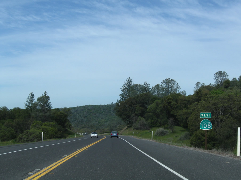
Combined with California 132 until it turns north toward Oakdale, California 108 commences east from California 99 in Modesto. Oakdale, home of a large Hershey chocolate plant, is where California 108 overlaps with California 120. One of the longest combined routes in the state, California 108-120 travel 26 miles together. California 120 heads southeast toward Yosemite National Park, while California 108 leads northeasterly into the historic gold mining communities of Jamestown and Sonora.
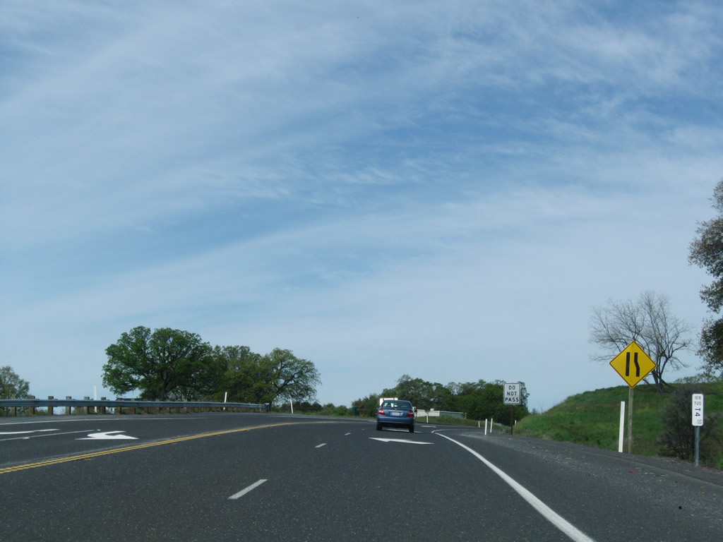
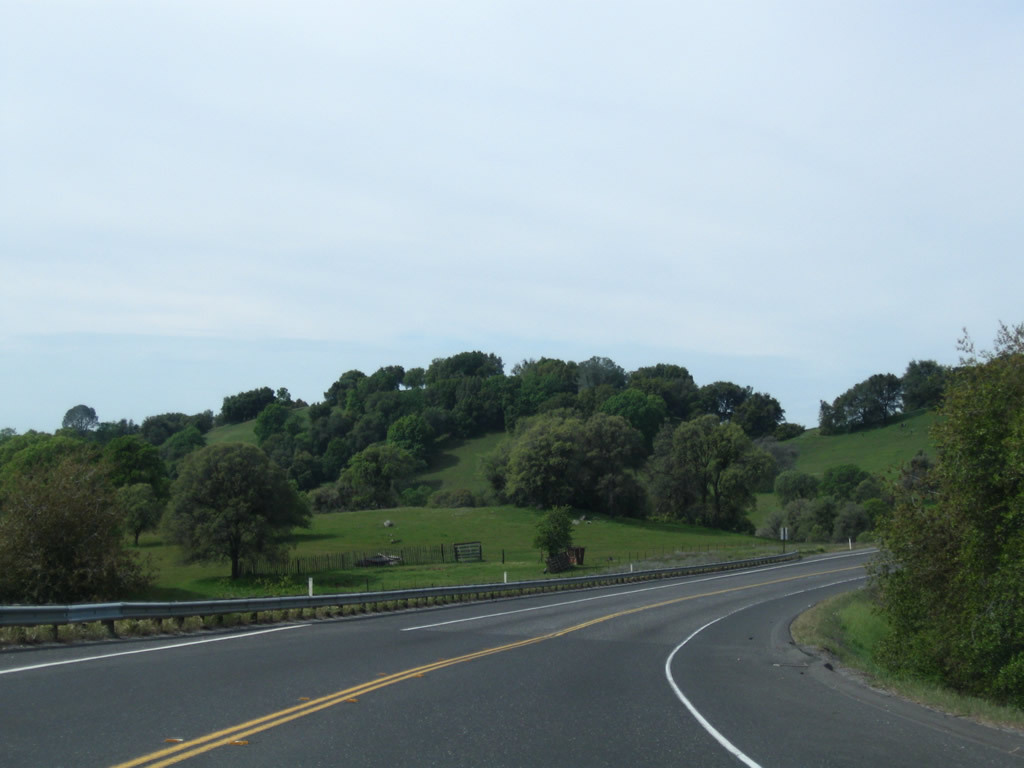
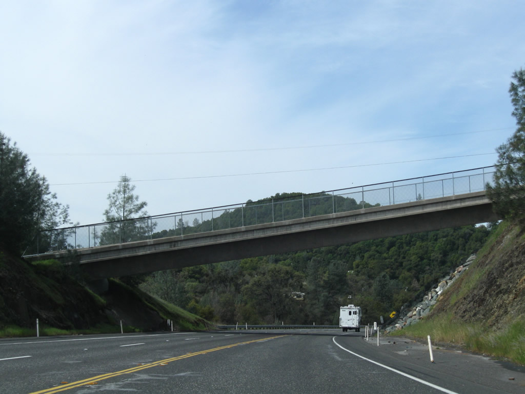
Shifting between a two-lane rural highway and a four-lane freeway in varying intervals, California 108 has a "historic loop" at Jamestown and business loops at Sonora and Twain Harte. Plans call for improvements to increase the capacity of California 108. Traffic remains heavy along California 108 until it reaches Lake Pinecrest, Dodge Ridge, and Strawberry. After these camping/skiing destinations, California 108 narrows to a very narrow two-lane mountain route, crossing the Sierra Nevada in the Summer months only by passing over the Sonora Pass at 9,624 feet. From that height, California 108 drops dramatically into the Walker River Valley, ending at U.S. 395 about 17 miles northwest of Bridgeport, just shy of the Nevada state line.
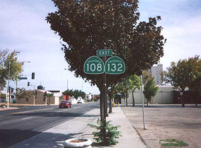
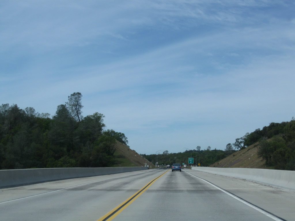
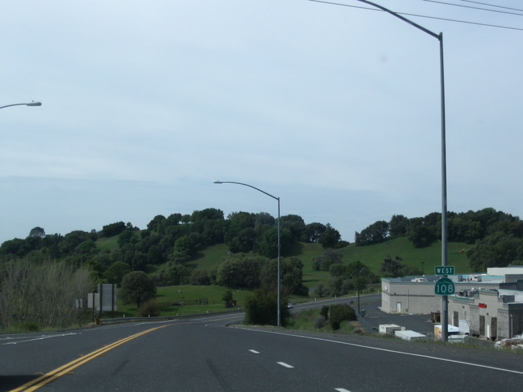
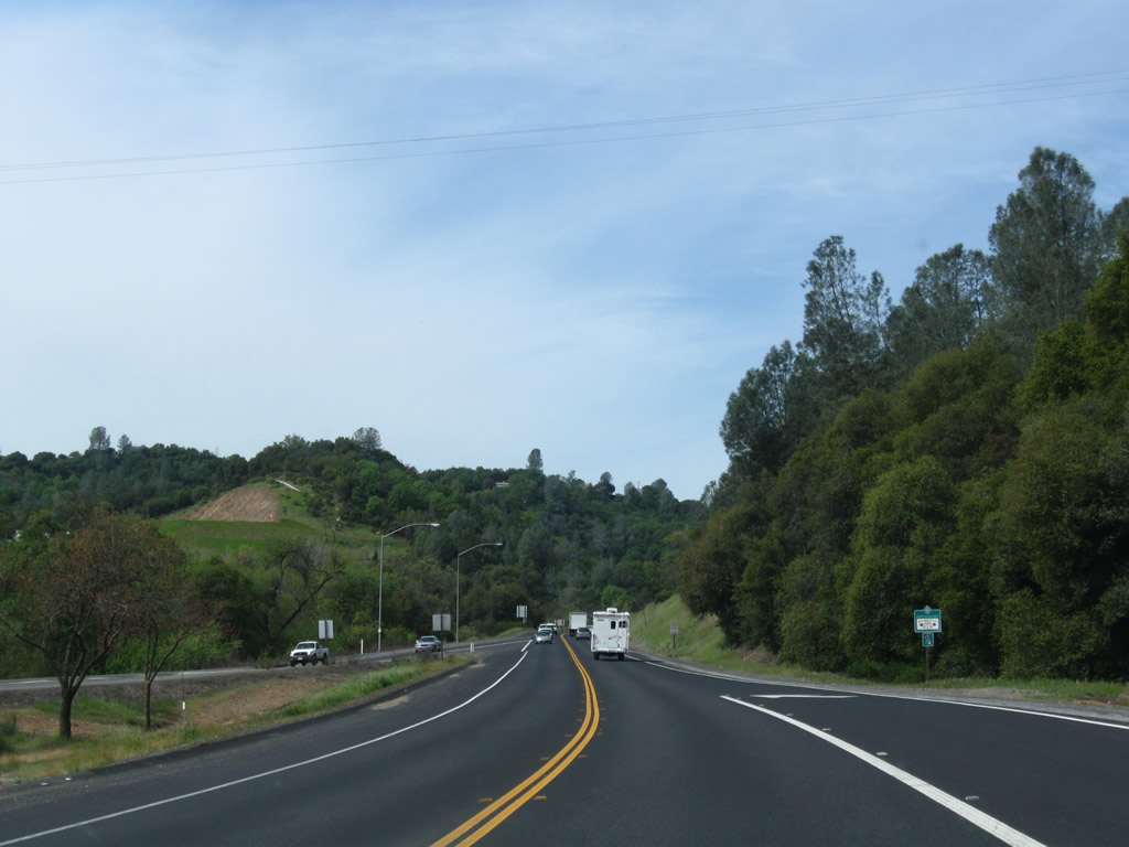
This view is found on eastbound California 108 and California 132 in Modesto just east of California 99.
2002
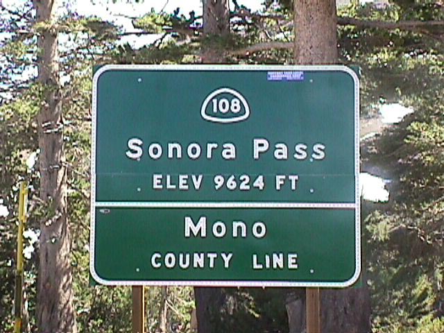
Eastbound California 108 ascends to Sonora Pass (9,624 feet), where it leaves Tuolumne County and enters Mono County.
1999
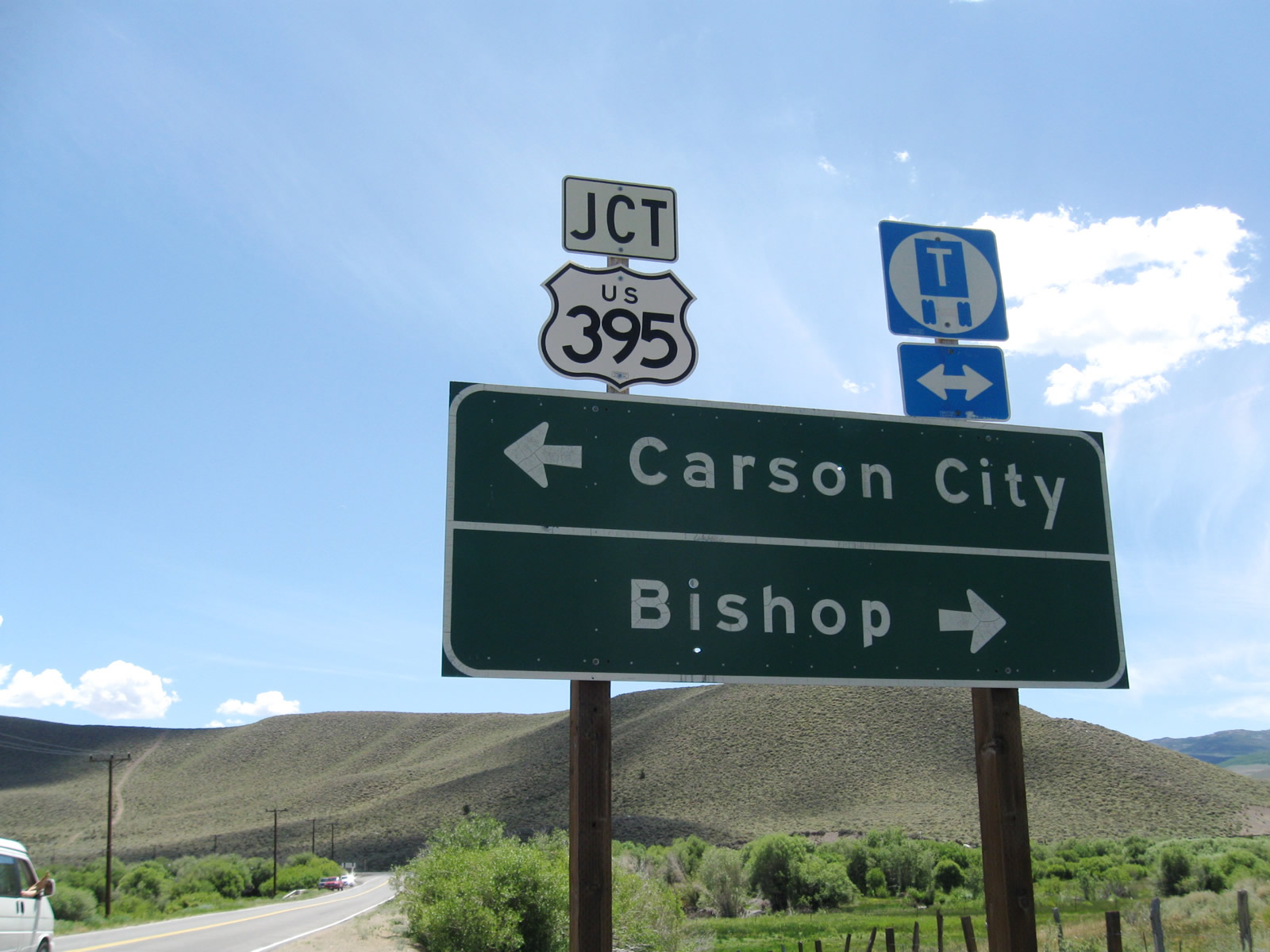
California 108 east converges with U.S. 395 at Sonora Junction. This major highway travels the length of the Eastern Sierra, connecting mountain communities from the Mojave Desert north to Reno and points north.
07/25/09
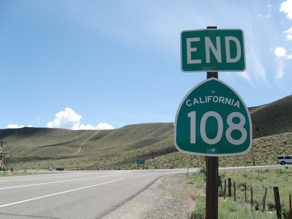
An end California 108 shield assembly is posted prior to the U.S. 395 intersection at Sonora Junction.
07/25/09
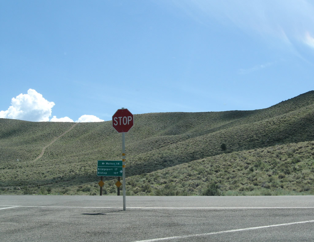
At the intersection with U.S. 395 is a T-intersection with ramp to connect to U.S. 395 south (east) to Bridgeport (17 miles). U.S. 395 then continues south to Bishop and points south. Turn left for U.S. 395 north to Walker (14 miles), which has the nearest motorist services. U.S. 395 continues from there past Topaz Lake at the California-Nevada state line, then travels toward Gardnerville, Minden, Carson City, and Reno-Sparks.
07/25/09
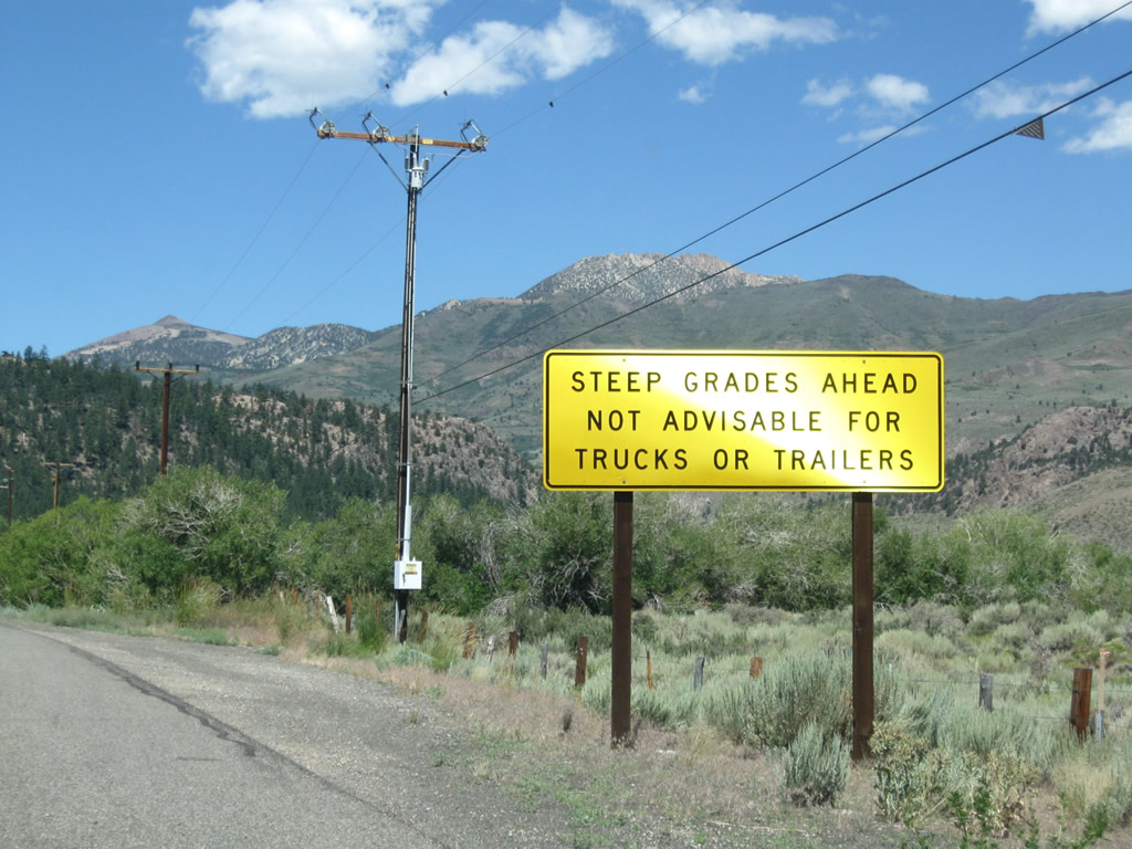
California 108 travels west from U.S. 395 and Sonora Junction over Sonora Pass within the Sierra Nevada. Trucks are not advised for this narrow, winding route over the mountains.
07/25/09
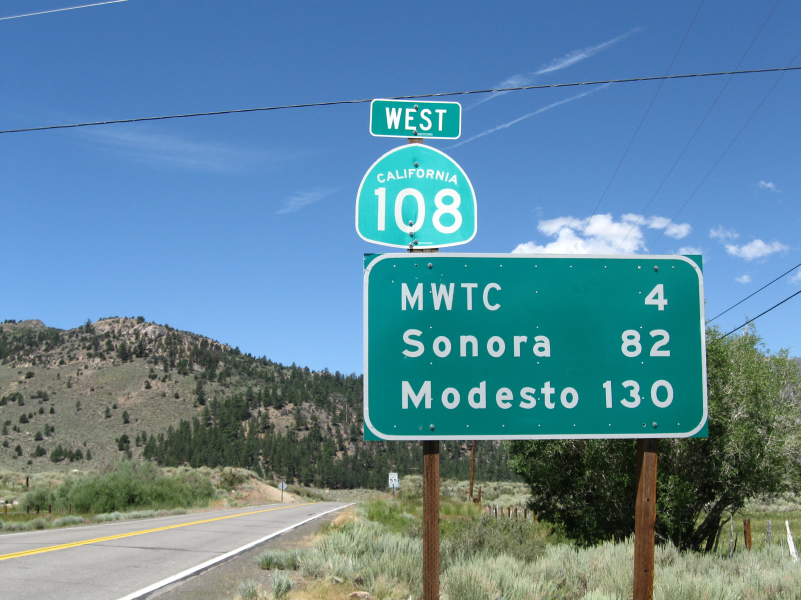
The first westbound reassurance shield for California 108 is posted along with a mileage sign that provides the distance to the Marine Corps Training Center (four miles), Sonora (82 miles), and Modesto (130 miles).
07/25/09
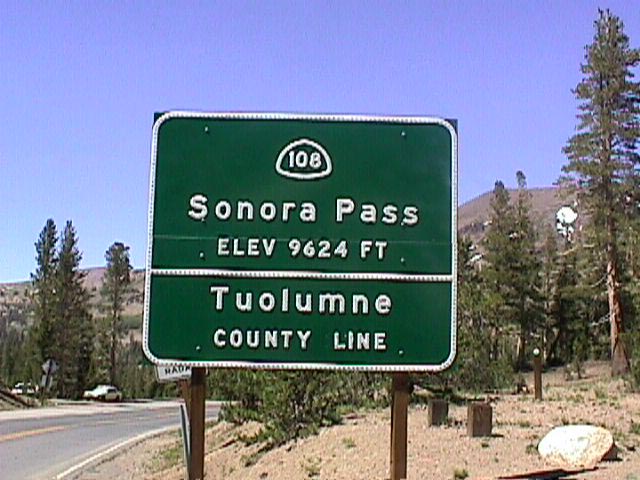
California 108 crosses the Sierra Nevada at Sonora Pass (9,624 feet), where the state route leaves Mono County and enters Tuolumne County.
1999
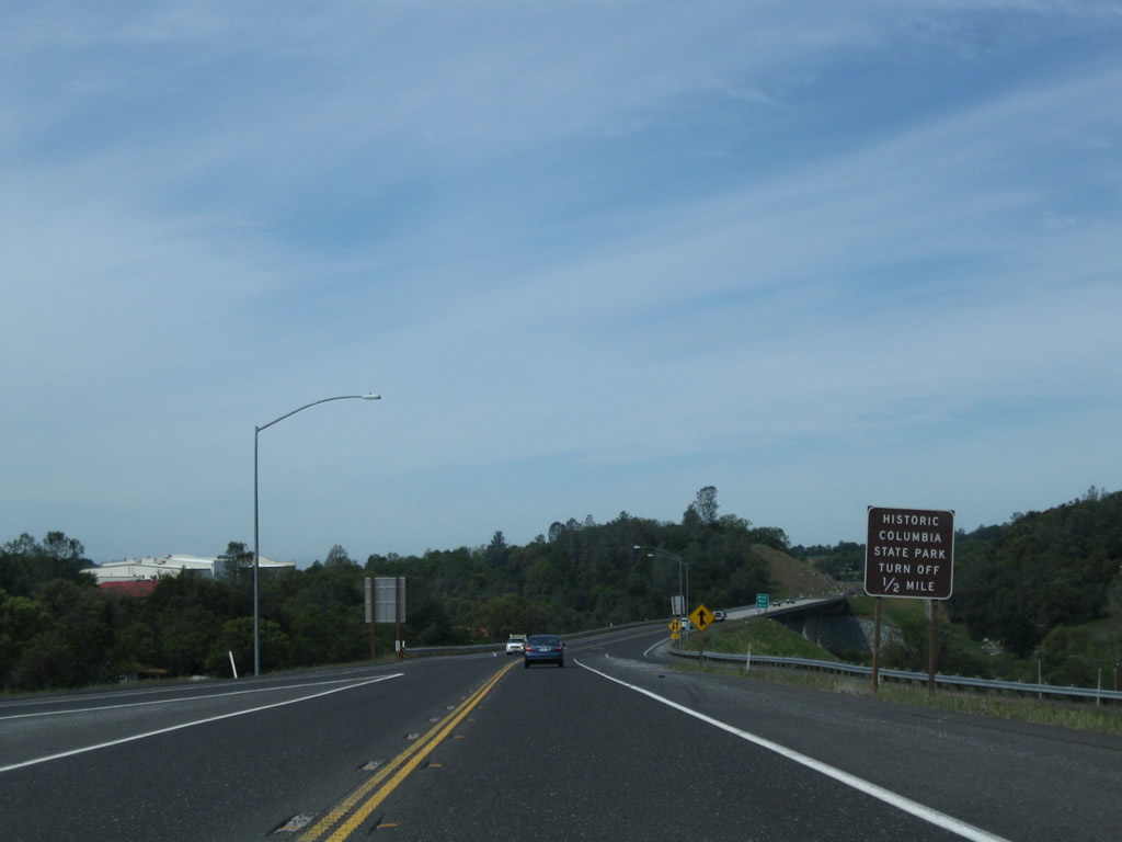
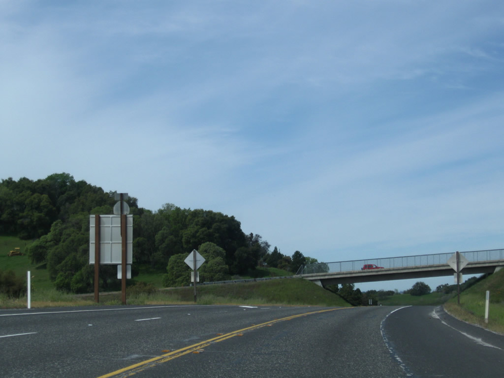
The Sonora Bypass carries California 108 around the city of Sonora. Originally built in 1987 as an at-grade, two-lane highway between California 49 and Mono Way (California 108 Business), the bypass was extended from Mono Way to Peaceful Oak Road (Standard Road) in July 2004. Plans call for a further extension east from Peaceful Oak Road to Via Este in 2011, and a third segment from that point east to Soulsbyville Road near the base of the Twain Harte Grade is scheduled for construction thereafter, pending funding identification. This photo shows the eastern beginning of the Sonora Bypass (also called the Sonora Bypass East) as of 2009 leaving Peaceful Oak Road (Standard Road). For now, the bypass uses the eastbound lanes, meaning the first postmile on the bypass is shown with a "T" prefix (for "temporary").
04/13/09
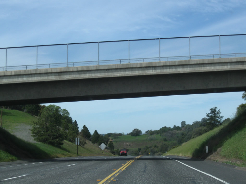
This is the first westbound reassurance shield for California 108 after leaving the intersection with Peaceful Oak Road (Standard Road). When new westbound lanes are built on a separate carriageway, the current roadway will become the eastbound lanes.
04/13/09
This roadway cut was initially built for the two-lane highway, but it has ample room to expand the bypass route to full freeway standards.
04/13/09
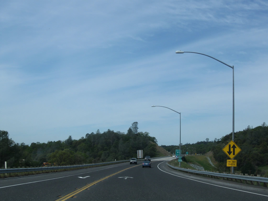
The Sonora Bypass East is a two-lane freeway. California 108 has two lanes of traffic, one in each direction, plus interchanges to limit access control. The bypass reverts to a two-lane expressway after the California 108 Business (Mono Way) interchange.
04/13/09
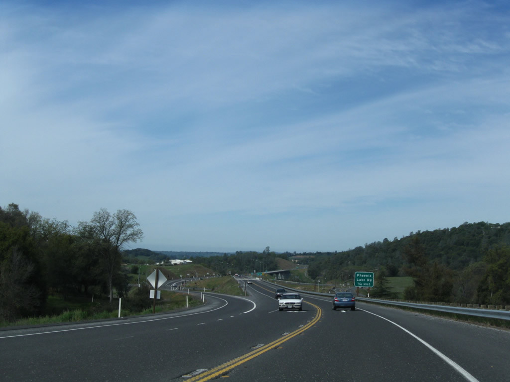
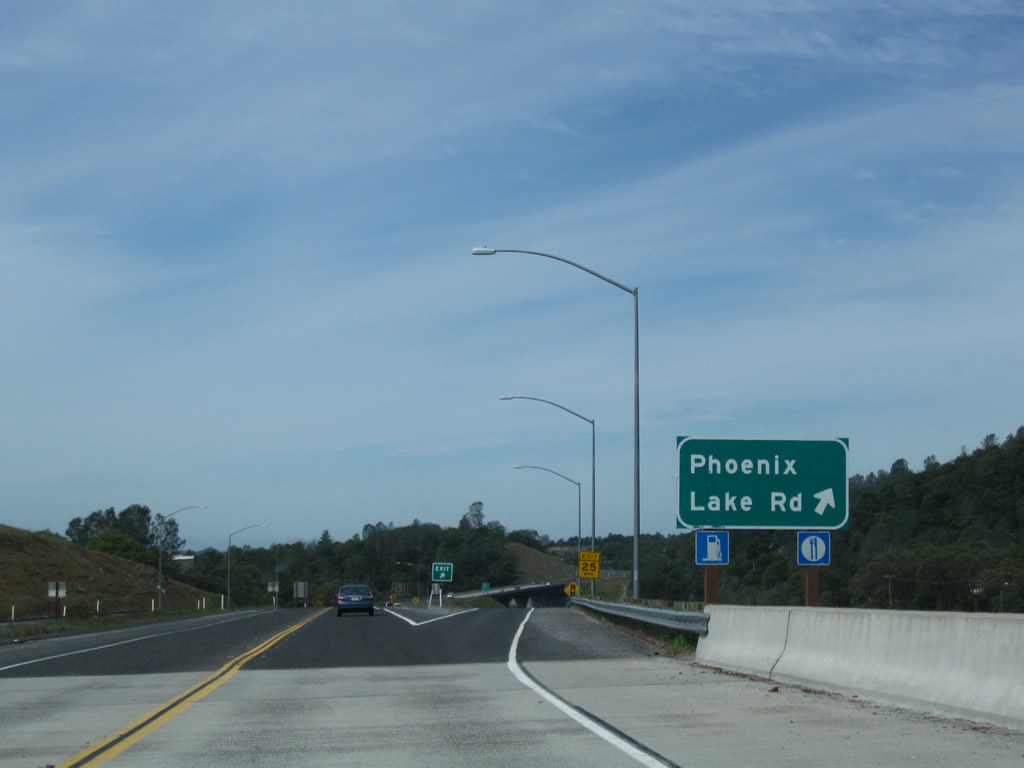
The next exit along California 108 (Sonora Bypass) west is the interchange with Phoenix Lake Road (0.25 mile).
04/13/09
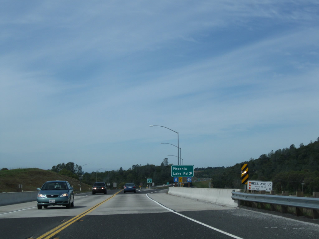
California 108 (Sonora Bypass) crosses over Hess Avenue.
04/13/09
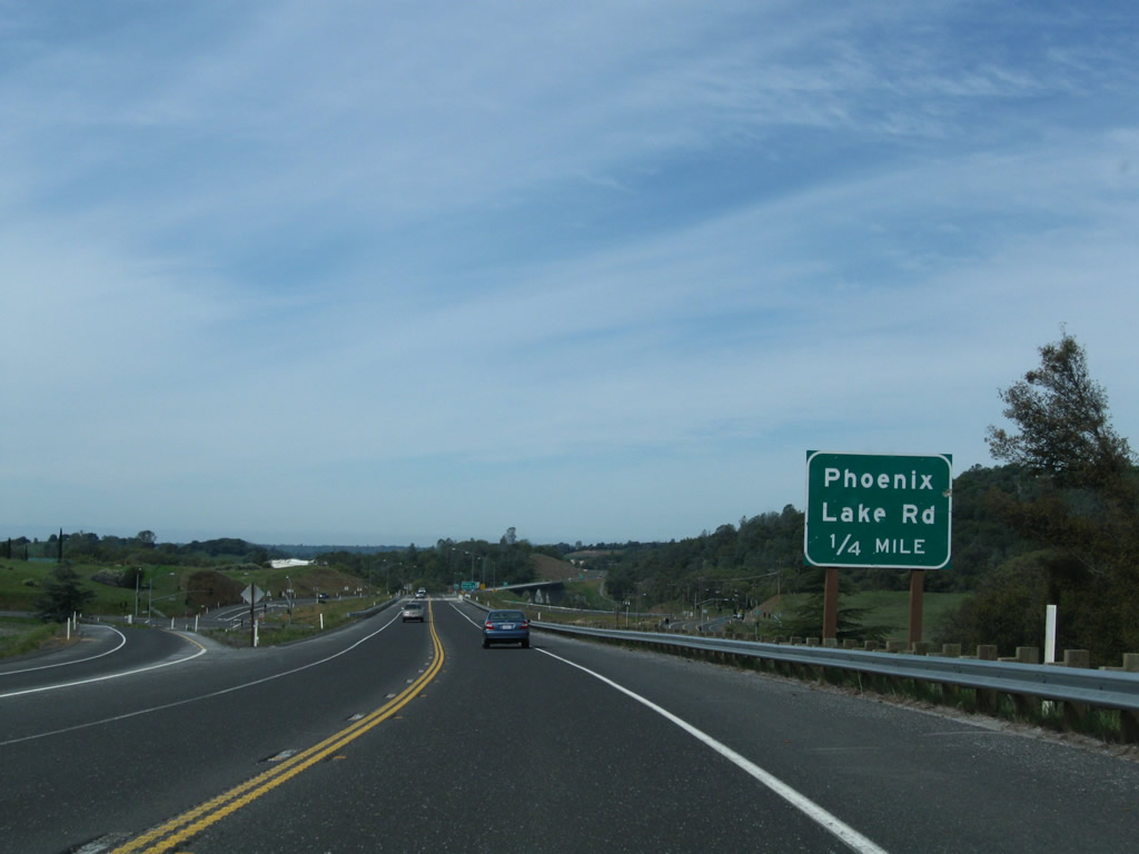
Westbound California 108 (Sonora Bypass) meets the off-ramp to Phoenix Lake Road.
04/13/09
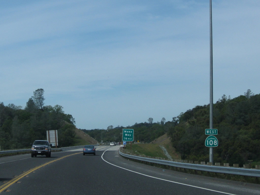
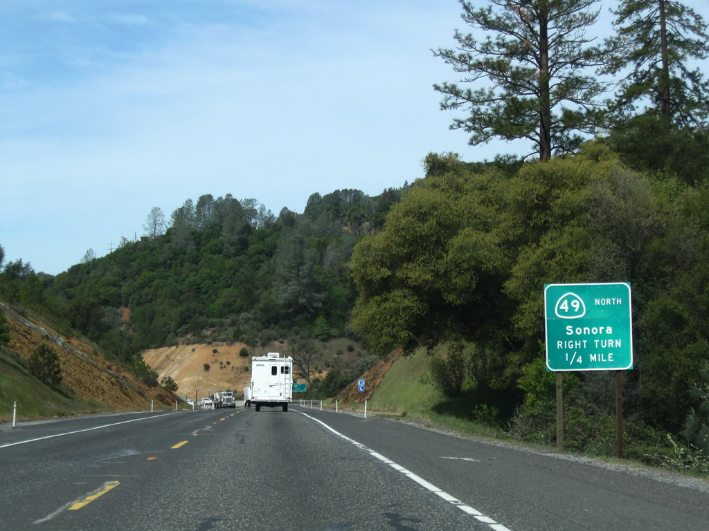
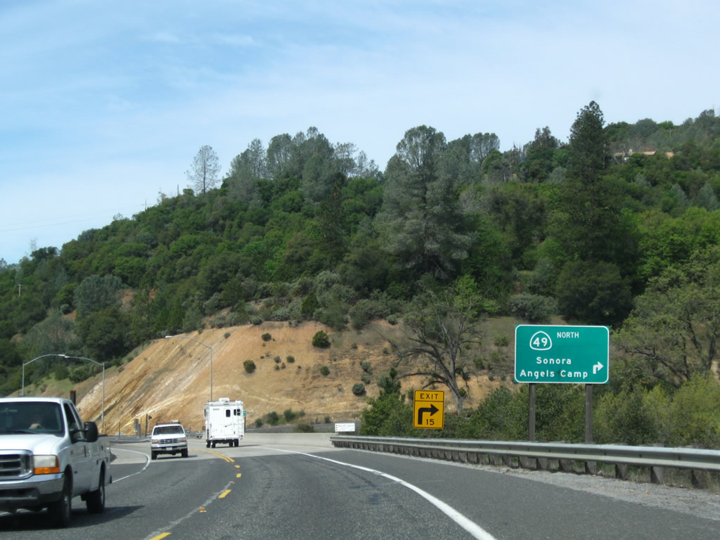
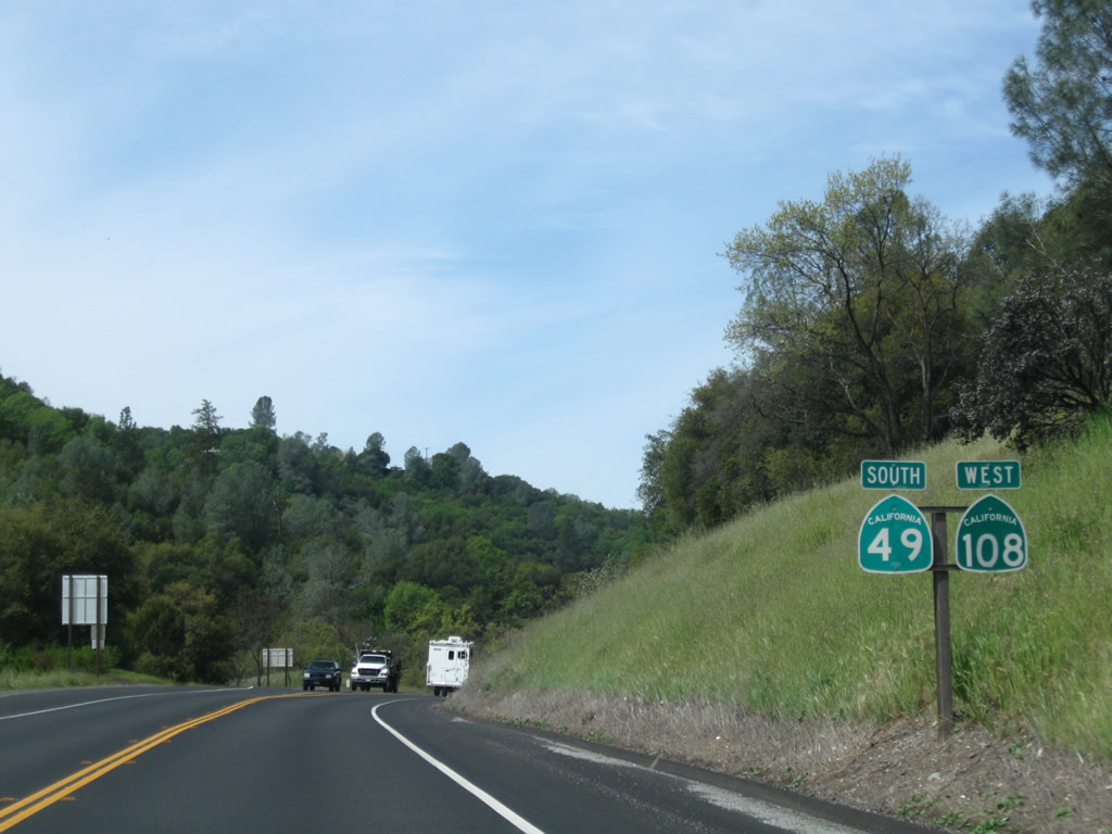
The next exit along California 108 (Sonora Bypass) west is the interchange with California 108 Business (Mono Way) west to downtown Sonora (0.50 mile). To California 49 north en route to Columbia and Angels Camp, use the California 108 Business off-ramp.
04/13/09
The two-lane freeway continues along California 108 (Sonora Bypass) west.
04/13/09
A California 108 west reassurance shield is posted shortly thereafter.
04/13/09
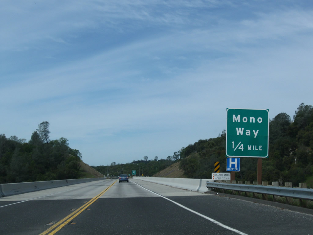
Crossing over Sullivan Creek, westbound California 108 (Sonora Bypass) approaches the junction with California 108 Business (Mono Way) (0.25 mile). California 108 Business, which currently begins at Peaceful Oak Road, extends along Old California 108 from that intersection west into downtown Sonora. Between Peaceful Oak Road and the upcoming interchange, California 108 Business passes under its parent roadway, then meets California 49 in downtown Sonora.
04/13/09
Along with the rest of the eastern segment of the bypass, the bridge over Sullivan Creek was built and opened to traffic in 2004.
04/13/09
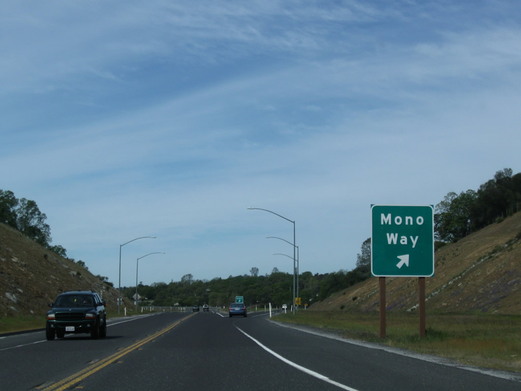
Westbound California 108 (Sonora Bypass) meets California 108 Business (Mono Way) at this interchange. The Super Two freeway will downgrade to a two-lane expressway after this interchange (at least temporarily, until the ultimate four-lane freeway facility can be built). Ample right of way is available for the proposed expansion of the bypass to four lanes.
04/13/09
California 108 (Sonora Bypass) prepares to cross over Mono Way (Business 108).
04/13/09
Soon thereafter, California 108 (Sonora Bypass) passes over Mono Way.
04/13/09
After the on-ramp from Mono Way, another California 108 west reassurance shield is posted along westbound.
04/13/09
California 108 leaves the 2004 Sonora Bypass East and joins the 1987 original Sonora Bypass. Prior to the construction of the interchange at Mono Way, a traffic signal governed the flow of traffic between the Sonora Bypass and Mono Way. That was a very busy intersection. The interchange is much more efficient at distributing traffic.
04/13/09
Westbound California 108 (Sonora Bypass) begins a rather steep descent along the 1987 Sonora Bypass. In the other direction is a guide sign for Mono Way, which includes a shield assembly for Business Route 108.
04/13/09
California 108 (Sonora Bypass) passes under Old Wards Ferry Road, which is grade-separated from the bypass.
04/13/09
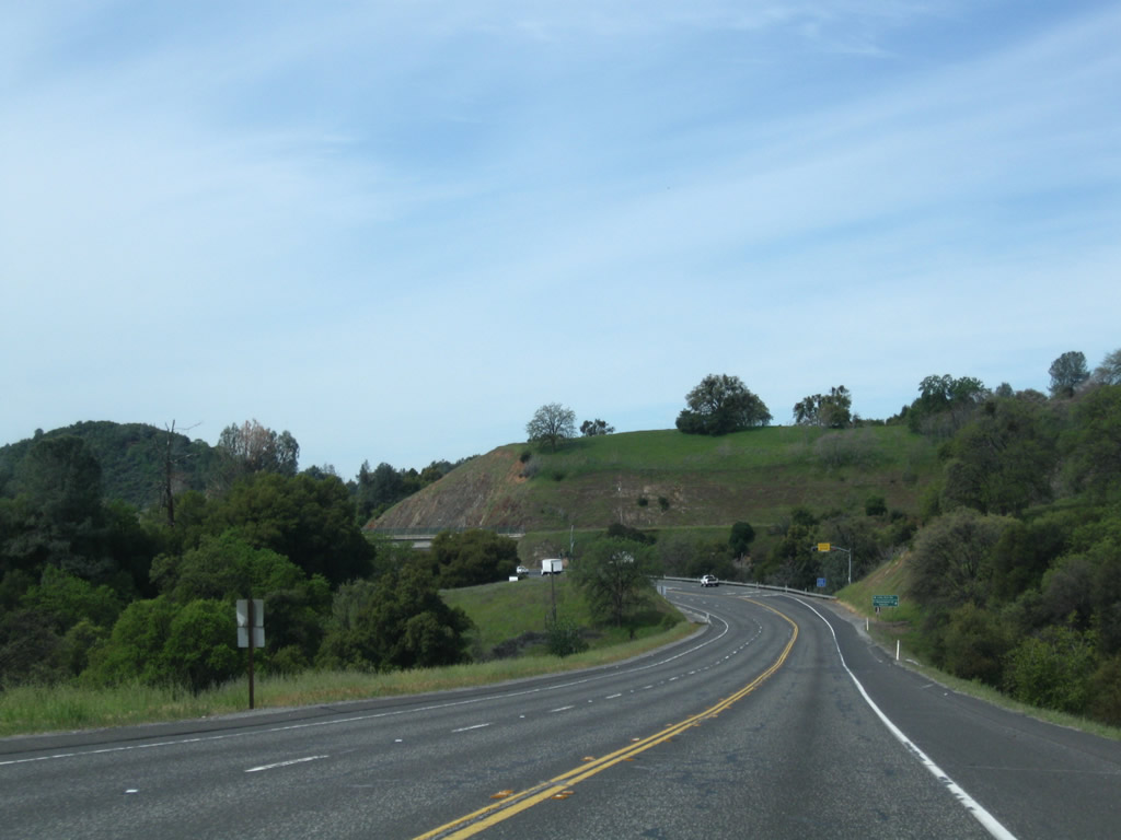
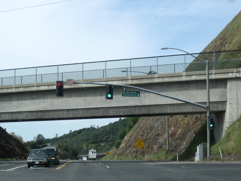
Continuing downhill, a climbing lane assists eastbound traffic en route to Mono Way. Ahead, westbound California 108 (Sonora Bypass) approaches Lime Kiln Road and Washington Street (0.25 mile), a signalized intersection.
04/13/09
Westbound California 108 (Sonora Bypass) approaches Lime Kiln Road and Washington Street to downtown Sonora.
04/13/09
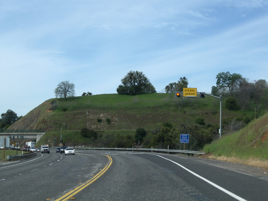
A signal ahead sign is mounted overhead on westbound California 108 prior to Lime Kiln Road and Washington Street.
04/13/09
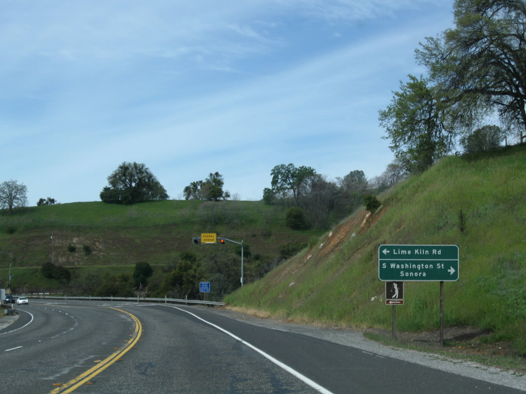
Westbound California 108 (Sonora Bypass) meets Lime Kiln Road and Washington Street to downtown Sonora.
04/13/09
California 108 (Sonora Bypass) passes under Crooked Lane.
04/13/09
Westbound California 108 (Sonora Bypass) approaches its final interchange: California 49/West Stockton Street north and California 108 Business east to downtown Sonora. This interchange marks the western terminus of California 108 Business.
04/13/09
Westbound California 108 (Sonora Bypass) meets California 49/West Stockton Street. California 49/Mother Lode Highway (Gold Country Highway) travels northeast to downtown Sonora, then turns northwest and then north to Columbia, Angels Camp, and Jackson.
04/13/09
The interchange between California 108 and California 49 is substandard, with limited deceleration area and a sharp right turn. This configuration may be changed once the bypass is widened to four-lane freeway standards.
04/13/09
Even as traffic merges onto California 108 west from California 49 south, the bypass remains with only two lanes.
04/13/09
This reassurance shield assembly shows both California 108 west and California 49 south.
04/13/09
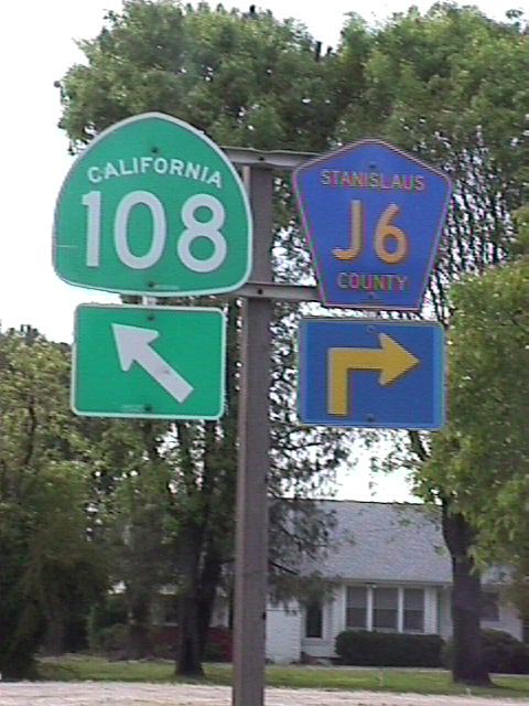
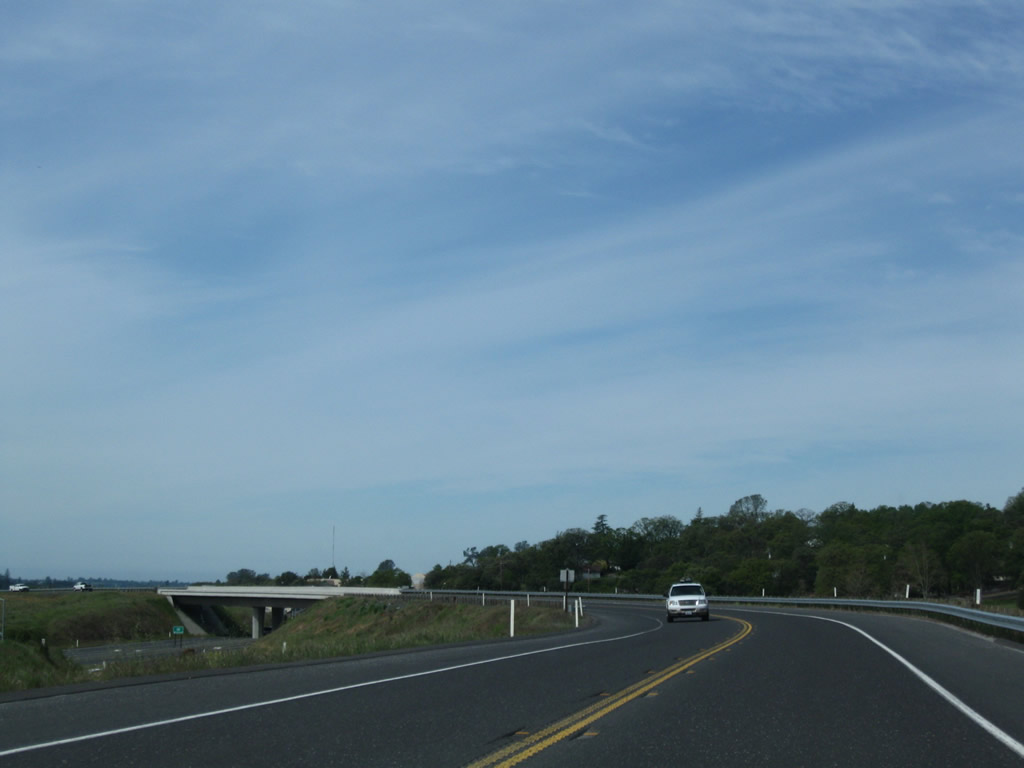
Westbound California 108 meets Stanislaus County Route J-6 at this intersection. California 108 then turns left (south) from Patterson Road onto McHenry Avenue, while County Route J-6 leads north along McHenry Avenue to Escalon (it changes to San Joaquin County J-6 upon crossing the Stanislaus River), where it meets San Joaquin County Route J-14.
06/19/01
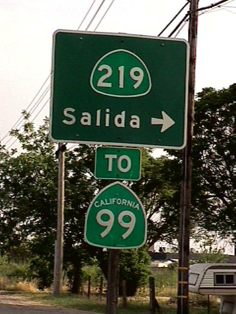
Now traveling nearly due south, California 108 meets California 219 (Kiernan Avenue) between Riverbank and Modesto. California 219 leads west from here to meet California 99 at Salida.
06/19/01
Photo Credits:
- Trevor Carrier: 2002
- Joel Windmiller/Mike Ballard: 1999
- Andy Field: 04/13/09, 07/25/09
- Joel Windmiller: 06/19/01
Connect with:
Page Updated Friday May 28, 2010.