
State Route 115
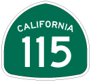
This California 115 reassurance shield is posted in Calipatria after the intersection with California 111 and Imperial County S-30. - 06/07/2008
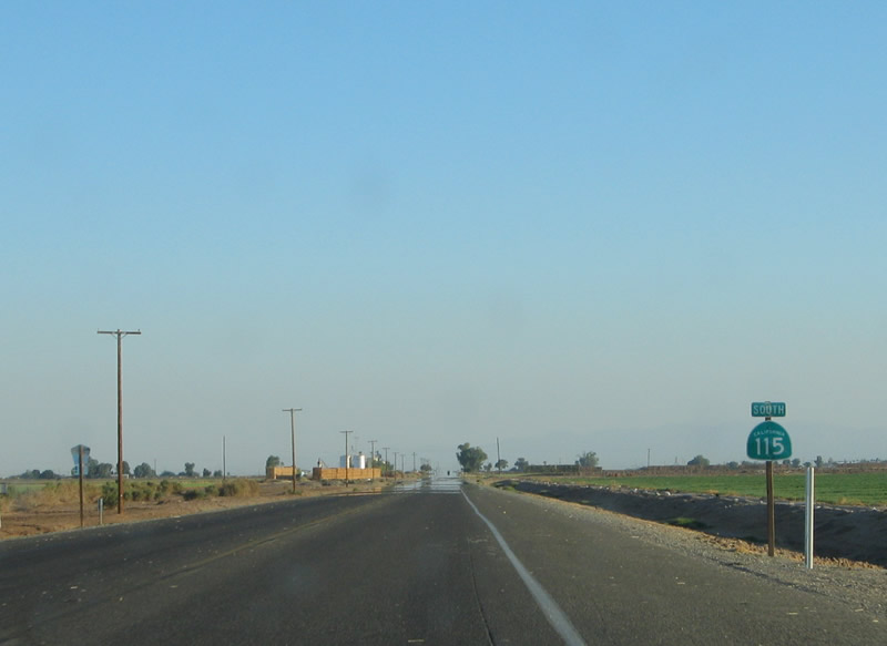
California 115 begins at Interstate 8 near the Holtville Hot Springs, follows Historic U.S. 80 west through Holtville, then turns north parallel to California 111. Briefly merging with California 78, California 115 serves the assorted farms of the eastern Imperial Valley. California 115 turns west at Wirt Road, and it ends at its junction with California 111 and Imperial County Route S-30 in Calipatria.
This view looks north on California 115 and west on Historic U.S. 80 after the intersection with Historic U.S. 80 east and Interstate 8. Notice how green these fields are, thanks to irrigation water from the Colorado River via the Highline Canal.
10/05/02
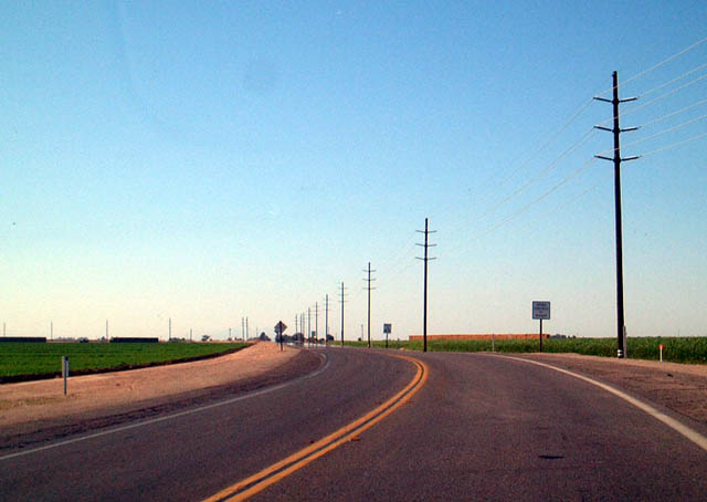
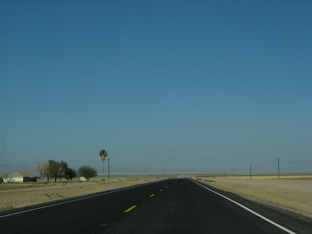
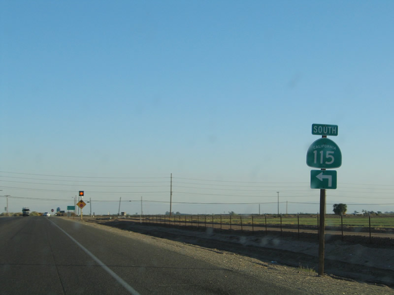
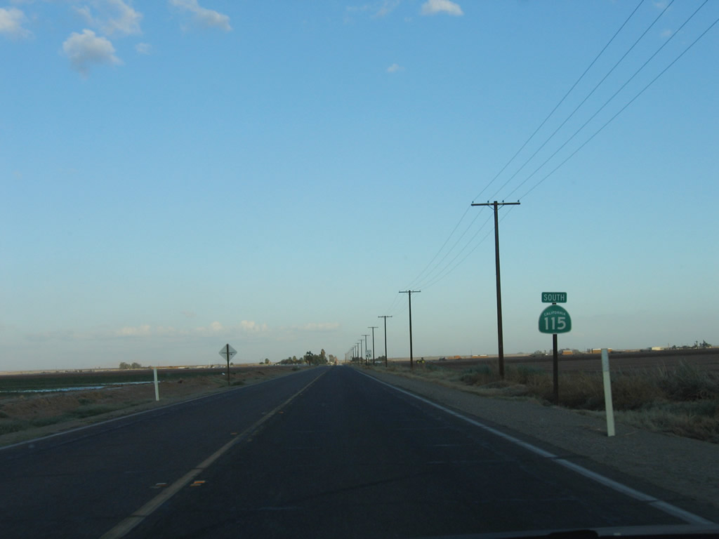
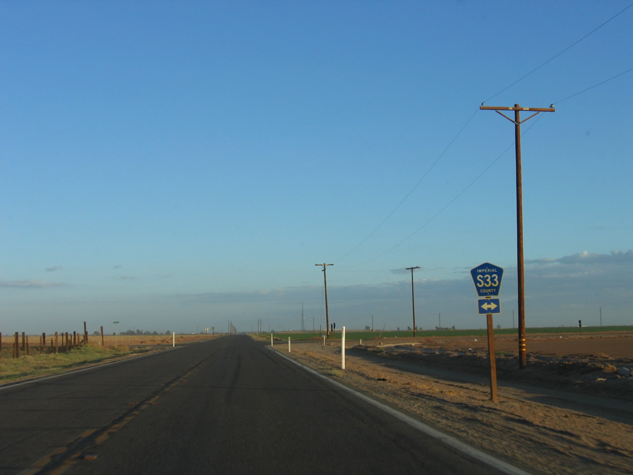
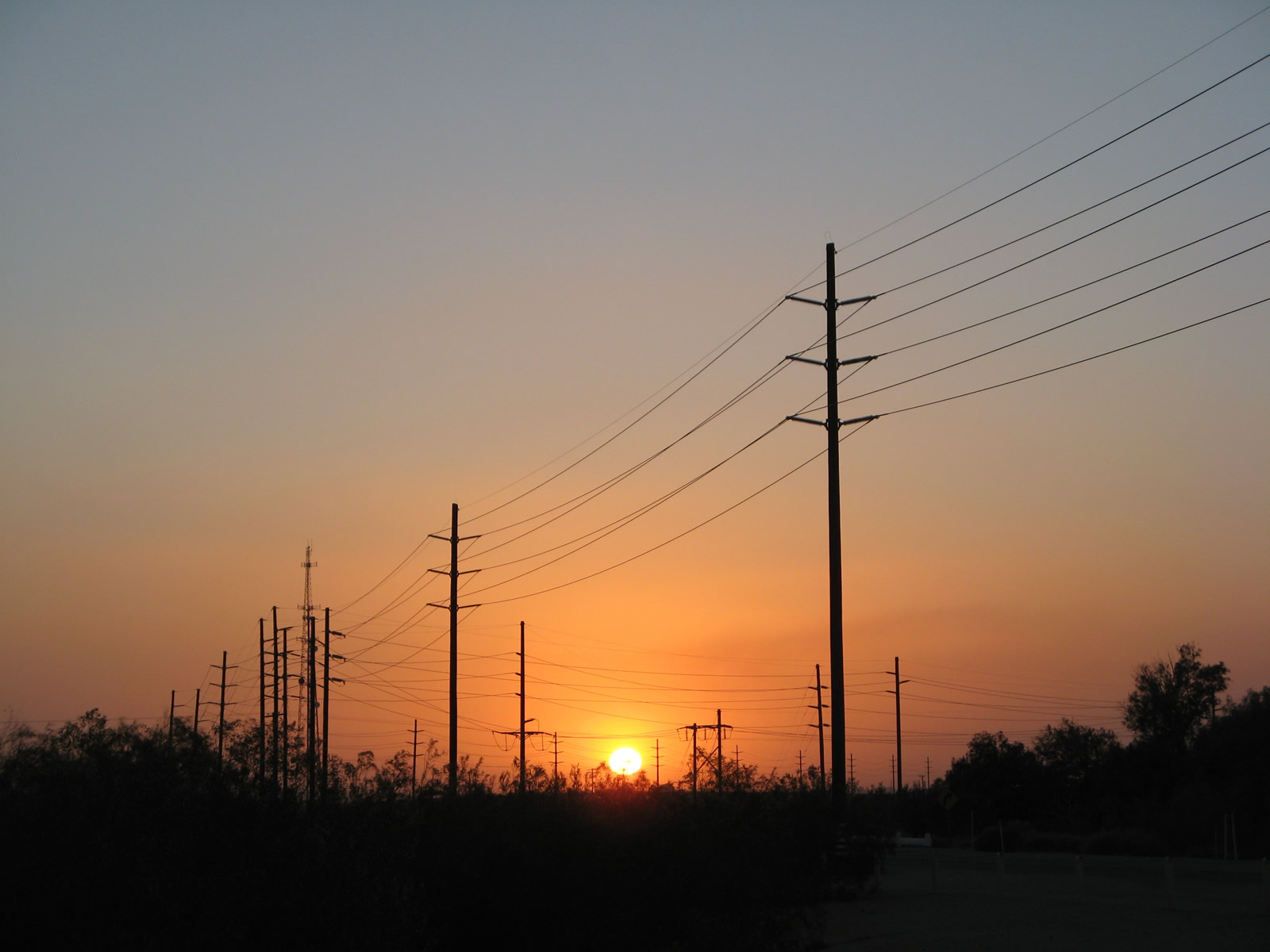
This view looks northwest at sunset along California 115 after the intersection with Imperial County Route S-33 (Miller Road).
06/07/08
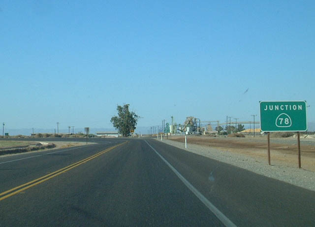
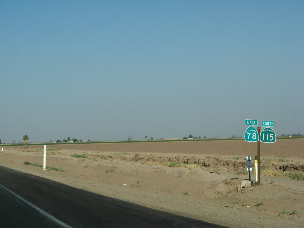
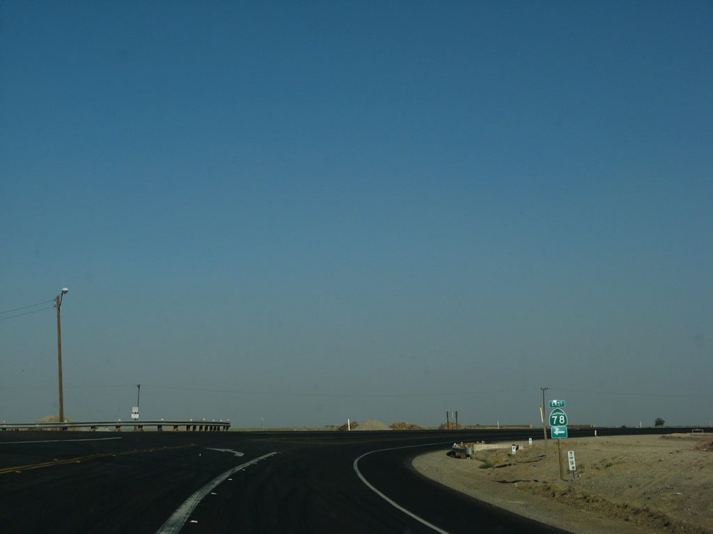
California 115 north approaches the intersection with California 78. California 115 and Westbound California 78 merge briefly; California 78 then continues west into Brawley. California 78 eastbound leads to Glamis and the northern end of the Imperial Sand Dunes and the southern end of the Chocolate Mountains Naval Reservation Aerial Gunnery Range, ultimately ending at Interstate 10 in Blythe.
10/05/02
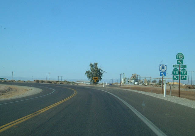
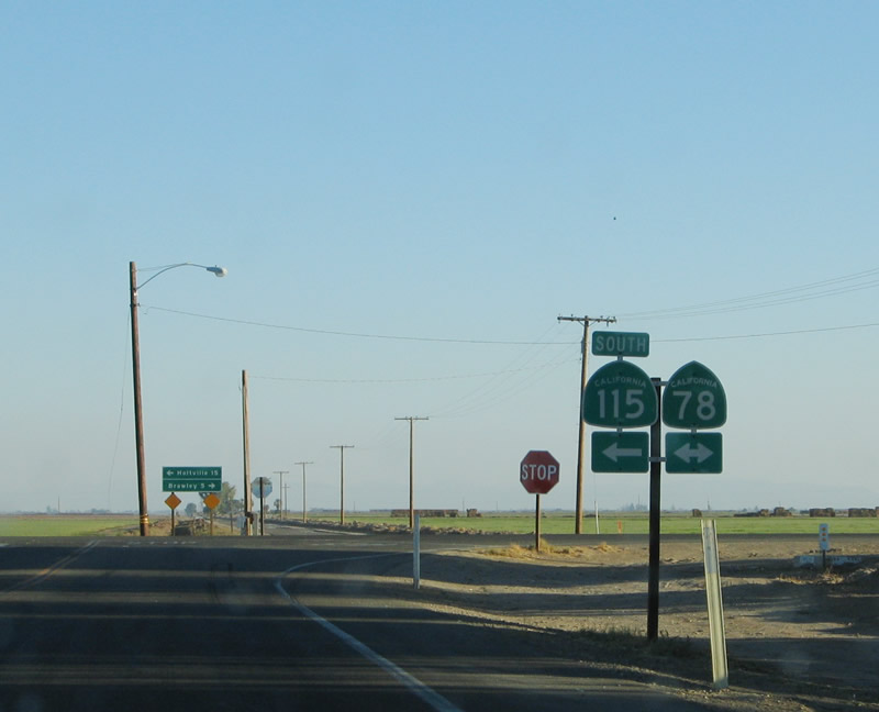
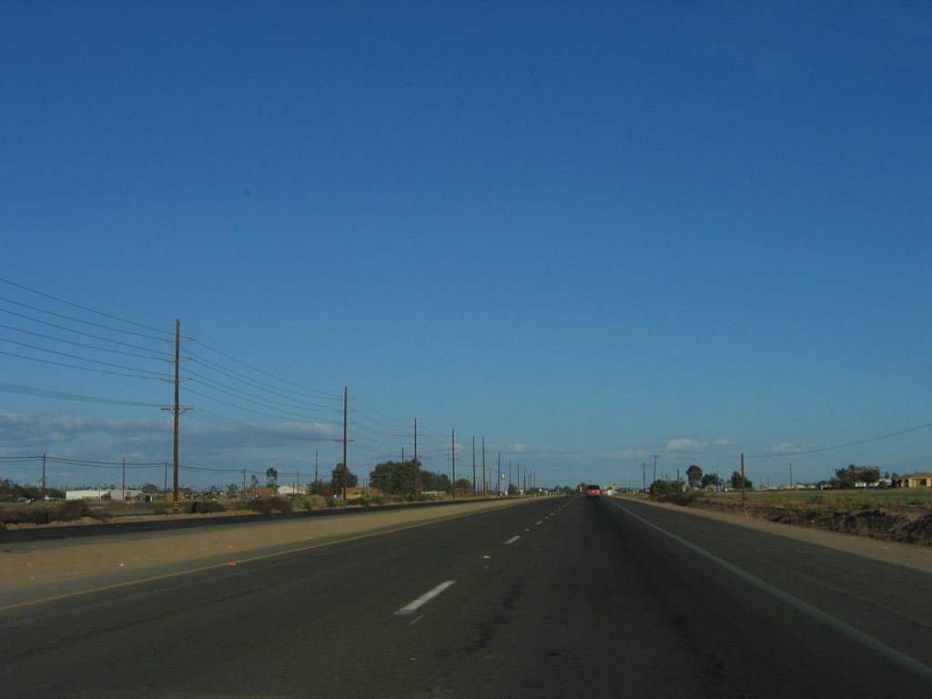
Northbound California 115 meets California 78. There are no services at this intersection.
10/05/02
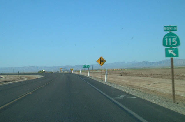
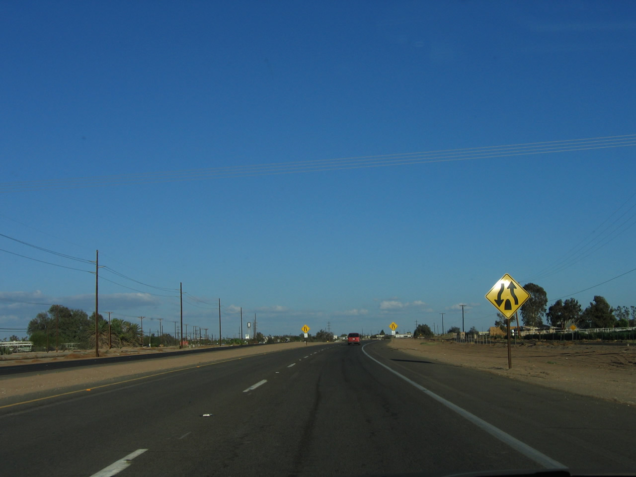
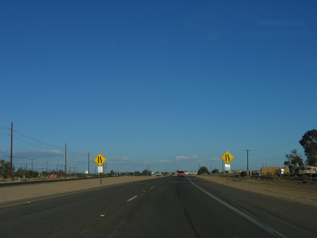
Northbound California 115 meets Eddins Road, Wirt Road, and West Road at this intersection. California 115 turns from a northerly to a westerly direction at this intersection.
10/05/02
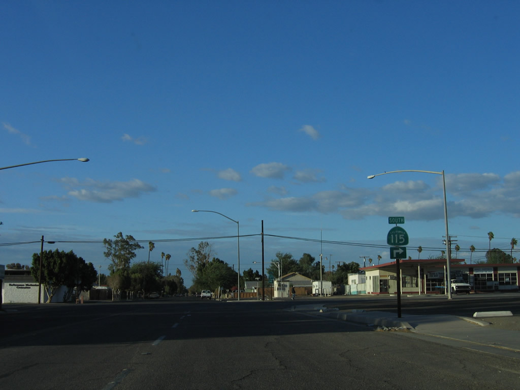
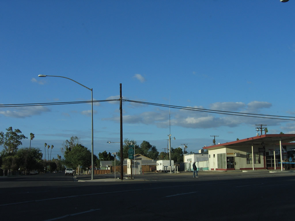
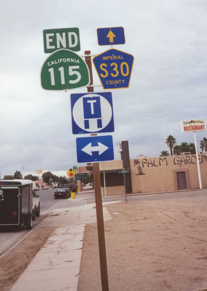
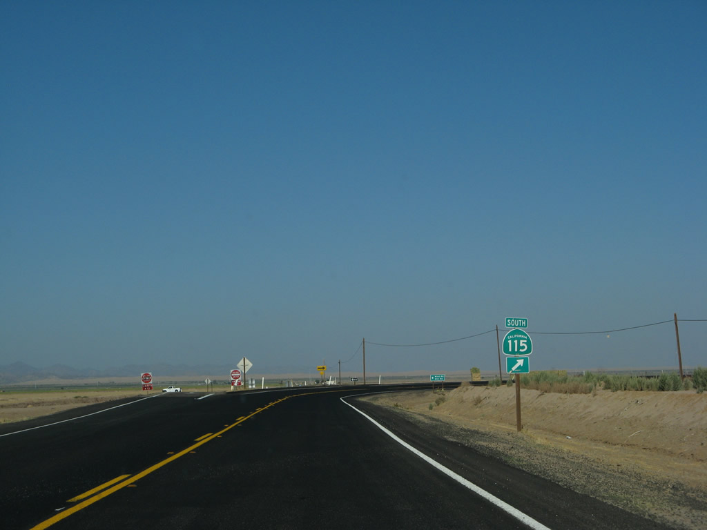
After entering Calipatria, northbound California 115 approaches California 111 and Imperial County Route S-30.
August 1999
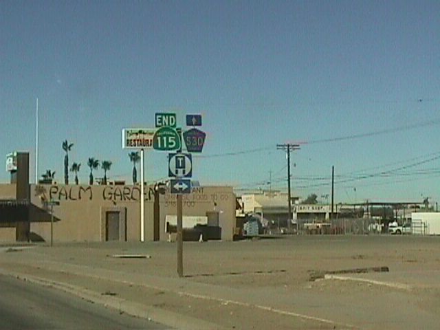
Northbound California 115 meets California 111 in Calipatria. Imperial County Route S-30 continues as Eddins Road west of Calipatria.
August 1999
November 2000
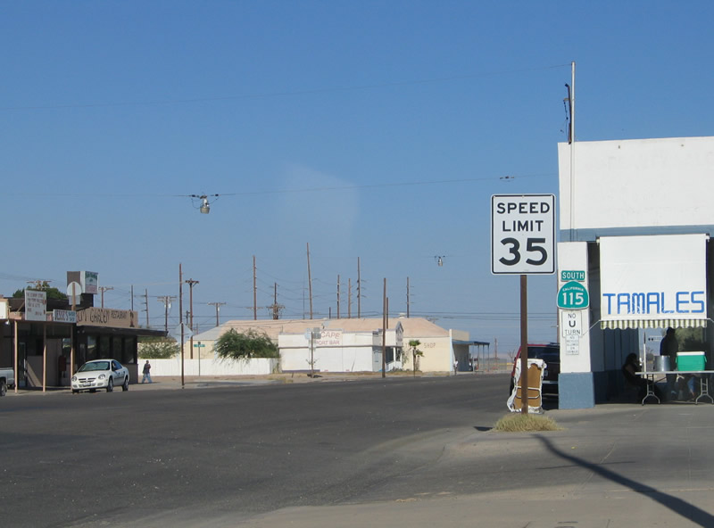
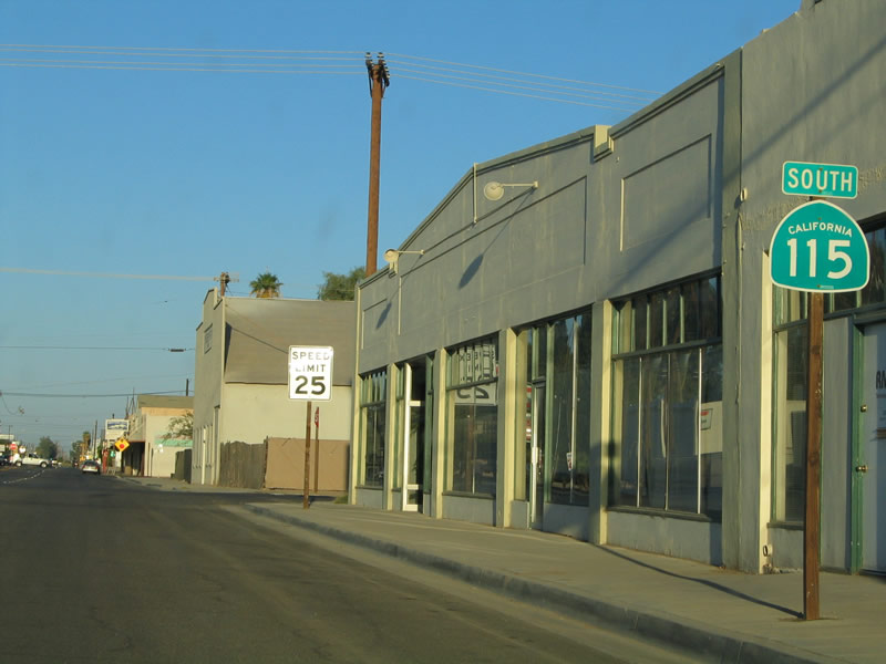
A California 115 shield is posted on the side of a building in downtown Calipatria where the route begins.
08/27/04
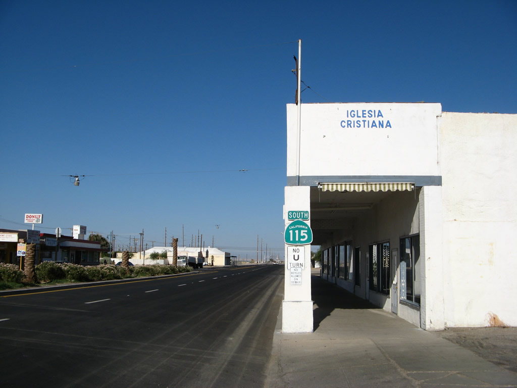
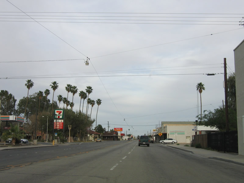
Some changes occurred between 2004 and 2008, including the business names as well as the introduction of a landscaped median along the centerline of California 115.
08/27/04
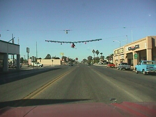
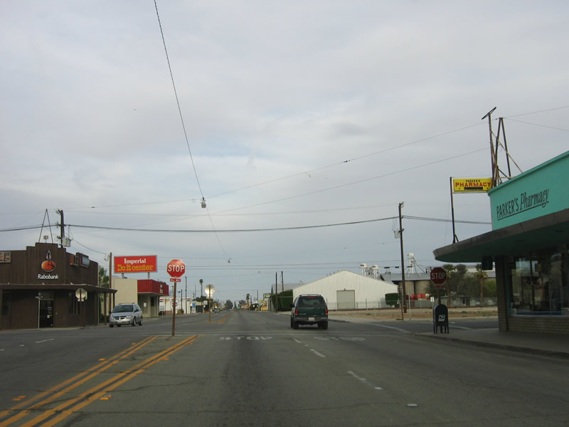
California 115 proceeds east through Calipatria.
06/07/08
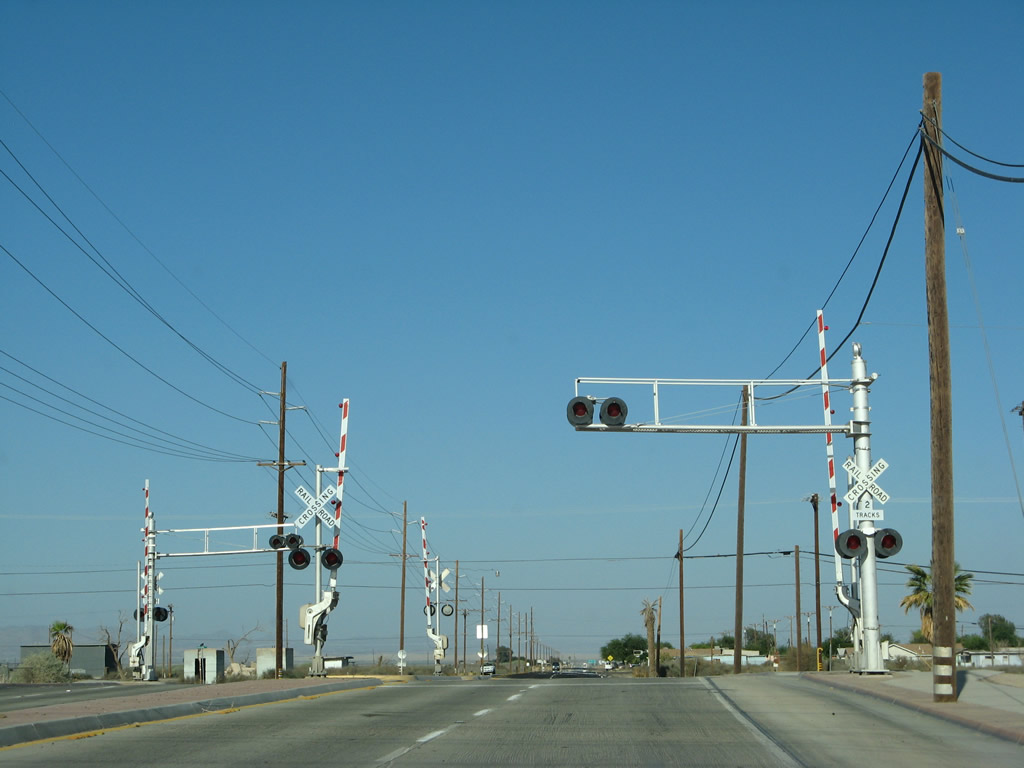
Leaving Calipatria, eastbound California 115 approaches the Union Pacific Railroad crossing. The railroad parallels California 111 from Calipatria north along the eastern shore of the Salton Sea to the Coachella Valley.
06/07/08
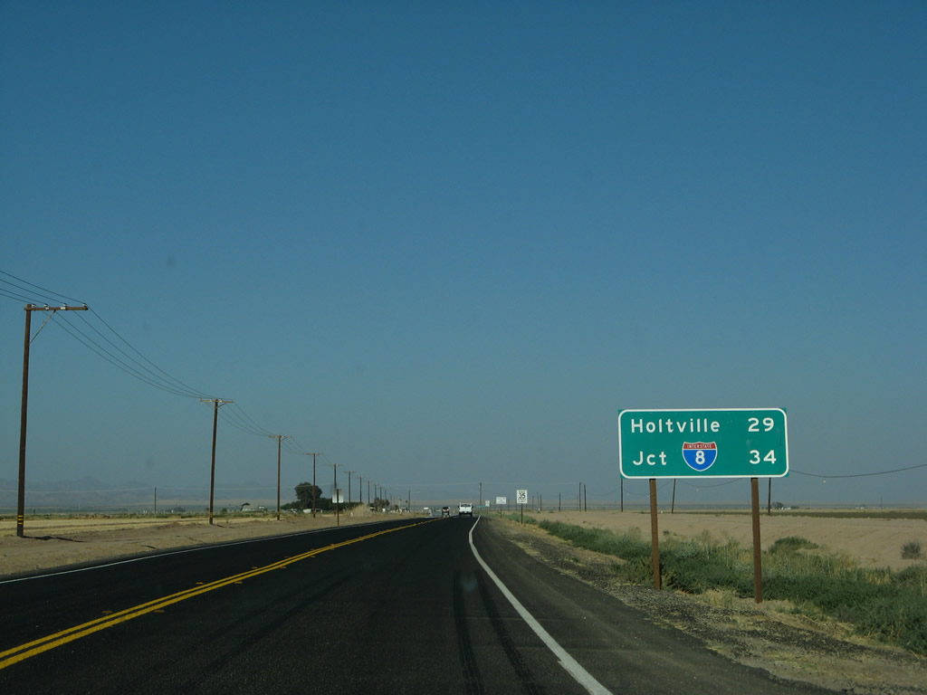
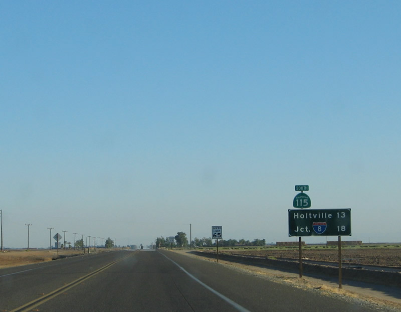
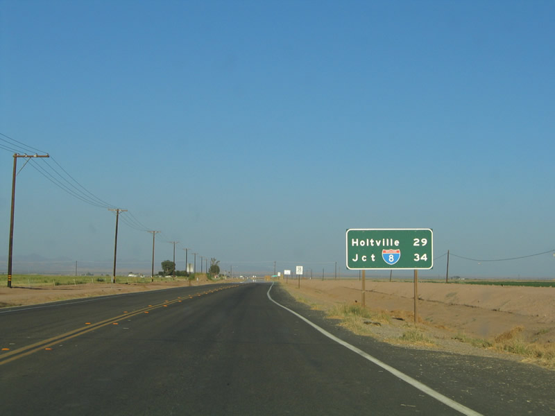
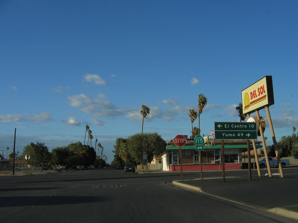
This mileage sign provides the distance to Holtville (29 miles) and Interstate 8 (34 miles). The Holtville Hot Springs are located near the Interstate 8 interchange on Old U.S. 80.
06/07/08
08/27/04
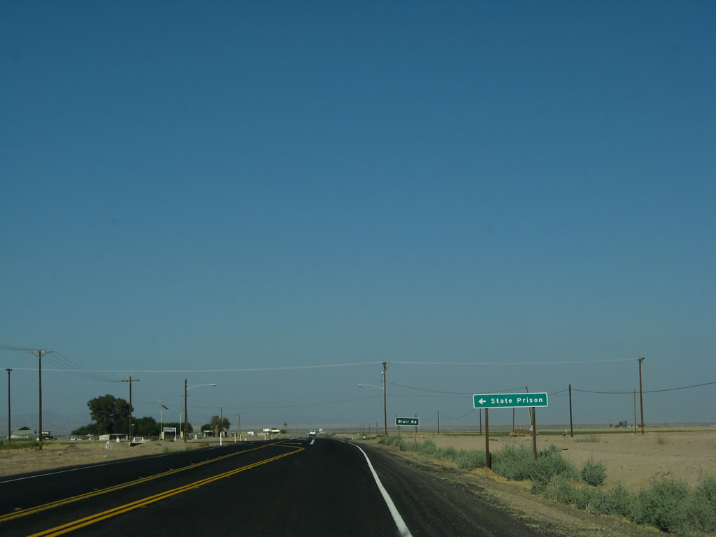
Southbound California 115 approaches Blair Road.
06/07/08
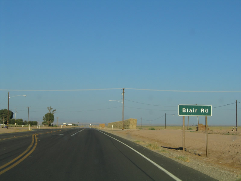
Southbound (eastbound) California 115 approaches Blair Road.
08/27/04
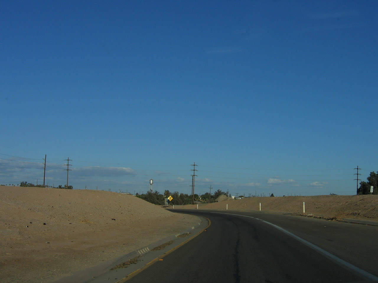
California 115 proceeds east past farmlands, then passes by an H-frame power tower. Soon thereafter, 115 will make a sharp turn south.
06/07/08
At this point, California 115 turns from east to south. A trailblazer points the way south on California 115.
06/07/08
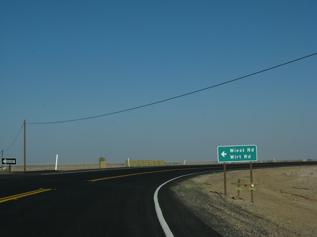
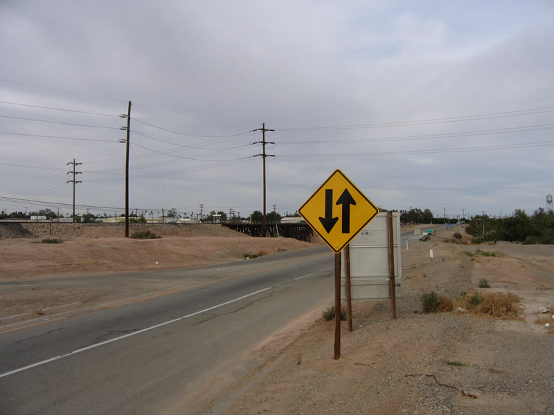
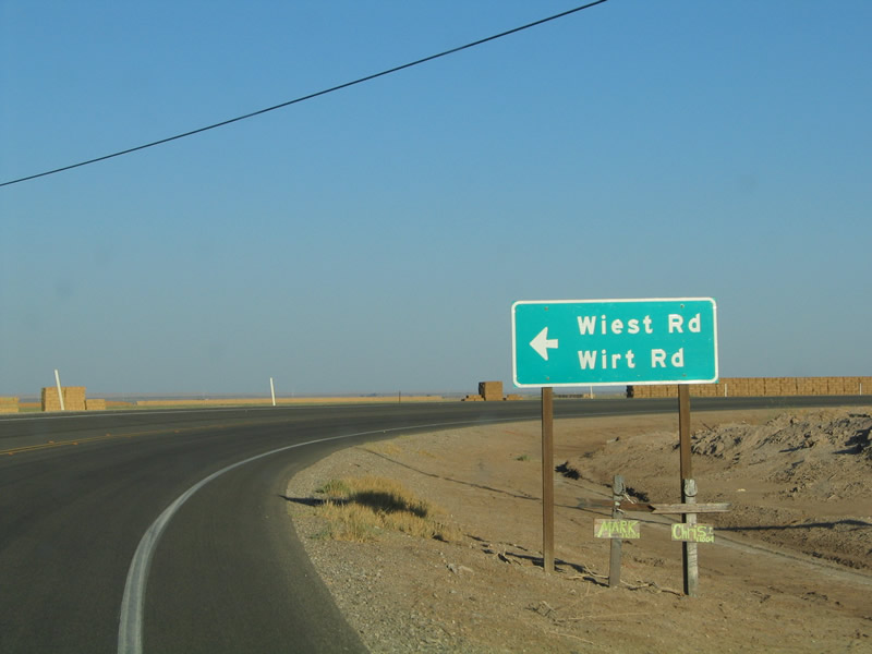
At the curve, the intersection is with Wiest Road and Wirt Road.
06/07/08
08/27/04
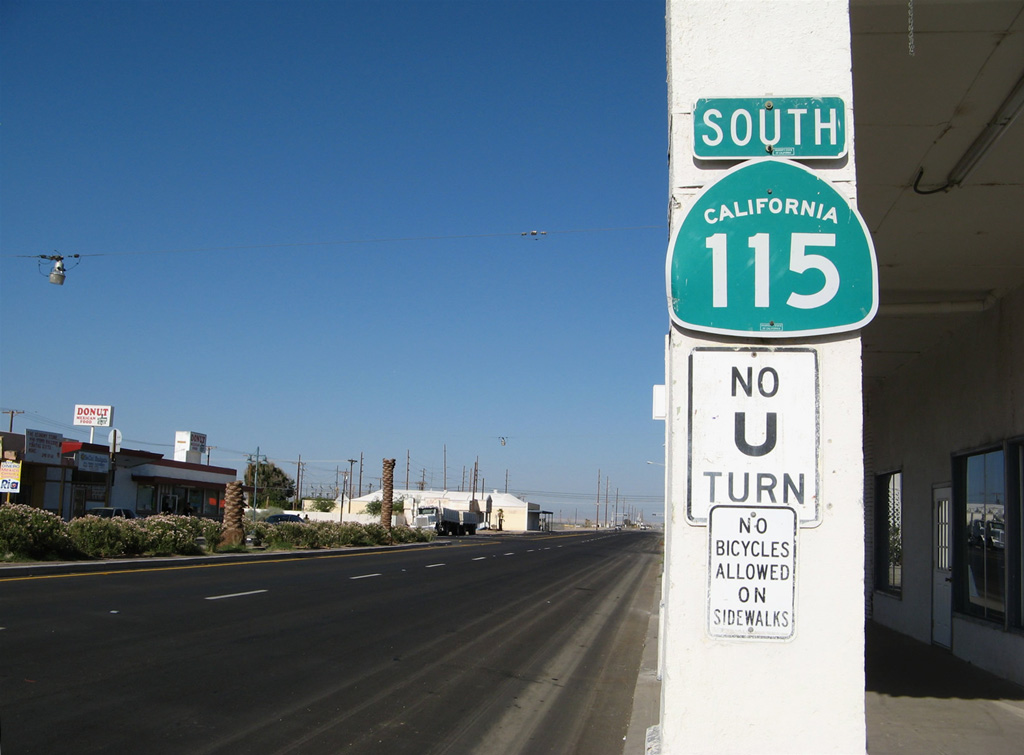
A reassurance shield for California 115 is posted after the change in directions at Wiest Road/Wirt Road.
08/27/04
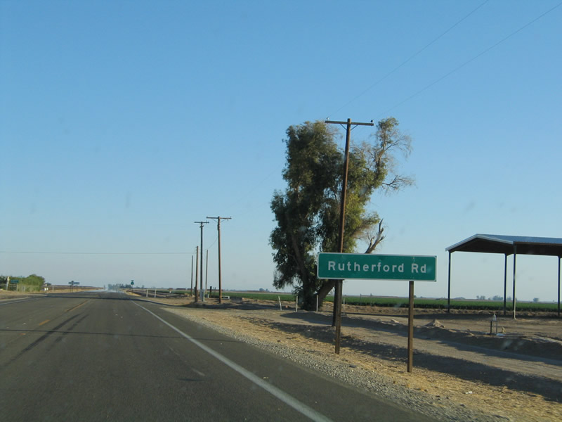
The next major intersection along southbound California 115 is with Imperial County S-26, Rutherford Road. This highway travels west to California 111 and east to Imperial County Route S-32.
08/27/04
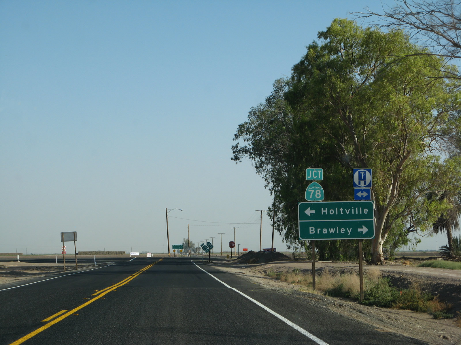
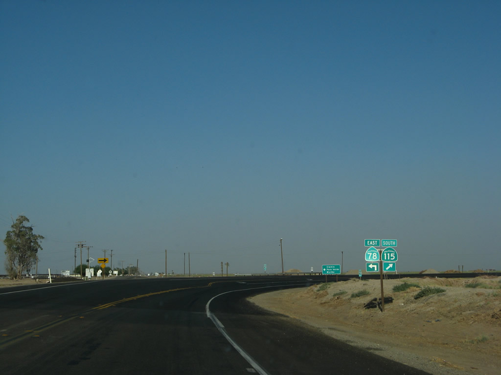
Now approaching California 78, the two state routes merge together. Turn right to follow California 78 west to Brawley; turn left to follow California 78 and California 115 southeast to Holtville and Glamis.
06/07/08
These shields reaffirm that a left turn is required to remain on California 115 south via California 78 east.
08/27/04
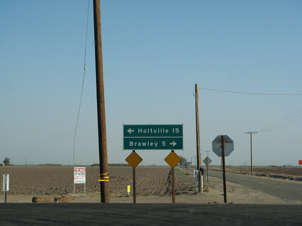
While Brawley is five miles west of here, Holtville is 15 miles southeast of here.
06/07/08
California 78 east and California 115 south overlap for a short distance, as marked by this reassurance shield east of Brawley. California 115 stays well to the east of Brawley and thus avoids any developed areas until reaching Holtville.
06/07/08
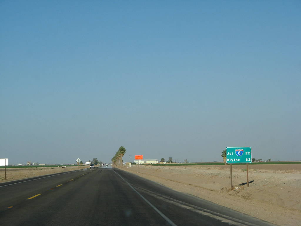
This mileage sign along California 78 east and California 115 south provides the distance to Interstate 8 (22 miles south via California 115) and Blythe (Interstate 10) (82 miles via California 78 east).
06/07/08
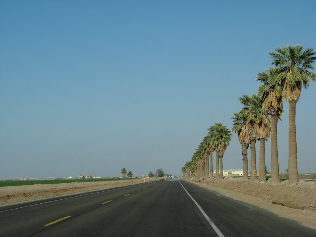
A row of palms line the south side of California 78 east and California 115 south.
06/07/08
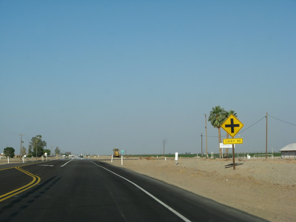
Eastbound California 78 and southbound California 115 approach their intersection with Casey Road.
06/07/08
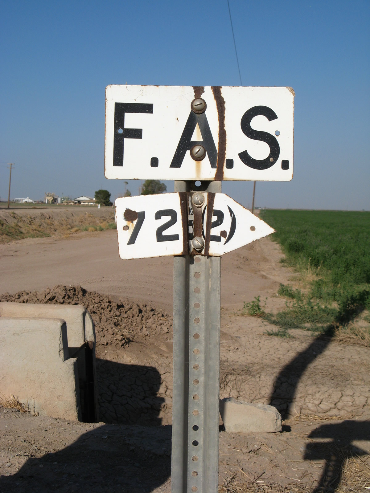
A porcelain-enamel F.A.S. (Federal Aid Secondary) marker is posted at the intersection of California 78-115 and Casey Road.
06/07/08
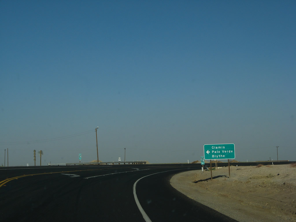
California 78 and California 115 split soon thereafter. California 78 will turn left (east) toward Glamis and Blythe. Prior its designation as a state highway, California 78 was briefly known as Imperial County S-78. Bear right here for California 115 south to Holtville.
06/07/08
A pair of trailblazers for California 78 and California 115 are posted soon thereafter.
06/07/08
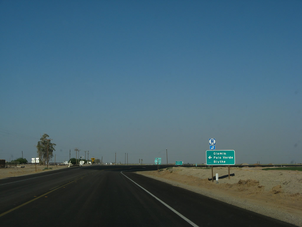
A second sign points the way to California 78 east to Glamis, Palo Verde, and Blythe.
06/07/08
California 78 departs to the left/east, while California 115 proceeds right/south to Holtville.
06/07/08
After separating from California 78, this mileage sign provides the distance to Holtville and Interstate 8.
08/27/04
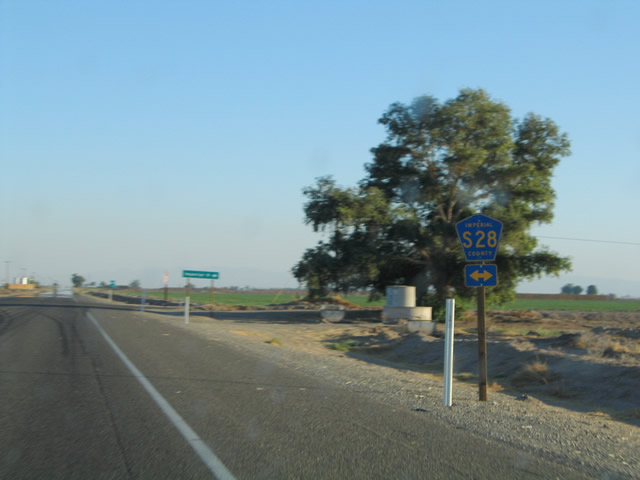
A major intersection along southbound California 115 is with Imperial County S-28, Worthington Road. Use Imperial County S-28 west to the city of Imperial.
08/27/04
This reassurance shield is posted after the Worthington Road intersection.
08/27/04
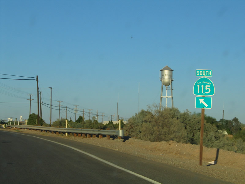
Now approaching Imperial County Route S-80 (Old U.S. 80), California 115 turns east toward Holtville.
08/27/04
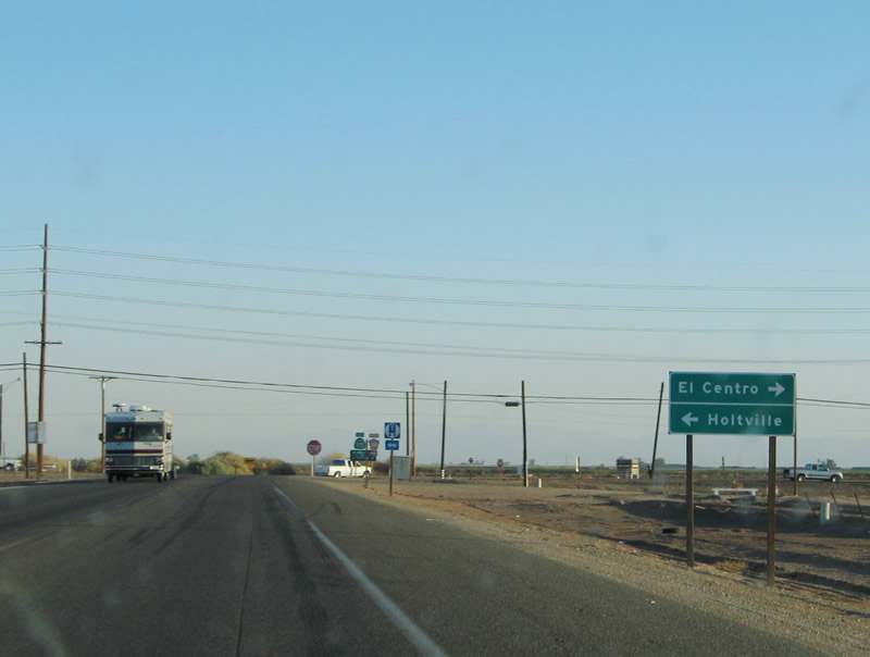
The city of El Centro lies to the east via Imperial County Route S-80 (Old U.S. 80).
08/27/04
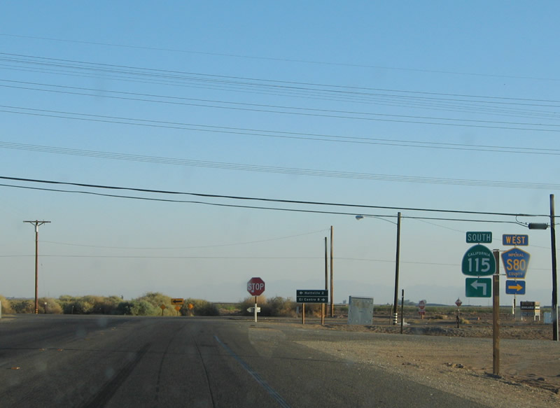
Although this intersection marks the eastern terminus of Imperial County Route S-80, California 115 turns east onto Old U.S. 80 for the route into Holtville and then onward to Interstate 8.
08/27/04
After turning east onto U.S. 80/Evan Hewes Highway, California 115 is signed as "south" even though it is traveling due east.
10/14/06
The expressway conditions seen on U.S. 80/Evan Hewes Highway between California 111 and California 115 continue briefly until California 115 approaches the outskirts of Holtville.
10/14/06
The divided highway approaches its end west of Holtville. My guess is that this divided highway was originally going to connect to an unconstructed bypass of Holtville back when Interstate 8 was to be routed on Old U.S. 80. However, when Interstate 8 was moved to its current alignment, it is likely that the U.S. 80 bypass of Holtville was killed along with the proposal to implement Interstate 8 on top of Old U.S. 80.
10/14/06
A second lane constriction sign is posted soon thereafter.
10/14/06
The merge between the two eastbound lanes is relatively easy due to the limited amount of traffic seen on this stretch of highway.
10/14/06
The continuation of California 115 south (east) is almost like a ramp leaving a highway as it goes around the median that likely was to be the foundation of a bypass route that would have taken U.S. 80 around Holtville to the south of the city. Such a bypass was never built and was no longer needed once Interstate 8 was built south of here.
10/14/06
Traffic is again two-lanes at the conclusion of the expressway section of California 115.
03/26/06
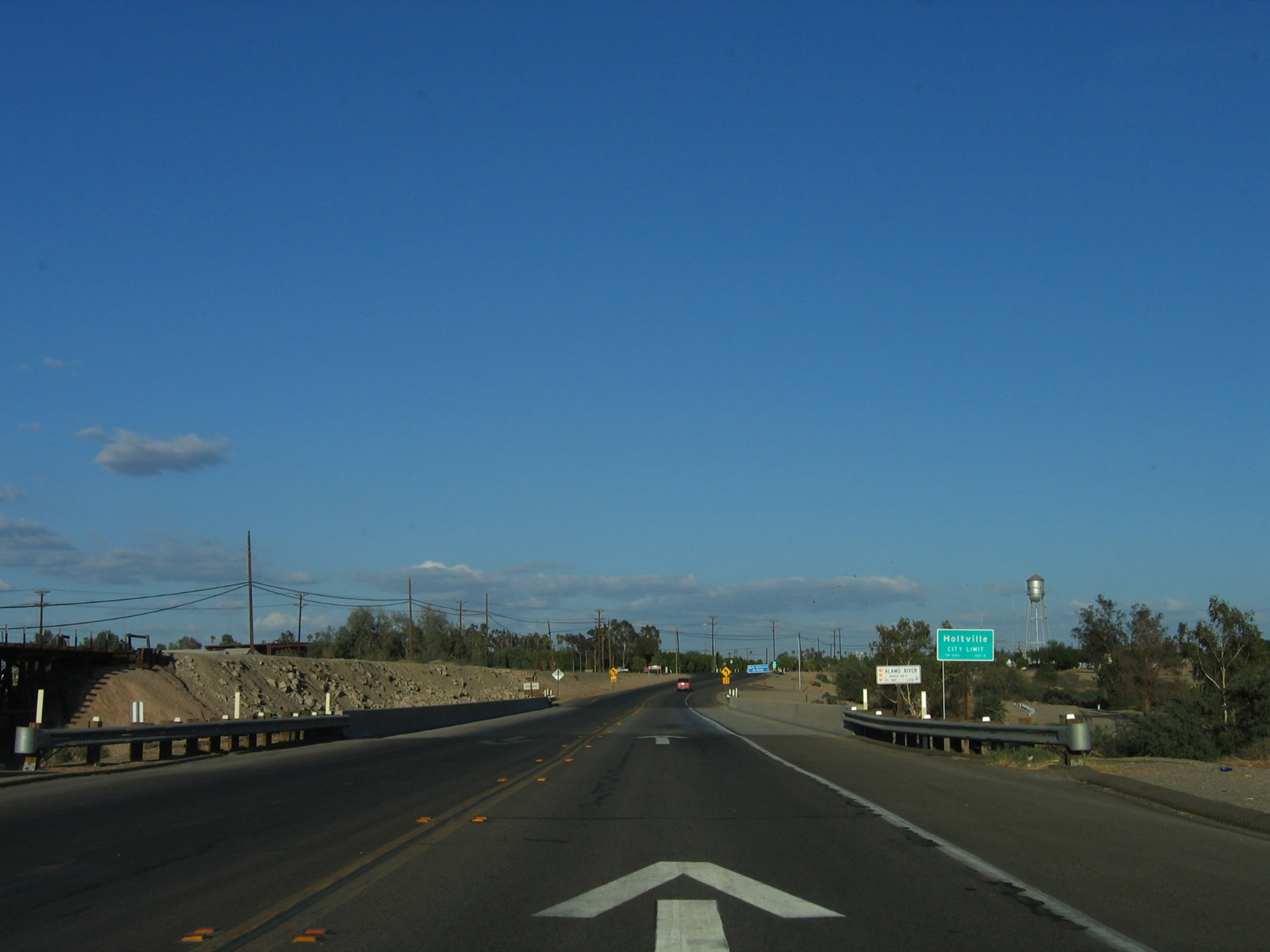
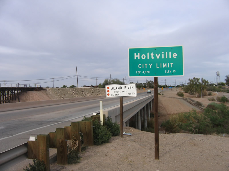
At the Alamo River crossing, California 115 and old U.S. 80 enter the city of Holtville. Incorporated in 1908, Holtville was named after its founder, W.F. Holt and is located about 16 feet below sea level, much like other Imperial Valley cities.
10/14/06
Home to about 6,000 people, Holtville sees itself on the verge of an economic upswing due to its proximity to the Interstate 8 and California 7 interchange north of the international border crossing. Photos taken 03/26/06.
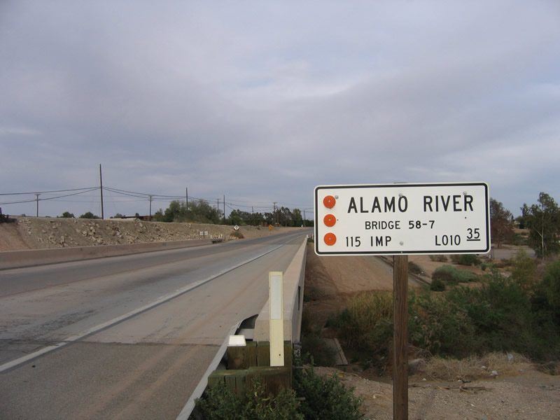
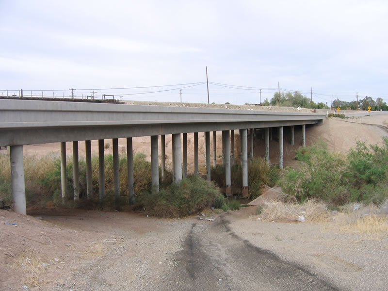
Like its companion the New River, the Alamo River flows northward from Mexico into the Salton Sea. The Alamo River also carries a significant share of pollutants as it travels north, mostly due to agricultural and urban runoff that constitutes the majority of its year-round flow. Such a year-round flow would otherwise not occur in the desert absent some other perpetual source of water. This bridge carries California 115 and U.S. 80 east over the Alamo River.
03/26/06
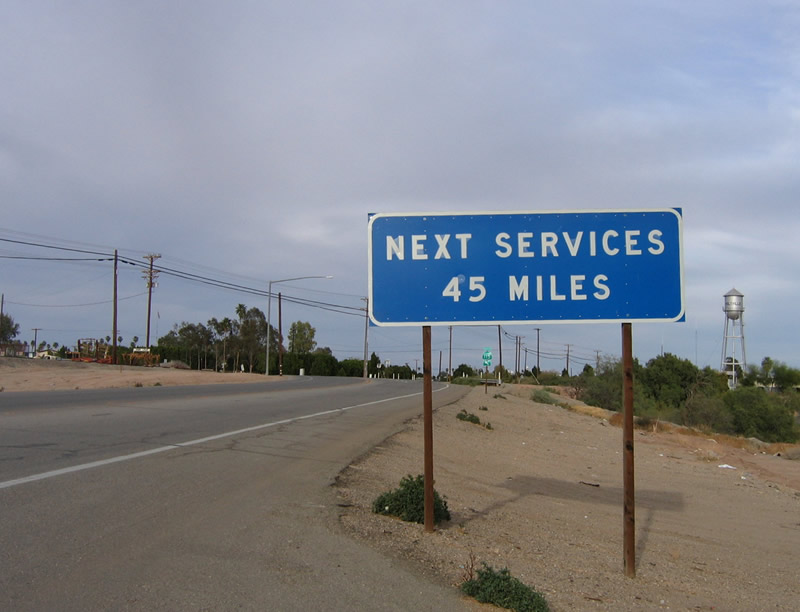
After downtown Holtville, no motorist services are available on either California 115 or Interstate 8 until Felicity, on the eastern side of the Algodones Sand Dunes. Fuel is available in Holtville, as is food and lodging.
03/26/06
Old U.S. 80 and California 115 (Evan Hewes Highway) make a turn to the north in order to enter downtown Holtville via Palm Avenue. A right turn here connects to eastbound Fourth Street.
10/14/06
08/27/04
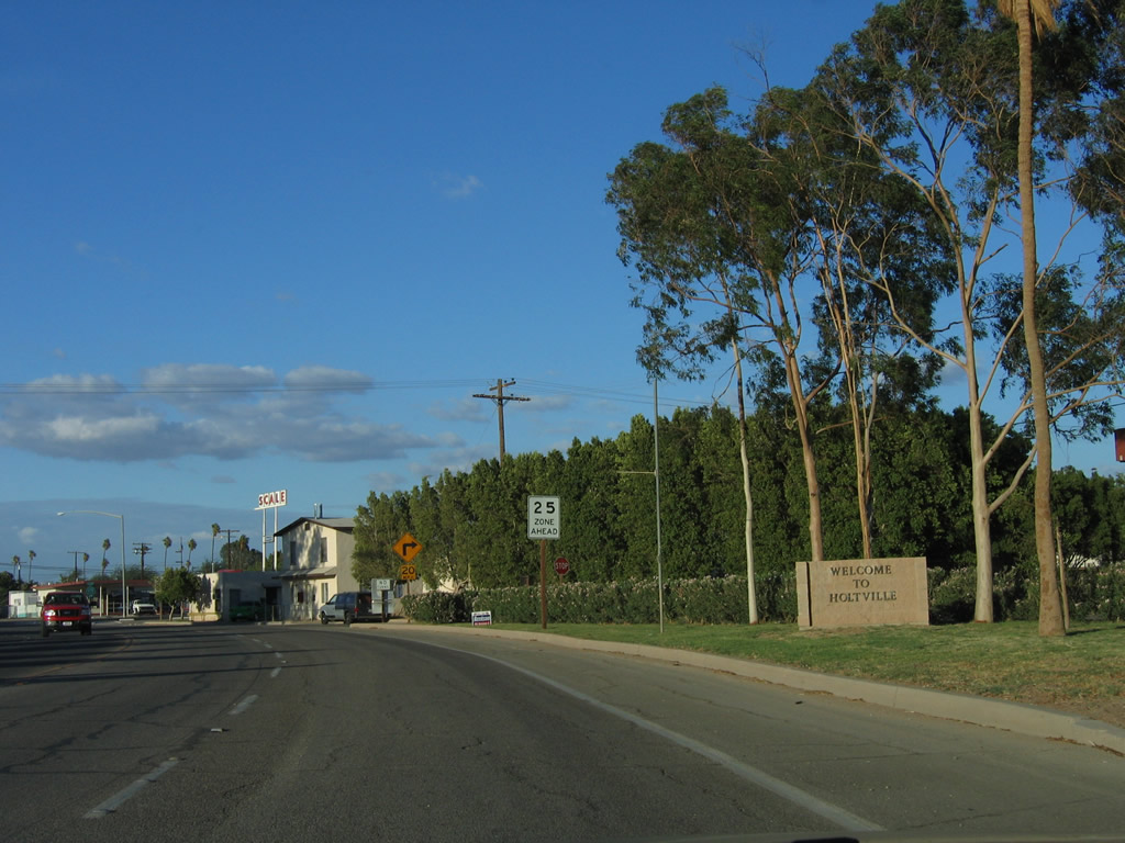
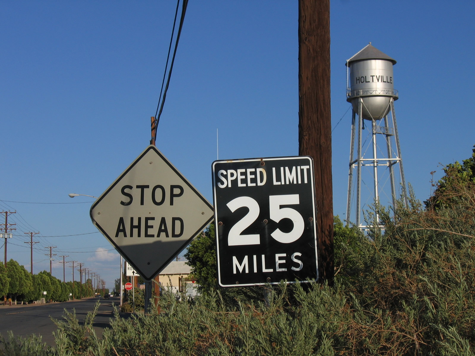
A "Welcome to Holtville" sign is posted along southbound California 115 south and Historic U.S. 80 east. As the highway briefly shifts northeast, the speed limit reduces to 25 miles per hour. This is a major change from the earlier course past rural farms and ranches at 65 miles per hour.
10/14/06
California 115 makes a right turn from Palm Avenue onto Fifth Street, the main east-west street through downtown Holtville.
10/14/06
A second California 115 trailblazer is posted at the turn from northbound Palm Avenue onto eastbound Fifth Street.
10/14/06
This reassurance shield is posted after the jog from Palm Avenue. The stop sign ahead is the pending junction with Imperial County Route S-32 (Orchard Road). Orchard Road travels south from downtown Holtville to meet Interstate 8, where it transitions directly onto California 7 expressway. California 7 in turn travels south to the Calexico East Port of Entry.
08/27/04
For a two-block stretch, California 115 south and Imperial County Route S-32 north share a wrong-way multiplex on Evan Hewes Highway (old U.S. 80). After passing Pine Avenue, Imperial County Route S-32 turns north onto Holt Road (Holt Avenue).
03/26/06
At this intersection in downtown Holtville, California 115 and Imperial County Route S-32 split. Imperial County Route S-32 turns north onto Holt Road. California 115 continues east along Old U.S. 80/Evan Hewes Highway. Turn north on CR S-32 to Holt Park. Within the park are a few interesting highway artifacts, including a replica Auto Club of Sourhern California mileage sign along with some comemmorative plaques.
03/26/06
This reassurance shield is posted after the Holt Road (Imperial County Route S-32 north) intersection.
08/27/04
A few industrial and commercial sites are located in eastern Holtville before the highway reenters the agricultural areas of the desert. The agricultural areas will dominate the highway until we reach the Highline Canal near the Intestate 8 interchange. From that area east to Winterhaven, the agricultural interests end, and the arid/unirrigated desert once again resumes.
08/27/04
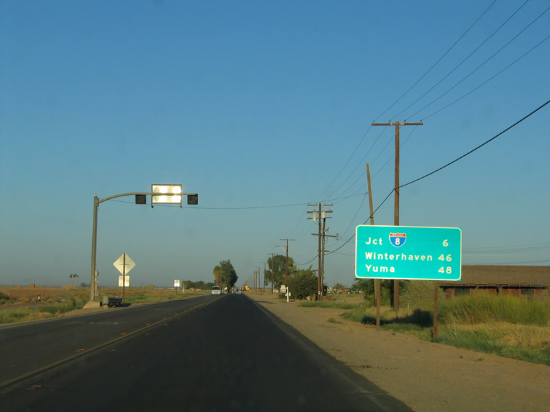
This mileage sign provides the distance to Interstate 8 (six miles), Winterhaven (46 miles), and Yuma (48 miles).
08/27/04
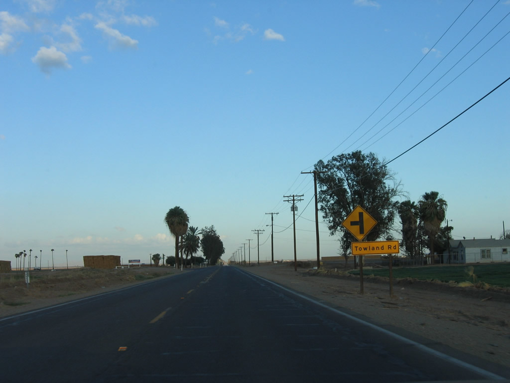
Continuing east along California 115 south and Historic U.S. 80 east, the highway again enters rural farmland east of Holtville. Here, eastbound California 115 and U.S. 80 approach Towland Road.
10/21/06
A California 115 south reassurance shield is posted soon thereafter.
10/21/06
At Snyder Road, California 115 and U.S. 80 turn southeast.
10/21/06
California 115 south and Historic U.S. 80 east proceed through more agricultural land, all irrigated thanks to water from the Colorado River.
10/21/06
Southbound California 115 and eastbound Historic U.S. 80 approach Imperial County S-33 (Miller Road). CR S-33, the easternmost north-south county-signed road in the Imperial Valley, follows Miller Road, Highline Road, and Green Road north to its end at California 78 just west of Glamis. To the south, CR S-33 follows Miller Road and Bonesteele Road to its southern terminus at California 98.
10/21/06
Imperial Irrigation District (IID) power lines cross over California 98. These lines connect to a geothermal power plant located near Holtville Hot Springs and transmit electricity back onto the IID grid. These lines are likely 92kV.
10/21/06
The IID power lines follow California 115 for a short distance, until the point where Historic U.S. 80 turns east just prior to the Interstate 8 interchange.
10/21/06
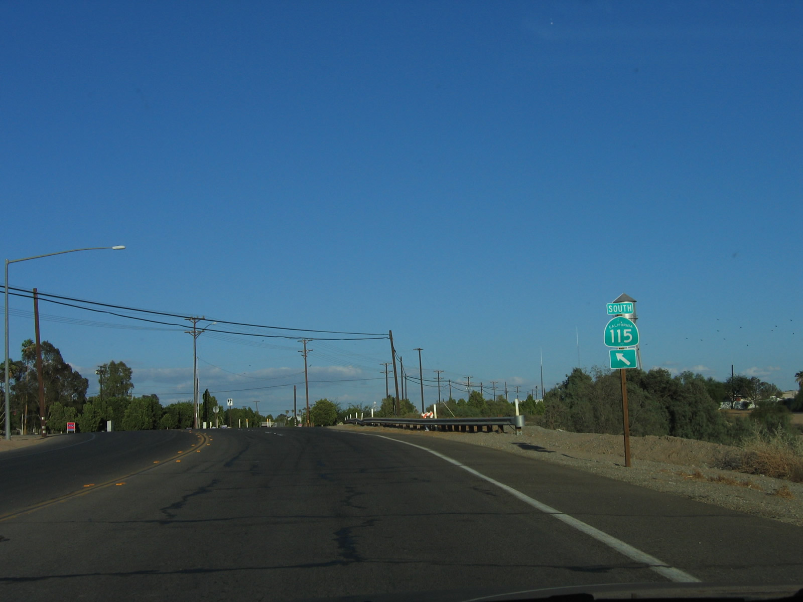
Southbound California 115 and eastbound Historic U.S. 80 separate at this intersection. Turn left for Historic U.S. 80 (Evan Hewes Highway) east to Holtville Hot Springs. Proceed south on California 115 to Interstate 8 east to Yuma or west to El Centro and San Diego. The following right turn connects to Interstate 8 west to El Centro, and the second left turn connects to Interstate 8 east to Yuma.
10/21/06
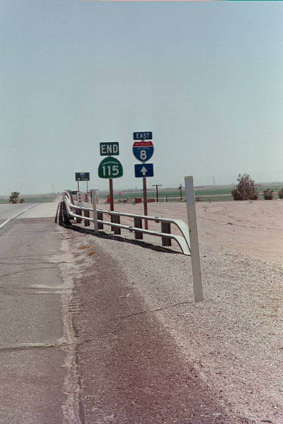
An end California 115 shield assembly is posted on the bridge that carries California 115 over Interstate 8. The next left turn connects to Interstate 8 east to Algodones (Imperial) Sand Dunes, Winterhaven, and Yuma.
08/08/99
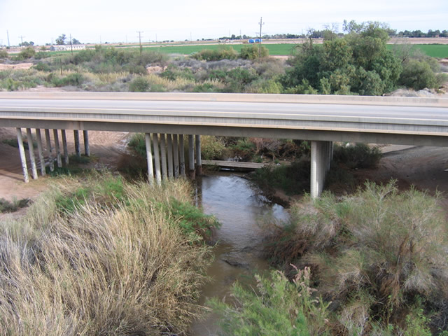
From the south side of California 115 is this view of the Alamo River bridge in western Holtville.
03/26/06
This view of the Alamo River Bridge is looking south from the defunct Interurban Railway bridge.
03/26/06
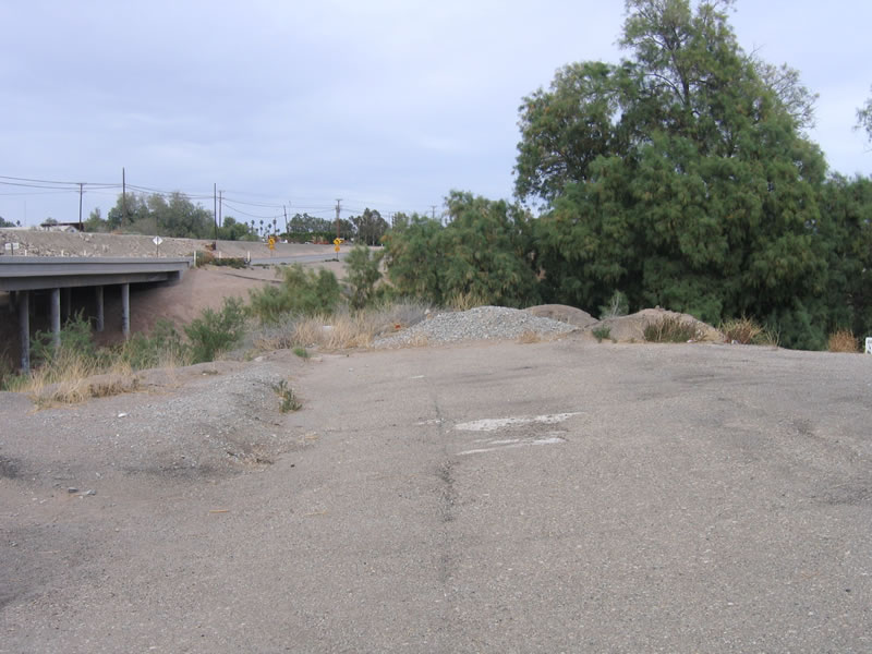
A remnant of old U.S. 80 is found on the south side of the Alamo River bridge. This twin-slab concrete section, which was covered in asphalt, used to bend to a different bridge over the river. That older bridge is gone, having been replaced by the current California 115 Alamo River Bridge.
03/26/06
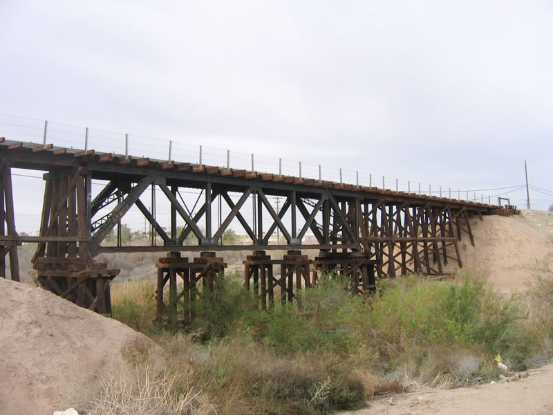
The Interurban Railway, which used to connect Holtville with El Centro, has many relics left along its route even though the railroad is not in use today. This picture shows the bridge (looking south and east) that the railroad uses to cross the Alamo River adjacent to California 115 (Old U.S. 80) in western Holtville.
03/26/06
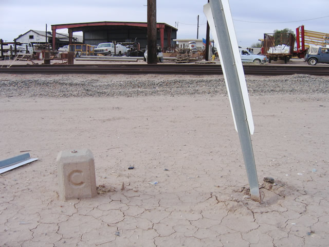
Between the defunct Interurban Railway tracks on the north side of California 115 (U.S. 80) and the highway sits this C Block, on the east side of the Alamo River Valley in Holtville.
03/26/06
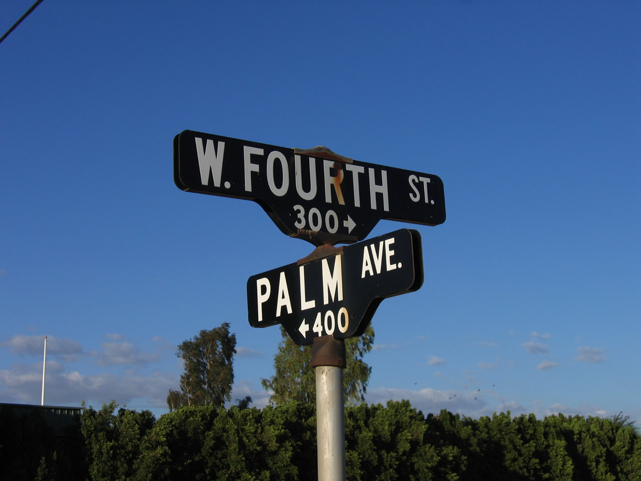
These porcelain enamel street blade signs are posted at the intersection of Fourth Street and California 115/Palm Avenue in southwestern Holtville.
10/14/06
This old, porcelain enamel speed limit sign (white on black) is fairly old, but there are no date stamps on the back of the sign to confirm its age. This sign is located on Fourth Street in Holtville, less than a block after Fourth Street splits from California 115.
10/14/06
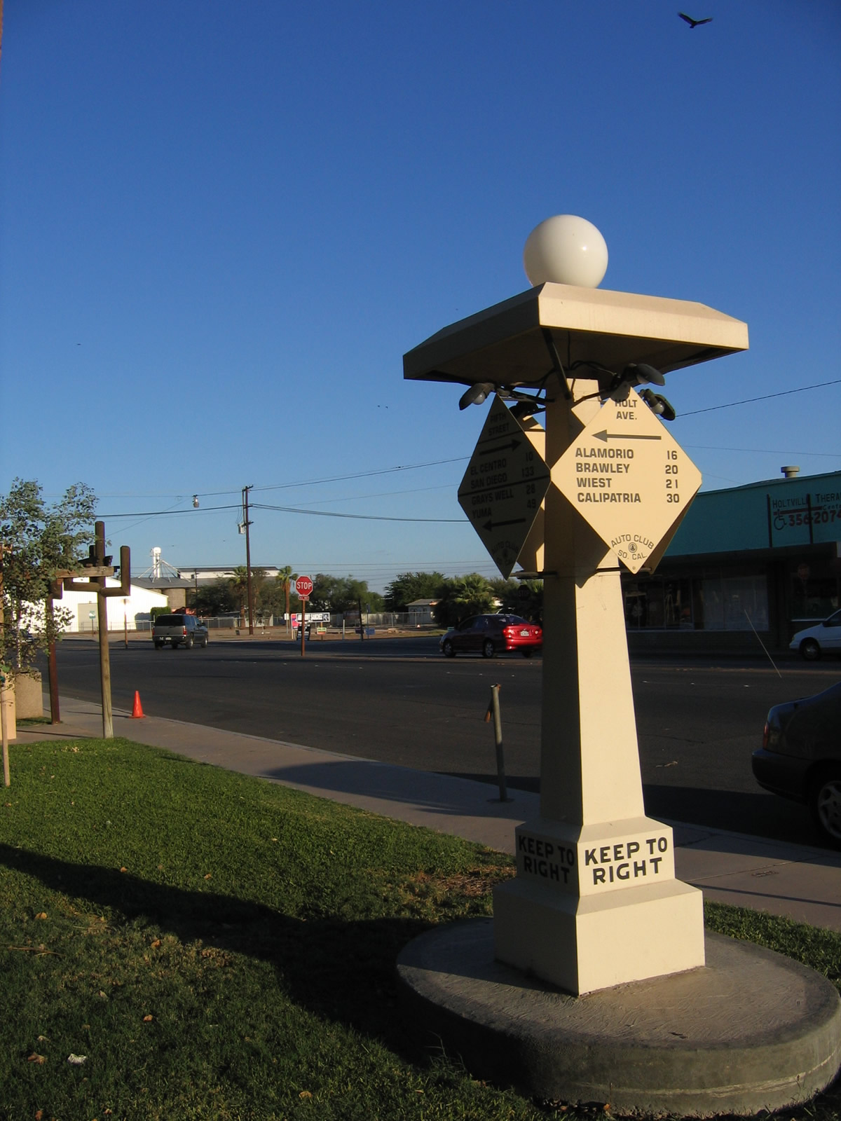
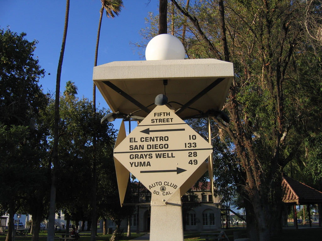
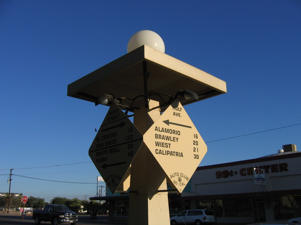
Holt Park, located in downtown Holtville, is situated on the north side of Fifth Street (California 115 and Historic U.S. 80). At the south end of the park is a replica Automobile Club of Southern California (ACSC) mileage marker with four faces mounted on a pillar.
10/14/06
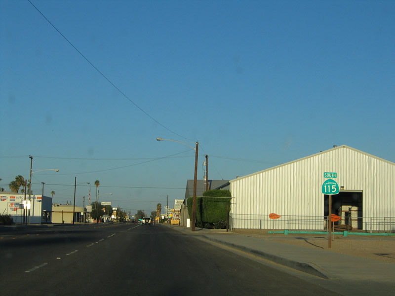
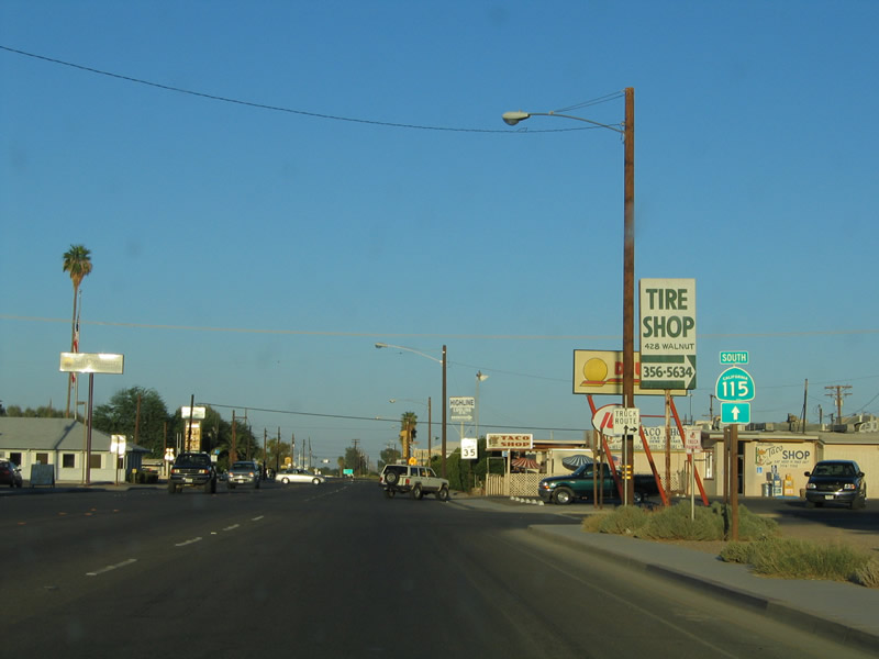
Northbound Walnut Avenue meets California 115 and Historic U.S. 80 (Fifth Street) in downtown Holtville. Turn left here for California 115 north and U.S. 80 west to El Centro or right for California 115 and U.S. 80 east to Interstate 8 and Yuma.
10/14/06
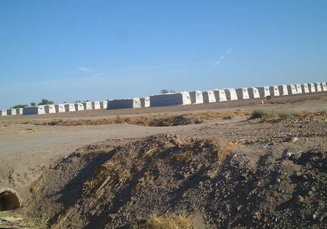
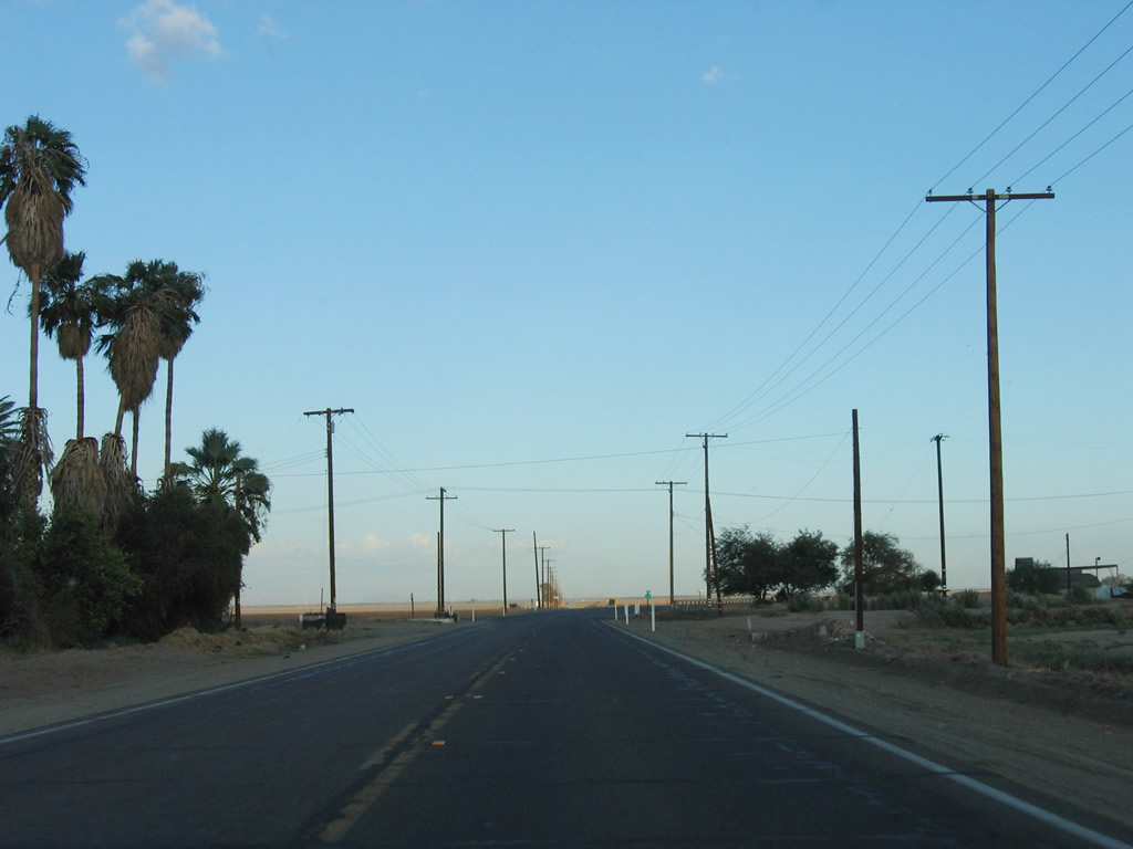
One common feature along the highways of Imperial County are the omnipresent hay bales. However, this picture shows another baled product of the Imperial Valley: wool. These white bales do not hold hay; they are compressed piles of wool sheared from herds of valley sheep seen along California 115. These wool bales are located along northbound California 115 just after the at Eddins Road/Wirt Road/West Road intersection just east of Calipatria.
10/05/02
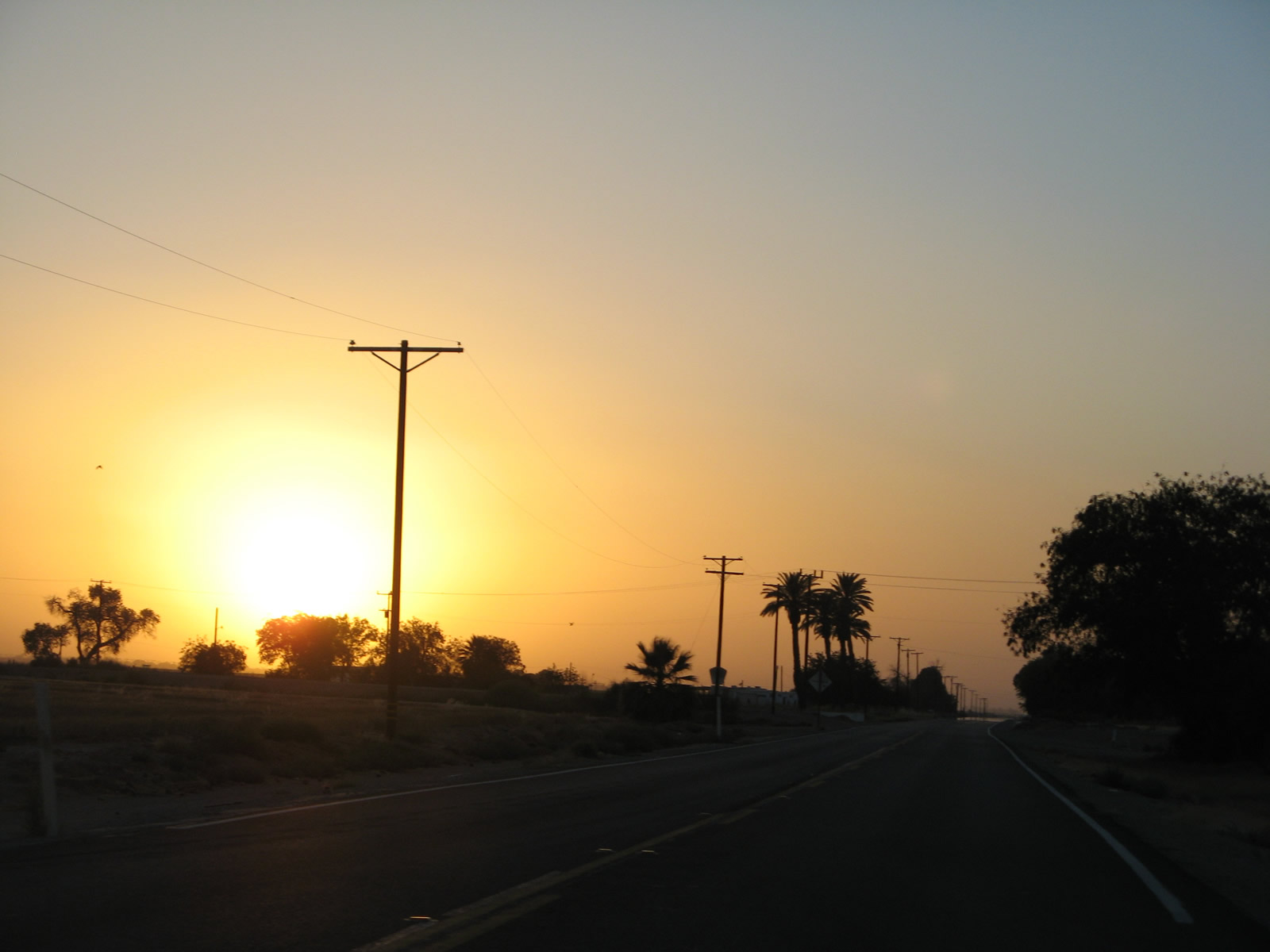
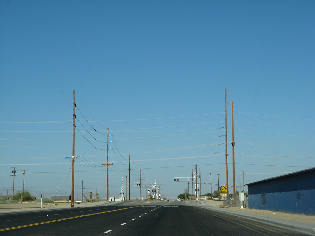
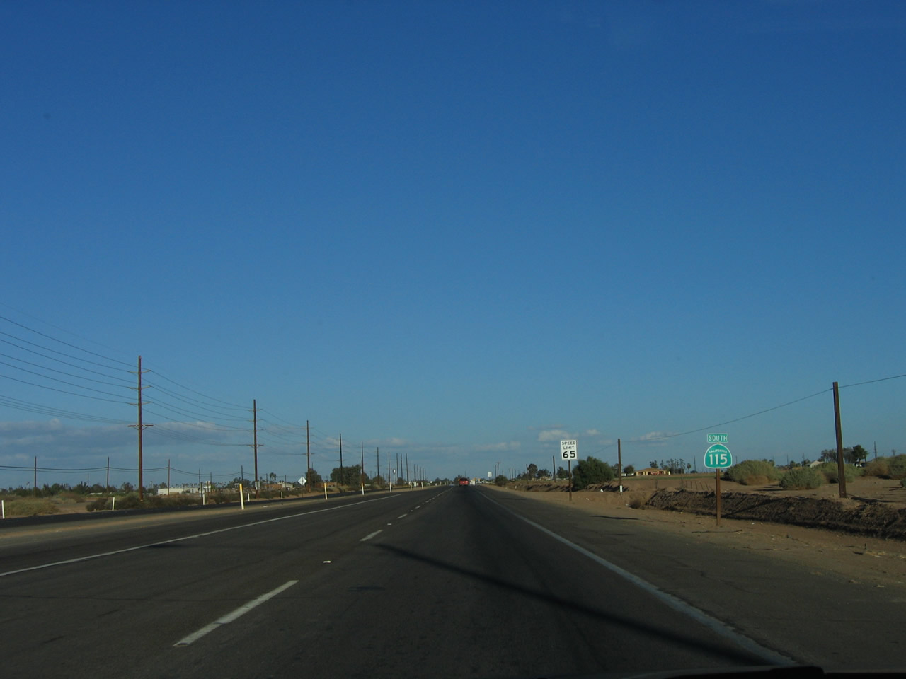
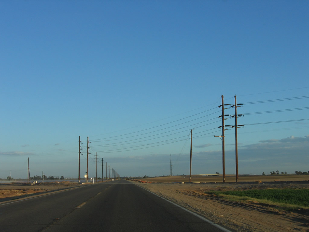
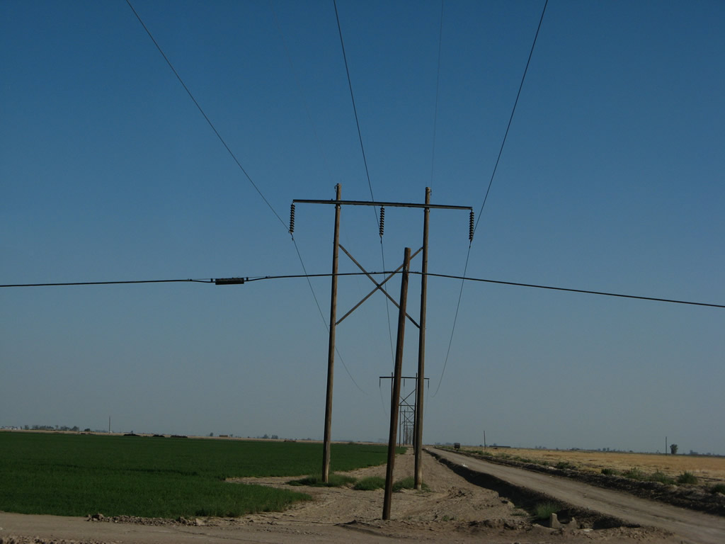
This confluence of power lines is visible from California 115 near its southern terminus.
06/07/08
Photo Credits:
- Andy Field: 08/08/99, August 1999, November 2000, 10/05/02, 08/27/04, 03/26/06, 10/14/06, 10/21/06, 06/07/08
Connect with:
Page Updated Wednesday March 06, 2013.