
State Route 128 East - Boonville to Cloverldale
Leaving the community of Boonville, eastbound California 128 intersects California 253 east to Ukiah.
07/05/13
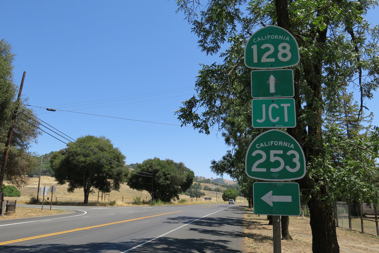
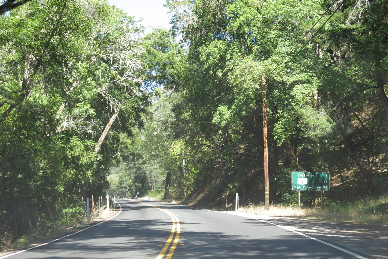
SR 253 travels 17.18 miles east to U.S. 101 on the southern outskirts of Ukiah. SR 128 proceeds 27 miles southeast to Cloverdale.
07/05/13
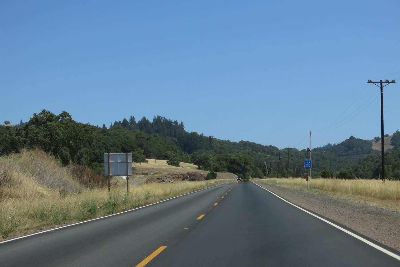
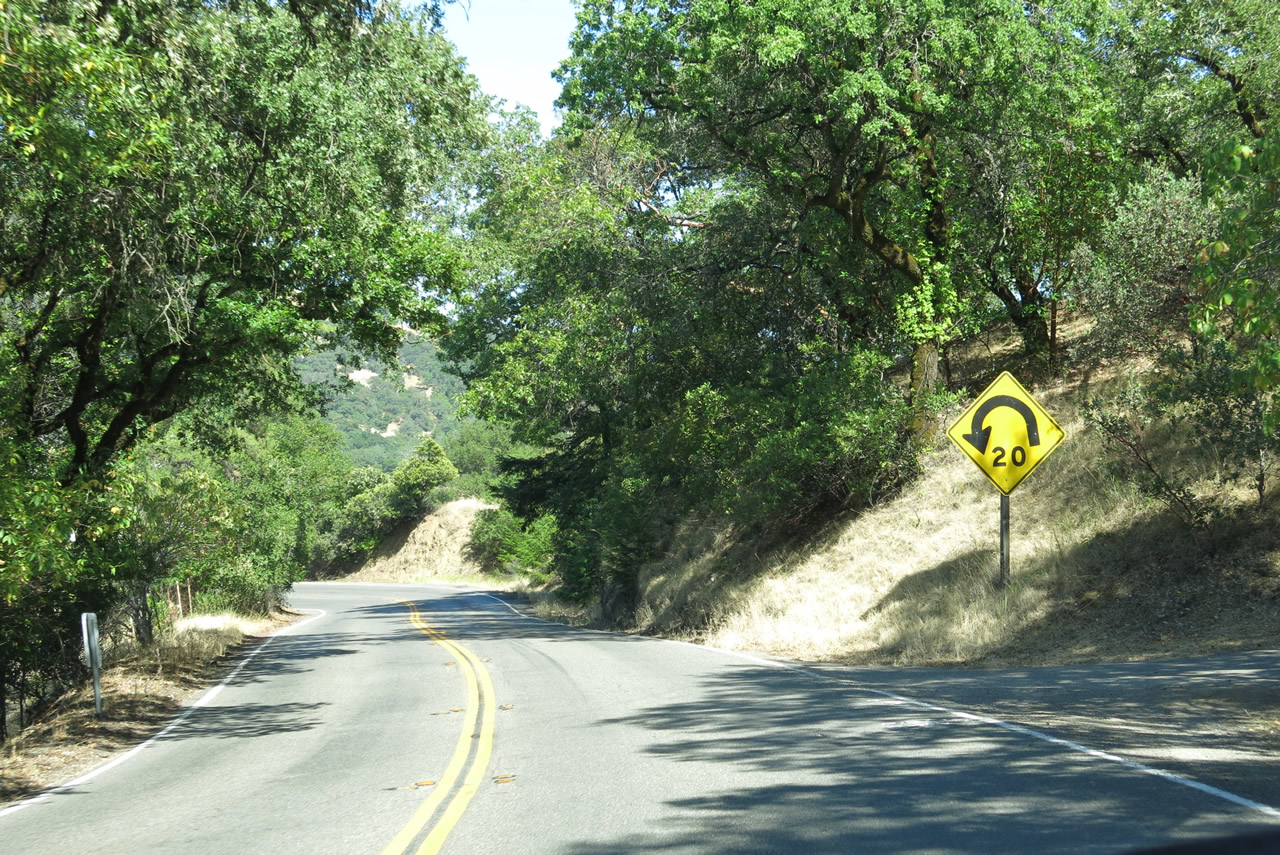
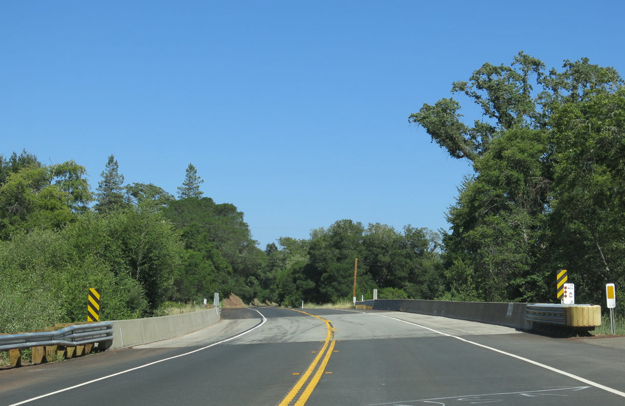
No confirming marker for SR 128 east is posted south of SR 253.
07/05/13
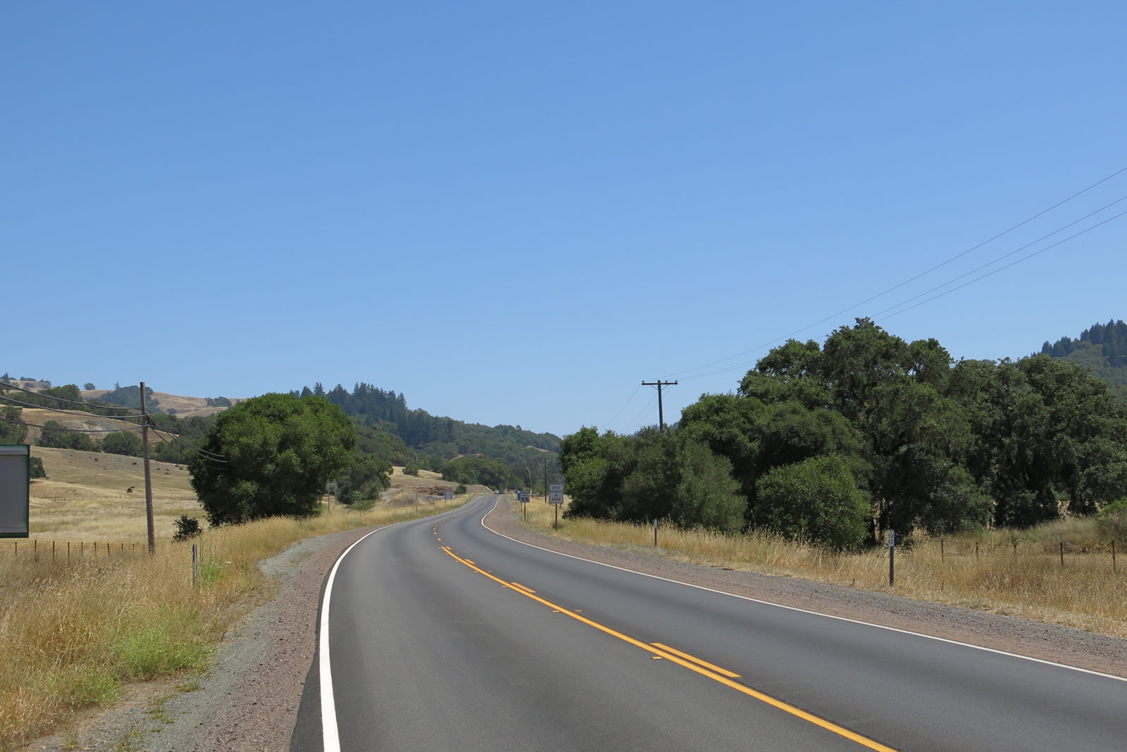
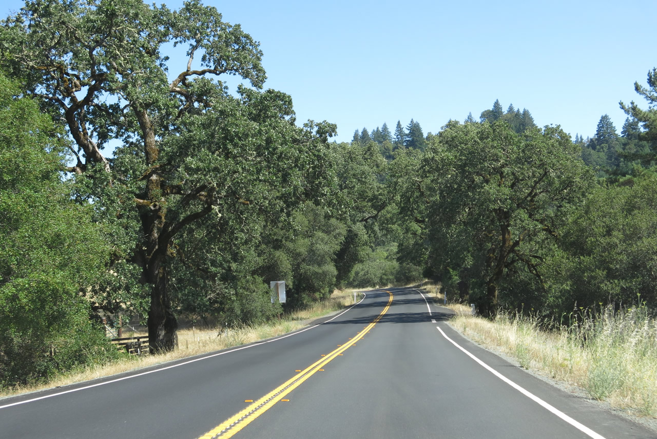
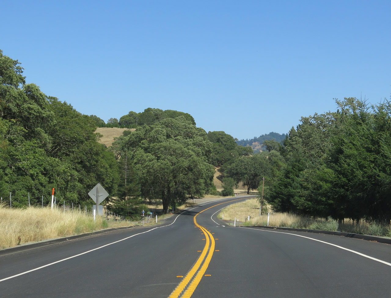
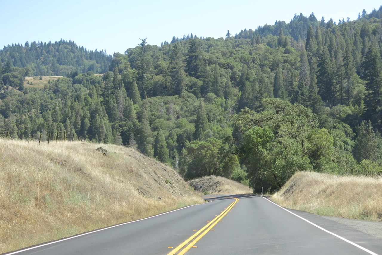
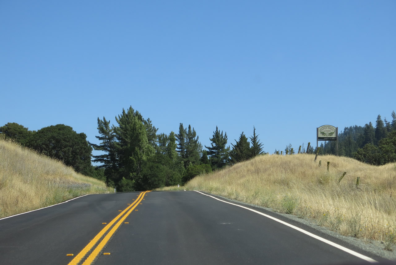
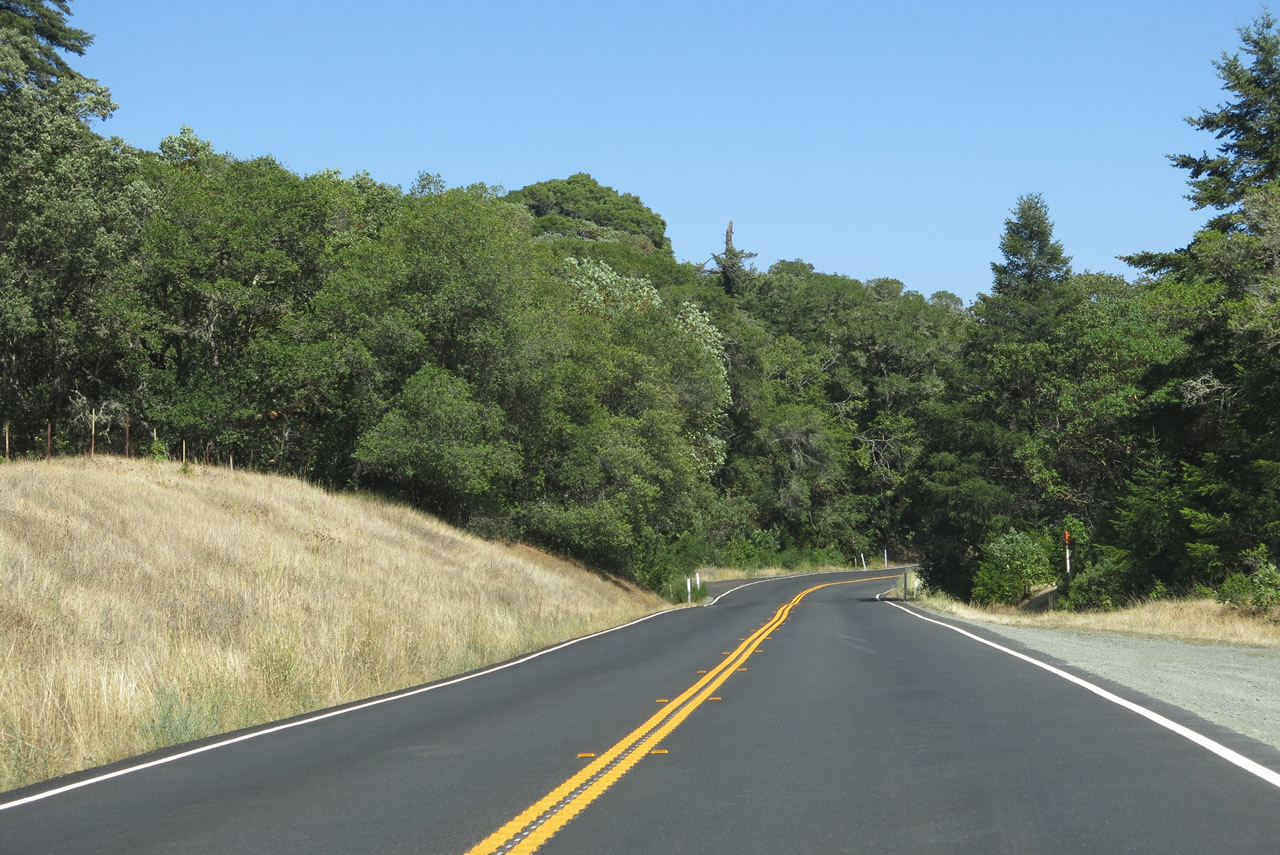
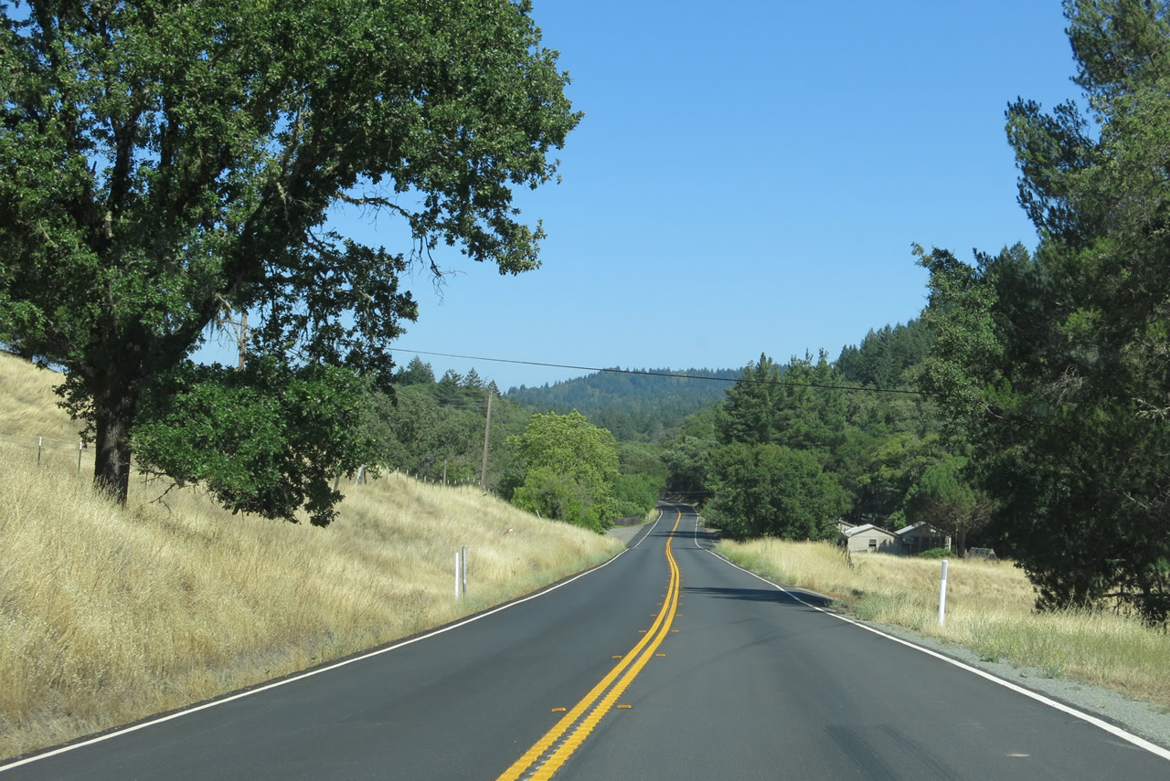
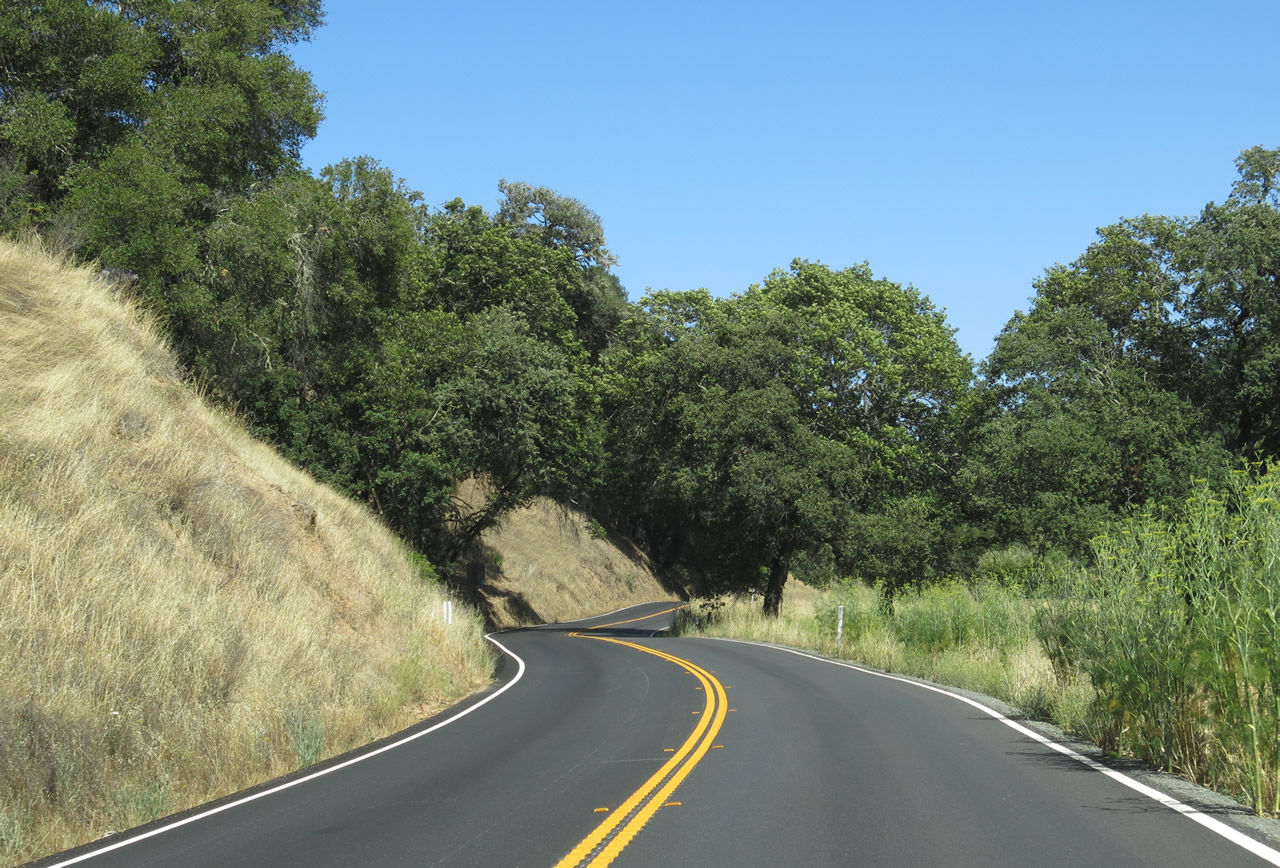
SR 128 proceeds southward from SR 253 through southern reaches of pastoral Anderson Valley to Robinson Creek.
07/05/13
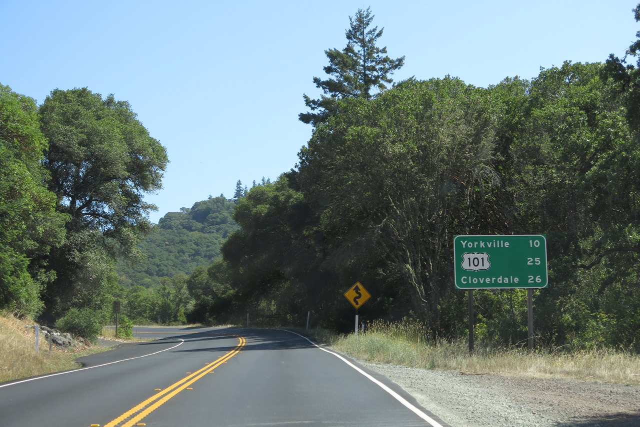
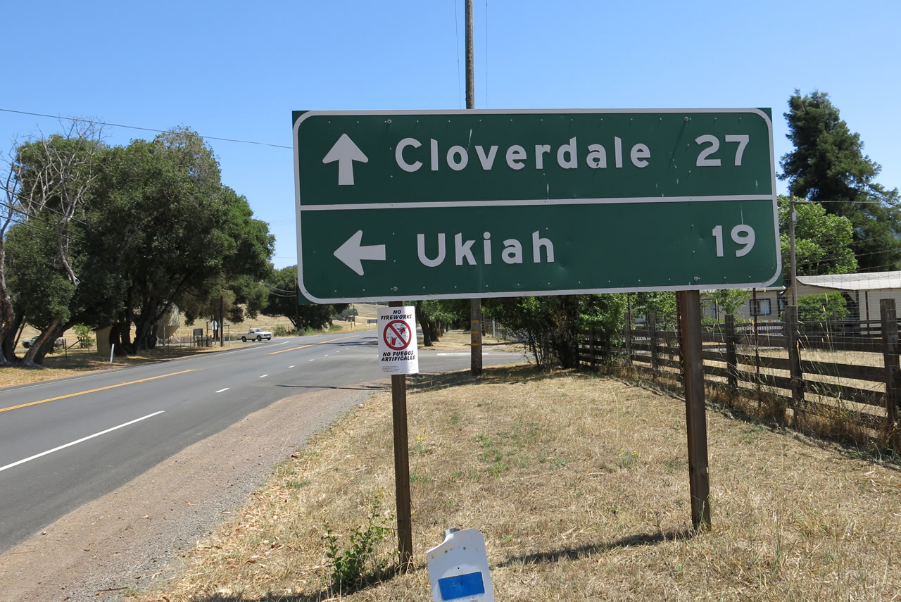
A distance sign for Yorkville, the interchange with U.S. 101 and Cloverdale follows Robinson Creek along SR 128 eastbound.
07/05/13
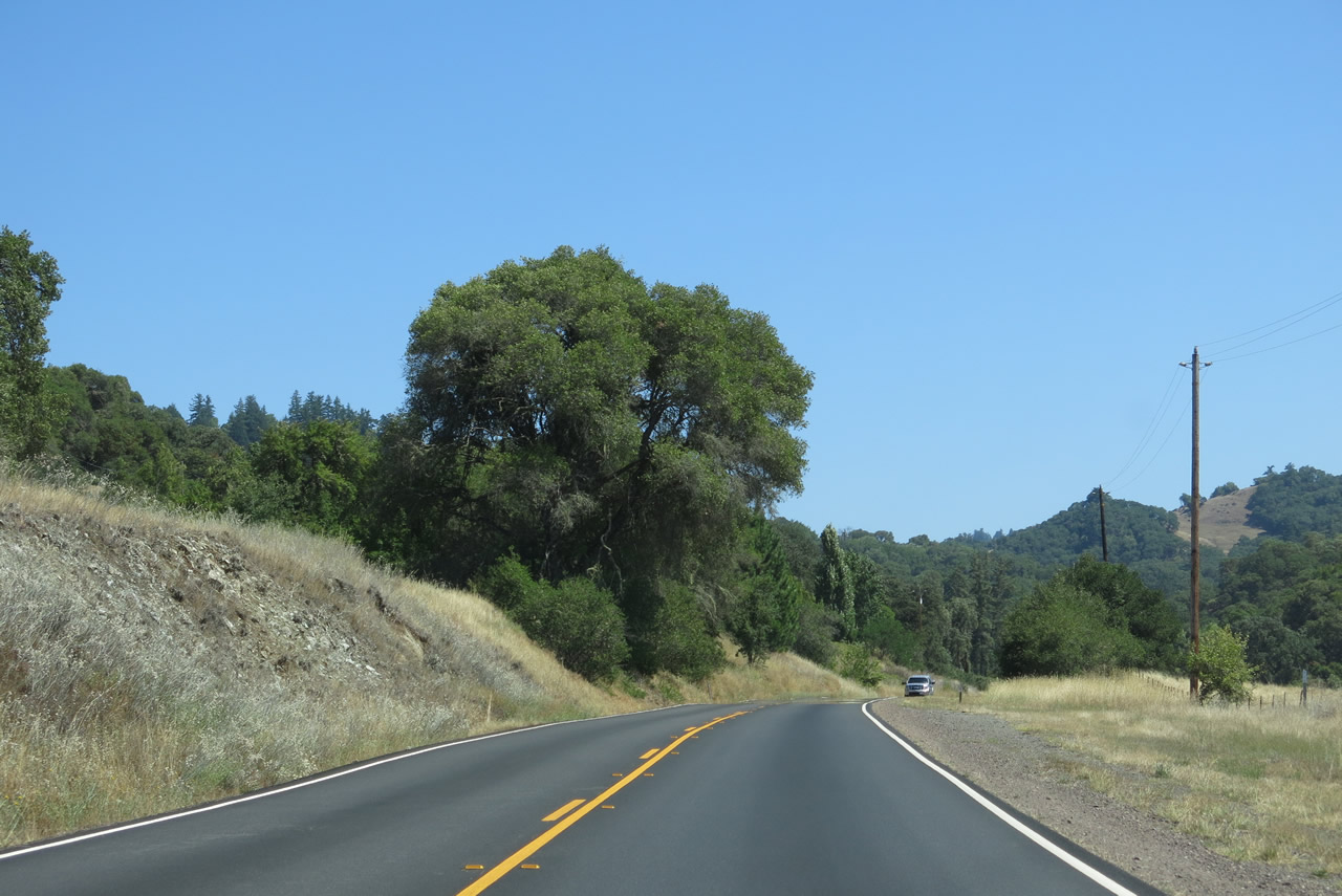
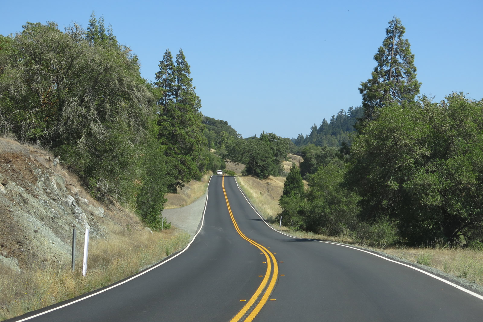
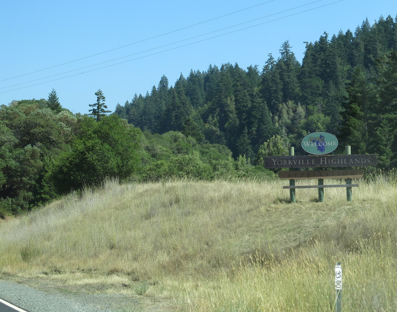
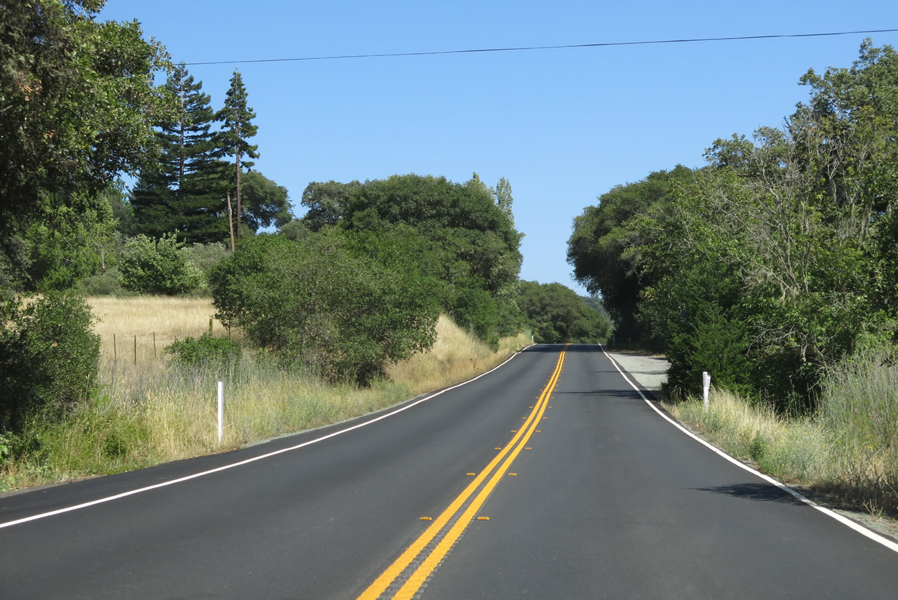
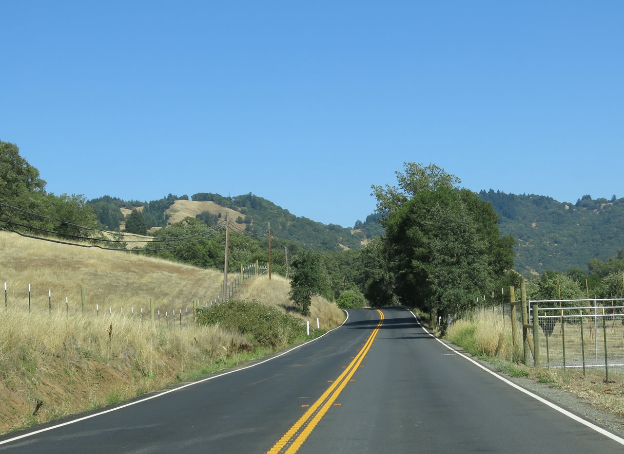
Paralleling Rancheria Creek, SR 128 meanders southeast past Hawk Butte to Yorkville Highlands.
07/05/13
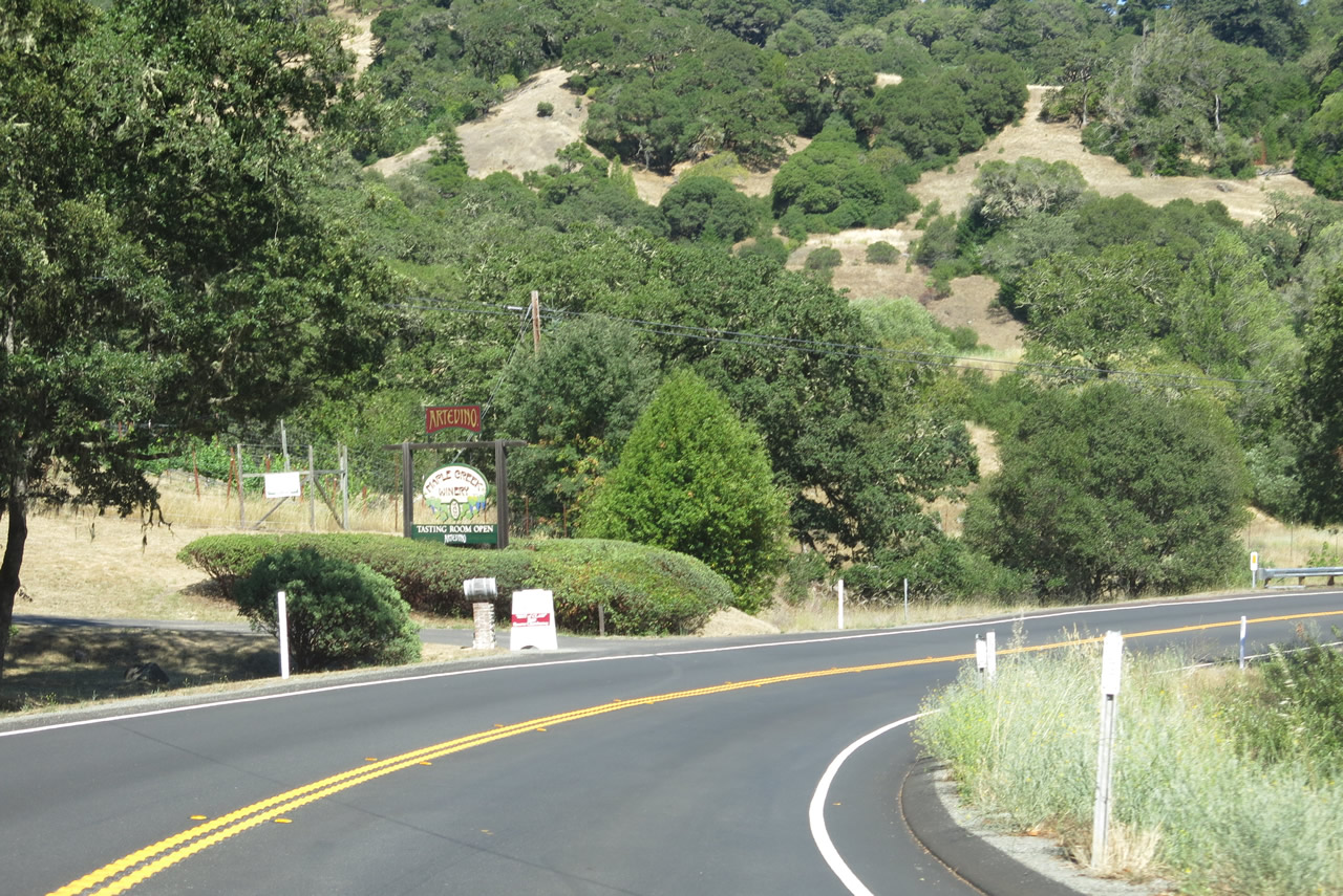
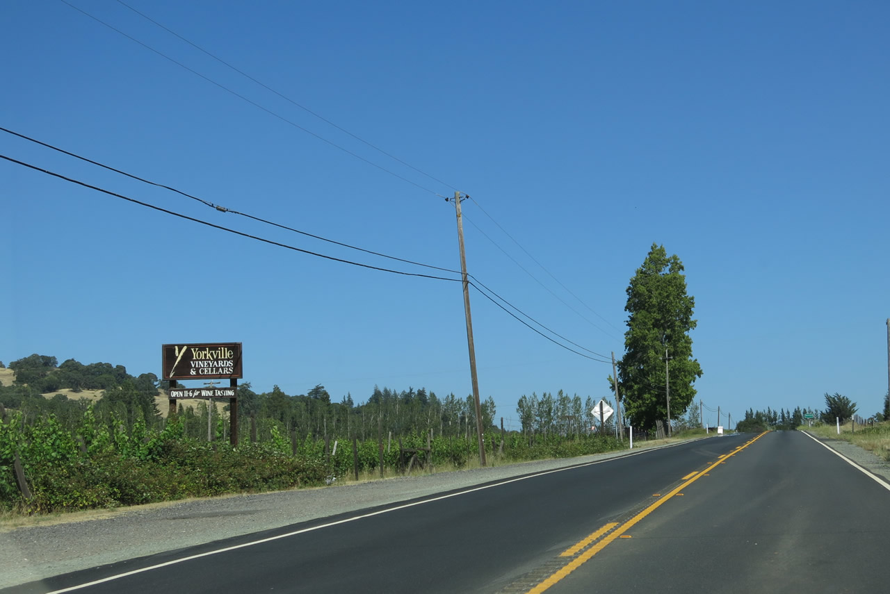
Yorkville Highlands is a special growing region for grapes, as compared to Anderson Valley to the northwest (from Boonville northwest toward the redwood forests and coast) and Alexander Valley to the southeast between Cloverdale and Healdsburg on the U.S. 101 corridor.
07/05/13
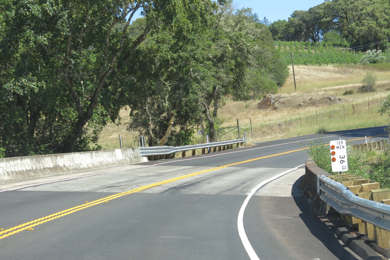
SR 128 crosses Maple Creek at postmile 36.15.
07/05/13
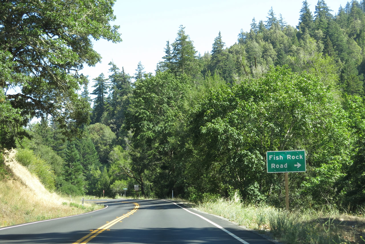
Fish Rok Road ascends southwest from SR 128 to Ornbaun Valley and Mailliard Redwoods State Natural Reserve.
07/05/13
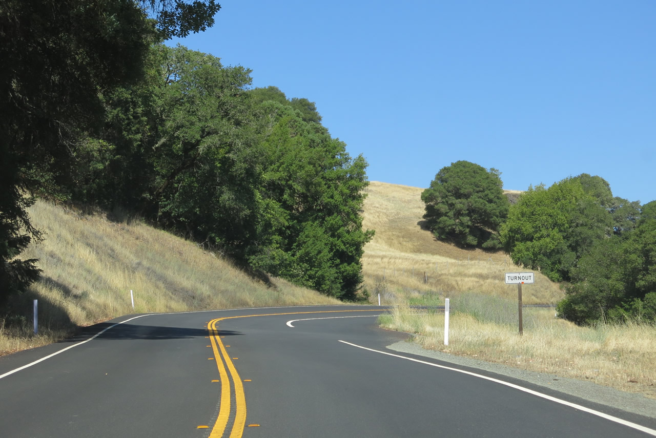
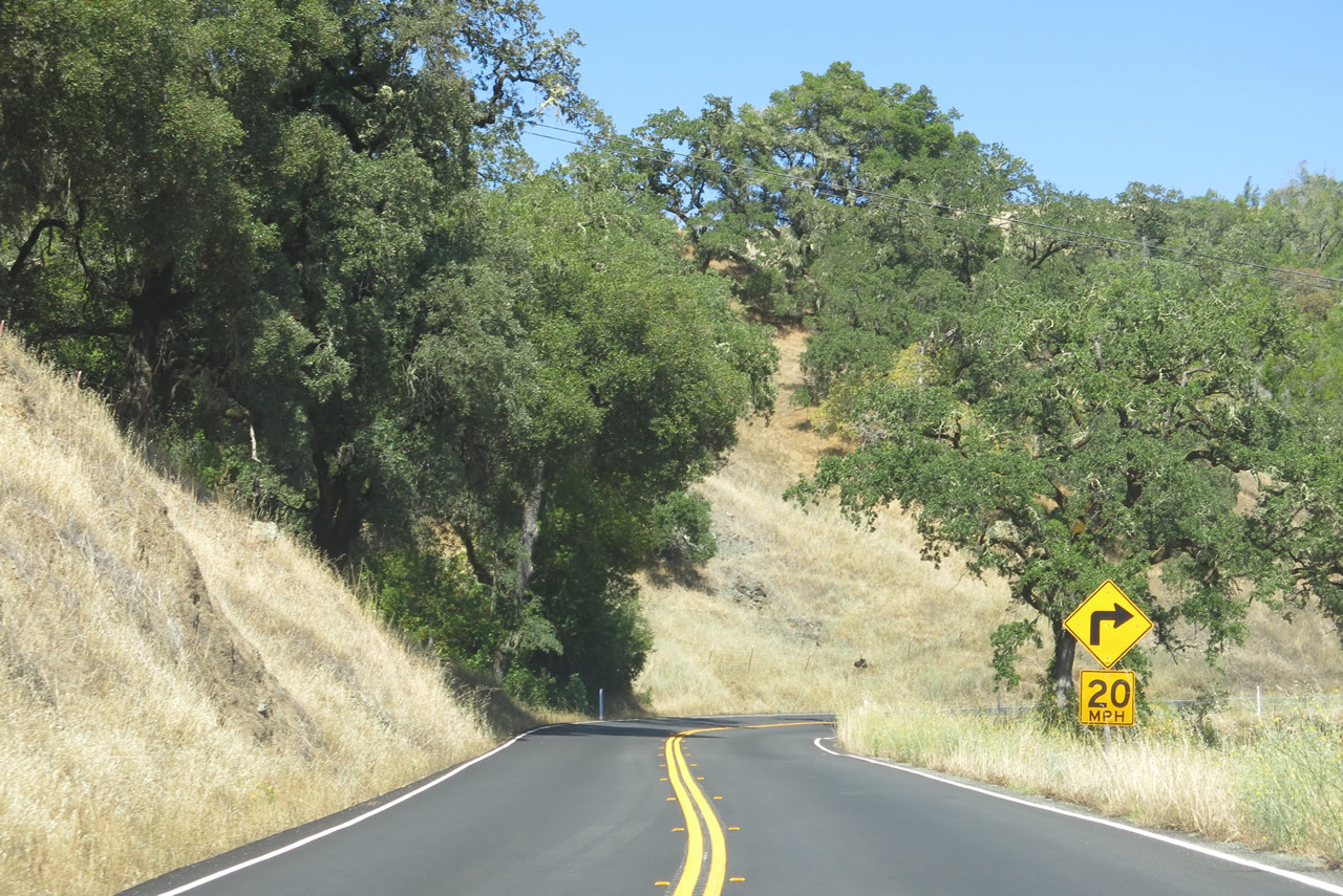
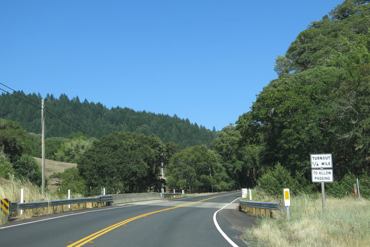
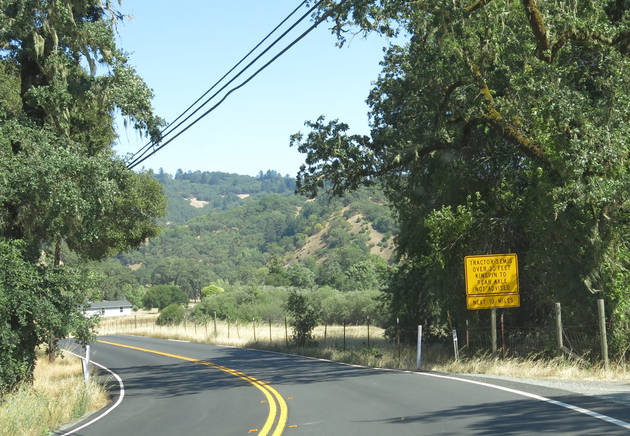
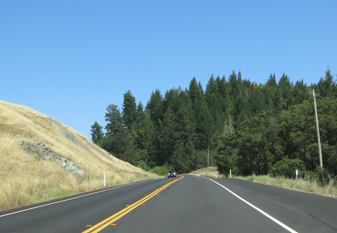
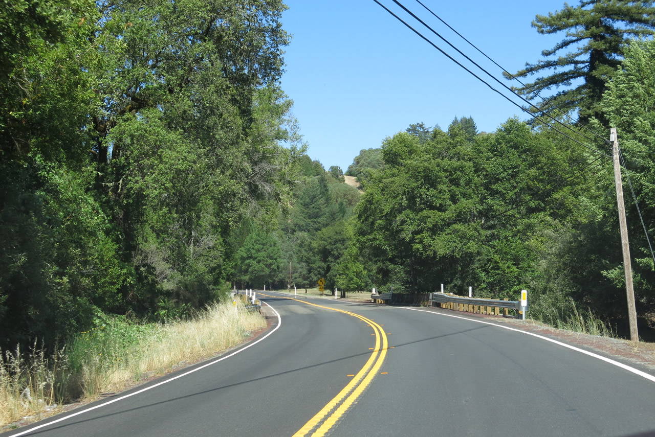
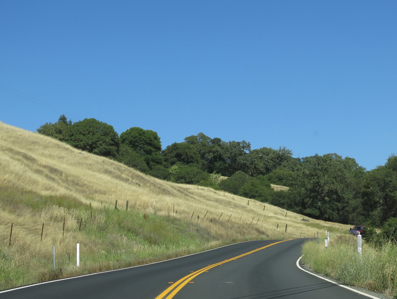
Turnouts are posted along the route to allow slower traffic to pull off the highway and allow faster traffic to pass.
07/05/13
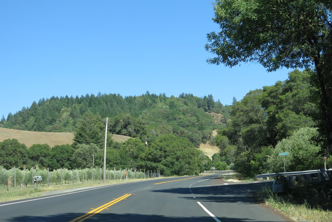
SR 128 east at Hibbard Road.
07/05/13
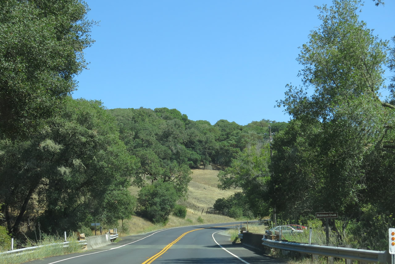
Beebe Creek flows west into parallel Rancheria Creek beyond the bridge along SR 128 at post mile 38.80.
07/05/13
Yorkville is two miles to the east of Beebe Creek along State Route 128.
07/05/13
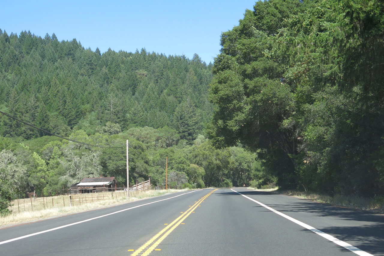
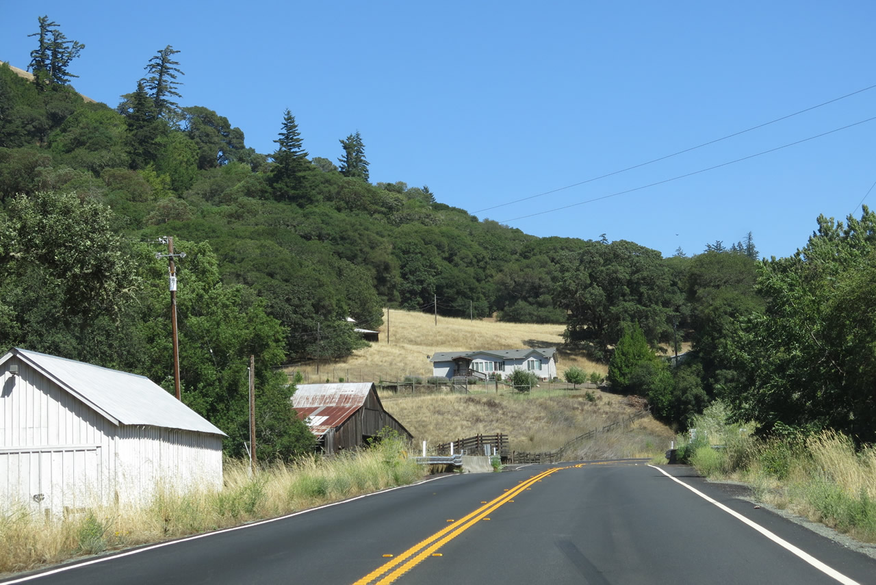
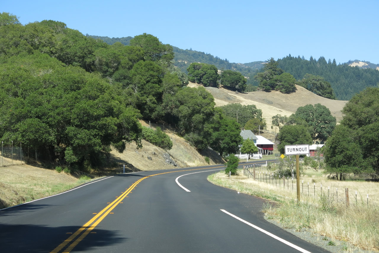
Timberland spreads along the hillside to the south of SR 128 while a mix of oak trees, pastureland and a vineyard line the north side of the highway leading to Yorkville.
07/05/13
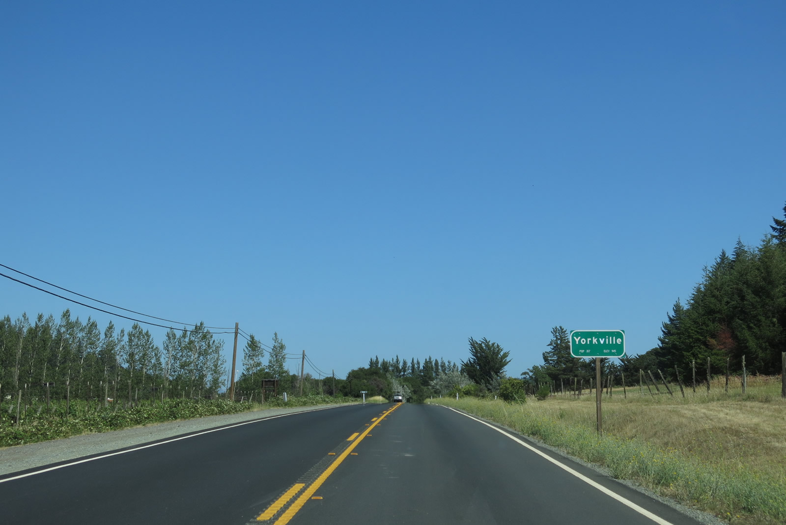
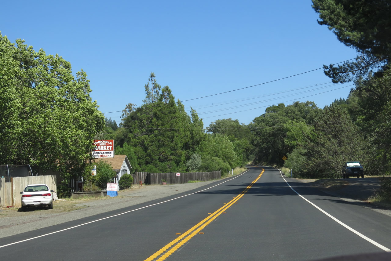
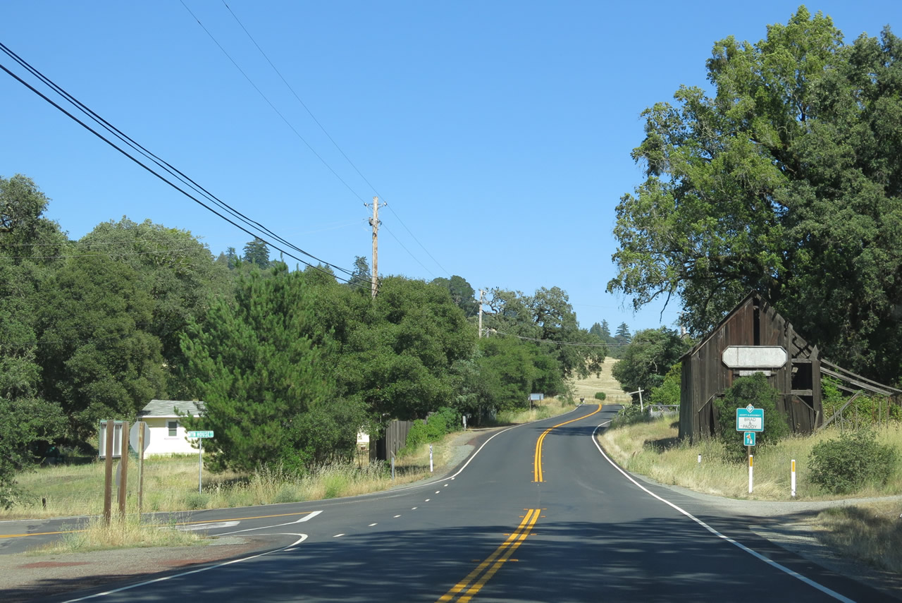
State Route 128 east and enters the unincorporated community of Yorkville around post mile 40.50. Photostaken 07/05/13.
A small amount of residences and businesses populate the community of Yorkville along SR 128. Photostaken 07/05/13.
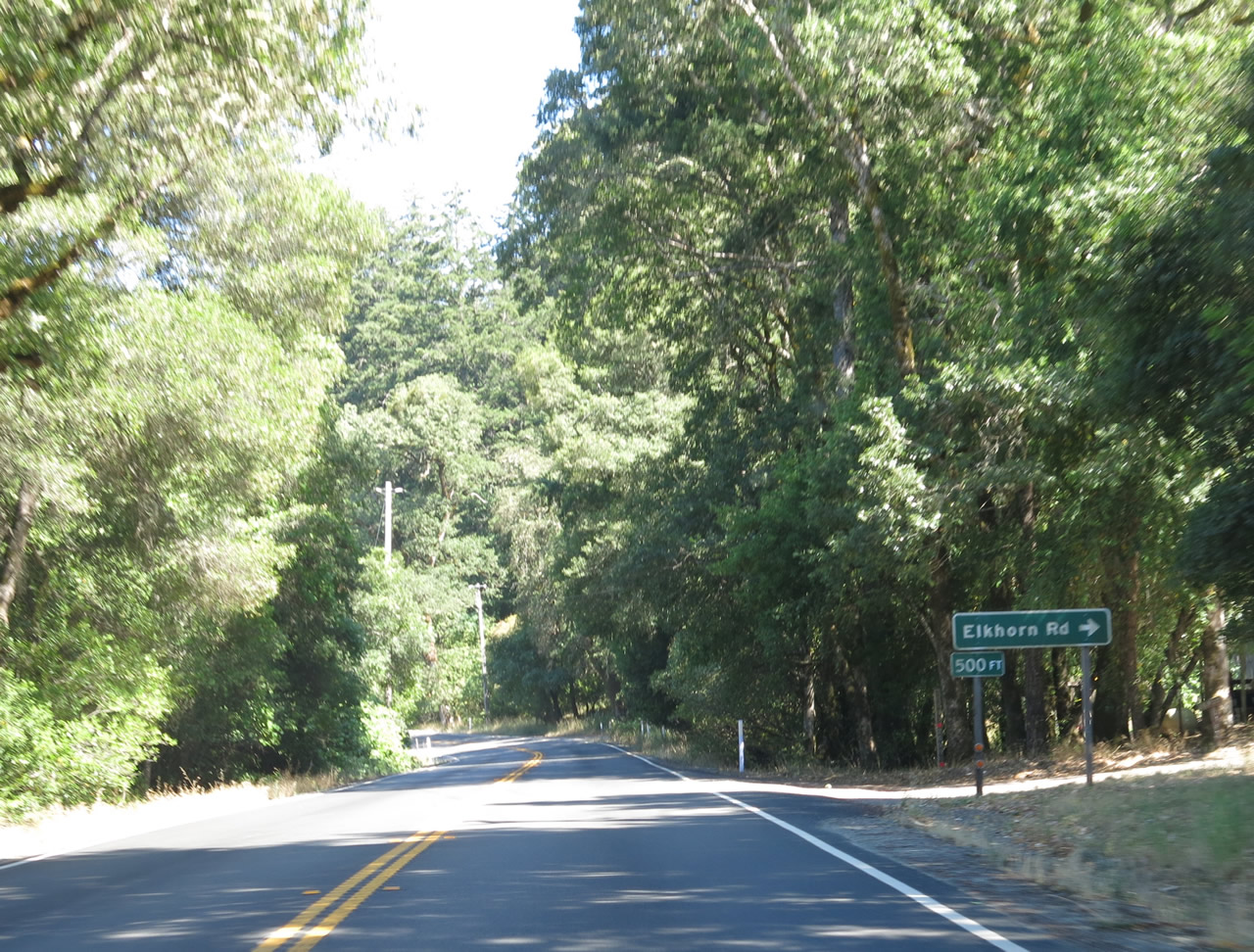
Elkhorn Road stems south from SR 128 to homesteads in the adjacent hills.
07/05/13
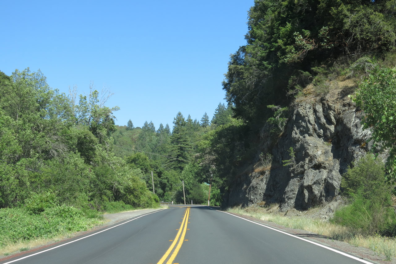
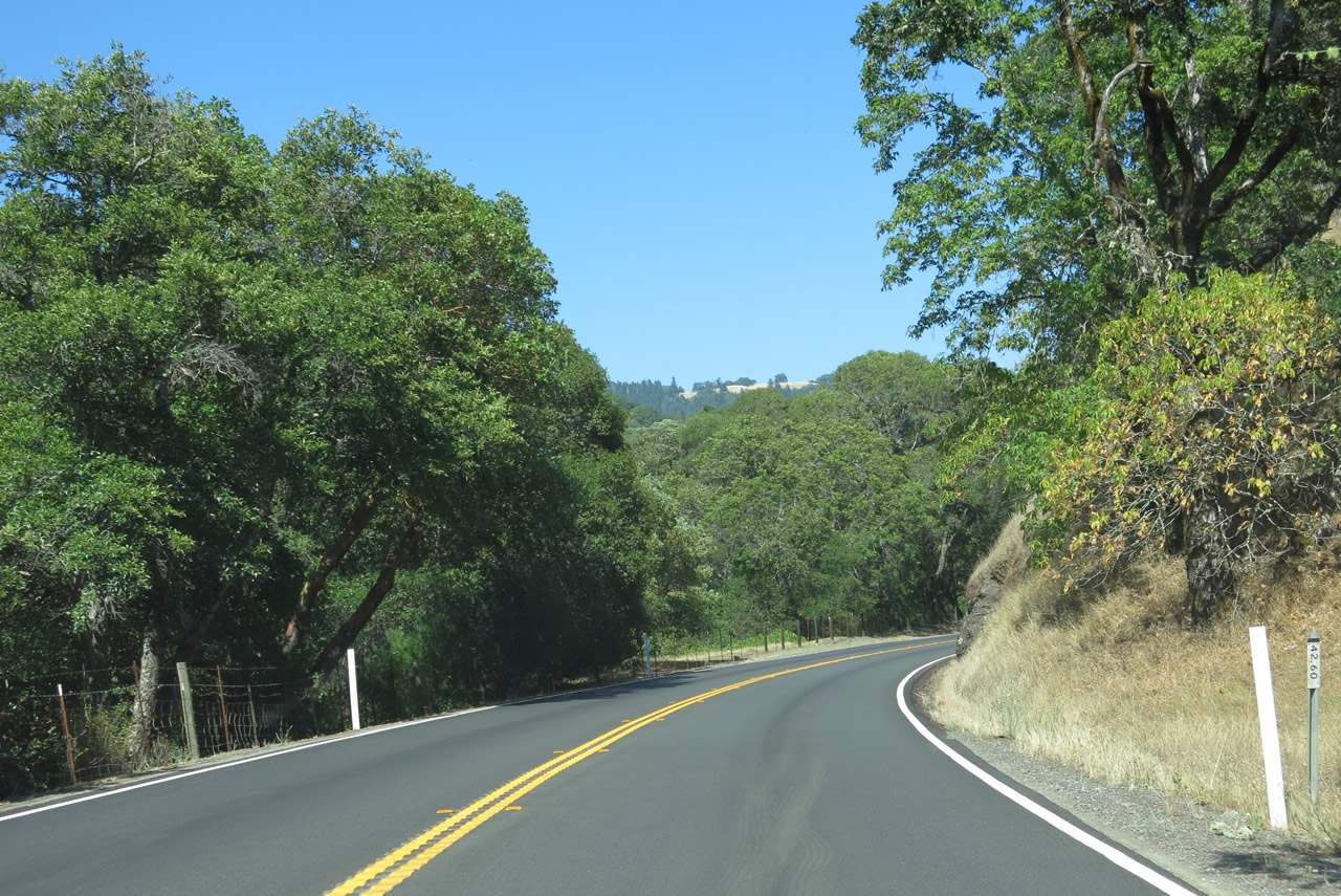
Running north of Big Foot Mountain, SR 128 east next crosses Elkhorn Creek at milepost 42.30.
07/05/13
SR 128 switches sides with parallel Dry Creek at milepost 43.44.
07/05/13
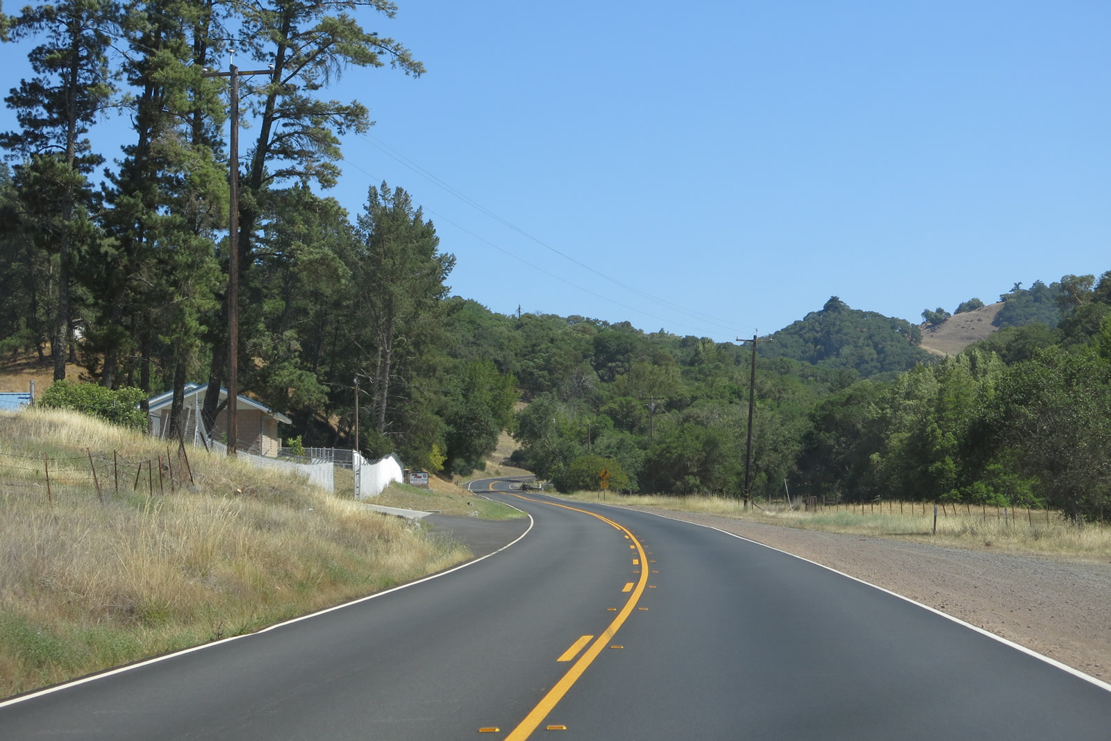
SR 128 continues paralleling Dry Creek east to post mile 46.10, where the highway shifts northward between hills.
07/05/13
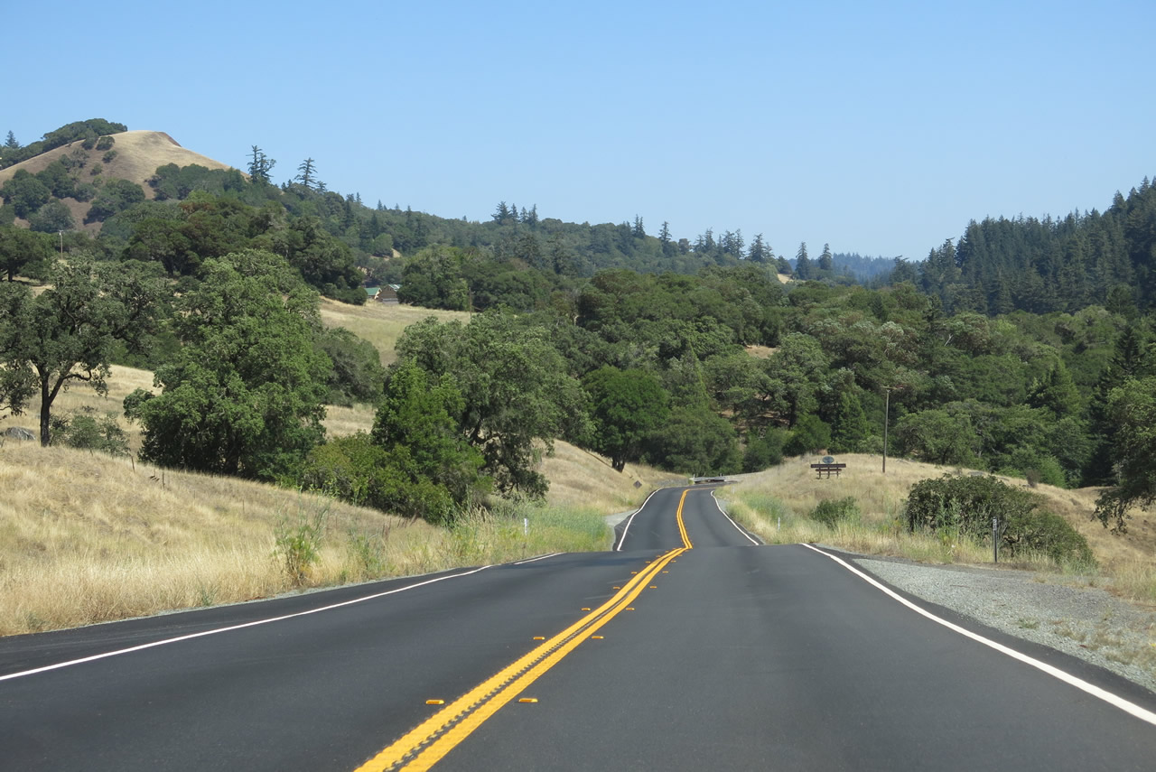
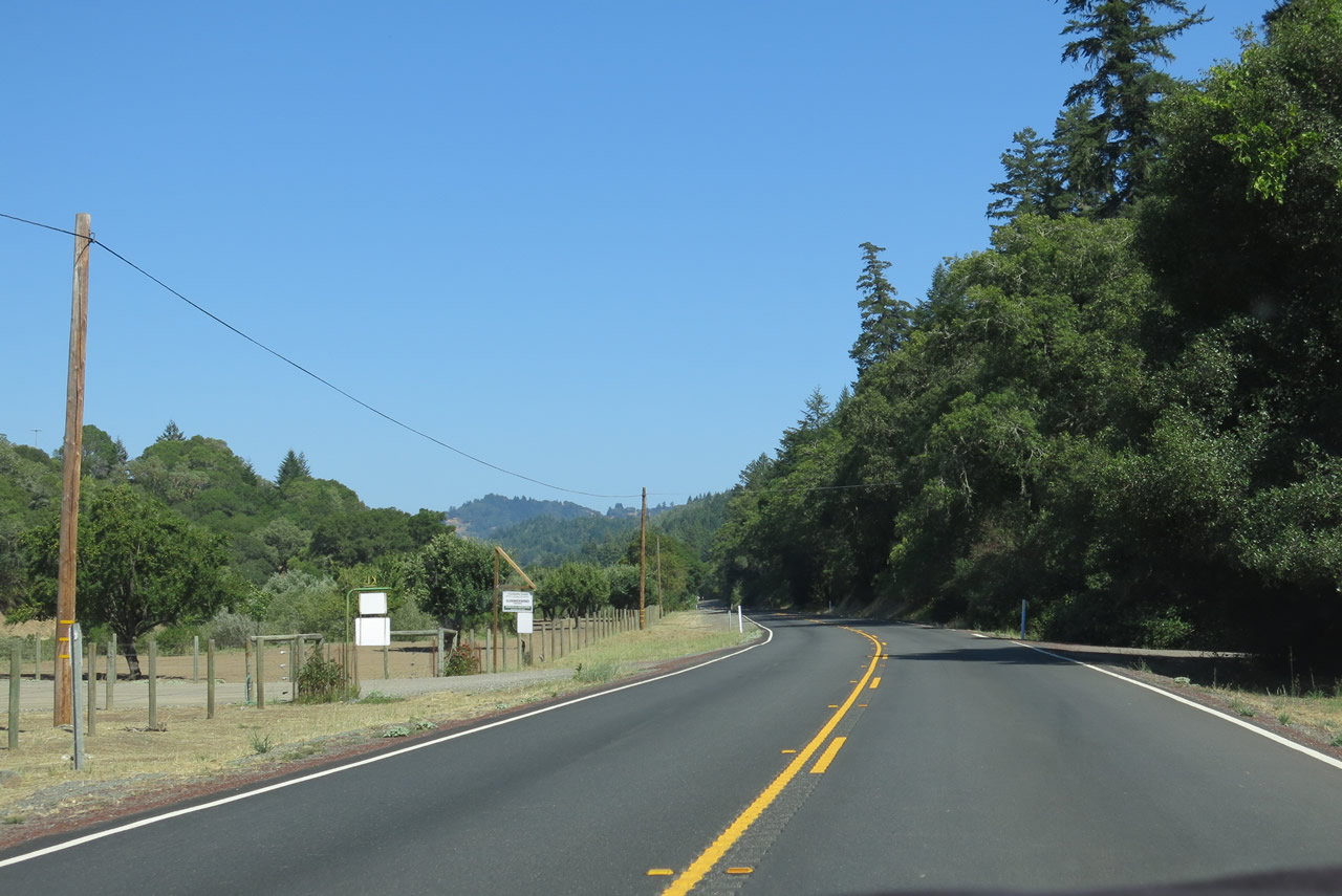
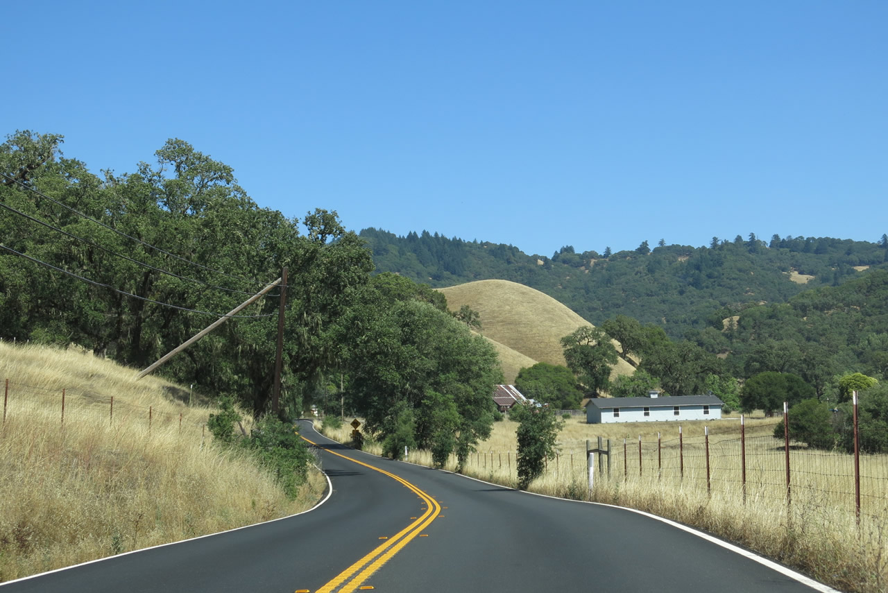
State Route 128 undulates over a series of hills by timberland and vineyards eastward to Mountain House Road.
07/05/13
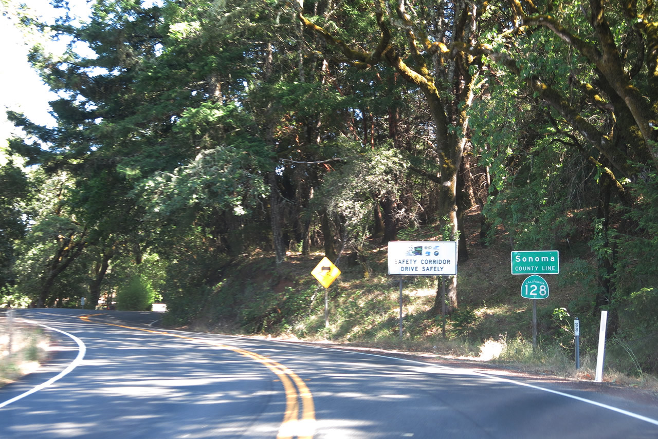
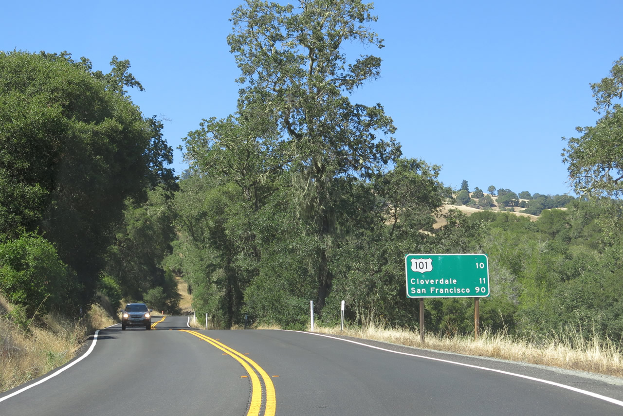
Eastbound SR 128 enters Sonoma County at mile post 50.90, west of Redwood Mountain.
07/05/13
Continuing by Redwood Mountain along SR 128 east at post mile 52.20.
07/05/13
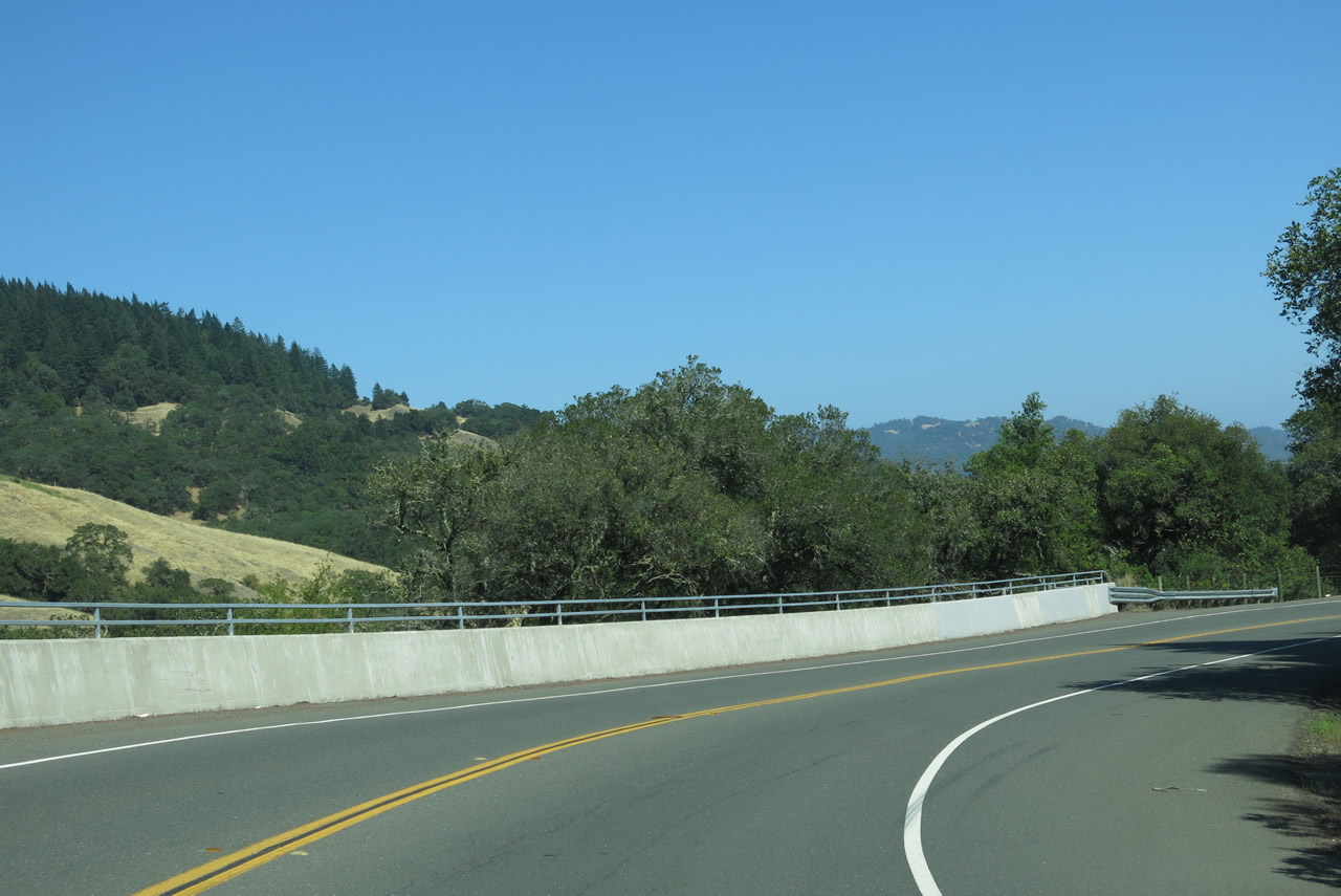
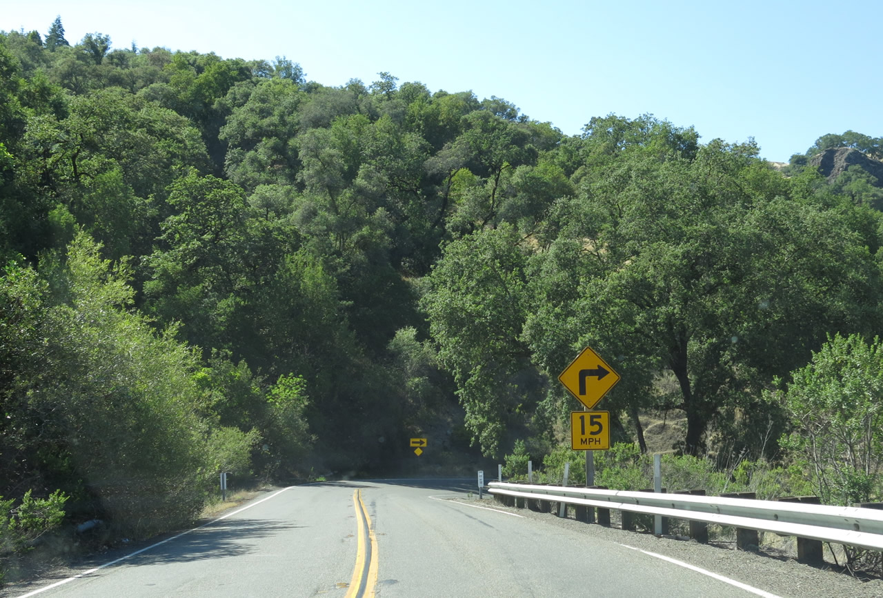
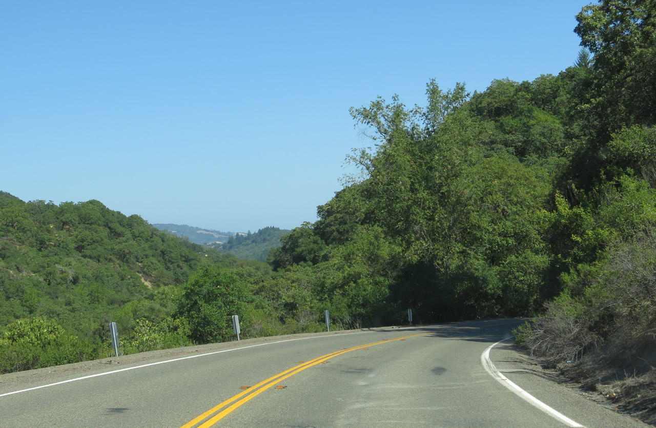
Dropping 250 feet in elevation, SR 128 navigates through a series of switchbacks and sharp curves along the west side of Redwood Mountain.
07/05/13
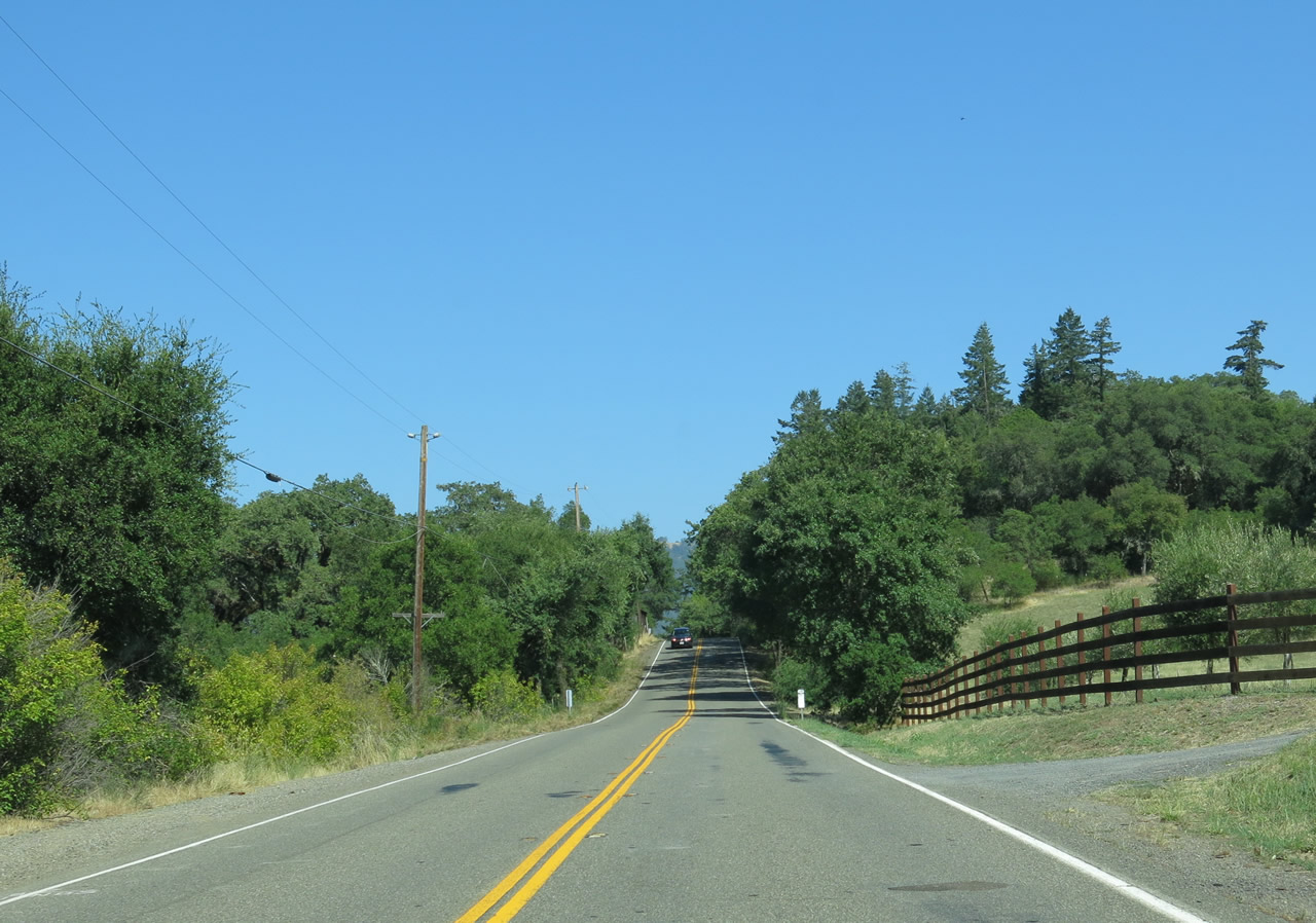
SR 128 proceeds southeast from Alderglen Springs into Oat Valley.
07/05/13
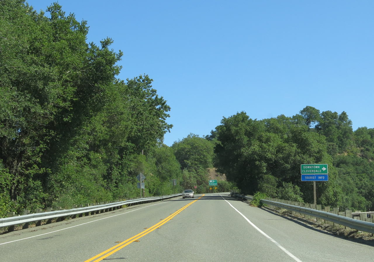
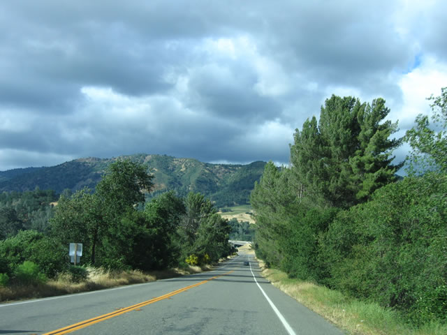
SR 128 ties into U.S. 101 Business on the north side of the Cloverdale city limits. U.S. 101 Business south along Cloverdale Boulevard to Downtown Cloverdale doubles as SR 128 Business, though no signage is posted for the designation along SR 128.
07/05/13
U.S. 101 Business/SR 128 (Redwood Highway) overlap 0.82 miles northeast to the freeway along U.S. 101 at Exit 522. The city of Cloverdale, the northernmost city in Sonoma County, was incorporated on February 28, 1872, and it had a population of 8,618 as of the 2010 Census.
07/05/13
Redwood Highway was the original route of U.S. 101 prior to completion of the Cloverdale bypass freeway in the 1990s.
05/26/06
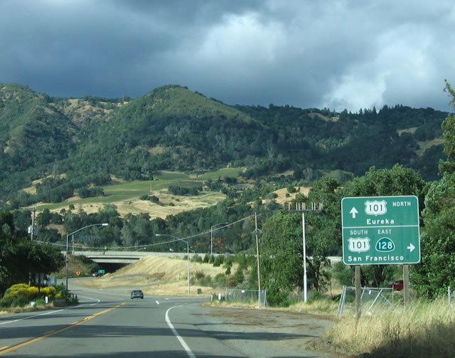
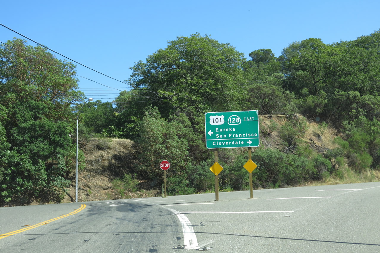
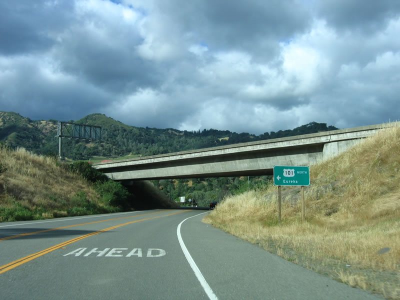
A parclo interchange joins U.S. 101 Business/SR 128 (Redwood Highway). SR 128 overlaps with U.S. 101 south to Geyserville.
05/26/06
U.S. 101 Business returns to U.S. 101 at the succeeding entrance ramp. U.S. 101 travels north to Ukiah while Redwood Highway spurs north to McCray Road. The bridge taking old U.S. 101 across the Russian River was demolished.
05/26/06
Photo Credits:
- Andy Field: 05/26/06, 07/05/13
Connect with:
Page Updated Tuesday September 03, 2013.