
State Route 253
California 253 is an east-west state route that connects California 128 near Boonville with U.S. 101 (Redwood Highway) and South State Street in Ukiah. Much of the route passes through undeveloped area and has several curves and hills along its 16 mile long route.
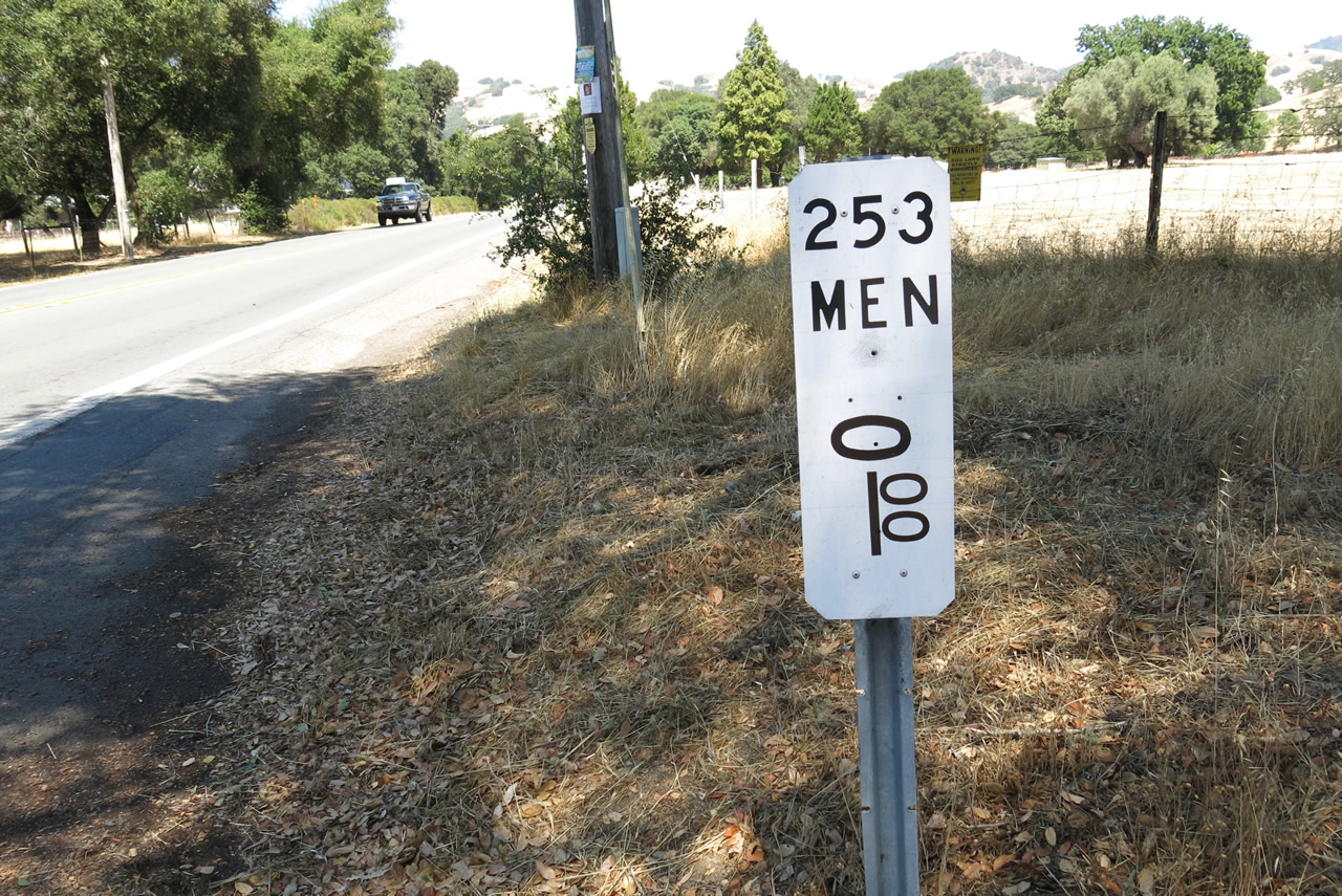
The zero postmile marker for SR 253 at the intersection with SR 129. There is no confirming marker for the state route.
07/05/13
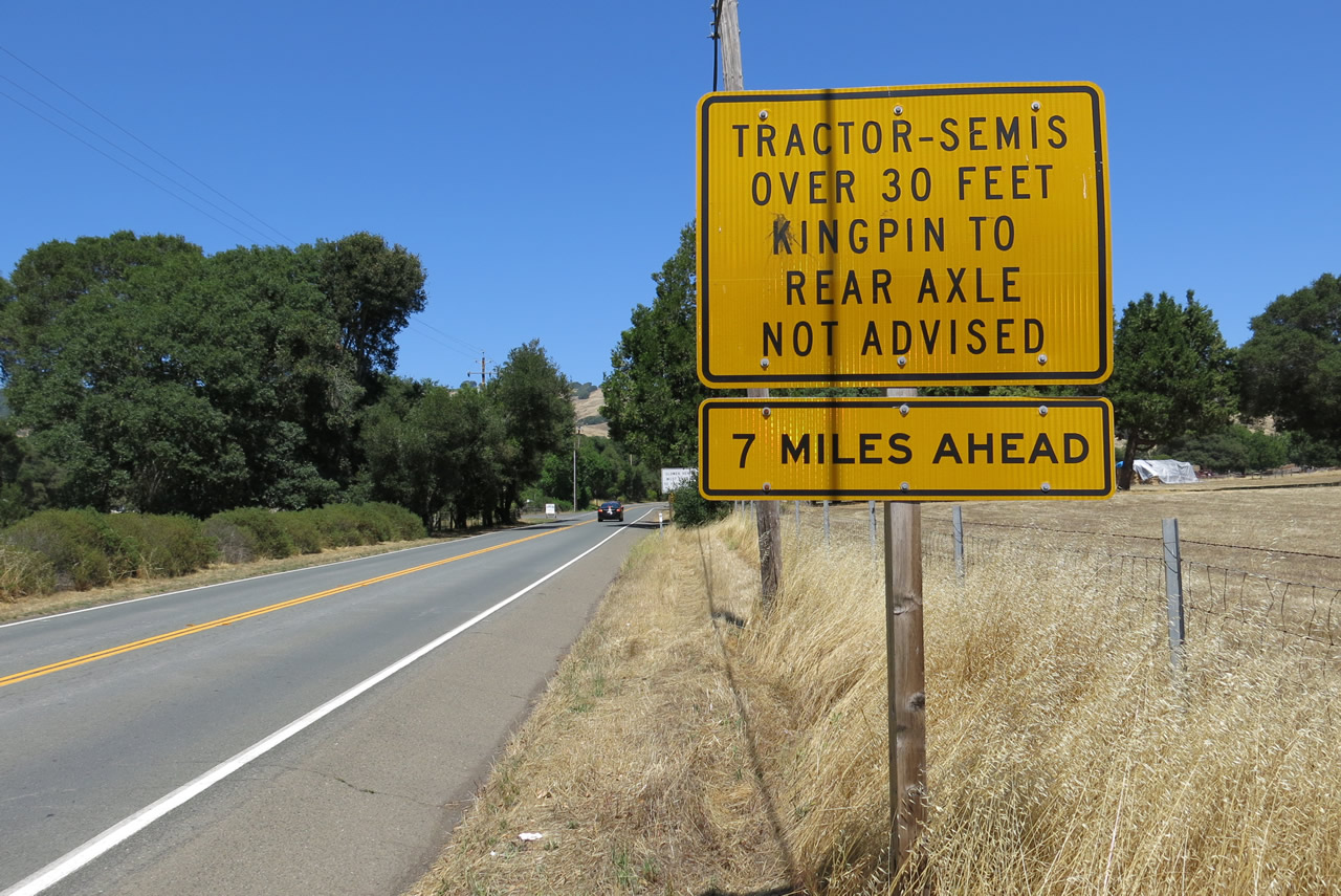
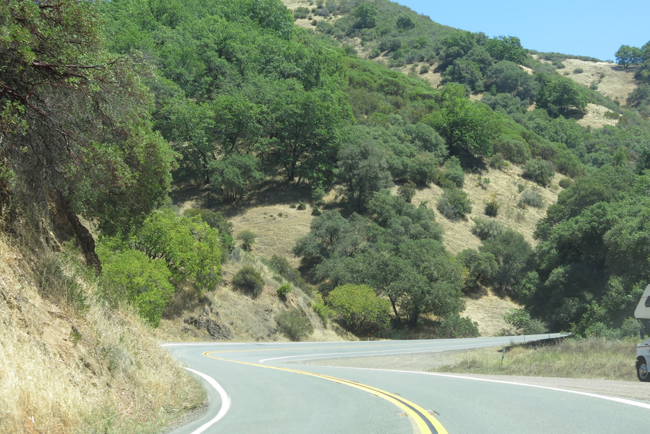
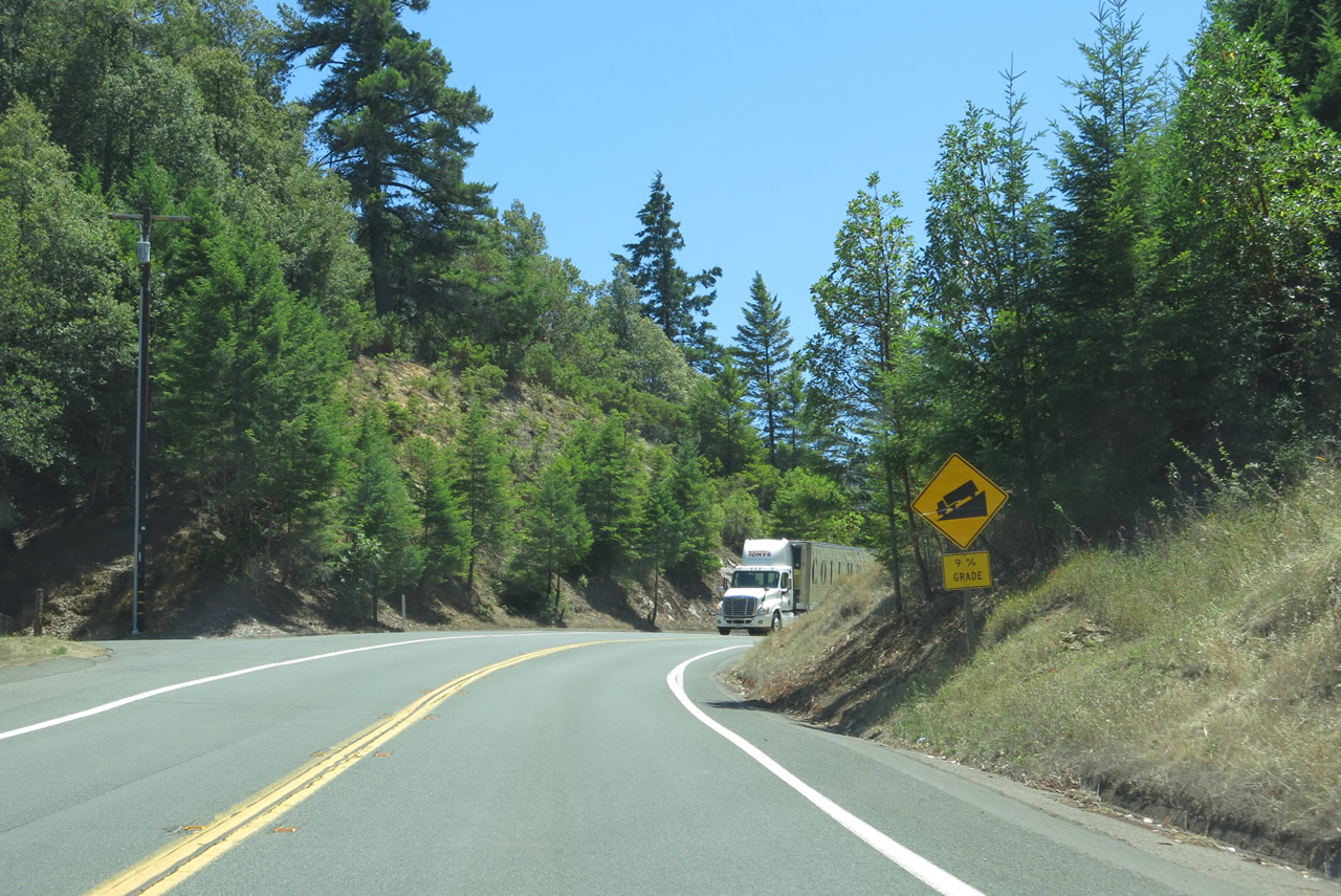
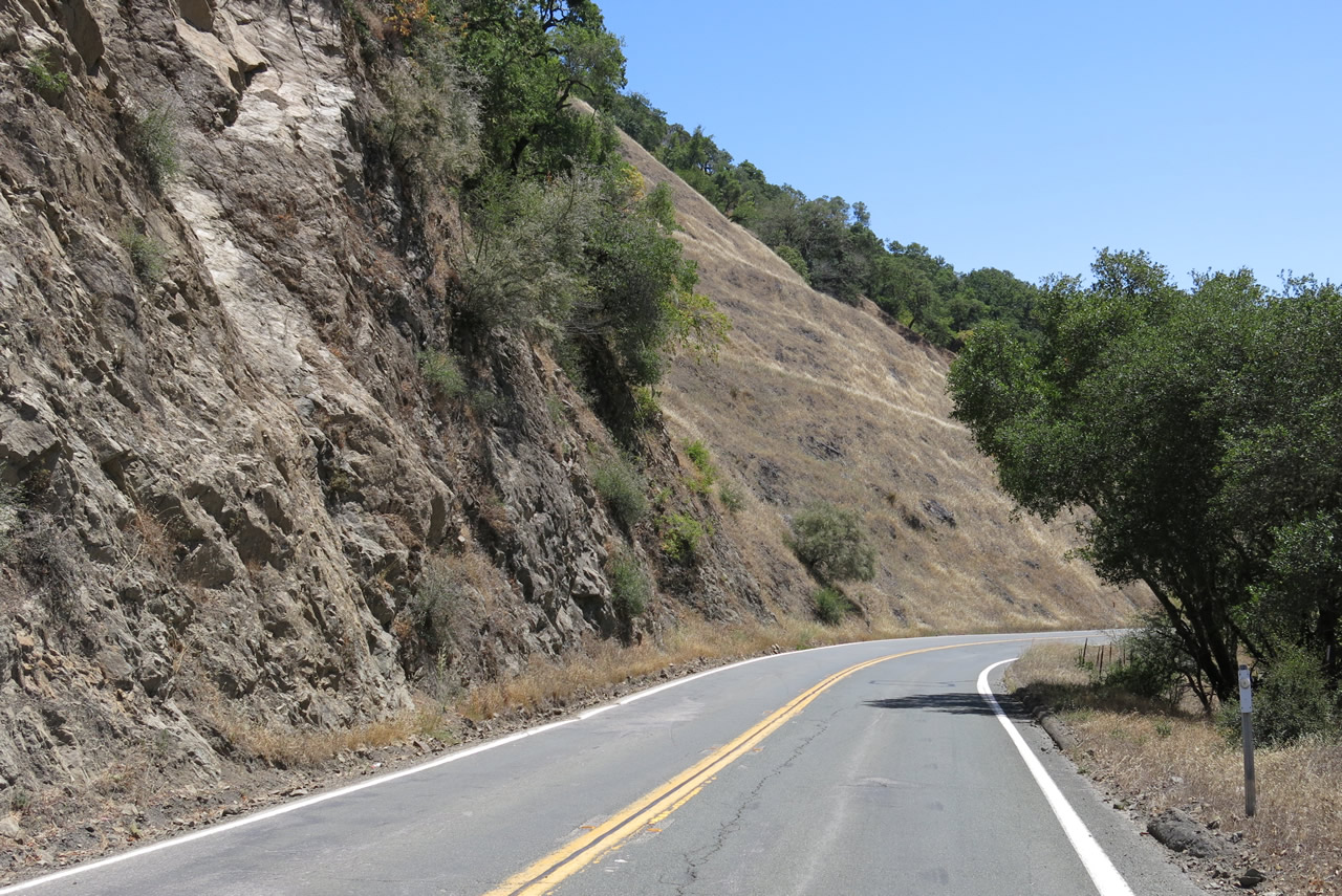
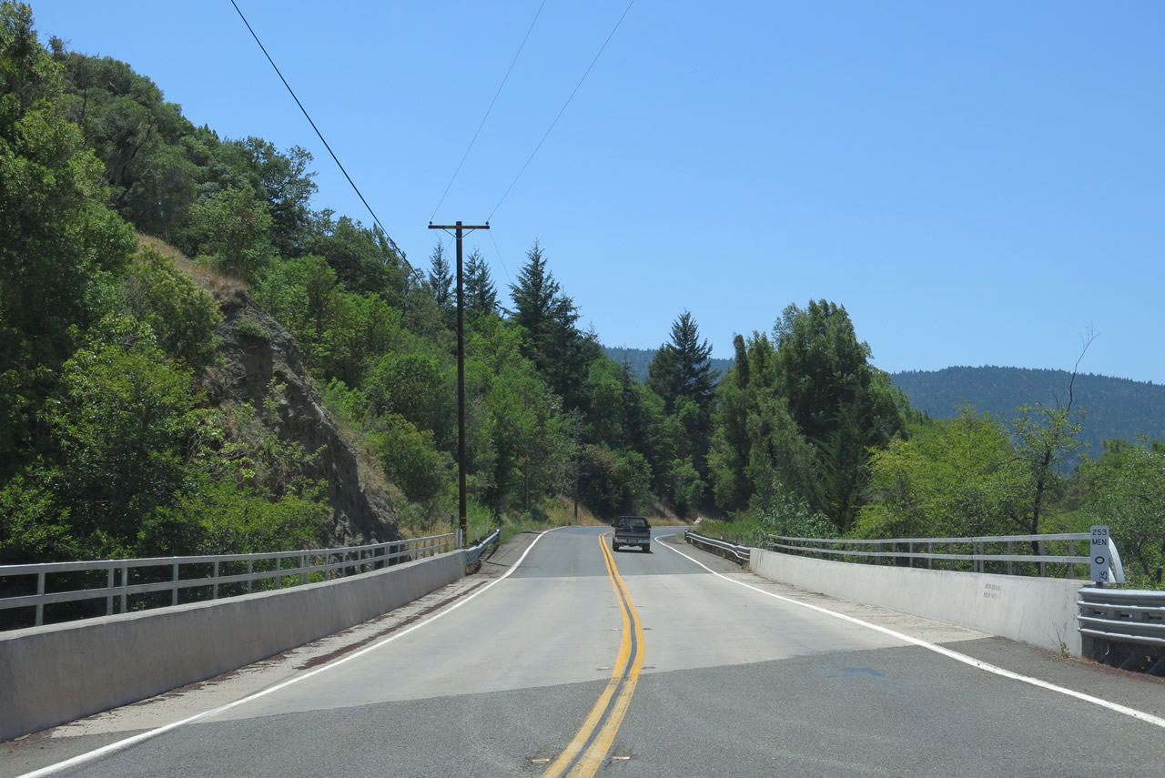
Trucks are not recommended for the middle section of California 253 where the twists and turns are greatest.
07/05/13
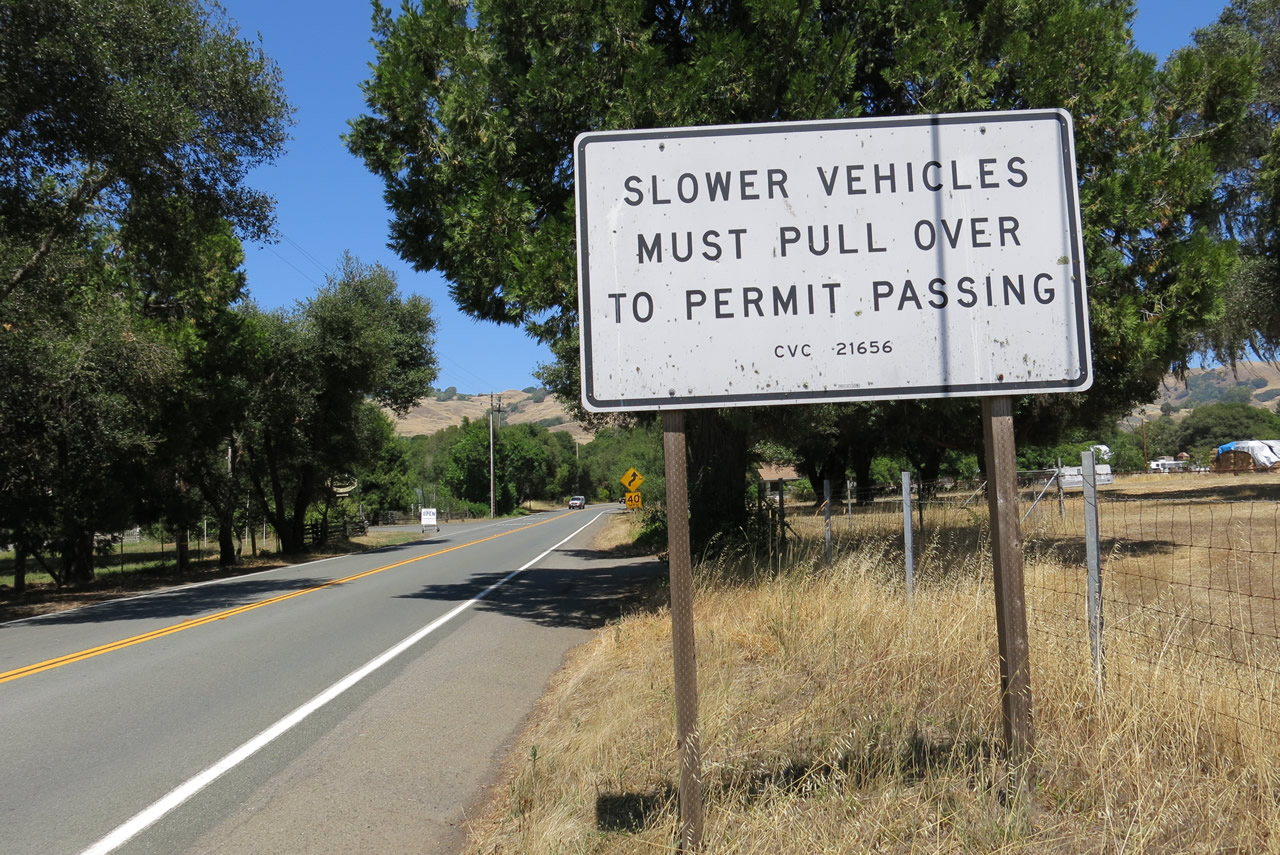
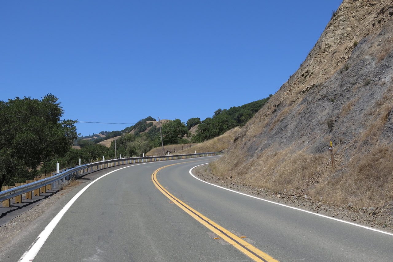
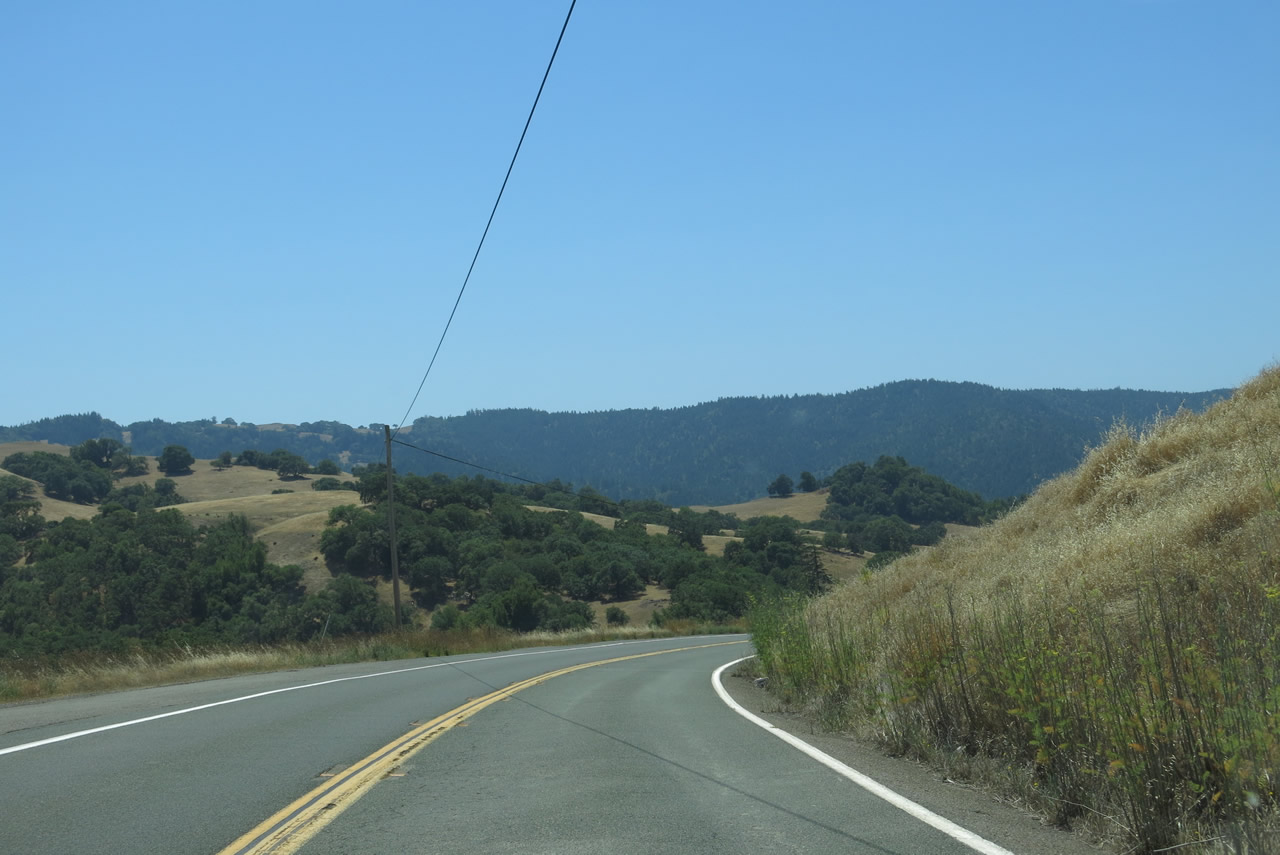
Slower vehicles on California 253 east must use the turnouts per the California Vehicle Code to permit passing.
07/05/13
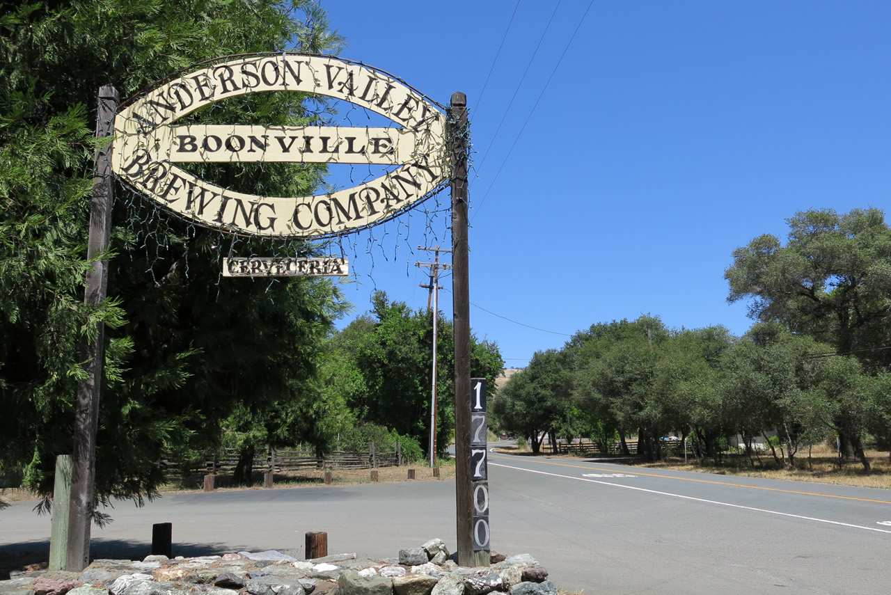
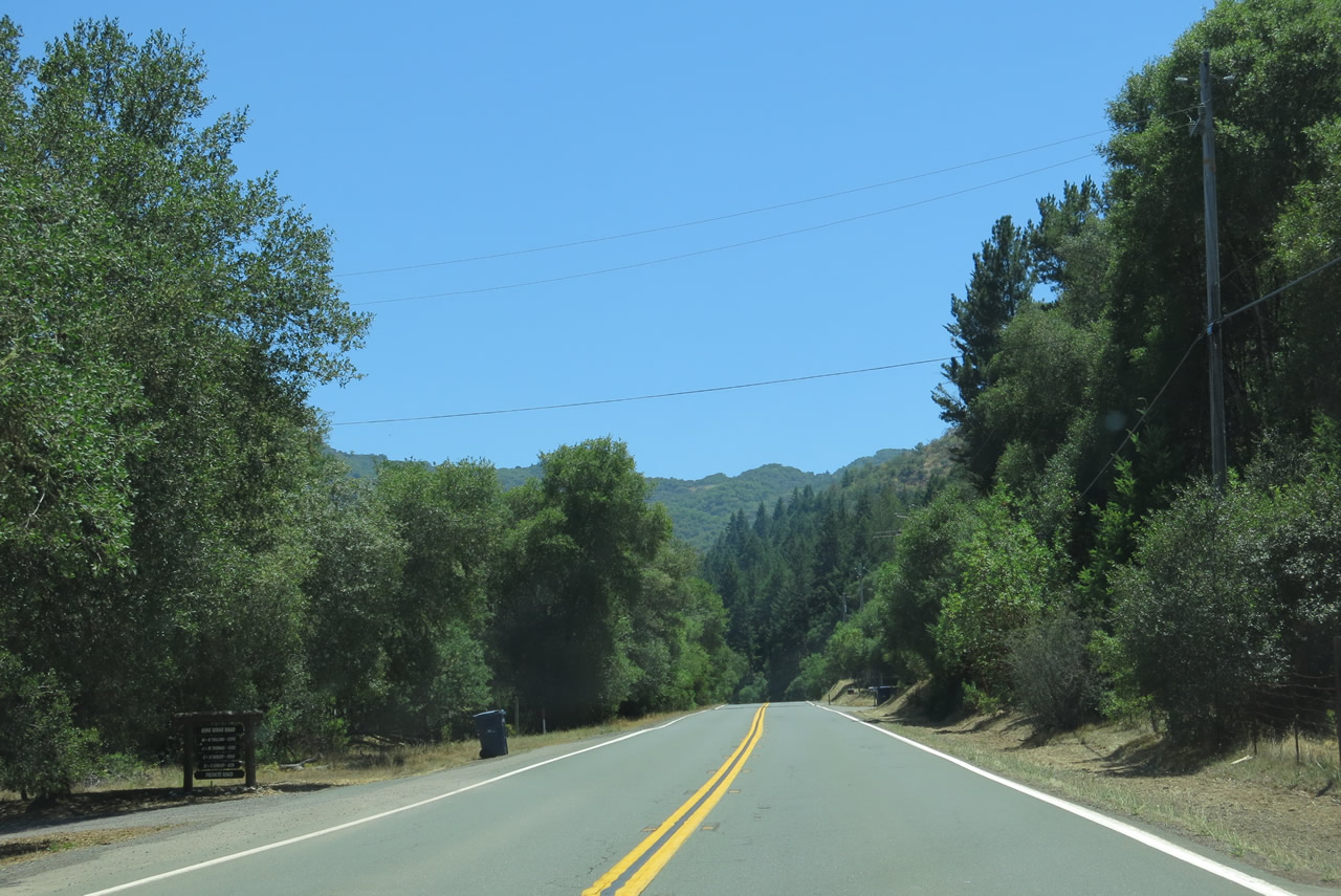
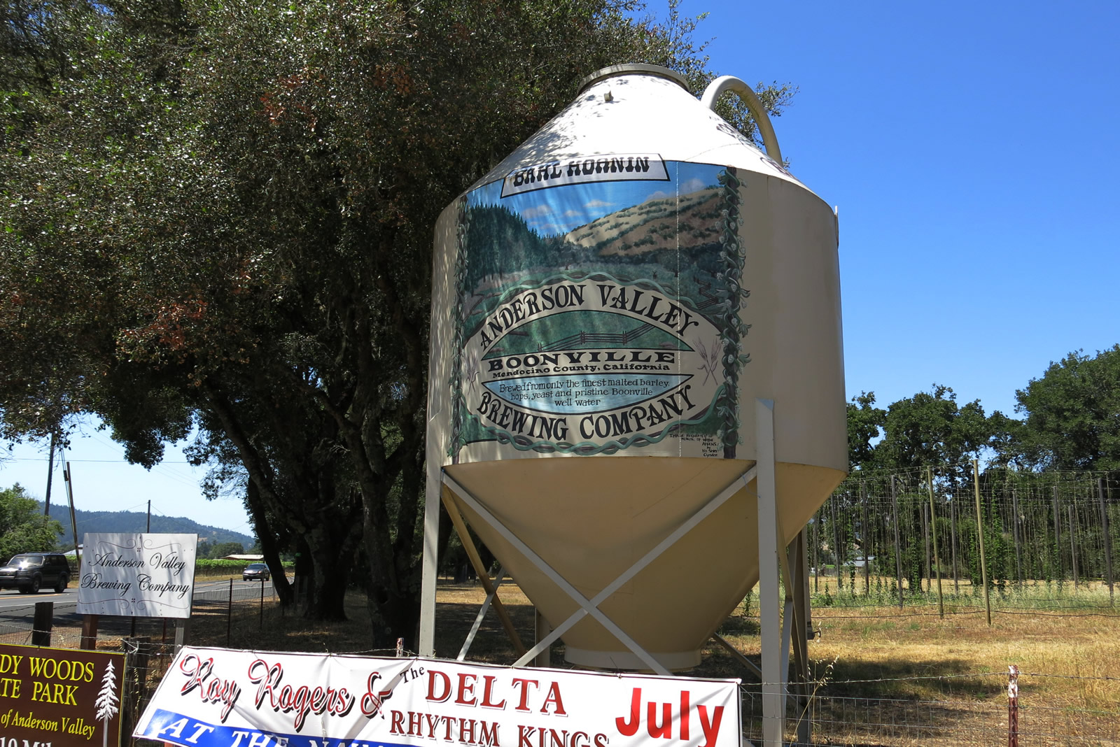
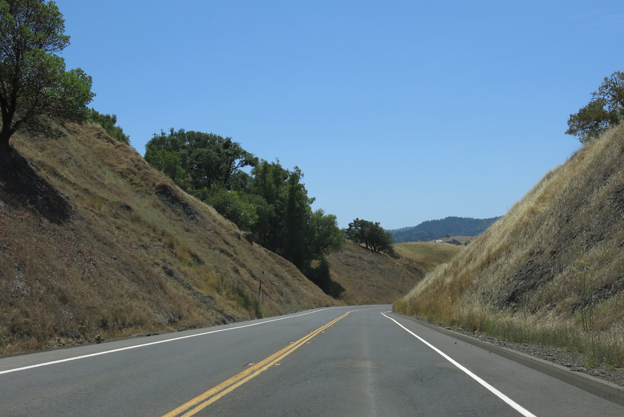
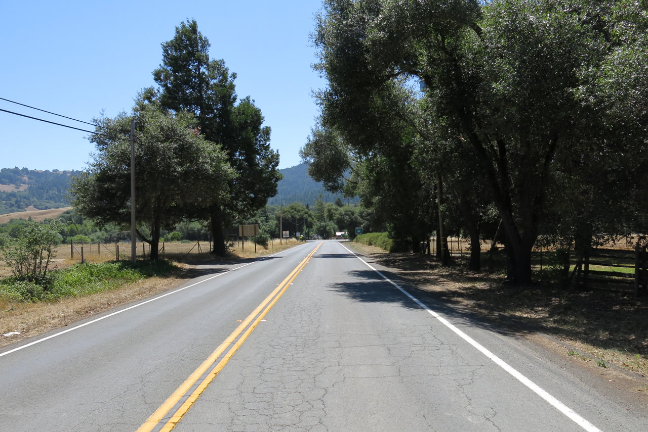
California 253 passes by the Anderson Valley Brewing Company on its way out of Boonville.
07/05/13
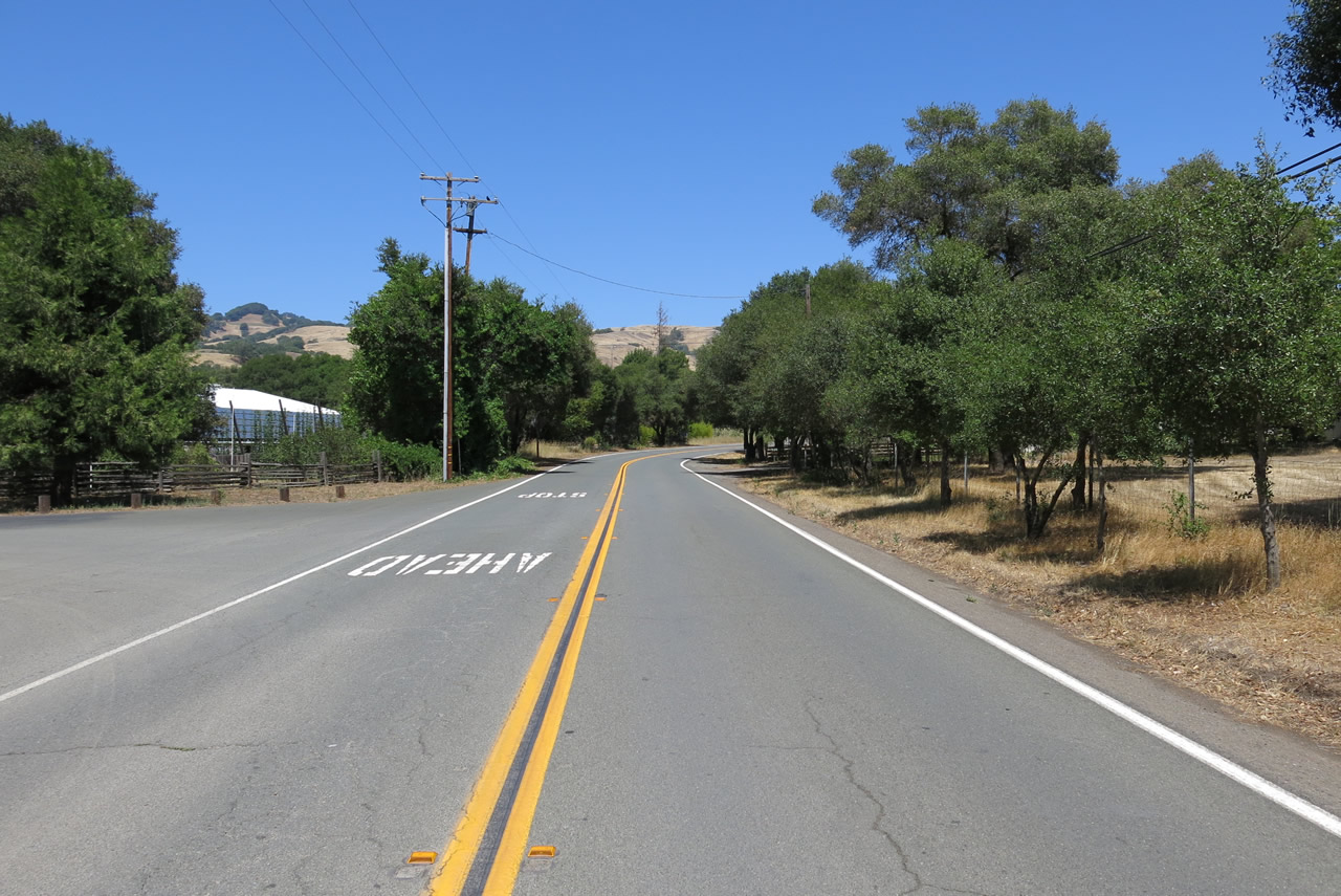
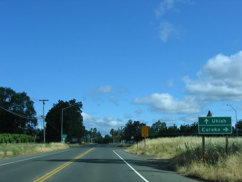
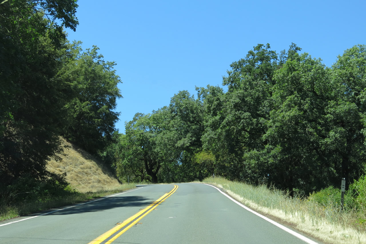
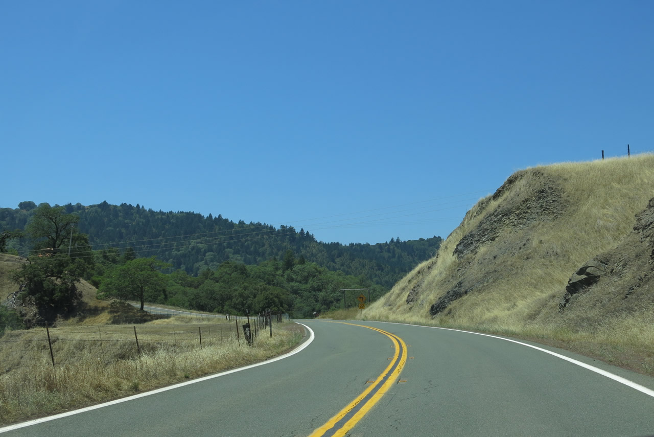
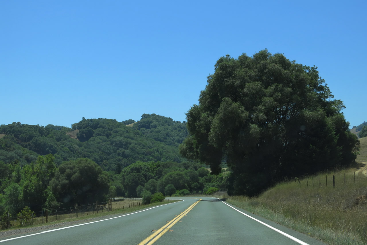
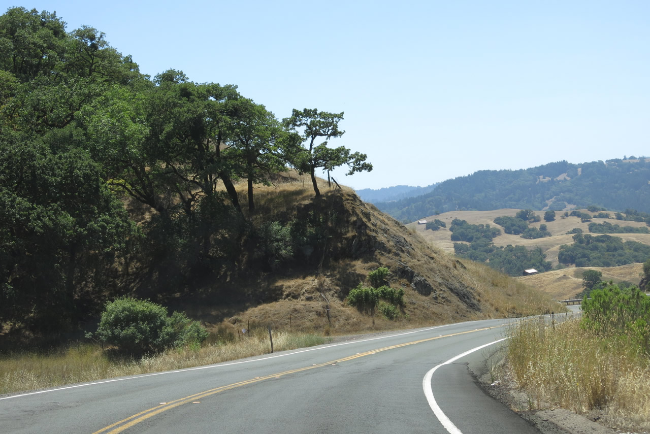
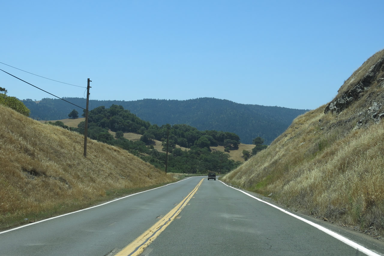
Eastbound California 253 starts off relatively straight, but the route will ascend out of Anderson Valley to Pine Ridge, then descend into Ukiah. Along the way, California 253 sees plenty of curves and changes in grade.
07/05/13
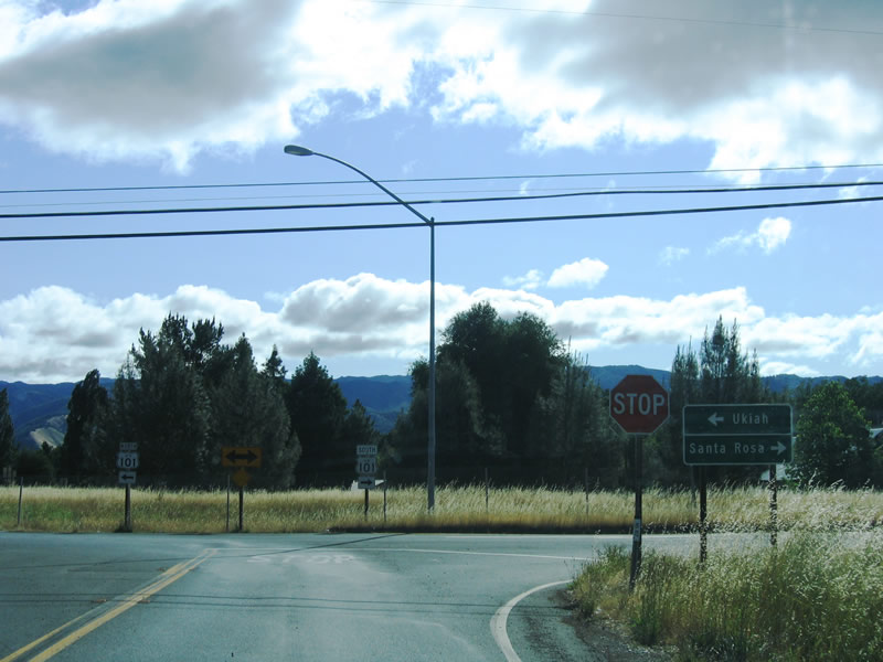
SR 253 (Boonville-Ukiah Road) crosses over Pine Ridge to meet U.S. 101 at the south end of Ukiah. SR 253 ties into S State Street at the entrance ramp for U.S. 101 south. SR 253 makes an unmarked turn northward on S State Street (unsigned U.S. 101 Business) to connect with the northbound entrance ramp for U.S. 101.
05/25/06
Ukiah became county seat when Mendocino County split from Sonoma County in 1859; Ukiah incorporated in 1876. Home to 15,497 people as of the 2000 Census, Ukiah is another major wine-producing region and is home to the Mendocino Brewing Company (which was formerly the Hopland Brewing Company). The button copy sign for U.S. 101 north on State Street was replaced by 2020. That assembly was subsequently removed by 2024 and replaced with a new sign located further north.
05/25/06
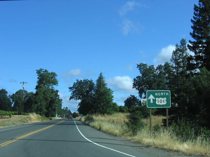
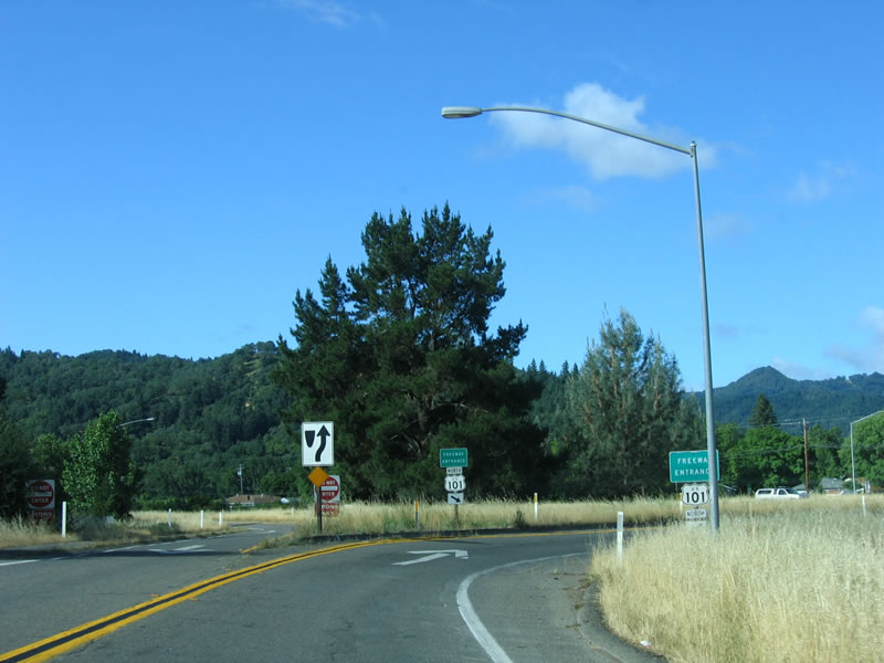
California 253 turns right here onto the U.S. 101 freeway northbound. Continue straight ahead to follow Old U.S. 101 into Ukiah.
05/25/06
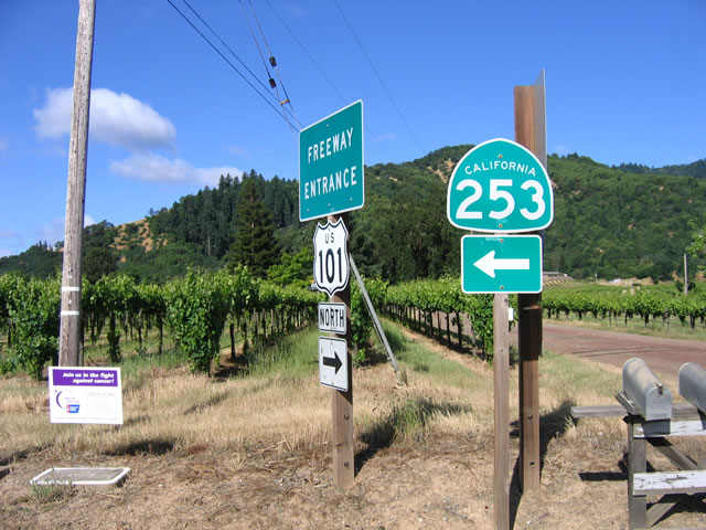
A California 253 postmile appears along the ramp to northbound U.S. 101. The ramp crosses over the U.S. 101 freeway, then loops onto northbound.
05/25/06
This set of freeway entrance shield assemblies for U.S. 101 north is posted after crossing over the freeway.
05/25/06
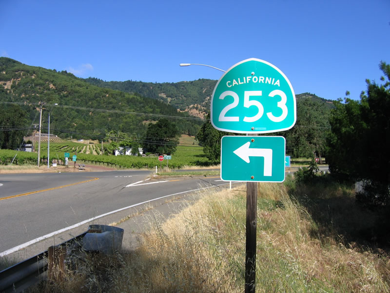
California 253 trailblazer posted on the ramp from northbound U.S. 101 (Redwood Highway) to the state route west along South State Street (former U.S. 101). After crossing the freeway on this bridge, a left turn is required to follow California 253 west to Boonville.
05/25/06
A small destination sign points the way to Boonville (west) and Ukiah (north).
05/25/06
Another California 253 shield is posted at the end of the ramp from U.S. 101 to South State Street.
05/25/06
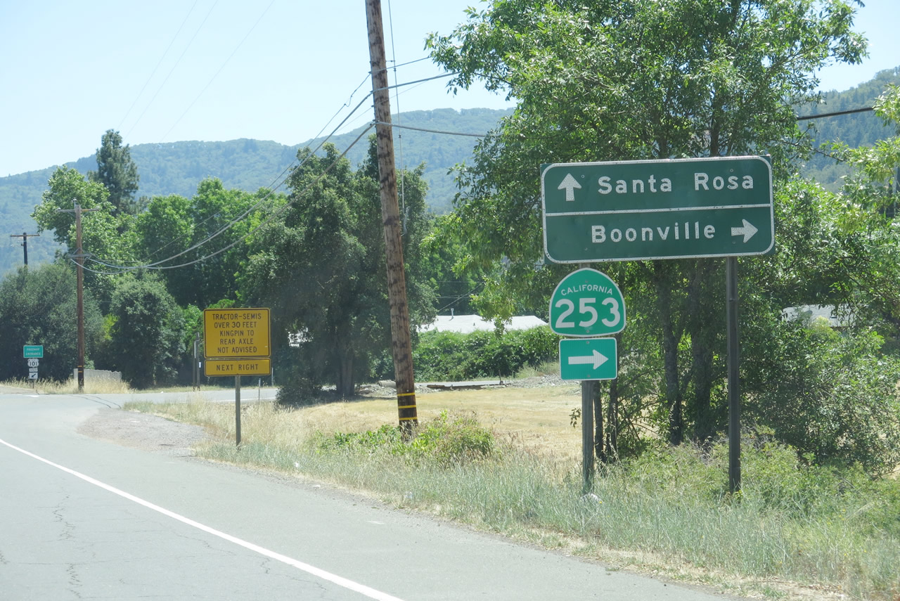
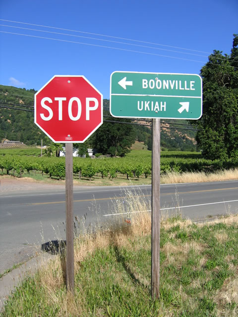
Now traveling south on South State Street, California 253 turns west onto Boonville-Ukiah Road at this intersection. Continue straight ahead to follow U.S. 101 south to Santa Rosa.
07/05/13
S State Street defaults onto the southbound entrance ramp for U.S. 101 toward Hopland and Santa Rosa.
07/05/13
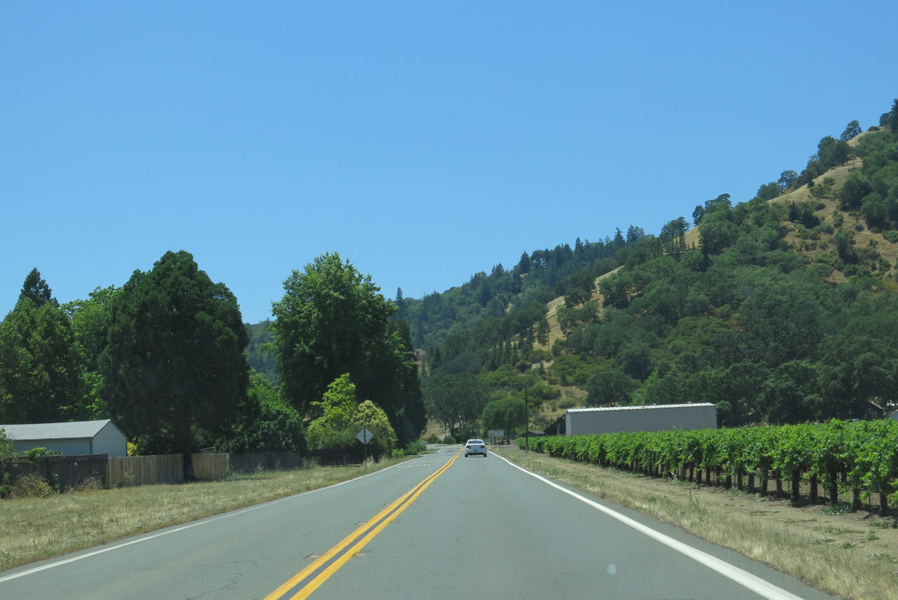
Leading away from Ukiah, westbound California 253 passes by vineyards and ranches. This is a windy and hilly trip to Boonville, but it does save travel time between Ukiah and the coast.
07/05/13
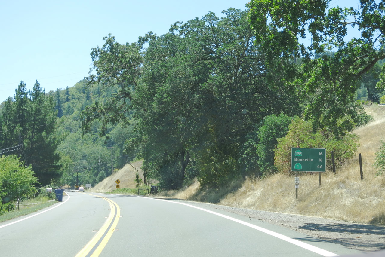
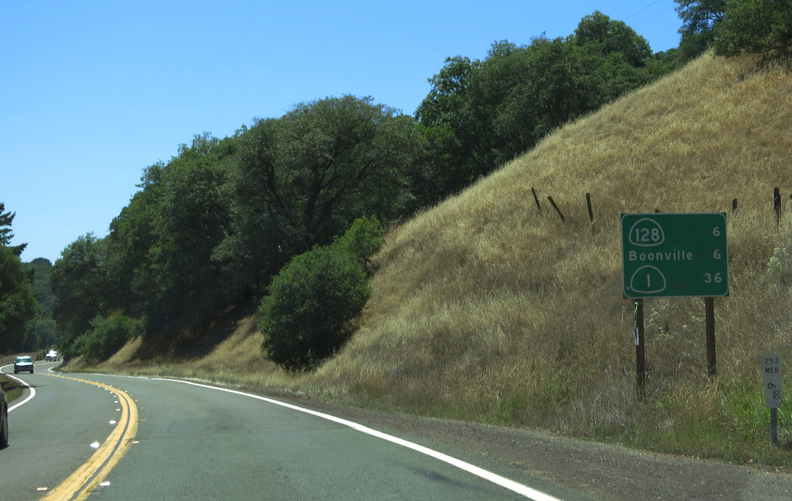
This mileage sign along California 253 west provides the distance to California 128 (16 miles), Boonville (16 miles), and California 1 (Shoreline Highway) (46 miles via California 128 west).
07/05/13
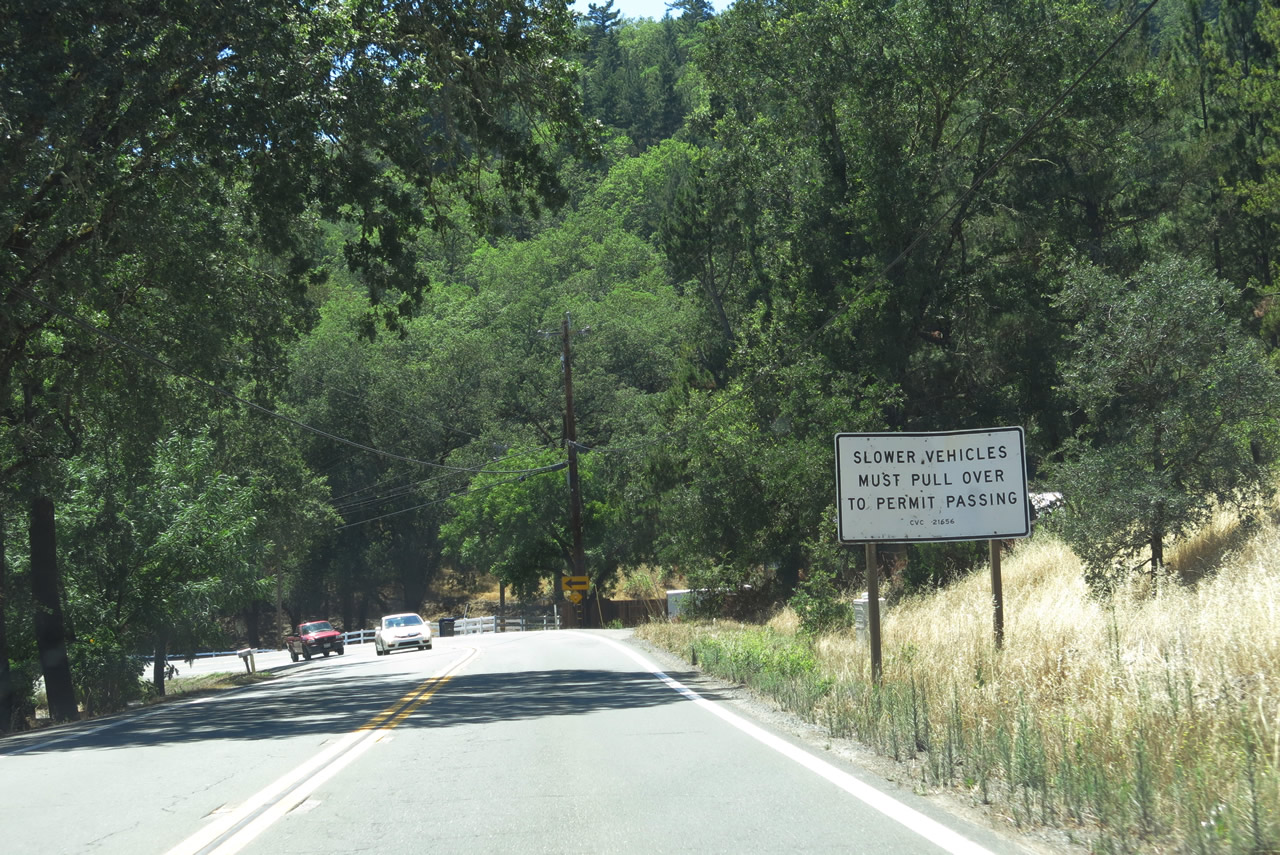
California Vehicle Code requires that slower vehicles use the turnouts to allow faster vehicles to pass. California 253 has several such turnouts along its route.
07/05/13
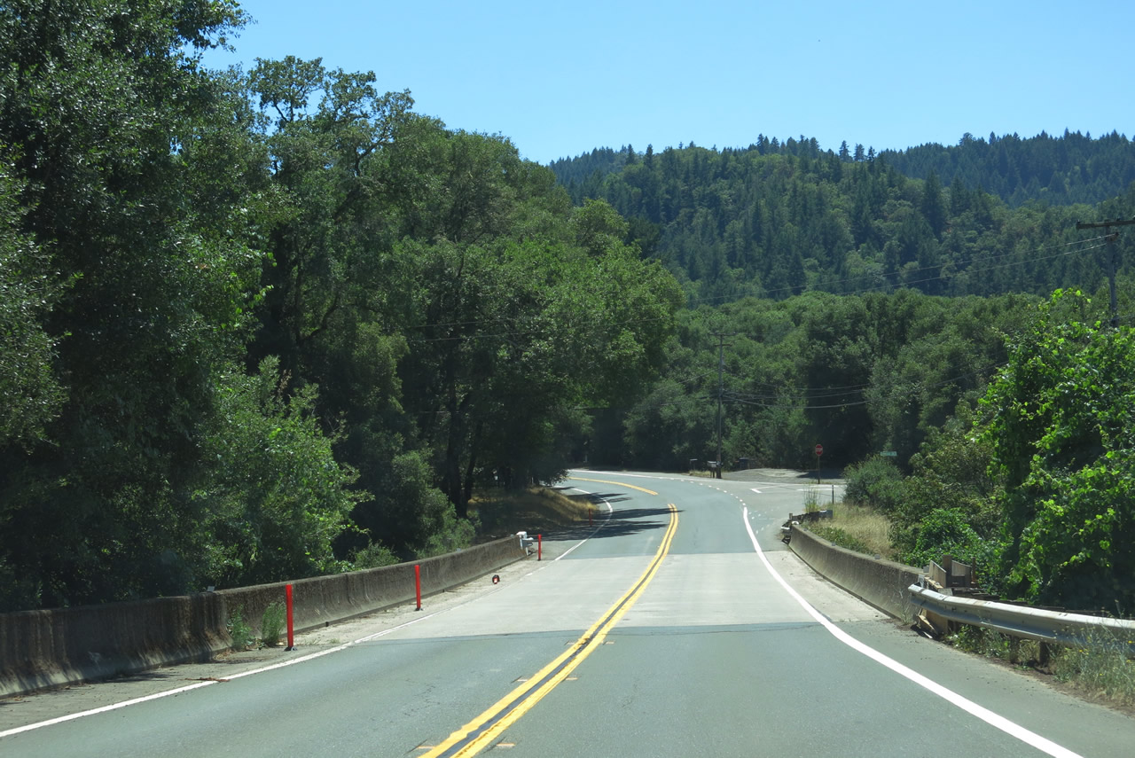
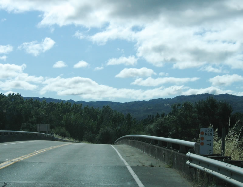
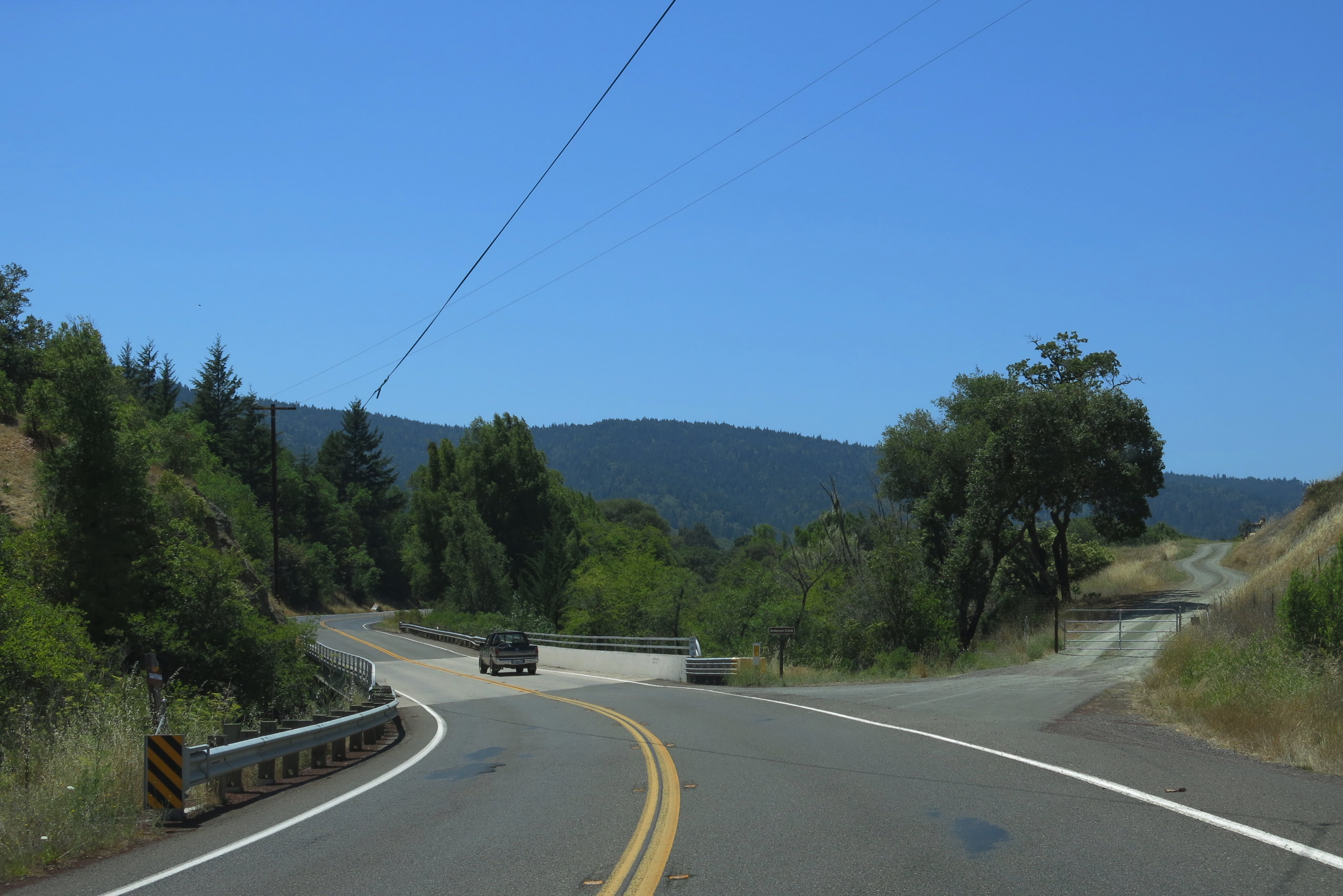
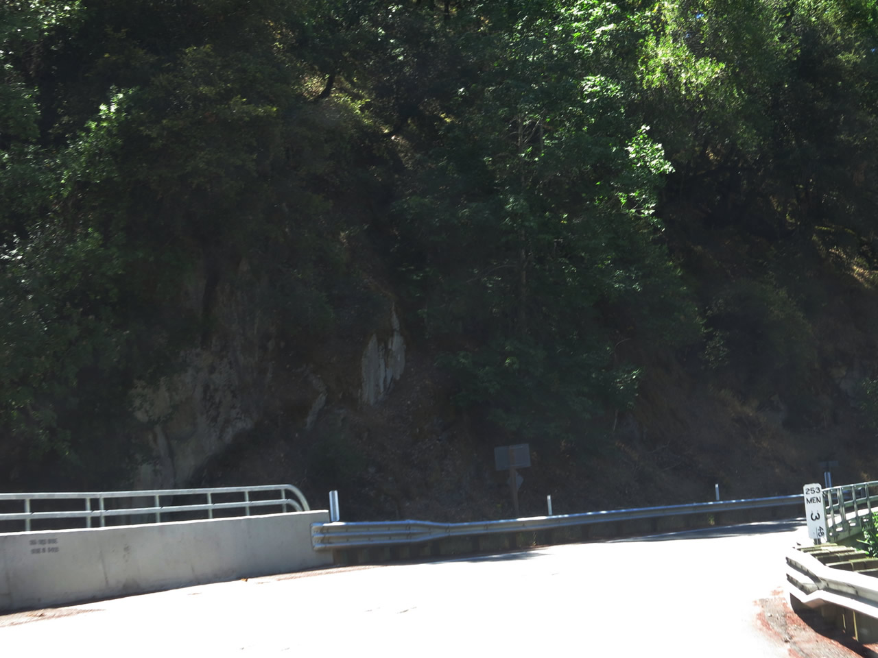
SR 253 (Boonville Ukiah Road) west spans Robinson Creek at post mile 15.10.
07/05/13
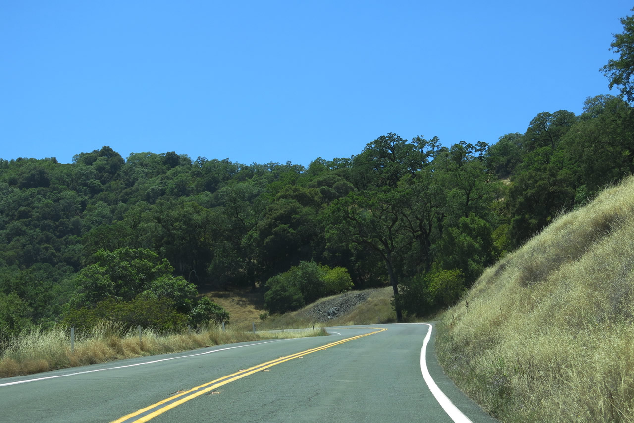
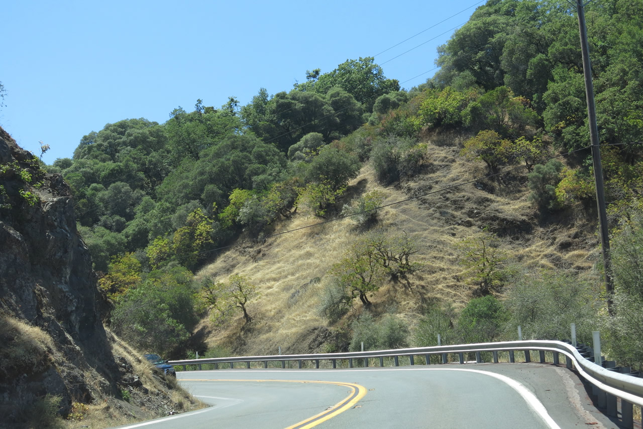
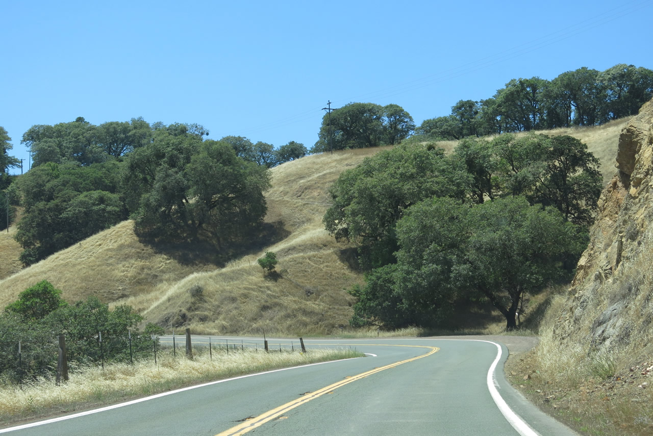
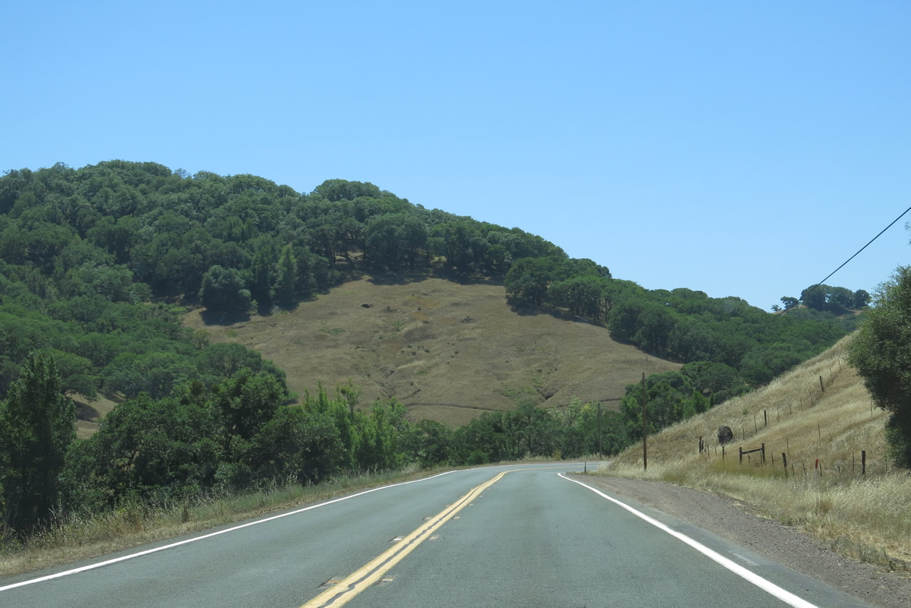
Traveling south from Robinson Creek, SR 253 gains around 400 feet in elevation before turning westward again through a series of S-curves and sharp turns.
07/05/13
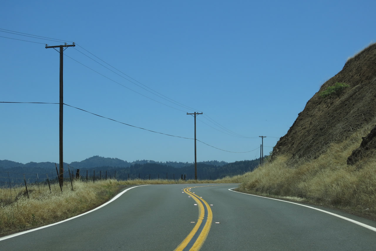
SR 253 westbound ascends to over 1,600 feet above sea level by post mile 11.84.
07/05/13
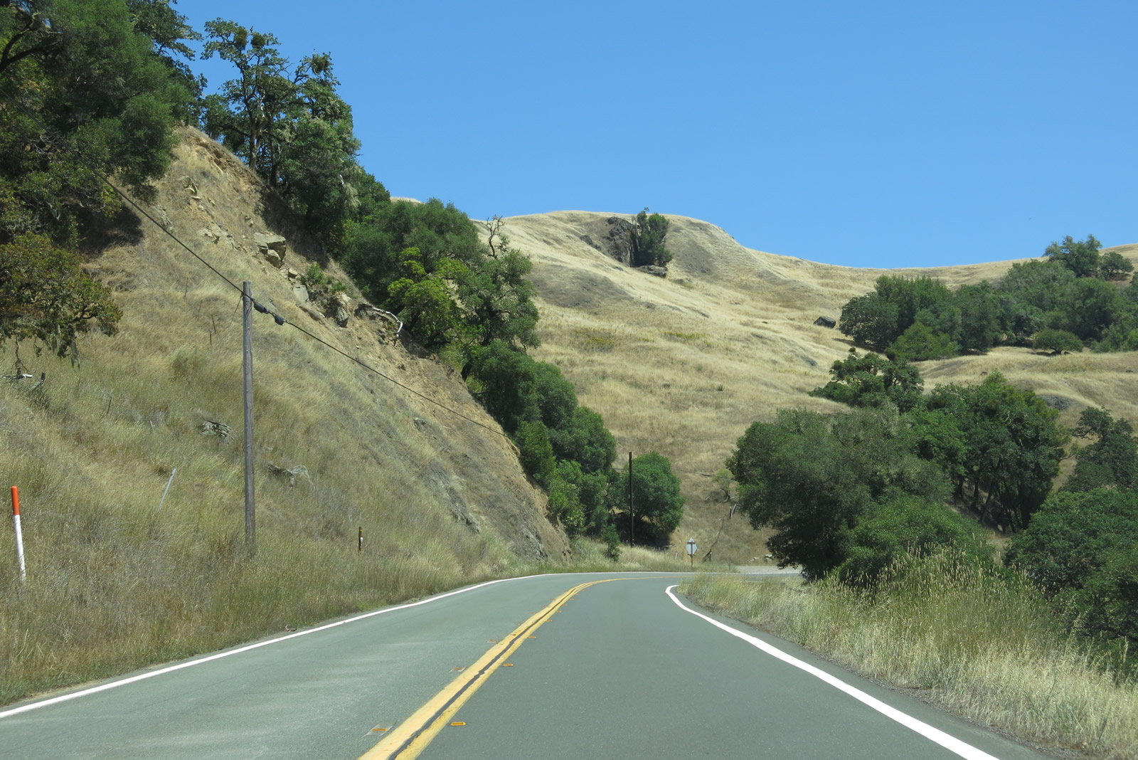
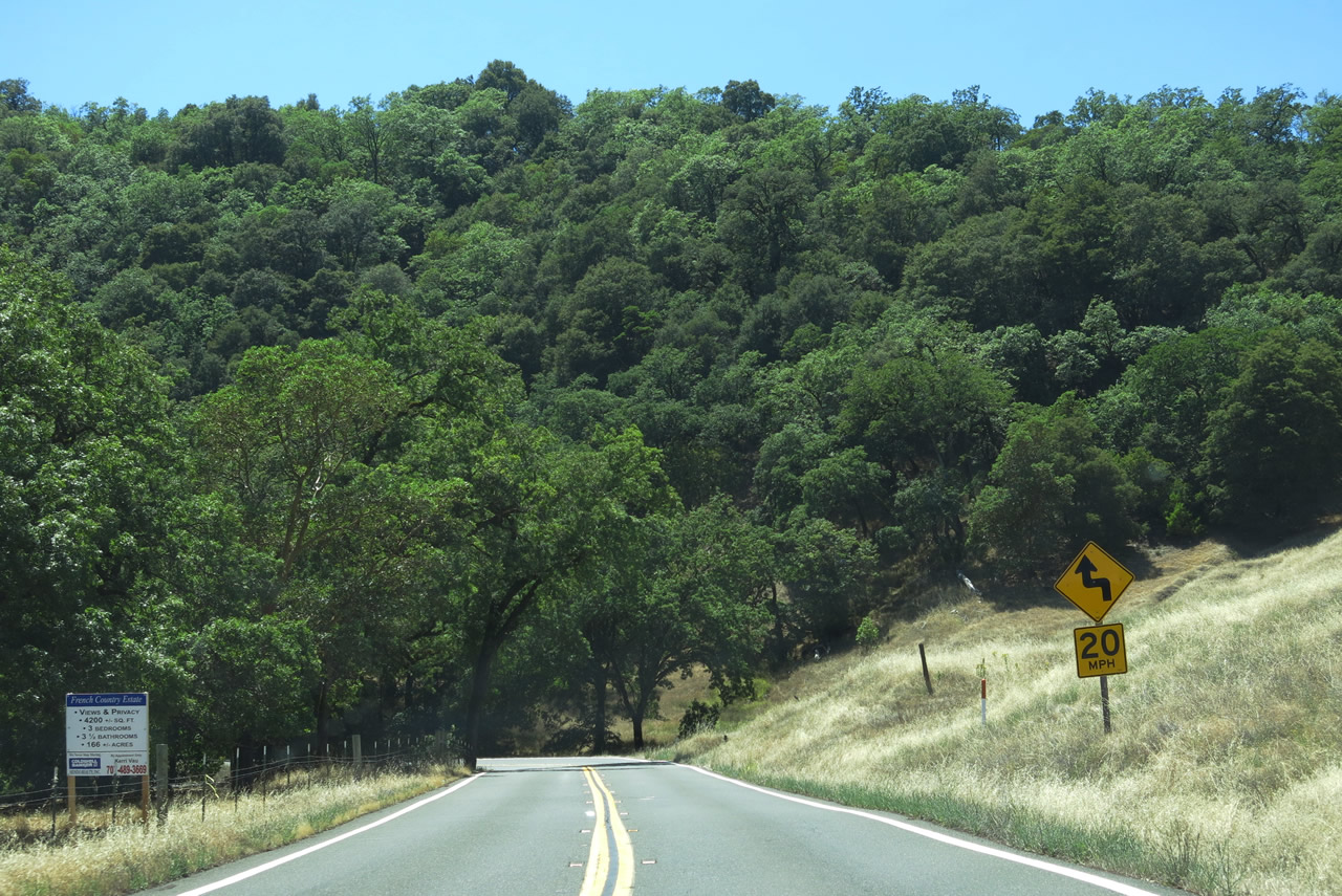
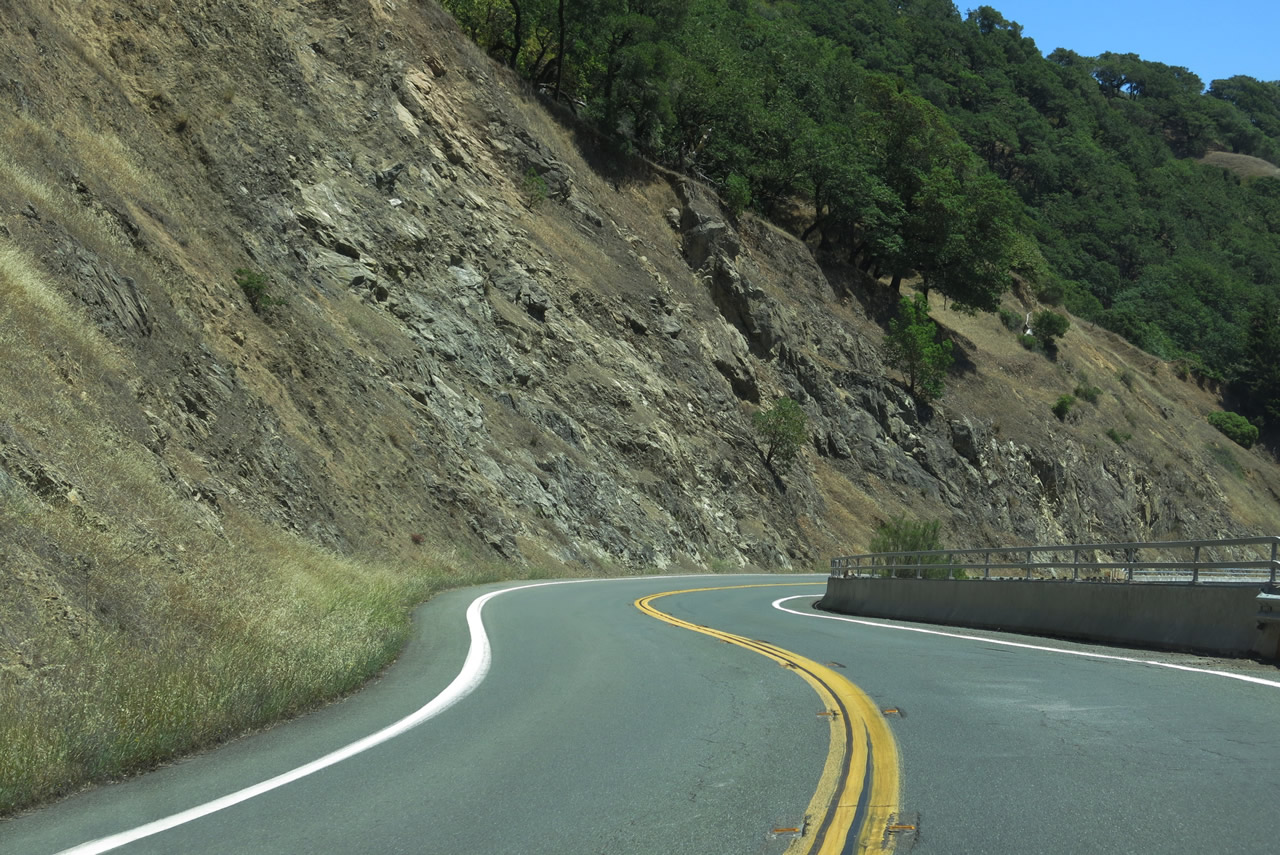
Navigation through an array of S-curves, SR 253 (Booneville Ukiah Road) climbs to over 2,000 feet above sea level by post mile 10.00.
07/05/13
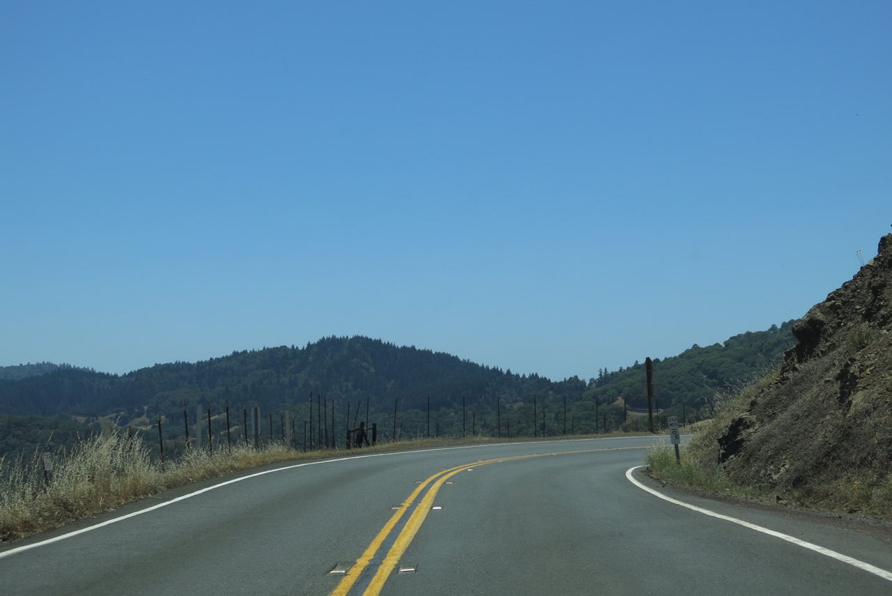
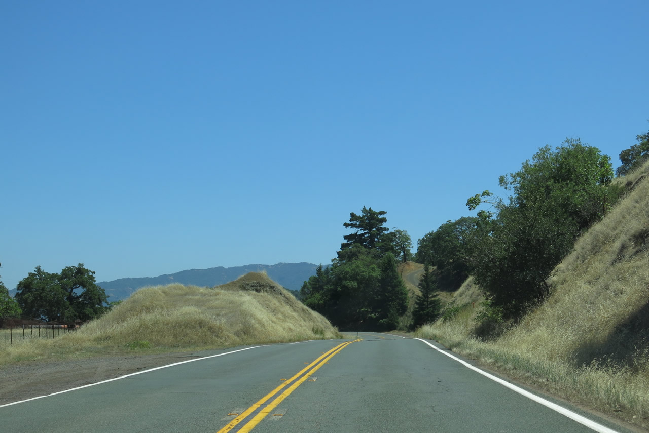
Pine Ridge rises near the midpoint of California 253, and then Booneville Ukiah Road descends into Bell Valley.
07/05/13
Generally traveling west, SR 253 parallels Soda Creek west through Bell Valley to Soda Spring. The state route crosses Soda Creek at post mile 3.84.
07/05/13
Making a gradual turn to the west into Anderson Valley, which is part of the Navarro River watershed, SR 253 advances by hills and ranch land.
07/05/13
Crossing Anderson Creek at post mile 0.57, SR 253 west reaches the census designated place of Boonville.
07/05/13
SR 253 passes by the Anderson Valley Brewing Company just prior to the junction with SR 128.
07/05/13
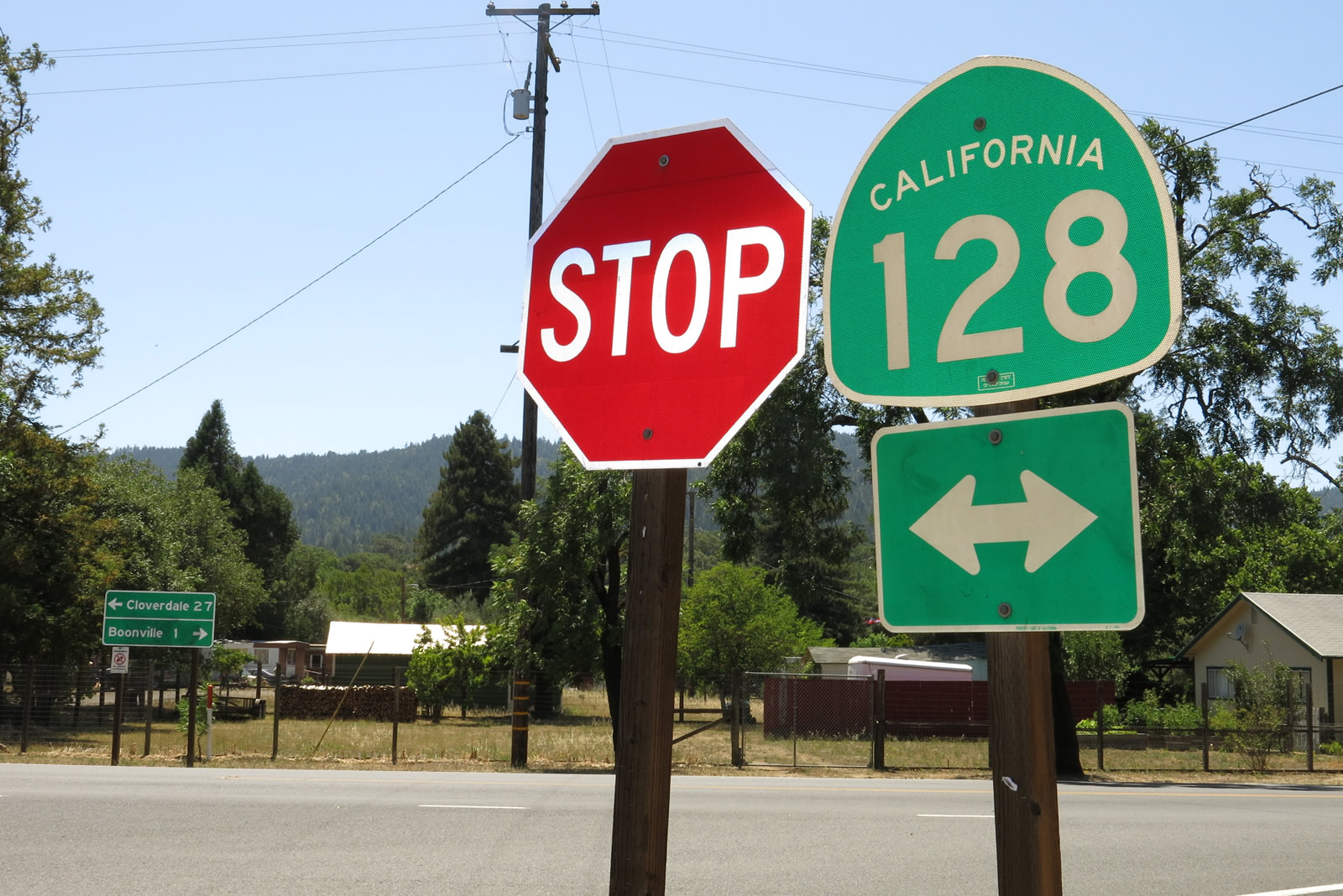
SR 253 west ties into SR 129 at Booneville. SR 128 travels southeast to U.S. 101 at Cloverdale and northwest from Boonville and Anderson Valley to SR 1 just off the Pacific Ocean.
07/05/13
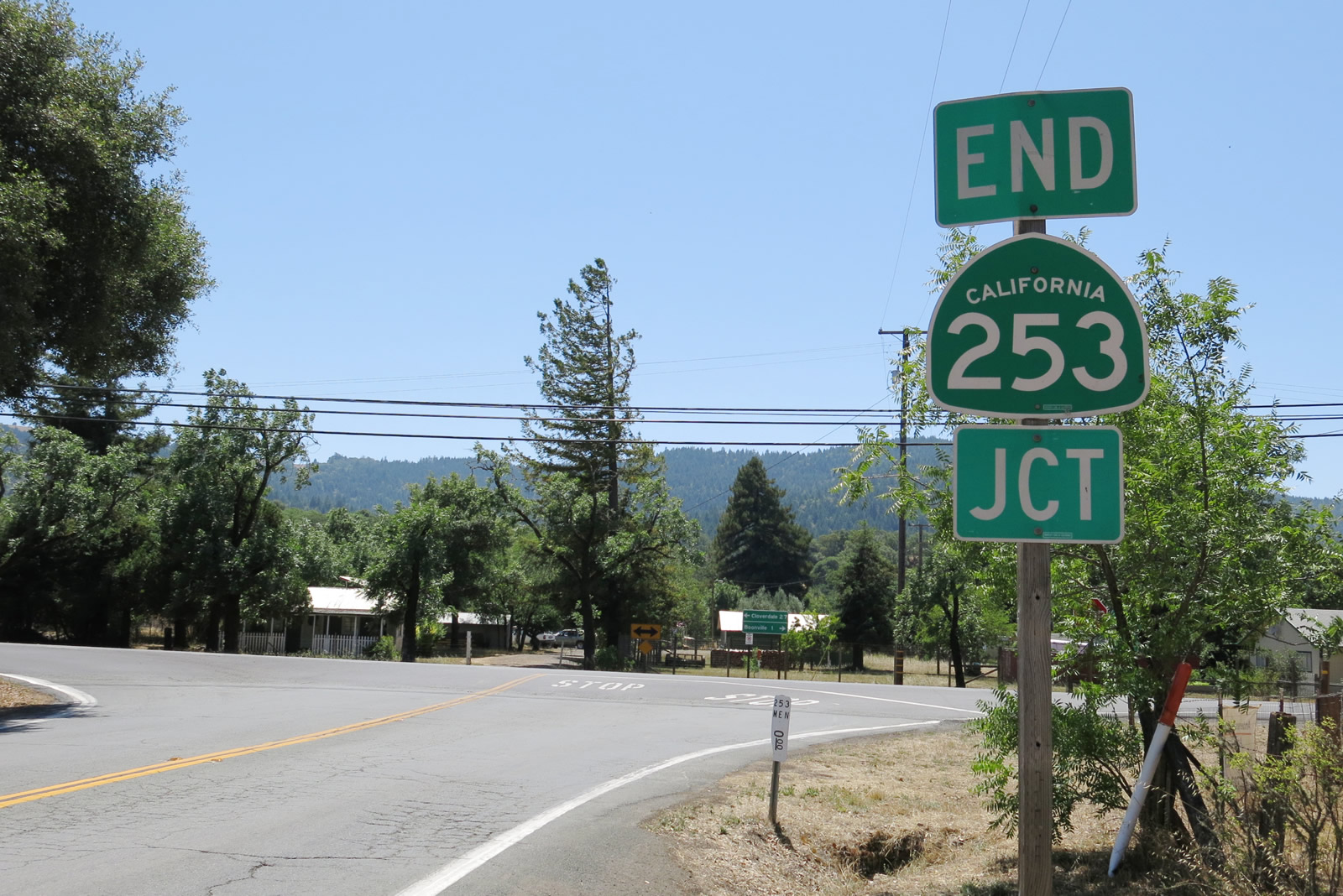
The end shield for SR 253 was added where a SR 128 shield was in 2013. The entire assembly was replaced by 2016.
07/05/13
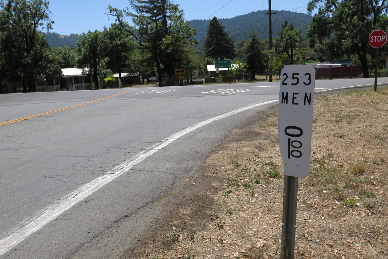
A zero postmile marker is located near the end shield. California 253 remains in Mendocino County for its entire length.
07/05/13
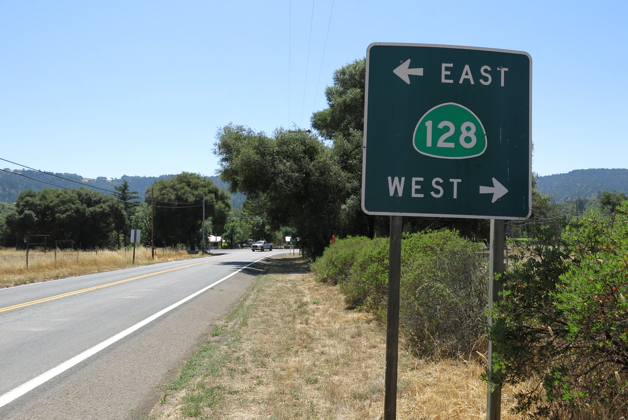
California 128 east leads to Yorkville while the route west heads to Hendy Woods State Park, which features redwood groves along the Navarro River,.
07/05/13
Photo Credits:
- Andy Field: 05/25/06, 07/05/13
Connect with:
Page Updated Monday September 02, 2013.