
State Route 146
California 146 is a split route, with a western branch serving the west entrance (from U.S. 101) to Pinnacles National Monument and an eastern branch that accesses the east entrance (from California 25). The disjointed route does not connect through the park.
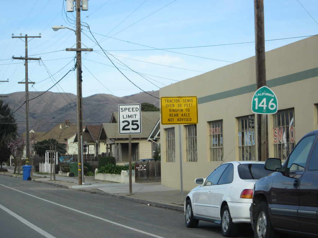
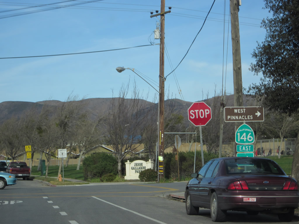
This California 146 east reasssurance shield is located along East Street after separating from U.S. 101 Business (Front Street) in Downtown Soledad. From here, California 146 travels east from here to the west entrance of Pinnacles National Monument. It does not connect to California 25 or the east entrance of Pinnacles National Monument.
02/20/12
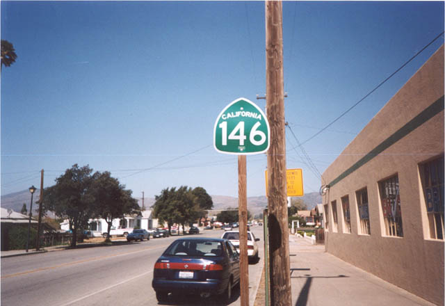
This California 146 east reasssurance shield is located along East Street after separating from U.S. 101 Business (Front Street) in downtown Soledad. From here, California 146 travels east from here to the west entrance of Pinnacles National Monument. It does not connect to California 25 or the east entrance of Pinnacles National Monument.
2002
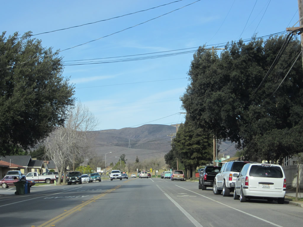
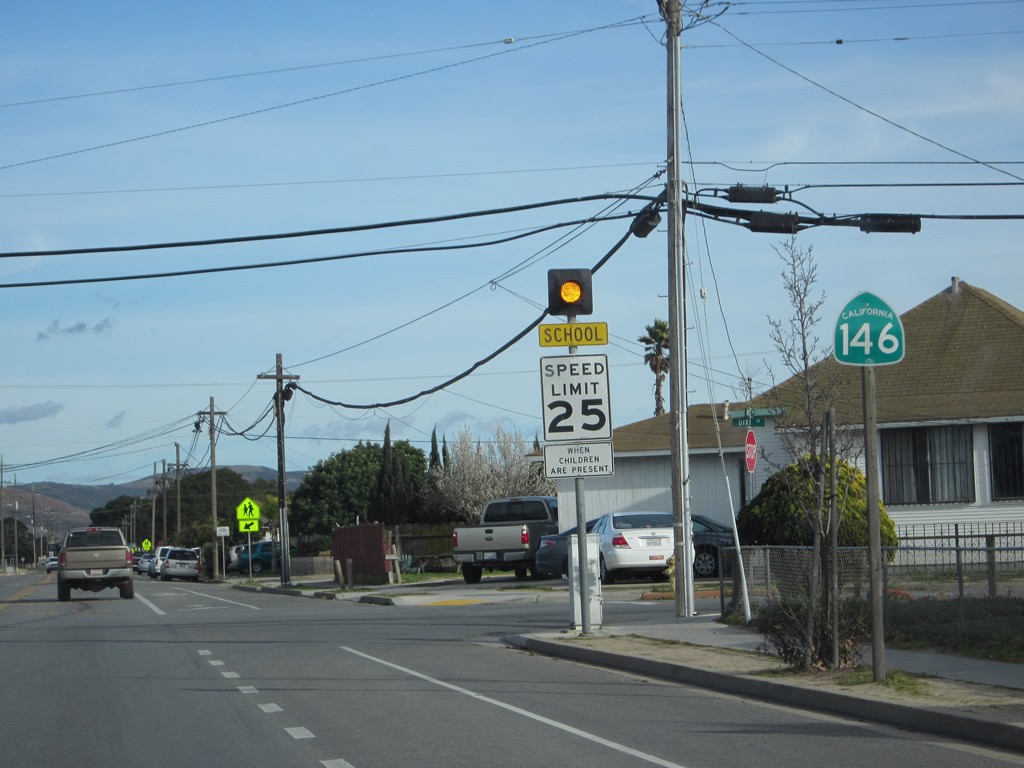
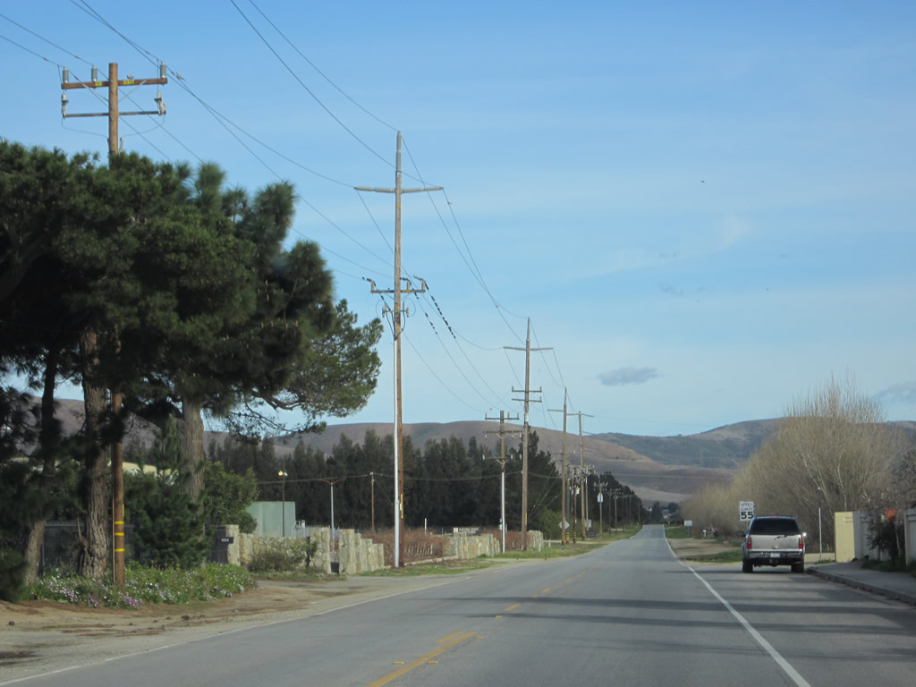
California 146 leaves downtown Soledad and enters a residential area to the northeast. The state route will continue along East Street for a few more blocks, then turn right (southeast) onto Metz Road.
02/20/12
Eastbound California 146/East Street meets Metz Road at this stop sign. Turn right onto Metz Road for the continuation of California 146 to Pinnacles National Monument and to Monterey County G-15 (Metz Road) south to King City.
02/20/12
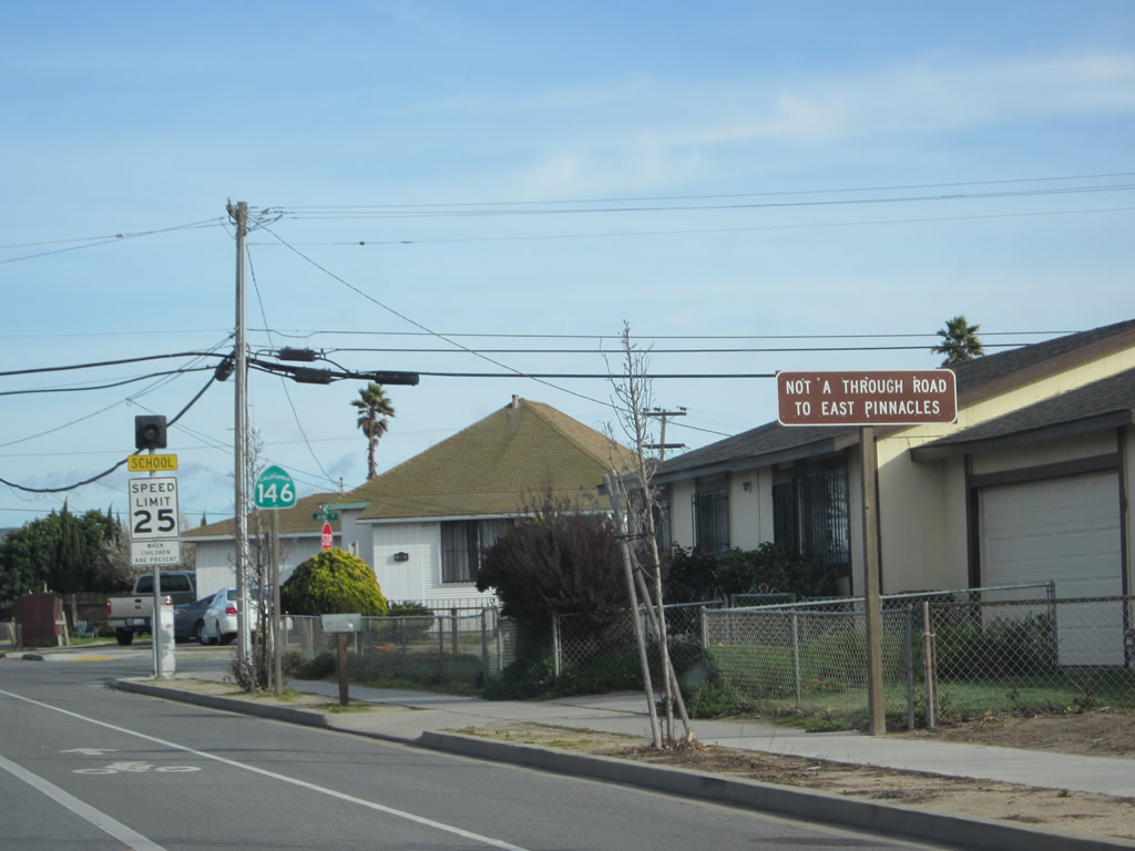
A route gap separates the western section of California 146 from the eastern section. As a result, there is no direct connection between the two segments of California 146, and there are no plans to connect them together.
02/20/12
A California 146 reassurance shield is posted along south-eastbound Metz Road after East Street and prior to the intersection with Dixi Street.
02/20/12
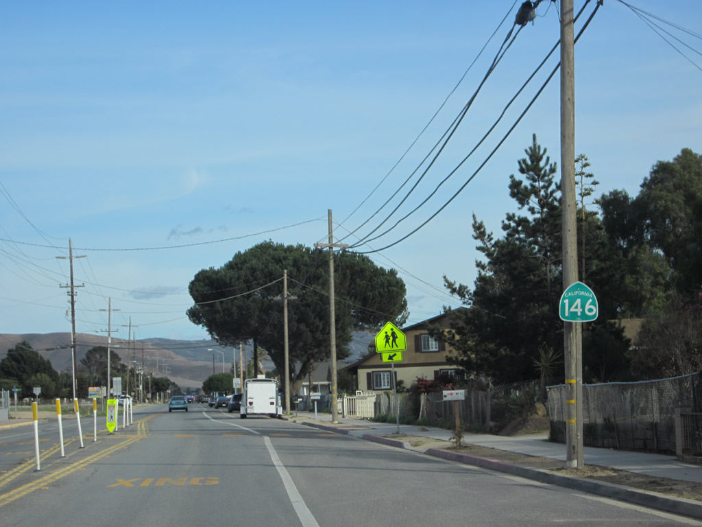
Another California 146 reassurance shield is posted a few blocks further southeast along Metz Road near Gabilan and San Vicente Elementary Schools.
02/20/12
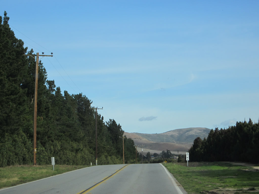
California 146 leaves the residential area of Soledad and enters rural, agricultural lands.
02/20/12
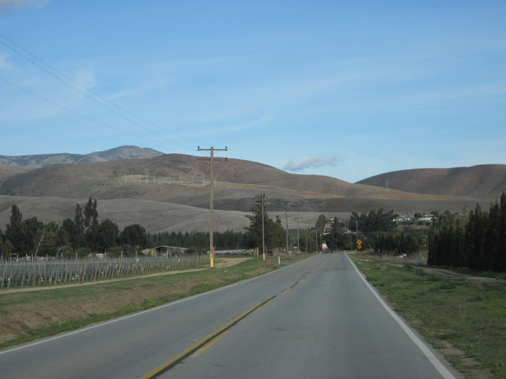
While in the Salinas River Valley, California 146 sees agricultural lands, but once it enters the foothills en route to the national monument, it will become much drier and less fertile.
02/20/12
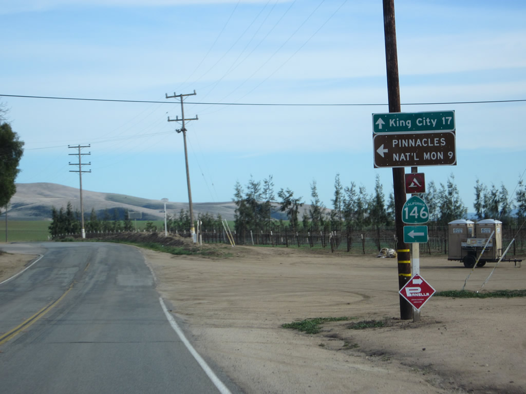
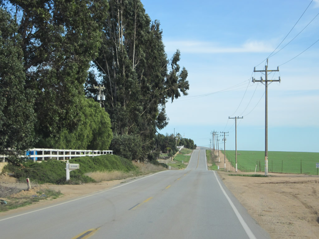
Eastbound California 146 turns east on Shirtail Canyon Road. California 146 will follow Shirtail Canyon Road into the foothills, ultimately connecting to recreational access points in Pinnacles National Monument. The state route narrows to one and a half lanes for the final distance to its end (beginning of route gap) in the monument. Ahead, Monterey County G-15 takes over Metz Road for the journey south to King City (17 miles). G-15 ultimately connects to U.S. 101 in King City.
02/20/12
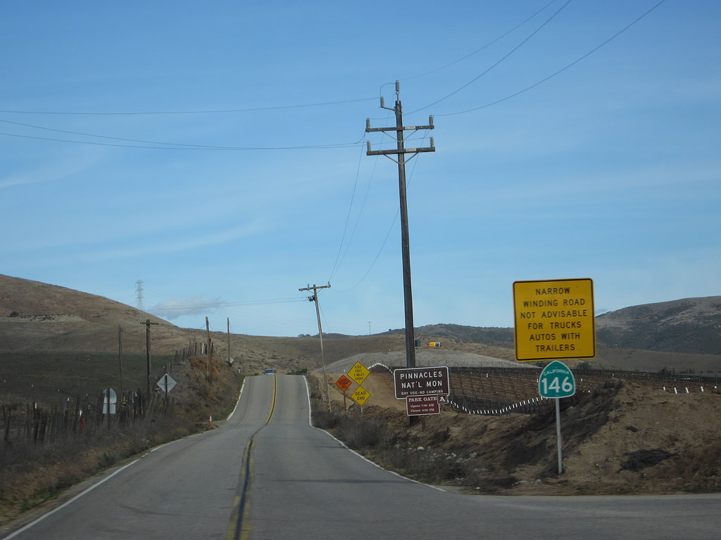
Leaving Metz Road, eastbound California 146 (Shirtail Canyon Road) enters the foothills en route to Pinnacles National Monument. The highway only has nine miles left until it dead ends at a parking lot within the monument. California 146 will retain two lanes in each direction until the intersection with Ramus Road; at that point, California 146 will narrow to one and a half lanes (similar to California 229 in San Luis Obispo County).
02/20/12
Photo Credits:
- Andy Field: 02/20/12
- Trevor Carrier: 2002
Connect with:
Page Updated Wednesday February 22, 2012.