
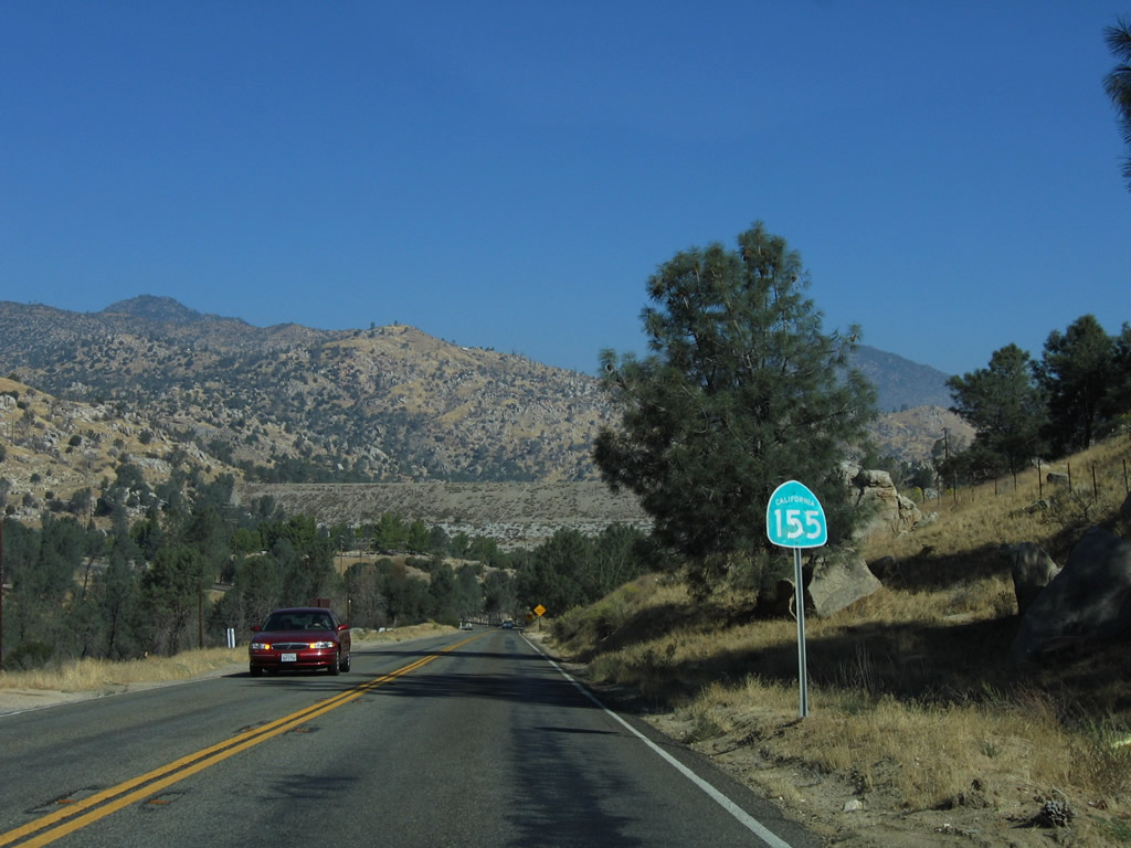
State Route 155

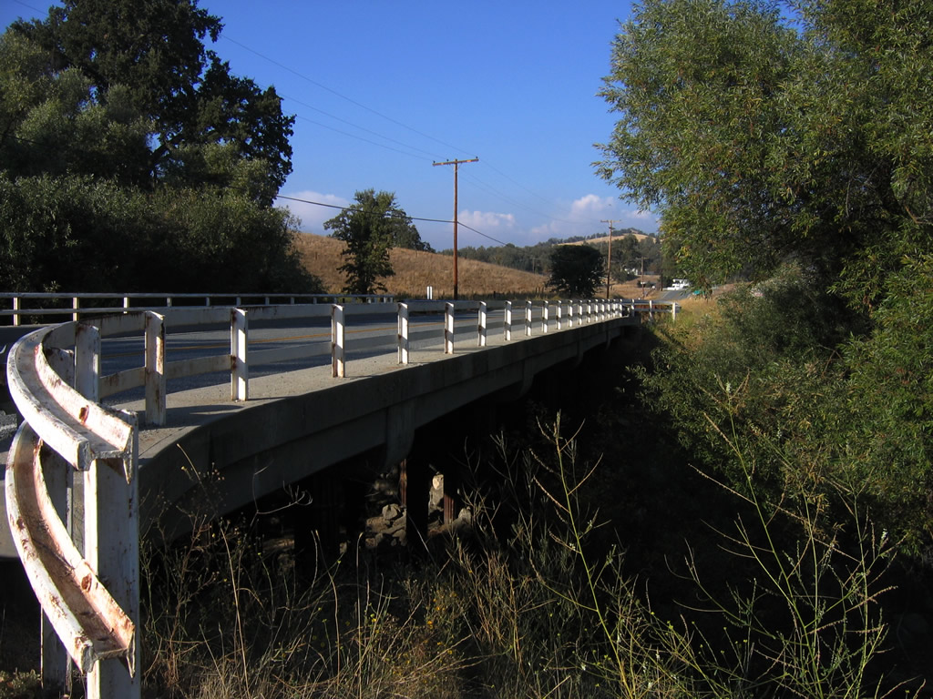
California State Route 155 crossing the French Gulch Bridge over an arm of Isabella Reservoir. Photo by Erik Fox. - 10/15/2006
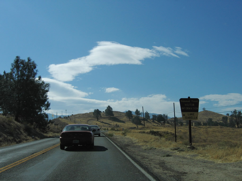
California 155 connects Delano with Lake Isabella, crossing the Greenhorn Mountains along the way. It is a very winding and slow route due to the steep grades and construction designed to keep the road true to the contours of the landscape. At the east end, California 155 turns south at Wofford Heights to follow the west shore of Isabella Reservoir, connecting to the town of Lake Isabella and California 178 freeway.
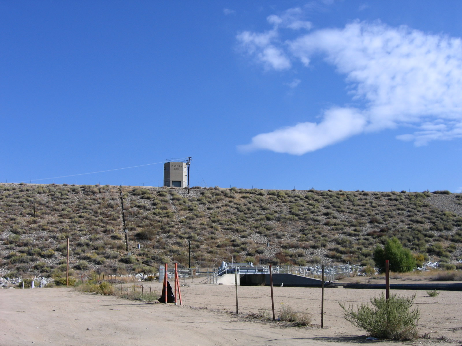
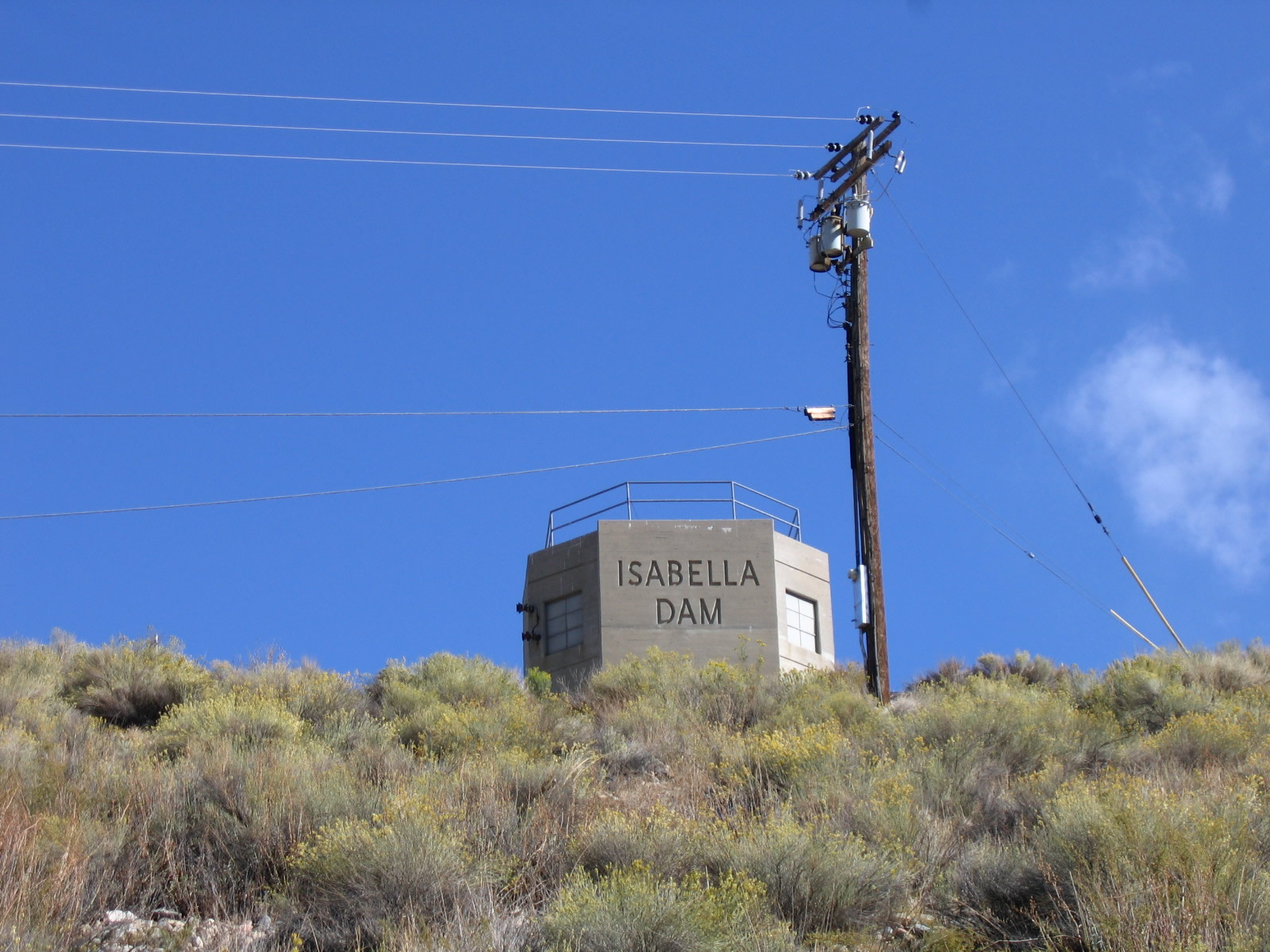
Authorized in 1948 and completed in March 1953, Isabella Dam holds back water from the Kern River. This project was built to protect against downstream flooding, but it has ancillary uses for hydroelectric power and water supply for urban and agricultural use in the Central Valley. 10/08/06.
Eastbound SR 155 (Garces Highway) begins in the city of Delano at the RIRO ramps (Exit 56) connecting SR 99 with 9th Avenue. SR 155 follows the frontage streets to the freeway south four blocks to Garces Highway, which leads the route east from SR 99.
10/08/06
The first confirming marker for SR 155 east appears at the intersection of Garces Highway and Fremont Street, the east side frontage road for SR 99. Few if any reassurance shields along the state route have a cardinal directional banner.
10/08/06
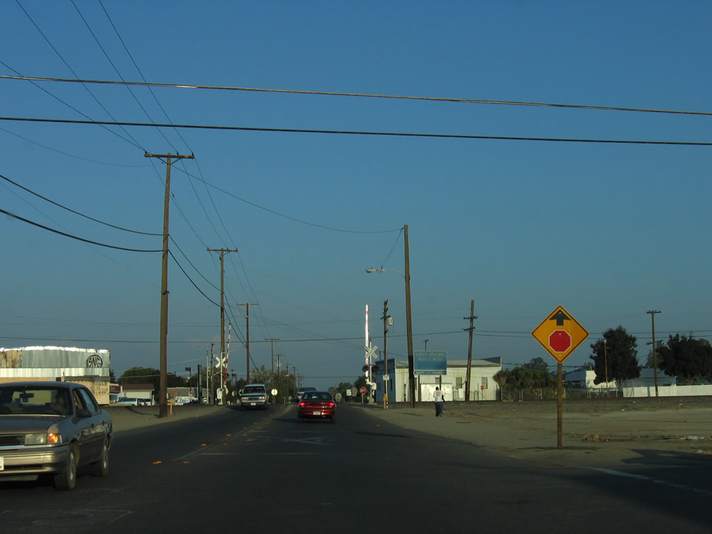
Garces Highway crosses the Union Pacific Railroad ahead of SR 99 Business (High Street / old U.S. 99) south to Bakersfield.
10/08/06
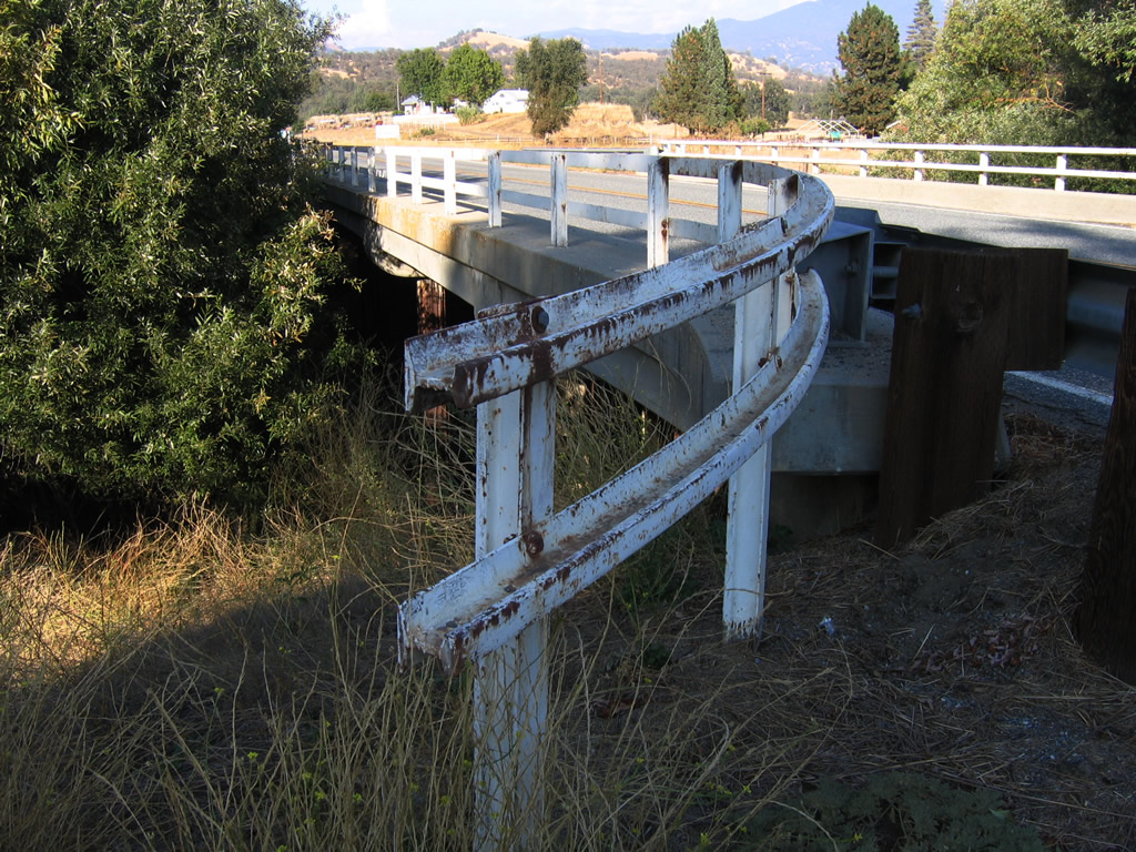
Built in 1943, this bridge carries California 155 (Garces Highway) over Poso Creek west of Glennville. Due to the war effort at the time, old railroad surplus items were reused for this bridge, including the railing.
10/08/06
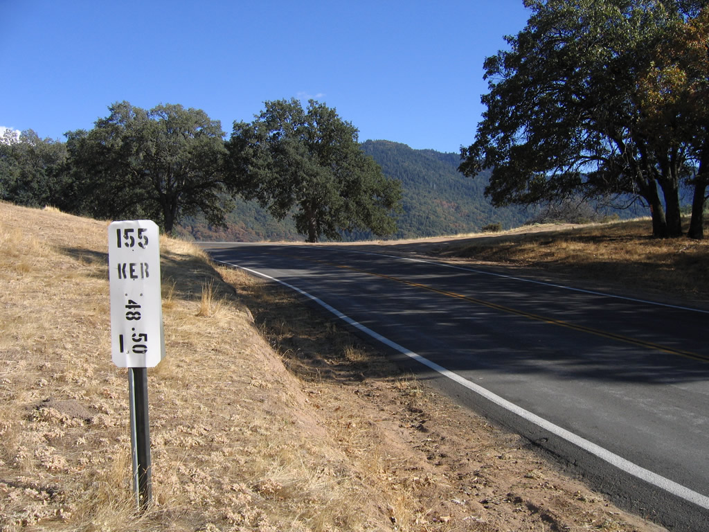
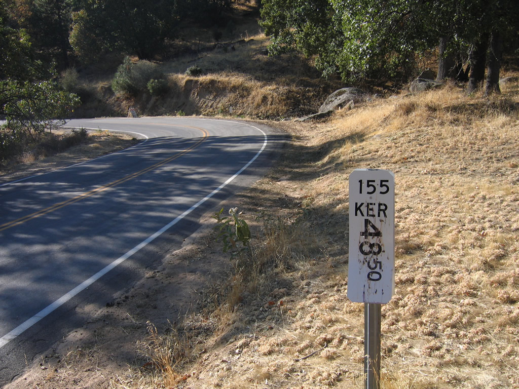
Postmile 48.50 for SR 155 is located south of Bohna Peak in the Greenhorn Mountains.
10/08/06
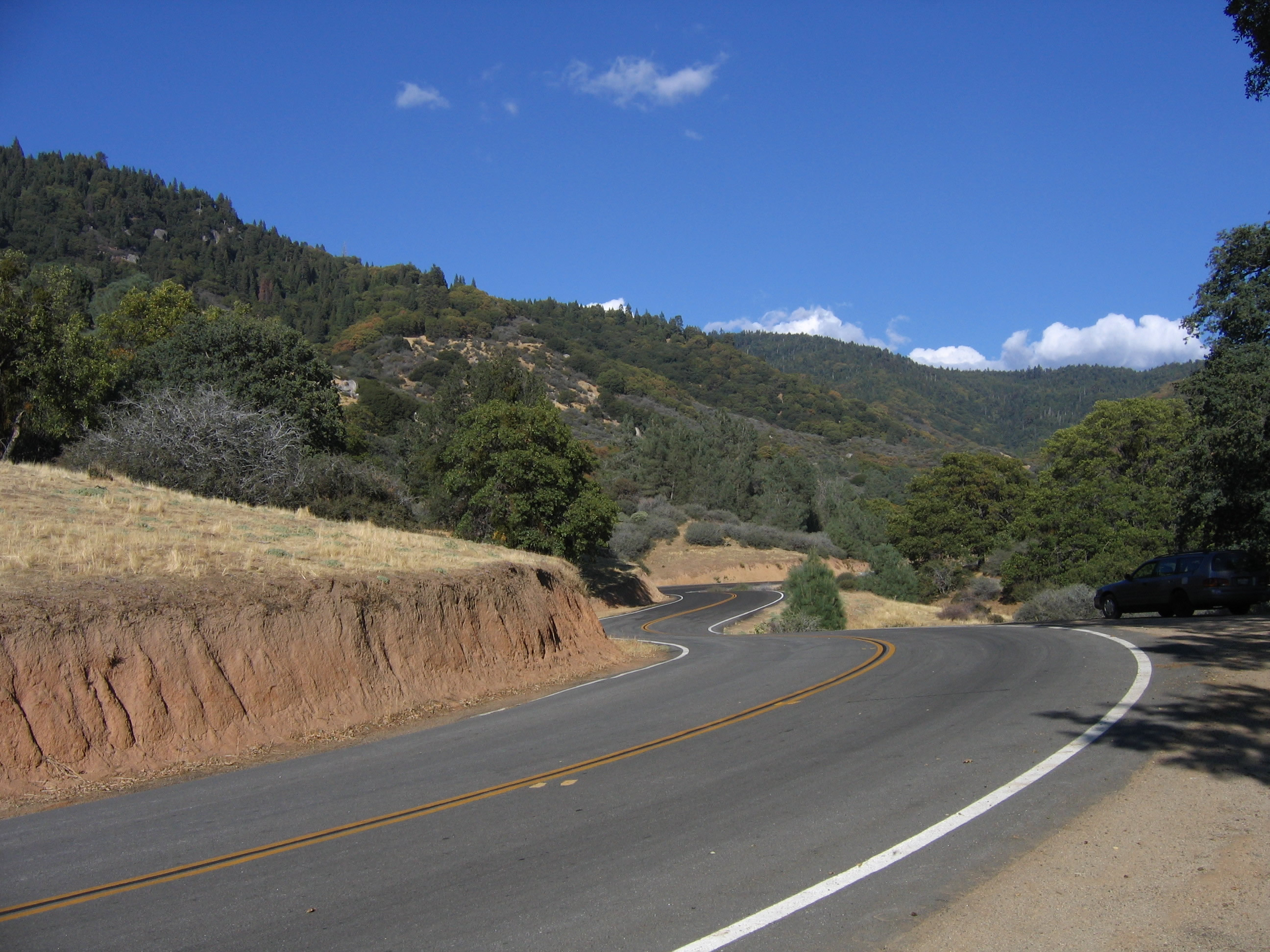
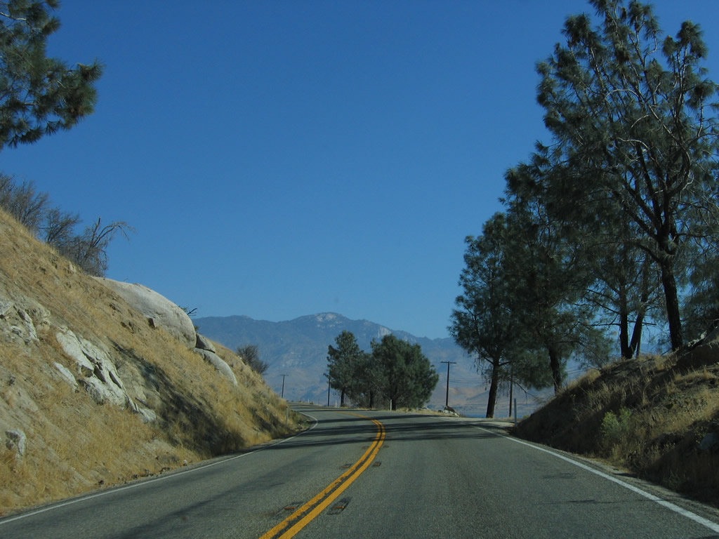
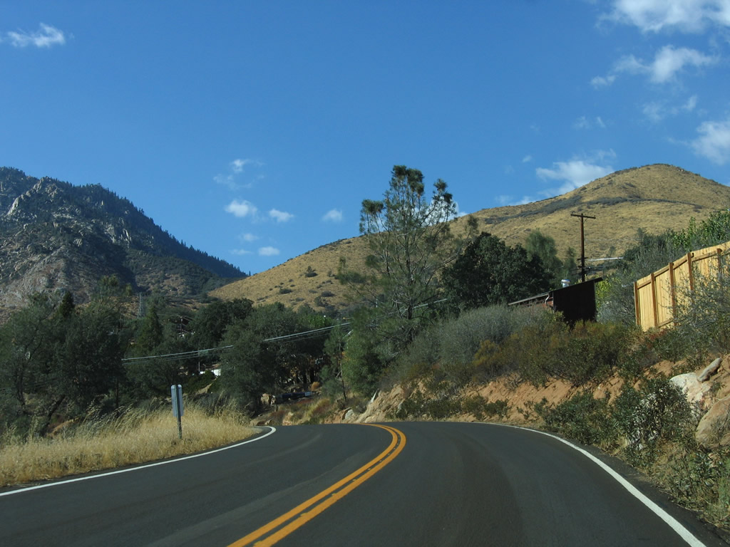
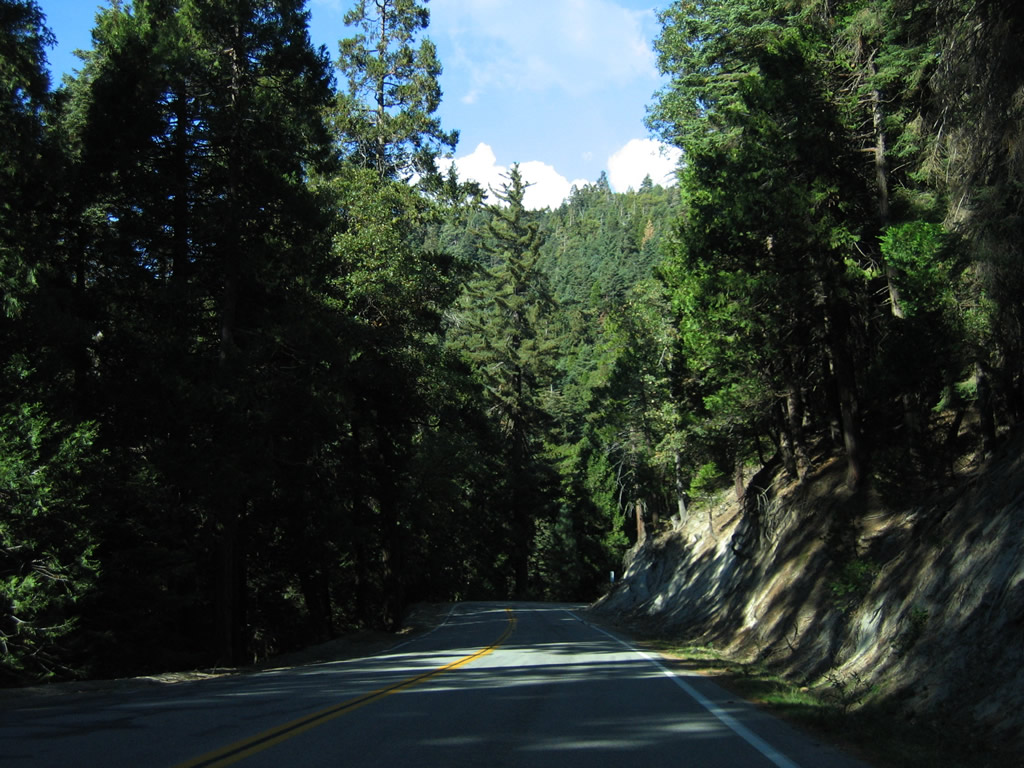
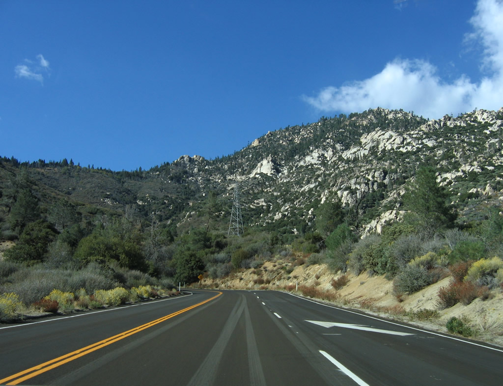
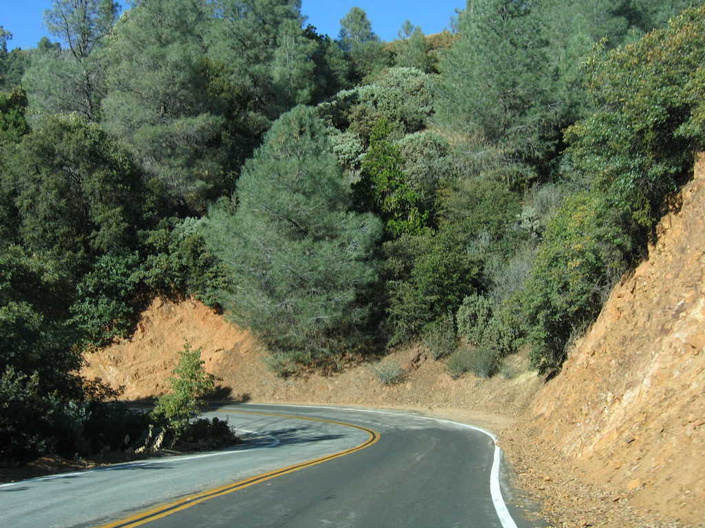
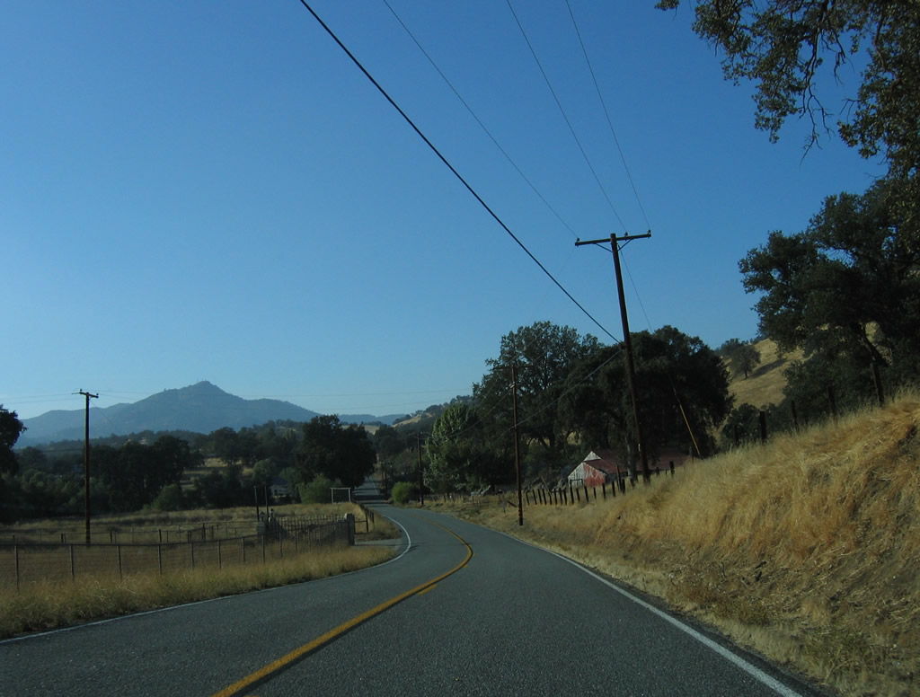
California 155 (Garces Highway) continues east toward Greenhorn Summit along a slow and winding course.
10/08/06
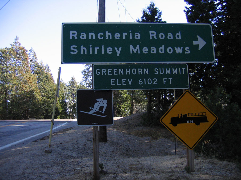
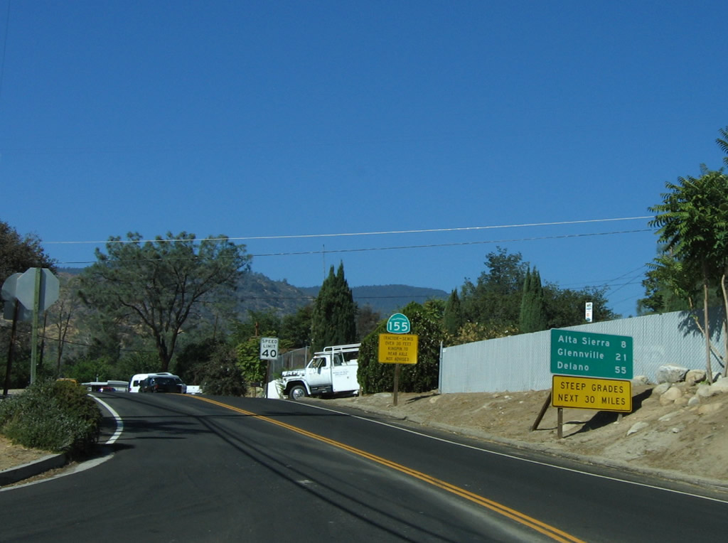
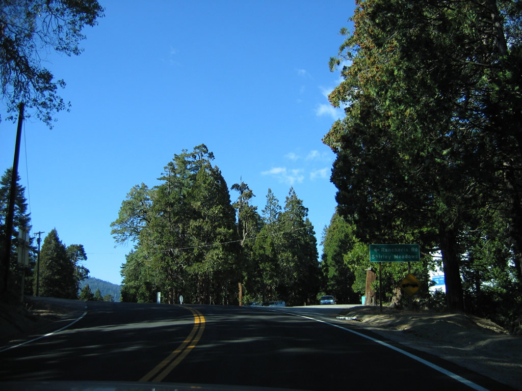
The highest point along SR 155 is at Greenhorn Summit (el. 6,102 feet), where Garces Highway meets Rancheria Road south to Shirley Meadows. .
10/08/06
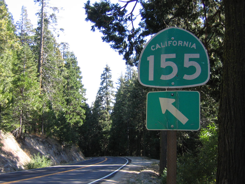
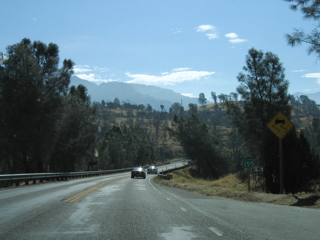
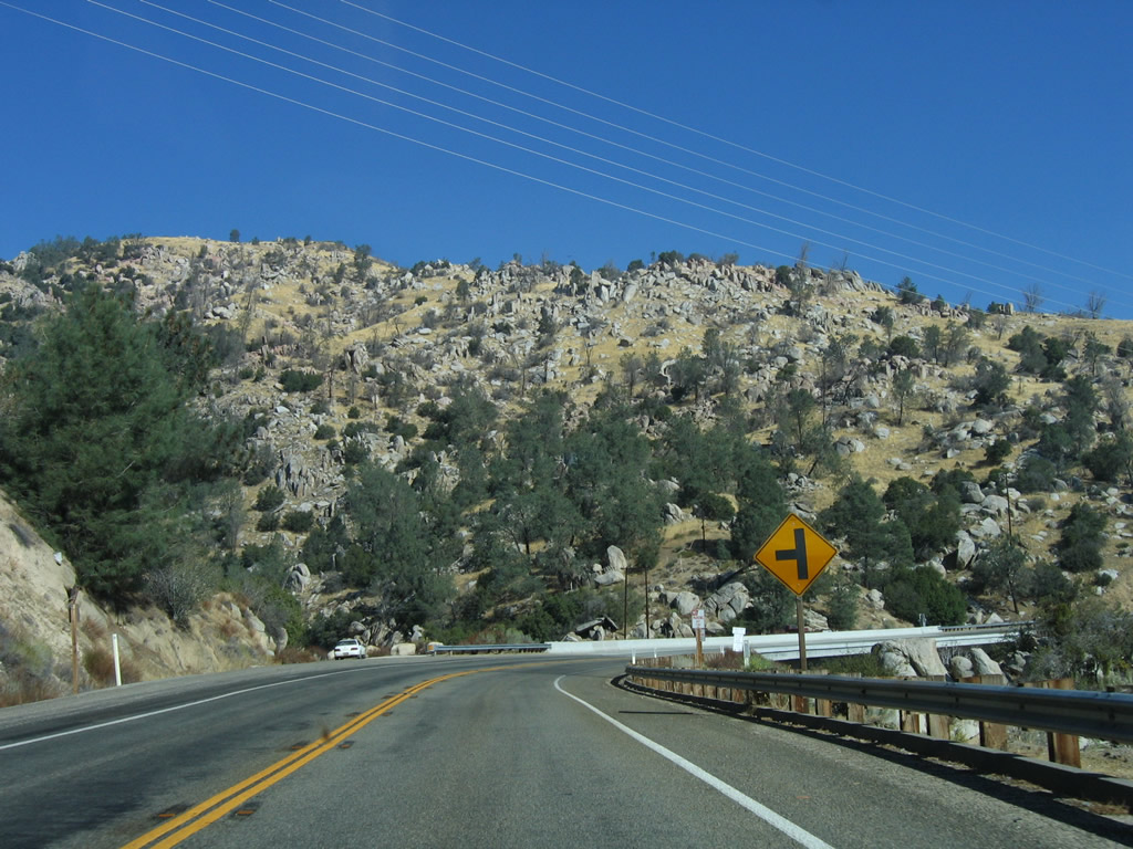
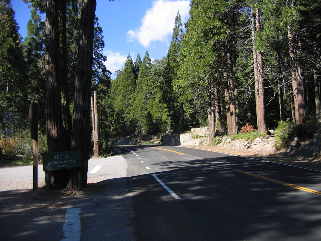
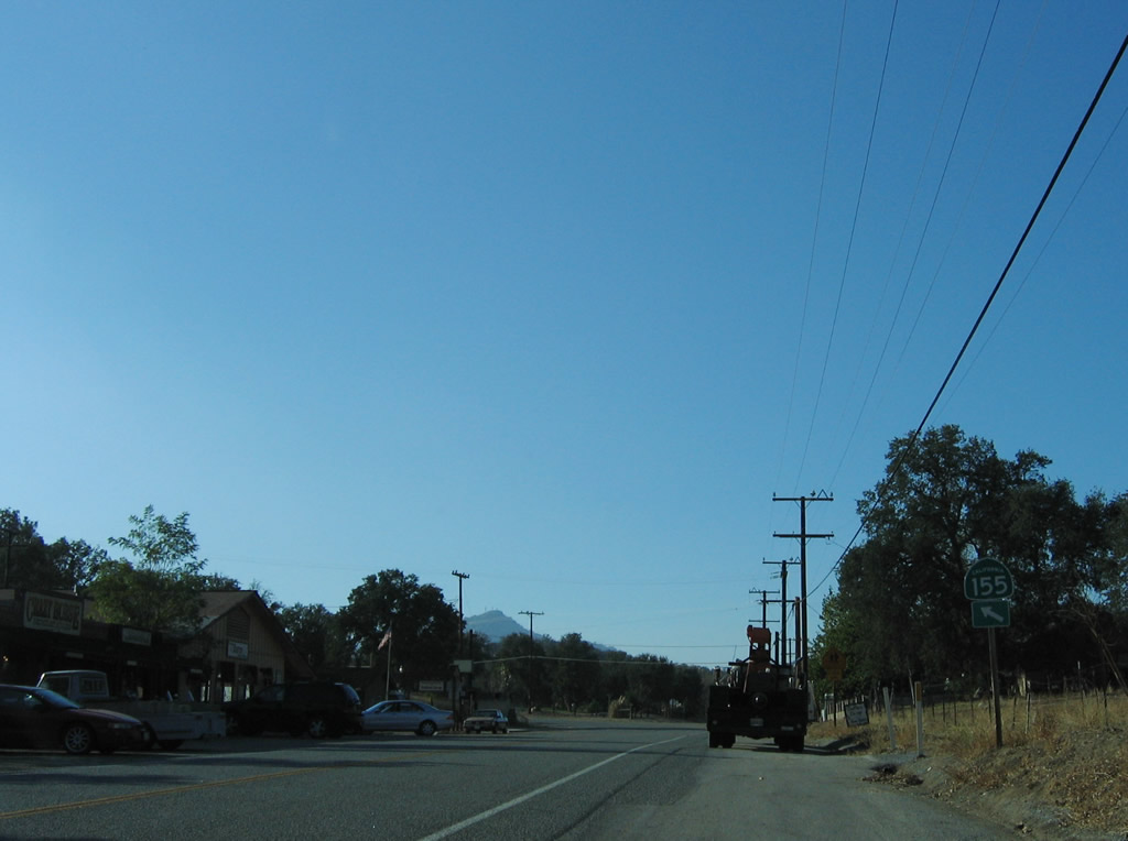
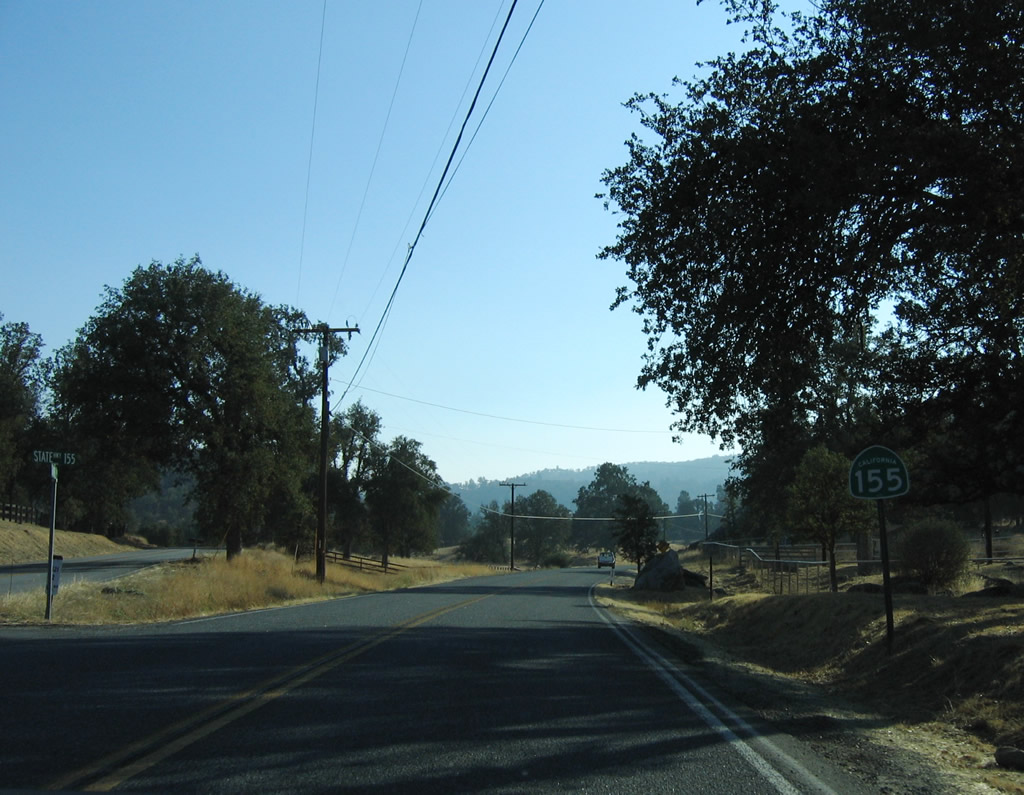
This California 155 east trailblazer is posted after the intersection between Garces Highway and Old State Highway in Greenhorn Mountain County Park.
10/08/06
Traveling south along Wofford Boulevard just south of Wofford Heights, the state highway passes through scenic foothills and woodlands.
10/08/06
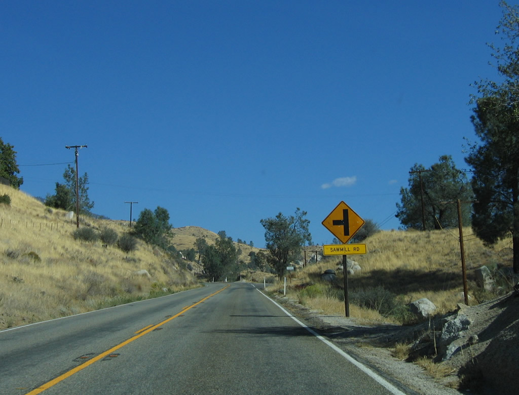
South from Sawmill Road, California 155 follows the eastern shore of Lake Isabella reservoir and changes names to Kernville Road.
10/08/06
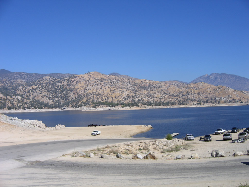
The Lake Isabella reservoir comes into view along southbound Kernville Road.
10/08/06
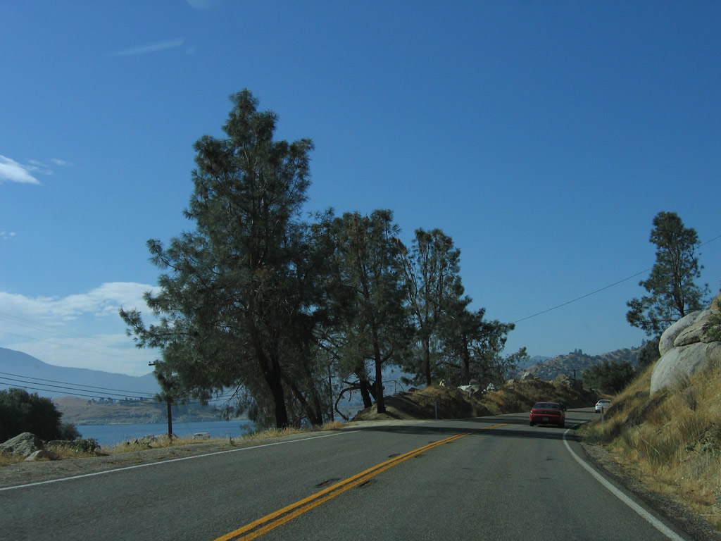
Southbound California 155 (Kernville Road) at the turnoff for French Gulch Recreation Site along Isabella Lake.
10/08/06
SR 155 curves southwest by French Gulch beyond this reassurance shield.
10/08/06
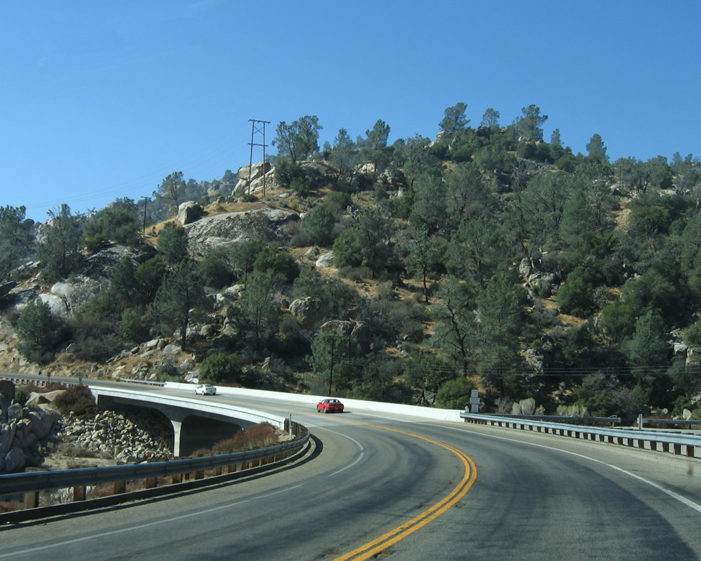
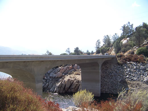
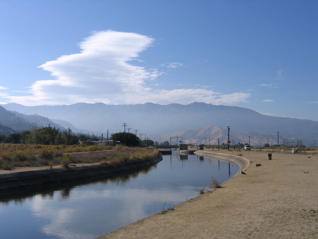
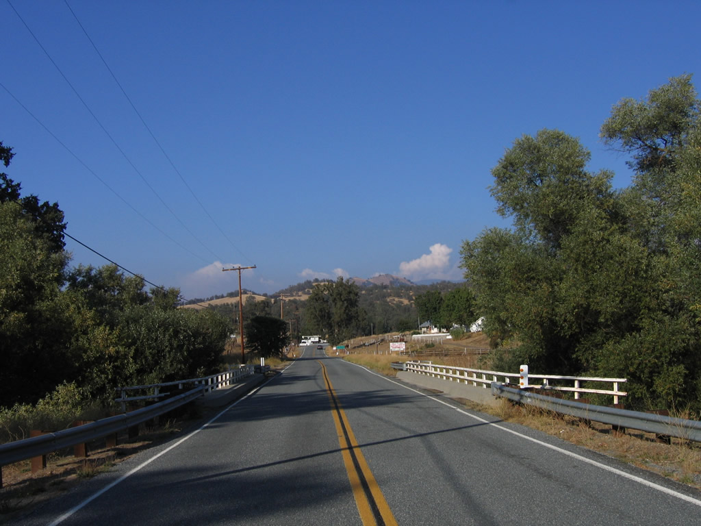
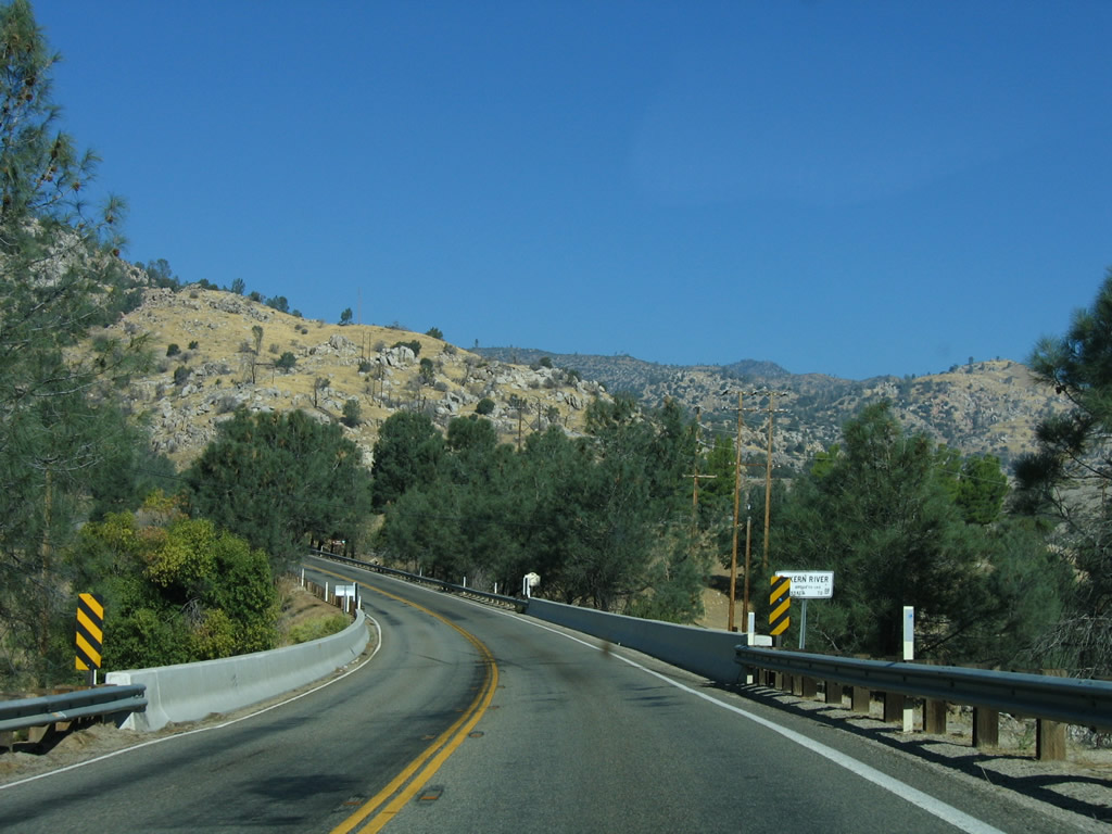
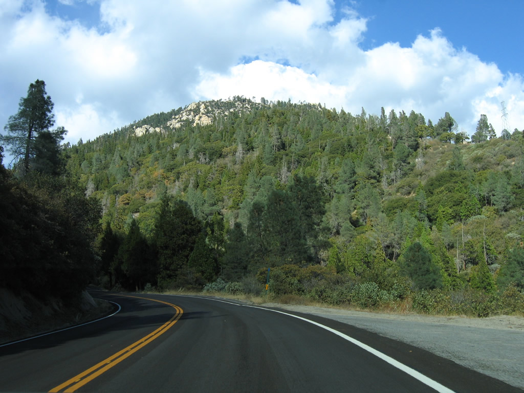
Southbound California 155 crosses the French Gulch Bridge over an arm of Isabella Lake at postmile 68.71.
10/08/06
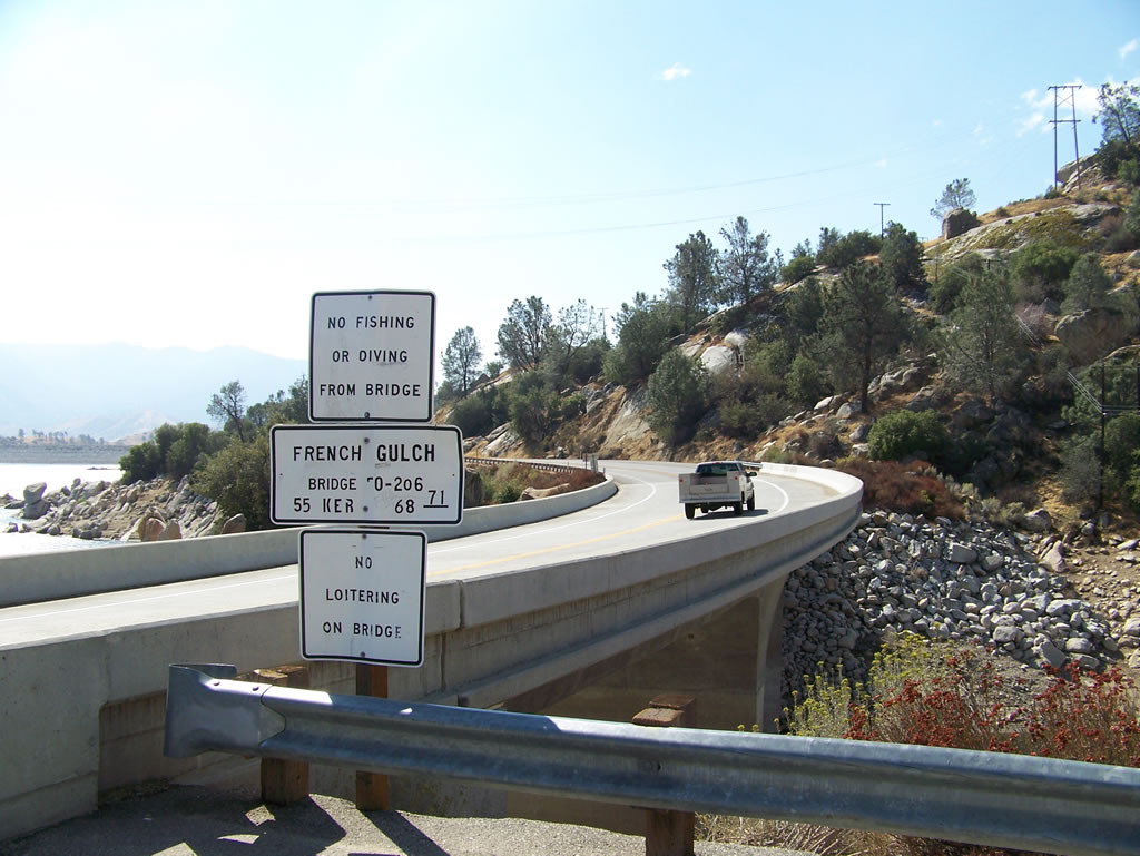
Southbound California 155 crosses the French Gulch Bridge over an arm of Isabella Lake at postmile 68.71. Photo taken by Erik Fox (10/15/06).
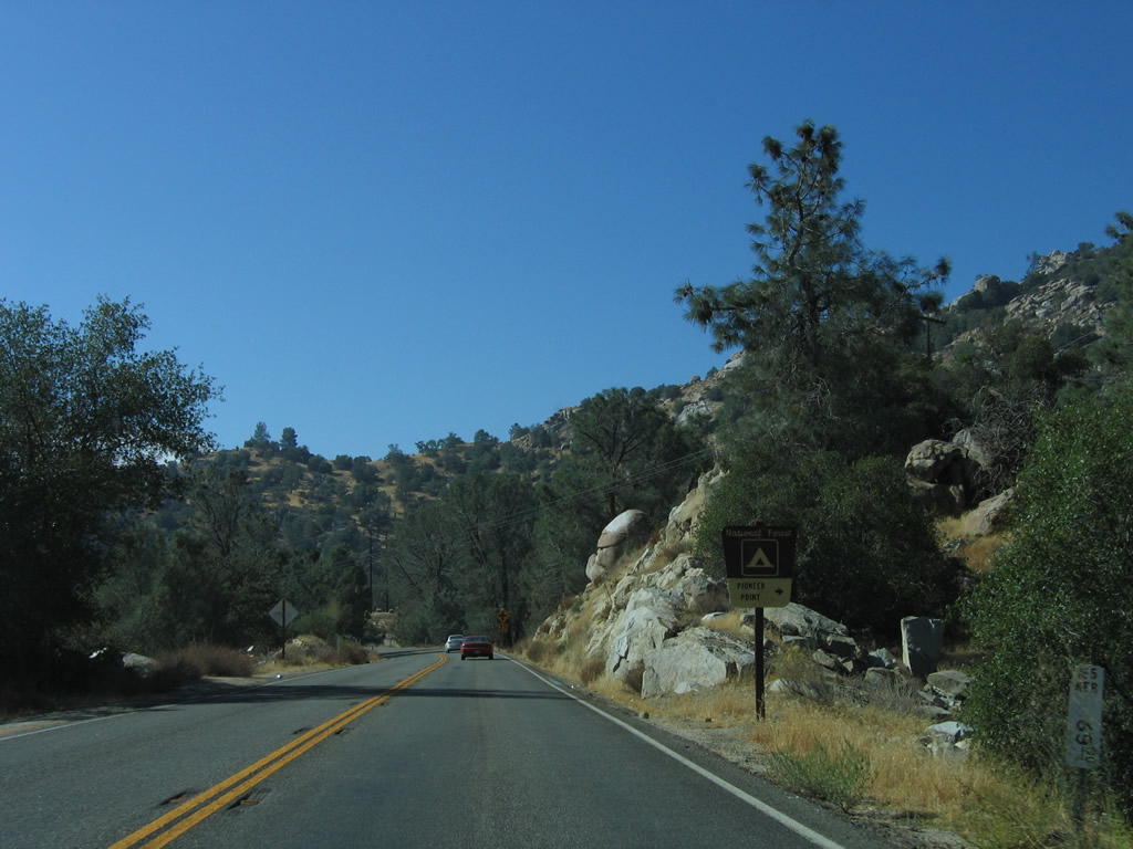
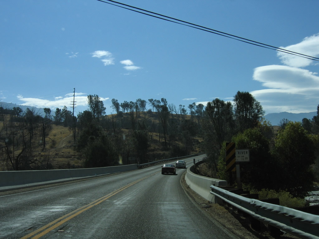
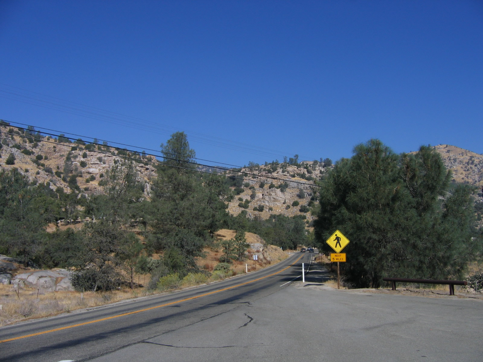
Eastbound California 155 (Kernville Road) approaches the Pioneer Point campground turnoff.
10/08/06
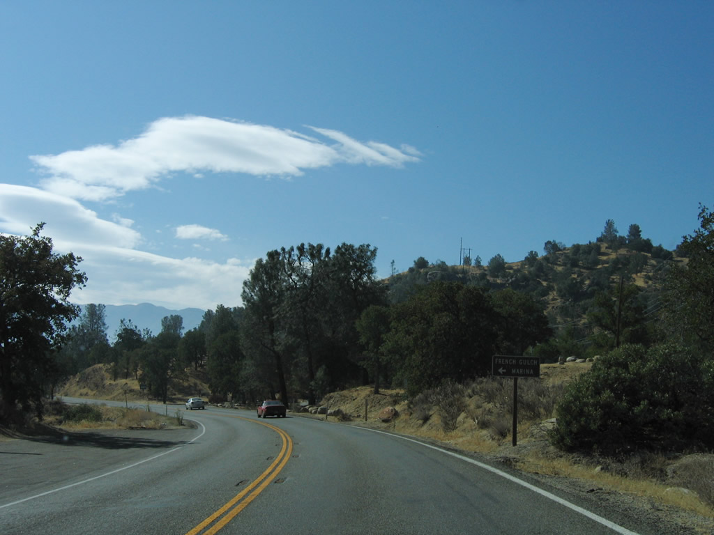
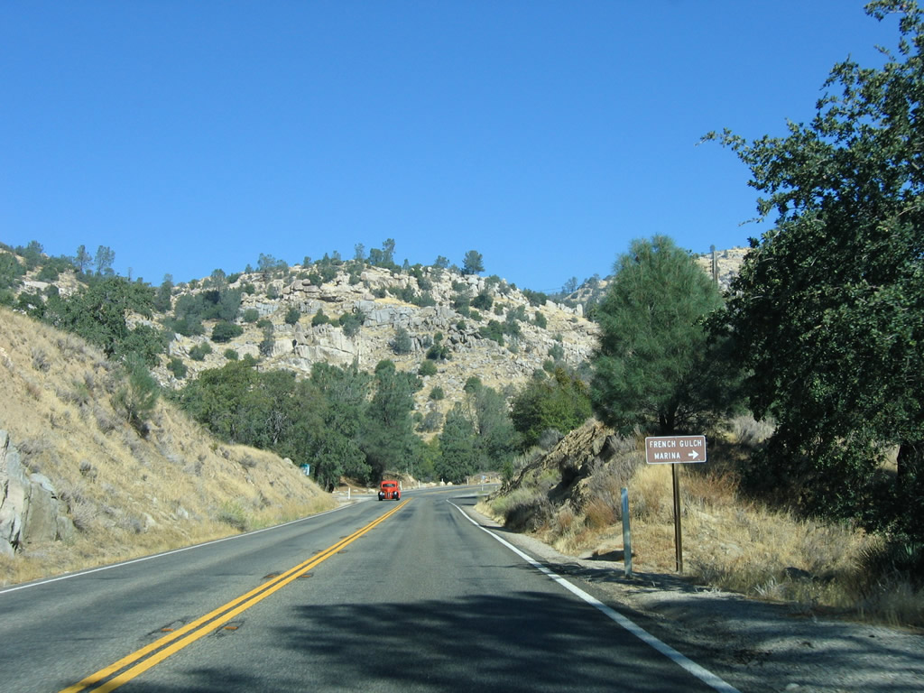
Turn left ahead for the French Gulch Marina.
10/08/06
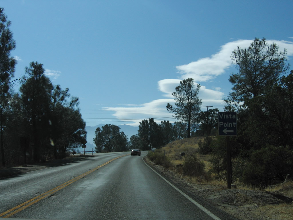
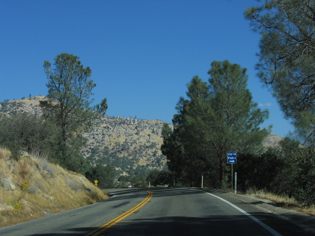
A vista point is located ahead on the left of California 155 (Kernville Road).
10/08/06
After the Keyesville Road turnoff, a California 155 reassurance shield is posted along southbound Kernville Road.
10/08/06
The next turnoff from California 155 (Kernville Road) is the Pioneer Point campground turnoff.
10/08/06

Eastbound California 155 (Kernville Road) crosses over the Kern River, which spills out of the Isabella Dam complex.
10/08/06
The next left turn leads from California 155 (Kernville Road) to the Isabella Dam visitors center and boat ramp.
10/08/06
California 155 (Kernville Road) enters the unincorporated community of Lake Isabella.
10/08/06
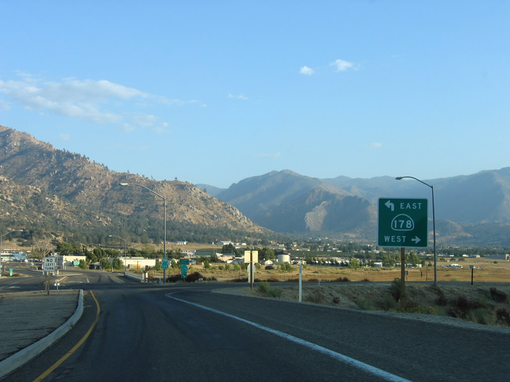
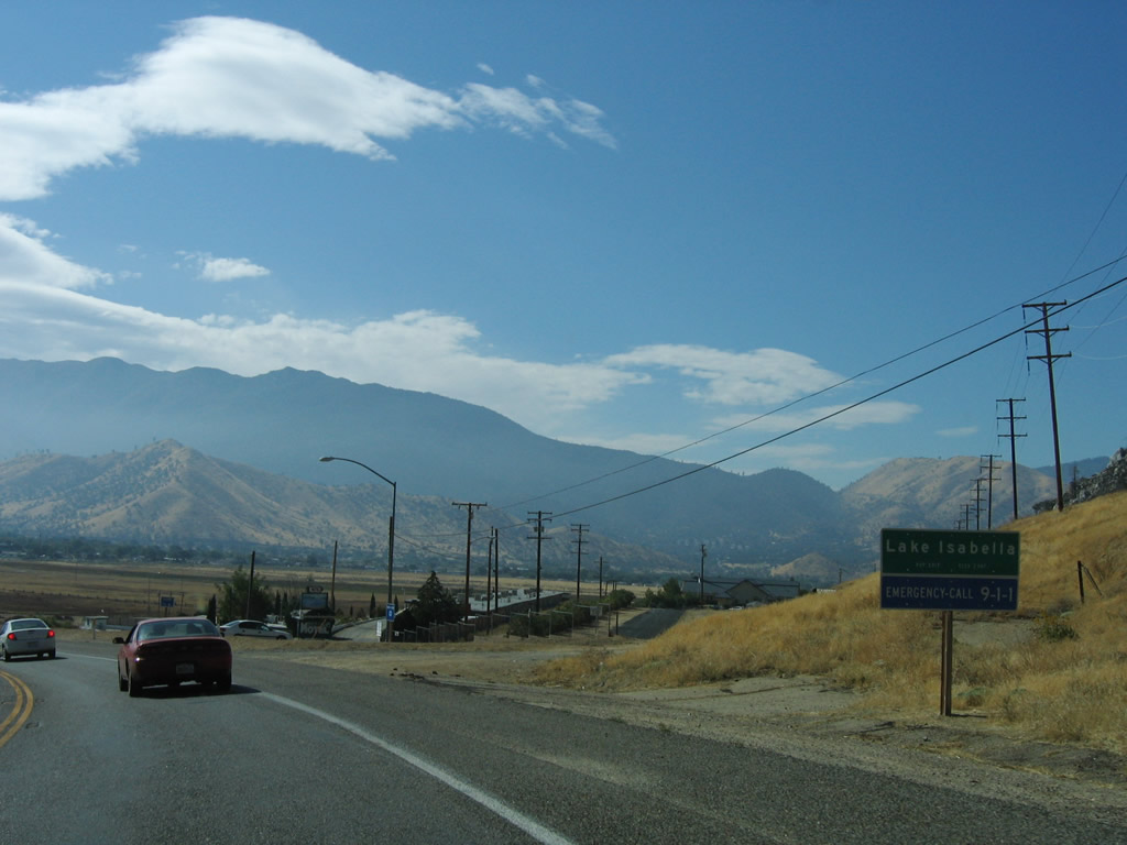
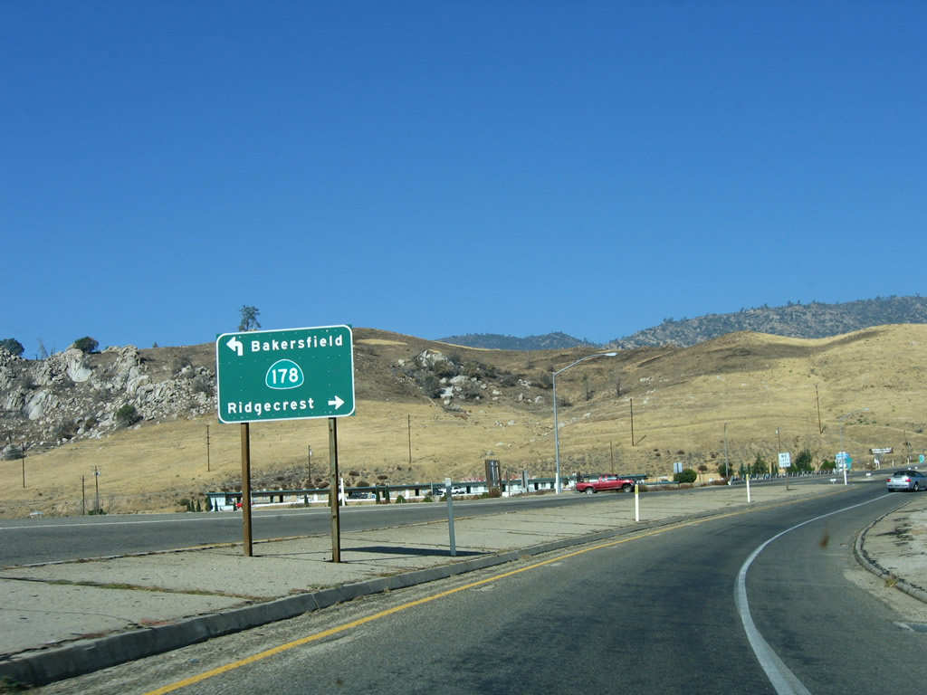
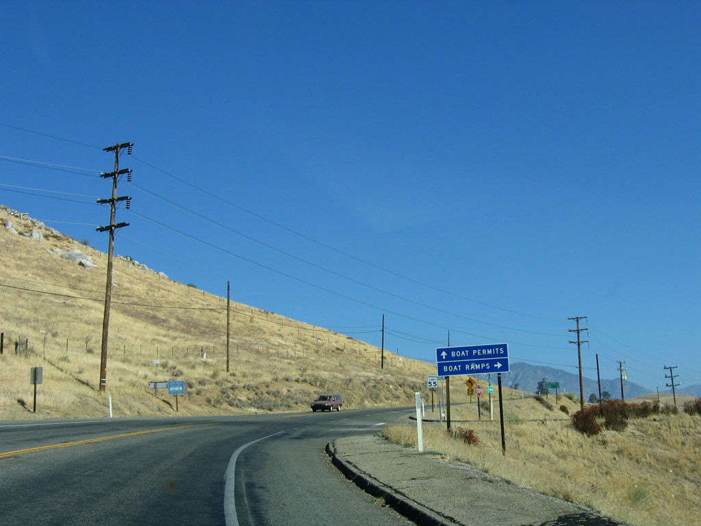
Lowering into Hot Spring Valley, SR 155 converges with SR 178, the Isabella Bypass. The highway travels east toward Walker Pass, Freeman Junction, and Ridgecrest. To the west, SR 178 leads into the narrow Kern River Canyon, then emerges in Bakersfield, ending at SR 99.
10/07/06
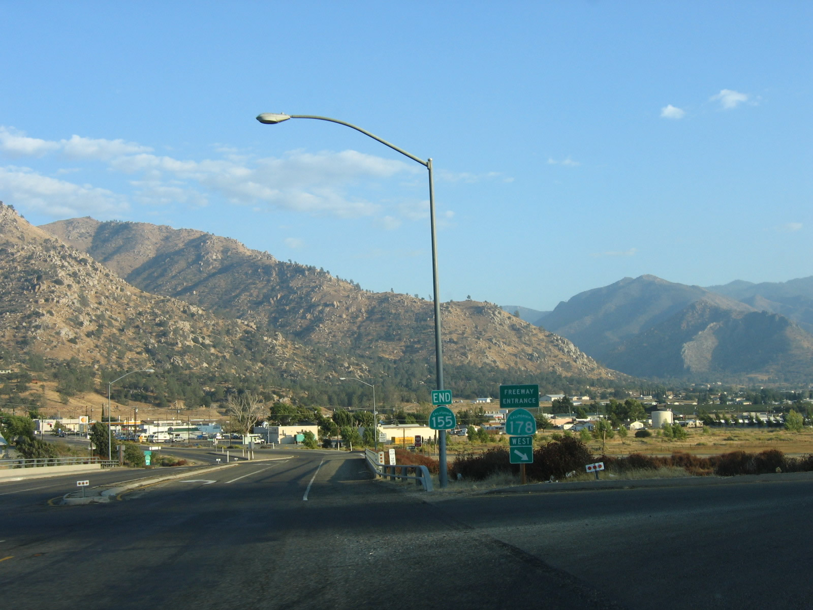
An end shield assembly is posted for SR 155 at the diamond interchange with SR 178. Kernville Road extends east to Lake Isabella Boulevard (old SR 178).
10/07/06
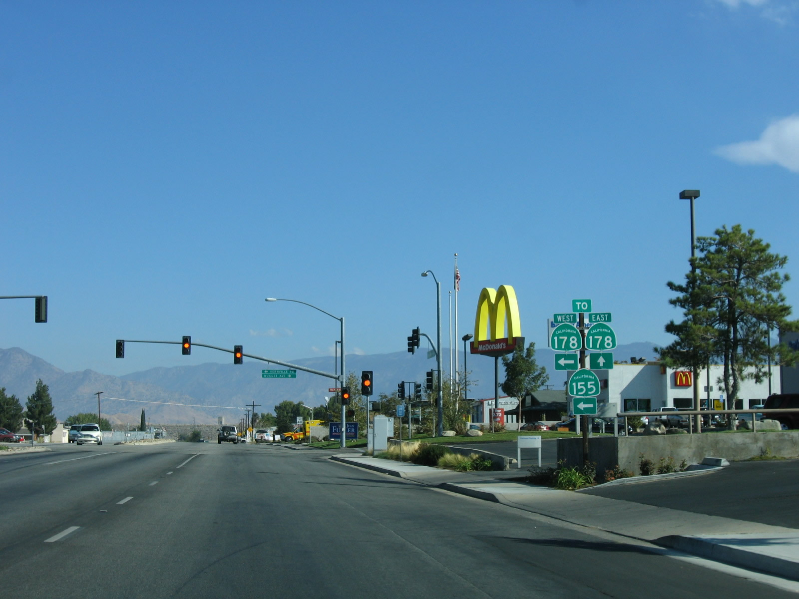
Lake Isabella Boulevard north at Kernville Road west to SR 155 and Nugget Avenue east. Lake Isabella Boulevard is the original alignment of SR 178 prior to the construction of the Lake Isabella freeway bypass.
10/08/06
Kernville Road connects Nugget Avenue at Lake Isabella Boulevard with SR 155 north to Kernville at the exchange with SR 178.
10/08/06
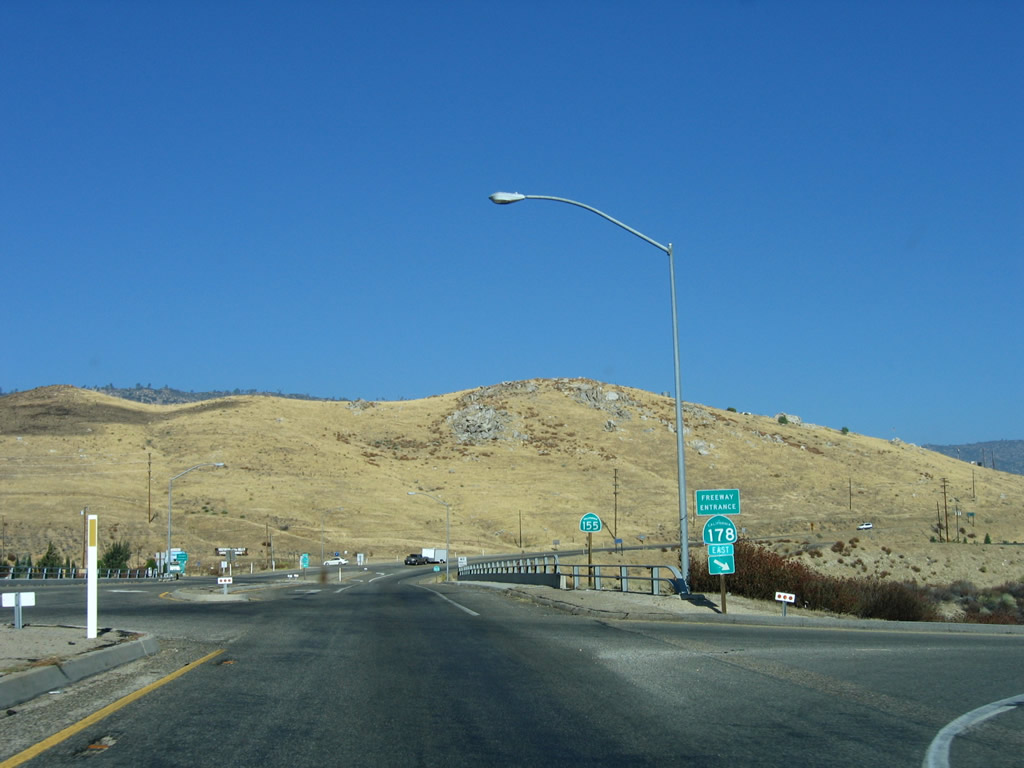
SR 178 travels east from Lake Isaballa to Inyokern and Ridgecrest.
10/08/06
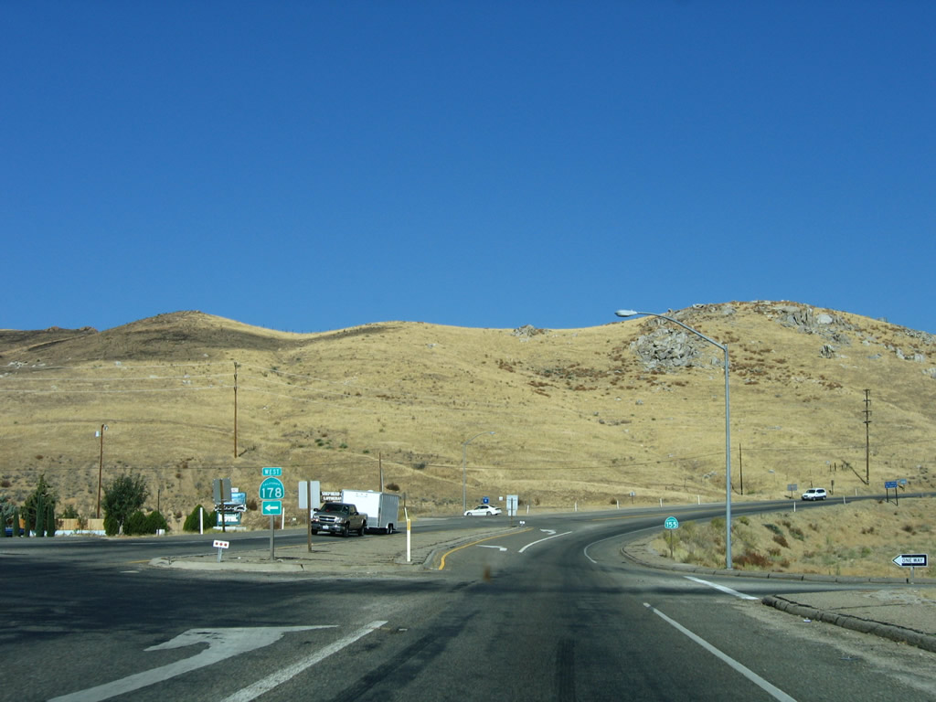
The first confirming marker for SR 155 westbound stands north of the entrance ramp for SR 178 east.
10/08/06
SR 178 straddles the Greenhorn Mountains southwest from SR 155 (Kernville Road) to Bakersfield.
10/08/06
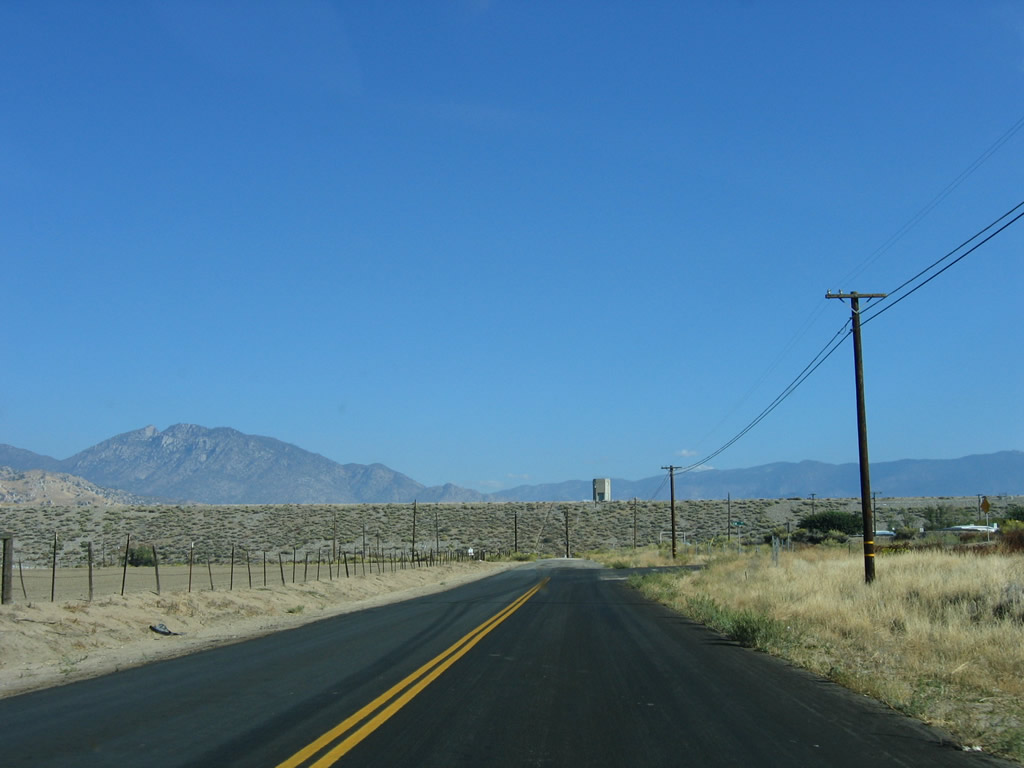
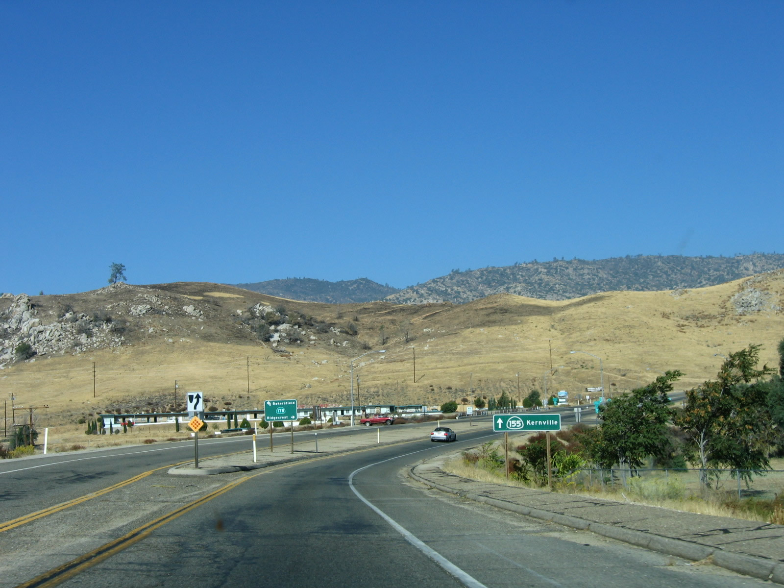
Leaving the diamond interchange with the Lake Isabella Bypass, SR 155 ascends north from Hot Spring Valley.
10/08/06
As a set of Southern California Edison power lines comes into view ahead of Barlow Road, which leads to Isabella Dam. Authorized in 1948 and completed in March 1953, Isabella Dam holds back water from the Kern River. This project was built to protect against downstream flooding, but it has ancillary uses for hydroelectric power and water supply for urban and agricultural use in the Central Valley. While California 155 passes by the main dam, a second dam closer to California 178 holds back water as part of the Borel project.
10/08/06
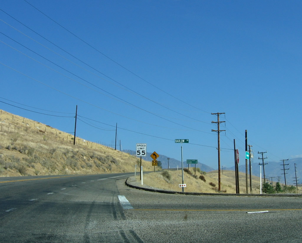
Barlow Road travels east to areas in front of both dams that are part of the Isabella Dam project. The dam visible to the east of California 155 is the Borel portion of the dam, which provides water into the Borel Canal.
10/08/06
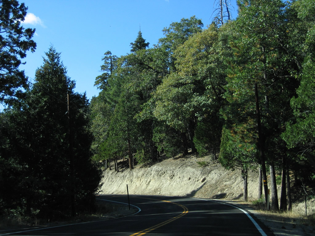
This reassurance marker for SR 155 appears north of the turn off for Keysville South Recreation Site.
10/08/06
Northbound California 155 crosses the Kern River south of Isabella Dam.
10/08/06
A turnoff (to Keysville Road) on the left side of California 155 leads to the launching point for rafting on the Kern River.
10/08/06
Formerly referenced as a vista point, a turn off lines the east side of SR 155 just beyond Isabella Dam.
10/08/06
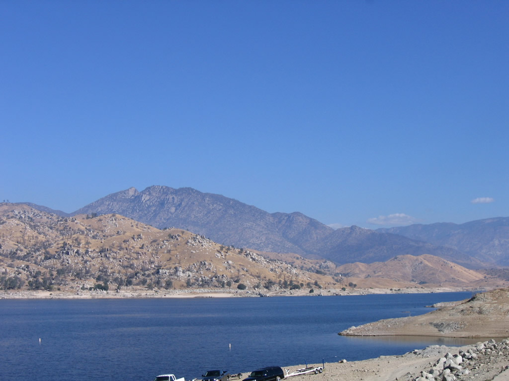
Looking north from the turn off along SR 155 between Isabella Dam and Pioneer Point on Lake Isabella.
10/08/06
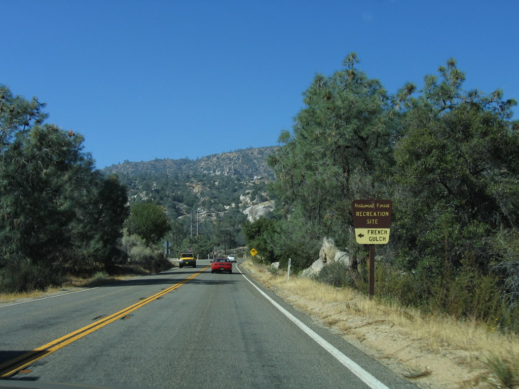
The next right is for the French Gulch Marina at Pioneer Point.
10/08/06
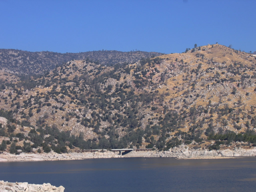
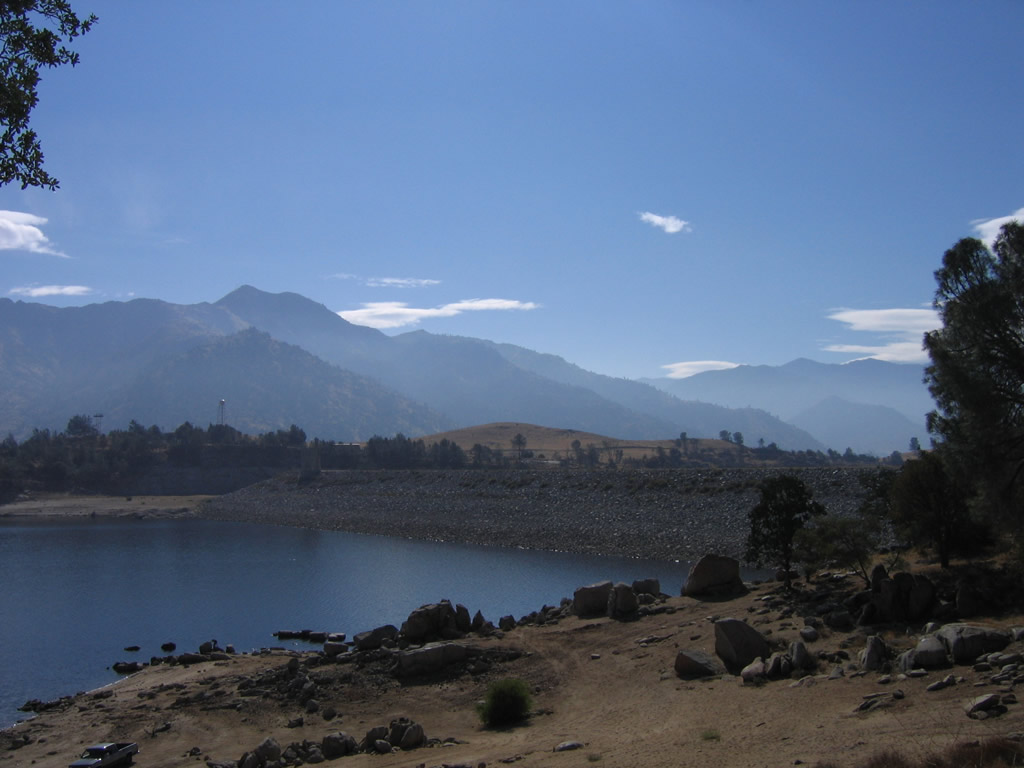
Curving eastward over an arm of Isabella Lake, SR 155 (Kernville Road) spans the French Gulch Bridge at French Gulch.
10/08/06
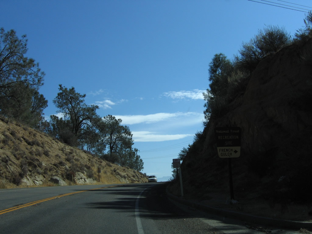
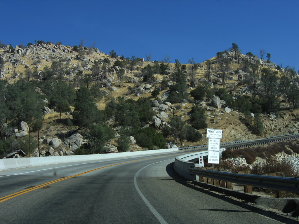
Administered by the National Forest Service, the next right from SR 155 northbound leads to French Gulch Recreation Site.
10/08/06
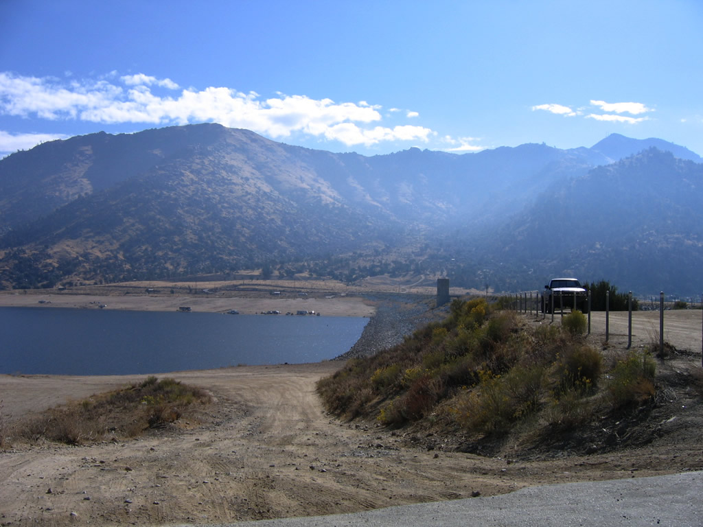
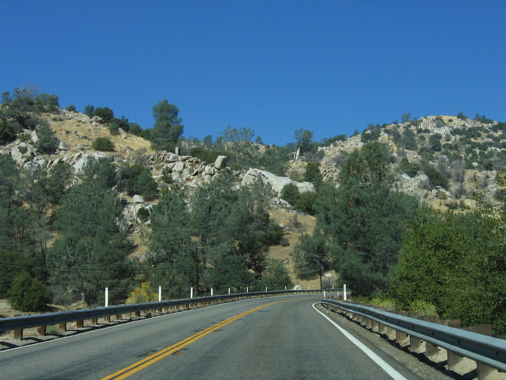
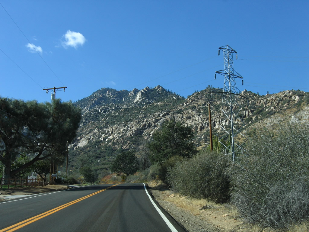
A Southern California Edison power transmission line parallels California 155 as Kernville Road follows the western shore of Lake Isabella reservoir. Phototaken 10/08/06.
SR 155 runs between Hungry Gulch Campground and Boulder Gulch Campground north of postmile 67.30.
10/08/06
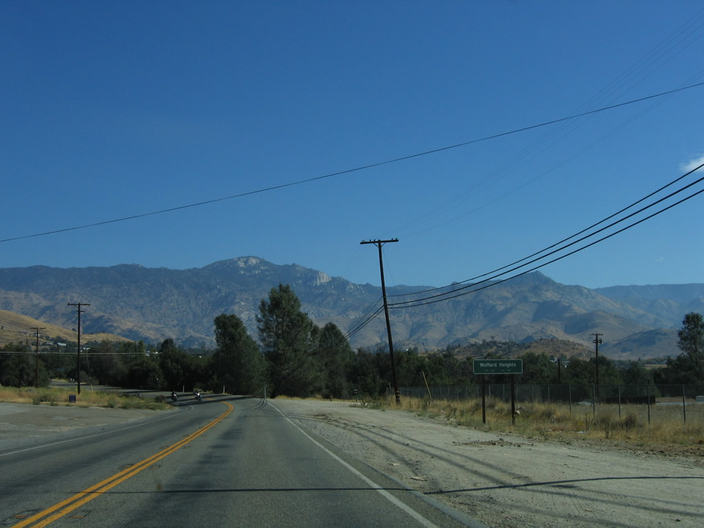
Northbound of Sawmill Road, SR 155 follows Wofford Boulevard into the unincorporated community of Wofford Heights.
10/08/06
Shifting northeast, SR 155 drops in elevation ahead of Wofford Heights.
10/08/06
California 155 enters the census designated place of Wofford Heights.
10/08/06
Old State Road ties into SR 155 from the adjacent Live Oak campground and across from Tillie Creek campground along Isabella Lake. The former alignment of SR 155, Old State Road navigates along a circuitous route across the hills overlooking Wooford Heights to the west.
10/08/06
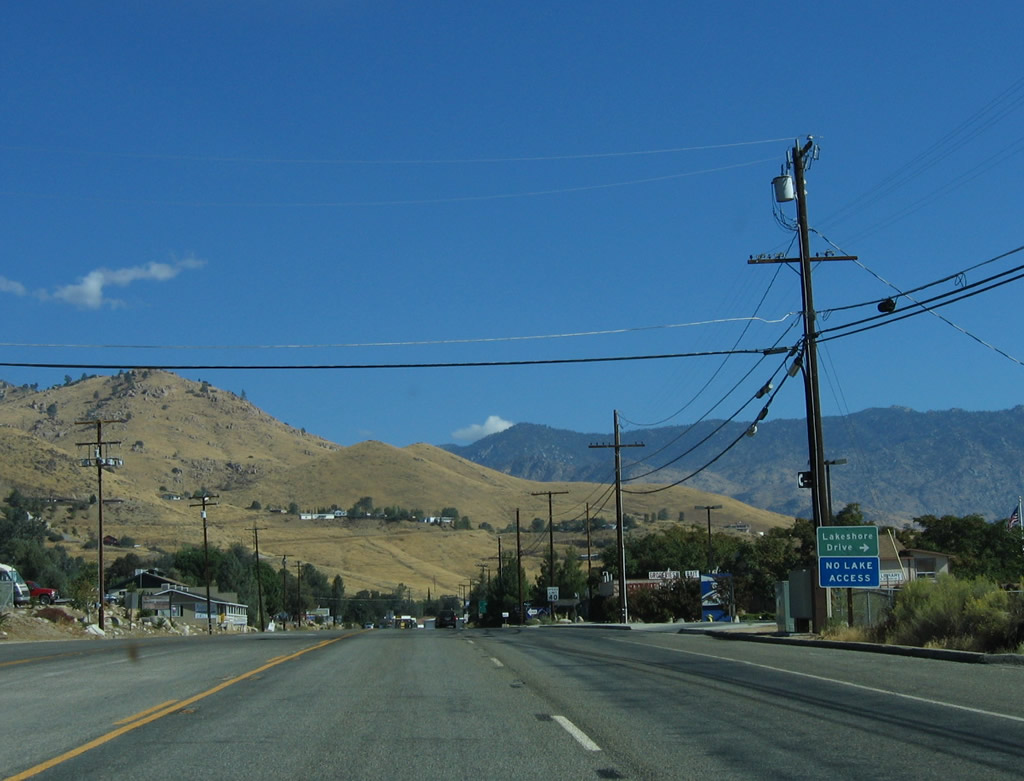
Lakeshore Drive spurs east from SR 155 into a Wofford Heights neighborhood ahead of Tillie Creek.
10/08/06
SR 155 turns west along Evans Road while Wofford Boulevard continues east along a commercial strip through Wofford Heights to become Burlando Road north to Kernville.
10/08/06
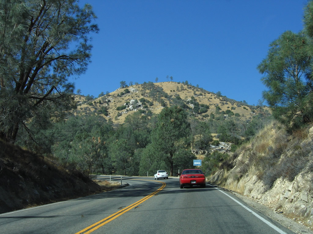
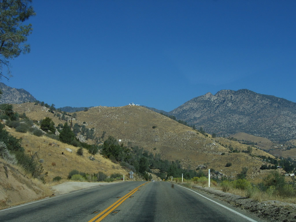
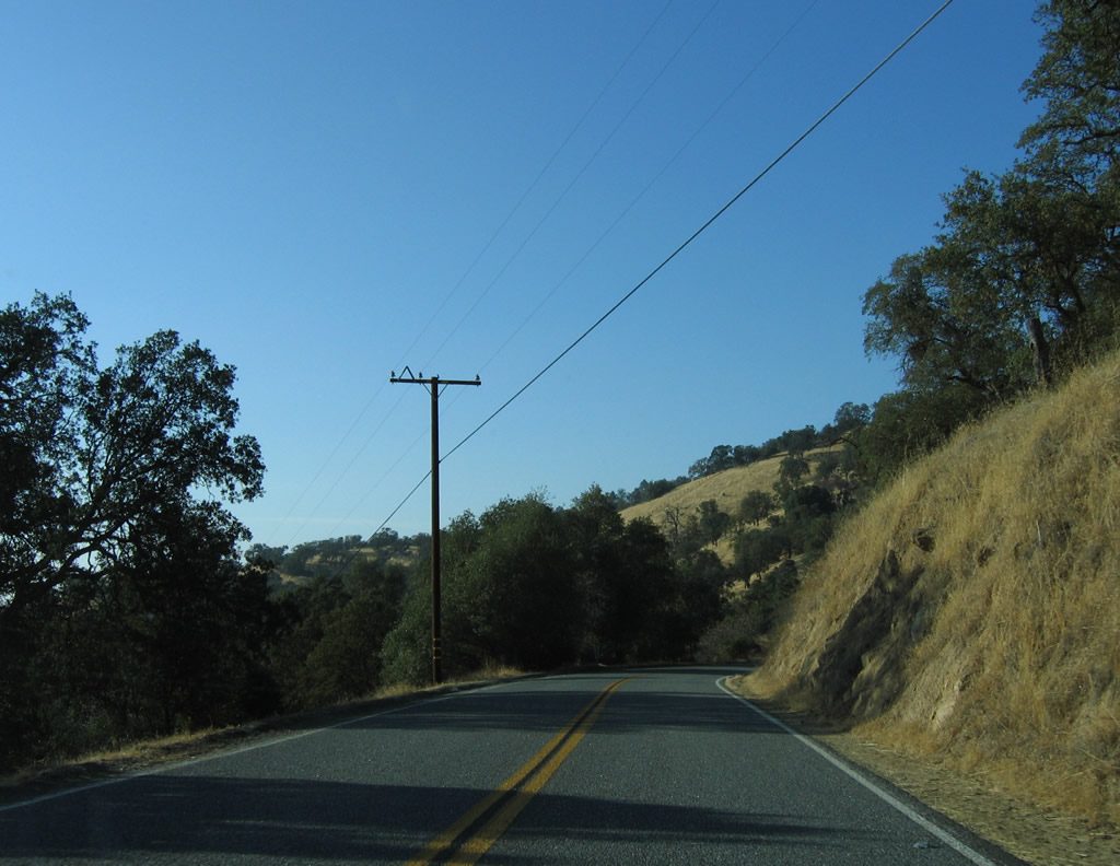
Rising 3,500 feet in elevation west from Wofford Heights, SR 155 (Evans Road) follows a curvaceous corse toward the Central Valley via Alta Sierra and Glennville.
10/08/06
Seasonally, chains might be required along California 155 west of Wofford Heights during Winter snows and inclement weather.
10/08/06
Westbound California 155 (Evans Road) parallels Tillie Creek and then SHirley Creek west into the Greenhorn Mountains.
10/08/06
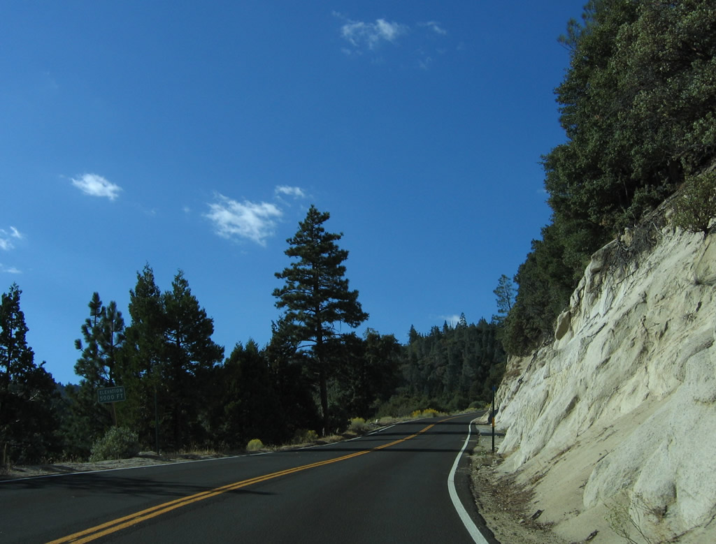
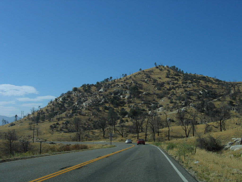
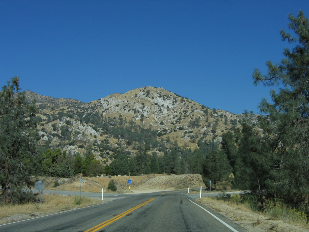
California 155 (Garces Highway) climbs west to over 5,000 feet above sea level south of Black Mountain.
10/08/06
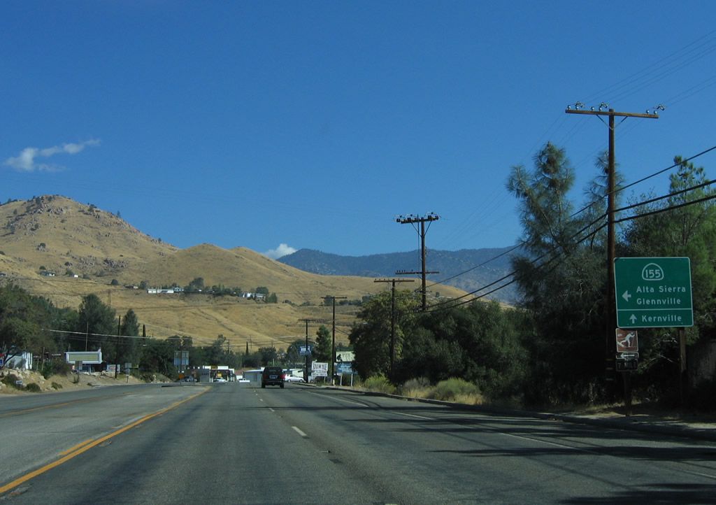
Westbound California 155 meets Old State Road at Greenhorn Mountain County Park. Old State Road is a lengthy, winding old alignment of California 155 east to the state route between Wofford Heights and Lake Isabella.
10/08/06
The next intersection beyond Greenhorn Mountain County Park from Sr 155 west is with Rancheria Road south to the unincorporated community of Shirley Heights. SR 155 reaches its highest point here at Greenhorn Summit, elevation 6,102 feet.
10/08/06
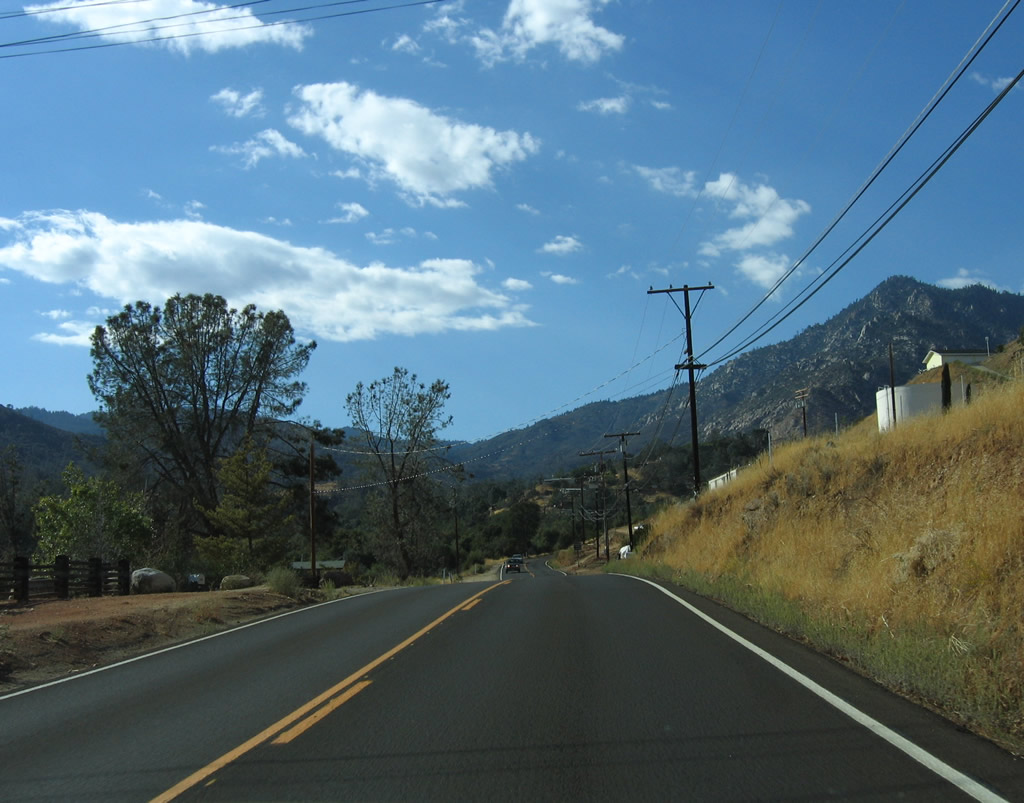
SR 155 travels north from Greenhorn Mountain County Park to Spout Spring, then turns southward alongside Slick Rock Creek.
10/08/06
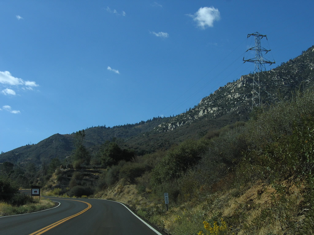
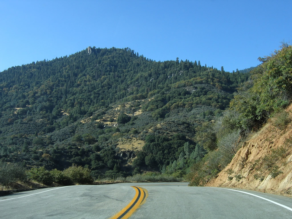
SR 155 travels along the southern slopes of Bohna Peak west from ahead of postmile 48.50 to Bohna Creek.
10/08/06
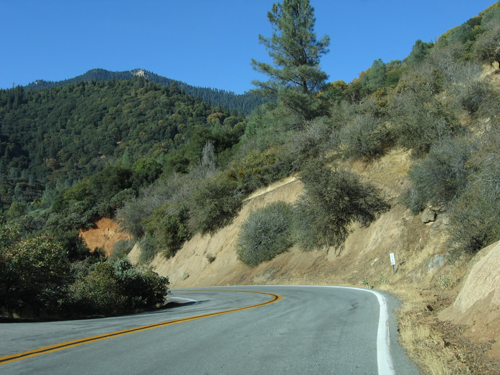
Parallleing Fulton Creek, SR 155 turns southwest around Fulton Peak through a broader valley where the Sequuoia National Forest Fulton Work Center is located.
10/08/06
Dropping below an elevation of 3,200 feet above sea level, SR 155 angles northwest into the the unincorporated community of Glennville.
10/08/06
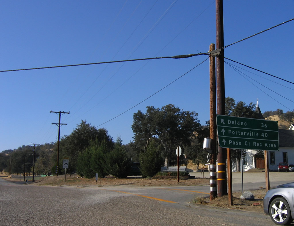
White River Road branches northwest from SR 155 to Porterville, which is 40 miles away via Jack Ranch Road north, Parker Pass Road north, Great Western Divide Highway and SR 190 west. SR 155 arcs westard from Glennville to Linns Valley on the 36 miles leading to Delano.
10/08/06
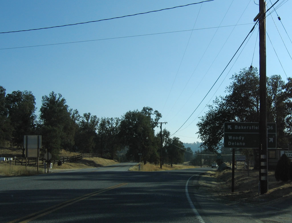
Granite Road separates from SR 155 south beyond Linns Valley. The former alignment of the state route travels southwest to Bakersfield, while the current alignment continues west to Woody and Delano.
10/08/06
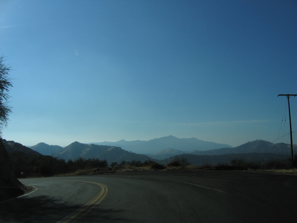
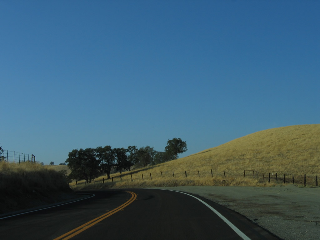
SR 155 turns westward again from Grantie Road to the south of Blue Mountain and Blear Hollow.
10/08/06
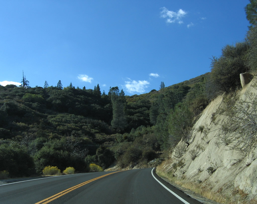
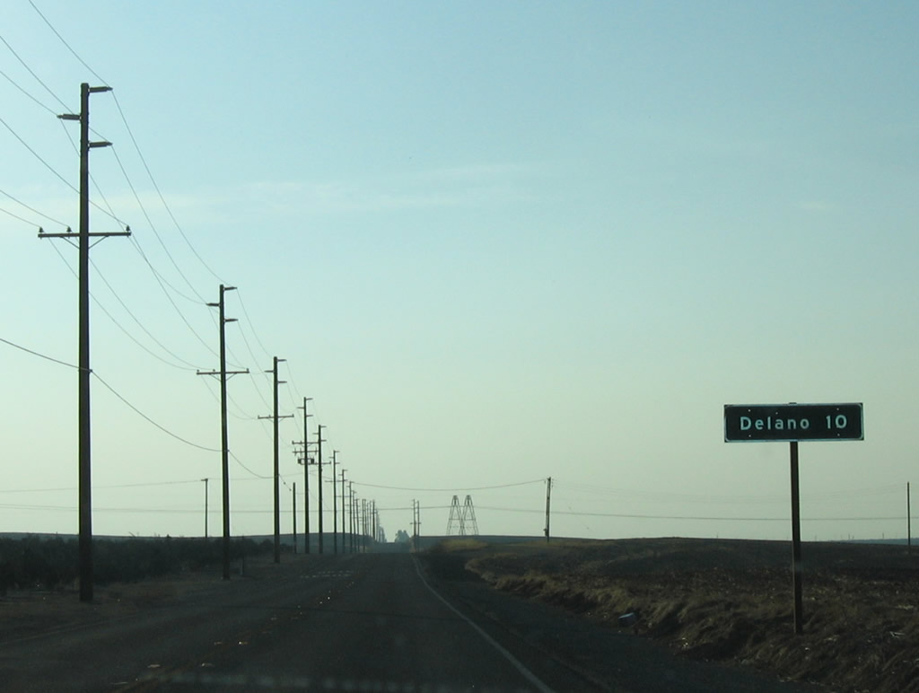
California 155 continues west through the foothills toward Delano.
10/08/06
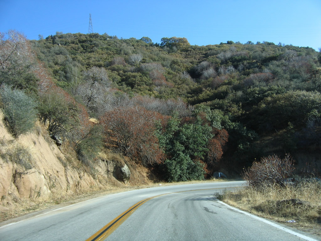
An array of S-curves precede Spring Mountain Gulch along California 155 west from postmile 33.20.
10/08/06
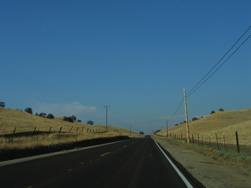
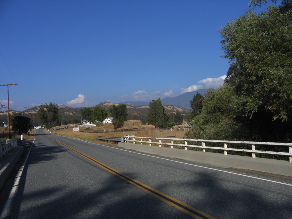
Ranches line both sides of California 155 east of Delano.
10/08/06
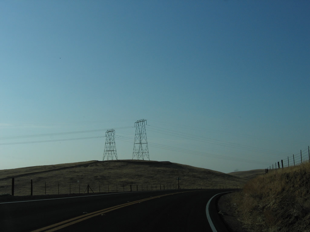
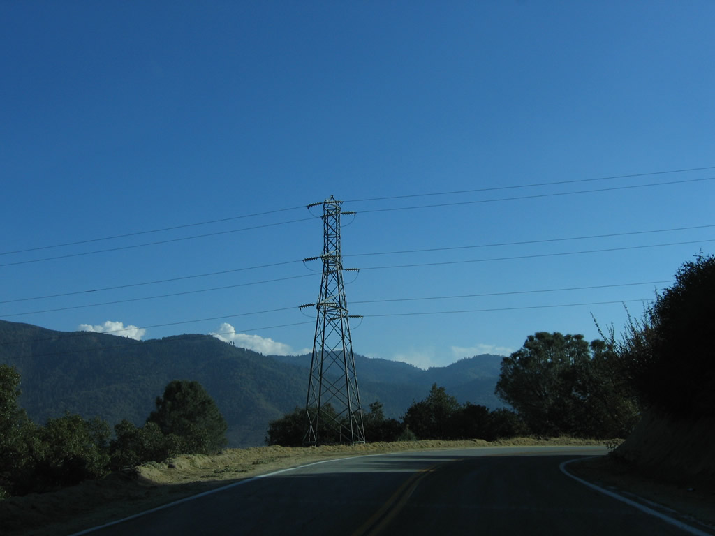
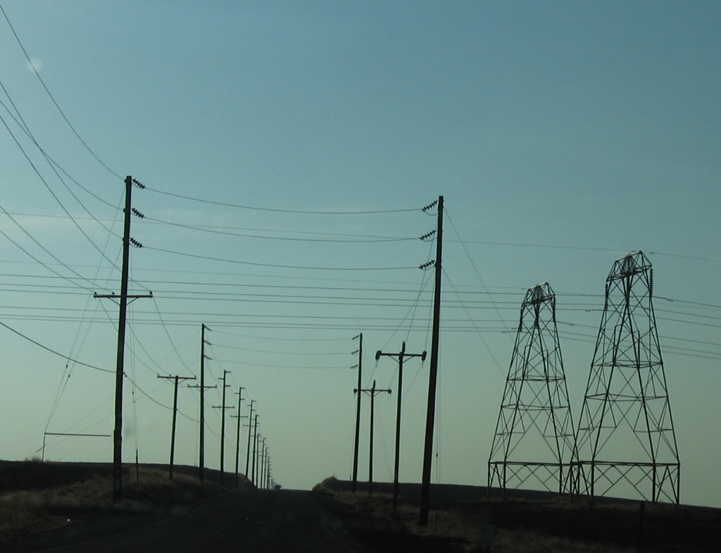
A pair of 220kV Southern California Edison power lines cross over California 155.
10/08/06
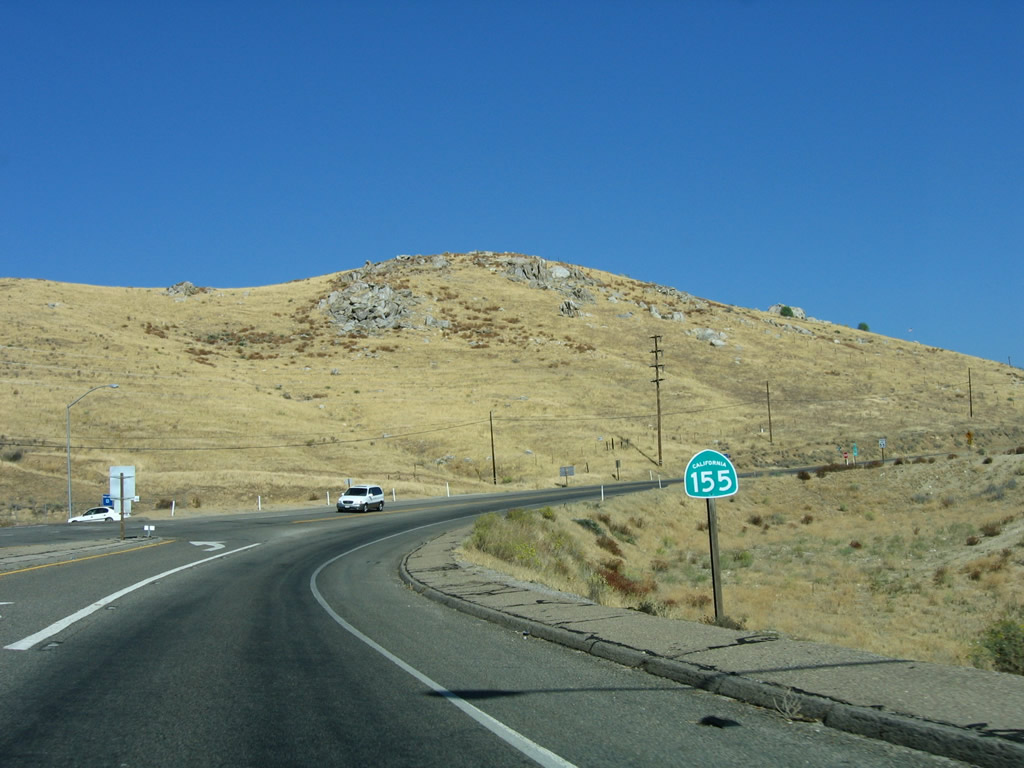
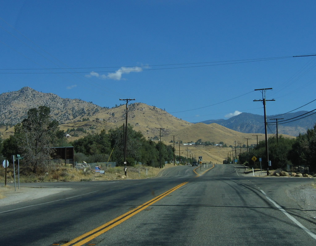
The first state route intersected by SR 155 west since leaving Lake Isabella is SR 65 (Eastside Highway) north to Porterville and south to Bakersfield.
10/08/06
California 155 meets California 65 at this stop sign. Through traffic on California 65 does not stop at this intersection.
10/08/06
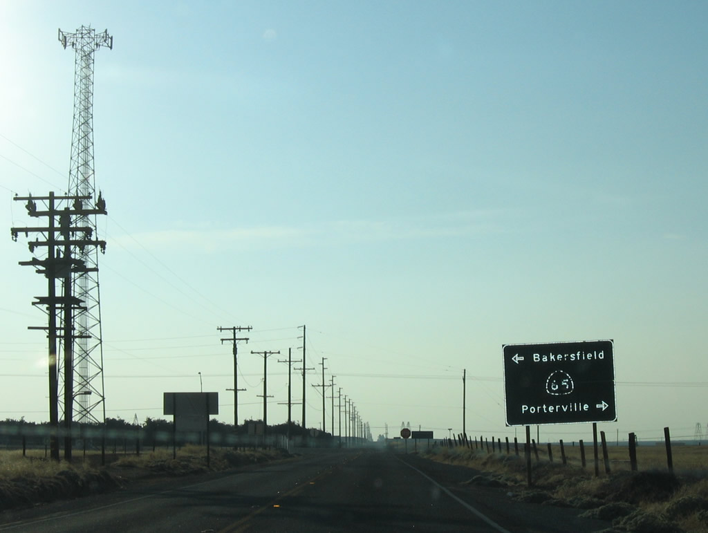
11.00 miles of SR 155 west remain from SR 65 to SR 99 in Delano.
10/08/06
Another set of Southern California Edison power lines cross over California 155. These lines bring hydroelectric power from the Sierra Nevada foothills south to Bakersfield and greater Los Angeles.
10/08/06
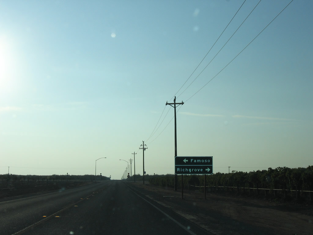
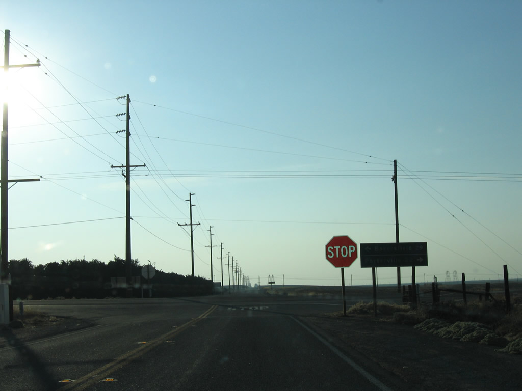
Westbound California 155 meets Famoso-Porterville Highway at this stop sign. Famoso-Porterville Highway parallels an abandoned Southern Pacific Railroad line north to Richgrove.
10/08/06
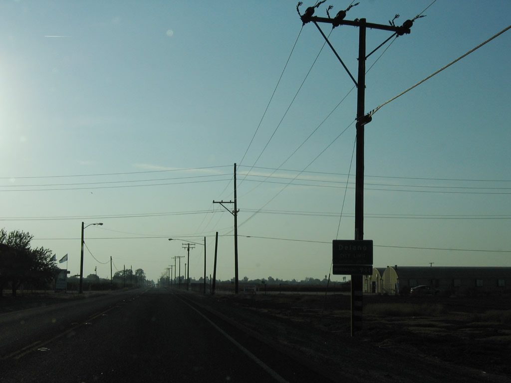
SR 155 (Garces Highway) enters the city of Delano west at Browning Road. The intersection with Browning Road was replaced with a roundabout by 2021.
10/08/06
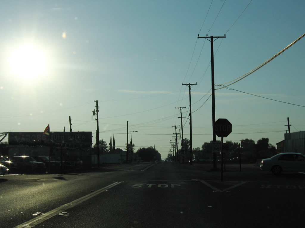
Parallelling the Union Pacific Railroad, SR 99 Business (High Street) heads south from Downtown Delano to intersect SR 155 (Garces Highway) at this stop sign. High Street is part of Historic U.S. 99 (Golden State Highway).
10/08/06
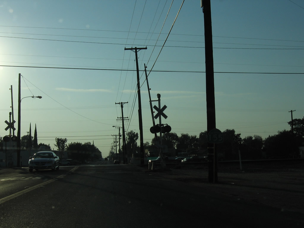
The final California 155 west reassurance shield is posted between High Street and the at-grade crossing with the Union Pacific Railroad.
10/08/06
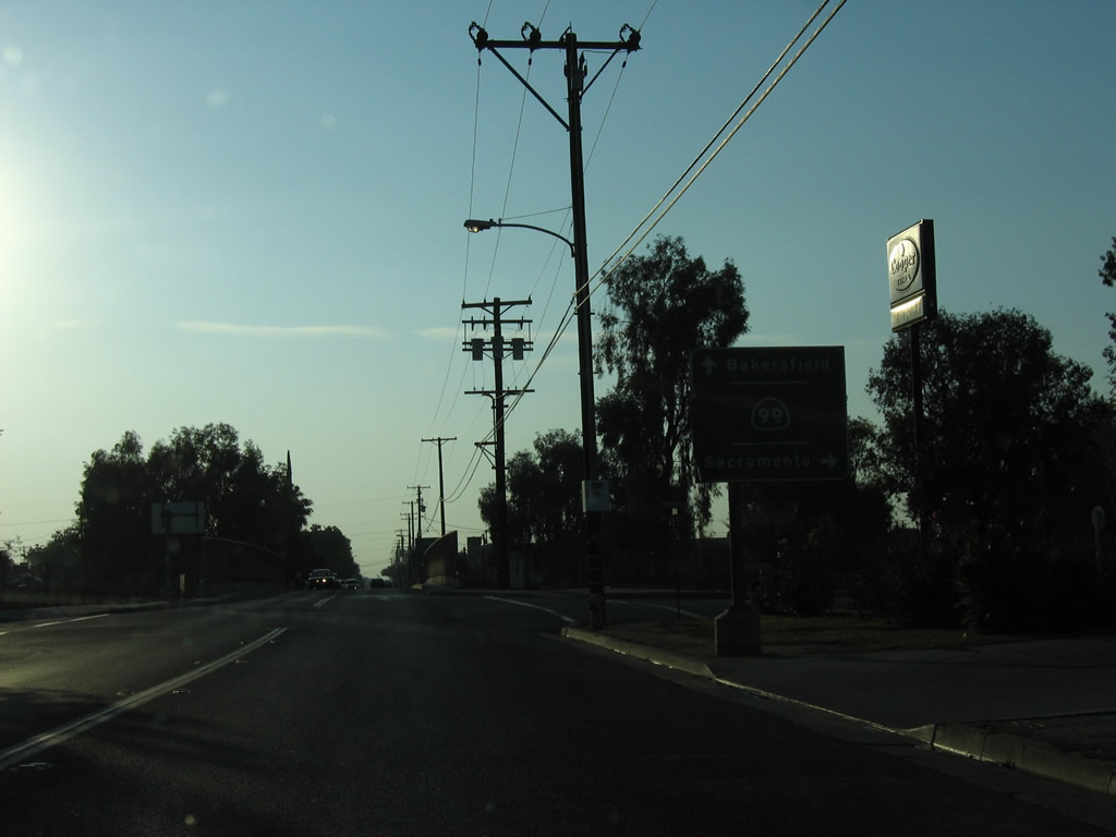
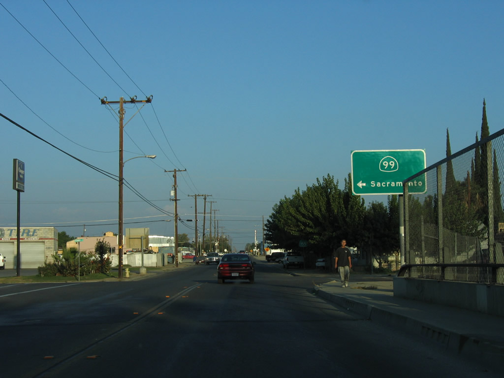
SR 155 makes an unmarked turn along Fremont Street north to connect with the SR 99 entrance ramp for the Golden State Freeway north to Fresno, Modesto, and Sacramento.
10/08/06
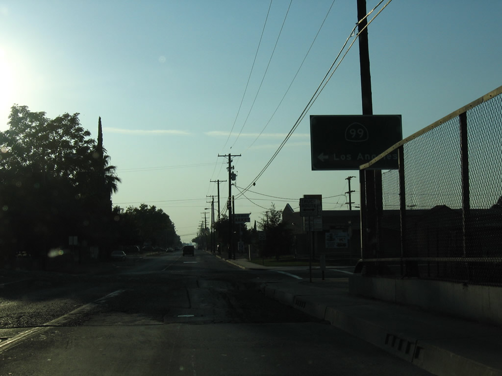
Ellington Street extends south from SR 155 (Garces Highway) the entrance ramp for SR 99 (Golden State Freeway) south to Bakersfield and Los Angeles (via Interstate 5).
10/08/06
Photo Credits:
- Andy Field: 10/07/06, 10/08/06
Connect with:
Page Updated Wednesday September 30, 2009.