
State Route 178
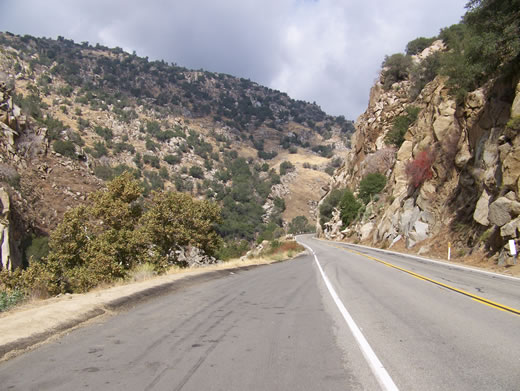
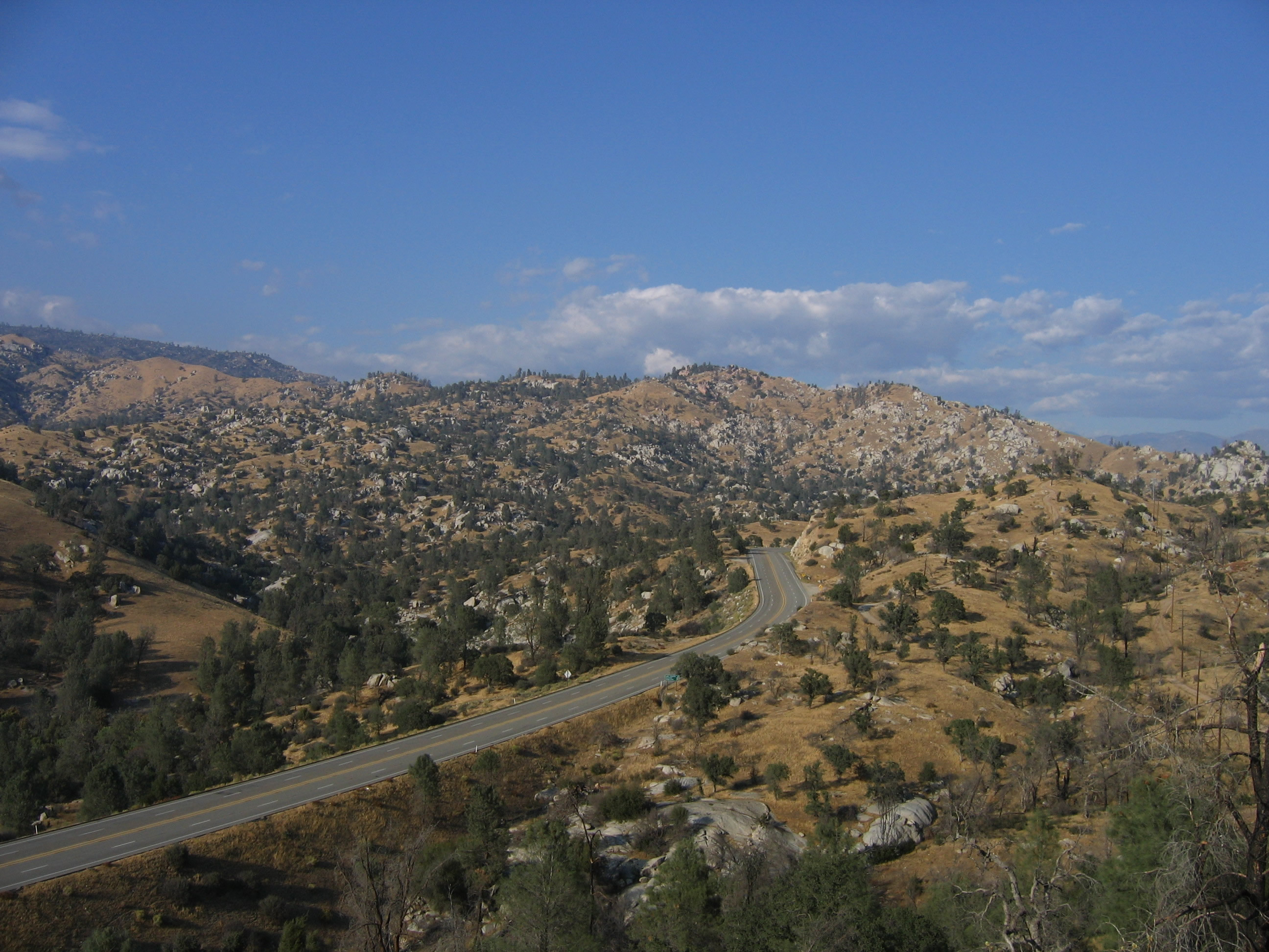
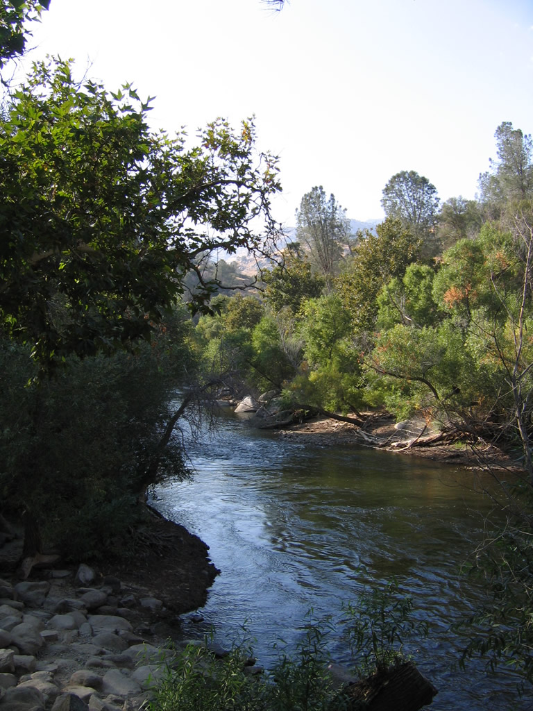
Scenic California State Route 178 leads east through the Kern River Canyon, which is a narrow canyon crafted by the waters of the Kern River. Falling rocks are a concern along certain sections of the highway. Photo by Erik Fox. - 10/15/2006
California 178 begins at the Junction of California 58 and California 99 in Bakersfield. After passing California 204 & California 99 Business (Golden State Highway), California 178 briefly becomes a freeway before heading northeast toward the Sierra Nevada foothills along the banks of the Kern River.
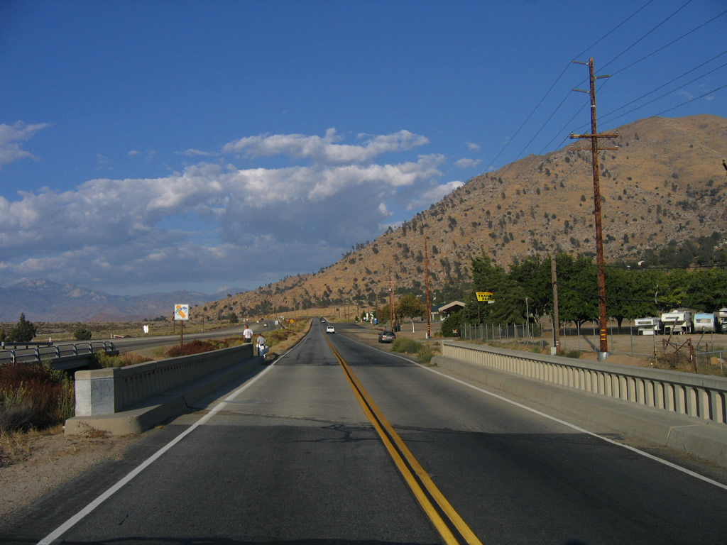
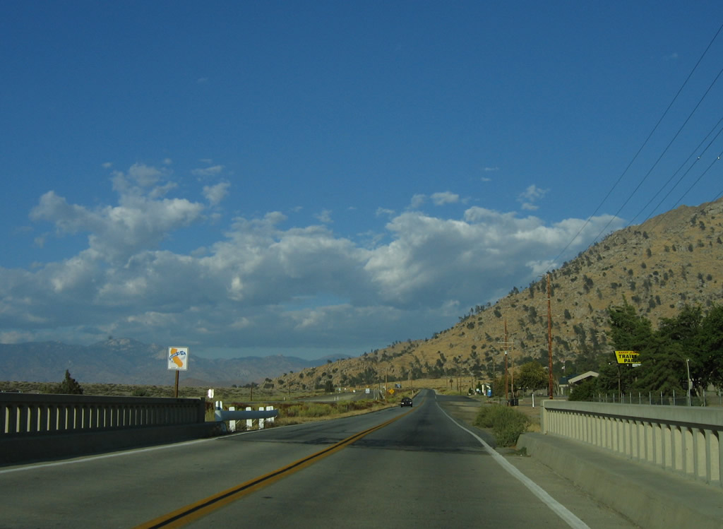
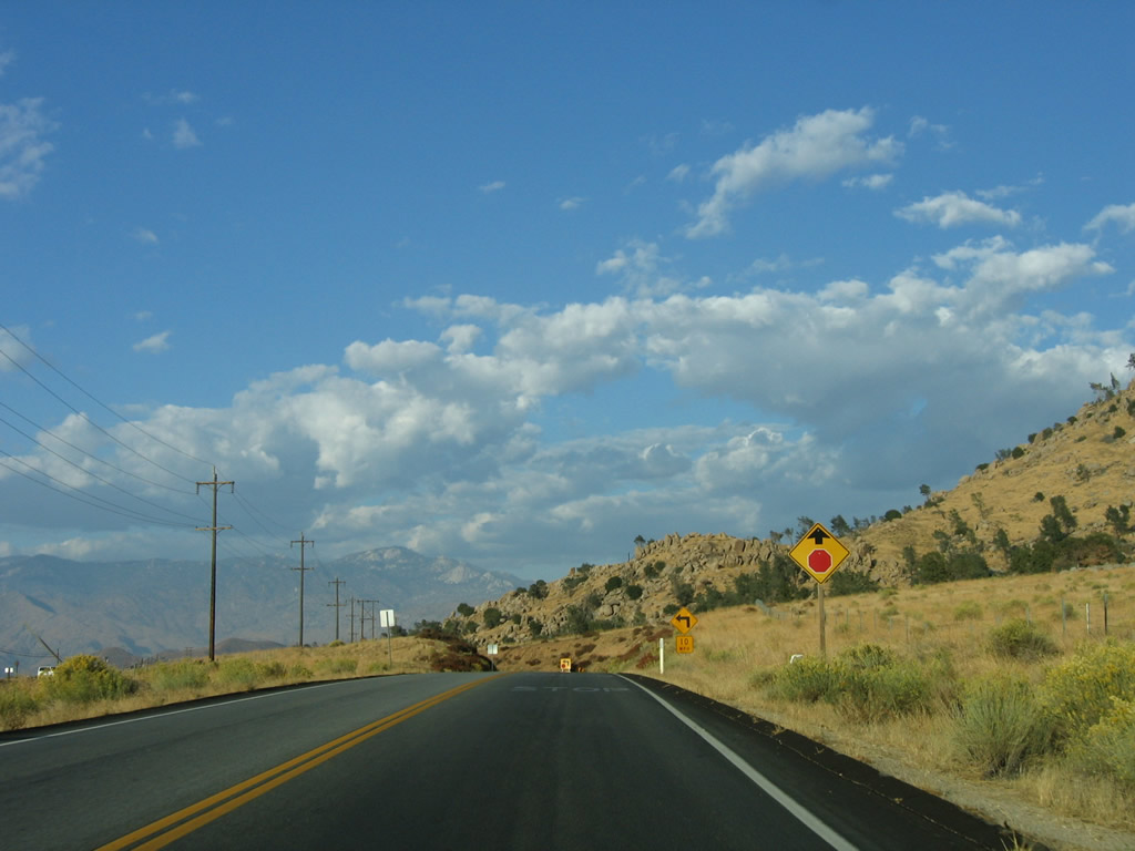
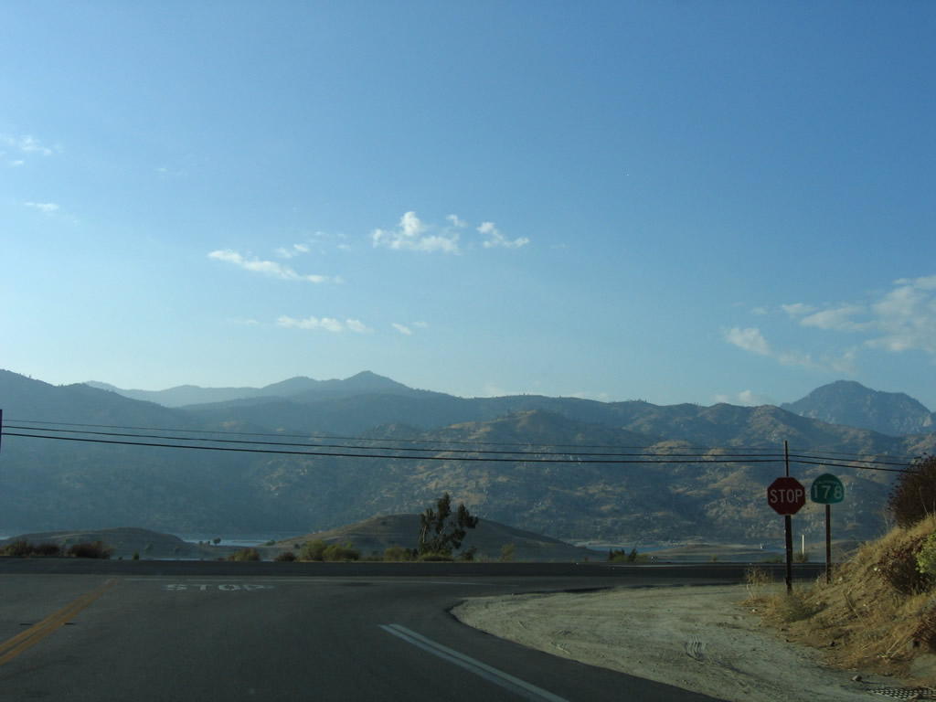
Through the Kern River Canyon and over Walker Pass, California 178 is the only all-weather trans-Sierra route between California 58 and California 88. Passing by Isabella Reservoir, California 178 crosses Walker Pass (el. 5,245 feet) before meeting California 14 and U.S. 395 in the vicinity of Ridgecrest and China Lake.
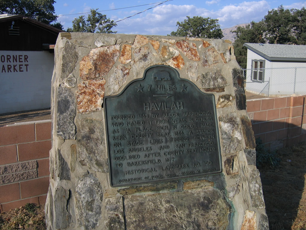
Currently, the western segment of California 178 ends near the community of Trona northeast of Ridgecrest. There is a route gap between the western and eastern segments due to Death Valley National Park. The detour around the route gap is made via local roads and California 190 through the park. The endpoint for the western section of California 178 is at the turnoff to the Trona Pinnacles National Natural Landmark. The highway continues as a county-maintained highway, initially by San Bernardino County and then by Inyo County. The county route turns north, and it ultimately meets California 190 just east of Panamint Springs within Death Valley National Park, as shown in the Death Valley map. There are standing proposals to connect California 178 near Trona with the eastern section of California 178, but that seems increasingly unlikely given the fact that much of this unconstructed route lies within Death Valley National Park.
The eastern segment of California 178 emerges as a narrow, two-lane highway at what seems to be an arbitrary point, but it is actually the original Death Valley National Monument (predecessor to the expanded Death Valley National Park) boundary south of Badwater Basin (lowest spot in the continental United States) near Jubilee Pass. California 178 continues through Death Valley National Park, finally meeting California 127 a few miles north of Shoshone. California 178 merges onto California 127 for the distance into Shoshone, then turns northeast to cross into Nevada en route to Pahrump via Nevada 372.
California State Route 178 Guides
- East:
- West:
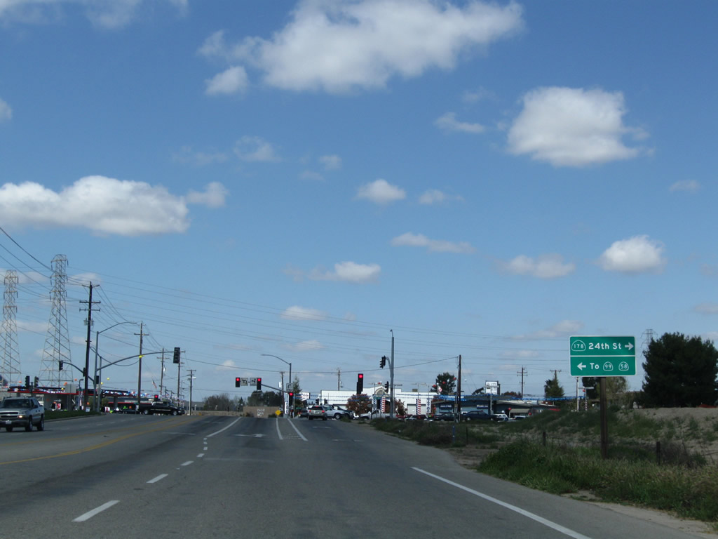
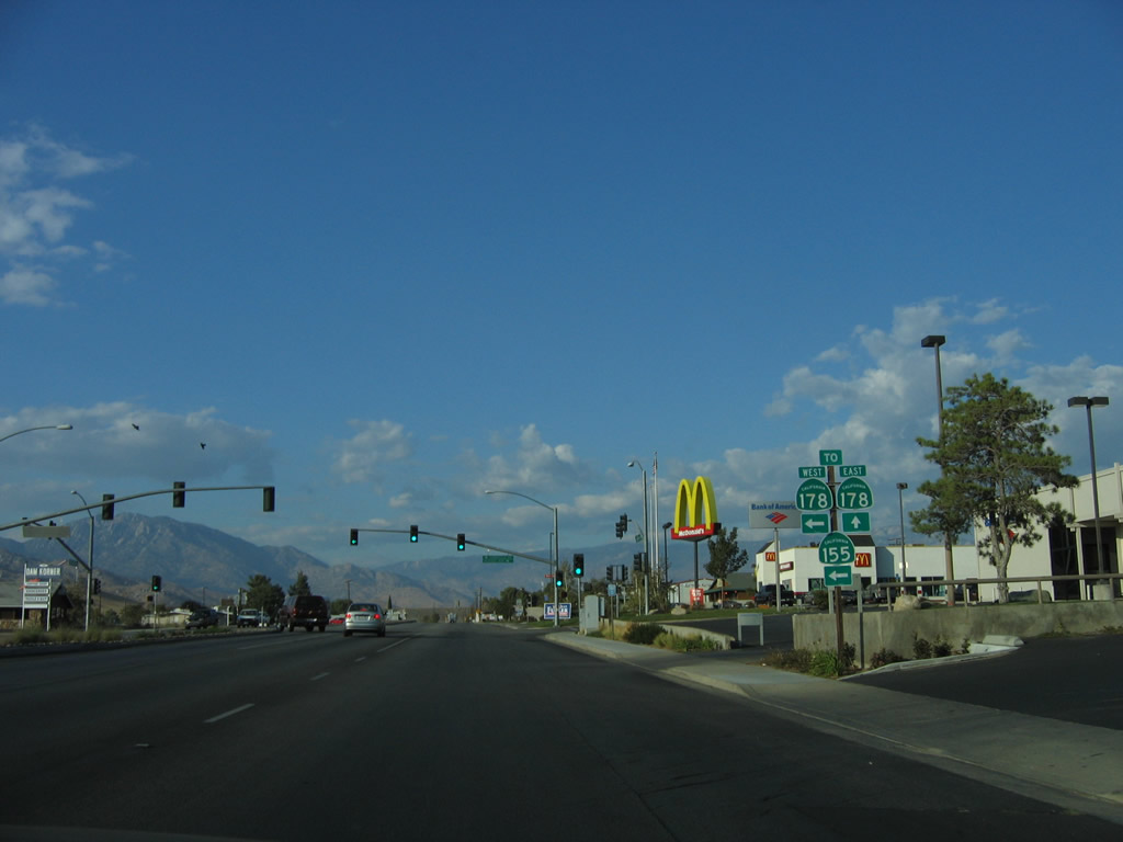
In Bakersfield, northbound Oak Street approaches its intersection with California 178 (24th Street) near the western terminus. Turn left to follow 24th Street west to the end of California 178 at the junction with California 58 and 99. Turn right to follow California 178 east to downtown Bakersfield.
03/15/09
Northbound Oak Street meets California 178 (24th Street) in Bakersfield.
03/15/09
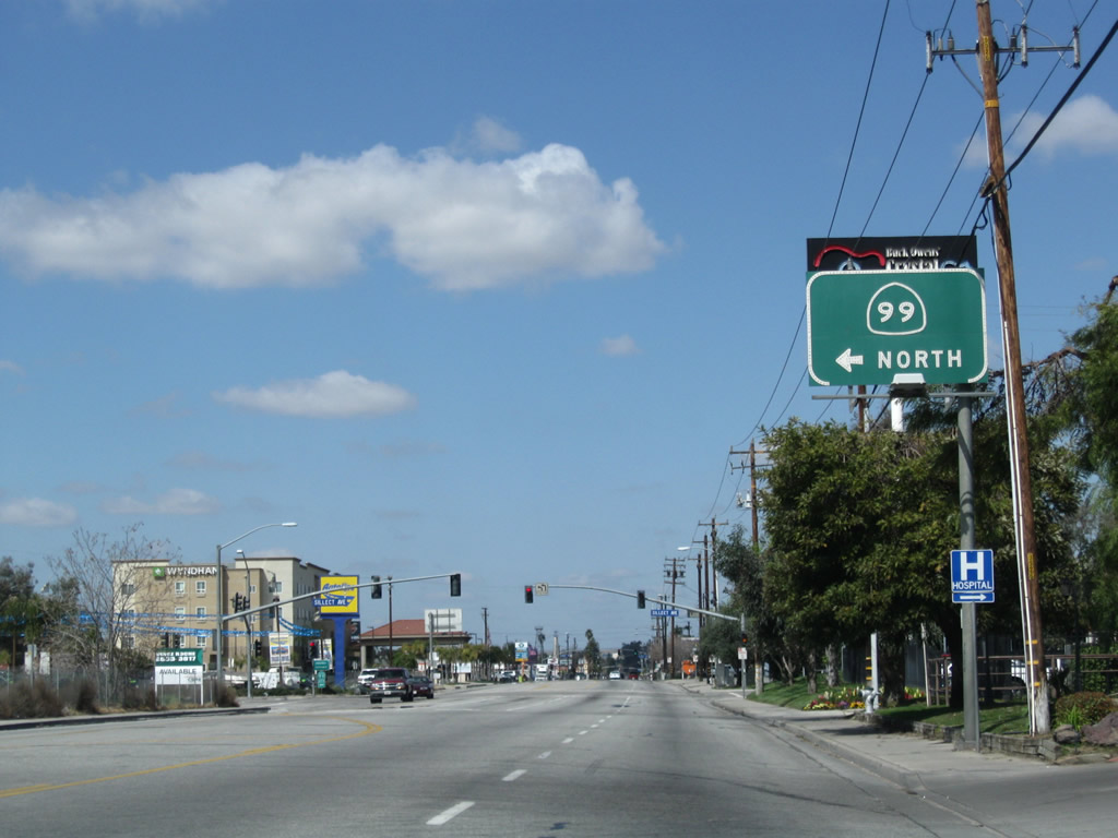
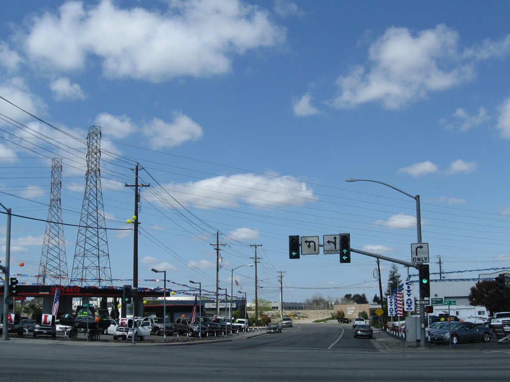
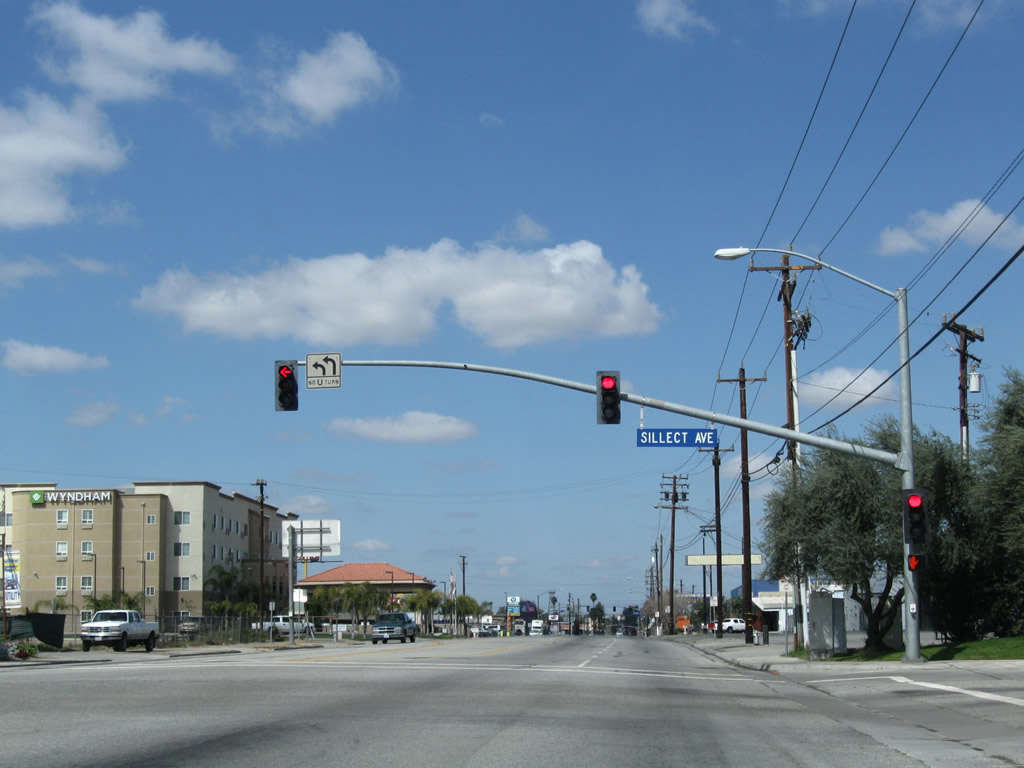
After intersection with California 178 (24th Street), northbound Buck Owens Boulevard approaches Sillect Avenue in Bakersfield. Turn left on Sillect Avenue to the on-ramp for California 99 north or turn right to see the Bakersfield Arch that spans Sillect Avenue near the Buck Owens Crystal Palace Theater and Museum.
03/15/09
Northbound Buck Owens Boulevard meets Sillect Avenue in Bakersfield. Turn left on Sillect Avenue to the on-ramp for California 99 north or turn right to see the Bakersfield Arch that spans Sillect Avenue near the Buck Owens Crystal Palace Theater and Museum.
03/15/09
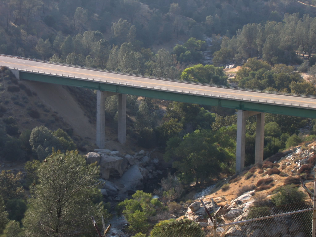
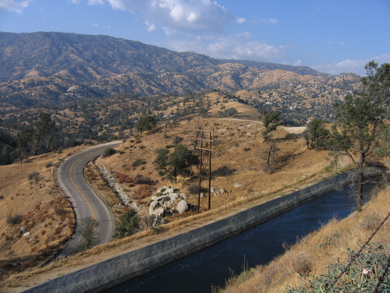
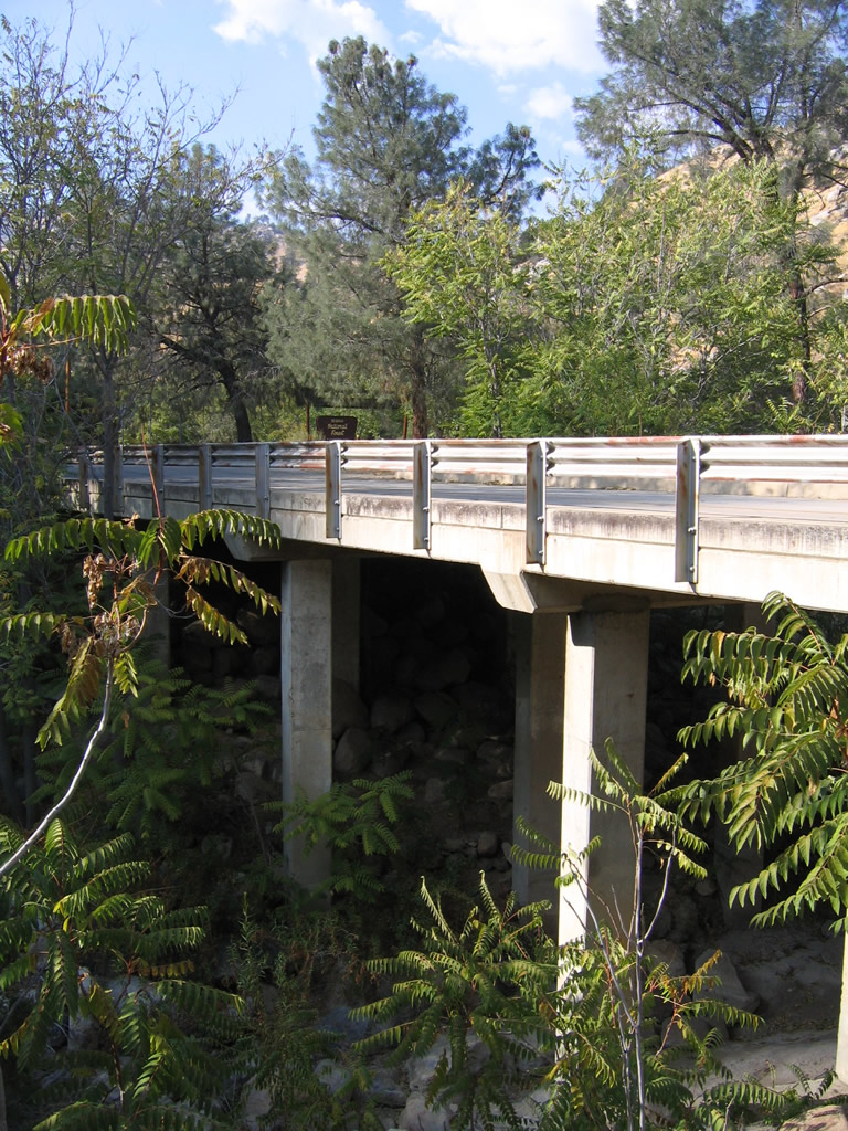
Viewing the California 178 expressway bridge near the Borel Hydroelectric Power Generating Facility in Sequoia National Forest from Kern Canyon Road.
10/07/06
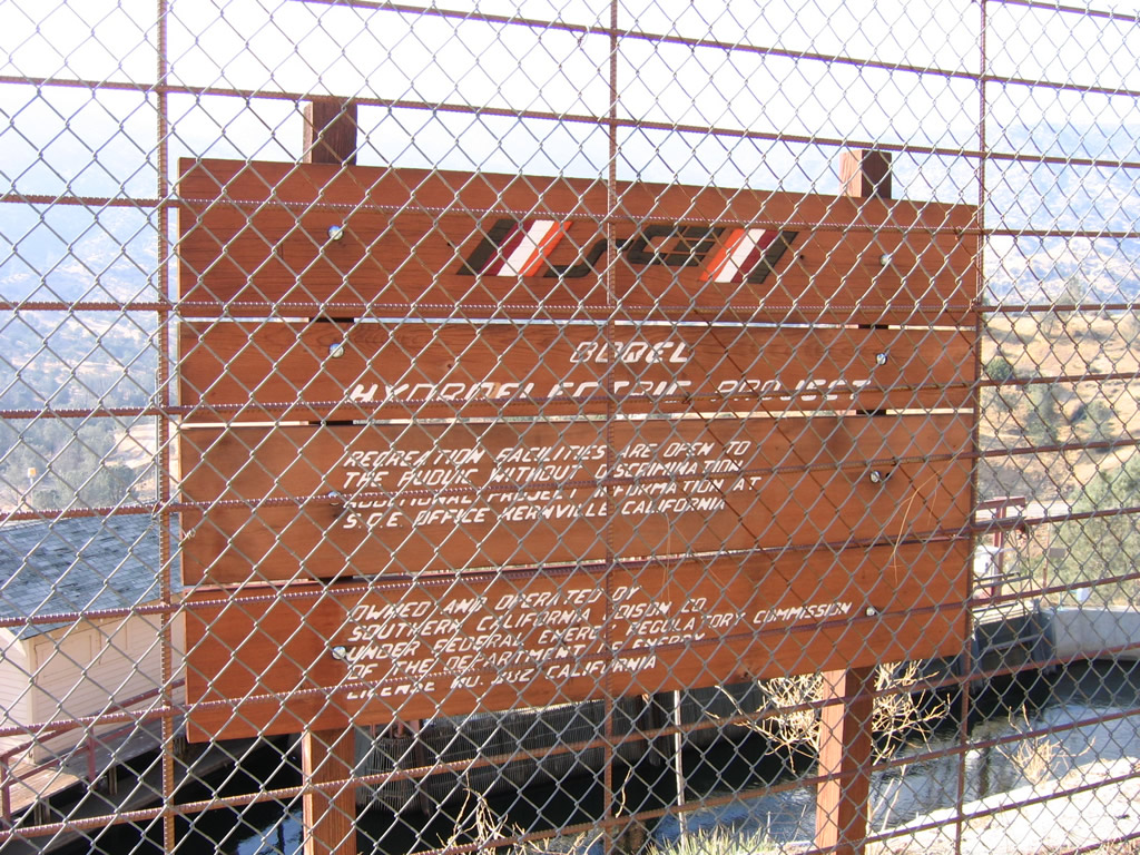
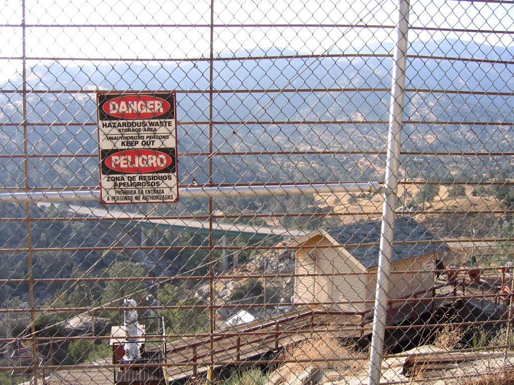
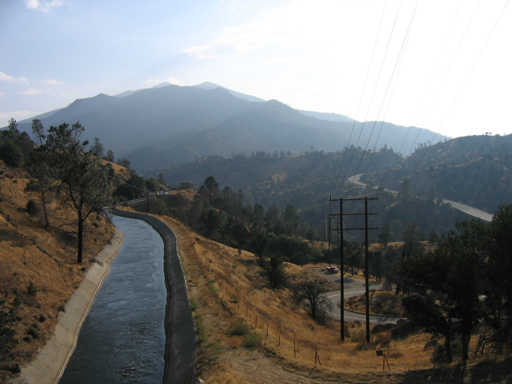
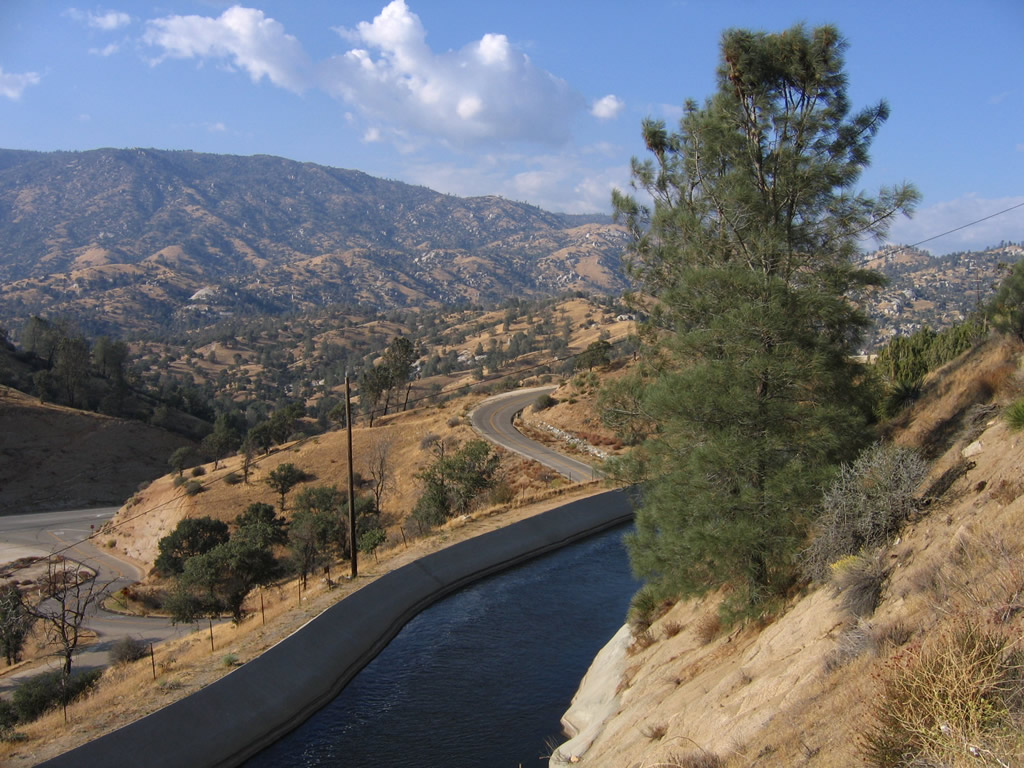
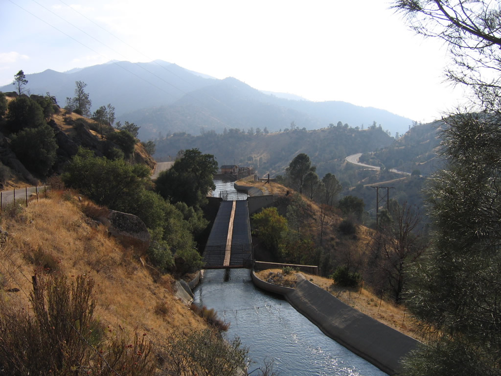
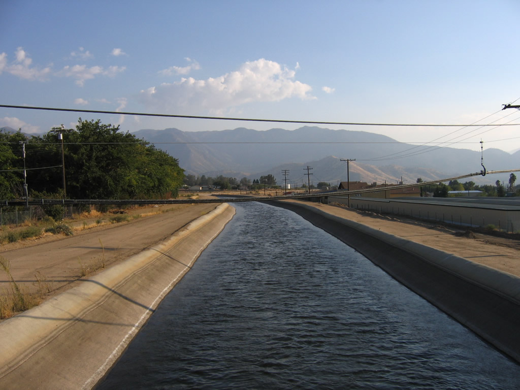
The Borel Hydroelectric Power Generating Facility is operated by Southern California Edison along the Kern River. It has transmission facilities to ensure electricity to moved to the appropriate markets. This facility is located off Old California 178 (Kern Canyon Road) southwest of Lake Isabella. Borel Road can be seen below the aqueduct (carrying water downstream in a controlled manner to maximize hydroelectric potential as well as convey water west to the fertile Central Valley).
10/07/06
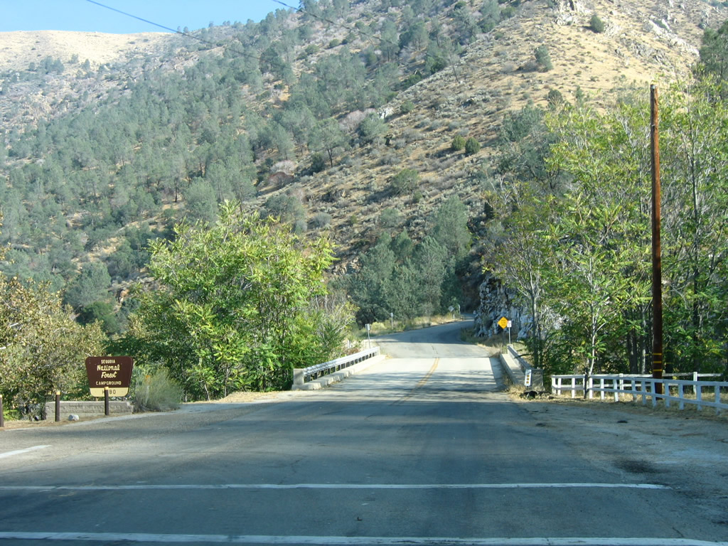
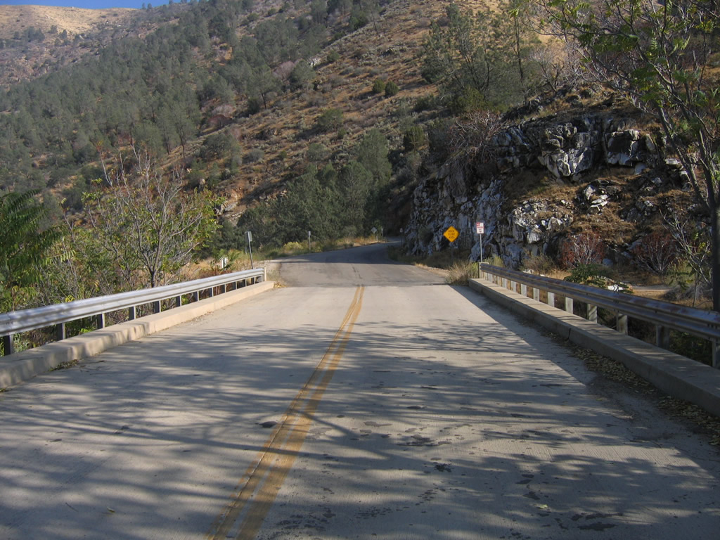
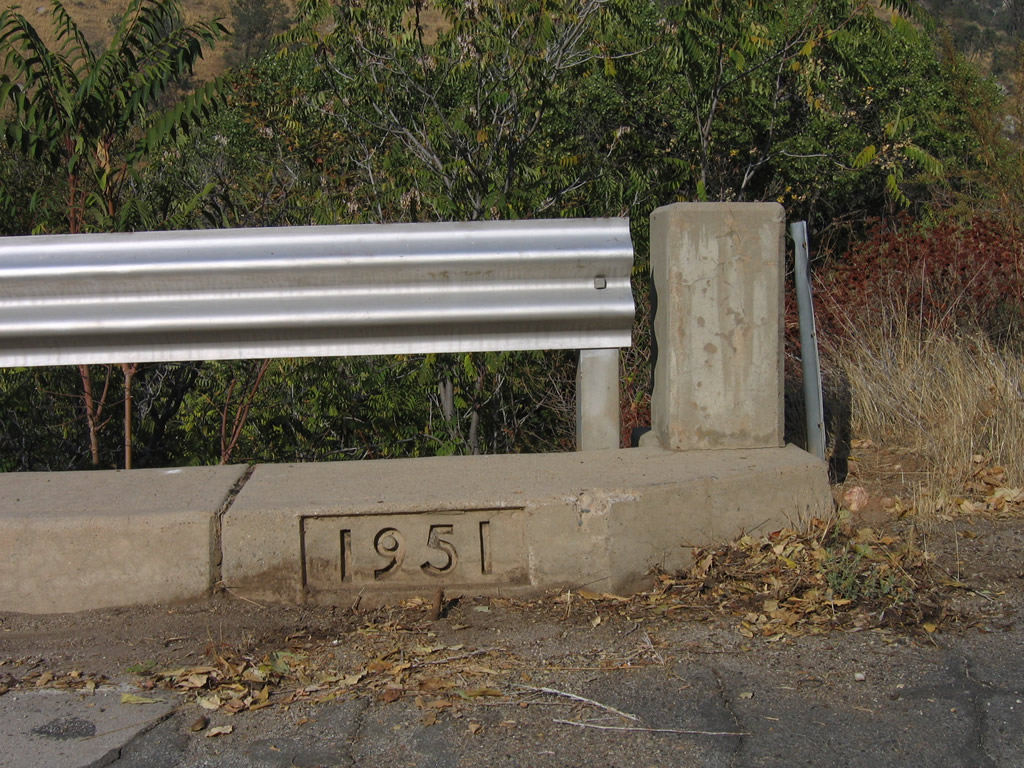
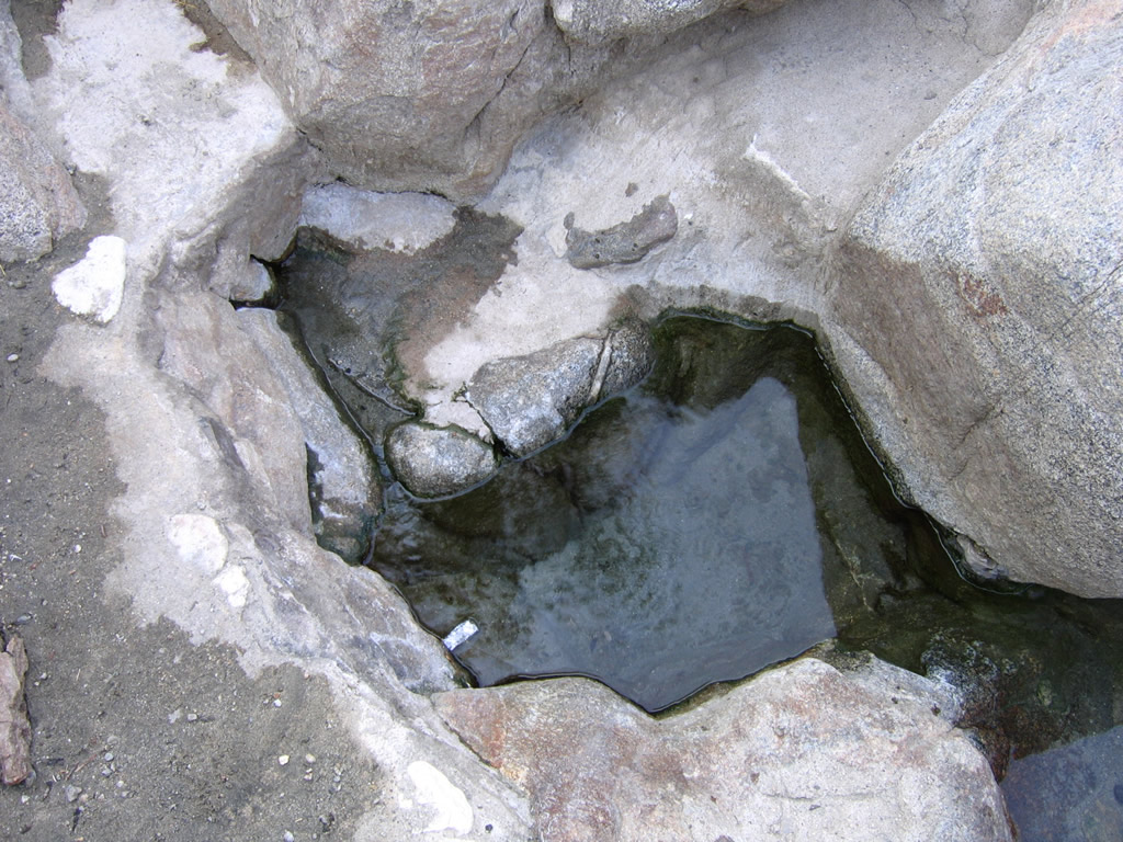
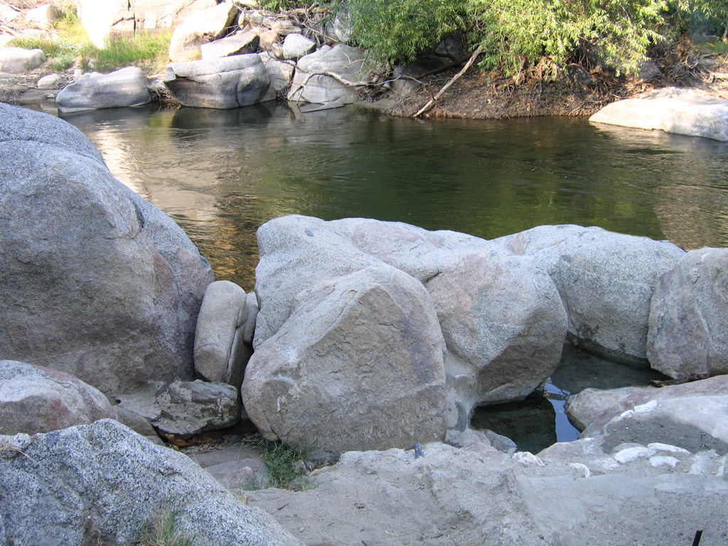
On Old California 178 (Kern Canyon Road) is a 1951 bridge and a campground area known as Hobo. The nearby Miracle hot springs are popular for soaking.
10/07/06
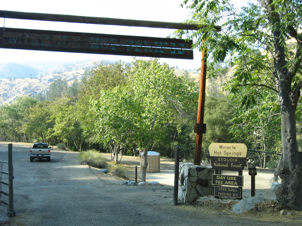
Nearby Miracle Hot Springs are situated on the Kern River. People commonly soak in the springs, which are warm when compared to the river's coldness.
10/07/06
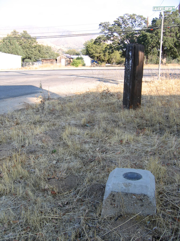
A 1969 mileage sign and a C Block are posted on eastbound Kern Canyon Road (Old California 178) at Caliente-Bodfish Road in the unincorporated community of Bodfish.
10/07/06
This California 178 trailblazer is posted on eastbound Lake Isabella Boulevard prior to the intersection with Norris Road. Turn left here to the Norris Road interchange.
10/07/06
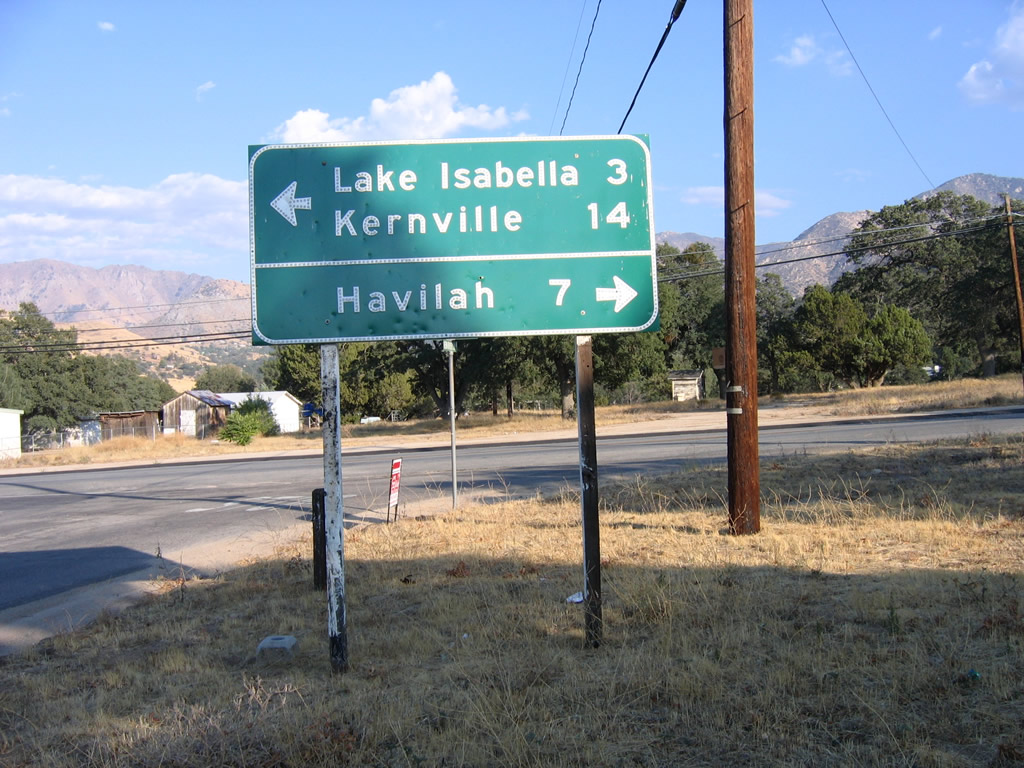
Passing through the Lake Isabella business district, eastbound Lake Isabella Boulevard approaches Kernville Road, which travels northwest to connect to California 155 north to Kernville and California 178 west to Bakersfield. Continue straight ahead to follow the business route to join California 178 east to Walker Pass.
10/07/06
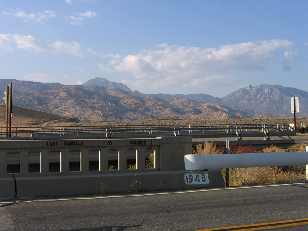
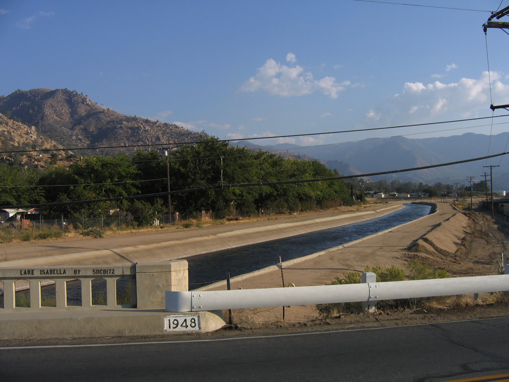
Continuing east, Lake Isabella Boulevard (old California 178) crosses an old bridge with concrete railing. This bridge crosses the Borel Canal, which carries water from Lake Isabella to the Borel hydroelectric power station southwest of Bodfish. The Borel Canal bridge was built in 1948.
10/07/06
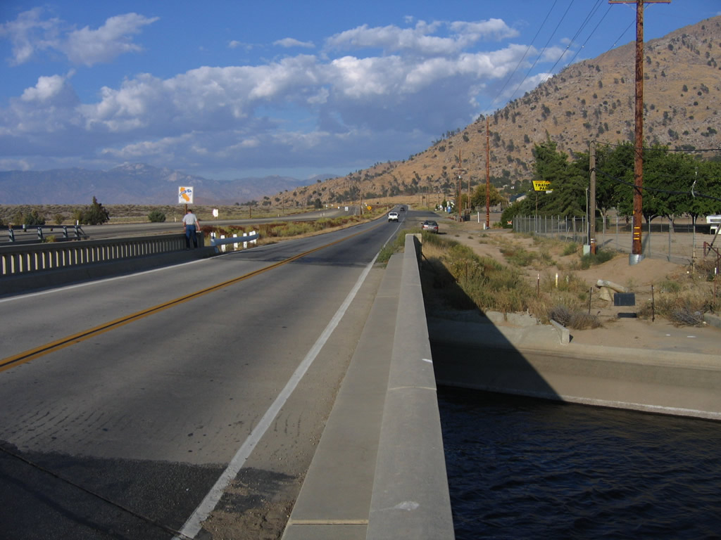
The newer California 178 freeway and older Lake Isabella Boulevard run side by side briefly before the two merge together.
10/07/06
Lake Isabella Boulevard turns sharply north reconnect with California 178 at its eastern end.
10/07/06
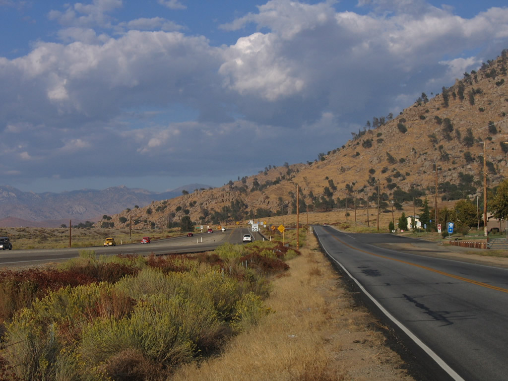
Eastbound Lake Isabella Boulevard ends at California 178, which downgrades to an expressway at this point.
10/07/06
Photo Credits:
- Andy Field: 10/07/06, 03/15/09
Connect with:
Page Updated Friday October 23, 2009.