
State Route 161
California 161 is an east-west highway that closely parallels the California-Oregon state line between U.S. 97 and California 139 at Tulelake via the Lower Klamath National Wildlife Refuge.
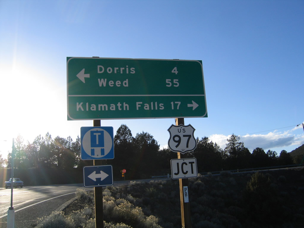
California 161 leaves U.S. 97 northeast of Dorris and travels east through the Lower Klamath National Wildlife Refuge to Tulelake and Malin, Oregon.
04/01/05
To the south of California 161 near the U.S. 97 intersection is Indian Tom Lake.
04/01/05
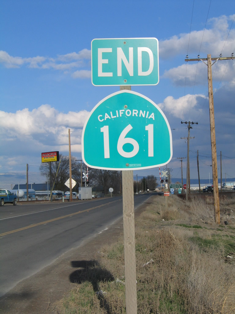
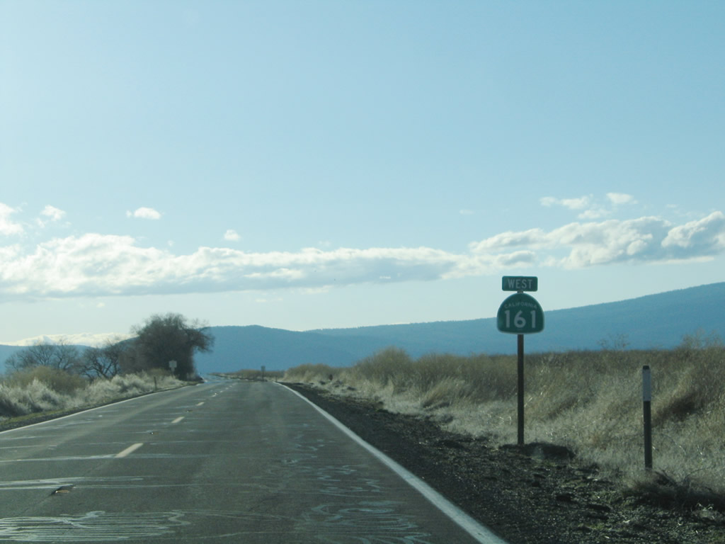
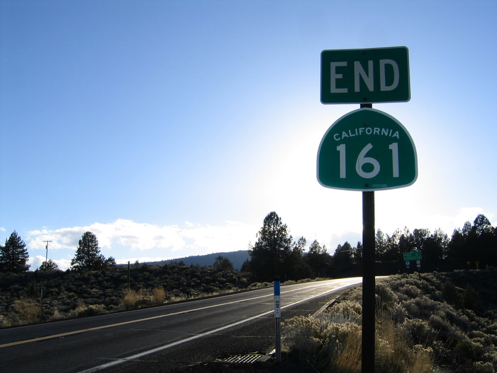
SR 161 east concludes at Hatfield along the state border with California State Route 139 south and Oregon Route 39 north. Beyond SR 139, county-maintained State Line Road extends east toward Malin, Oregon.
04/01/05
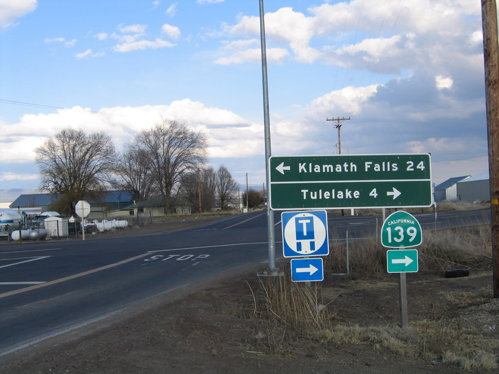
Oregon Route 39 angles northwest to Stone Bridge while SR 139 travels southeast to Tulelake and Newell.
04/01/05
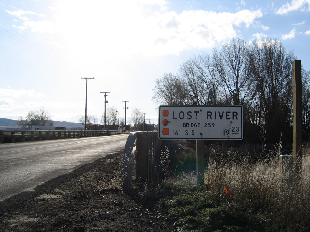
After departing from the California 139 intersection, westbound California 161 crosses over the Lost River.
04/01/05
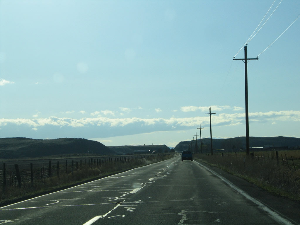
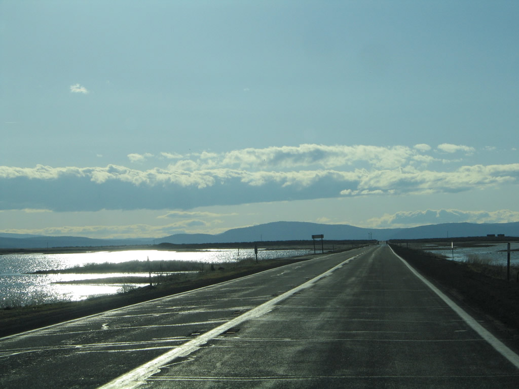
Passing through Ainsworth Corner, westbound California 161 will pass through the High Rim (note road cut in the distance), then descend toward the Lower Klamath Lake.
04/01/05
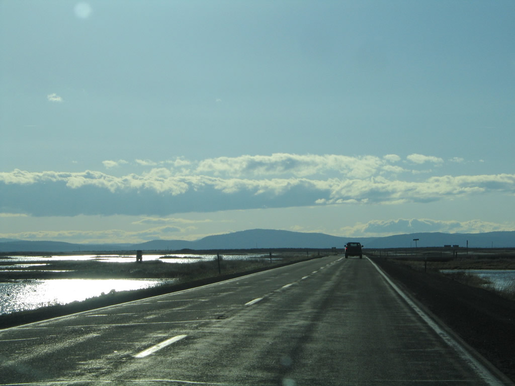
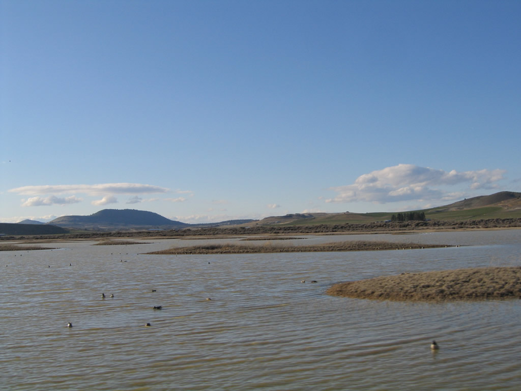
After the High Rim road cut, California 161 west enters Lower Klamath National Wildlife Refuge, which was established in 1908 and is the first refuge devoted to waterfowl. Both sides of California 161 have wetlands and ponds that form part of the habitat for migratory birds. With a particularly wet winter in 2004-5, the wetlands are especially full.
04/01/05
With wetlands on both sides of the state highway, it is doubtful that this road would be built given strict environmental concerns today. However, California 161 offers an unparalleled view of a major wetland preserve.
04/01/05
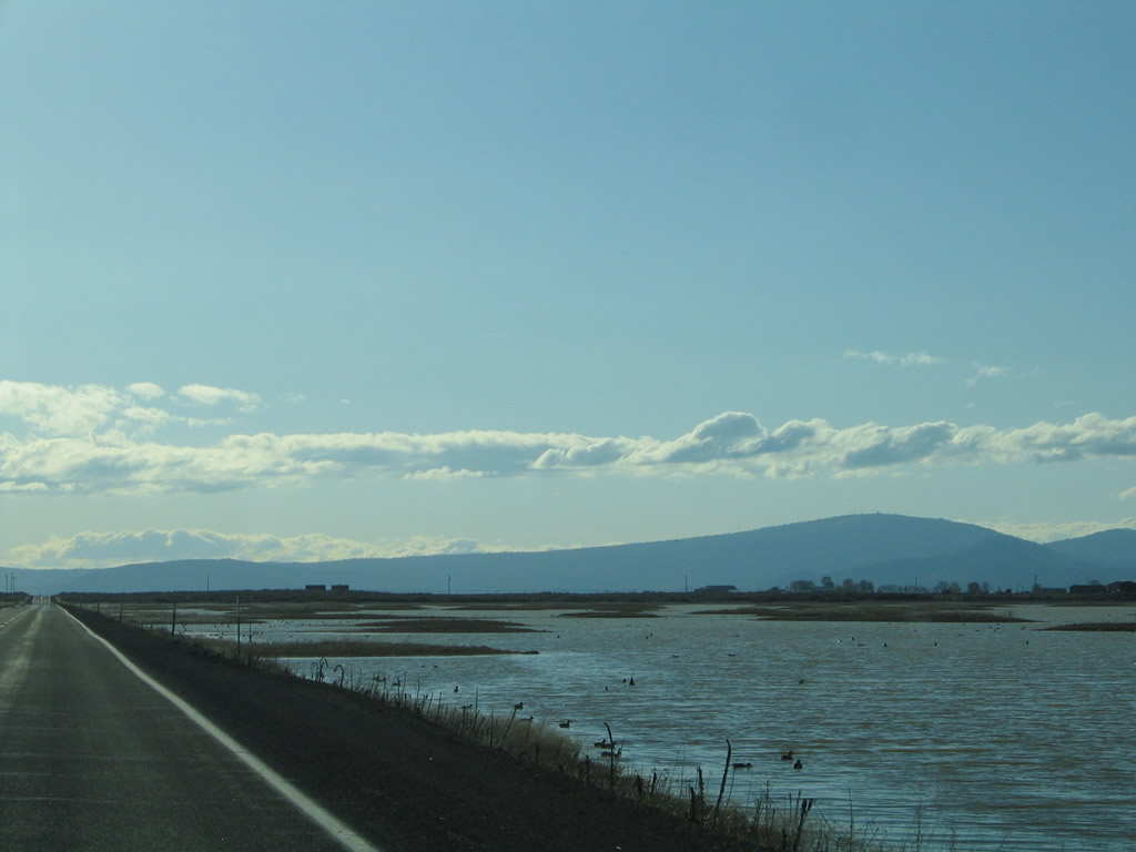
During this wet winter, the pools of water tended to be full. Birds were swimming on both sides of the highway.
04/01/05
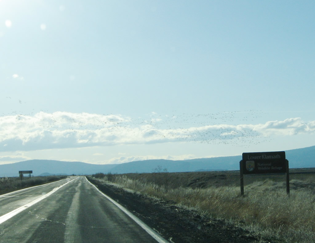
Large flocks of birds pass over California 161 as the highway passes the Lower Klamath National Wildlife Refuge sign.
04/01/05
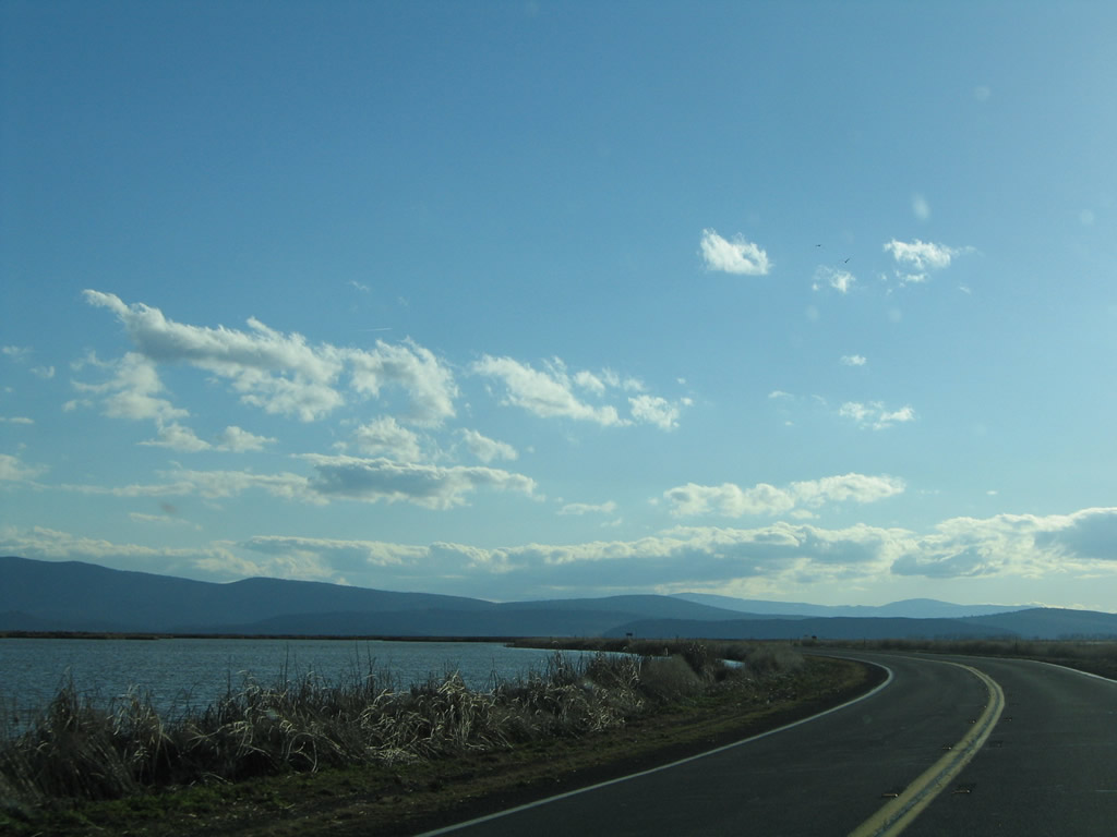
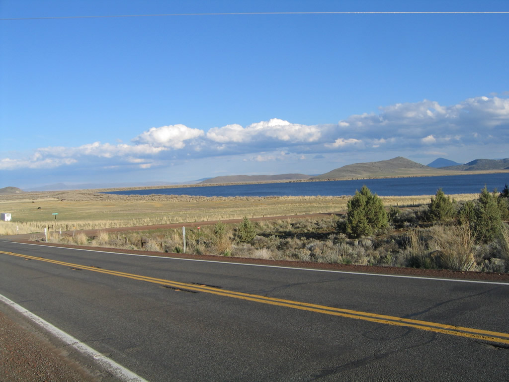
California 161 turns a bit southwest to follow the north shore of Lower Klamath Lake, leaving the California-Oregon state line for the next several miles. This offers some curvature to a road that is mostly due east-west.
04/01/05
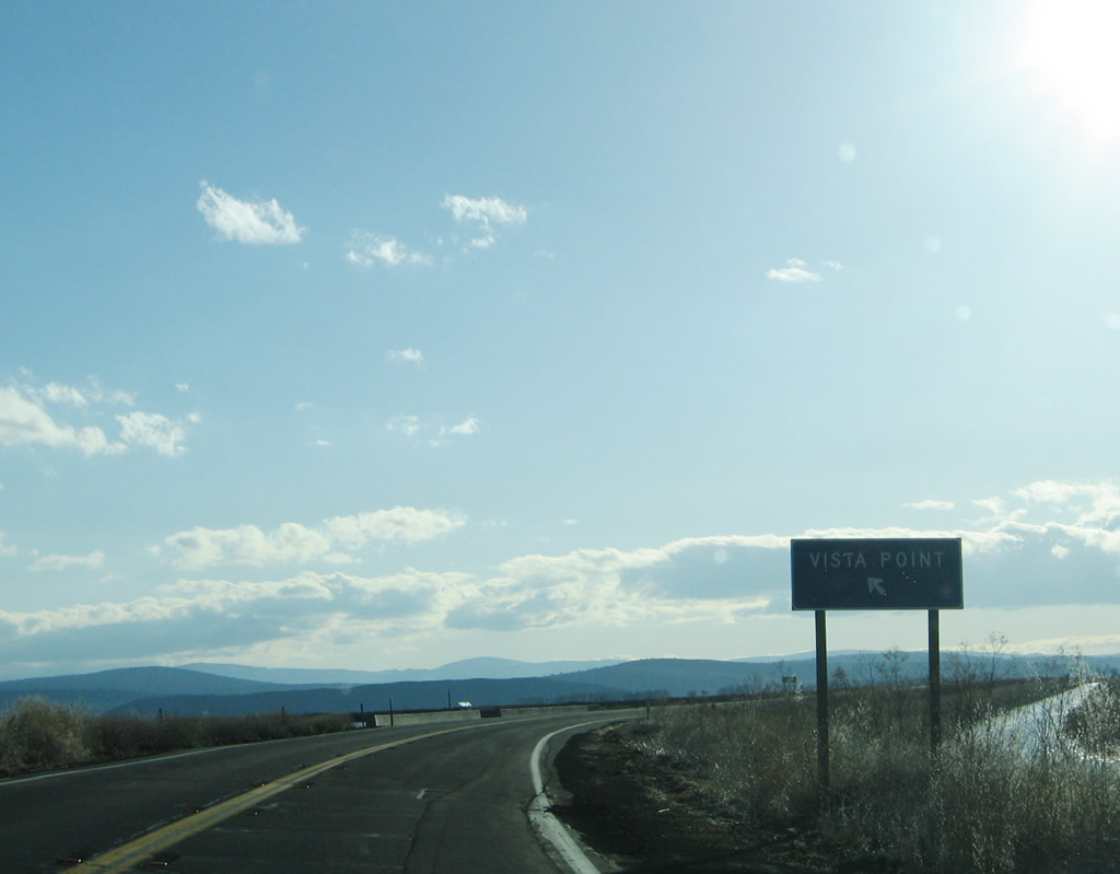
Exit left to a Vista Point on the north side of Lower Klamath Lake.
04/01/05
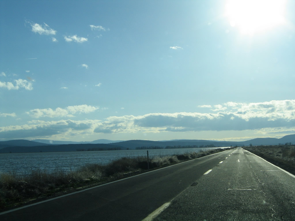
California 161 runs along the north side of Lower Klamath Lake west toward Otey Island.
04/01/05
SR 161 passes just south of the Oregon state line before shifting away from the border west across Lake Miller.
04/01/05
SR 161 ties into U.S. 97 northwest of Indian Tom Lake and east of Dorris Hill.
04/01/05
U.S. 97 heads north into Oregon ahead of Lake Miller. The highway continues north to Klamath Falls.
04/01/05
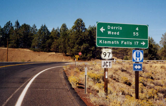
South from SR 161, U.S. 97 crosses Dorris Hill into Dorris before entering Butte Valley. U.S. 97 crosses the Cascade Range southwest into Weed.
01/07/02
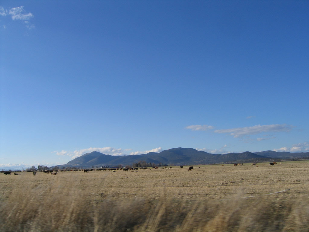
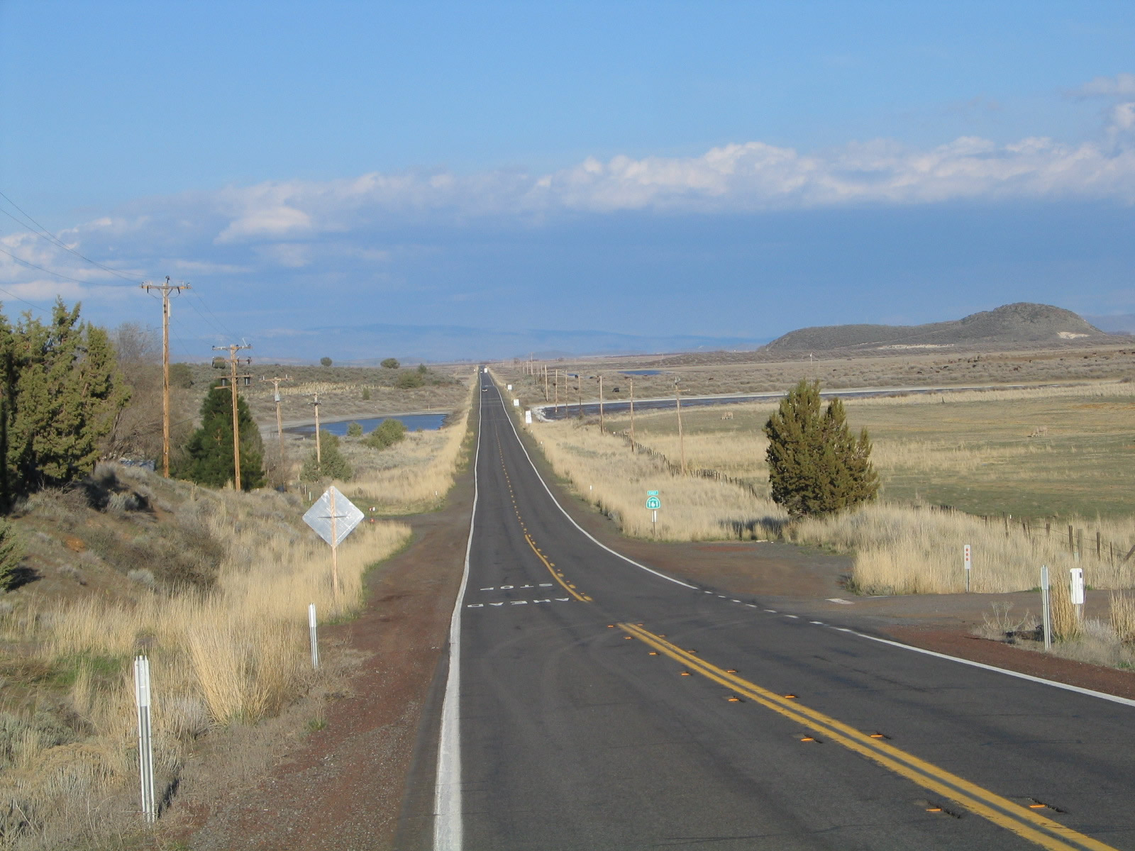
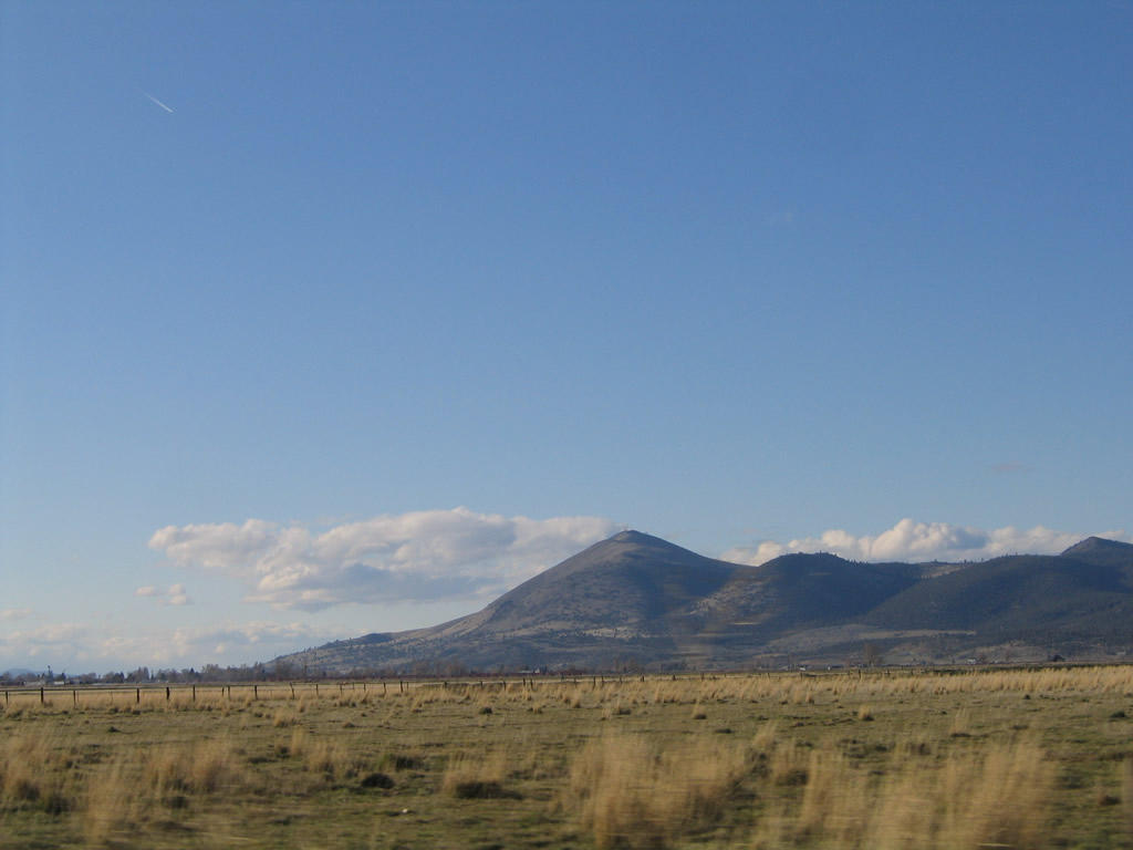
Between California 139 and the High Rim, California 161 passes through ranchland and grazing areas such as these. The hills and mountains in the distance are all in Oregon.
04/01/05
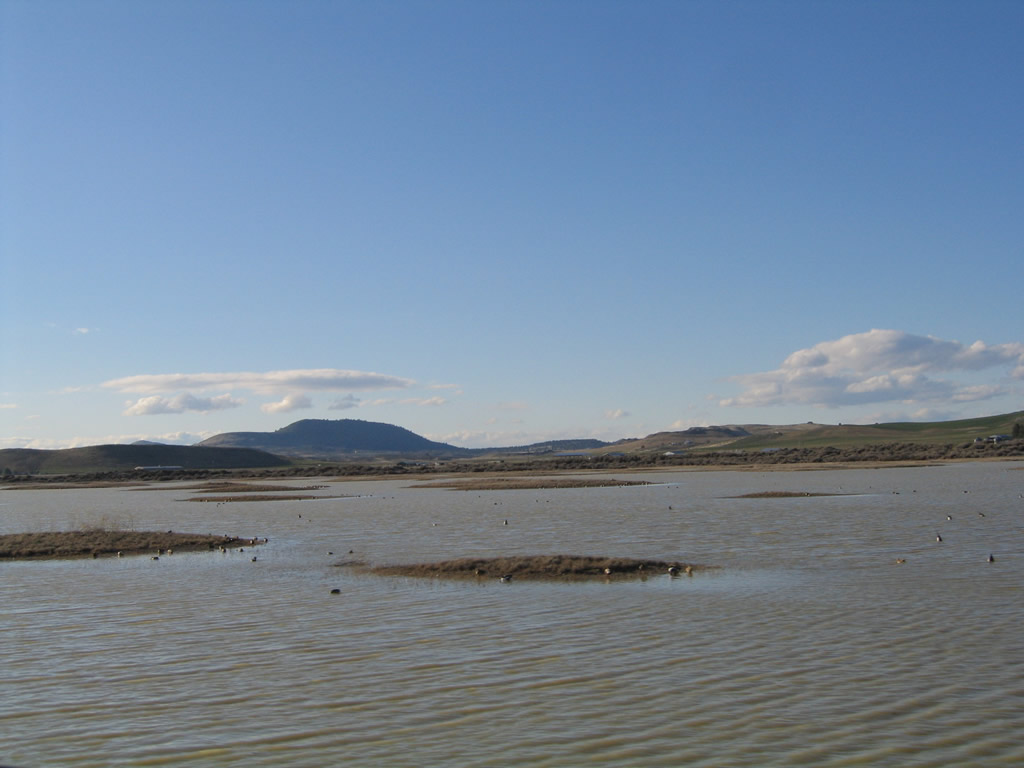
This view shows the Lower Klamath Wildlife Refuge looking north from California 161. Birds of all kinds rest on their migratory journeys at the refuge, which includes countless ponds and wetlands as well as Lower Klamath Lake.
04/01/05
Photo Credits:
- Andy Field: 04/01/05
- Dominic Ielati: 01/07/02
Connect with:
Page Updated Sunday April 15, 2007.