
State Route 168
California 168 was originally planned as a trans-Sierra Nevada route, beginning in Fresno and heading east through Bishop to the Nevada state line via modern U.S. 6. However, this trans-mountain route was never constructed, and U.S. 6 took over the segment of California 168 between U.S. 395 and the state line. Today, California 168 exists in three segments: from California 99 in Fresno northeast to Lakeshore in the Sierra Nevada Mountains; from a point in the Inyo National Forest northeast to U.S. 395 in Bishop; and from U.S. 395 in Big Pine northeast to California 266 in the Fish Lake Valley.
Prior to the construction of the Sierra Freeway segment of California 168 in Fresno, the state highway used to follow Shaw Avenue west to its former terminus at California 99.
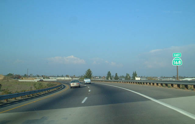
The state route begins as it transitions from California 180 to northbound Sierra Freeway. This freeway was opened in the early 2000s. Prior to that, California 168 followed Shaw Avenue through the cities of Fresno and Clovis.
12/01/02
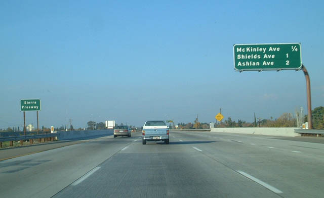
The first exit on eastbound California 168 (Sierra Freeway) is Exit 1, McKinley Avenue. Between Exits 1 and 3, eastbound California 168 is headed due north rather than east.
12/01/02
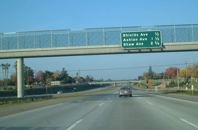
The next exit along eastbound California 168 (Sierra Freeway) is Exit 2, Shields Avenue, one-half mile.
12/01/02
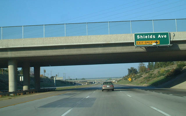
Shields Avenue is a major east-west arterial in Fresno.
12/01/02
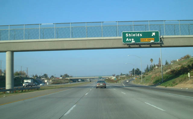
Eastbound California 168 (Sierra Freeway) reaches Exit 2, Shields Avenue.
12/01/02
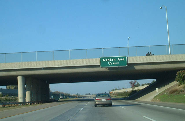
The next exit along eastbound California 168 (Sierra Freeway) is Exit 3, Ashlan Avenue, three-quarters of a mile.
12/01/02
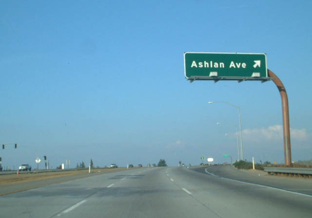
Eastbound California 168 (Sierra Freeway) reaches Exit 3, Ashlan Avenue. The freeway turns northeast between Exits 3 and 7.
12/01/02
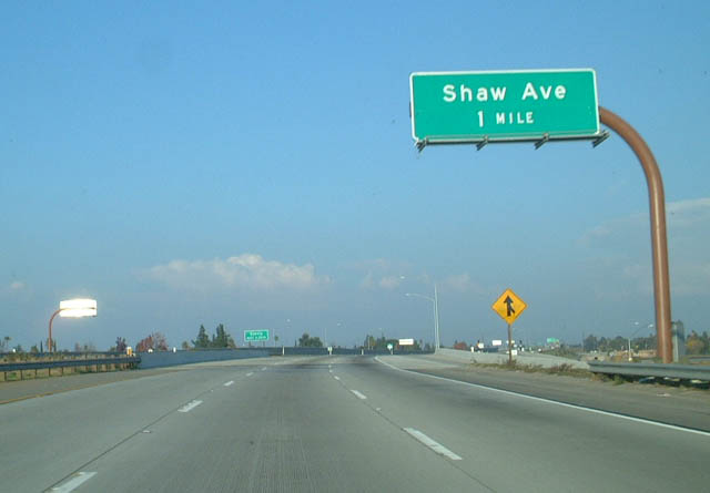
The next exit along eastbound California 168 (Sierra Freeway) is Exit 4, Shaw Avenue (Former California 168), one mile. This exit leads to California State University at Fresno (CSUF), which sits northwest of the California 168 freeway.
12/01/02
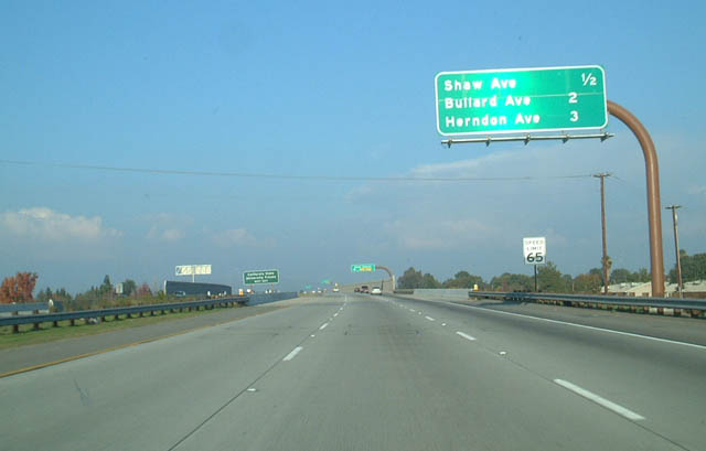
Angling toward the northeast, California 168 (Sierra Freeway) approaches Exit 4, Shaw Avenue, one-half mile.
12/01/02
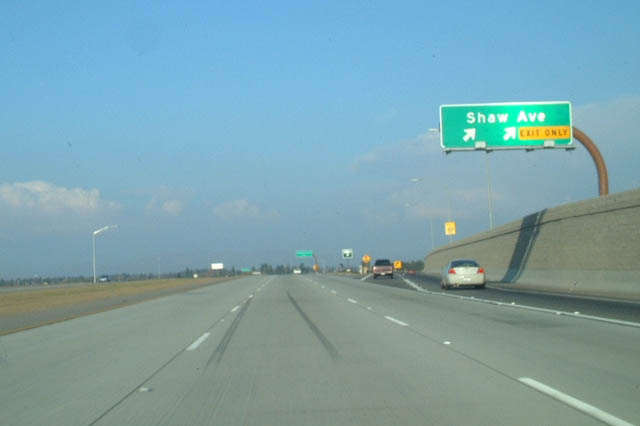
Eastbound California 168 (Sierra Freeway) reaches Exit 4, Shaw Avenue.
12/01/02
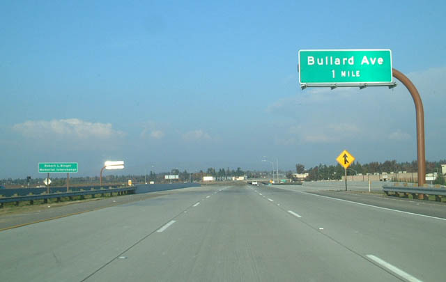
The next exit along eastbound California 168 (Sierra Freeway) is Exit 6, Bullard Avenue, one mile.
12/01/02
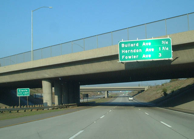
Still traveling northeast, California 168 (Sierra Freeway) approaches Exit 6, Bullard Avenue, three-quarters of a mile. This is the final exit to serve the city of Fresno; California 168 will soon enter the city of Clovis.
12/01/02
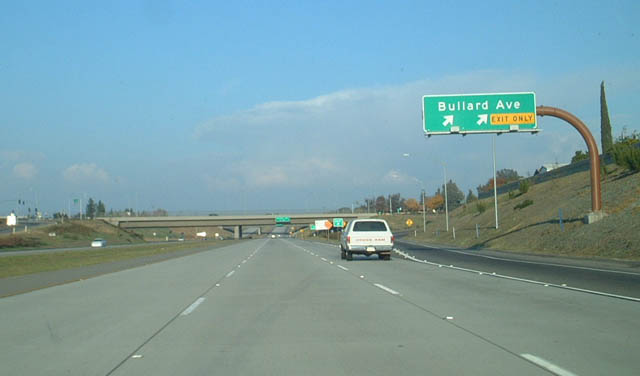
Eastbound California 168 (Sierra Freeway) reaches Exit 6, Bullard Avenue. This is the first exit for Clovis.
12/01/02
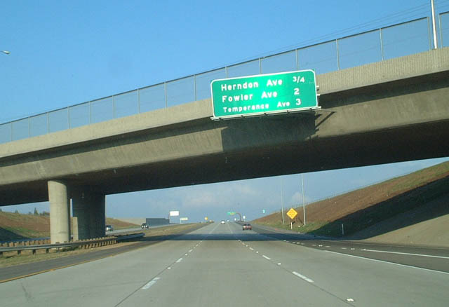
The next exit along eastbound California 168 (Sierra Freeway) is Exit 7, Herndon Avenue, three-quarters of a mile.
12/01/02
Eastbound California 168 (Sierra Freeway) approaches Exit 7, Herndon Avenue, next right.
12/01/02
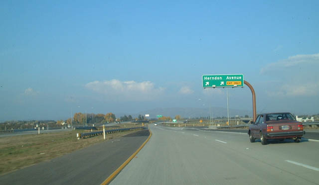
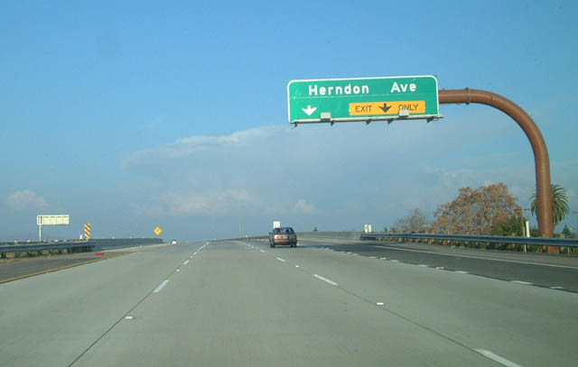
Eastbound California 168 (Sierra Freeway) reaches Exit 7, Herndon Avenue. The freeway narrows from six to four lanes at Exit 7.
12/01/02
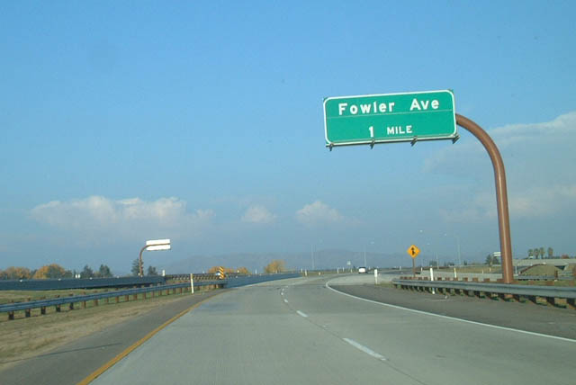
The next exit along eastbound California 168 (Sierra Freeway) is Exit 8, Fowler Avenue, one mile.
12/01/02
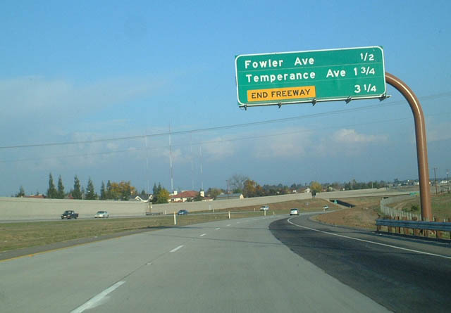
Eastbound California 168 (Sierra Freeway) approaches Exit 8, Fowler Avenue, one-half mile.
12/01/02
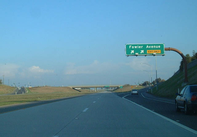
Eastbound California 168 (Sierra Freeway) reaches Exit 8, Fowler Avenue.
12/01/02
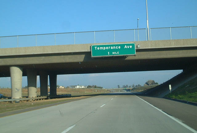
The next exit along eastbound California 168 (Sierra Freeway) is Exit 9, Temperance Avenue, one mile.
12/01/02
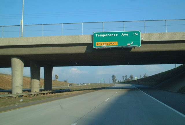
Eastbound California 168 (Sierra Freeway) approaches Exit 9, Temperance Avenue, one-quarter of a mile.
12/01/02
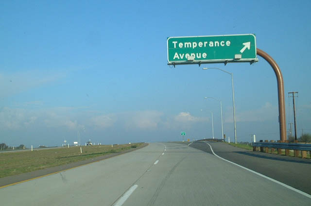
Eastbound California 168 (Sierra Freeway) reaches Exit 9, Temperance Avenue.
12/01/02
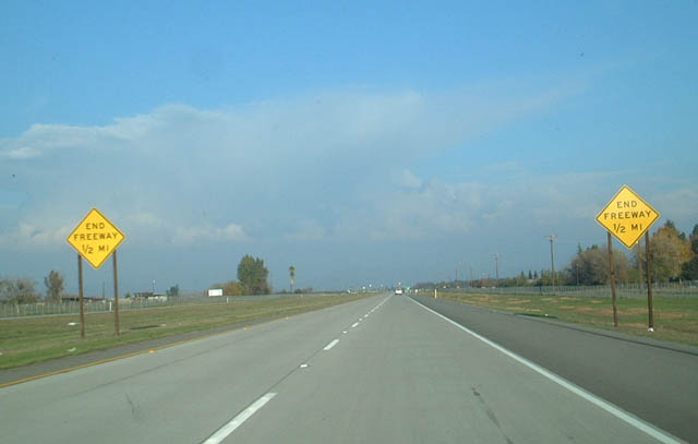
The final interchange along eastbound California 168 (Sierra Freeway) is Exit 10, Tollhouse Road and the end of the freeway, one-half mile.
12/01/02
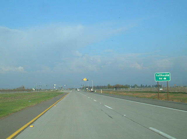
Eastbound California 168 (Sierra Freeway) approaches Tollhouse Road, one-quarter mile.
12/01/02
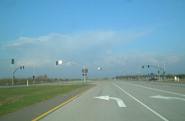
California 168 shifts from the Sierra Freeway onto an expressway alignment at the traffic signal for Tollhouse Road. The divided expressway continues for a short distance, and then the highway reverts to two lanes. Originally, California 168 was routed along Tollhouse Road all the way into downtown Clovis.
12/01/02
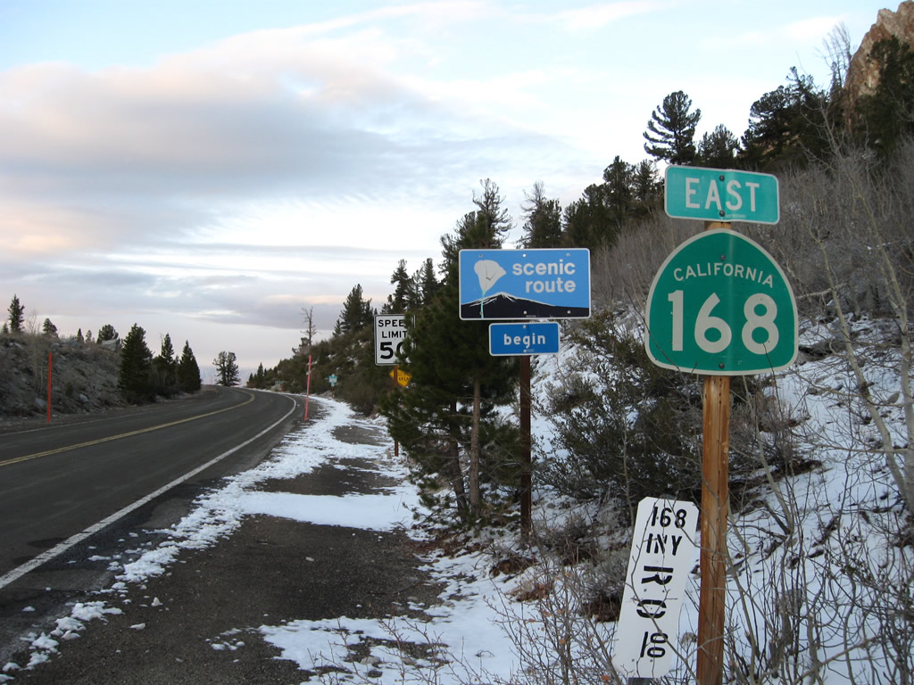
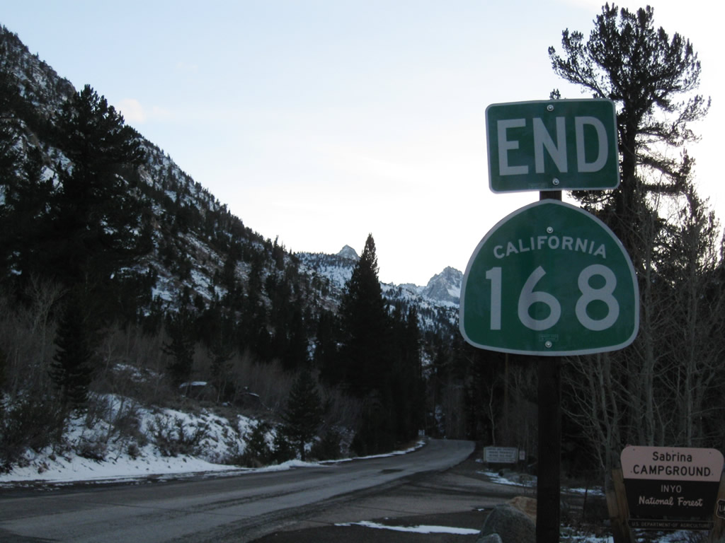
Leaving the Lake Sabrina campground, eastbound SR 168 commences along Bishop Creek toward the city of Bishop in the Owens Valley.
11/10/08
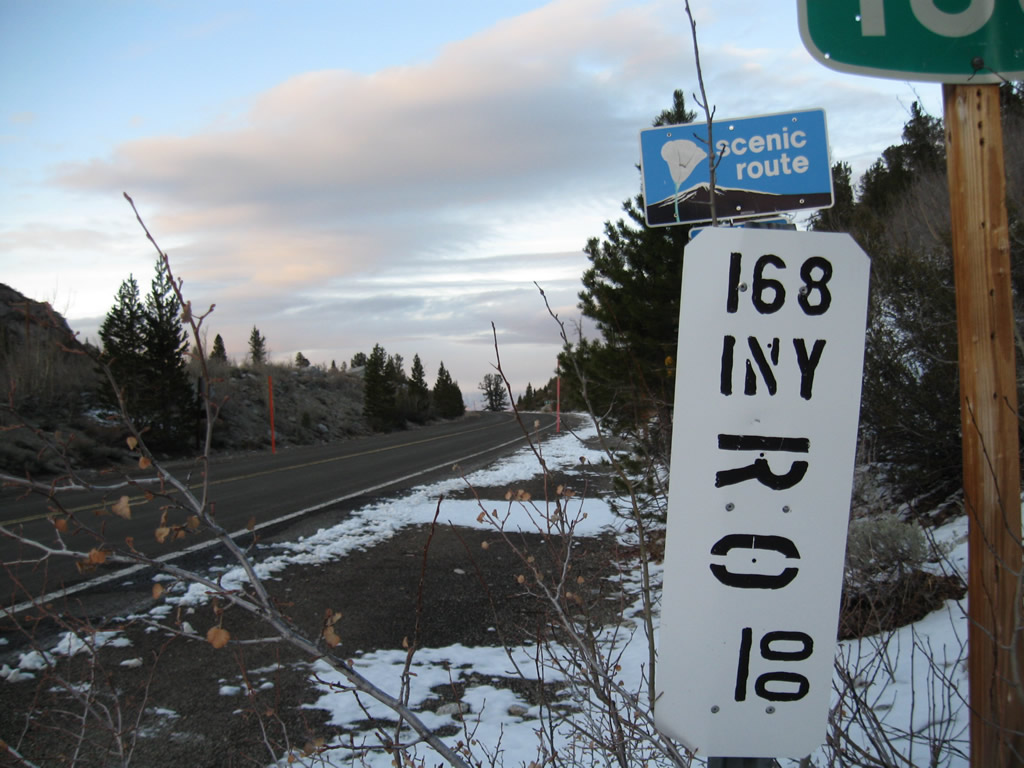
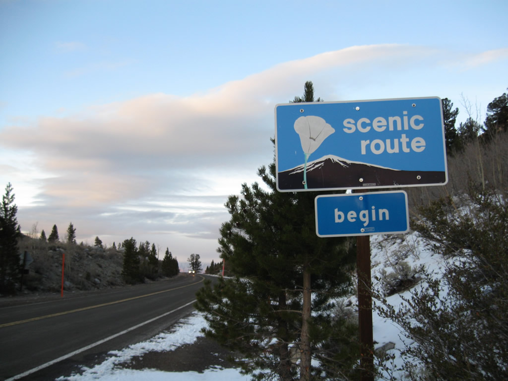
SR 168 is designated as an official state scenic route from Lake Sabrina to Bishop.
11/10/08
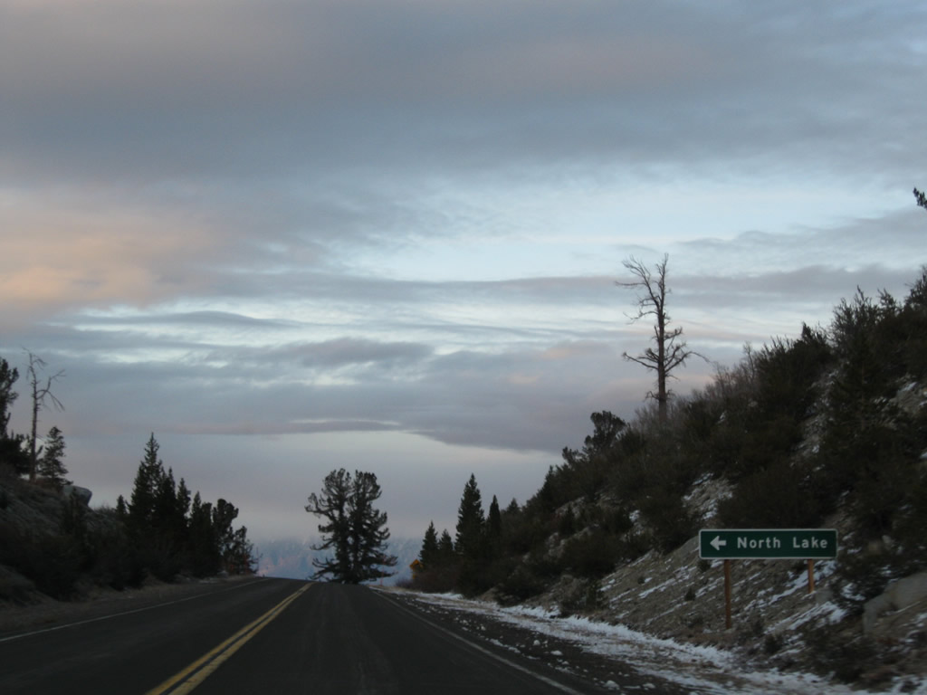
The first intersection found along California 168 (Eastern Sierra Segment) east is with North Lake Road, which travels to North Lake.
11/10/08
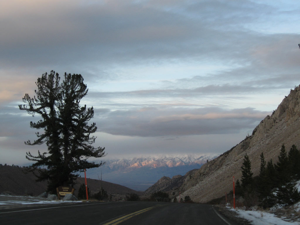
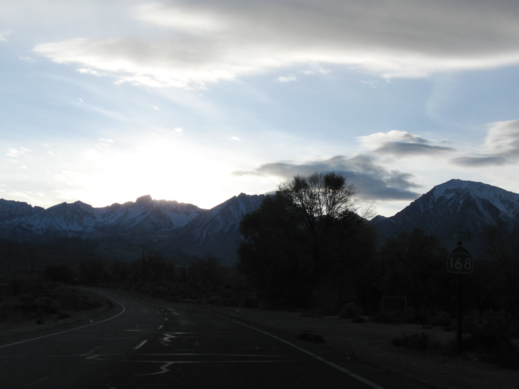
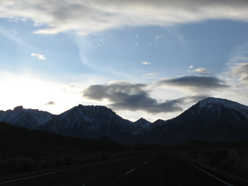
As the late-day sun retreated into the evening, views such as this opened up on eastbound California 168 as we begin the long descent into Bishop.
11/10/08
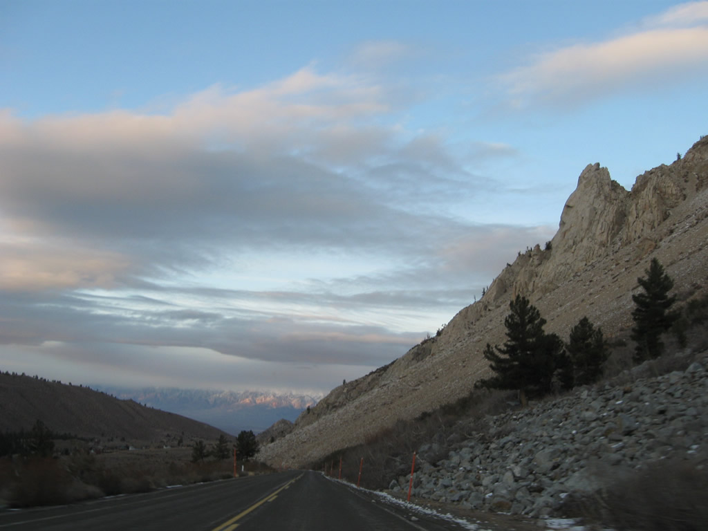
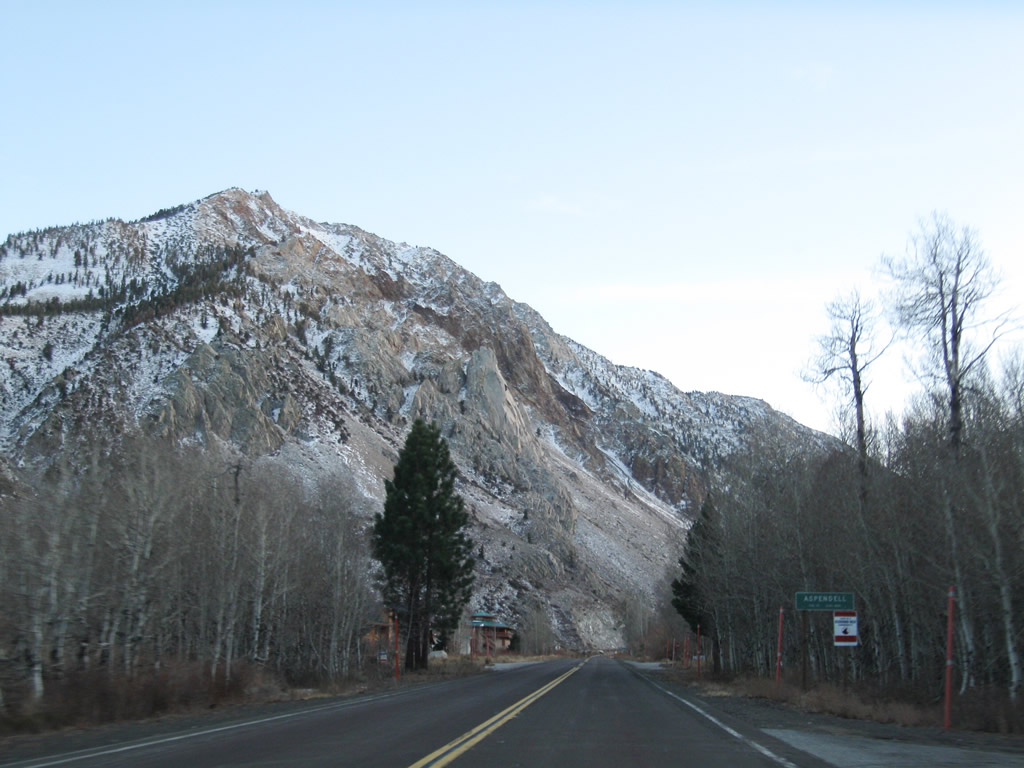
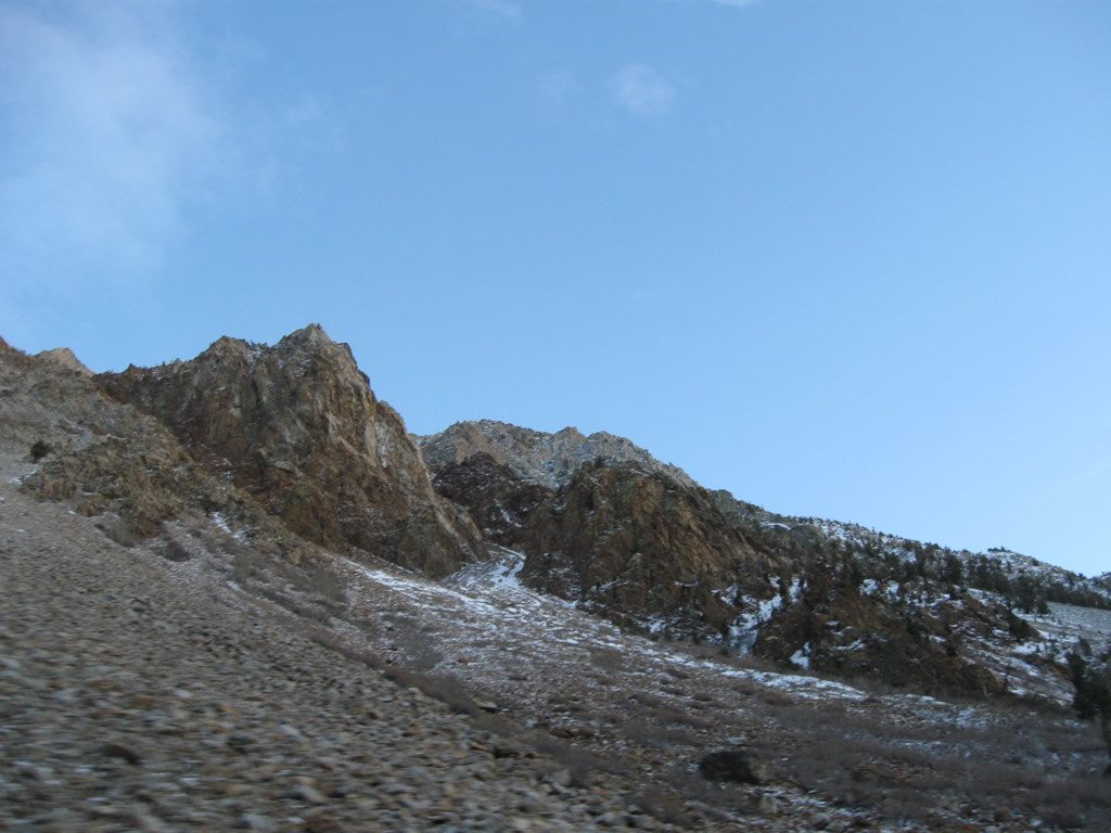
A large rock slide dominates the view as SR 168 continues toward the small community of Aspendell.
11/10/08
Watch for falling rocks along this section of roadway.
11/10/08
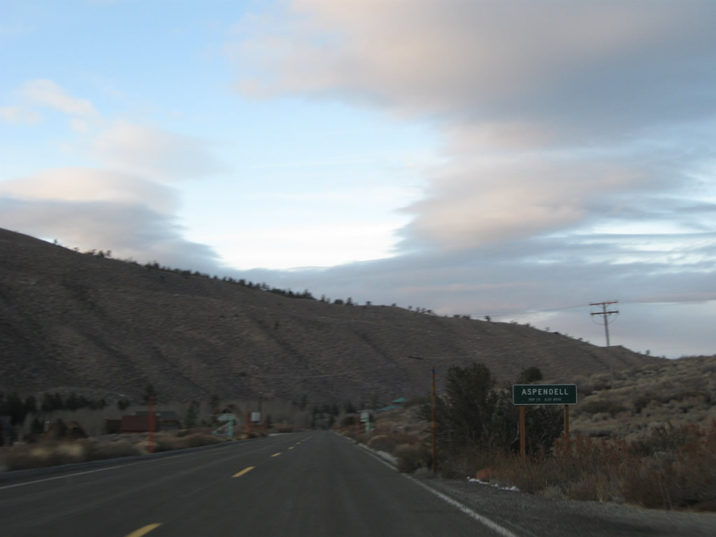
Eastbound California 168 enters the unincorporated community of Aspendell.
11/10/08
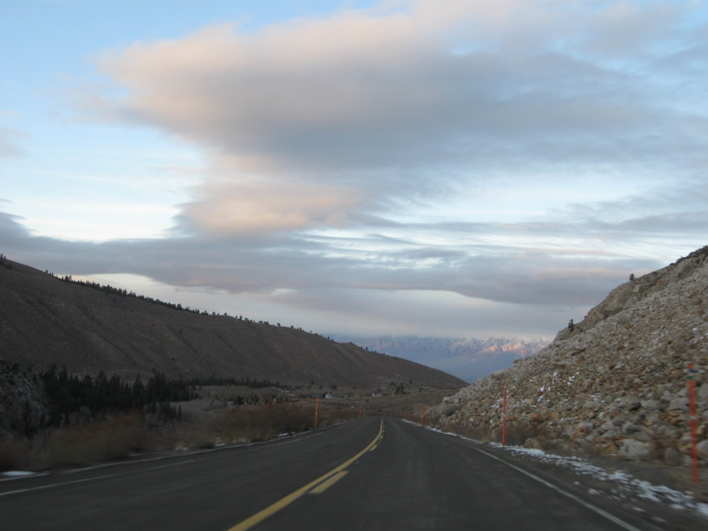
The descent out of Aspendell toward Bishop can be quite steep, amounting to a 7% grade in places. Watch for slow traffic and watch your speed on this sharp downhill grade.
11/10/08
California 168 leaves Inyo National Forest.
11/10/08
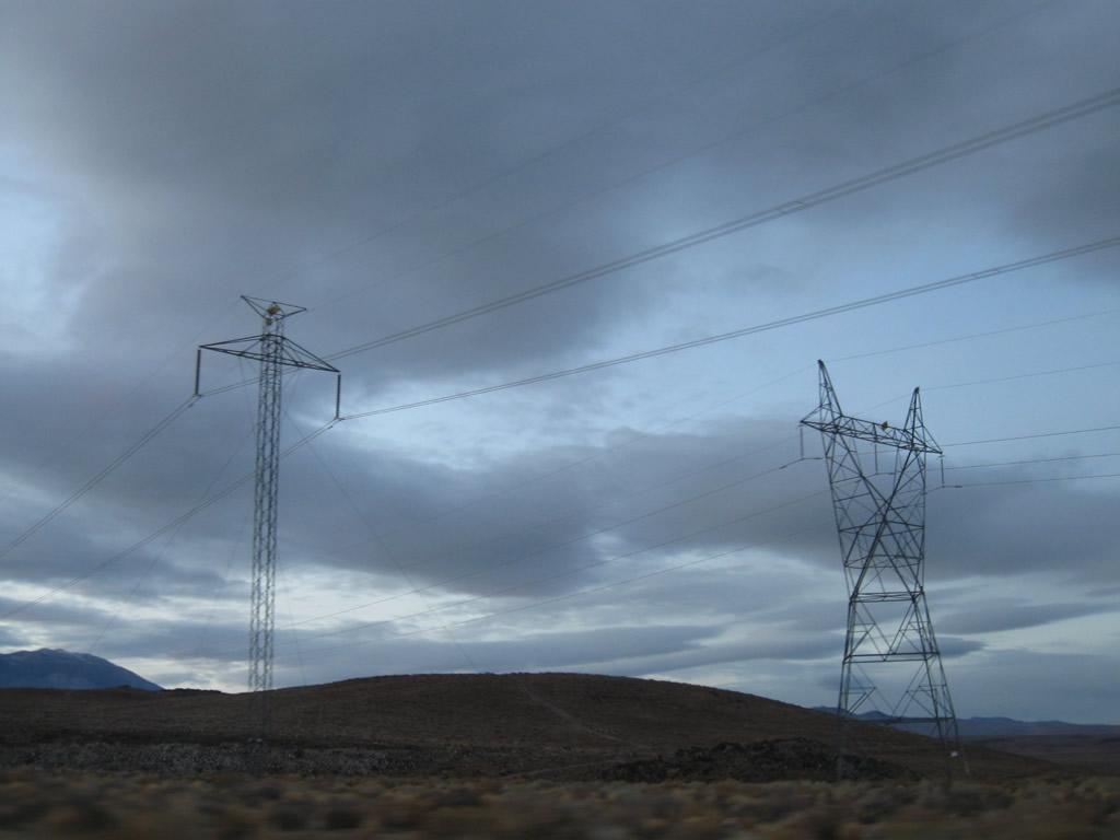
California 168 passes under the Path 65 power lines and the LADWP 230kV power lines.
11/10/08
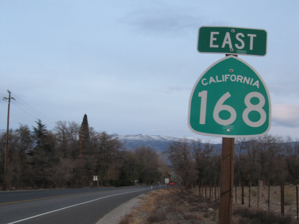
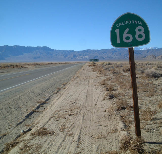
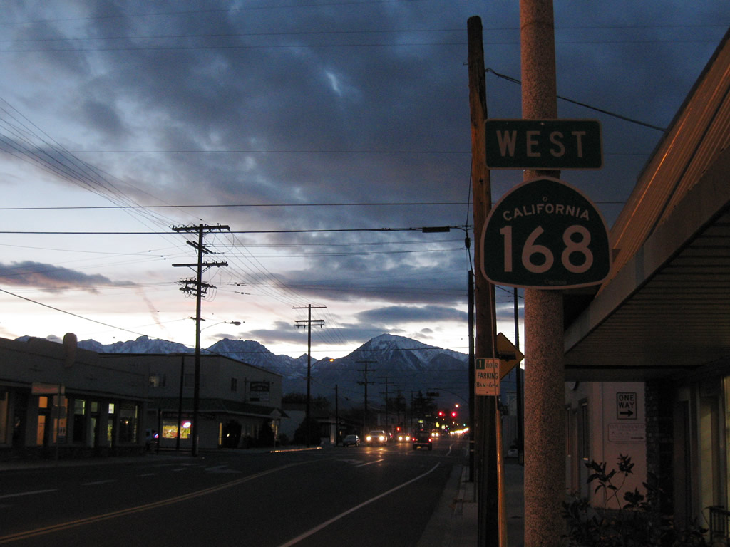
A California 168 east reassurance shield is posted prior to entering the urban areas of Bishop.
11/10/08
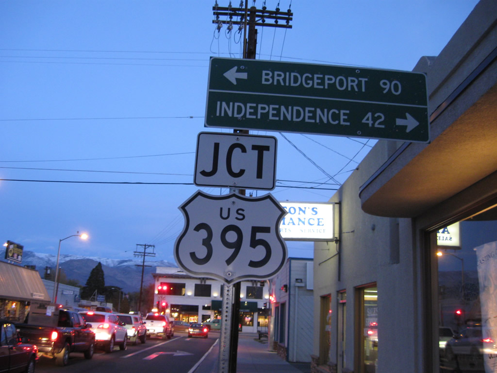
Within the city of Bishop, eastbound California 168 (Line Street) approaches U.S. 395 (Main Street). Turn left here to follow U.S. 395 north to Mammoth Lakes and Reno or U.S. 6 northeast to Benton and Montgomery Pass. Turn right to follow U.S. 395 south to Independence, Ridgecrest, and Los Angeles.
11/10/08
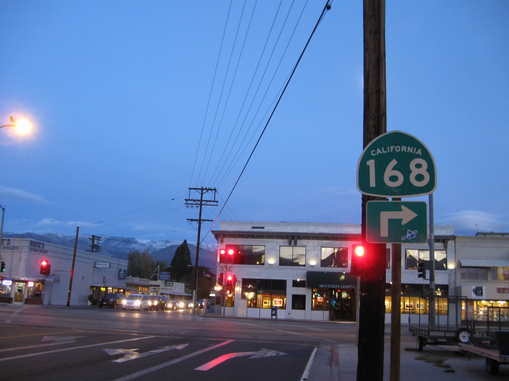
This shield advises that California 168 will turn right from eastbound Line Street onto southbound U.S. 395 (Main Street). The two routes will share alignment for about ten miles before splitting in Big Pine.
11/10/08
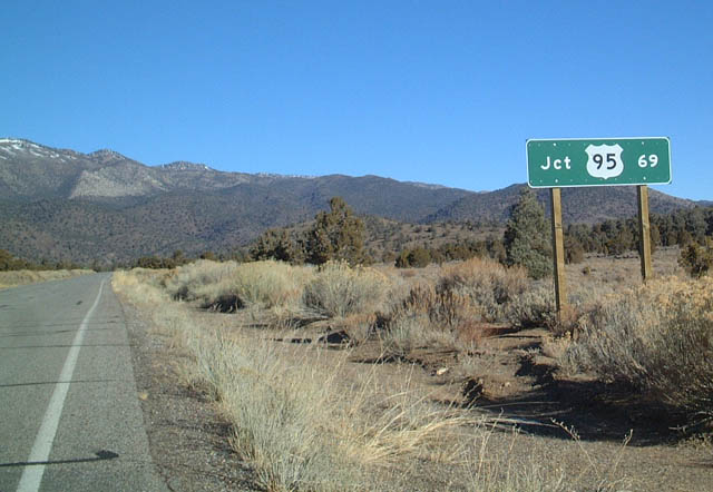
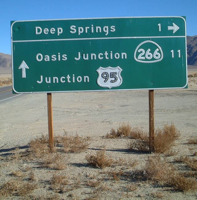
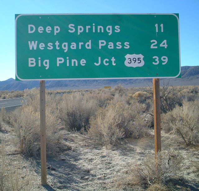
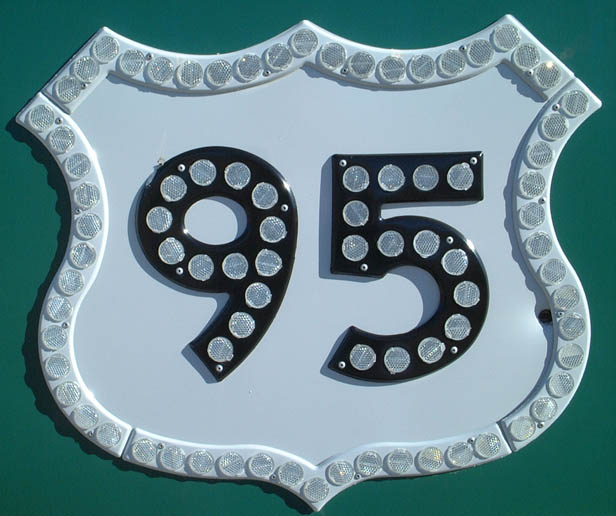
This mileage sign is posted on eastbound California 168 after the U.S. 395 junction in Big Pine. The mileage sign provides the distance to U.S. 95 in Nevada.
01/19/02
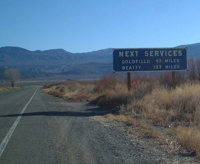
There are no services at all between Big Pine and Beatty and/or Goldfield. This includes not only Westgard Pass, but also Deep Springs Valley, Fishlake Valley, and Dyer, Nevada.
01/19/02
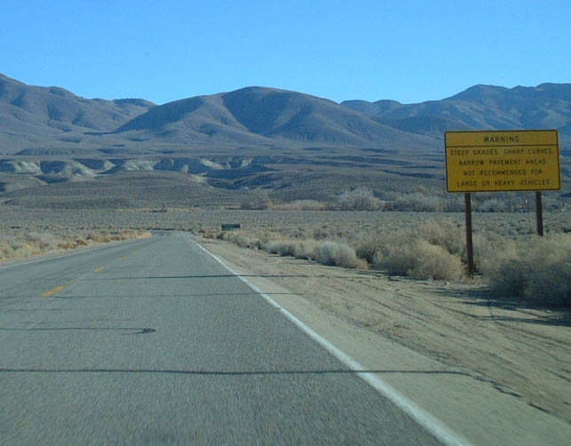
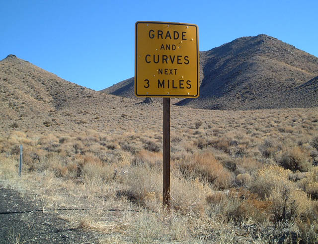
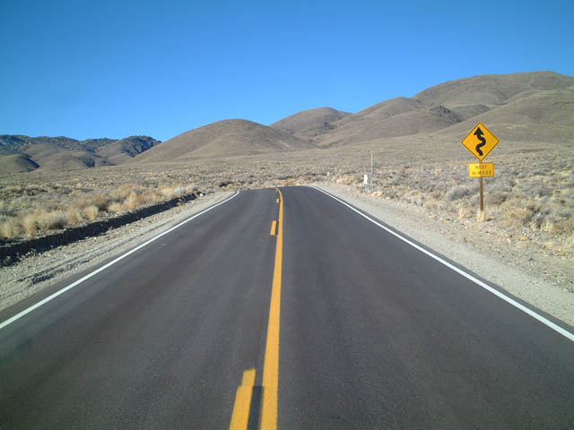
California 168 traverses several mountains and valleys, it can be windy and steep - hence why there's a sign warning motorists here.
01/19/02
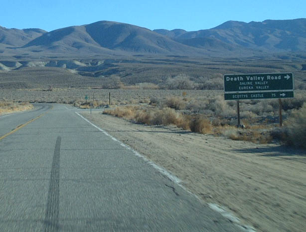
California 168 meets Death Valley Road at this intersection. This turnoff is located just east of Big Pine. Death Valley Road leads south along a paved/gravel road via Saline Valley along the western fringe of the national park. The road ultimately ends at California 190 near Darwin.
01/19/02
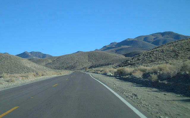
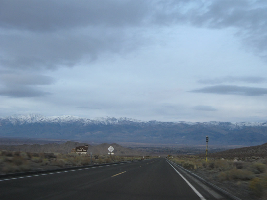
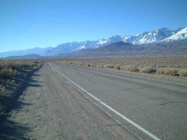
The White Mountains loom as California 168 continues east.
01/19/02
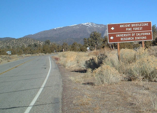
This turnoff connects California 168 with the Bristlecone Pine Forest.
01/19/02
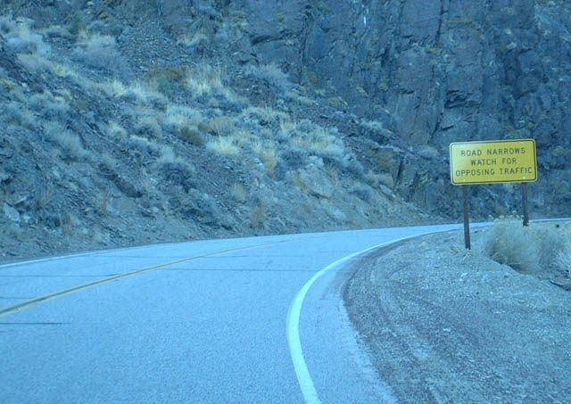
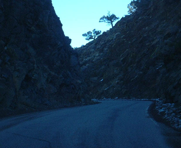
Approaching Westgard Pass, eastbound California 168 will become a one-lane highway. Watch for oncoming cars!
01/19/02
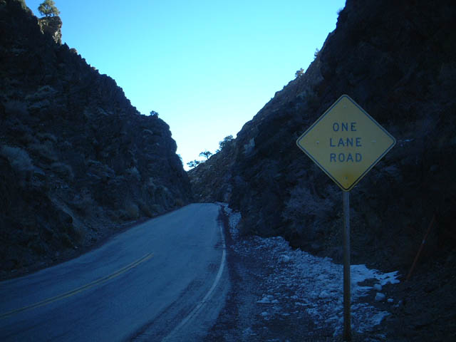
California 168 crosses Westgard Pass via this narrow one-lane segment. Although it does not seem like it, this picture was taken mid-morning, not at twilight. The area looks dark because the sunlight did not reach this narrow chasm on this Winter morning.
01/19/02
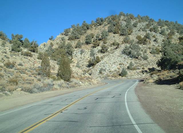
Upon leaving Westgard Pass, California 168 returns to a full two-lane highway after traveling through the narrow pass.
01/19/02
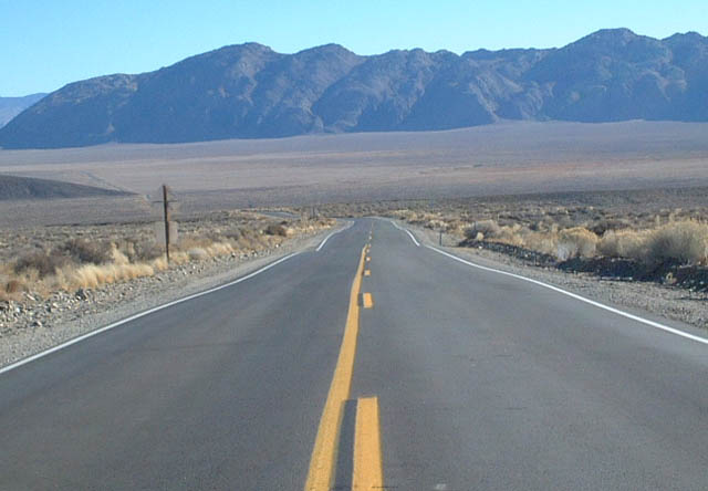
Descending from Westgard Pass, eastbound California 168 enters isolated Deep Springs Valley.
01/19/02
Eastbound California 168 at Deep Springs Ranch Road. This is the only evidence of civilization in this expansive valley located between Westgard Pass and Gilbert Summit. California 168 meets California 266 in Fishlake Valley, which is the next valley after Gilbert Summit.
01/19/02
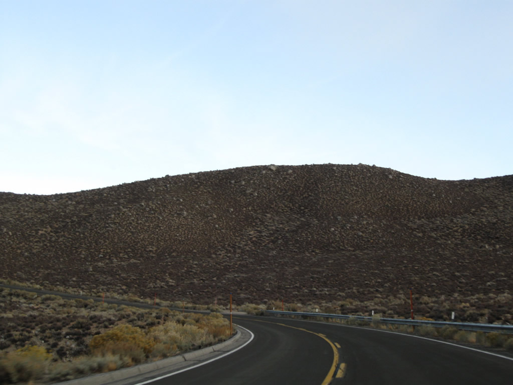
Traveling uphill again, eastbound California 168 approaches Gilbert Summit. The road is rather windy as it approaches the pass.
01/19/02
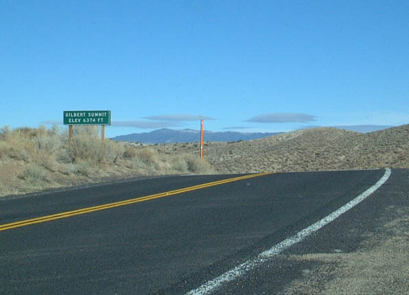
California 168 crosses Gilbert Summit, which is the high point between Deep Springs Valley and Fishlake Valley, elevation 6,374 feet.
01/19/02
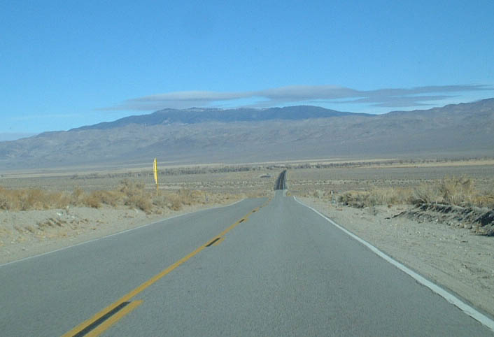
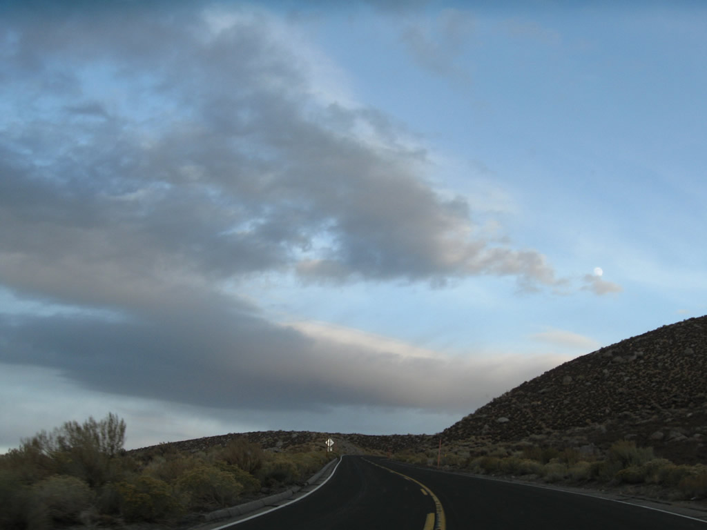
Shortly after cresting at Gilbert Summit, eastbound California 168 descends into Fish Lake Valley.
01/19/02
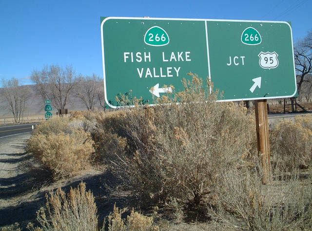
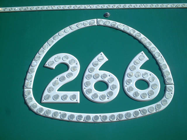
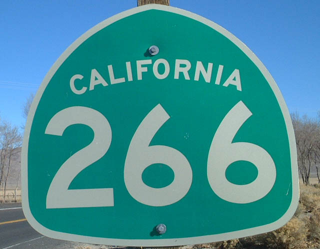
Eastbound California 168 at California 266 in Fish Lake Valley.
01/19/02
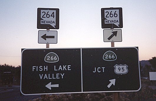
The guide sign on SR 168 east at SR 266 previously included shields for Nevada State Routes 264 and 266. This route has never been signed as "California 264."
1999
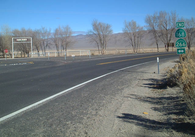
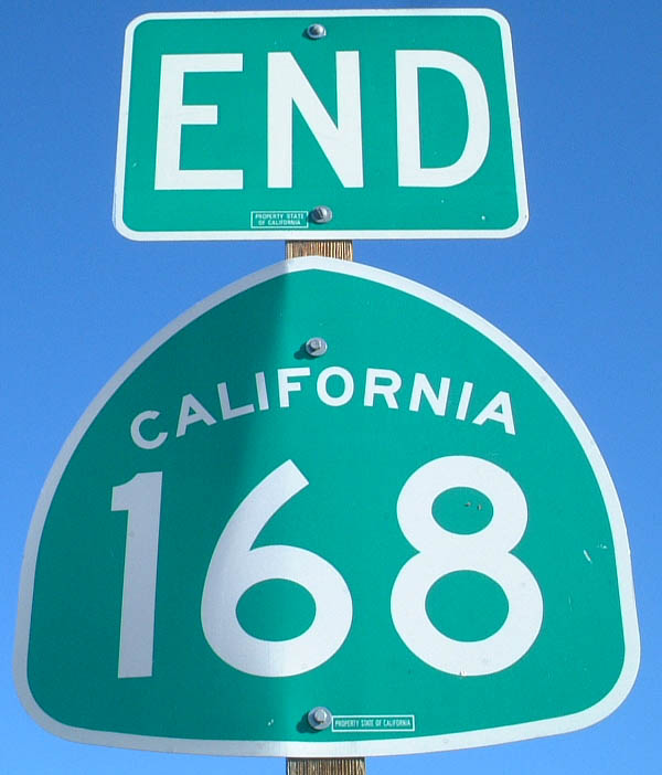
An end shield for SR 168 was posted at SR 266 in Fish Lake Valley.
01/19/02
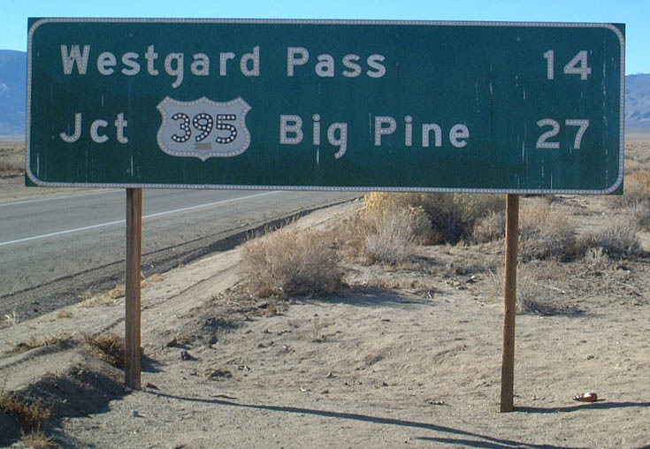
Westbound California 168 mileage sign after the Fish Lake Valley Junction with California 266.
01/19/02
This California 168 west shield is posted after the Deep Springs cutoff.
01/19/02
This mileage sign is found along westbound California 168 after the Deep Springs cutoff.
01/19/02
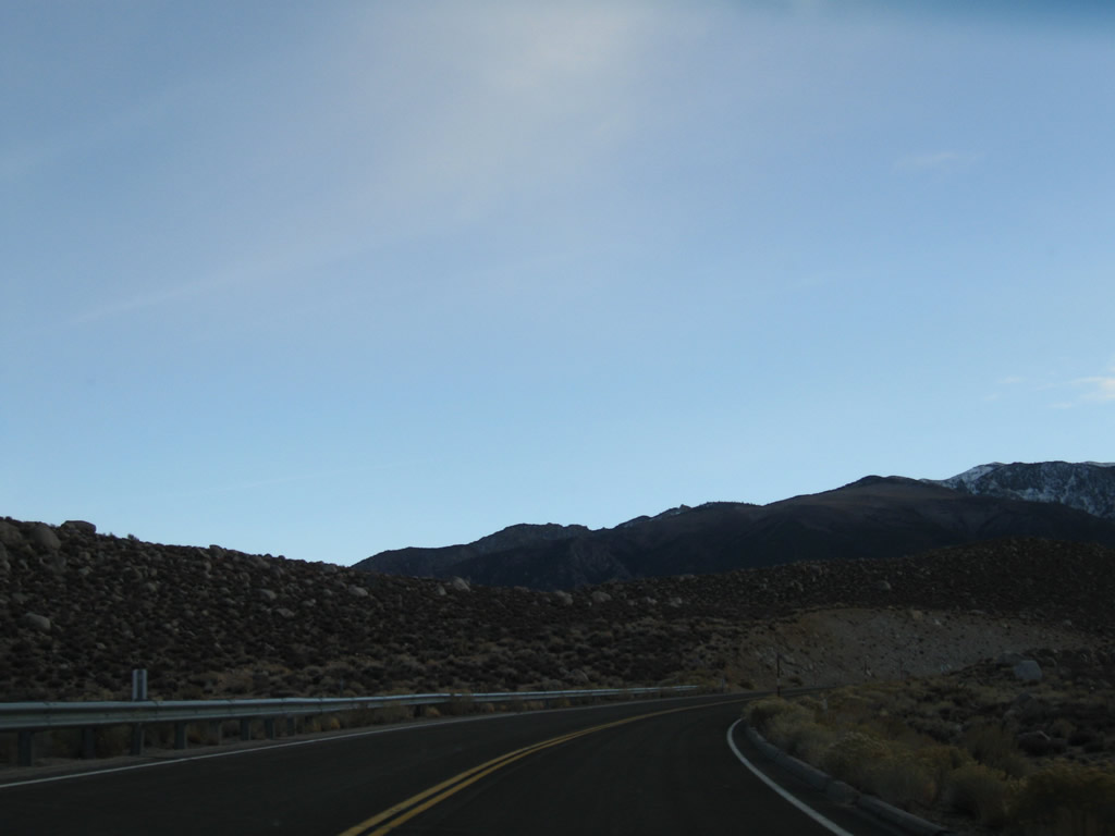
Westbound California 168 ascends toward Westgard Pass from Deep Springs Valley.
01/19/02
The dominating and majestic eastern slope of the Sierra Nevada Mountains as seen along westbound California 168in Deep Springs Valley.
01/19/02
Leaving the intersection with U.S. 395, a California 168 west reassurance shield is posted along West Line Street. The state route will travel west to West Bishop, then southwest to Lake Sabrina, near which the state highway ends. California 168 does not extend across the Sierra Nevada, but an orphaned section of California 168 exists in Fresno County.
11/10/08
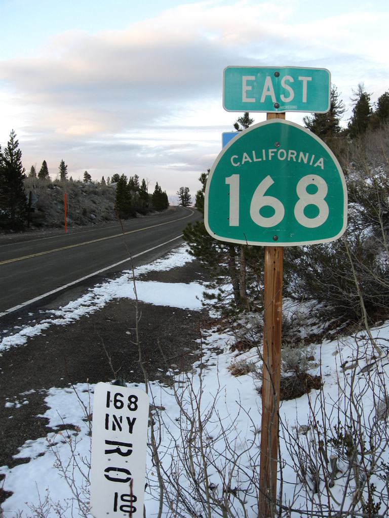
After a couple miles passing through the city of Bishop into West Bishop, another California 168 east reassurance shield is posted. From here, the state highway will follow Bishop Creek to Aspendell and Lake Sabrina.
11/10/08
A pair of Los Angeles Department of Water and Power transmission lines cross over California 168. One is a high-voltage direct current line connecting Celilo Converter Station near The Dalles, Oregon, and Sylmar Converter Station in Los Angeles (part of Path 65). The other brings power generated along the Owens River south to Los Angeles.
11/10/08
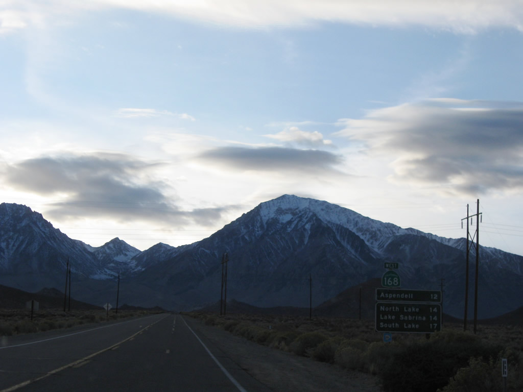
This mileage sign along California 168 west provides the distance to the following four destinations: Aspendell (12 miles), North Lake (14 miles), Lake Sabrina (14 miles), and South Lake (17 miles via South Lake Road). The state route ends just west of Aspendell.
11/10/08
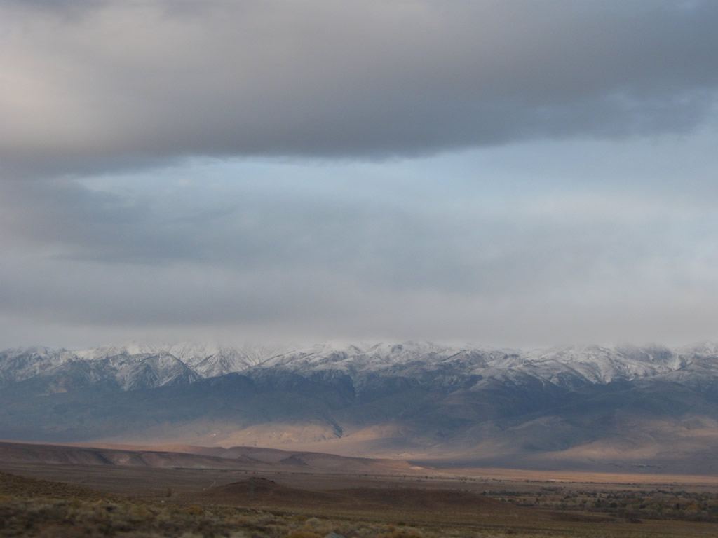
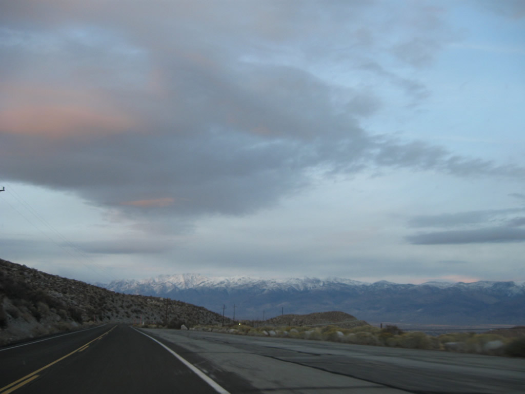
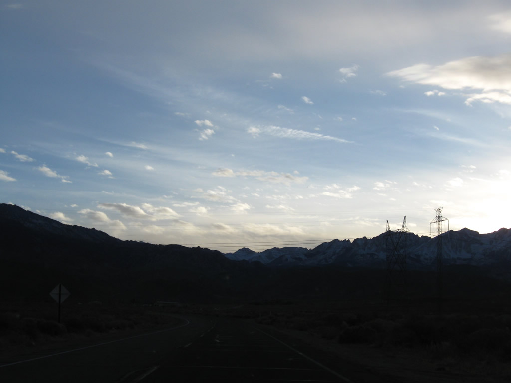
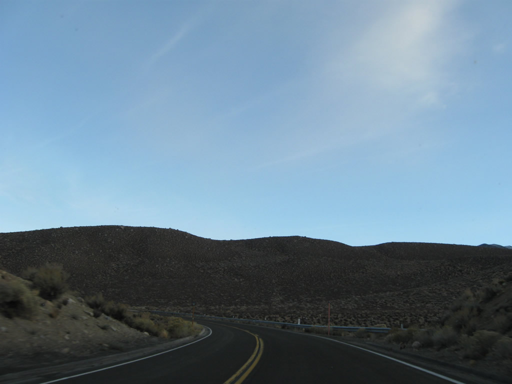
As SR 168 slowly gains elevation, this view looks back at Owens Valley.
11/10/08
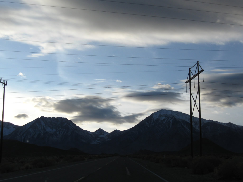
Another power line crosses over California 168.
11/10/08
The towering peaks of the Sierra Nevada dominate the view as the highway continues to gain elevation.
11/10/08
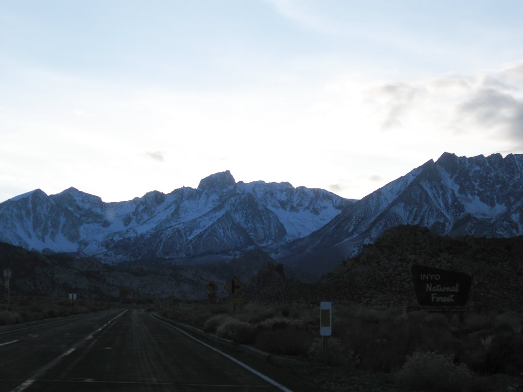
California 168 enters Inyo National Forest.
11/10/08
California 168 ascends toward Aspendell and Lake Sabrina. Even as the highway travels above 6,000 feet, California 168 is a fairly fast route with modern curves and grades.
11/10/08
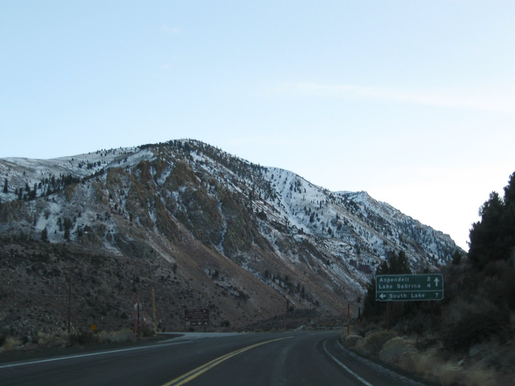
Westbound California 168 approaches South Lake Road, which travels south to South Lake. Seasonal camping and hiking opportunities are available at South Lake. Follow California 168 west to Aspendell and Lake Sabrina.
11/10/08
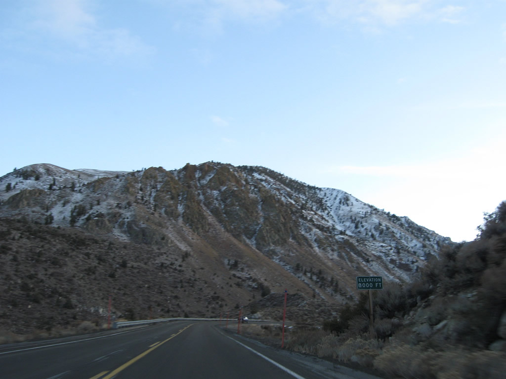
Continuing to gain elevation, California 168 ascends to 8,000 feet.
11/10/08
Westbound California 168 enters the unincorporated community of Aspendell.
11/10/08
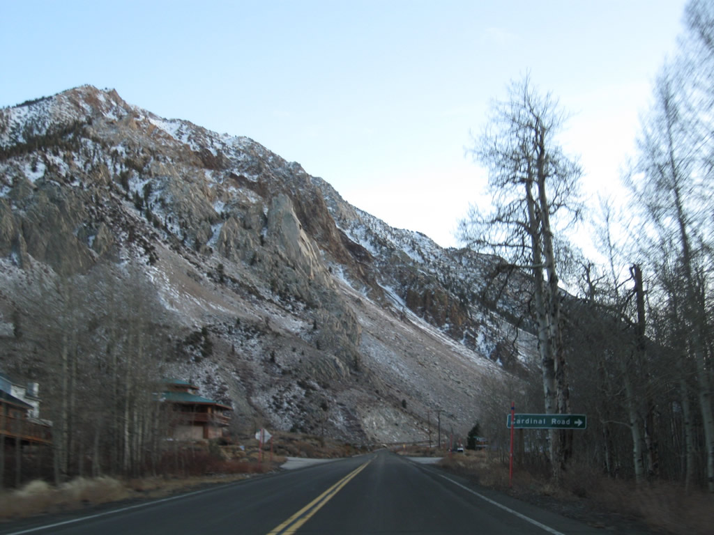
After passing by several homes and cottages, the next marked intersection is with Cardinal Road (next right).
11/10/08
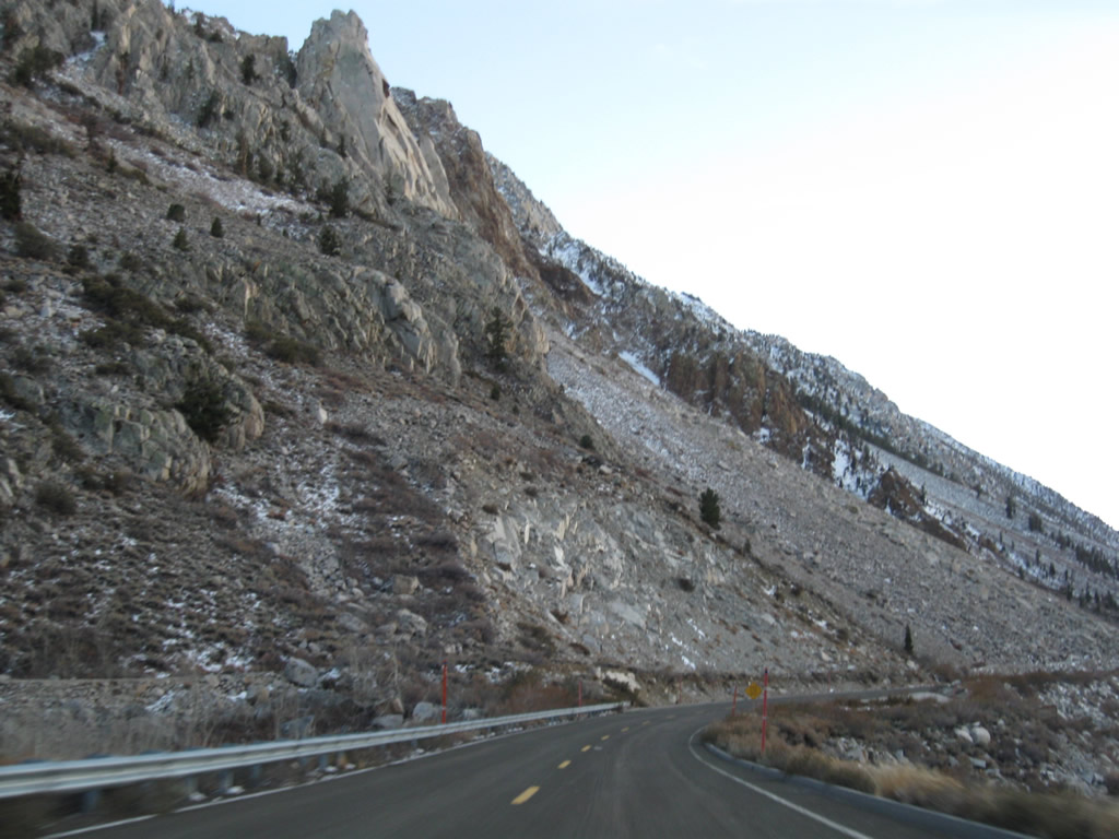
A large slide area appears on the left side of California 168 as the highway continues southwest into Lake Sabrina.
11/10/08
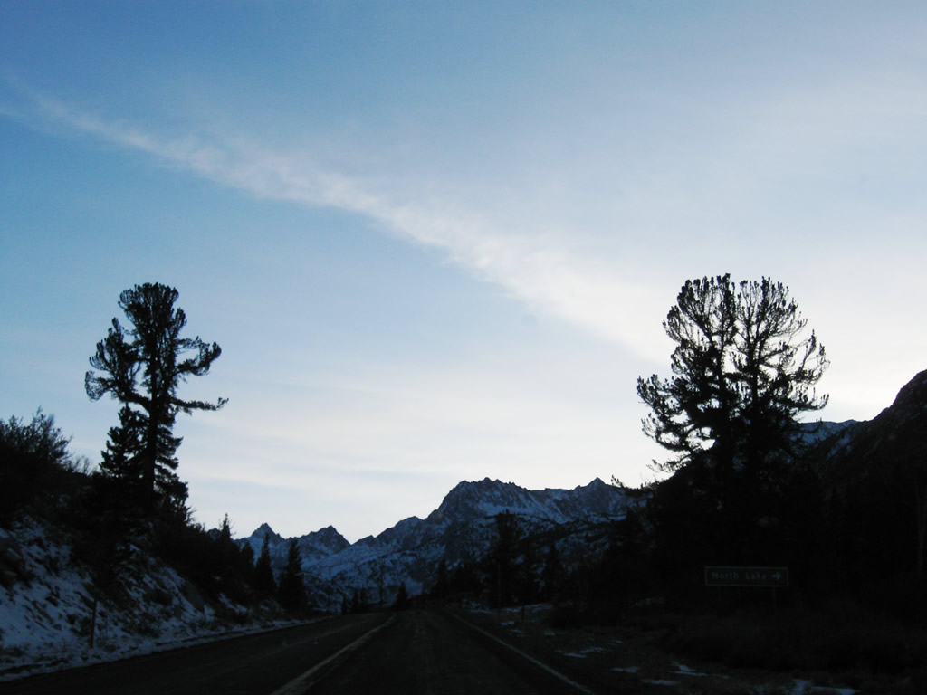
The next right turn from California 168 west connects to North Lake.
11/10/08
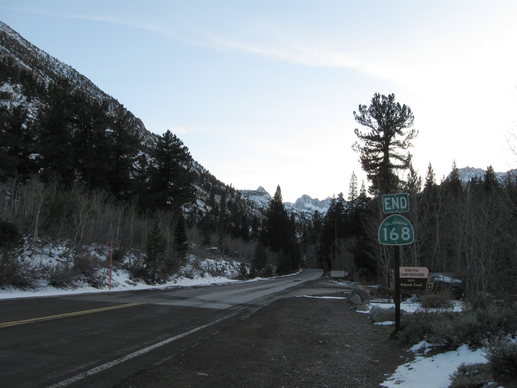
Arriving at the entrance to the Lake Sabrina Campground, California 168 comes to its end, and the National Forest Service takes over maintenance of the remaining road leading into the campground.
11/10/08
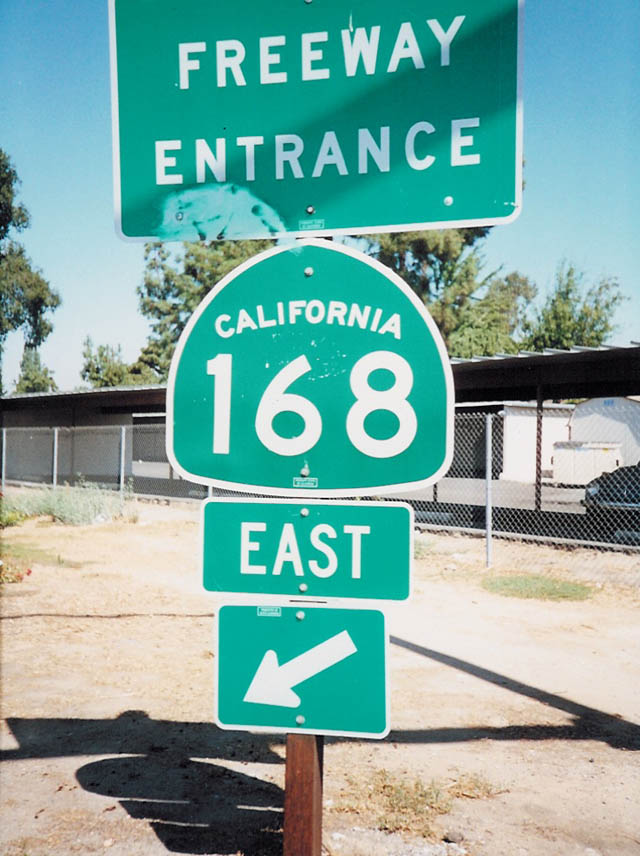
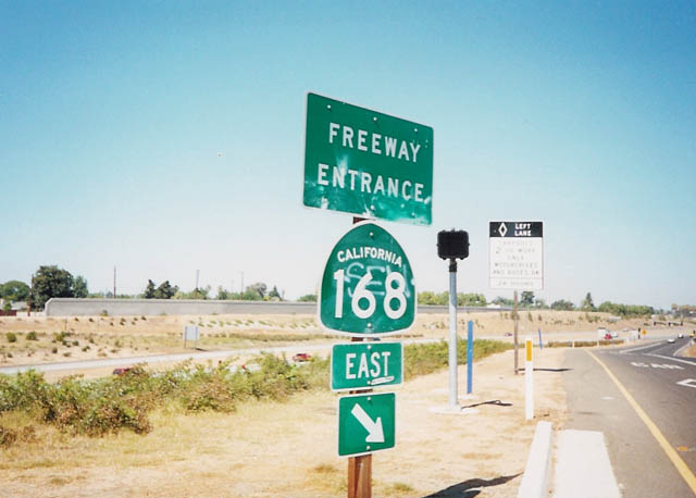
California 168 freeway entrance shield assemblies posted at the exchange with Shields Avenue in Fresno.
2002
Photo Credits:
- Andy Field: 01/19/02, 12/01/02, 11/10/08
- Joel Windmiller: 1999
- Trevor Carrier: 2002
Connect with:
Page Updated Tuesday March 23, 2010.