
State Route 189
Lake Gregory Drive south ties into California State Route 189 just ahead SR 18 (Rim of the World Highway). SR 189 west ends at SR 18 east of Crestline and Arrowhead Highlands and west of Rimforest, Skyforest, Heaps Peak and Running Springs. This shield assembly was removed by 2025. - 10/13/2012
California 189 is a 5.57-mile long state highway that connects California 18 with California 173 via the unincorporated communities of Twin Peaks, Agua Fria, Blue Jay, and Lake Arrowhead in the San Bernardino Mountains. Twin Peaks is located near Strawberry Peak, which is mentioned in the legislative definition of California 189). A winding and twisting route, California 189 follows portions of Lake Gregory Drive, Squirrel Inn Road, and Lakes Edge Road. At Agua Fria, which is the approximate midpoint of the state route, a connecting road (Daley Canyon Road) links California 189 with California 18 (Rim of the World Highway). Daley Canyon Road provides a more direct and slightly faster route for through traffic heading from the California 189 corridor downhill on California 18 south to San Bernardino. Trailblazers on Daley Canyon Road mark it as a link to California 18.
This route appears to have been unchanged since its inception. According to Daniel Faigin's California Highways site, the California 189 designation was created in 1933 and was allowed to keep its numerical designation during the many changes made to the the California state route system in 1964. So this short state route corridor in the San Bernardino Mountains has been known as 189 for about 80 years as of this writing, and no realignments have occurred along its route to date1 - no "R" mileage is found along this route, unlike routes that have been realigned through the years). Only one bridge structure is on the route: Little Bear Creek culvert at postmile 4.08, which was built in 1967.
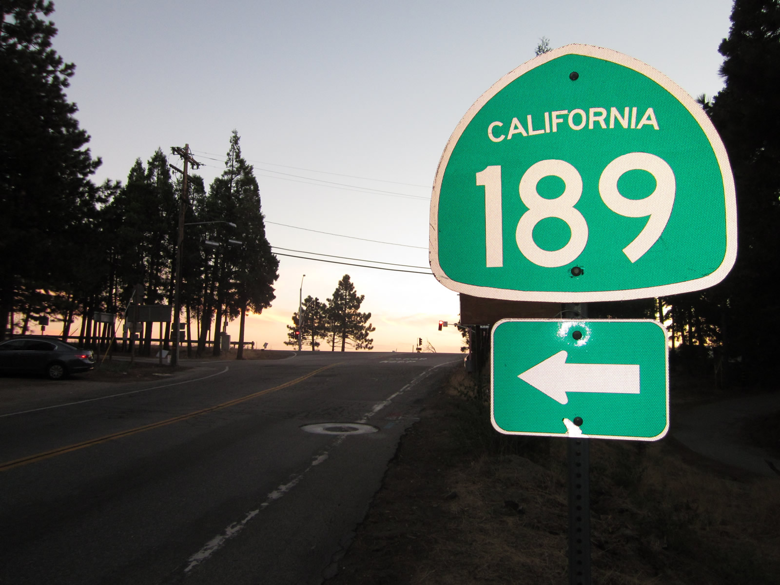
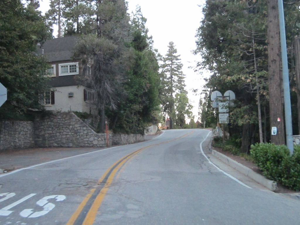
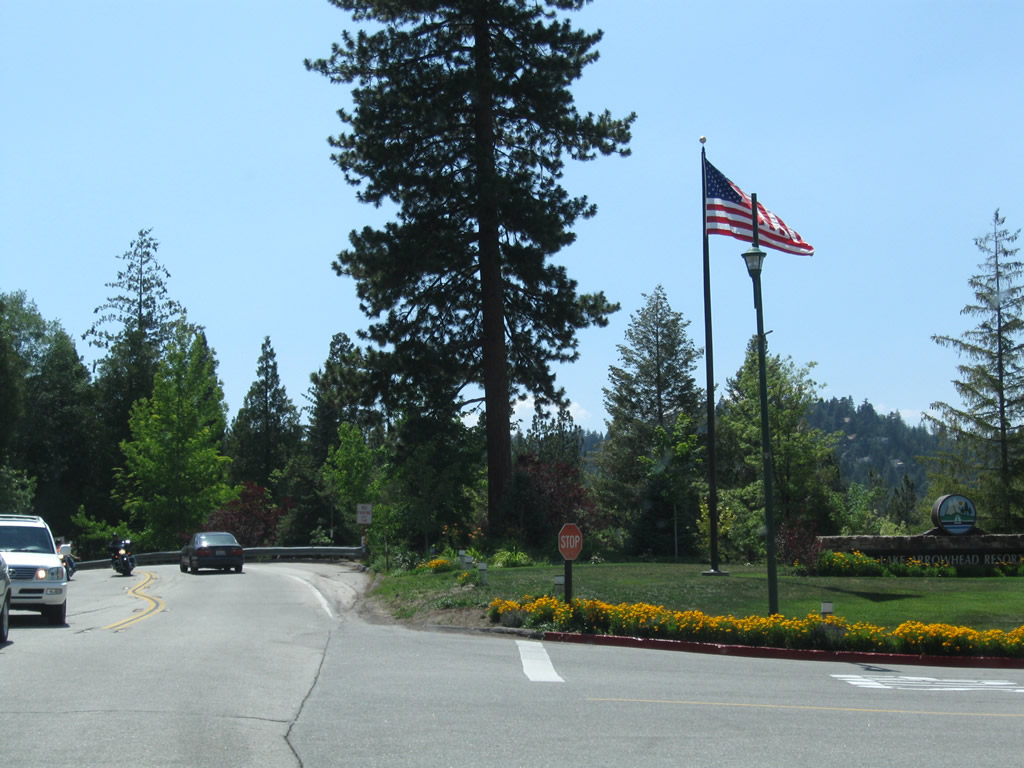
Eastbound SR 189 commences north from SR 18 (Rim of the World Highway) along Lake Gregory Drive to an adjacent intersection, where the route turns east toward Twin Peaks.
04/18/04
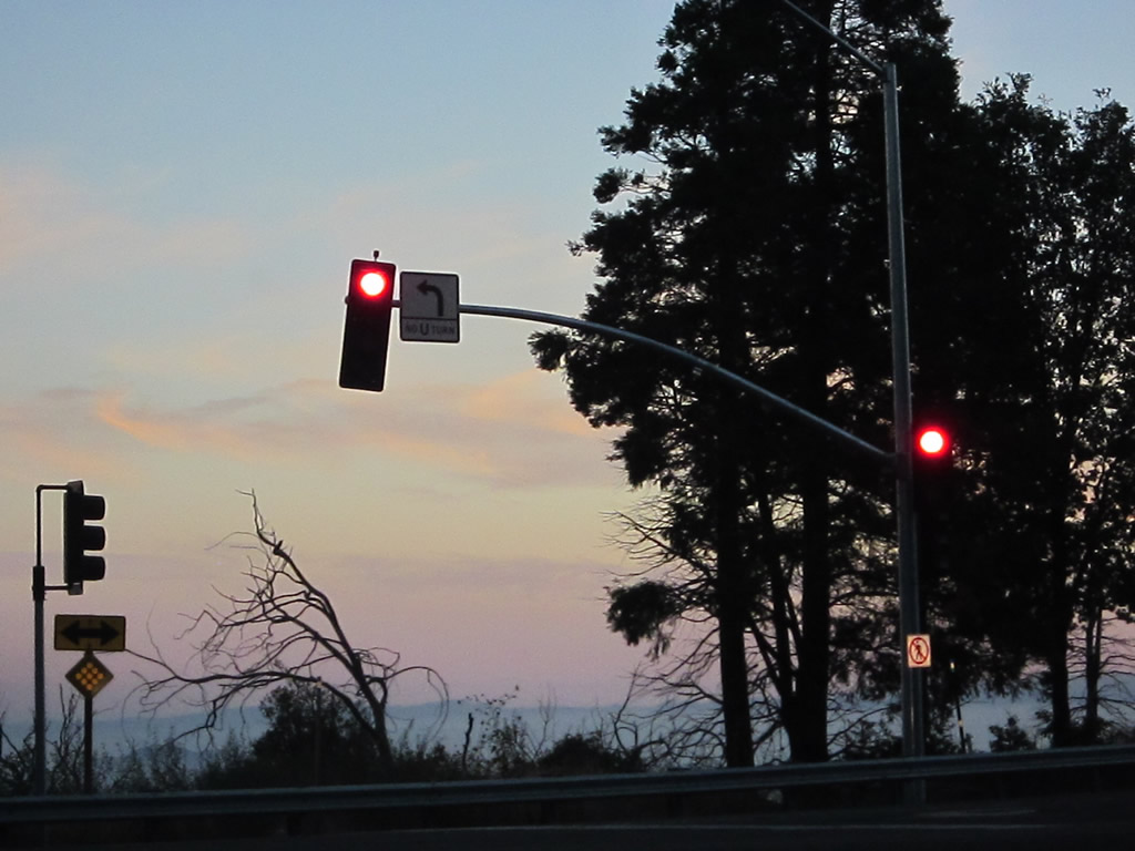
Lake Gregory Drive extends northwest from the eastern turn of SR 189 to Arrowhead Highlands and Lake Gregory at Crestline.
10/13/12
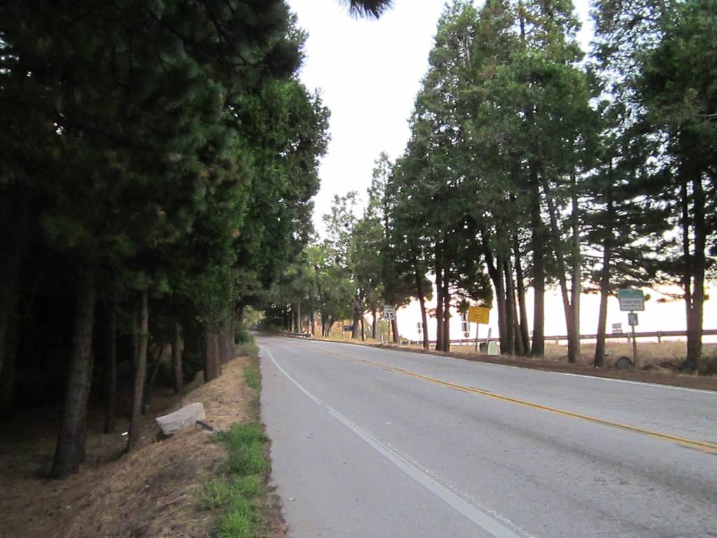
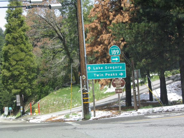
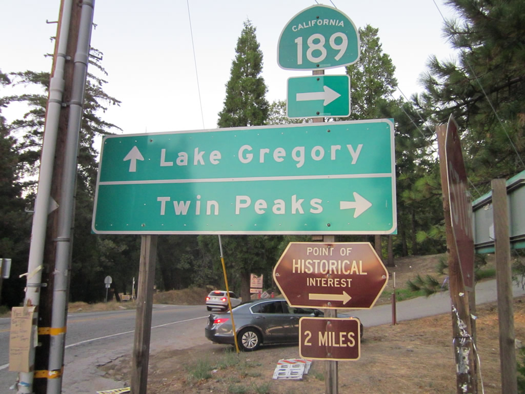
Heading east from Lake Gregory Drive, SR 189 initially before navigating through a series of S-curves and sharp turns northward to Twin Peaks.
10/13/12

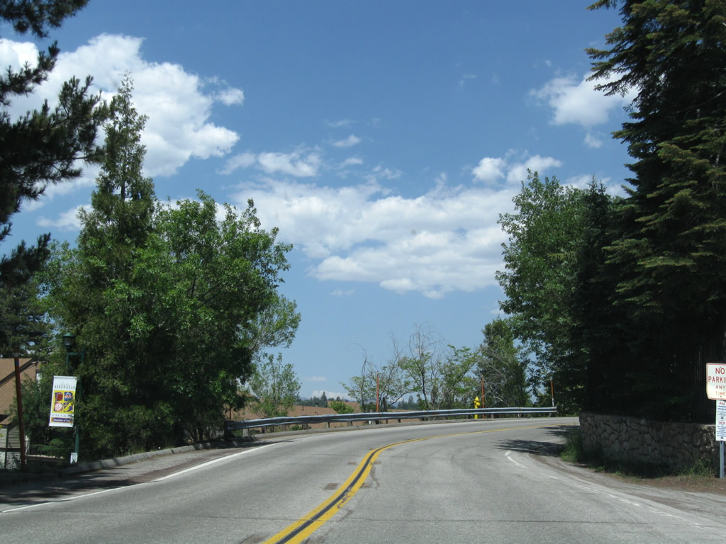
California 189 briefly parallels California 18 before pulling away toward Twin Peaks.
04/18/04
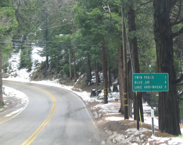
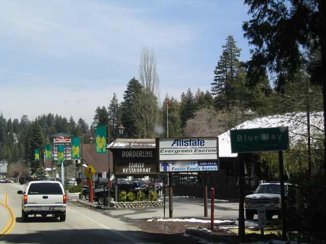
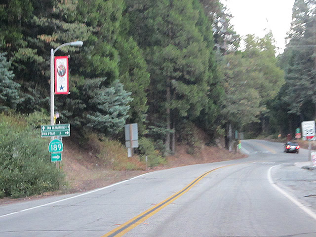
This mileage sign along eastbound provides the distance to Twin Peaks, Blue Jay, and Lake Arrowhead.
04/18/04
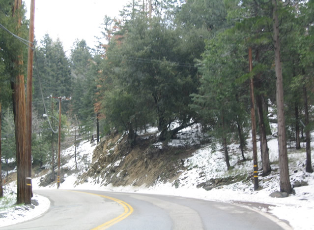
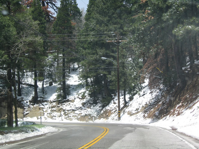
Snow along SR 189 is common in the Winter and early Spring due to the high elevation despite being fairly far to the south in the state.
04/18/04
SR 189 turns south into Daley Canyon before turning northward through Agua Fria.
04/18/04
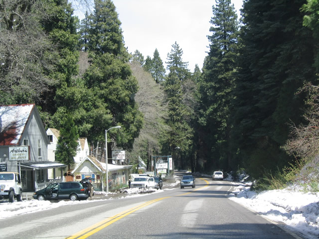
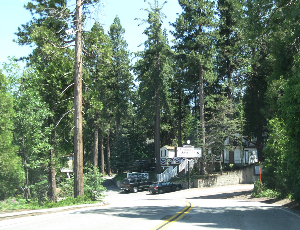
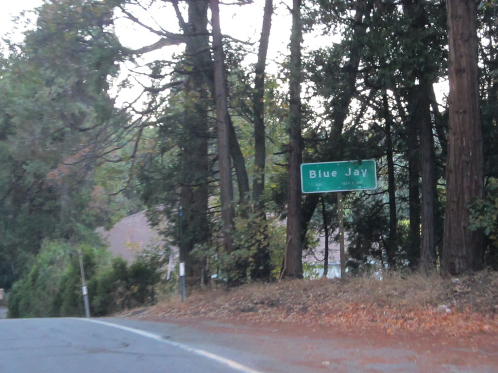
California 189 enters the unincorporated community of Blue Jay northeast of Agua Fria.
04/18/04
California 189 continues east from Blue Jay to Lake Arrowhead Village ("Old World Charm, New World Excitement").
06/27/09
More shops and residences line California 189 through Lake Arrowhead Village.
06/27/09
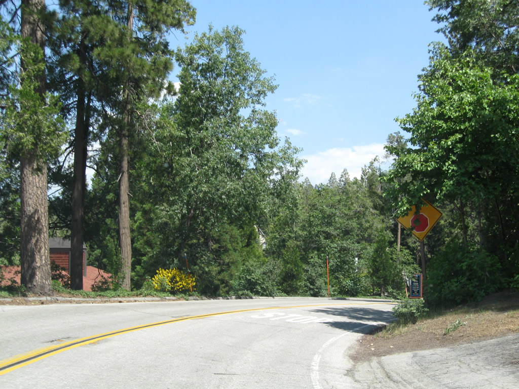
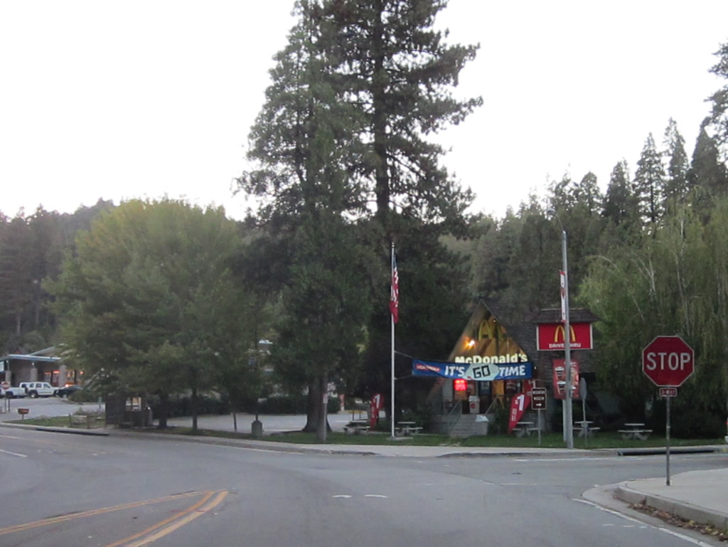
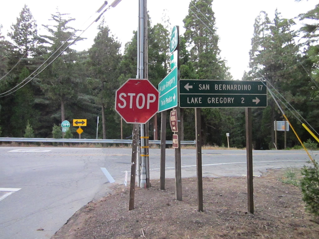
Removed by 2021, this stop ahead sign was the first indication of the forthcoming intersection with State Route 173.
06/27/09
SR 189 (Lakes Edge Road) turns southward by Lake Arrowhead Village shopping center on the descent to SR 173 at Village Road.
06/27/09
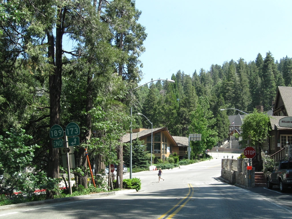
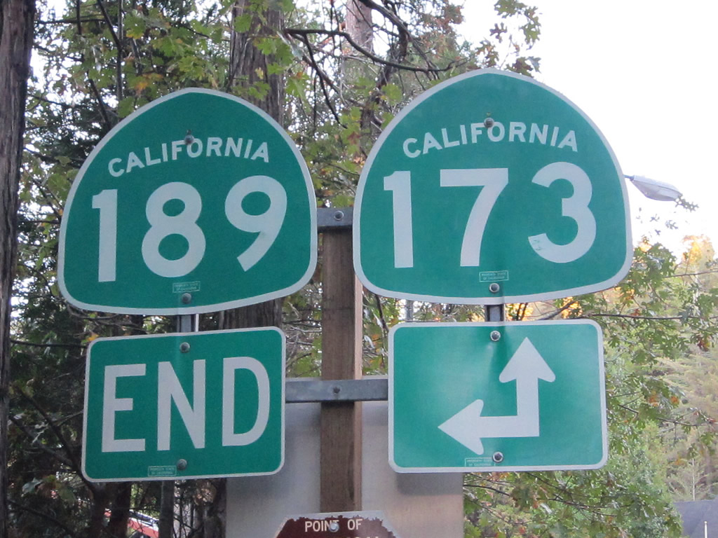
An end shield for SR 189 east appears on the left side of Lakes Edge Road. SR 173 runs northwest to the east shore of Lake Arrowhead, and southeast to reconnect SR 189 with SR 18 east toward Running Springs and Big Bear Lake.
10/13/12
A four-way stop at the bottom of the hill joins SR 189, SR 173 and another entrance to Lake Arrowhead Village.
10/13/12
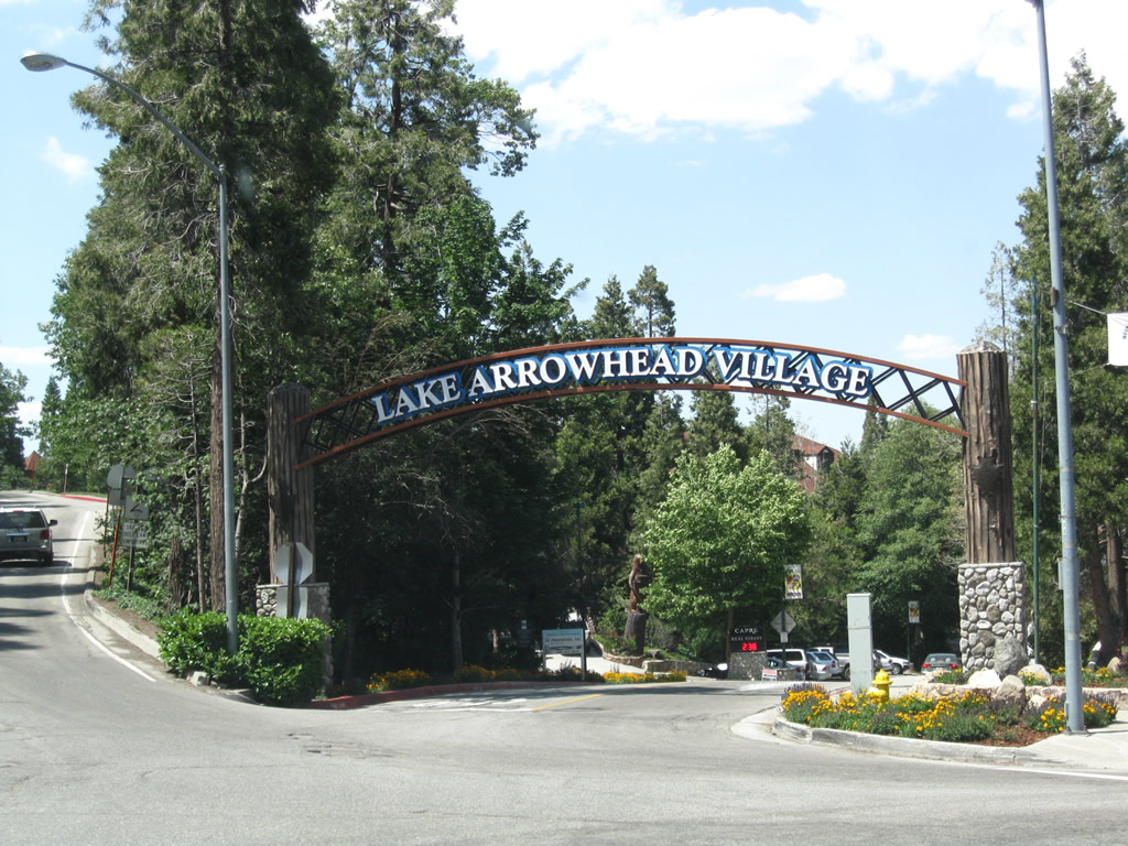
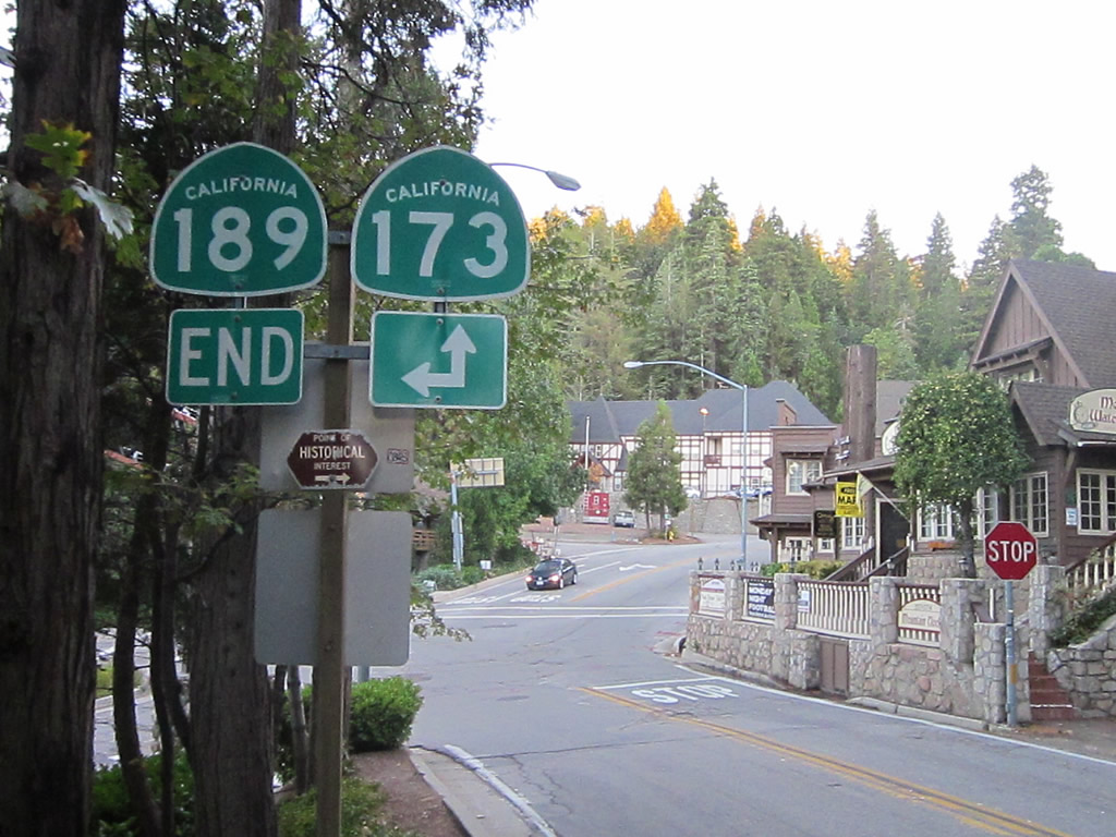
SR 189 branches northwest from SR 173 along Lakes Edge Road adjacent to the arch spanning the entrance to the privately owned Lake Arrowhead Village ("Old World Charm, New World Excitement"). The village is part of the larger unincorporated community of Lake Arrowhead, which had a population of 12,424 as of the 2010 Census.
06/27/09
The westbound beginning of SR 189 along Lakes Edge Road typifies the state route: narrow, hilly, and winding with limited sight distances.
10/13/12
The first reassurance shield for SR 189 west appears just north of SR 173.
06/27/09
SR 189 climbs uphill and runs along the south side of Lake Arrowhead Village. Located along Lake Arrowhead, Lake Arrowhead village features lake access, attractions, shops and restaurants.
10/13/12
Passing above the Lake Arrowhead Village shopping center, SR 189 navigates through the first of several sharp curves along the course west to Blue Jay and Twin Peaks.
06/27/09
SR 189 continues west from the sharp curve at milepost 5.40 to the driveway entrance for Lake Arrowhead Resort and Spa.
06/27/09
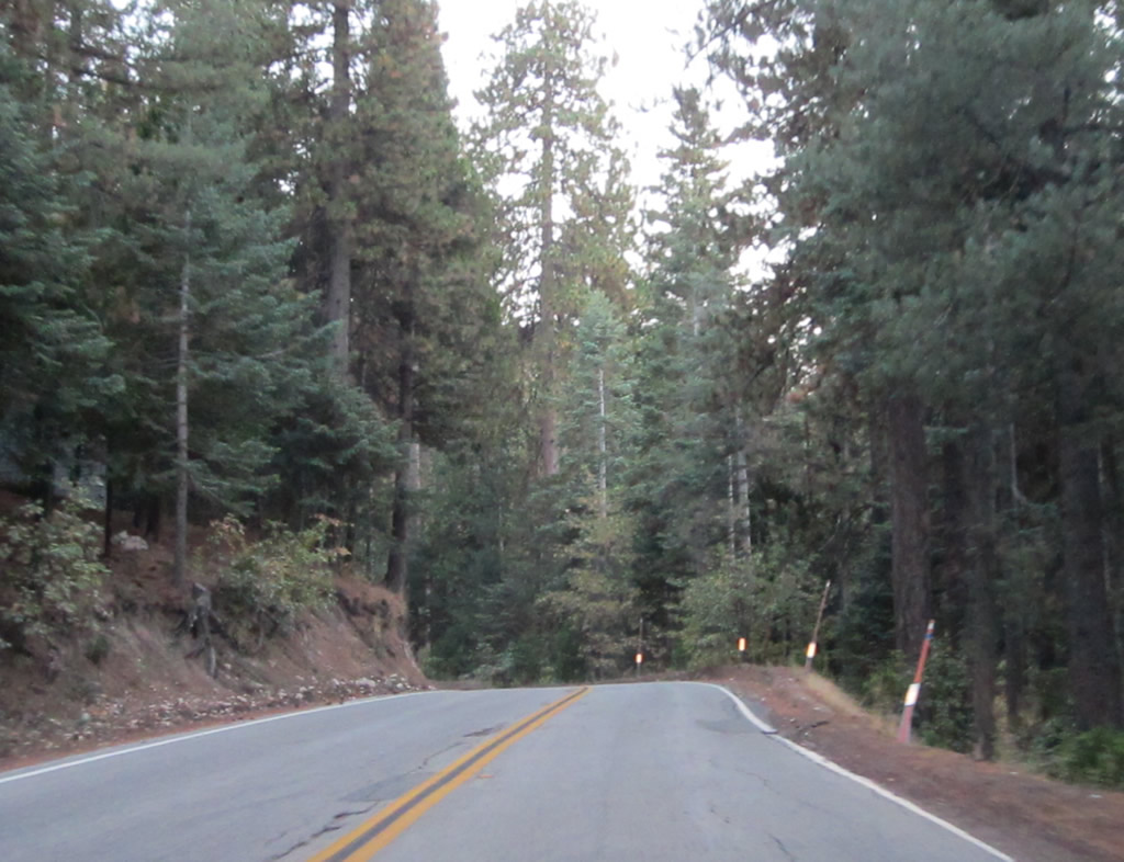
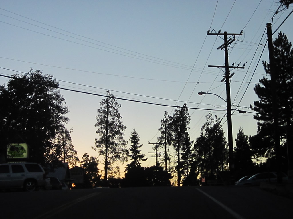
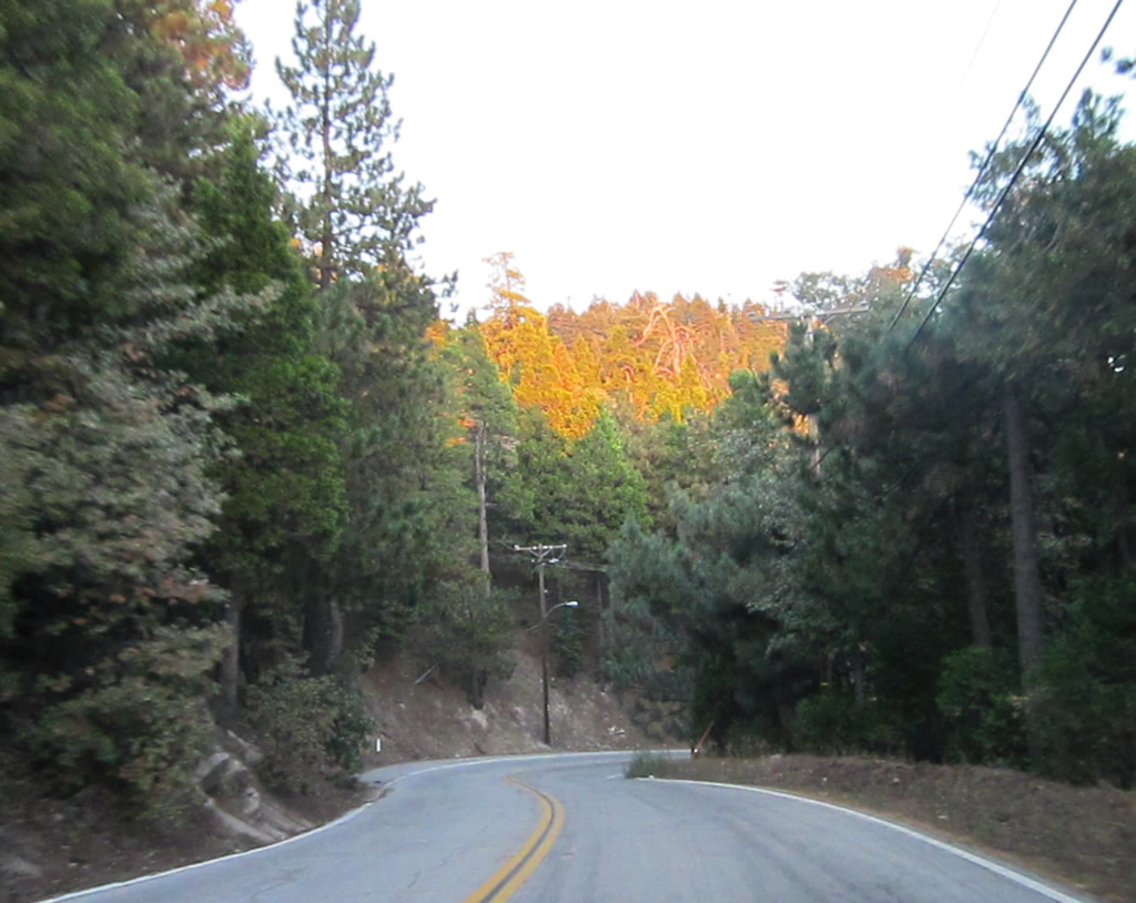
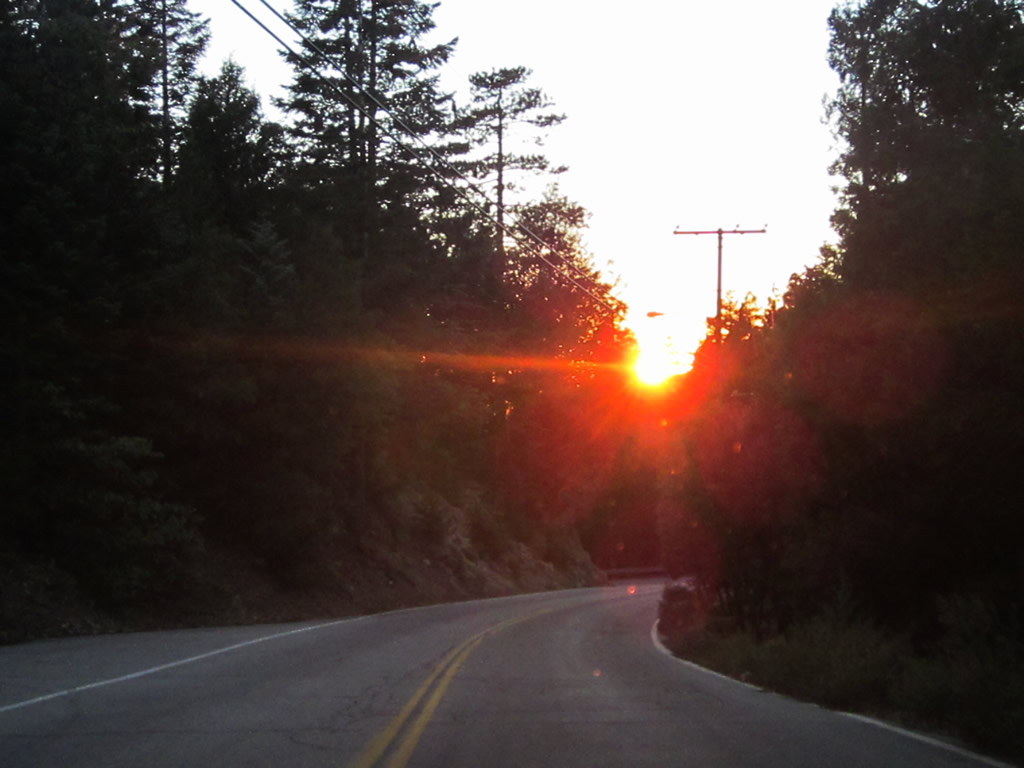
Scenes like this represent the character of SR 189: deeply forested lands on both sides of the highway with occasional driveways into private properties/residences.
10/13/12
California 189 west enters the unincorporated community of Blue Jay.
10/13/12
Westbound California 189 intersects N Bay Road at this stop sign in Blue Jay. N Bay Road provides access to the western and northern shores of Lake Arrowhead as well as access back to California 173. Food and shopping are available along the short commercial strip in Blue Jay.
10/13/12
Leaving Blue Jay, SR 189 turns southwest and then south into Agua Fria. There SR 189 makes a nearly 180 degree turn while intersecting Daley Canyon Road. Daley Canyon Road provides a cut off south to SR 18.
10/13/12
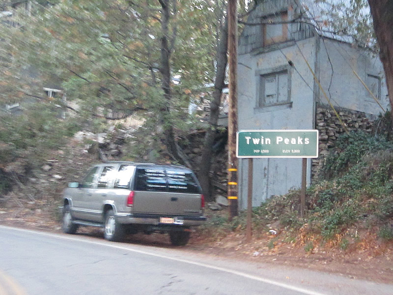
Resuming a westward course after Daley Canyon, SR 189 proceds into the unincorporated community of Twin Peaks.
10/13/12
Bear Springs Road stems south from SR 189 in Twin Peaks to the Strawberry Peak lookout tower (el. 6,135 feet).
10/13/12
Continuing southwest from Twin Peaks, SR 189 runs between Strawberry Flat and Strawberry Peak.
10/13/12
Westbound California 189 ties into Lake Gregory Drive adjacent to California 18 (Rim of the World Highway). Lake Gregory Drive northwest leads to Lake Gregory at Crestline.
10/13/12
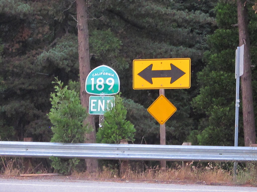
The end shield for SR 189 west appears at the intersection with Lake Gregory Drive, despite the route actually turning south to the adjacent traffic light with SR 189.
10/13/12
California 18 travels east from Lake Gregory Drive to Running Springs and Big Bear Lake. California 18 south to California 138 west leads to San Bernardino. OFfering a good quality route back to the city, the majority of California 18 downhill is four lanes.
10/13/12
References:
- Caltrans District 8 Route Log. http://www.dot.ca.gov/hq/structur/strmaint/brlog/logpdf/logd08.pdf
Photo Credits:
- Andy Field: 04/18/04, 06/27/09, 10/13/12
Connect with:
Page Updated Sunday October 14, 2012.