
State Route 18

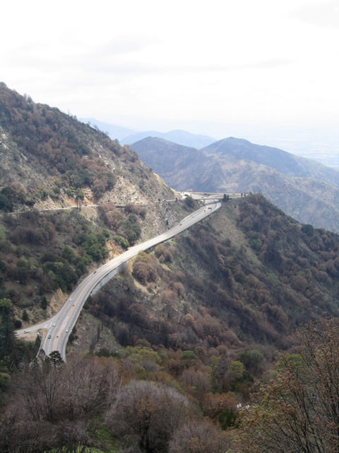
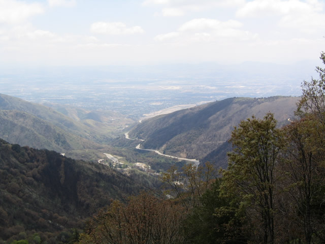
California 18 commences north from California 210 (Former California 30) in San Bernardino. It enters the San Bernardino National Forest, then it turns east to follow the Rim of the World Highway part Lake Arrowhead and Big Bear Lake. From Big Bear, it turns north toward the desert, then turns west at Lucerne Valley to connect with Interstate 15 at Victorville. The route then ends at California 138 west of Interstate 15. The entire route looks like a backward "C" on the map, and it is not the fastest route between its two endpoints. However, it is the primary route near the skiing resorts near Big Bear. Cardinal direction banners are uncommon on the reassurance shield assemblies along California 18 since the route changes directions several times along its circuitous route.
California State Route 18 Guides
San Bernardino - 27 photos
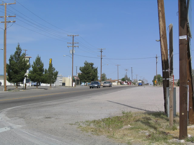
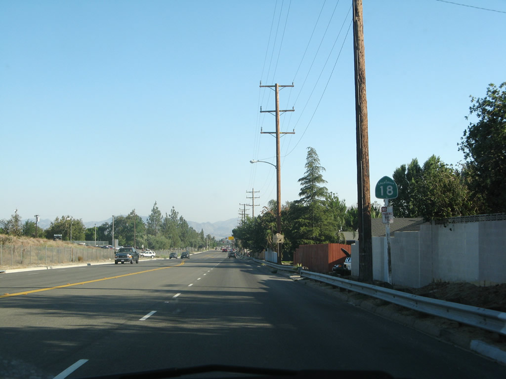
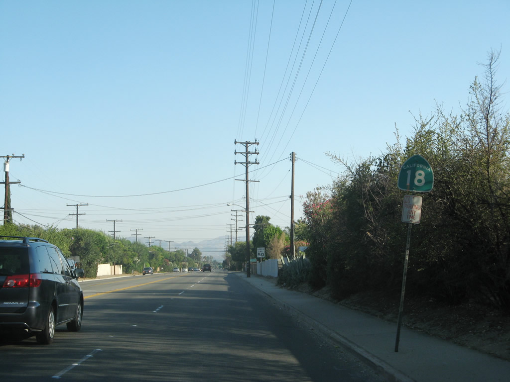
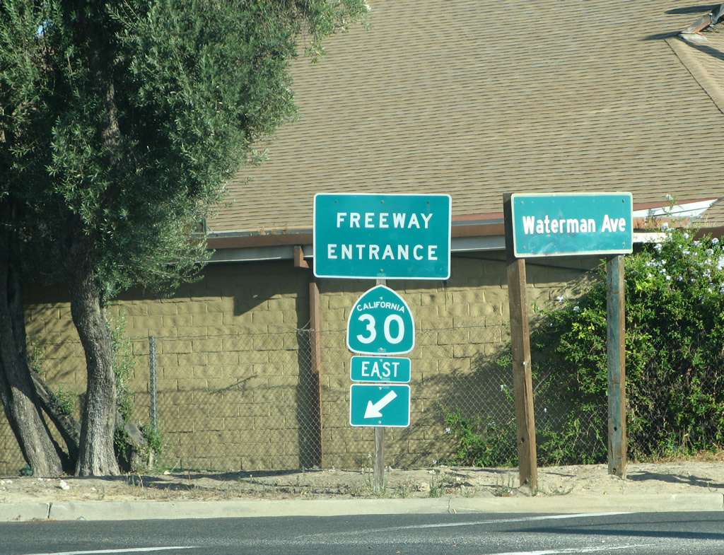
California 18 currently begins at the interchange between California 210 (Foothill Freeway) and Waterman Avenue in San Bernardino. At the time this photo was taken, California 210 was still signed as California 30; this has since been changed to California 210. The Waterman Avenue interchange marks the southern terminus of California 18; the legislative state Streets and Highways Code call for an extension of California 18 south along Waterman Avenue (potentially as a freeway) to Interstate 10, but no plans exist for constructing the extended state route.
06/24/07
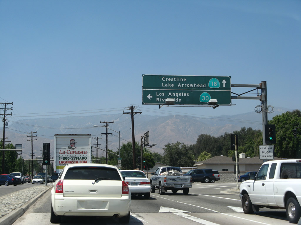
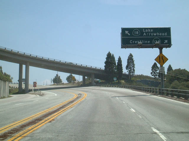
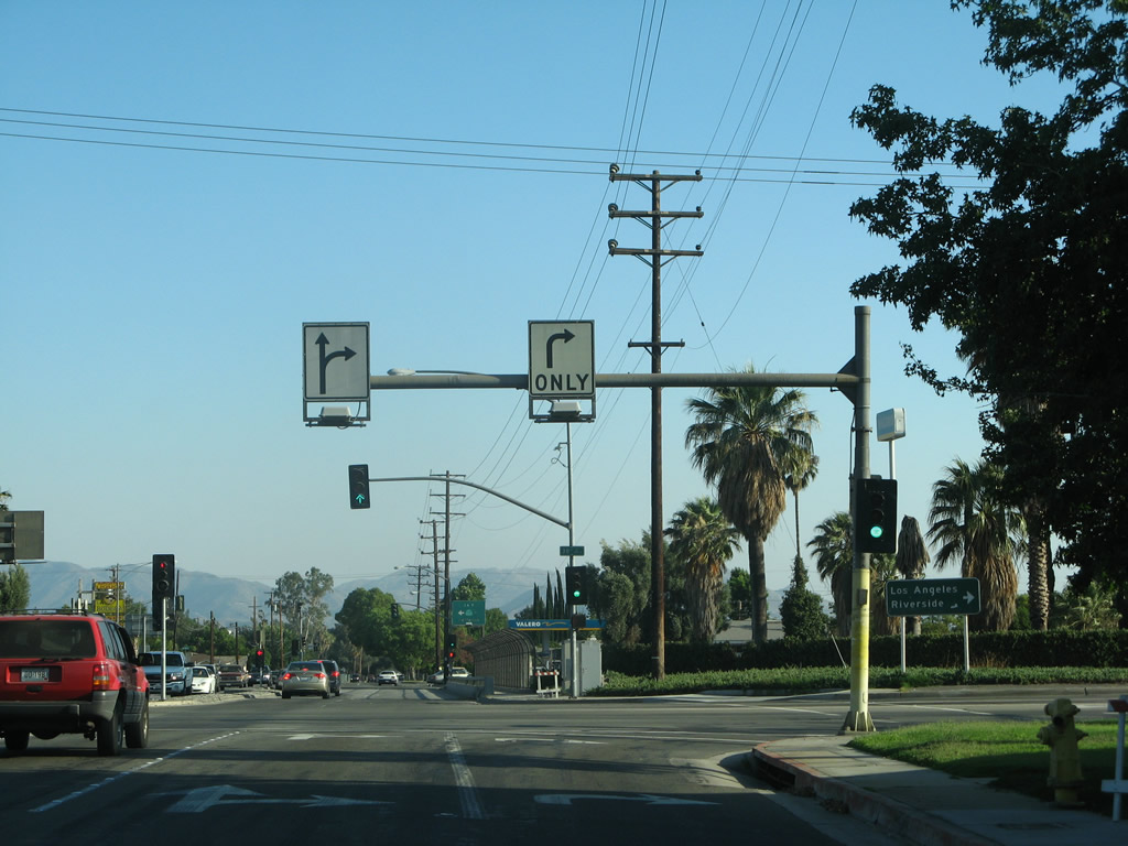
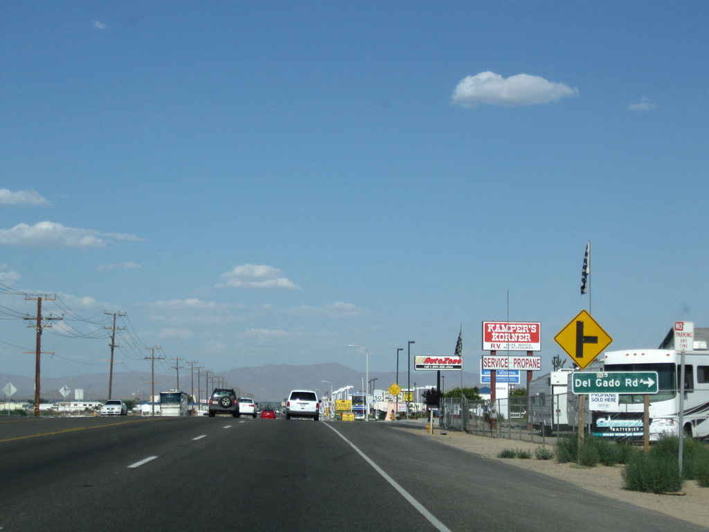
After crossing over California 210, northbound California 18 meets 30th Street. Turn left here for California 210 west to Interstate 215. Continue straight ahead for California 18 north to Crestline, Lake Arrowhead, and mountain resorts above San Bernardino.
06/24/07
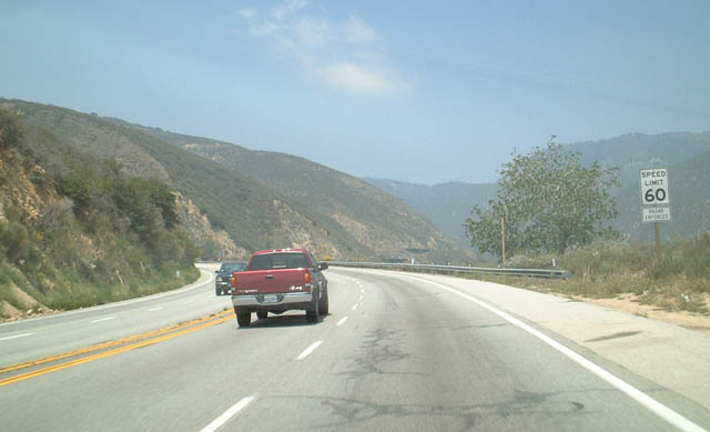
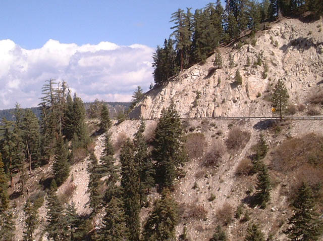
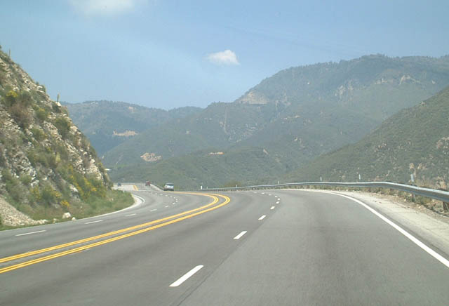
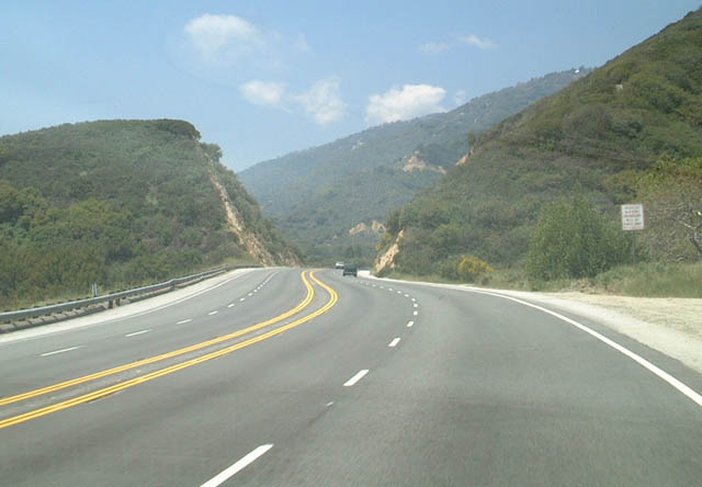
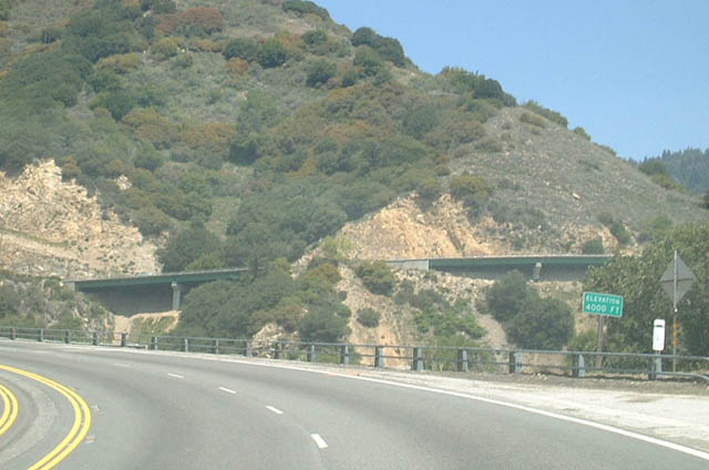
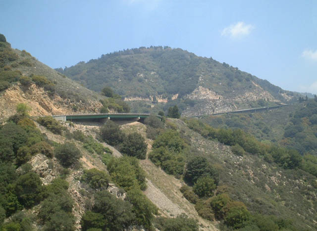
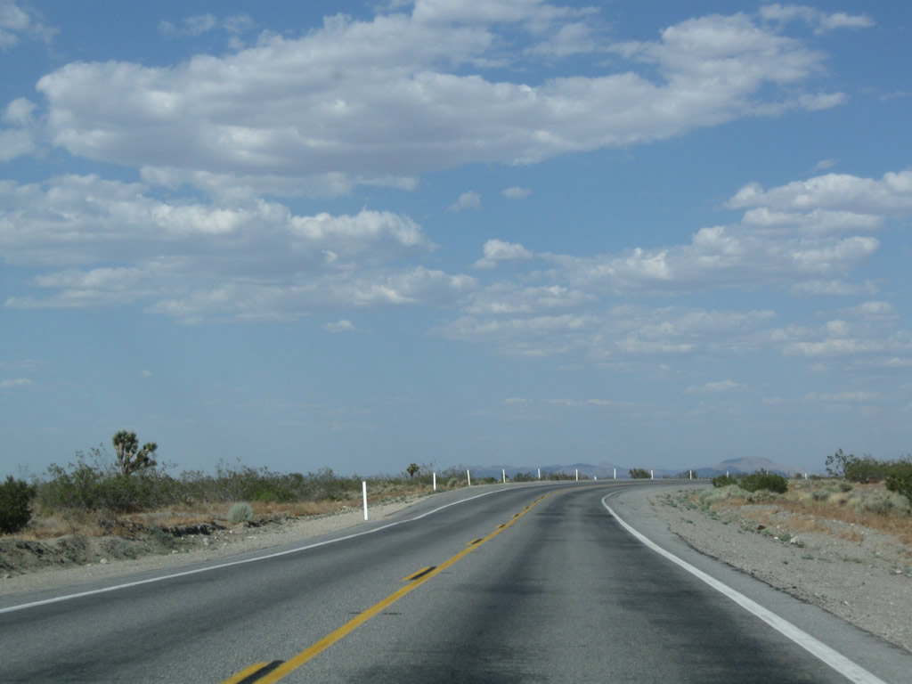
From its beginning at California 210, northbound California 18 ascends toward Lake Arrowhead and Big Bear Lake along a four-lane highway. These pictures show the road along northbound at varying intervals as it approaches California 138. The speed limit generally remains 60 miles per hour on the entire northbound trek, with some exceptions. In some spots along the way, bridges were constructed to make California 18 four lanes. After the California 138 interchange, California 18 becomes a two-lane rural highway.
05/02/02
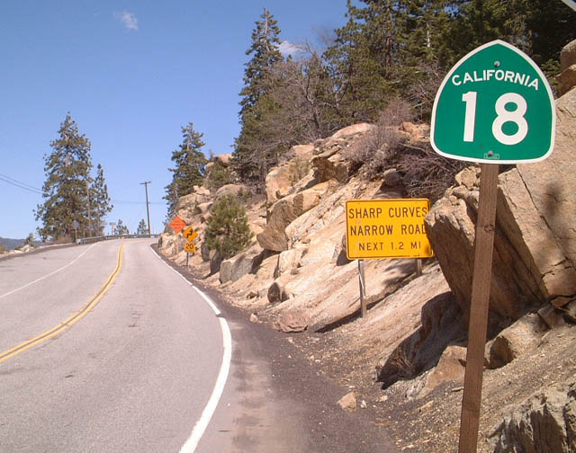
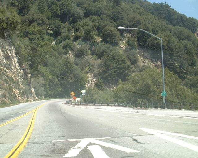
Northbound California 18 meets California 138 near Crestline at a trumpet interchange. This unique interchange barely fits into this location on top of the mountain grade. This interchange marks the eastern terminus of California 138. From here, northbound California 18 changes directions to eastbound California 18 en route to Lake Arrowhead and Big Bear City. At Big Bear City, California 18 changes directions a second time, and starts to head north once again. Upon reaching Lucerne Valley, the highway changes directions once last time at its "bump" with California 247. California 18 heads west through Apple Valley and Victorville before terminating at its junction with ... California 138, the same road that is shown at this interchange near Crestline! Together with California 138, California 18 north/east of Crestline forms a loop tour through mountain and desert country.
05/02/02
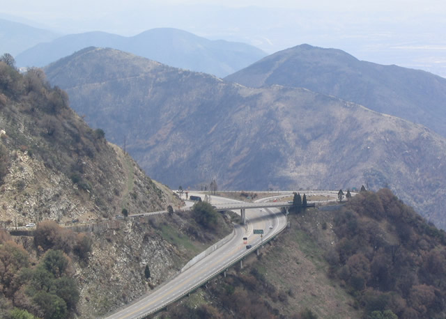
From a vantage point along the old California 18 grade from Crestline south to San Bernardino, visitors can see a view of one of the most closely spaced interchanges in California. As noted earlier, California 18 and California 138 interchange is located south of Crestline. This is a trumpet interchange, which is clearly seen by the interchange configuration here. It may be the only kind of interchange that might work in such a close environment with tight turns and steep grades.
04/18/04
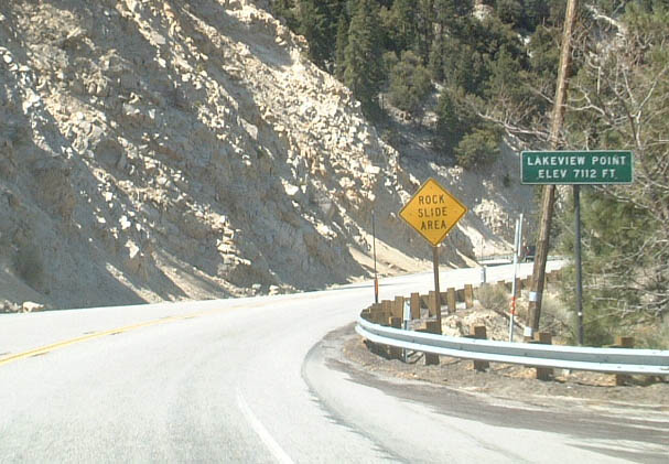
California 18 changes cardinal directions after the California 138 interchange. This view is found along eastbound California 18 at Lakeview Summit (el. 7,112 feet) just after the California 330 junction. California 18 is known as the "Rim of the World Highway" for a good reason!
05/02/02
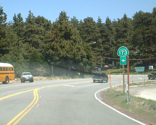
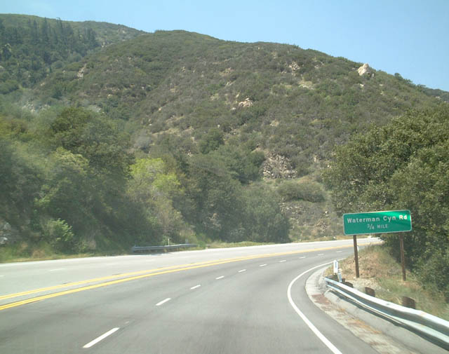
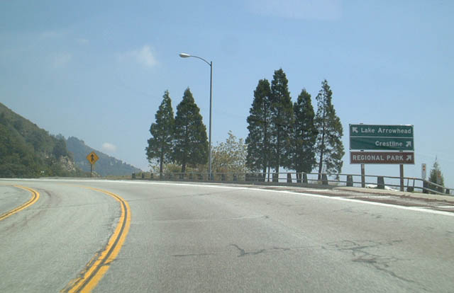
Eastbound California 18 approaching California 173. California 173 arcs north and then west from this point, passing along the east shore of private Lake Arrowhead and then west, via the only gravel road in the California state route system, to the Mojave River Forks Regional Park and a back way to Deep Creek Hot Springs. California 173 ends at its junction with California 138 near Silverwood Lake.
05/02/02
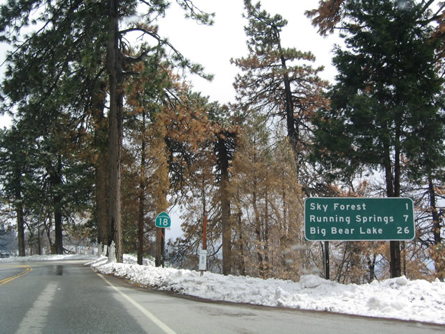
This mileage sign provides the distances to Sky Forest, Running Springs, and Big Bear Lake after the California 173 junction along the Rim of the World Highway.
04/18/04
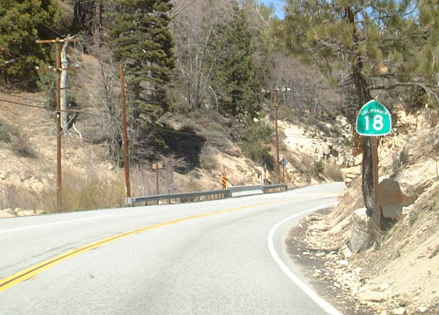
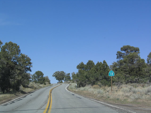
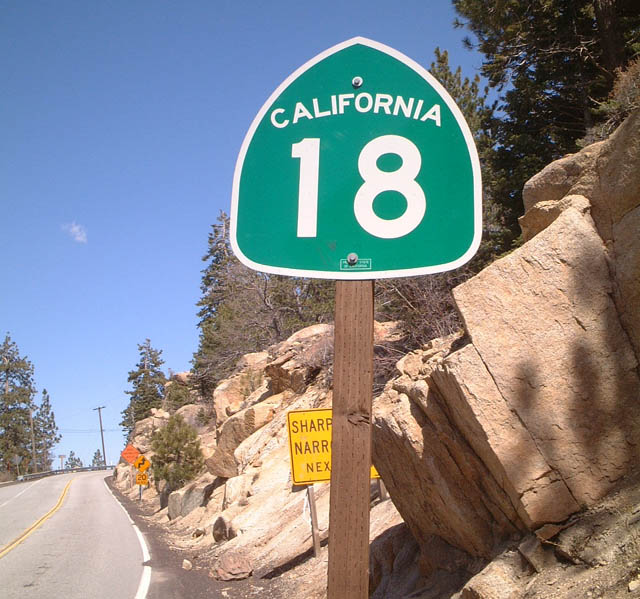
View of the next California 18 reassurance shield after the previous photobox, during a sunnier day.
05/02/02
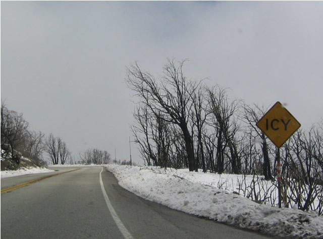
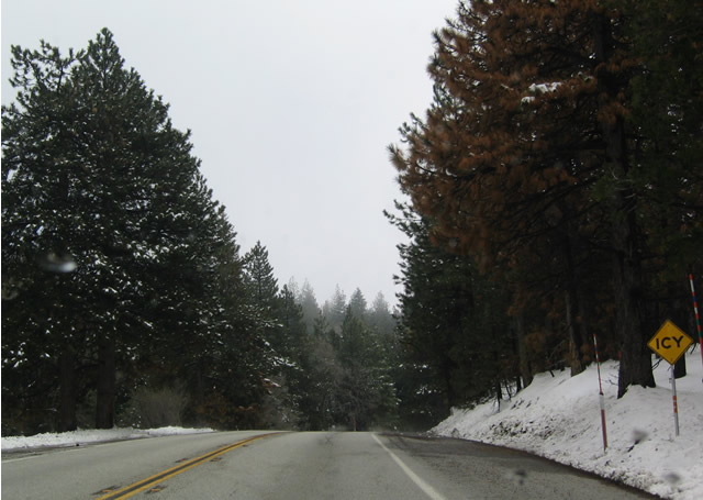
After the Old Fire of October 2003 ravaged the mountain communities, several areas were badly burnt, including most of the area around Skyforest, as shown in these photos along eastbound.
04/18/04
This view is found along eastbound California 18 near Postmile 40.
05/02/02
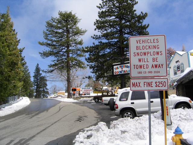
In Running Springs, like most mountain communities of the San Bernardino Mountains, vehicles that interfere with snow plow operations may be ticketed and towed. This sign is located along eastbound as it approaches the intersection with California 330 south.
04/18/04
After passing through the community of Running Springs, California 18 east meets California 330 south. California 330 south follows the original route of California 30 southwest to Highland, where it ends at its junction with California 210/30. This sign is notable because it contains cardinal directions for both routes; neither California 18 nor California 330 are generally signed with cardinal direction indicators.
04/18/04
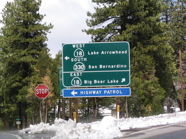
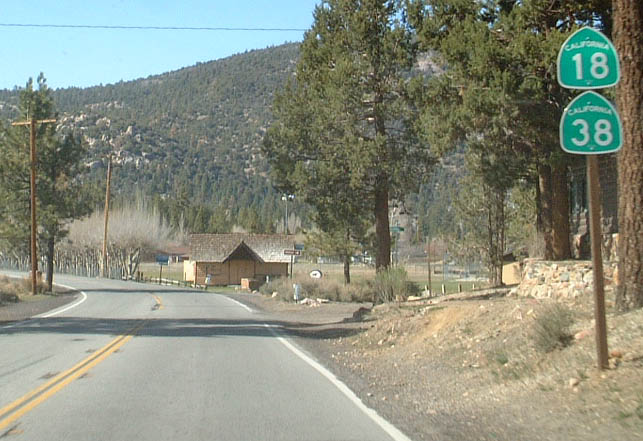
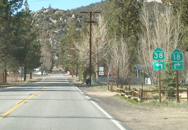
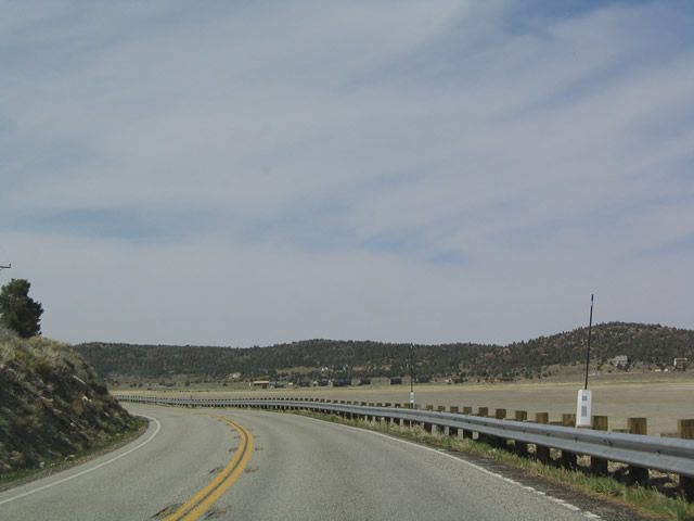
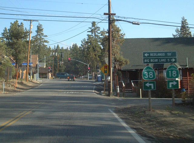
Eastbound California 18 approaches its intersection with California 38 at the west end of Big Bear Lake. California 18 remains on the south shore of Big Bear Lake, passing through the city of Big Bear Lake, while California 38 goes to the largely undeveloped north shore of Big Bear Lake. California 38 leads to a variety of hiking and other outdoor opportunities. California 18 and 38 converge in Big Bear City, which is located at the east end of the lake. Note that no cardinal direction indicators are located on these signs.
05/02/02
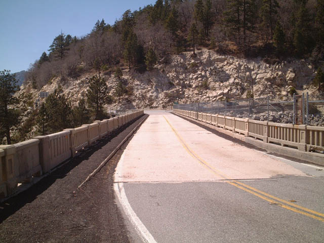
Eastbound California 18 meets California 38 at this point. Big Bear Lake comes into view in this picture. By following California 18 east along the south shore, motorists will cross over the dam that created this lake. At the time this picture was taken, the lake was low due to drought conditions that have remained for several years.
05/02/02
View of eastbound California 18 as seen from the dam area.
05/02/02
Eastbound/Northbound California 18 shield after the Big Bear Lake Dam and the western California 38 intersection.
05/02/02
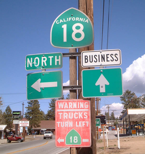
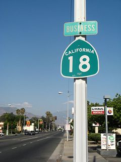
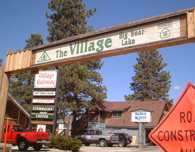
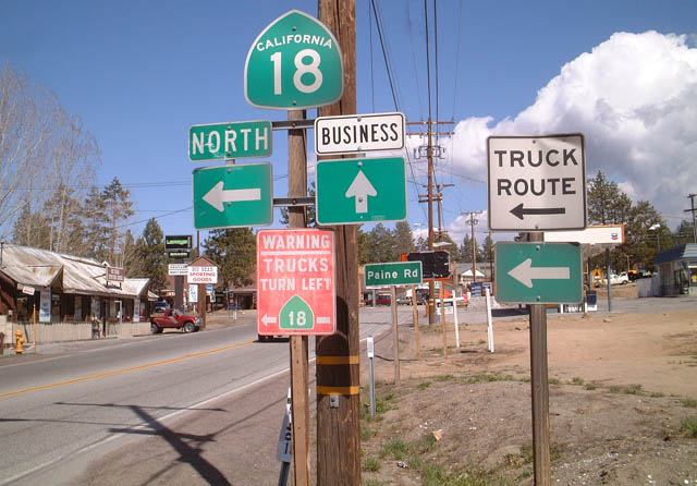
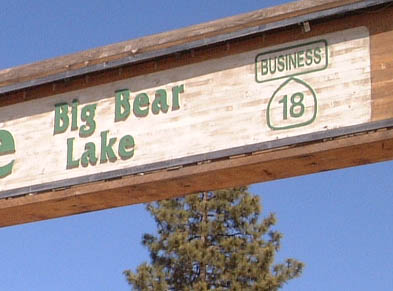
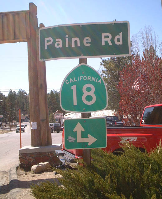
Eastbound California 18 splits with California 18 Business in the City of Big Bear Lake. This shield assembly is a variation on the bypass/business sign seen on other state routes. The mainline California 18 turns left along Paine Road to avoid the downtown area.
05/02/02
California 18 and California 38 travel due north along their shared alignment in Big Bear City.
05/02/02
Northbound California 18 and California 38 approach their northerly split in Big Bear City. There are no cardinal directions here because both California 18 and California 38 have such irregular paths (both shaped like a backward letter "C").
05/02/02
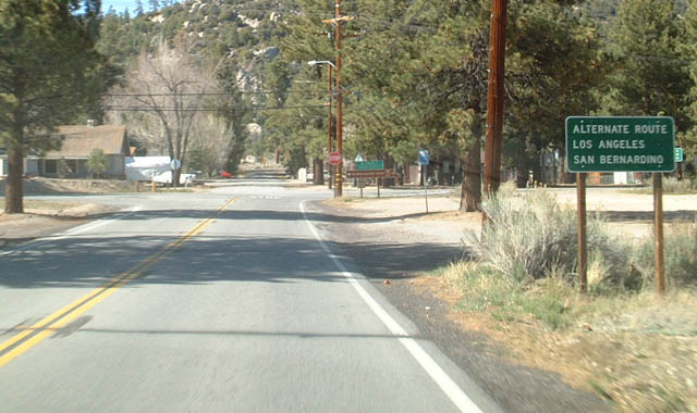
Use California 38 west (south) as an alternate route back to Los Angeles, as is California 18 north to Victorville via Lucerne Valley.
05/02/02
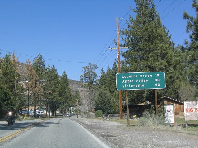
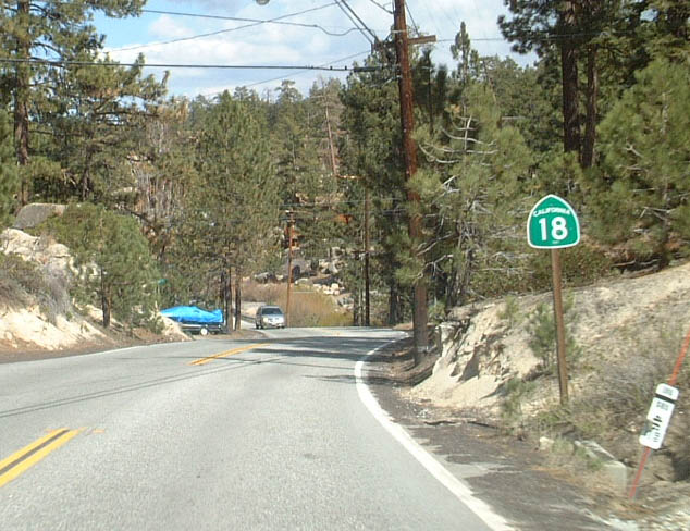
This mileage sign along northbound California 18 is posted after the split from California 38. The next three destinations are Lucerne Valley (California 247), Apple Valley, and Victorville (Interstate 15).
04/18/04
Baldwin Lake, a large dry lake bed situated just northeast of Big Bear Lake, is a natural lake that dried up many years ago. Today it is a large grassland with some barren areas that can flood during rain events. There is minimal development within the footprint of the lake.
04/18/04
The highway skirts the southern shore of the ancient lake, and the dry lake bed is clearly visible.
04/18/04
This California 18 reassurance marker is located along northbound as the highway skirts the northwestern shore of the dried-up lake.
04/18/04
Northbound California 18 at Baldwin Lake Road.
04/18/04
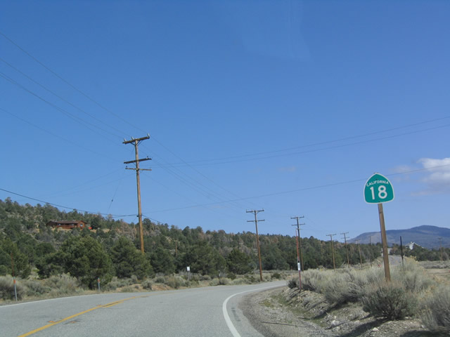
Now leaving the vicinity of Baldwin Lake, California 18 will ascend to a summit, then wind down toward the Mojave Desert.
04/18/04
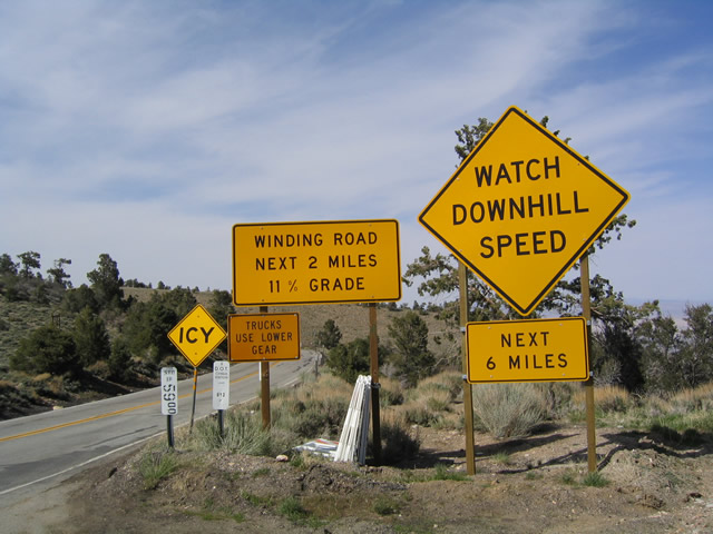
California 18 reaches its highest altitude north of Big Bear City here, at this nondescript turnout. The turnout features a hiking trail that leads up to a nearby hill with a fantastic view of the desert below. The grade ahead is impressive, descending at 11%, which is almost double the allowable grade percentage for Inter state routes (which is generally 6 to 7% depending on waivers and exceptions for specific climbs).
04/18/04
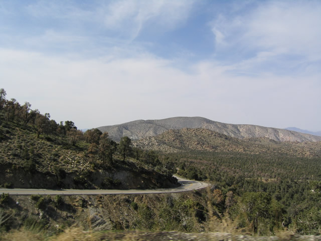
Reaching its summit in the San Bernardino Mountains about midway between Big Bear City and Lucerne Valley, California 18 looks down into the desert from its perch. The highway takes a windy descent to reach the high desert below.
04/18/04
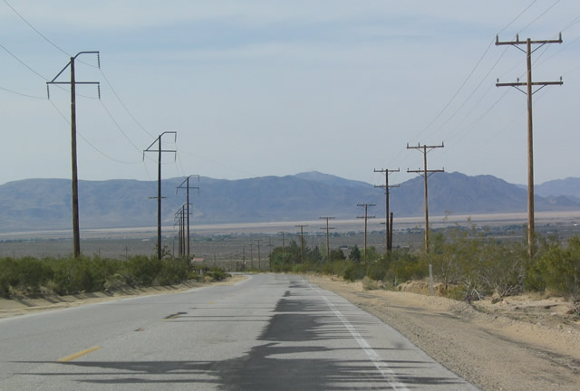
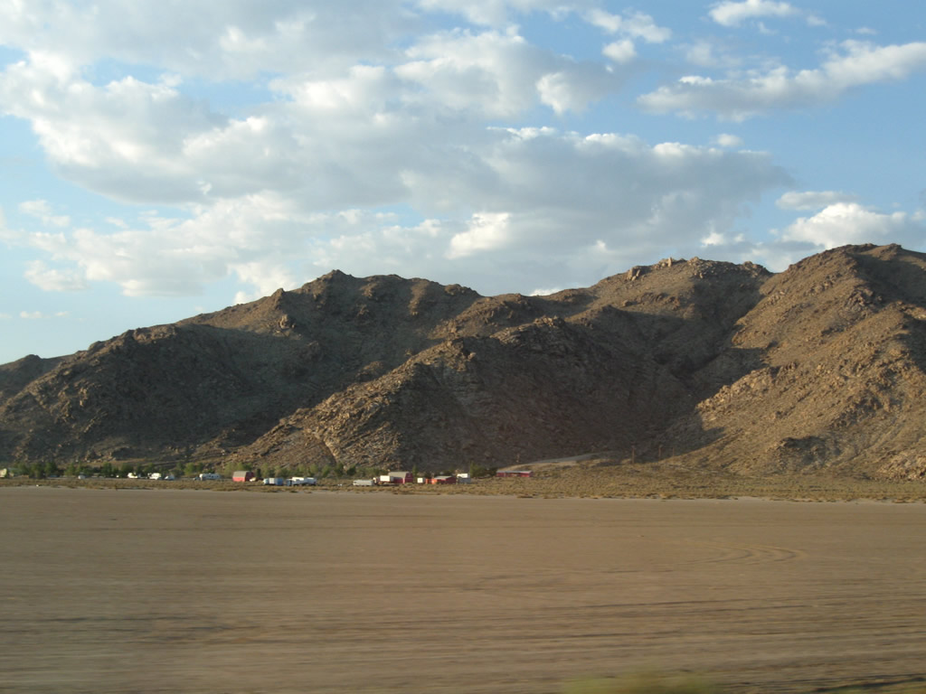
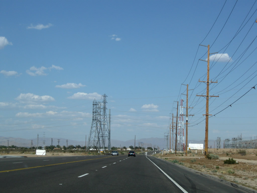
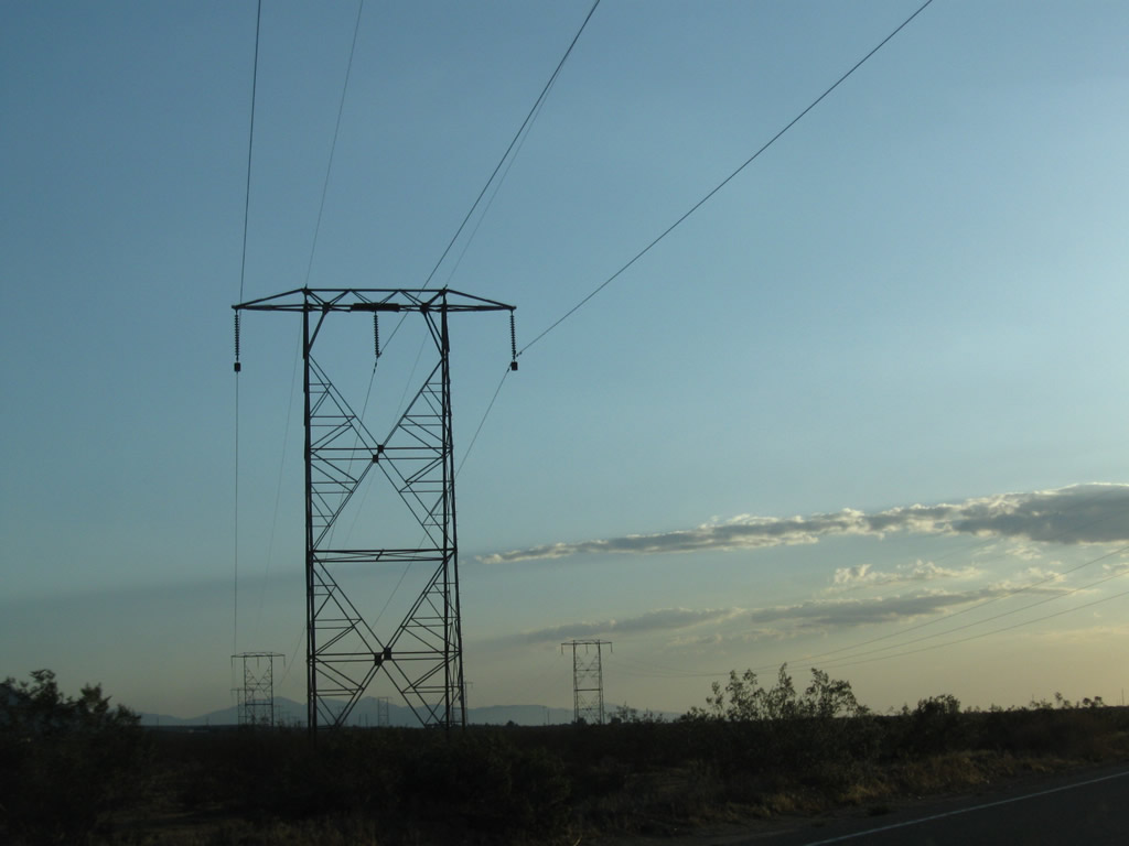
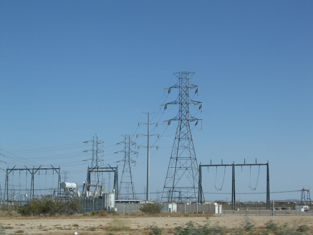
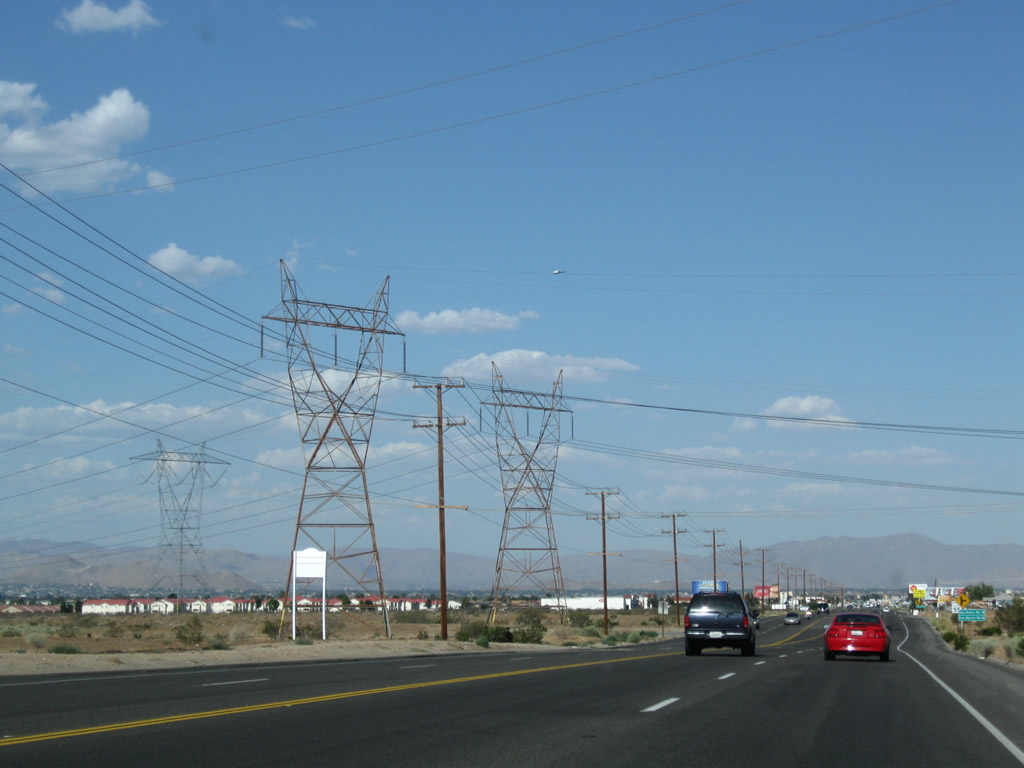
Upon reaching the base of the San Bernardino Mountains and exiting the San Bernardino National Forest, California 18 emerges in the high desert of Mojave. The two-lane highway passes by several limestone quarries, several of which are visible from great distances because they are located on the face of the mountains. In fact, the power lines on the west side of the highway primarily provide power to those limestone mining facilities.
04/18/04
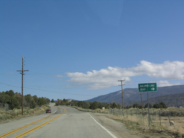
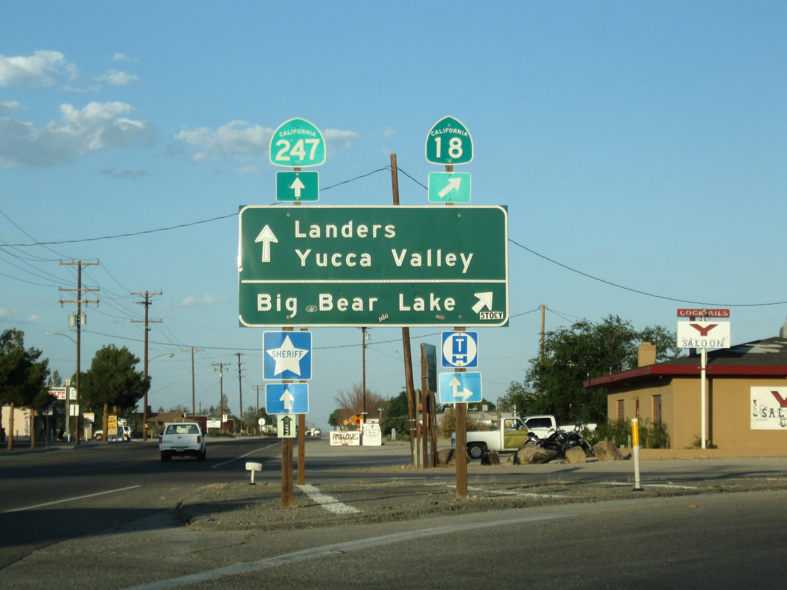
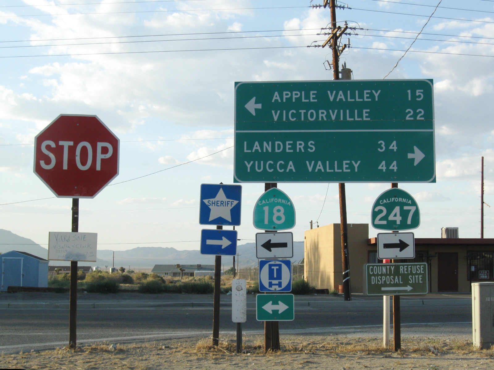
As this signage shows, California 18 makes a left turn upon entering Lucerne Valley. This signage implies that California 18 actually meets California 247, but in reality, they do not meet. To get to California 247 north/south, motorists on California 18 must turn right onto this connector road. Note that both destinations for California 247 (Yucca Valley and Landers) are found along southbound. Landers was made famous in 1992 when an earthquake struck there, causing damage to some of the ubiquitous limestone quarries scattered about the region.
04/18/04
06/27/09
This photo looks north along the highway that links California 18 with California 247 as seen from the stop sign along northbound California 18. As promised, California 18 changes directions again, this time heading west toward Apple Valley and Victorville.
04/18/04
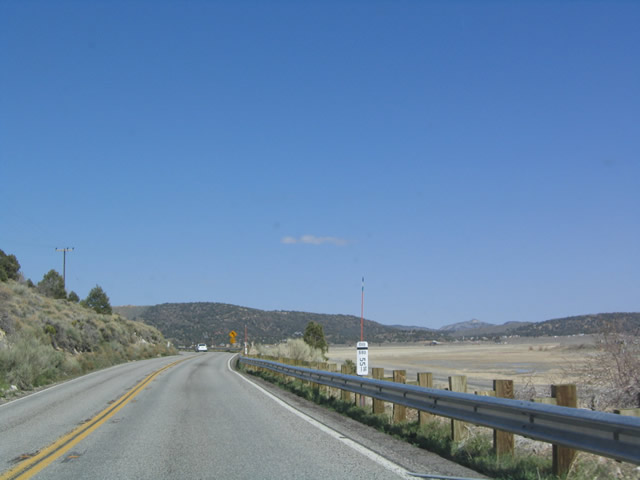
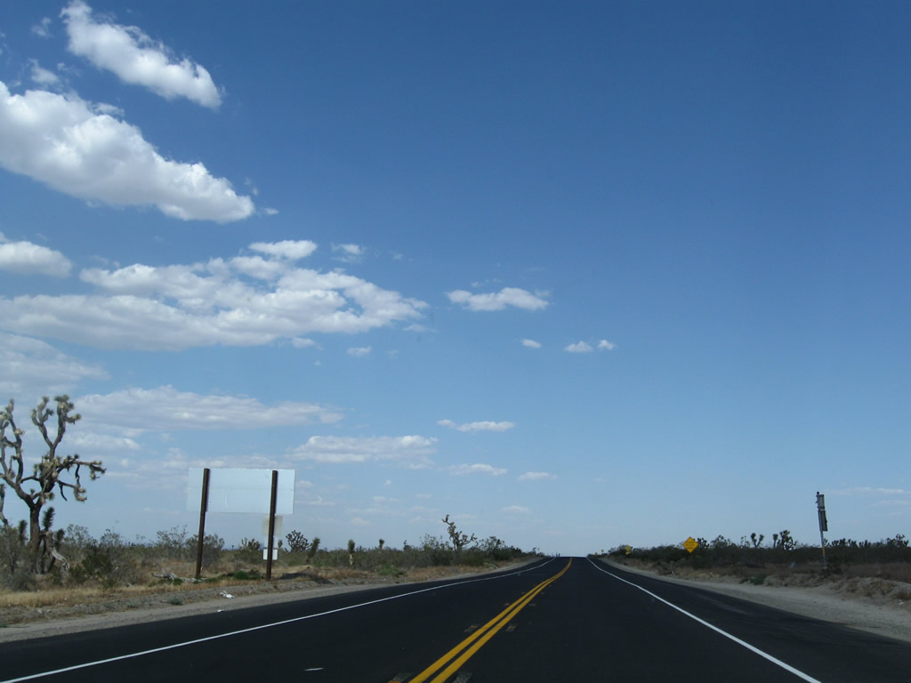
California 18 proceeds west through Lucerne Valley after the California 247 "bump" intersection. Due to the miles of open desert land ahead, California 18 motorists must use daytime headlights between Lucerne Valley and Apple Valley.
06/27/09
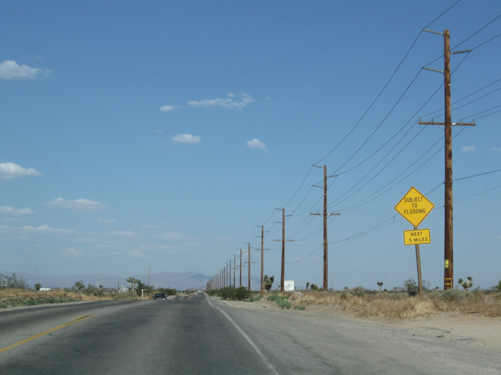
This California 18 west reassurance shield is posted near Rabbit Springs Dry Lake. Like California 247, California 18 passes over a dry lake that rarely sees any sort of standing water (except after significant rain events).
06/27/09
Rabbit Springs Dry Lake is easy to identify with its lack of vegetation and development.
06/27/09
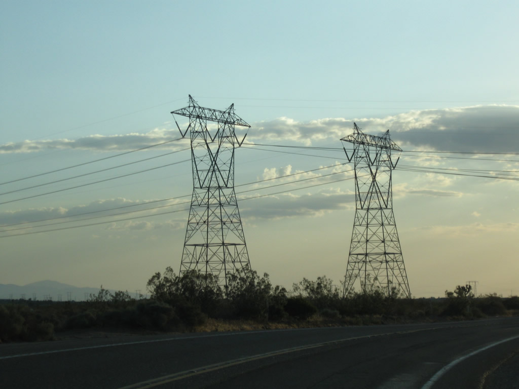
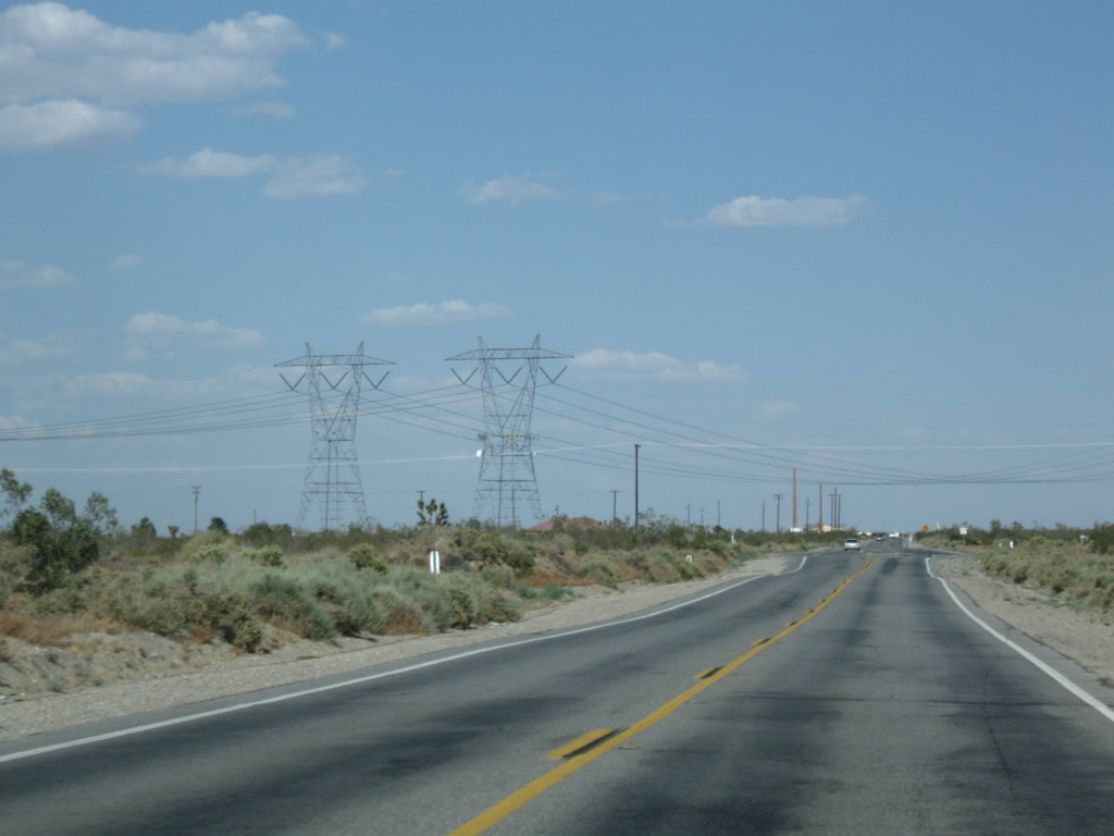
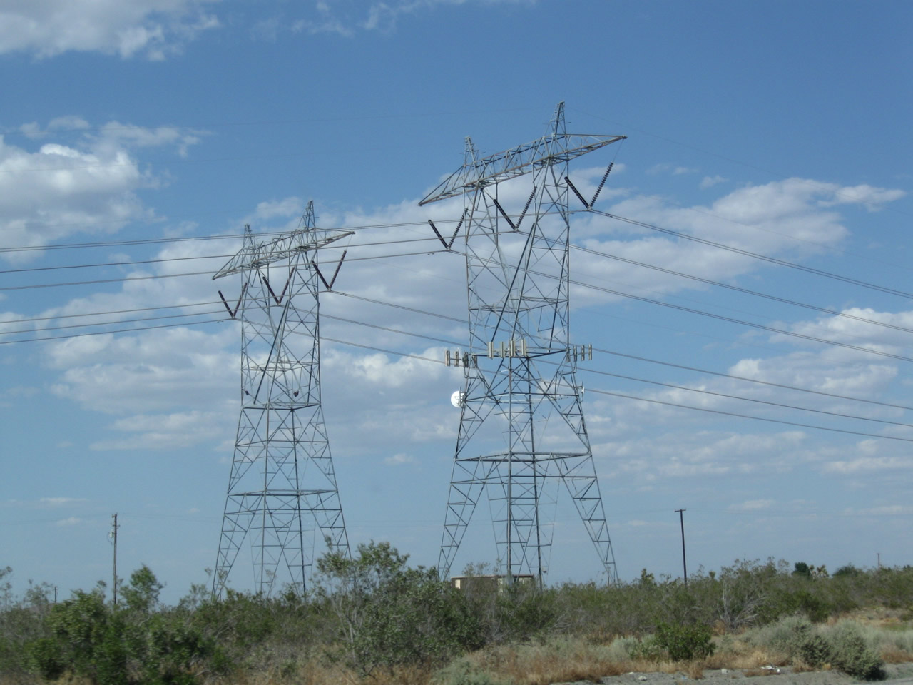
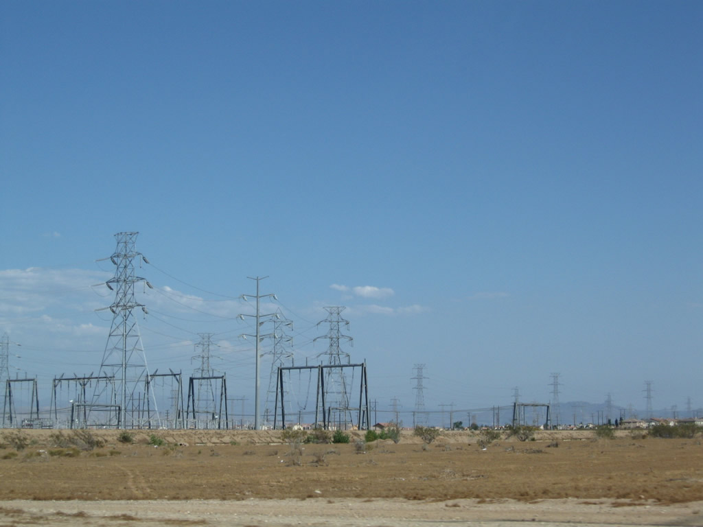
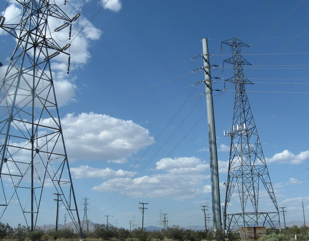
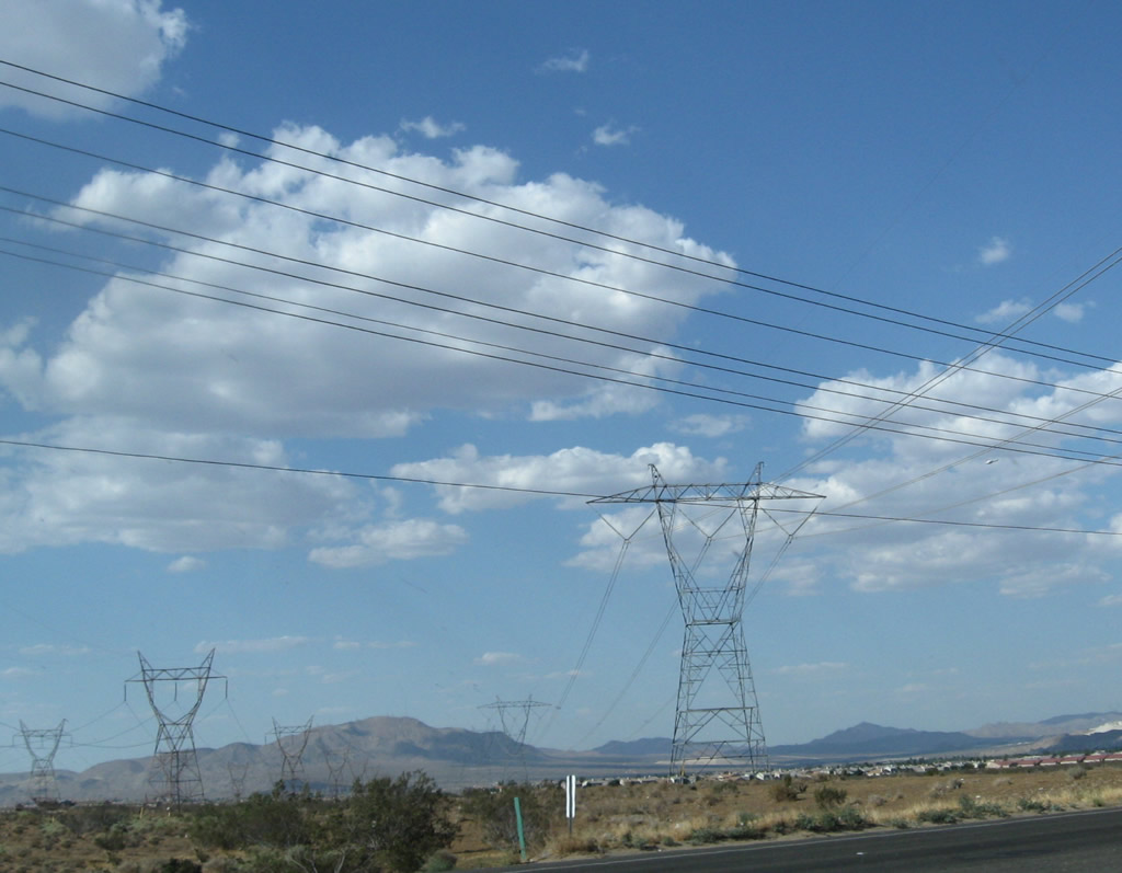
California 18 passes under a branch of electrical transmission Path 46 (West of Colorado River), which includes these two 500kV power transmission lines owned by Southern California Edison. These lines link power generating stations located along the Colorado River with the Lugo substation in Hesperia southwest of here. These lines then proceed west, staying north of the San Gabriel Mountains, heading en route to the Vincent Substation near Palmdale.
06/27/09
The 500kV power transmission lines owned by Southern California Edison have a phase shift that utilizes these tall towers.
06/27/09
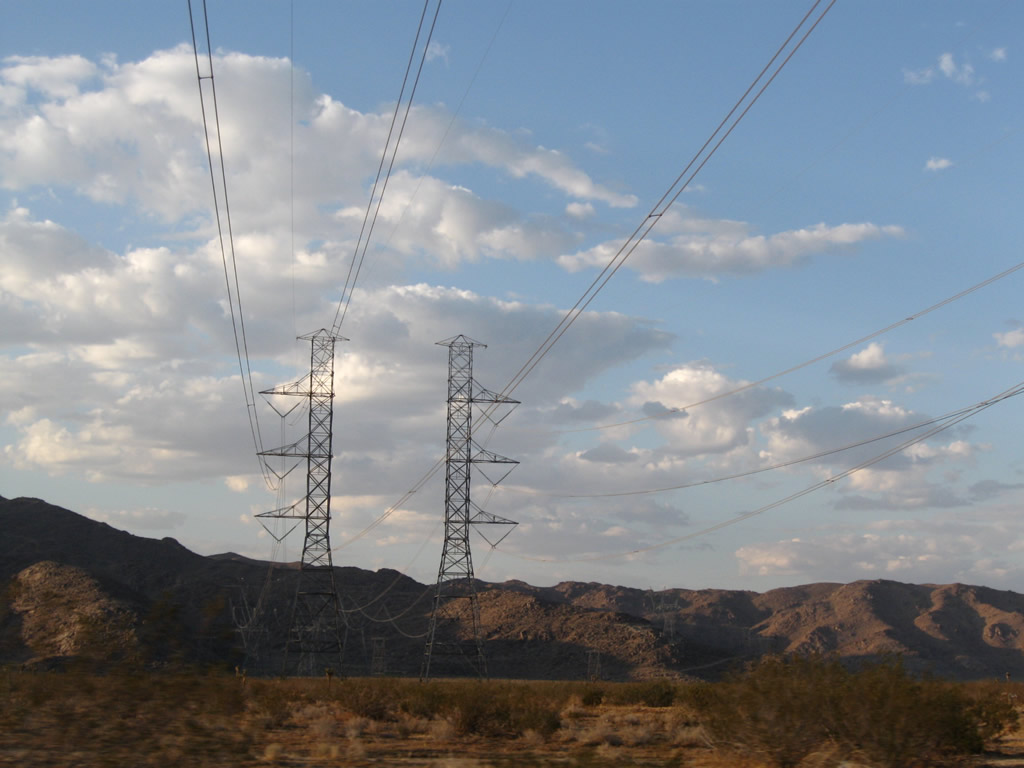
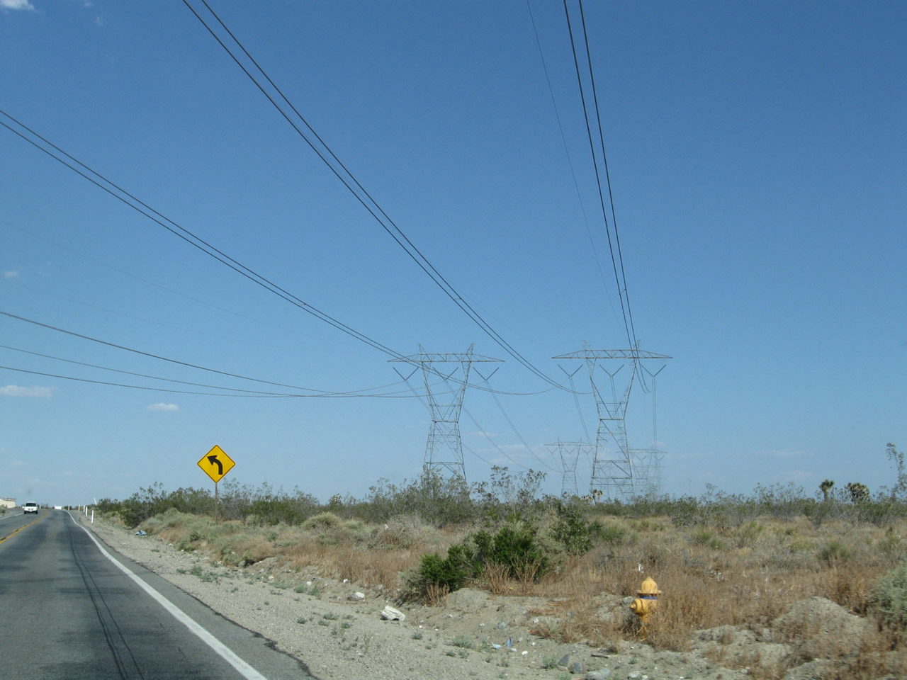
California 18 passes under another branch of electrical transmission Path 46 (West of Colorado River), which includes these two 220kV power transmission lines owned by Southern California Edison.
06/27/09
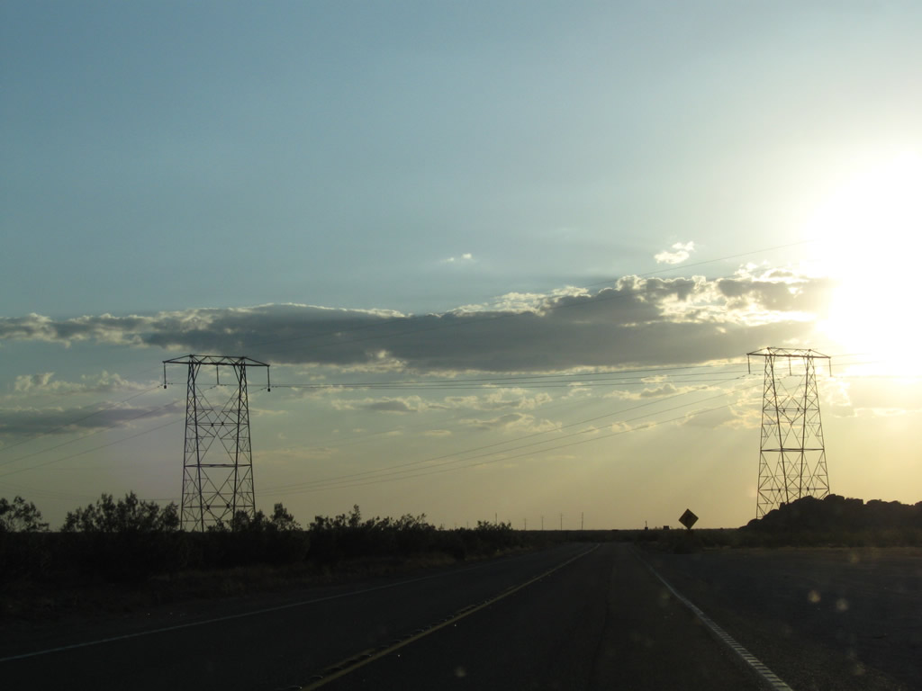
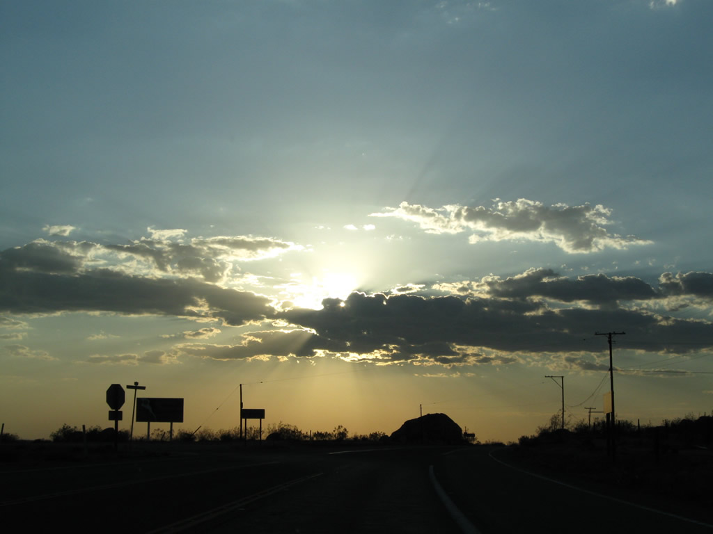
The daytime headlight requirement section ends along westbound California 18 as we crest at this slight rise. A beautiful sunset was in the making on this early summer's evening, mostly due to monsoonal moisture bringing clouds into the area.
06/27/09
Westbound California 18 meets Bear Valley Road at this cutoff. Turn left for Bear Valley Road west to Interstate 15 and Hesperia. Proceed northwest on California 18 to Apple Valley and Victorville.
06/27/09
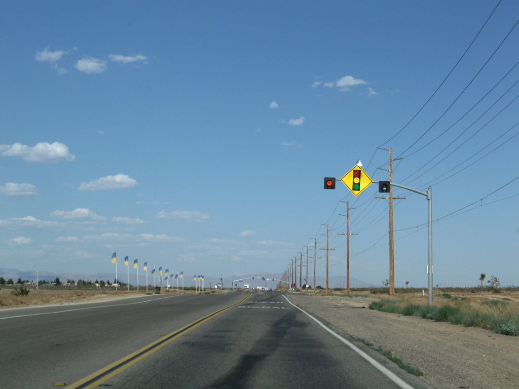
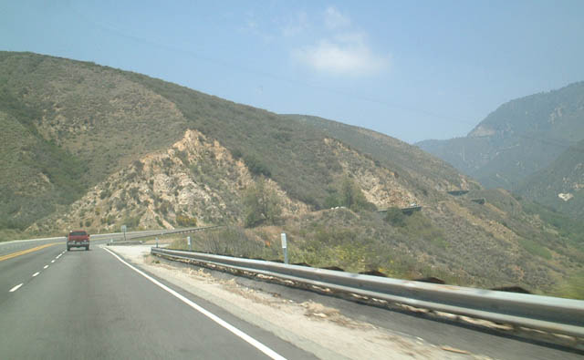
Leaving the intersection with California 138 near Llano in Los Angeles County, eastbound California 18 begins its 27-mile journey to Victorville on the northern slope of the San Gabriel Mountains and southern edge of the Mojave Desert. California 18 will proceed almost due east between the California 138 intersection and Interstate 15 interchange in Victorville, meeting U.S. 395 along the way.
06/27/09
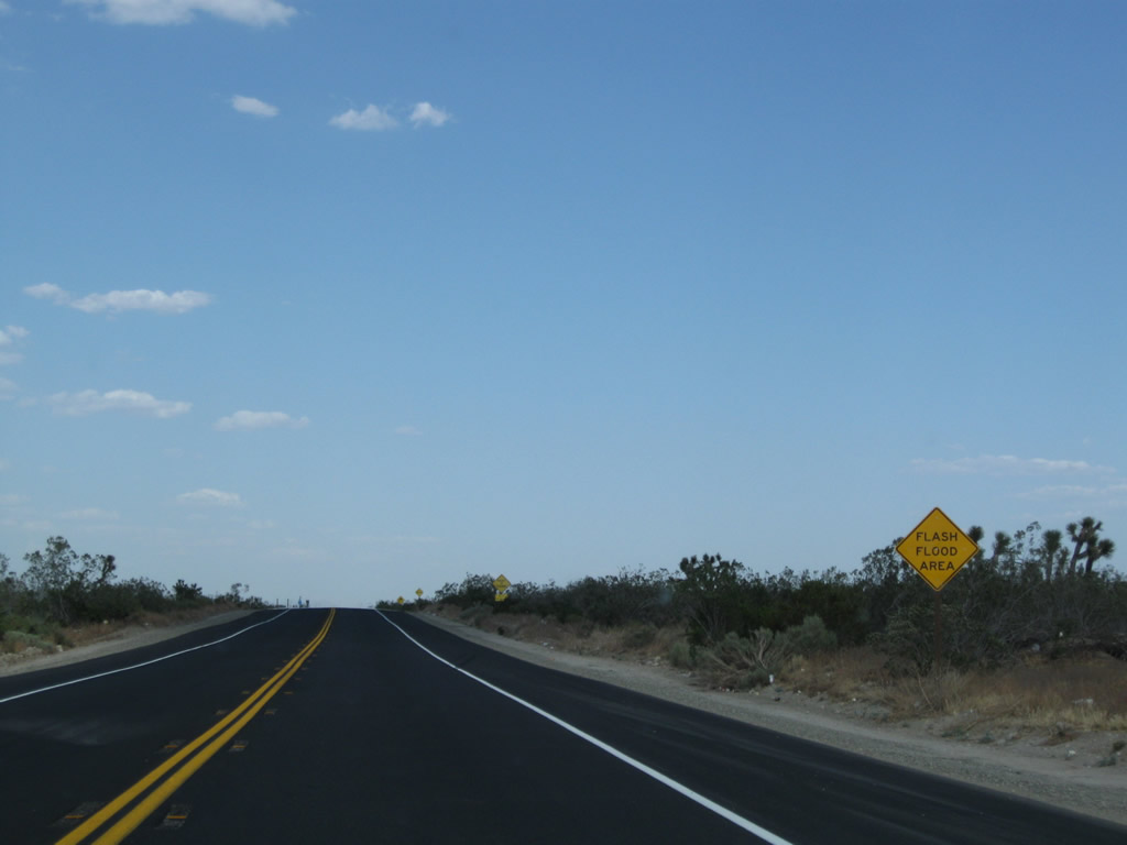
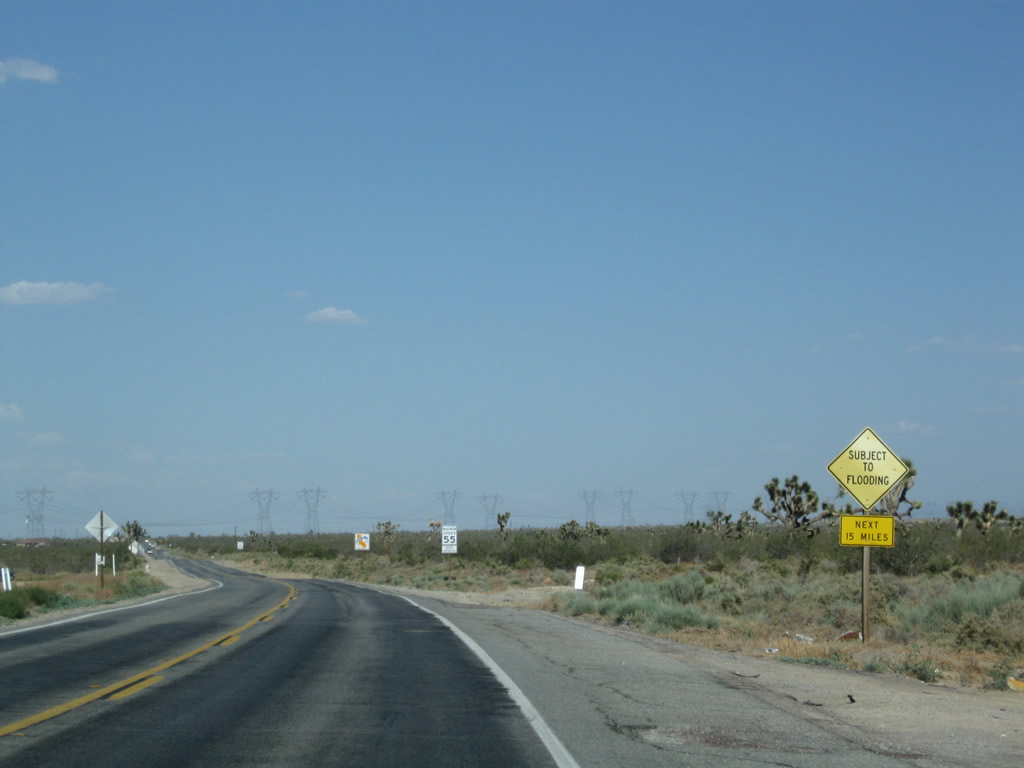
Due to its location on the northern edge of the San Gabriel Mountains and wide washes that can bring floodwaters downhill from the mountains, California 18 can see the possibility of flash flooding, especially in summer with the possibility of heavy localized monsoonal thunderstorms.
06/27/09
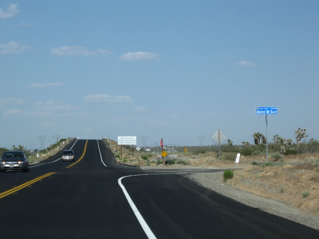
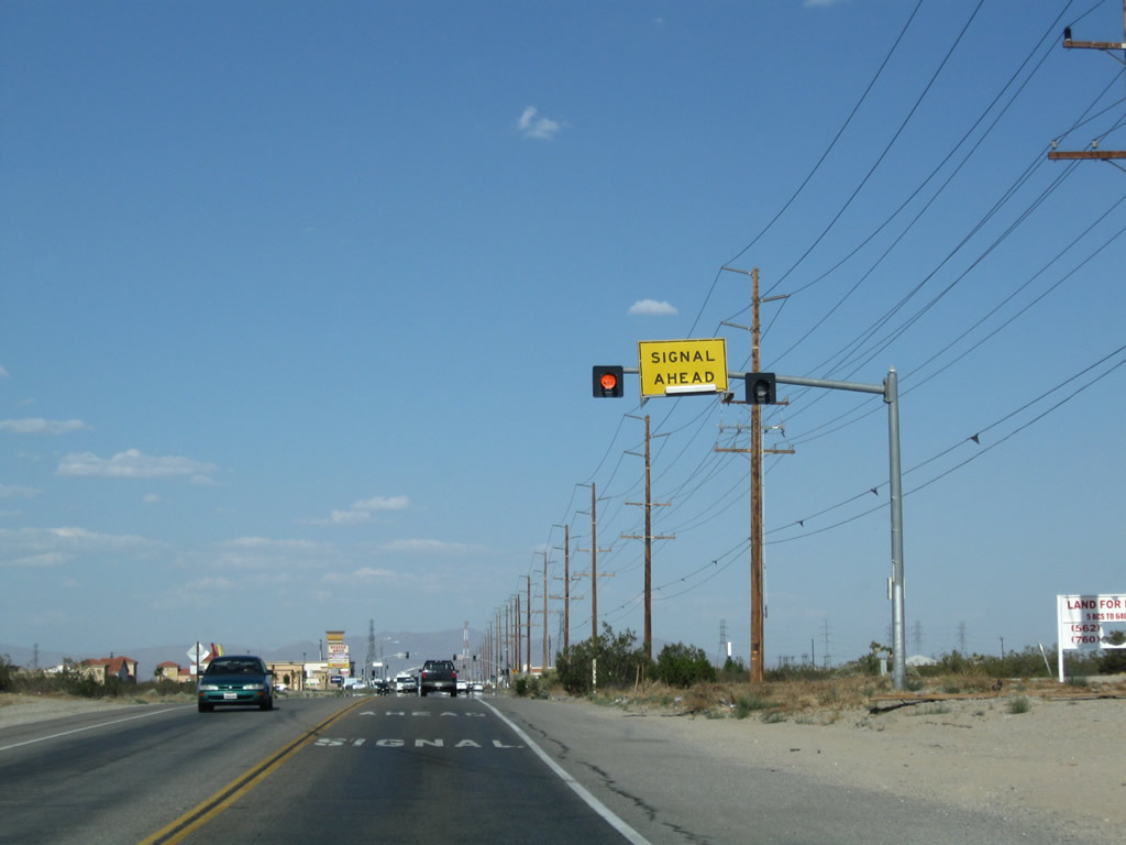
Eastbound California 18 meets 263rd Street East. The daytime headlight safety requirement ends soon after this intersection.
06/27/09
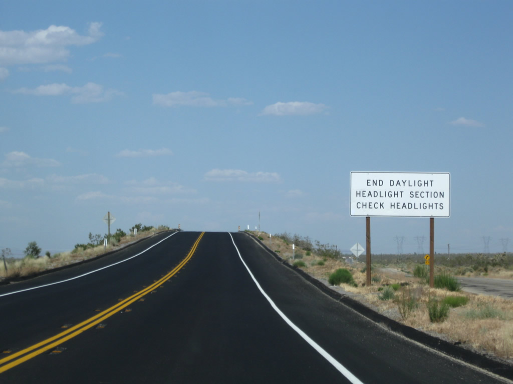
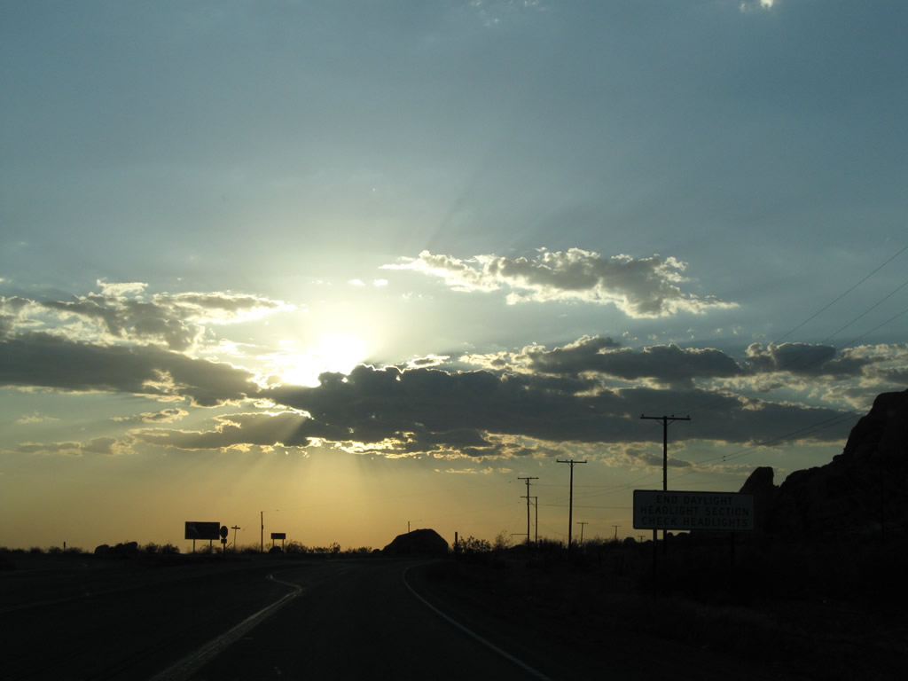
The daytime headlight section comes to an end along California 18 east.
06/27/09
California 18 crosses over a railroad just before reaching the Los Angeles-San Bernardino County Line.
06/27/09
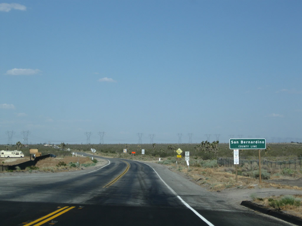
Eastbound California 18 leaves Los Angeles County and enters San Bernardino County. The state route changes names from Pearblossom Highway to Palmdale Road at the county line.
06/27/09
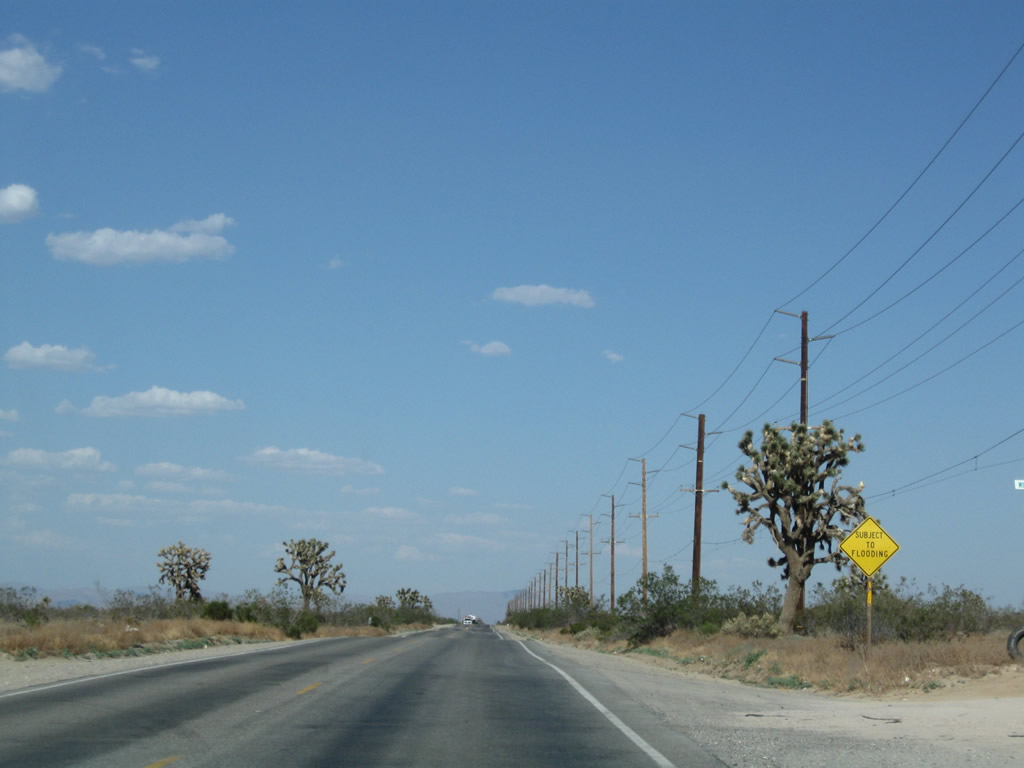
California 18 (Palmdale Road) continues east through an area subject to flooding.
06/27/09
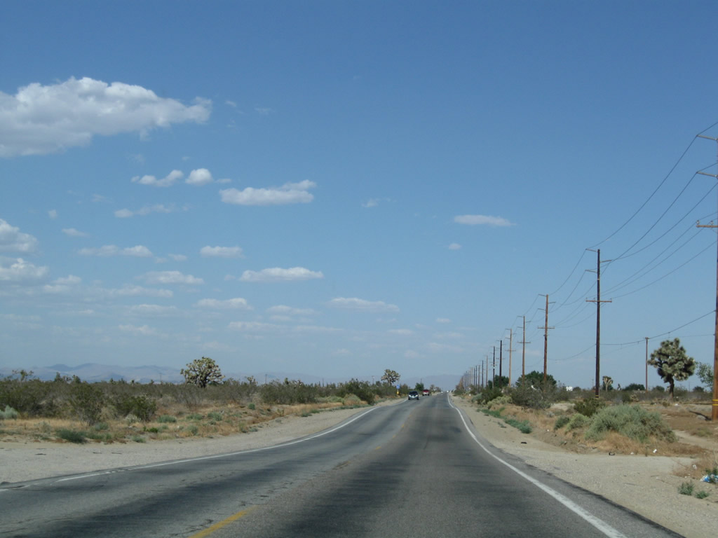
Two Southern California Edison 500kV power lines cross over California 18 (Palmdale Road). These lines connect the Vincent substation (near the California 14 and N-3/Angeles Forest Highway interchange) with the Lugo substation in Hesperia.
06/27/09
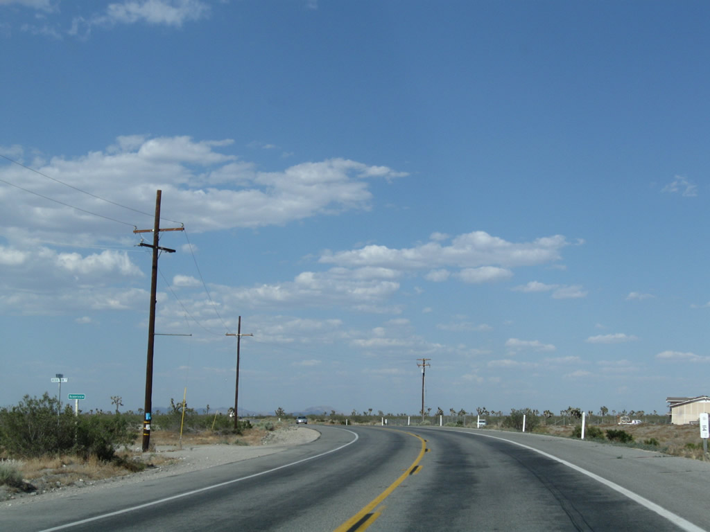
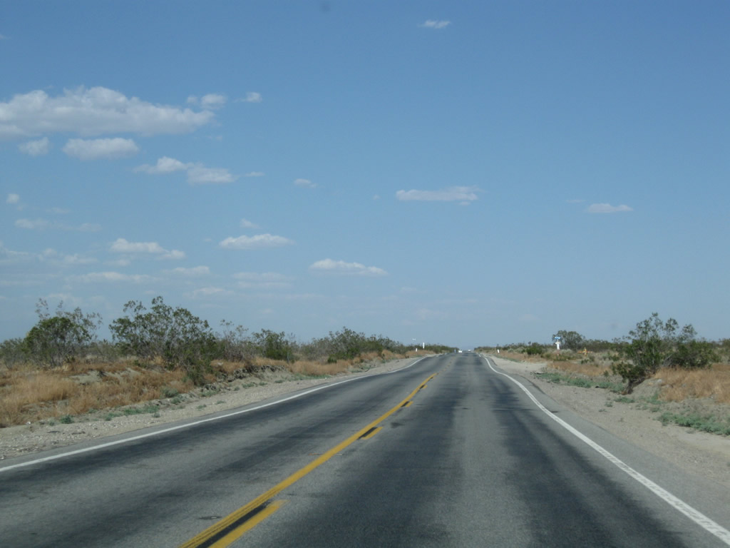
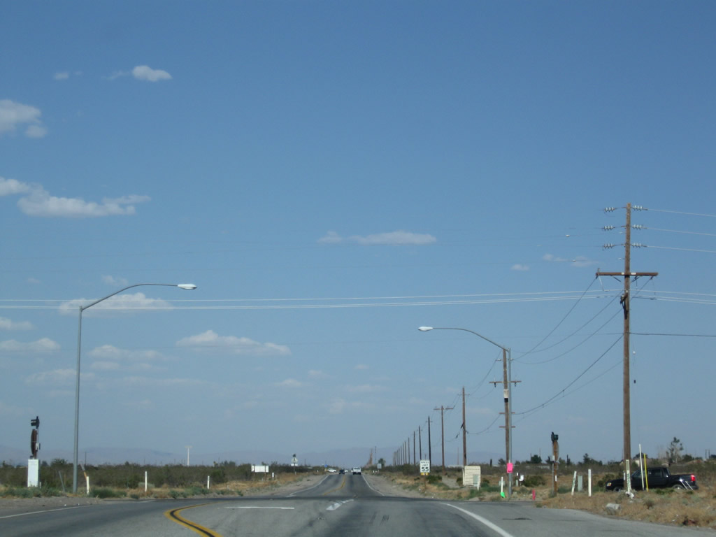
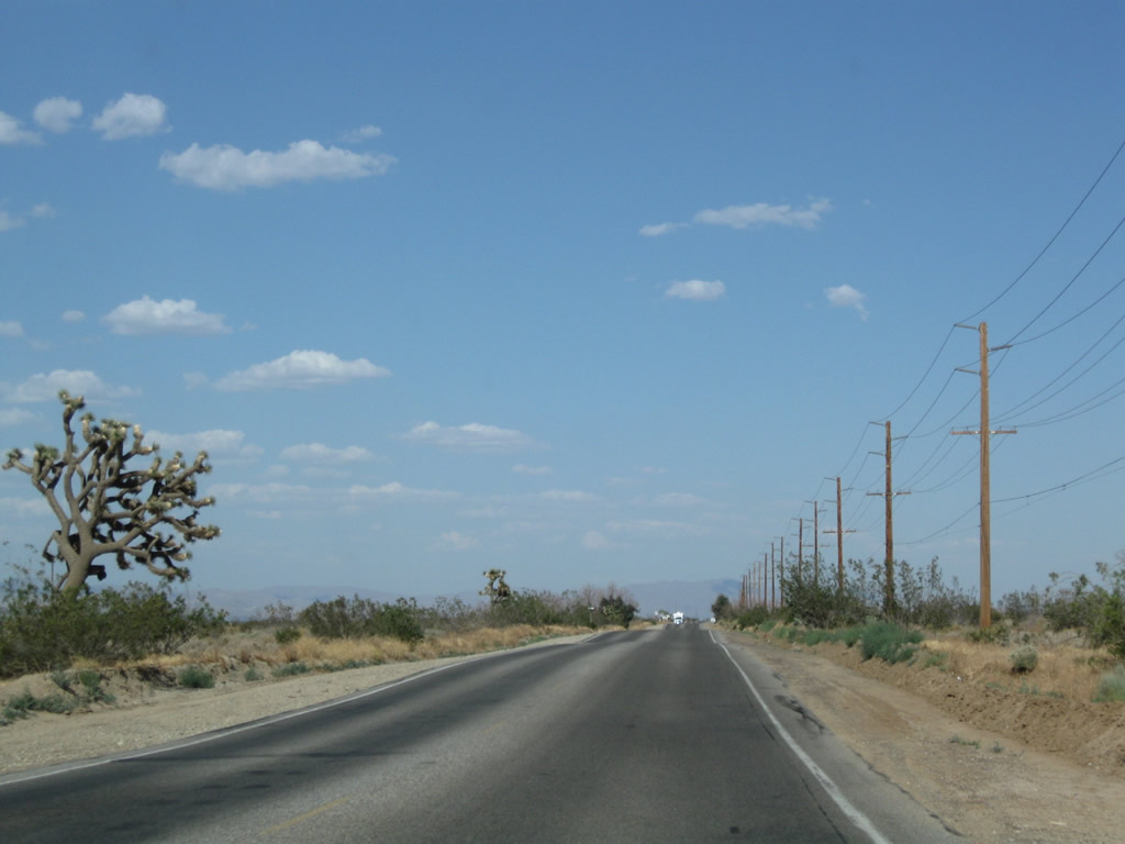
California 18 (Palmdale Road) continues east en route to Victorville. This section of the Mojave Desert is sparsely populated but does see some homesteads and ranches as the two-lane highway proceeds along its trek.
06/27/09
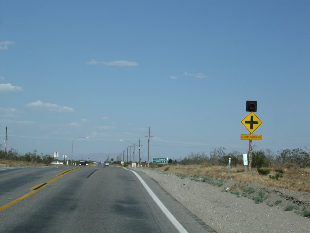
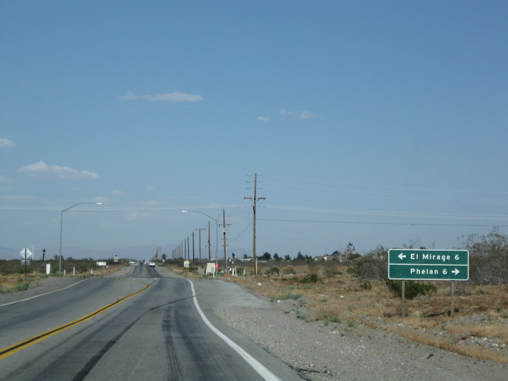
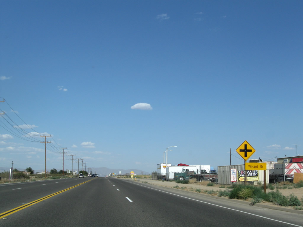
Eastbound California 18 (Palmdale Road) approaches Sheep Creek Road, which travels south to Phelan and ultimately connects to California 138. Turn left here for Sheep Creek Road north to El Mirage.
06/27/09
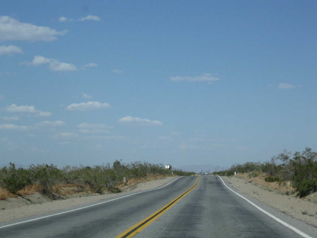
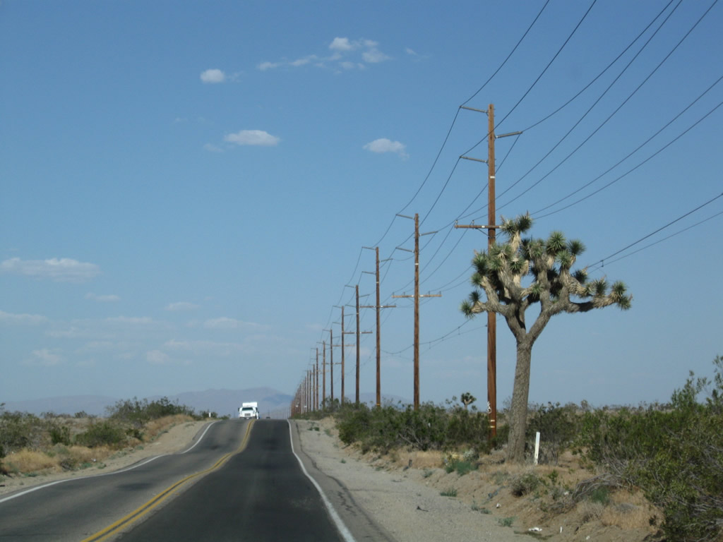
East of Johnson Road, California 18 (Palmdale Road) proceeds through the mostly undeveloped Mojave Desert. Joshua trees, a common plant found in the Mojave Desert, become more common as California 18 proceeds east and gradually loses elevation en route to Victorville.
06/27/09
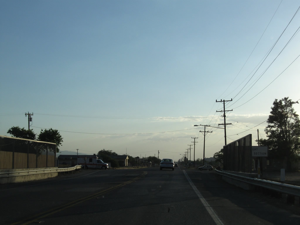
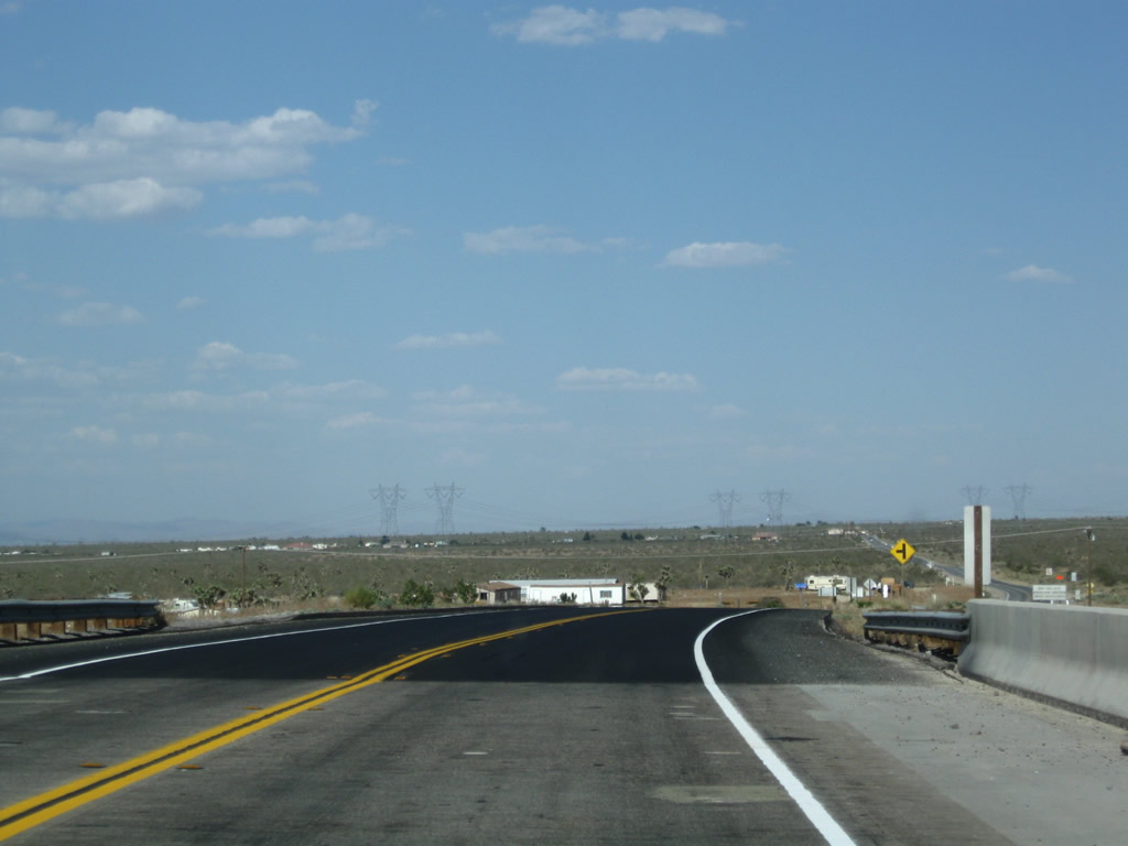
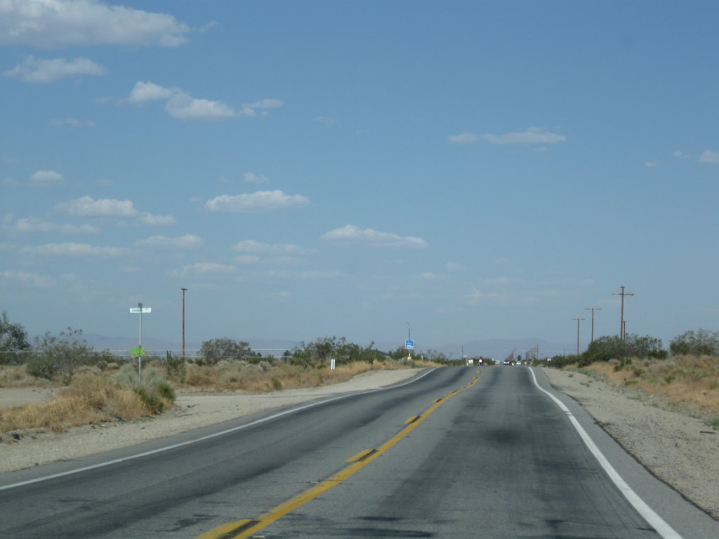
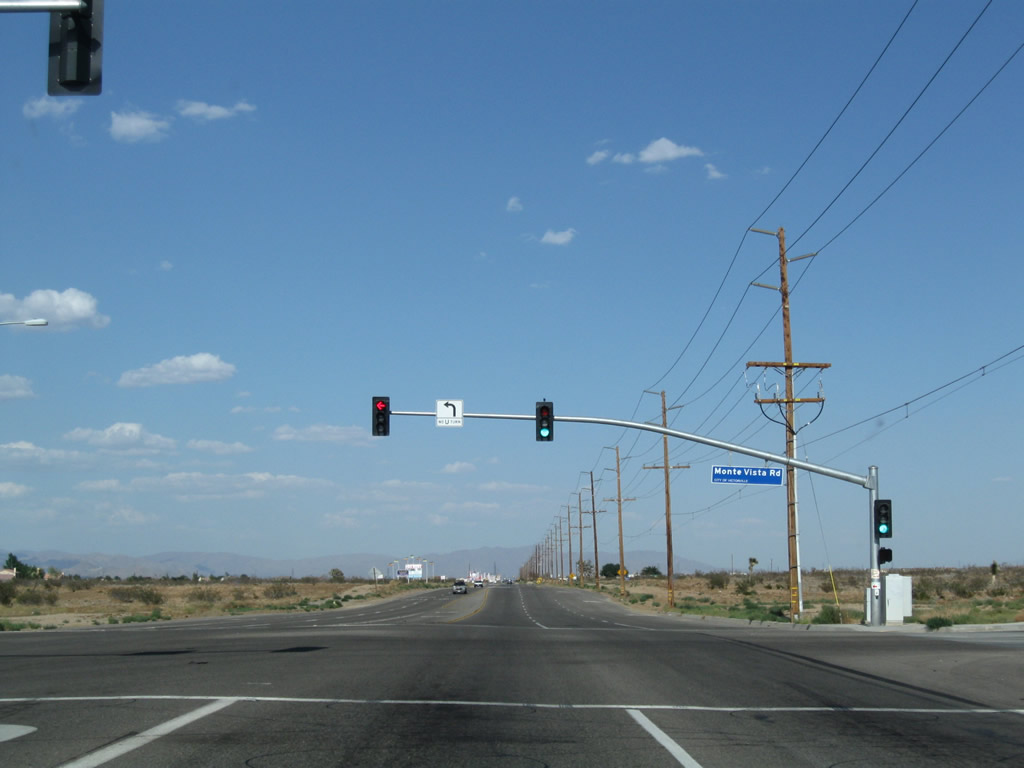
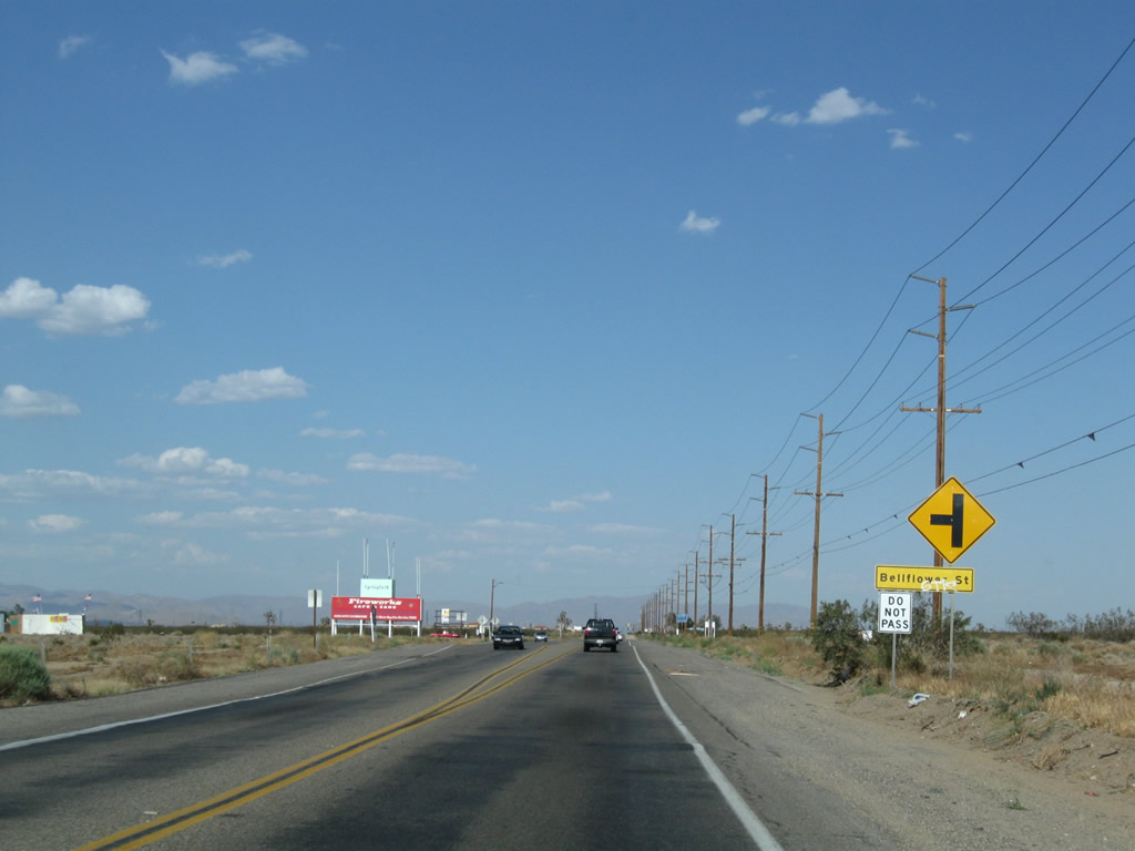
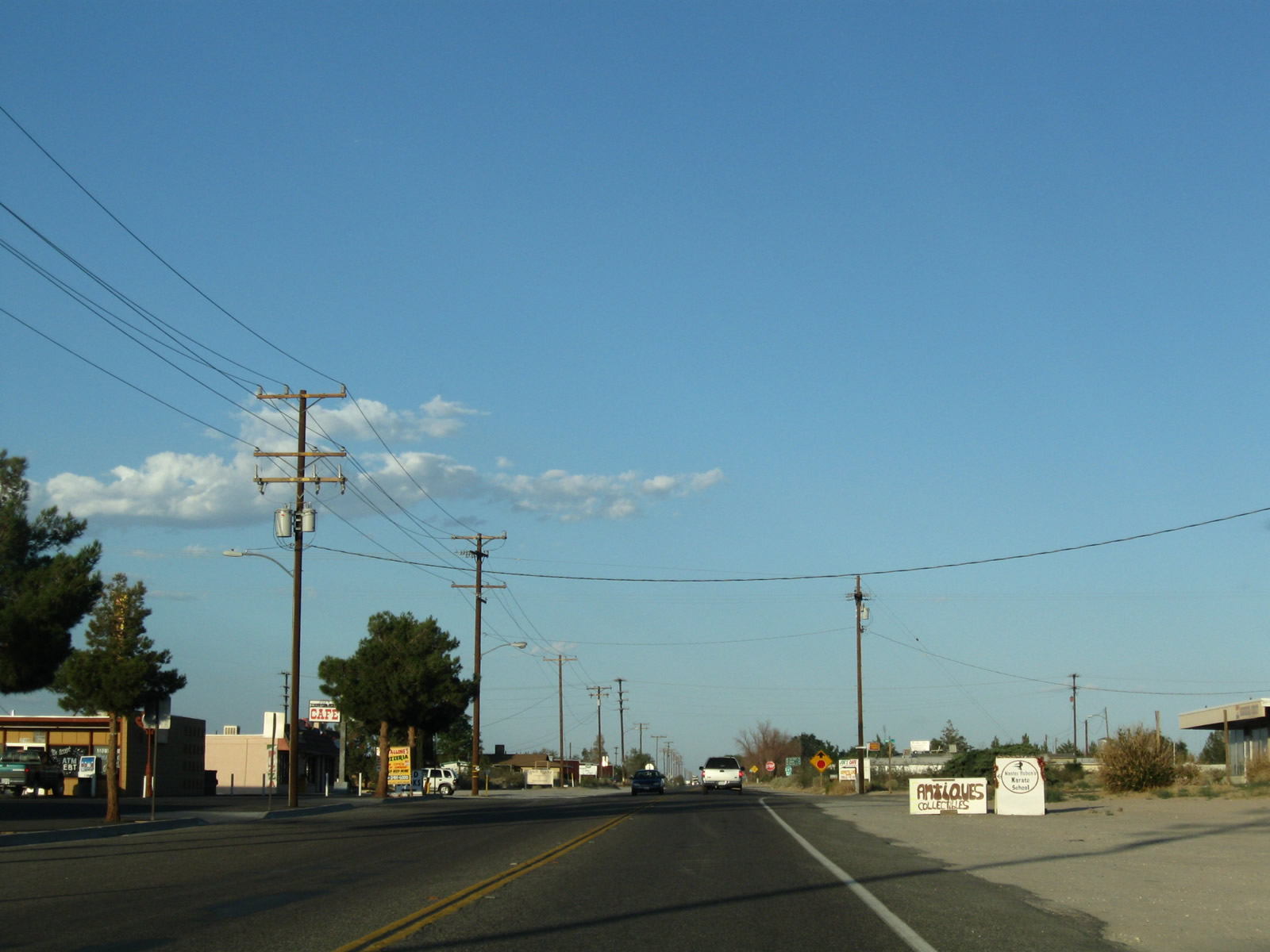
Almost as if crossing a line, development emerges along California 18 (Palmdale Road) as we skirt the southern edge of the city of Adelanto (population 31,765 as of the 2010 Census and incorporated on December 22, 1970). Several intersecting roads link California 18 with the various residential developments, many of which are master planned and are subdivisions of ranches. A traffic signal governs the flow of traffic with Monte Vista Road, and some areas appear ripe for eventual development (such as the area around Bellflower Street). Nearing U.S. 395, we find a small shopping center that offers food, gas, and other goods and services.
06/27/09
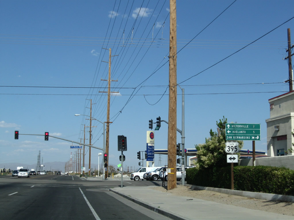
In southern Adelanto near the commercial shopping area, eastbound California 18 (Palmdale Road) meets U.S. 395 (Three Flags Highway) at this traffic signal. U.S. 395 is a major north-south corridor that originates just south of here at Interstate 15 and extends north through the Mojave Desert into the Owens River Valley and the Eastern Sierra.
06/27/09
Turn right here for U.S. 395 south to Interstate 15 south en route to San Bernardino and San Diego. Turn left here for U.S. 395 north to downtown Adelanto, Ridgecrest, Independence, Bishop, and Reno. Ahead, California 18 will travel seven miles toward Victorville.
06/27/09
California 18 sees a four-lane segment east of U.S. 395.
06/27/09
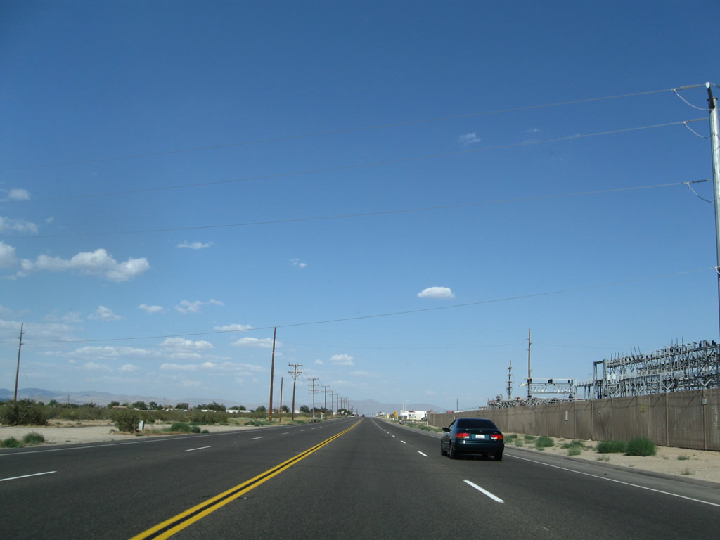
East of U.S. 395, California 18 leaves Adelanto and enters the city of Victorville. The state route passes by a power substation that has several power lines owned by Southern California Edison converging at this substation. The facility lines up on the south side of California 18.
06/27/09
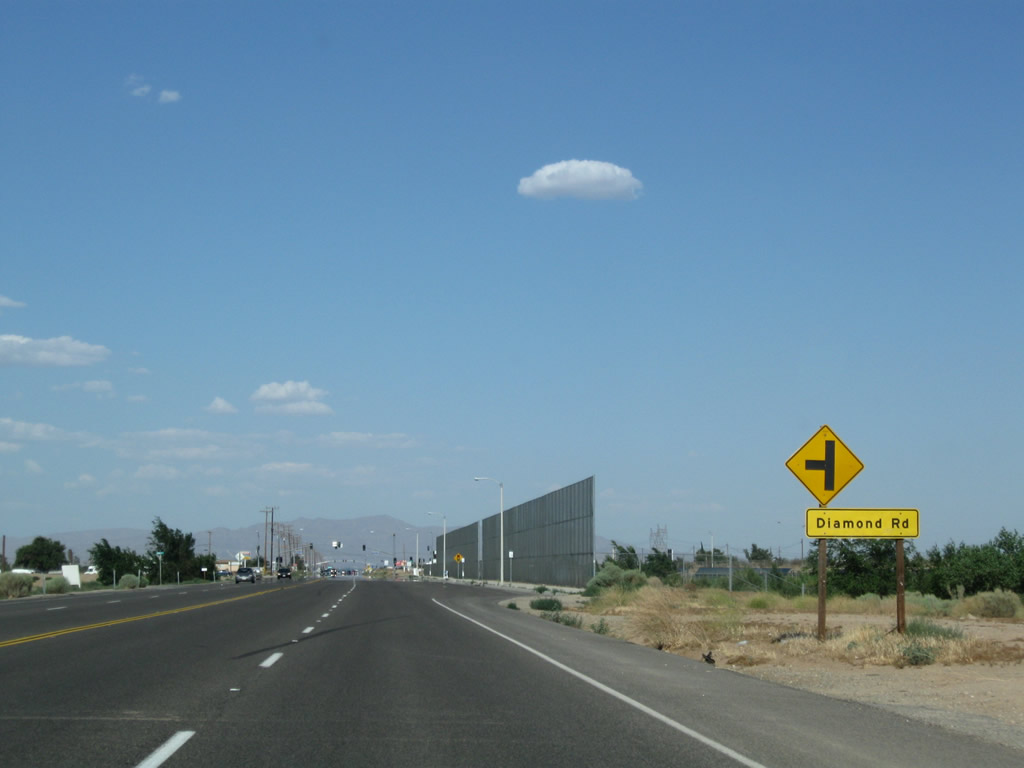
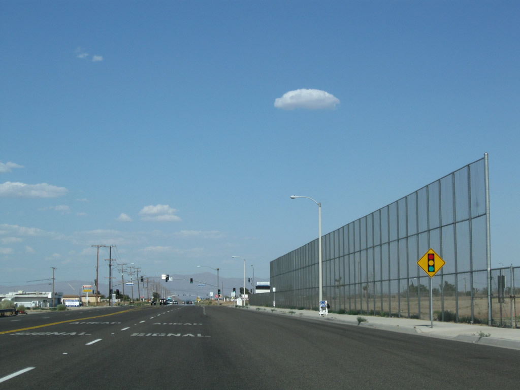
Continuing east, California 18 proceeds through western Victorville and skirts the northern edge of the unincorporated Mountain View Acres residential development. The city of Victorville had a population of 115,903 as of the 2010 Census and is located in the Victor Valley (through which the Mojave River runs). The city incorporated on September 21, 1962, and it sits at an elevation of 2,726 feet. This series of pictures follows California 18 east as it meets Emerald Road, Diamond Road, and Cobalt Road (signalized intersection).
06/27/09
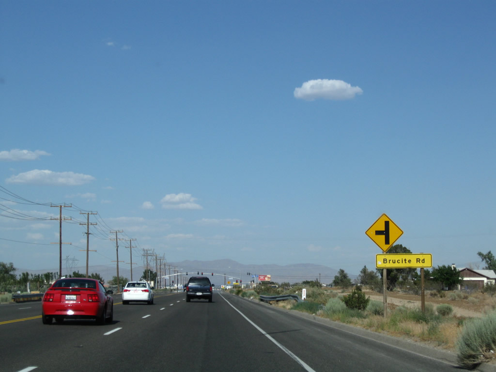
Eastbound California 18 meets Brucite Road and Amethyst Road, then passes under a pair of Los Angeles Department of Water and Power lines as well as a 500kV Southern California Edison/Los Angeles Department of Water and Power connector line that links a LADWP substation north of here with a Southern California Edison substation at Lugo near Hesperia.
06/27/09
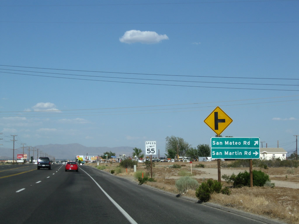
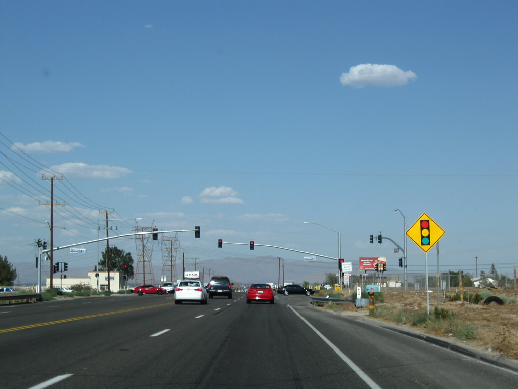
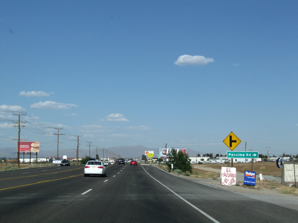
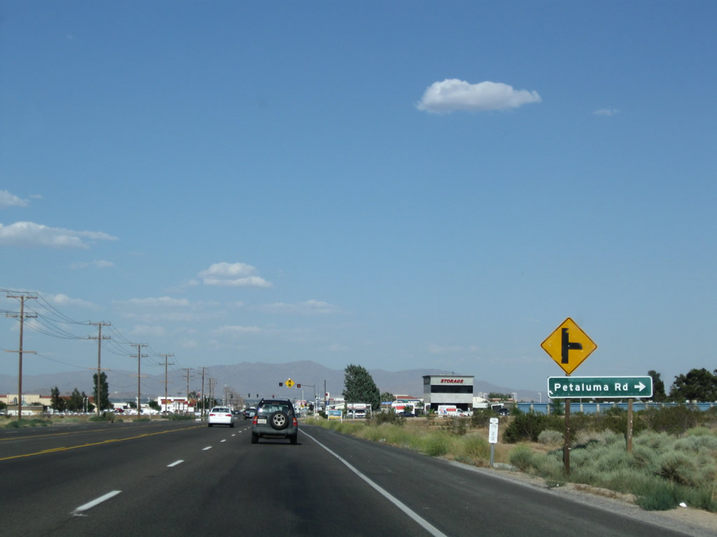
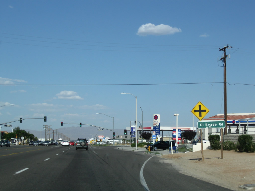
Passing under those power lines, eastbound California 18 meets San Mateo Road and San Martin Road, then intersects Pacoima Road, Petaluma Road, and El Evado Road. El Evado Road is governed by a traffic signal. California 18 passes through a commercial zone with businesses on both sides of the state route.
06/27/09
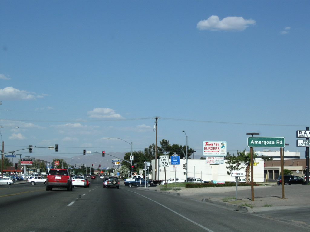
California 18 approaches Amargosa Road. Traffic increases as we get closer to the Interstate 15 corridor.
06/27/09
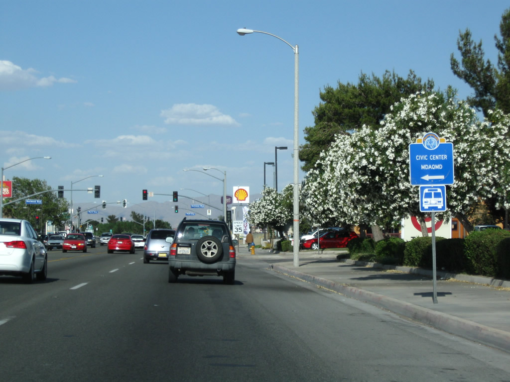
The next traffic signals along California 18 east are with Kentwood Boulevard and Park Avenue. Turn left to the Mojave Desert Air Quality Management offices as noted on this trailblazer sign.
06/27/09
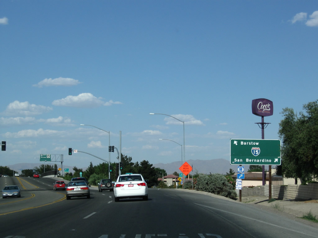
Eastbound California 18 meets Interstate 15 almost immediately thereafter. The first right turn is the on-ramp to Interstate 15 south to San Bernardino, Los Angeles, and San Diego. Continue ahead for the second right onto Interstate 15 north and California 18 east to Lucerne Valley.
06/27/09
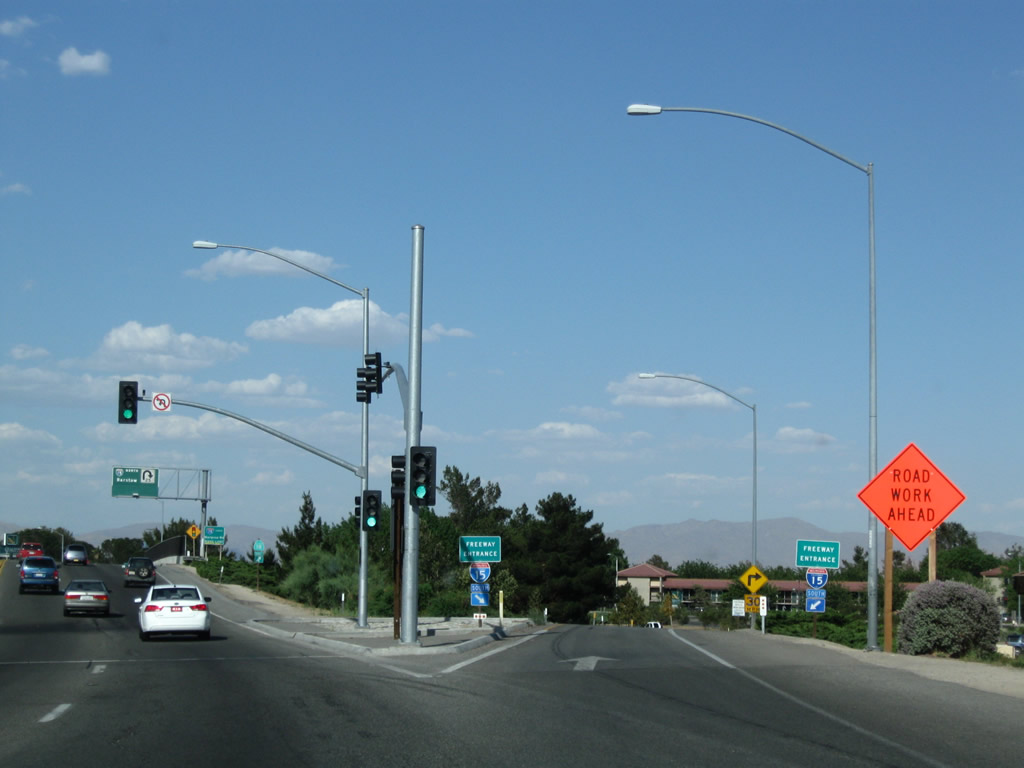
A high-speed ramp links California 18 east with Interstate 15 south.
06/27/09
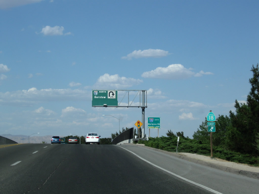
California 18 east and Interstate 15 north will merge together. This allows California 18 to avoid most of Victorville, although it must pass through downtown to make its way east toward Apple Valley and Lucerne Valley.
06/27/09
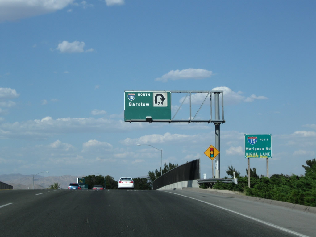
The right lane of California 18 east connects to Interstate 15 north, which travels northeast along the former U.S. 91 corridor toward Barstow, Las Vegas, and St. George.
06/27/09
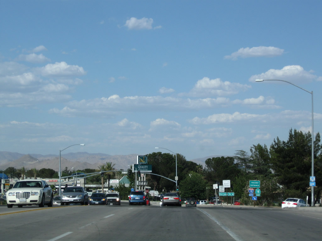
Eastbound California 18 departs from Palmdale Boulevard onto Interstate 15 north (right exit). The left two lanes of Palmdale Bouelvard continue ahead into downtown Victorville and becomes designated as Business Loop I-15 and Historic U.S. 66-91.
06/27/09
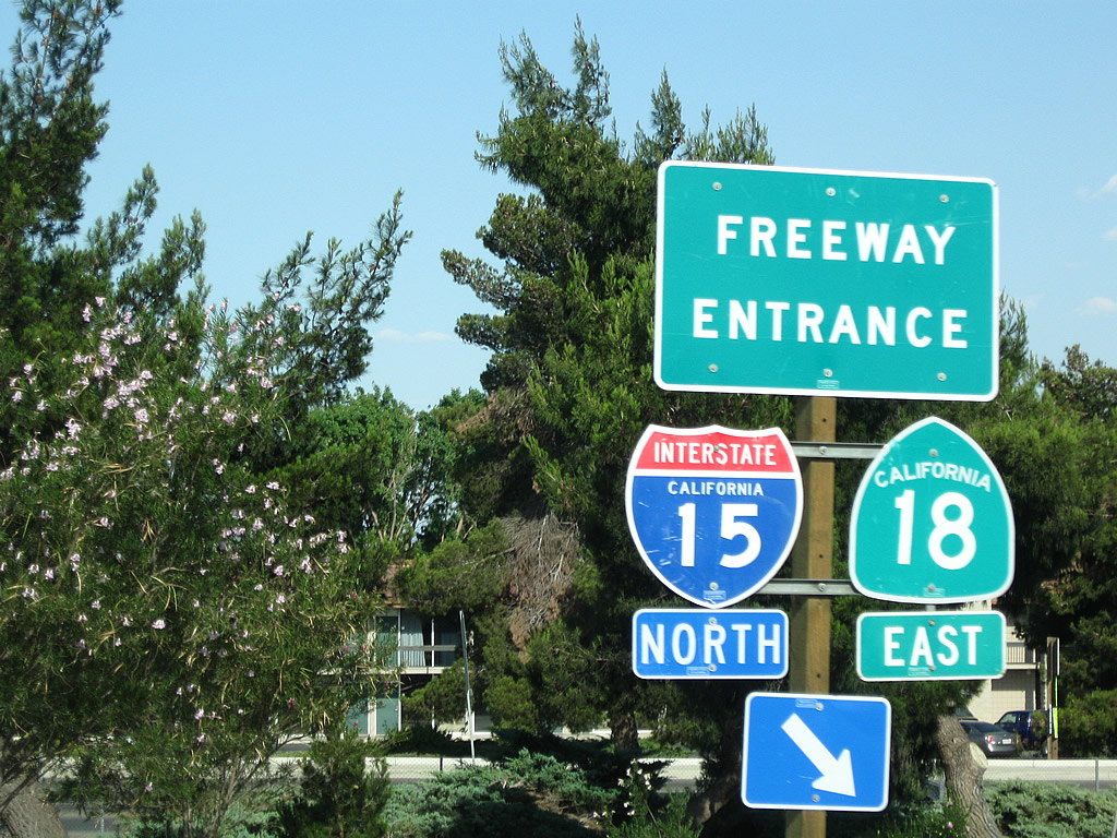
The freeway entrance shield assembly includes both California 18 and Interstate 15.
06/27/09
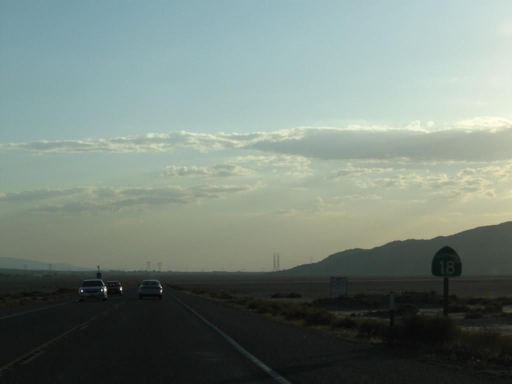
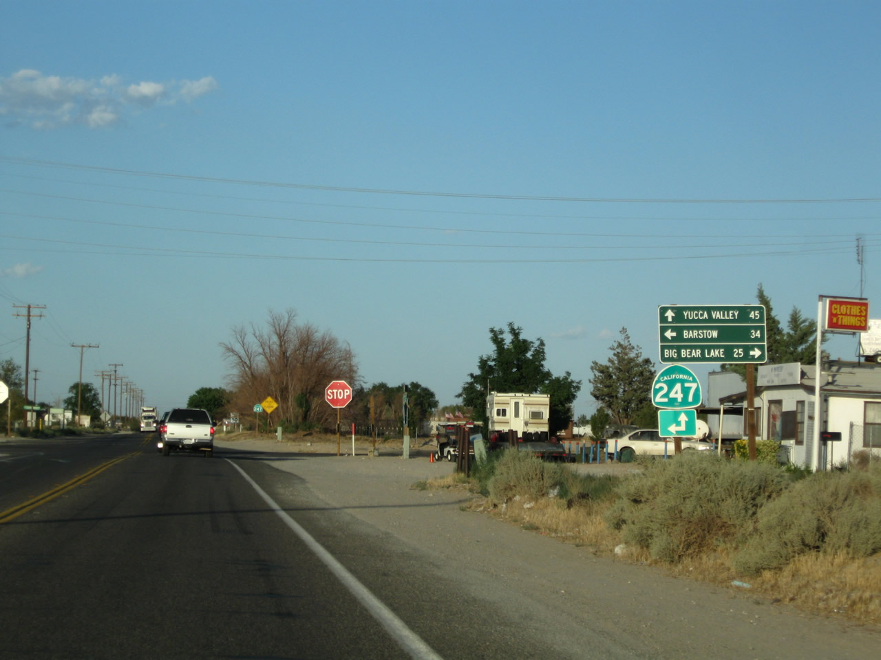
Eastbound California 18 meets Old Woman Springs Road at this intersection. Old Woman Springs Road connects to California 247 at a four-way stop just a couple hundred yards east of here in Lucerne Valley. At that four-way stop intersection, motorists can turn left for California 247/Barstow Road north to Barstow (34 miles) or proceed ahead for California 247/Old Woman Springs Road southeast to Landers, Yucca Valley, and California 62 (34 miles). Through traffic along California 18 south should aim right at this intersection.
06/27/09
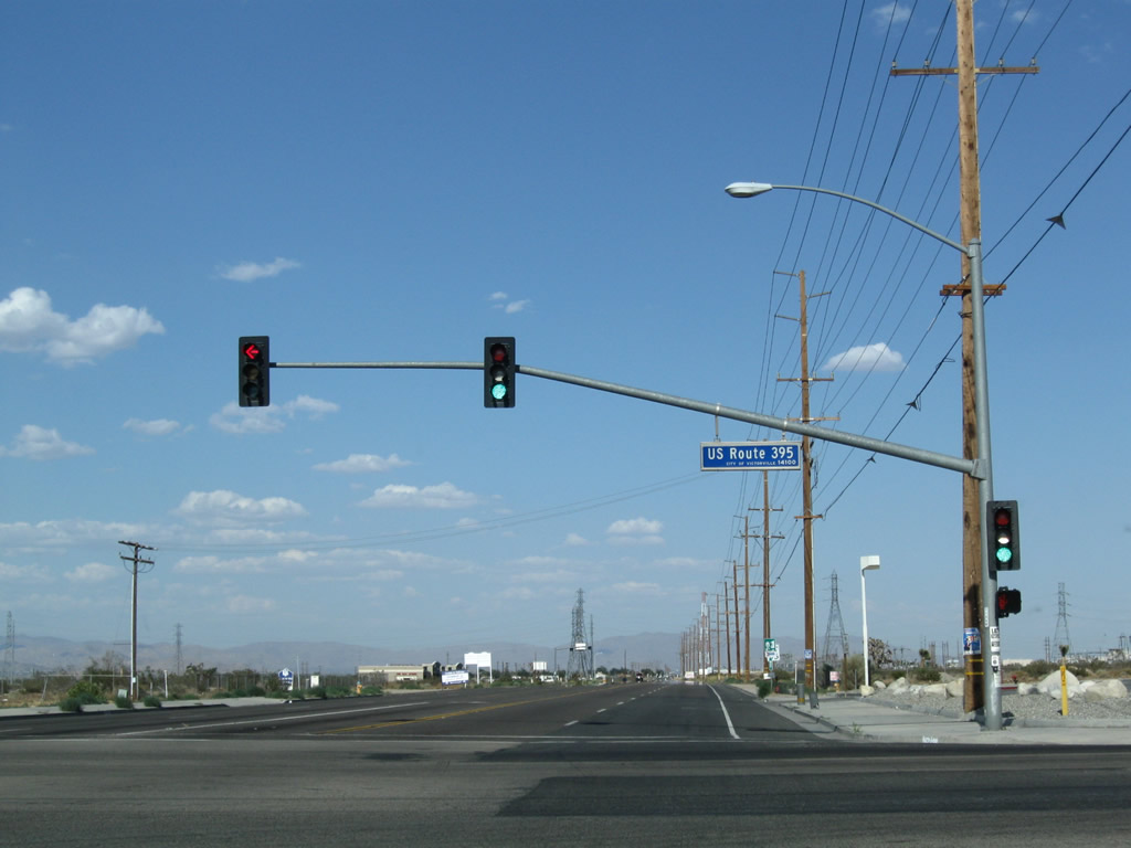
Southbound California 18 and California 38 approach their southern junction in Big Bear City. California 18 turns right (west) toward Lake Arrowhead, while California 38 turns left (east, south, then west) toward Redlands via the national forest.
05/02/02
Westbound California 18 along Paine Road at Milepost 48, at California 18 Business eastbound in Big Bear Lake.
05/02/02
After a late season snow storm, this picture shows westbound California 18 as it passes through Running Springs just after the California 330 south split. The highway veers to the right as it passes through town.
04/18/04
View of southbound California 18 as heads down the mountain toward San Bernardino. The vantage point for this photo is the old alignment of California 18 near Crestline.
04/18/04
Now at the bottom of the hill, a California 18 south reassurance shield is posted after the Sierra Way/California 18 Business split.
07/15/07
Southbound California 18/Waterman Avenue approaches 40th Street in San Bernardino.
07/15/07
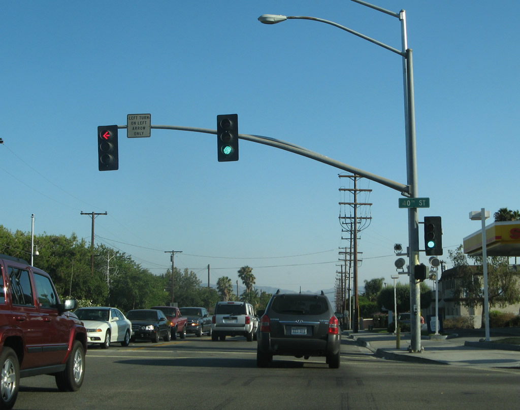
Southbound California 18/Waterman Avenue meets 40th Street at this traffic signal.
07/15/07
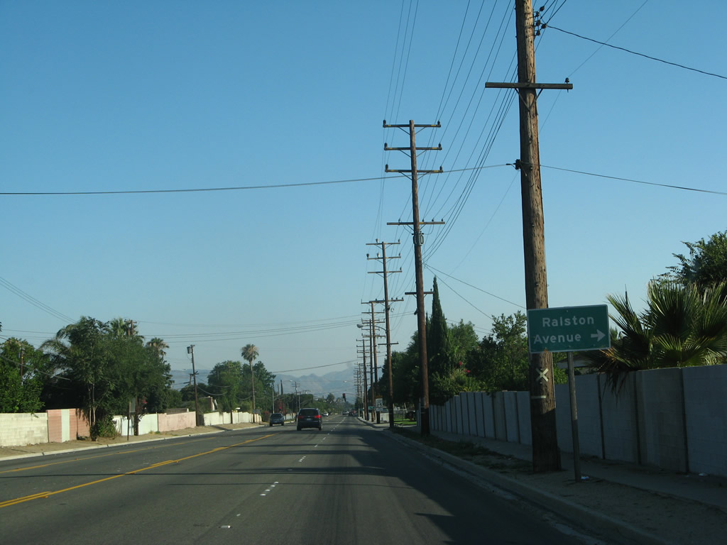
Continuing south, California 18/Waterman Avenue approaches Ralston Avenue.
07/15/07
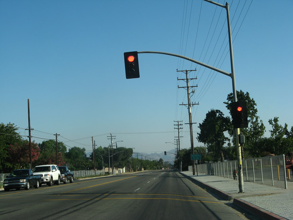
Another traffic signal is found at California 18/Waterman Avenue south and 38th Street. After that is another signal for Parkdale Drive.
07/15/07
A California 18 reassurance shield is posted after Parkdale Drive along southbound Waterman Avenue.
07/15/07
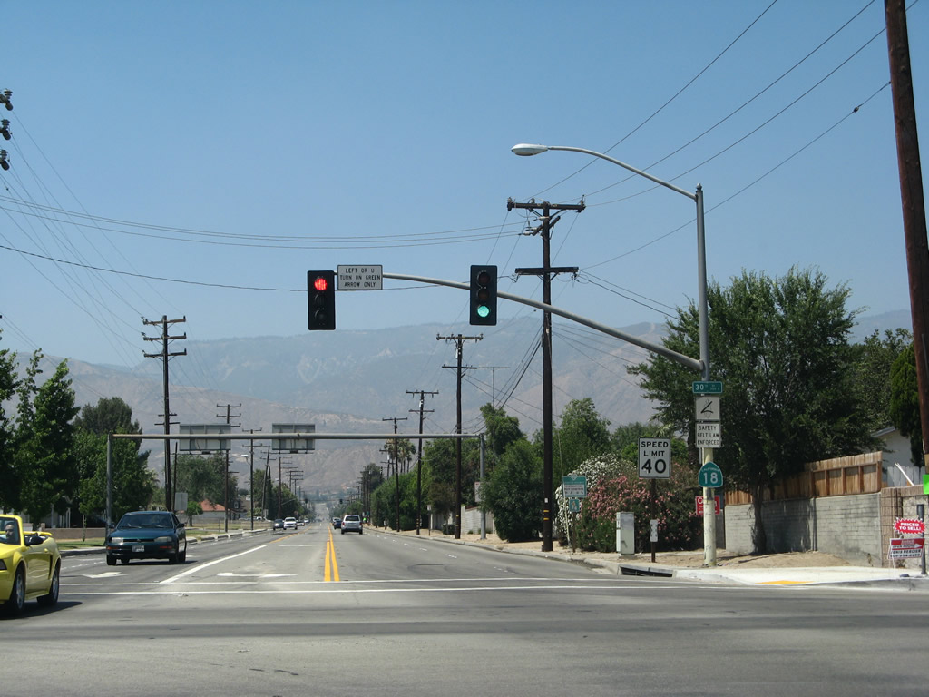
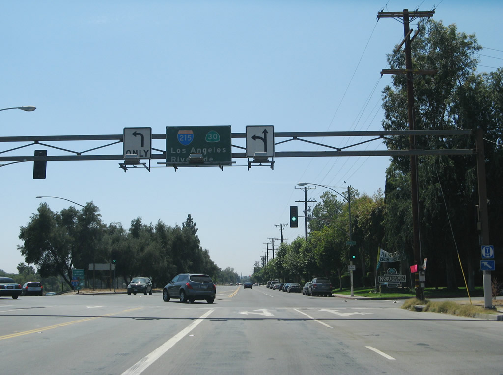
Southbound California 18/Waterman Avenue approaches the junction with California 210 (Foothill Freeway). Turn right on 30th Street to California 210 (former California 30) west to Interstate 215. The second left connects to California 210 east to Redlands.
07/15/07
A pair of lane allocation shields is posted overhead at the 30th Street and California 210 west intersection.
07/15/07
Southbound California 18/Waterman Avenue meets California 210 east to Redlands (at the time this photo was taken, California 210 was still signed as California 30). This marks the southern terminus of California 18, although no end shields are present here.
07/15/07
Westbound 30th Street approaches California 18/Waterman Avenue. Turn left for Waterman Avenue south or right for California 18/Waterman Avenue north. A slip ramp here also connects to California 210 (Foothill Freeway) west to Interstate 215 (the sign shows California 30, which has since been renumbered as California 210).
05/02/02
This California 18 trailblazer is located in San Bernardino along eastbound 40th Street at Waterman Avenue.
07/15/07
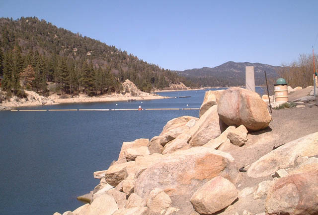
This view of Big Bear Lake is afforded from a pull-out next to the dam along California 18.
05/02/02
Views of the Big Bear Lake dam and bridge as seen looking west along California 18. There was not much traffic, mostly because these pictures were taken during the spring, which is the transitional season between the winter skiing season and the summer boating season.
05/02/02
Begin eastbound California 18 Business in the city of Big Bear Lake. This overhead arch includes a unique wooden California 18 Business shield.
05/02/02
End Westbound California 18 Business in the city of Big Bear Lake. Heading straight ahead connects to Westbound (Southbound) California 18, and turning right on Paine Road leads to Eastbound/Northbound California 18.
05/02/02
A two-lane connector road links California 18 and California 247 via Old Woman Springs Road in Lucerne Valley. This view looks east along Old Woman Springs Road between California 18 and California 247 in Lucerne Valley.
06/27/09
Eastbound Old Woman Springs Road meets California 247 at a four-way stop in Lucerne Valley. Turn left for California 247/Barstow Road north to Barstow (34 miles) or proceed ahead for California 247/Old Woman Springs Road southeast to Landers, Yucca Valley, and California 62 (34 miles). Turn right here for Barstow Road south to California 18 south to Big Bear Lake (25 miles).
06/27/09
Photo Credits:
- Andy Field: 05/02/02, 04/18/04, 06/24/07, 07/15/07, 06/27/09
Connect with:
Page Updated Wednesday January 16, 2013.