
State Route 229
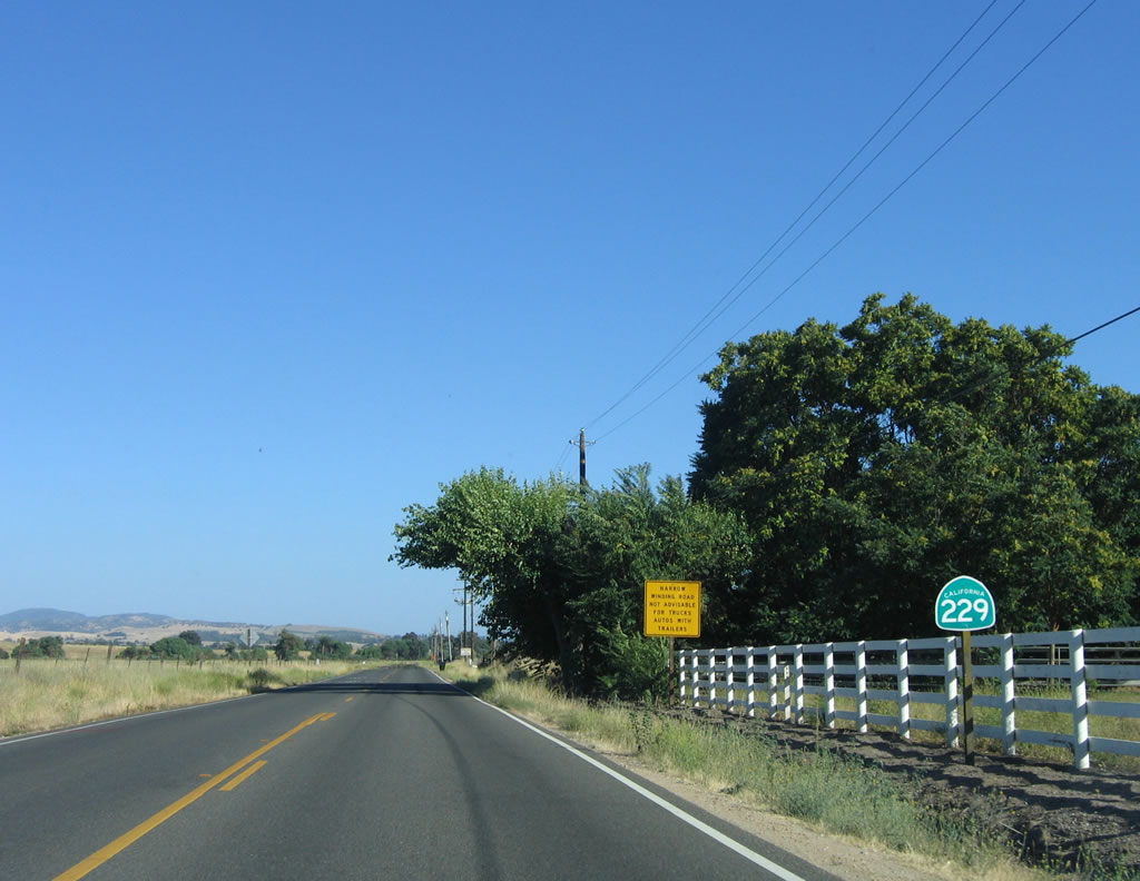
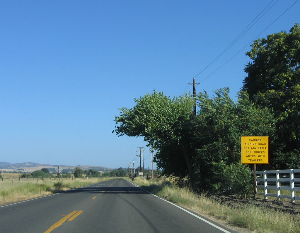
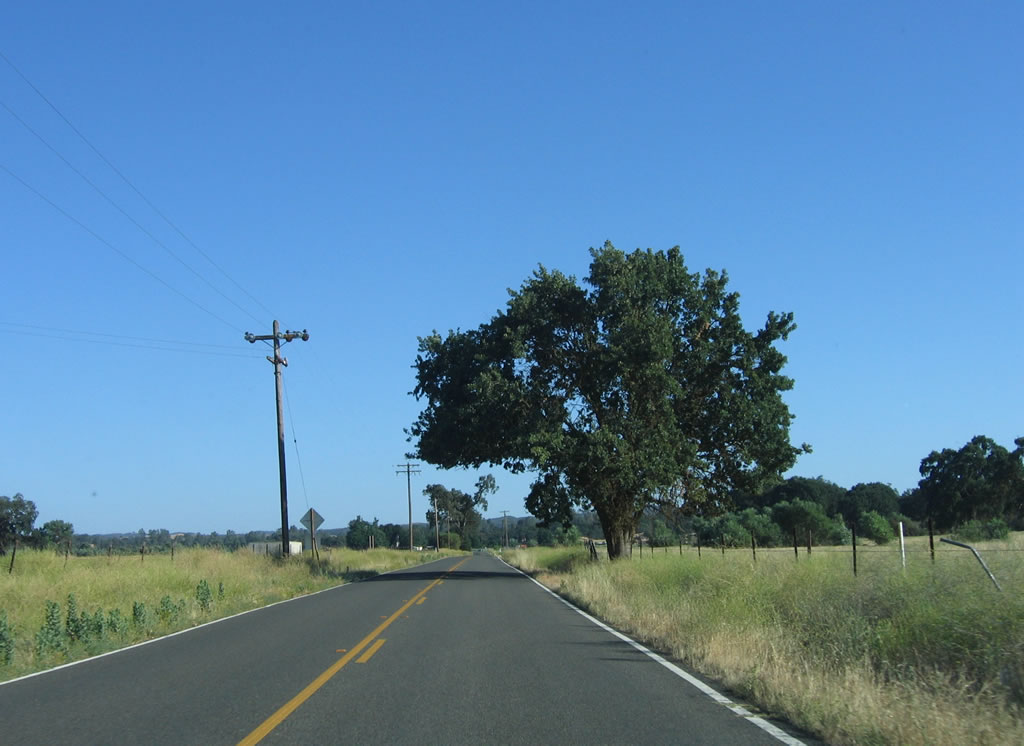
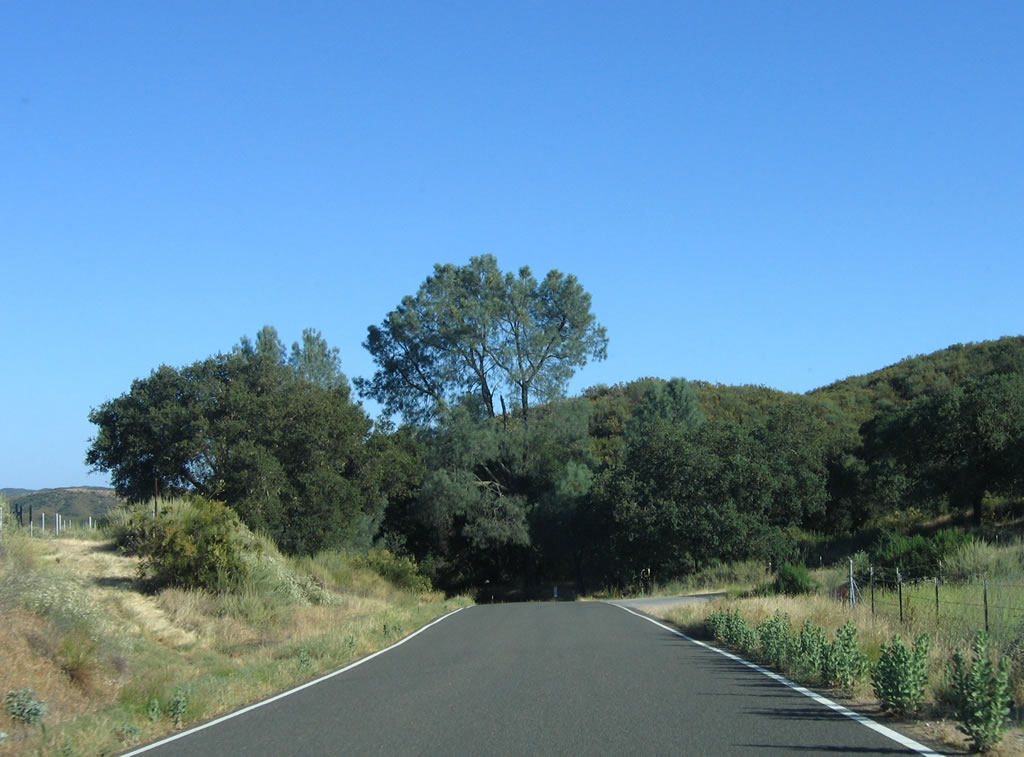
California 229 is a short, winding route that connects California 58 east of Santa Margarita with California 41 near Creston. The southern portion of this route is only one and a half lanes wide, so there is no center divide markings. The route is well-signed for most of its length, especially the two-lane section nearest California 41.
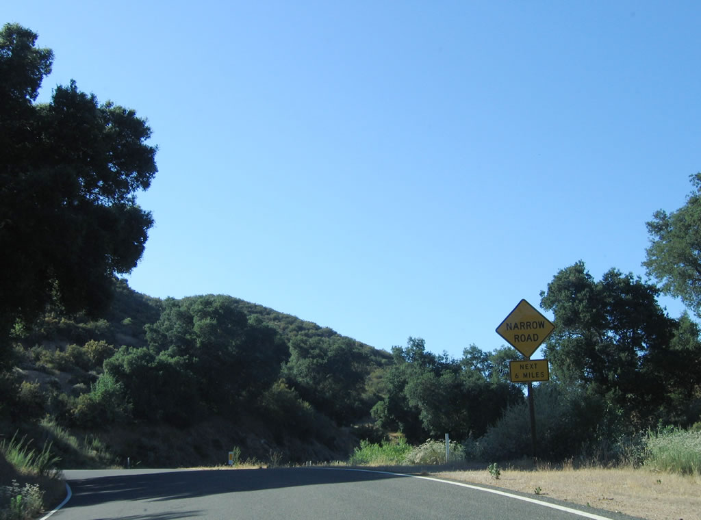
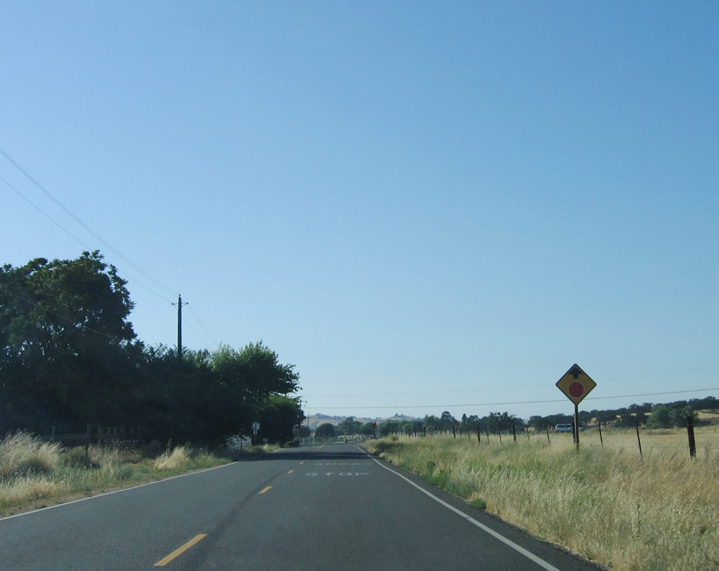
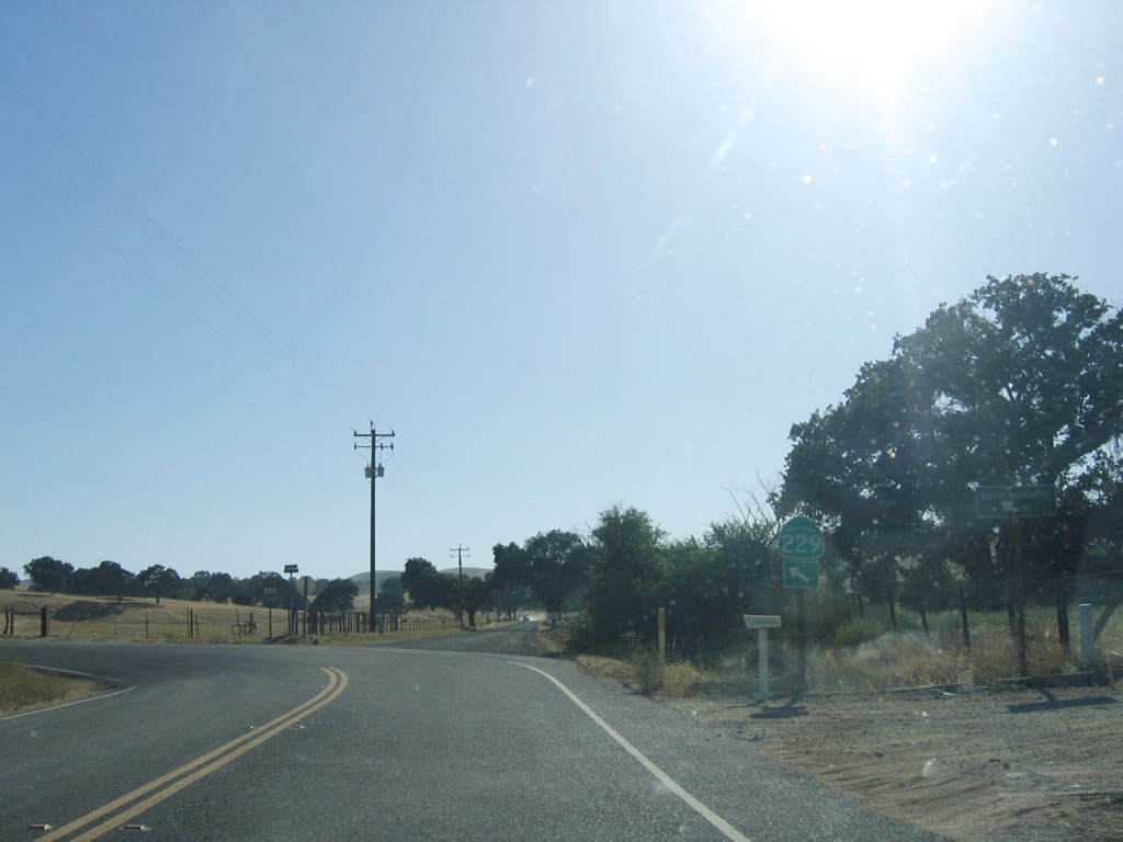
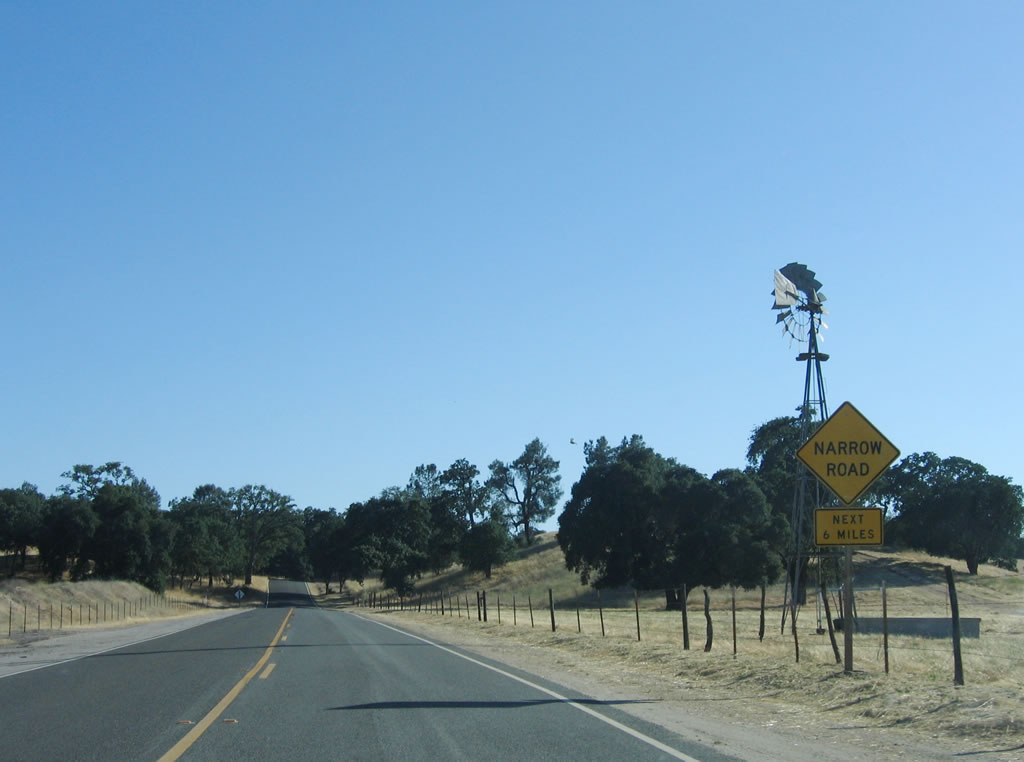
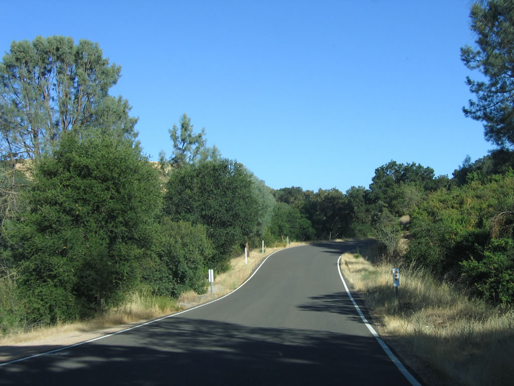
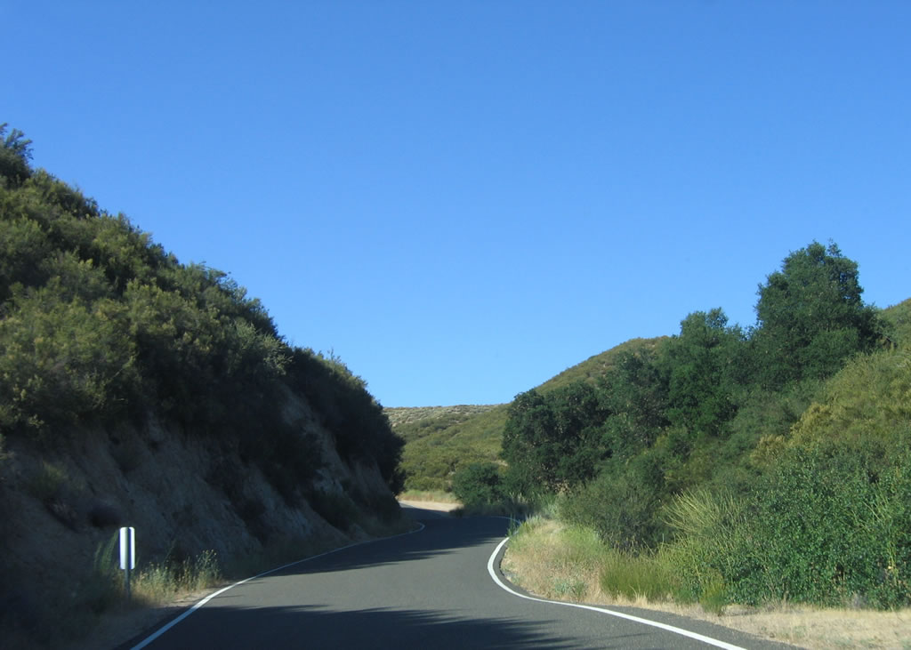
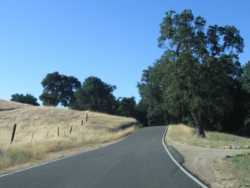
Northbound California 229 sees a one-and-a-half lane configuration: There is no center yellow painted line, and the white lines are painted at the edges of the pavement. A "Narrow Road Next 6 Miles" sign is posted shortly after California 229 north splits away from California 58 northeast of Santa Margarita in rural San Luis Obispo County.
07/05/06
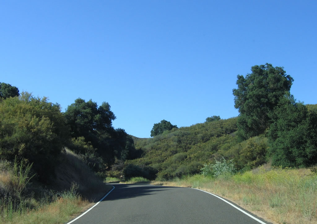
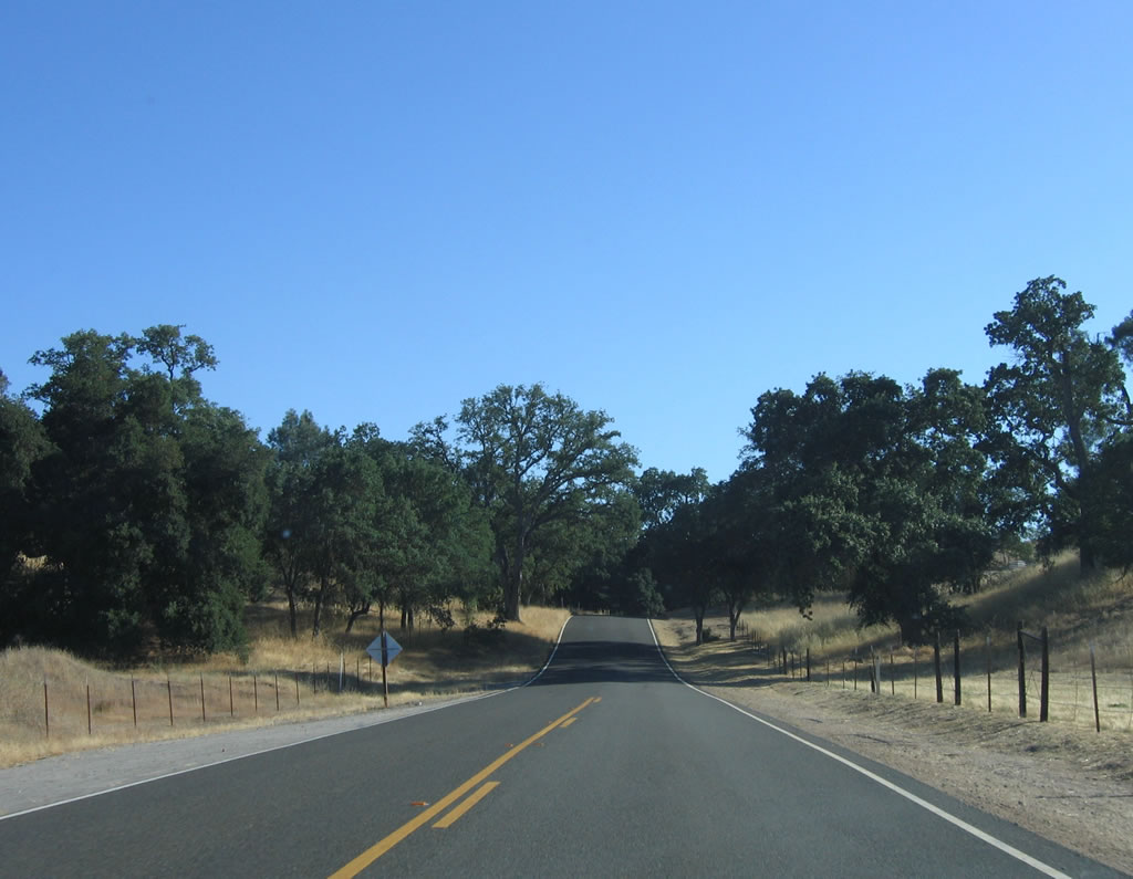
Along the initial six miles, California 229 has limited sight distance caused both by curves and by hilly terrain.
07/05/06
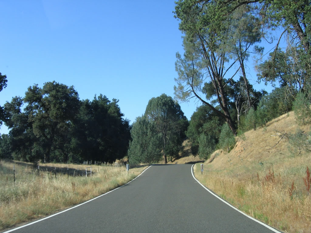
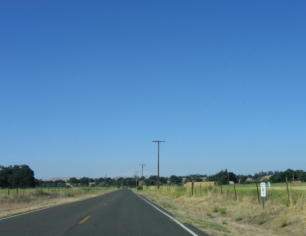
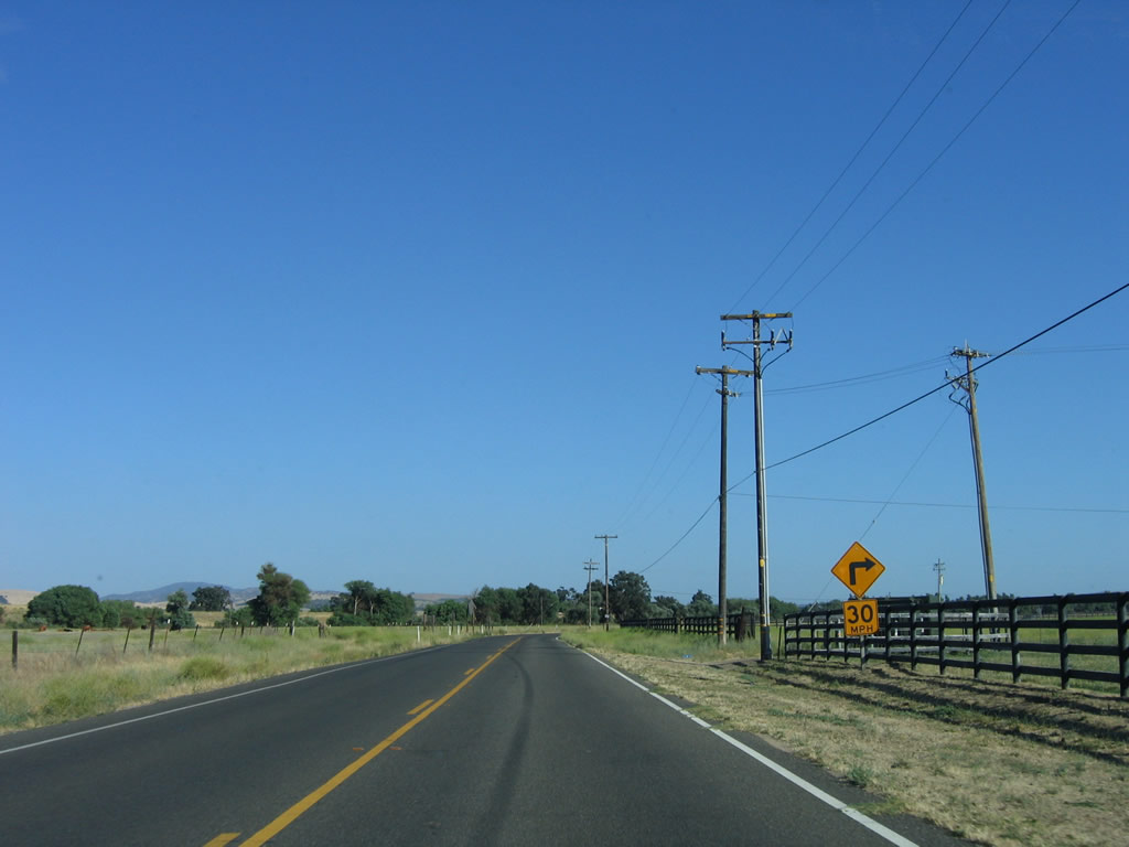
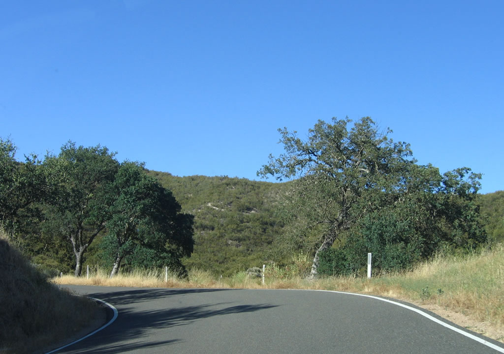
SR 229 passes Granite Ridge to the east ahead of post mile 3.00.
07/05/06
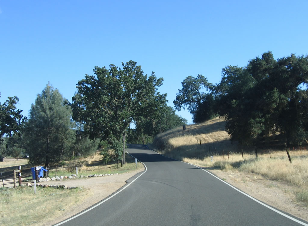
Continuing along northbound California 229, the next three miles are more of the same: narrow road, seemingly limitless live oaks and scrub, and undeveloped terrain.
07/05/06
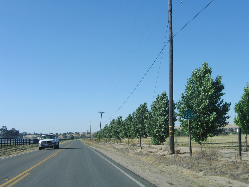
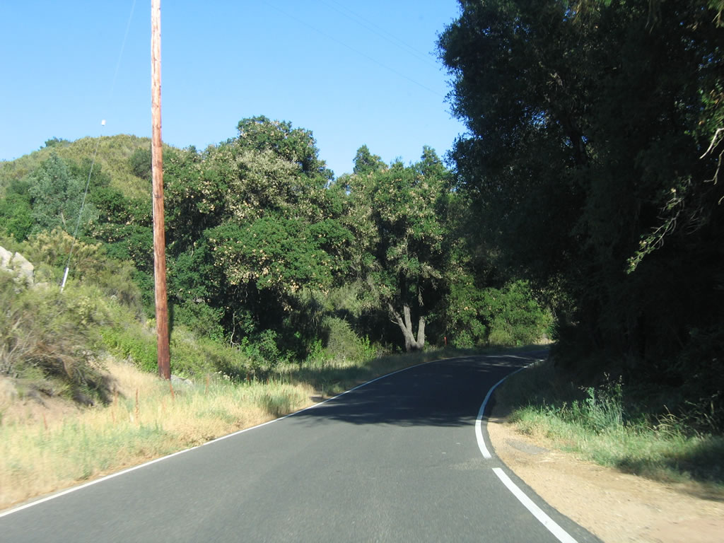
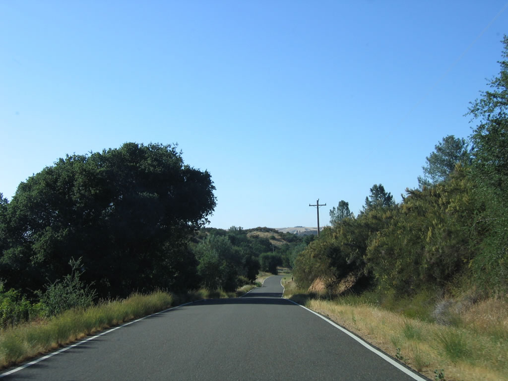
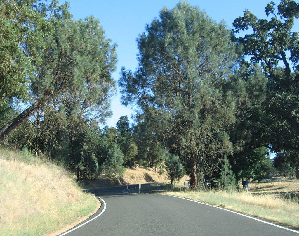
SR 229 finally expands from a one-and-a-half lane road to a full two lanes at post mile 5.50. SR 229 remains a conventional two-lane highway from this point near Rocky Canyon Road north to SR 41 intersection beyond Creston.
07/05/06
SR 229 (Webster Road) overtakes Rocky Canyon Road at this intersection. Paralleling the West Branch of Huerhuero Creek, the state route angles northeast on the ensuing stretch. What was the first reassurance shield for SR 229 posted here was removed by 2016.
07/05/06
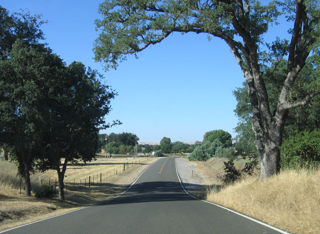
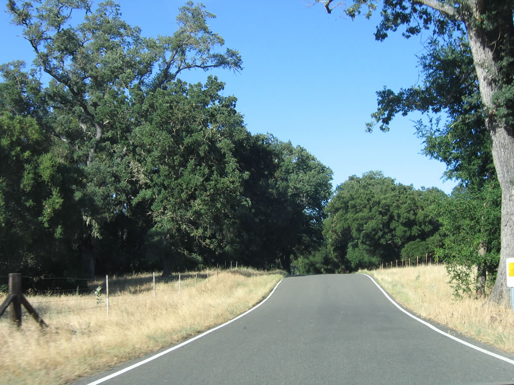
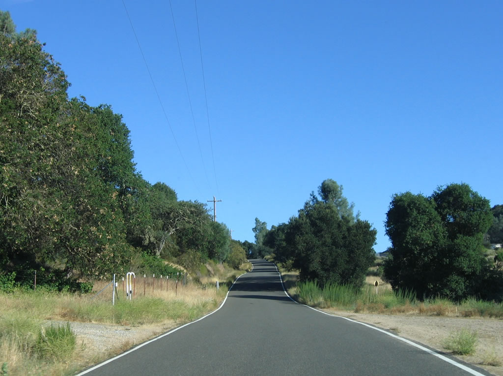
Straightening out, northbound California 229 follows ranches on both sides of Webster Road.
07/05/06
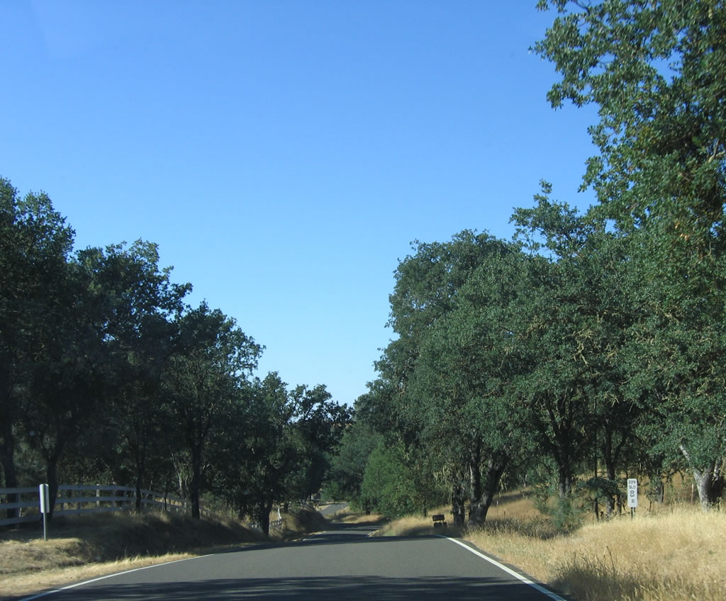
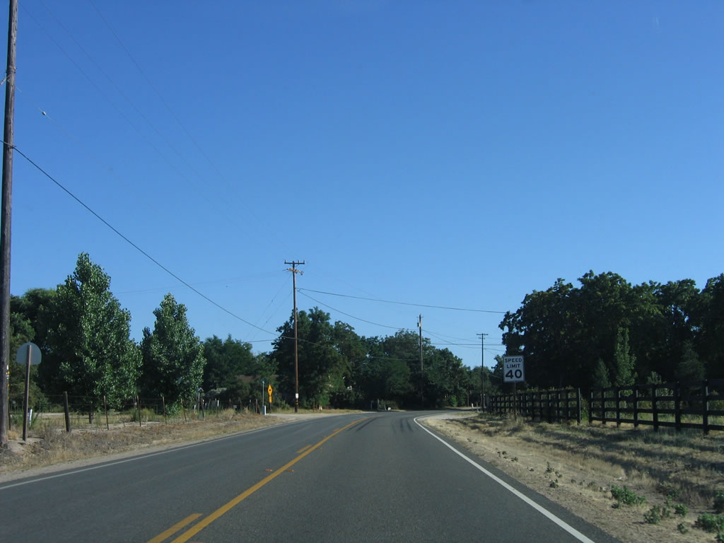
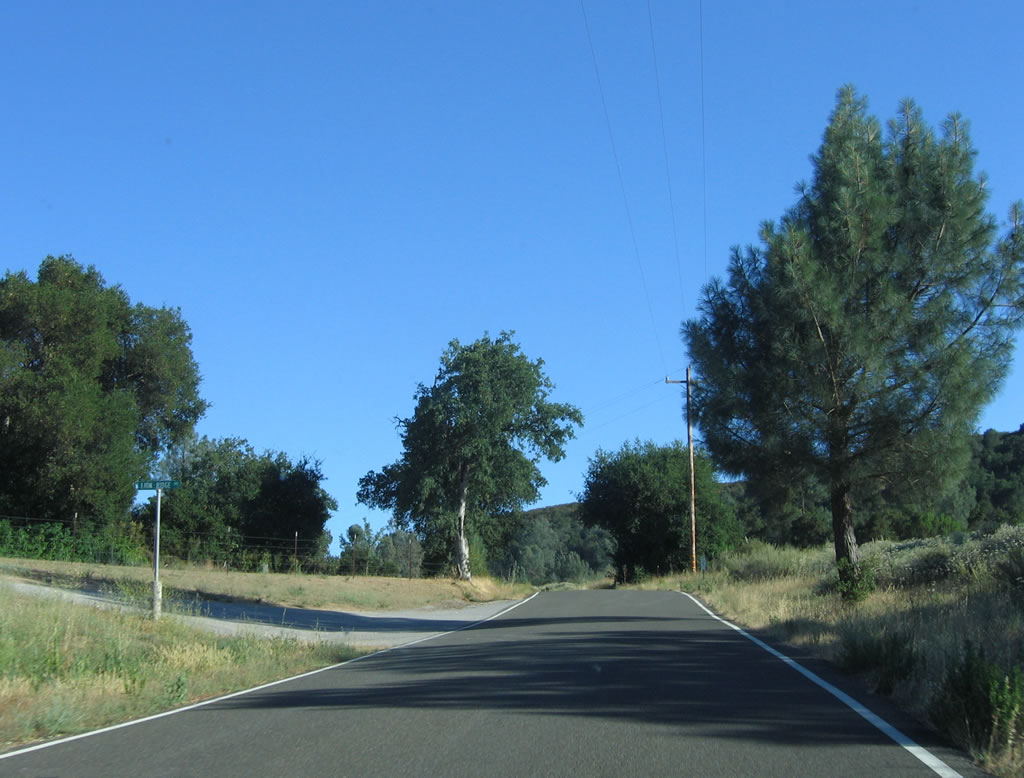
A 6.00 postmile is situated along the straight section of California 229. If not for the narrow section earlier, this would almost feel like a normal state highway for this part of the state.
07/05/06
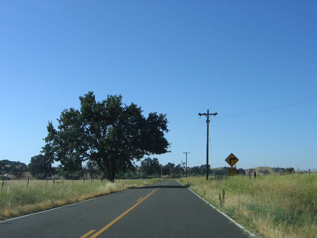
SR 229 (Webster Road) makes a sharp turn to the north at post mile 6.40.
07/05/06
Passing between the West and Middle Branches of Huerhuero Creek, SR 229 resumes a northeasterly heading from this sharp curve at post mile 7.00.
07/05/06
California 229 again travels north toward Creston.
07/05/06
Creston is another unincorporated community of San Luis Obispo County. Located at an elevation of 1,110 feet, the population decreased from 270 as of the 2000 Census to 98 as of the 2020 Census.
07/05/06
O'Donovan Road intersects SR 229 (Webster Road) in the Creston business district. O'Donovan Road travels southeast to SR 58.
07/05/06
A reassurance marker for SR 229 stands along Webster Road north of Swayze Street and the community of Creston.
07/05/06
SR 229 makes a final sharp turn to the northwest ahead of SR 41 (Creston-Eureka Road).
07/05/06
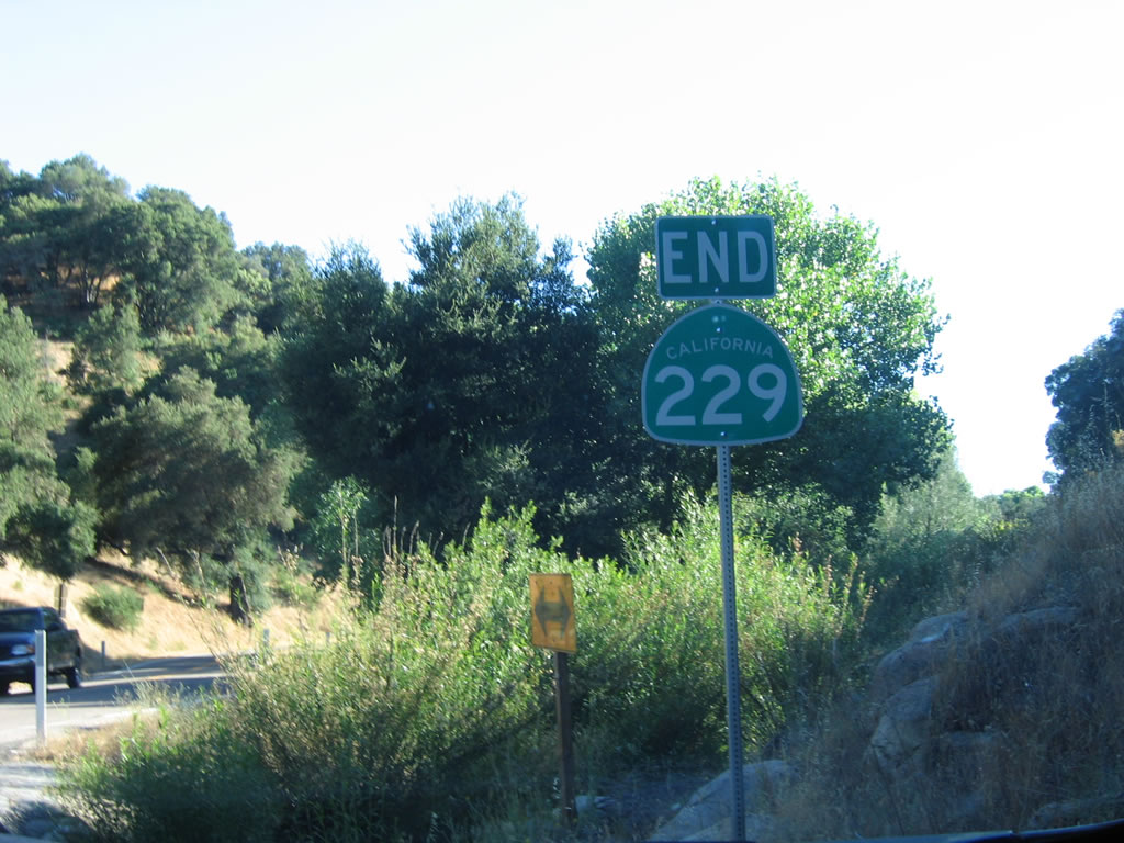
SR 229 north concludes at a stop with with SR 41 (Creston-Eureka Road). SR 41 is unmarked along Webster Road.
07/05/06
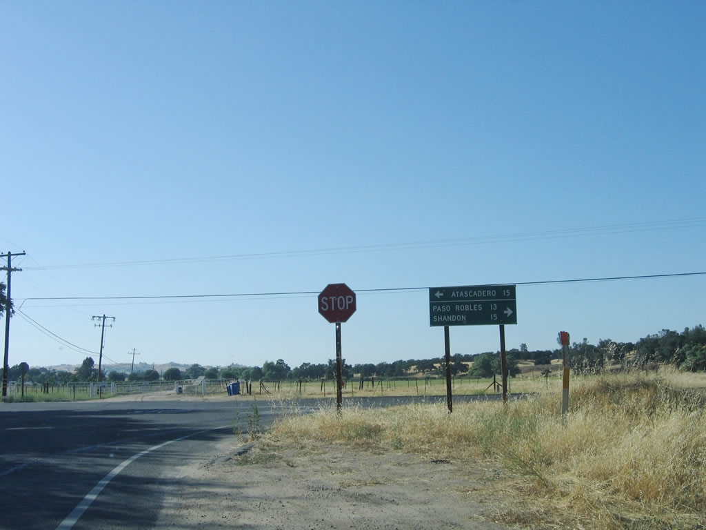
There is no end shield assembly for SR 229 at SR 41. SR 41 west heads 15 miles to Atascadero and 15 miles east to Shandon. Through a connection with Geneseo Road, traffic can take a short cut to Paso Robles, which is 13 miles northwest of here. However, access to Geneseo Road is achieved via SR 41 east, then a left turn onto Geneseo Road north.
07/05/06
Posted south of SR 41 (Creston-Eureka Road), the first shield for State Route 229 was removed by 2012.
07/05/06
Southbound California 229 is fairly straight until south of Creston, but it is winding with only one and a half lanes for the final six miles before meeting California 58.
07/05/06
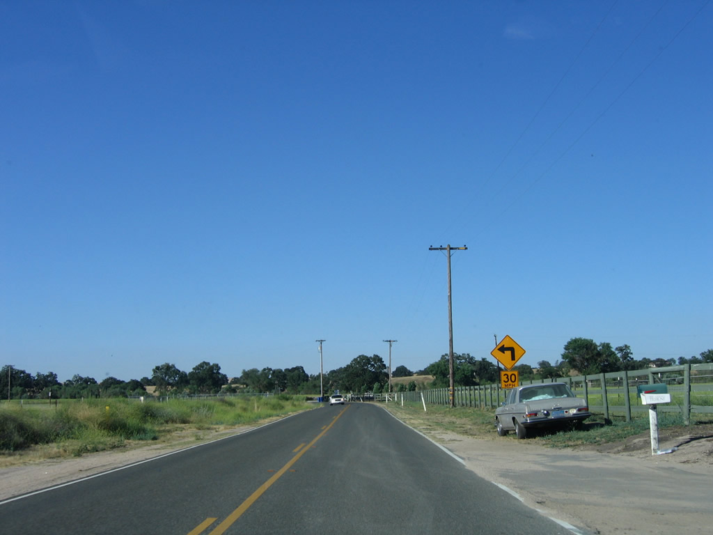
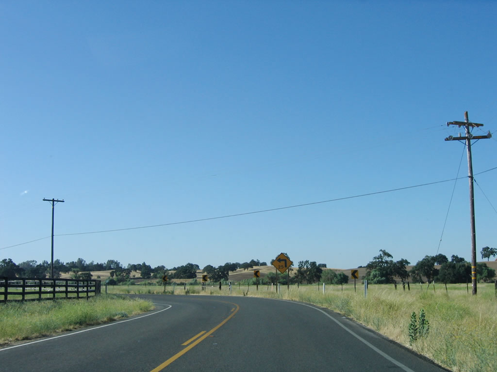
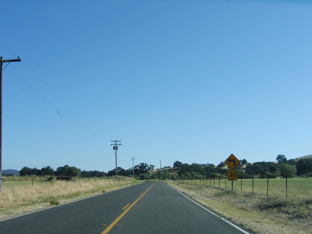
The first of many sharp turns on southbound SR 229 is this 30 miles per hour curve preceding Iron Gate Road.
07/05/06
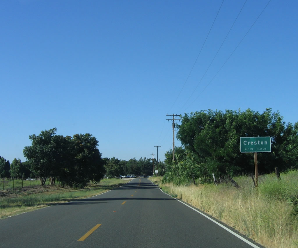
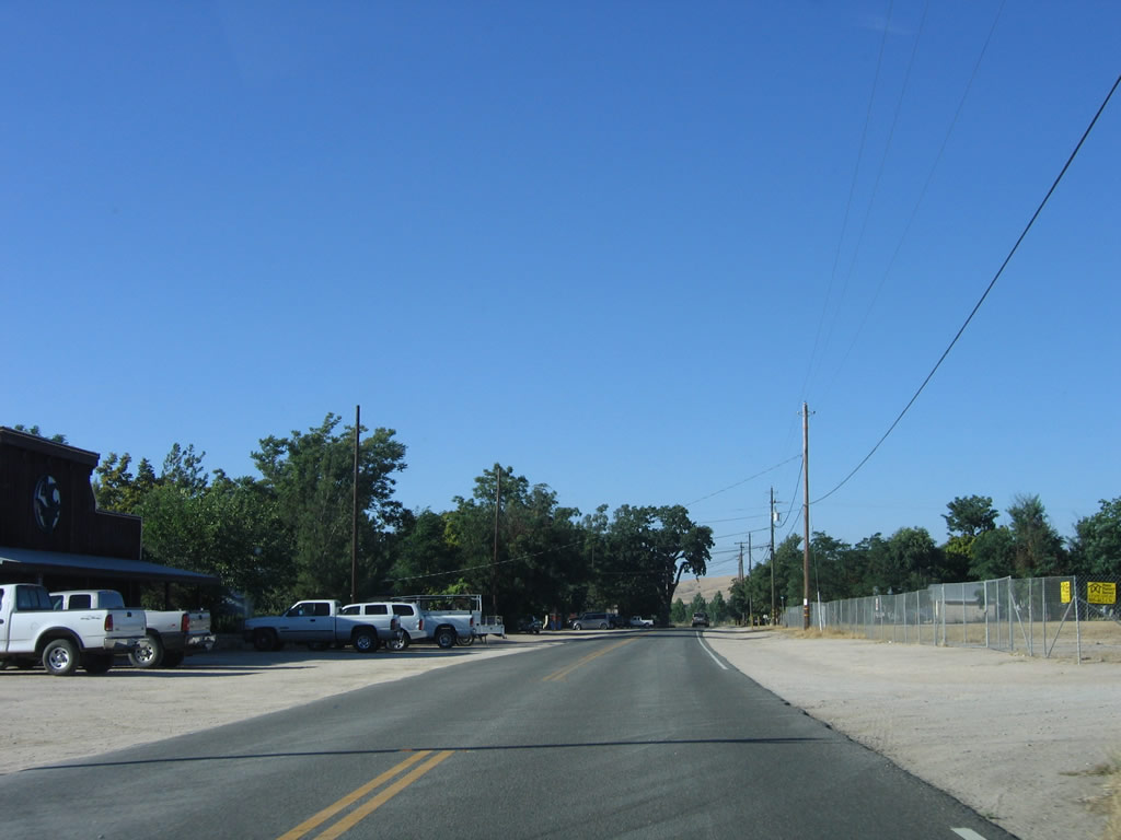
Southbound California 229 enters the unincorporated community of Creston, which is home to 98 people and sits at an elevation of 1,110 feet. No motorist services are available in Creston.
07/05/06
The large oak tree behind the 8.00 post mile for SR 229 south in Creston was removed after 2023. O'Donovan Road ties into SR 229 nearby as an alternate route south to SR 58 east to California Valley and Carrizo Plain National Monument.
07/05/06
A sharp left turn lies along southbound California 229 after leaving the community of Creston.
07/05/06
SR 229 (Webster Road) advances south by ranchland between the West and Middle Branches of Huerhuero Creek.
07/05/06
SR 229 (Webster Road) turns southwest at the intersection with Rocky Canyon Road. The trailblazer for SR 229 marking the turn was removed by 2012.
07/05/06
The roadway for SR 229 reduces to a one-and-a-half lane configuration just south of Rocky Canyon Road.
07/05/06
The remaining 5.50 miles of SR 229 south is narrow without centerline striping.
07/05/06
The narrow route of SR 229 to the east of Granite Ridge is populated by numerous S-curves and limited sight distance.
07/05/06
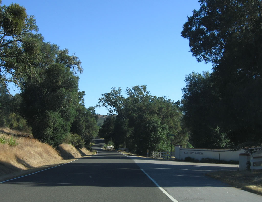
SR 229 (Webster Road) south at Dapple Gray Lane, the entrance to Blue Sky Ranch, beyond post mile 3.00.
07/05/06
Lion Ridge Road spurs northeast froM SR 229 near post mile 2.10.
07/05/06
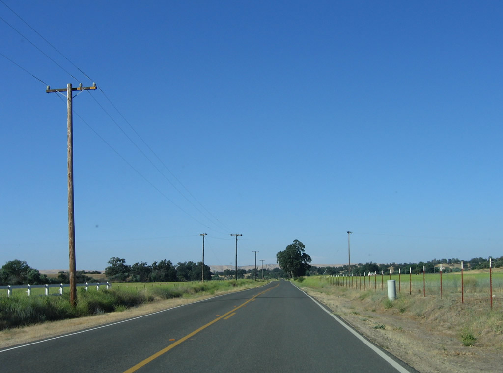
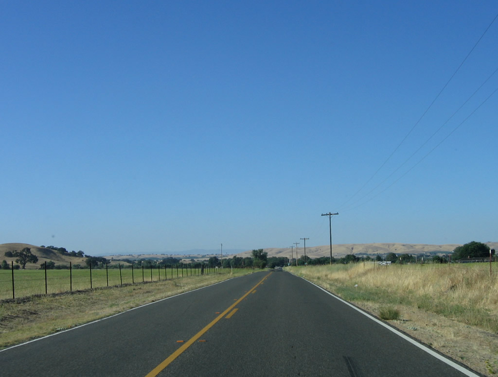
The final two miles of SR 229 south drop from 1,492 feet above sea level to 1,221 feet at SR 58 and Calf Canyon.
07/05/06
Forthcoming SR 58 travels east over La Panza Range into California Valley, then crosses the Temblor Range into McKittrick in Kern County. West from SR 229, SR 58 heads to Santa Margarita, then ends at U.S. 101 (El Camino Real) at Exit 211.
07/05/06
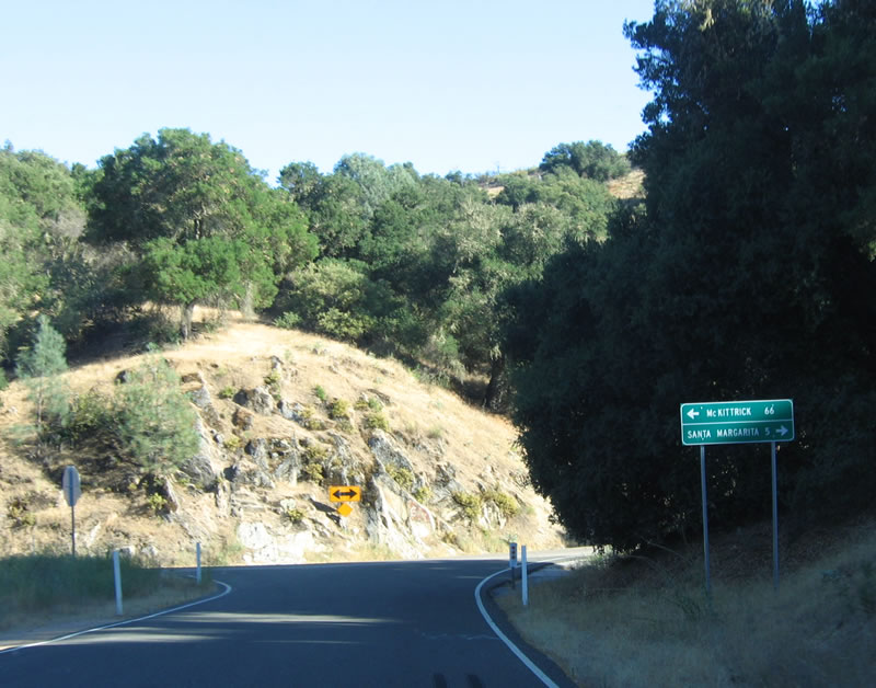
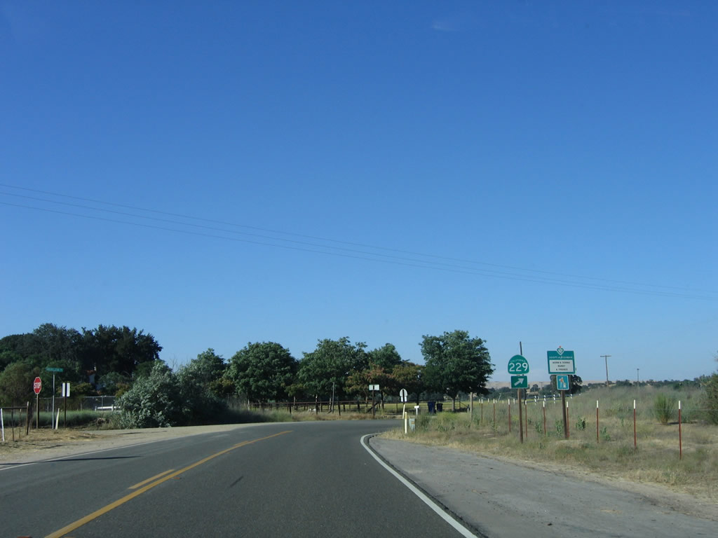
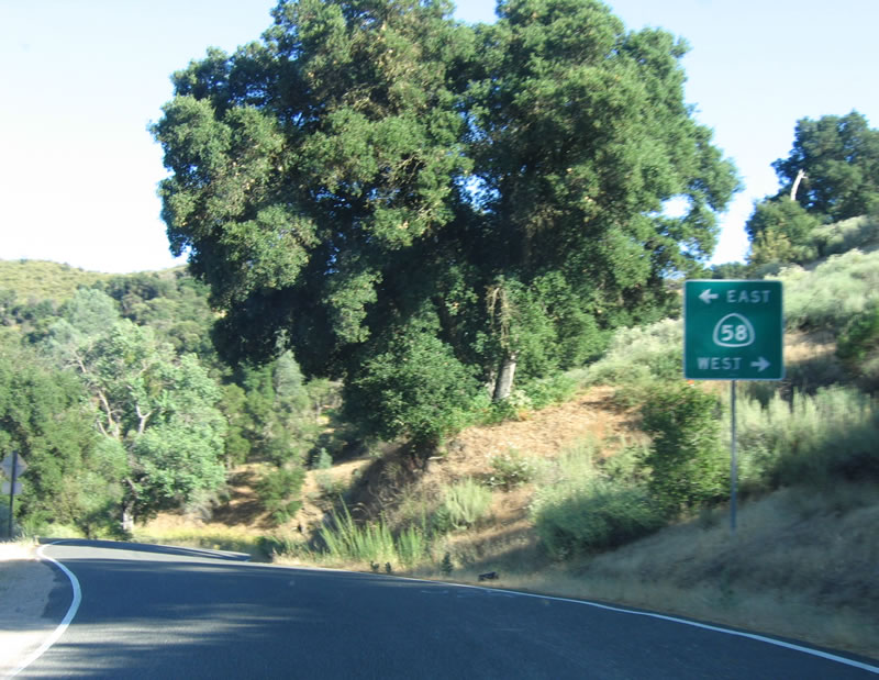
A mileage sign with the control cities of California 58 east (McKittrick - 66 miles) and west (Santa Margarita - three miles) is posted at the south end of California 229.
07/05/06
An end SR 229 shield assembly appears at SR 58 in Calf Canyon. Through traffic from southbound SR 229 to westbound SR 58 do not need to stop here.
07/05/06
Photo Credits:
- Andy Field: 07/05/06
Connect with:
Page Updated Sunday October 21, 2007.