
State Route 41
California 41 is a north-south state route that starts at California 1 in Morro Bay, travels east to U.S. 101 in Atascadero, then proceeds northeast through the Central Valley toward Fresno. The highway changes into a freeway as it passes through Fresno, then culminates its route at the southern entrance to one of the crown jewels of the National Park System, Yosemite National Park.
California State Route 41 Guides
East - Morro Bay to Atascadero - 40 photos
North - Kettleman City to Lemoore - 79 photos
North - Fresno - 67 photos
North - Fresno to Yosemite - 52 photos
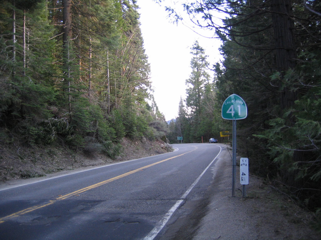
Leaving Yosemite National Park, southbound California 41 sees its first shield where Caltrans takes over maintenance from the National Park Service.
05/13/05
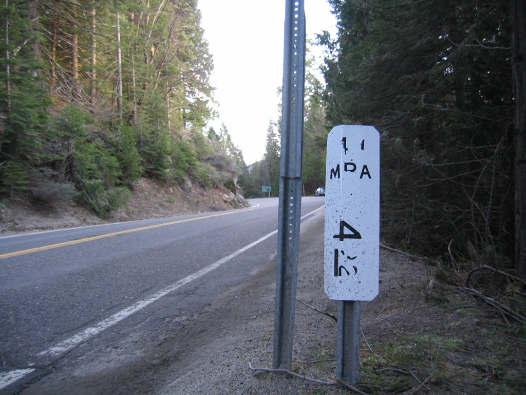
Next to the first reassurance shield for California 41 south is this postmile marker for 4.92 miles in Mariposa County.
05/13/05
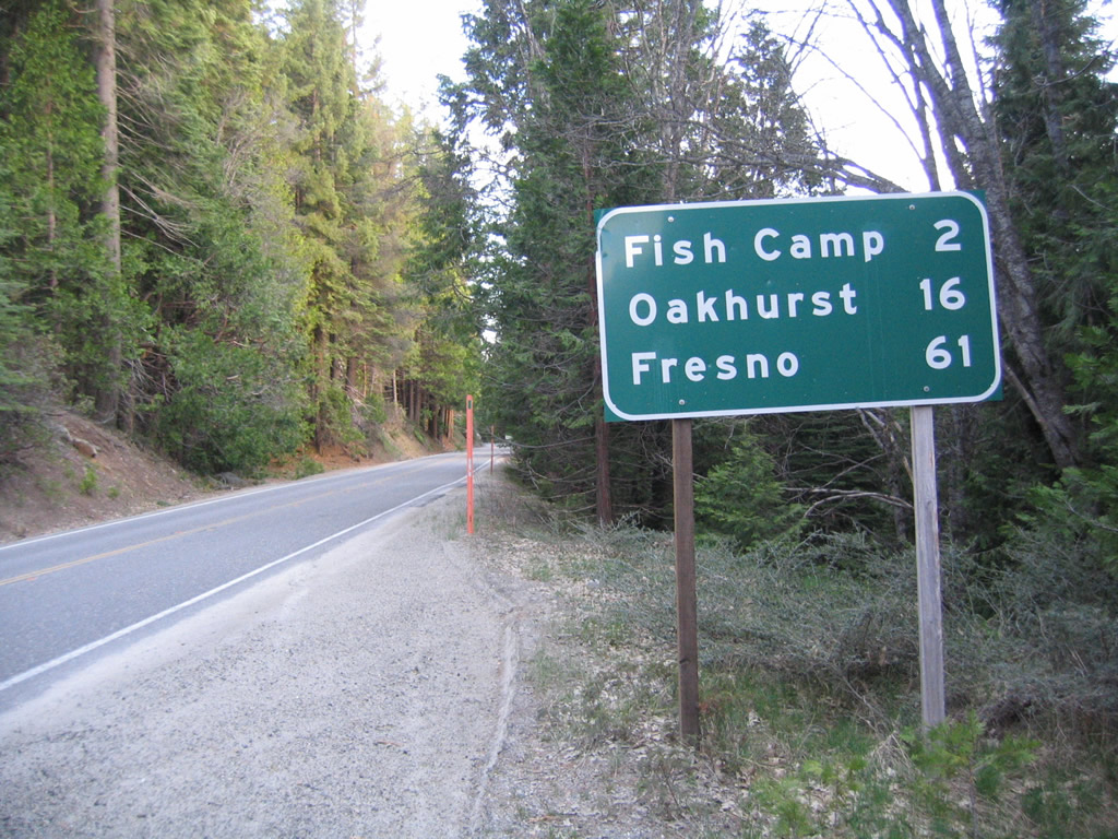
A mileage sign near a turnout provides the distance to Fish Camp (two miles), Oakhurst (16 miles), and Fresno (61 miles).
05/13/05
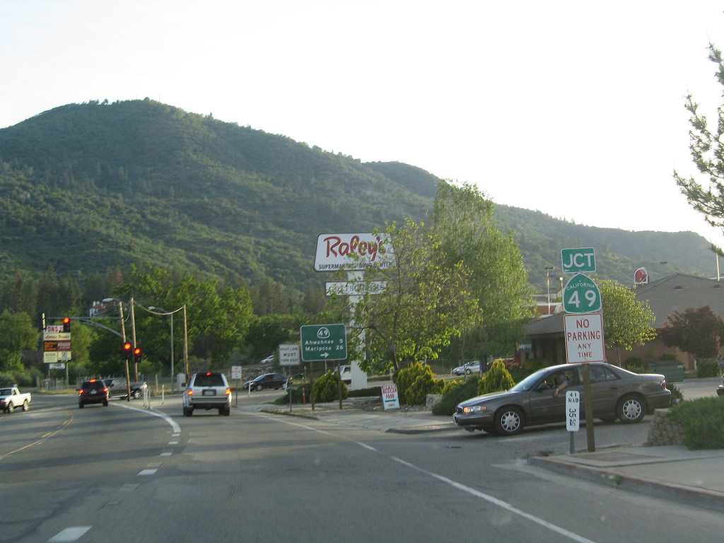
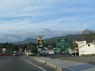
Southbound California 41 approaches California 49 in downtown Oakhurst. Use California 49 northwest to Ahwahnee and Mariposa. This intersection serves as the southern terminus of this storied state route.
05/13/05
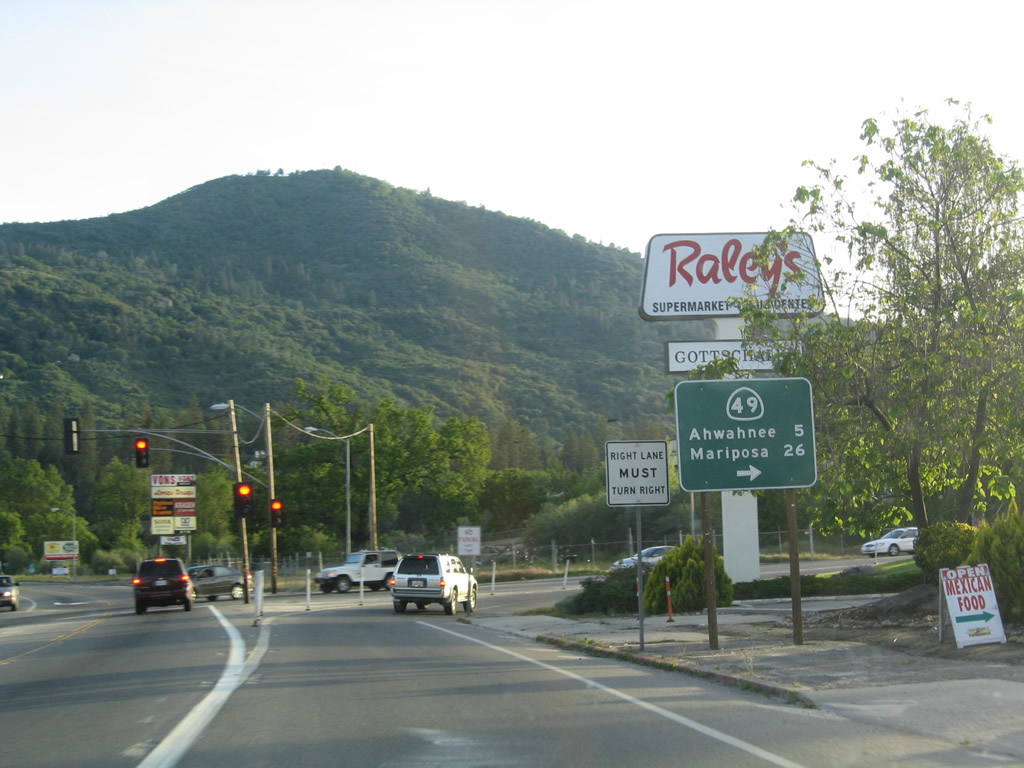
California 49 travels through the foothills of the Sierra Nevada from Oakhurst northwest to Mariposa, Coulterville, Sonora, Angels Camp, Jackson, San Andreas, Placerville, and Auburn. Each of these communities have their connection with the Gold Rush of 1848-1849, and California 49 links them all together.
05/13/05
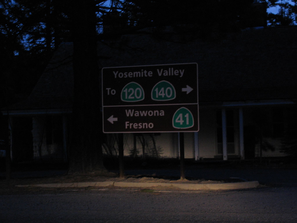
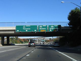
Within Yosemite National Park at the south end of Glacier Point Road where it intersects Wawona Road (in Chinqualpin Junction), this sign (placed by the National Park Service) provides directions to Wawona Road south to California 41 south to Fresno or Wawona Road north to Yosemite Valley, California 120/Big Oak Road, and California 140/El Portal Road.
05/13/05
Photo Credits:
- Andy Field: 05/13/05
Connect with:
Page Updated Wednesday November 30, 2011.