
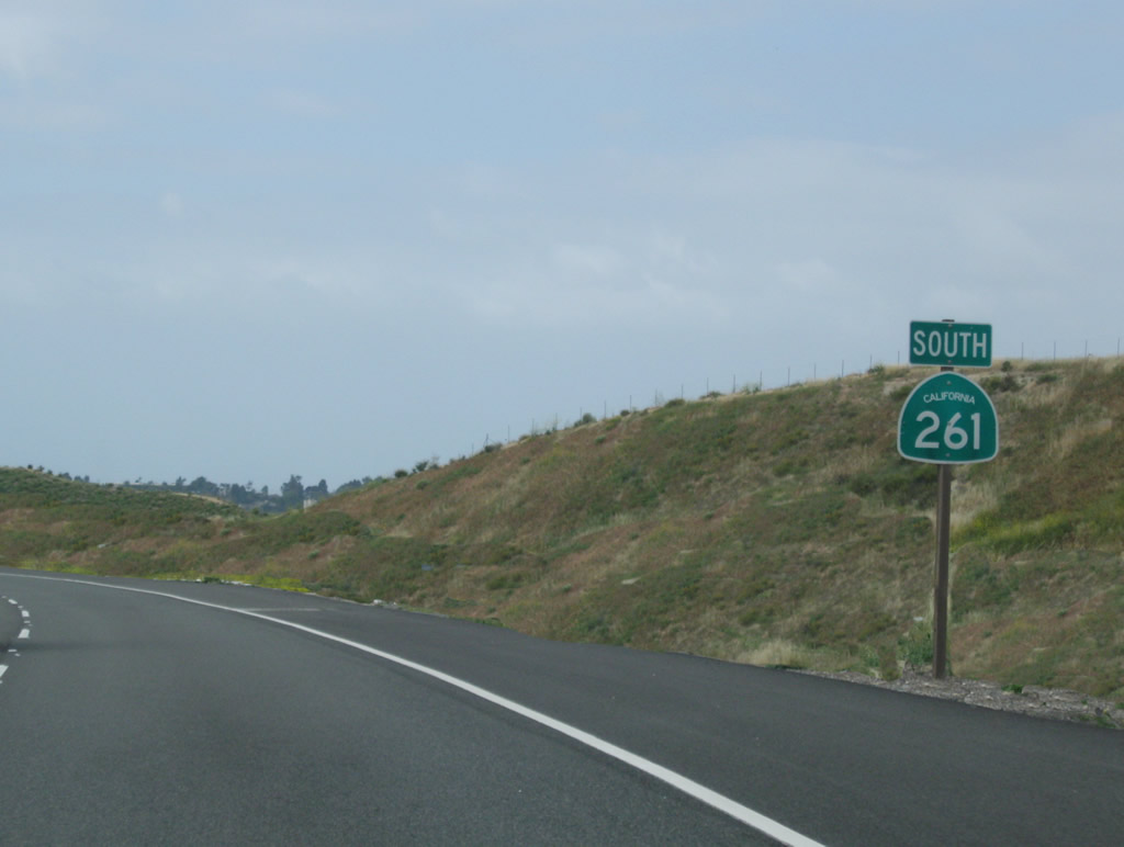
State Route 261
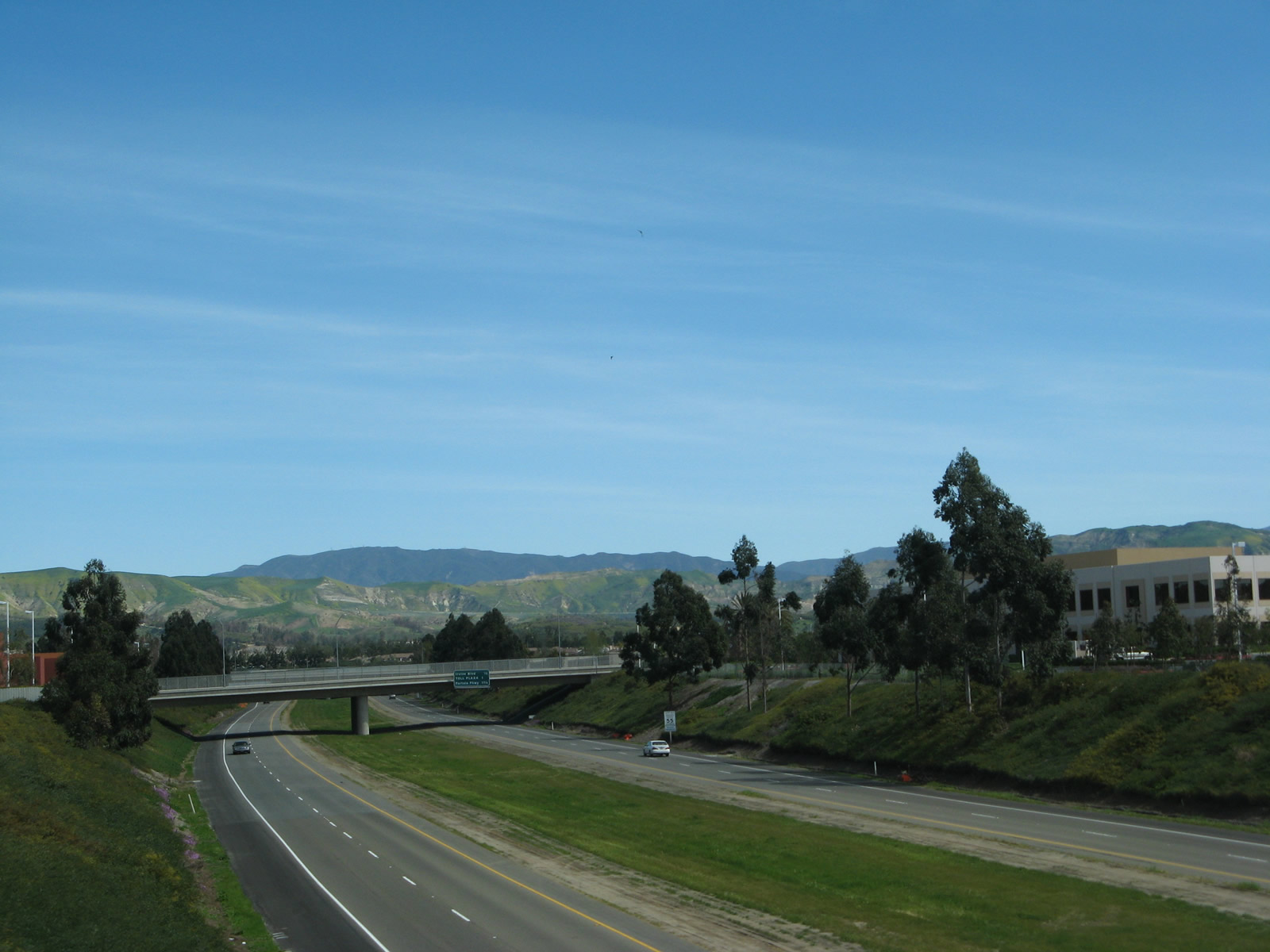
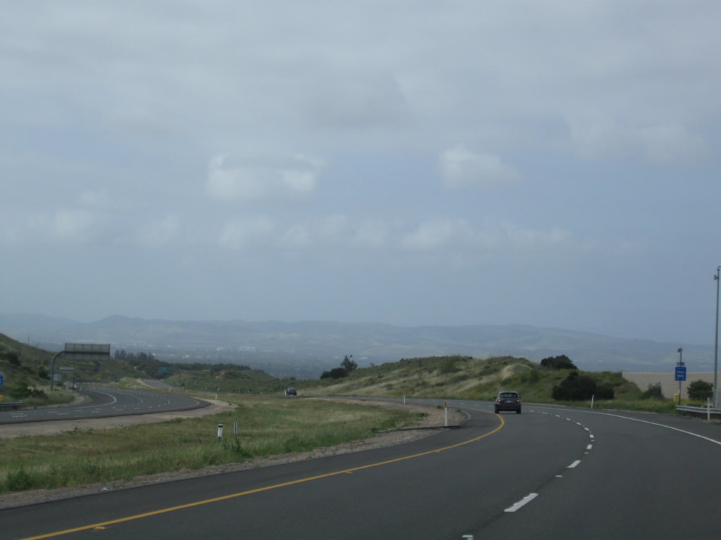
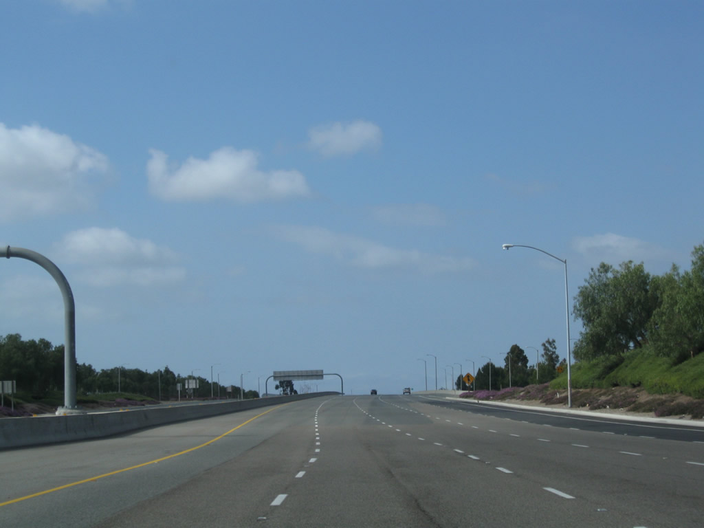
Looking at the State Route 261 toll road east of Interstate 5 in Irvine toward Loma Ridge. - 03/09/2008
California 261 is a toll road that connects the cities of Irvine and Santa Ana with California 241, which is known as the Foothill Transportation Corridor south of California 133 and as the Eastern Transportation Corridor north of California 133. There is no direct connection from California 261 to Interstate 5; the tollway is primarily designed to provide access from new residential development in the foothills with job centers in the cities of Irvine and Tustin.
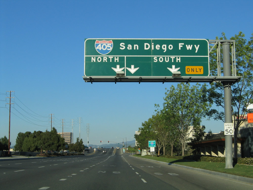
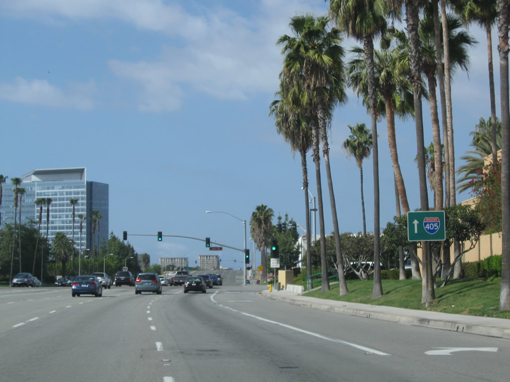
Northbound Jamboree Road approaches Interstate 405 (San Diego Freeway) at the upcoming folded diamond interchange. The first ramp connects to Interstate 405 south to San Diego, while the second ramp links to Interstate 405 north to Long Beach.
01/30/05
Interstate 405 is a major northwest-southeast freeway that serves the cities of Irvine, Costa Mesa, Fountain Valley, and Westminster in Orange County.
01/30/05
Northbound Jamboree Road meets the off-ramp to Interstate 405 south to San Diego.
01/30/05
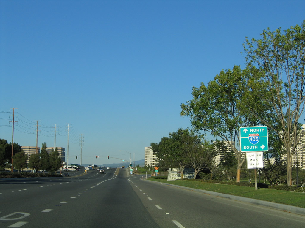
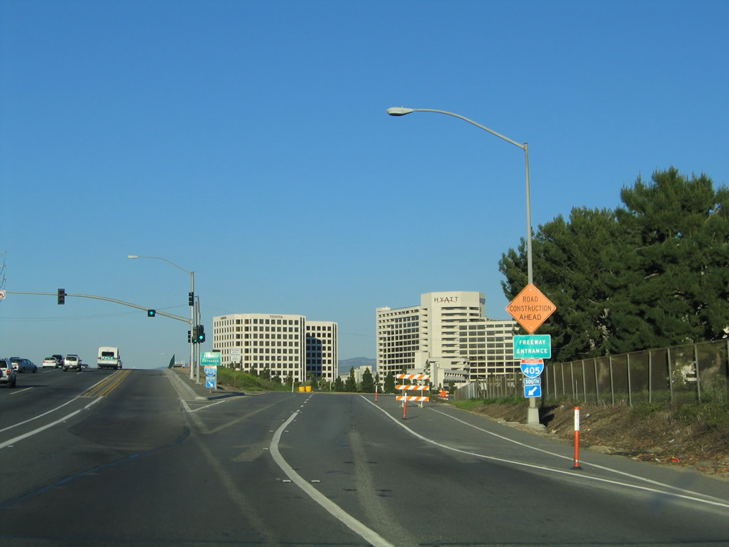
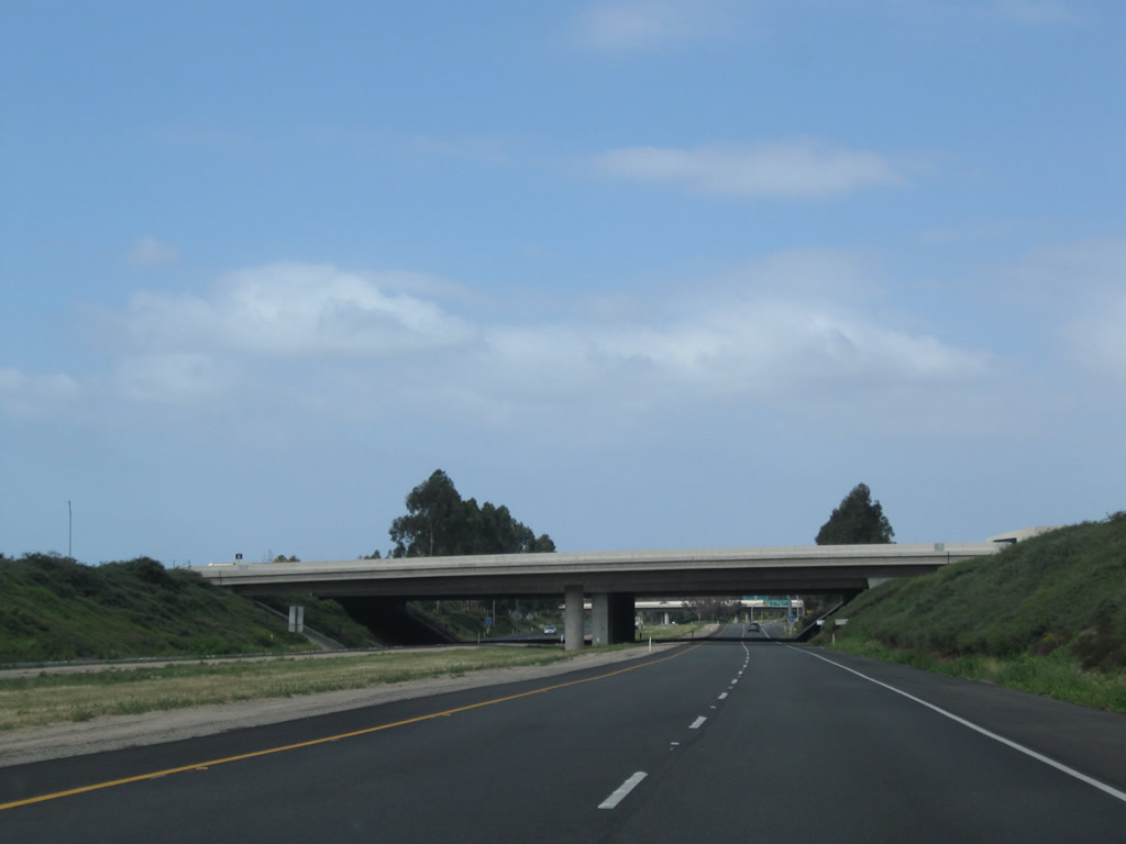
After passing over the busy Interstate 405 freeway, northbound Jamboree Road meets the loop ramp connecting to Interstate 405 northwest to Costa Mesa, Fountain Valley, Westminster, and Long Beach.
01/30/05
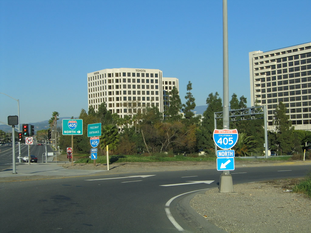
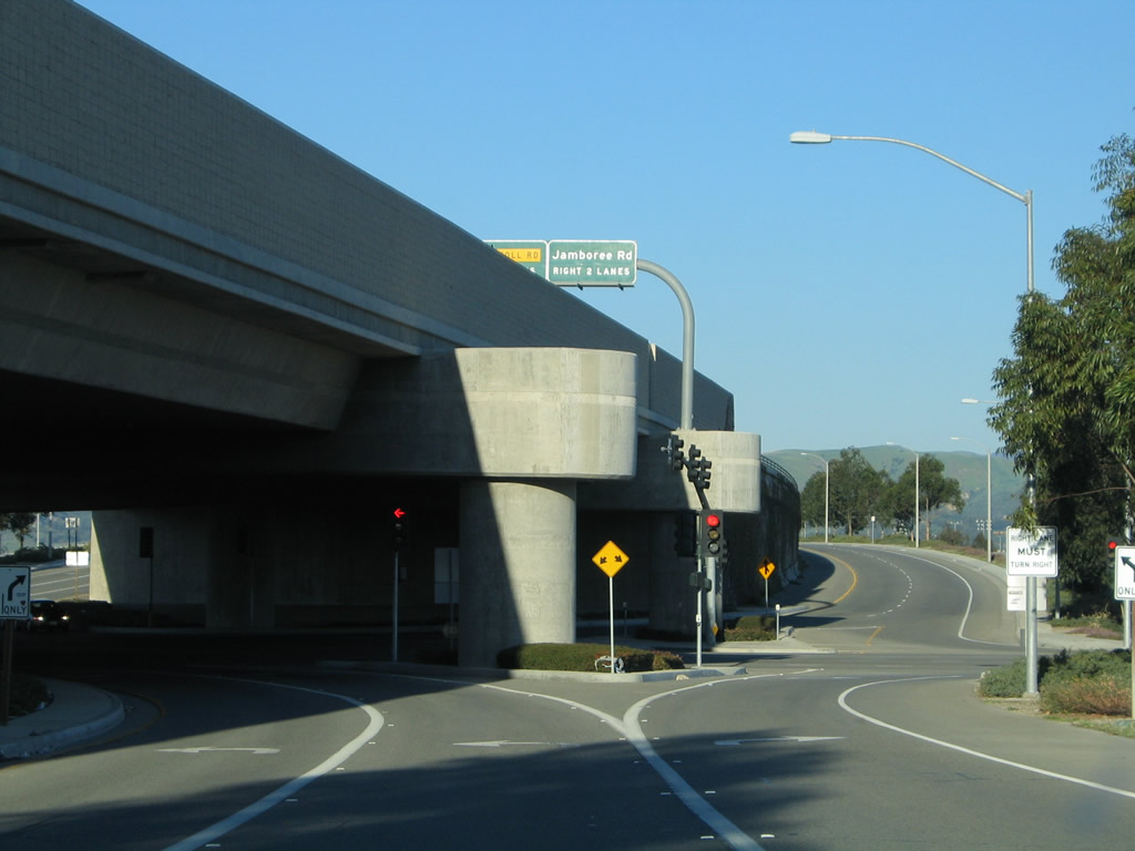
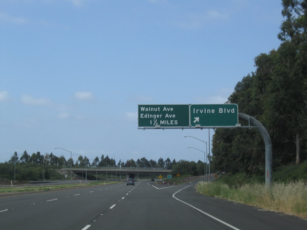
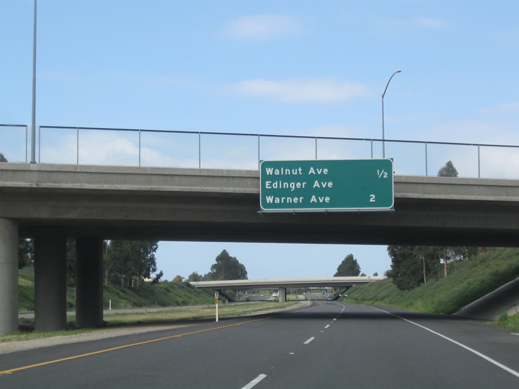
Northbound Jamboree Road transitions directly onto California 261 north in the city of Irvine. This mileage sign provides the distance to the next two exits on Jamboree Road (Edinger Avenue and Walnut Avenue) and the point where Jamboree Road connects directly with California 261 north.
01/30/05
Jamboree Road meets Edinger Avenue at this off-ramp. Continue ahead to the next two exits: Walnut Avenue and the split between California 261 and Jamboree Road. None of these three exits (Edinger Avenue, Walnut Avenue, and California 261/Jamboree Road) split have exit numbers.
01/30/05
Upon exiting, the off-ramp from northbound Jamboree Road splits for Edinger Avenue west or east . This is a single-point urban interchange.
01/30/05
California 261 is the Eastern Transportation Corridor spur that leads south from California 241 into southern Tustin and northern Irvine. This view looks south along California 261 immediately after the split from California 241 near Irvine Lake (Santiago Reservoir).
05/02/10
California 261 passes under Santiago Canyon Road (Orange County S-18). There is no access from California 261 to Santiago Canyon Road or Chapman Avenue on the assumption that traffic from California 241 south would have used Exit 33 on that toll road.
05/02/10
The first California 261 south reassurance shield is posted after the on-ramp from Santiago Canyon Road.
05/02/10
This view looks southwest along California 261 toward Tustin and Irvine.
05/02/10
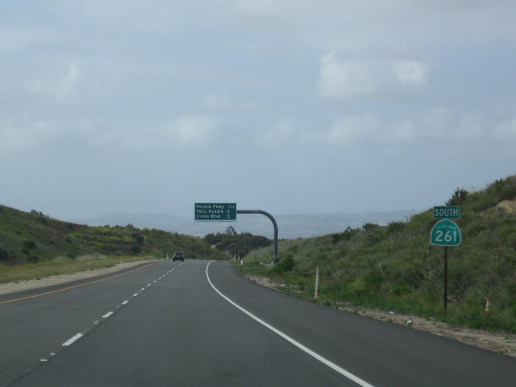
A second California 261 south reassurance shield is posted prior to the first exit from southbound: Exit 3, Portola Parkway.
05/02/10
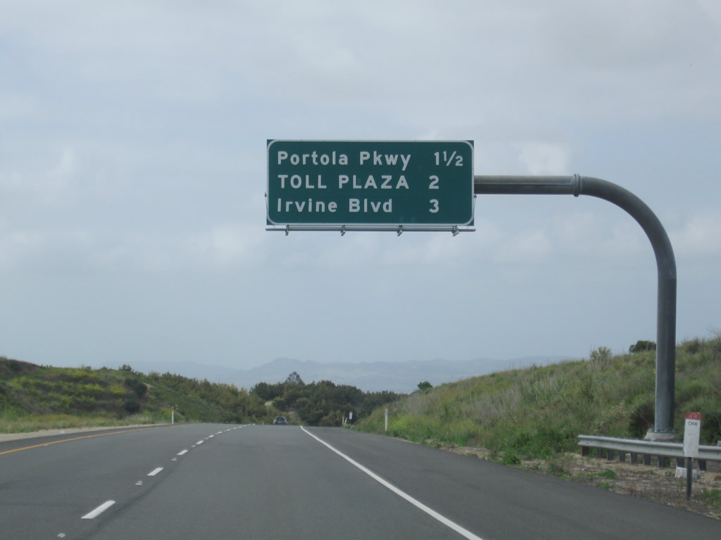
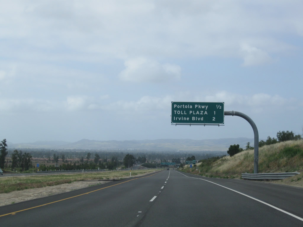
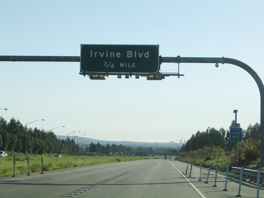
This mileage sign posted on California 261 south provides the distance to Exit 3, Portola Parkway; the Irvine Ranch Toll Plaza; and Exit 2, Irvine Boulevard.
05/02/10
The next three exits from California 261 south (Exit 3, Portola Parkway; Exit 2, Irvine Boulevard; and Exit 1, Walnut Avenue) all serve the cities of Tustin and Irvine. California 261 will straddle the limits between the two cities from here southwest to its end after passing under Interstate 5.
05/02/10
A second mileage sign on California 261 south again provides the distance to Exit 3, Portola Parkway; the Irvine Ranch Toll Plaza; and Exit 2, Irvine Boulevard.
05/02/10
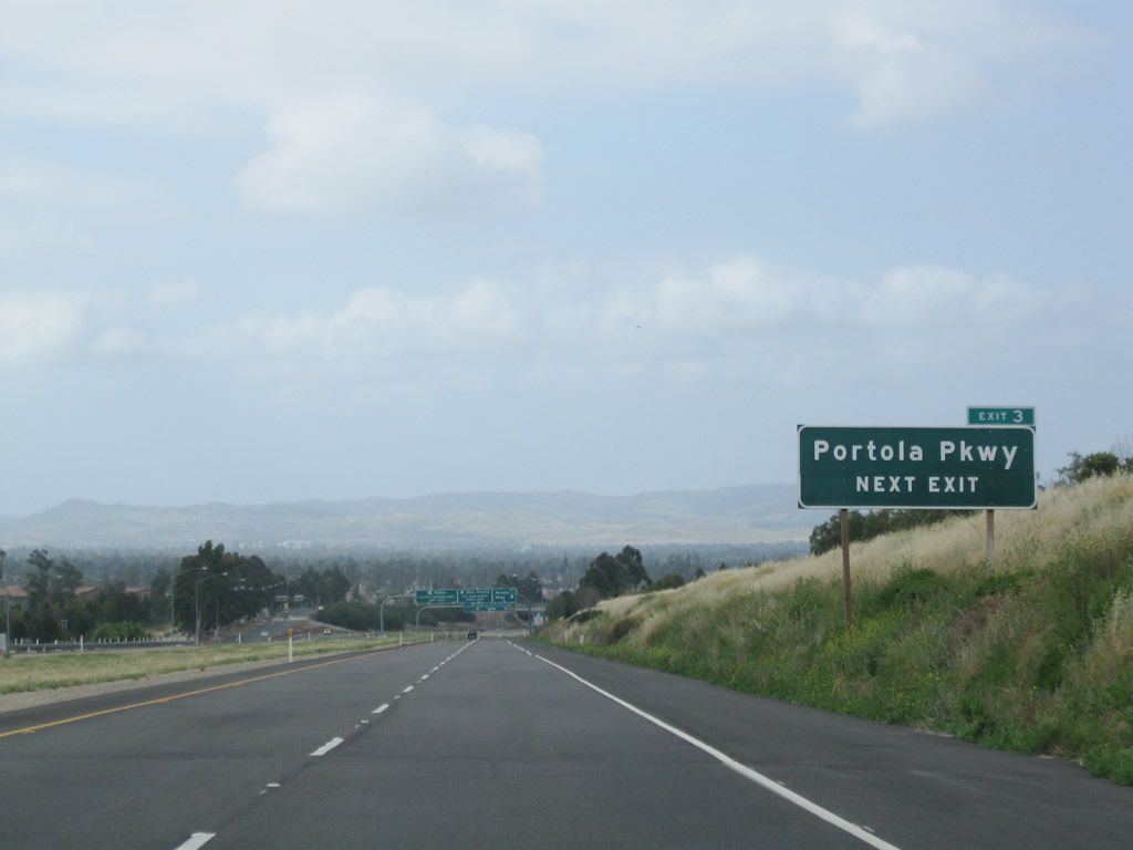
The first exit along California 261 south is Exit 3, Portola Parkway, which links the toll road to Irvine to the east and Tustin to the west.
05/02/10
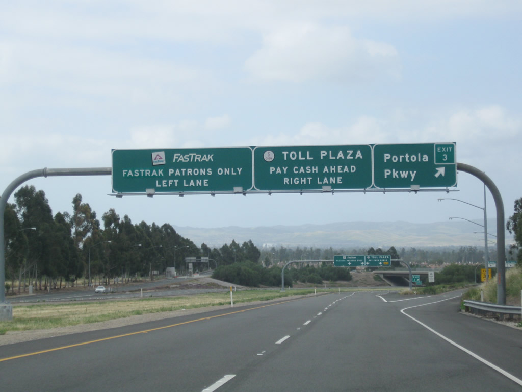
Southbound California 261 reaches Exit 3, Portola Parkway. Ahead, through traffic on California 261 approaches the Irvine Ranch Toll Plaza.
05/02/10
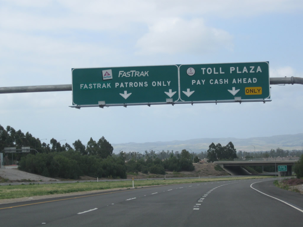
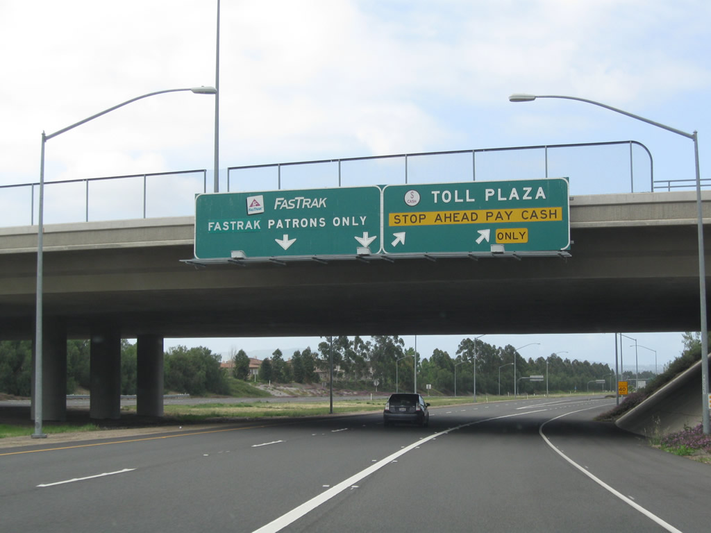
Through traffic on California 261 must pay a toll prior to the interchange with Irvine Boulevard. Stay left to use the FasTrak (electronic toll) lanes, or merge right for the cash toll plaza.
05/02/10
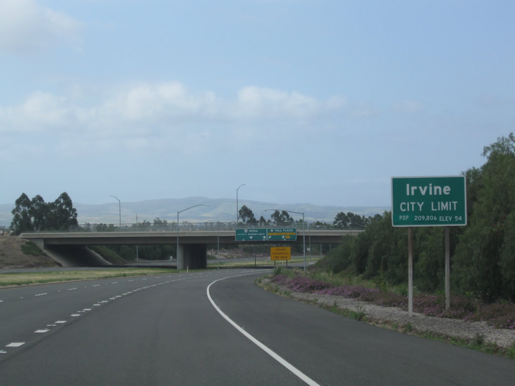
California 261 leaves unincorporated Orange County and enters the city of Irvine as it continues northeast toward Interstate 405 and Interstate 5. Irvine, which incorporated on December 28, 1971, is a master planned city that is home to the University of California at Irvine and features a variety of developments and neighborhoods. Irvine a population of 143,072 as of the 2000 Census.
05/02/10
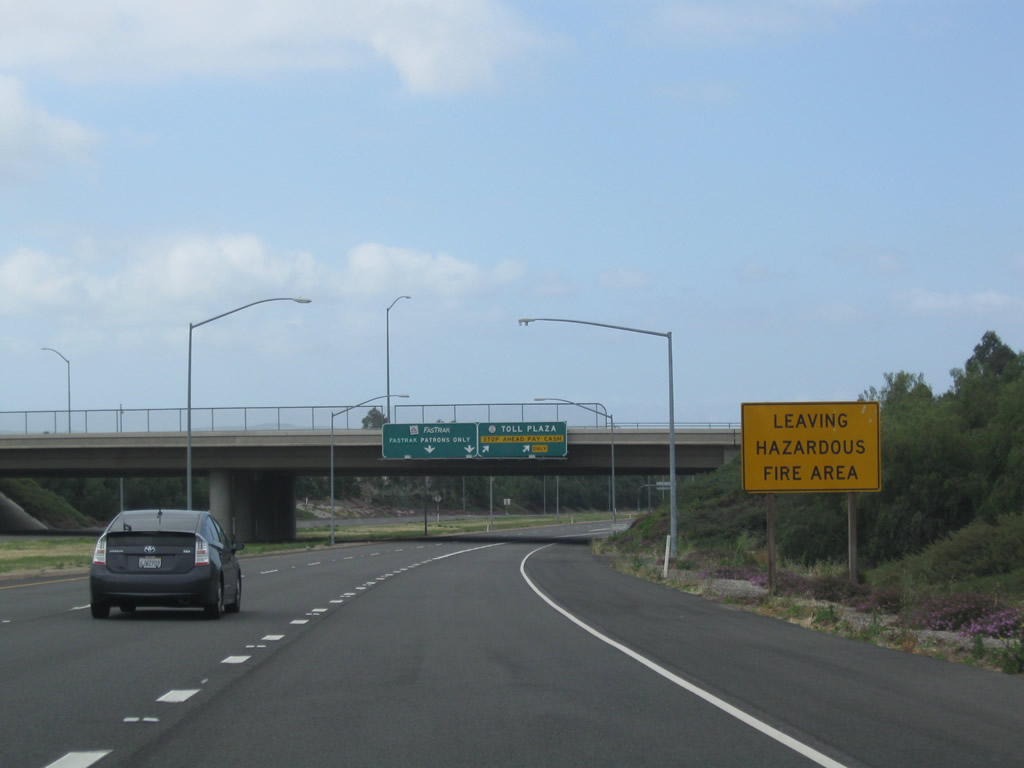
Motorists on California 241 south entered a hazardous fire area near the Windy Ridge Toll Plaza; upon passing into the Irvine Ranch Toll Plaza, travelers on California 261 south leave the hazardous fire area.
05/02/10
The main lanes of California 261 south split at the Irvine Ranch Toll Plaza. Stay left for FasTrak or exit here for the cash toll plaza. When we went through here in May 2010, the toll plaza had no attendants, just a cash/change machine used to pay the toll.
05/02/10
This view looks south along California 261 toward the Irvine Ranch toll plaza.
05/02/10
Over in the FasTrak lanes is an advance sign for Exit 2, Irvine Boulevard (0.75 mile). The cash lanes from the Irvine Ranch toll plaza will rejoin the main lanes ahead.
01/30/05
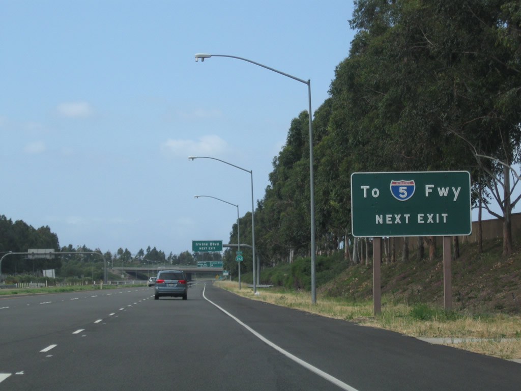
After the electronic toll lanes and cash lanes merge back together, this sign advises that there is no direct connection from California 261 south to Interstate 5 (Santa Ana Freeway). To make that connection, use Exit 2 and connect to Interstate 5 via Irvine Boulevard west to Jamboree Road south.
05/02/10
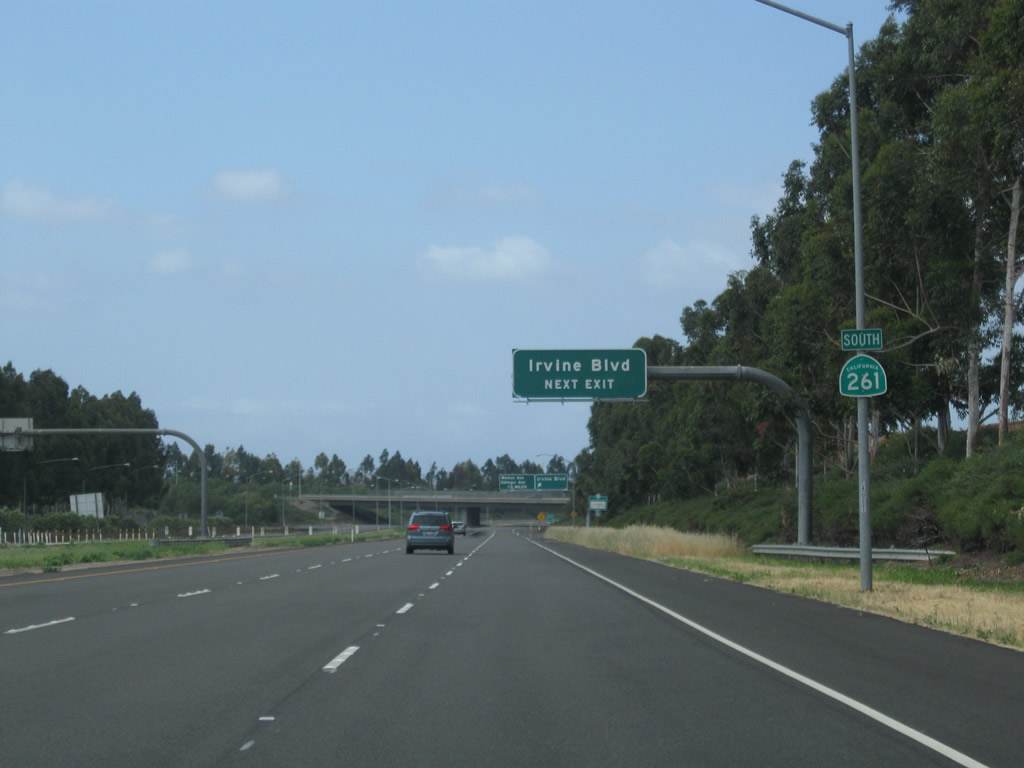
A California 261 south reassurance shield is posted shortly thereafter.
05/02/10
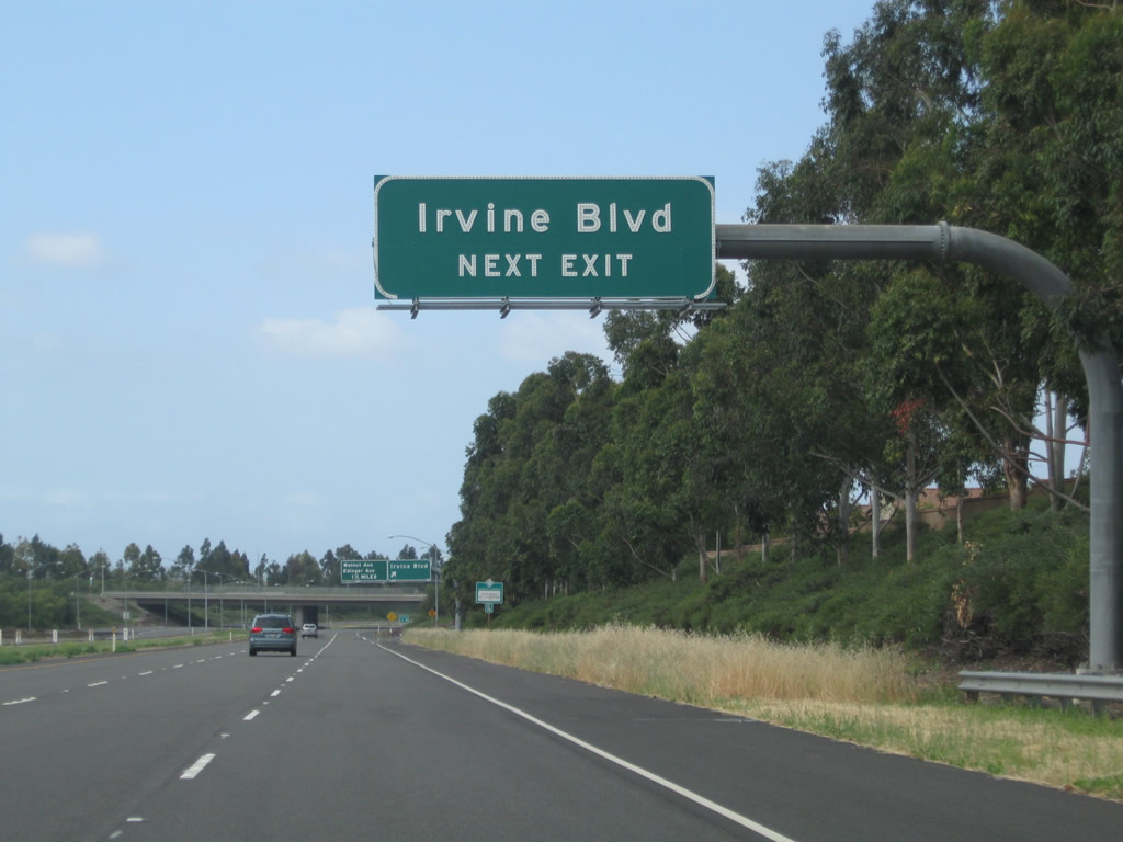
Irvine Boulevard is a major arterial roadway that leads northwest into Tustin and southeast toward the Northwood community of Irvine.
05/02/10
Southbound California 261 reaches Exit 2, Irvine Boulevard. The next interchange along California 261 south is Exit 1, Walnut Avenue and Edinger Avenue.
05/02/10
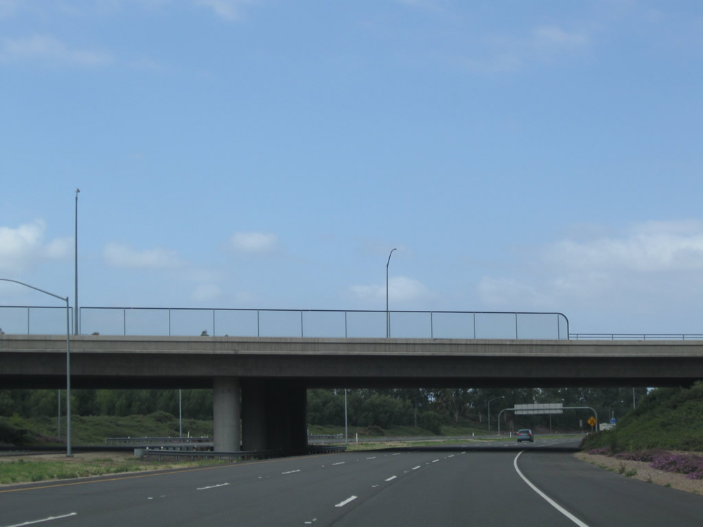
California 261 passes under Irvine Boulevard.
05/02/10
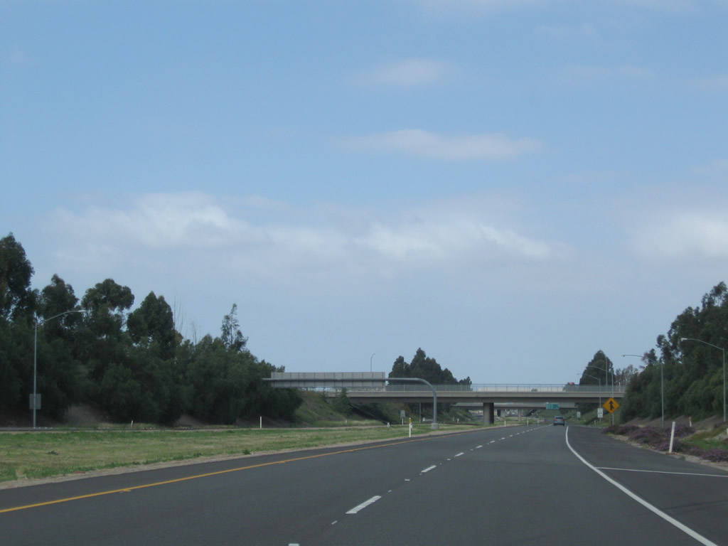
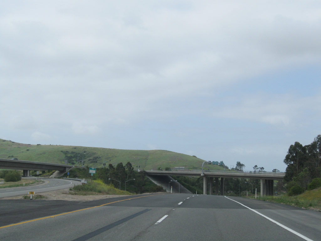
The remaining distance of California 261 was constructed below grade.
05/02/10
California 261 remains below grade as the freeway passes under Bryan Avenue (shown here) and El Camino Real (next overpass).
05/02/10
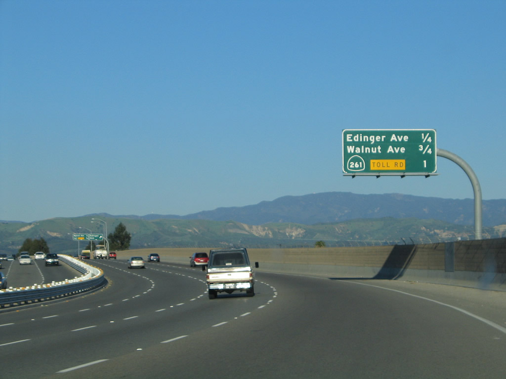
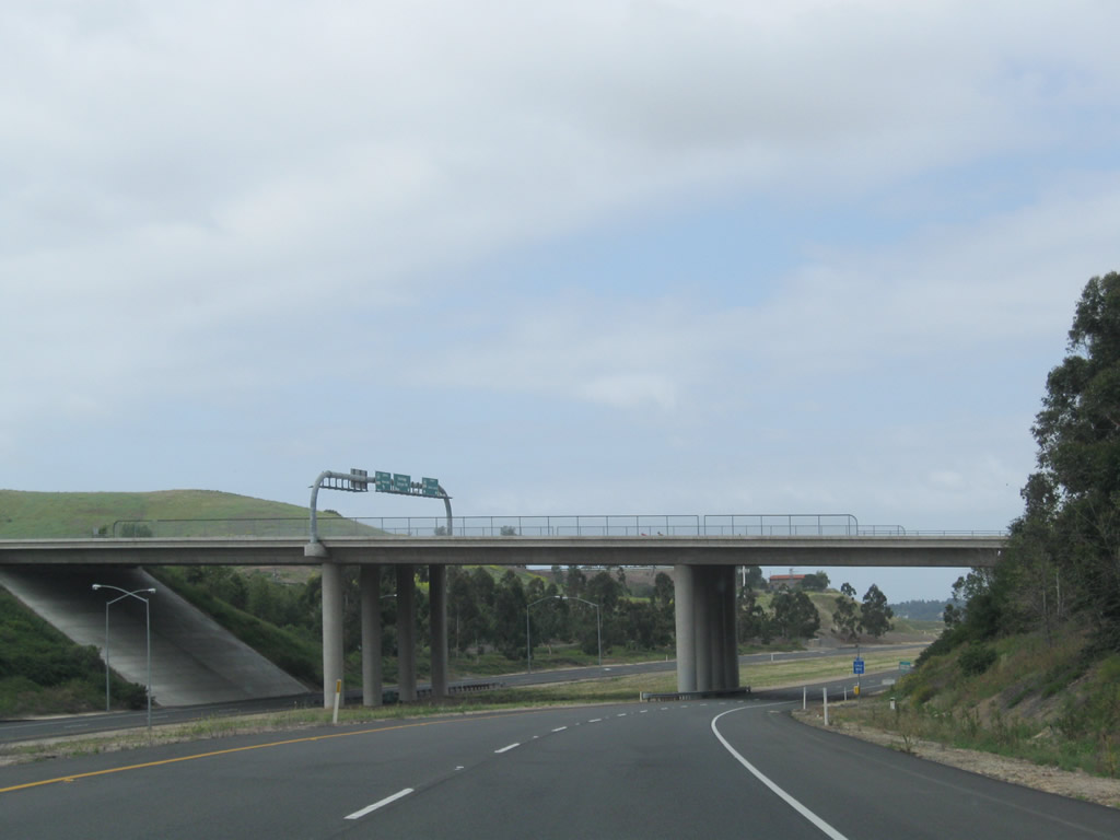
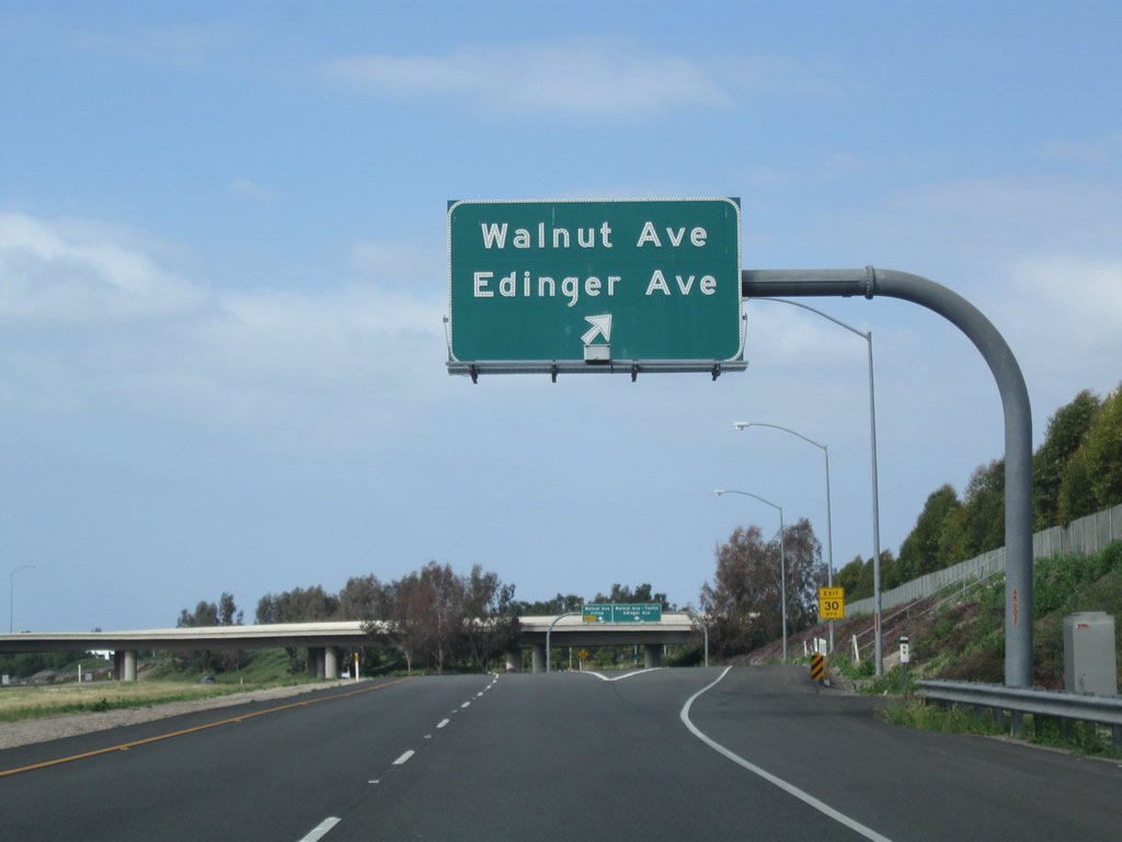
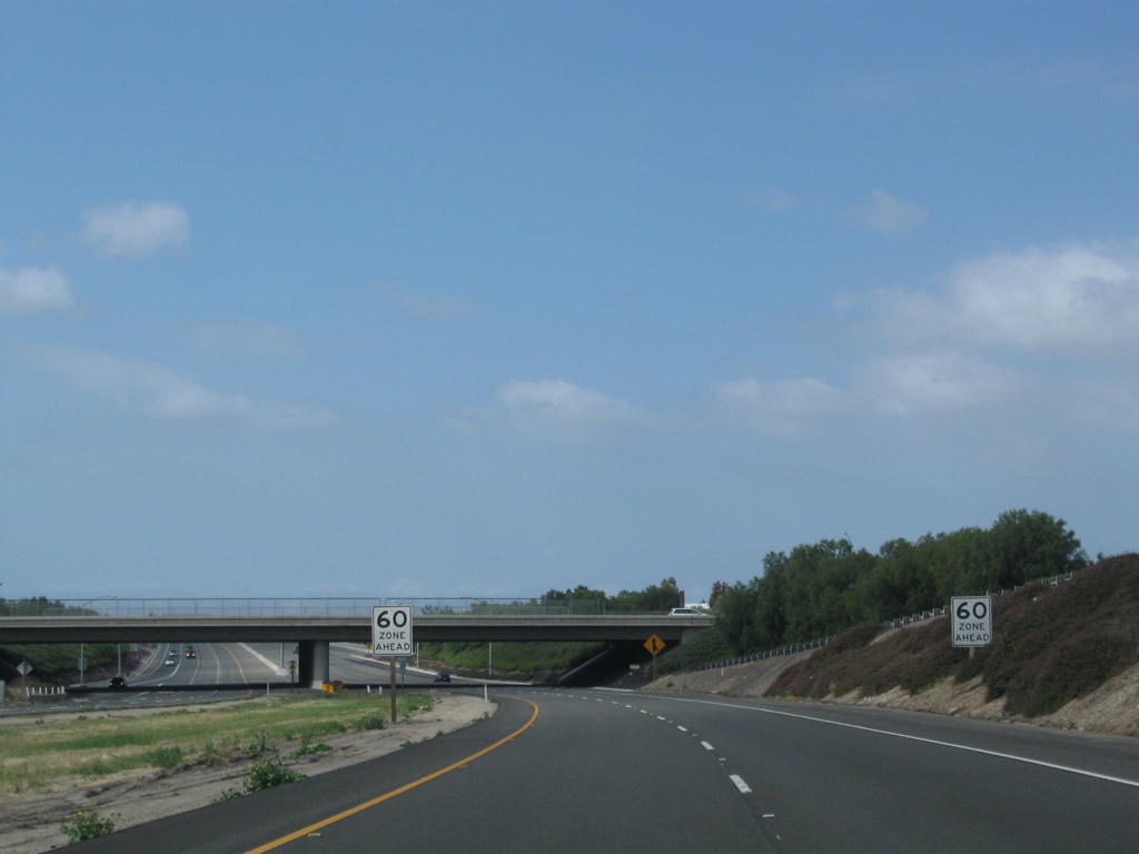
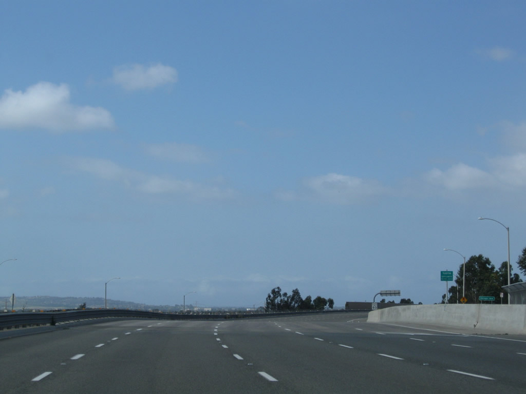
This mileage sign along California 261 south provides the distance to the next two exits: Exit 1, Walnut Avenue and Edinger Avenue and Exit 0, Warner Avenue.
05/02/10
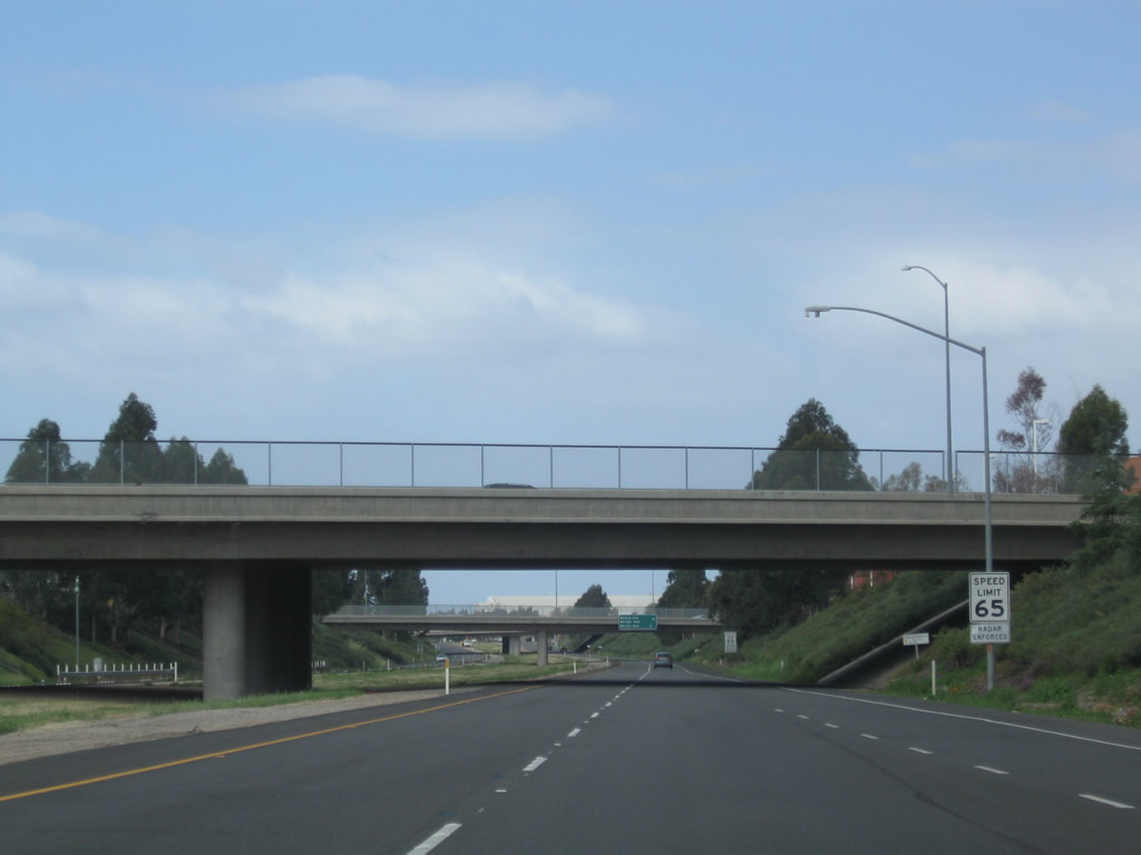
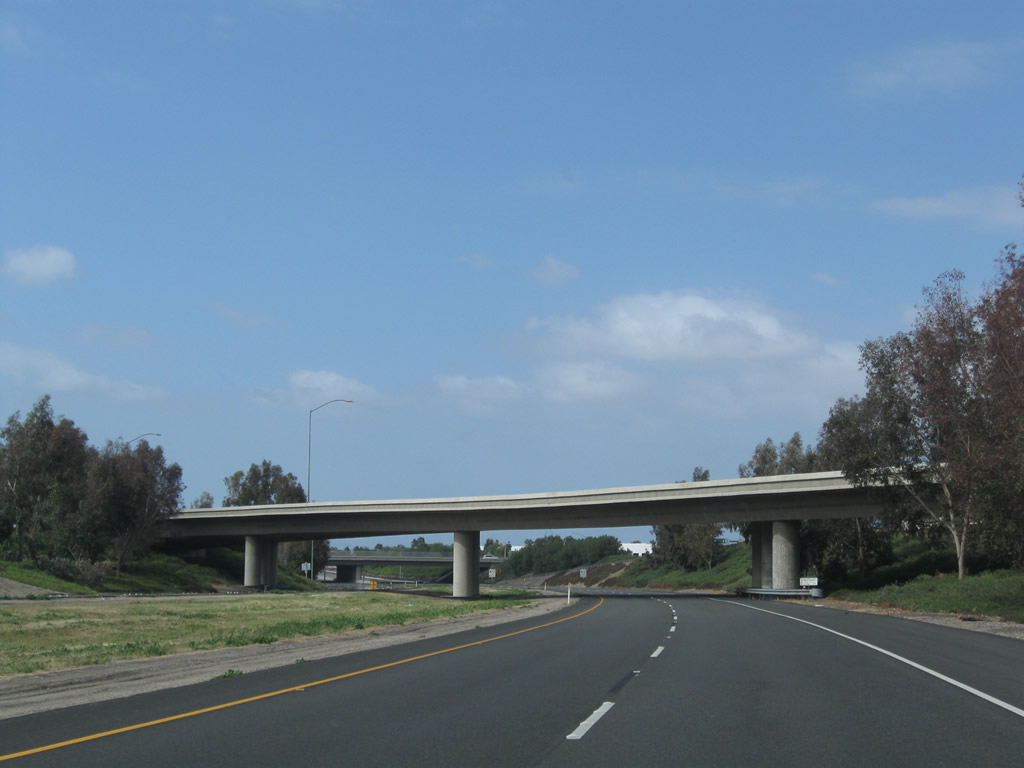
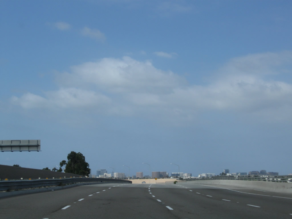
California 261 passes under Interstate 5; there is no direct freeway-to-freeway access between the two routes. The state route will continue on for another mile or so, then end at the transition point into Jamboree Road.
05/02/10
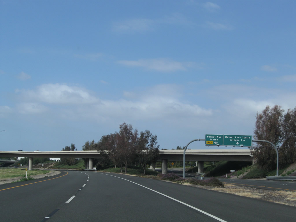
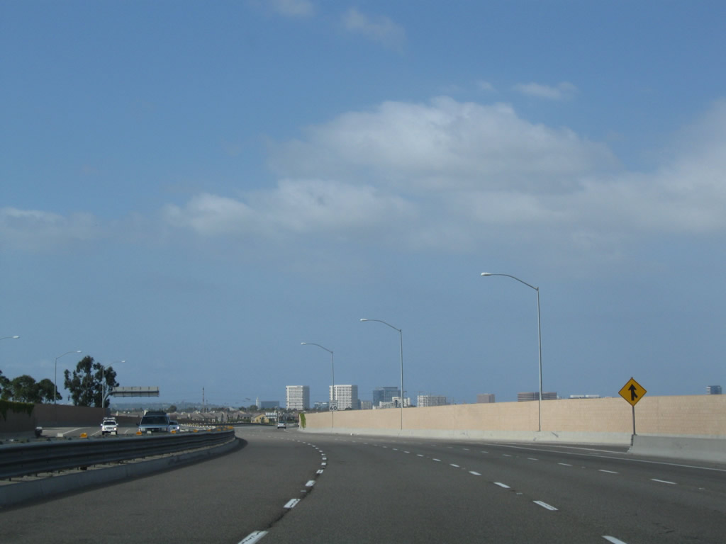
Southbound California 261 meets Exit 1, Walnut Avenue and Edinger Avenue. This is the final exit before California 261 merges onto Jamboree Road south.
05/02/10
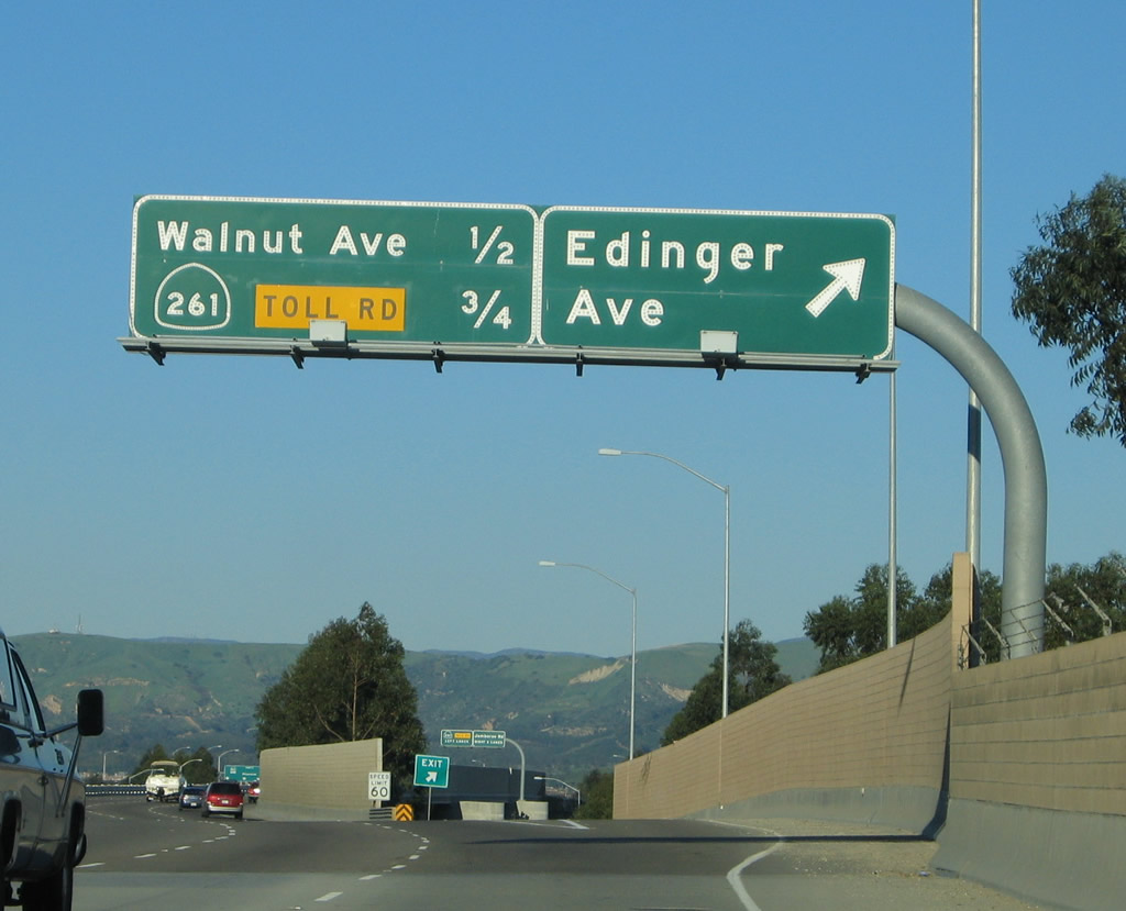
Looking at the off-ramp from California 261 to Exit 1, the left lane links to Walnut Avenue and Edinger Avenue. California 261 passes under Walnut Avenue first, then passes under Edinger Avenue second. The off-ramp directly links to both roads.
05/02/10
The transition ramp that carries Jamboree Road northbound traffic over California 261 comes into view ahead.
05/02/10
Curving through the Walnut Avenue interchange, California 261 sees a speed limit reduction. The toll road ends upon passing under the Walnut Avenue bridge (just ahead). Traffic from southbound Jamboree Road joins California 261 from the right; this will result in a widening of the freeway from two lanes to five lanes southbound.
05/02/10
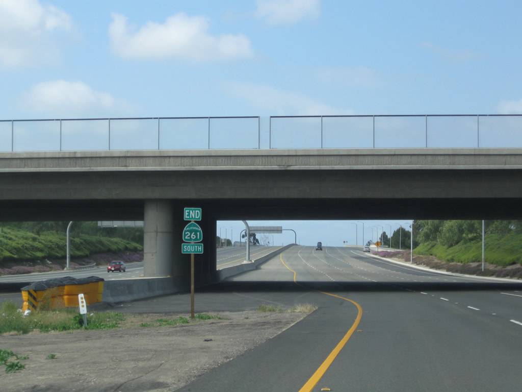
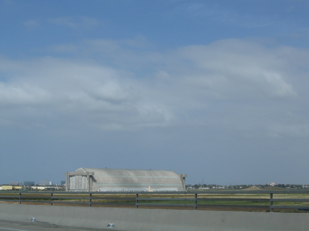
An end shield for SR 261 south appears in the median of the toll road at the Walnut Avenue over crossing.
05/02/10
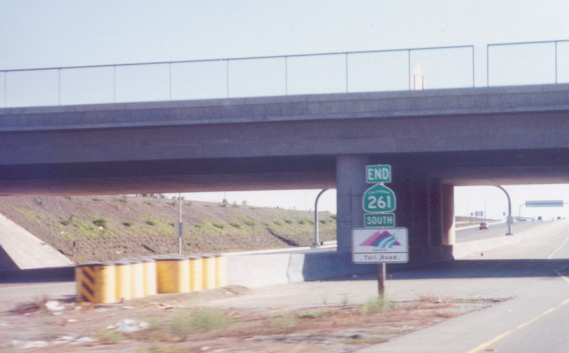
End signs are uncommon in Orange County, so the assembly for SR 261 south is an exception. Jamboree Road extends the freeway south to Barranca Parkway in Irvine.
09/16/00
With the added traffic from Jamboree Road, the southbound freeway widens to five lanes as the continuation of Jamboree Road roughly between the southern limits of Tustin and northern limits of Irvine. Maintenance responsbilities for SR 261 are with the Transportation Corridor Agencies (TCA), while Jamboree Road is locally maintained by the cities of Irvine and Tustin.
05/02/10
Jamboree Road briefly enters the city of Tustin ("Community Trees History Future"). Tustin incorporated in 1927, consists of 11.4 square miles, and was home to 67,504 people as of the 2000 Census. Ahead, Jamboree Road passes over Edinger Road, which is reached via the very long distributor ramp at Exit 1.
05/02/10
Jamboree Road runs along the site of Tustin U.S. Marine Corps Air Station. Decommissioned in 1999, the former base was redeveloped.
05/02/10
Jamboree Road proceeds south through the Edinger Avenue interchange.
05/02/10
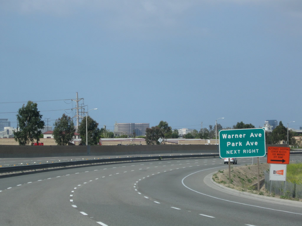
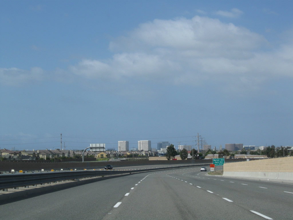
The final exit along Jamboree Road to Warner Avenue and Park Avenue is unnumbered.
05/02/10
Ramps along Jamboree Road southbound connect with Park Road while the northbound roadway ramps link with Warner Avenue. Jamboree Road leaves Tustin and again enters the city of Irvine at this exchange.
05/02/10
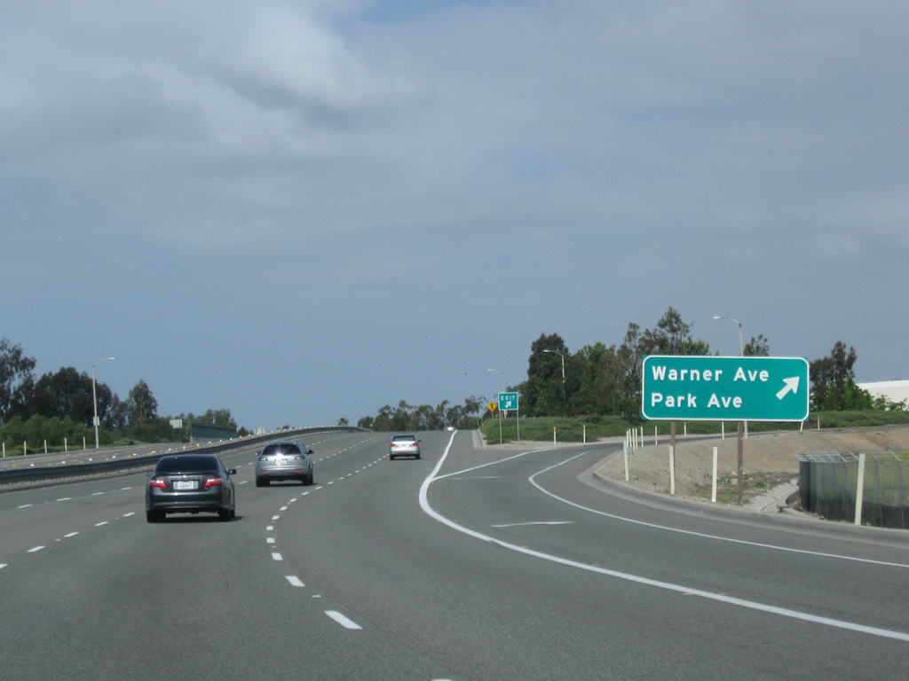
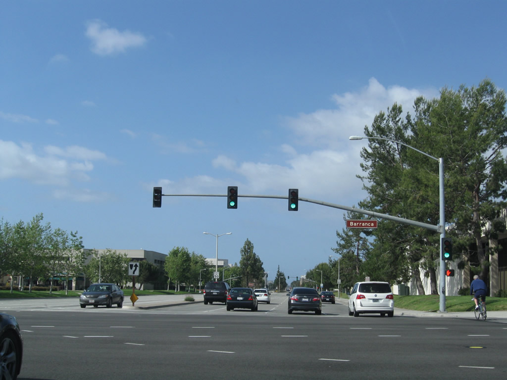
This series of photos follows Jamboree Road as it proceeds south through the Warner Avenue interchange. A new shopping center located on the Tustin side of Jamboree Road comes into view. Jamboree Road continues with four southbound lanes, then approaches a signalized intersection with Barranca Parkway. This intersection will mark the end of the freeway segment connected by both California 261 and Jamboree Road.
05/02/10
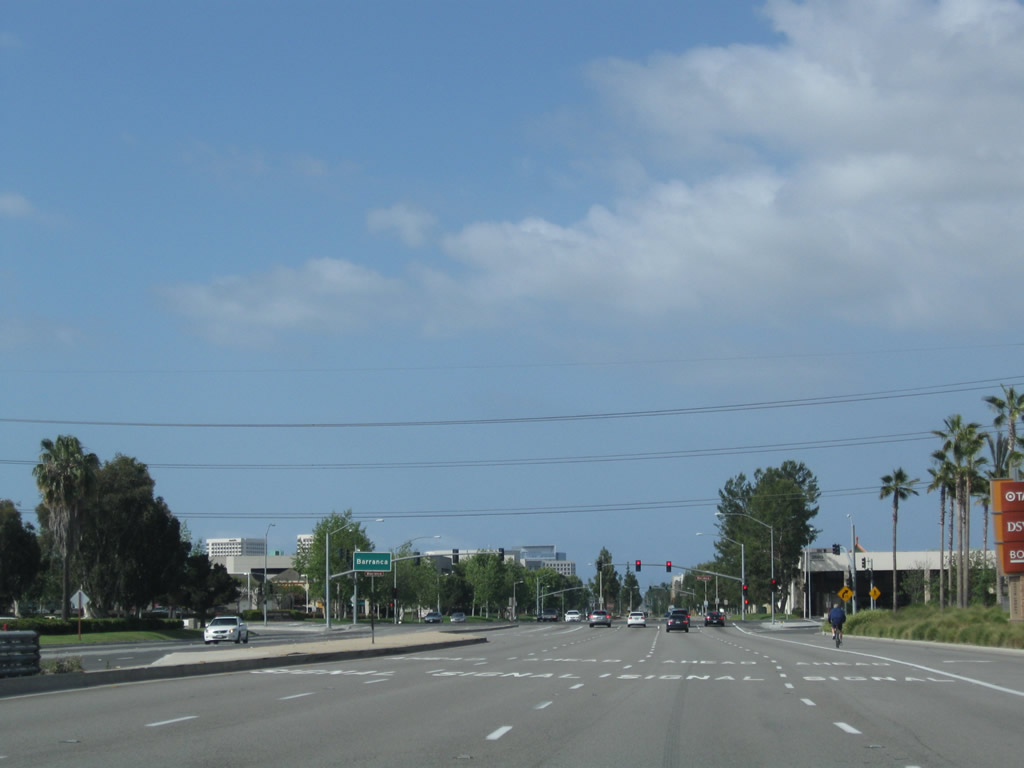
Jamboree Road curves southwest ahead of the signalized interection with Barranca Parkway. The remainder of Jamboree Road south constitutes an urban arterial.
05/02/10
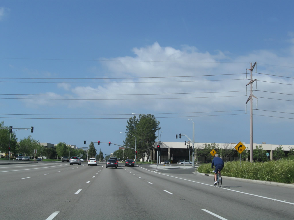
A 230kV Southern California Edison power line crosses over the Jamboree Road at Barranca Parkway.
05/02/10
Barranca Parkway runs northwest along the site boundary of what was Tustin U.S. Marine Corps Air Station to Red Hill Avenue.
05/02/10
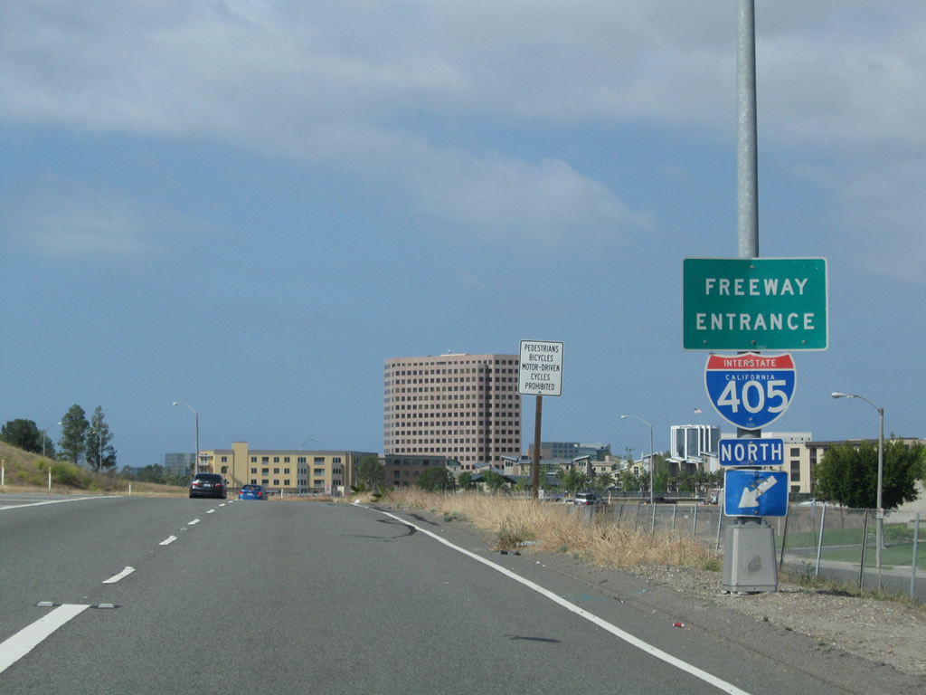
Jamboree Road intersects Main Street in the city of Irvine ahead of the parclo A2 interchange (Exit 7) with Interstate 405 (San Diego Freeway).
05/02/10
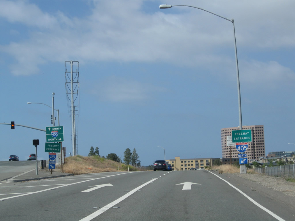
The first right from Jamboree Road southbound links witho the San Diego Freeway north to Long Beach. A loop ramp follows for I-405 south to San Diego.
05/02/10
Photo Credits:
- Andy Field: 09/16/00, 01/30/05, 05/02/10
Connect with:
Page Updated Friday May 11, 2012.