
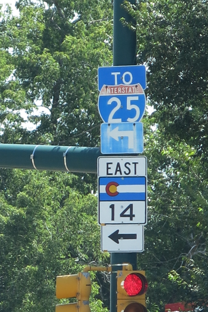
Highway 14
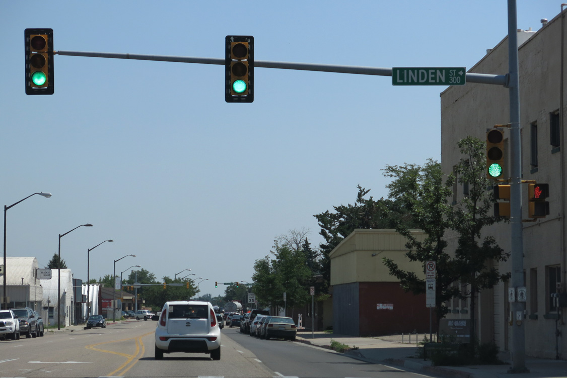
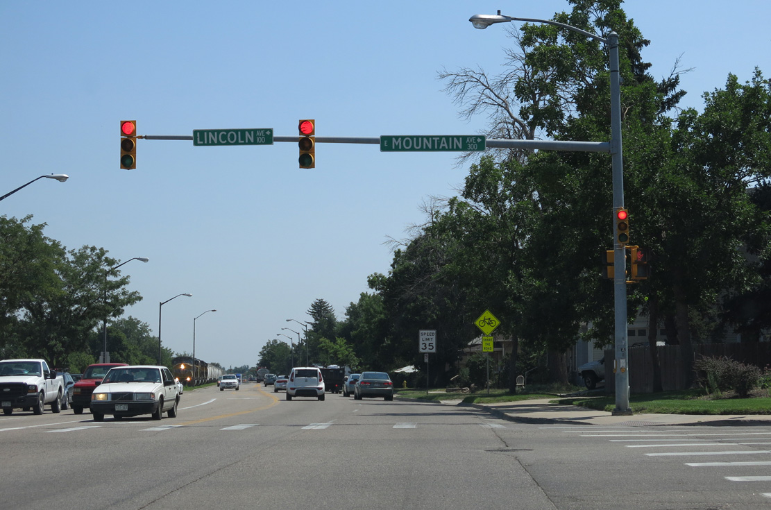
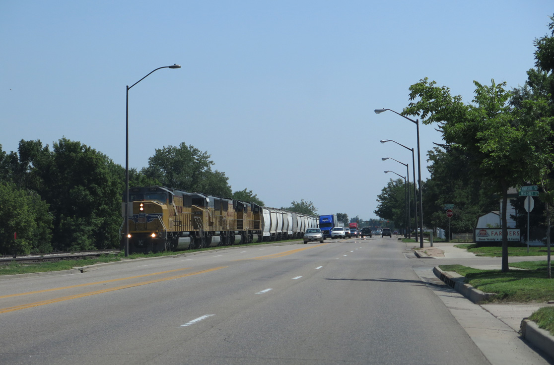
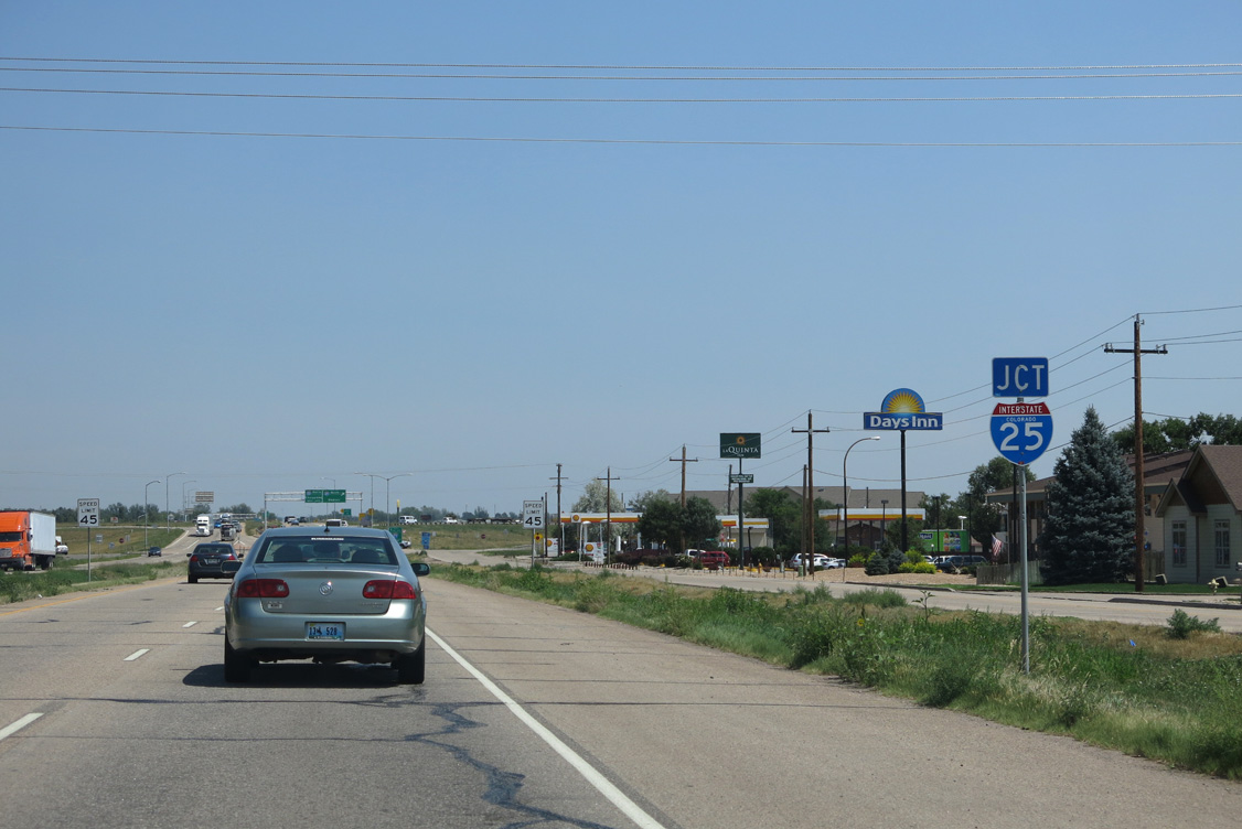
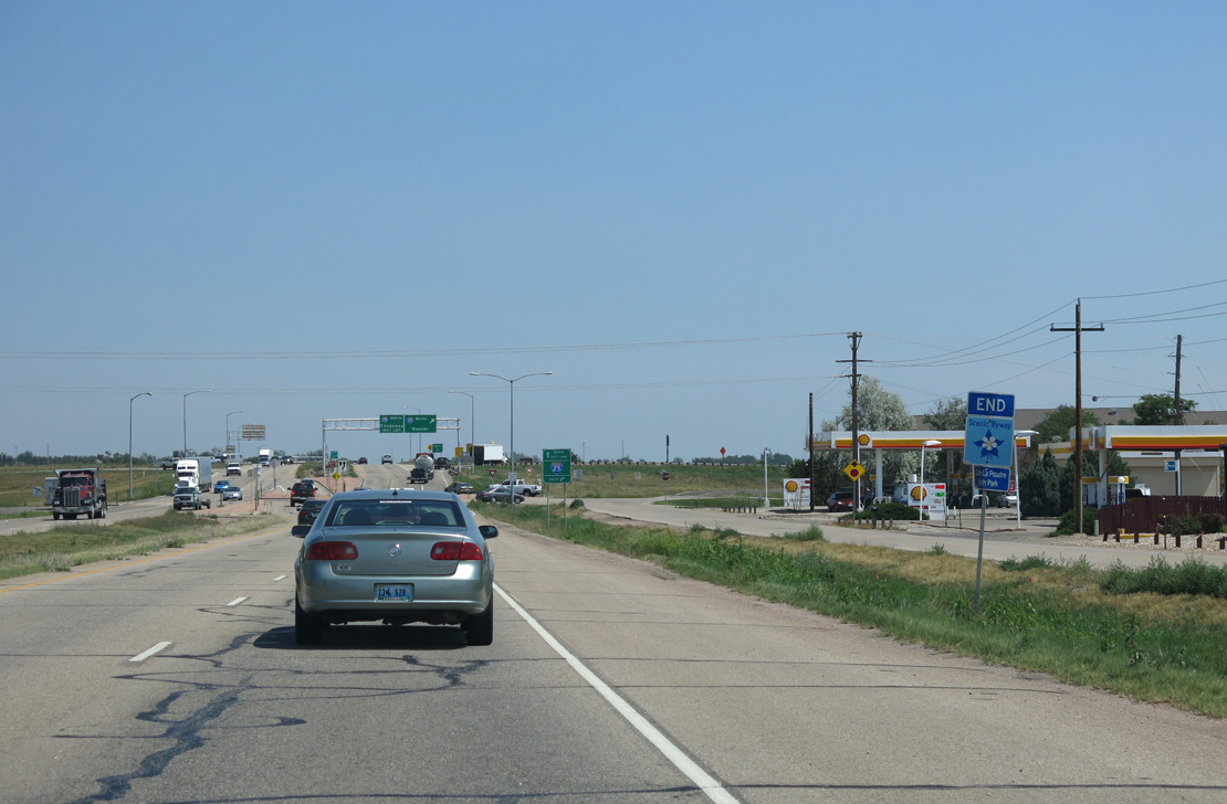
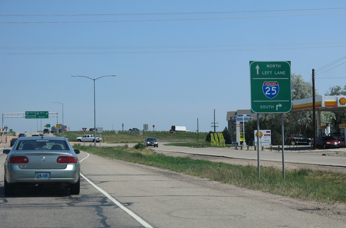
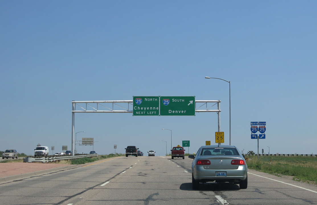
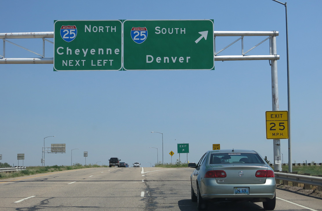
Colorado State Highway 14 travels 236.92 miles from U.S. 40 by the Jackson and Grand County line east to Sterling along the South Platte River and Interstate 76 corridor. SH 14 serves the plains of northern and northeastern Colorado, leaving Larimer County and continuing through Ault and several other small Weld County communities en route to the seat of Logan County. The highway passes ranches and farms as well as land preserved as part of the Pawnee National Grassland. Beyond the end of SH 14 in Sterling, U.S. 6 picks up the trajectory of SH 14 east toward Holyoke in Phillips County and onward to Nebraska.
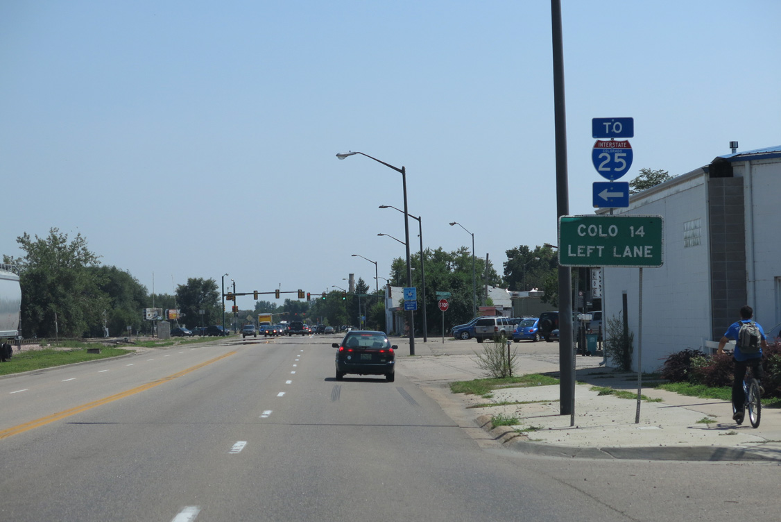
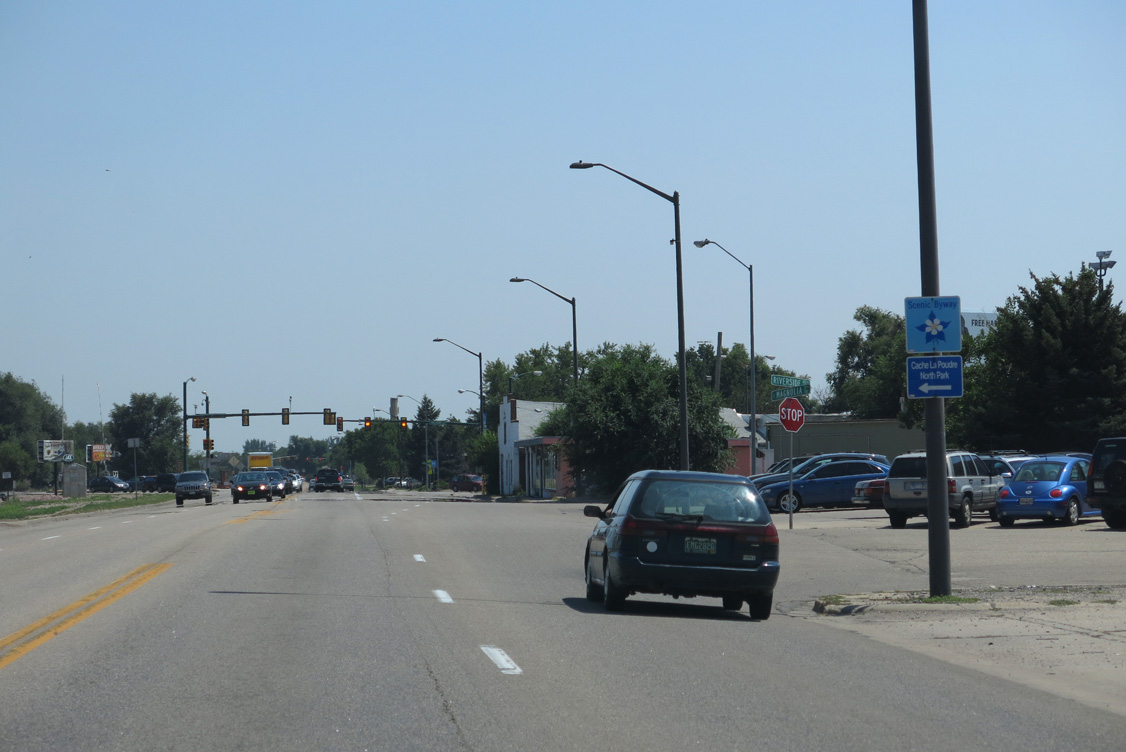
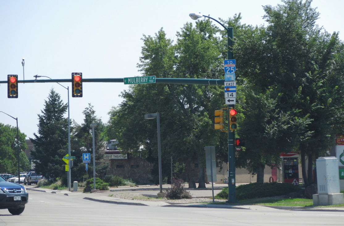
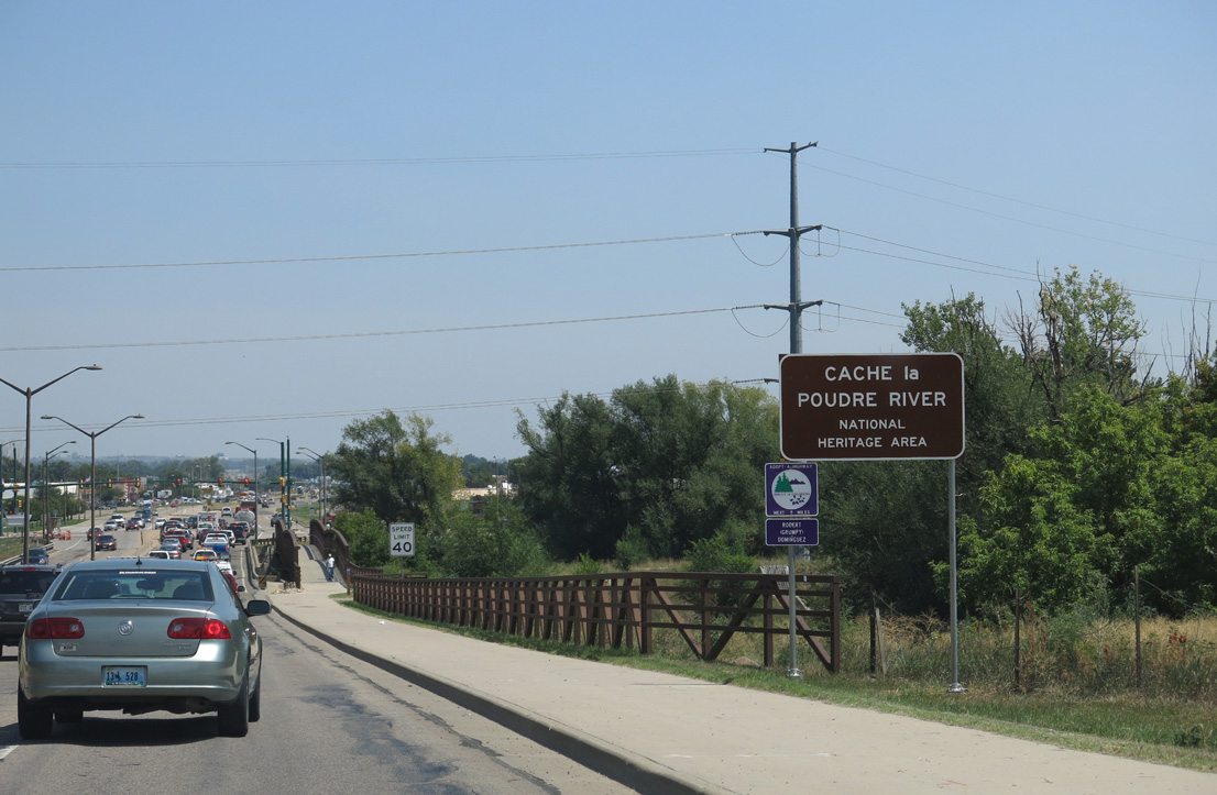
SH 14 west joins U.S. 287 north from Fort Collins to the community of Laporte. Beyond their split at Ted's Place, U.S. 287 continues northwest into Laramie, Wyoming, while SH 14 turns west into the Laramie Mountains. The state highway is represents a scenic corridor that follows the Cache La Poudre River through Roosevelt National Forest. SH 14 ascends to an elevation of 10,276 feet as its crosses Colorado's section of the Medicine Bow Mountains, which include the Snowy Range west of Laramie in Wyoming, at Cameron Pass.
Continuing northwest between Gould and Owl Mountain, SH 14 descends into a basin, where it passes through the town of Walden. Following an overlap with SH 125, SH 14 (Route 014A) runs south toward Mexican Ridge and the Rabbit Ears Range to conclude in 32.97 miles at U.S. 40 and Muddy Pass by the Continental Divide U.S. 40 travels west then north to Steamboat Springs, a world famous ski resort town. U.S. 40 then continues west toward Craig and onward to Utah.
 East
East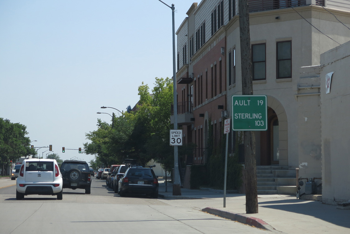
08/15/13
08/15/13
08/15/13
08/15/13
08/15/13
08/15/13
08/15/13
08/15/13
08/15/13
08/15/13
08/15/13
08/15/13
08/15/13
08/15/13
08/15/13
08/15/13
08/15/13
08/15/13
08/15/13
Photo Credits:
- Andy Field: 08/15/13
Connect with:
Page Updated Sunday January 09, 2022.