
State Highway 67
Colorado State Highway 67 is split into six sections that generally follow the same north to south corridor but are separated by segments of locally maintained roadway or overlap with other state maintained highways. The southern section (Route 067A) connects SH 96 at Wetmore with SH 115 (Robinson Avenue) in Florence, a distance of 11.05 miles. Route 067B extends SH 67 north 3.51 miles from SH 115 in Florence to U.S. 50. Fremont County Road 67 and Teller County Road 86 (Phantom Canyon Road) link the the state highway from U.S. 50 with Route 067C at Victor. The third section runs 5.17 miles north from Victor Avenue and 4th Street to the Cripple Creek city limits.
SH 67 was turned over to local control through Cripple Creek, with state maintenance resuming northward as Route 067F. This 17.35 mile long section takes SH 67 north to U.S. 24 at Divide. An overlap with U.S. 24 leads east to Woodland Park, where Route 067D leads 23.12 miles north to Deckers at the intersection with CR 75 and CR 126 (Deckers Road). After a locally maintained section between Deckers and Rampart Ridge Road, SH 67 resumes again (Route 67E) 10.10 miles en route to U.S. 85 in Sedalia.
 North
North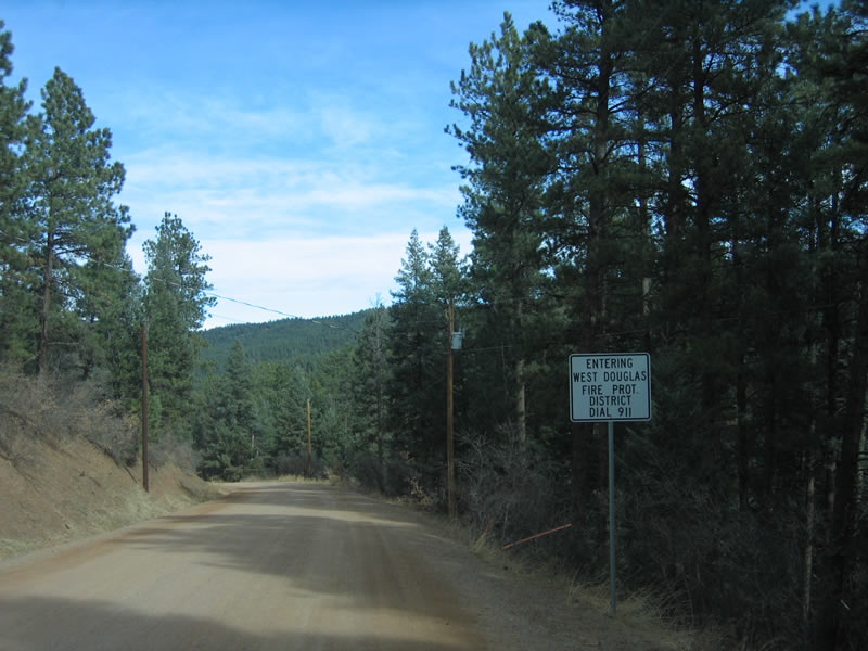
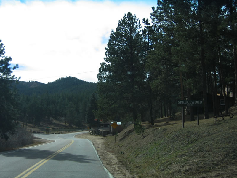
Douglas County Road 67 constitutes an unpaved road that connects Deckers with Trumbull, Oxyoke and Sprucewood. Here, the county road approaches Sprucewood, a small enclave of homes within Pike National Forest.
11/13/03
A culvert allows water to pass under the unpaved roadway near Sprucewood. Views of Noddle Heads and Bear Mountain are afforded from the county road to the west.
11/13/03
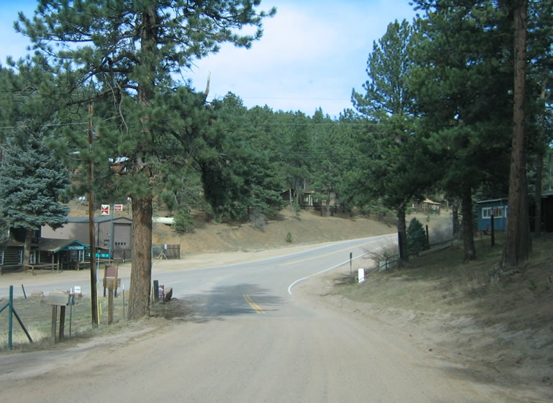
Within Sprucewood, CR 67 transitions into a paved road as it combines with CR 40 en route to Sedalia.
11/13/03
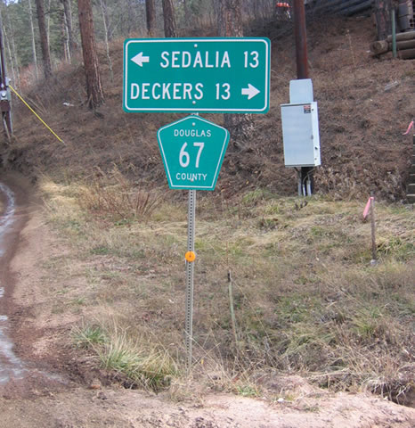
Distance sign posted where County Road 40 intersects County Road 67 in Sprucewood. CR 67 north leads 13 miles to Sedalia and U.S. 85.
11/13/03
The county road continues north through Sprucewood toward the settlement of Moonridge.
11/13/03
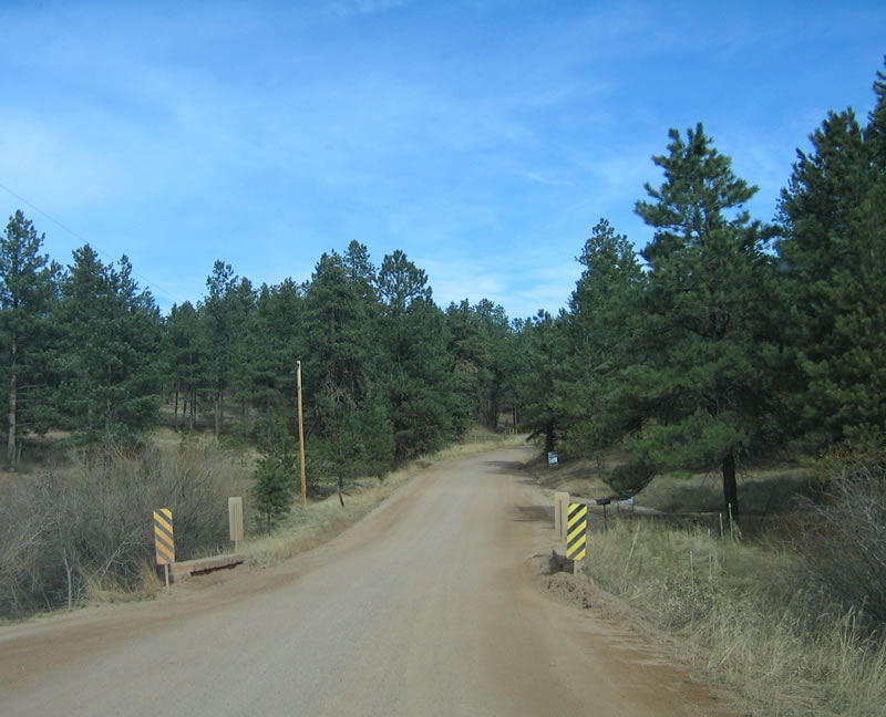
While most of the property within Pike National Forest is federally owned, private property ownership exists within the forest as well. These properties were often owned by homesteaders before the federal government established the national forest.
11/13/03
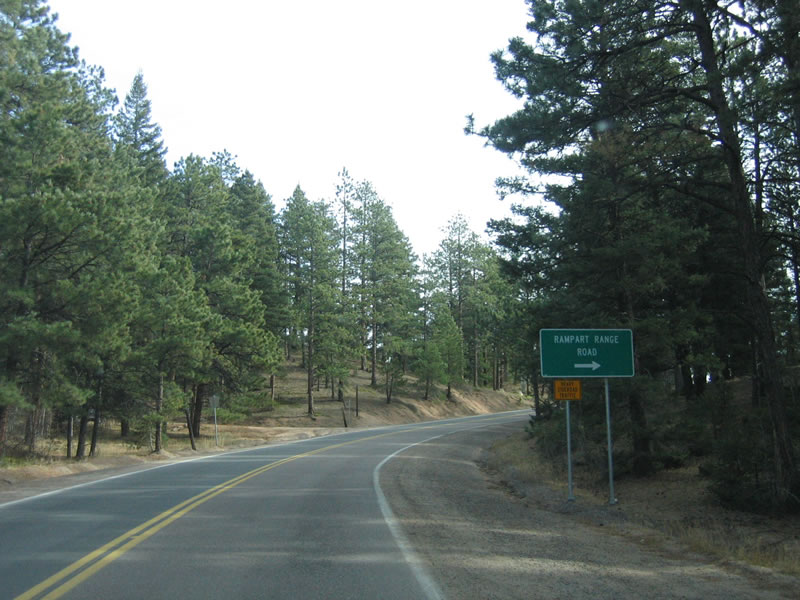
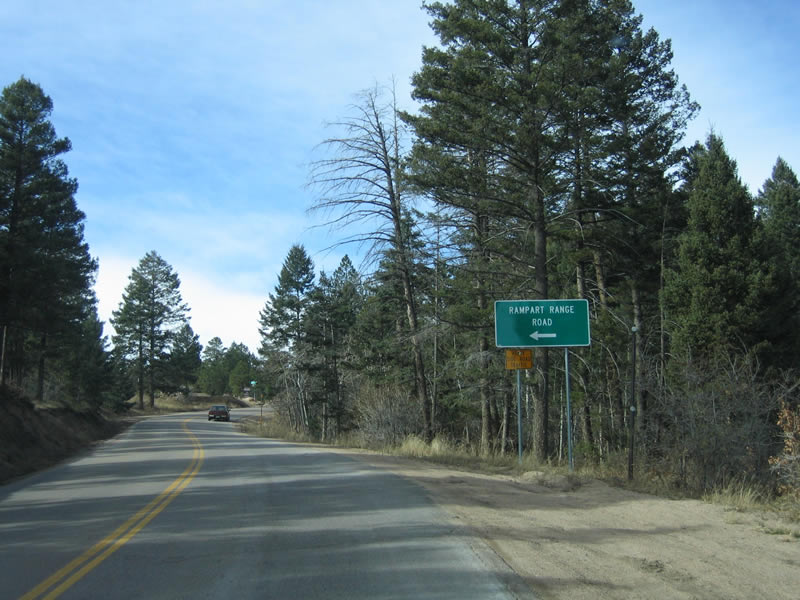
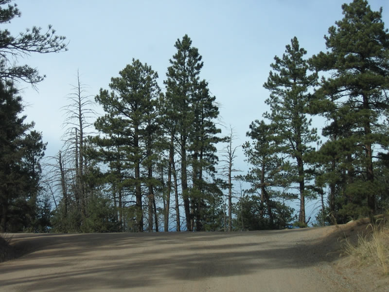
Northbound CR 67 at Rampart Range Road. Designated as Forest Service Road 300, Rampart Range Road travels south along the Rampart Range, offering a paved route past Devil's Head into El Paso County, where it meets U.S. 24 in Manitou Springs, just west of Colorado Springs.
11/13/03
 North
North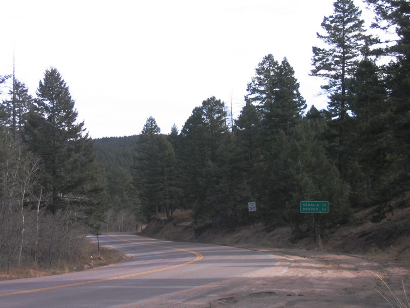
SH 67 begins after the CR 67 intersection with Rampart Range Road. A CDOT distance sign references Sedalia (10 miles) and Denver (33 miles).
11/13/03
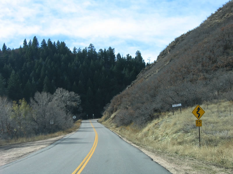
SH 67 turns east after Rampart Range Road en route to Sedalia. Despite state maintaintence, the road has sections with limited sight distance and no shoulders.
11/13/03
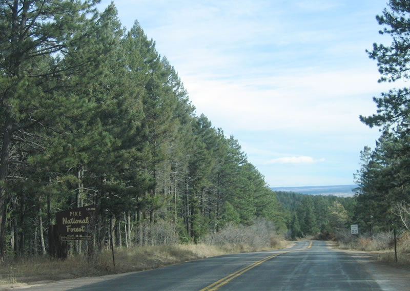
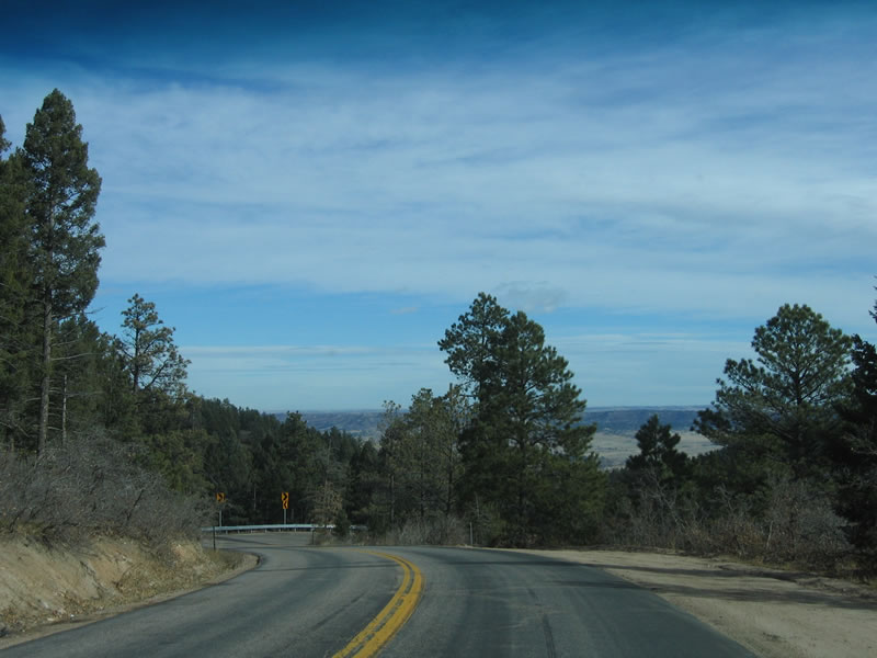
The Great Plains of Colorado come into view as SH 67 lowers through Jarre Canyon.
11/13/03
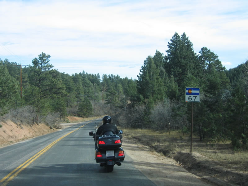
The first reassurance shield for SH 67 along Jarre Canyon Road appears on the downgrade from the Rampart Range to Oak Valley.
11/13/03
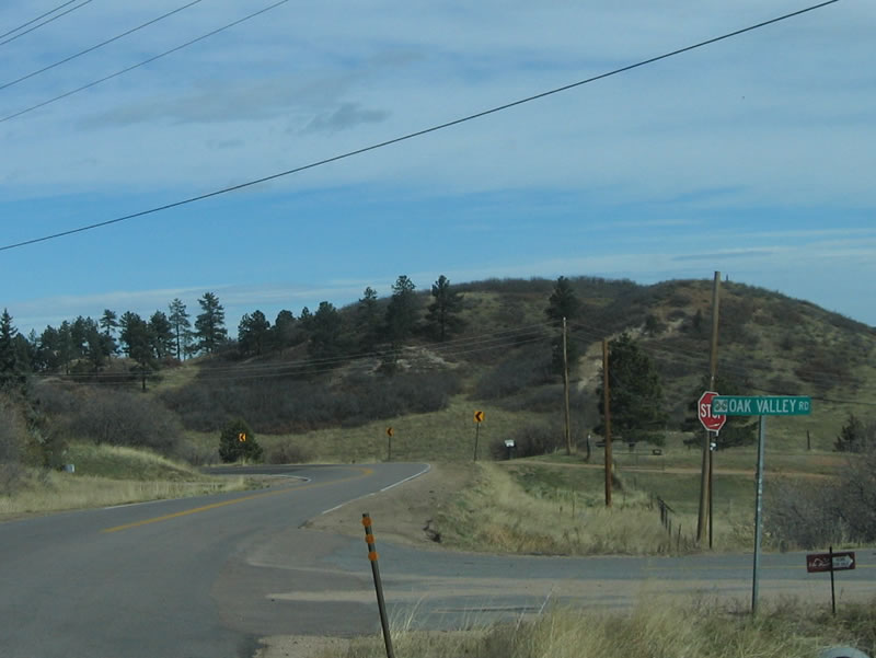
Northbound SH 67 reaches Oak Valley Road at the bottom of the Rampart Range grade. Oak Valley Road travels south to Pine Cliff Road.
11/13/03
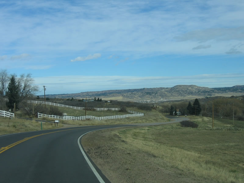
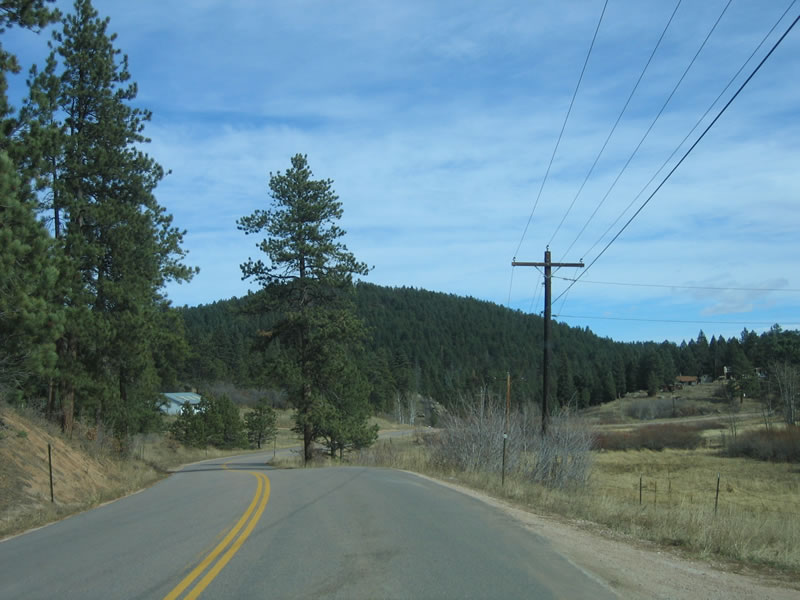
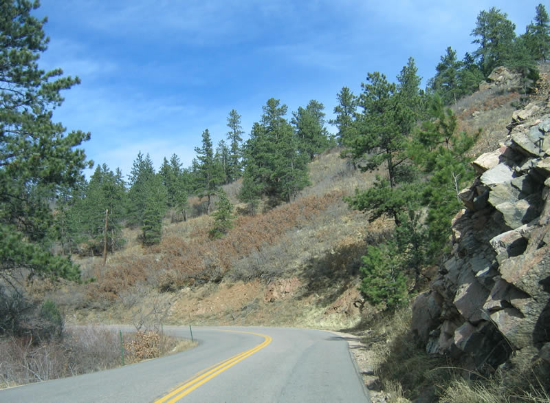
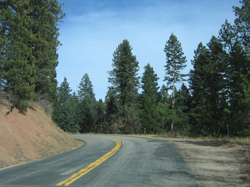
Traversing rolling hills, large estates and ranch homes populate the rural landscape as SH 67 advances northeast toward Sedalia.
11/13/03
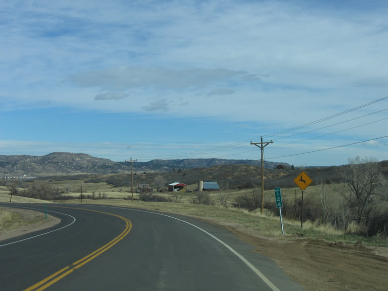
Milepost 124 is located midway between Jarre Canyon and Sedalia. SH 67 passes just east of Wildcat Mountain and parallels Jarre Creek along this stretch.
11/13/03
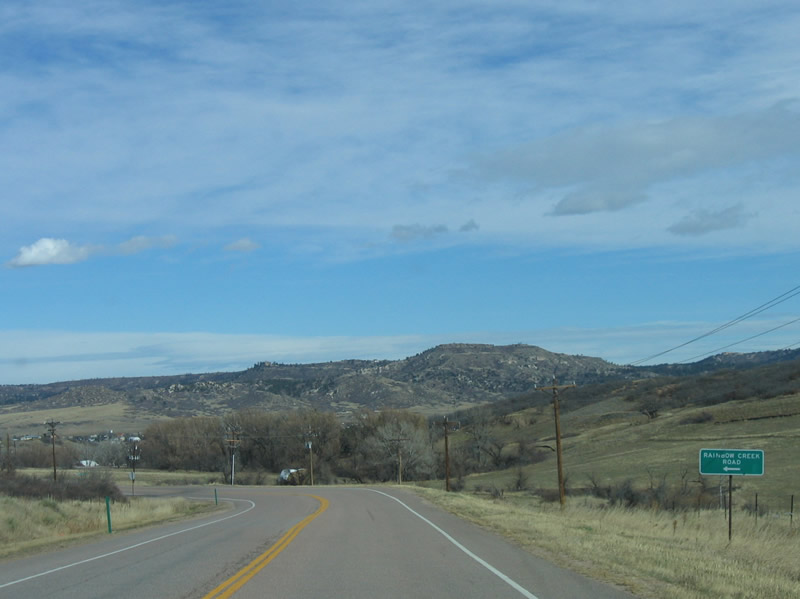
Rainbow Creek Road spurs west from SH 67 to a collection of mountainside homes near Rainbow Creek.
11/13/03
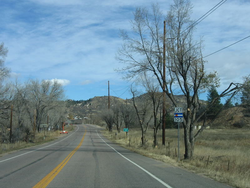
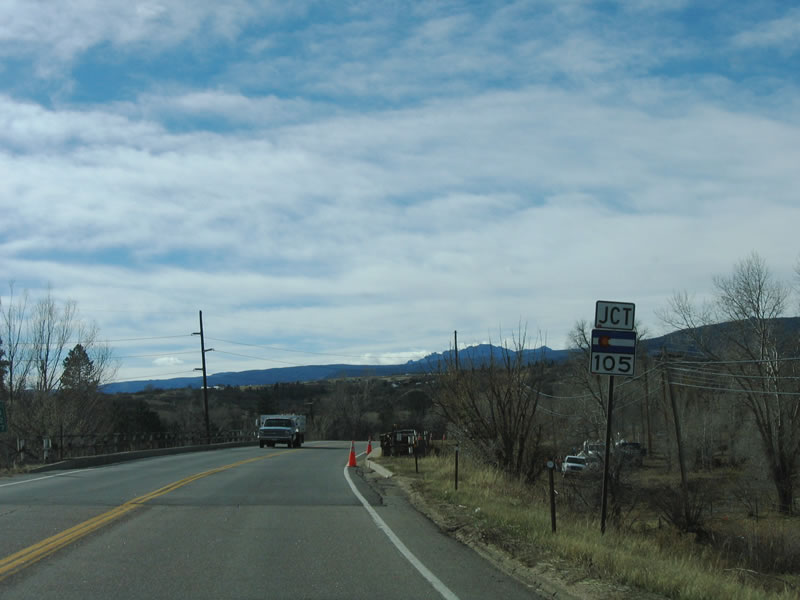
Nearing the outskirts of Sedalia, SH 67 (Jarre Canyon Road) meets SH 105 (Perry Park Road) south.
11/13/03
SH 105 (Perry Park Road) parallels West Plum Creek south en route to Palmer Lake and Monument, where the state highway meets Interstate 25. SH 105 is discontinuous, with local maintenance between Wolfensberger Road and the Douglas-El Paso County Line along CR 105.
11/13/03
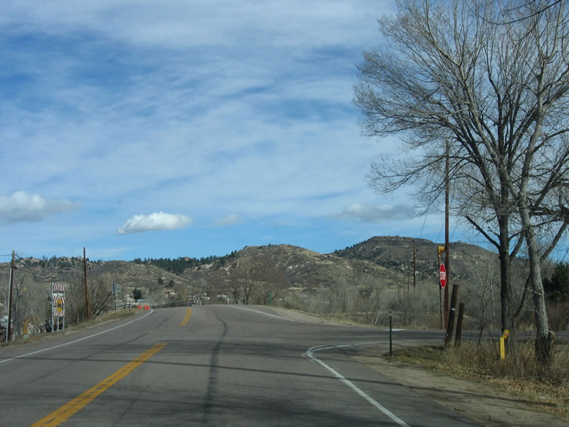
Sedalia comes into view as SH 67 crosses East Plum Creek after SH 105.
11/13/03
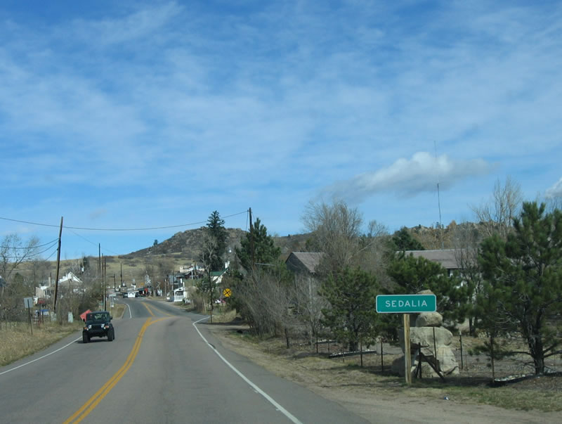
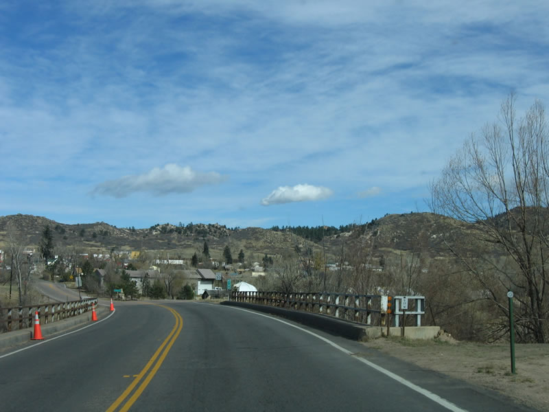
Sedalia is a rural community located along U.S. 85, northwest of Castle Rock. The main commercial area is located along SH 67 and Douglas County Road 18 (U.S. 85 Business).
11/13/03
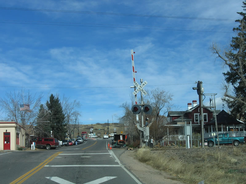
SH 67 crosses Union Pacific and Burlington Northern and Santa Fe (BNSF) Railroad lines in Sedalia.
11/13/03
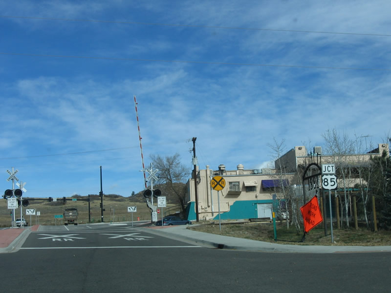
U.S. 85 bypasses the Sedala street grid along Santa Fe Drive.
11/13/03
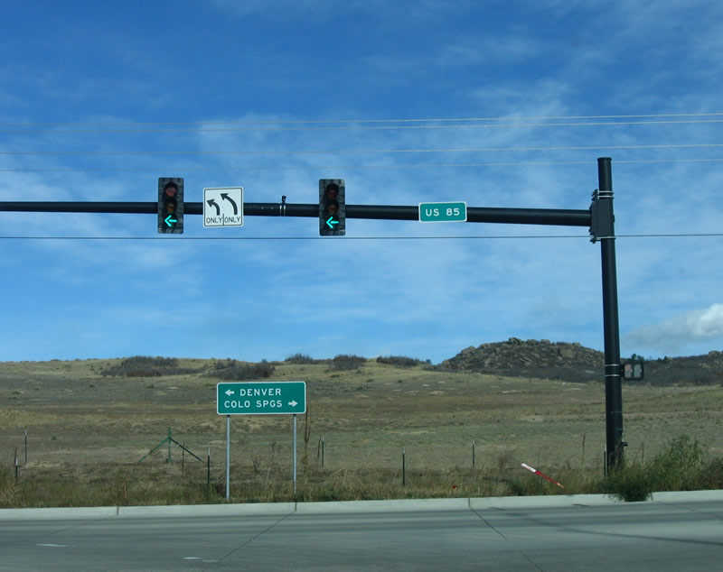
U.S. 85 heads north from the end of SH 67 to Littleton and Denver and south to Castle Rock and Colorado Springs on Interstate 25.
11/13/03
South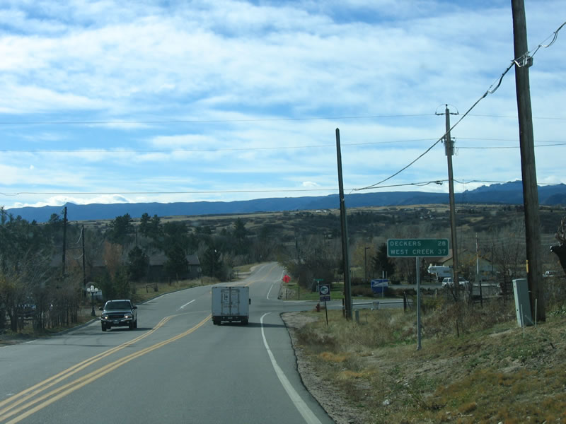
SH 67 (Manhart Avenue) south at Douglas Avenue in Sedalia. This distance sign references Deckers (28 miles) and West Creek (37 miles) via SH 67 and CR 67 southbound.
11/13/03
Continuing southwest, SH 67 converges with SH 105 (Perry Park Road). Perry Park Road ventures south to Palmer Lake and Monument in El Paso County.
11/13/03
SH 105 constitutes a 9.22 mile long route split in two segments. The state highway extends from SH 67 south to Wolfensberger Road, then shifts to local control from that point to the Douglas-El Paso County Line.
11/13/03
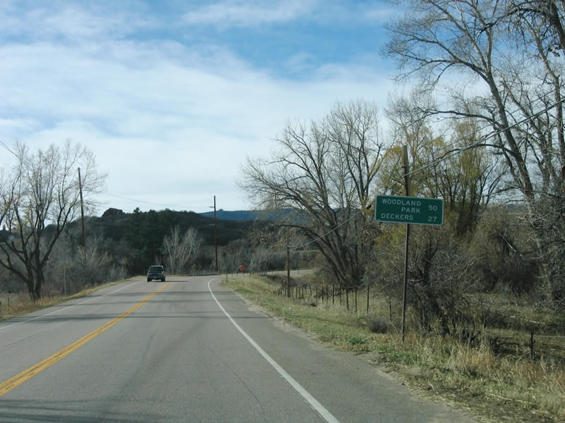
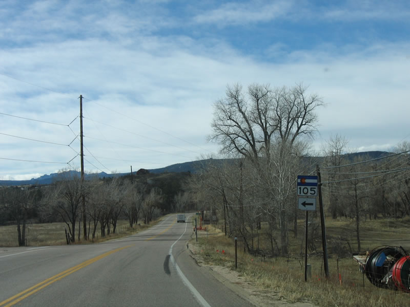
South from SH 105, Deckers lies 27 miles ahead, followed by Woodland Park in 50 miles. Both of these destinations are reached via county maintained dirt roads, as SH 67 shifts to local control after crossing Rampart Range Road.
11/13/03
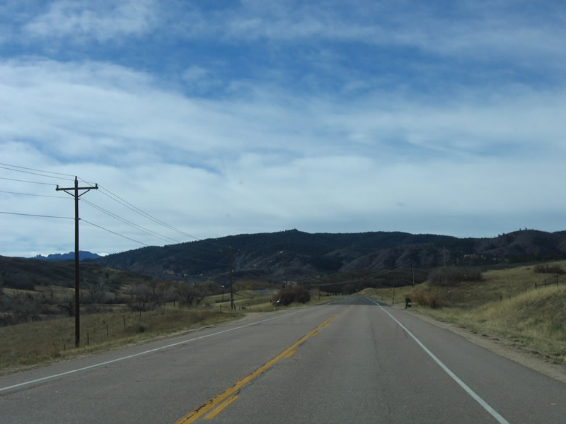
The Rampart Range rises in the distance as SH 67 travels west toward the mountains.
11/13/03
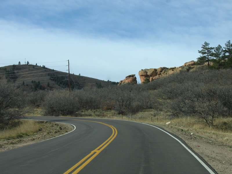
Rock formations such as this one are occasionally found along SH 67.
11/13/03
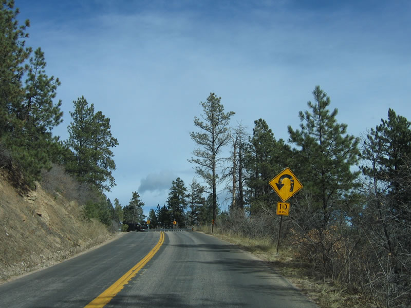
As SH 67 ascends toward the Rampart Range, the roadway narrows with no shoulders and white line striping.
11/13/03
Short switchbacks precede the top of Rampart Range along SH 67 southbound.
11/13/03
Southbound SH 67 reaches Rampart Range Road, which is also designated as Forest Service Road 300. This scenic route leads south past Devil's Head National Recreation Trail toward Manitou Springs and U.S. 24.
11/13/03
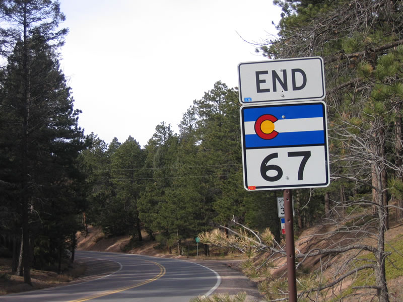
An end SH 67 shield stands at the intersection with Rampart Range Road. The quality of the roadway decreases somewhat with county maintainance commencing southward.
11/13/03
South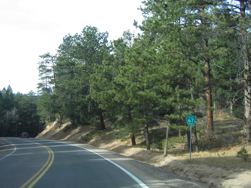
A typical green Douglas County Road 67 shield posted along Pine Creek Road after Rampart Range Road. Douglas County uses green rather than blue pentagons to sign its county roads.
11/13/03
Continuing southwest past Moonridge, CR 67 enters the settlement of Sprucewood.
11/13/03

County Road 67 becomes unpaved beyond the separation with County Road 40 in Sprucewood. CR 40 heads to Nighthawk and Twin Cedars.
11/13/03
The dirt road along CR 67 south from Sprucewood rises, providing views of the distant Noddle Heads and valley below. The highway sometimes narrows, but it generally provides sufficient sight distance.
11/13/03
Photo Credits:
- Andy Field: 11/13/03
Connect with:
Page Updated Thursday May 04, 2017.