
County Road 4
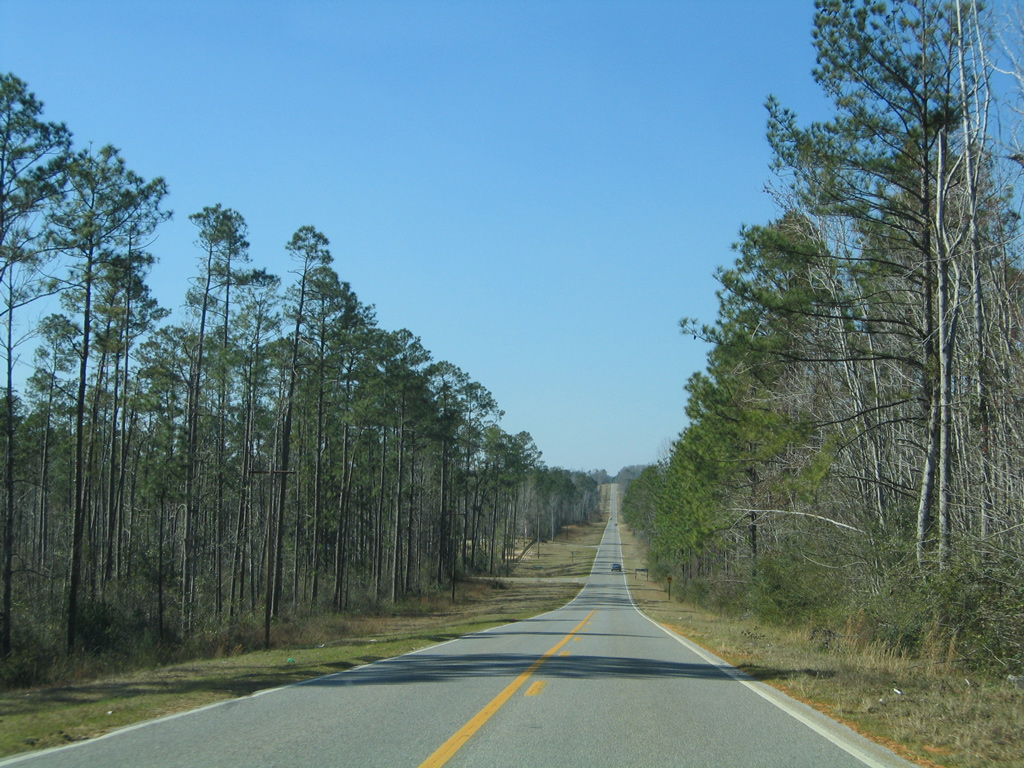
Escambia County Road 4 constitutes a rural highway stretching 13.35 miles across northern Escambia County between SR 97 at Davisville and U.S. 29 in the city of Century.
A second and vastly unsigned stretch of County Road 4 spurs southward from U.S. 90, 3.02 miles along Antioch Road to P.J. Adams Parkway in Crestview. That county road was truncated when Antioch Road was replaced by P.J. Adams Parkway as the through route to State Road 85 (Ferdon Boulevard).
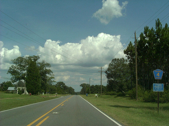
The first eastbound shield of County Road 4, posted as the highway leaves SR 97 at the rural community of Davisville.
08/24/02
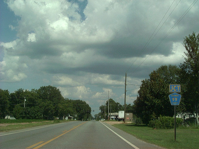
3.4 miles east from Davisville is the junction with Escambia County Road 99 at Bratt.
08/24/02
SR 4 keys shield posted as County Road 4 prepares to intersect U.S. 29 (Century Boulevard). This sign reflects a former overlap alongside U.S. 29 north to the current routing of SR 4 east into Santa Rosa County.
12/07/99
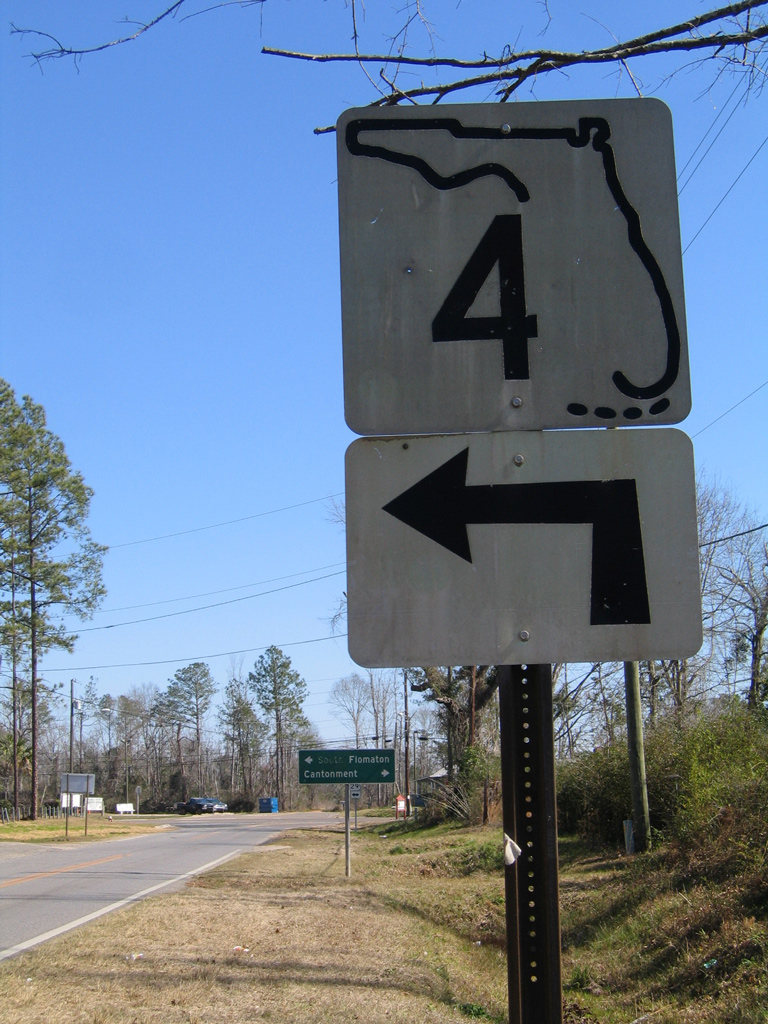
A second look at the keys shield for Florida on CR 4 east. This was the last of its style posted within Escambia County.
02/08/06
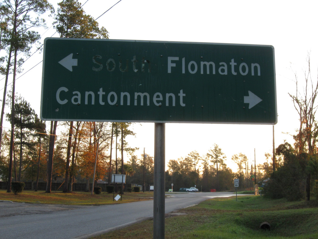
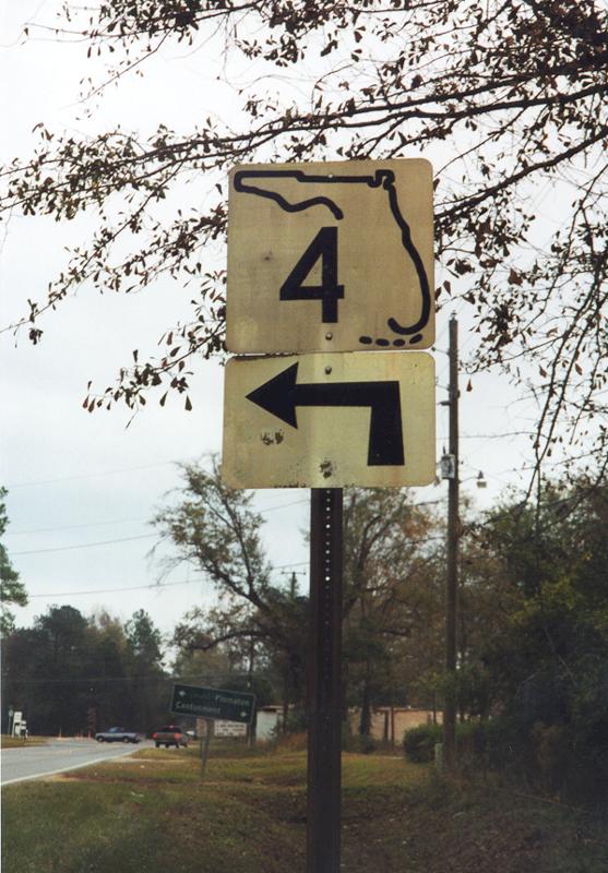
An older guide sign remains in place from when CR 4 was a state road. South Flomaton lies along U.S. 29 at the Alabama state line nearby. Cantonment is a 27 mile drive to the south.
12/19/09
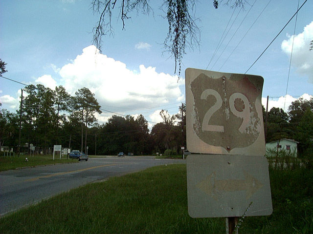
A formerly red and white U.S. 29 shield was posted at the east end of Escambia County Road 4.
08/24/04
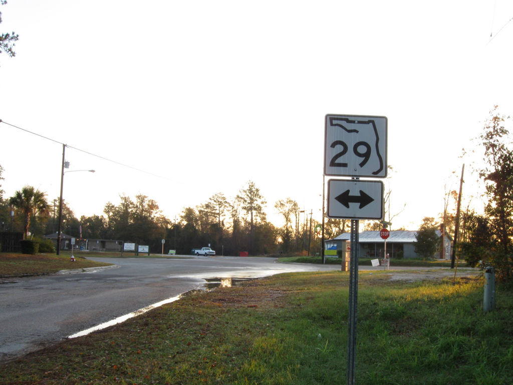
The old U.S. 29 shield was replaced erroneously with a State Road 29 shield by 2006. SR 29 exists, but in Collier County in Southwest Florida.
12/19/09
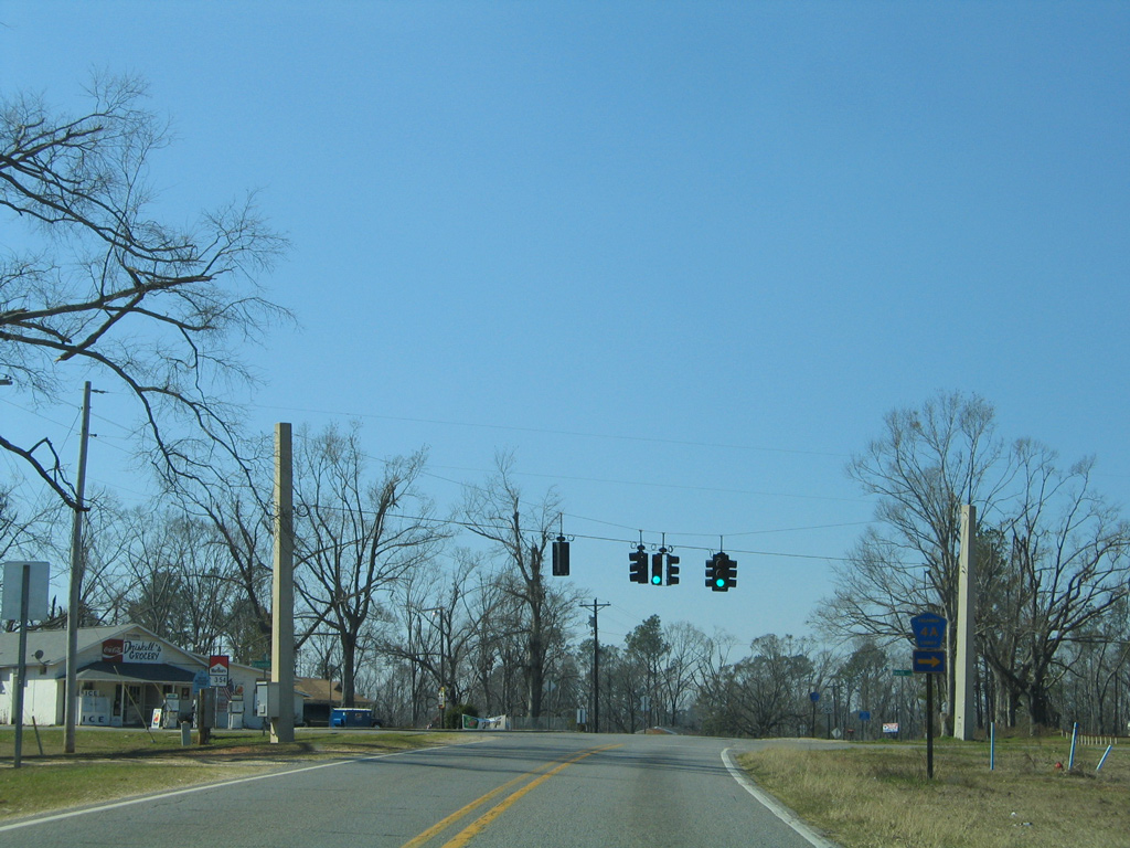
County Road 4 leaves the Century city limits to the north of Lake Stone. Drivers do not see a reassurance marker until after CR 4A.
02/08/06
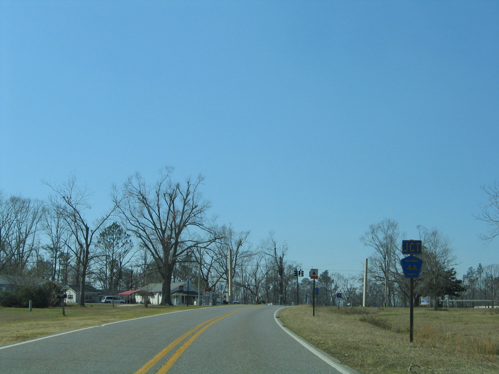
Curving southward, CR 4 approaches the west end of CR 4A at Byrneville.
02/08/06
The east-west branch of County Road 4A loops six miles north and east to Gandyville and U.S. 29 at South Flomaton.
02/08/06
Photo Credits:
- Alex Nitzman: 12/07/99, 08/24/02, 08/24/04, 02/08/06
- Brent Ivy: 12/19/09
Connect with:
Page Updated Wednesday March 12, 2014.