
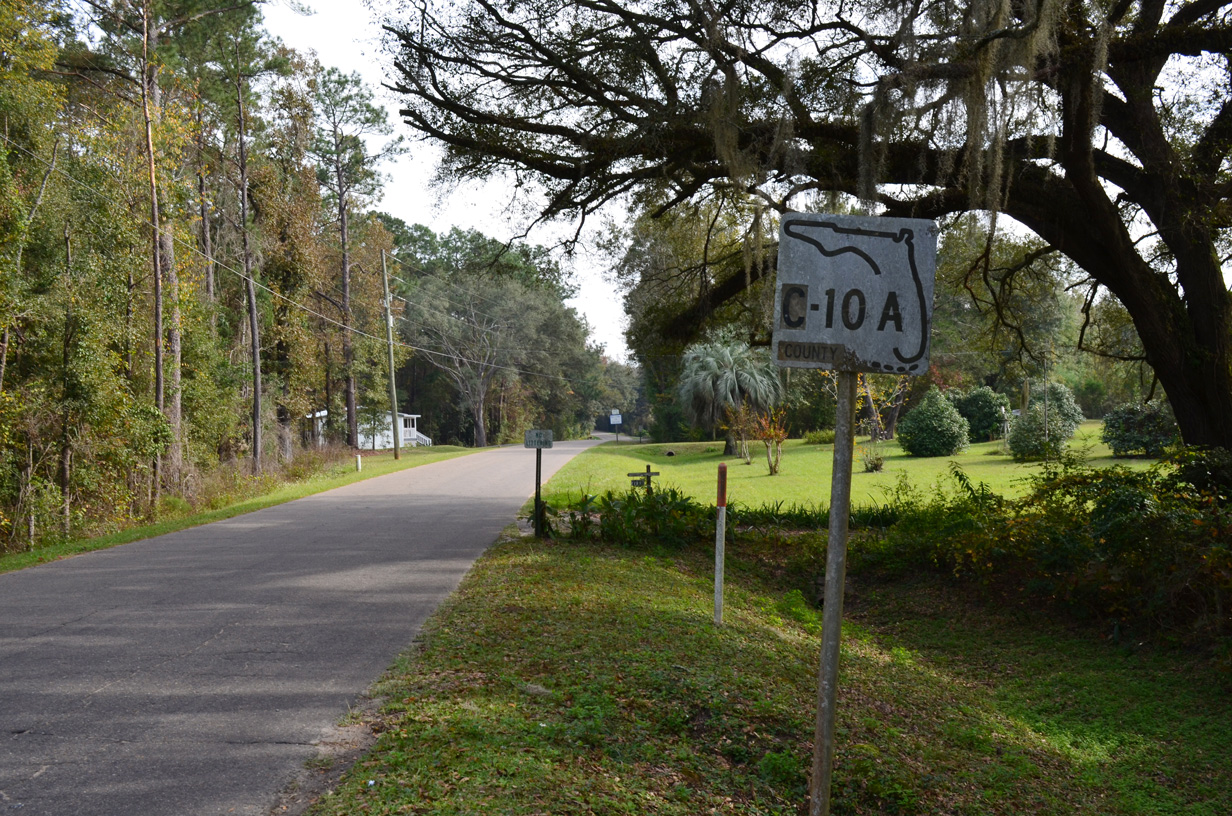
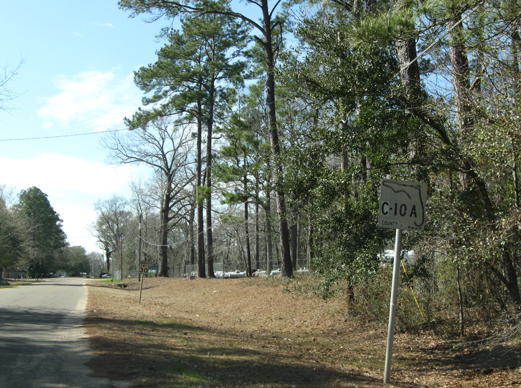
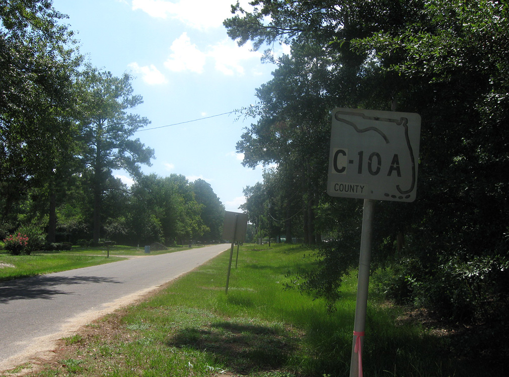
County Road 10A


There are multiple segments of County Road 10A posted across the Florida Panhandle and Big Bend region. Generally representing former alignments of U.S. 90 and the Old Spanish Trail, CR 10A generally serves local traffic or provides part of a business route through the cities and towns it serves. State Road 10 is the designation for U.S. 90 throughout most of the state.
Branches of County Road 10A:
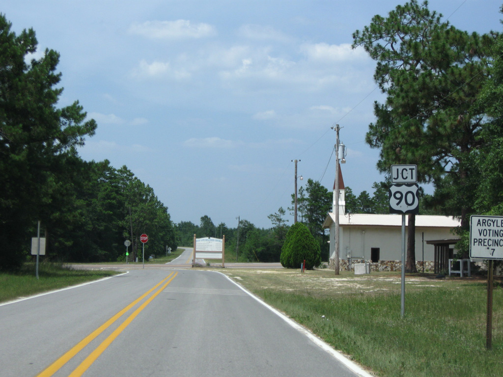
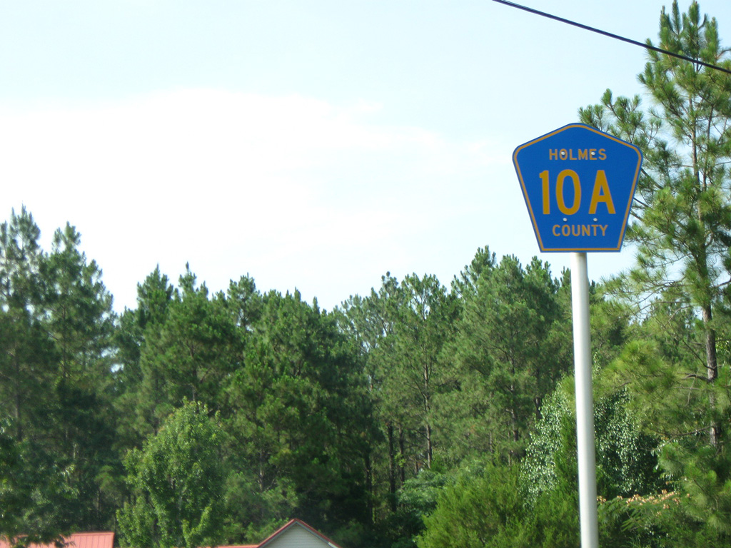
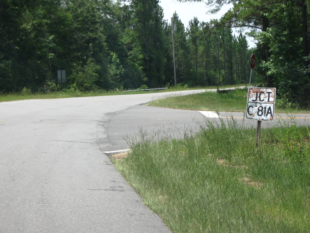
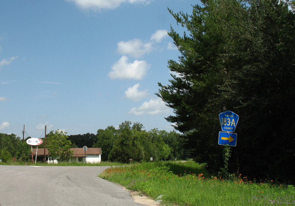
- 7.14 mile loop south along Old Highway 90 at Argyle and north to CR 183A and CR 81A in western Holmes County.
- 1.17 mile loop south from U.S. 90 along Skelton Street and Railroad Street through Ponce de Leon.
- 1.20 miles paralleling U.S. 90 to the north east from Ponce de Leon to Oak Grove Road.
- 2.30 mile loop along Old Cottondale Road and Milton Avenue south of U.S. 90 in Marianna.
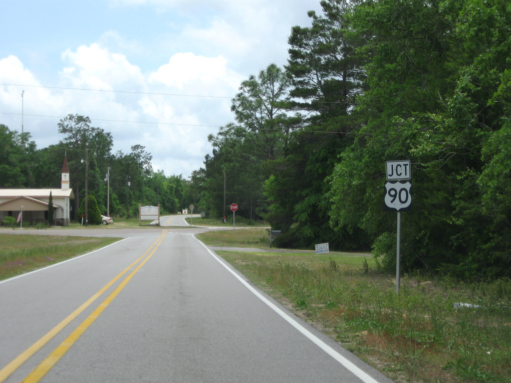
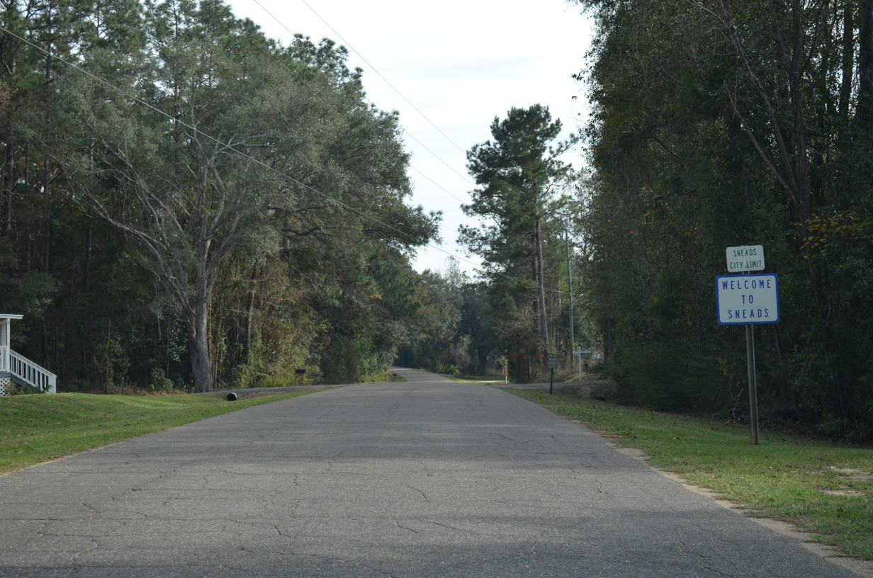
- 2.32 miles along Keevers Road and Old Spanish Trail parallel to U.S. 90 through Sneads.
- 1.75 miles connecting U.S. 129 (Ohio Avenue) with U.S. 90 (Howard Street) on Helvenston Street in Live Oak.
- 3.40 mile loop north from U.S. 90 into Wellborn.
There are also three sections of State Road 10A, two of which are stand alone routes from U.S. 90 at Lake City and in Jacksonville.
06/21/09
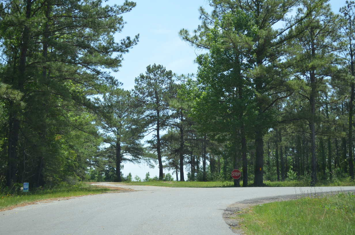
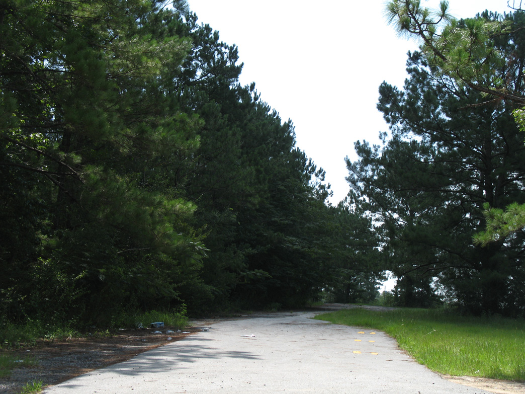
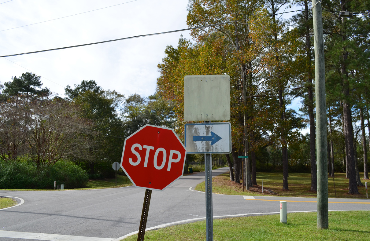
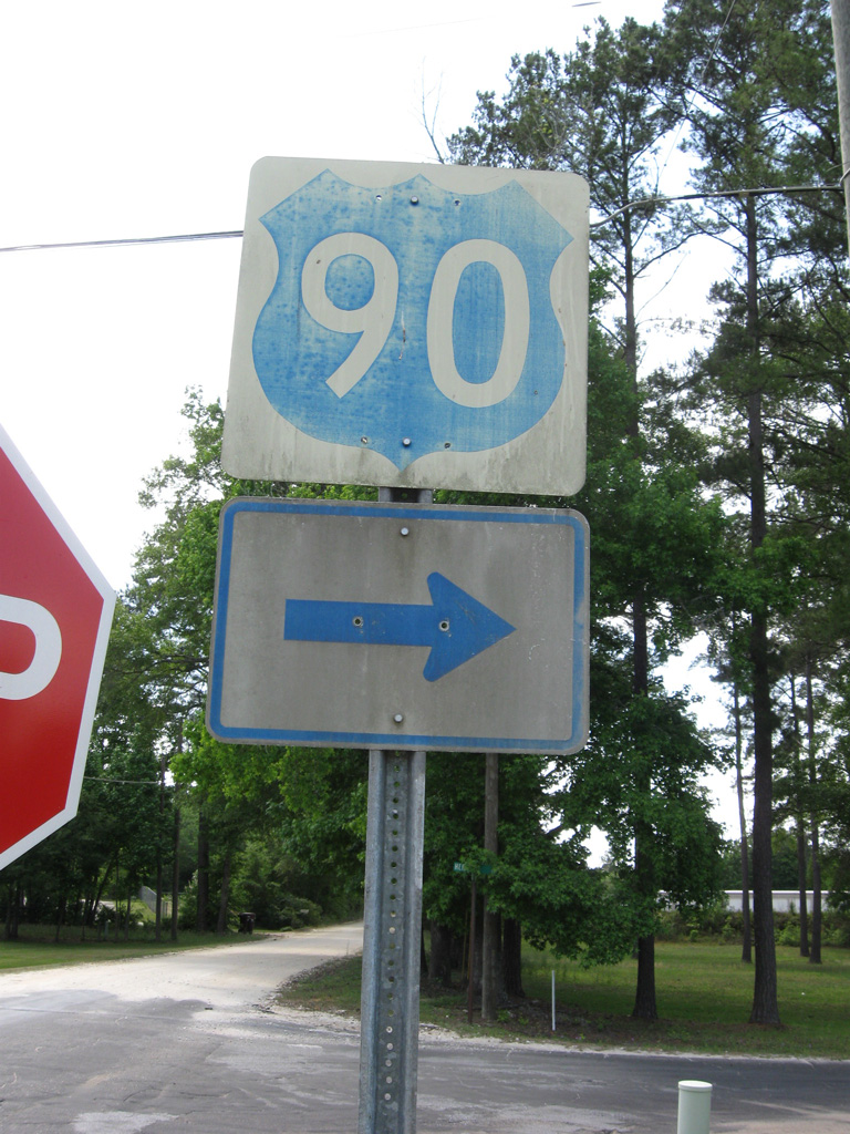
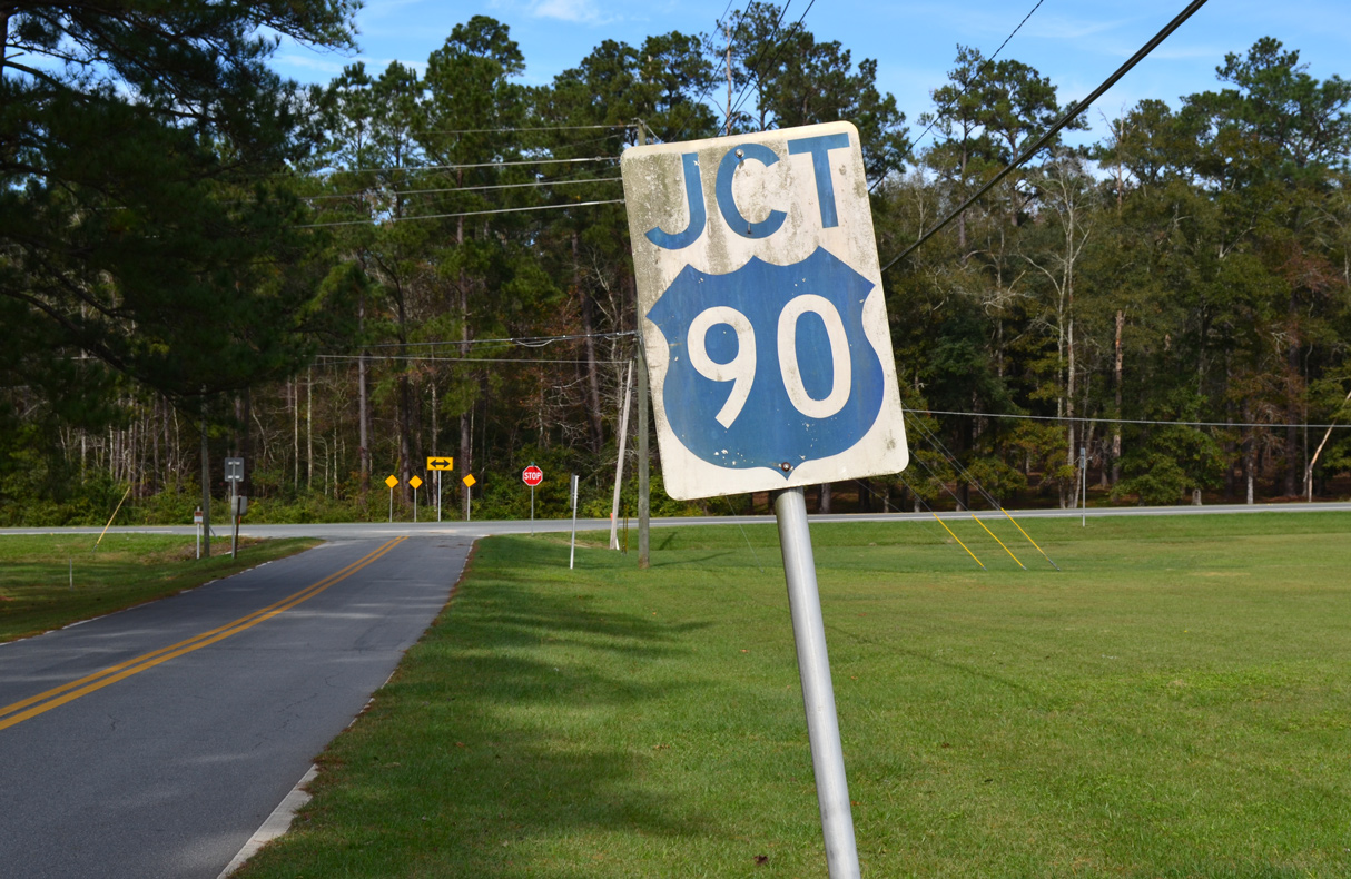
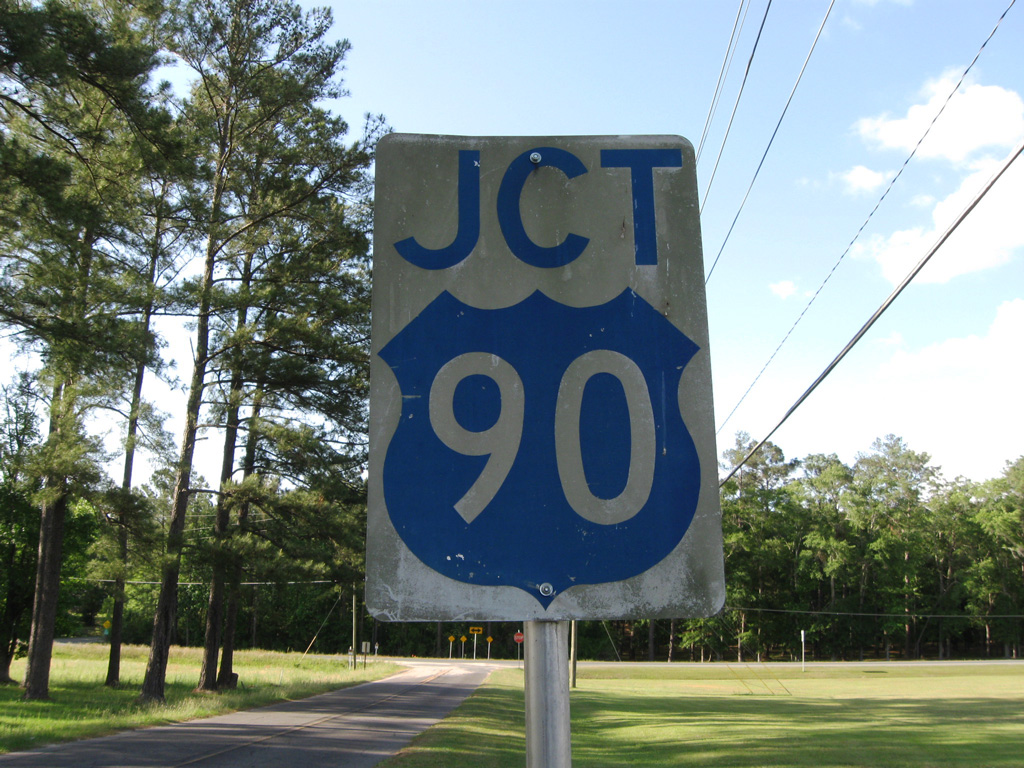
CR 10A crosses into Holmes County just north of U.S. 90 and Argyle.
05/16/16
05/16/16

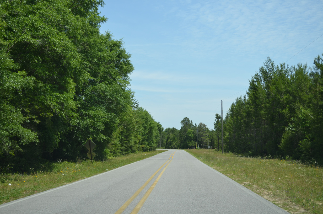
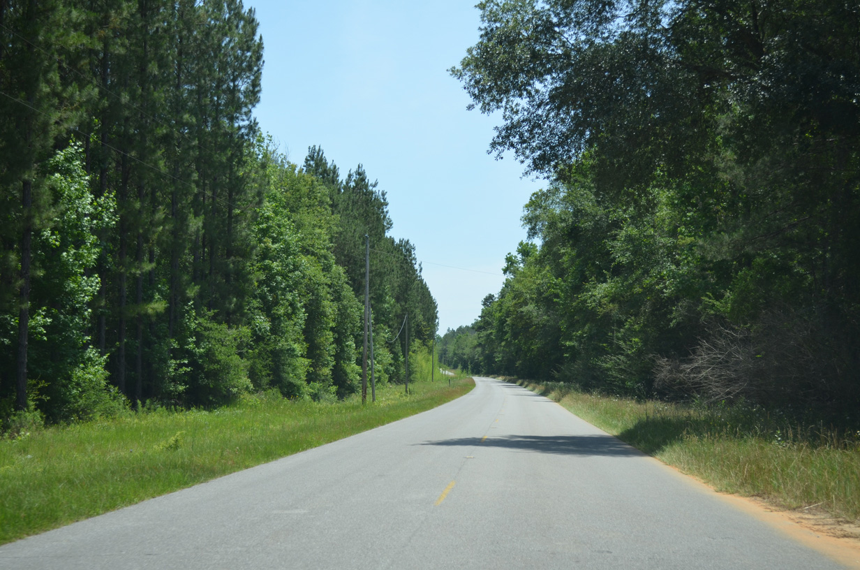
CR 10A navigates through a series of S-curves ahead of Bridge Creek.
05/16/16
05/16/16
05/16/16
07/19/07
05/16/16
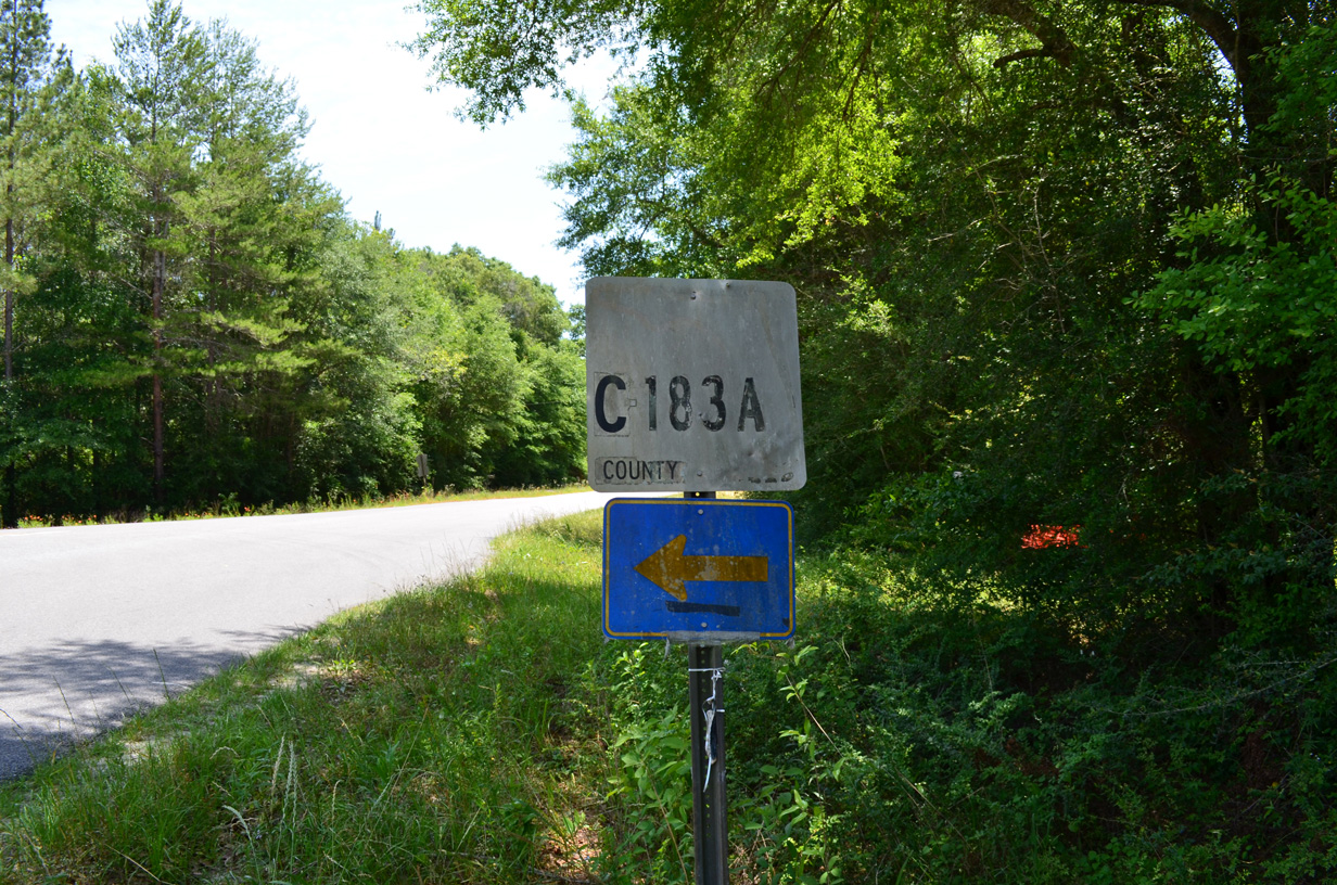
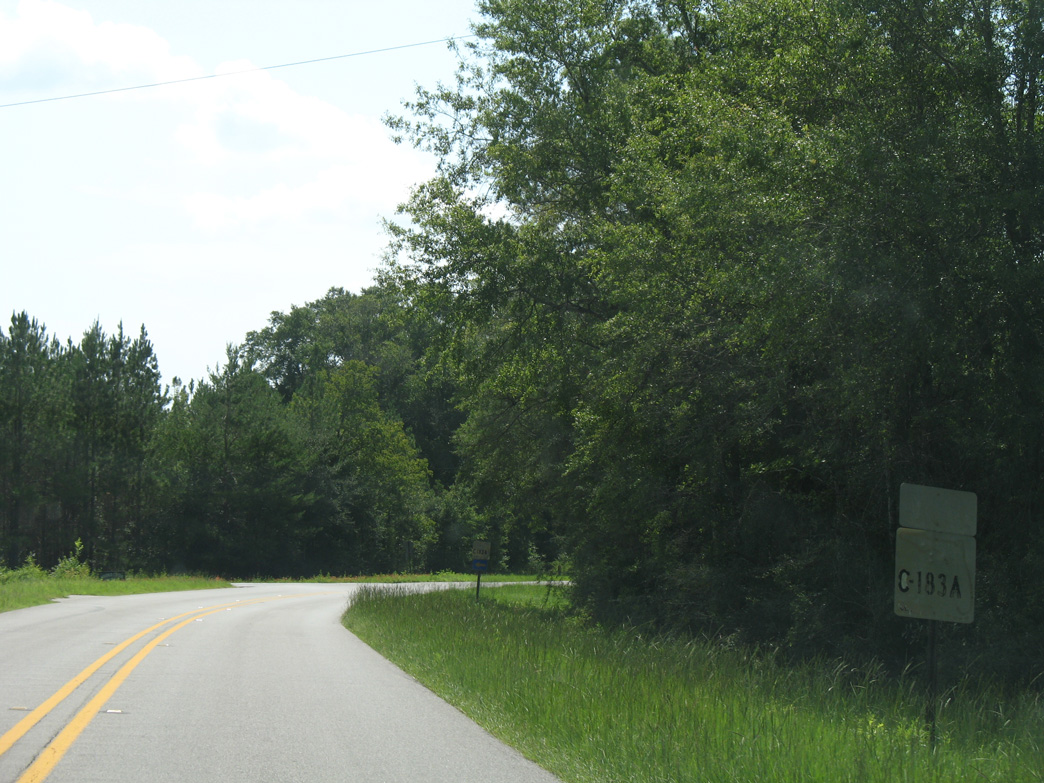
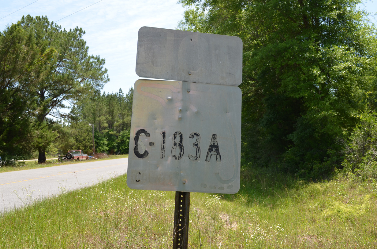
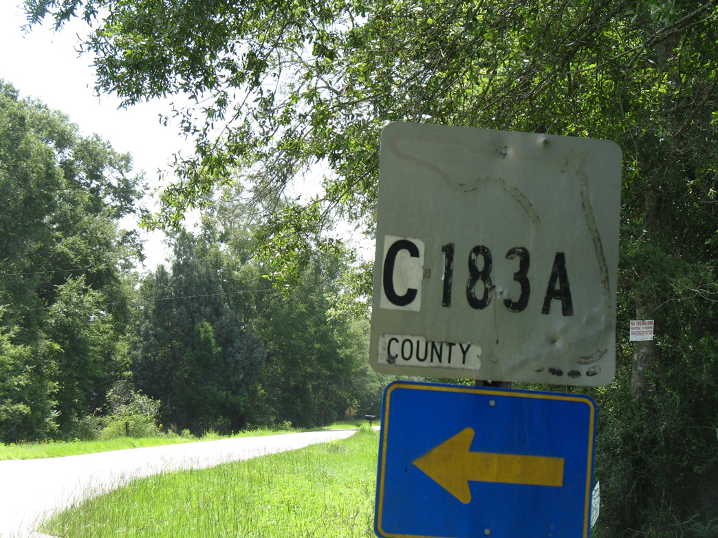
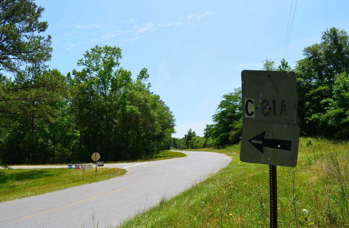
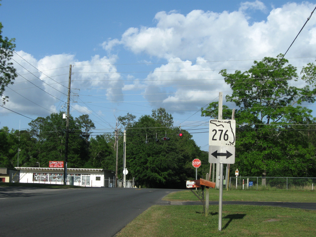
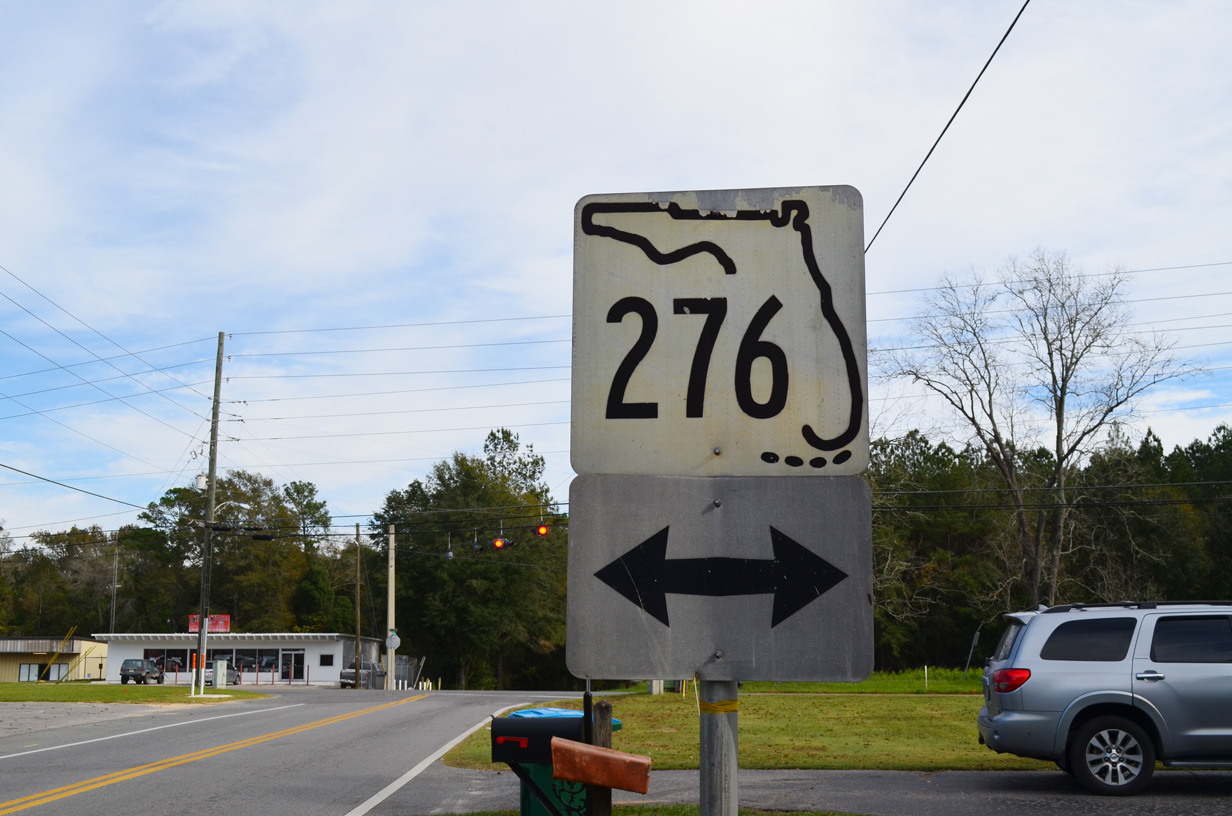
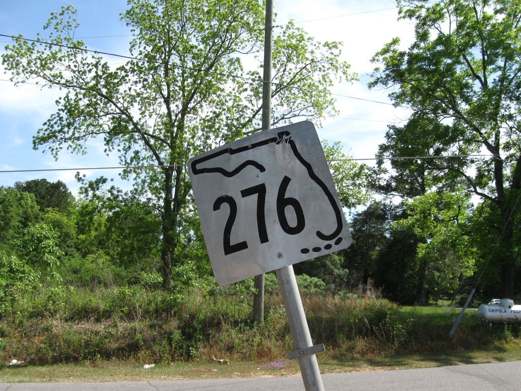
CR 183A stems 3.33 miles north from CR 10A to the Walton County line, where it becomes CR 183B.
05/16/16
05/16/16
07/19/07
05/16/16
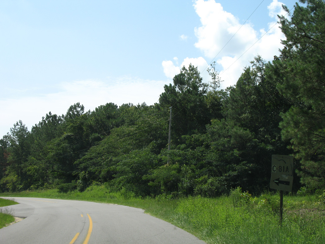
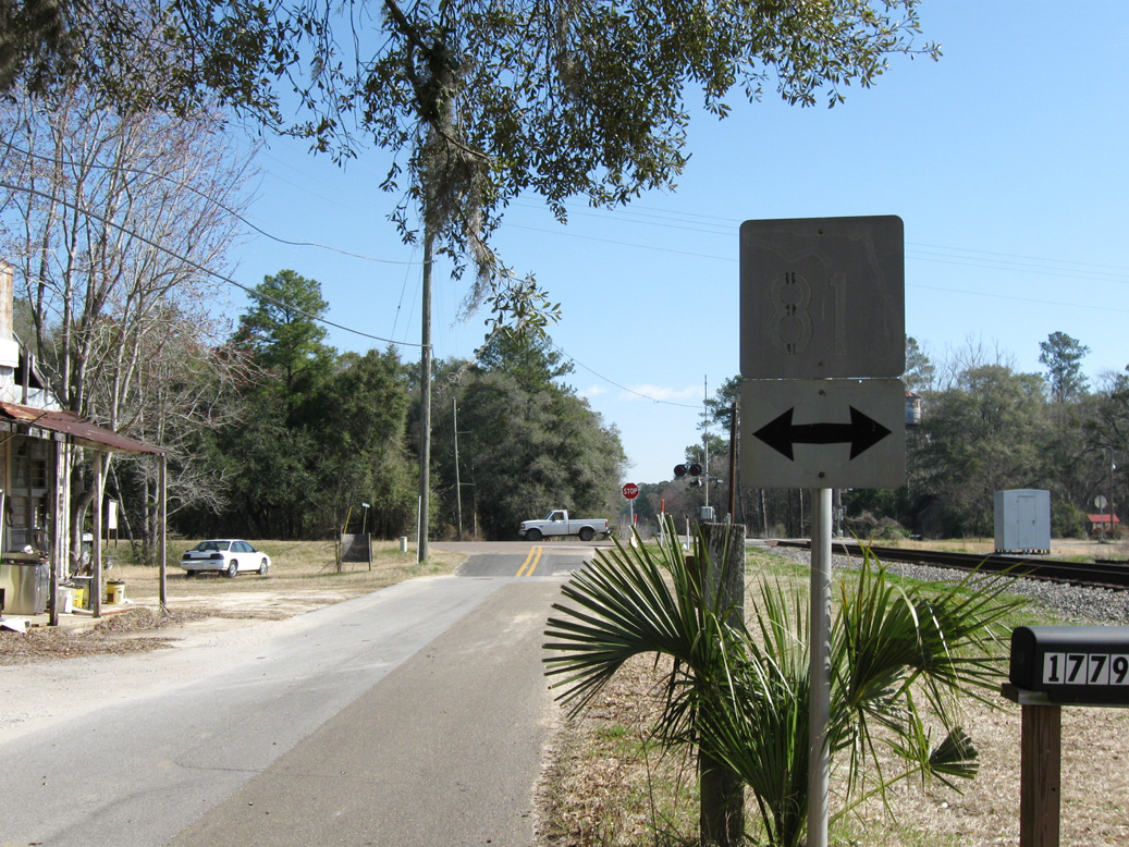
County Road 81 loops north and west from CR 10A into Walton County near Lake Cassidy.
07/19/07
07/19/07
05/16/16
05/16/16
CR 10A returns to U.S. 90 across from Baker Manning Loop.
05/16/16
05/16/16
A short section of abandoned pavement lies adjacent to the CR 10A intersection with U.S. 90.
07/19/07
07/19/07
CR 10A east at SR 81 along Railroad Street in Ponce de Leon.
02/21/10
02/21/10
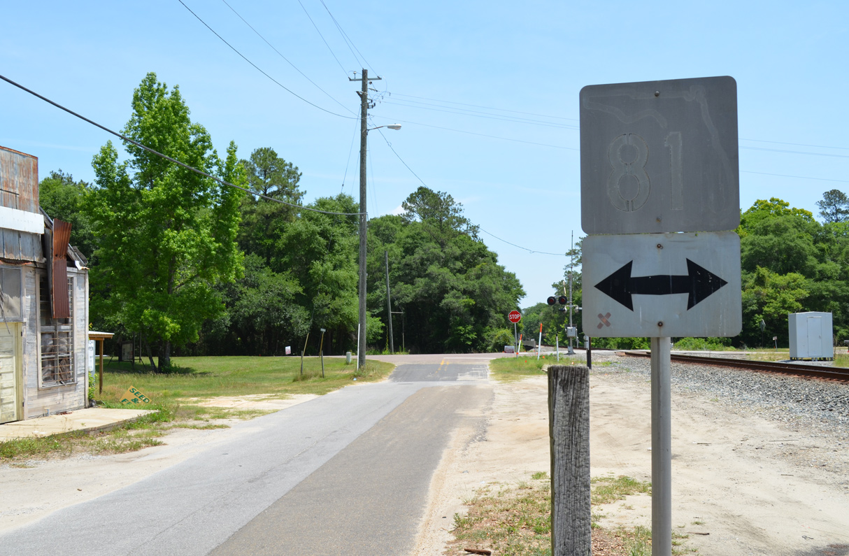
The keys shield for SR 81 was date stamped 11-24-65.
05/16/16
05/16/16
The eastern branch of Holmes County Road 10 follows Old U.S. 90 to the north of Wolf Bay. This is the first marker eastbound.
06/21/09
06/21/09
06/21/09
07/19/07
05/02/09
CR 10A follows Old Cottondale Road east from Heritage Road to the city of Marianna.
11/24/15
11/24/15
05/01/09
11/24/15
05/02/09
11/24/15
The 2.32 mile loop of CR 10A through Sneads branches southeast from U.S. 90 ahead of Gay Avenue.
11/24/15
11/24/15

11/24/15
11/24/15
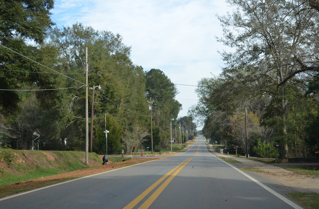
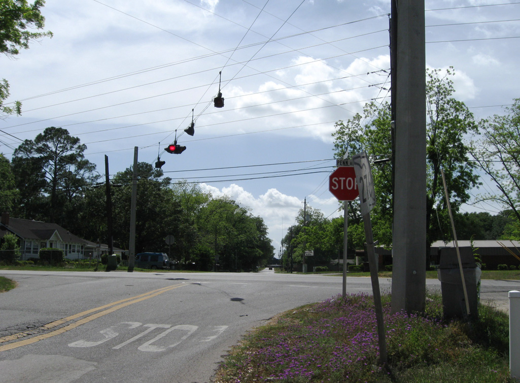
CR 10A (Old Spanish Trail) advances east to O'sHara Avenue. The ensuing intersection is with River Road north to CR 271.
11/24/15
11/24/15
CR 10A in Sneads returns to U.S. 90 east of Legion Road.
11/24/15
11/24/15
11/24/15
The first marker for CR 10A along Old Spanish Trail through Sneads was this keys shield posted after Legion Road.
02/21/10
02/21/10
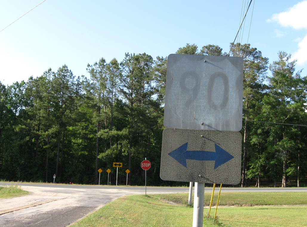
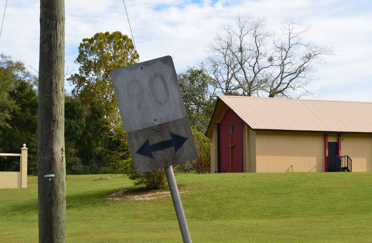
The vintage S-10A shield on Old Spanish Trail westbound in Sneads was replaced by 2013.
07/03/09
07/03/09
05/02/09
05/02/09
Westbound CR 10A returns to U.S. 90 via Heritage Road north from Old Cottondale Road in Marianna.
11/24/15
11/24/15
The vintage shield assembly for U.S. 90 at Heritage Road was manufactured in 1978/79.
05/02/09
05/02/09
Heritage Road north leads directly to U.S. 90.
11/24/15
11/24/15
05/01/09
U.S. 90 leads east back into Marianna along Lafayette Street and west to Cottondale.
05/01/09
05/01/09
11/24/15
Photo Credits:
- Brent Ivy: 05/02/09, 06/21/09, 07/03/09, 02/21/10
- Alex Nitzman: 07/19/07, 11/24/15, 05/16/16
- ABRoads: 05/01/09
Connect with:
Page Updated Friday April 17, 2020.