
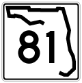
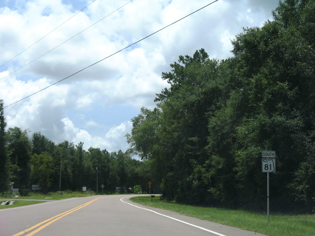
State Road 81
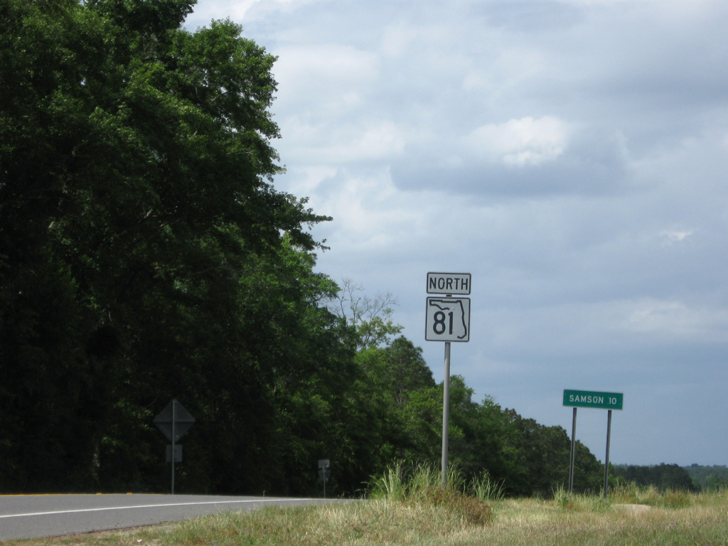
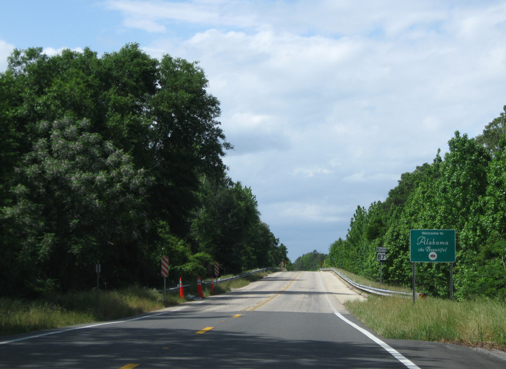
State Road 81 constitutes a 39.47 mile long highway from SR 20 at Bruce to Ponce de Leon and the Alabama state line north of Royals Crossroads. SR 81 becomes Alabama State Route 87 north to Samson.
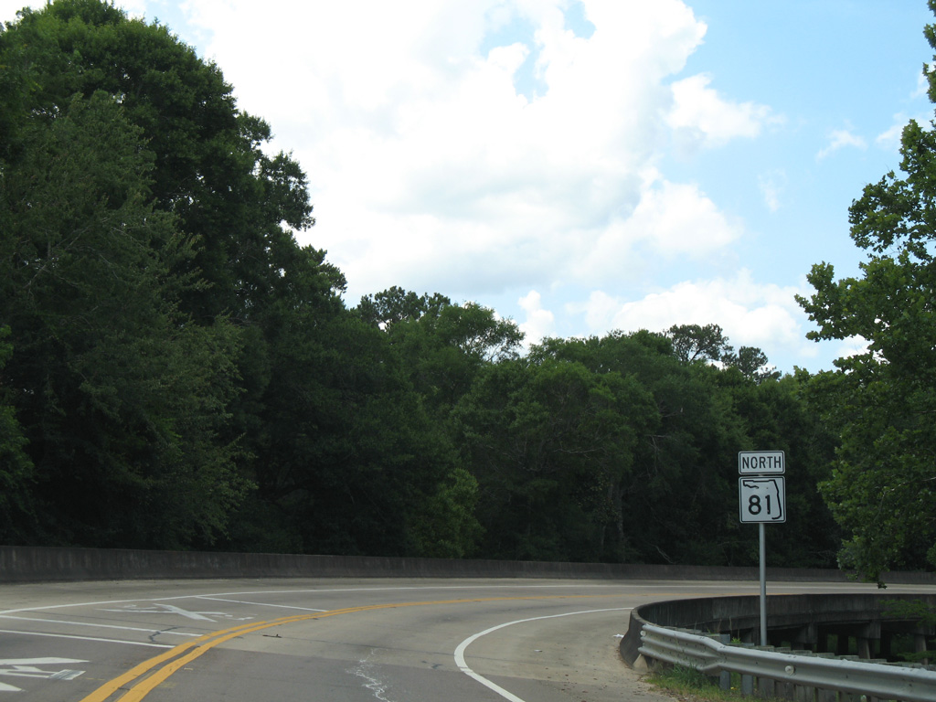
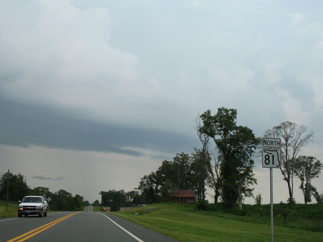
 North
North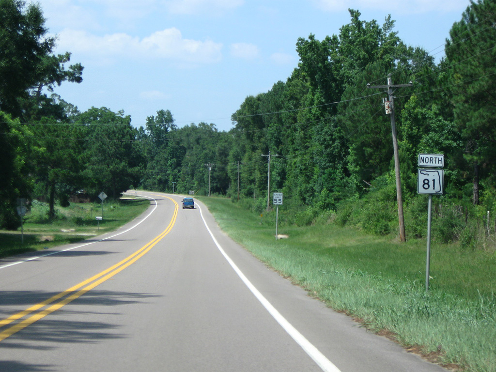
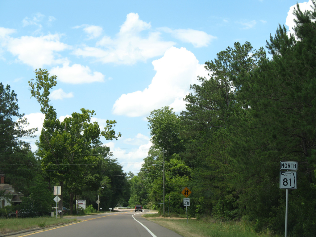
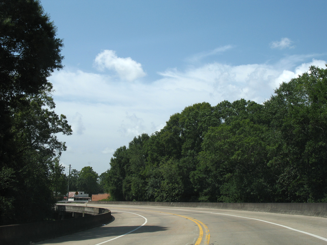
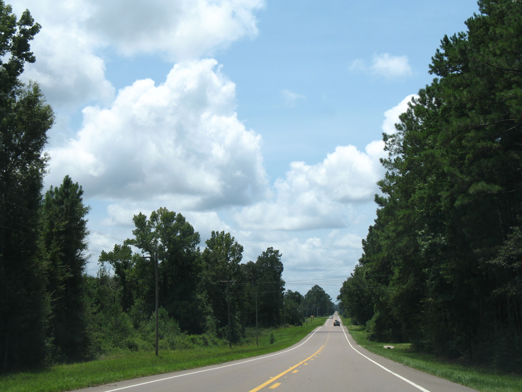
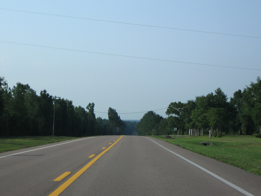
SR 81 north between CR 183 and Camp Branch.
06/21/09
06/21/09
06/21/09
06/21/09
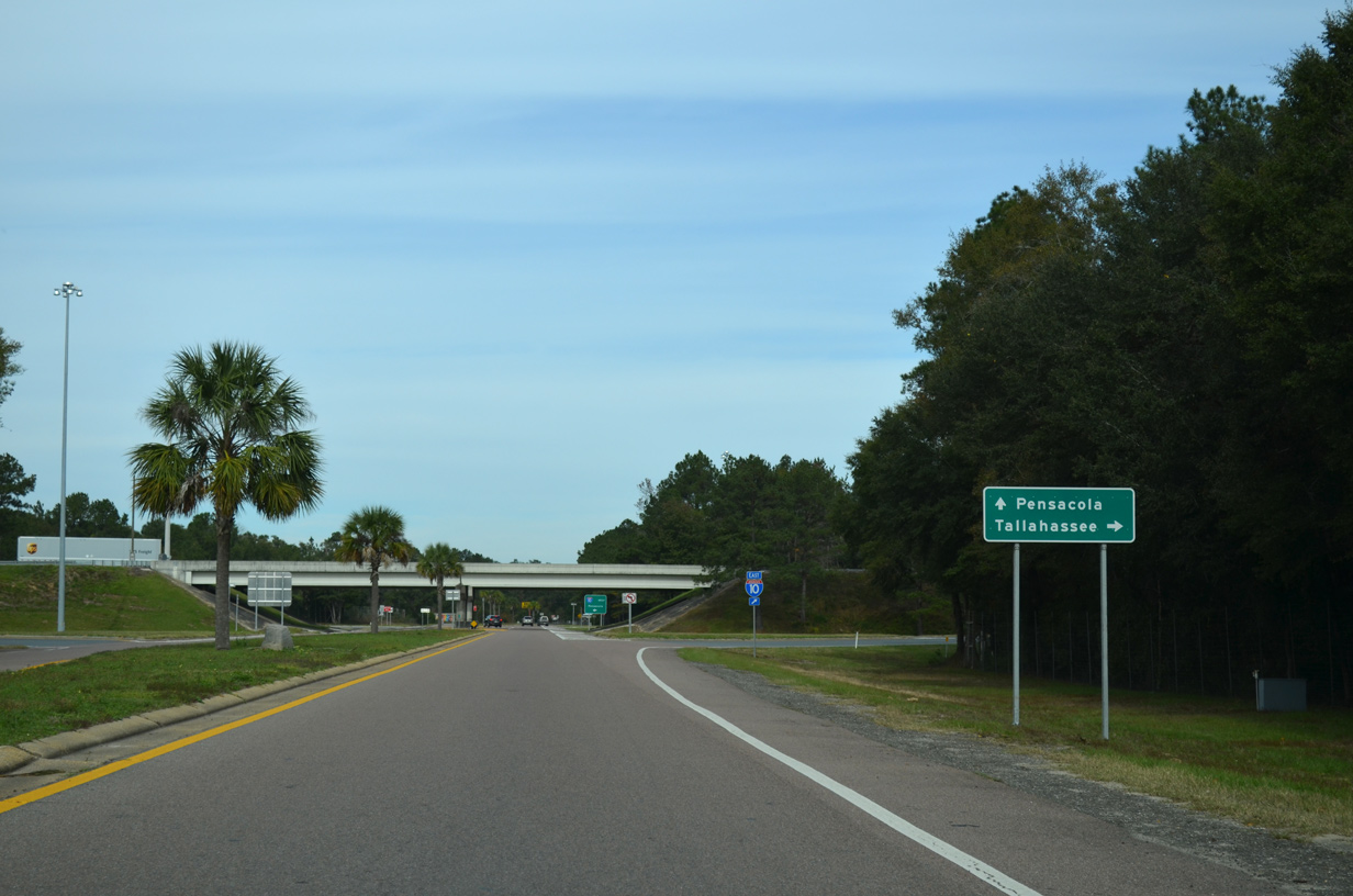
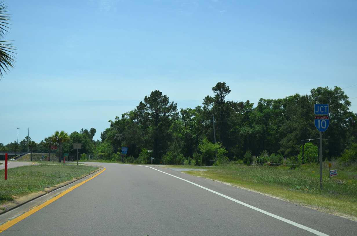
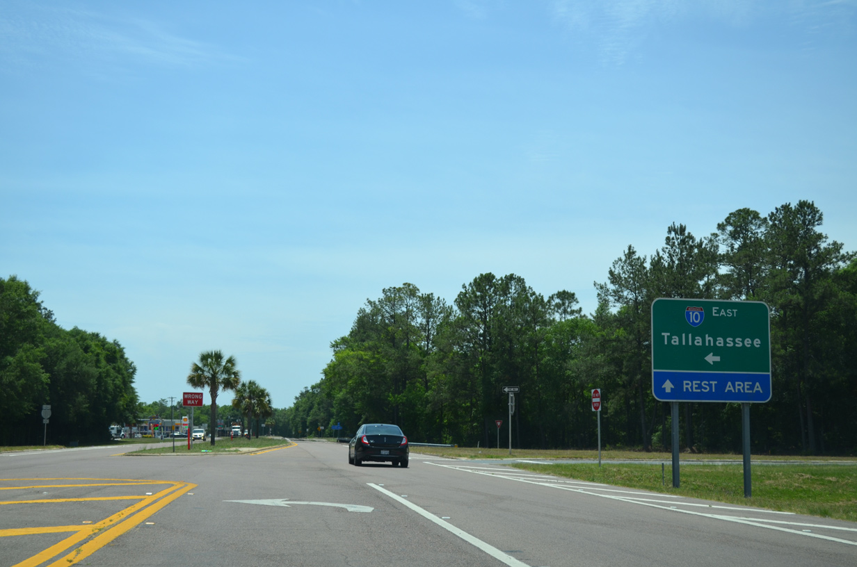
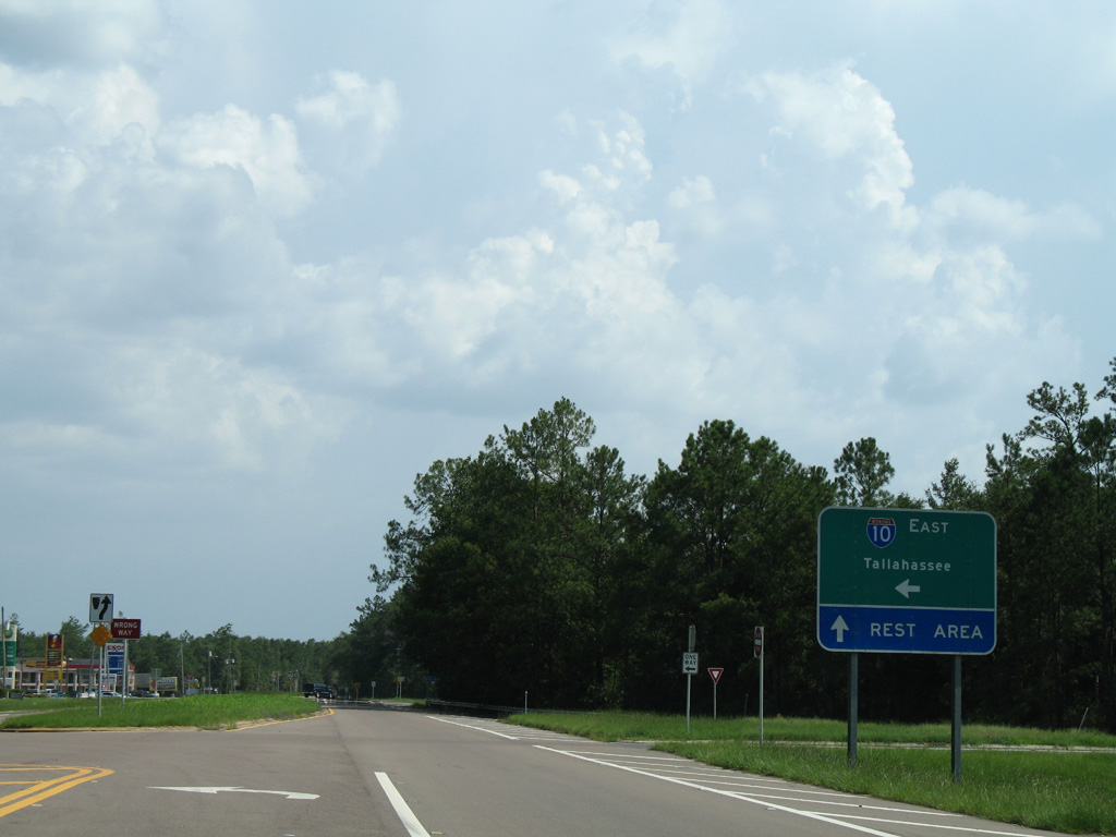
SR 81 enters a diamond interchange (Exit 96) with Interstate 10 just north of the off freeway rest area.
11/24/15
11/24/15
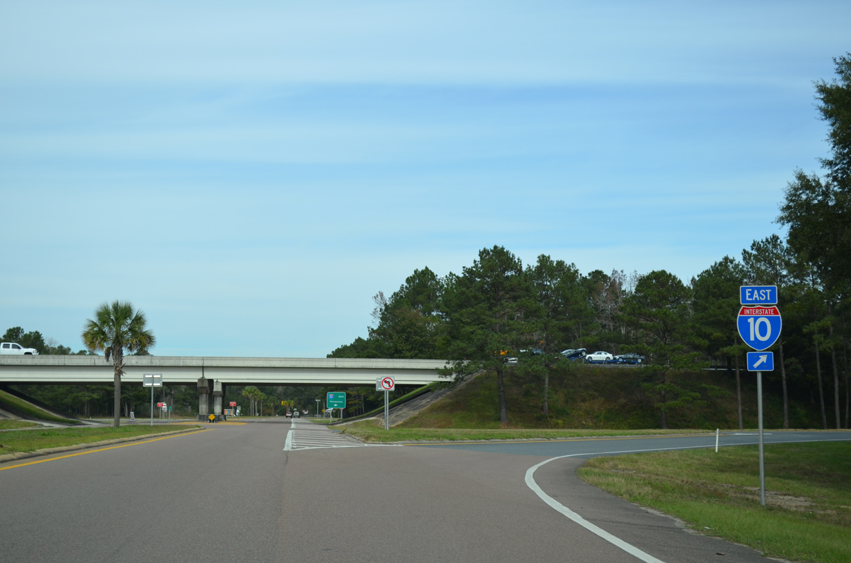
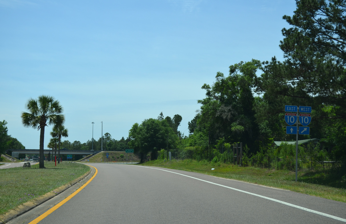
The entrance ramp for I-10 to Marianna, Quincy and Tallahassee departs from SR 81 northbound.
11/24/15
11/24/15
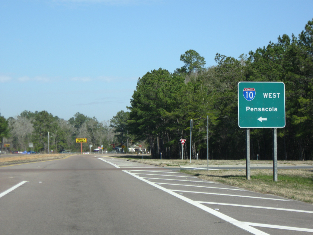
West from SR 81 and DeFuniak Springs, I-10 travels toward Pensacola across the northern periphery of Eglin Air Force Base.
02/21/10
02/21/10
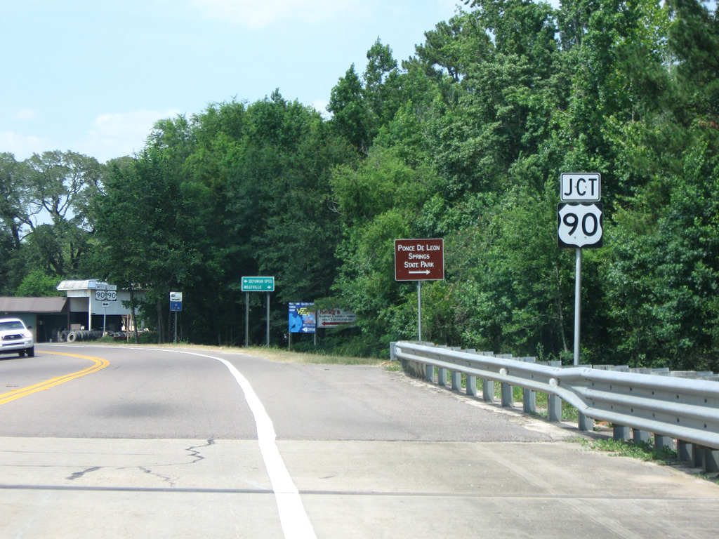
SR 81 continues north from Interstate 10 into Ponce De Leon.
06/11/06
06/11/06
SR 81 crosses Sandy Creek just beyond Railroad Street (CR 10A) in Ponce de Leon.
06/11/06
06/11/06
06/21/09
06/11/06
06/21/09
06/21/09
06/21/09
06/21/09
02/21/10
07/13/07
07/13/07
07/13/07
07/13/07
07/13/07
07/13/07
07/13/07
07/13/07
05/01/09
05/01/09
South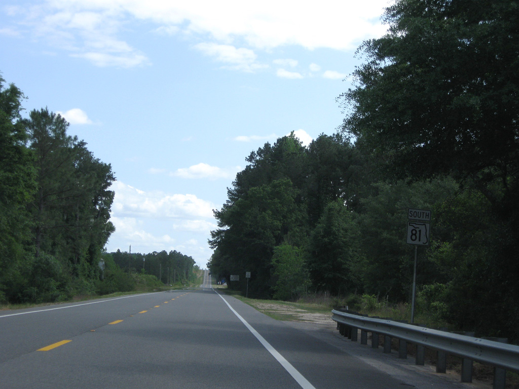
05/01/09
05/01/09
05/01/09
05/01/09
 South
South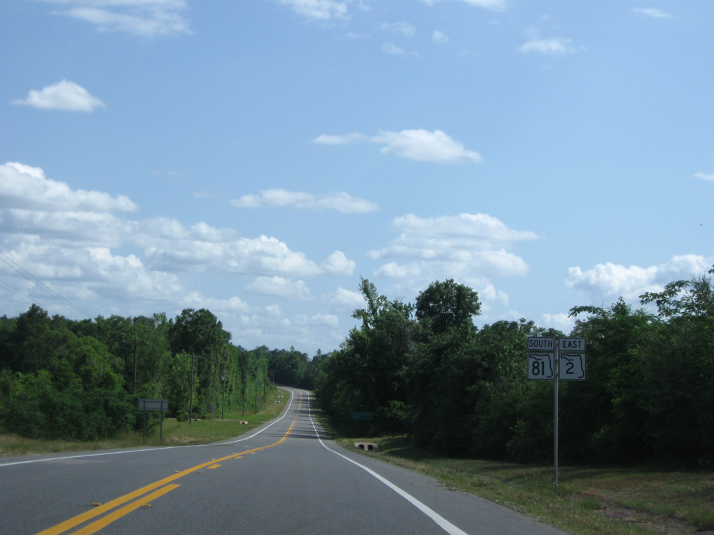
05/01/09
05/01/09
05/01/09
05/01/09
05/01/09
05/01/09
05/01/09
05/01/09
05/01/09
05/01/09
05/01/09
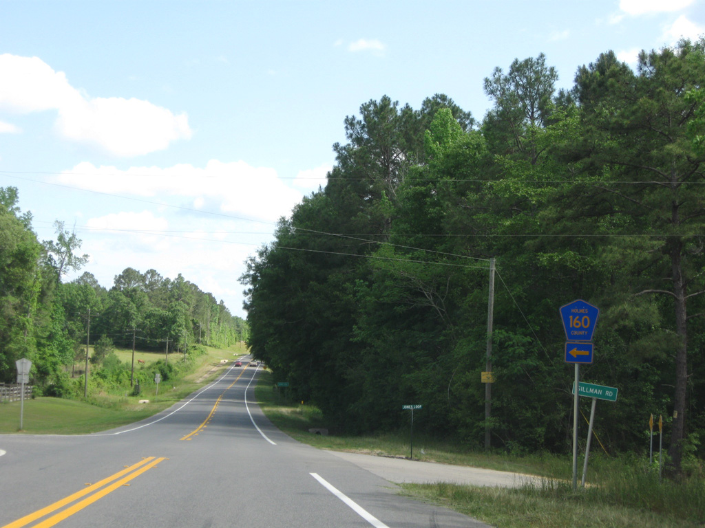
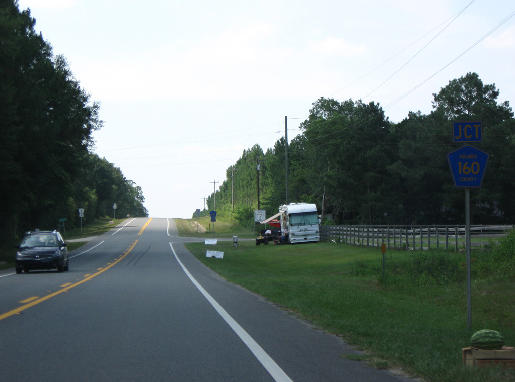
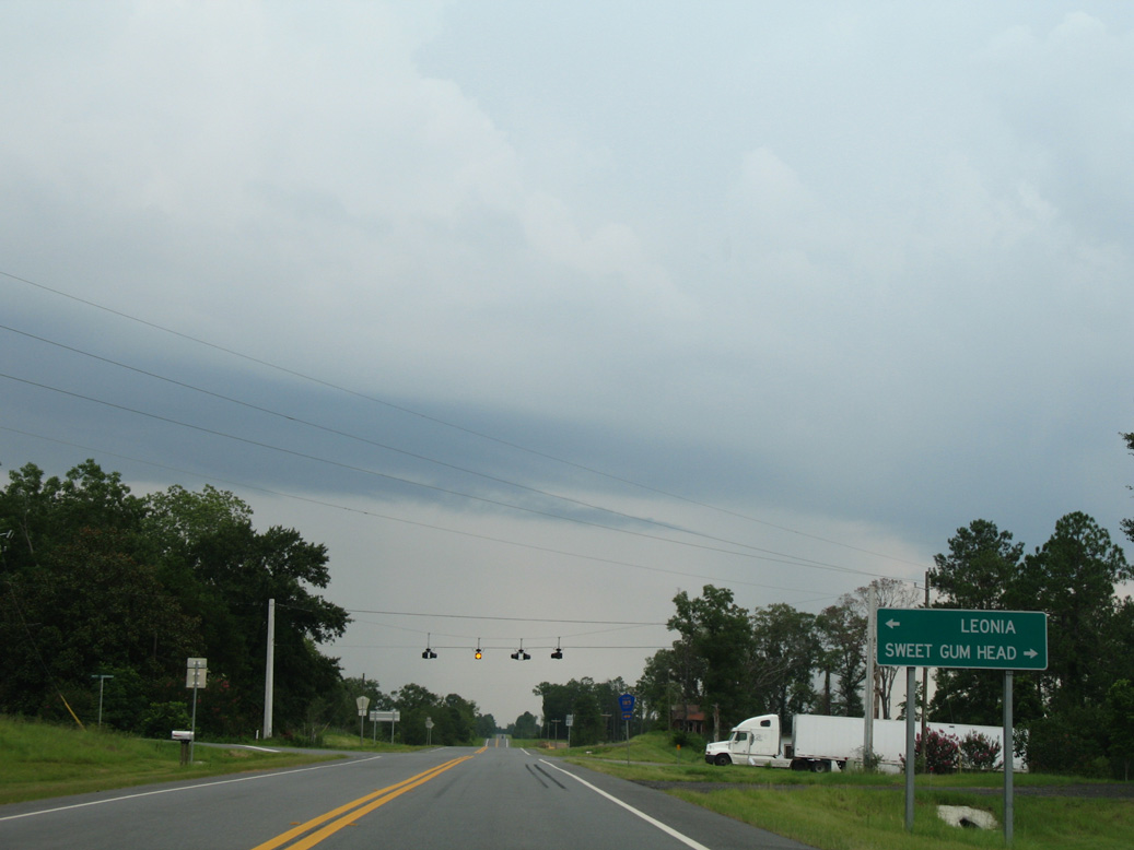
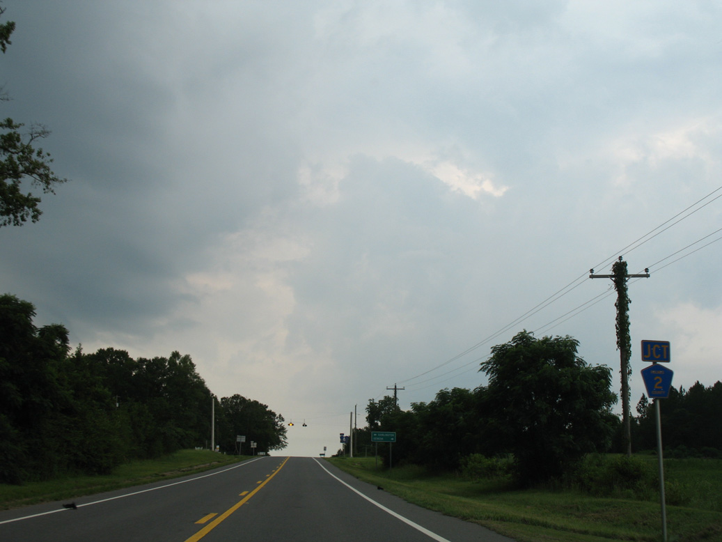
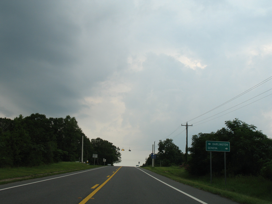
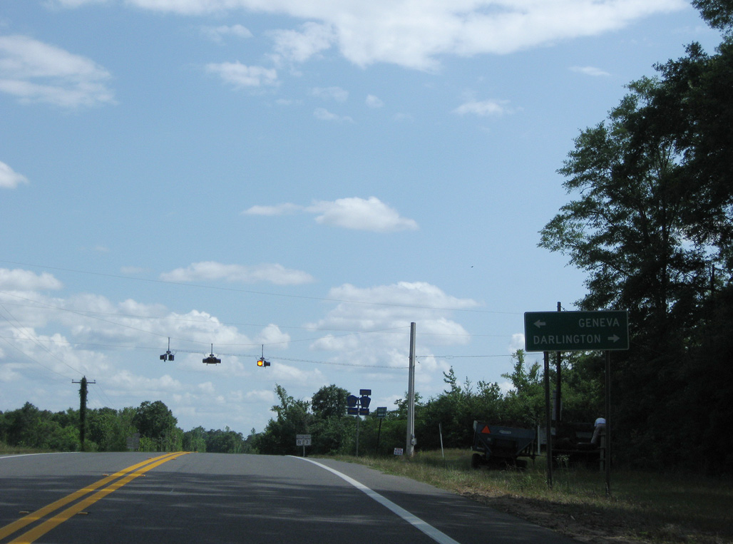
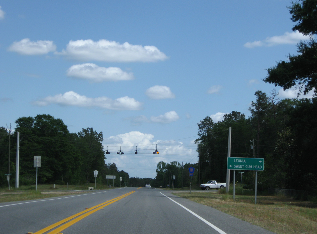
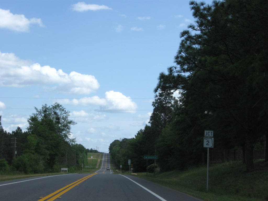
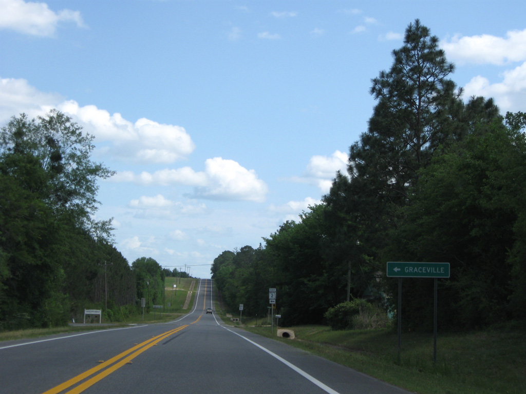
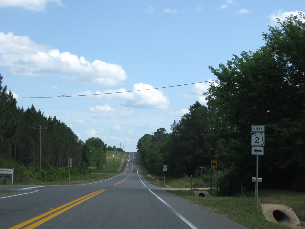
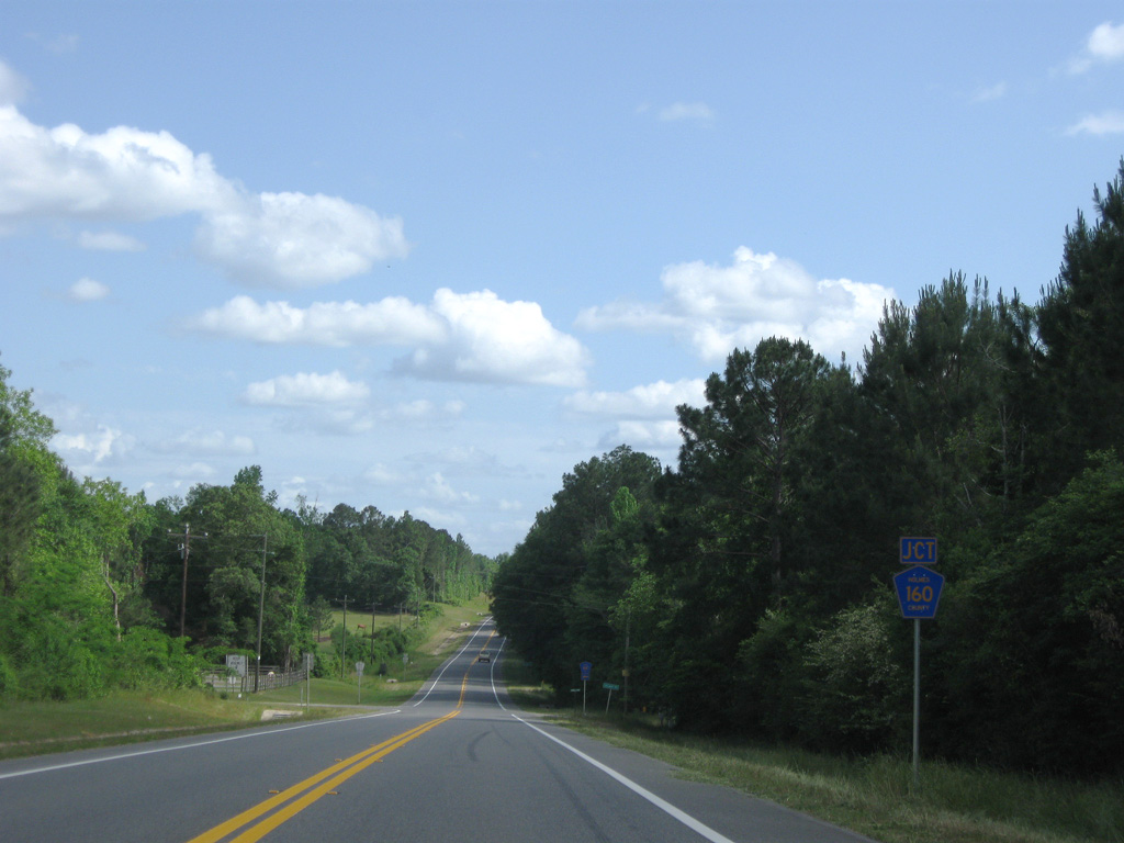
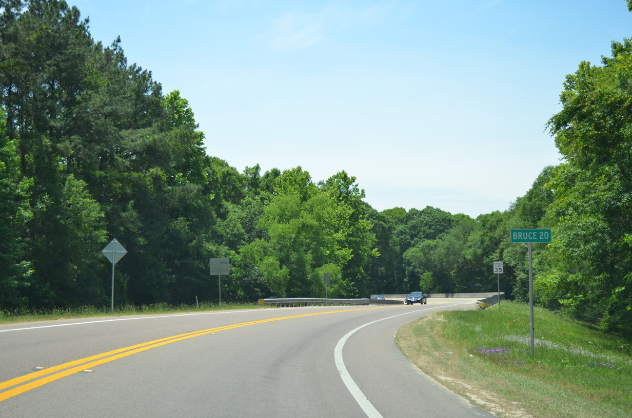
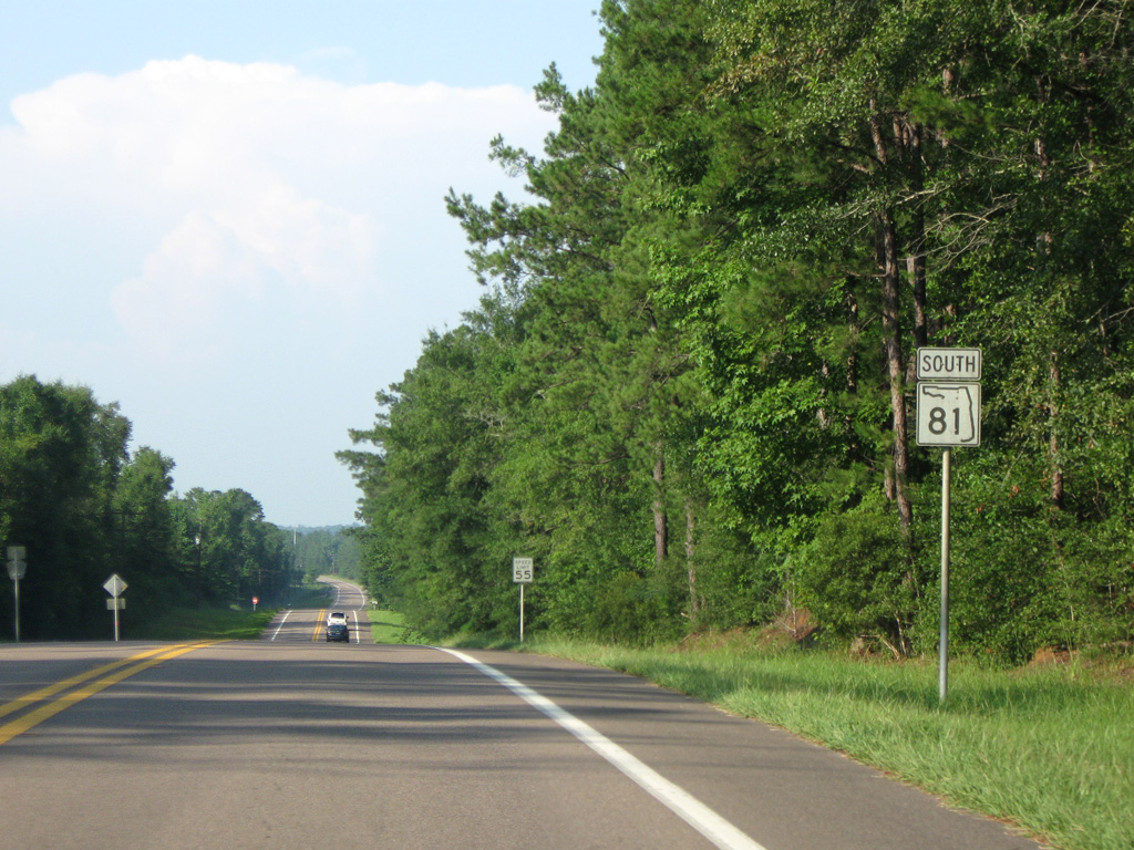
CR 160 links SR 81 with CR 179A at Barker Store, 2.94 miles to the east.
05/01/09
05/01/09
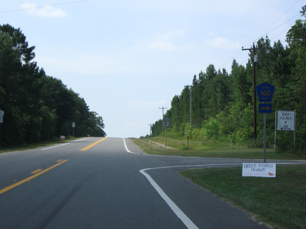
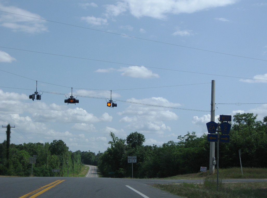
06/21/09
06/21/09
05/02/09
05/02/09
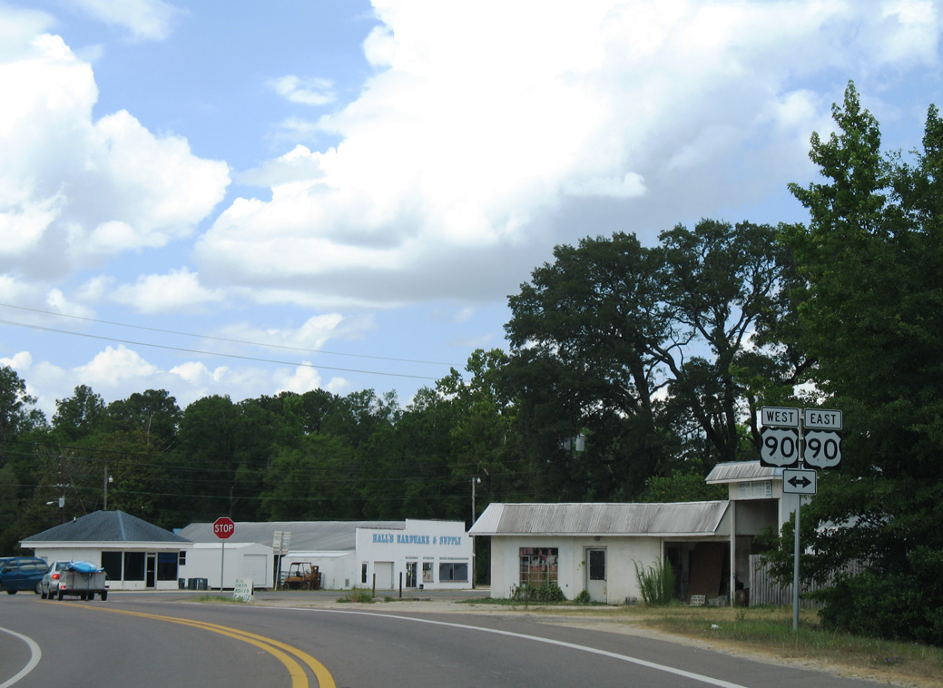
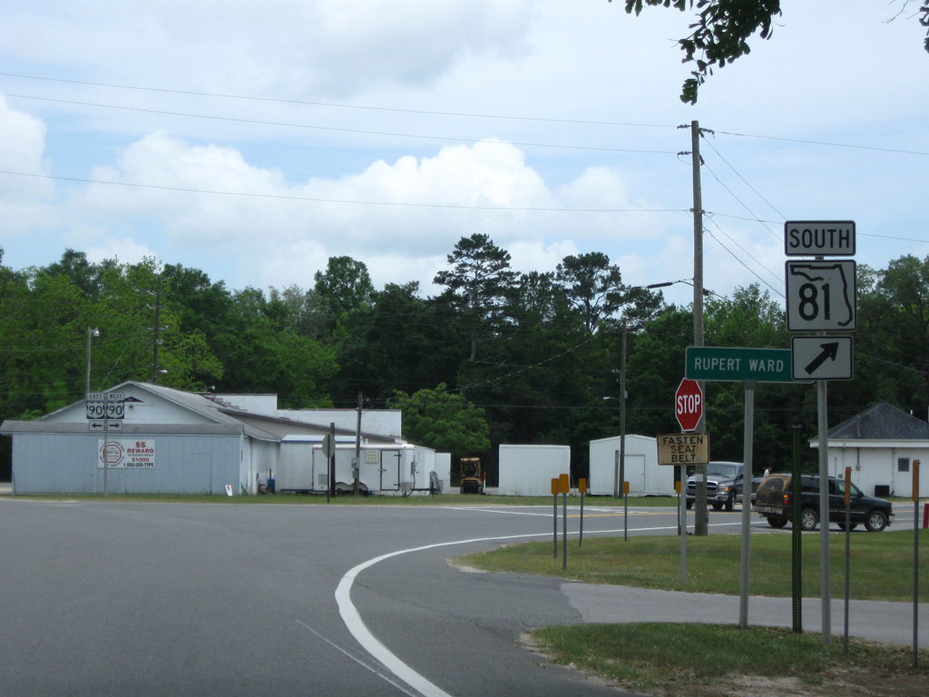
Confirming marker posted south of U.S. 90 at Ponce de Leon.
05/16/16
05/16/16
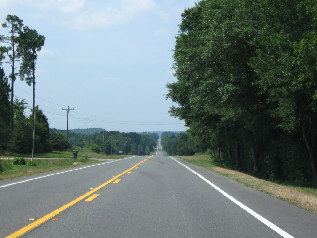
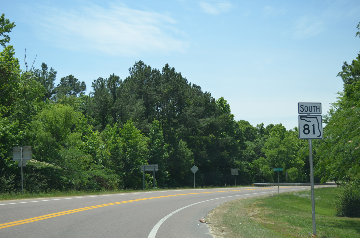
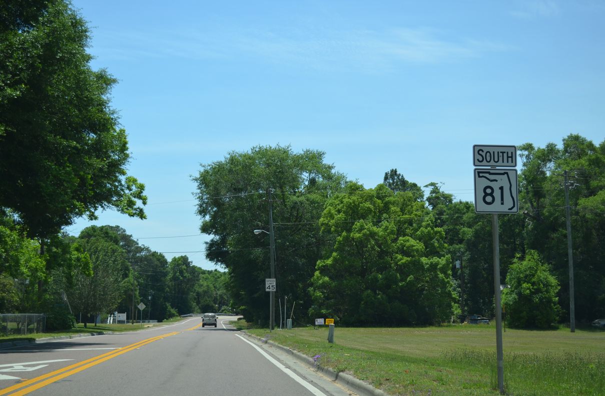
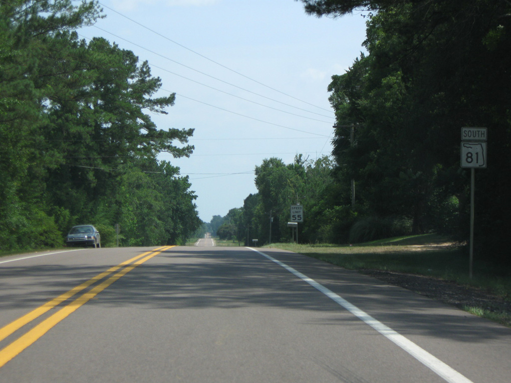
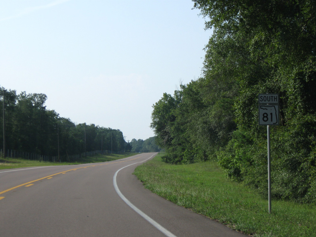
20 miles of SR 81 south remain between U.S. 90 and SR 20 at Bruce.
05/16/16
05/16/16
SR 81 curves across Sandy Creek between U.S. 90 and CR 10A (Railroad Street) in Ponce de Leon.
07/19/07
07/19/07
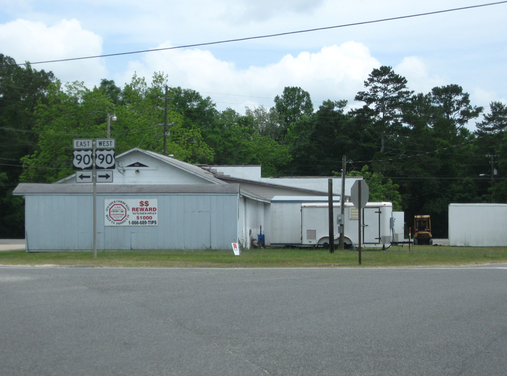
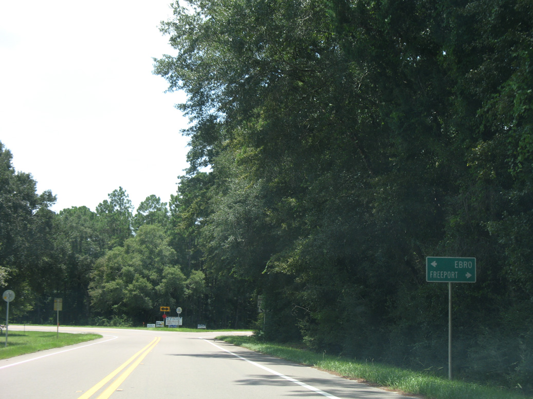
CR 10A is unmarked from SR 81 in both directions. Following the old alignment of U.S. 90, CR 10A runs west along Railroad and Skelton Streets.
05/16/16
05/16/16
05/16/16
05/16/16

05/16/16
05/16/16
Replaced guide sign for the eastbound on-ramp to Interstate 10.
08/07/06
08/07/06
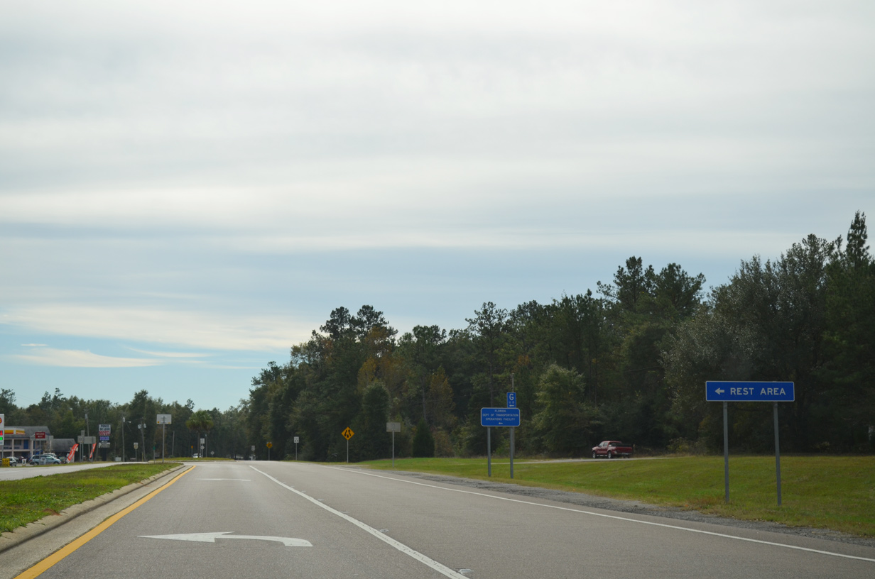
An off freeway rest area for Interstate 10 is located along Sunrise Circle east of SR 81.
11/24/15
11/24/15
08/03/08
08/03/08
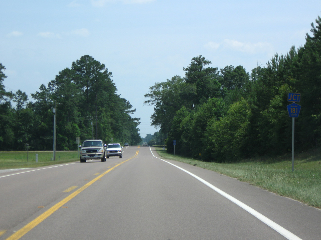
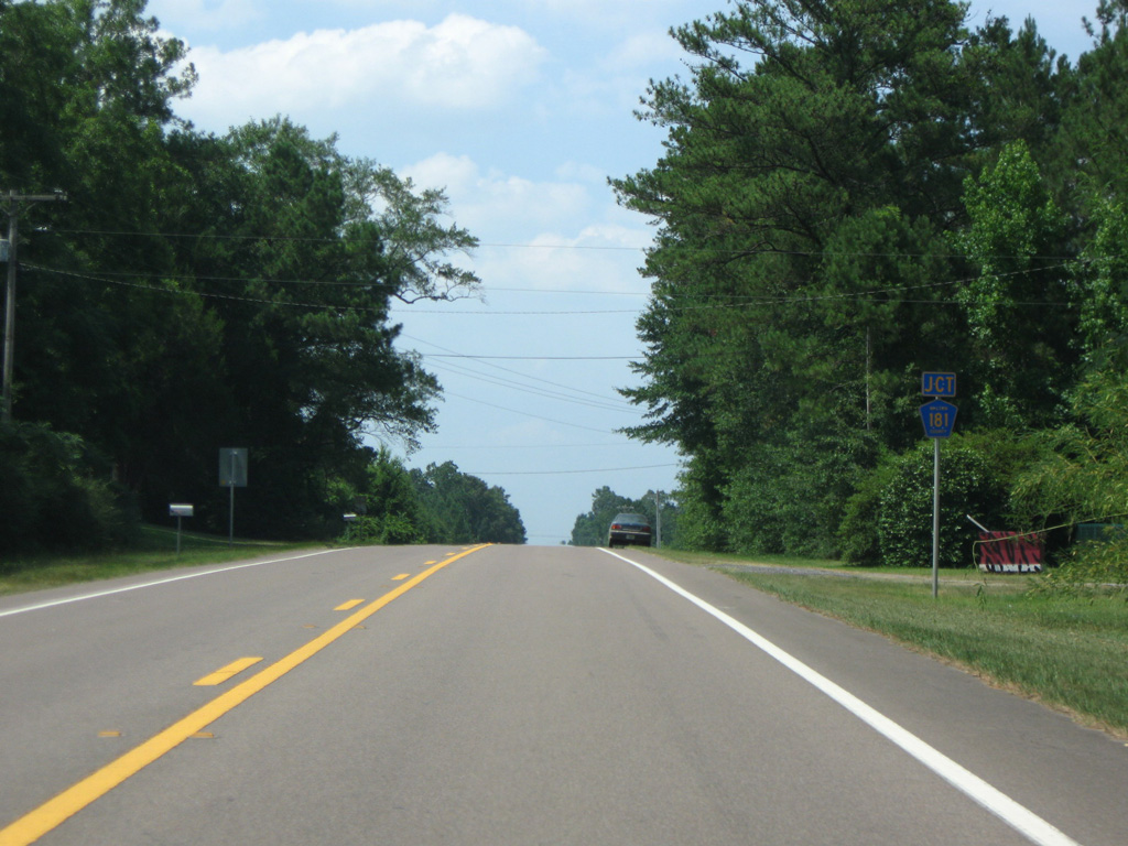
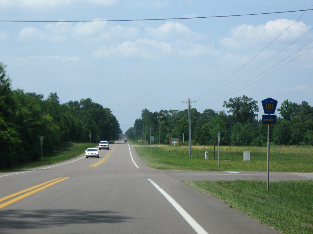
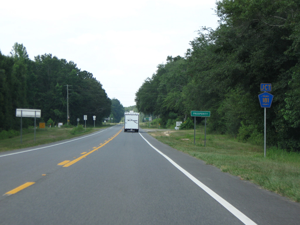
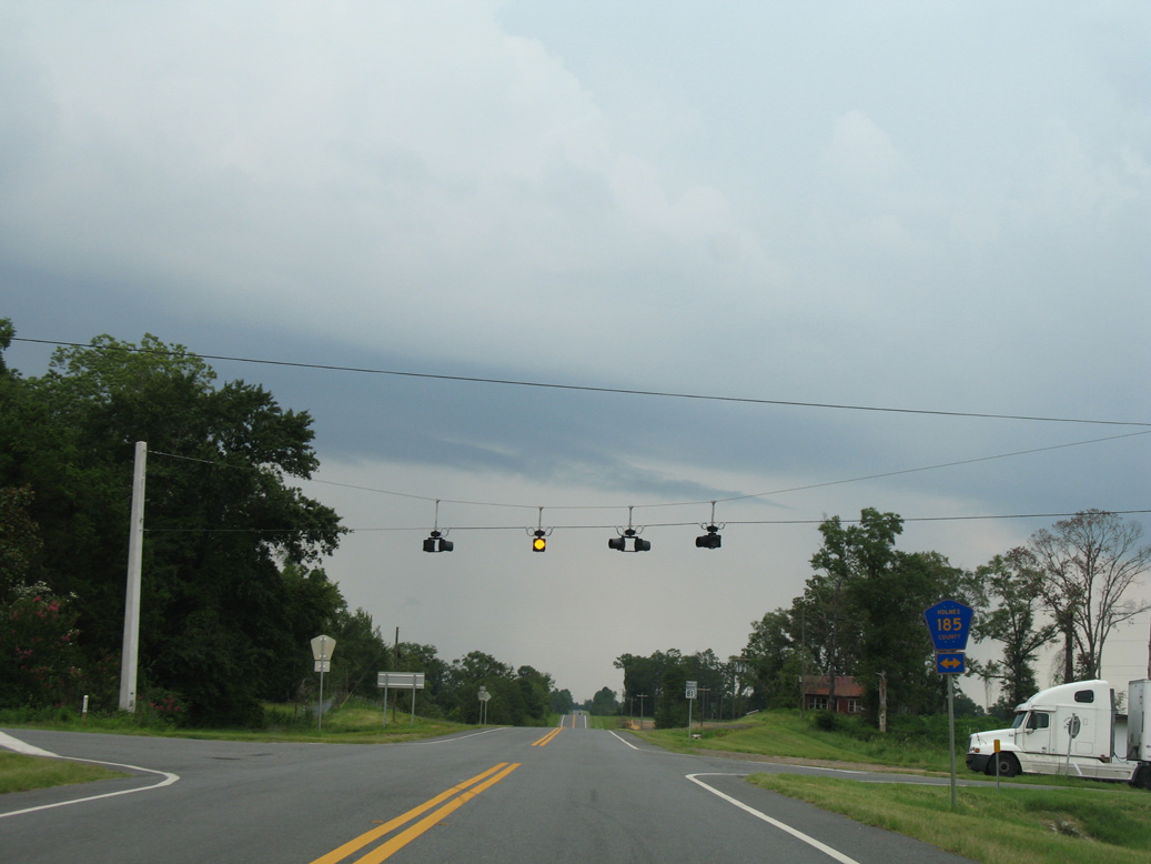
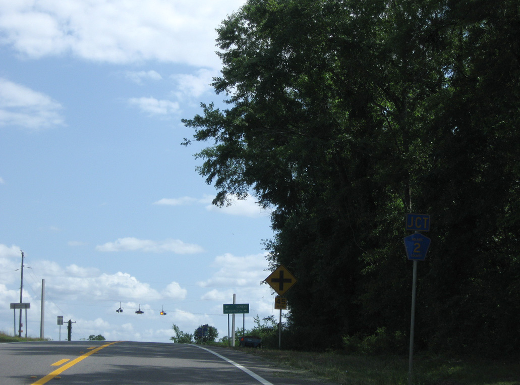
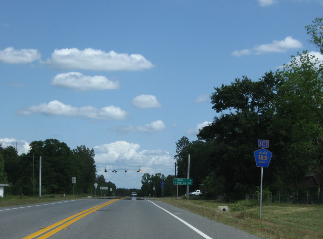
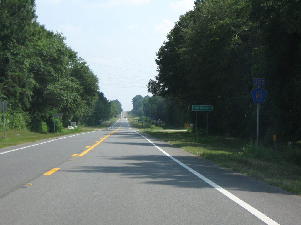
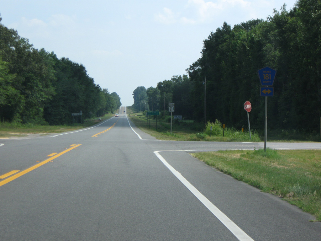
Signed along SR 81 as CR 181, CR 181C heads northeast to Holmes County, where CR 181 takes over along R.M. Ward Road.
06/21/09
06/21/09

08/03/08
06/21/09
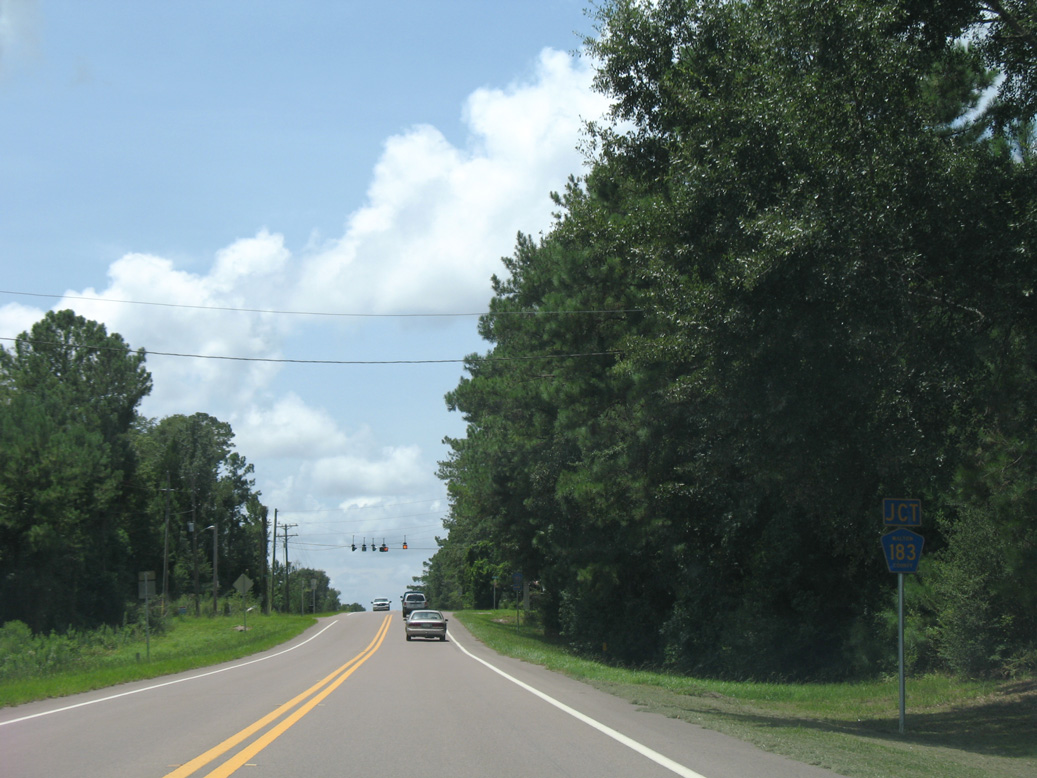
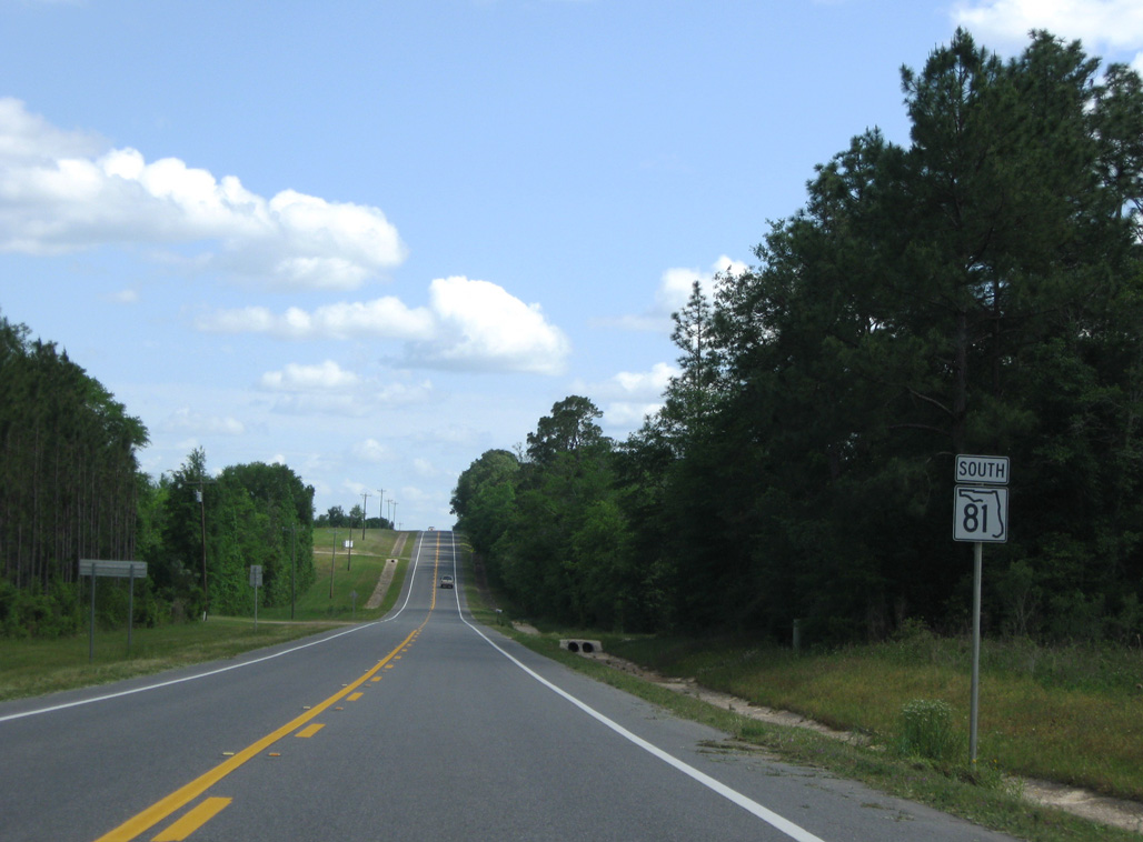
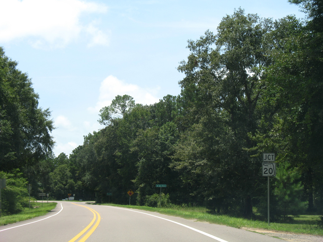
The south end of CR 183 ties into SR 81 east of Knox Hill.
08/03/08
08/03/08
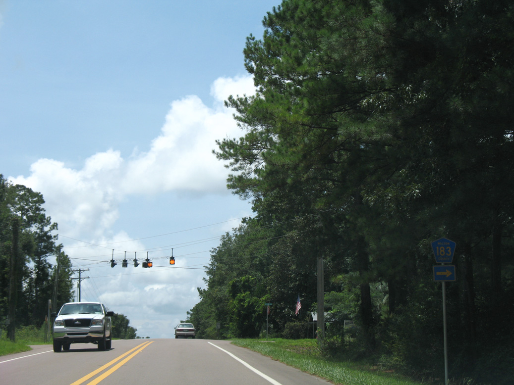
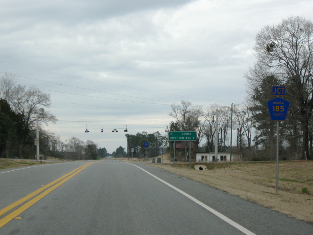
County Road 183 travels 11.29 miles northwest to U.S. 90 at Argyle.
08/03/08
08/03/08
07/03/09
08/03/08
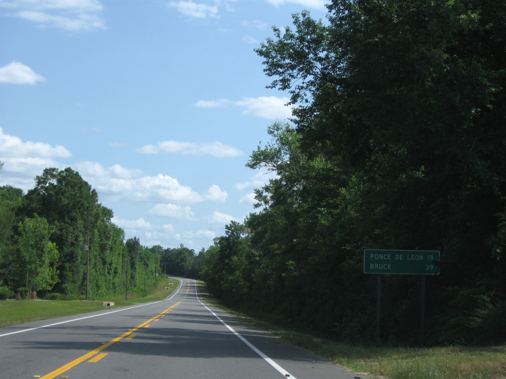
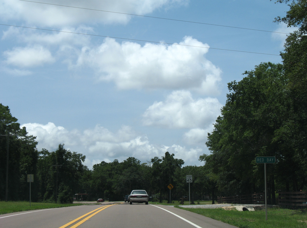
Reassurance marker posted south of Rock Hill Road and the settlement of Redbay.
07/03/09
07/03/09
SR 81 lowers 100 feet in elevation to Seven Runs.
07/03/09
07/03/09
08/03/08
08/03/08
07/03/09

08/03/08
Photo Credits:
- Brent Ivy: 05/02/09, 06/21/09, 07/03/09, 02/21/10
- Alex Nitzman: 06/11/06, 08/07/06, 07/13/07, 07/19/07, 08/03/08, 11/24/15, 05/16/16
- ABRoads: 05/01/09
Connect with:
Page Updated Monday April 27, 2020.