
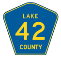
County Road 42
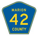
Primarily a rural route, except through the Villages across south central Marion County, County Road 42 travels east from CR 475 at Pedro to SR 44 at Crow's Bluff in Lake County. CR 42 overall provides part of a route joining Ocala with DeLand.
The 29.41 mile long route across Marion County connects the Lake Weir area and Weirsdale southeast of Belleview with Starkes Ferry and Lindale south of Ocala National Forest. The 19.28 mile long course across northeastern Lake County joins SR 19 and Altoona with the communities of Paisley, Lake Kathryn and Forest Hills.
 West
West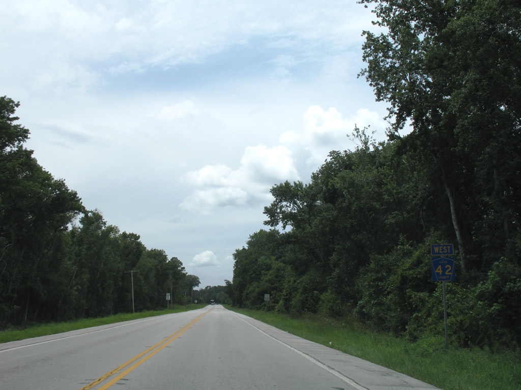
The first confirming marker for CR 42 westbound stands just west of SR 44 near the St. Johns River and Volusia County line.
07/03/08
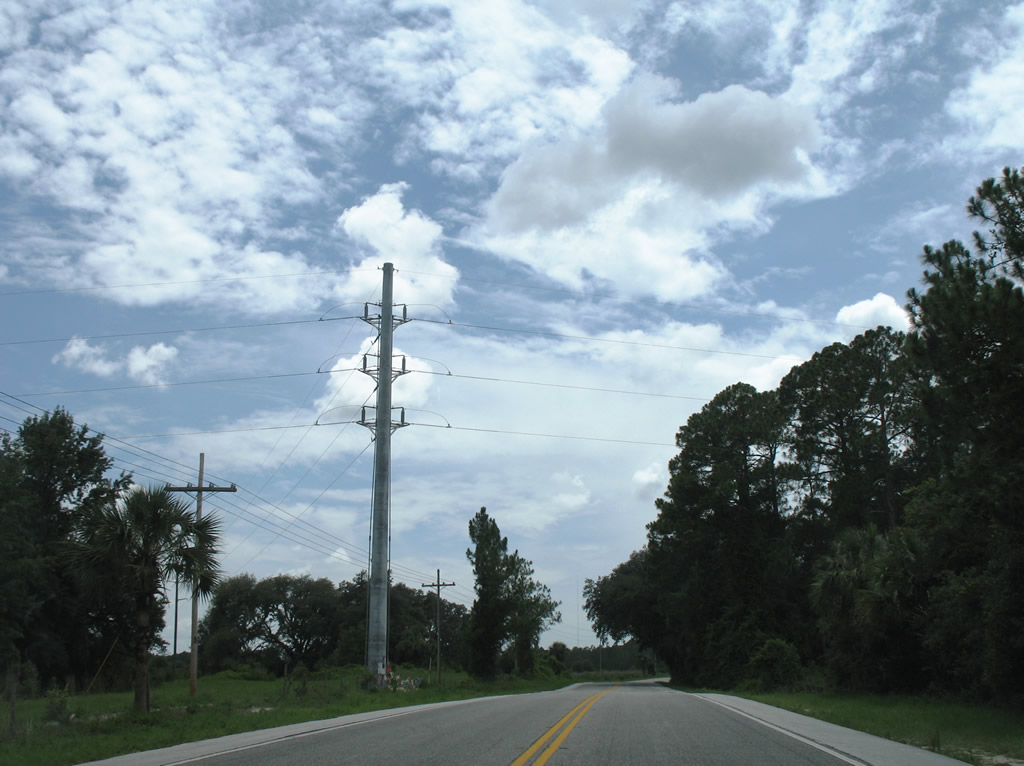
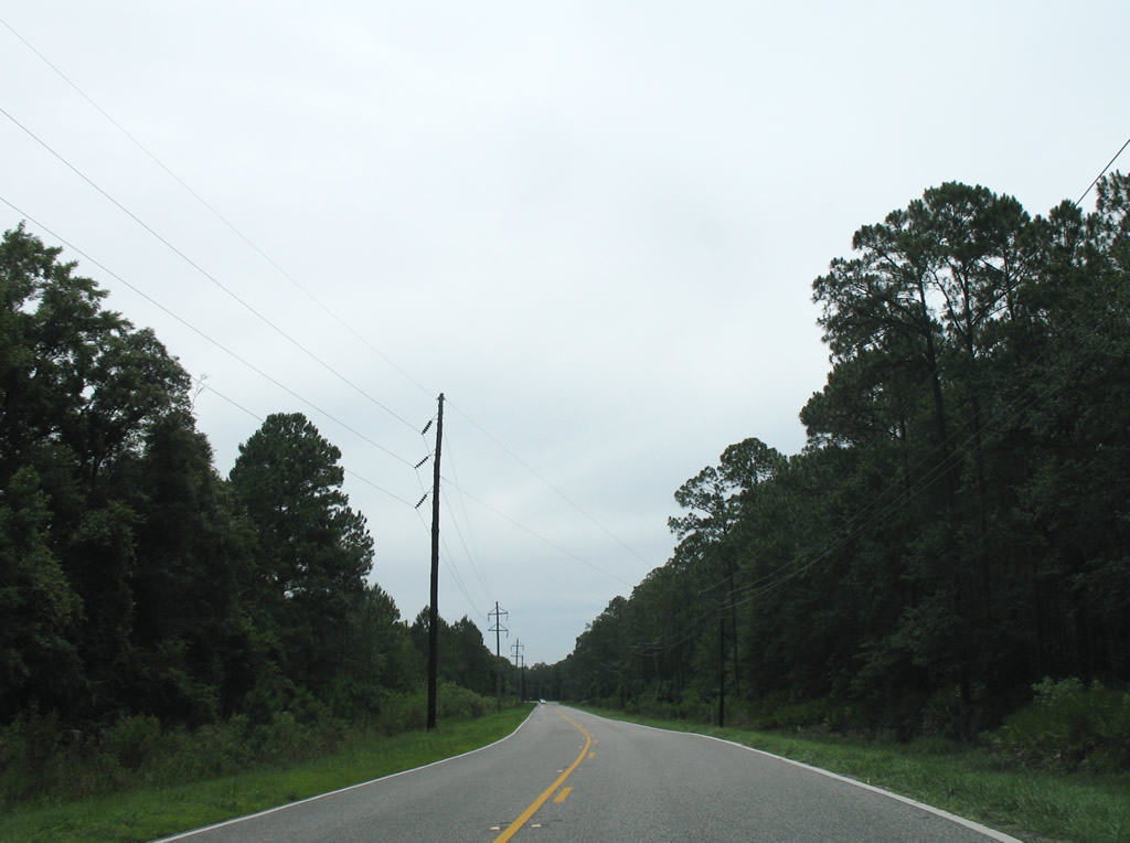
Lake County Road 42 runs along the south boundary of Ocala National Forest across northeastern Lake County.
07/03/08
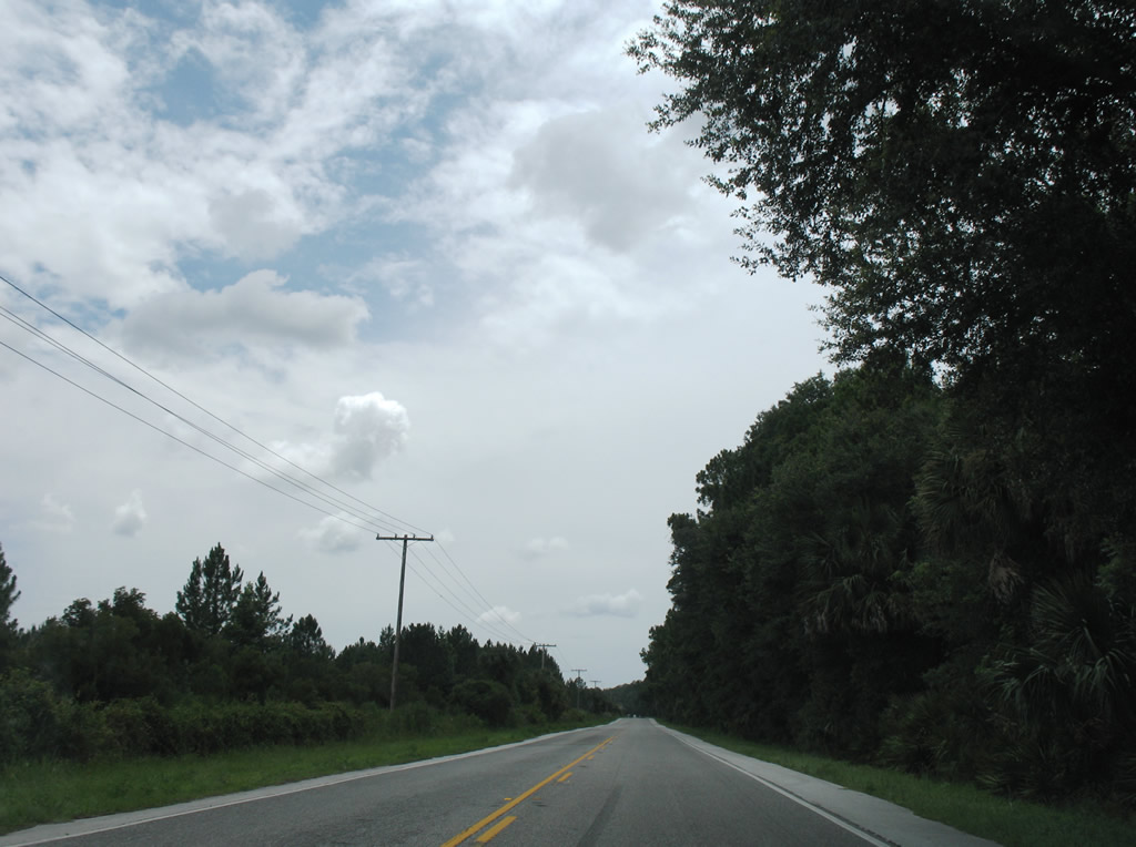
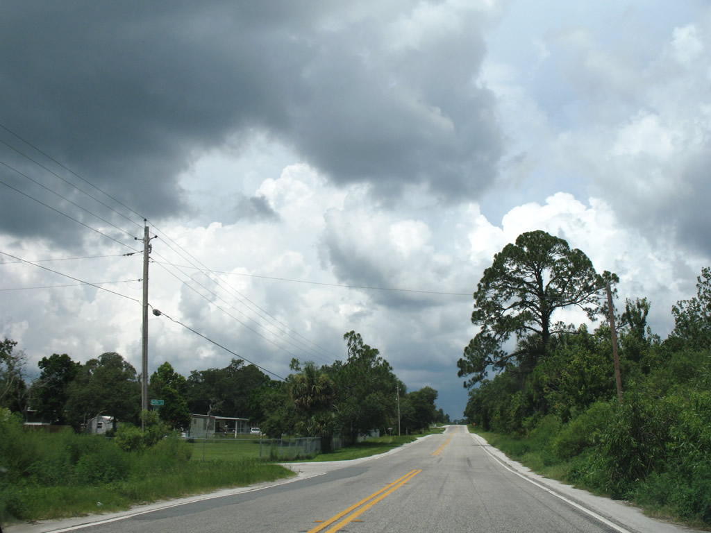
Typical scene along rural Lake County Road 42 near the community of Forest Hills.
07/03/08
A small grid of streets lies south from County Road 42 at Forest Hills. Pictured here is the intersection with 10th Street.
07/03/08
Advancing to the settlement of Fullerville along CR 42 west near Lake Heron.
07/03/08
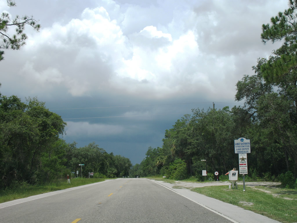
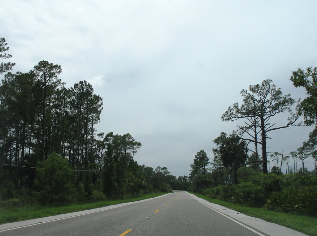
CR 42 advances three miles west from Forest Hills to the rural community of Lake Kathryn.
07/03/08
CR 42 makes a 90 degree turn from Paisley and Johnsons Corner west west ahead of Black Water Swamp.
07/03/08
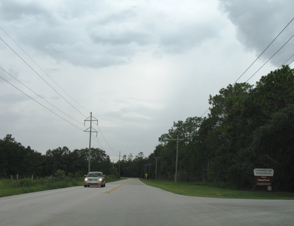
Just beyond Johnsons Corner is Clearwater Lake Recreation Site in Ocala National Forest.
07/03/08
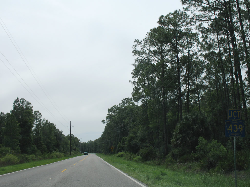
Nearing the north end of Lake County Road 439, a rural route leading south to Lake County Road 44A and SR 44 outside of Eustis.
07/03/08
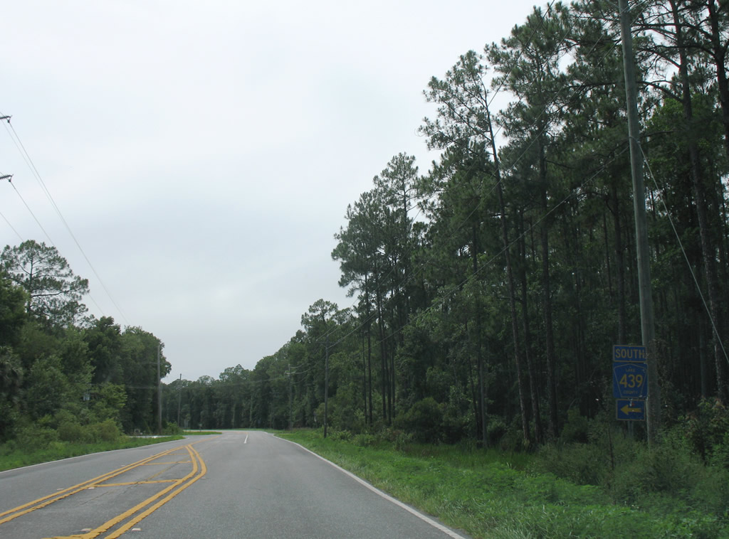
County Road 439 resembles CR 42 with light traffic, forested frontage, and intersecting rural residential streets.
07/03/08
Advancing west from CR 439 south, CR 42 continues 3.4 miles to SR 19 in unincorporated Altoona.
07/03/08
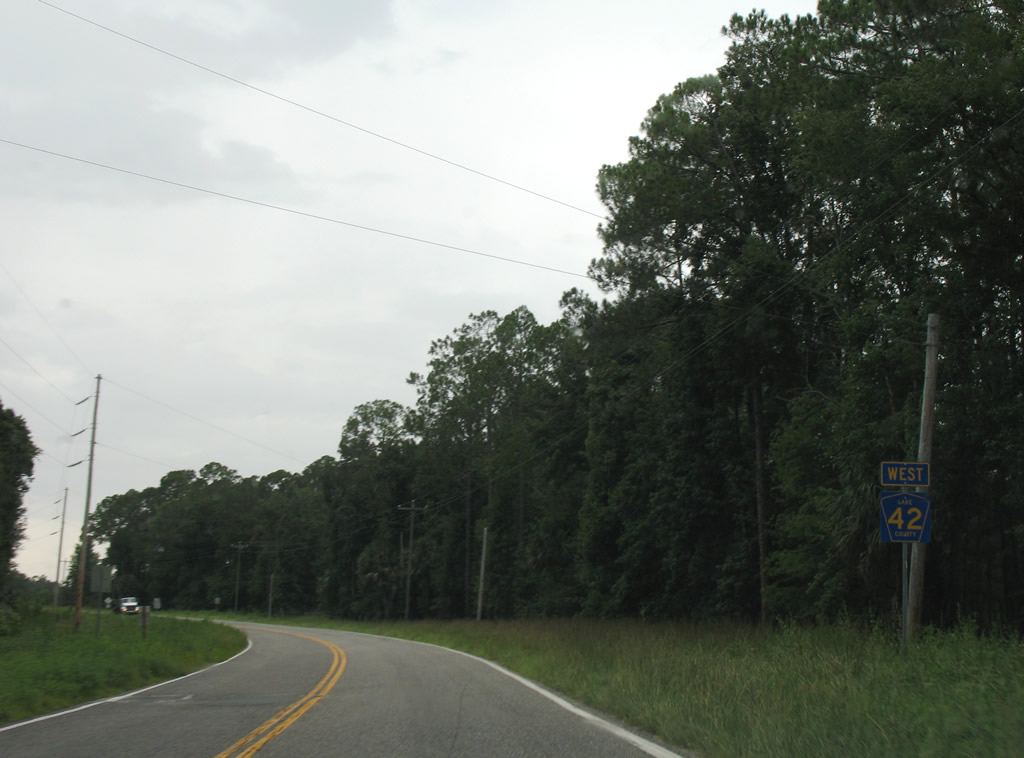
Westbound CR 42 concludes at CR 475 and the settlement of Pedro.
10/16/22
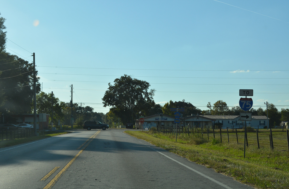
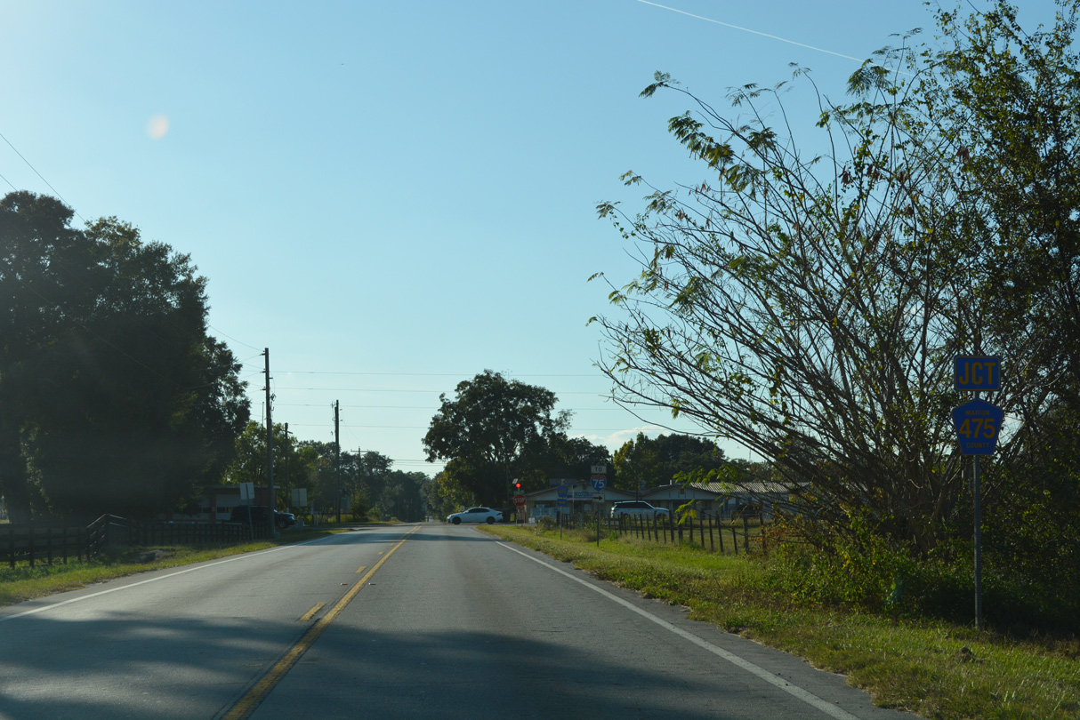
CR 475 north connects with CR 484 west to Interstate 75.
10/16/22
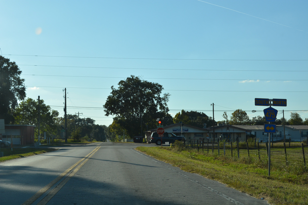
CR 475 continues south into Sumter County ahead of Long Hammock and Wildwood.
10/16/22
Photo Credits:
- Alex Nitzman: 07/03/08, 10/16/22
Connect with:
Page Updated Wednesday October 26, 2022.