
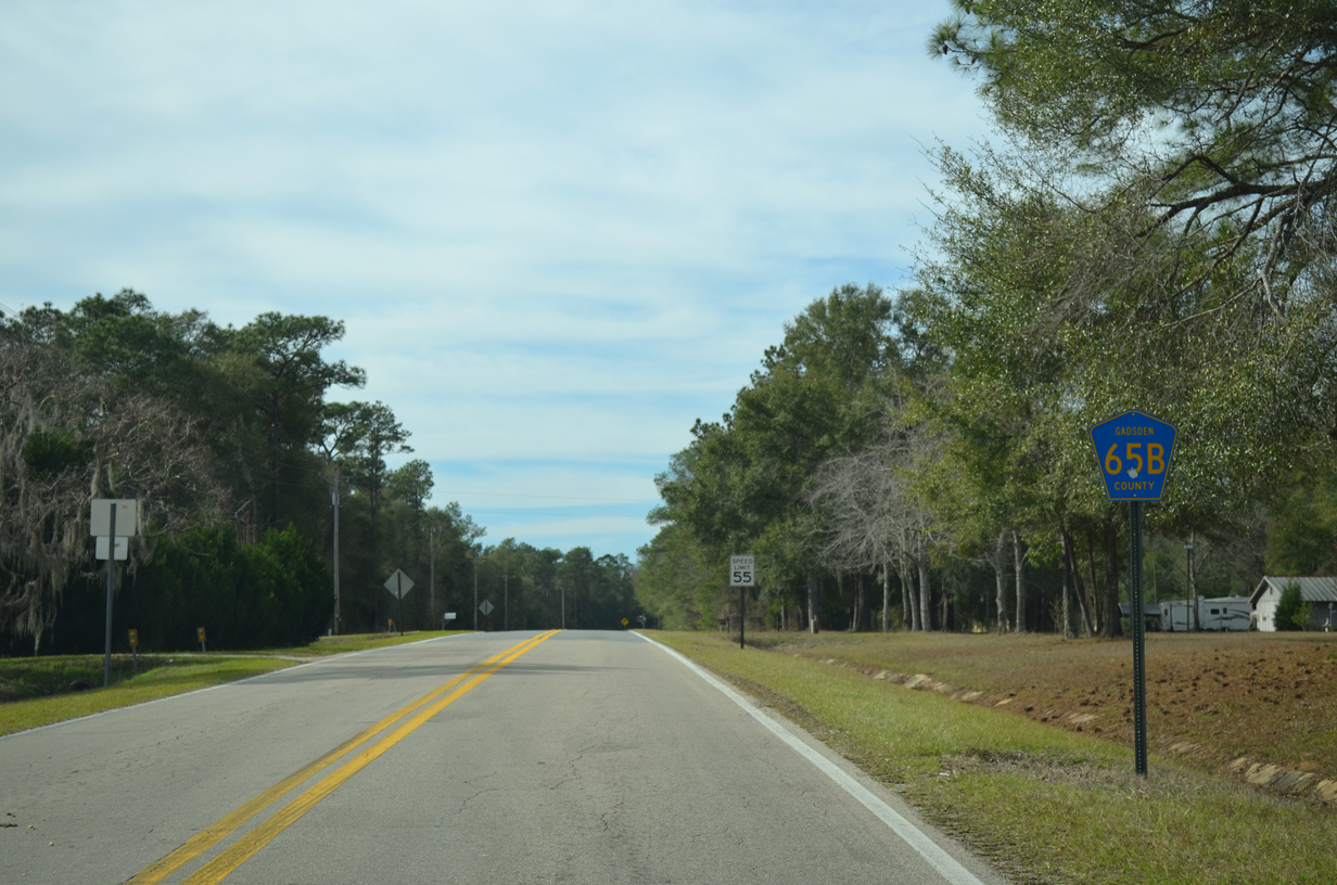
County Road 65B

The southern branch of County Road 65B follows Old Federal Road 11.96 miles east from SR 65 to CR 268 (High Bridge Road). The northern section arcs west from CR 65A (Porter Mitchell Road) at Bettstown 2.02 miles to the Georgia state line.
Both sections of Florida Secondary 65B were added to the state system by 1972 along with S-65C and S-65D.
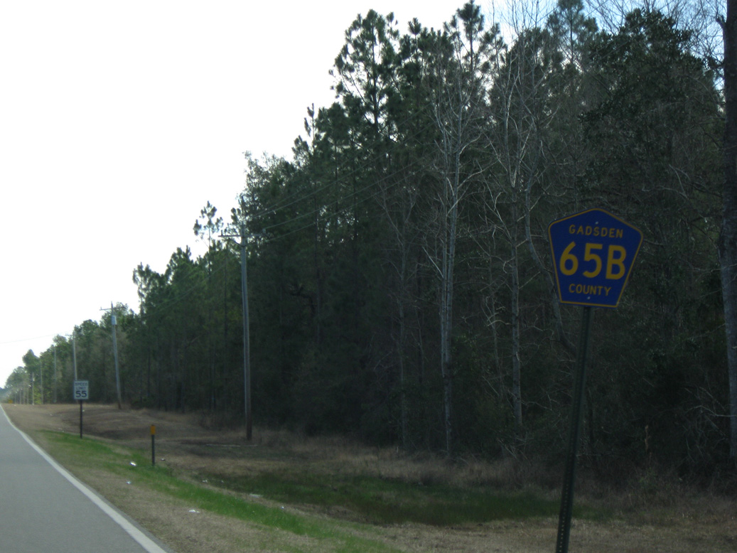
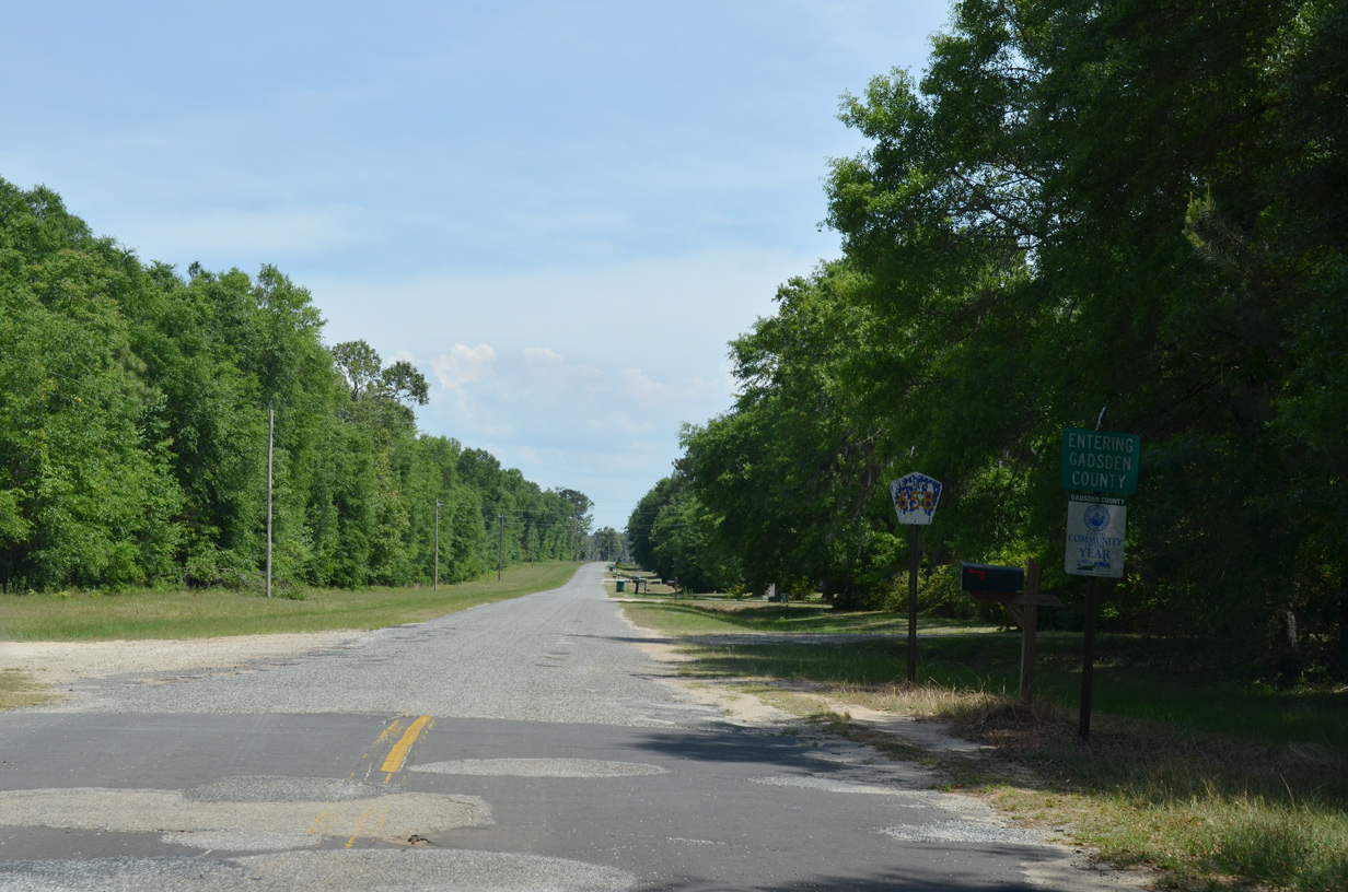
The eastbound beginning of CR 65B along Old Federal Road.
02/21/10
CR 65B (Old Federal Road) crosses paths with SR 267 (Pat Thomas Parkway) at the community of Wetumpka.
02/21/10
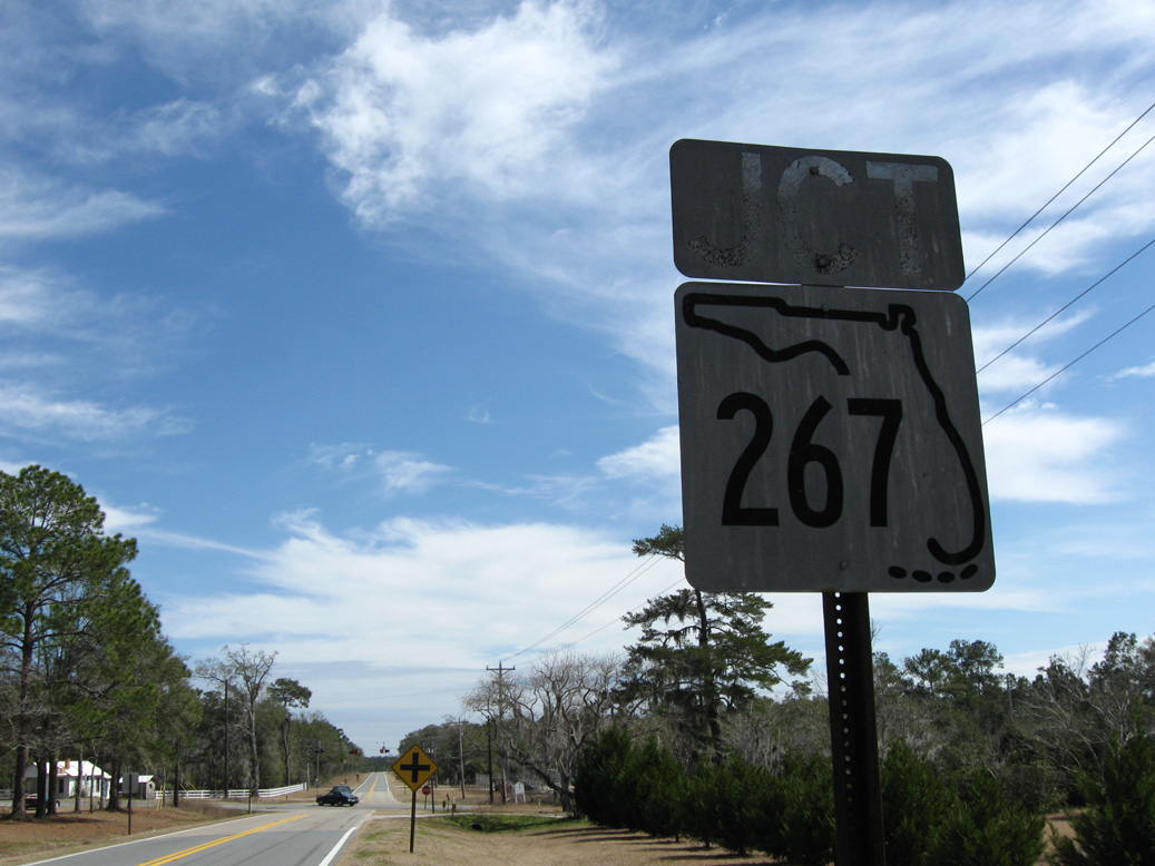
Florida keys shields for SR 267 on Old Federal Road were replaced after 2010. The junction assembly was date stamped 02-24-65.
02/21/10
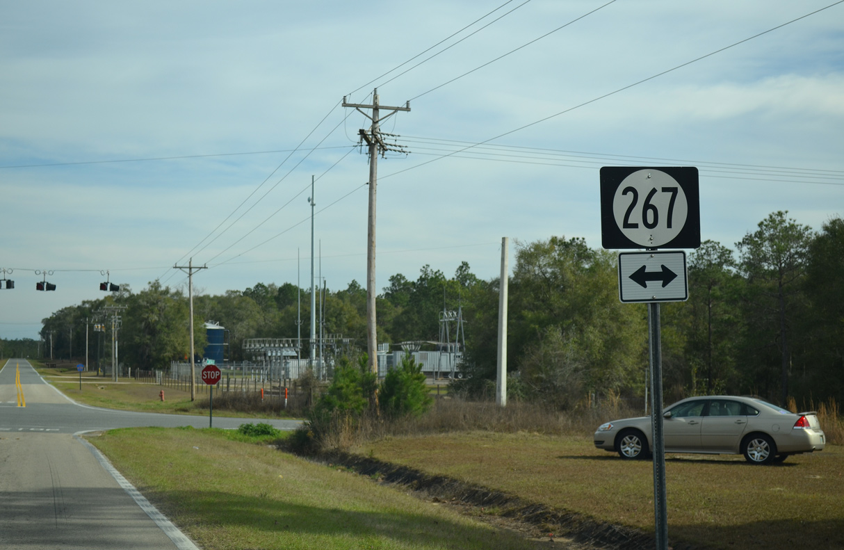
County installed shields for SR 267 on CR 65B use the wrong state route design.
01/16/16
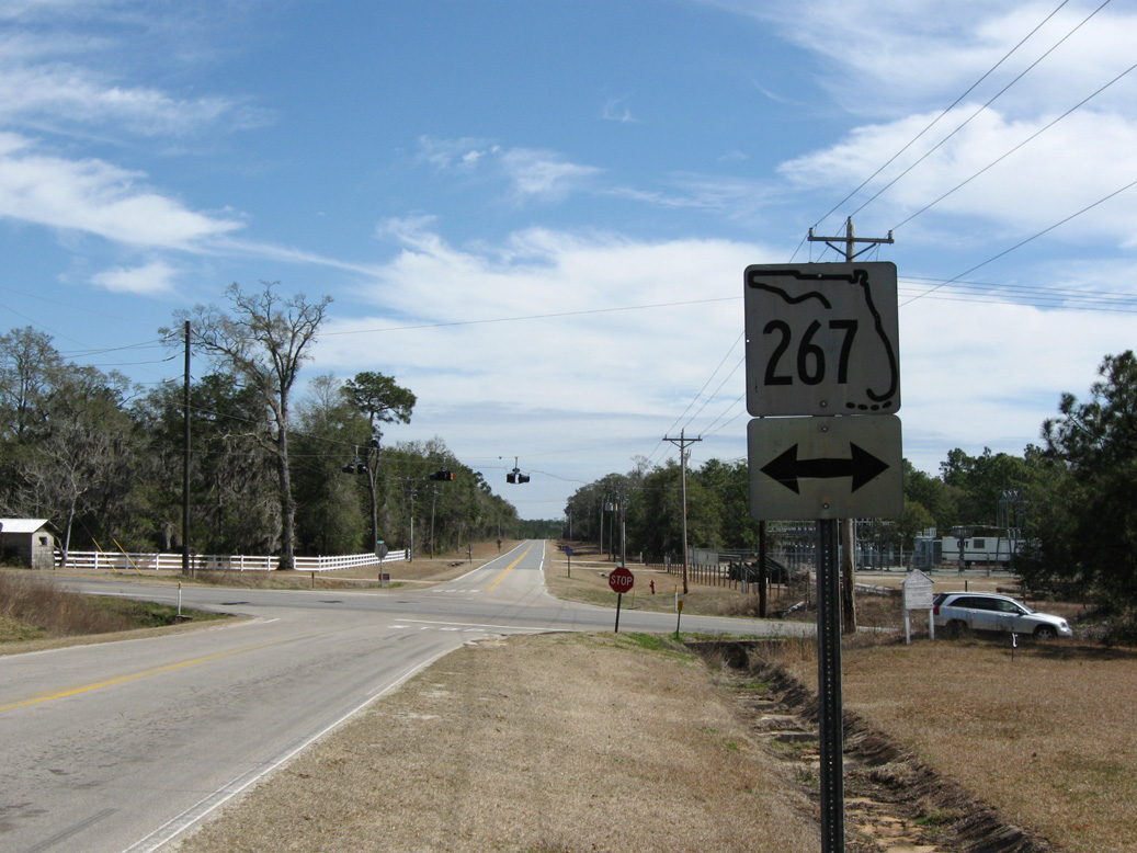
SR 267 (Pat Thomas Parkway) branches northeast from SR 20 in Liberty County to U.S. 90/SR 12 in Quincy.
02/21/10
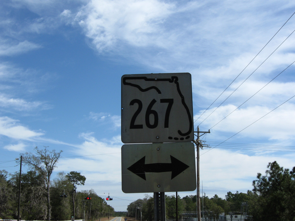
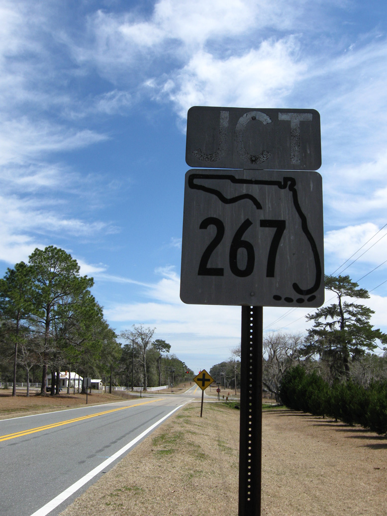
The second keys shield for SR 267 on CR 65B eastbound was also date stamped 02-24-65.
02/21/10
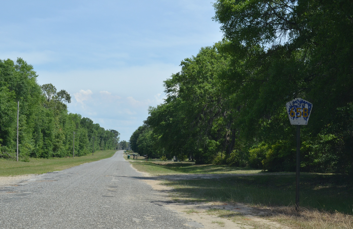
Confirming marker for CR 65B west of SR 267 at Wetumpka.
01/16/16
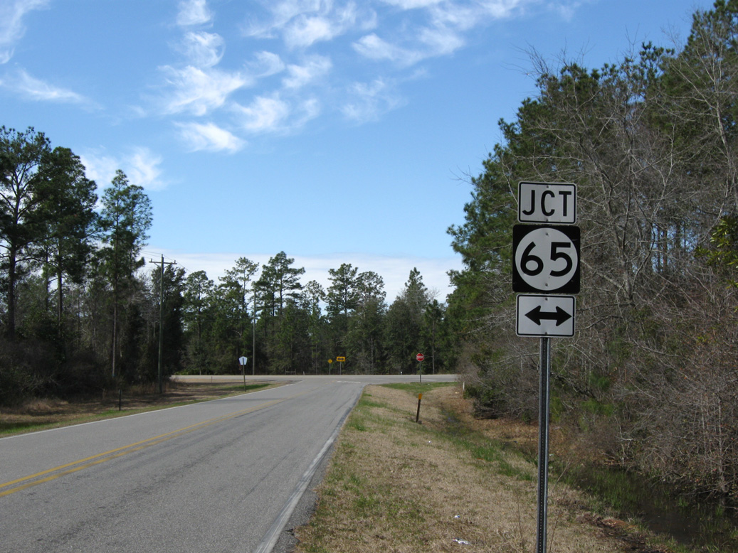
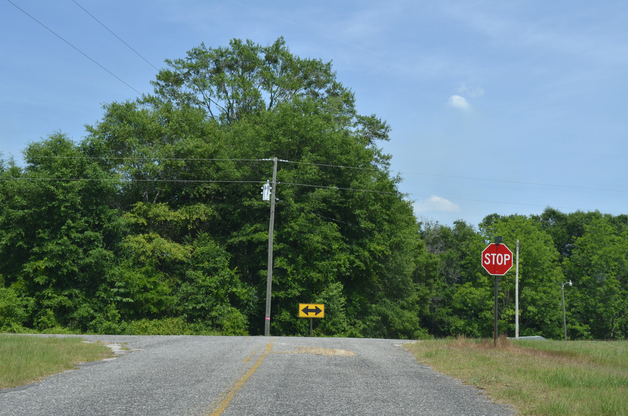
County Road 65B (Old Federal Road) ends at SR 65 (Hosford Highway) north of Bear Creek and south of Sawdust.
02/21/10
Betts Community Road becomes Gadsden County Road 65B south at the state line.
05/16/16
A reassurance marker for CR 65B stands along Bettstown Road just beyond the state border.
05/16/16
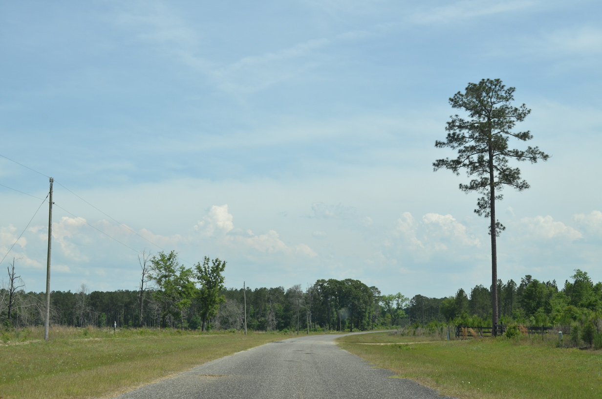
Bettstown Road arcs southward from Decatur County, Georgia by a tree farm.
05/16/16
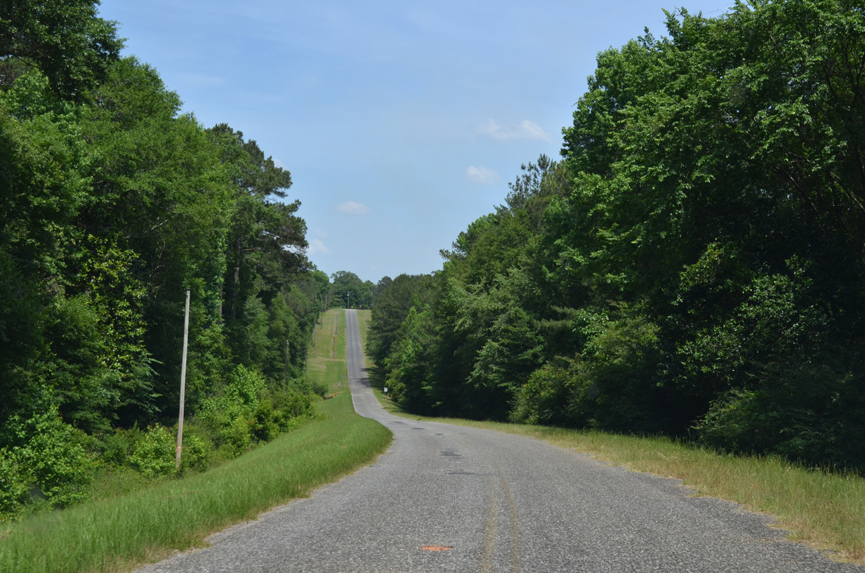
Turning east, CR 65B (Bettstown Road) undulates across a tributary of Camel Creek to Bettstown.
05/16/16
CR 65B concludes at an unmarked intersection with CR 65A (Porter Mitchell Road. CR 65A runs 2.43 miles south from the state line to CR 65 (Attapulgus Highway).
05/16/16
Photo Credits:
- Brent Ivy: 02/21/10
- ABRoads: 01/16/16
- Alex Nitzman: 05/16/16
Connect with:
Page Updated Friday April 24, 2020.