
Osceola County Road 531 - Pleasant Hill Road
County Road 531 is an unsigned route joining the city of Kissimmee with the community of Poinciana west of Lake Tohopekaliga. The majority of the 11.82 mile long route lines Pleasant Hill Road, the main arterial route leading south to Poinciana. Northern reaches of CR 531 tie into the Kissimmee residential street grid.
CR 531 originates at the dead end along Old Pleasant Hill Road south of Cypress Parkway on Johnson Island. Cypress Parkway east becomes Pleasant Hill Road north across Reedy Creek to the Bellalago development. Pleasant Hill Road continues north through an array of suburban development to U.S. 17/92 near the Kissimmee city line.
Construction of Hoagland Boulevard, an arterial belt route encircling west Kissimmee, upgraded CR 531 north from U.S. 17/92 into a four lane arterial. The unmarked route lines Jack Calhoun Drive north to Old Tampa Highway and Clay Street. Clay Street (CR 531) angles northeast along the CSX Railroad to Randolph Avenuem just east of the viaduct along U.S. 17/92 (John Young Parkway). CR 531 turns north onto Randolph Avenue five blocks to Emmett Street, the historic alignment of U.S. 17/92 east into Downtown Kissimmee.
Thacker Avenue 1.96 miles north from CR 531 on Clay Street in Kissimmee is unsigned CR 531A.
 North
North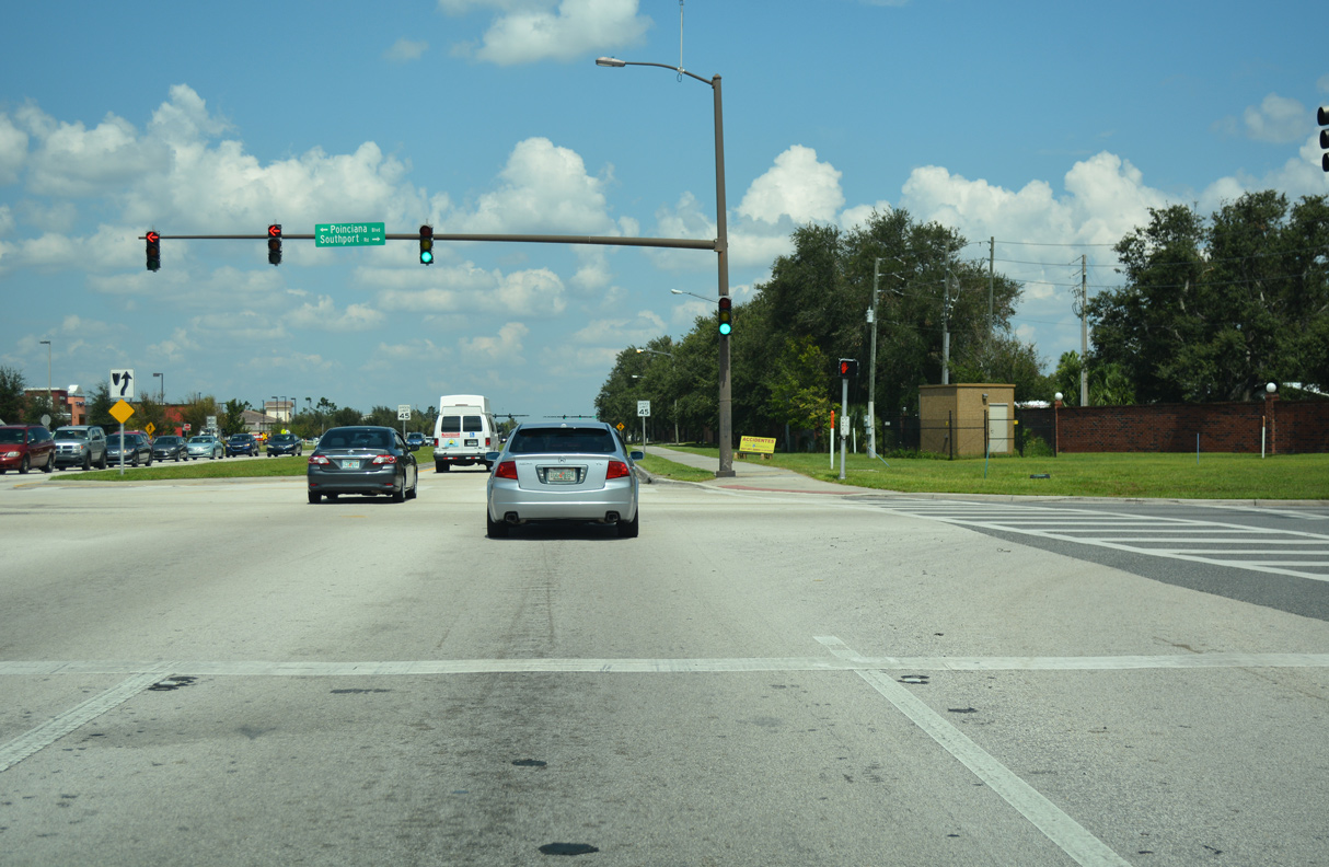
S Poinciana Boulevard branches northwest from Pleasant Hill Road (CR 531) at Southport Road. Poinciana Boulevard runs north to U.S. 17/92 near Intercession City and U.S. 192 west of Kissimmee.
09/20/17
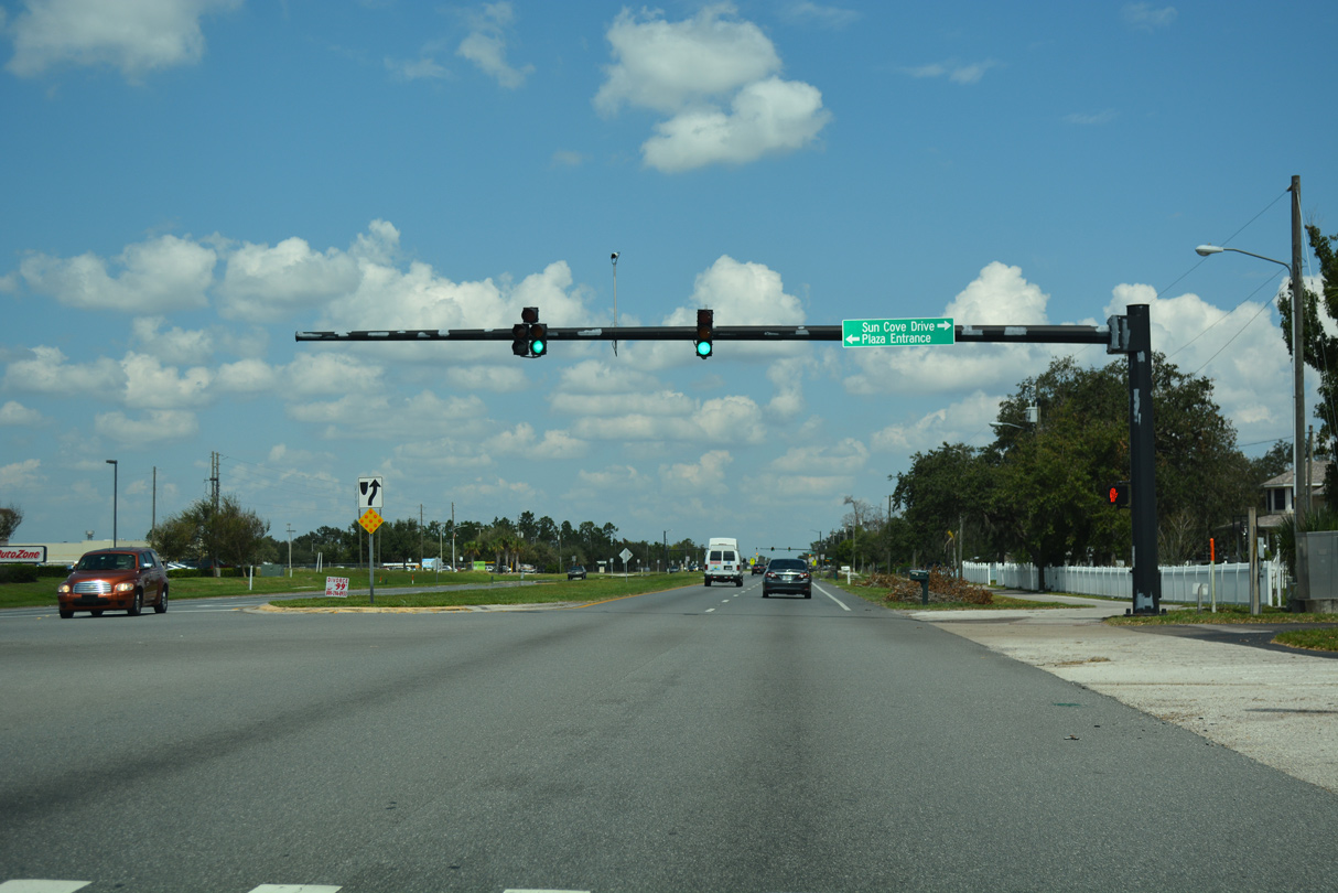
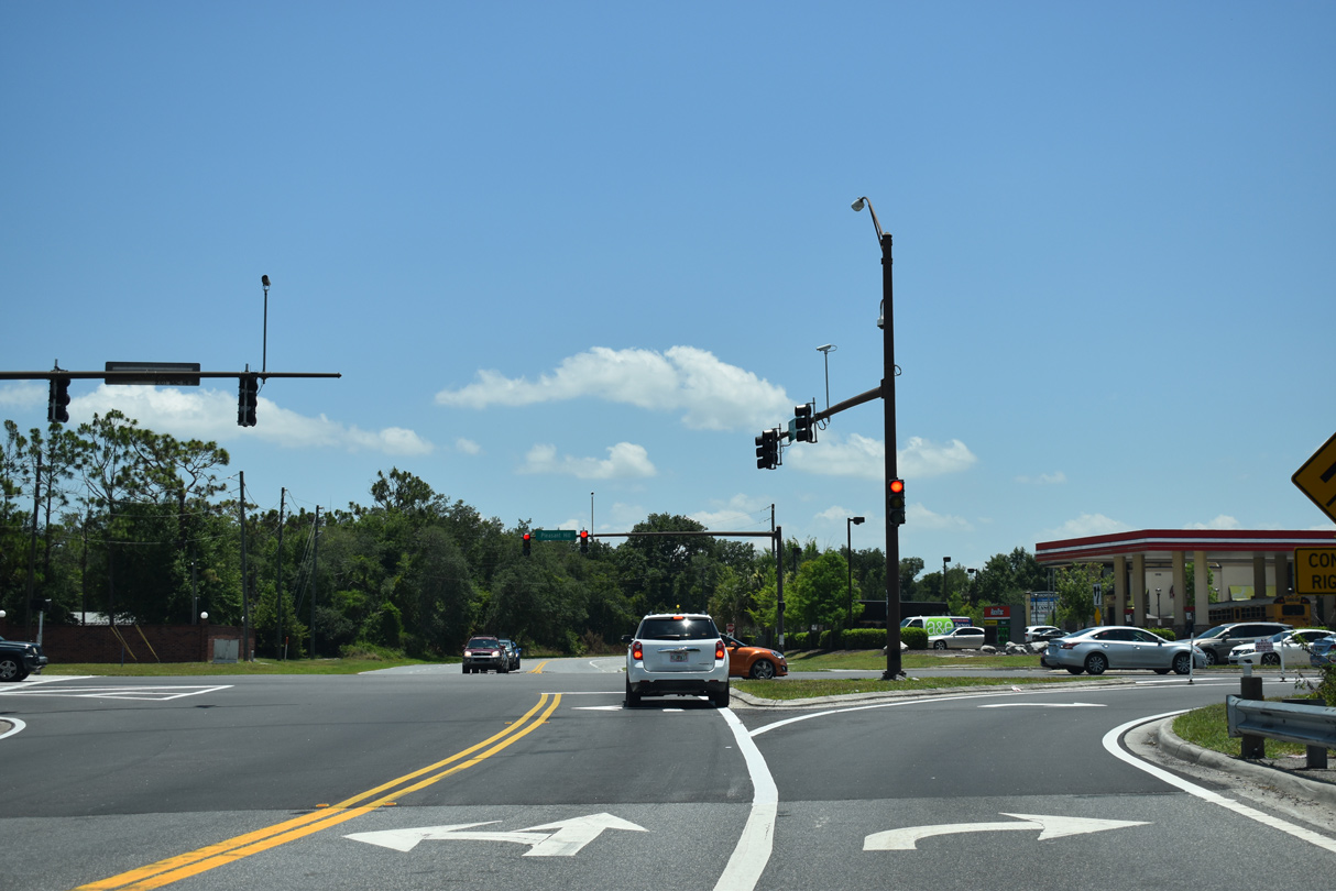
Pleasant Hill Road advances north from Poinciana Boulevard to the signalized intersection with Sun Cove Drive.
09/20/17
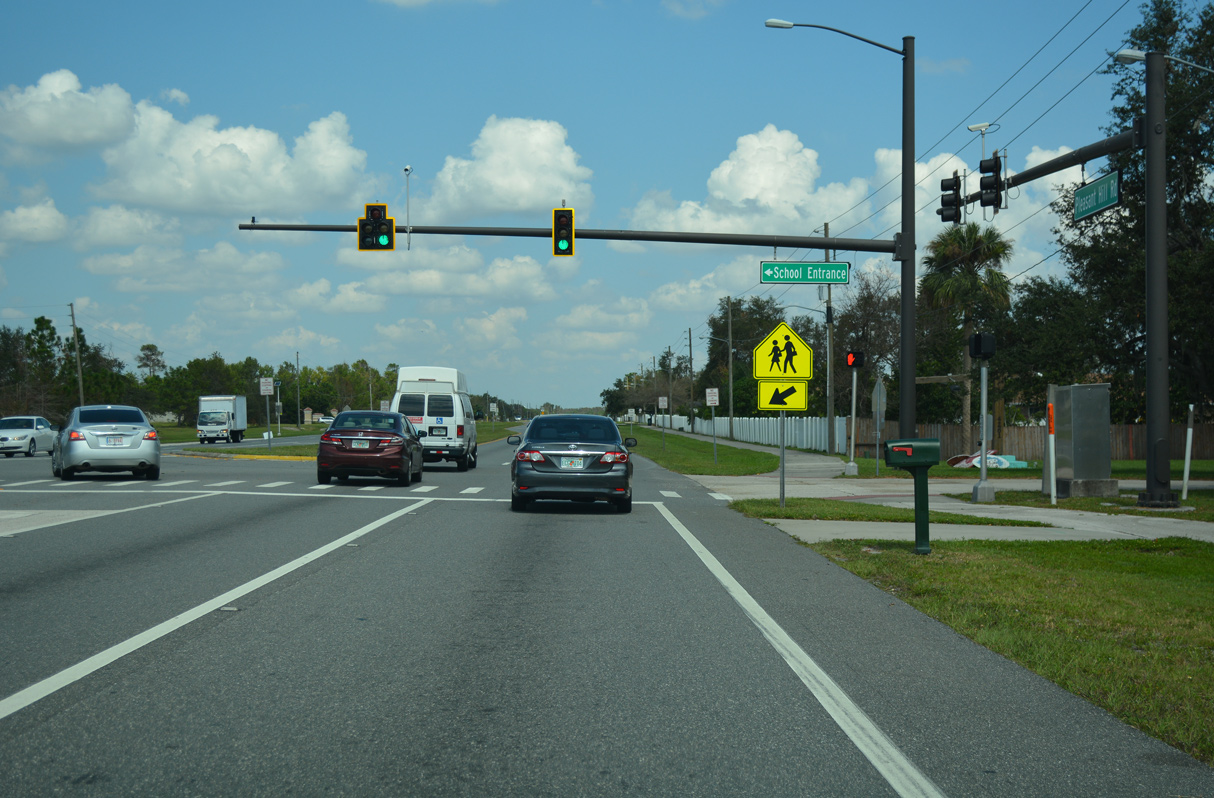
Traffic signals operate along Pleasant Hill Road at the entrance for Liberty High School and an RV park.
09/20/17
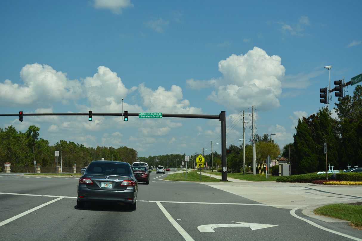
Bellago Drive west ties into Pleasant Hill Road from the Bellalago development across from Isles of Bellalago Drive and the Isles of Bellalago community.
09/20/17
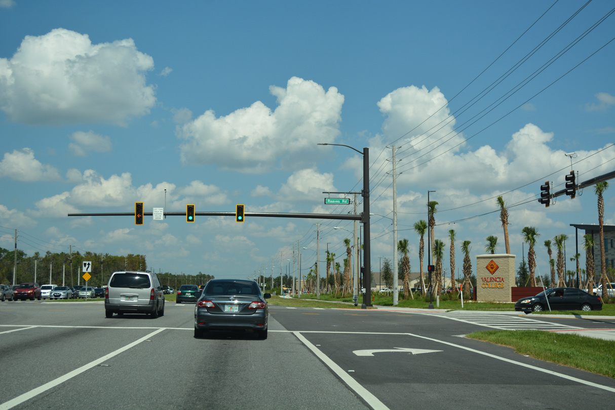
Reaves Road west 1.71 miles from Pleasant Hill Road (CR 531) to Ham Brown Road is part of unsigned CR 535. CR 535 parallels CR 531 north to U.S. 17/92 at Campbell.
09/20/17
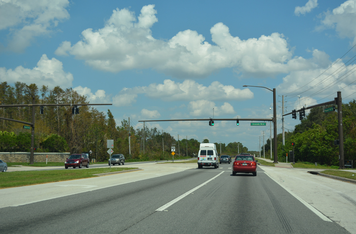
Granada Boulevard west intersects Pleasant Hill Road across from the Brighton Lakes development.
09/20/17
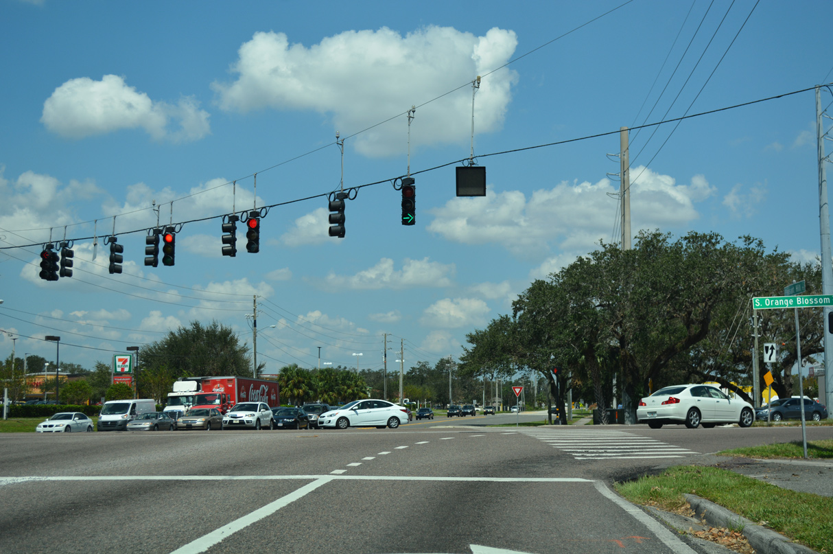
Pleasant Hill Road (CR 531) meets U.S. 17/92 at a commercialized intersection next to the Kissimmee city line. Planned road work in 2025 adds an access road linking CR 531 north with U.S. 17/92 north.
09/20/17
South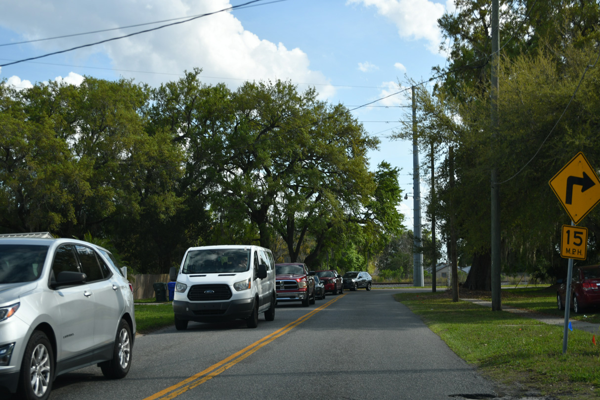
Randolph Avenue leads unsigned CR 531 south from Emmett Avenue (old U.S. 17/92) through the Kissimmee street grid onto Clay Street west.
03/08/24
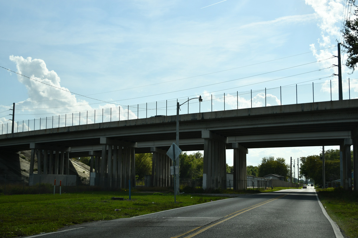
Clay Street parallels a CSX Railroad with AMTRAK and Sunrail service southwest from the viaduct along U.S. 17/92 (John Young Parkway).
03/08/24
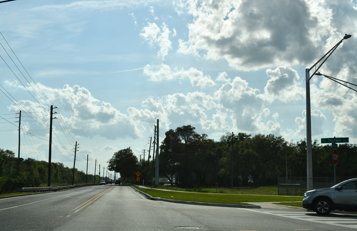
Thacker Avenue (unsigned CR 531A) stems north from Clay Street to Osceola High School and U.S. 192 (Vine Street).
03/08/24
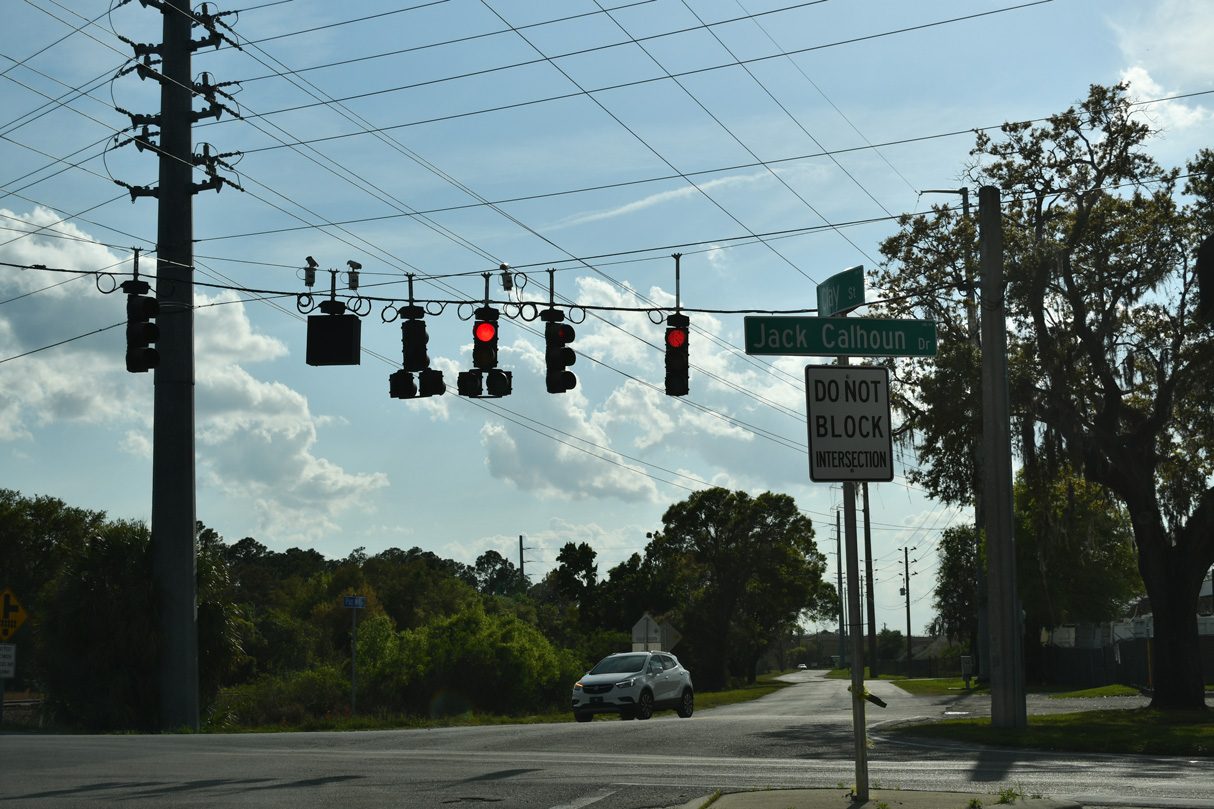
CR 531 turns south from Clay Street onto Jack Calhoun Drive across the adjacent CSX Railroad line to Hoagland Boulevard.
03/08/24
Unsigned CR 531 shifts onto Hoagland Boulevard from Jack Calhoun Drive south. Hoagland Boulevard was completed northwest across SunRail and Old Tampa Highway on October 20, 2020.
05/30/19
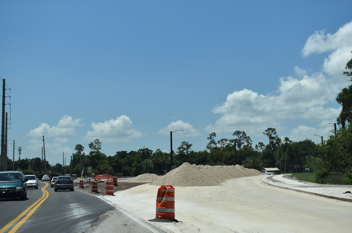
Hoagland Boulevard was expanded into a four lane arterial during 2019-21 road work. Northgate Drive intersects CR 531 across from a shopping center.
05/30/19
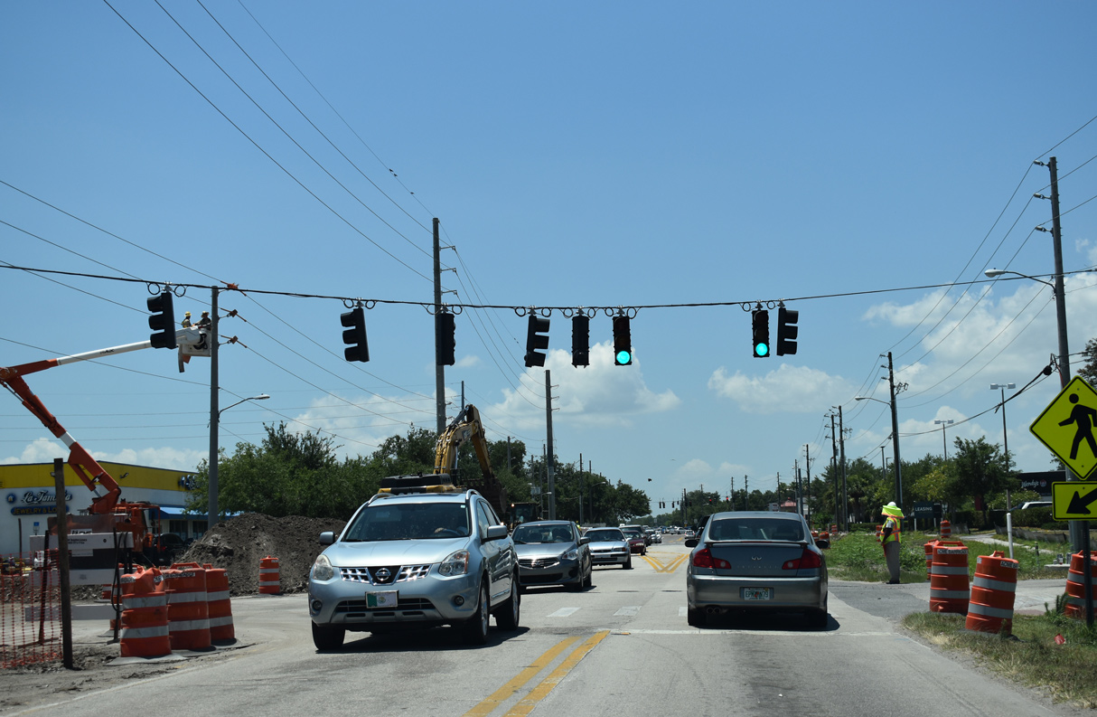
Hoagland Boulevard south becomes Pleasant Hill Road at the often congested intersection with U.S. 17/92 (Orange Blossom Trail).
05/30/19
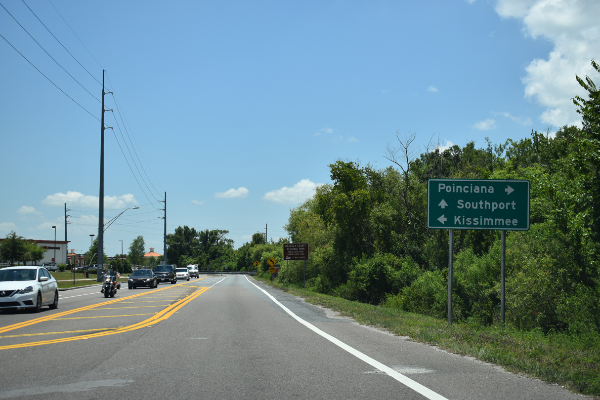
S Poinciana Boulevard converges with CR 531 (Pleasant Hill Road) at Southport Road in Poinciana.
05/30/19
Pleasant Hill Road south spans Reedy Creek from S Poinciana Boulevard to Cypress Parkway. Southport Road spurs east to Lake Tohopekaliga.
05/30/19
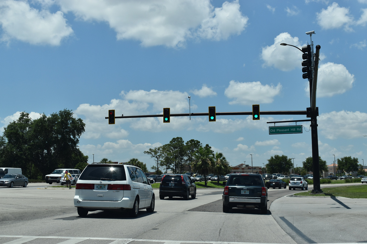
Pleasant Hill Road curves west to become Cypress Parkway at Old Pleasant Hill Road in Poinciana. CR 531 spurs south along Old Pleasant Hill Road to a dead end beyond Scrub Jay Lane.
05/30/19
Photo Credits:
- Alex Nitzman: 09/20/17
- ABRoads: 05/30/19, 03/08/24
Connect with:
Page Updated Friday May 03, 2024.