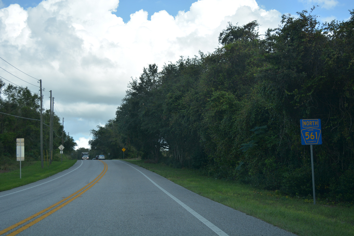
Two branches of County Road 561 are assigned in Lake County. The southern leg stretches 16.43 miles north from SR 33 to U.S. 27 in Minneola. The county road runs north to Lake Gloria, Lake Minnehaha and onto 12th Street through the city of Clermont. Continuing north, CR 561 (Lake Minneola Shores) follows a causeway separating Lake Hiawatha and Lake Minneola northwest to CR 565A. CR 561 continues east along the north side of Lake Minneola into the city of Minneola.
The 12.26 mile long northern section branches east from U.S. 27 to Sugarloaf Mountain. The rural highway advances north to the town of Astatula before converging with SR 19 (Duncan Drive) in the city of Tavares.
Construction completed on June 29, 2015 replaced the intersection with CR 561 and CR 455 north of Sugarloaf Mountain with a roundabout. Built in the 1930s, the previous traffic pattern included four two-way ramps, six stop signs and four yield signs. Designed to improve safety, the roundabout was controversial due to the $1 million cost estimate.1
A 2.80 mile section of CR 561 was decommissioned through the city of Clermont from 12th Street east to U.S. 27 at Main Avenue. The alignment followed Minneola Avenue east to 8th Street north and Osceola Street east through Downtown. East Avenue continued the route north onto Lake Minneola Drive and S Main Avenue.

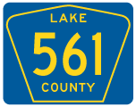
North
Lake County Road 561 branches off SR 33 on a 12 mile course through the Green Swamp to SR 50 in Clermont.
05/22/20
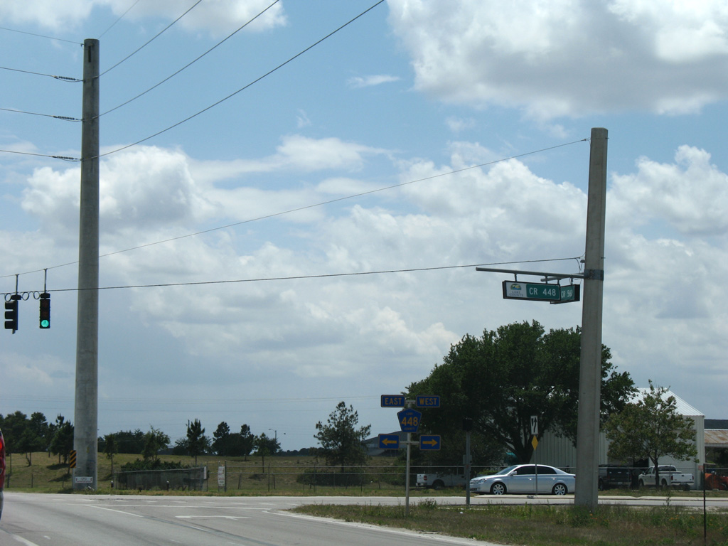
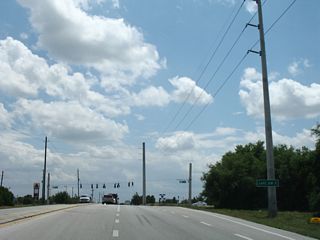
CR 561 shield posted along 12th Street north after SR 50 in Clermont. The route previously ended three blocks to the north at Minneola Avenue east to Downtown.
10/18/08
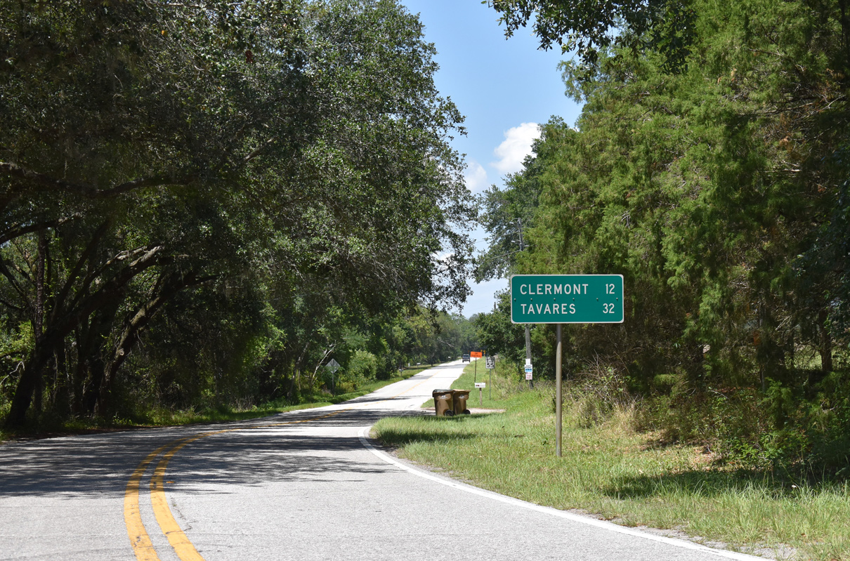
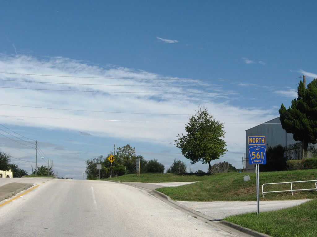
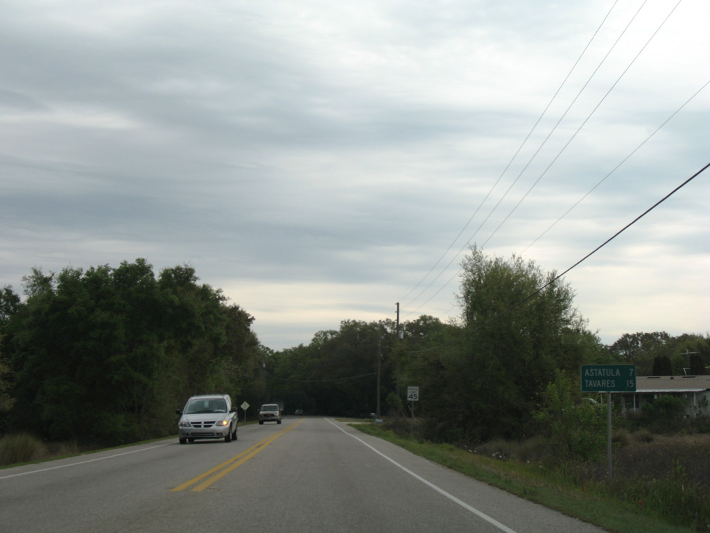
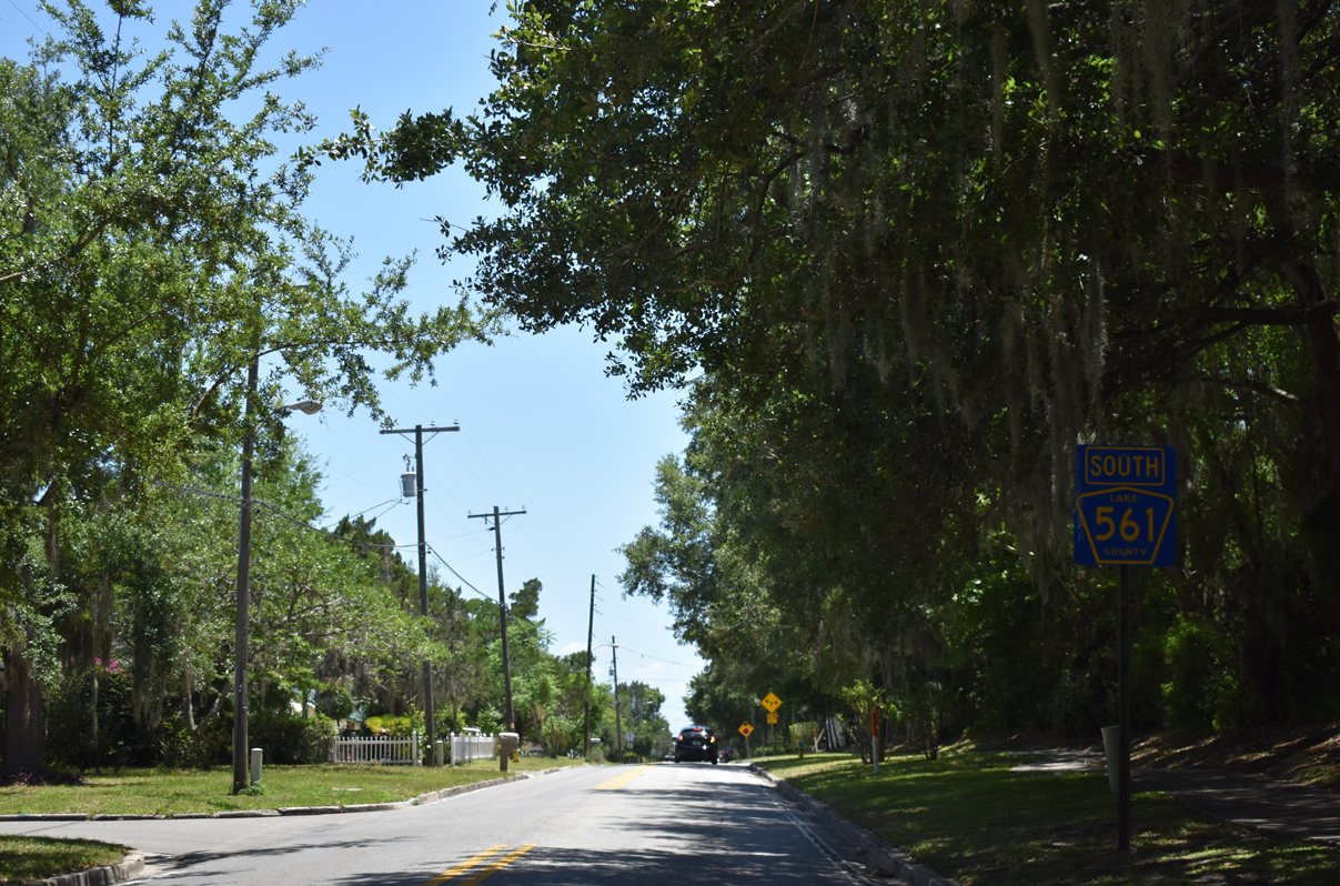
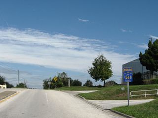
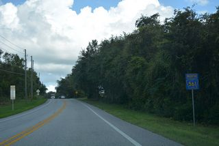
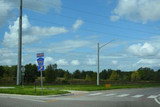
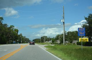
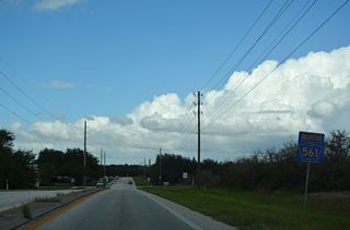
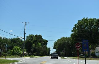
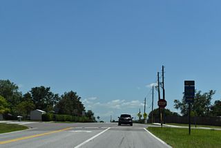
County Road 561 arcs northeast from U.S. 27 just outside the Minneola city limits.
03/14/08
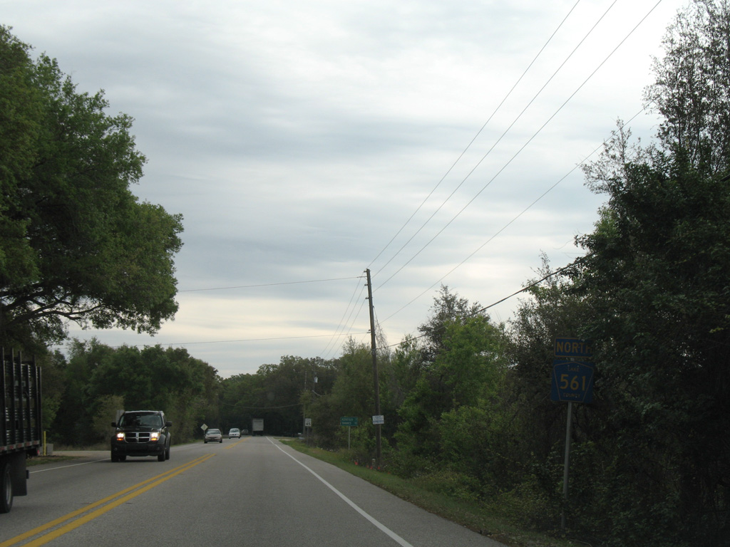
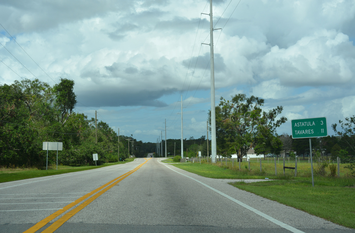
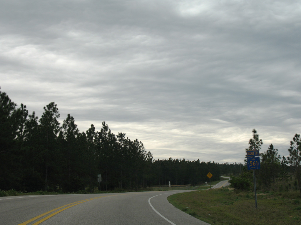
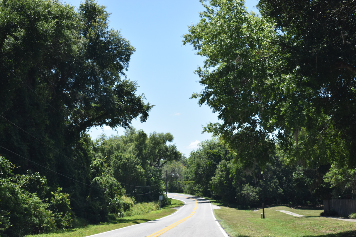
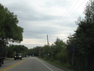
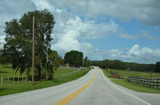
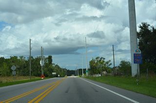
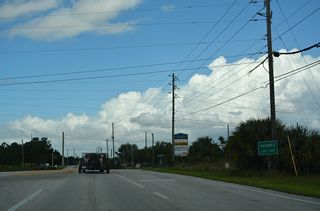
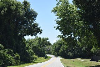
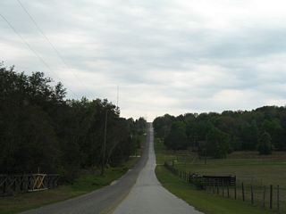
Traveling north from Shepherd Lake and U.S. 27, CR 561 reaches Astatula in seven miles and Tavares in 15 miles.
03/14/08
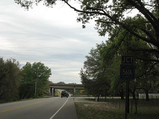
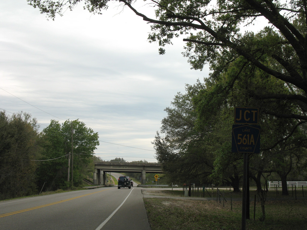
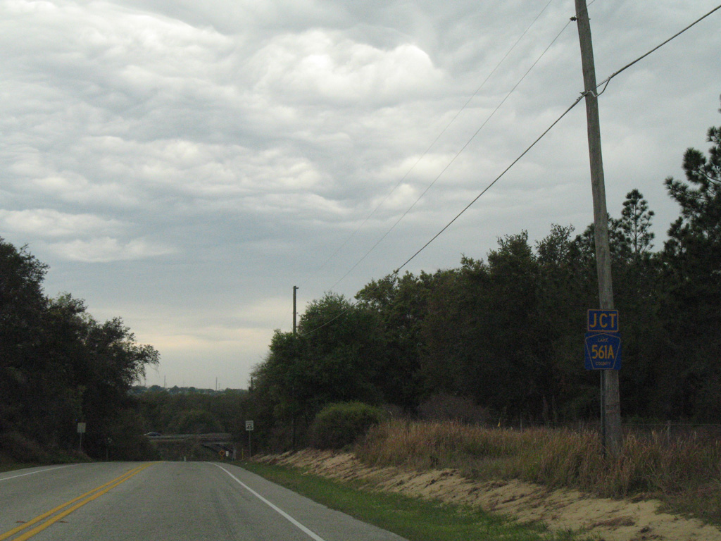
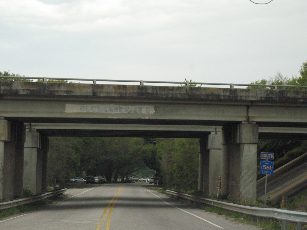
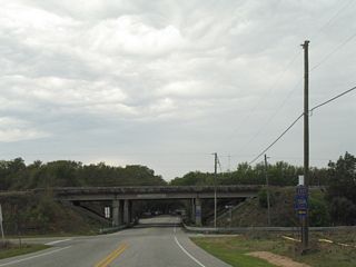
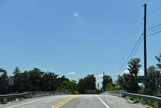
CR 561 passes under Florida's Turnpike ahead of CR 561A east and Turnpike Road west.
03/14/08

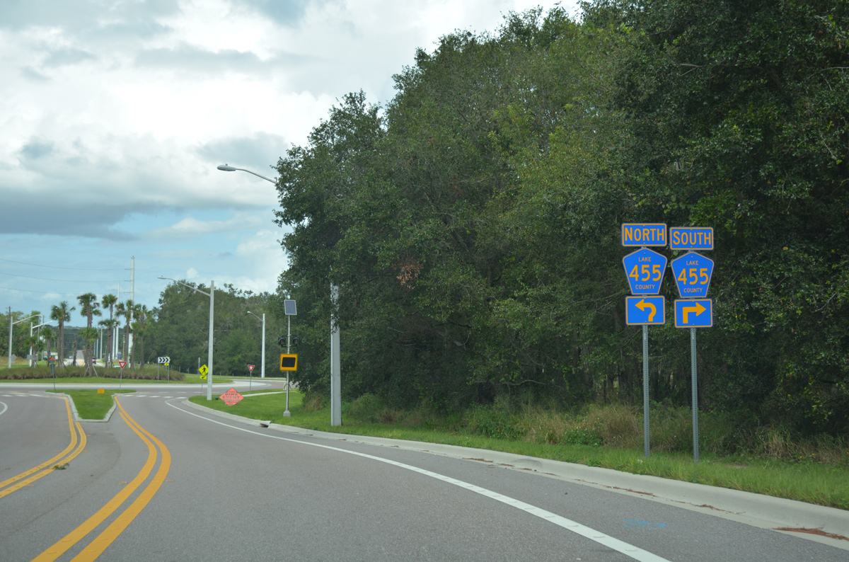
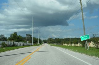
CR 561A is a 3.22 mile long rural route connecting CR 561 with CR 455 at Ferndale. CR 561A passes through annexed areas of Minneola at the Hancock Road extension north from the interchange with Florida's Turnpike opened in 2017.
03/14/08
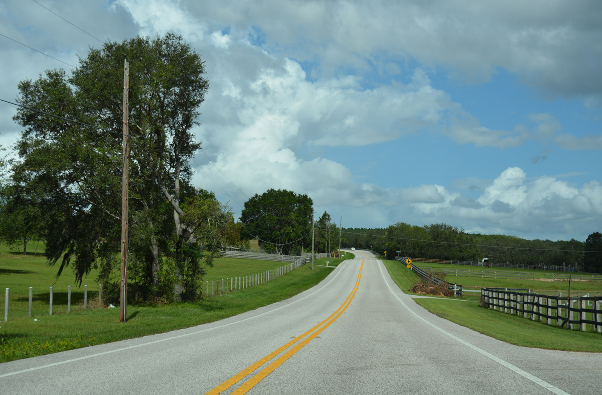
Lake County Road 561 travels just west of Sugarloaf Mountain, the highest point on peninsular Florida along a winding course.
10/19/17
Sugarloaf Mountain Road follows a stair stepped alignment east from CR 565 across Sugarloaf Mountain (el. 312 feet).
10/19/17

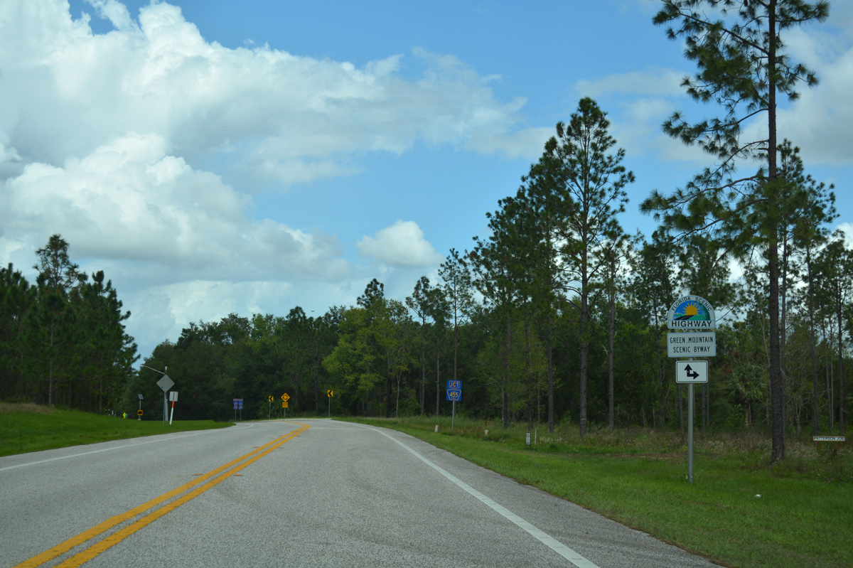
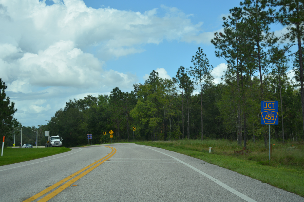
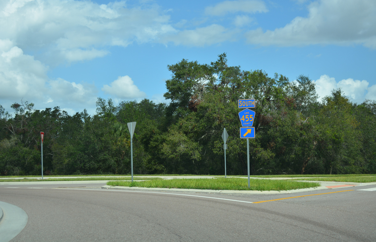
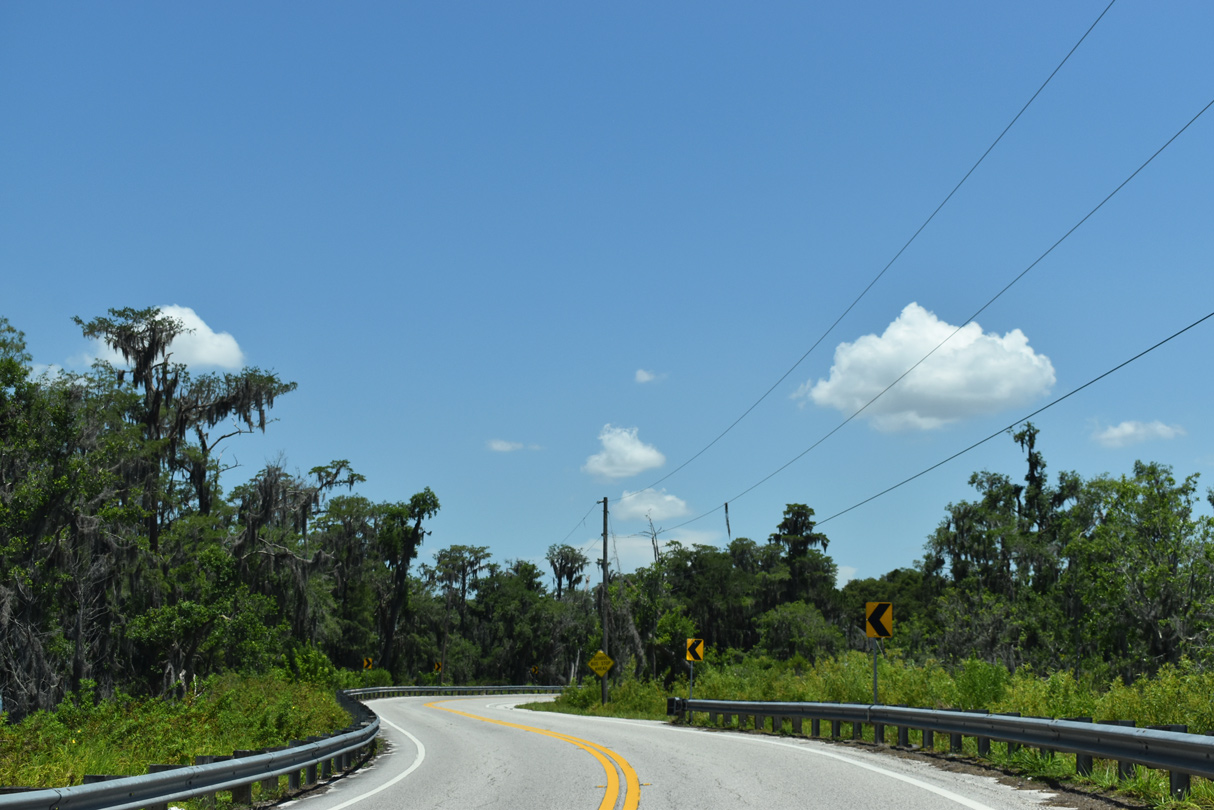
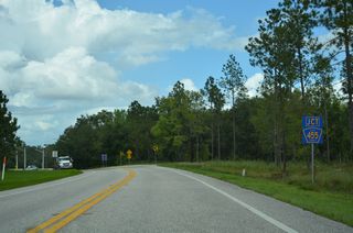
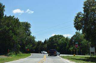
Navigating through an S-curve, CR 561 advances to CR 455, the Green Mountain Scenic Byway.
10/19/17
Forthcoming CR 455 is a 14.29 mile route traveling north from SR 50 in east Clermont to SR 19 west of CR 455.
10/19/17

Replaced by a roundabout, a four-way stop sign accompanied by four two-way ramps formerly connected CR 561 and CR 455.
10/19/17
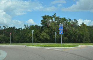
An $800,000 project converted the junction of CR 561/455 into a roundabout. The new traffic pattern debuted in June 2015.2
10/19/17
10/19/17
10/19/17

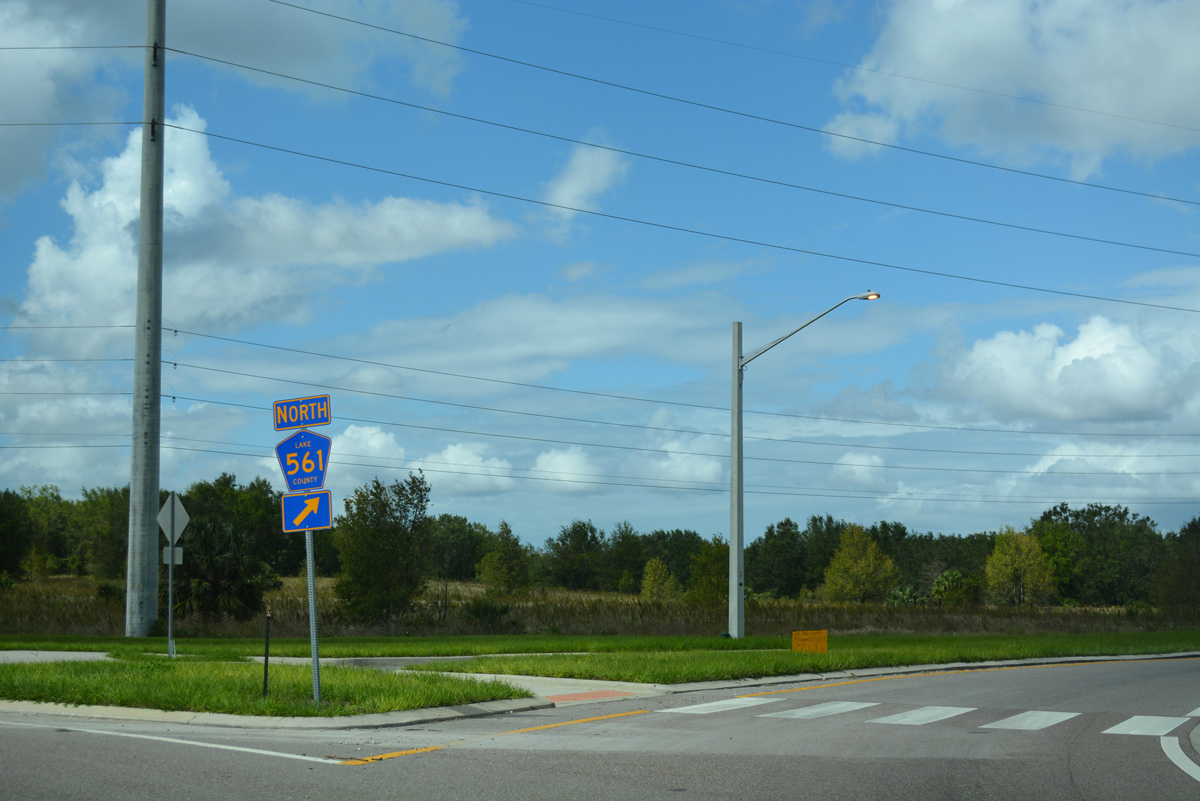
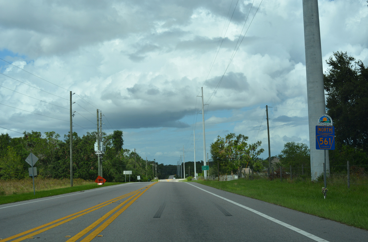
CR 561 advances three miles north from CR 455 to Astatula and 8.8 miles to SR 19 in Tavares.
10/19/17
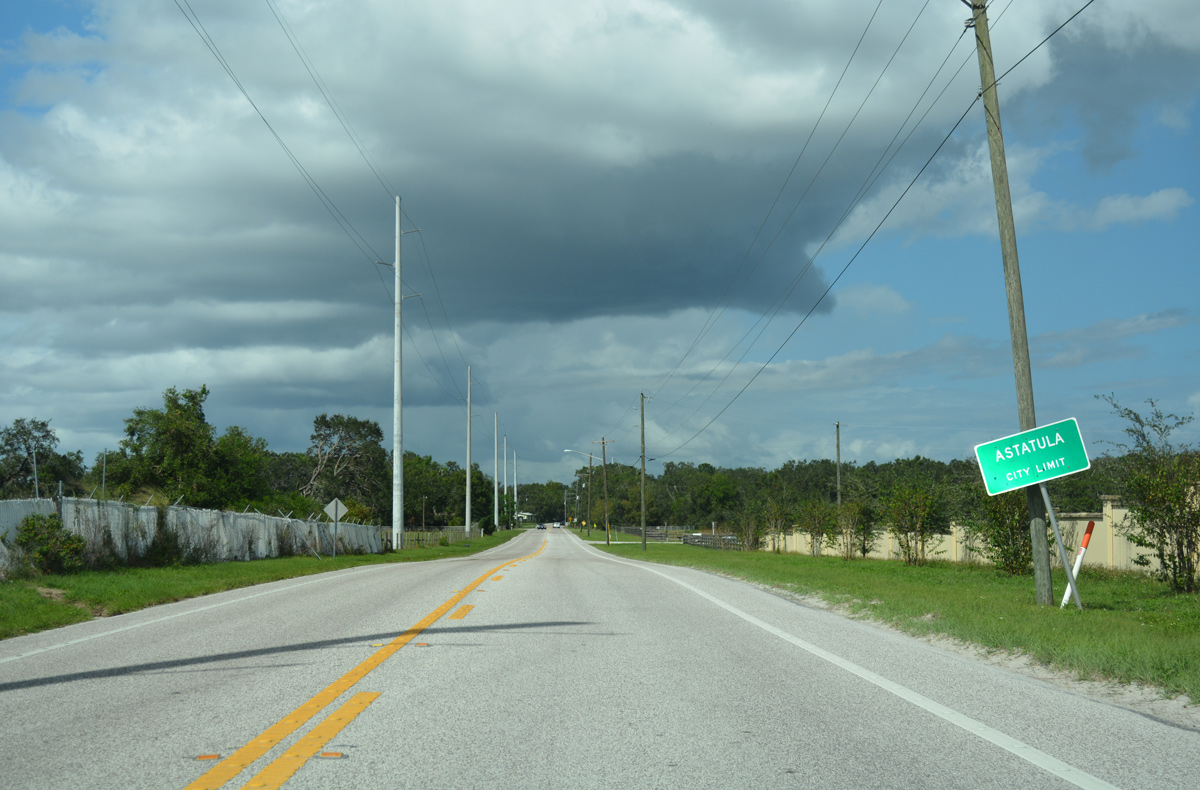
Entering Astatula, a town of around 2,000, Lake County Road 561 transitions onto Monroe Street.
10/19/17
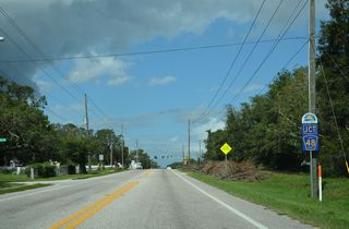
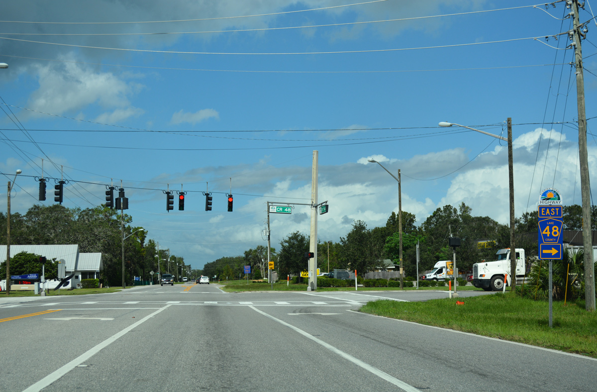
Monroe Street intersects County Road 48 (Florida Avenue) east at the Astatula town center.
10/19/17

The eastern branch of CR 48 is a rural route traveling 4.32 miles from CR 561 (Monroe Street) in Astatula to CR 448A near the Orange County line.
10/19/17
Continuing north through the Astatula street grid on Lake County Road 561 (Monroe Street).
10/19/17
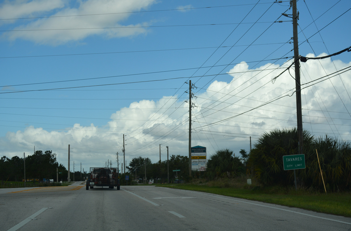
CR 561 northbound reaches the Taveras city limits at Southridge Industrial Drive.
10/19/17

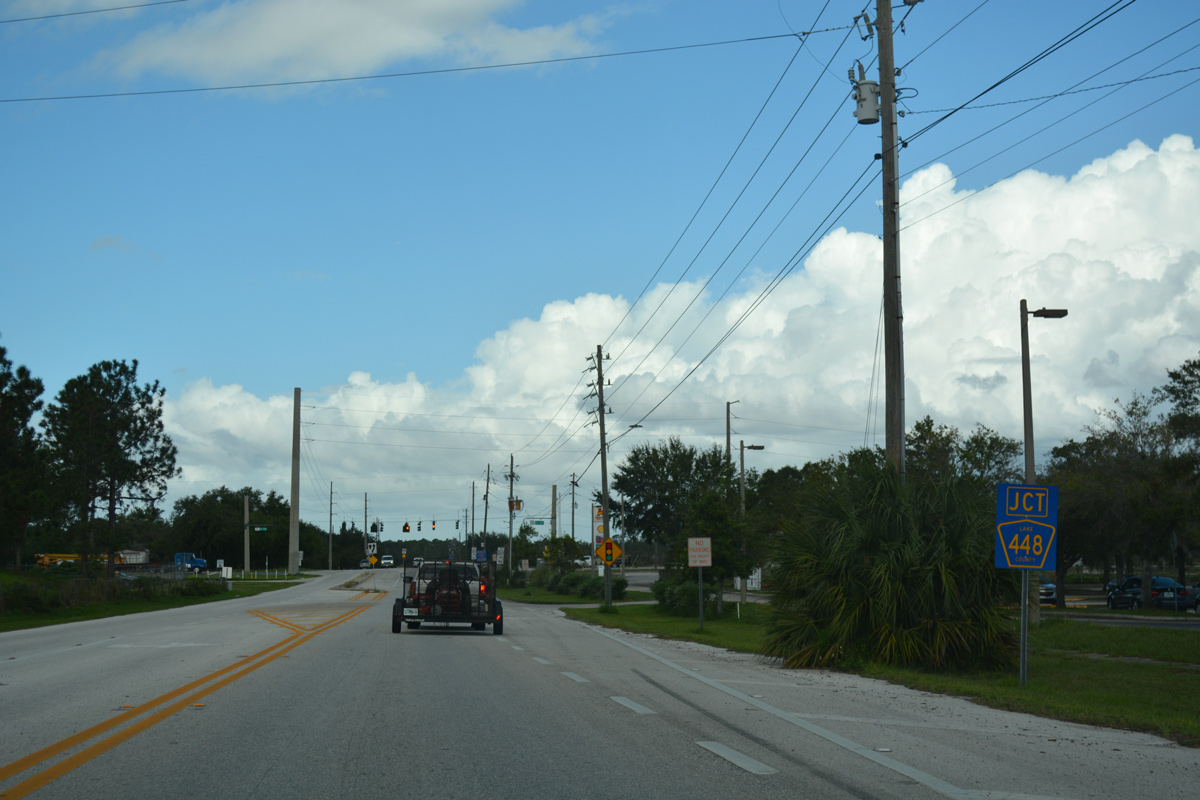
The succeeding intersection northbound along CR 561 in Tavaras is with CR 448.
10/19/17
West from CR 561, CR 448 passes south of Lake Idamere to connect with SR 19 in 1.08 miles.
10/19/17
Overall County Road 448 stretches 9.05 miles east from SR 19 in Tavares to Lake Jem and U.S. 441 (Orange Blossom Trail) in northwest Orange County.
10/19/17
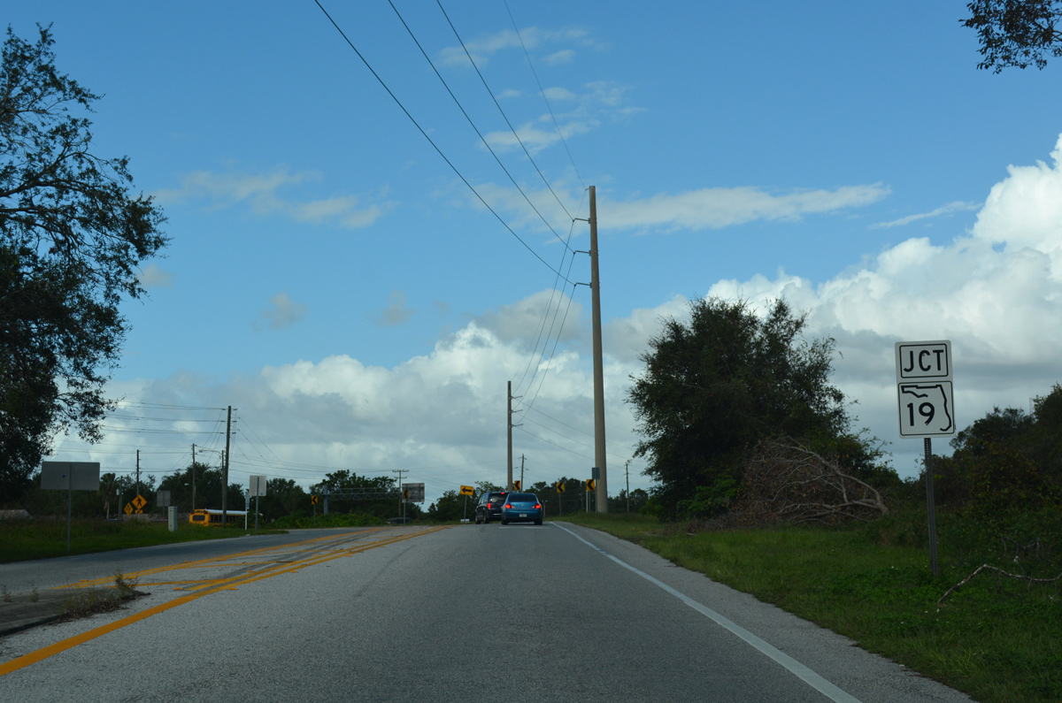
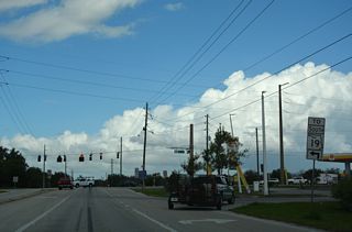
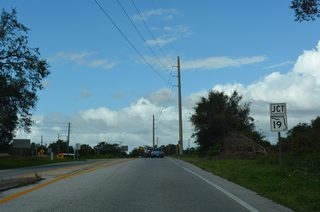
Beyond CR 448, CR 561 curves northwest alongside a Florida Central Railroad line to SR 19 (Duncan Drive).
10/19/17
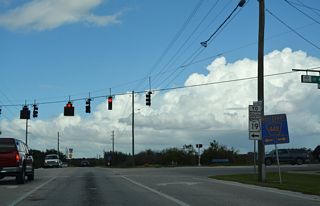
SR 19 and Lake County Road 561 come together just west of Lake Dora and across from Tavares Crossroads shopping center.
10/19/17
Traffic defaults onto SR 19 (Duncan Drive) north toward Downtown Tavares and U.S. 441 to Eustis and Leesburg.
10/19/17
South
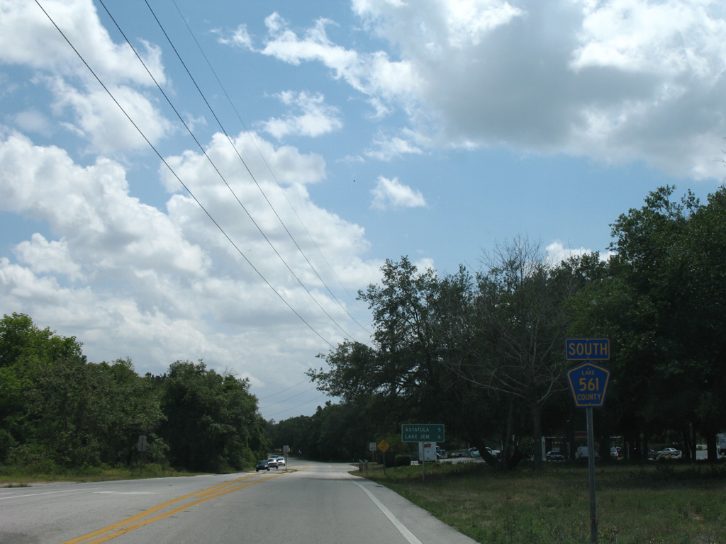
Lake County Road 561 branches southeast from SR 19 in south Tavares.
04/28/08

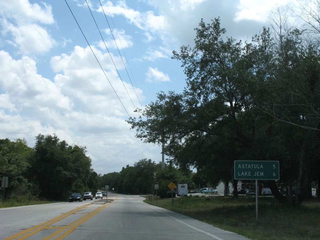
The town of Astatula lies five miles south from SR 19 along County Road 561 south. Lake Jem is a six mile drive to the east via County Road 448.
04/28/08

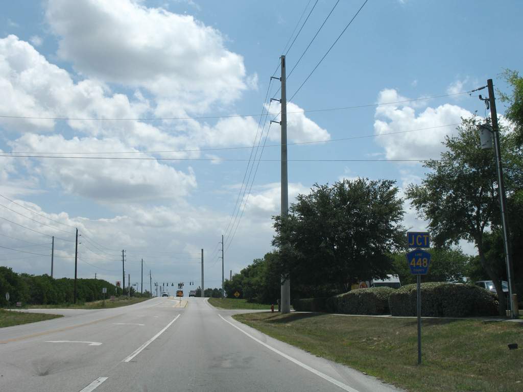
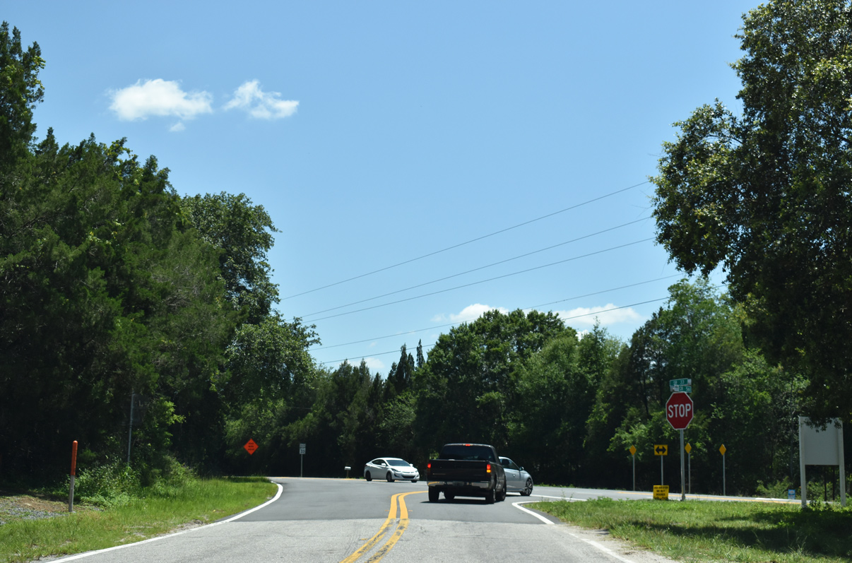
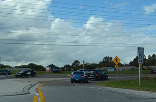
County Road 561 crosses paths with County Road 448 at a traffic light east of Lake Idamere.
04/28/08
East from the industrial south side of Tavares, CR 448 parallels a Florida Central Railroad line five miles to Lake Jem.
04/28/08

CR 448 connects SR 19 to the west with U.S. 441 (Orange Blossom Trail) near Zellwood, 9.05 miles to the east.
04/28/08

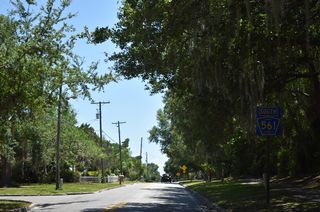
Confirming shield for CR 561 posted south of the roundabout with CR 455 near Sugarloaf Mountain.
03/14/08

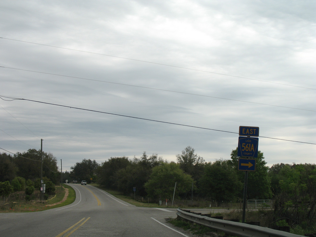
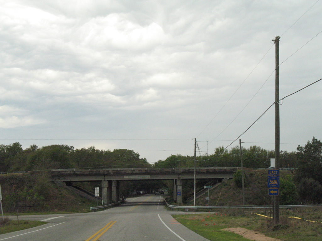
CR 561A travels west from CR 455 at Ferndale to meet CR 561 just ahead of Florida's Turnpike.
03/14/08
Hancock Road stems south from Lake County Road 561, 1.8 miles to the east to a 2017-opened interchange with Florida's Turnpike and suburban areas of Minneola.
03/14/08
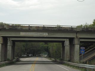
Passing under Florida's Turnpike south of CR 561A and Turnpike Road west.
03/14/08
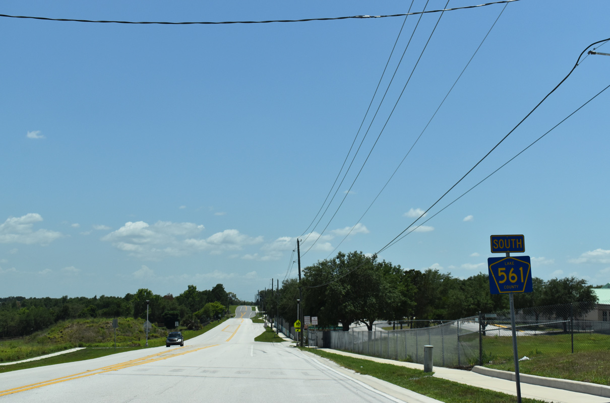
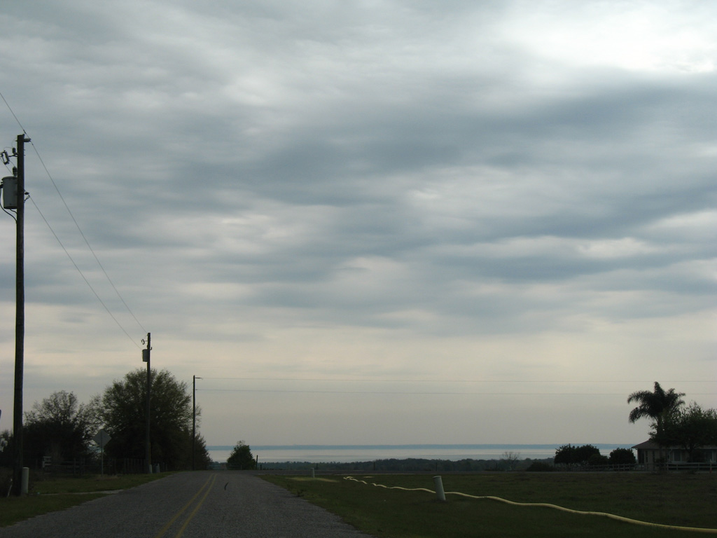
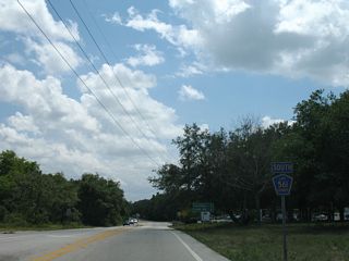
Confirming marker posted for CR 561 (12th Street) south opposite Linden Street in Clermont. The second branch of CR 561 stems south from SR 50, concluding 11.5 miles ahead at SR 33.
05/22/20
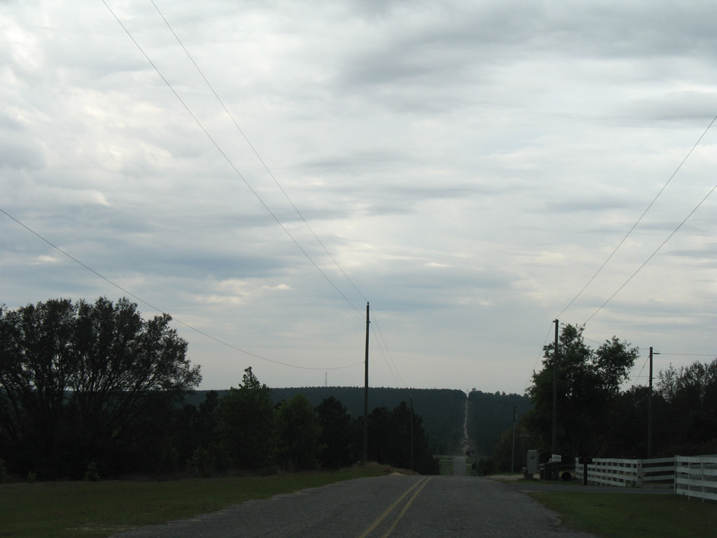
CR 561 (12th Street) turns west to follow Minnehaha Avenue out of Clermont.
05/22/20
05/22/20
Palatlakaha Creek forms part of the Clermont chain of lakes, joining Lake Minnehaha with Lake Minneola.
05/22/20
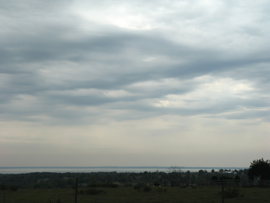
CR 561 traverses portions of the Green Swamp, a critical recharge for the Florida aquifer system.
05/22/20

05/22/20

05/22/20
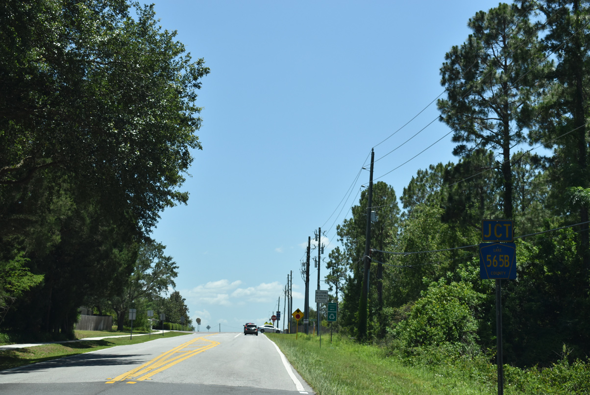
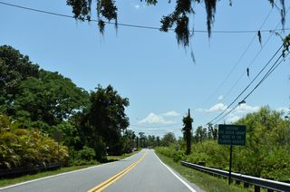
CR 565B (Pine Island Road) stems 3.66 miles west, connecting CR 561 with SR 33 south of Groveland.
05/22/20

05/22/20

05/22/20
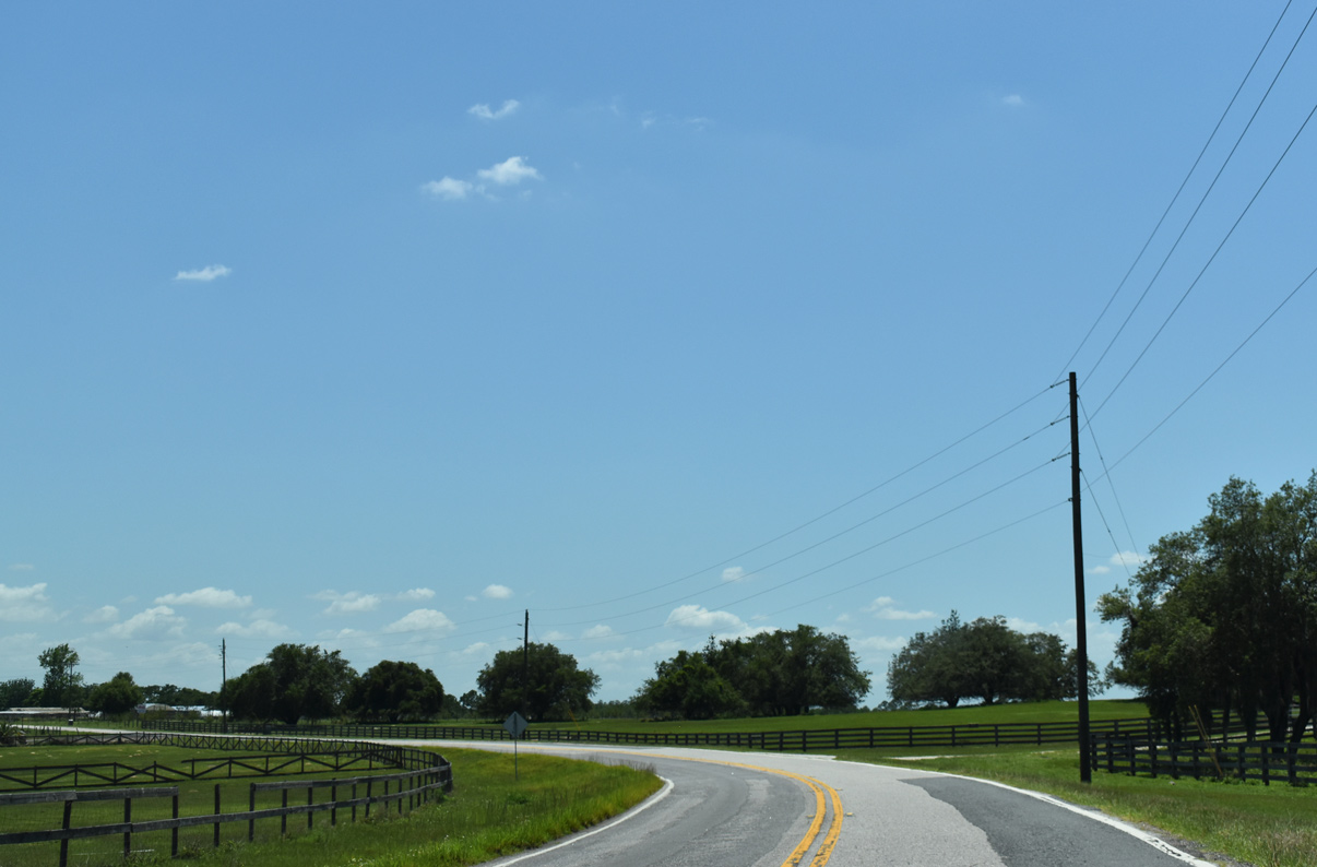
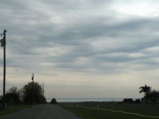
CR 561 concludes its 12 mile run at SR 33 near Alligator Lake Swamp. SR 33 joins Groveland with Polk City, 16 miles to the south.
05/22/20
Scenes
Sugarloaf Mountain Road stems east from Lake County Road 561 onto Sugarloaf Mountain.
03/14/08
Lake Apopka spreads into view east from the summit of Sugarloaf Mountain (el. 312 feet).
03/14/08
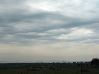
Lake Apopka spreads into view east from the summit of Sugarloaf Mountain (el. 312 feet).
03/14/08

Sugarloaf Mountain Road makes a 90 degree turn south from the summit.
03/14/08
Page Updated Tuesday March 01, 2022.