
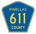
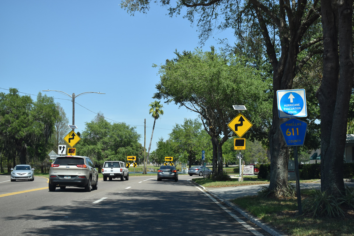
County Road 611 North
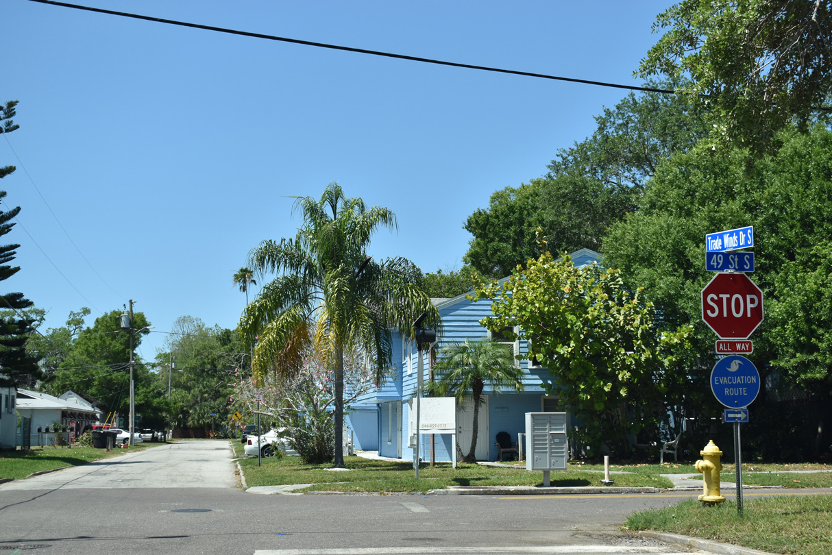
CR 611 begins north along 49th Street S from the intersection with Tradewinds Drive S west and 31st Avenue S east in the city of Gulfport.
04/03/20
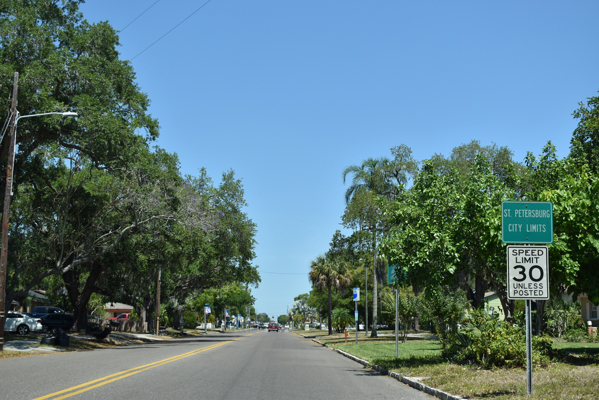
49th Street runs north along the Gulfport and St. Petersburg city line from 26th Avenue S to the Pinellas Trail.
04/03/20
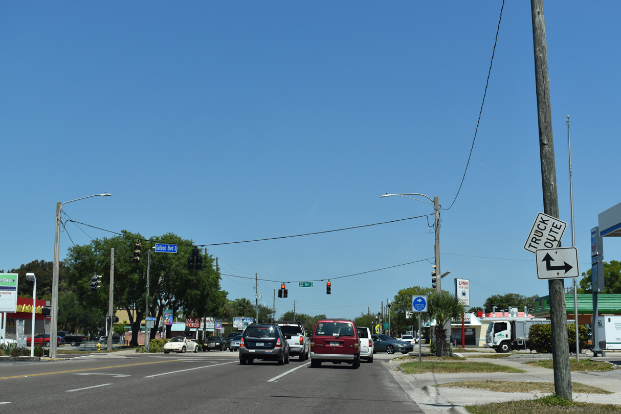
Gulfport Boulevard west to SR 693 (Pasadena Avenue) in South Pasadena and 22nd Avenue S east to U.S. 19 (34th Street S) in St. Petersburg is Pinellas County Road 138.
04/03/20
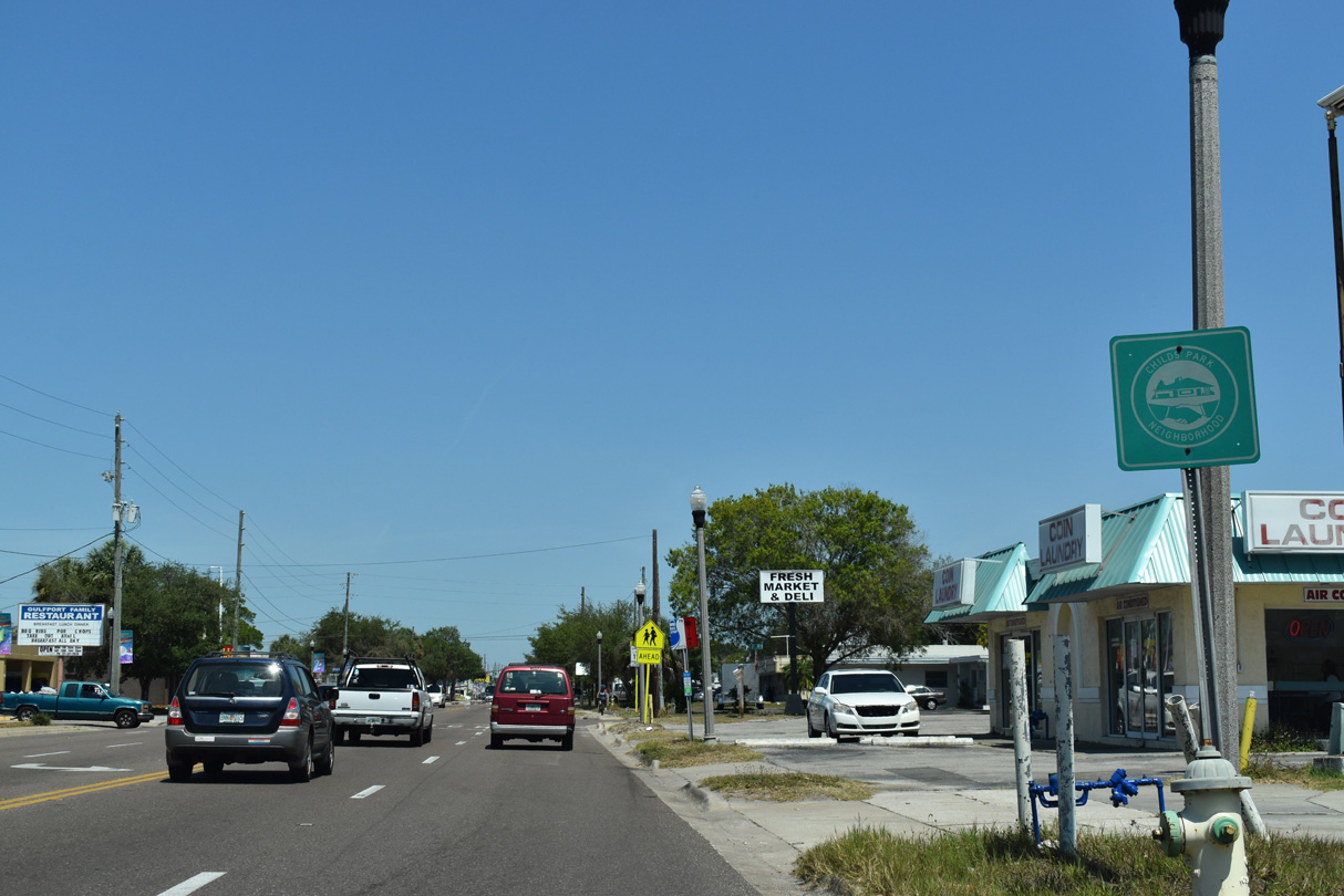
The Childs Park neighborhood in St. Petersburg lines the east side of 49th Street N northward from CR 138 (22nd Avenue S).
04/03/20
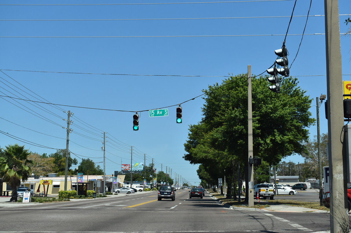
15th Avenue S heads west across Gulfport to CR 138 (Gulfport Boulevard) and east through the Childs Park neighborhood to U.S. 19 (34th Street S).
04/03/20
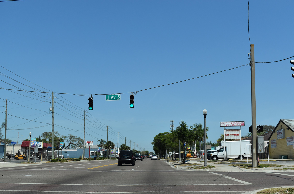
11th Avenue S leads west to Boca Ciega High School in north Gulfport.
04/03/20
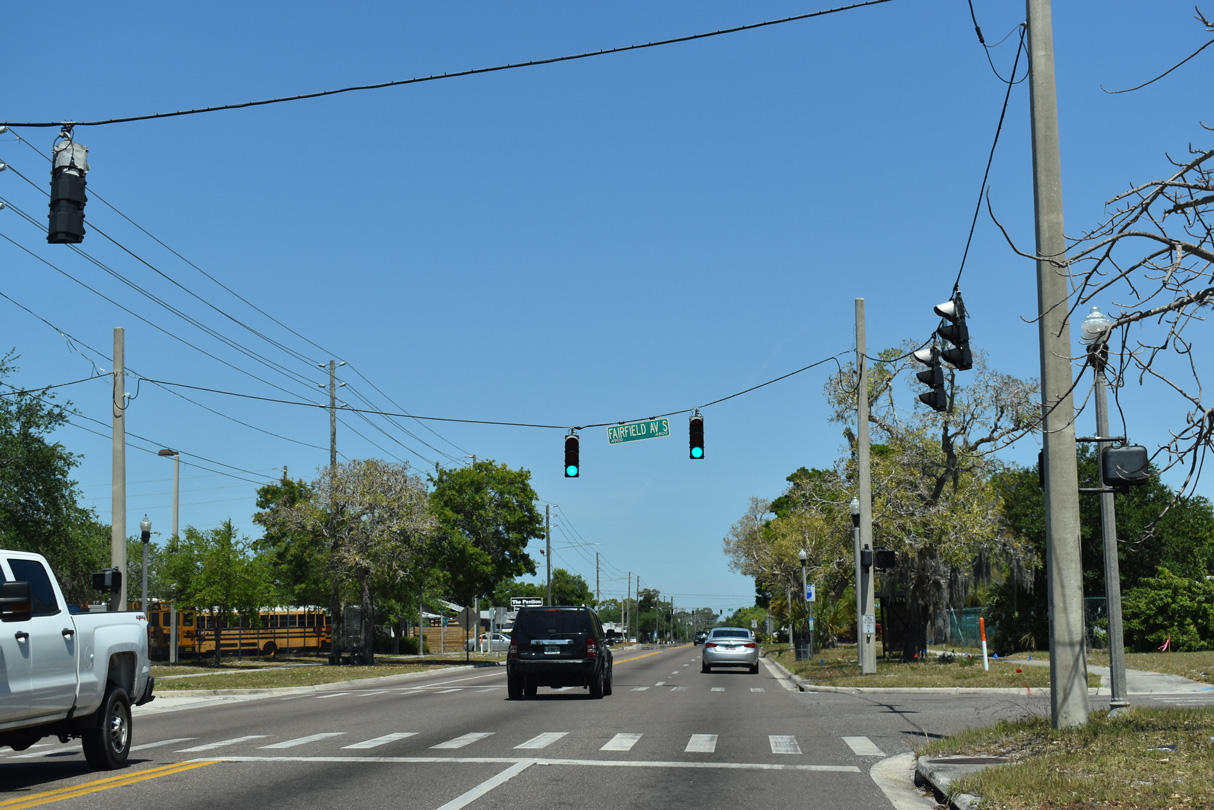
CR 611 (49th Street S) north at Fairfield Avenue S in the city of St. Petersburg.
04/03/20
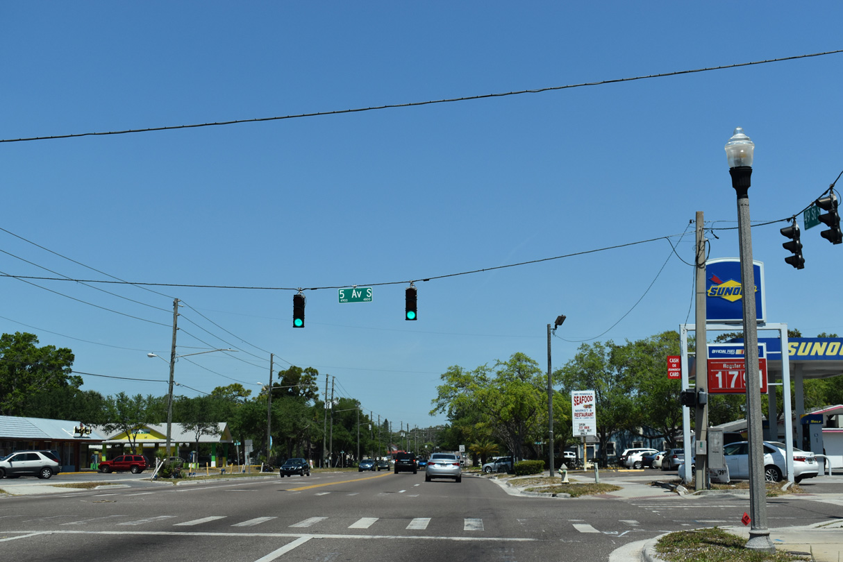
5th Avenue S runs east from 49th Street S to Tropicana Field.
04/03/20
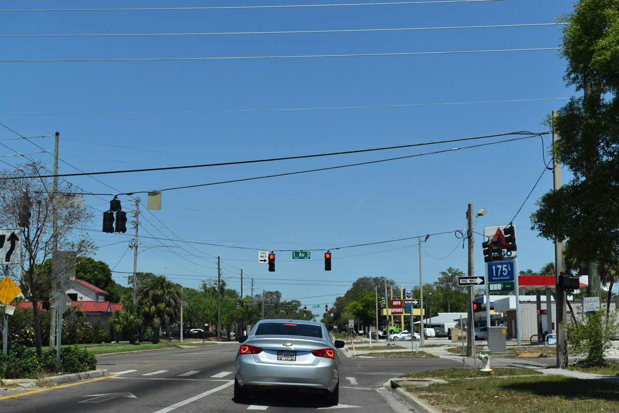
1st Avenue S and 1st Avenue N form a couplet paralleling Central Avenue between SR 693 at the Pasadena neighborhood and Downtown St. Petersburg.
04/03/20
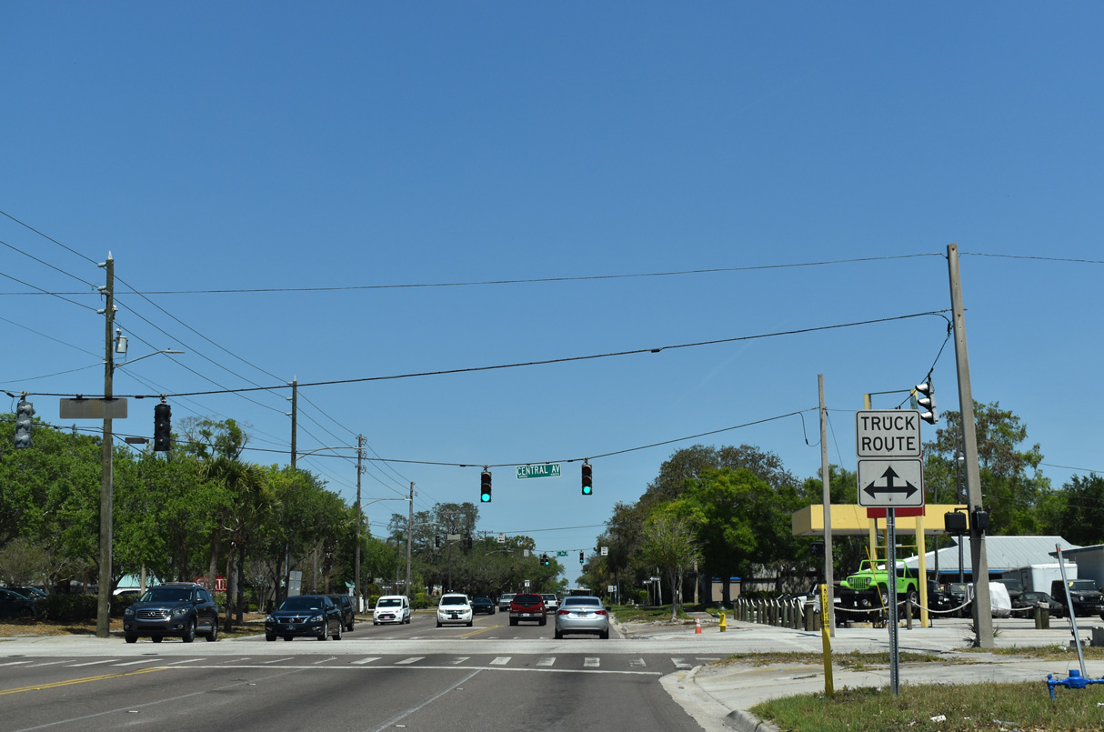
Starting from Bayshore Drive in Downtown St. Petersburg, Central Avenue (CR 150) heads west across the city to Treasure Island Causeway to the city of Treasure Island.
04/03/20
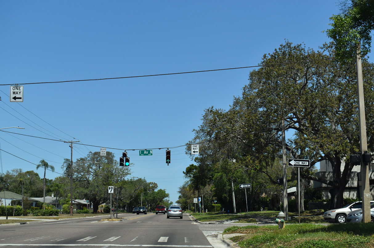
CR 611 (49th Street N) at 1st Avenue N. Central Avenue represents the dividing line between North and South street suffixes in St. Petersburg and throughout southern Pinellas County.
04/03/20
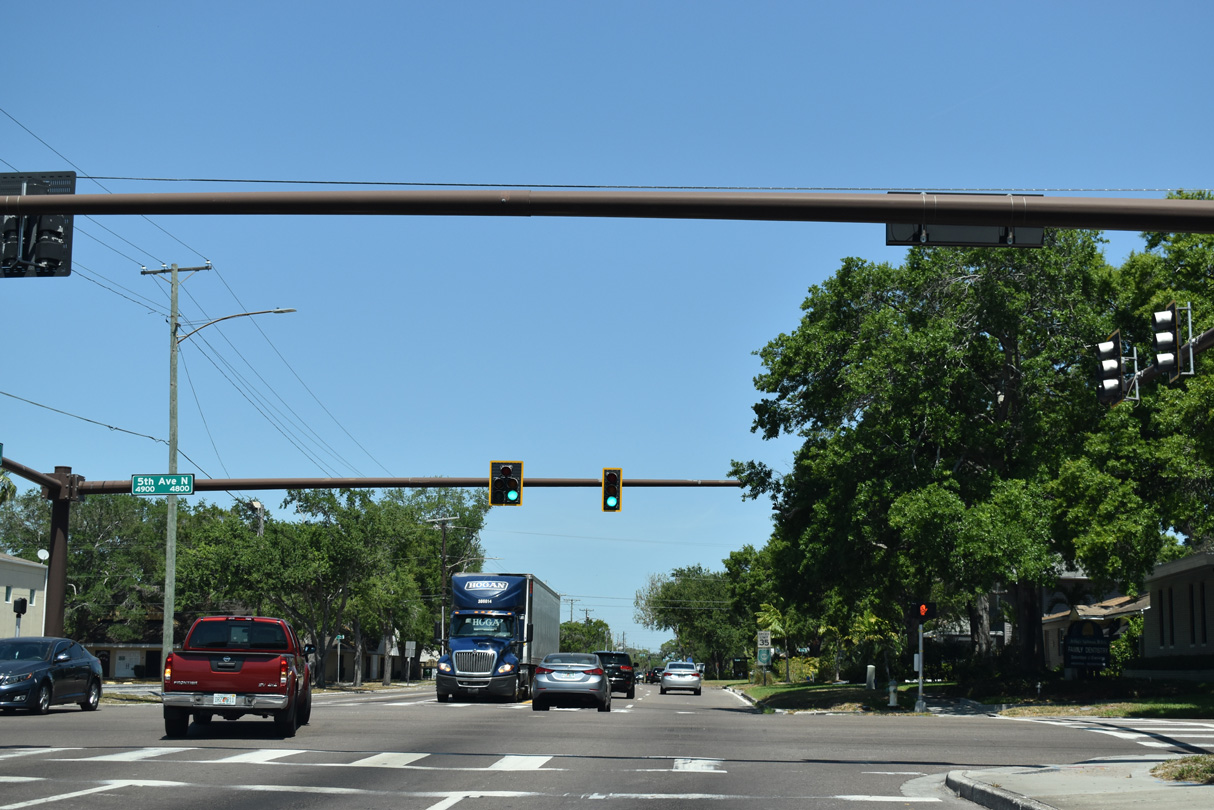
Unmarked from 49th Street N, 5th Avenue N is part of U.S. 19 ALT between U.S. 92 (4th Street S) outside Downtown St. Petersburg and Tyrone Boulevard at 59th Street N.
04/03/20
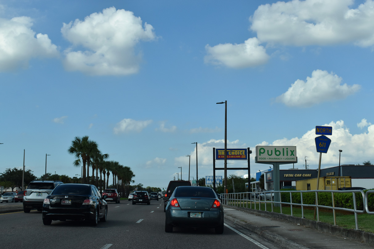
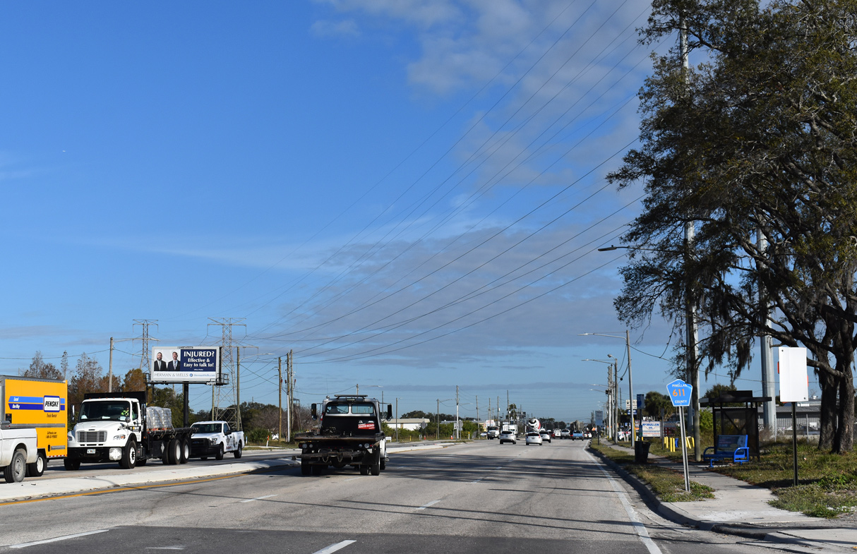
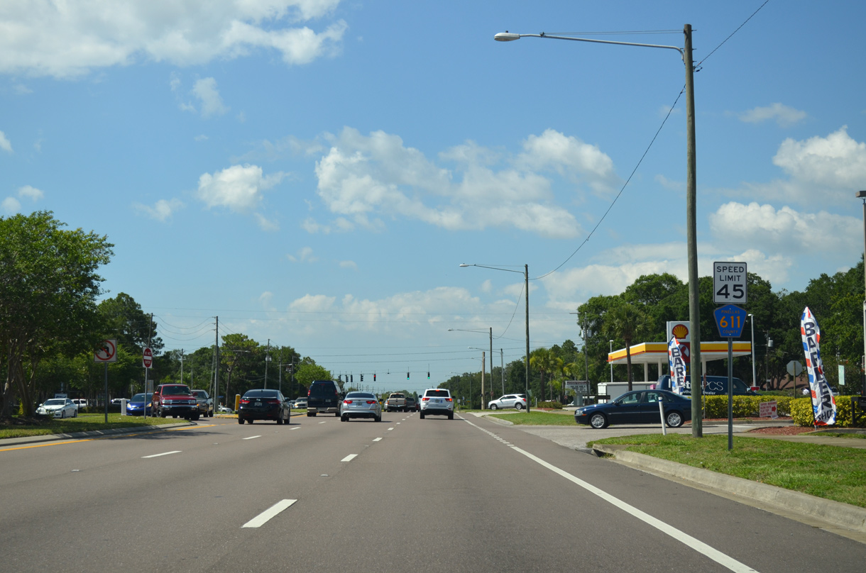
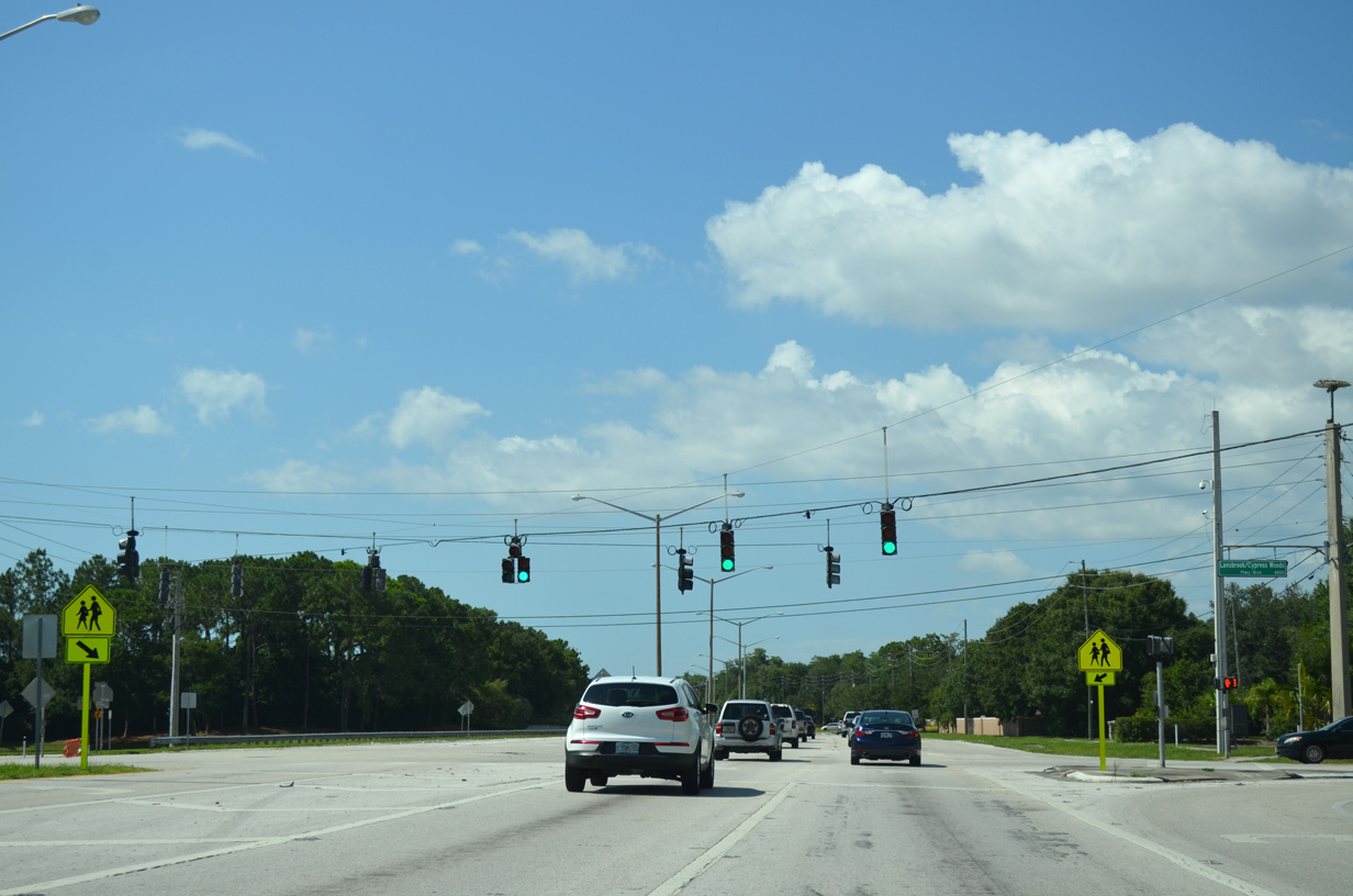
The first shield for County Road 611 north appears beyond 5th Avenue S (U.S. 19 Alternate) between the Central Oak Park and Disston Heights neighborhoods in St. Petersburg. 49th Street generally consists of a four lane boulevard through residential areas of west St. Pete.
04/03/20
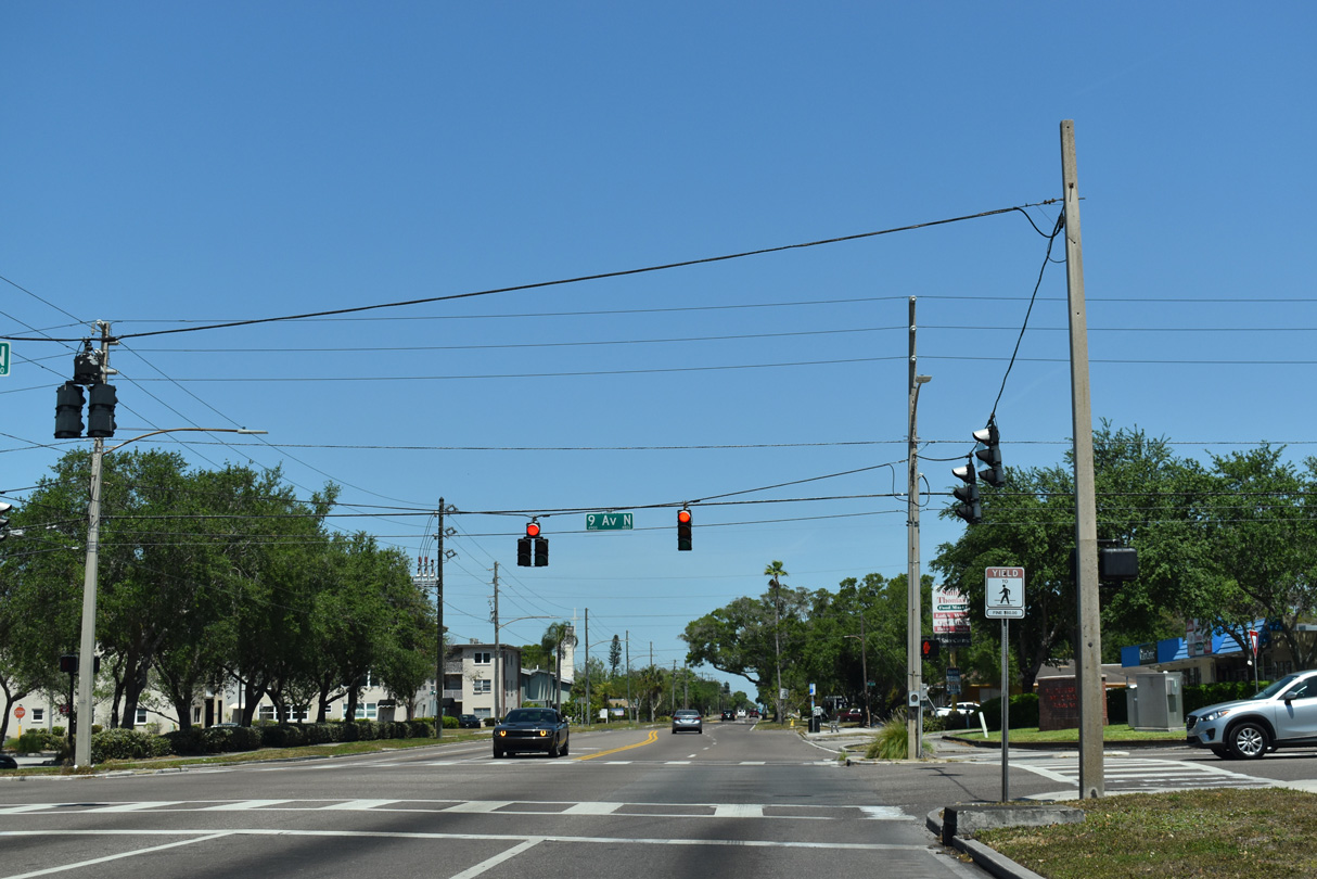
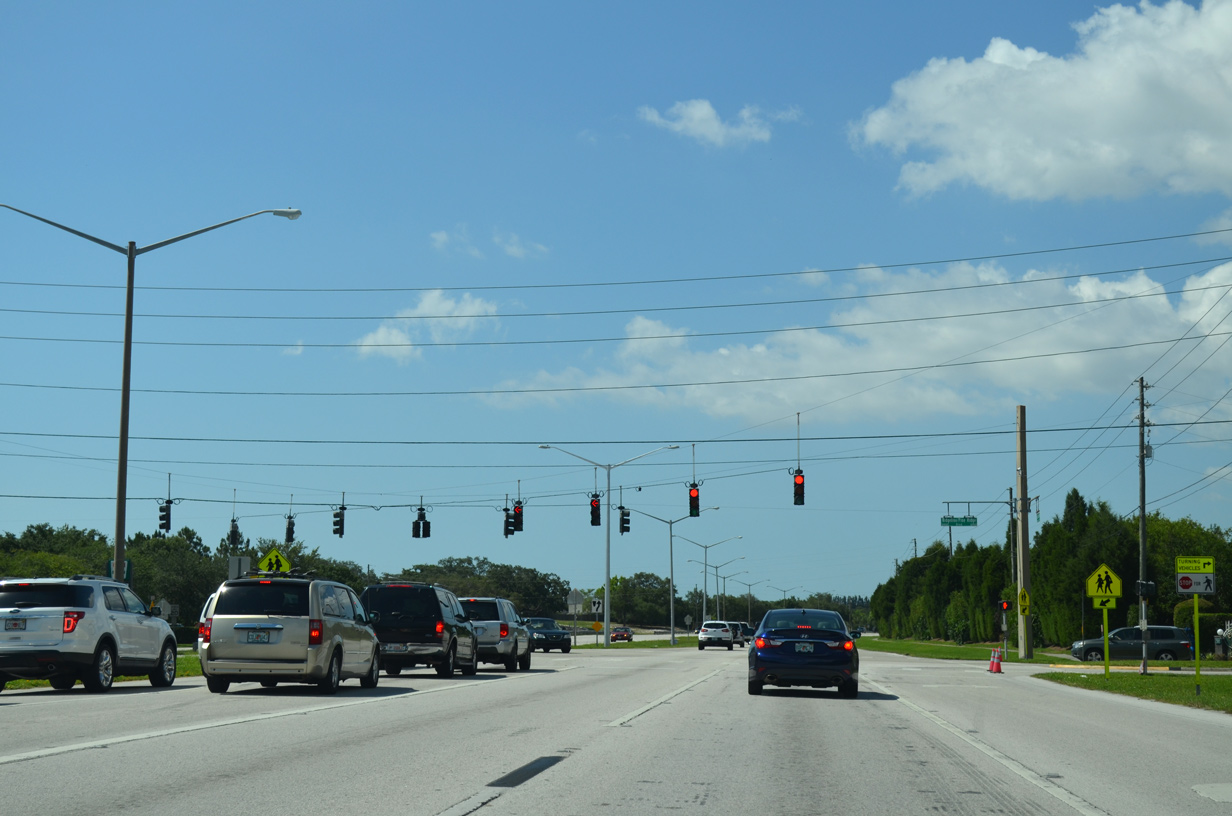
The succeeding traffic light on 49th Street N northbound is at 9th Avenue N.
04/03/20
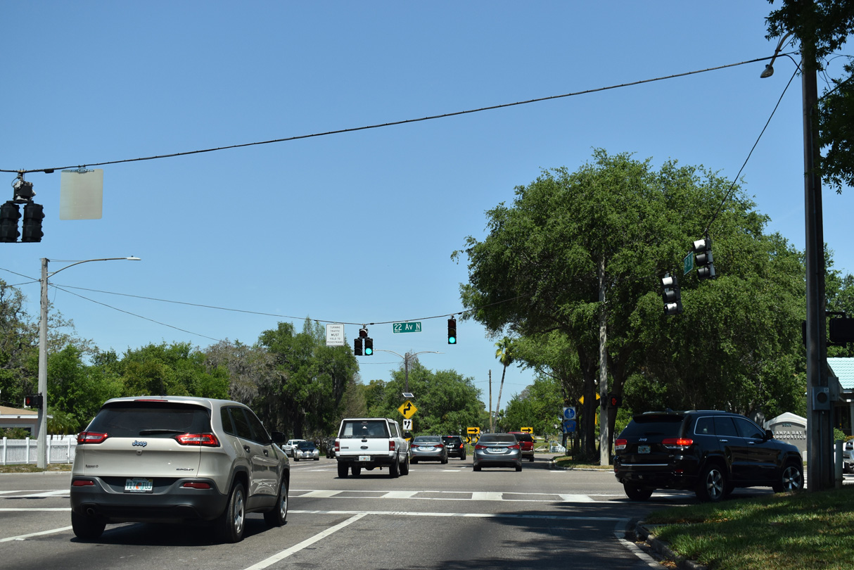
22nd Avenue N is an urban arterial stretching 5.41 miles across St. Petersburg between U.S. 19 ALT near Tyrone Square Mall and U.S. 92 (4th Street N) by the Crescent Lake neighborhood.
04/03/20
North from 22nd Avenue N, CR 611 (49th Street N) separates into a couplet around Lake Sheffield.
04/03/20
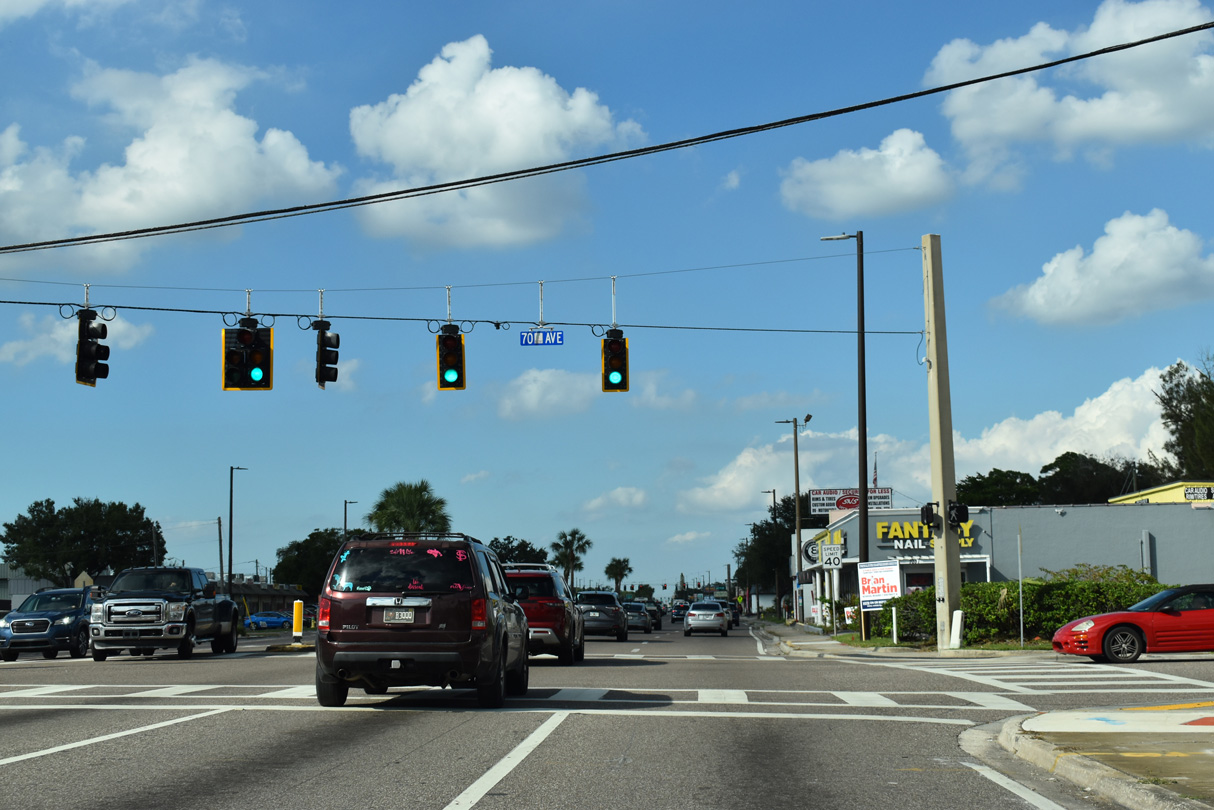
CR 611 (49th Street N) north at 70th Avenue N in the city of Pinellas Park.
10/14/22
Forthcoming SR 694 (Park Boulevard) connects Pinellas Park with Interstate 275 in north St. Petersburg.
10/14/22
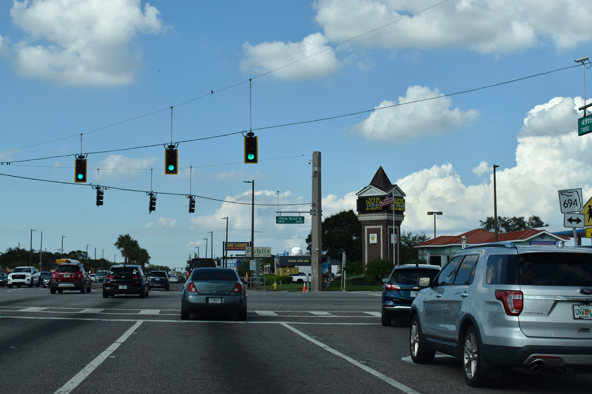
SR 694 lines Park Boulevard west from CR 611 to SR 693 (66th Street N) in Pinellas Park. Park Boulevard west from SR 693 to Seminole and SR 699 (Gulf Boulevard) in Indian Shores is CR 694.
10/14/22
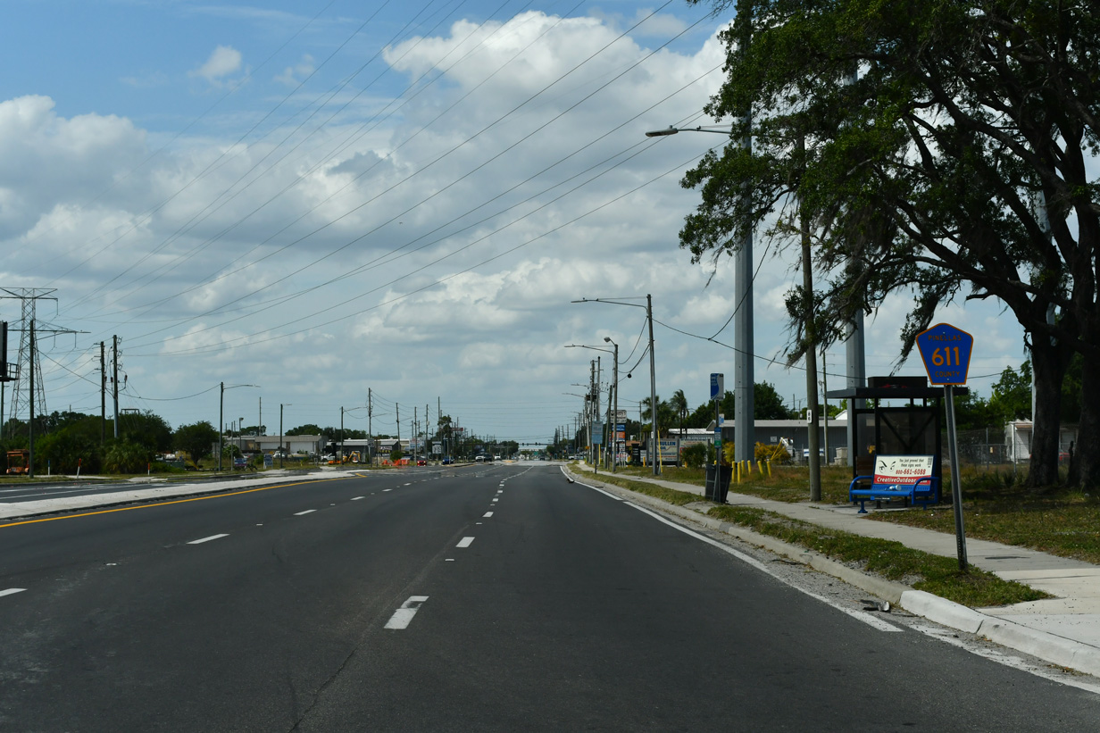
Confirming marker for CR 611 posted north of SR 694 (Park Boulevard).
10/14/22
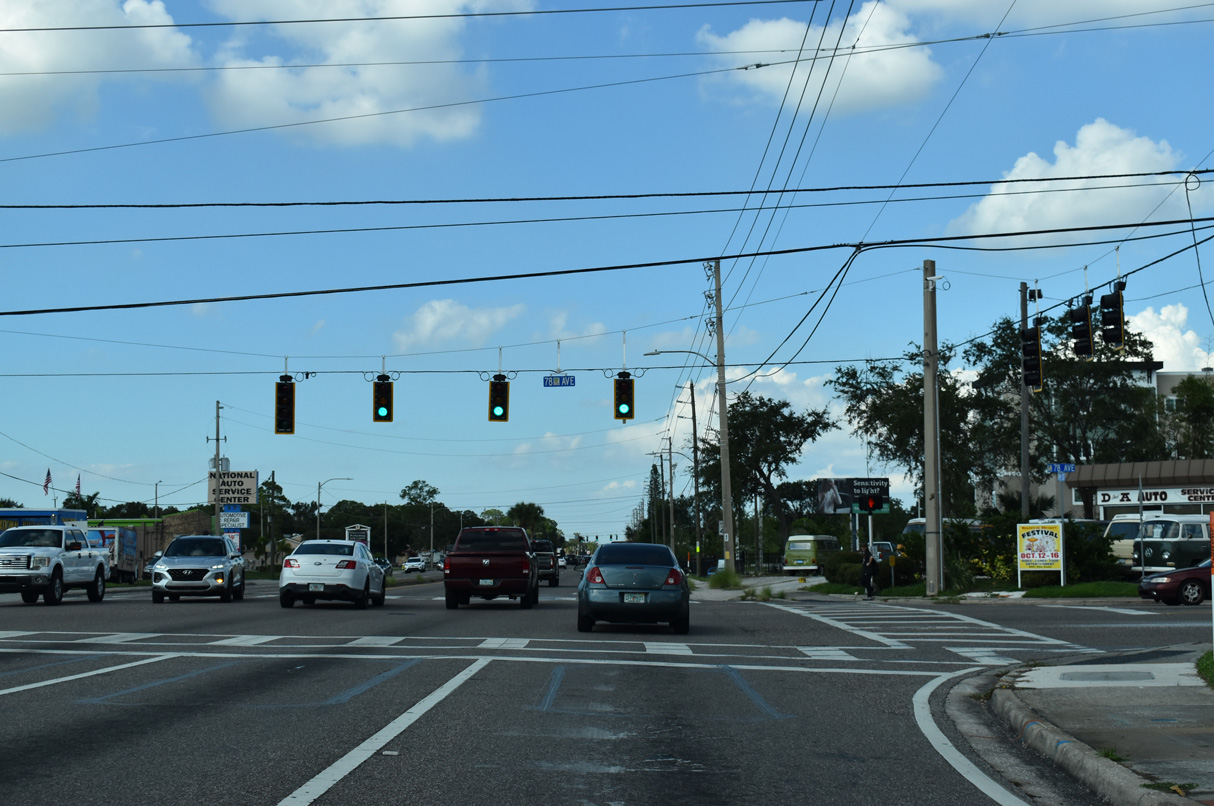
78th Avenue N is a major collector from SR 693 (66th Street N) east 2.59 miles across 49th Street N to U.S. 19.
10/14/22
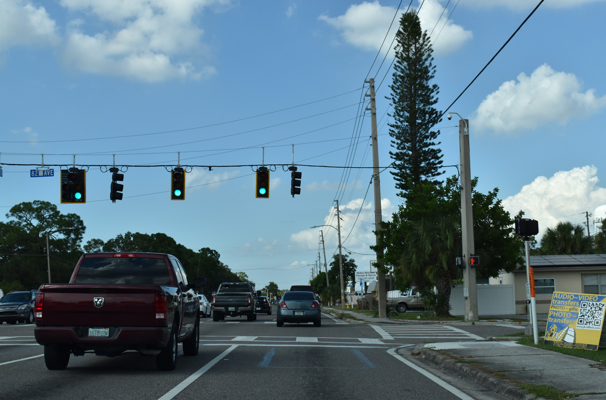
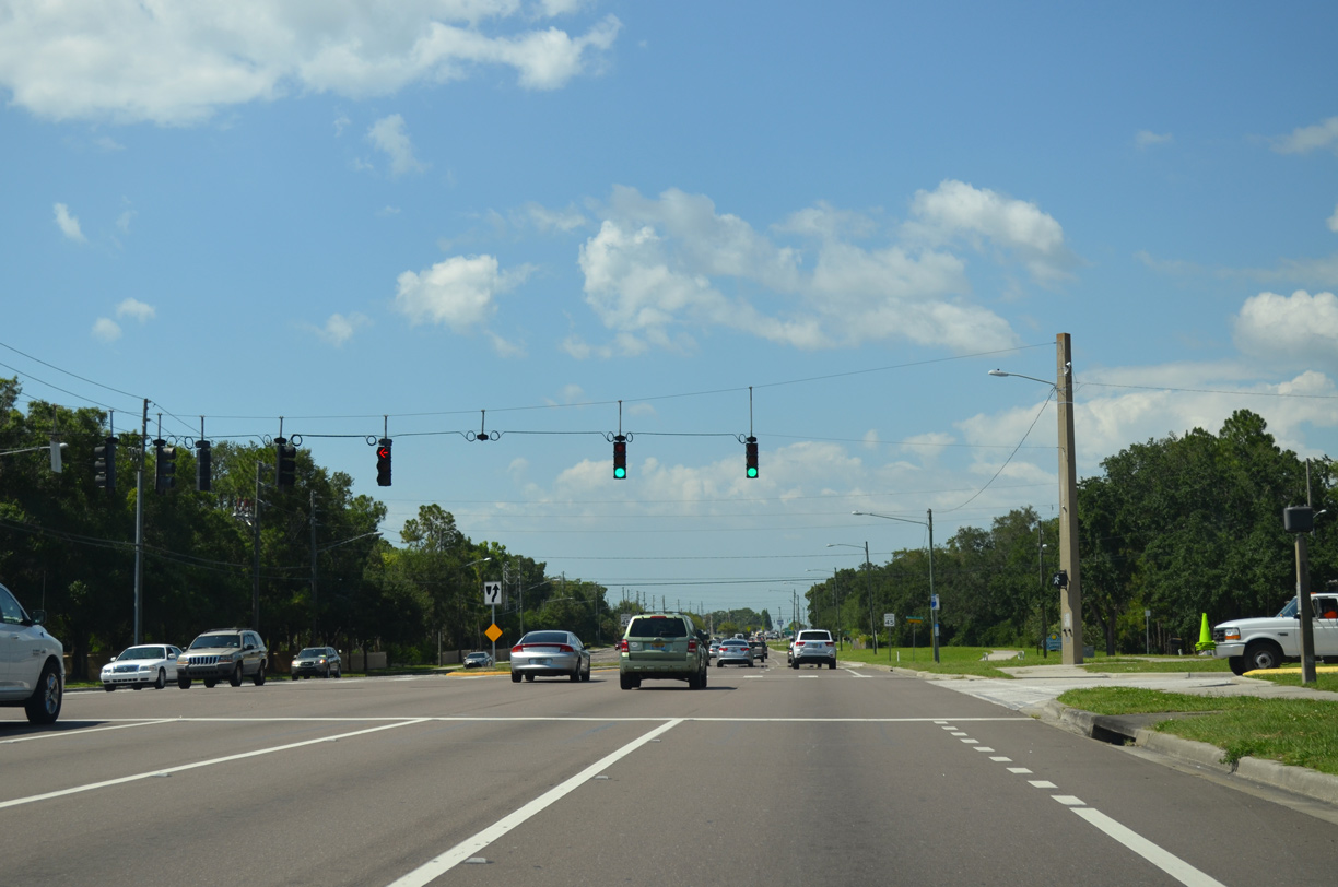
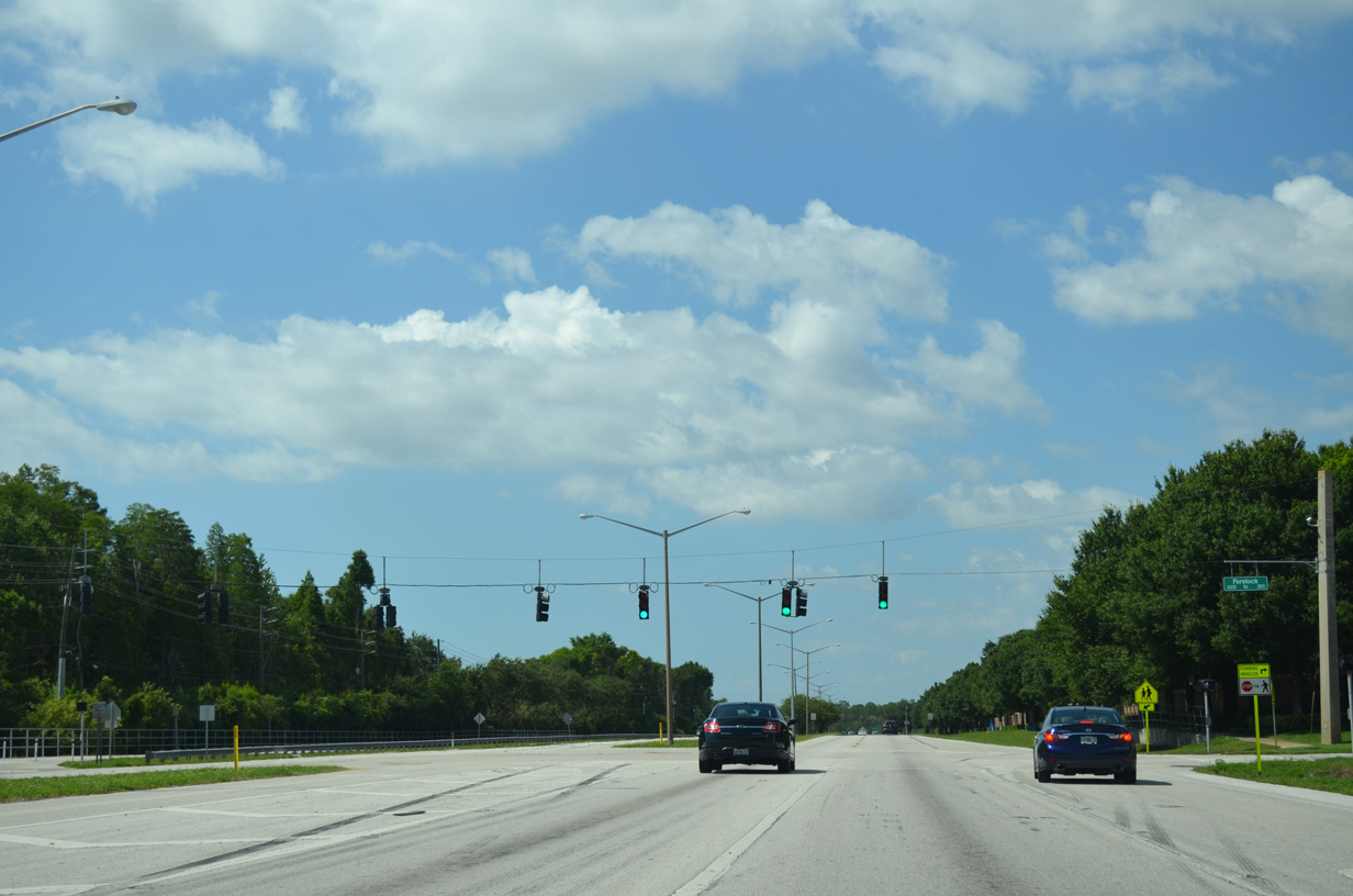
82nd Avenue N intersects 49th Street N at the next traffic light northbound.
10/14/22
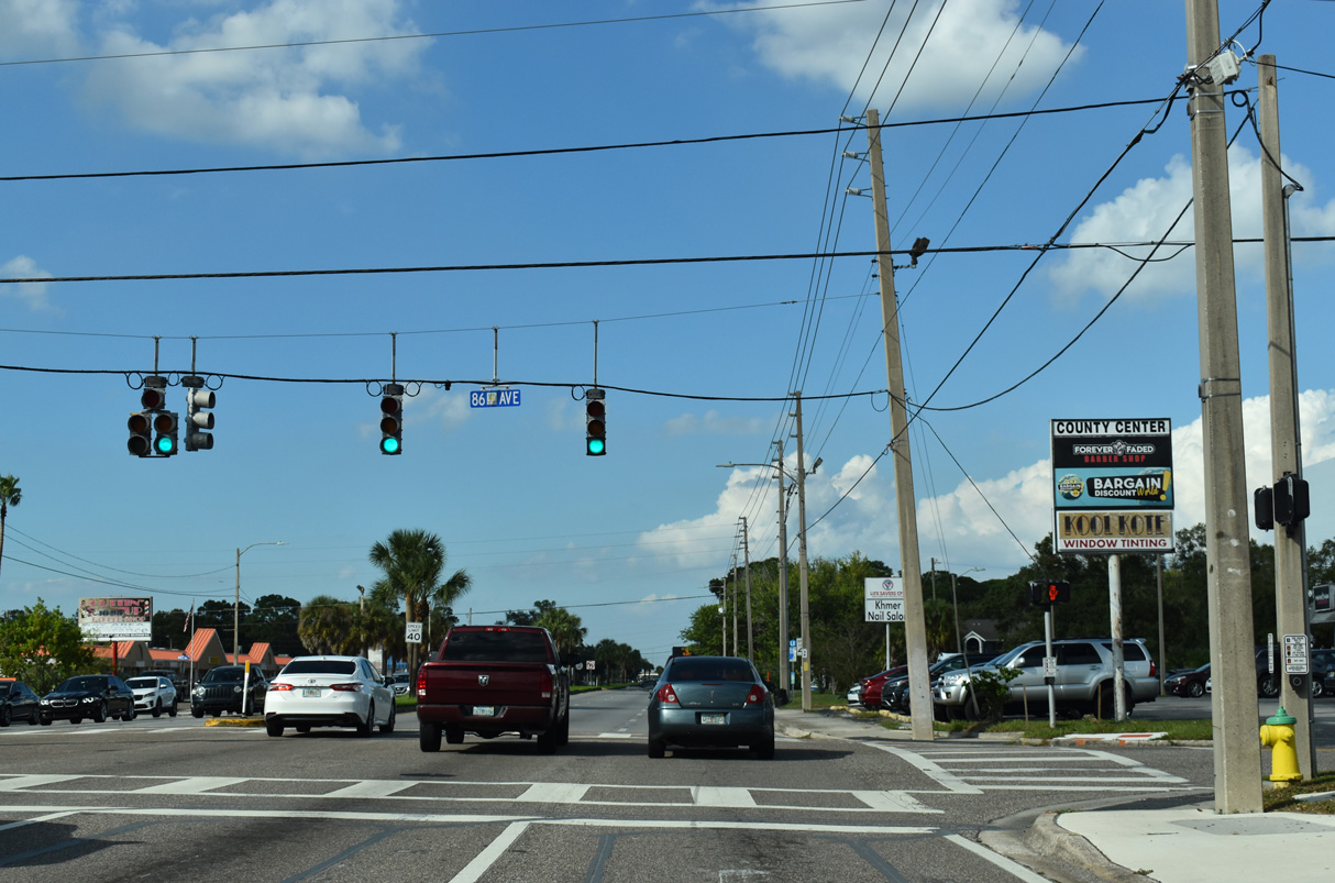
86th Avenue N is a residential street west from 46th Street N to Skyview Elementary at 60th Street.
10/14/22
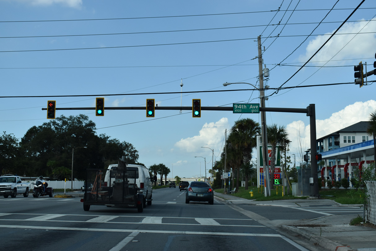
94th Avenue N runs across Pinellas Park west from CR 611 to Helen Howarth Park and SR 693 (66th Street N).
10/14/22
U.S. 19 angles northwest across CR 611 at a parclo B2 interchange with 49th Street N.
10/14/22
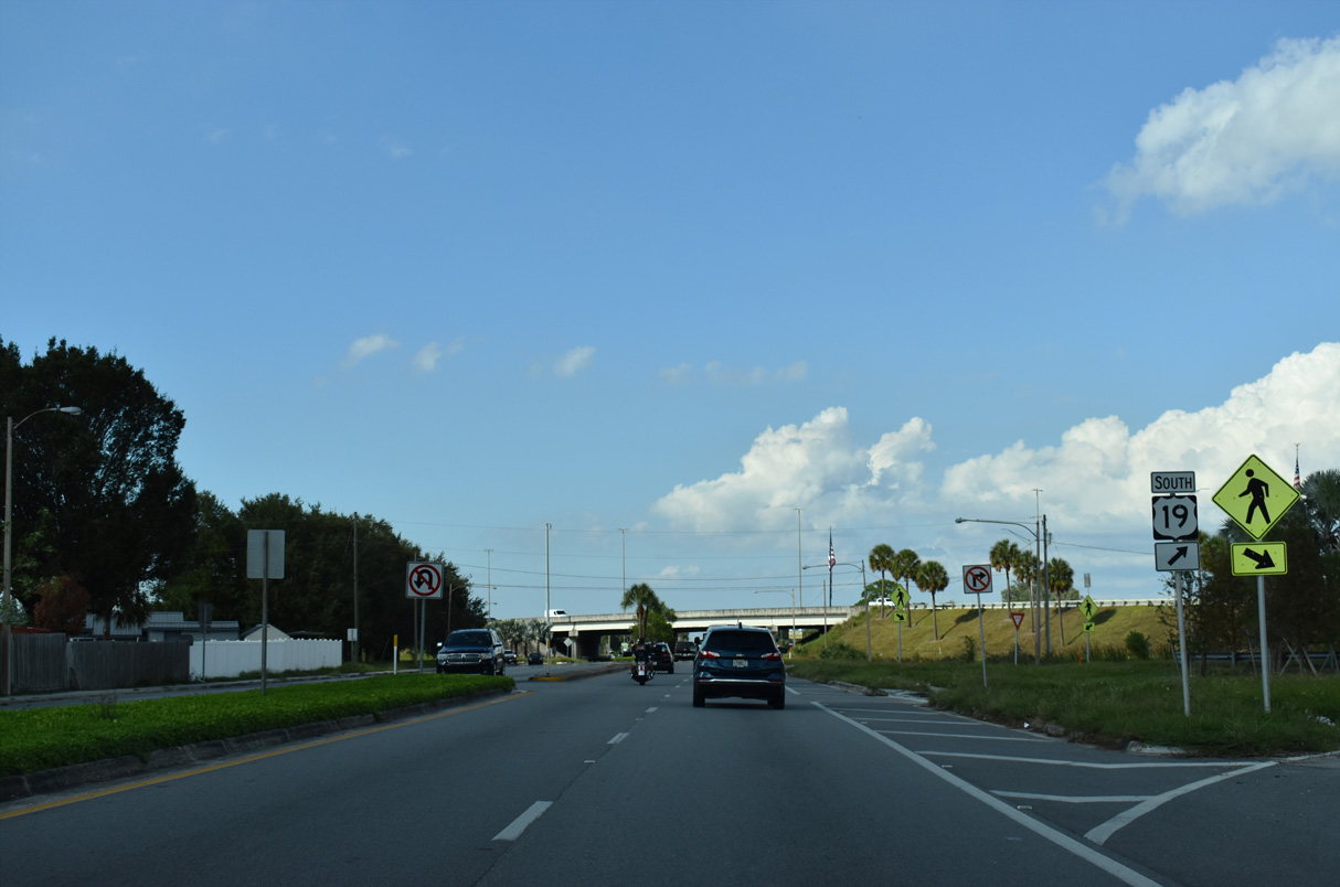
CR 611 (49th Street N) at the southbound ramp to U.S. 19. U.S. 19 transitions into a commercial arterial southeast from CR 611.
10/14/22
U.S. 19 angles northwest from Pinellas Park to east Largo and Clearwater along a limited access freeway.
10/14/22
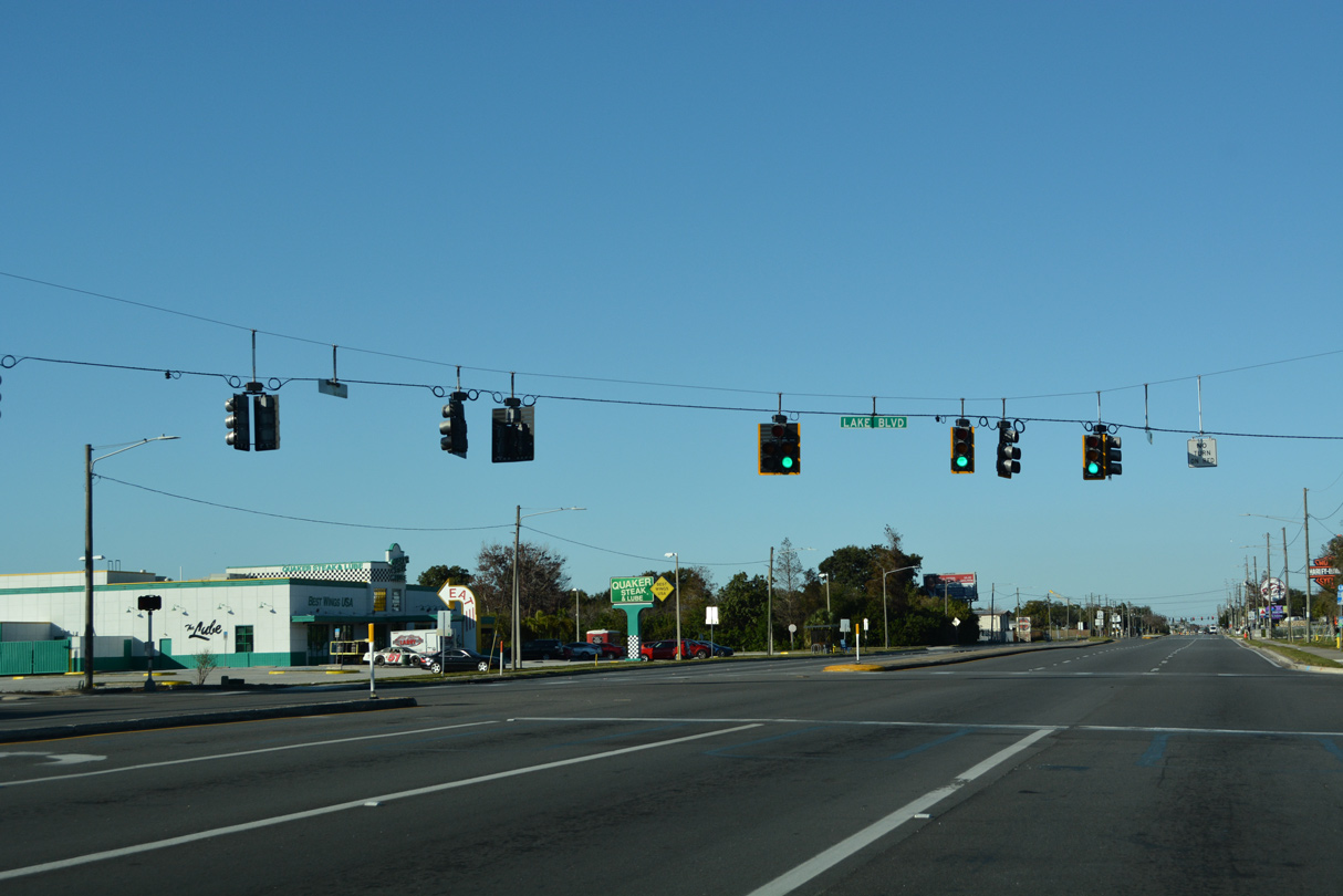
A traffic light operates along 49th Street N at Lake Boulevard just beyond the exchange with U.S. 19. Lake Boulevard serves a bevy of mobile home parks to the east.
12/24/21
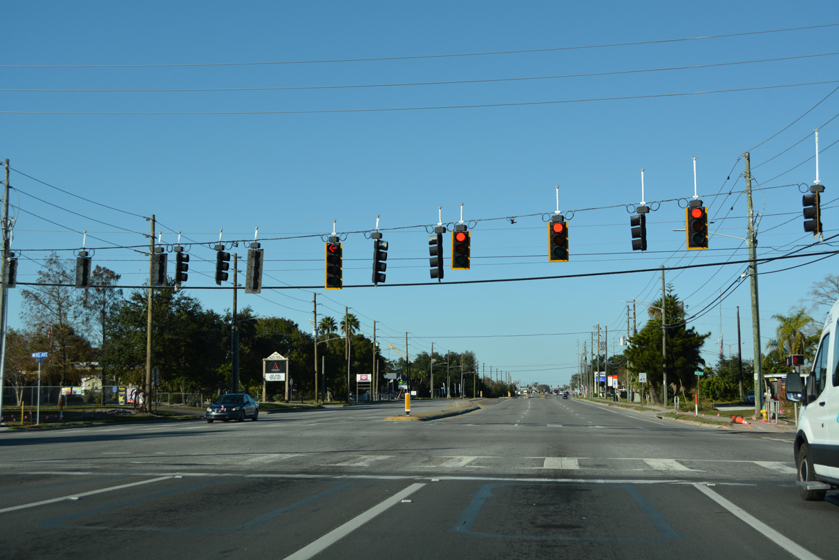
110th Avenue N links CR 611 (49th Street N) with U.S. 19 to the west and 43rd Street N to the east.
12/24/21
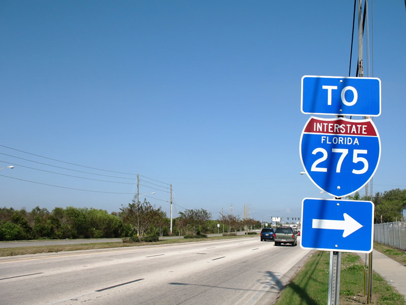
A pair of state named shields previously directed motorists from 49th Street N onto County Road 296 (Bryan Dairy Road) east at Pinellas Park. The assembly along the outside lanes was removed by June 2011 and the shield within the CR 611 median was replaced by June 2015.
12/17/06
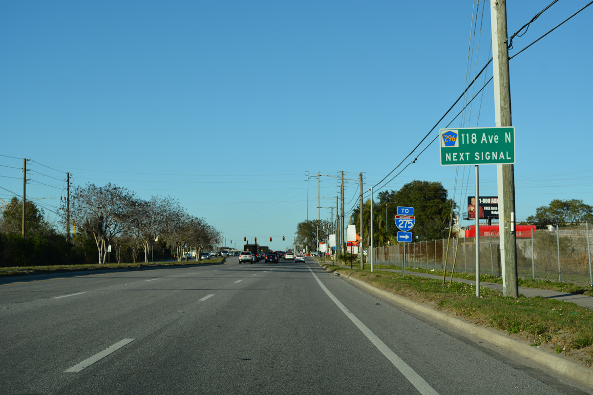
CR 611 (49th Street N) intersects CR 296 (118th Avenue N) in north Pinellas Park.
04/28/24

SR 690 (Gateway Expressway) runs in tandem with CR 296 (118th Avenue N) from U.S. 19 east to 34th Street N. Ramps east of there join 118th Avenue N with SR 690 leading into the systems interchange with Interstate 275.
04/28/24
Construction from August 2017 to April 2024 built the Gateway Expressway (SR 690) elevated toll lanes above CR 296 west to U.S. 19 and east to I-275 at SR 686 (Roosevelt Boulevard).
04/28/24
A confirming marker for CR 611 stands north of CR 296 (Bryan Dairy Road).
04/28/24
126th Avenue N serves a pervasive industrial area buffeting CR 611 (49th Street N) in north Pinellas Park.
10/14/24
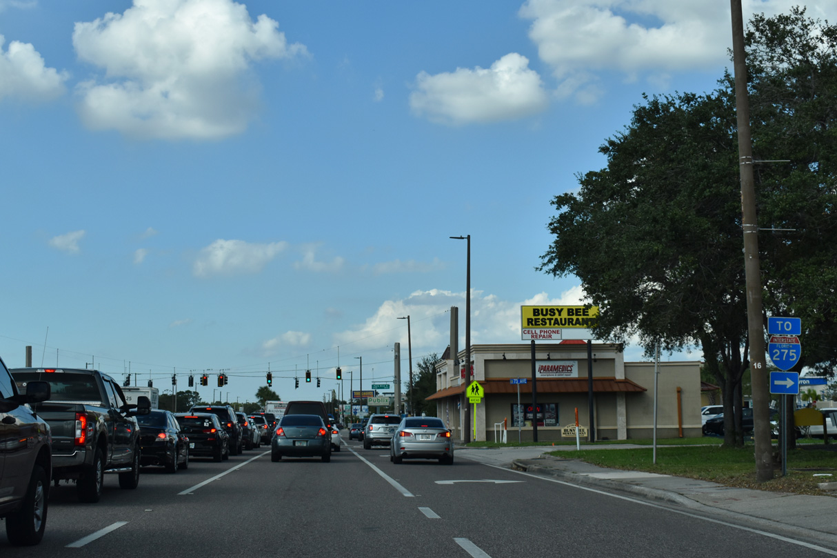
Advancing north, CR 611 next enters the busy intersection with SR 688 (Ulmerton Road). Ulmerton Road carries as many as eight lanes as the main arterial route linking Interstate 275 and the Howard Frankland Bridge with Largo to the west.
10/14/22
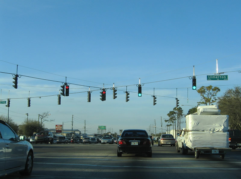
State Road 688 (Ulmerton Road) travels overall from Indian Rocks Beach and Seminole to the west to Pinellas Park and north St. Petersburg to the east.
10/14/22
140th Avenue N connects 49th Street N with industrial parks at South Highpoint west of SR 686 (Roosevelt Boulevard) and St. Pete-Clearwater International Airport (PIE).
10/14/24
State Road 686 trailblazer directing motorists northward to the diamond interchange with Roosevelt Boulevard.
10/14/22
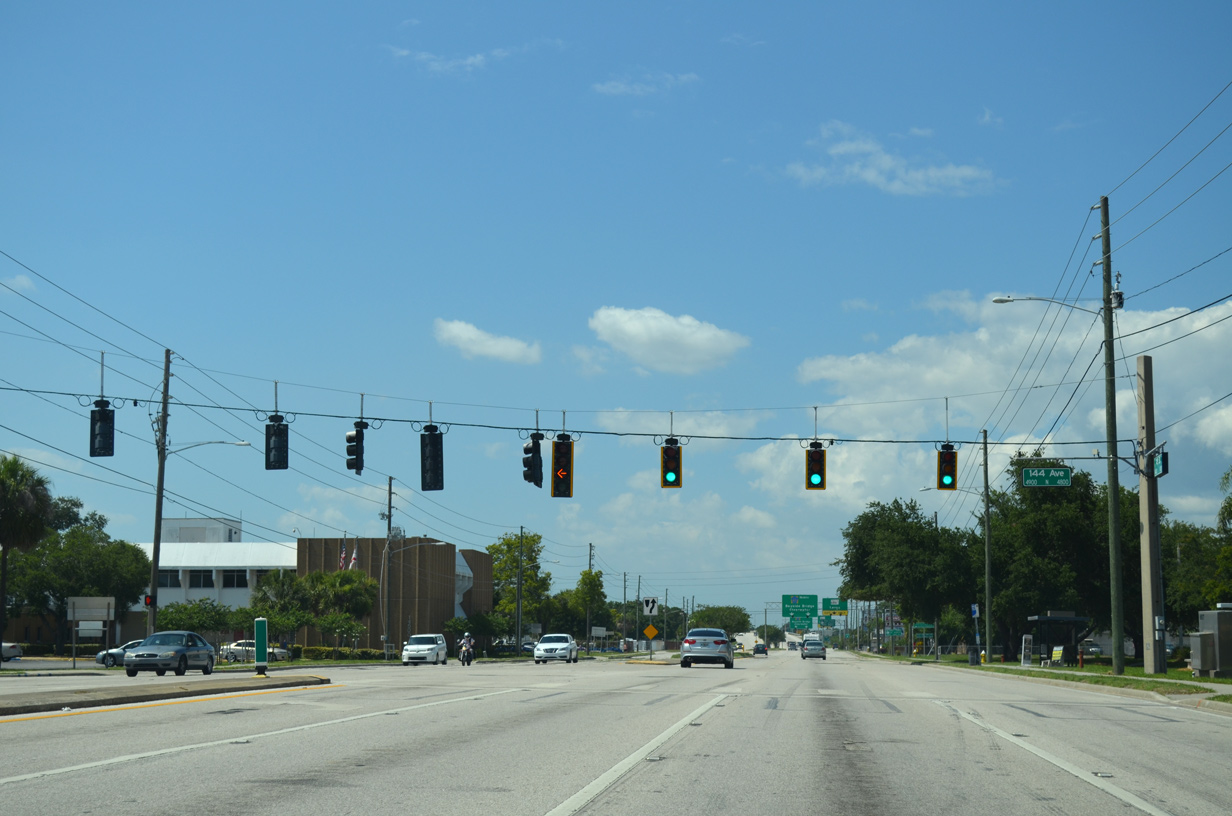
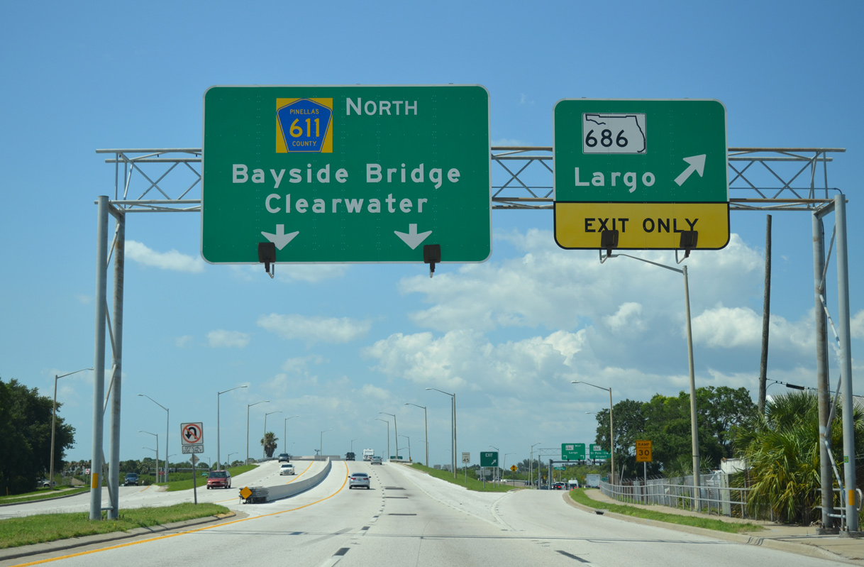
144th Avenue N represents the last traffic light before the limited access section of County Road 611 across the Bayside Bridge.
10/14/22
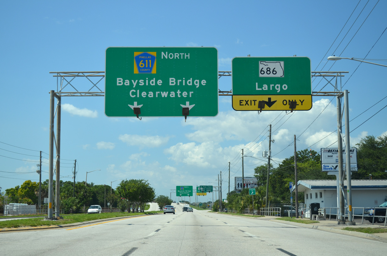
49th Street N transitions onto the Bayside Bridge at the exchange with SR 686 (Roosevelt Boulevard).
10/14/22
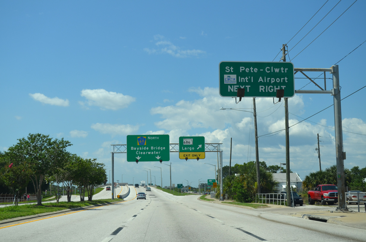
SR 686 (Roosevelt Boulevard) east connects with the passenger terminal of St. Pete-Clearwater International Airport (PIE) just southeast of CR 611. The Gateway Expressway (SR 686A) runs between the roadways of Roosevelt Boulevard south as part of a high speed route to I-275.
10/14/22
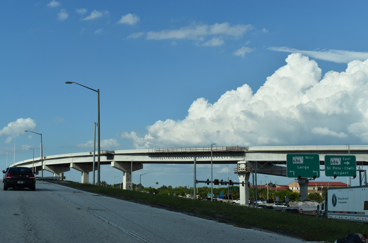
SR 686 travels west from CR 611 to East Bay Drive in Largo. The state road ends at U.S. 19 Alternate (Seminole Boulevard) with West Bay Drive continuing to Belleair Bluffs.
10/14/22
SR 686 (Roosevelt Boulevard) east concludes in the Gateway area of St. Petersburg at U.S. 92/SR 687 (4th Street N) and SR 694 (Gandy Boulevard).
10/14/22
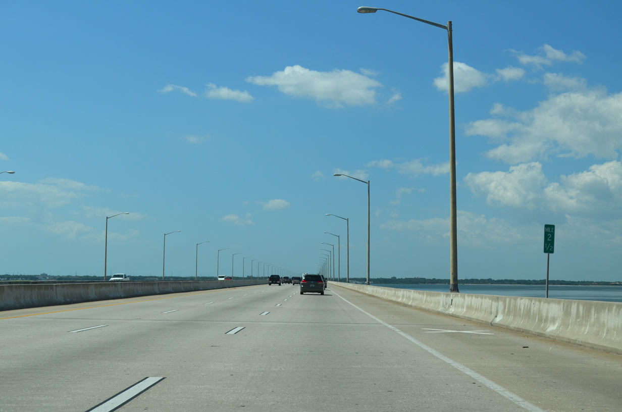
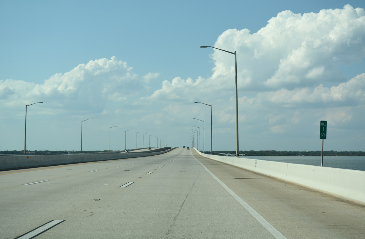
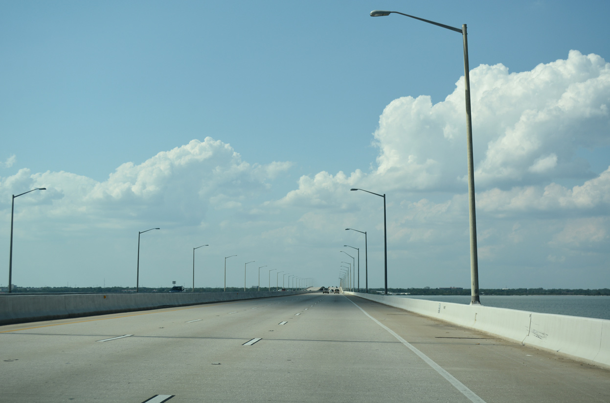
The Bayside Bridge carries six lanes of traffic over western reaches of Old Tampa Bay to Bayview in Clearwater.
05/29/15
The Bayside Bridge was first envisioned as part of a 1972 freeway proposal for Pinellas Parkway, a highway leading northeast from U.S. 19 into Safety Harbor. Voters rejected that proposal in 1976, but the need for a crossing only grew with congestion along U.S. 19. Finally by the late 1980s, the Bayside Bridge proposal was revived as a toll crossing. Construction began on January 1, 1988 with a $110 million price tag.1
04/26/24
Lobbying by local business leaders followed to have the span open as a toll-free crossing. Their efforts were successful and a 1 cent gas tax was approved to pay for the project instead. The Bayside Bridge opened on June 2, 1993.1
10/14/22
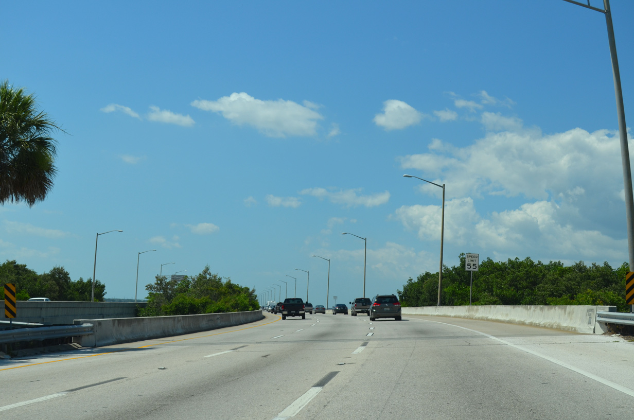
Peak hour congestion is routine along northern reaches of the Bayside Bridge due to the bottleneck at the exchange with SR 60 (Gulf to Bay Boulevard). The six lane freeway reduces to four lanes over Gulf to Bay Boulevard.
04/26/24
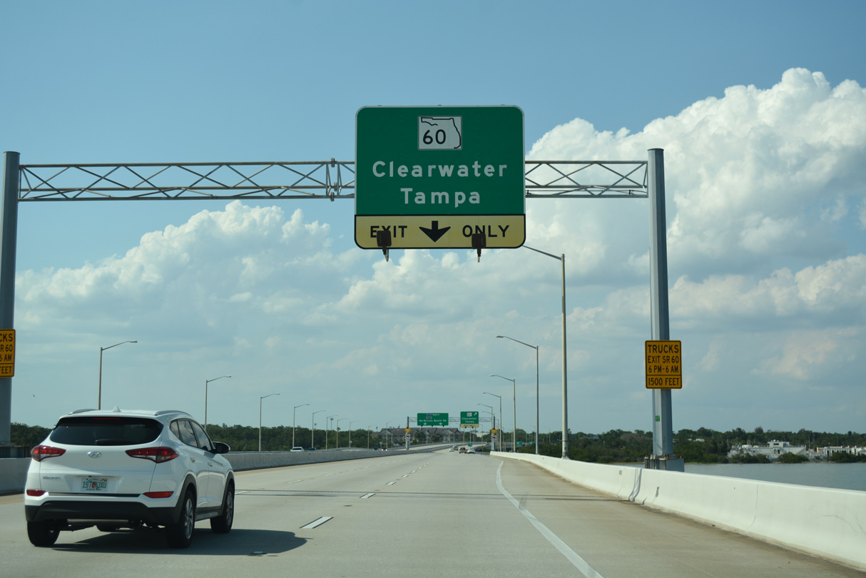
Equally well traveled, SR 60 (Gulf to Bay Boulevard) extends west to Downtown Clearwater and Clearwater Beach from Courtney Campbell Causeway, the third crossing of Tampa Bay / Old Tampa Bay between Pinellas and Hillsborough Counties.
04/26/24
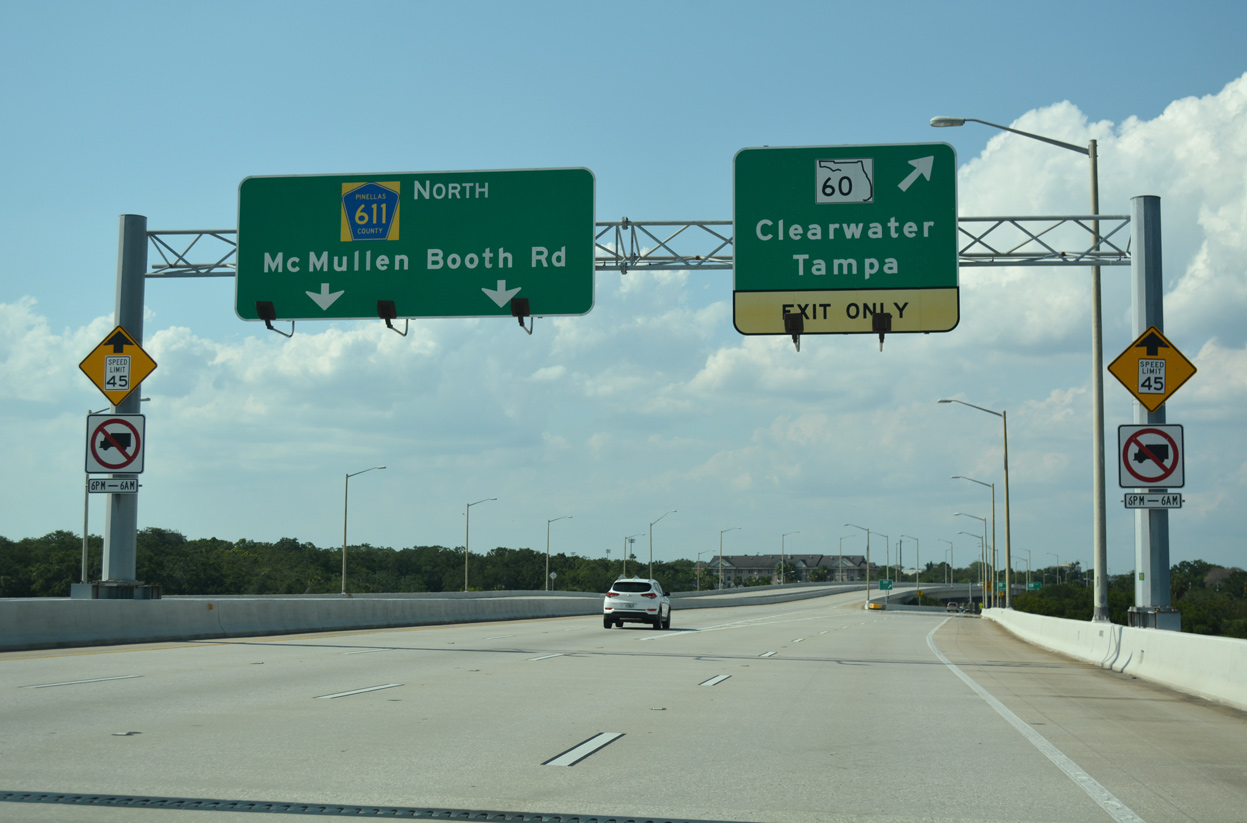
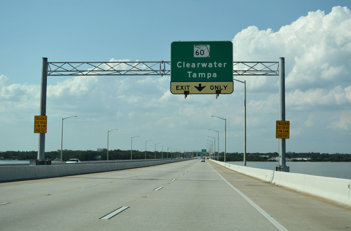
The ramp for SR 60 (Gulf to Bay Boulevard) lowers from the Bayside Bridge over the north shore of Old Tampa Bay. SR 60 travels west along a busy arterial into the Skycrest neighborhood of east Clearwater. Gulf to Bay Boulevard leads the state road to Chestnut Street within the central business district.
04/26/24
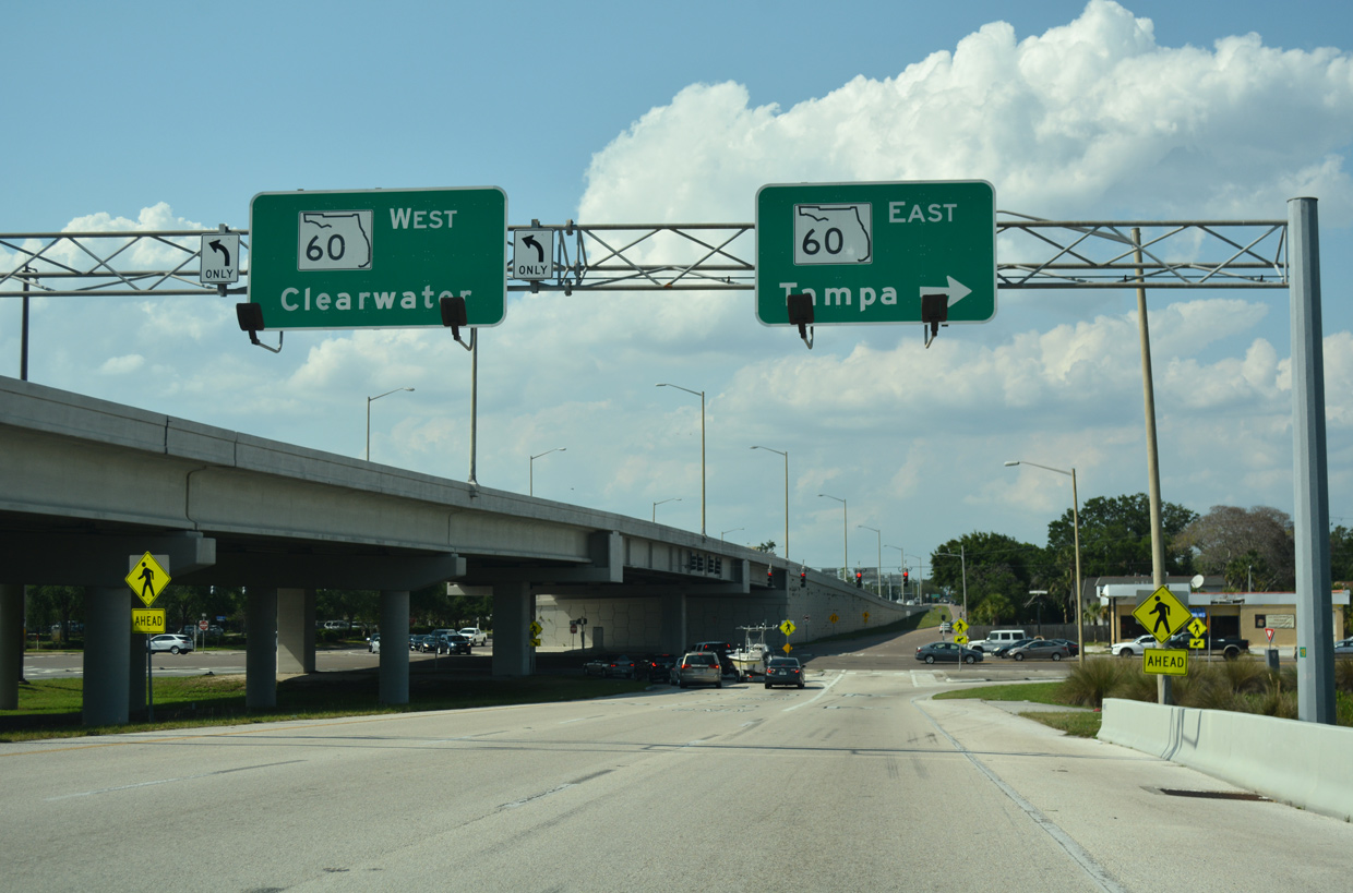
The single point urban interchange (SPUI) with SR 60 lies 1.25 miles east of U.S. 19 and just west of the eight mile long Courtney Campbell Causeway across Old Tampa Bay.
04/26/24
The entrance ramp from SR 60 (Gulf to Bay Boulevard) adds a third northbound lane to CR 611 (McMullen-Booth Road) north. The six lane arterial proceeds north to intersect Drew Street.
11/15/16
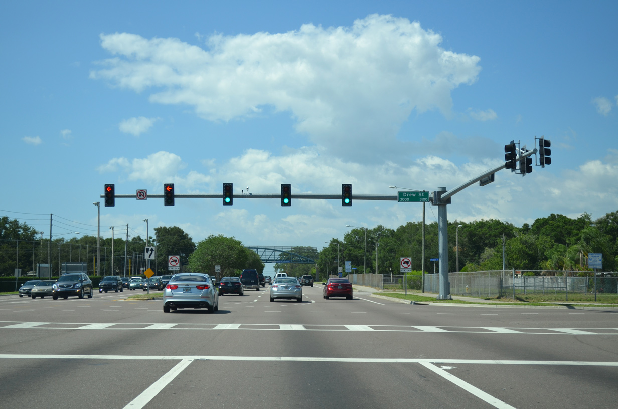
Drew Street leads east to Bayshore Boulevard and west as County Road 528 beyond U.S. 19 to the Skycrest community in Clearwater
05/29/15
County Road 611 shield posted beyond Drew Street and across from the Eddie C. Moore Recreation Complex.
05/29/15
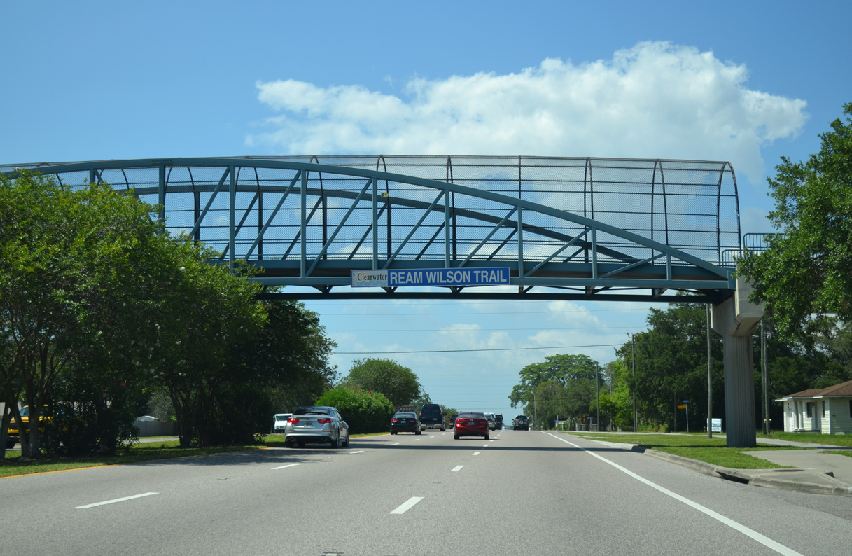
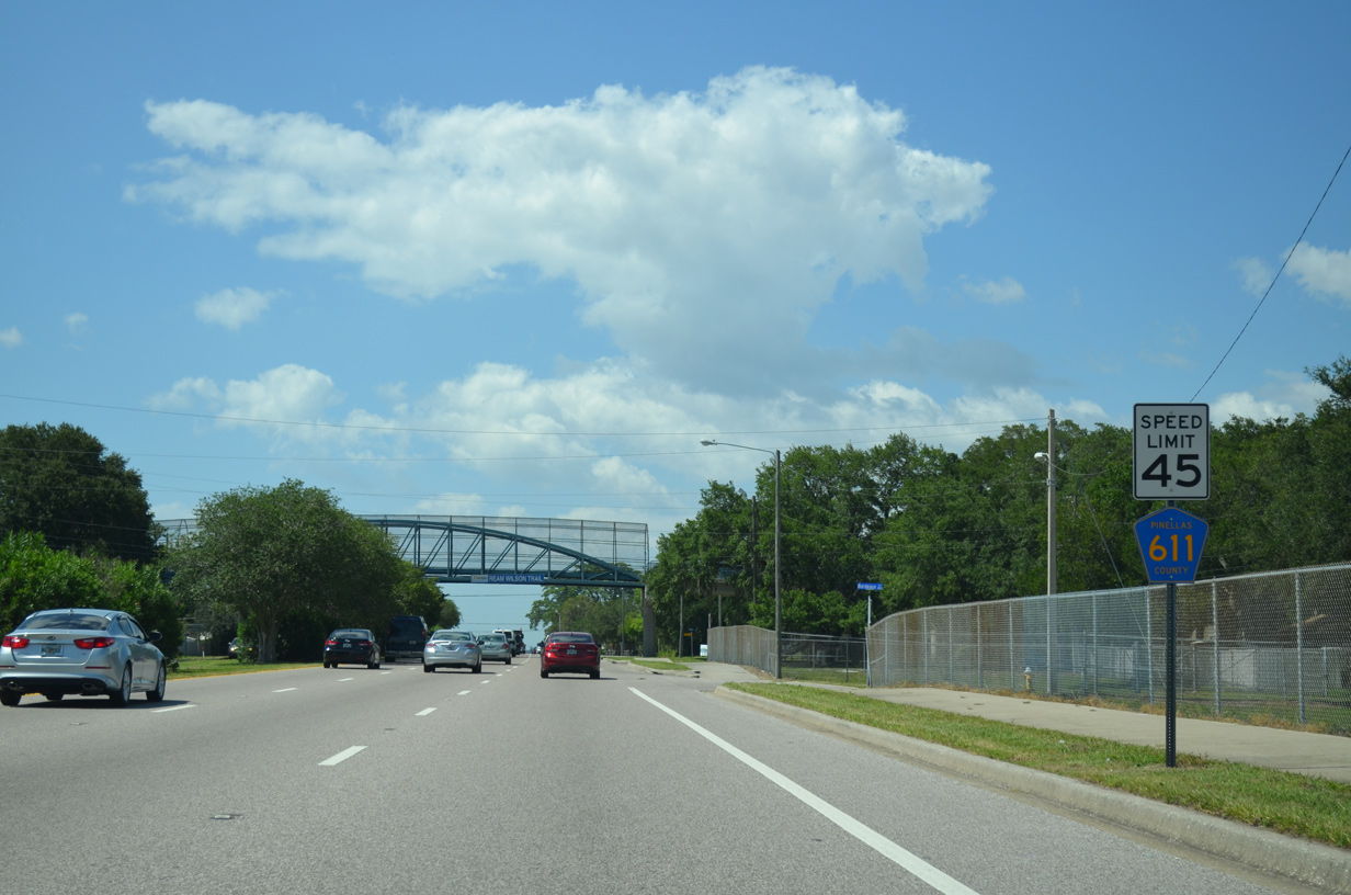
A pedestrian bridge carries Ream Wilson Clearwater Trail over McMullen Booth Road west of Del Oro Park.
05/29/15
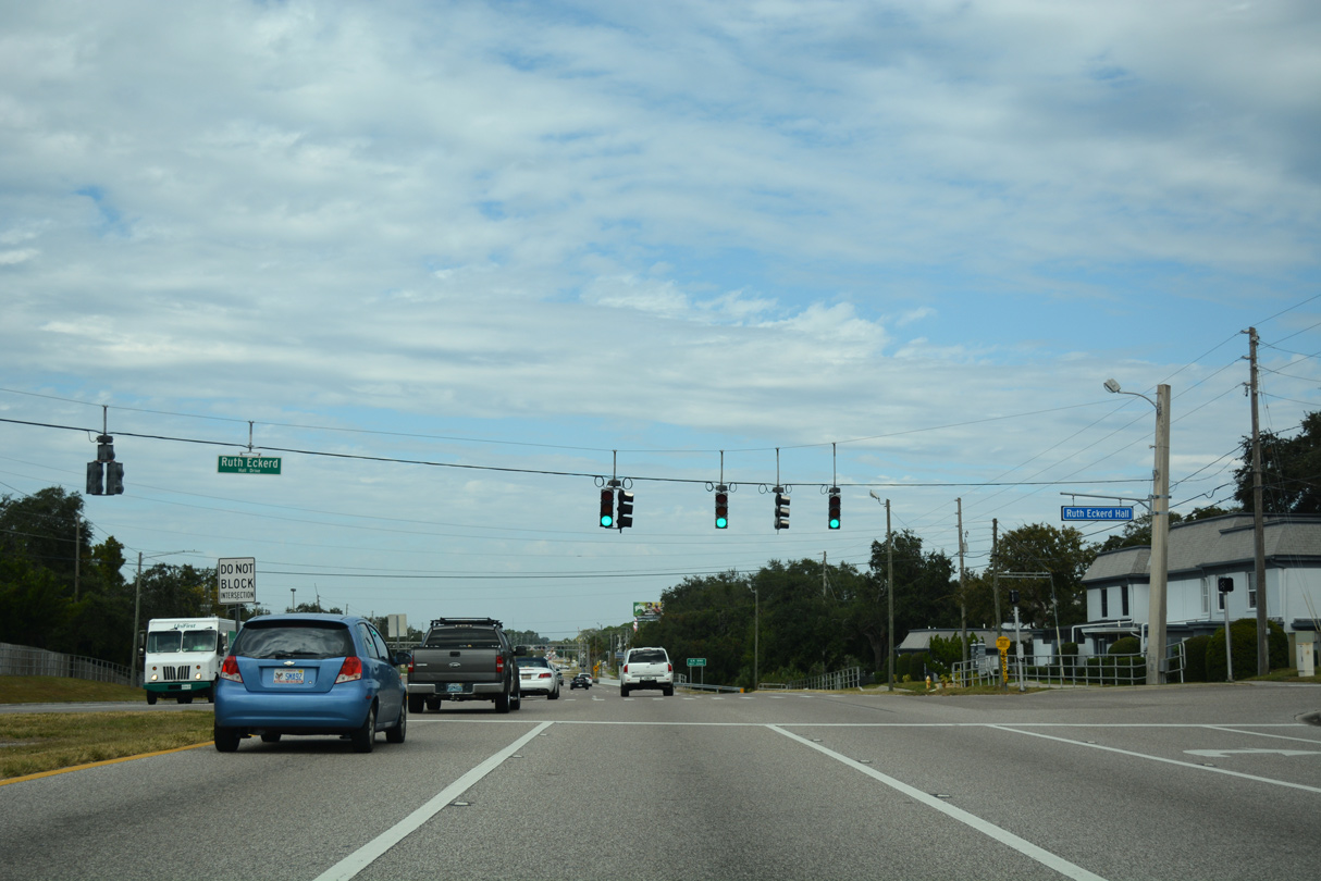
CR 611 (McMullen-Booth Road) northbound at the entrance to Ruth Eckerd Hall, a performing arts theater.
11/15/16
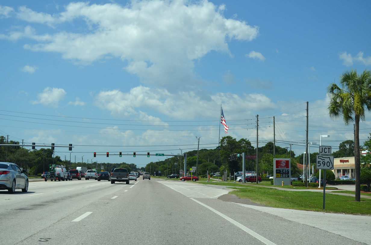
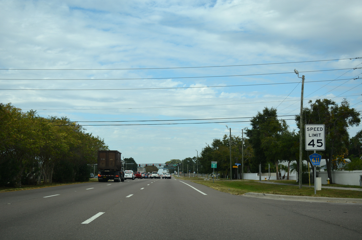
SR 590 (10th Street) intersects CR 611 (McMullen Booth Road) along the Clearwater and Safety Harbor city line. SR 590 travels west to Coachman and east to 14th Avenue S.
05/29/15

SR 590 is partitioned into two sections. The western segment begins at U.S. 19 Alternate (Myrtle Avenue) in Clearwater via Drew Street and ends at 10th Avenue S, south of Delaware Street outside Downtown Safety Harbor. The second segment of SR 590 follows Phillippe Parkway north from near Enterprise Road to SR 580 in north Safety Harbor.
05/29/15
County Road 611 reassurance marker posted north of SR 590 (10th Street) along McMullen Booth Road.
05/29/15

County Road 576 follows Main Street east to 10th Avenue S (former SR 590) ahead of Downtown Safety Harbor. Sunset Point Road leads CR 576 west to U.S. 19 Alternate (Edgewater Drive) in Clearwater.
05/29/15

McMullen-Booth Road continues north along the Safety Harbor city line from Sunset Point Road (CR 576).
05/29/15
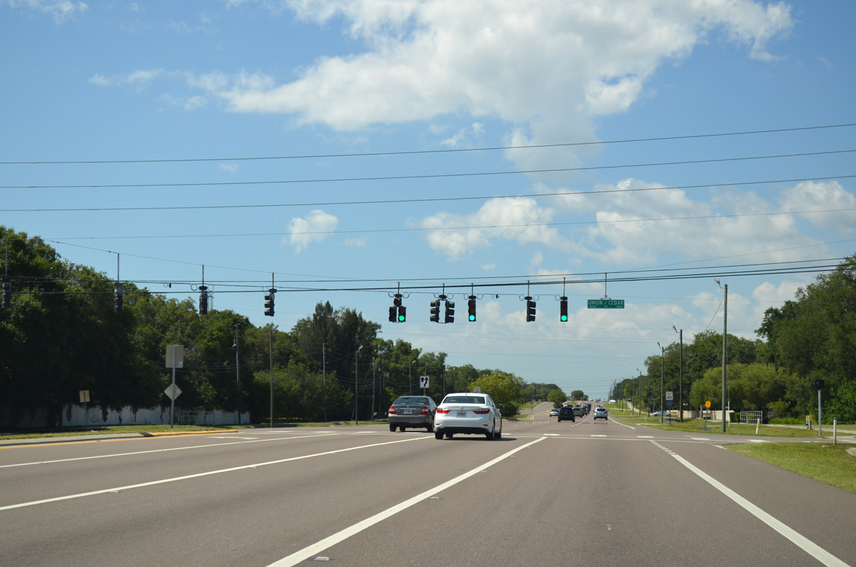
The succeeding traffic light along County Road 611 northbound is with Union Street west into Clearwater and Cedar Street east into Safety Harbor.
05/29/15
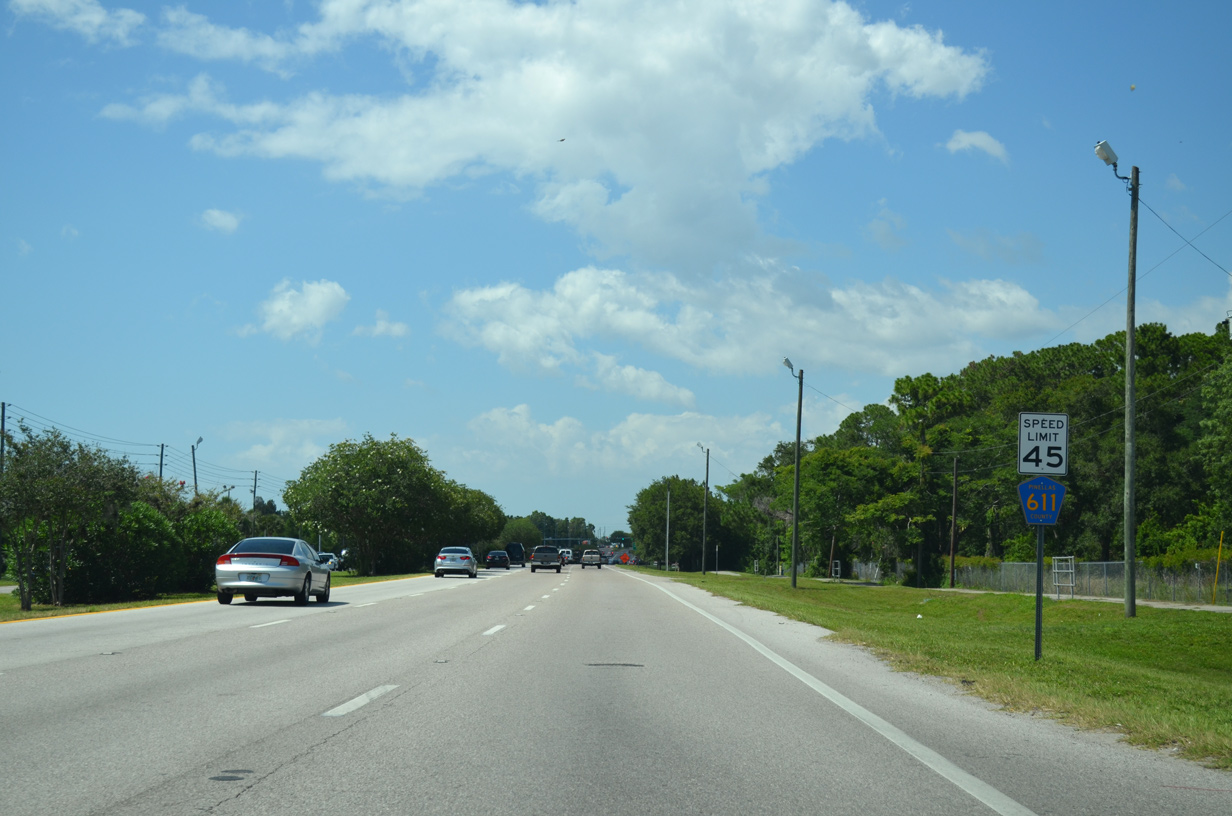
McMullen Booth Road north at the commercialized intersection with Enterprise Road (CR 638). The four lane boulevard weaves west to SR 580 (Main Street) at Countryside and extends east to Phillippe Parkway (SR 590) in Safety Harbor.
05/29/15
CR 611 confirming marker posted north of Enterprise Road.
05/29/15
Eastland Boulevard ties into CR 611 on the north side of Northwood Plaza Shopping Center from the Northwood Estates neighborhood.
05/29/15
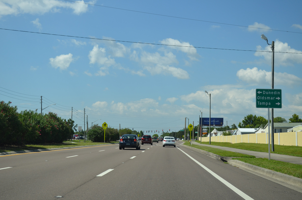
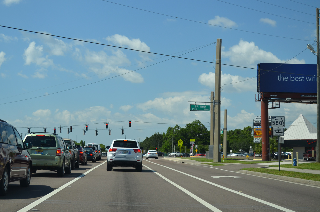
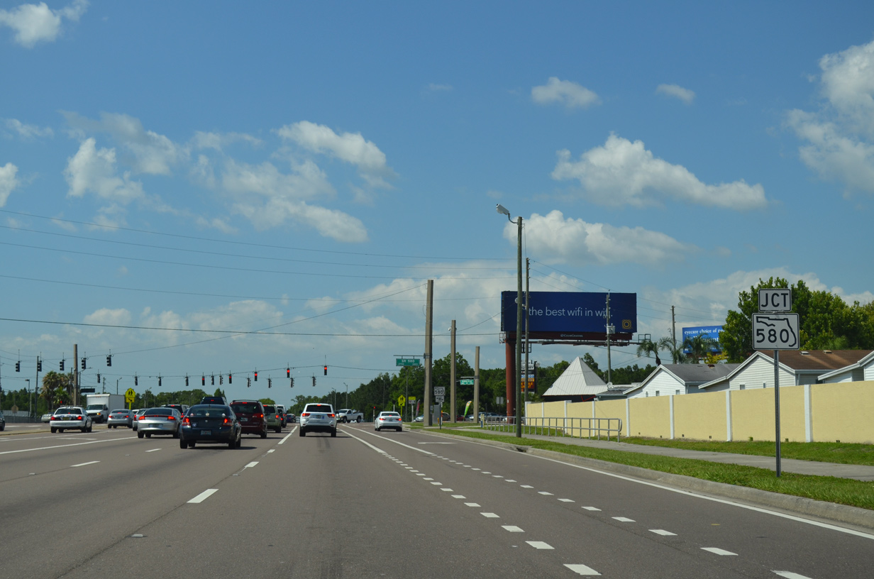
Advancing north, CR 611 (McMullen-Booth Road) crosses paths with State Road 580. SR 580 comprises a major arterial route west to Dunedin and east from Oldsmar to Tampa.
05/29/15
Leading west into the city of Dunedin, SR 580 follows Main Street to U.S. 19 Alternate (Broadway) just off Clearwater Harbor. Crossing Safety Harbor, SR 580 converges with SR 584 (Tampa Road) just ahead of the Hillsborough County line south of Westchase.
05/29/15
Confirming marker posted north of SR 580 on McMullen-Booth Road. The six lane arterial runs alongside Chi Chi Rodriguez Golf Club along the ensuing stretch.
05/29/15
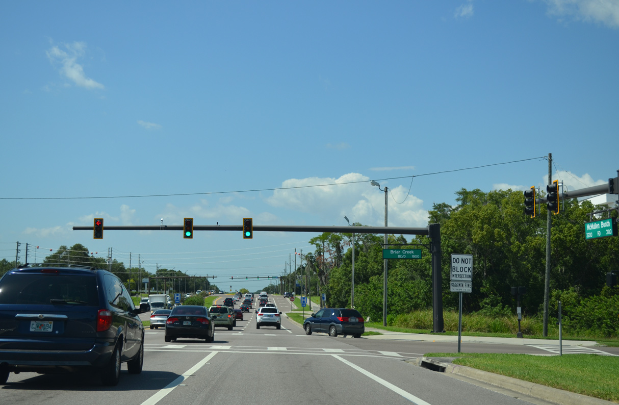
Briar Creek Boulevard is the main entrance to the Briar Creek manufactured home community to the east of CR 611 (McMullen-Booth Road).
05/29/15
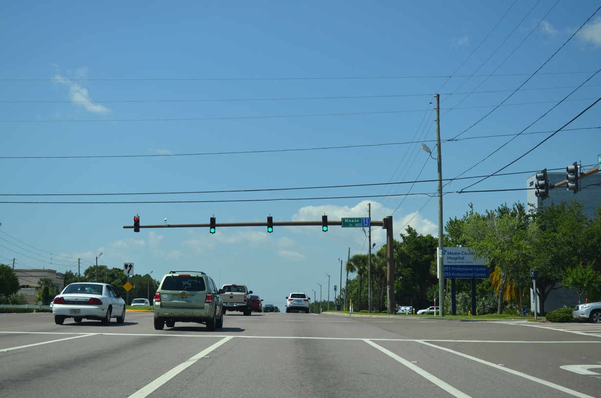
The succeeding traffic light on McMullen-Booth Road northbound is with Mease Drive east to Mease Countryside Hospital and the Briarwood subdivision.
05/29/15
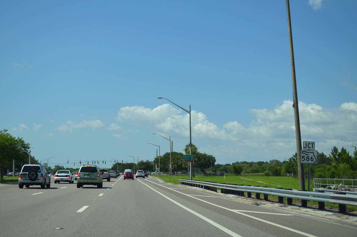
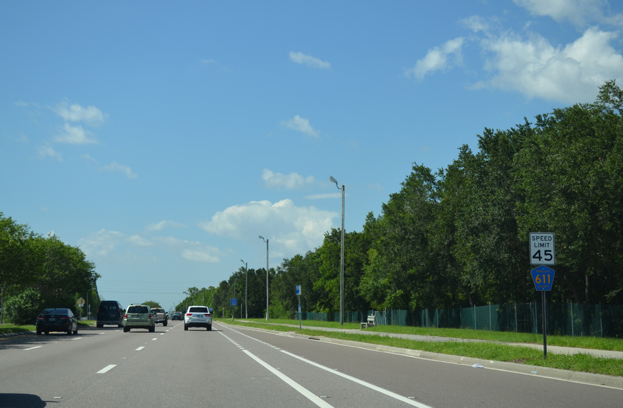
McMullen-Booth Road extends between northern reaches of the Clearwater and Safety Harbor city limits to State Road 586 (Curlew Road).
05/29/15
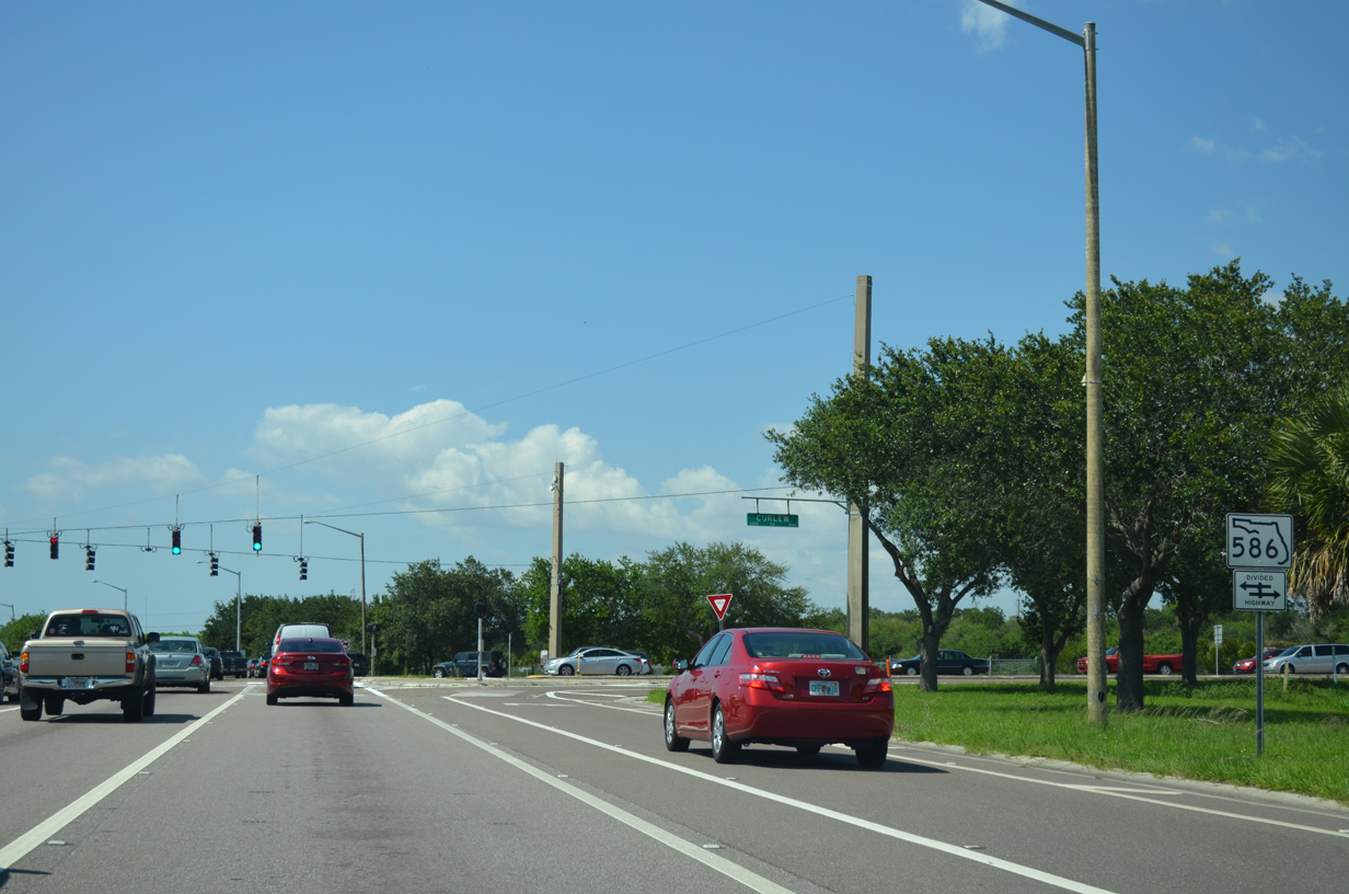
SR 586 travels 5.33 miles west from SR 584 (Tampa Road) in north Oldsmar to U.S. 19 Alternate (Bayshore Boulevard) in north Dunedin. CR 586 continues 2.65 miles west from Bayshore Boulevard onto Honeymoon Island.
05/29/15
County Road 611 parallels the Lake Tarpon Outfall Canal northward from Curlew Road to CR 752 (Tampa Road).
05/29/15

A grade separated interchange joins McMullen-Booth Road north / East Lake Road south with County Road 752 (Tampa Road) in unincorporated Palm Harbor. The northbound off-ramp utilizes the 1967-built bridge across Lake Tarpon Canal to connect CR 611 with CR 752.
05/29/15

CR 752 (Tampa Road) branches northwest from SR 584 / 586 (Curlew Road) in Oldsmar along Canal Park to meet CR 611 by the Shoppes at Boot Ranch retail plaza. The county road measures 5.47 miles along the drive west to Orange Street (CR 377) at Ozona.
05/29/15

Construction of the bridges connecting McMullen-Booth Road with East Lake Road along CR 611 and the interchange with CR 752 (Tampa Road) were coupled with the overall widening of CR 611 between SR 60 and Keystone Road.3
05/29/15
The flyover spanning Lake Tarpon Canal and Tampa Road (CR 752) was dedicated at a ribbon cutting ceremony held November 5, 1991. Drainage work during the $24 million project at the exchange was completed in June 1992.3
05/29/15
East Lake Road originates from an interchange with Tampa Road (CR 752) just east of the Lake Tarpon Outfall Canal. The arterial runs between a pair of shopping centers and a business park northward to become a part of CR 611 through the unincorporated East Lake community.
05/29/15
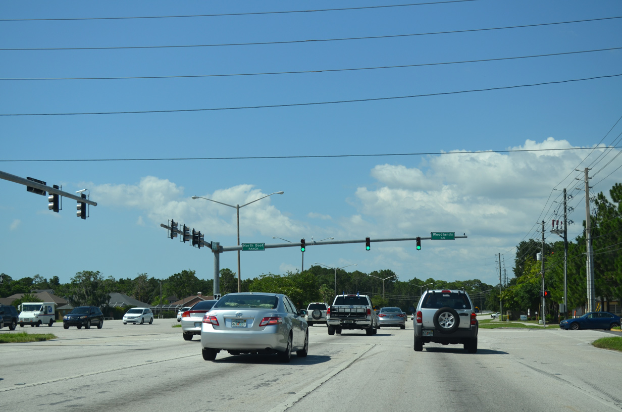
CR 611 (East Lake Road) trends eastward by southern reaches of Lake Tarpon, intersecting Woodlands Boulevard east to the Cross Pointe and East Lake Woodlands developments.
05/29/15
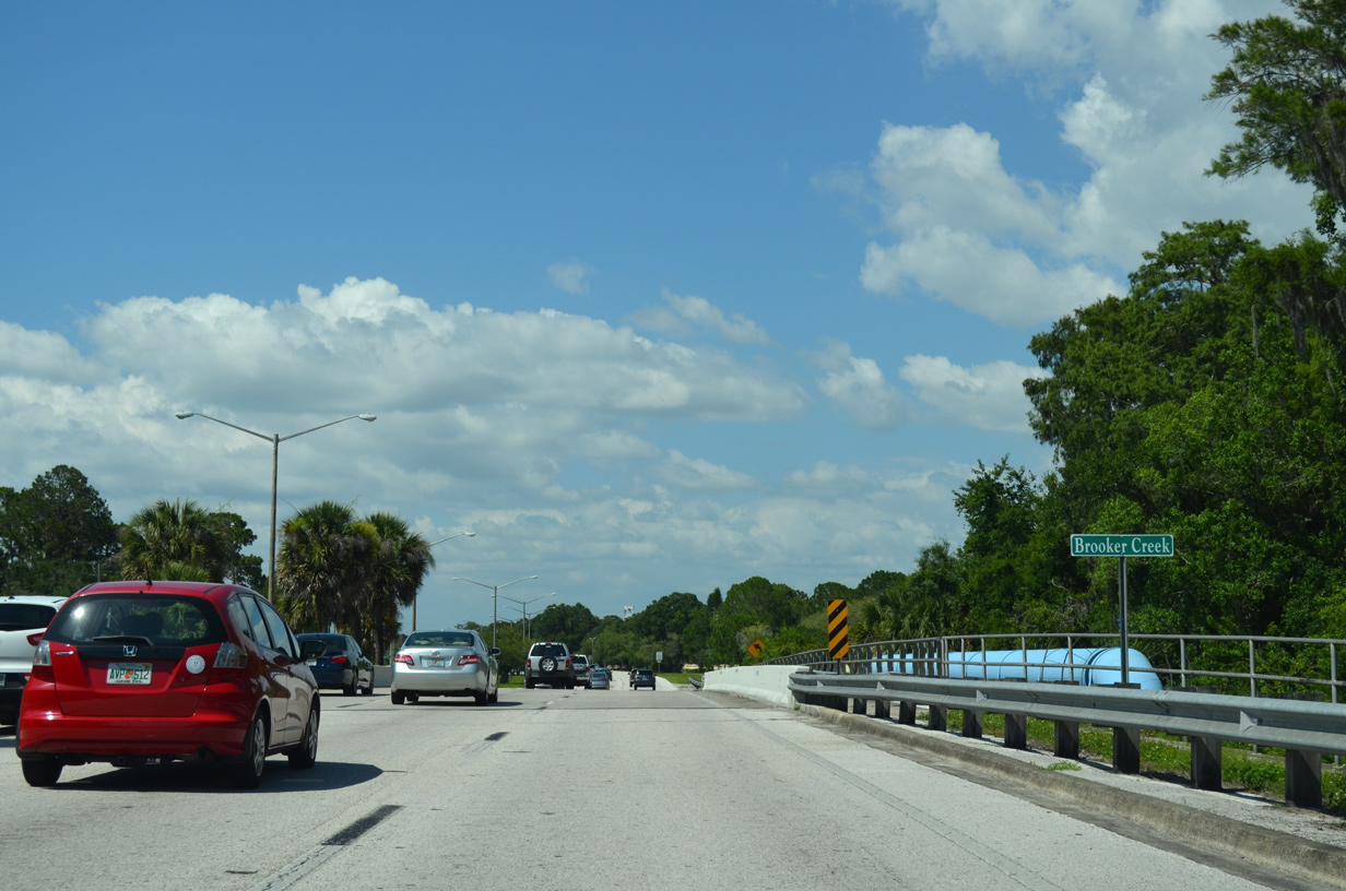
East Lake Road crosses Brooker Creek alongside John Chestnut, Sr. County Park.
05/29/15
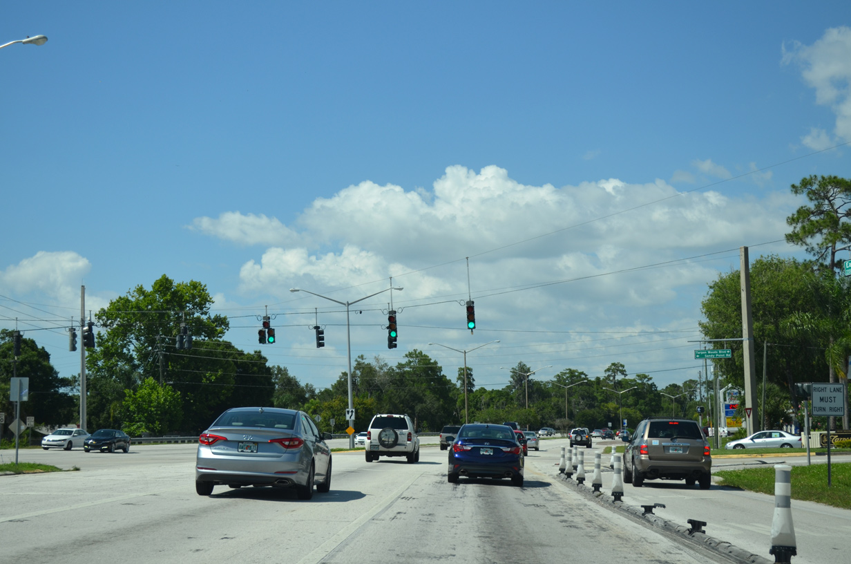
The ensuing traffic light along East Lake Road north is with Sandy Point Road west to the Anchorage subdivision and Tarpon Woods Boulevard east to the Tarpon Woods golf course community.
05/29/15
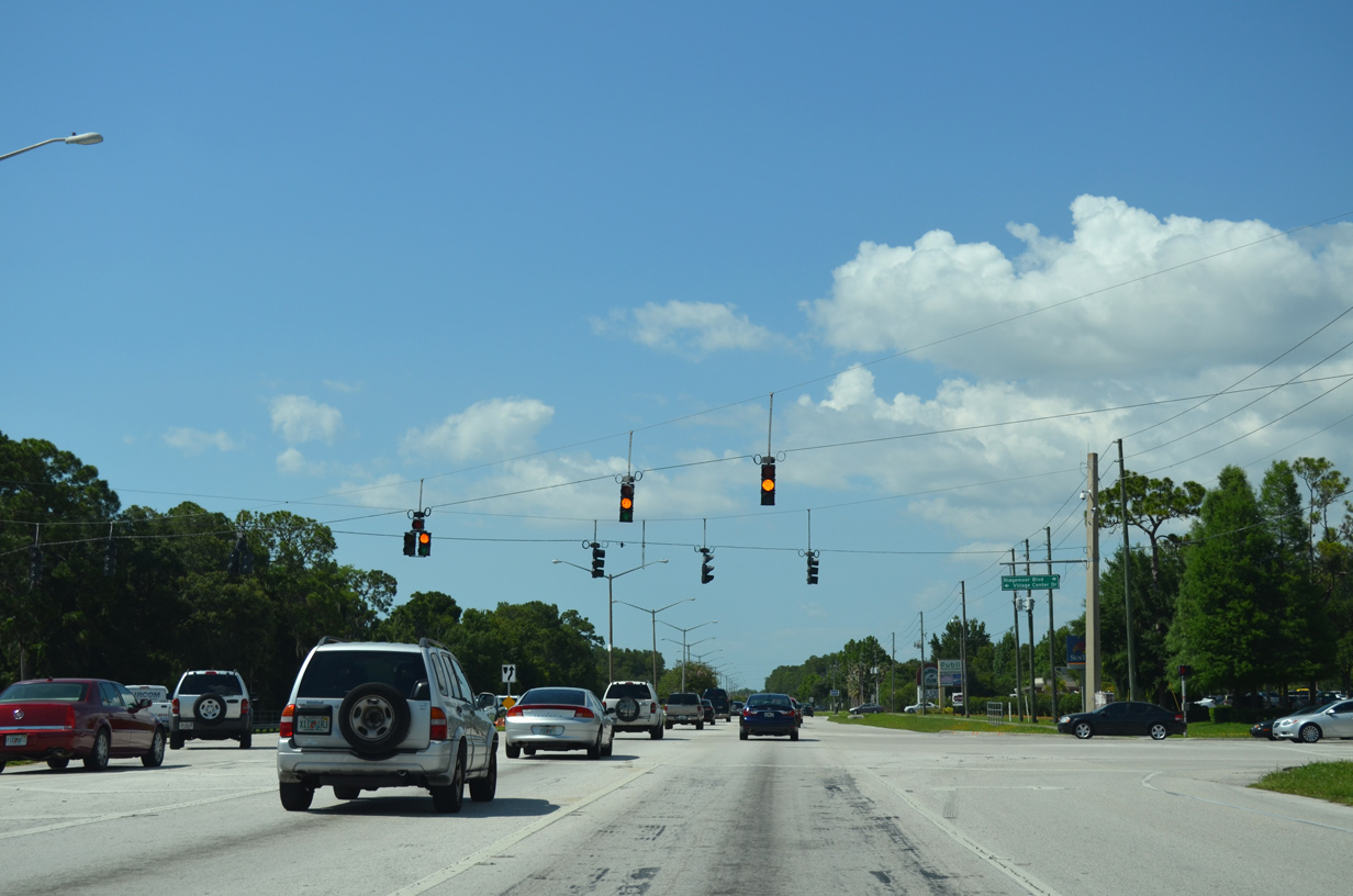
CR 611 (East Lake Road) north at Ridgemoor Boulevard east and Village Center Drive west.
05/29/15
Continuing north to the Lansbrook development at East Lake, CR 611 intersects Lansbrook Parkway west and Cypress Woods Boulevard east. Lansbrook's development agreement with Pinellas County in 1990 included building a 1.5 mile segment of four lane roadway for East Lake Road north from Brooker Creek.4
05/29/15
Ridgeline Boulevard links CR 611 (East Lake Boulevard) with Silver Eagle Drive at East Lake High School. Pine Ridge Boulevard connects from the Pine Ridge subdivision to the east.
05/29/15
Forelock Road arcs southeast from CR 611 (East Lake Road) at Kensington Trace to the Woodfield development and Ranch Road.
05/29/15

CR 611 north next approaches County Road 582 (Keystone Road), a 5.84 mile route leading west to U.S. 19 at Tarpon Springs and east to the Hillsborough County line by Brook Creek Preserve.
05/29/15

Tarpon Avenue west from U.S. 19 to U.S. 19 Alternate (Pinellas Avenue) in Downtown Tarpon Springs was formerly State Road 582. Keystone Road east across the Hillsborough County line becomes Tarpon Springs Road en route to Keystone Lake and Lake Fern.
05/29/15

County Road 582 previously followed Tarpon Springs Road east to CR 587 (Gunn Highway) and Lutz Lake Fern Road from there to SR 589 (Suncoast Parkway) and SR 597 (Dale Mabry Highway) in Lutz.
05/29/15
References:
- Pinellas Bridges and Causeways. former BayCiti.net web site (Justin Cozart).
- Pinellas County Metropolitan Planning Organization Minutes - Meeting of November 14, 2007.
http://www.pinellascounty.org/ MPO/mpo_minutes/111407.pdf - "Overpass on road to completion." St. Petersburg Times (FL), October 31, 1991.
- "Major Pinellas road projects under way." St. Petersburg Times (FL), June 27, 1990.
Photo Credits:
- ABRoads: 04/03/20, 12/24/21, 10/14/22, 10/14/24
- Alex Nitzman: 12/17/06, 05/29/15, 11/15/16, 04/26/24
- Brent Ivy: 04/28/24
Connect with:
Page Updated Saturday February 14, 2026.