
County Road X14


Iowa 405 (now CR X14) connected Lone Tree with Iowa 22 until 1980. 1964 Iowa Official Highway Map
County Road X14 extends north from the west end of County Road G28 in northern Louisa County to the city of Lone Tree and U.S. 6 in Johnson County. A short section of the route from Lone Tree to Iowa 22 was Iowa 405.
 North
North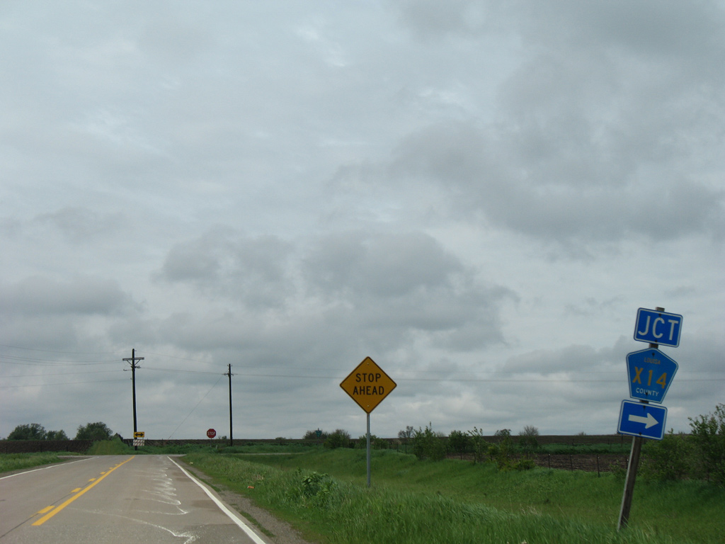
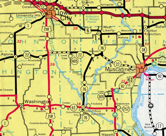
A pentagon posted along County Road G28 west directs motorists onto County Road X14 north at V Avenue in rural Oakland township.
05/23/08
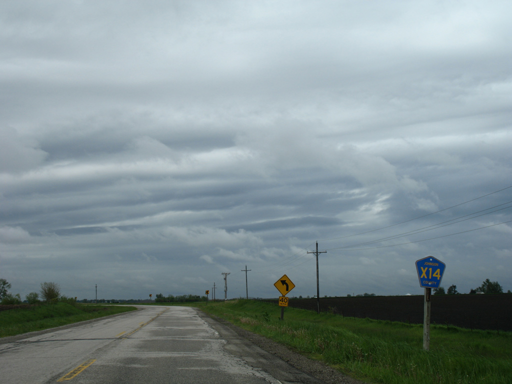
The first reassurance marker for CR X14 appears just north of CR G28.
05/23/08
An S-curve takes County Road X14 north from 245th Street to the Johnson County line.
05/23/08
County Road X14 enters Johnson County and quickly turns west along Wapsi Avenue for 0.8 miles.
05/23/08
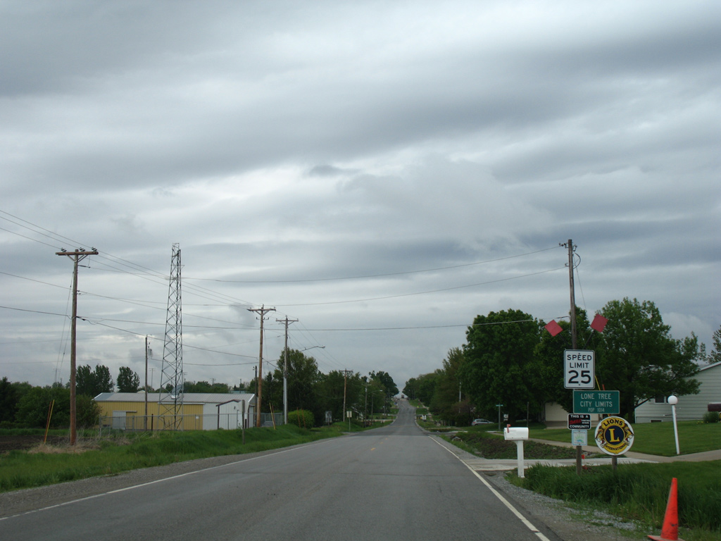
Resuming a northern heading along a section line, County Road X14 (Wapsi Avenue) reaches the Lone Tree limits.
05/23/08
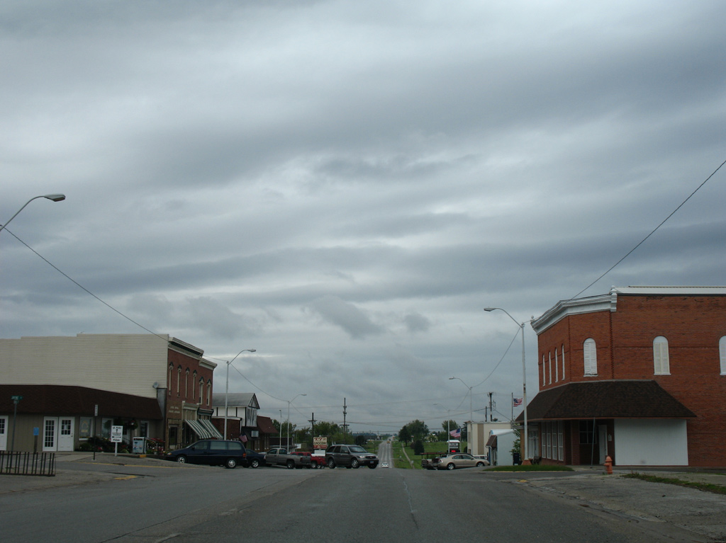
Devoe Street carries CR X14 through the city of Lone Tree. CR X14 through Lone Treet was formerly a part of Iowa 405 until 1980.
05/23/08

A reassurance marker for CR X14 appears as Devoe Street transitions back into Wapsi Avenue beyond the city line. This section of CR X14 was Iowa 405 until July 1, 2003.
05/23/08
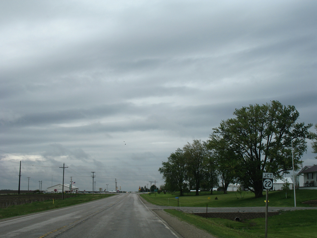
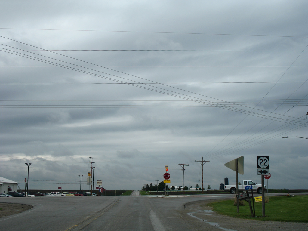
Approaching Iowa 22 along Johnson County X14 (Wapsi Avenue) north.
05/23/08
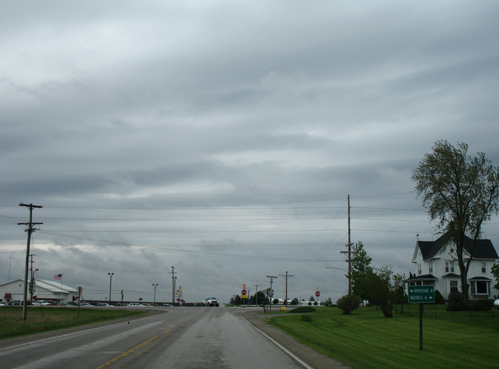
Iowa 22 ventures six miles east to Nichols, where it merges with Iowa 70 north. West from Wapsi Avenue, the state highway advances eight miles west to the Riverside city center.
05/23/08
Iowa 22 joins Muscatine with Riverside, Wellman and Webster as part of a 98 mile route from the Quad Cities to northwest Keokuk County.
05/23/08
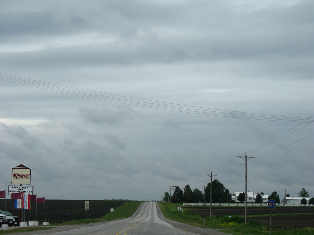
County Road X14 extends another four miles north along Wapsi Avenue to join CR F62 west for one mile at 520th Street.
05/23/08
Photo Credits:
- AARoads: 05/23/08
- Alex Nitzman: 05/23/08
Connect with:


Page Updated Monday August 10, 2015.