
Brown County V

County V east of I-43 used to run along Finger Road, but the City of Green Bay joined with Brown County to build a new four lane road to better serve the I-43 business center. CTH-V is also the recommended exit from I-43 west to Downtown Green Bay. The route traverses the old Town of Preble, that Green Bay annexed in the early 1960s.
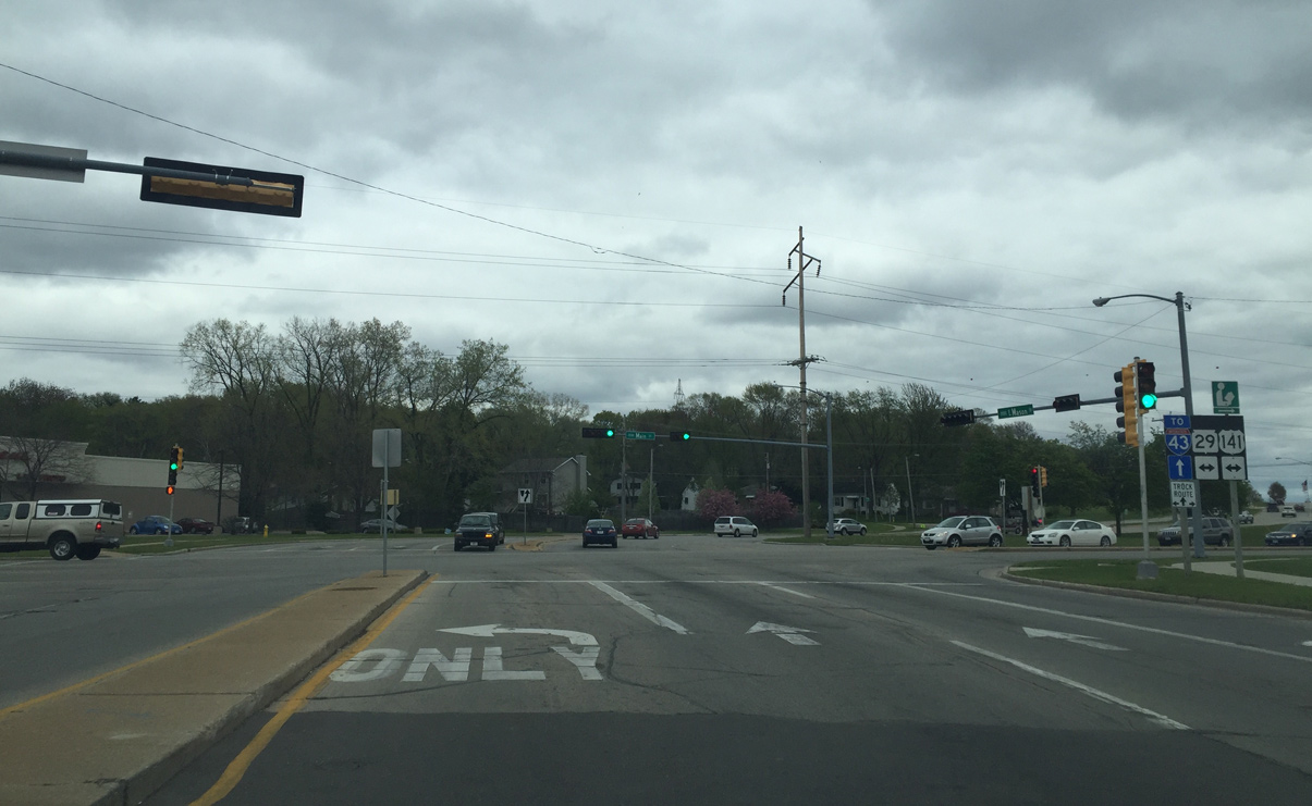
East Mason Street continues a short distance as County V to the intersection with U.S. 141/Wis 29 (Main Street). County V is the recommended route to I-43 from Downtown Green Bay.
05/14/16
County V becomes a controlled access divided roadway with access only at intersections past Main Street. Pictured here is the East Town Way entrance to East Town Mall.
05/14/16
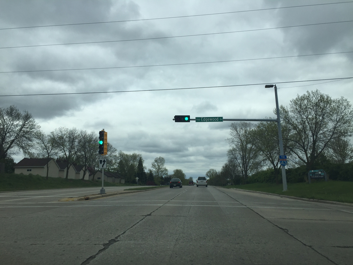
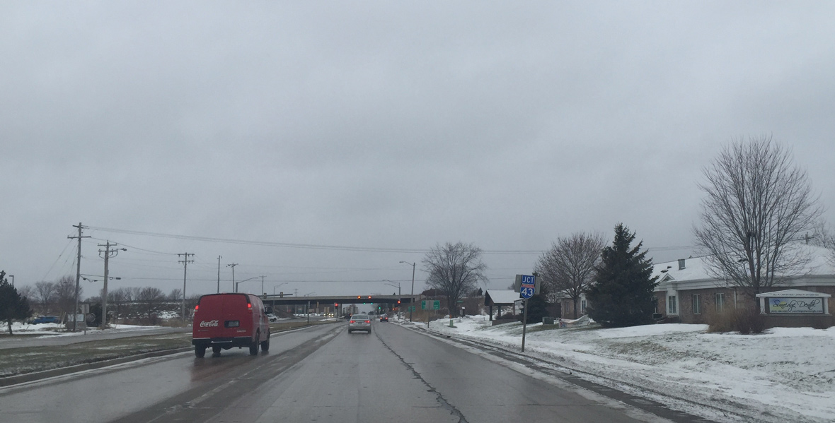
An Interstate 43 trailblazer is posted at Edgewood Drive. Edgewood Drive provides access to the Preble Park neighborhood to the north and Wilder Park community to the south.
05/14/16
Continuing towards I-43 on County V (Mason Street) east.
05/14/16
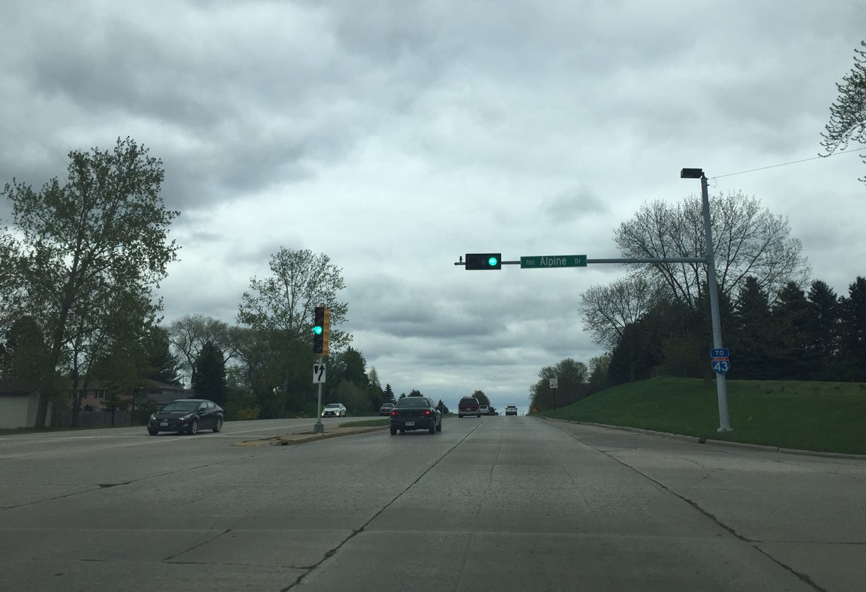
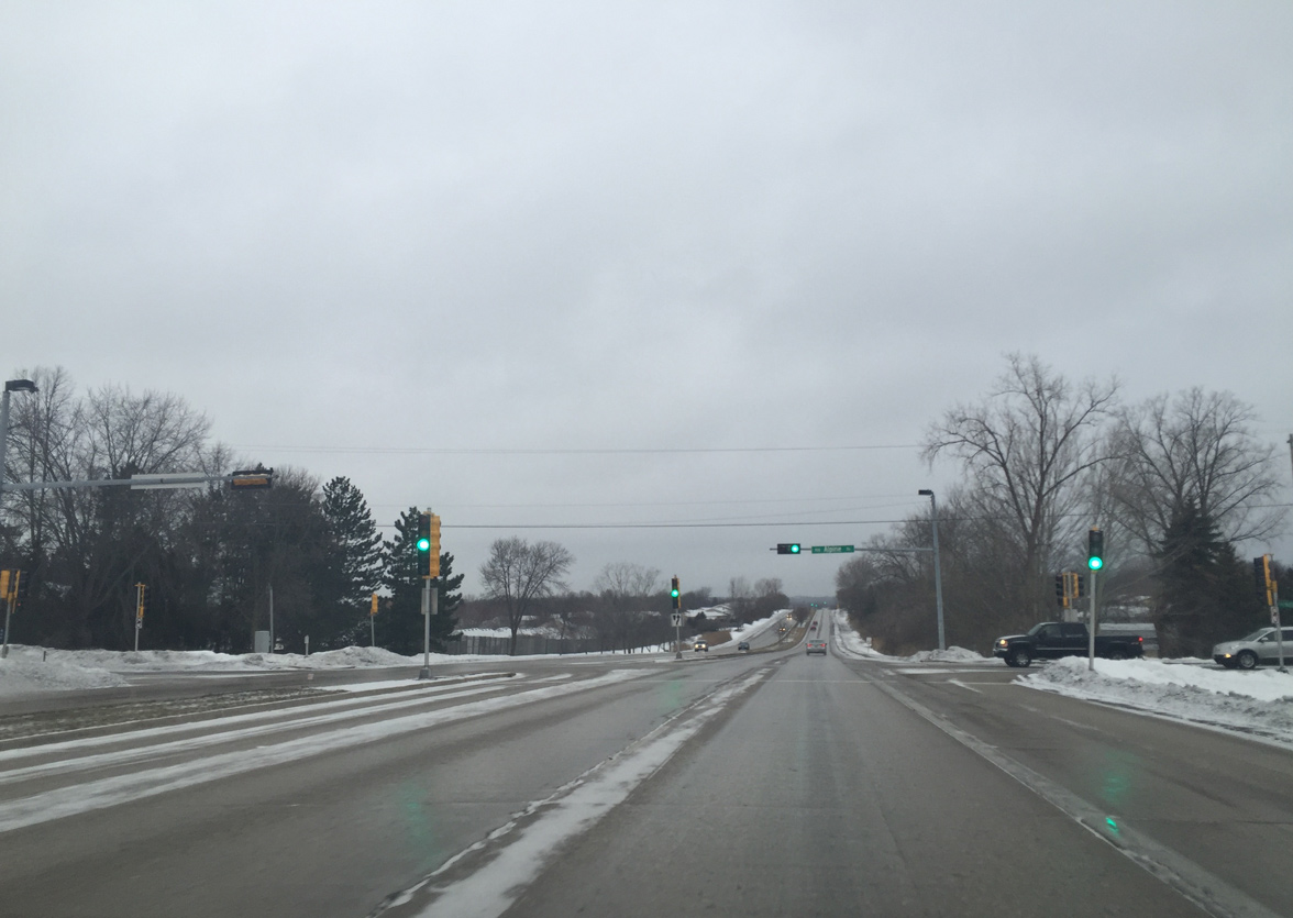
Another I-43 trailblazer appears at Alpine Drive. Alpine Drive provides the final access point from Mason Street for the adjacent neighborhoods.
05/14/16
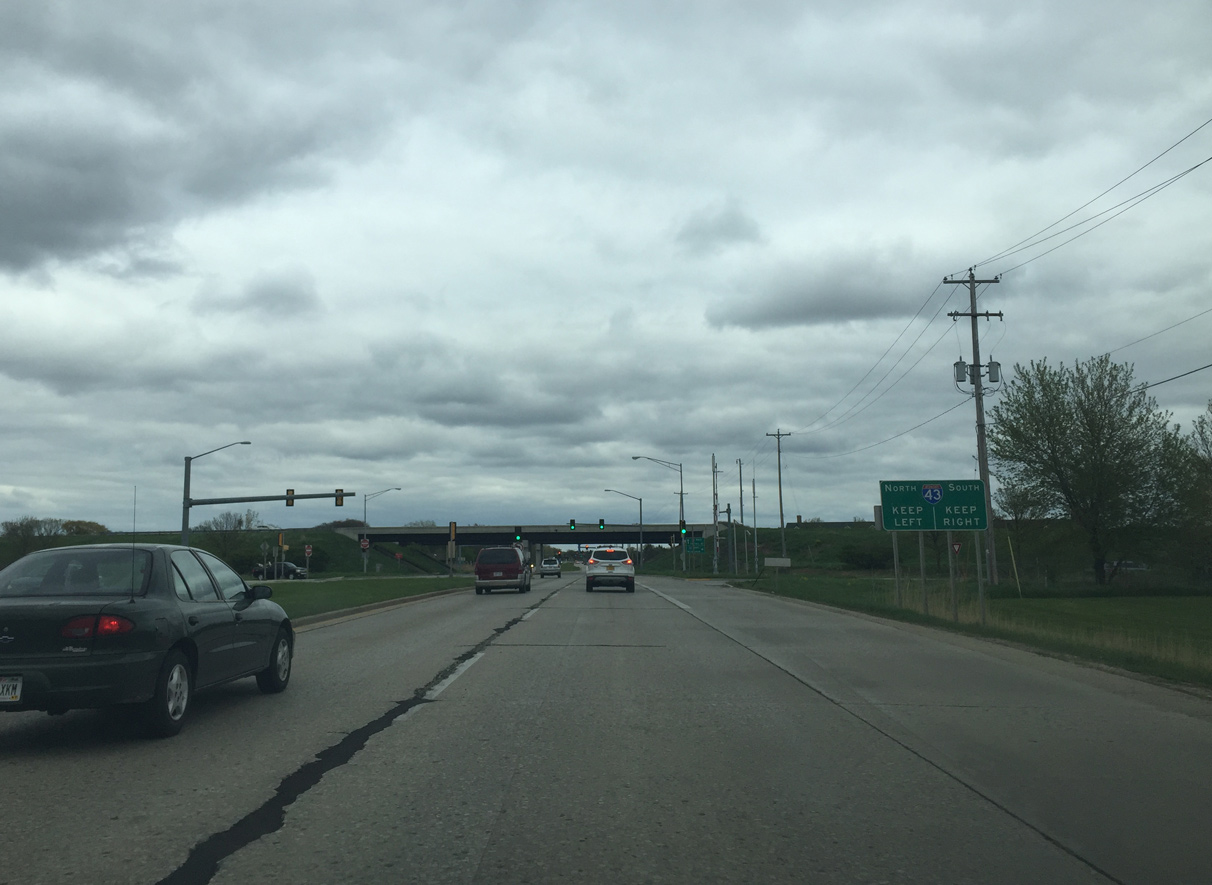
Entering the diamond interchange with Interstate 43 on County V (Mason Street) east. Finger Road, the adjacent and former through route to the town of Humbolt, was cut off by the freeway's construction.
05/14/16
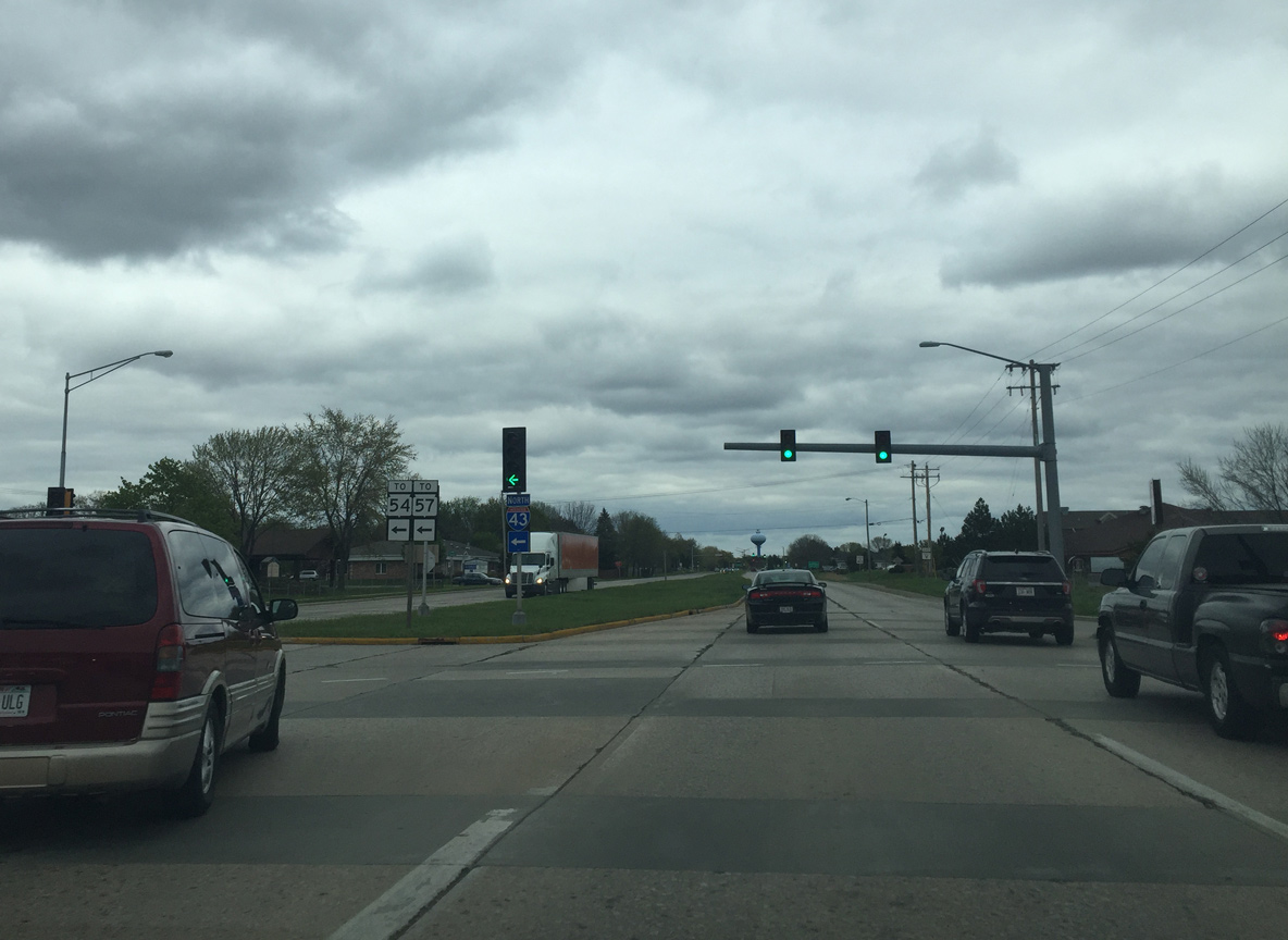
Trailblazers for Wis 54/57 are posted for traffic heading towards Algoma and Sturgeon Bay via I-43 north from CTH-V (Mason Street) east.
05/14/16
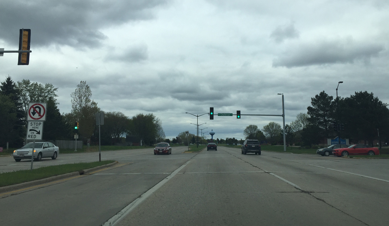
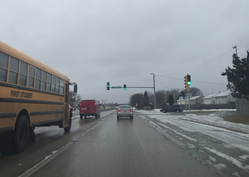
Challenger Drive is the first entrance to the sprawling I-43 Business Park from CTH-V.
05/14/16
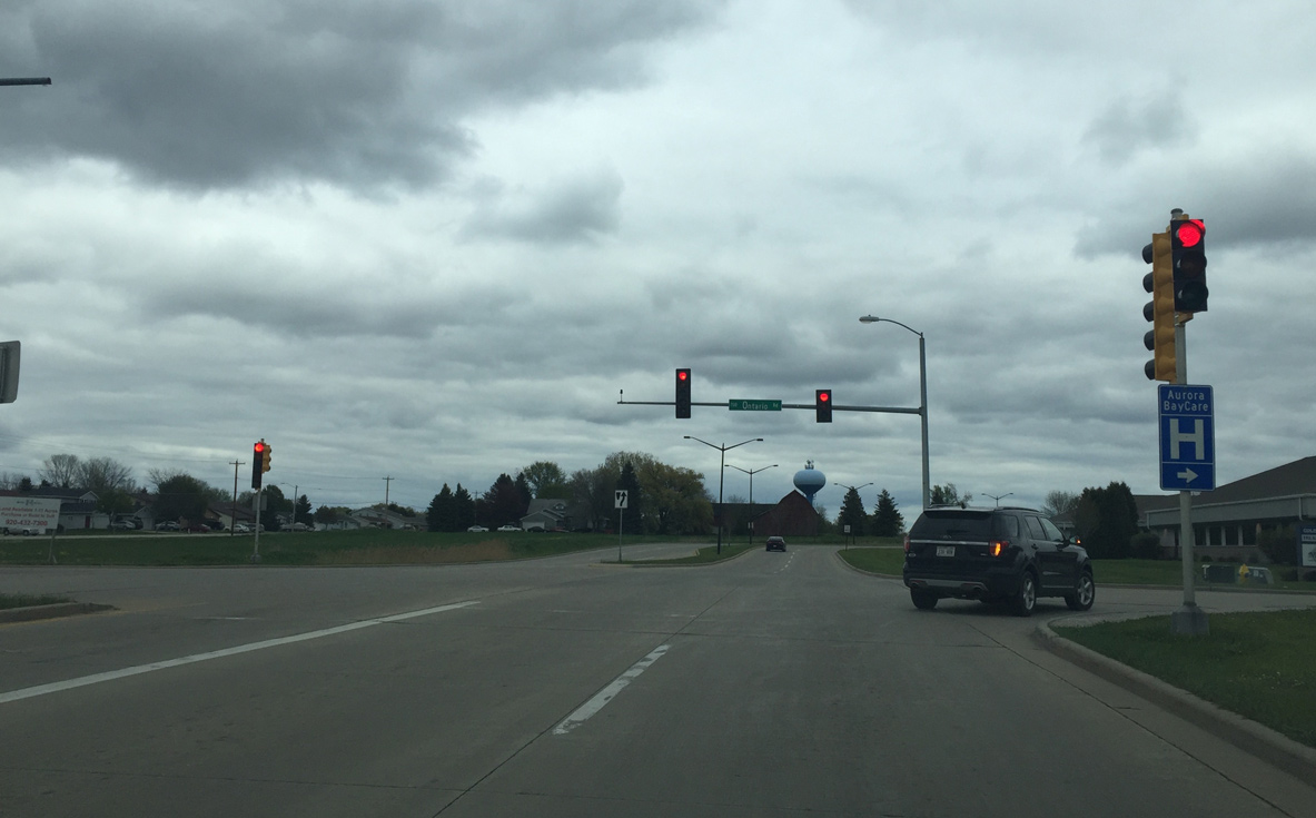
Ontario Drive leads south toward Aurora Hospital and a mix of businesses and residential areas. The road north ties into the McAuliffe Park neighborhood.
05/14/16

County EA (Huron Road) parallels I-43 and travels past a mix of businesses and residential areas in Green Bay and Bellevue.
05/14/16
The right lane becomes a dedicated turn lane as the four lane section of Mason Street is about to end.
05/14/16
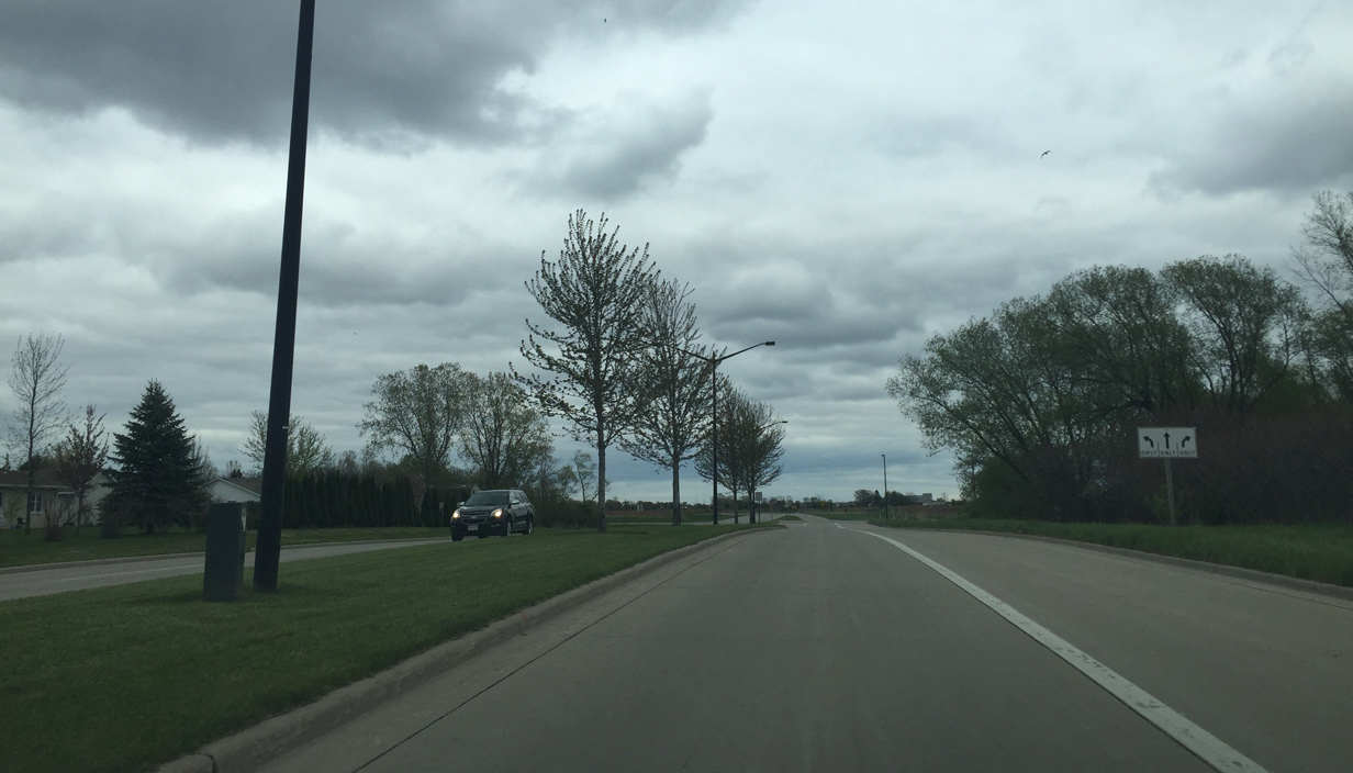
County V becomes two lanes after Erie Road. Erie Road north serves a handful of residential streets and Woods Golf Club while south travels through agricultural areas to Willow Road in Bellevue.
05/14/16
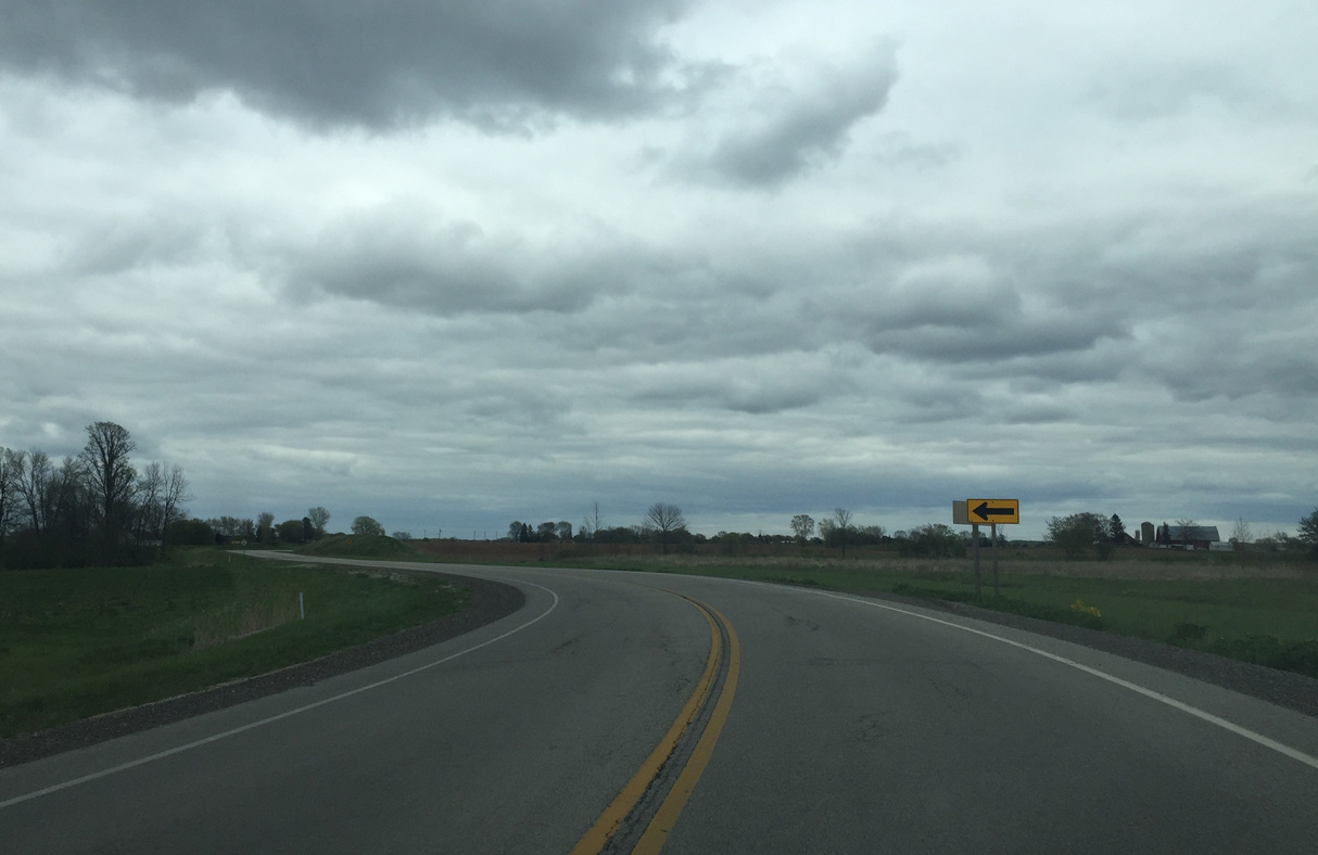
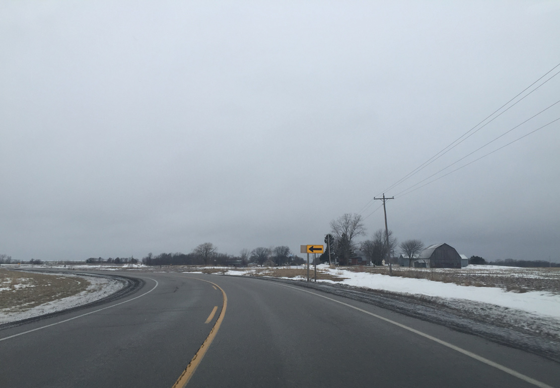
County V becomes a rural roadway as if curves towards its original alignment of Finger Road.
05/14/16
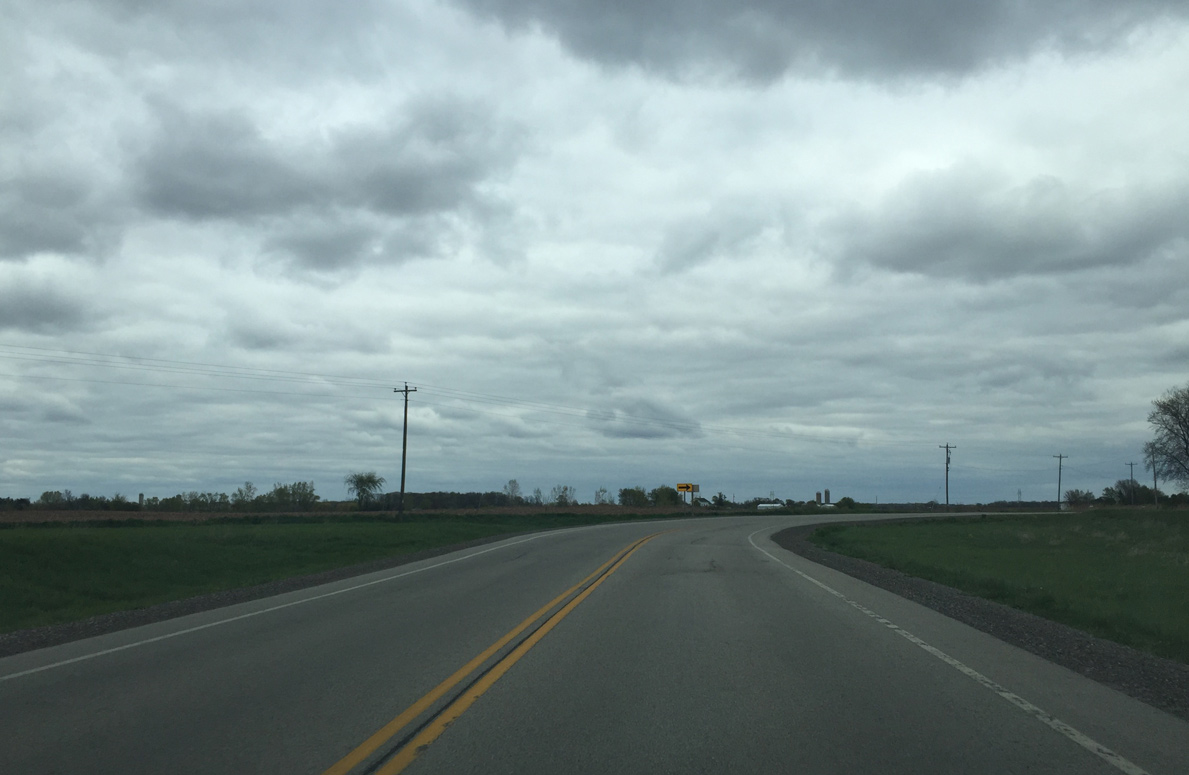
Eastbound County V curves into Finger Road as Mason Street ends. Disconnected to the west, Finger Road still runs parallel to County V between I-43 and Erie Road. It now ends at a cul de sac to the left.
05/14/16
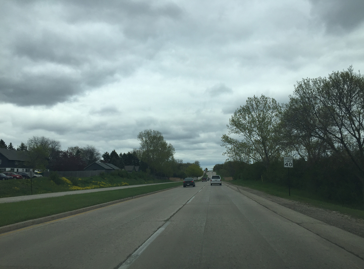
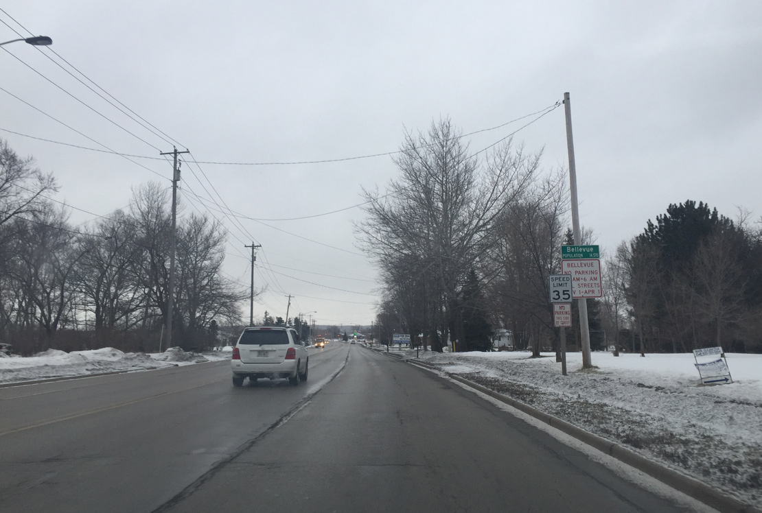
Speed limits increase to 55 miles per hour as County V leaves the Green Bay city limits beyond Northview Road.
05/14/16
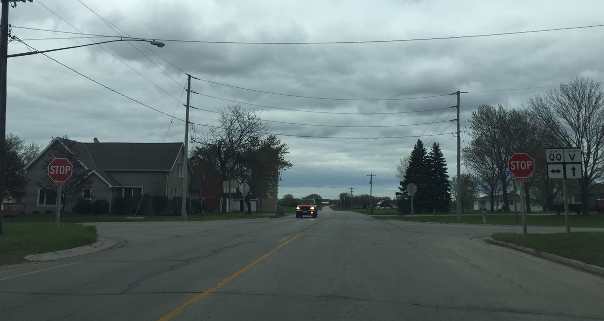
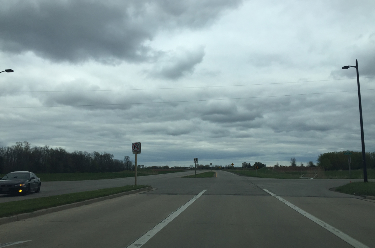
A half mile further east, CTH-V intersects CTH-QQ. CTH-QQ comprises a rural route north to CTH-N and south to Wis 29.
05/14/16
County V (Finger Road) enters the city of Green Bay at the intersection with Northview Road.
02/22/16
County V curves away from its old alignment with Finger Road onto East Mason Street.
02/22/16
Shifting a quarter mile south of the old alignment along Finger Road, County V (Mason Street) transitions into a four lane divided roadway at Erie Road.
02/22/16
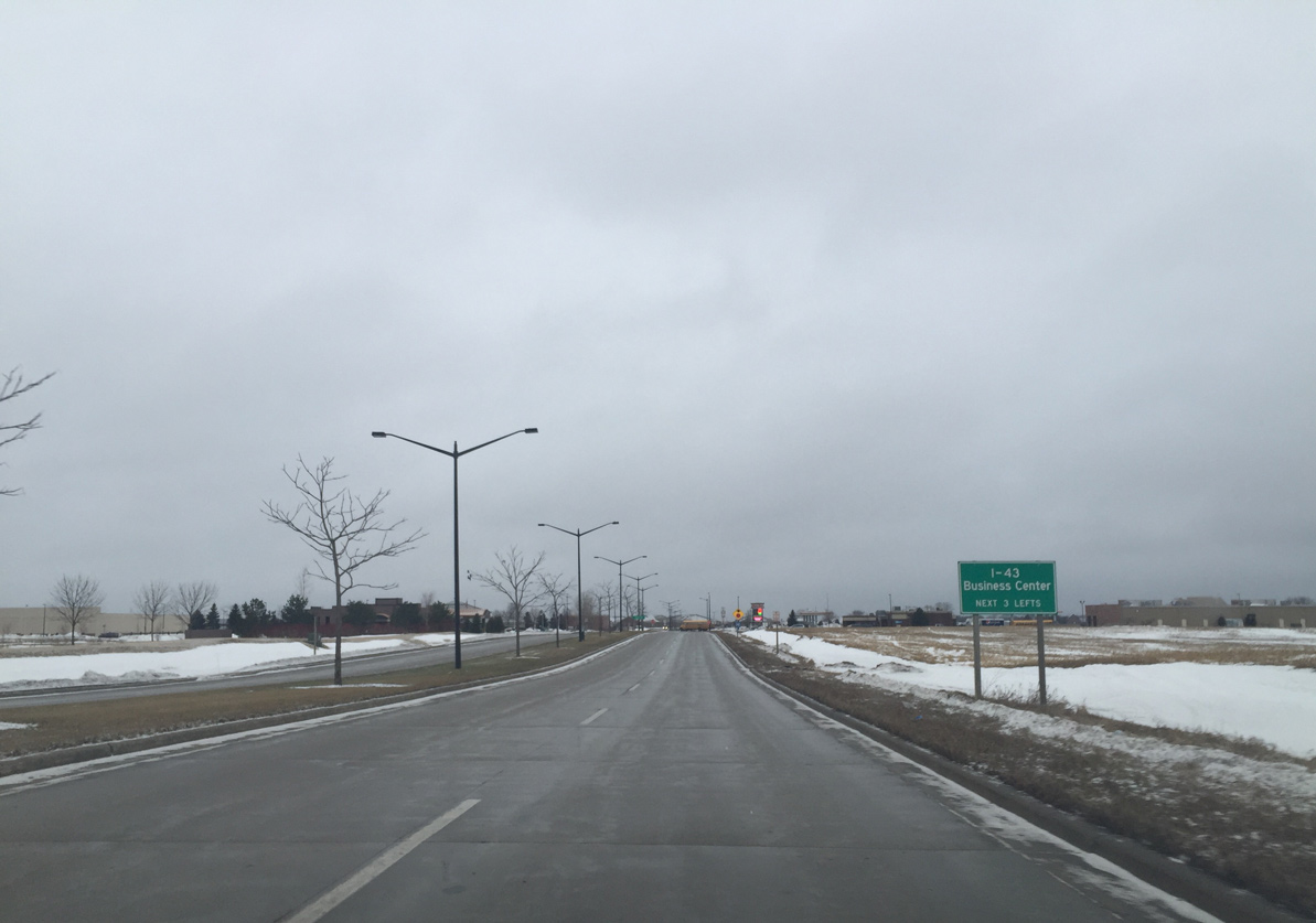
The next three intersections provide access to the I-43 Business Center. The industrial park area spreads to the south of Mason Street between Erie Road and Interstate 43.
02/22/16
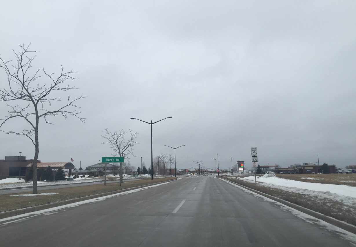
Mason Street forms a controlled access arterial west to East Town Mall. Meeting the trunk highway next is County EA (Huron Road).
02/22/16
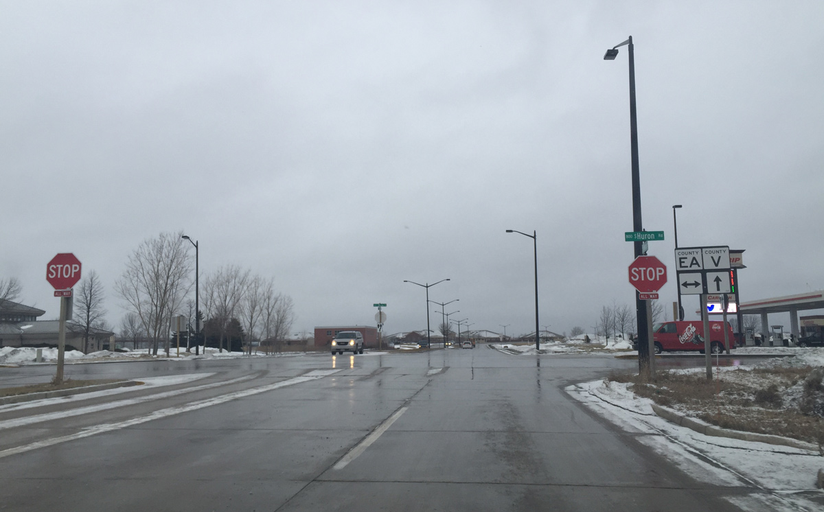
County EA (Huron Road) leads motorists north to UW Green Bay and south to the village of Bellevue. A four way stop governs the movements between the two arterials here.
02/22/16
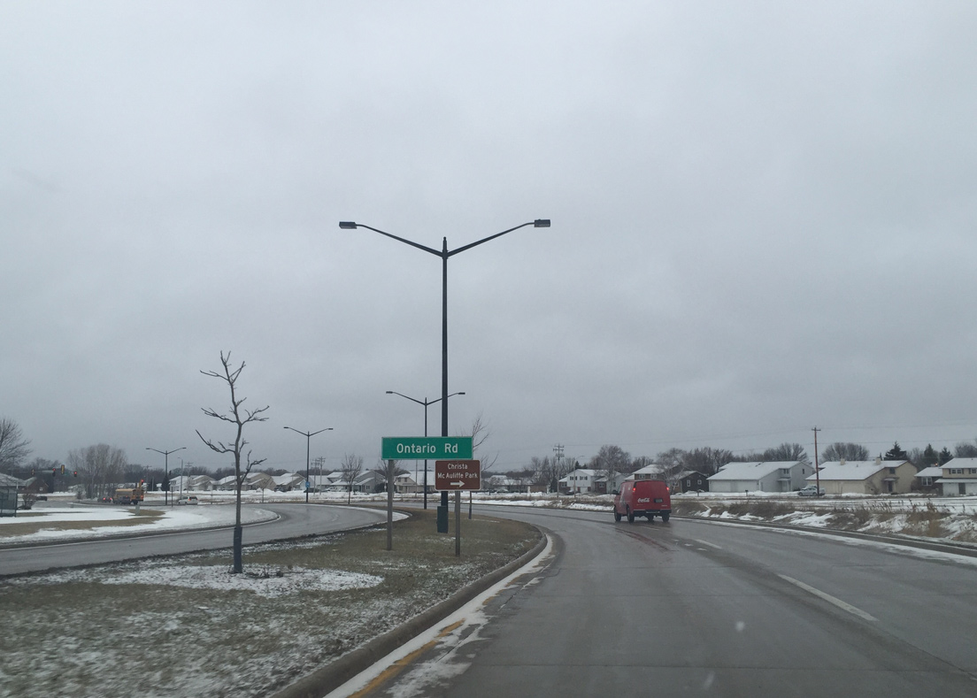
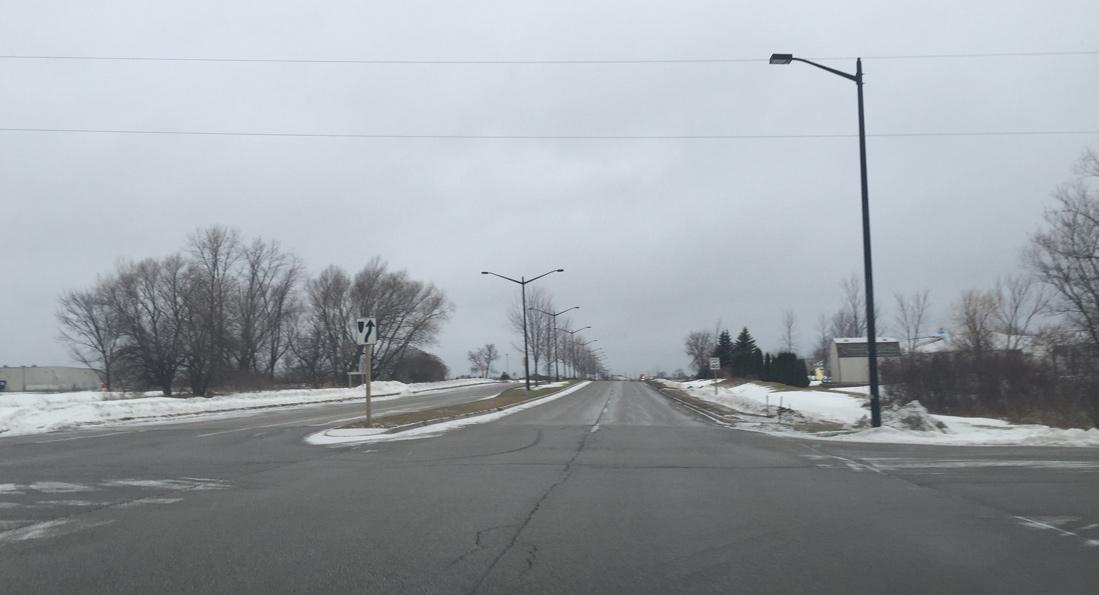
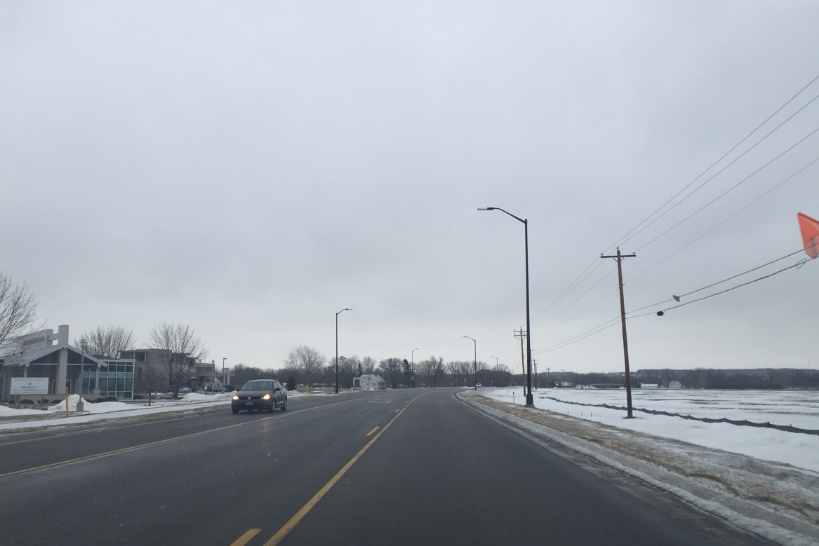
The roadway curves northwest and approaches Ontario Road at the McAuliffe Park neighborhood.
02/22/16
Intersection with Ontario Road and the first westbound signal along CTH-V (Mason Street).
02/22/16
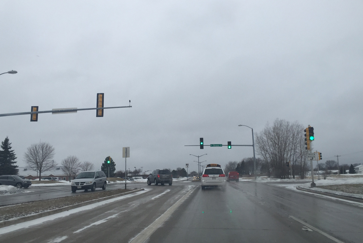
Challenger Drive connects County V with McAuliffe Park to the north and the I-43 Business Center to the south from this signal.
02/22/16
Superior Road south ties into CTH-V (Mason Street) ahead of the diamond interchange with Interstate 43.
02/22/16
![Interstate 43 encircles Green Bay north to the Leo Frigo Bridge across the Fox River and Interstate 41 [U.S. 41]. South from Bellevue, I-43 travels to Manitowoc and along Lake Michigan to Milwaukee.](../../wi/brown-co/cth-v_wb_at_i-043_01.jpg)
Interstate 43 encircles Green Bay north to the Leo Frigo Bridge across the Fox River and Interstate 41 [U.S. 41]. South from Bellevue, I-43 travels to Manitowoc and along Lake Michigan to Milwaukee.
02/22/16
Mason Street separates the Preble Park and Wilder Park communities west from Alpine Drive.
02/22/16
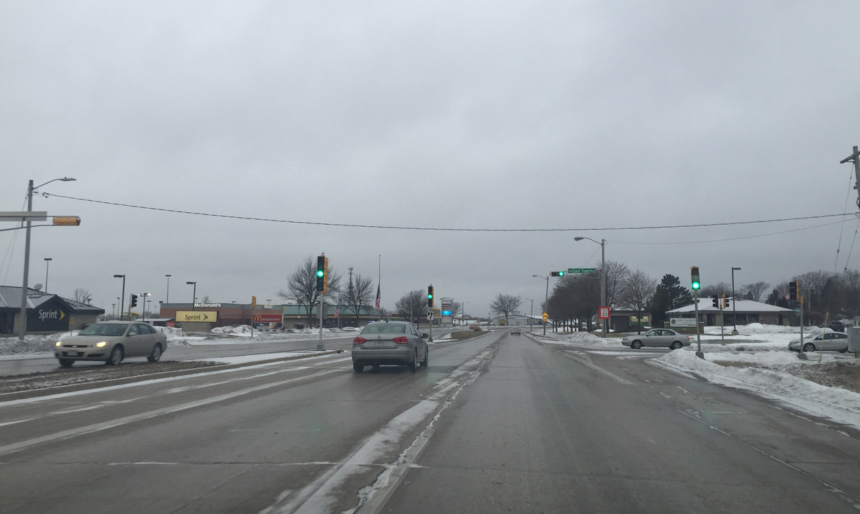
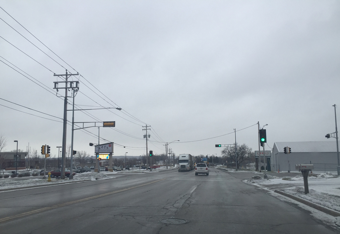
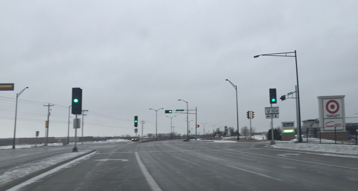
Big box retail appears at the intersection of East Town Drive.
02/22/16
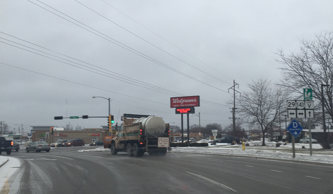
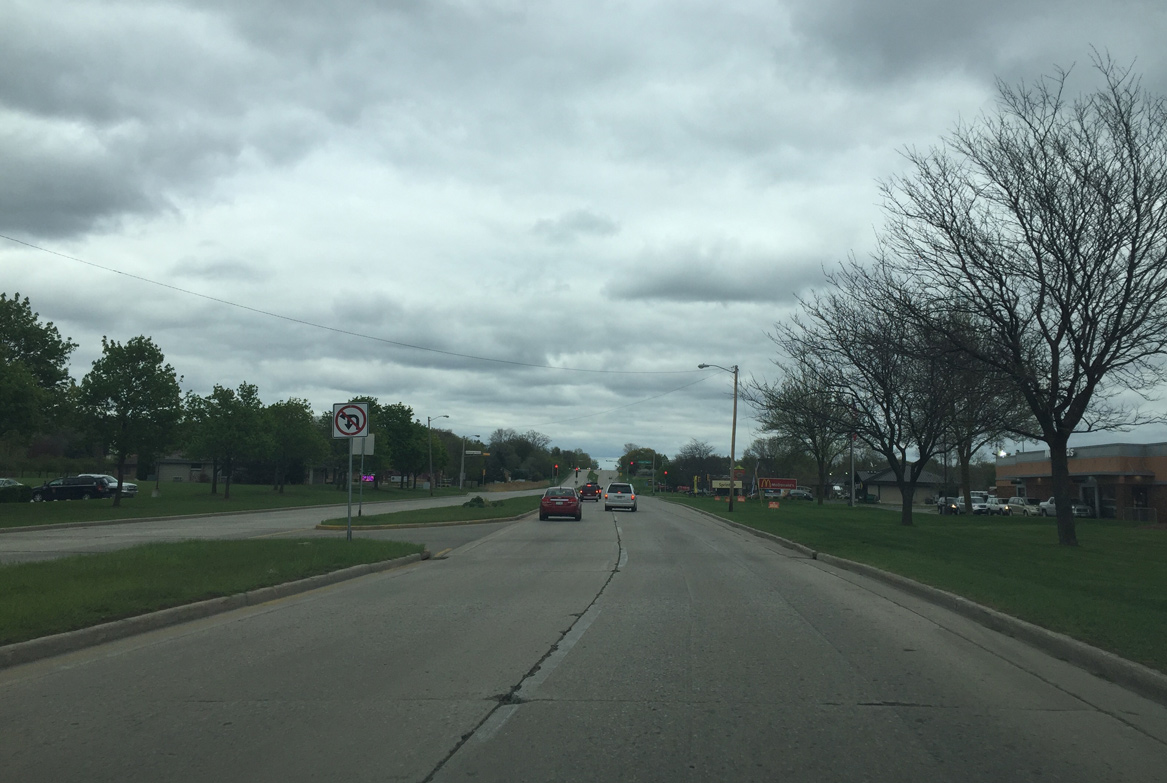
The divided arterial portion of Mason Street ends as CTH-V intersects U.S. 141/Wis 29. U.S. 141/Wis 29 overlap southeast to Bellevue and northwest to Downtown Green Bay.
02/22/16
County V turns south onto Lime Kiln Road. Mason Street continues west along the Oak Grove community to cross the East River to Joannes Park.
02/22/16
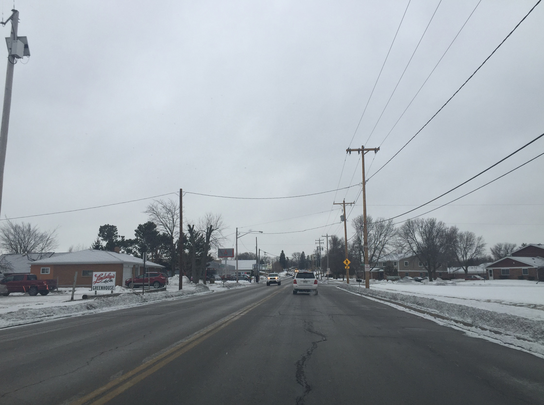
The initial stretch CTH-V along Lime Kiln Road consists of a two lane urban roadway.
02/22/16
County V expands to four lanes at the intersection of the JBS Meat Packing facility and Kroc Center.
02/22/16
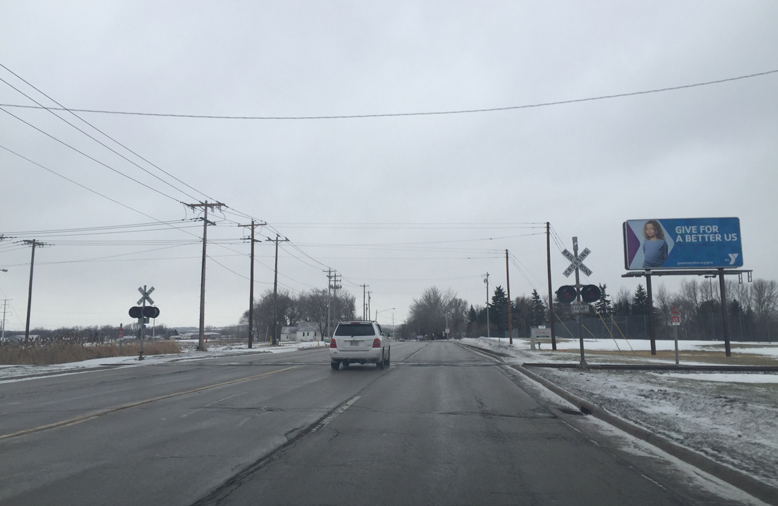
A Canadian National exempt railroad crossing follows along CTH-V (Lime Kiln Road) south.
02/22/16
Motorists along CTH-V (Lime Kiln Road) next enter the village of Bellevue.
02/22/16
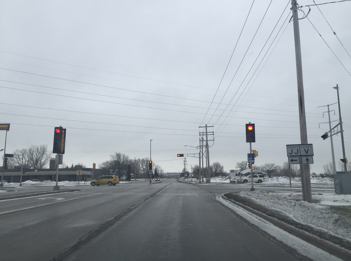
Brown County JJ lines Verlin Road east from Lime Kiln Road to a roundabout with U.S. 141/Wis 29 (Main Street). Manitowoc Road takes the trunk highway east from there to Interstate 43 and Eaton Road.
02/22/16
Allouez Avenue doubles as CTH-O west from CTH-V (Lime Kiln Road) 2.7 miles to Wis 57 (Riverside Drive).
02/22/16
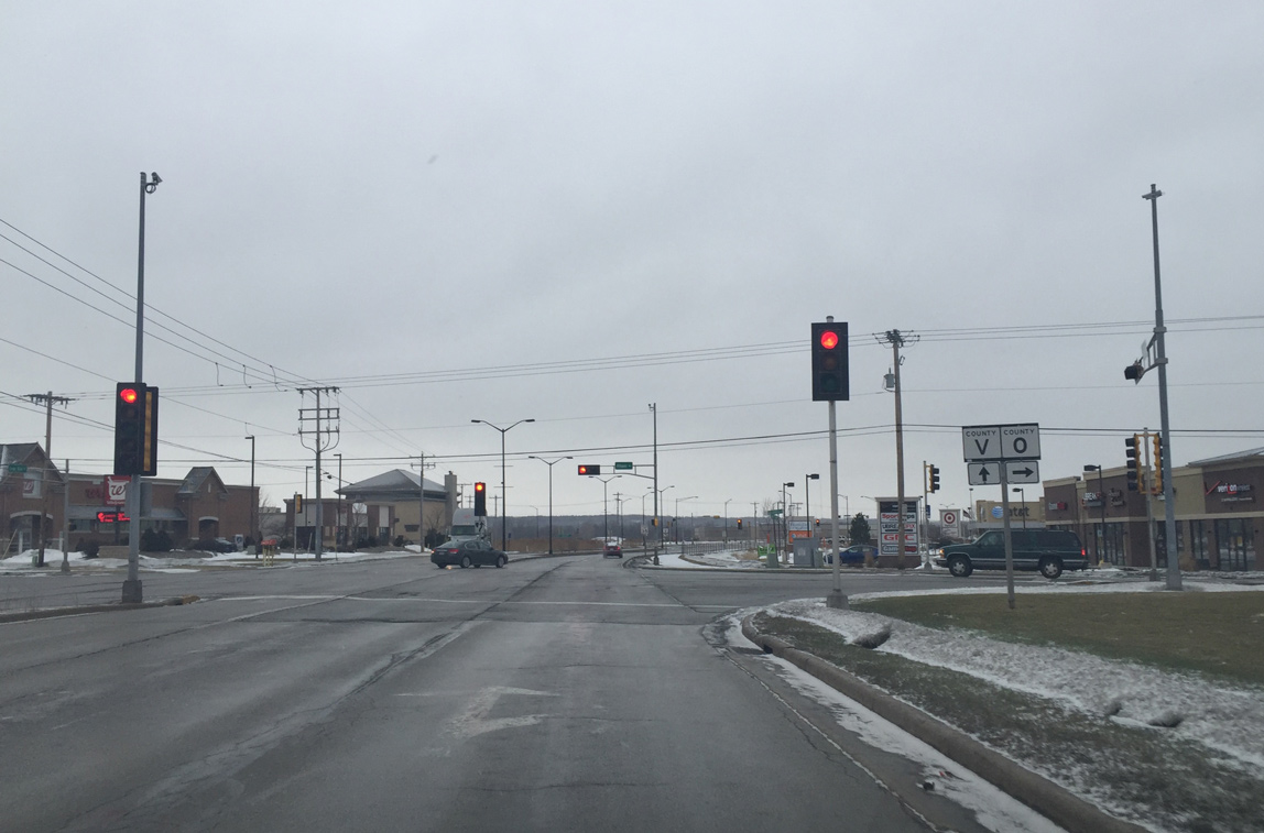
A commercialized stretch of CTH-V precedes the left turn of Lime Kiln Road at CTH-GV (Monroe Road).
02/22/16
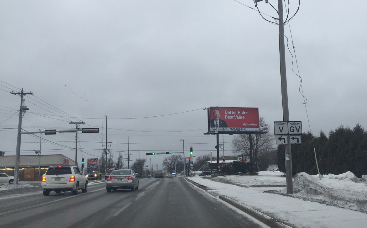
County V (Lime Kiln Road) angles southeast toward Kolbs Corner and County GV begins and leads southwest to the Wis 172 freeway and Allouez.
02/22/16
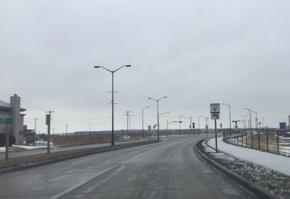
Leading away from CTH-GV (Monroe Road) along CTH-V south. This segment of Lime Kiln Road was reconstructed into a three lane roadway in 2015.
02/22/16

Landmark Boulevard stems west from County V back to County GV (Monroe Road) to service retail development.
02/22/16
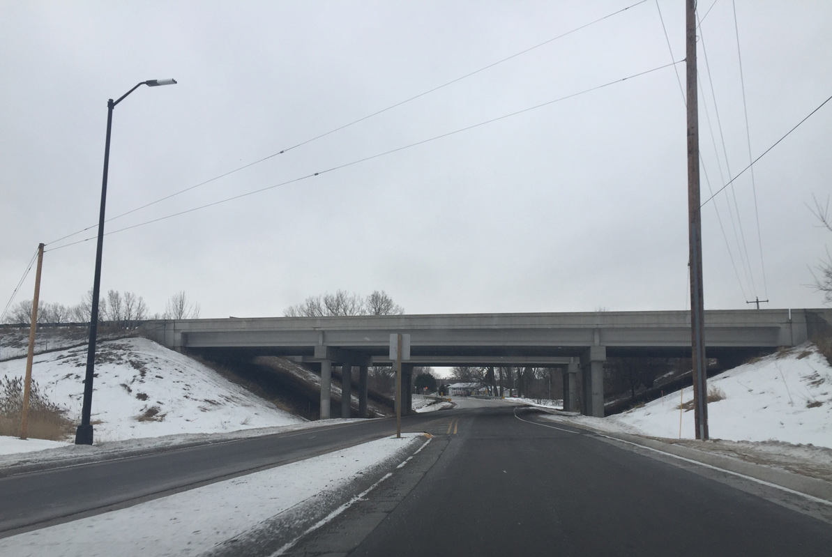
Passing under the Wis 172 overpass, CTH-V transitions to a two lane rural roadway.
02/22/16
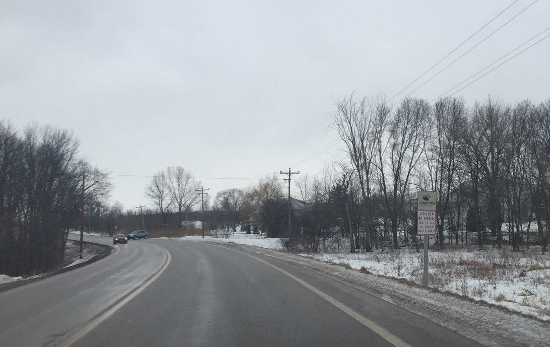
Motorists along County V enter the town of Ledgeview just south of Bower Creek.
02/22/16
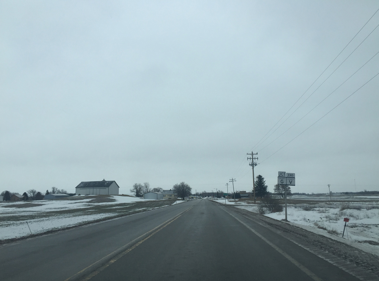
Approaching the rural south end of CTH-V at CTH-G (Dickinson Road) and Kolbs Corner.
02/22/16
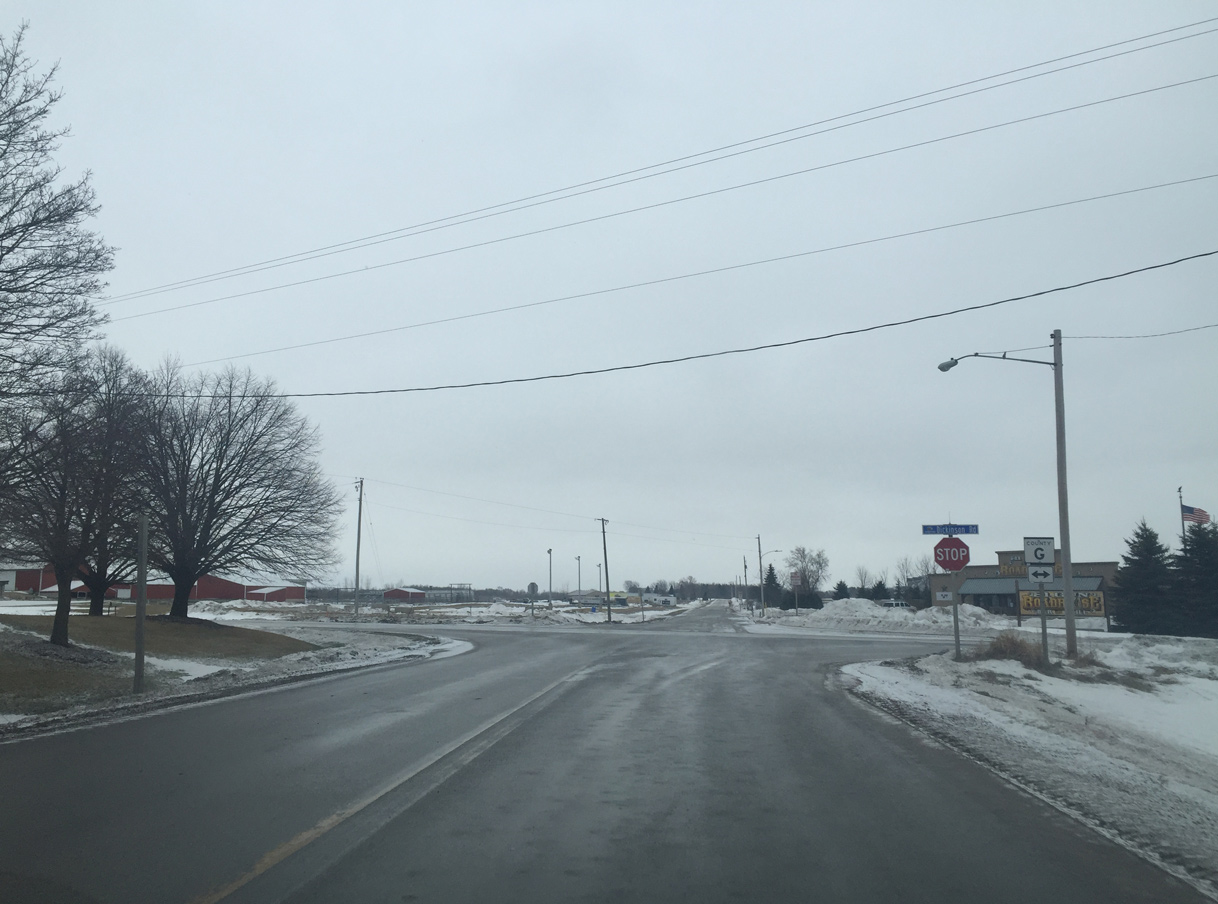
County G (Dickinson Road) arcs southeast from Allouez and Ledgeview to Wis 96 at Shirley. County MM ties into Dickinson Road nearby to provide access to I-43 and U.S. 141.
02/22/16
Photo Credits:
- Peter Johnson: 02/22/16, 05/14/16
Connect with:
Page Updated Thursday June 09, 2016.