
State Route 5 Alternate

Delaware State Route 5 Alternate provides a truck bypass for SR 5 west of Milton. The state route lines Sand Hill Road (Road 319) 1.3 miles west from SR 5 (Harbeson Road / Road 22) by Diamond Pond to SR 30 (Gravel Hill Road). Overlaps take the route 1.1 miles north alongside SR 30 (Road 248) to SR 16 (Broadkill Road), and east 1.4 miles back to SR 5 via SR 16.1 Fairly well posted in the field, the designation first appeared on the 2001 edition of the Official Delaware Highway Map.
Delaware State Route 5 Alternate - 2015 Annual Average Daily Traffic (AADT)
- 3,287 - SR 5 (Harbeson Road) to SR 30 (Gravel Hill Road)
- 3,301 - Sand Hill Road to SR 16
 North
North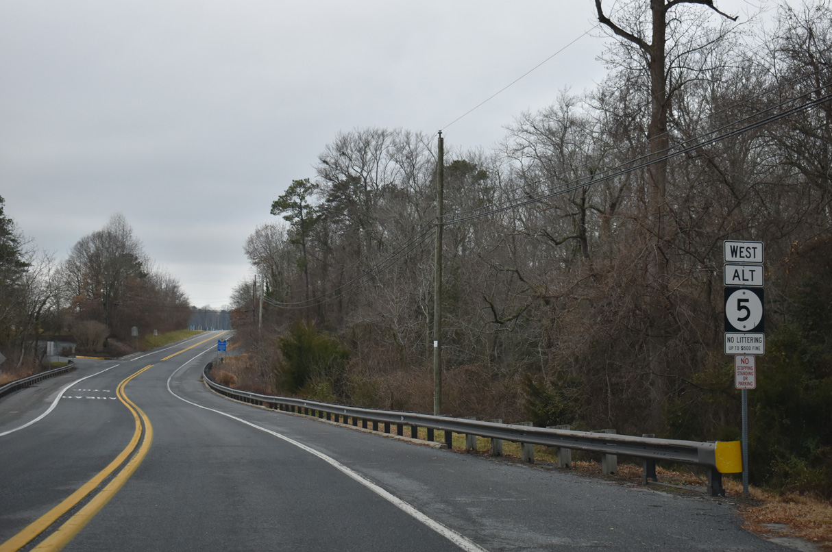
SR 5 ALT commences west along Sand Hill Road from SR 5 (Harbeson Road) just south of the Milton town line. Sand Hill Road crosses Ingram Branch by Diamond Pond and this confirming marker.
12/27/25

Former agricultural land along the south side of Sand Hill Road at Lavinia Street gave way to development of the Granary at Draper Farm subdivision in 2025.
12/27/25
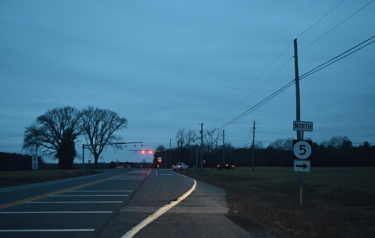
Sand Hill Road intersects SR 30 (Gravel Hill Road) by remaining farm land at a stop sign. SR 30 follows Gravel Hill Road south to Zoar and Millsboro.
12/27/25
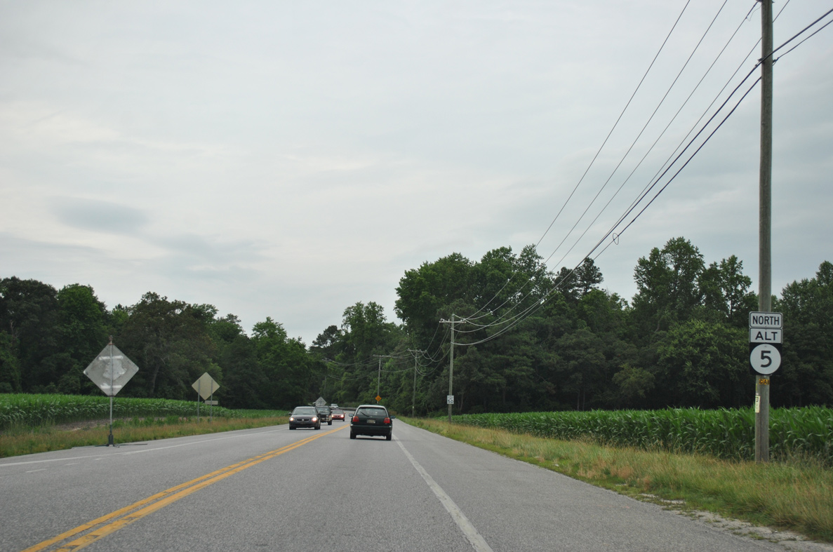
Beyond SR 30 (Gravel Hill Road), Sand Hill Road (Rd 319) turns south 5.4 miles to Sand Hill and U.S. 9/SR 404 on the east side of Georgetown.
12/27/25
 North
North
SR 5 Alt combines with SR 30 (Gravel Hill Road) north to cross Pemberton Branch.
06/18/12
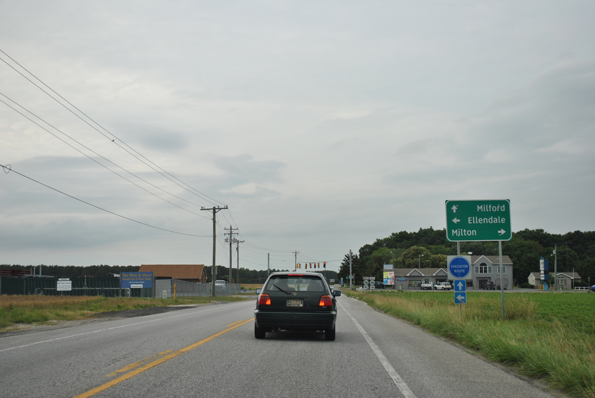
SR 5 Alt / SR 30 north intersect SR 16 (Milton Ellendale Highway) less than a mile from the Milton town line and 4.6 miles east of Ellendale.
06/18/12
North  East
East
SR 5 Alt accompanies SR 16 (Milton Ellendale Highway) east from SR 30 (Isaacs Road) to the north end of Milton.
01/16/17
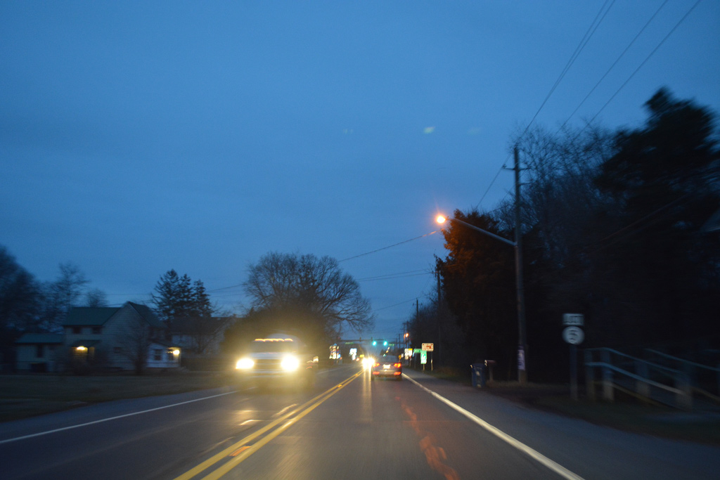
Traveling east, Milton Ellendale Highway reaches the Milton town line at the Collins and Russell development at Collins Street. SR 16 (Broadkill Road) intersects SR 5 (Union Street) a short distance further.
01/16/17

SR 5 Alt ends as SR 5 north follows Union Street Extension to SR 1 at Maples Pond. SR 5 (Union Street) south bisects Milton through the Historic District.
01/16/17
South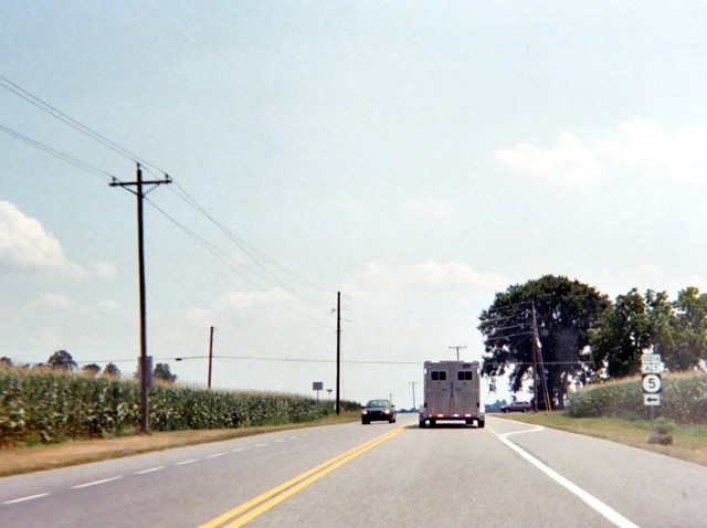
SR 5 Alt turns south from SR 16 (Milton Ellendale Highway) at SR 30 (Gravel Hill Road), northwest of Milton. SR 5 Alternate overlaps with SR 30 to Sand Hill Road while SR 16 continues west to Ellendale and Greenwood.
07/05/04
Photo Credits:
- Alex Nitzman: 06/18/12, 01/16/17, 12/27/25
- Adam Froehlig: 07/05/04
Connect with:

Page Updated Monday January 12, 2026.