
State Route 5

Delaware State Route 5 heads north from Oak Orchard to Milton and SR 1 in eastern Sussex County. The state route serves growing suburban areas off Indian River Bay, with overlaps along SR 24 (John J. Williams Highway) east and SR 23 (Indian Mission Road) north. Beyond the split with SR 23, SR 5 shifts west to the settlements of Andersons Corner and Harbeson before reaching the town of Milton. SR 5 Alternate provides a truck bypass around the west side of Milton while SR 5 follows Federal and Union Streets through the business district. The state route concludes at a rural intersection with SR 1 (Coastal Highway) near Waples Pond.
The alignment of State Route 5 remains unchanged since the 1938 Official Delaware Highway Map. SR 23 was added alongside SR 5 by 1994, though the concurrency is poorly posted.
Delaware State Route 5 - 2015 Annual Average Daily Traffic (AADT)
- 2,318 - River Road (Road 312) to SR 24
- 18,735 - Oak Orchard Road to Indian Mission Road (SR 23)
- 5,069 - SR 24 to Hollyville Road
- 6,088 - Shingle Point Road to south Milton limits
- 3,392 - SR 16 to SR 1
 North
North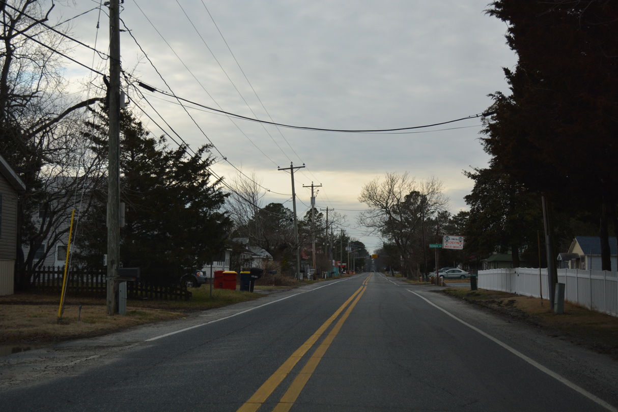
SR 5 begins as Oak Orchard Road leads northwest from River Road through the Orchard Manor community.
01/16/17
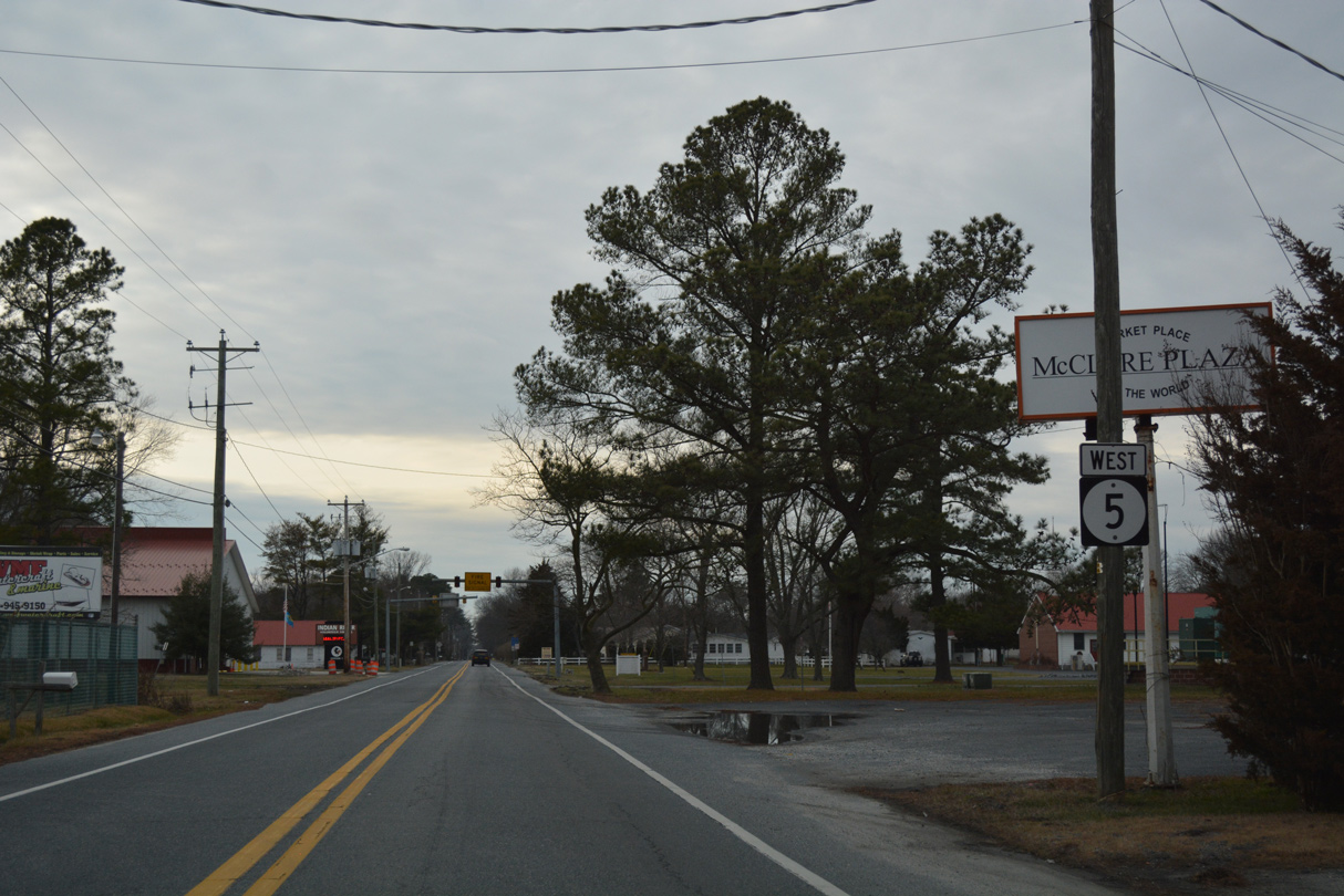
Posted north of Cerise Lane, the first shield for SR 5 references the route as traveling westbound.
01/16/17
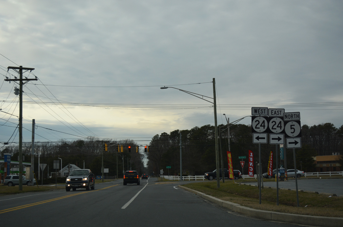
SR 5 travels 1.99 miles north from Oak Orchard to merge with SR 24 (John J. Williams Highway) east. SR 24 west follows the northern periphery of Indian River to Millsboro with traffic counts exceeding 30,000 vehicles per day.
01/16/17
North  East
East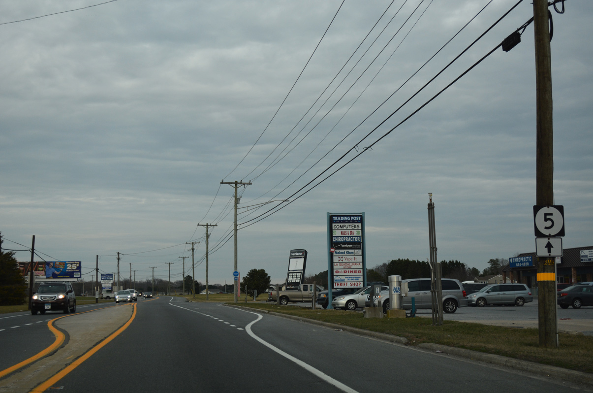
SR 5 north / SR 24 east overlap for 1.57 miles by a mixture of commercial strip centers and residential subdivisions. SR 24 is omitted from signage along the stretch.
01/16/17
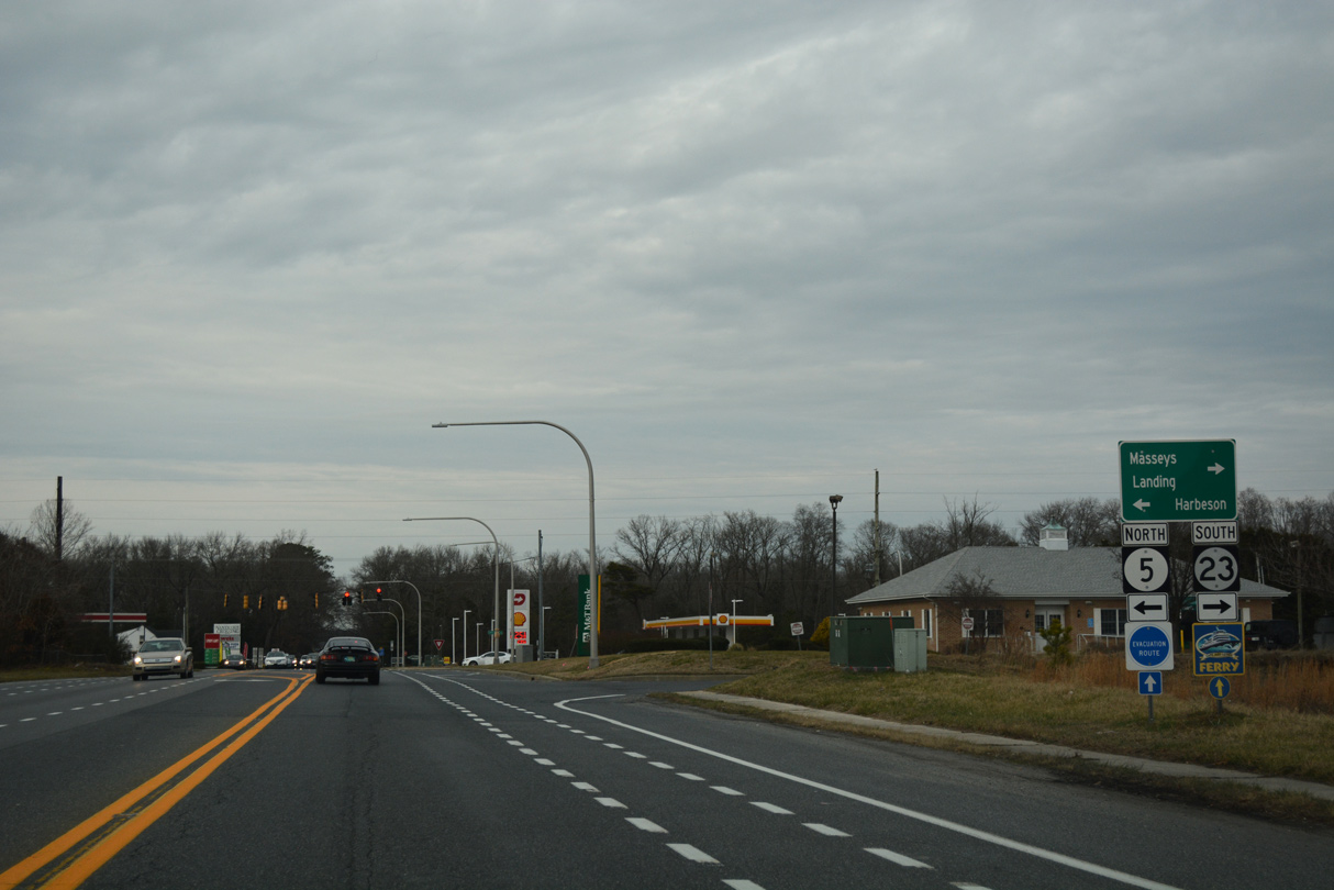
Advancing north, SR 5 parts ways with SR 24 to combine with SR 23 (Indian Mission Road) north toward Fairmont. SR 23 spurs southeast 5.47 miles along Long Neck to Masseys Landing.
01/16/17
 North
North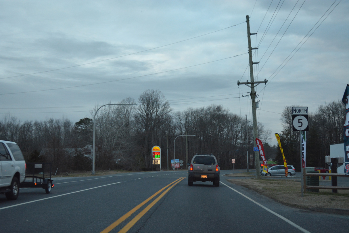
SR 23 combines with SR 5 north along Indian Mission Road between SR 24 and Beaver Dam Road. Signs posted along the overlap omitted SR 23 by 2015.
01/16/17
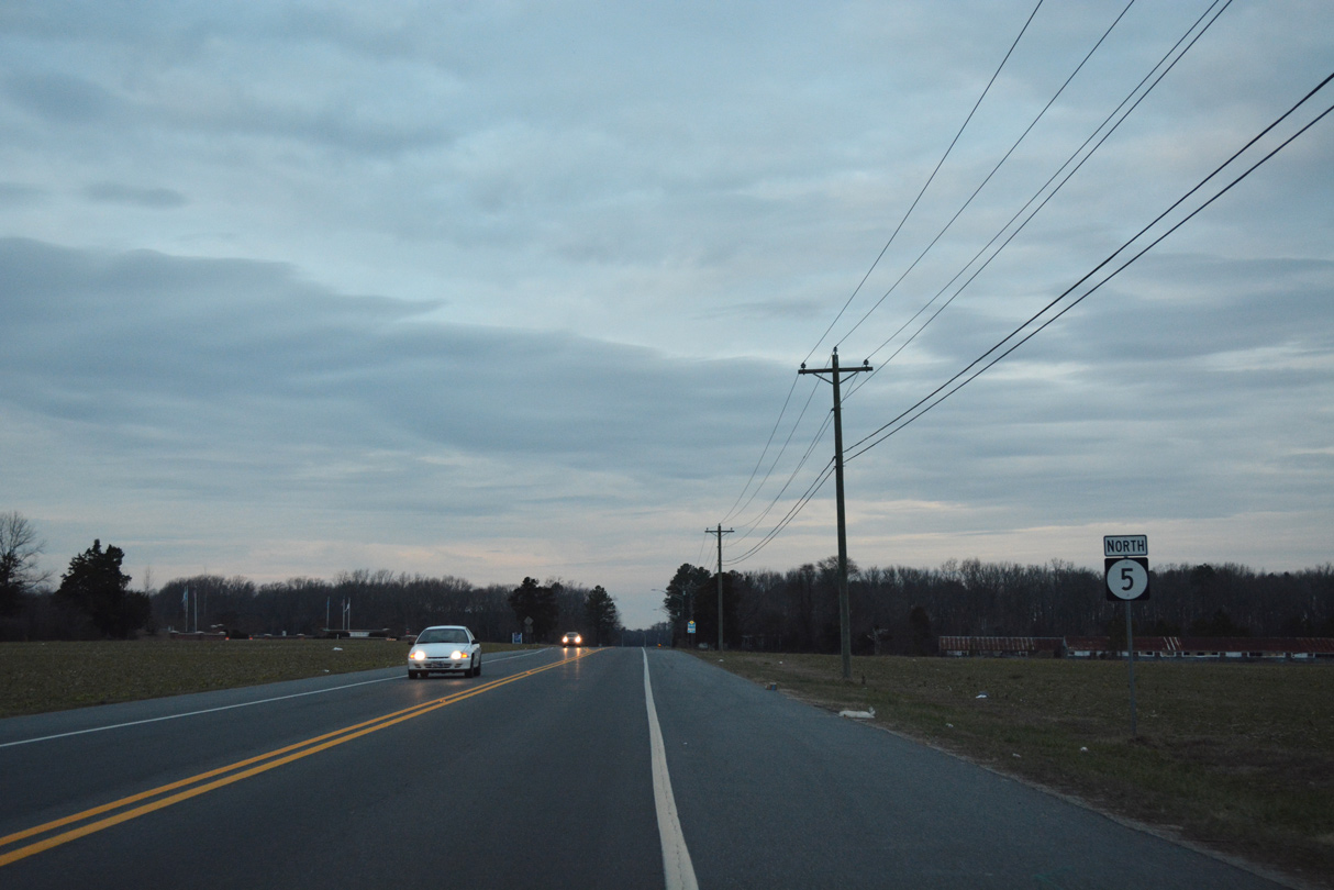
SR 5/23 (Indian Mission Road) progress north from Harmons Hill Road by this reassurance marker.
01/16/17
North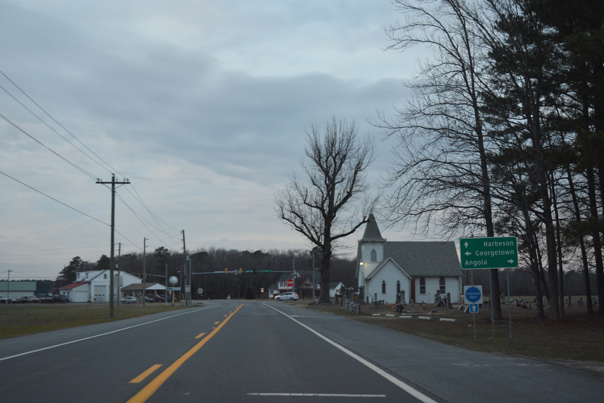
SR 5 (Harbeson Road) north next crosses paths with former SR 24 Alt. The bannered route followed Hollyville Road west and Hollymount Road east as part of its route between Zoar and Midway. Signs for SR 24 Alt were removed here by 2017.
01/16/17
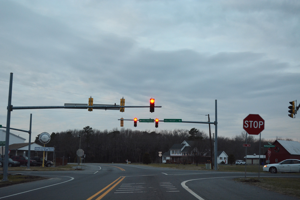
Mast-arm supported traffic lights were added at Harbeson and Hollyville Roads by 2008. Remaining in flash mode, the intersection was converted to a four-way stop by 2012.
01/16/17

Harbeson Road winds northwest from Hollymount Road to Andersons Corner through forest and farm land.
01/16/17
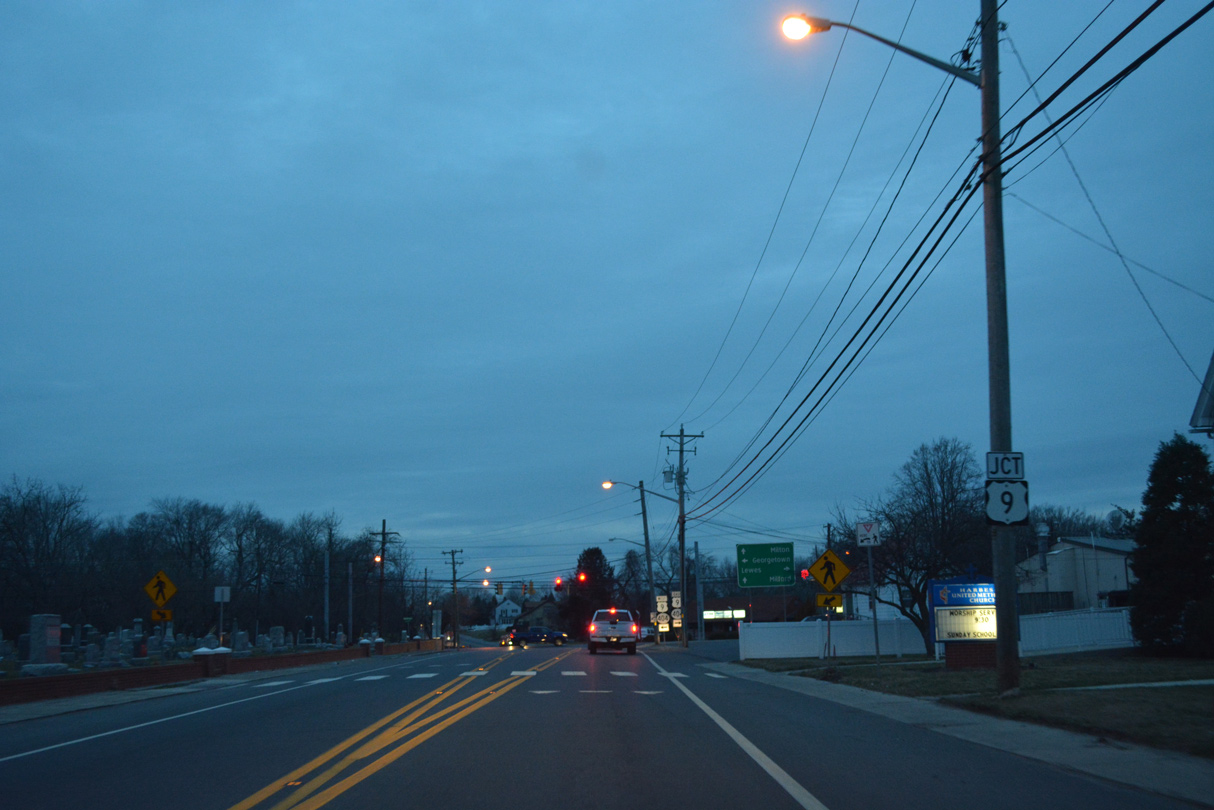
Entering the community of Harbeson, SR 5 approaches U.S. 9/SR 404 (Lewes Georgetown Highway). Harbeson is home to a poultry plant.
01/16/17

U.S. 9 and SR 404 overlap east to SR 1 at Five Points and west to Downtown Georgetown. Together with MD 404, SR 404 is the preferred east-west route for through traffic between the Delaware beaches and Baltimore-Washington via U.S. 50.
01/16/17
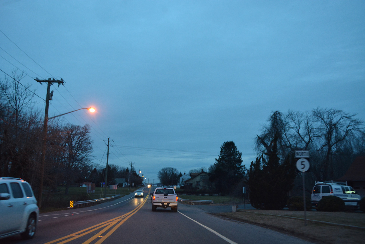
Leaving Harbeson, SR 5 passes by the Beaver Creek subdivision before resuming across open farm land to Round Pole Branch.
01/16/17
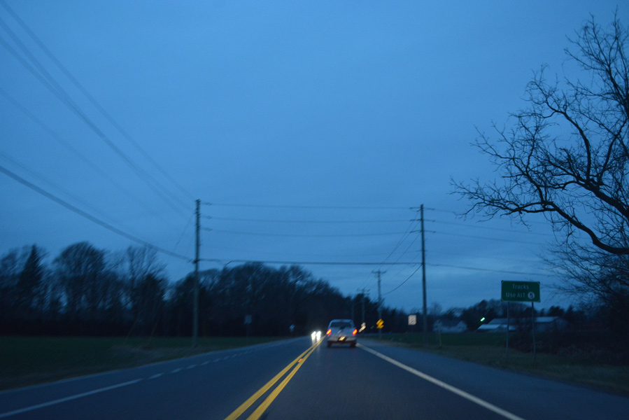
SR 5 north reaches the southern outskirts of Milton by the Heritage Creek and Cannery Village developments. A rural intersection follows with SR 5 Alt (Sand Hill Road) west.
12/27/25
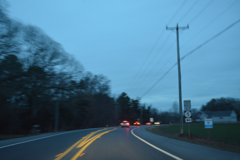
SR 5 ALT circumvents Milton west along a combination of Sand Hill Road, SR 30 (Gravel Hill Road) and SR 16 (Milton Ellendale Highway).
12/27/25

SR 5 (Union Street Extension) concludes north of the Waples Pond Acres neighborhood at SR 1 (Coastal Highway).
12/27/25

SR 1 (Coastal Highway) crosses Waples Pond north from SR 5 ahead of Argo Corners and Milford. Heading southeast, SR 1 travels to Five Points near Lewes and Rehoboth Beach.
12/27/25
South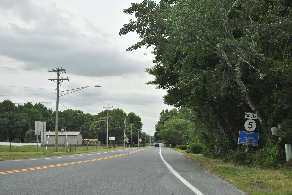
SR 5 branches southwest along Union Street Extension from SR 1 near Waples Pond.
12/27/25
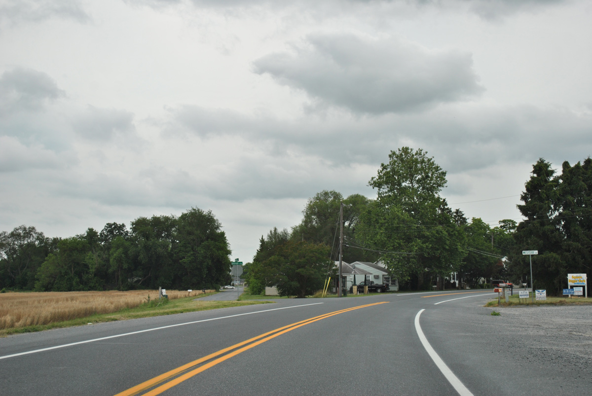
Nearing the Milton town line, SR 5 (Union Street Extension) shifts west at Morrison Avenue Extension.
06/18/12
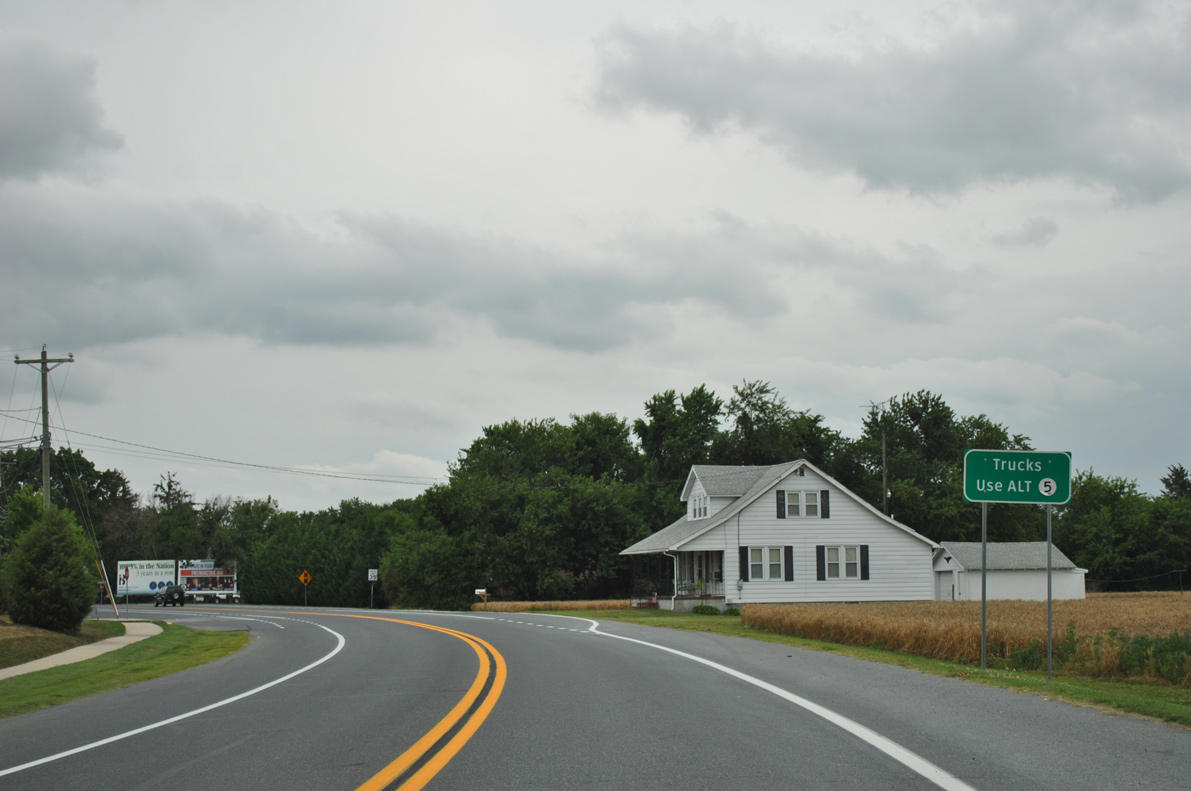
Trucks headed south to Harbeson via SR 5 are advised to use SR 5 Alt to bypass Downtown Milton. The truck route follows SR 16 west, SR 30 south and Sand Hill Road east along a nearly four mile loop.
06/18/12
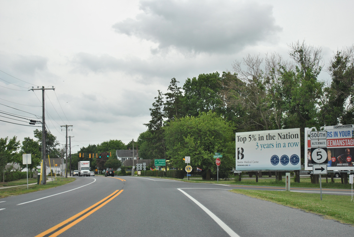
Cedar Creek Road winds southeast from SR 30 (Isaacs Road) to end at SR 5 (Union Street Extension) just ahead of both SR 5 Alternate south and SR 16 (Milton Ellendale Highway).
06/18/12
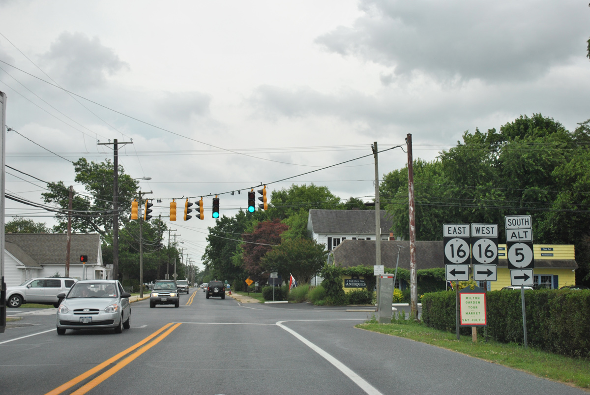
SR 16 (Broadkill Road) leads east from Milton to SR 1 (Coastal Highway) and Broadkill Beach on Delaware Bay. Westward beyond SR 5 Alt, the state route travels 4.8 miles to Ellendale and 14 miles to Greenwood.
06/18/12

SR 5 continues south from SR 16 (Broadkill Road) along Union Street to Willow Street and Bay Avenue.
12/27/25
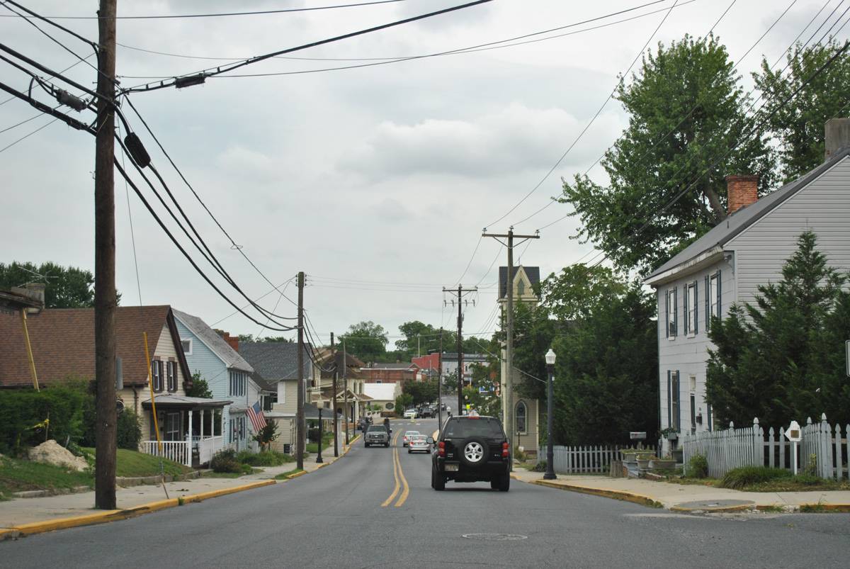
Union Street lowers toward the Broadkill River and the Milton Historic District.
12/27/25
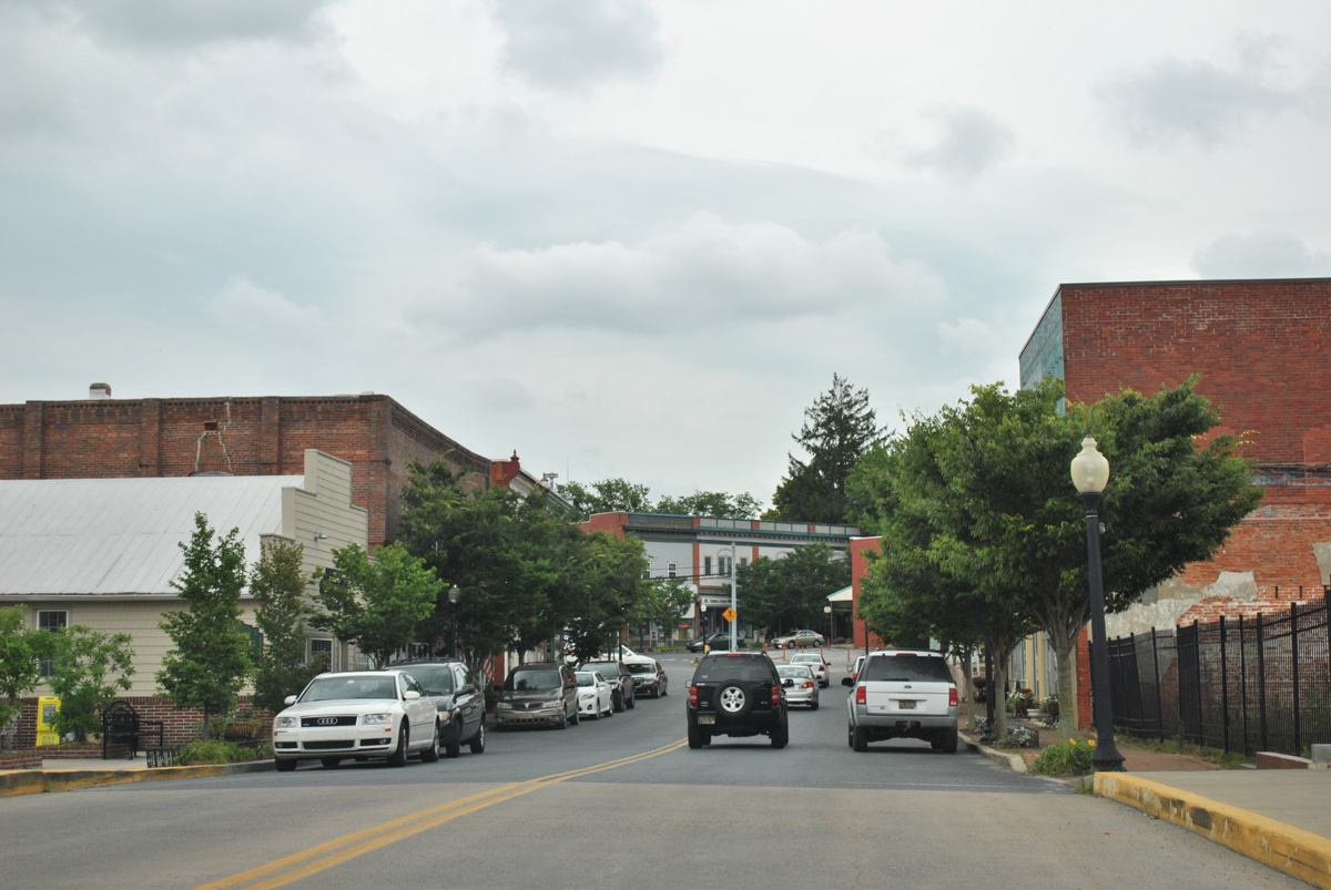
SR 5 (Union Street) crosses the Broadkill River on a 24.9 foot long bridge built in 1993 (Baughn, n.d.).
12/27/25
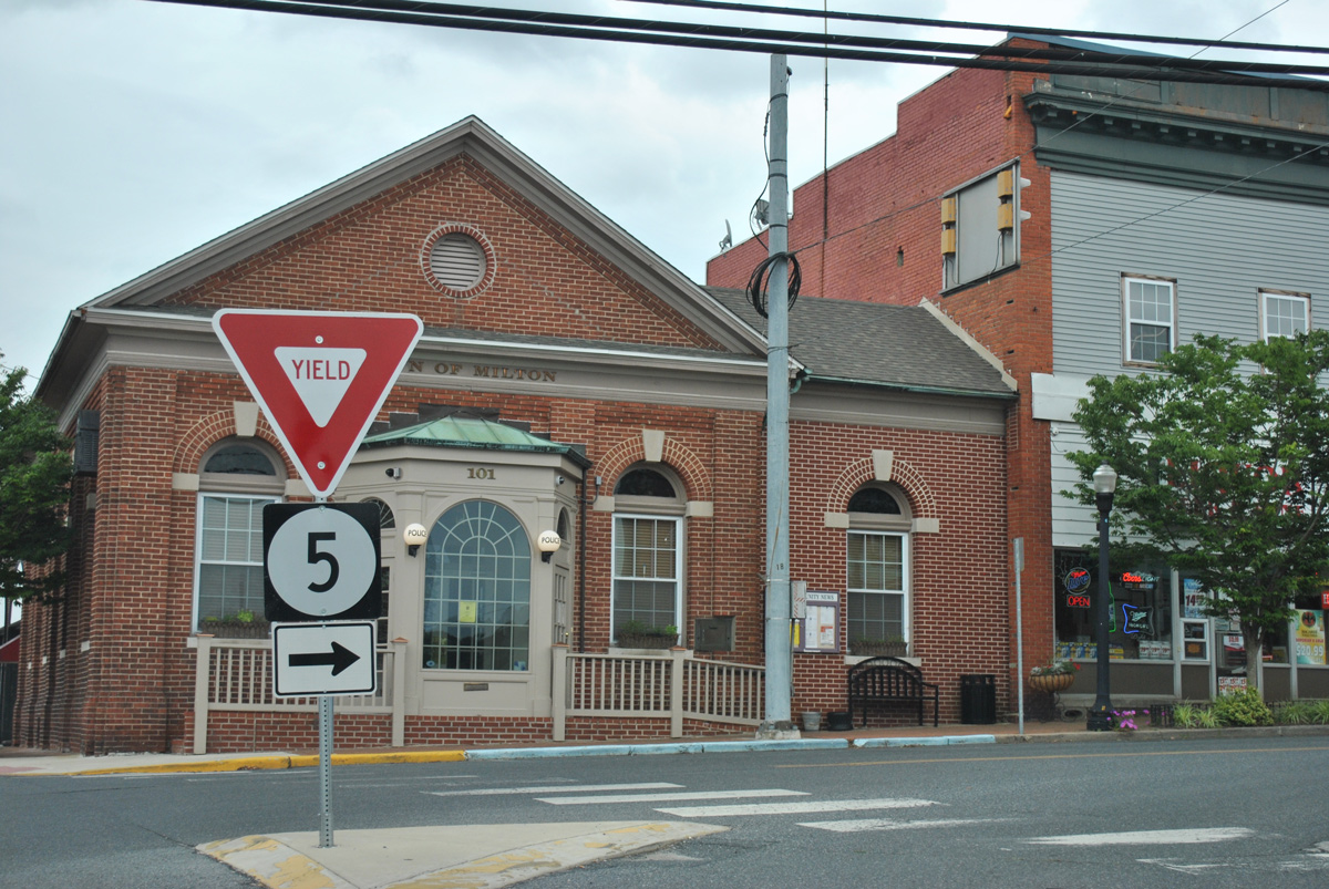
Federal Street takes SR 5 south from Union Street and Downtown Milton.
12/27/25

Federal Street south at Mill Street in Milton.
12/27/25

Mulberry Street (Rd 197) crosses the Broadkill River south along Wagamons Pond before intersecting SR 5 (Federal Street) across from Wharton Street.
12/27/25

SR 5 (Harbeson Road) leaves the town of Milton ahead of SR 5 ALT (Sand Hill Road).
12/27/25
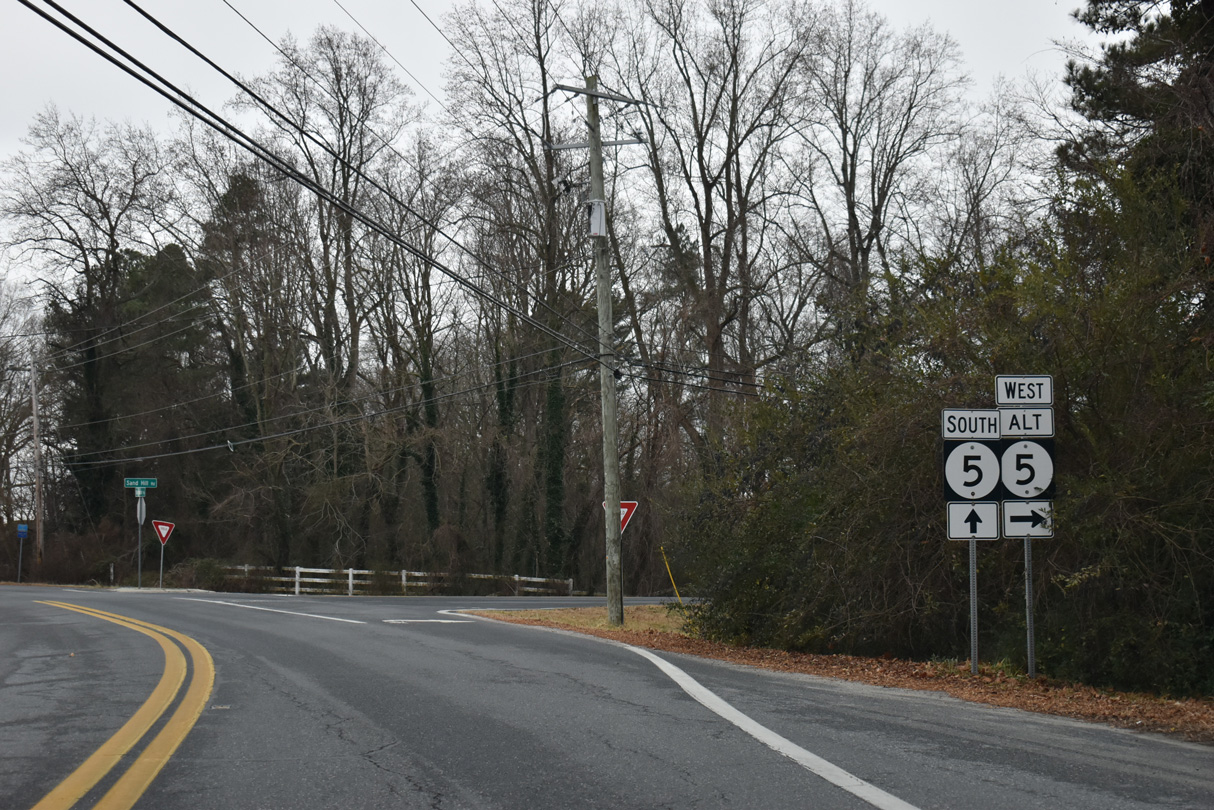
SR 5 ALT (Sand Hill Road) leads 1.34 miles west to SR 30 (Gravel Hill Road), where the truck bypass of Milton turns north to SR 16.
12/27/25

Confirming marker for SR 5 (Harbeson Road) posted south of SR 5 ALT (Sand Hill Road).
12/27/25

Curving southeast Harbeson Road meets Shingle Point Road (Rd 249) south and Chestnut Street north at a four way stop sign. The Cannery Village and Heritage Creek subdivisions line the east side of SR 5 on the ensuing stretch.
12/27/25
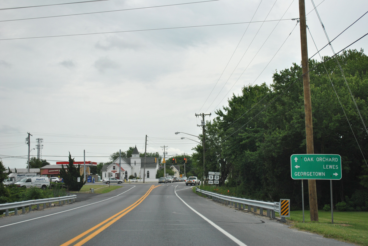
Heading south from Milton, SR 5 follows Harbeson Road to U.S. 9/SR 404. U.S. 9 travels nearly 31 miles across Sussex County, from U.S. 13 at Laurel to the Cape May-Lewes Ferry across Delaware Bay.
06/18/12
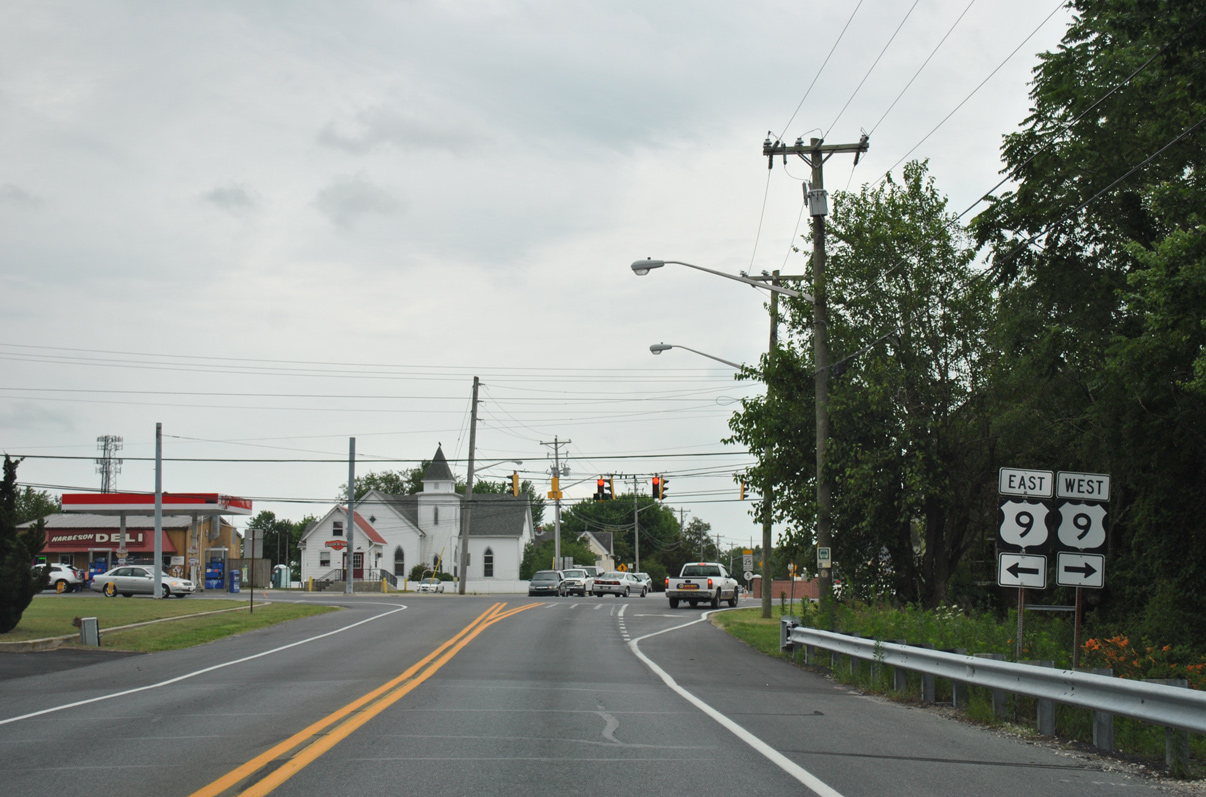
Although not displayed here, SR 404 overlaps with U.S. 9 east to SR 1 at Five Points and west to SR 18 in Georgetown.
06/18/12
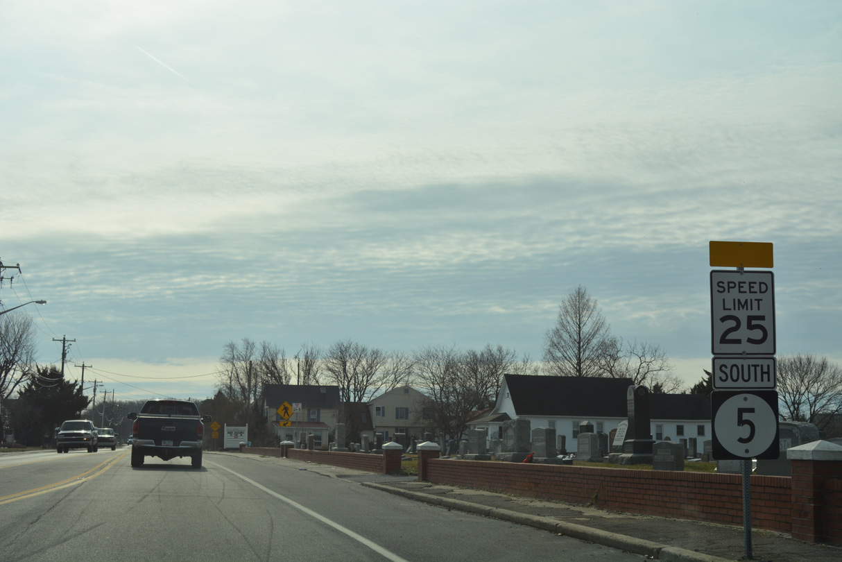
Speed limits reduce to 25 miles per hour along SR 5 through Harbeson. A poultry plant is located on the west side of the state route in a quarter mile.
01/16/17
South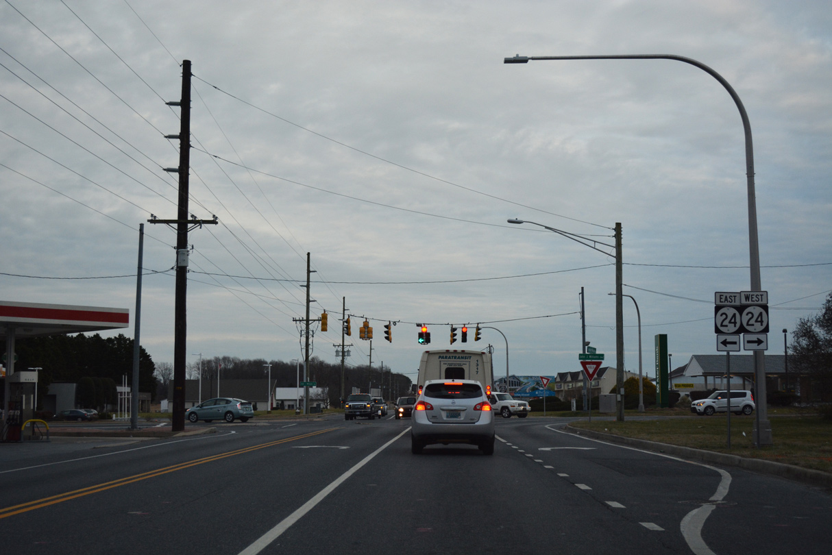
Indian Mission Road south enters the commercialized intersection with SR 24 (John J. Williams Highway). Omitted from this assembly is the southern turn of SR 5 alongside SR 24 for the 1.6 mile overlap to Oak Orchard Road.
01/16/17
South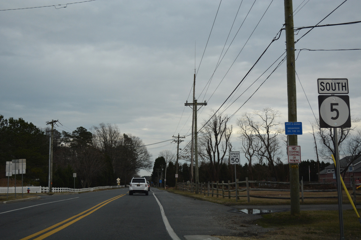
The final reassurance marker for SR 5 stands just south of SR 24 (John J. Williams Highway).
01/16/17
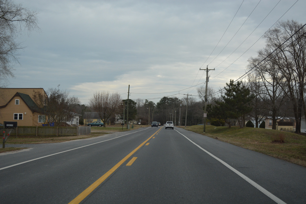
SR 5 (Oak Orchard Road) passes between Driftwood Village and the Crossings at Oak Orchard manufactured home communities midway to Oak Orchard.
01/16/17
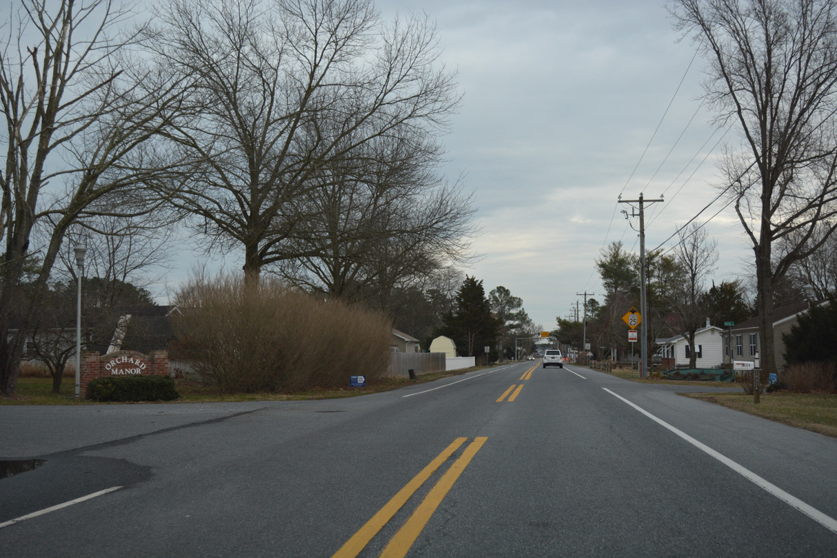
Speed limits reduce to 25 miles per hour as SR 5 reaches Oak Orchard.
01/16/17
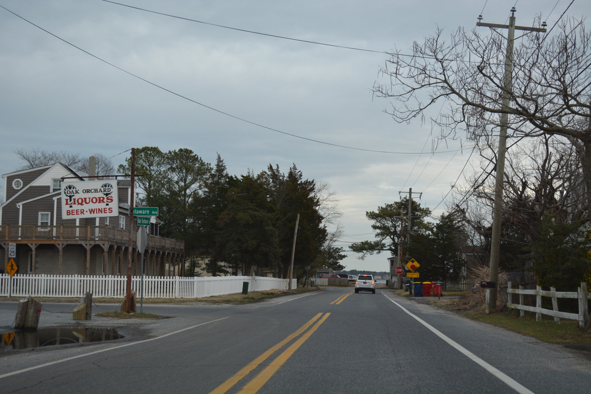
Delaware Avenue stems northeast into the Orchard Manor community as SR 5 ends.
01/16/17
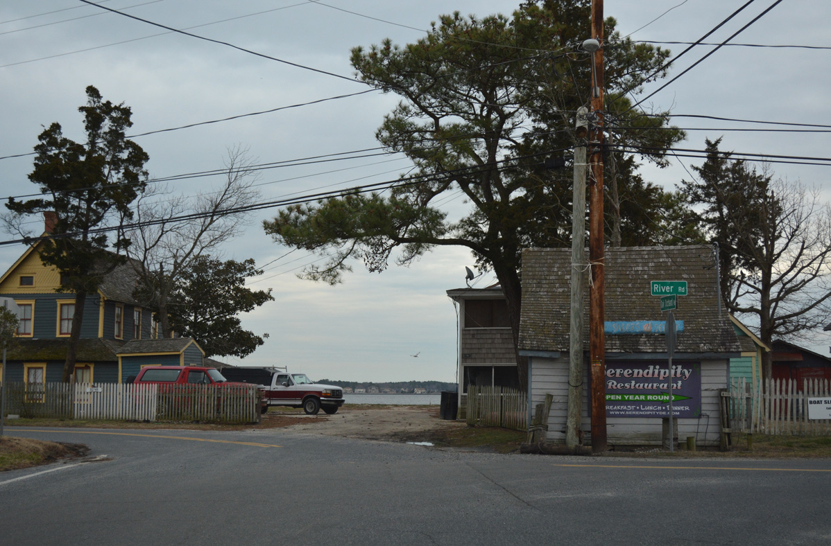
Indian River Bay comes into view as SR 5 concludes at River Road. River Road straddles the Indian River west to Riverdale and the Warwick Park neighborhood.
01/16/17
References:
Baughn, J. (n.d.). Red Bridge. Bridgehunter.com. http://bridgehunter.com/de/sussex/broadkill-river/
Photo Credits:
- Alex Nitzman: 06/18/12, 01/16/17, 12/27/25
Connect with:


Page Updated Friday January 09, 2026.