
State Route 6

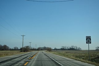
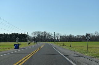
SR 6 (Millington Road) extends east from MD 291 through Blackiston State Wildlife Management Area through agricultural areas to Blackiston. Suburban development increases along Millington Road, as SR 6 approaches Clayton, where it joins Main Street through the town center. A 1.10 mile overlap with SR 300 takes the route northward into Smyrna along Glenwood Avenue to U.S. 13 (Dupont Boulevard).
Delaware State Route 6 Guides
Turning south alongside U.S. 13 for 0.29 miles, SR 6 resumes an eastern heading along Commerce Street. Commerce Street crosses over SR 1 (Korean War Veterans Memorial Highway) and becomes Woodland Beach Road east of the Smyrna town line. Traversing farm land to SR 9 (Hay Point Landing Road), the eastern extent of SR 6 travels just above sea level along a causeway leading northeast from Serverson Neck to Woodland Beach.

1970s map of SR 6 and SR 300 through Clayton and Smyrna.
SR 6 was designated by 1936 between Kent County, Maryland and Woodland Beach. The alignment in Smyrna was changed by 1996 to relocate SR 6 away from Commerce Street through Downtown. This resulted in the dog leg alongside both U.S. 13 (Dupont Boulevard) and SR 300 (Glenwood venue) west to Smyrna Clayton Boulevard.
Delaware State Route 6 - 2015 Annual Average Daily Traffic (AADT)
- 1,813 - Maryland line to Sewell Branch Road
- 2,044 - SR 42 to west Clayton limits
- 3,491 - Duck Creek Road to Clayton Avenue
- 6,156 - Clayton Avenue to east Clayton limits
- 15,297 - Main Street to U.S. 13 (Dupont Boulevard)
- 5,435 - U.S. 13 (Dupont Boulevard) to east Smyrna limits
- 1,299 - Road 64 to Lighthouse Road
- 539 - Lighthouse Road to Delaware Avenue
 scenes
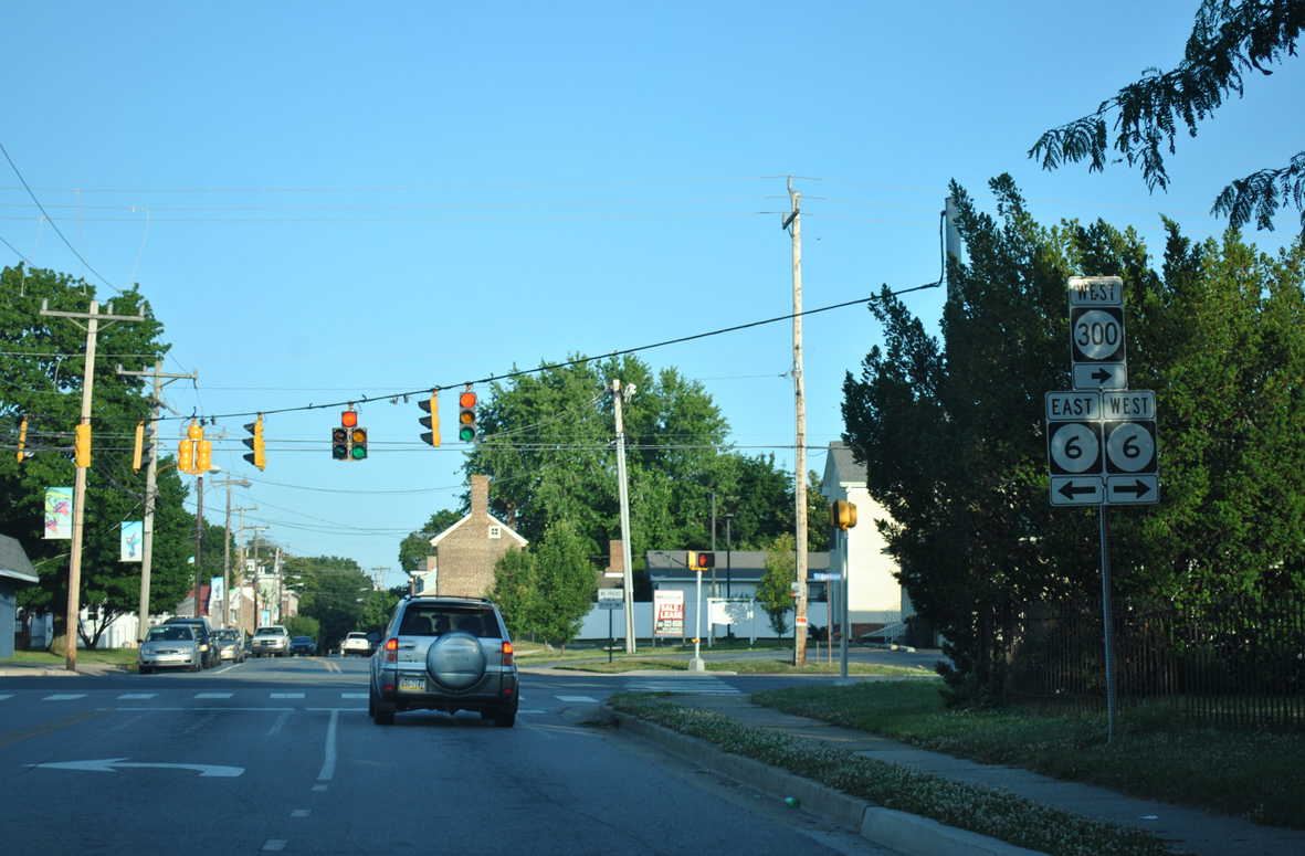
Duck Creek Road crosses into Kent County to become Main Street South ahead of SR 6/300 (Glenwood Avenue) and Downtown Smyrna.
06/17/12
Photo Credits:
- Alex Nitzman: 06/17/12
Connect with:
Page Updated Monday January 02, 2023.