
State Route 9

SR 9 straddles coastal areas of Delaware Bay northward from Dover Air Force Base and Little Creek to Taylors Bridge in New Castle County. The state route meanders northeast to eventually run alongside the Delaware River through Port Penn. Spanning the Chesapeake and Delaware Canal across the Reedy Point Bridge into Delaware City, SR 9 transitions to a suburban route south of New Castle, and an urban arterial north from the historic town to the city of Wilmington.
Delaware State Route 9 Guides
North
South

SR 9 History
The 1936-37 Official Delaware Highway map outlines a much shorter alignment for SR 9. The route followed Bayside Dive north from U.S. 113 (Bay Road) to Little Creek and Leipsic. Smyrna Leipsic Route then turned SR 9 west to end at U.S. 13 (Dupont Boulevard) in Smyrna.
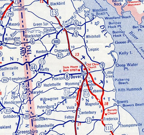
SR 9 traveled 17.5 miles from Dover to Smyrna in 1956.
4th Street west from U.S. 13 Alternate was unnumbered until the 1970 extension of SR 9
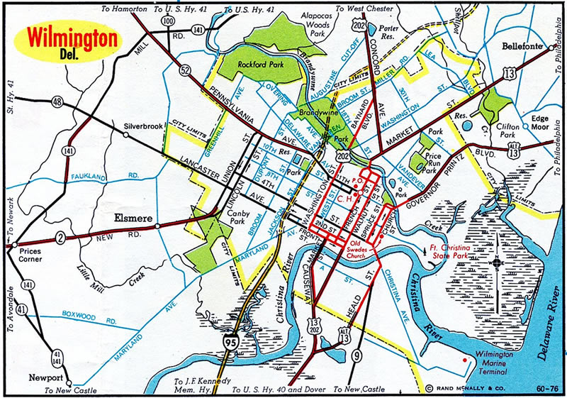
The extension of SR 9 north to Wilmington appeared on the 1959-60 Official Delaware Highway Map. Reedy Point Bridge, a high level, continuous steel thru truss bridge across the Chesapeake and Delaware Canal, opened to traffic at Delaware City in 1968. Through the city of New Castle, SR 9 followed 7th Street, South Street and 9th Street just outside the historic district. It followed New Castle Avenue north to end at U.S. 13 Alternate (Heald Street), one block north of A Street.
An array of numbering changes were made in the city of Wilmington in 1970. U.S. 13 shifted east over what was U.S. 13 Alternate, while the former alignment was reassigned as U.S. 13 Business. This coincided with the addition of SR 9 west along 4th Street, from an overlap with U.S. 13 across the Christina River, to SR 2 (Lincoln and Union Streets). SR 9A was also designated at this time along Christina Avenue through Southbridge.
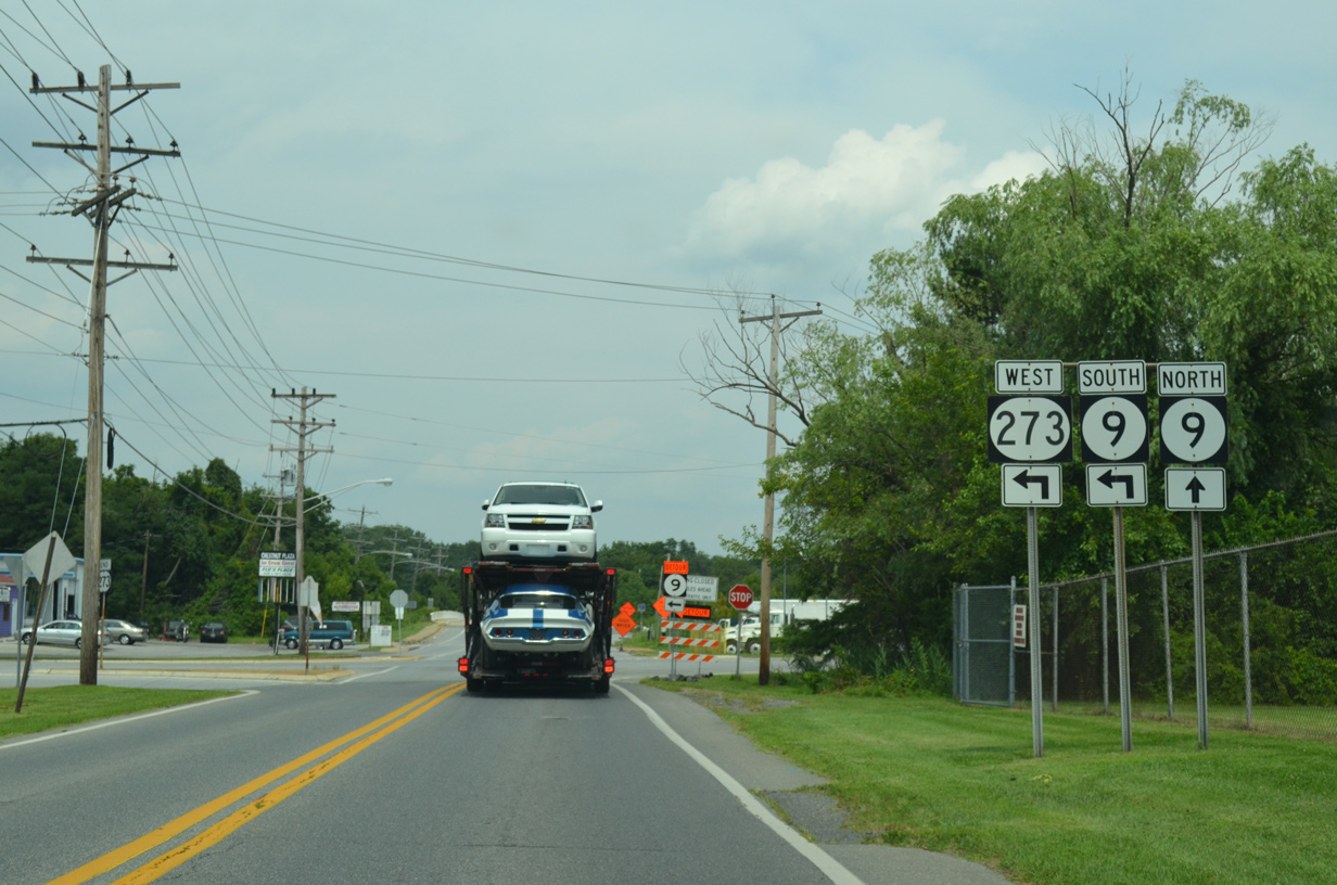
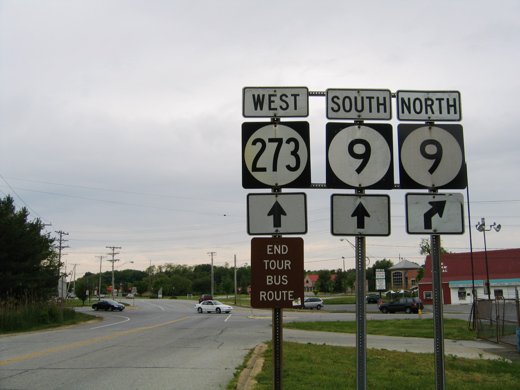
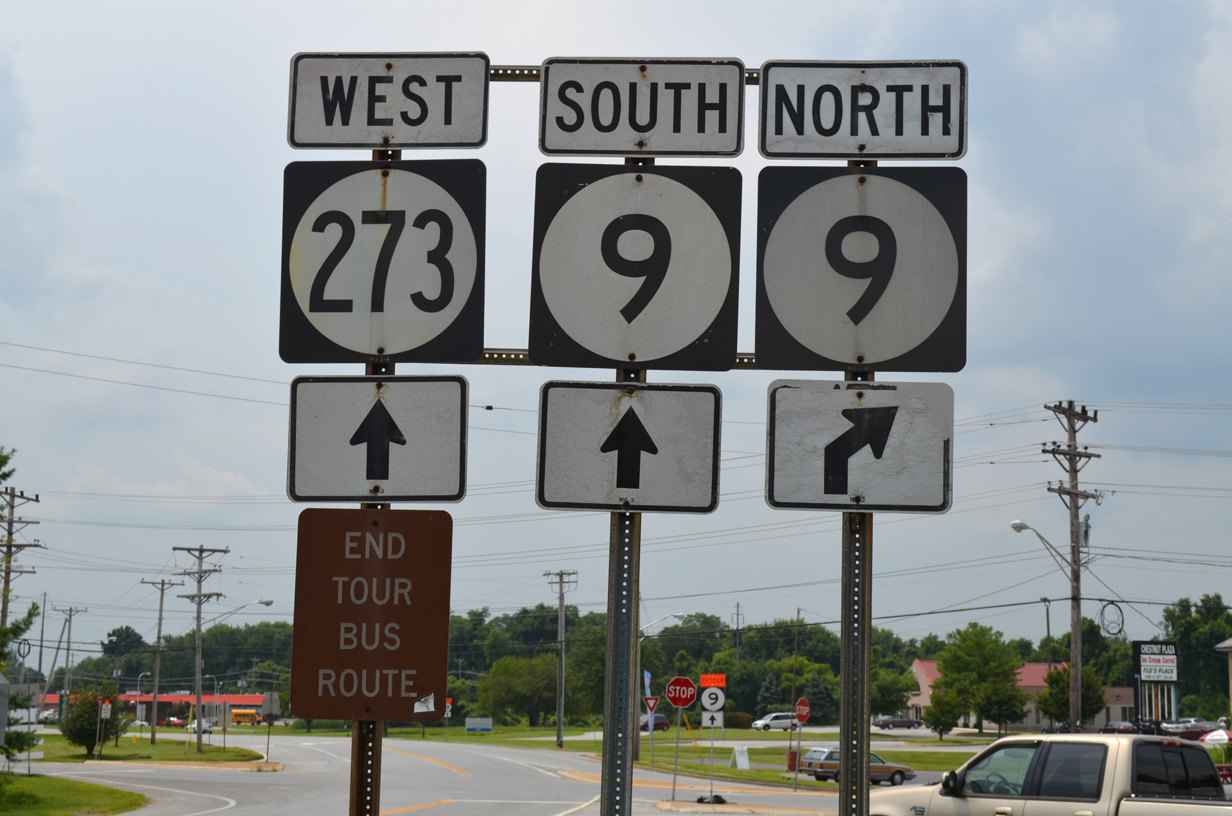
One final change to the alignment of SR 9 occurred by 1987. Through New Castle, SR 9 was rerouted onto Washington Street northwest to SR 141 (Basin Road), and east alongside SR 273 on Delaware and Chestnut Streets back to 6th Street. The new route was made to divert truck traffic. The SR 273 overlap remained in place until 2012, when a new end shield for the multi state route was posted at Basin Road. The previous end assembly however was still posted in 2017.
SR 9 Guide
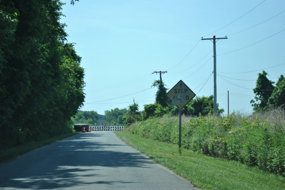
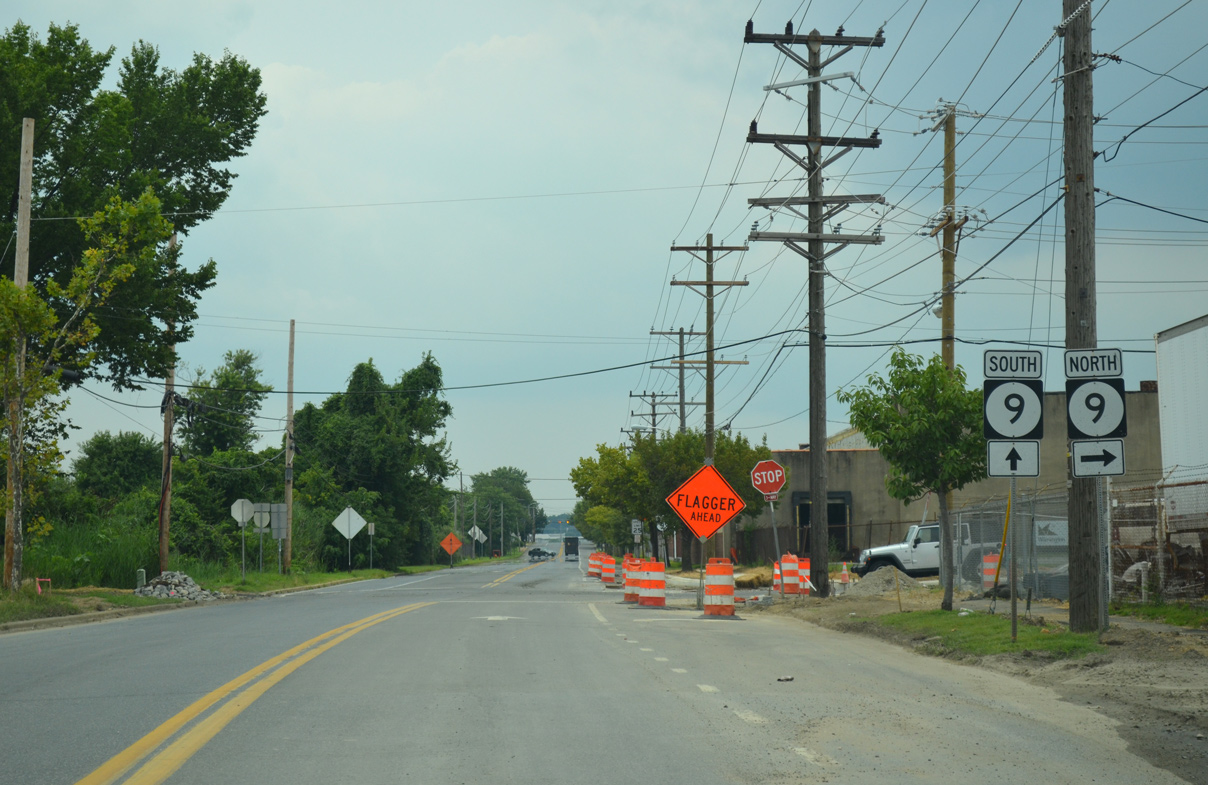
SR 9 begins at a diamond interchange with SR 1 (former U.S. 113) along the Dover city line south of Dover A.F.B. The state route encircles eastern reaches of the military base to Little Creek. SR 8 (North Little Creek Road) ties into SR 9 (Main Street) at the north end of town, as Bayside Drive resumes through agricultural areas. The state route advances 6.4 miles north to SR 42 in the small town of Leipsic.
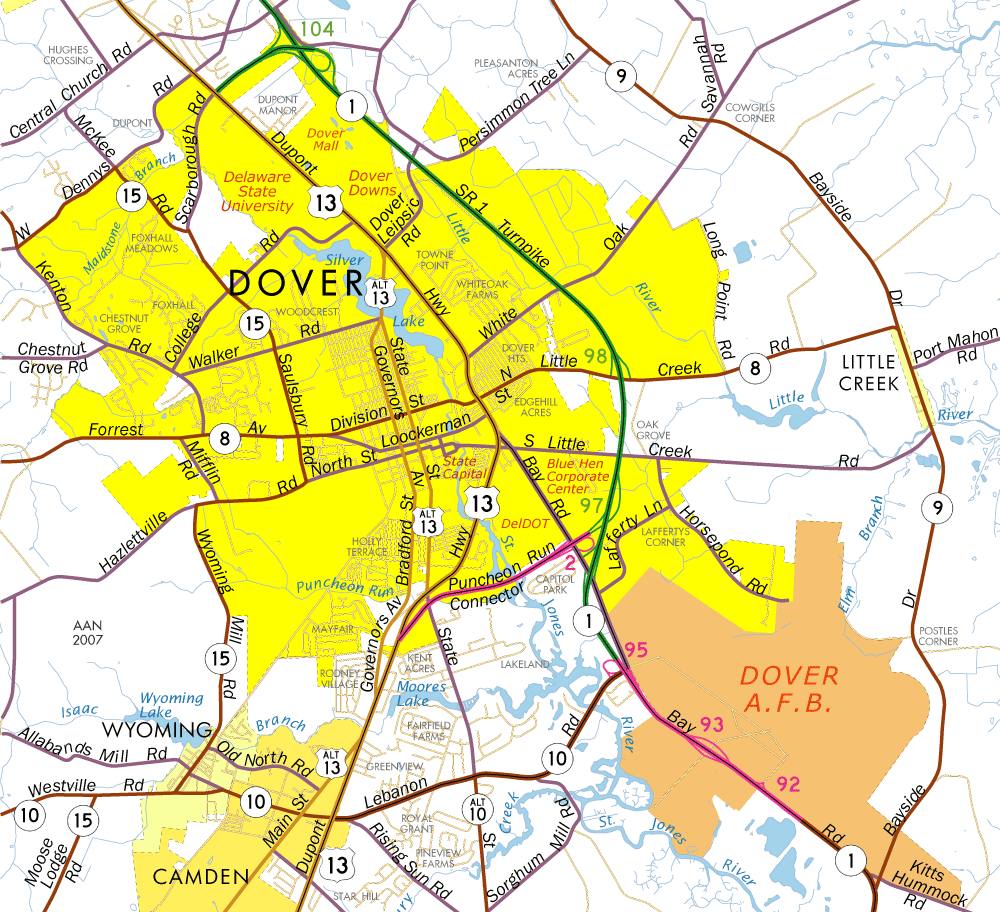
SR 9 bypasses Dover to the east by Little Creek State Wildlife Area and through the town of Little Creek.
Crossing the Leipsic River, SR 9 follows Smyrna Leipsic Road to Hay Point Landing Road near Whitehall Crossroads. Smyrna Leipsic Road veers northwest as the former alignment of SR 9 to Smyrna while Hay Point Landing Road stems north to SR 6 (Woodland Beach Road) and Serverson Neck. SR 9 spans the Smyrna River at Flemings Landing into southeastern New Castle County.
Flemings Landing Road takes SR 9 north across Thoroughfare Neck and to the west of Cedar Swamp Wildlife Management Area to the settlement of Taylors Bridge. Taylors Bridge Road curves SR 9 west across Blackbird Creek and north to Stumps Corner. The Odessa National golf course community spreads west of the state route along Fieldsboro Road, while Odessa Chase and Cantwell Ridge were built to the east of the SR 9 intersection with SR 299 at Mathews Corners.
Thomas Landing Road angles SR 9 northeast to Thomas Corner Road and two additional subdivisions. The state route becomes rural again northeast along Silver Run Road to cross the Appoquinimink River to Augustine Wildlife Area. Progressing north, SR 9 makes several turns to reach Augustine Beach and Port Penn off the Delaware River.
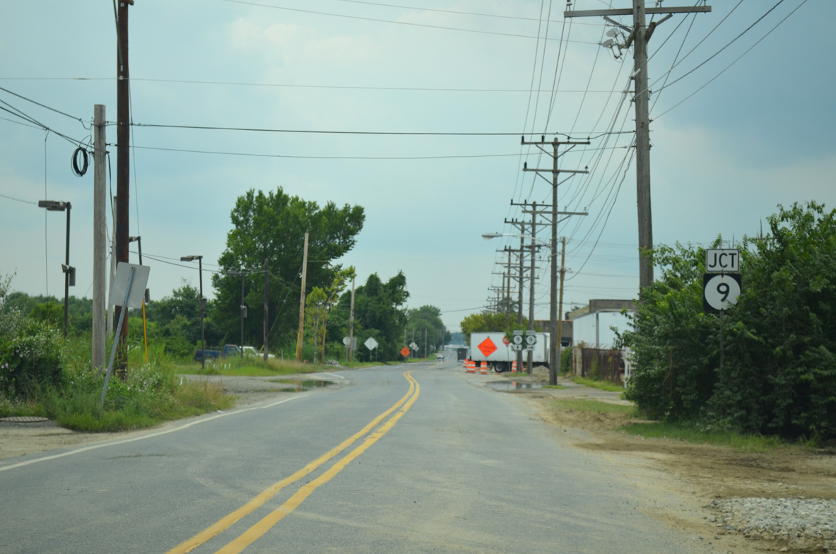
SR 9 dog legs through Port Penn and advances north along Augustine Wildlife Area to the Reedy Point Bridge over the C & D Canal and Fort Dupont State Park. Lowering onto 5th Street at a roundabout, SR 9 passes through Downtown Delaware City and curves west to meet SR 72 at River Road. River Road leads the state route north through the Delaware City Refinery complex to wetland areas surrounding Red Lion Creek.
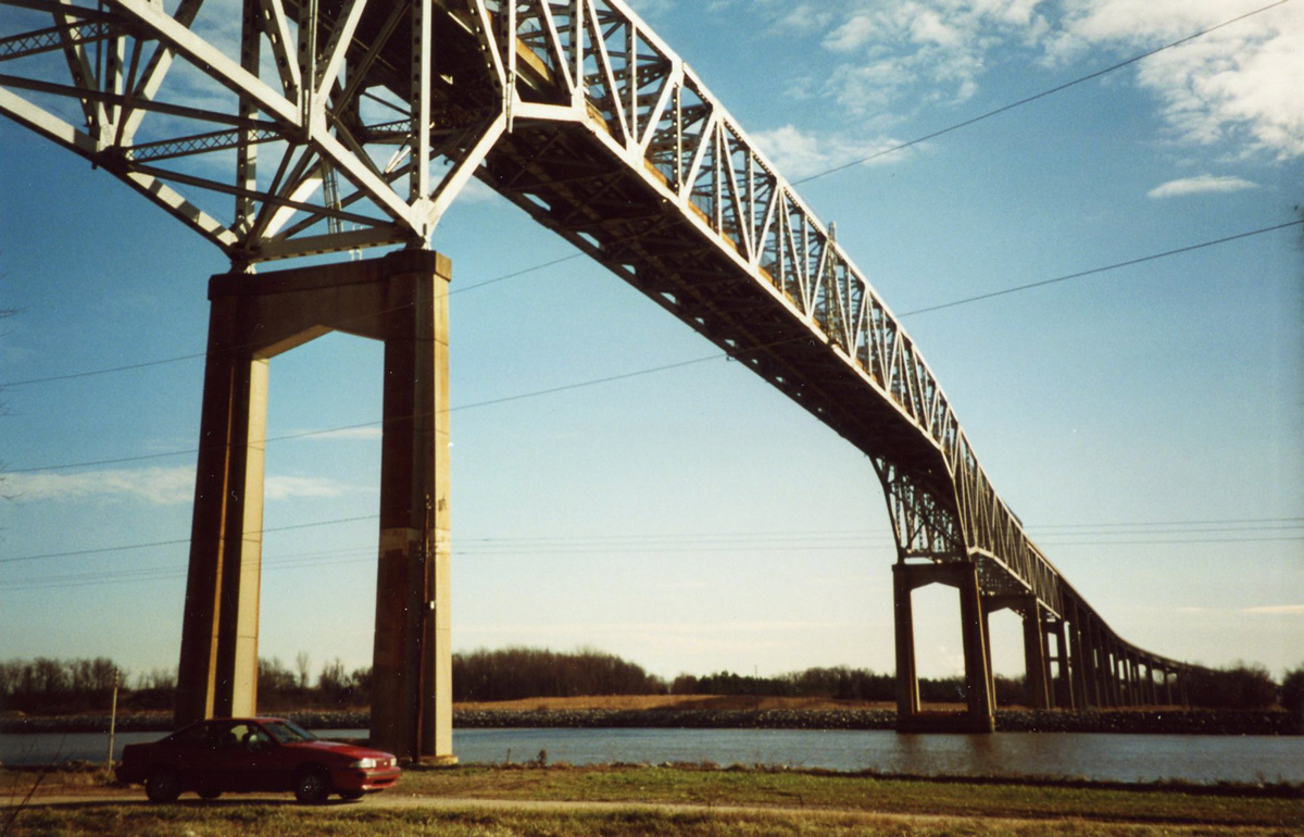
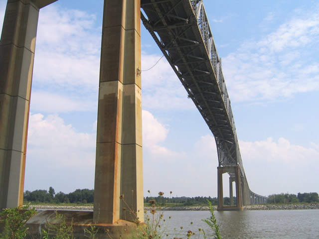
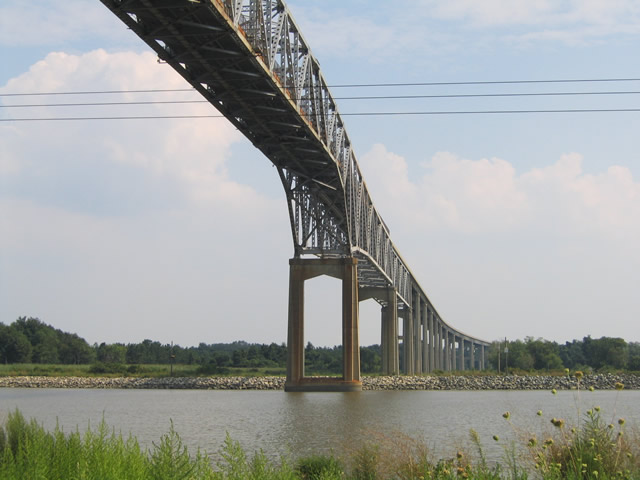
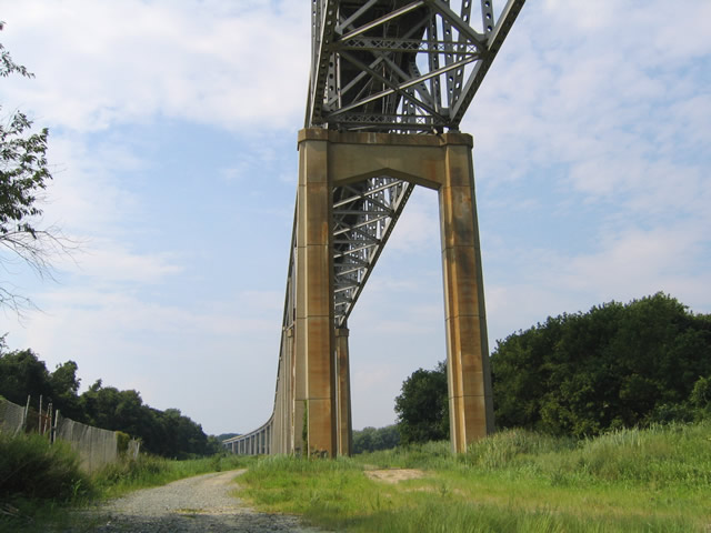
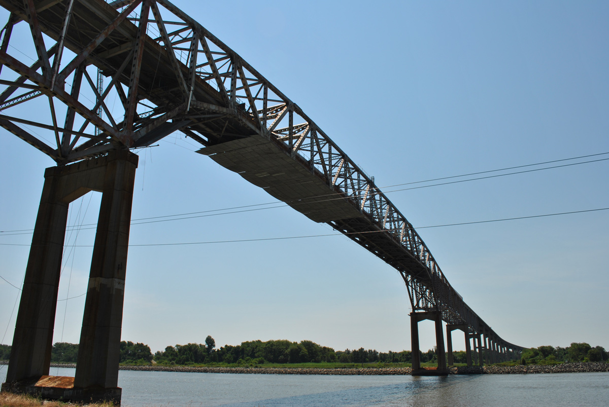
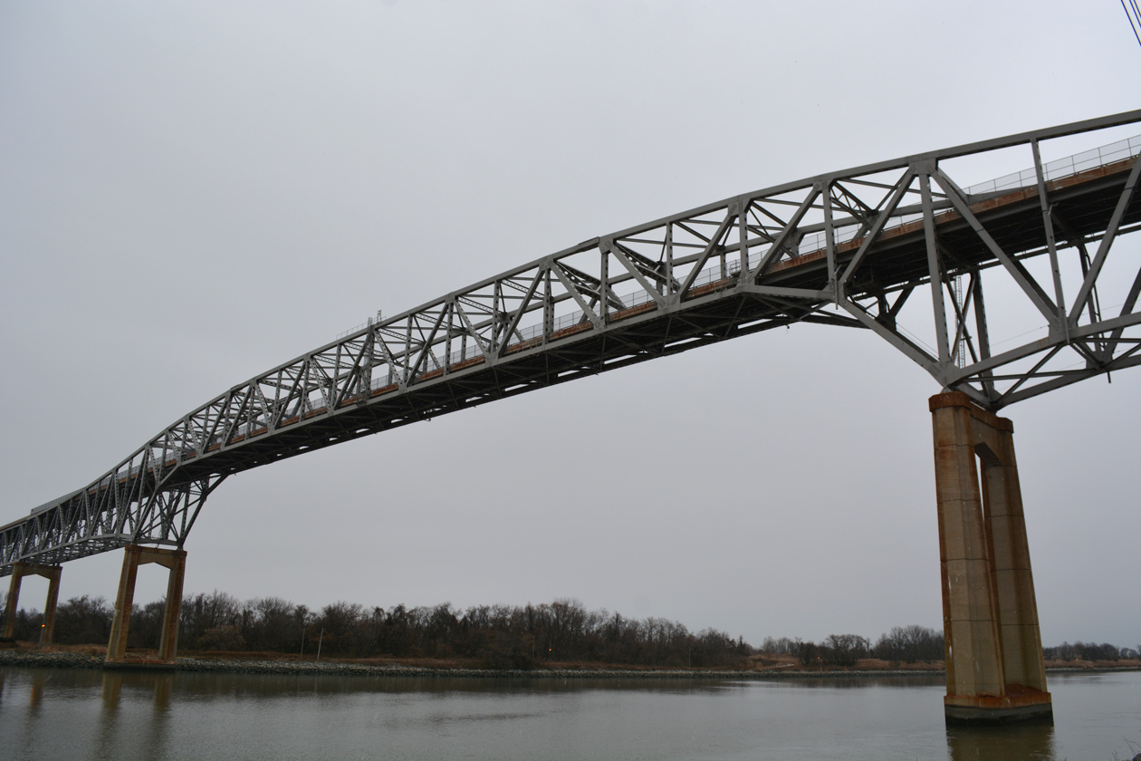
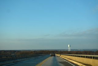
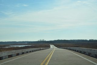
The Reedy Point Bridge is the easternmost crossing of the Chesapeake & Delaware Canal. The two-lane cantilever span carries SR 9 north from Port Penn and Augustine Wildlife Area to Fifth Street through Delaware City. Fort DuPont and McConnell Tract Parks spread west and east of the northern bridge approach. Opened in 1968, the Reedy Point Bridge and the Summit Bridge were completed as part of the 1954 improvement authorization for the C & D Canal (U.S. Army Corp of Engineers, n.d.).
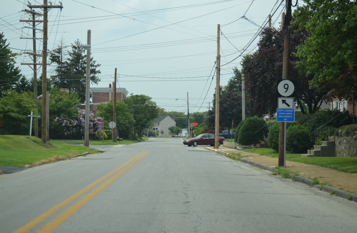
River Road mirrors the course of the Delaware River northeast by Bayview Manor, Llangollen Estates and several other subdivisions. An industrial area precedes a low lying stretch across Army Creek, which brings SR 9 onto 7th Street into the city of New Castle. Washington Street angles SR 9 northwest to the joint termini of SR 141 (Basin Road) and SR 273 (Frenchtown Road). Delaware Street turns SR 9 east back to its former alignment on 6th Street.
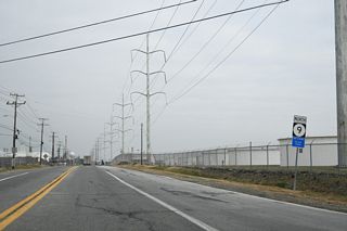
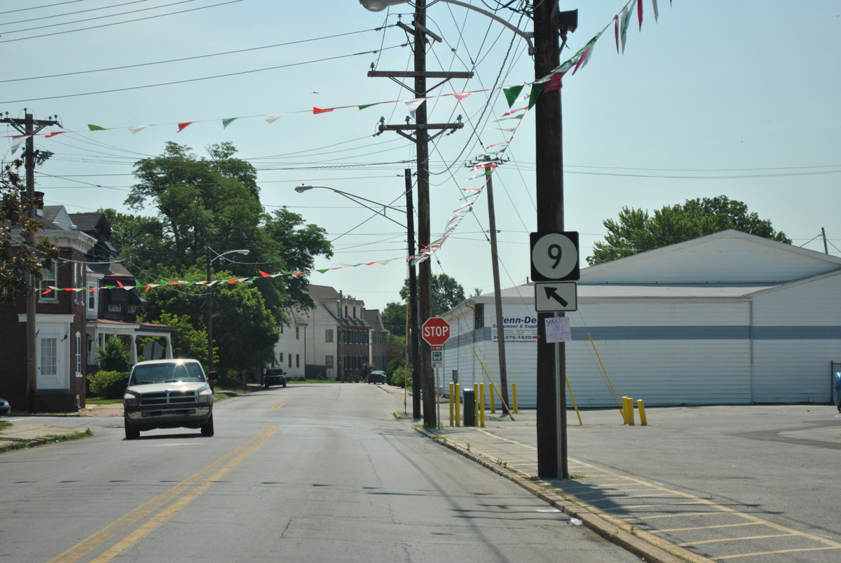
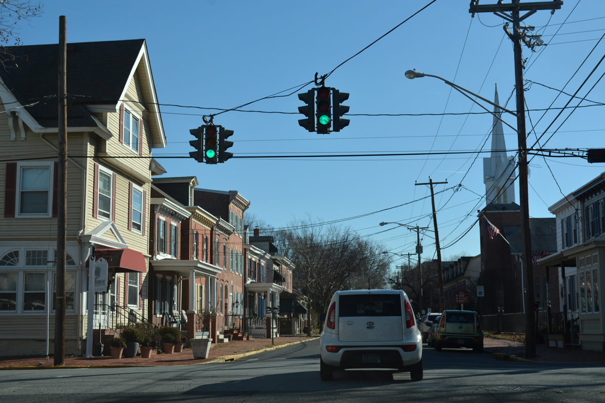
SR 9 expands into an older four-lane arterial along Wilmington Road through north New Castle. Beyond the city line, Delaware follows New Castle Avenue and continues north to I-295/U.S. 40 at the Delaware Memorial Bridge, and SR 9A (Terminal Avenue) by the Port of Wilmington. The state route enters Wilmington at the Southbridge community, where it separates into a one-way couplet with U.S. 13 on New Castle Avenue north and Heald Street south.
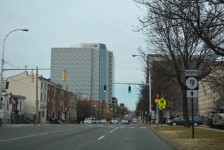
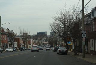
The one-way couplet of U.S. 13/SR 9 combines north of Lobdell Street and ahead of SR 9A (Christina Avenue) and the Heald Street Bridge across the Christina River. SR 9 (4th Street) splits with U.S. 13 at the East Side neighborhood and continues west by Downtown to the Hilltop and Flats communities.
Delaware State Route 9 - 2015 Annual Average Daily Traffic (AADT)
- 3,473 - Bay Road to Little Creek
- 1,984 - SR 8 to White Oak Road
- 2,412 - White Oak Road to Leipsic Road
- 760 - Hay Point Landing Road to SR 6
- 423 - SR 6 to New Castle County line
- 2,349 - SR 299 to Thomas Corner Road
- 654 - Silver Run Road (Road 439) to Belts Road
- 1,076 - Road 422 to south Delaware City limits
- 4,653 - north Delaware City limits to SR 72
- 7,932 - Bear Tybouts Road to Grantham Lane
- 11,349 - south New Castle limits to Washington Street
- 15,754 - SR 141 to Chestnut Street
- 20,372 - 6th Street to New Castle Avenue
- 17,312 - Landers Lane to I-295
- 11,751 - I-295 to Memorial Drive
- 20,036 - New Castle Avenue to SR 9A
- 10,620 - U.S. 13 (Spruce Street) south to U.S. 13 Business (Walnut Street) north
- 7,829 - U.S. 13 Business (Walnut Street) north to SR 2
The Wilmington Area Planning Council (WILMAPCO) endorsed the Route 9 Corridor Master Plan in May 2017. The plan outlines road diets along two sections of SR 9, reconfiguring the interchange with Interstate 295 and several other intersections, and adding roundabouts at SR 9A (Terminal Avenue), Cherry Lane and Memorial Drive.
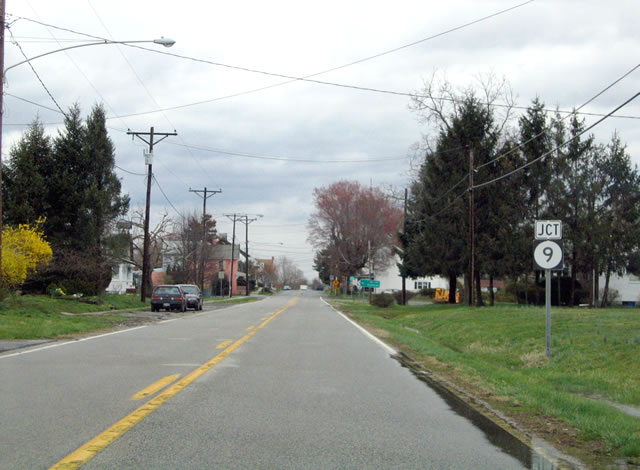
Port Penn Road is one of two roads leading east from U.S. 13 (Dupont Parkway) toward Port Penn. Combining with Pole Bridge Road ahead of Thorntown, Port Penn Road becomes Market Street through the riverside community to SR 9.
04/04/04
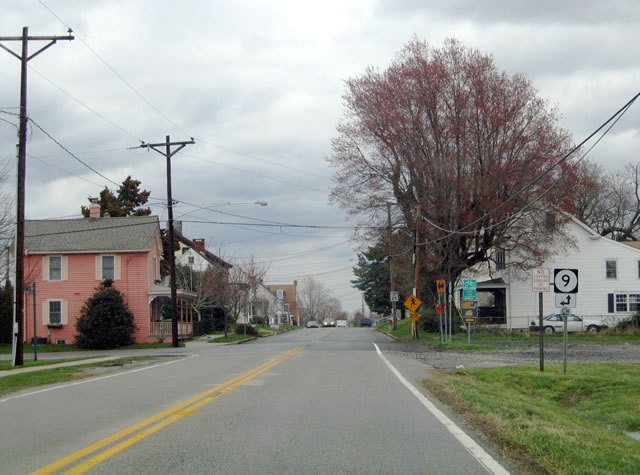
SR 9 enters Port Penn from the Reedy Point Bridge to the north. The state route follows Liberty Street south and Market Street east for two blocks to Congress Street through the unincorporated town.
04/04/04
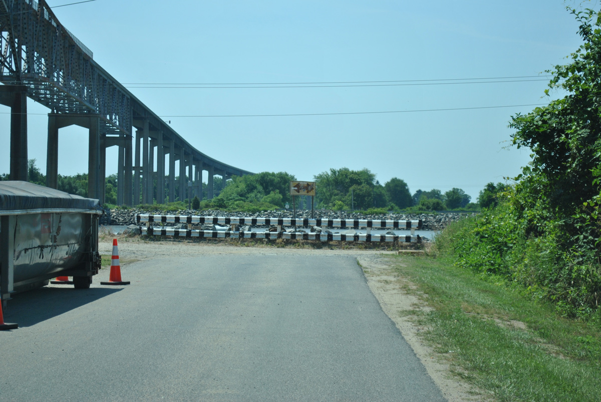
North Reedy Point Road spurs south from SR 9 in Delaware City to Fort Dupont State Park and North Canal Road along the C & D Canal. The local road once connected to a lift bridge across the waterway. The adjacent span opened in 1968.
06/10/12

Originating at U.S. 13 near St. Georges 3.44 miles to the west, Cox Neck Road (Rd 411) east becomes Clinton Street ahead of SR 9 (5th Street) in Delaware City.
12/25/25

The lone traffic light in Delaware City is located at Clinton Street and SR 9 (Fifth Street).
12/25/25

The Eagle traffic signals at 5th and Clinton Streets were replaced after 2005.
12/10/99
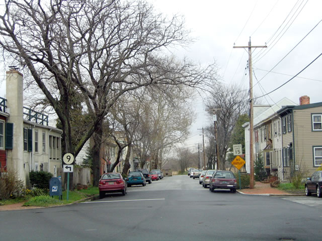
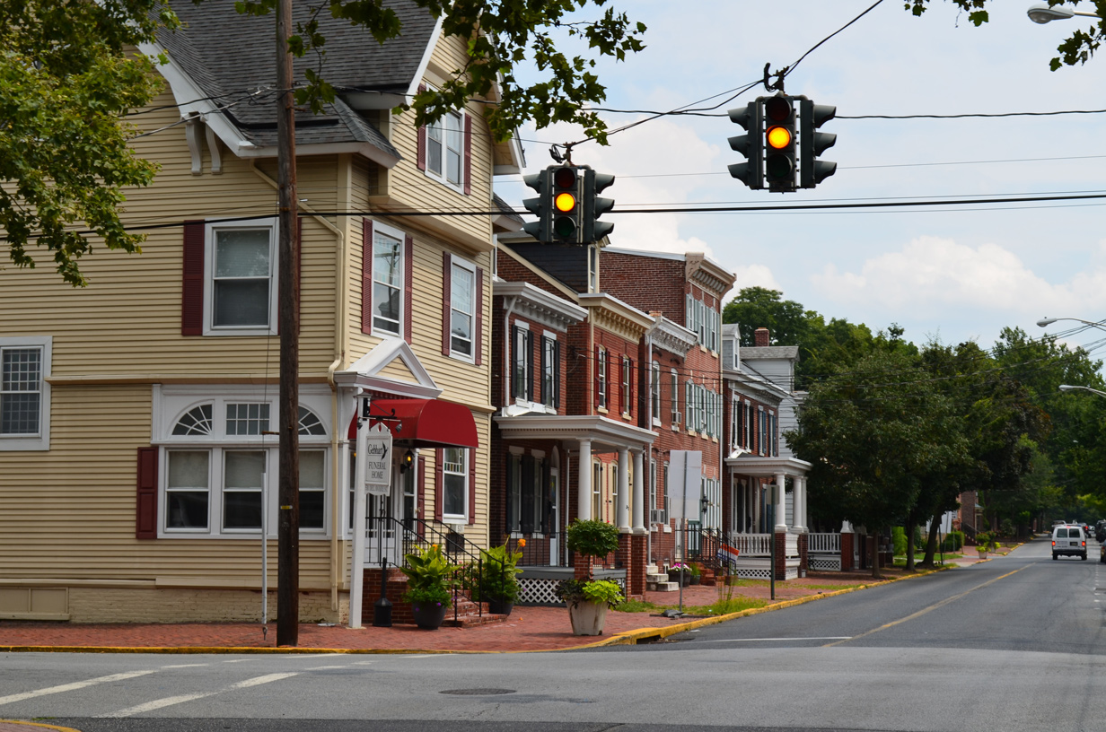
South Street connected SR 9 north from 7th to 6th Streets through the city of New Castle until 1987. A trailblazer was posted for SR 9 on South Street east by 2007. It was removed with the addition of a new sidewalk after 2012.
06/10/12
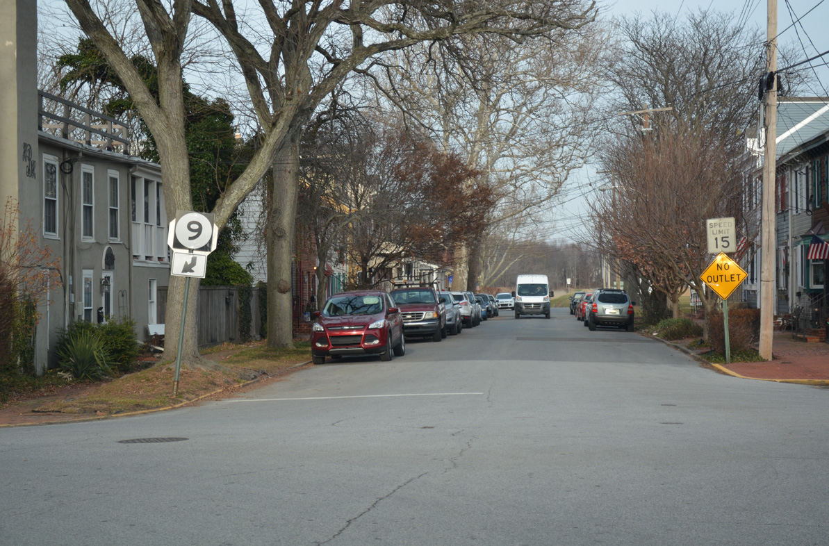
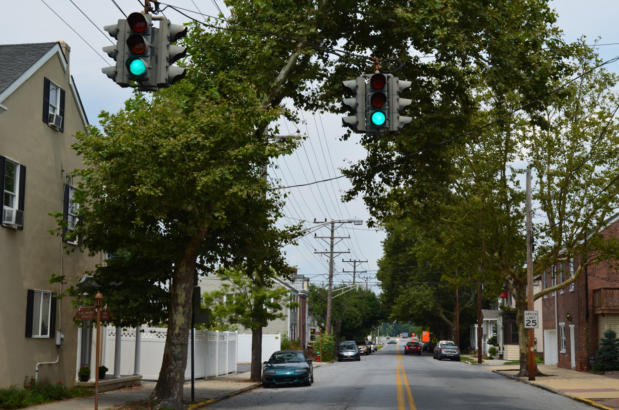
A trailblazer remains along South Street north at the former turn of SR 9 from West 6th to West 7th Streets.
07/31/13
West 7th Street approaches Washington Street, where SR 9 turns westward to exit the city of New Castle.
07/31/13
West 7th Street (old SR 9) becomes a part of SR 9 beyond Washington Street. The Garrison Apartments were constructed on the vacant land to the south here in 2017-18.
07/31/13
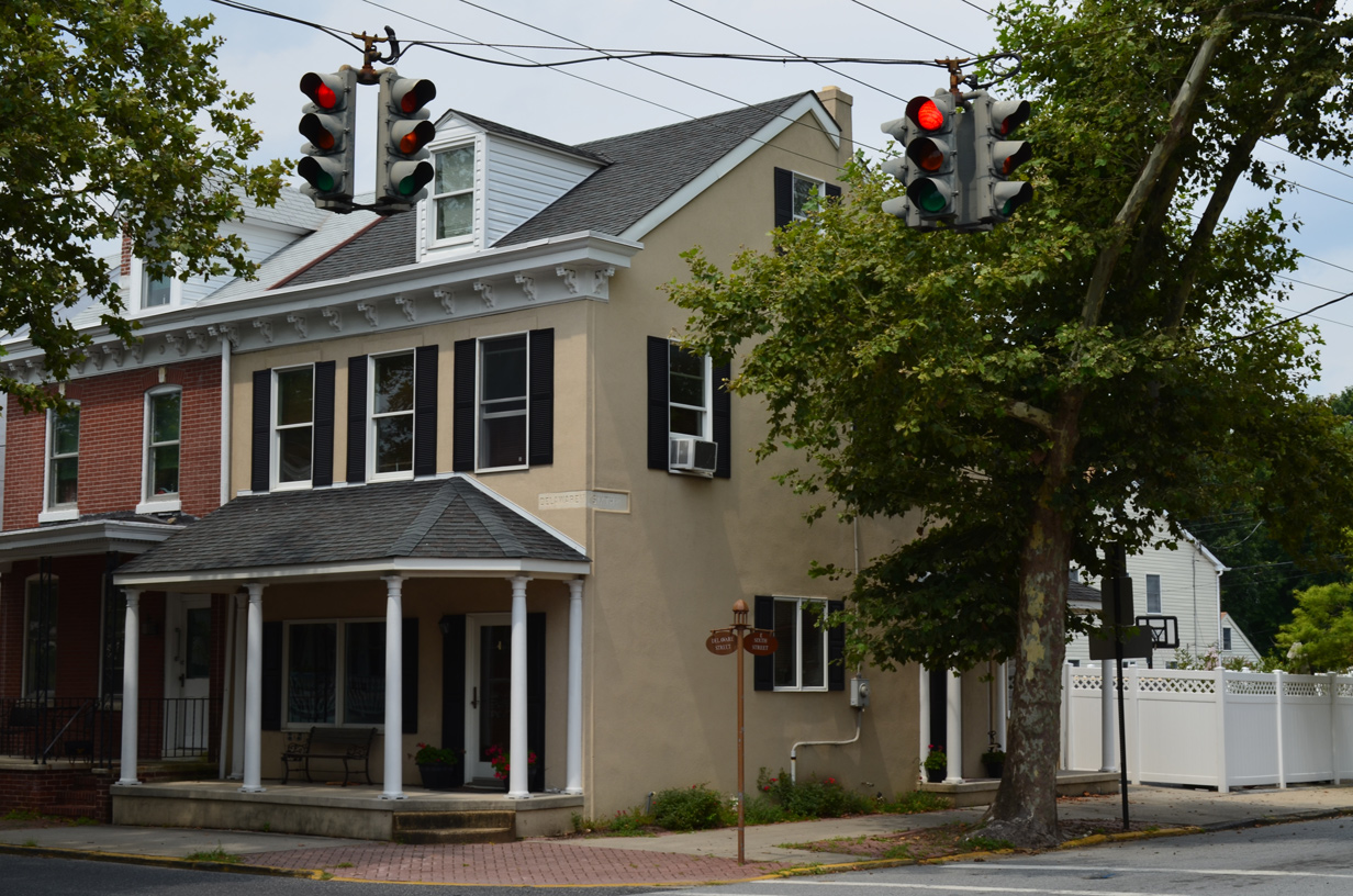
30 inch Eagle traffic lights operate at 6th and Delaware Streets in New Castle. 6th Street was previously the alignment of SR 9.
12/20/16
07/31/13
6th Street (old SR 9) north at Delaware Street in New Castle.
06/10/12
07/31/13
Delaware Street turns west to become a part of SR 9 a block and a half north of 6th Street.
08/03/13
SR 9 trailblazer posted at 2nd and Chestnut Streets in New Castle. The Delaware River ferry landing for U.S. 40 was located nearby in adjacent Bull Hill Park.
04/04/04
Replacement SR 9 shield at 2nd and Chestnut Streets in New Castle. Chestnut Street arcs west from Bull Hill Park to become a part of the SR 9 bypass around the city.
12/23/16
Trailblazers for SR 9 and 273 at the intersection of East 6th Street (old SR 9) and Chestnut Street in New Castle.
07/31/13
Chestnut Street north at 6th Street and the former east end of SR 273. SR 9 shifts from 6th Street onto Chestnut Street to bypass New Castle at this intersection.
05/15/05
07/31/13
Moores Lane converges with SR 9 (Wilmington Road) south from Boulden Interchange Park in the city of New Castle.
12/23/16

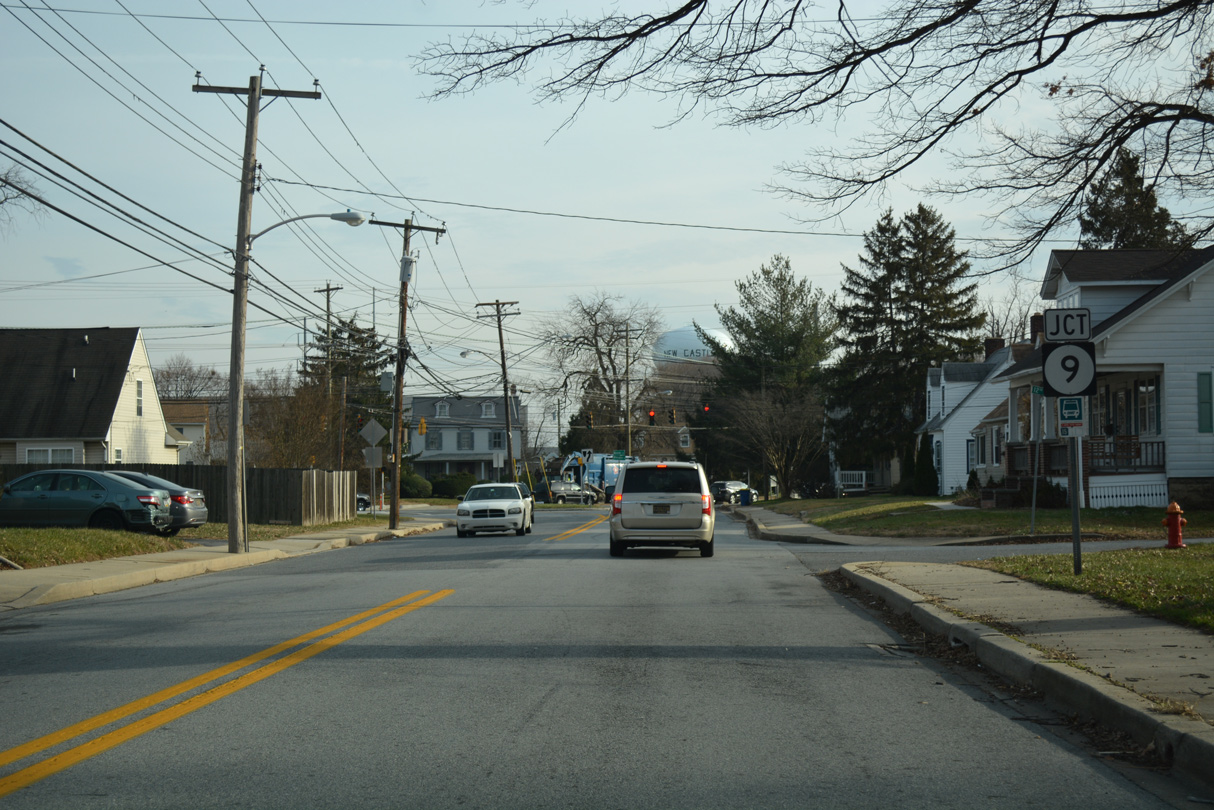
Rogers Road (Rd 369) connects U.S. 13 (S Heald Street) and U.S. 13 Business (S Market Street) south of Wilmington with SR 9 (New Castle Avenue), 0.73 miles to the south.
12/24/25
References:
U.S. Army Corp of Engineers. (n.d.). The Chesapeake & Delaware Canal. Retried from http://www.nap.usace.army.mil/sb/c&d.htm
Photo Credits:
- Alex Nitzman: 12/10/99, 04/04/04, 06/10/12, 07/31/13, 12/20/16, 12/23/16, 12/24/25, 12/25/25
- AARoads: 06/10/12
- Alex Nitzman, Ian Ligget: 07/31/13
- Alex Nitzman, Alps Roads: 08/03/13
- Alex Nitzman, Lou Corsaro: 05/15/05
Connect with:
Page Updated Friday January 09, 2026.