
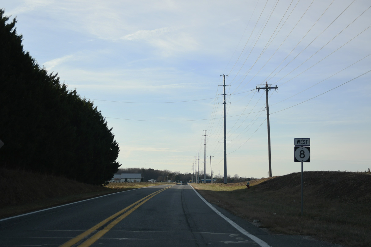
State Route 8 West


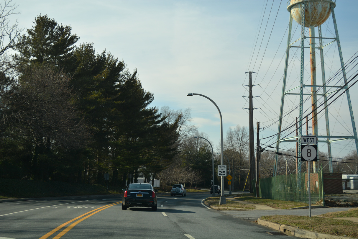
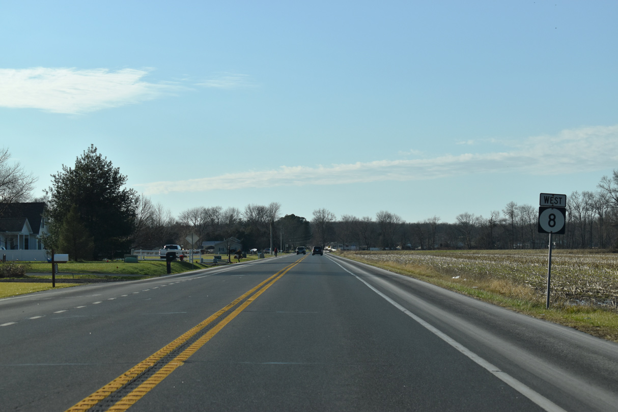
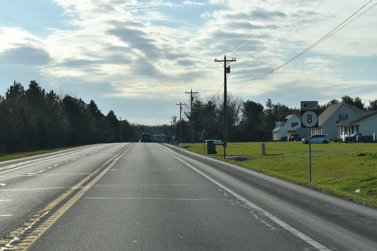
SR 8 (N Little Creek Road) stems west from SR 9 (Bayside Drive) and the north end of the Little Creek town limits.
12/23/24
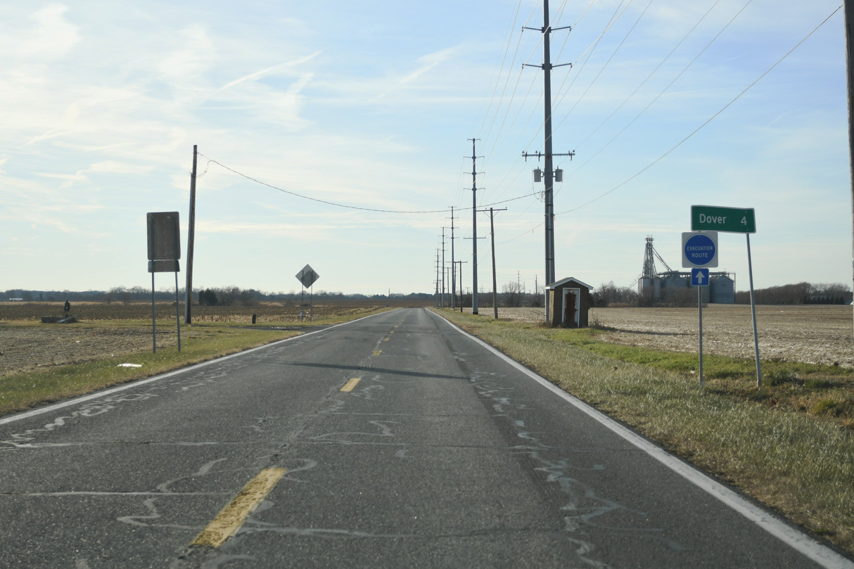
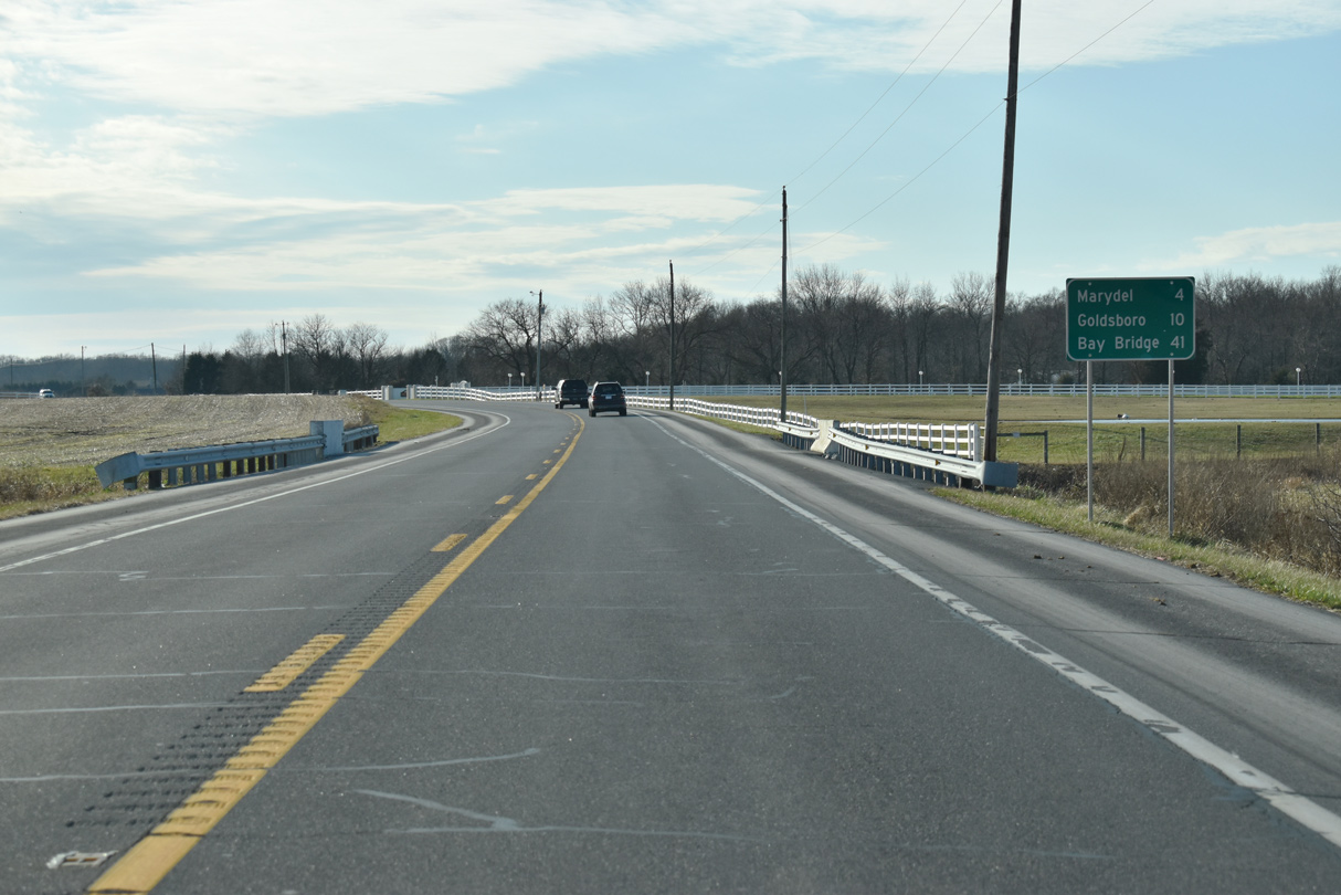
Downtown Dover lies four miles west of Little Creek along SR 8.
12/23/24
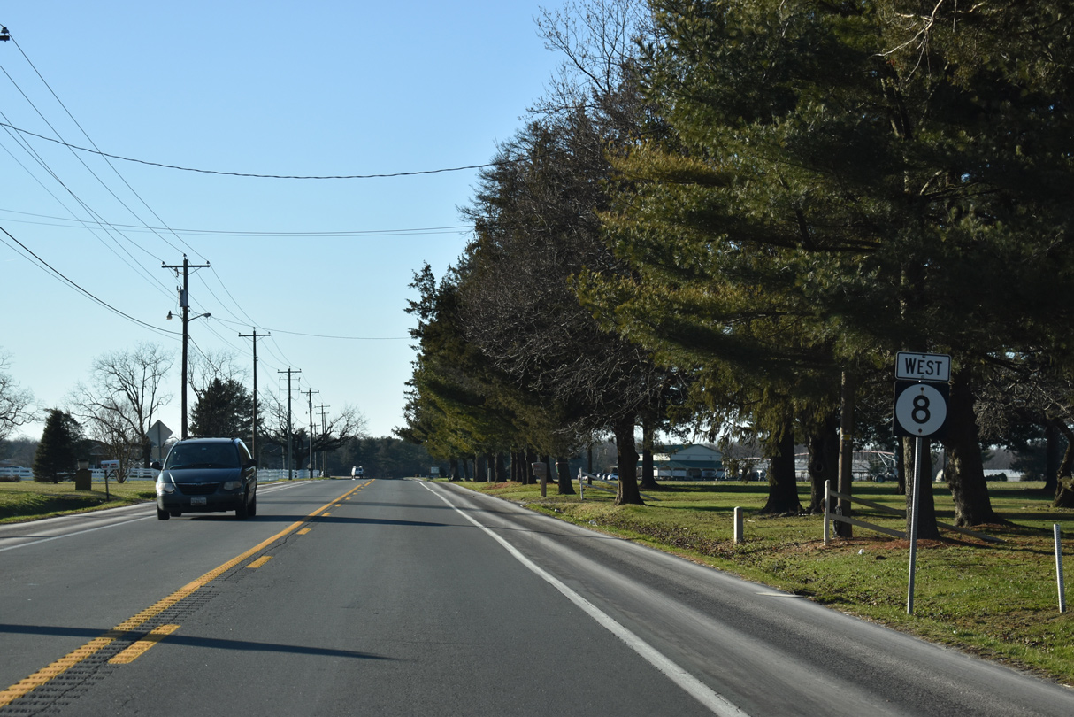
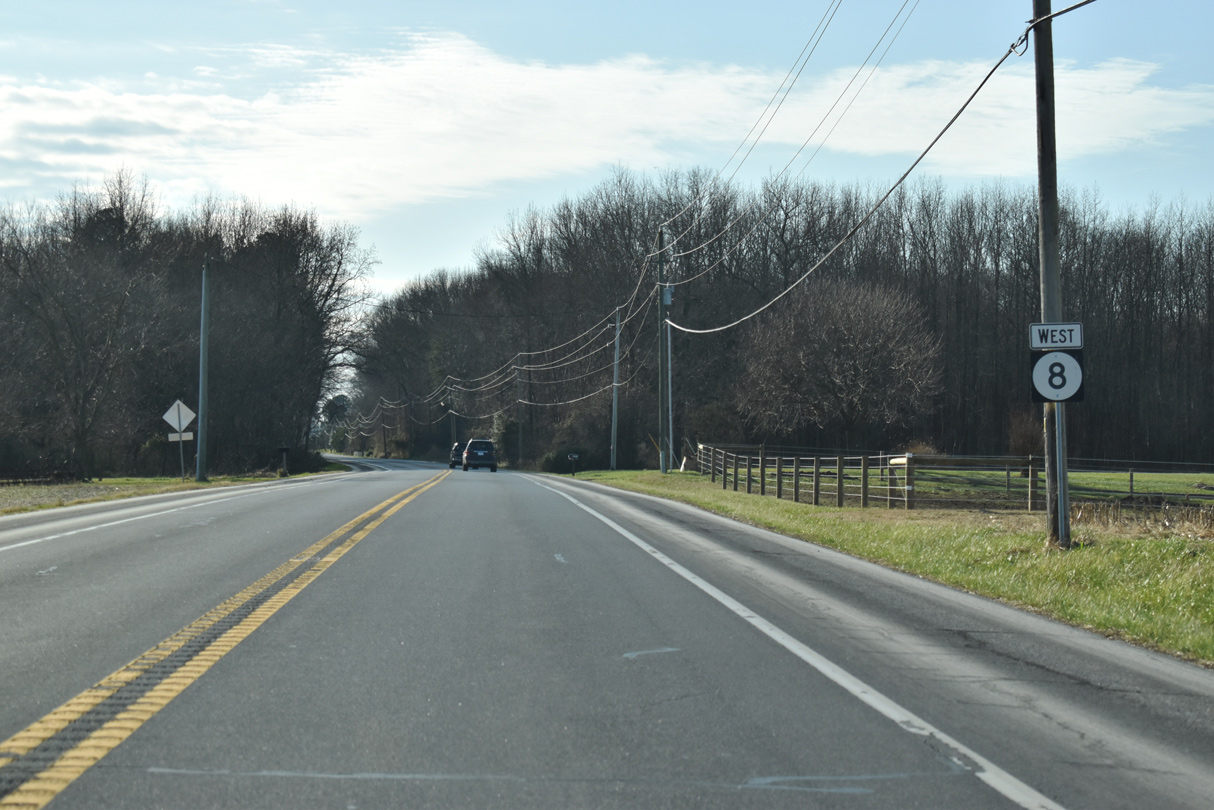
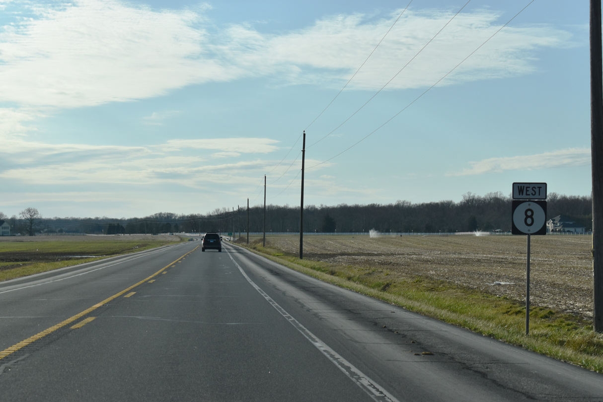
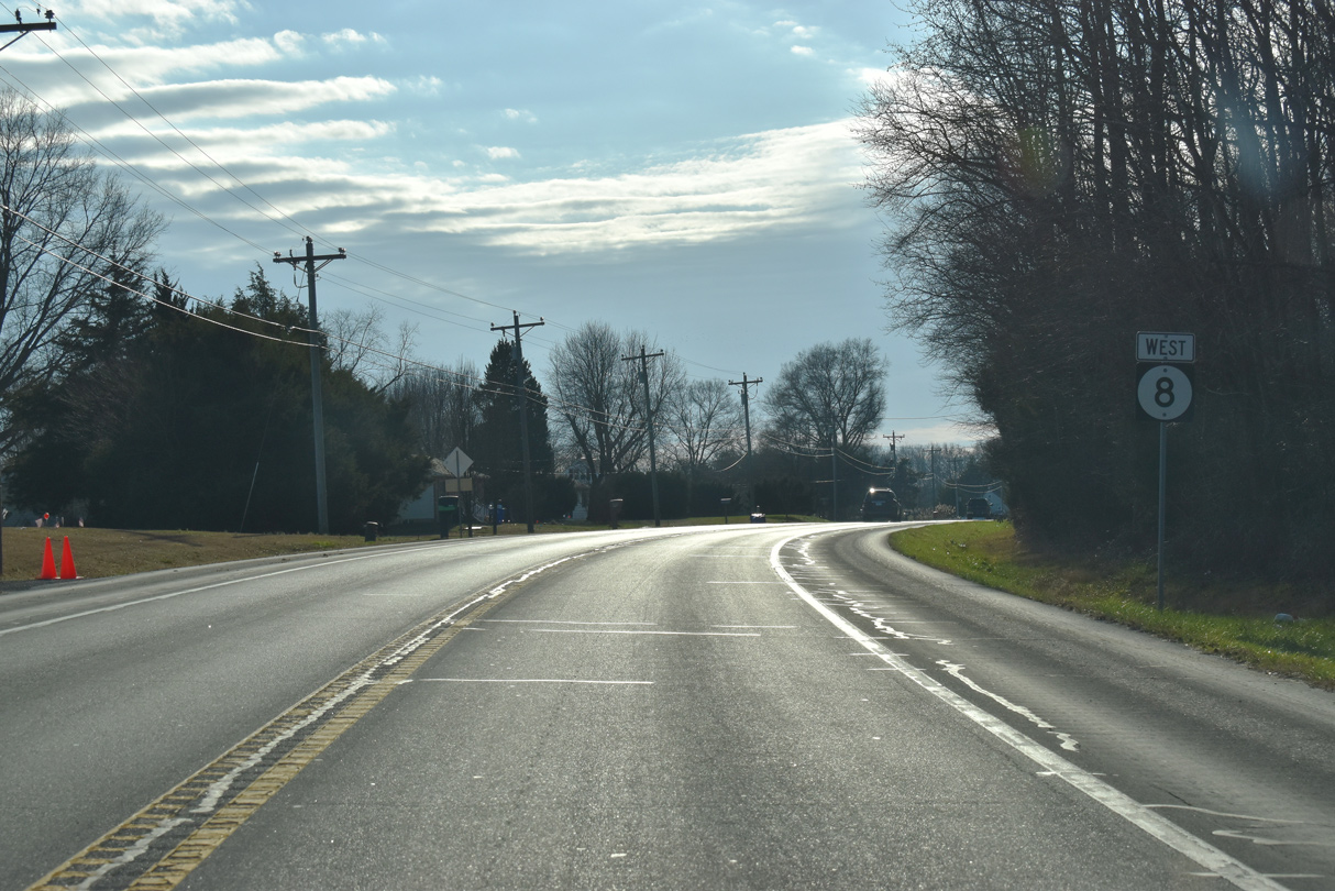
N Little Creek Road traverses agricultural areas to the south of the Pioneer Materials sand pit.
12/23/24
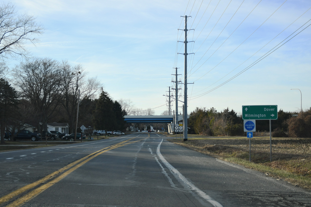
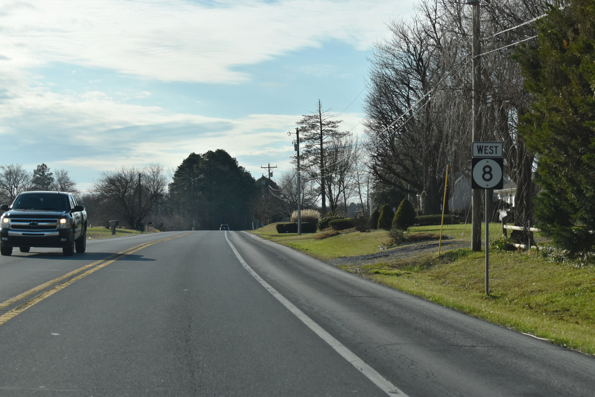
SR 8 runs along the Dover city line from Long Point Road (Rd 341) and the parallel Little River west to SR 1.
12/23/24
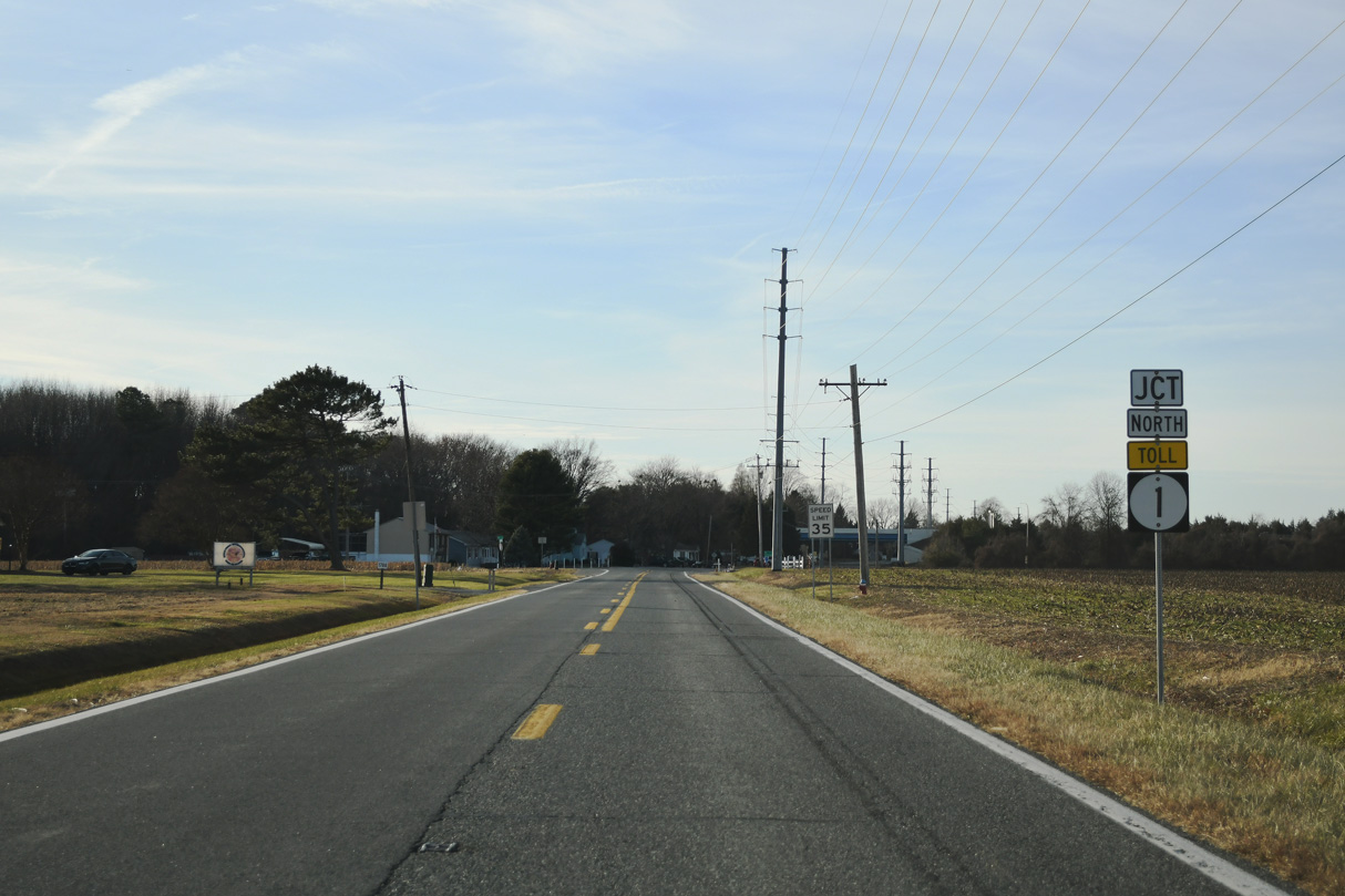
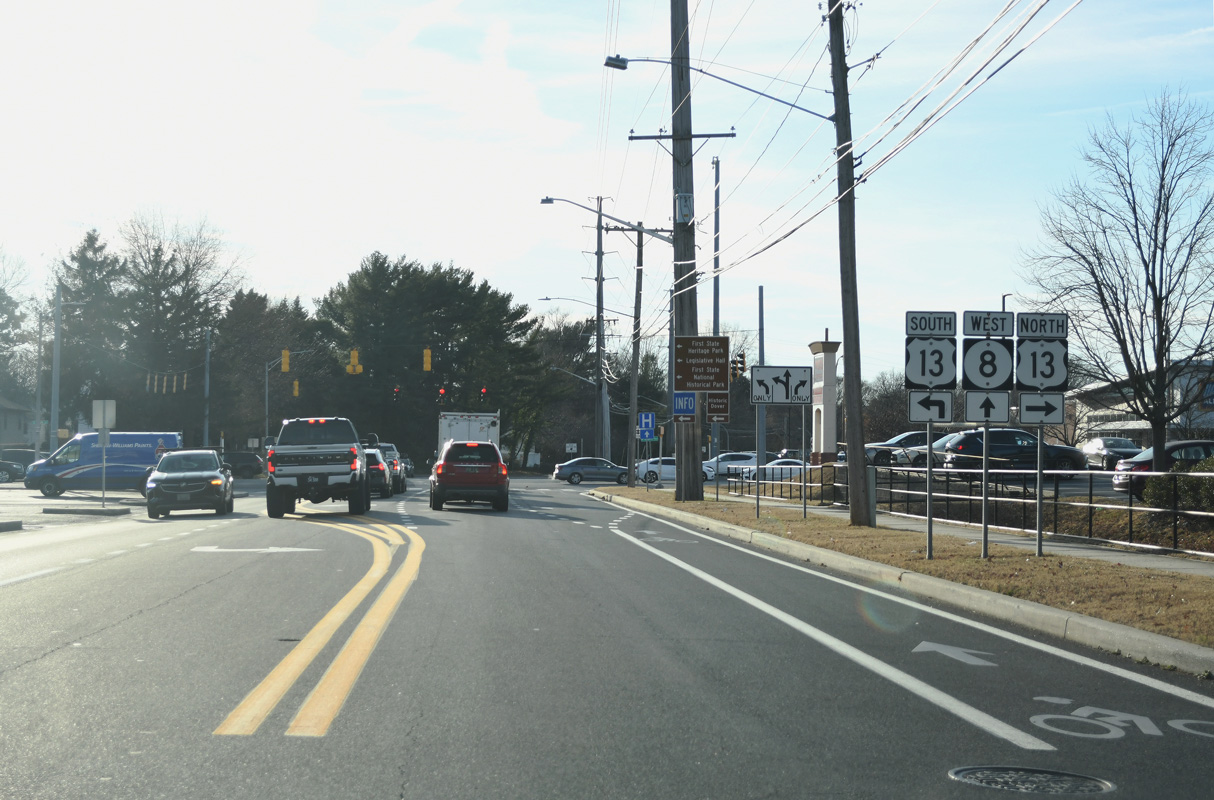
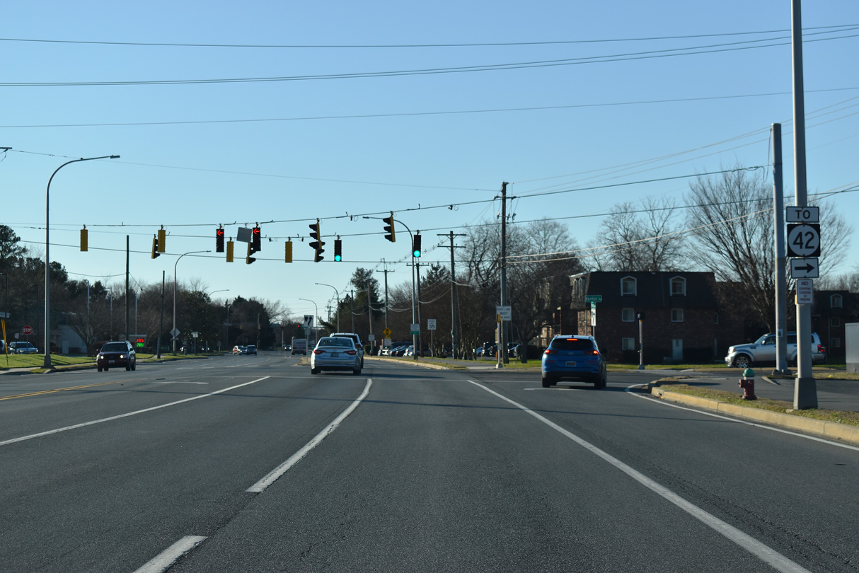
A half diamond interchange joins SR 8 (N Little Creek Road) with SR 1 north to Smyrna and Wilmington. The northbound entrance ramp opened to motorists on September 5, 2002.1
12/23/24
SR 1 (Korean War Veterans Memorial Highway) wraps around the east side of Dover from Dover Air Force Base north to Dover Downs.
12/23/24
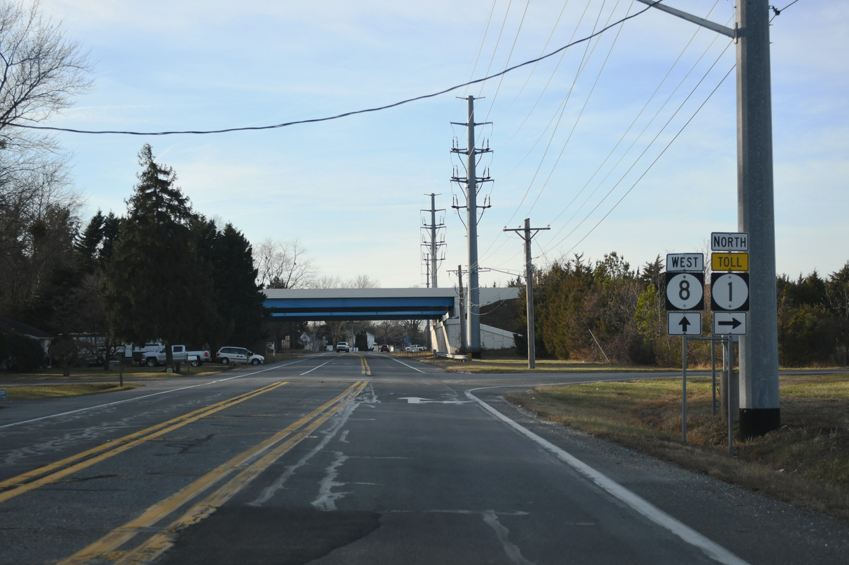
Motorists taking SR 1 north next enter the Dover main line toll plaza. The toll road continues ten miles north to south Smyrna.
12/23/24

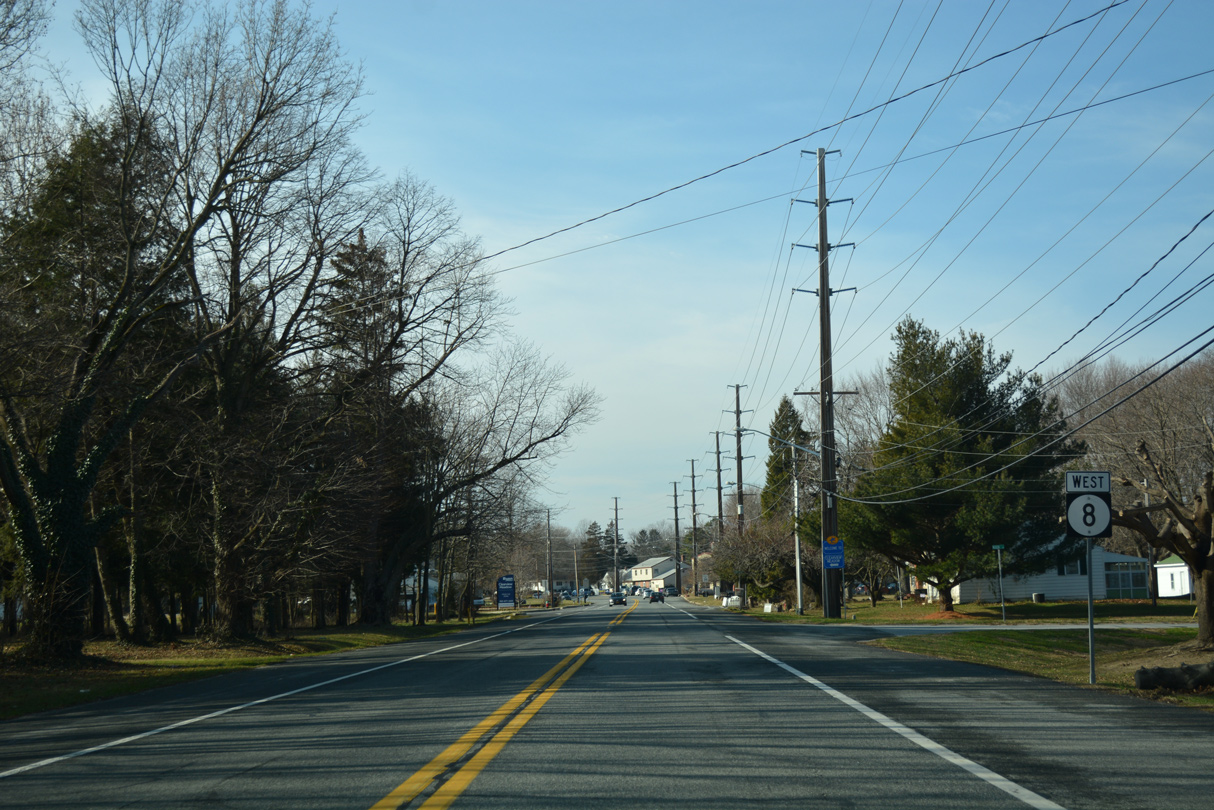
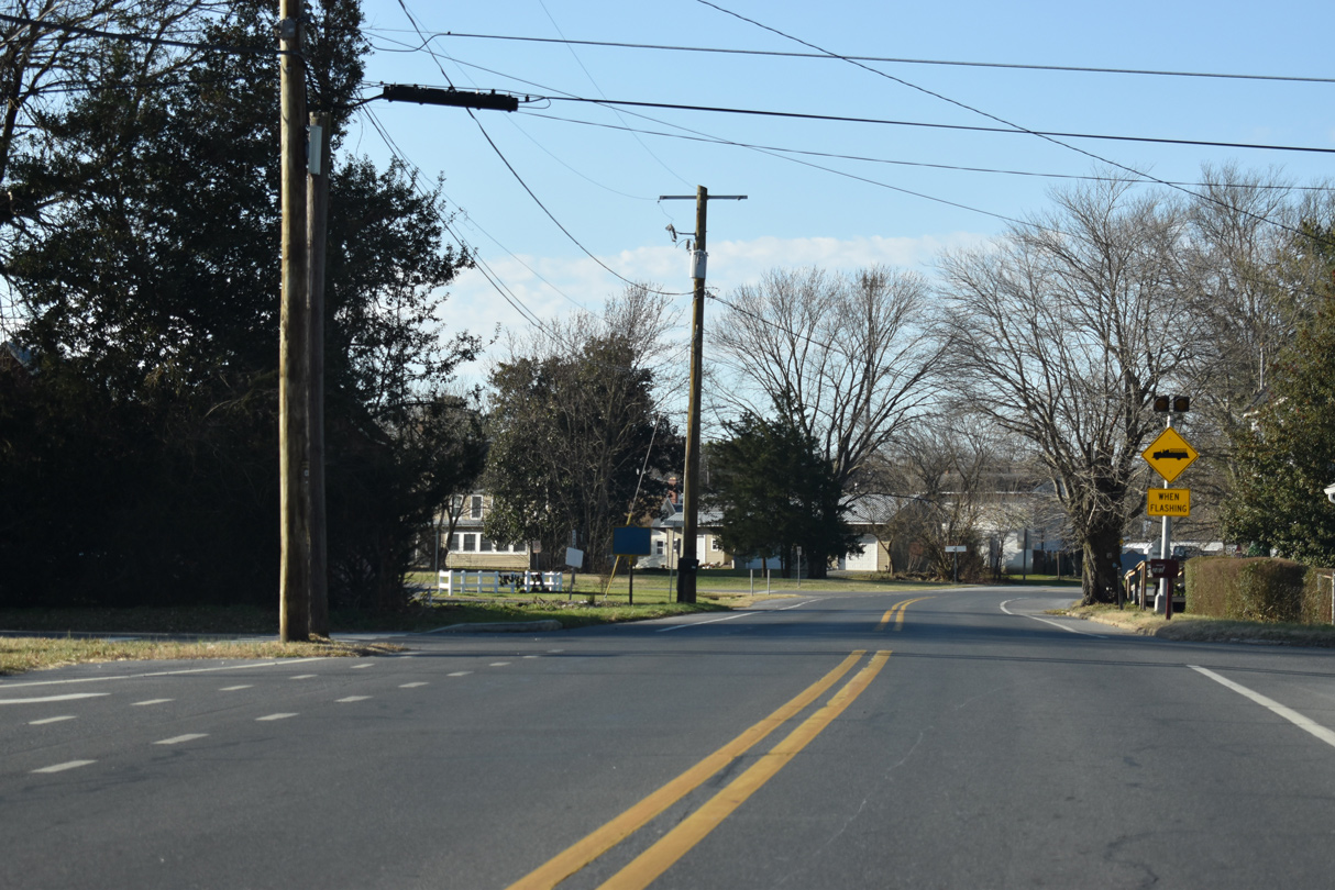
West from the SR 1 overpasses, SR 8 slows through residential areas by the Lexington Green and Acorn Farms subdivisions.
12/23/24
Acorn Lane links White Oak Road with SR 8 (Little Creek Road) by this reassurance marker. The state route shifts onto Division Street just ahead.
01/15/17
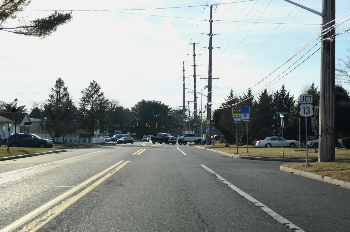
Division Street arcs southward between the older Dover Heights and Edgehill Acres communities to U.S. 13 (Dupont Highway).
12/23/24
U.S. 13 constitutes a six lane commercial arterial north to Dover Downs and Delaware State University and south to the adjacent split with Bay Road (old U.S. 113) for Dover Air Force Base.
12/23/24
SR 8 (Division Street) briefly expands to four lanes between U.S. 13 (Dupont Highway) and Kings Highway NE.
01/15/17
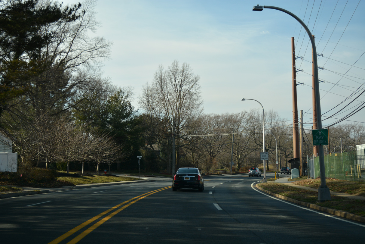
A Bay Bridge trailblazer appears along Division Street west at Bayard Avenue. There are no bypass routes west across Dover, so SR 8 remains part of the most direct route the U.S. 301 corridor and Chesapeake Bay Bridge in Maryland.
01/15/17
Kings Highway NE south and Park Dive north converge with SR 8 at the St. Jones River. Kings Highway NE overtakes Division Street as the name for SR 8 west over the next 0.25 miles.
01/15/17
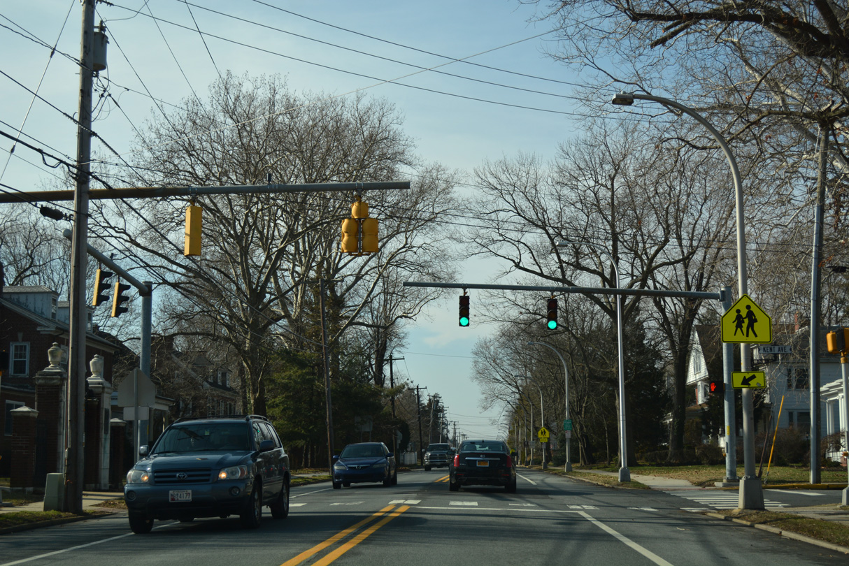
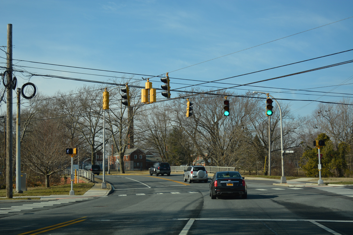
A traffic light operates at Kings Highway NE and Kent Avenue for the adjacent Central Middle School.
01/15/17
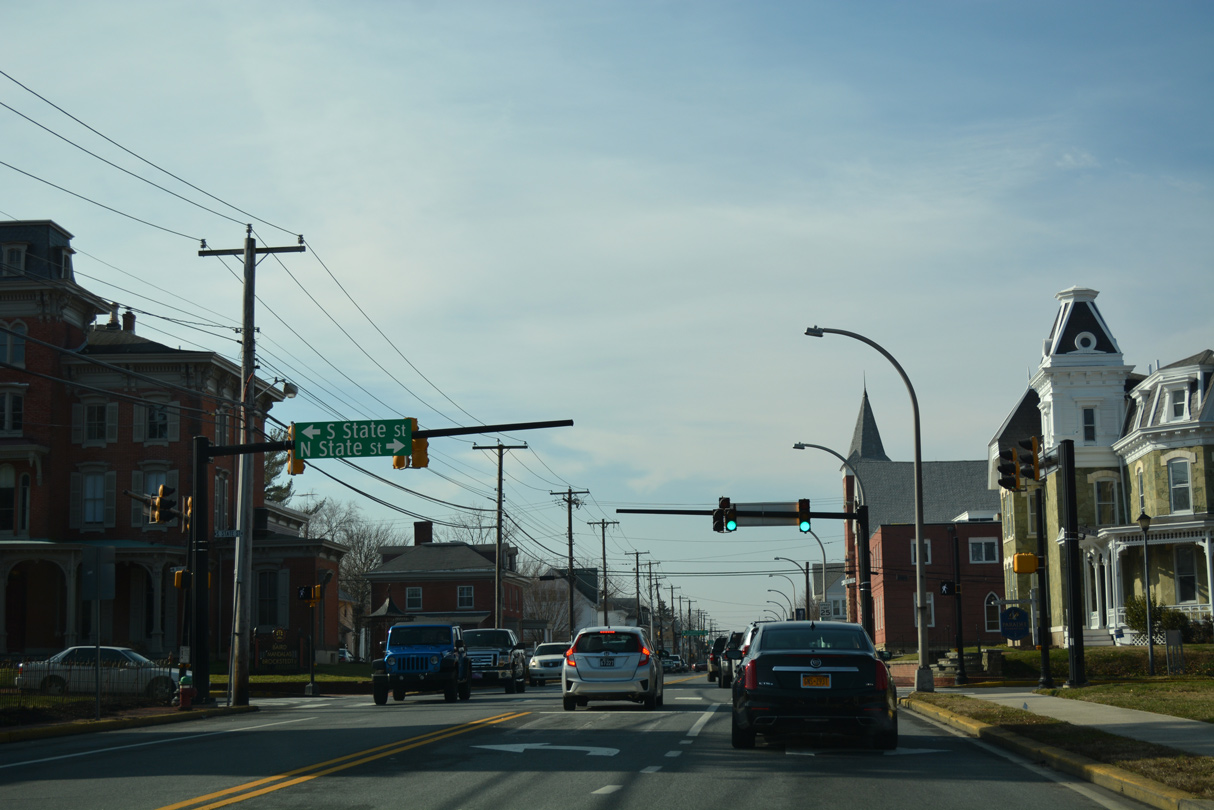
Kings Highway SW splits with SR 8 as Division Street resumes west to State Street. State Street represents one of two main routes north through Downtown Dover. It extends north across Silver Lake as U.S. 13 Alternate to Dover Downs.
01/15/17
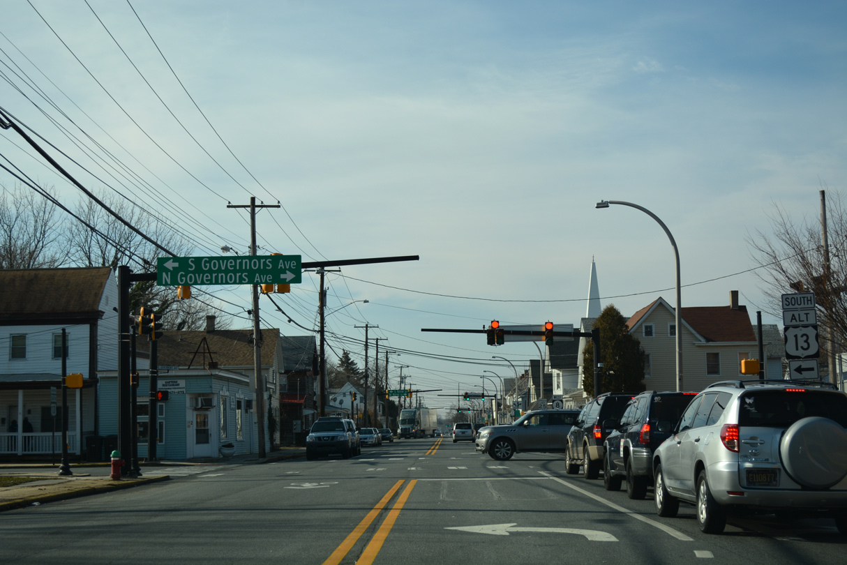
U.S. 13 Alternate shifts west from State Street onto Governors Avenue south through central Dover. SR 8 intersects the US route by Wesley College.
01/15/17
A confirming marker for SR 8 west appears after U.S. 13 Alternate (Governors Avenue). Division Street extends another 0.57 miles to merge with Forrest Street.
12/29/20
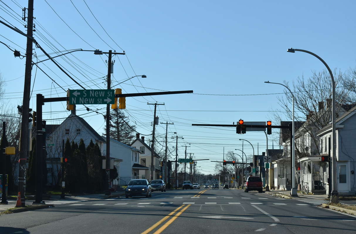
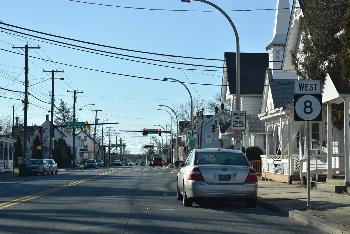
Division Street west at New Street.
12/29/20
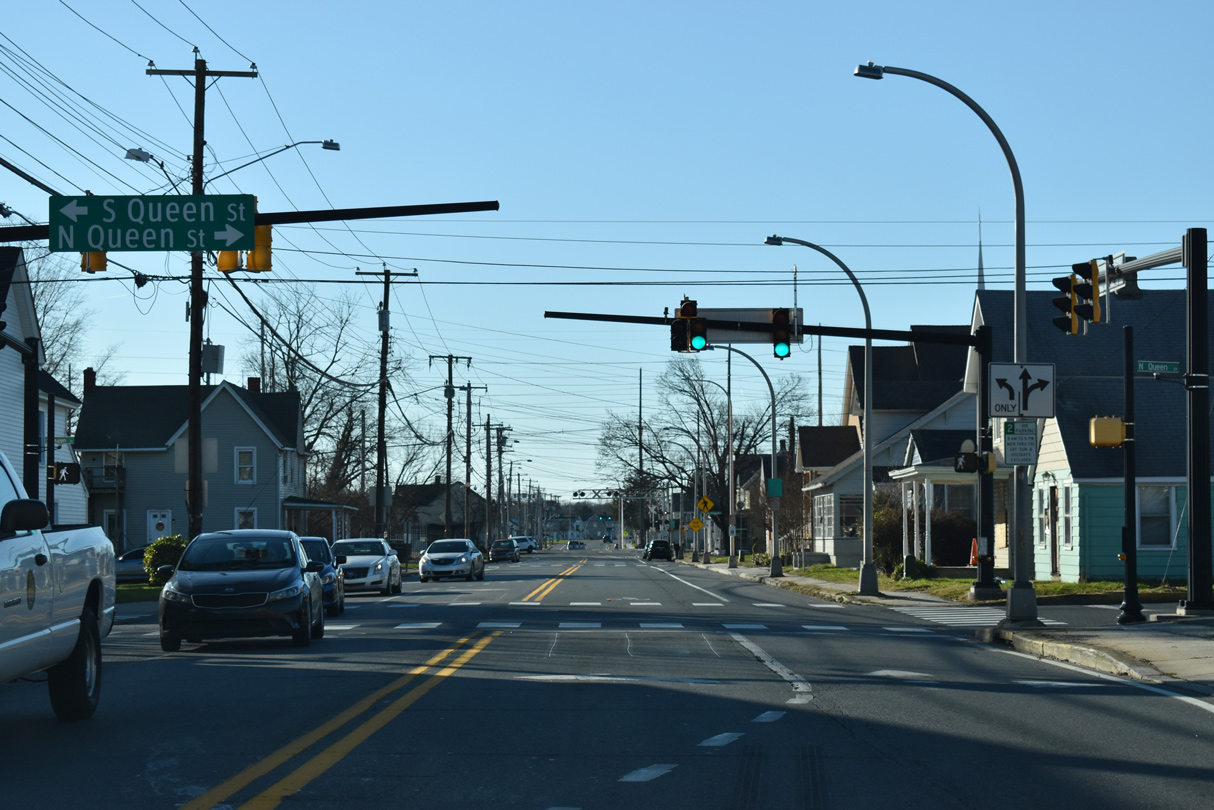
Queen Street crosses SR 8 (Division Street) at the succeeding traffic light westbound.
12/29/20
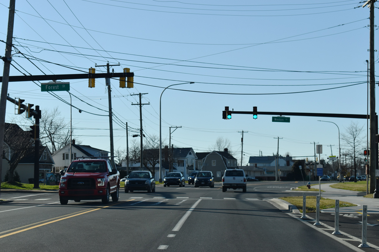
Weston Drive links SR 8 (Division Street) west with Forest Street (Rd 23) east to Loockerman Street and Downtown Dover.
12/29/20
SR 8 shifts onto Forest Street west at the signal with Gibbs Drive south.
12/29/20
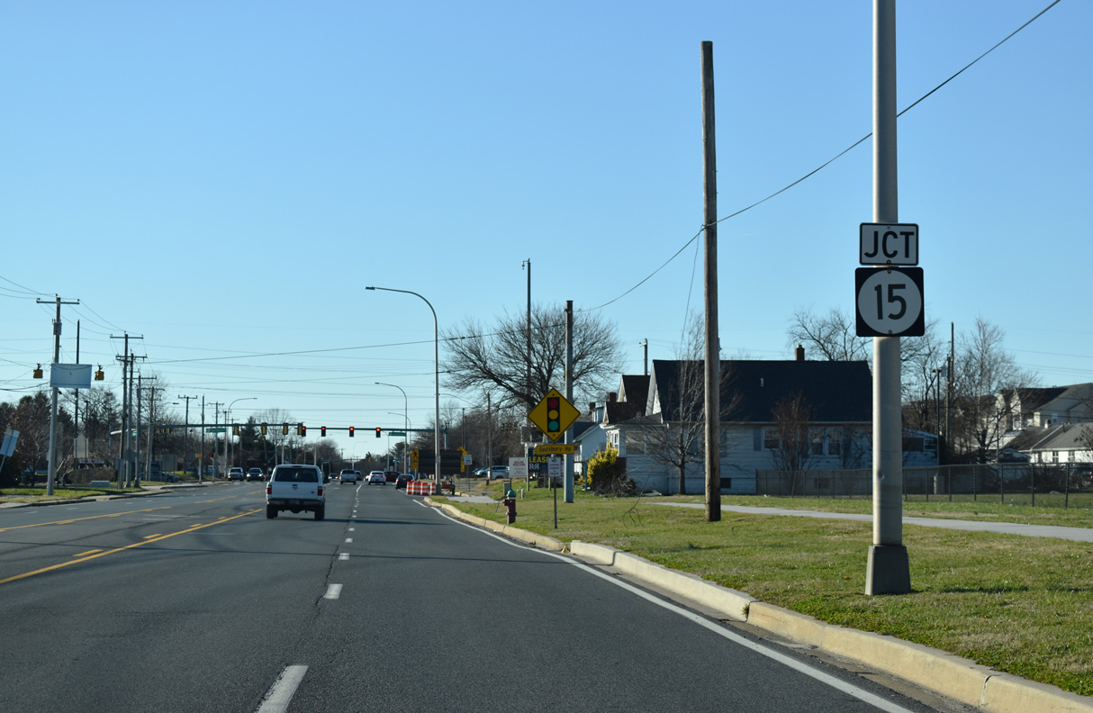
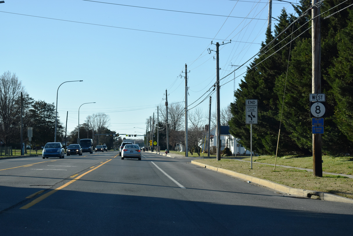
Forest Street constitutes a five lane boulevard west to Kenton Road. SR 15 (Saulsbury Road) meets SR 8 north from W North Street and POW/MIA Parkway.
12/29/20
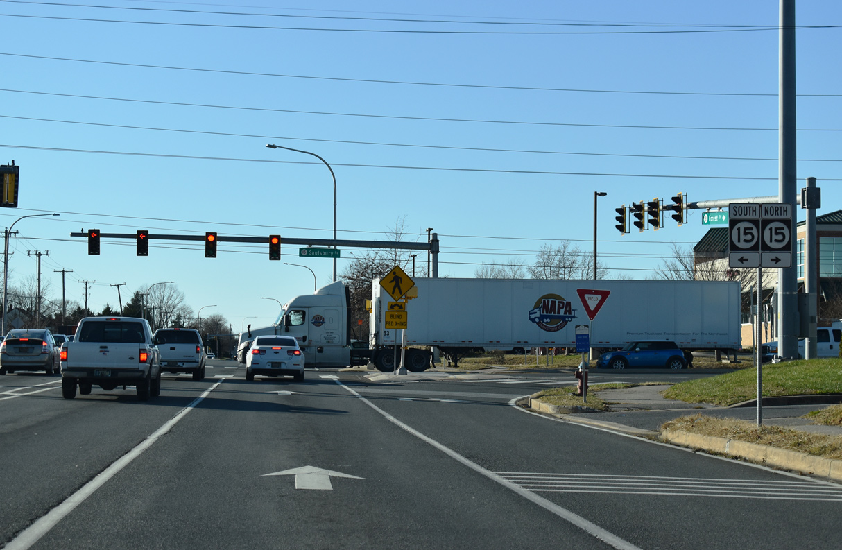
SR 15 travels across the west side of Dover south to Wyoming and Woodside and north to Cheswold and Kenton.
12/29/20
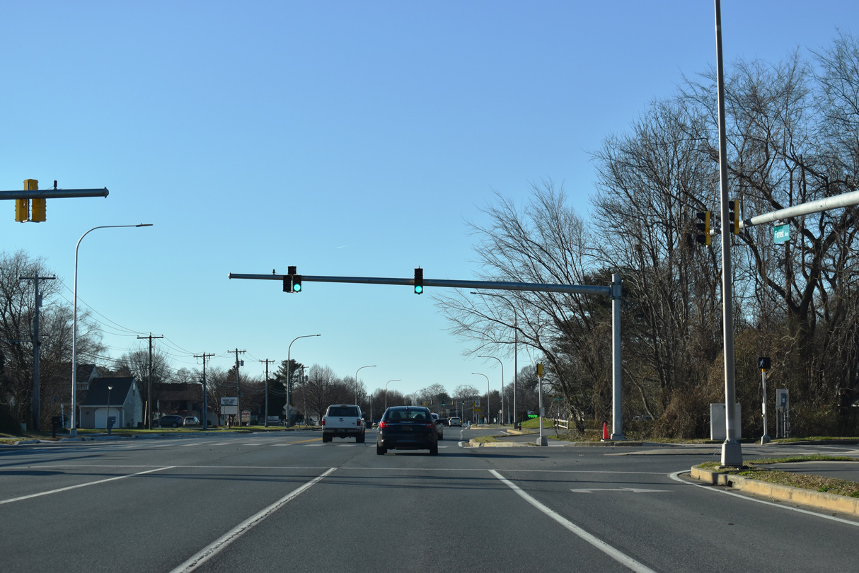
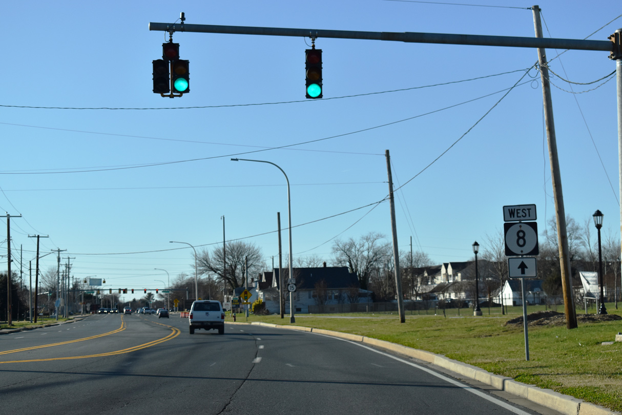
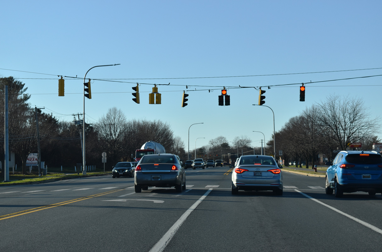
West of SR 15 (Saulsbury Road), SR 8 is Forrest Avenue.
12/29/20
SR 8 (Forrest Avenue) west at Independence Boulevard, a residential street north to Walker Road and south to Farmview Drive.
12/29/20
Kenton Road (Rd 104) meanders 2.35 miles northwest to become a part of SR 15 en route to SR 42 near Moores Corner.
12/29/20
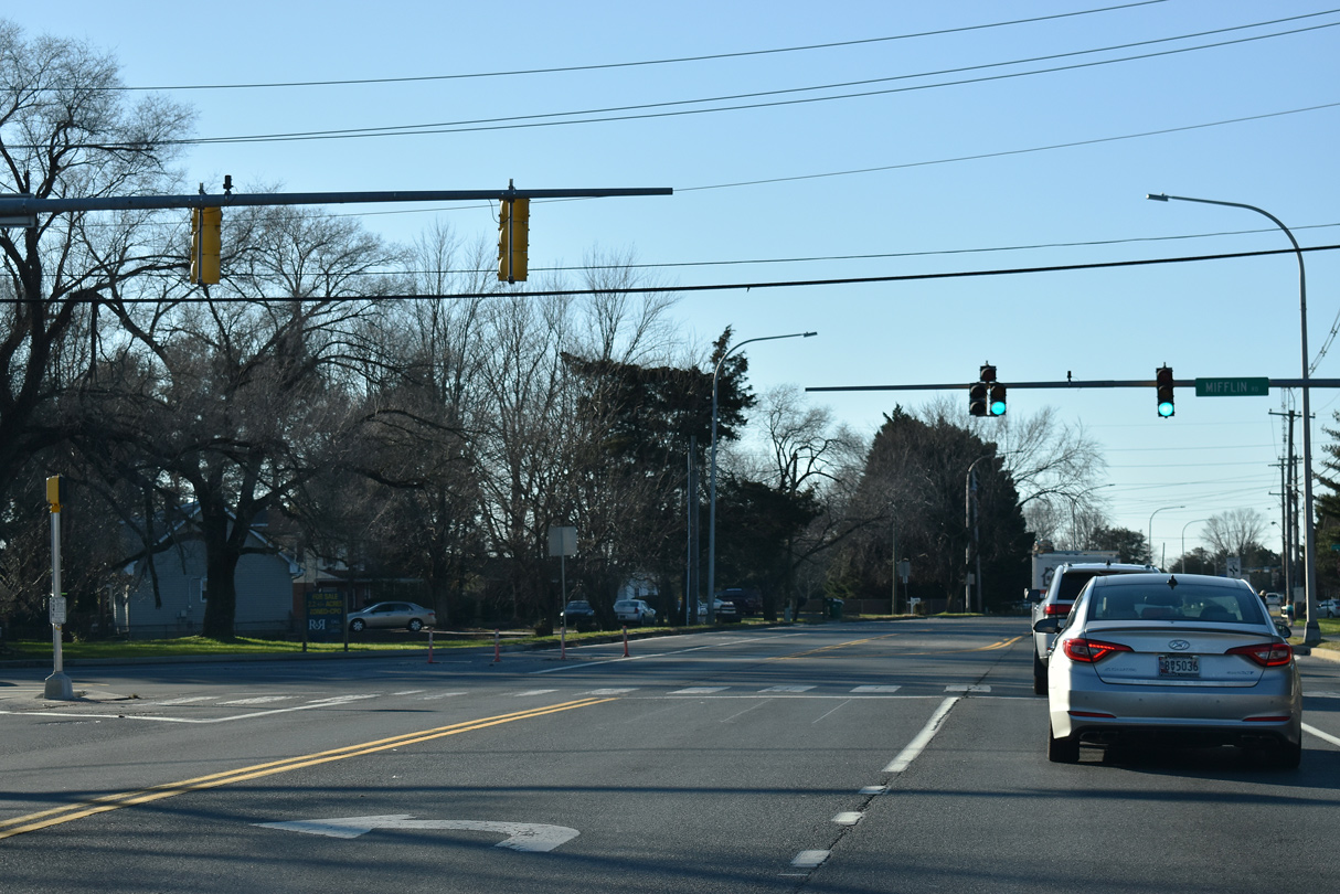
Mifflin Road (Rd 196) stems south from SR 8 (Forrest Avenue) 0.61 miles to SR 15 (Hazlettville Road) and Electric Avenue to Schutte Park.
12/29/20
SR 8 (Forrest Avenue ) reduces to a three lane boulevard west from Mifflin Road to Heatherfield Way.
12/29/20
HAWK signals operate at the intersection joining SR 8 (Forrest Avenue) with Heatherfield Way north to the Heatherfield subdivision across from an entrance to Dover High School.
12/29/20
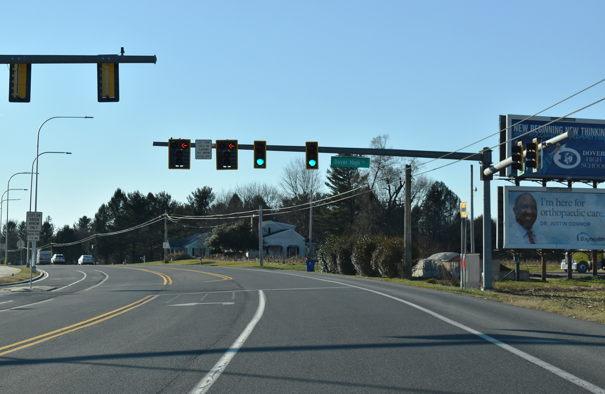
Dover High Drive heads south along the west side of Dover High School to the Leander Lakes development and Cannon Mill subdivision.
12/29/20
SR 8 (Forrest Avenue) west between Sharon Hill Road (Rd 162) and Cahoon Branch.
12/29/20
Reassurance marker posted west of Cahoon Branch Road (Rd 198).
12/29/20
Chesnut Grove Road (Rd 158) south and Nault Road (Rd 199) north come together at SR 8 and Paden Corner ahead of this shield assembly.
12/29/20
SR 8 west of Victory Chapel Road (Rd 163) north and Birchfield Drive south to the Hidden Acres subdivision.
12/29/20
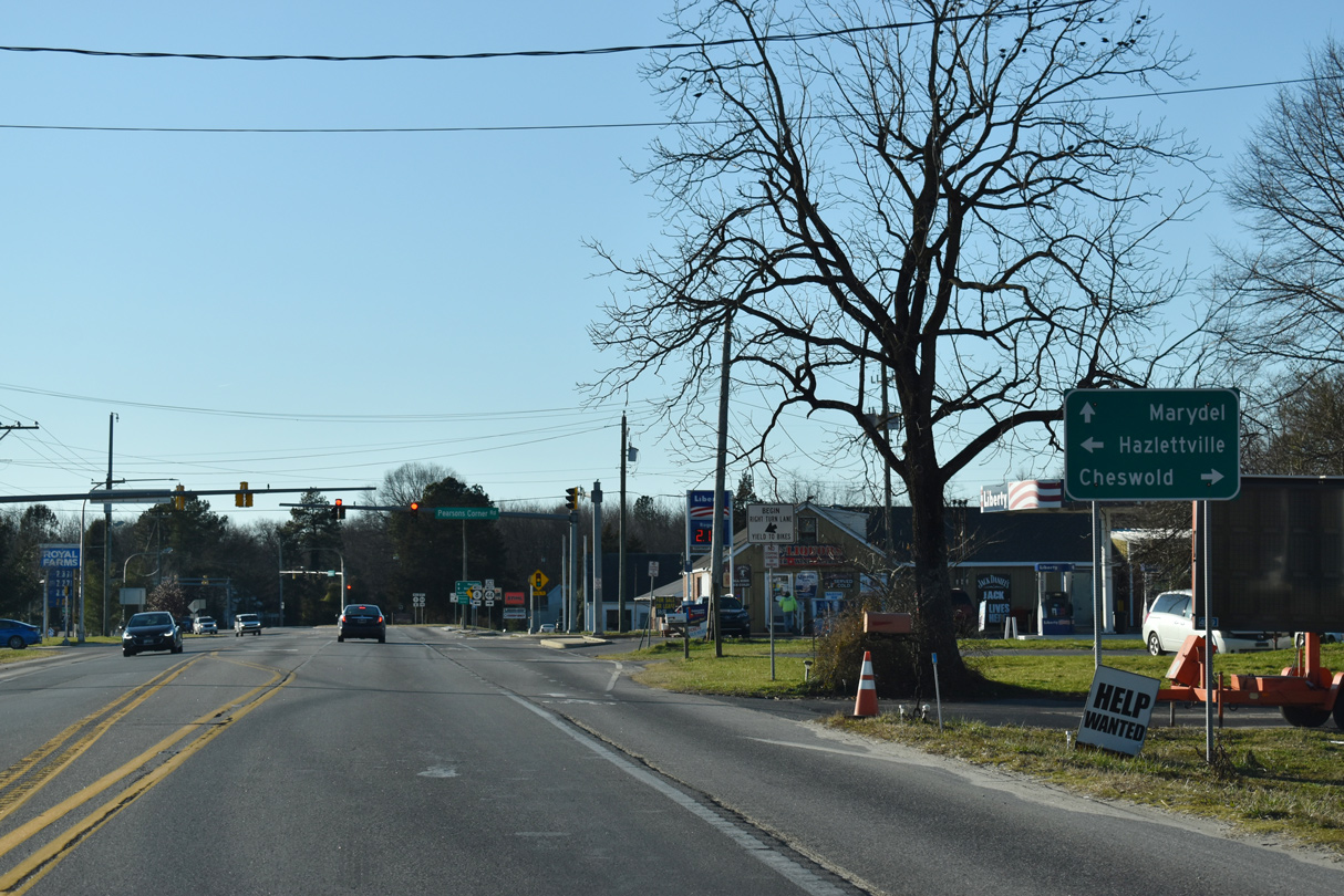
Pearsons Corner Road (Rd 101) leads 2.27 miles south from SR 8 to Hazlettville Road and 5.53 miles northeast to SR 42 (Seven Hickories Road) near the town of Cheswold.
12/29/20
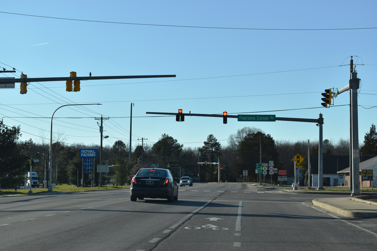
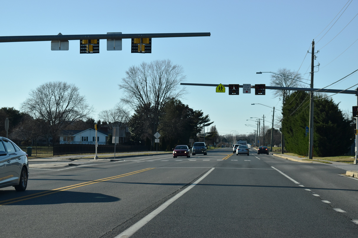
The first of two traffic lights along SR 8 west at Pearsons Corner is with Pearsons Corner Road.
12/29/20
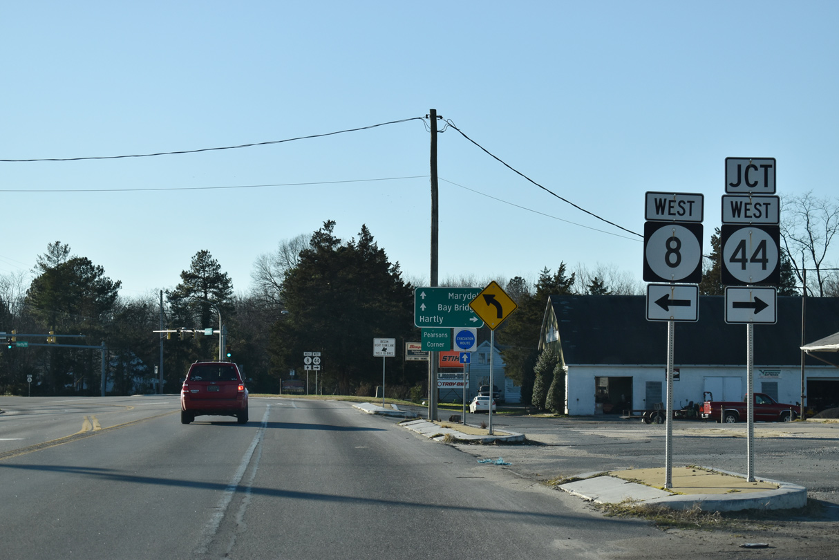
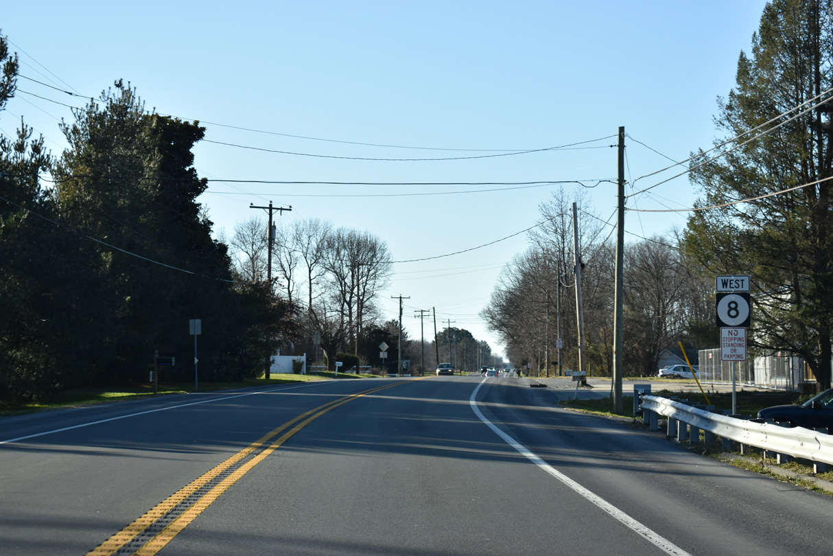
SR 44 (Hartly Road) travels northwest from SR 8 (Halltown Road) 6.65 miles to SR 300 (Sudlersville Rod) at Everetts Corner.
12/29/20
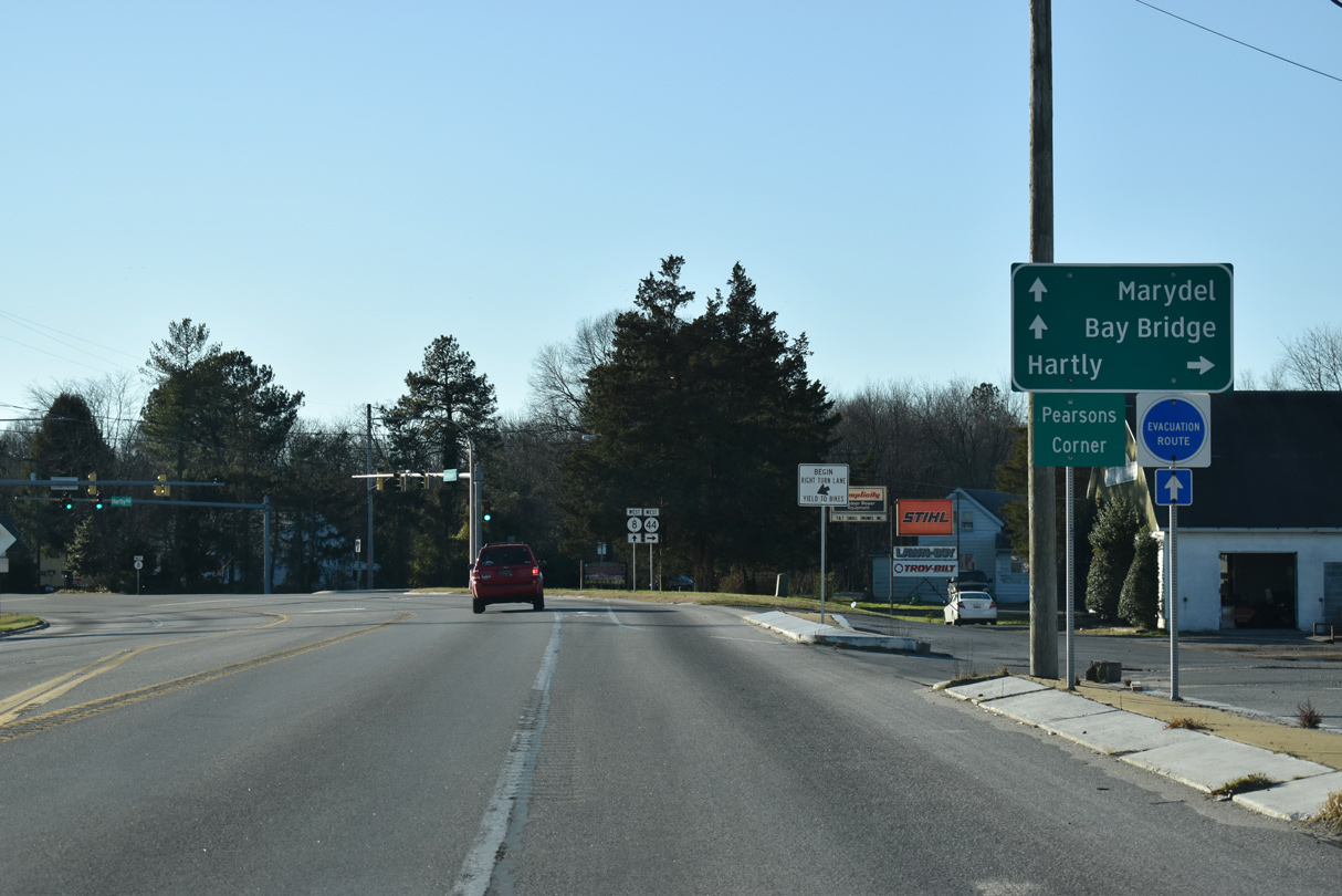
The small town of Hartly lies at the crossroads of SR 44 and SR 11 (Arthursville Road), 3.76 miles from SR 8 (Halltown Road).
12/29/20
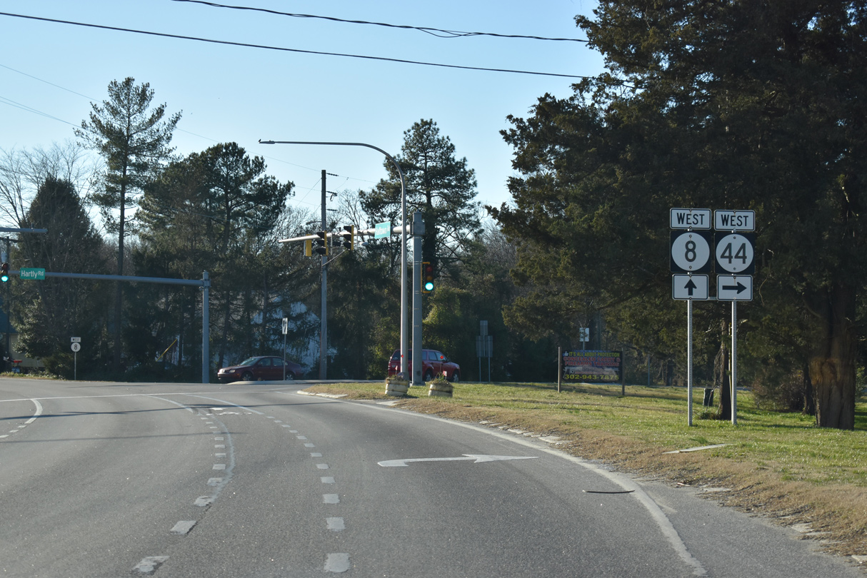
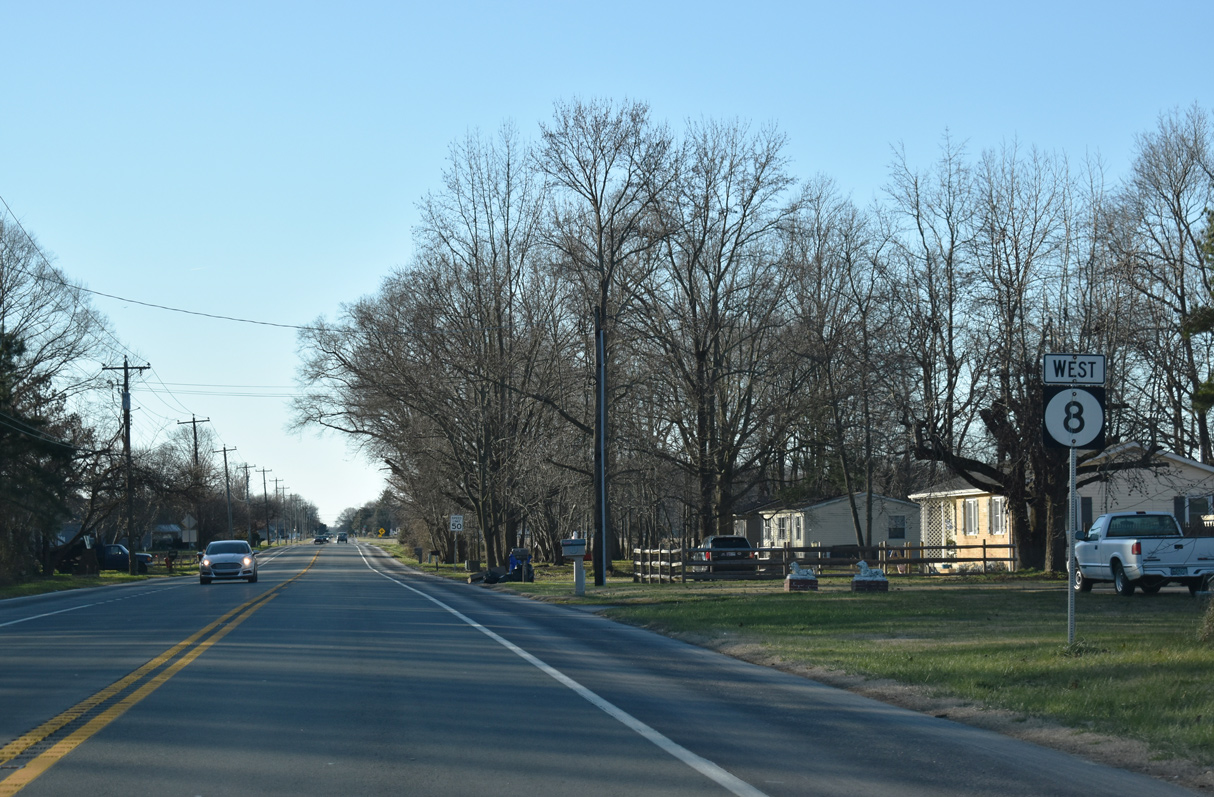
Westbound SR 8 (Halltown Road) previously split with SR 44 (Hartly Road) at a rural wye intersection. Traffic lights were added here in 2012.
12/29/20
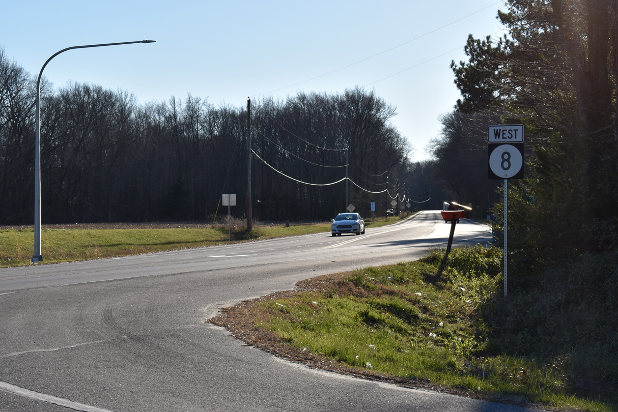
The remaining 6.33 miles of SR 8 west to the state line at Marydel follow Halltown Road.
12/29/20
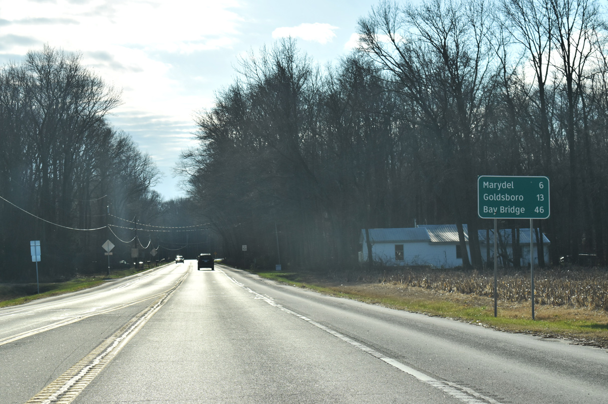
Goldsboro lies seven miles to the southwest of Marydel along MD 311.
12/28/20
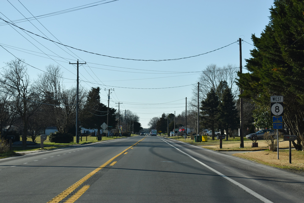
Brittney Lane (Rd 201) stems south 1.06 miles to Bryants Corner Road (Rd 103) ahead of this reassurance marker.
12/28/20
SR 8 (Halltown Road) west of Crystal Road. Crystal Road (Rd 189) angles northwest 2.50 miles to SR 44 (Main Street) in Hartly.
12/28/20
SR 8 (Halltown Road) plies across farm land west of Hourglass Road (Rd 103).
12/28/20
The town of Marydel lies four miles southwest of Bethesda along SR 8/MD 454.
12/28/20
SR 8 (Halltown Road) west beyond the intersection with Tuxward Road (Rd 220) south and Slaughter Station Road (Rd 182) north.
12/28/20
SR 8 (Halltown Road) arcs 1.89 miles west from Proctors Purchase Road (Rd 183) to the Maryland state line.
12/28/20

Tappahana Bridge Road (Rd 221) north and Gunter Road (Rd 184) south converge with Halltown Road ahead of this SR 8 shield assembly.
12/28/20
Sandy Bend Road (Rd 222) heads 2.27 miles northwest from Westville Road at Chapeltown to SR 8 (Halltown Road) ahead of this reassurance shield.
12/28/20
SR 8 (Halltown Road) west intersects East Street one block from the Maryland state line and transition to MD 454.
12/28/20
References:
- "Route 1 & Route 8 Partial Interchange Opens Today." Delaware Department of Transportation (DelDOT), press release. April 15, 2002.
Photo Credits:
- Alex Nitzman: 01/15/17, 12/28/20, 12/29/20, 12/23/24
Connect with:
Page Updated Wednesday December 03, 2025.