
State Route 10 Alternate
Coinciding with the opening of the Smyrna-Dover Bypass portion of the SR 1 toll road, SR 10 Alternate was created in 1993. Expansion of SR 10 (Lebanon Road) was also underway around the same time between U.S. 13 (Dupont Highway) and Bay Road (former U.S. 113) at the toll road. SR 10 Alternate was established along rural Henry Cowgill Road west from Main Street through Woodside. Northeast from the small town, Walnut Shade Road leads SR 10 Alt to Rising Sun and Sorghum Mill Road. The state route continues northward along S State Street (former U.S. 113 Alt) to conclude at SR 10, midway between Camden and Dover AFB.
Delaware State Route 10 Alternate - 2015 Annual Average Daily Traffic (AADT)
- 1,375 - SR 10 to west Woodside limits
- 7,390 - west Woodside limits to U.S. 13 Alt
- 4,344 - U.S. 13 Alt to east Woodside Limits
- 5,303 - U.S. 13 to Peachtree Run Road
- 6,511 - Rising Sun Road to South State Street
- 11,684 - Sorgum Mill Road to SR 10
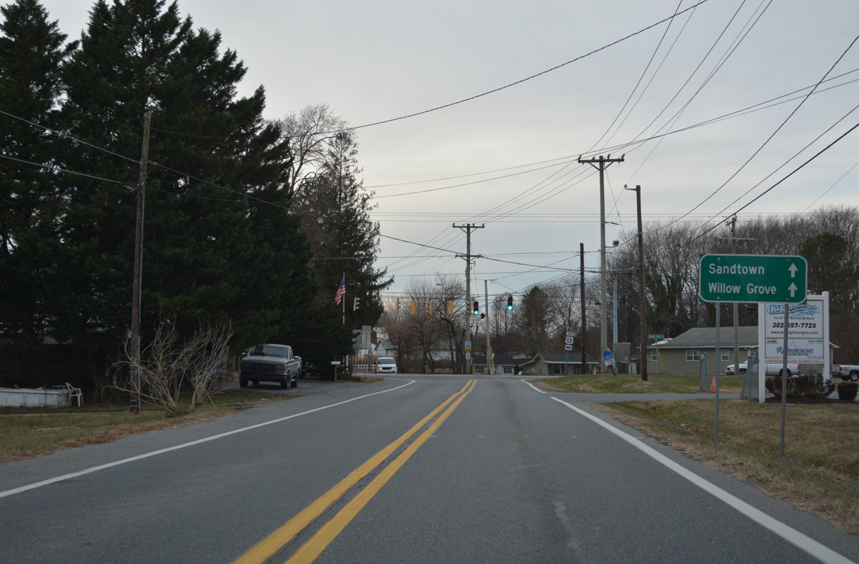
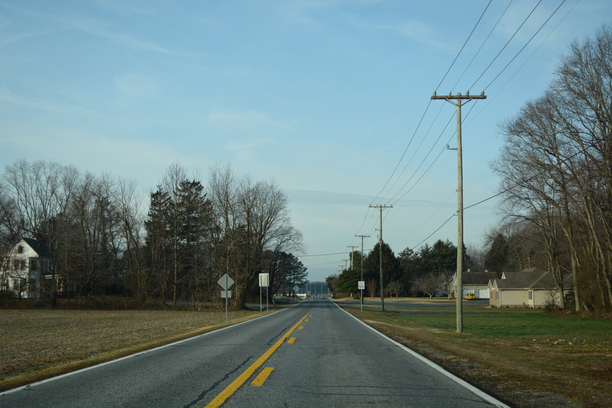
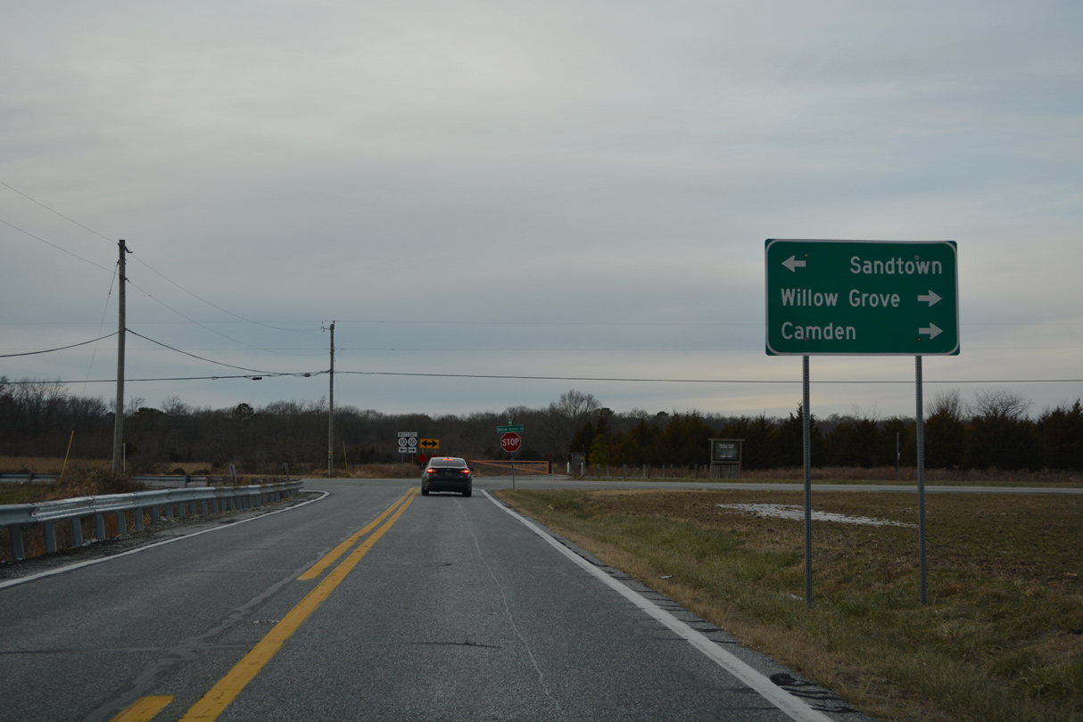
SR 10 (Willow Grove) proceeds northeast to Willow Grove and Camden while SR 10 Alternate (Henry Cowgill Road) curves eastward toward Woodside.
12/27/25
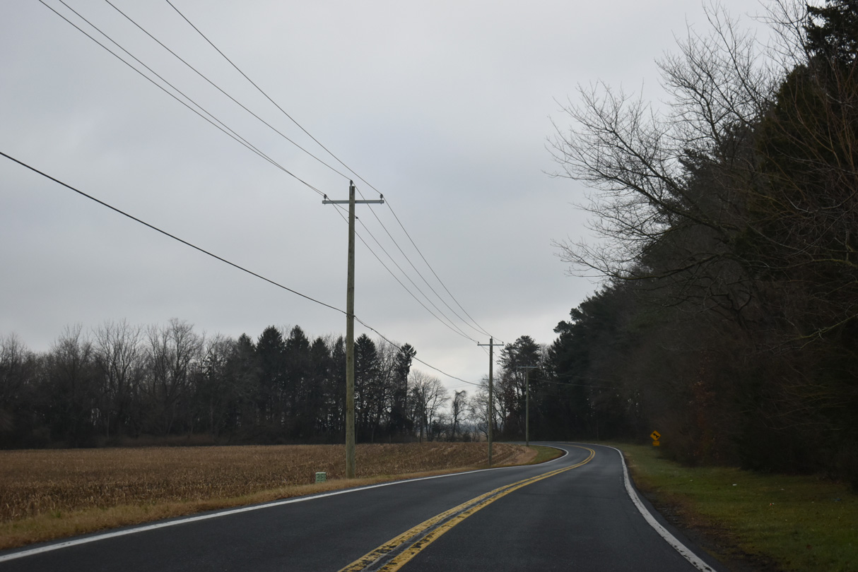
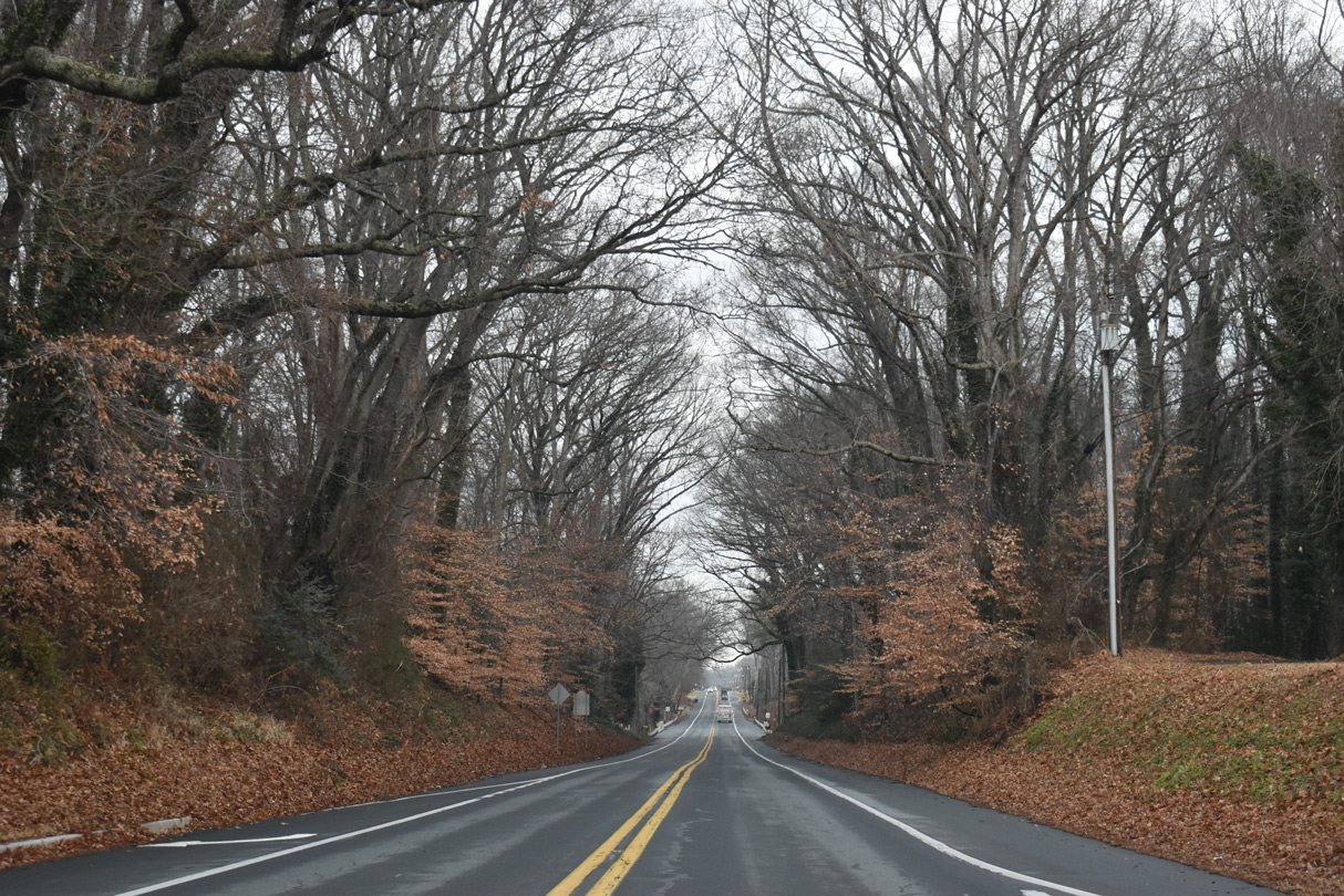
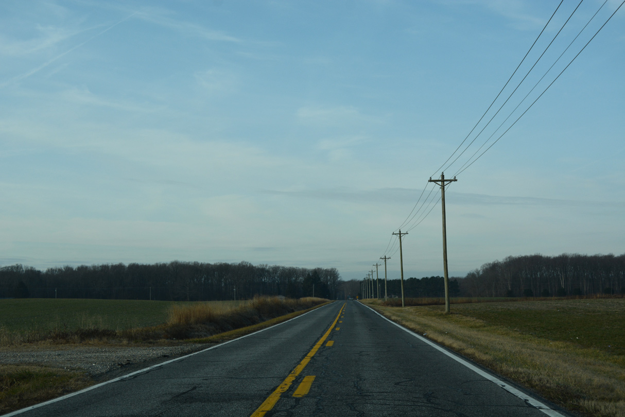
A forested area surrounds Cow Heron Drain along SR 10 Alt (Henry Cowgill Road).
01/16/17
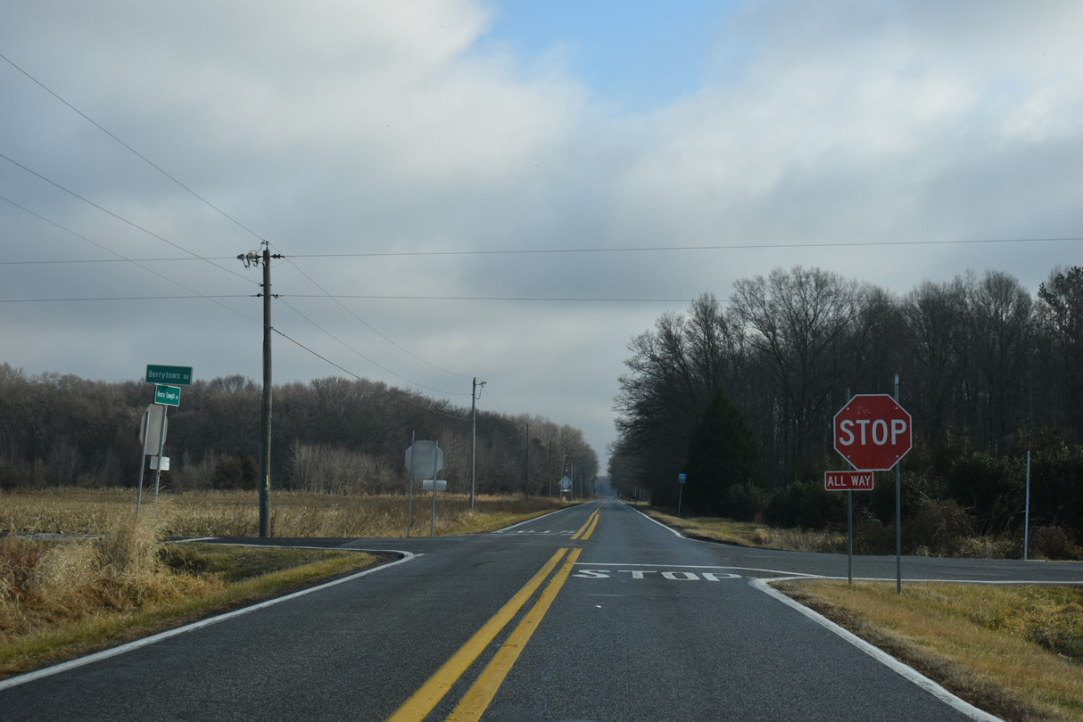
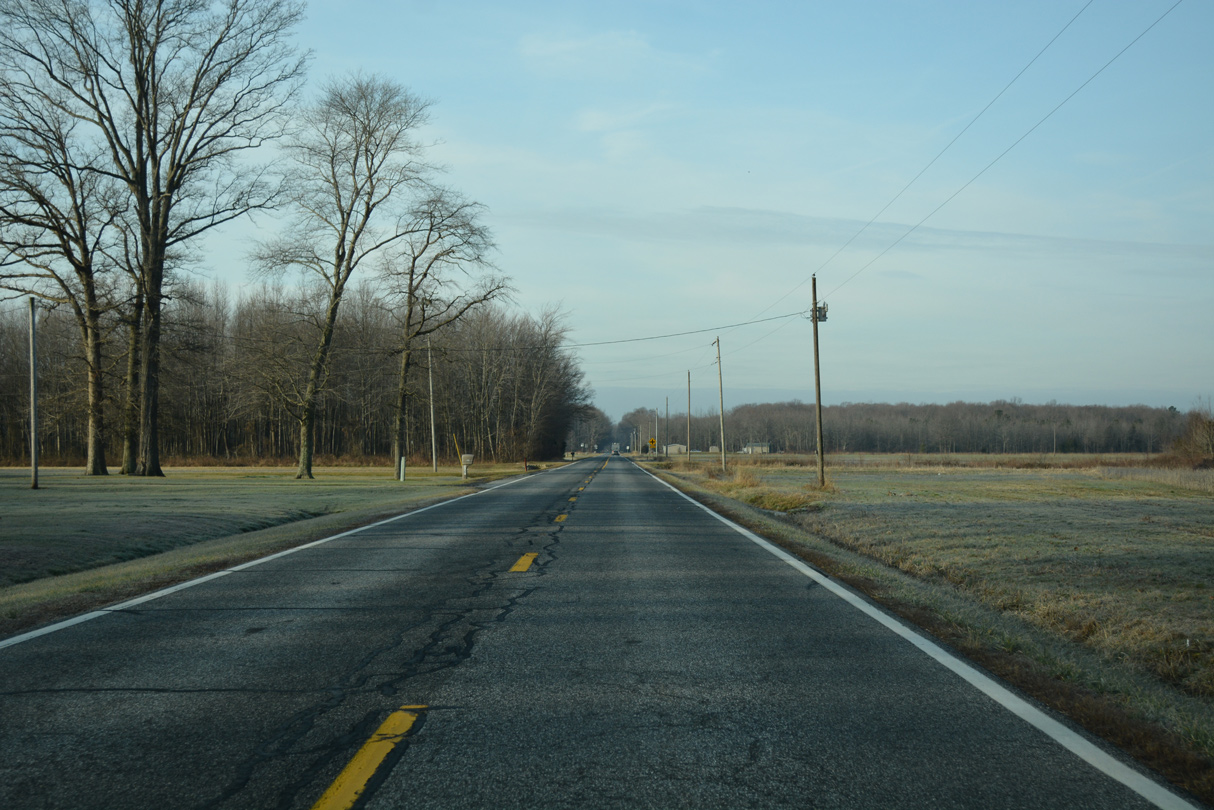
SR 10 Alt (Henry Cowgill Road) straightens out ahead of the four way stop at Berrytown Road (Rd 246).
12/27/25
Farm Lane (Rd 235) stems south from SR 10 (Willow Grove) to intersect SR 10 Alt en route to Friedel Road near the town of Viola.
01/16/17
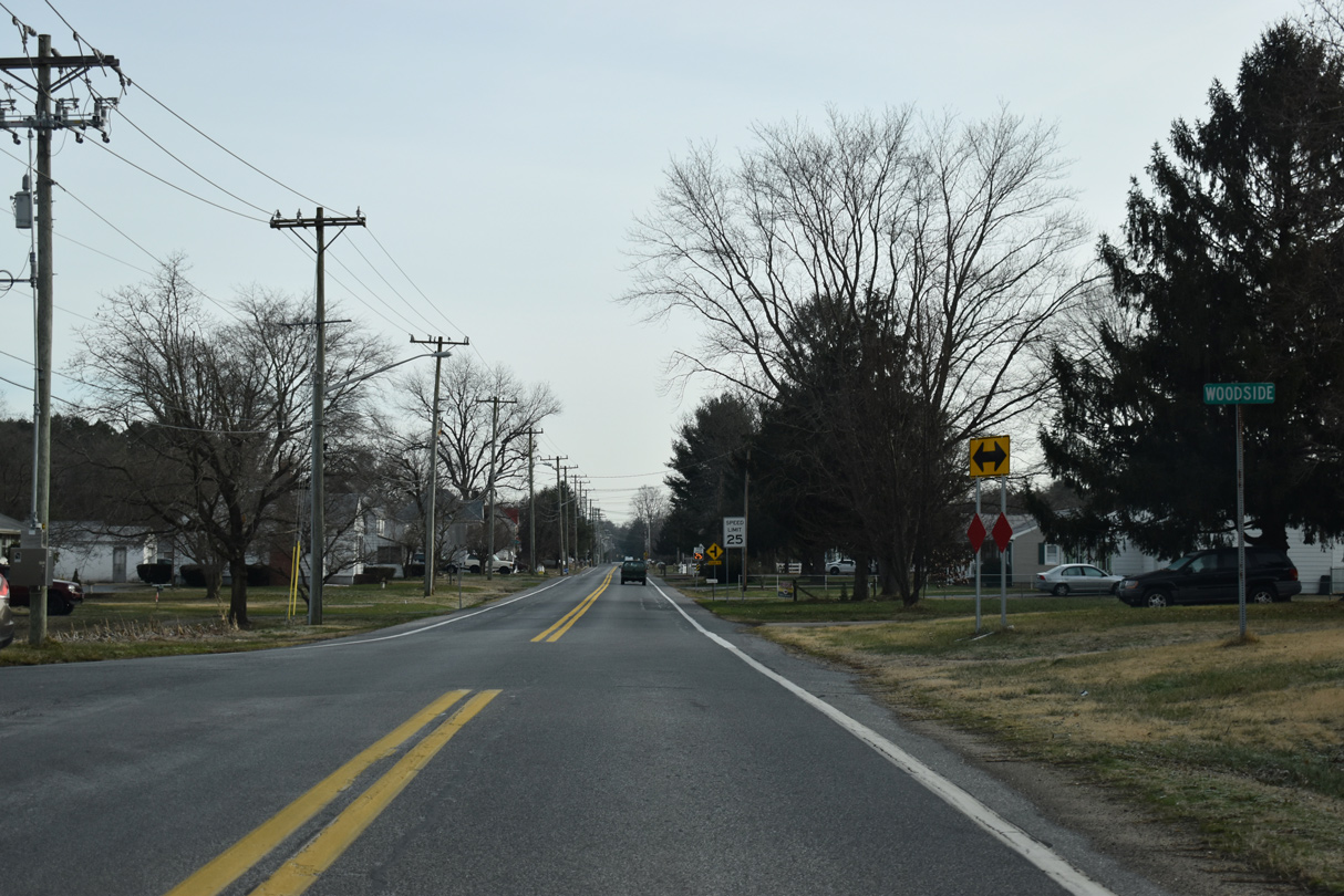
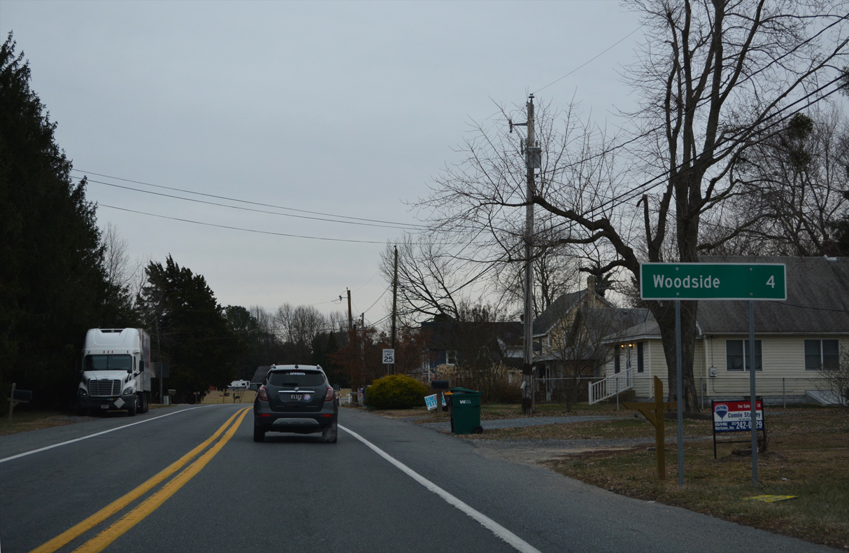
Main Street takes SR 10 Alt through the small town of Woodside.
12/19/20
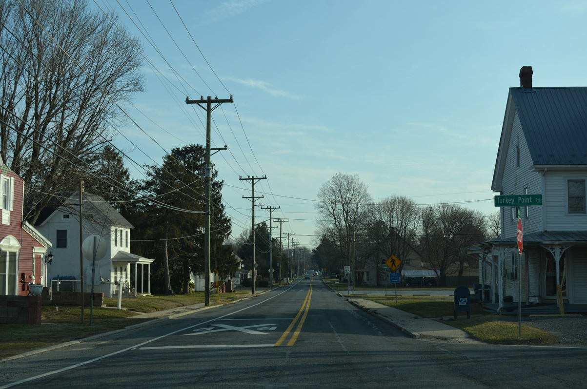
Turkey Point Road bee lines south from Main Street in Woodside to Main Street through the rural town of Viola.
01/16/17
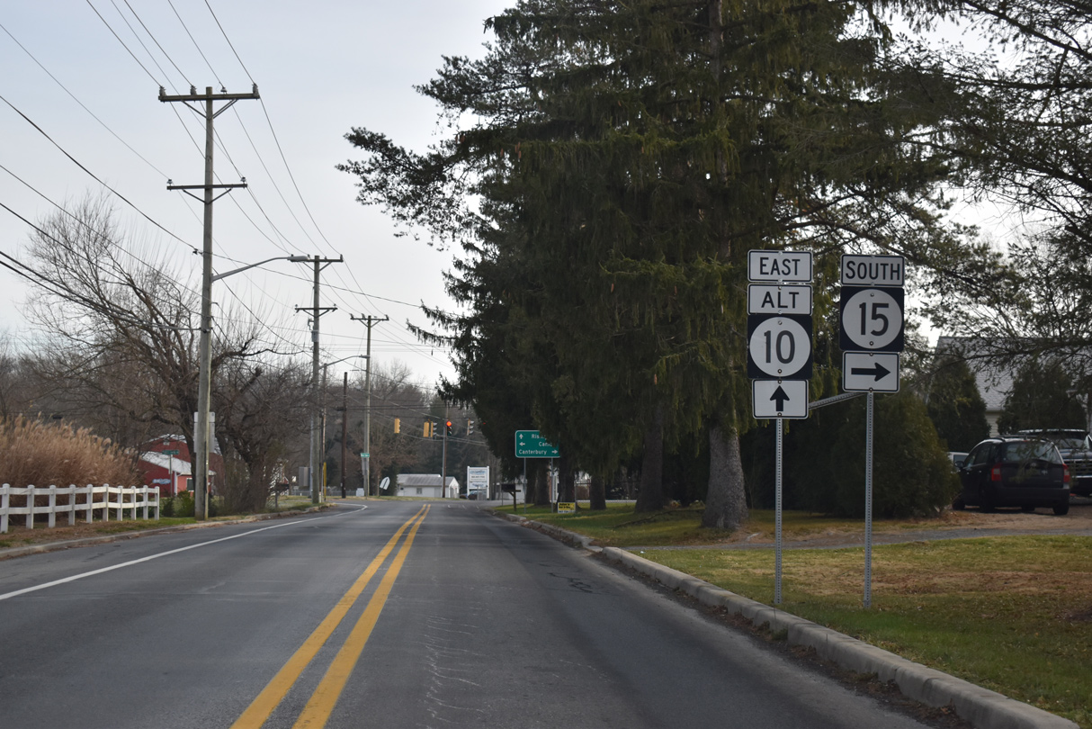
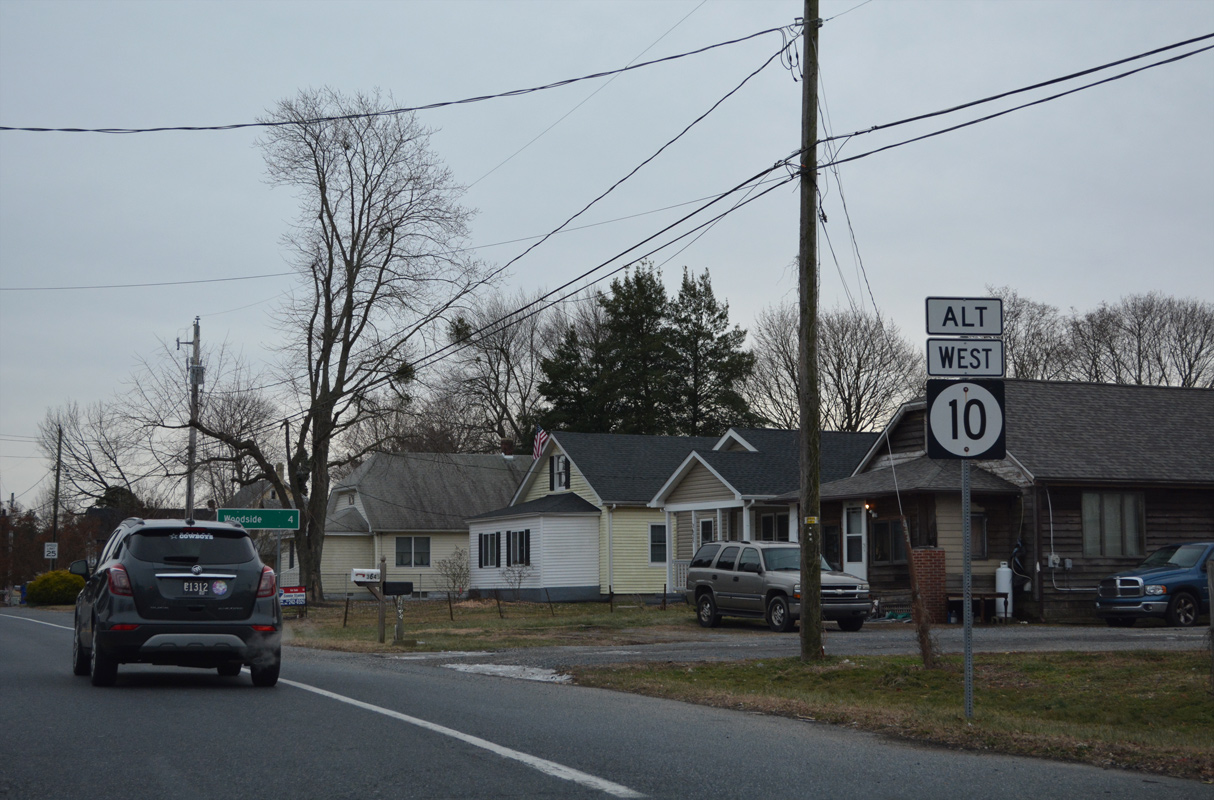
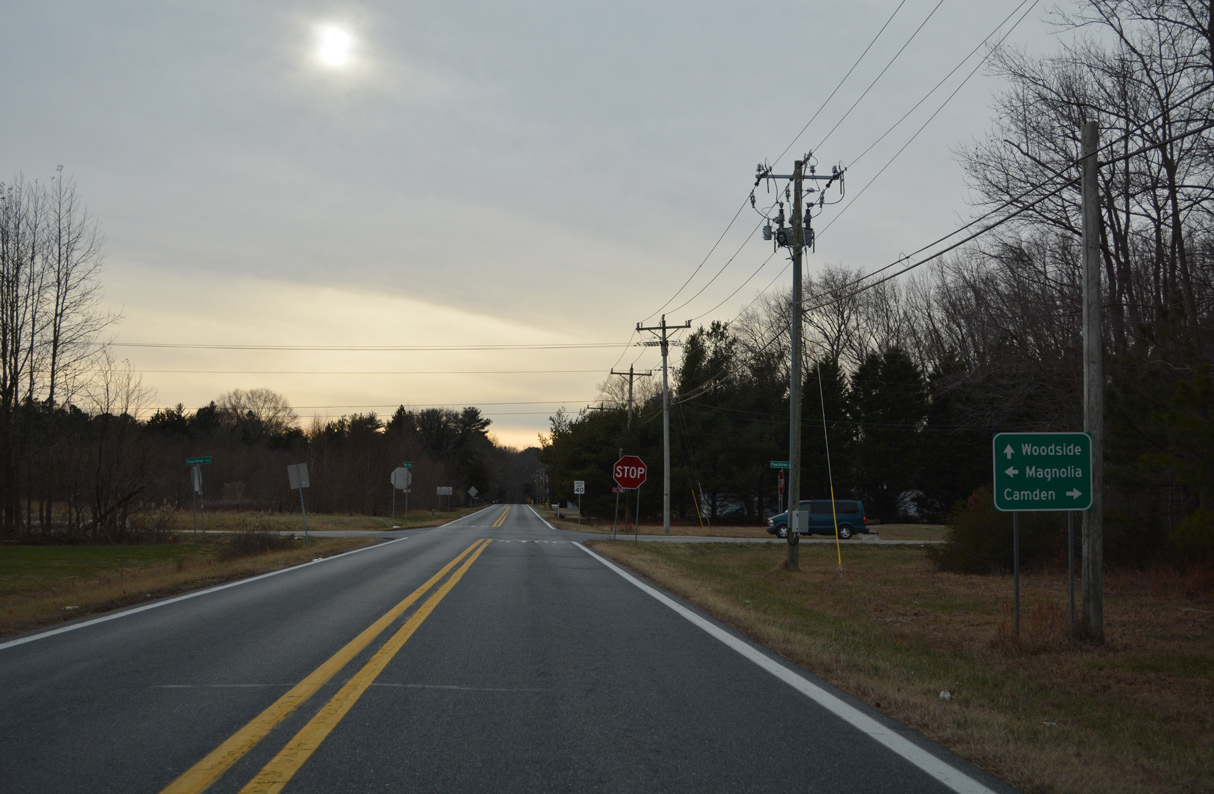
SR 10 Alternate and SR 15 partition at U.S. 13 Alternate (Upper King Road) in east Woodside.
12/27/25
Continuing east from U.S. 13 Alt and SR 15 (Upper King Road), SR 10 Alt follows Walnut Shade Road from Woodside to U.S. 13 (Dupont Highway).
12/27/25
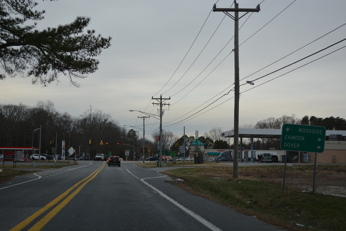
U.S. 13 (Dupont Highway) stays east of Woodside to meet SR 10 Alternate along a semi rural stretch.
12/27/25
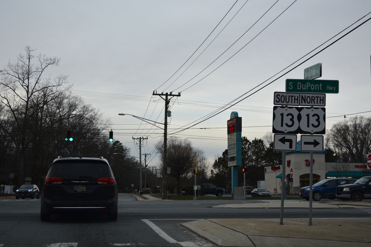
North from Walnut Shade Road, U.S. 13 travels north along an increasingly developed arterial to Camden and Dover. Southward, Dupont Highway meets SR 12 at Felton.
12/27/25
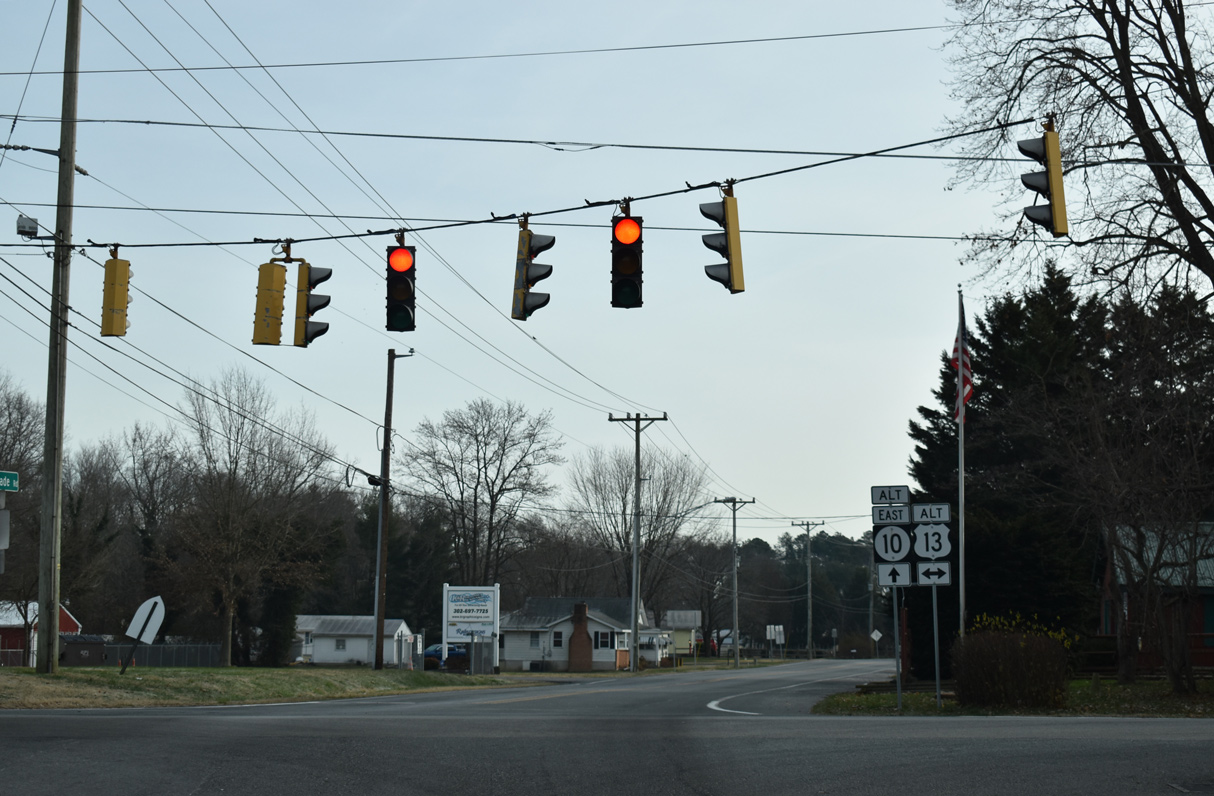
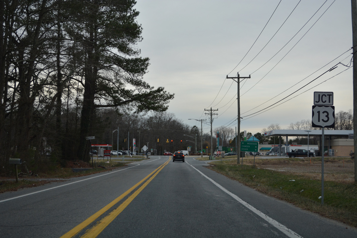
A confirming marker for SR 10 Alt stands at the southeast corner of the intersection with U.S. 13. The state route continues a short distance by Polytech High School.
12/27/25
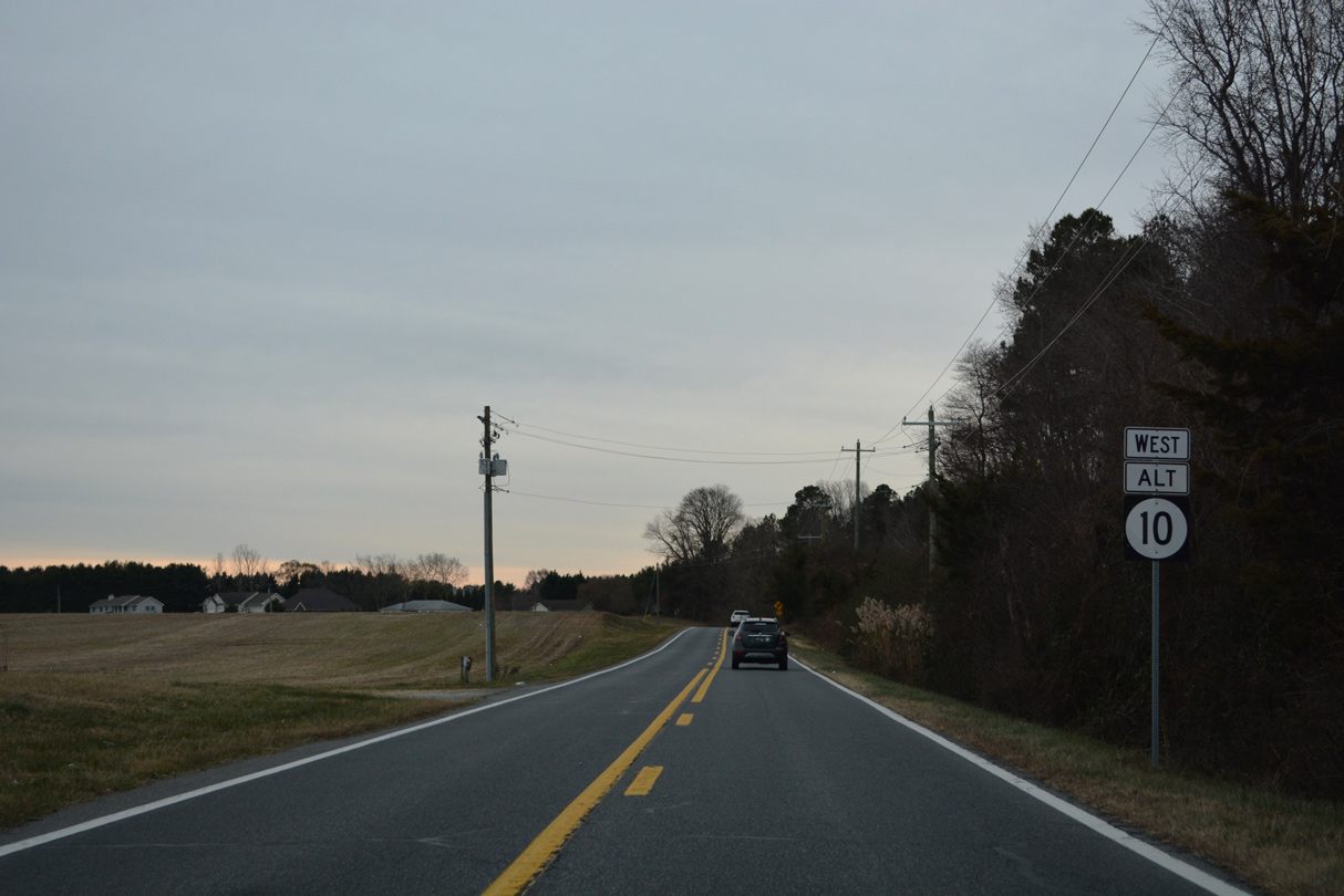
1.08 miles east of U.S. 13, SR 10 Alt (Walnut Shade Road) intersects Peachtree Run at a four way stop sign. Peachtree Run south to Millchop Lane leads motorists east toward the rural town of Magnolia.
12/27/25
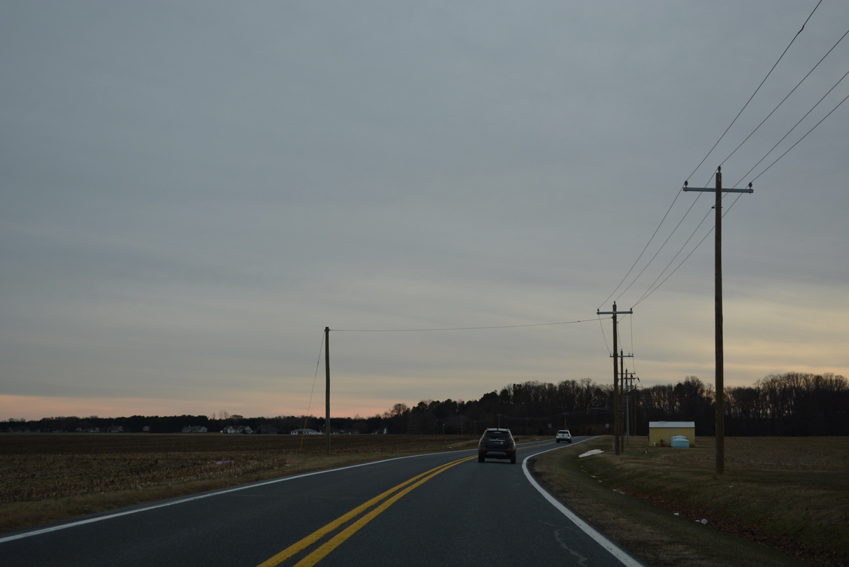
SR 10 Alternate (Walnut Shade Run) curves more northerly from Autumn Moon Lane by a remaining tract of farm land.
12/27/25
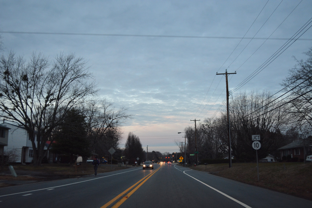
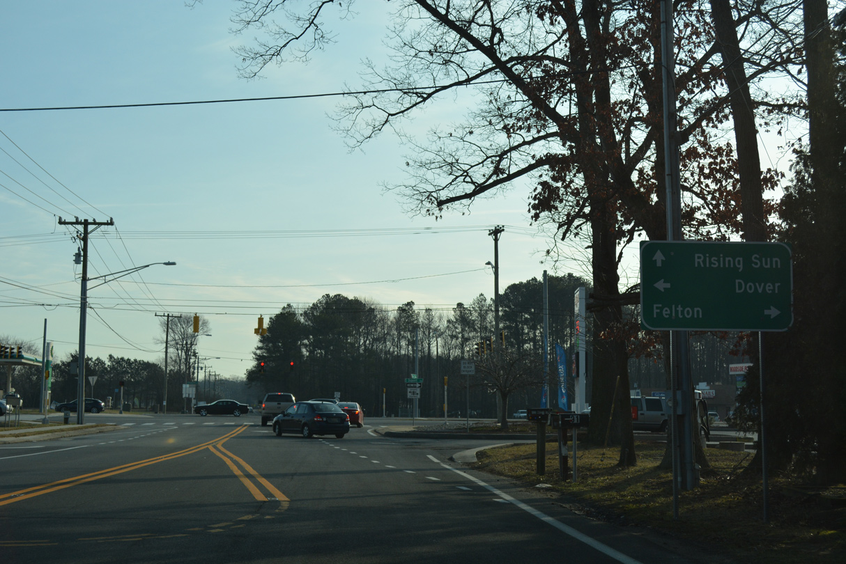
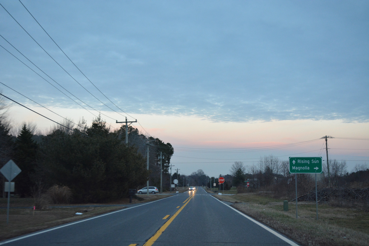
SR 10 Alternate (Walnut Shade Road) enters a five point intersection in Rising Sun. Rising Sun Road angles northwest through the community from nearby State Street to SR 10 (Lebanon Road) in Camden.
This guide sign was removed by 2023.
01/15/17
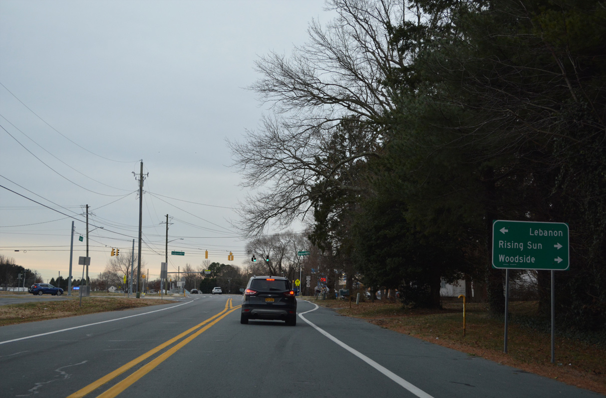
Voshells Mill Star Hill Road ties into the signalized intersection from the west, opposite Sorghum Mill Road east to Lebanon.
12/27/25
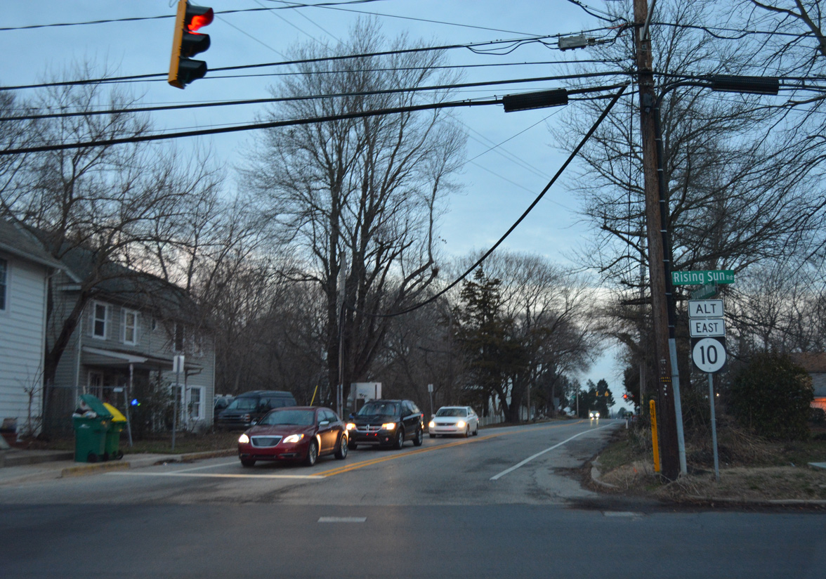
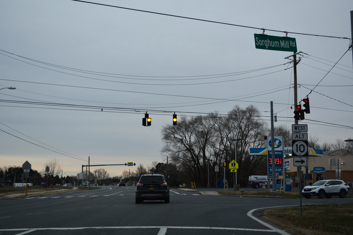
Rising Sun Road leads motorists south to Magnolia via State Street (old U.S. 113 Alt) while SR 10 Alt joins Sorghum Mill Road east.
12/27/25
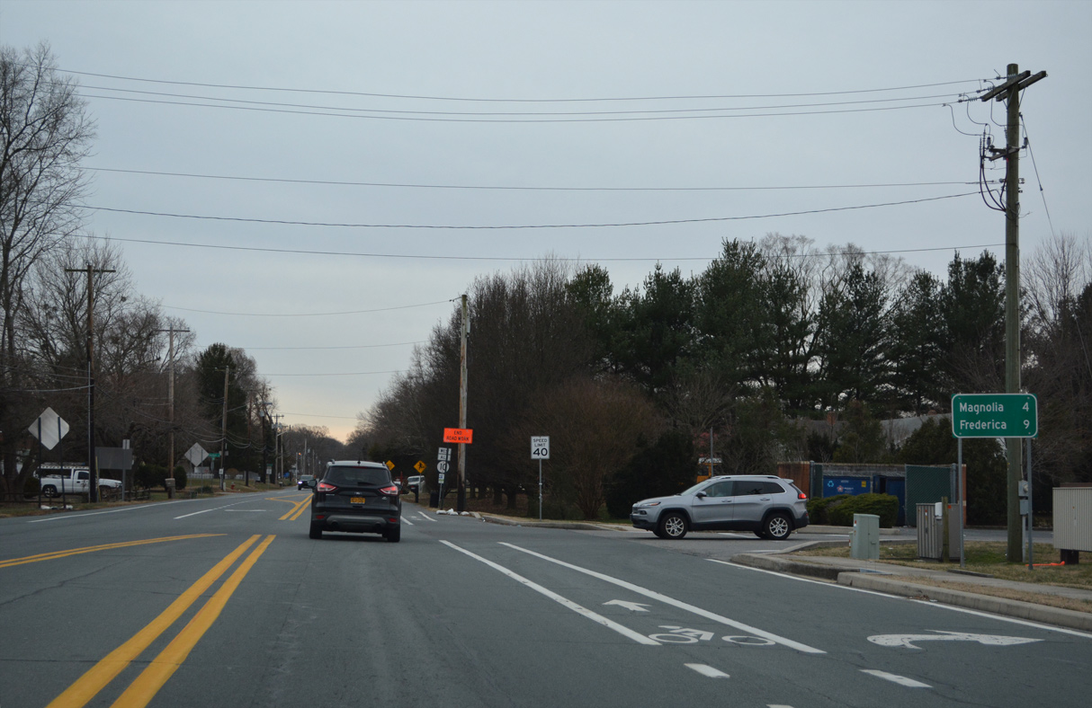
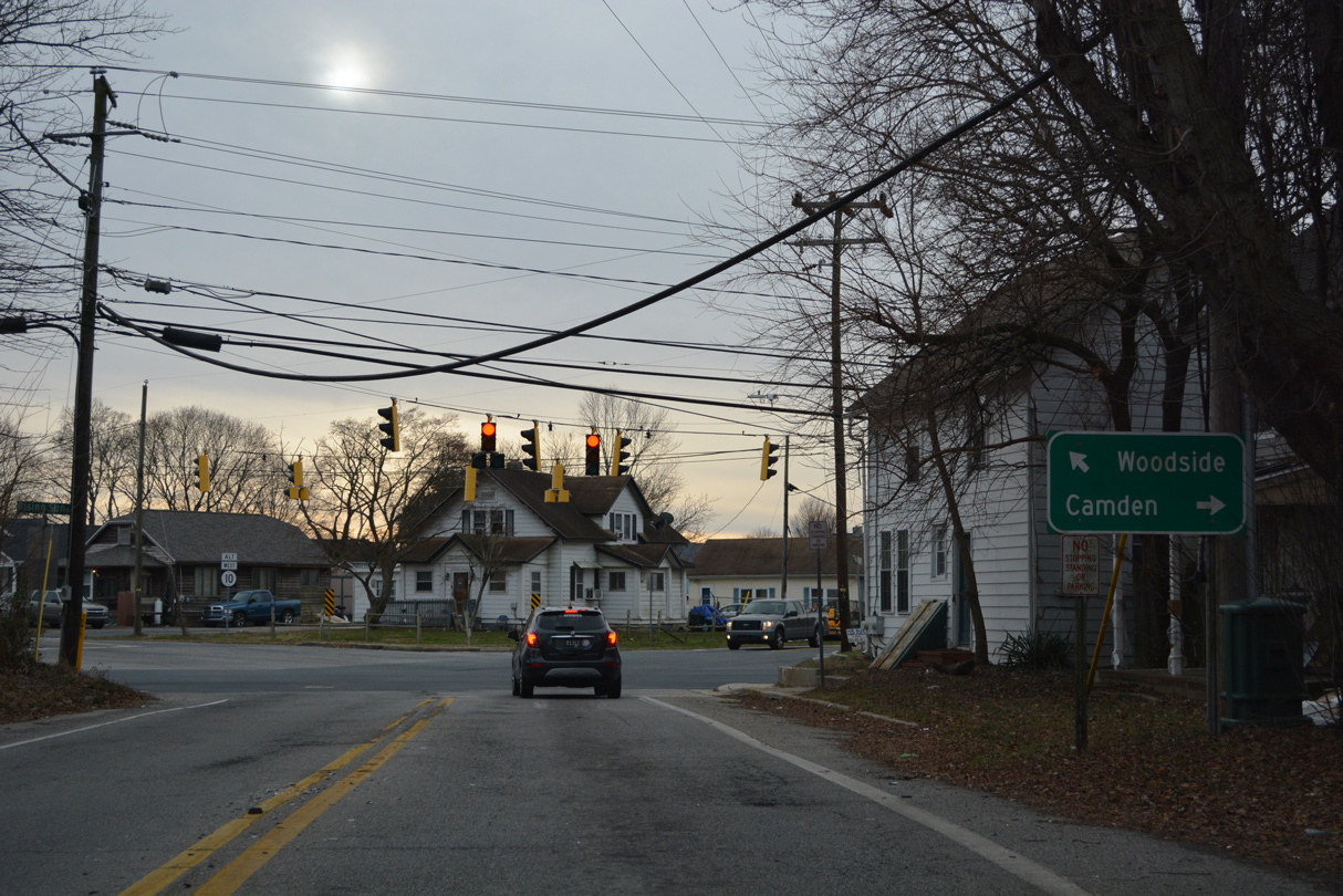
SR 10 Alt overtakes S State Street north from Sorghum Mill Road toward Dover. State Street was a part of U.S. 113 Alternate until it was decommissioned in 2004.
12/27/25
Tidbury Creek separates suburban areas along S State Street (SR 10 Alt).
12/27/25
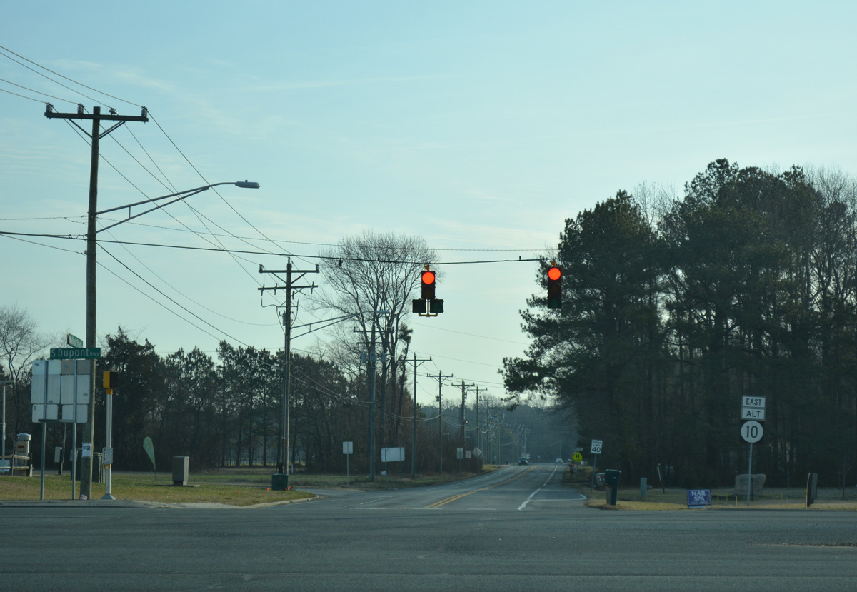
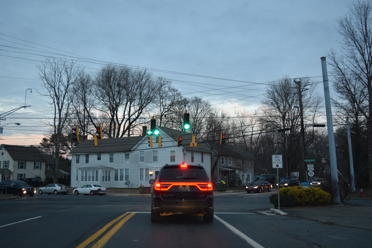
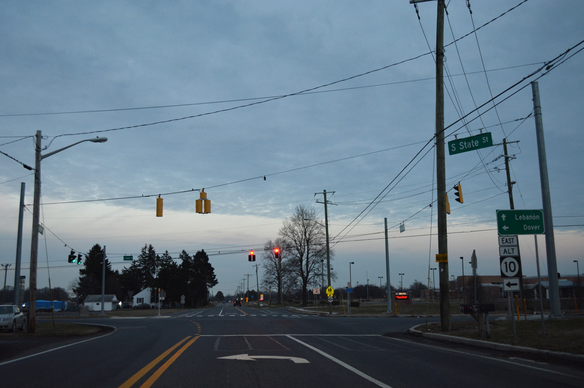
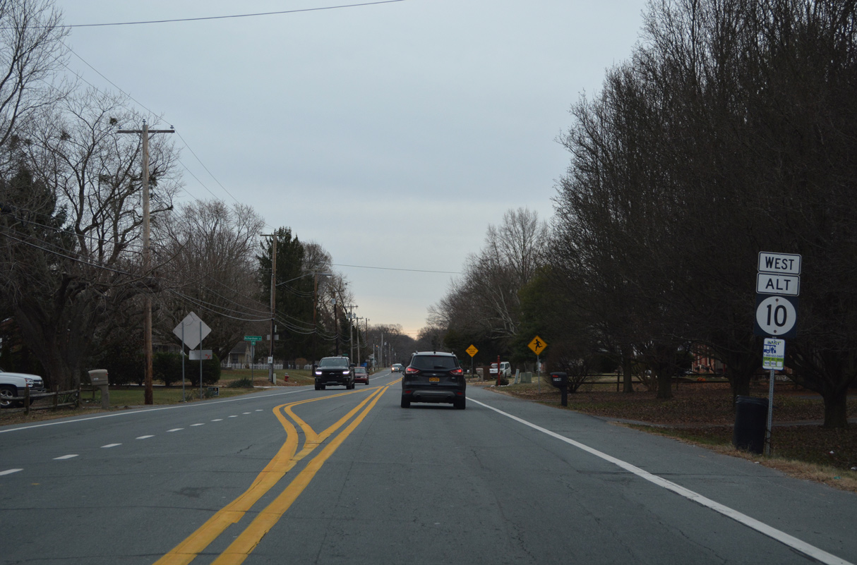
State Street expands to include turn lanes ahead of SR 10 (Lebanon Road). The junction shield for SR 10 was removed by 2023.
01/15/17
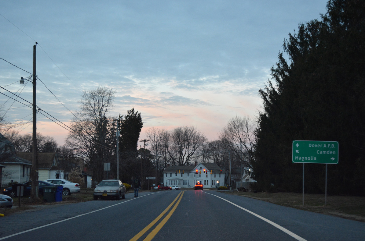
Lebanon Road constitutes an arterial route east to Dover Air Force Base and west to Camden. State Street extends north to Downtown Dover.
12/27/25
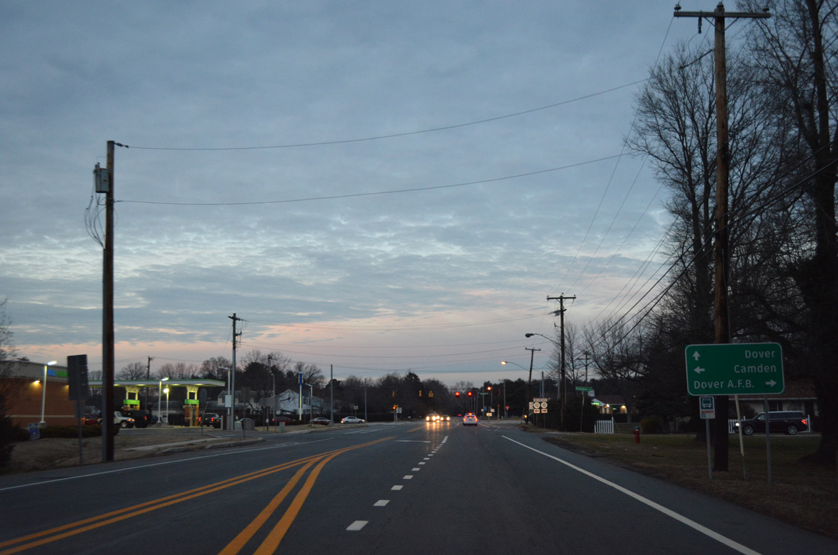
SR 10 arcs east from State Street another 1.73 miles to end at SR 1, Bay Road and Dover Air Force Base.
12/27/25
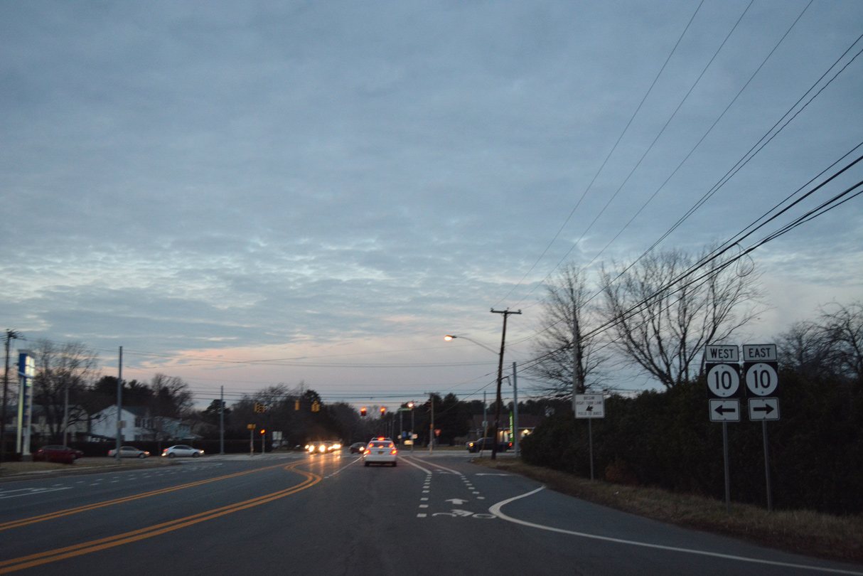
SR 10 ALT commences south along S State Street, the former alignment of U.S. 113 ALT south from Dover to Magnolia.
12/26/22
The first reassurance marker for SR 10 ALT stands along S State Street by Richardson Circle just south of SR 10 (Lebanon Road).
12/26/22
The bridge taking S State Street across Tidbury Creek dates back to 1919 (Baughn, n.d.).
12/26/22
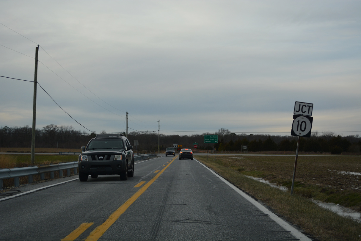
Sorghum Mill Road loops 1.80 miles south from SR 10 (Lebanon Road) to SR 10 ALT at Rising Sun.
12/26/22
SR 10 ALT turns onto Sorghum Mill Road for 0.15 miles to Walnut Shade Road. S State Street (Road 27) extends south to Main Street through Magnolia. Old U.S. 113 ALT concluded at U.S. 113/SR 1, 4.82 miles to the south at Little Heaven.
12/26/22
SR 10 ALT west next enters a five point intersection with Rising Sun Road (Road 29) and Voshells Mill Star Hill Road (Road 360).
12/26/22
South from Rising Sun, Walnut Shade Road leads SR 10 ALT westbound initially past The Orchards development.
12/26/22
The town of Woodside lies four miles to the southwest of Rising Sun along SR 10 ALT.
12/26/22
Walnut Shade Road crosses an area of remaining farmland south from Briarbrush Road (Road 367).
12/26/22
A reassurance shield for SR 10 ALT precedes Autumn Moon Lane (Road 369).
12/26/22
Peachtree Run (Road 105) constitutes a major collector running 1.82 miles south to Irish Hill Road (Road 31) west of Magnolia and north 2.35 miles to Voshells Mill Star Hill Road adjacent to U.S. 13 and the Camden town line.
12/26/22
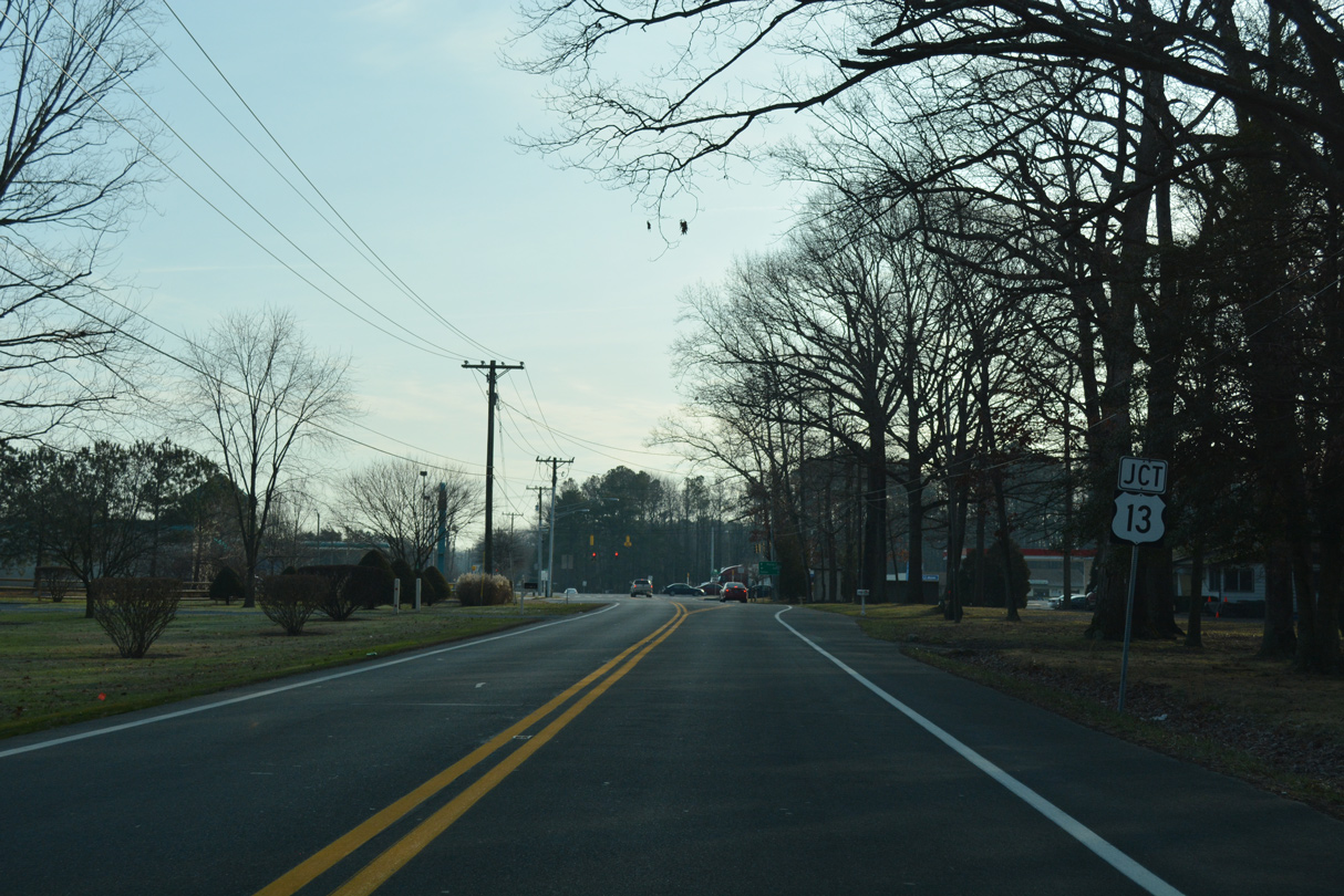
Continuing west by Polytech High School, SR 10 ALT (Walnut Shade Road) meets U.S. 13 (Dupont Highway).
12/26/22
U.S. 13 (Dupont Highway) comprises a commercial arterial north from the town of Camden into the capital city of Dover.
12/26/22
U.S. 13 (Dupont Highway) travels south from SR 10 ALT near Woodside to Harrington, Seaford and Salisbury, Maryland.
12/26/22
Entering the town of Woodside, SR 10 ALT (Walnut Shade Road) transitions to Main Street ahead of U.S. 13 ALT (Upper King Road).
12/26/22
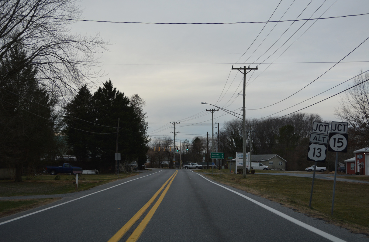
Sandtown lies nine miles west of U.S. 13 ALT/SR 15 (Upper King Road) along SR 10 near the Maryland state line.
12/26/22
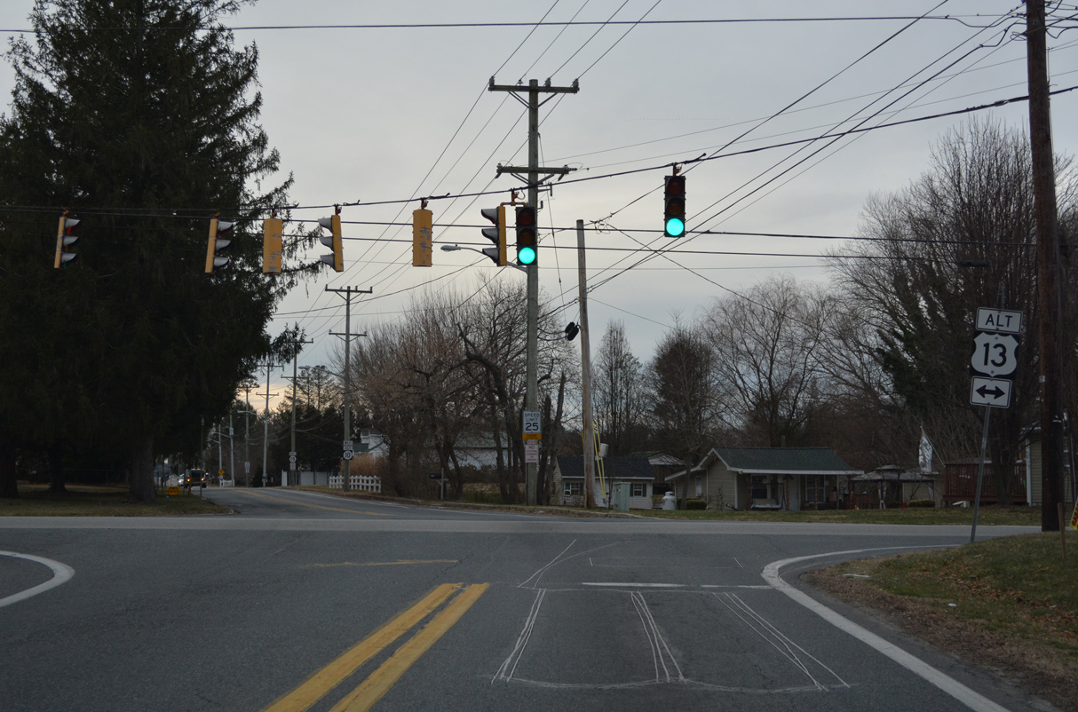
Although unmarked from SR 10 ALT west, SR 15 overlaps with U.S. 13 ALT south 1.76 miles to U.S. 13 and Canterbury. U.S. 13 ALT continues north to Main Street in the town of Camden.
12/26/22
 North
North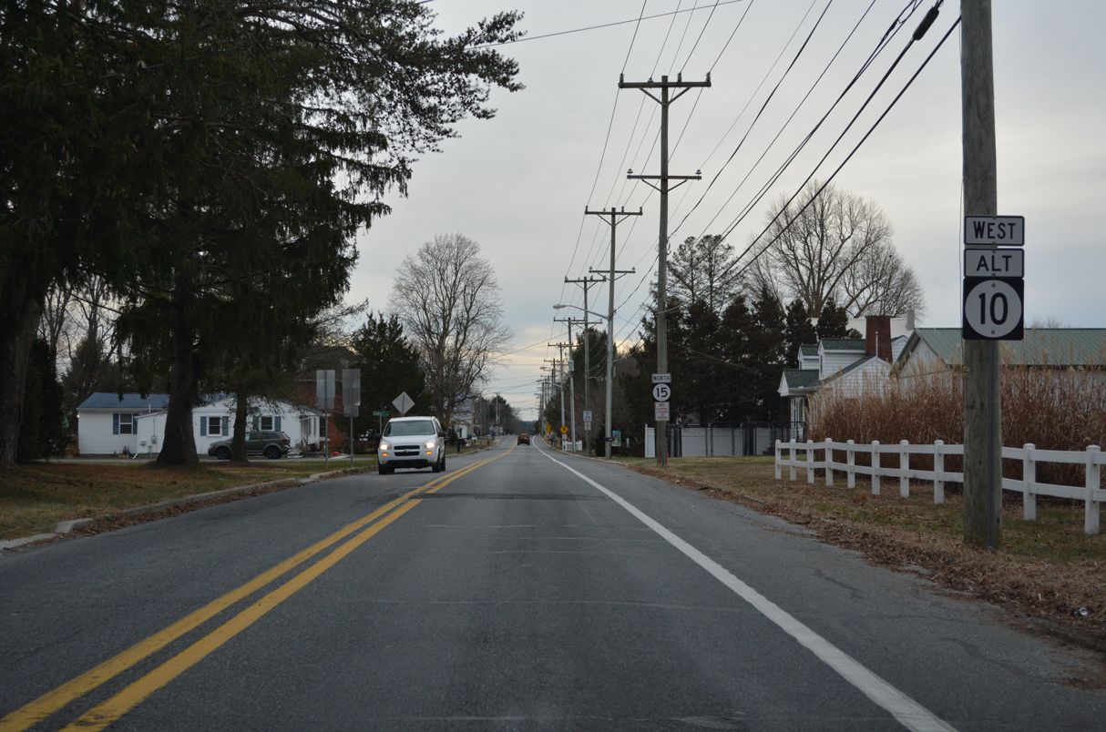
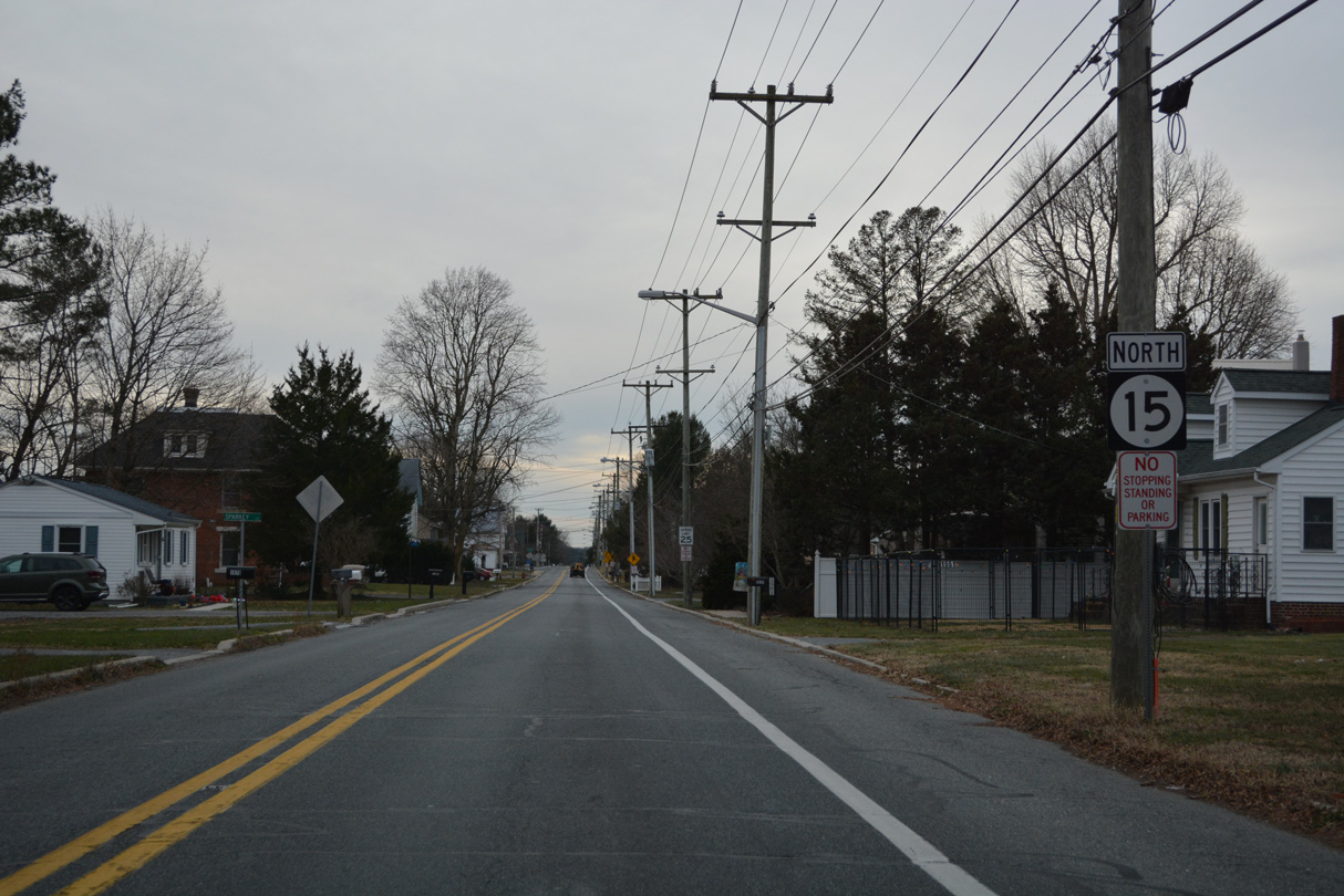
SR 15 overlaps with SR 10 ALT (Main Street) 0.51 miles west from U.S. 13 ALT (Upper King Road) to Dundee Road in Woodside.
12/26/22
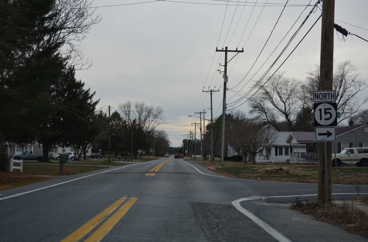
SR 15 splits with SR 10 ALT for Dundee Road north toward the town of Wyoming.
12/26/22
There are no reassurance markers for SR 10 Alt posted west of the split with SR 15 (Dundee Road). This scene looks at Henry Cowgill Road west of Woodside.
01/16/17

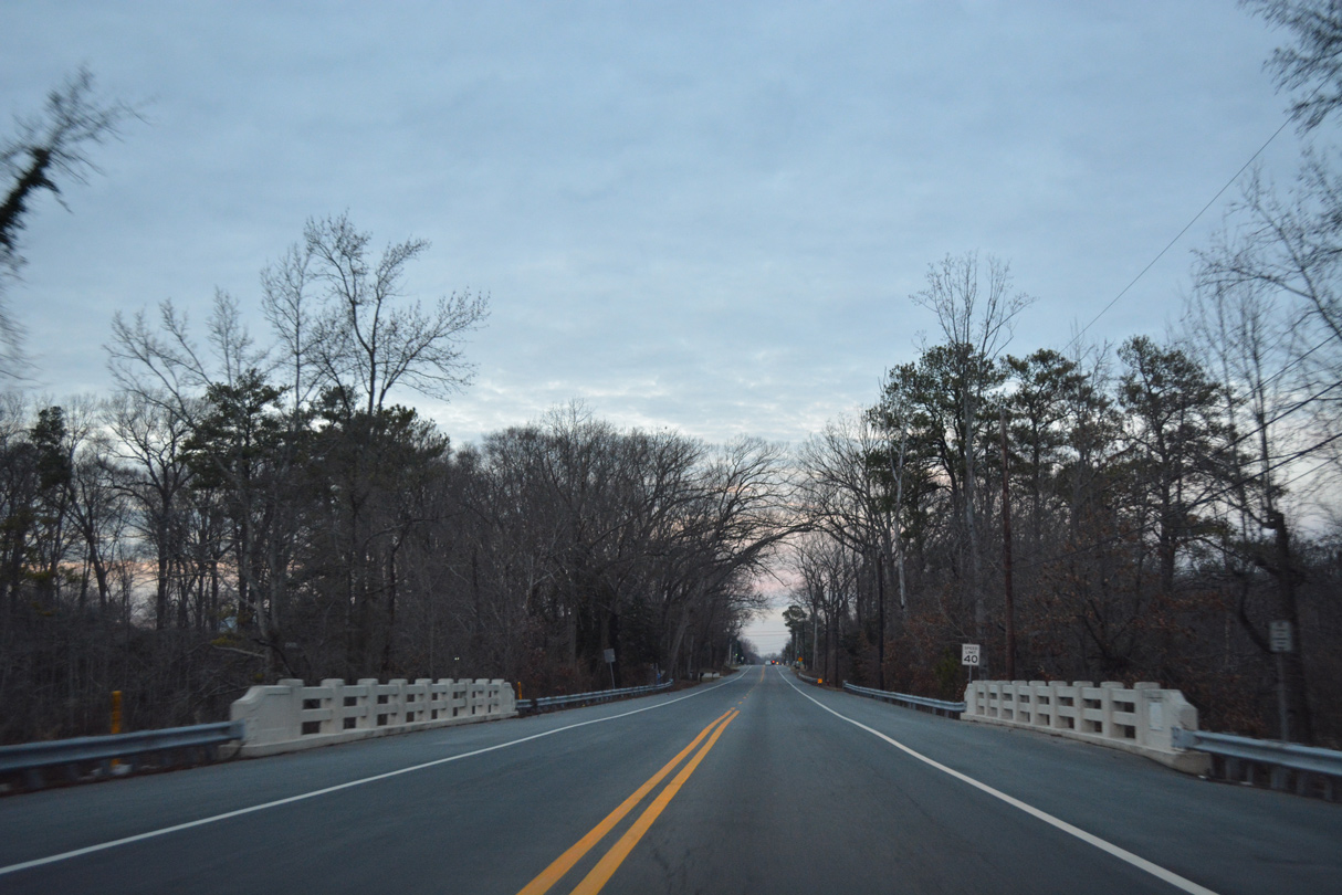
SR 10A (Henry Cowgill Road) crosses Tidbury Creek west of Steeles Ridge Road (Rd 232).
12/18/20
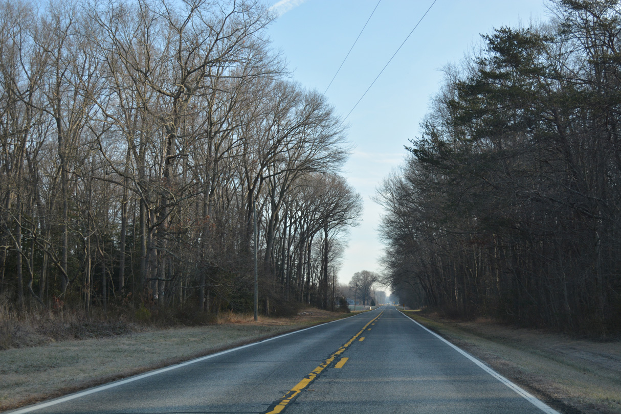
Open farm land gives way to forest stands along Henry Cowgill Road west at Farm Lane.
01/16/17
Approaching Berrytown Road on SR 10 Alternate (Henry Cowgill Road) west. Berrytown Road heads south to Norm G. Wilder State Wildlife Area.
01/16/17

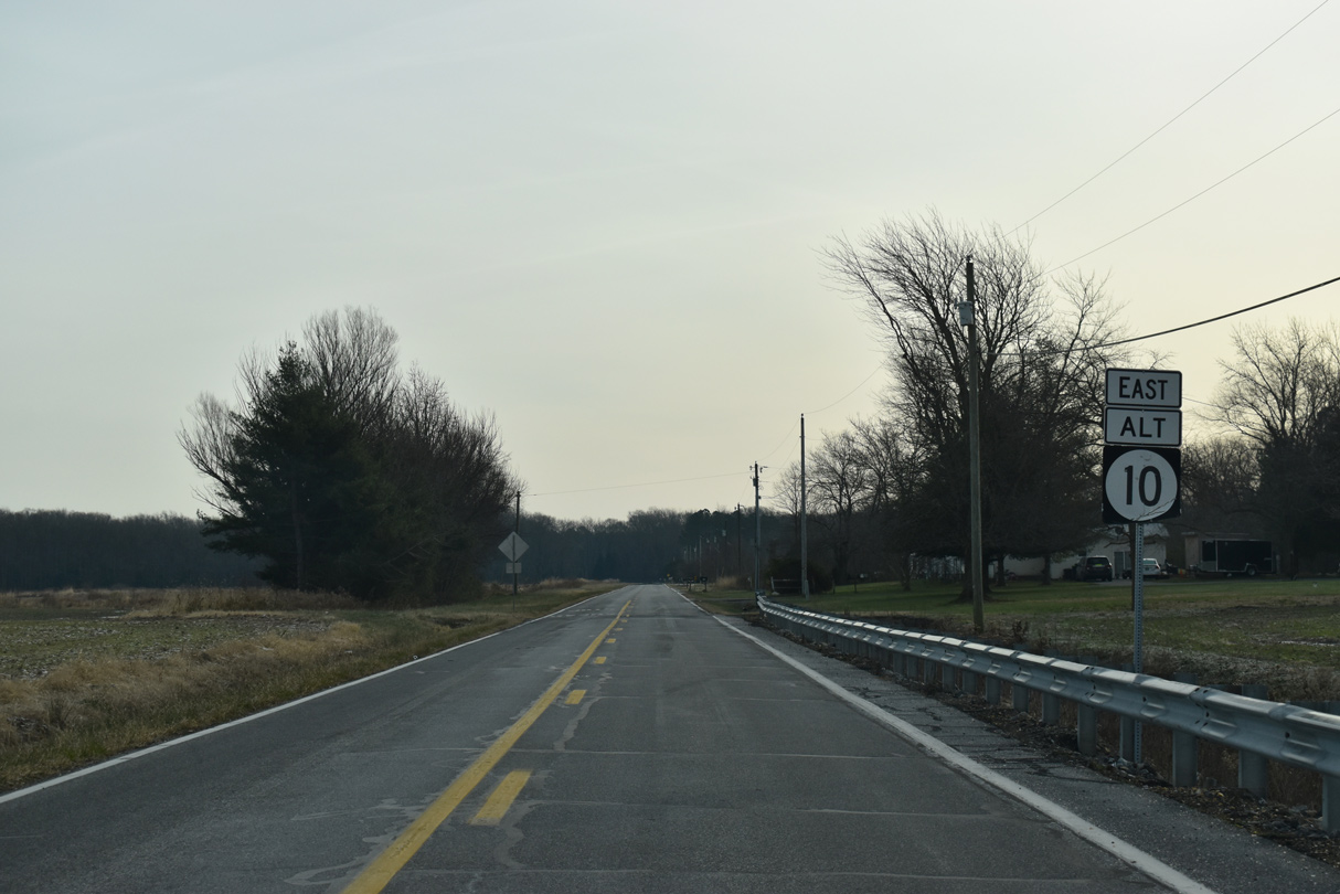
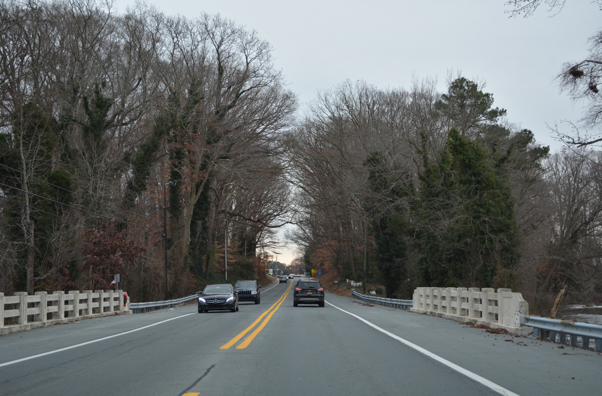
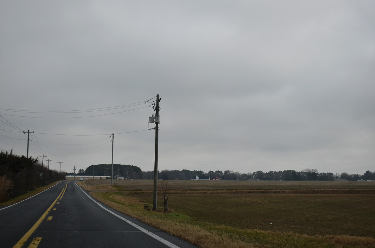
Henry Cowgill Road makes a sweeping curve west from Cow Heron Drain to SR 10.
01/16/17
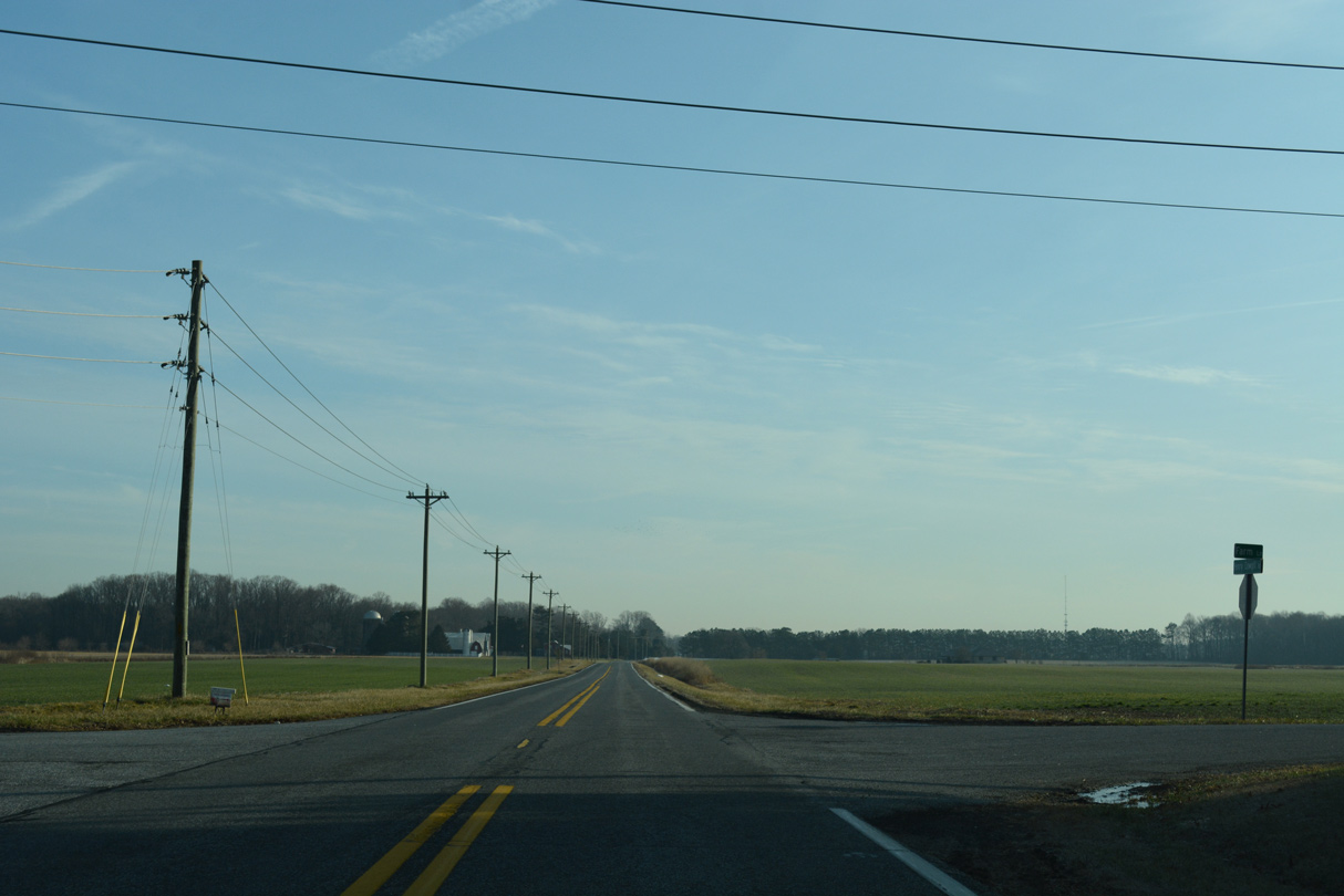
SR 10 Alternate concludes at a rural intersection with SR 10 (Willow Grove Road) across from a tract of Norman G. Wildlife Area.
12/23/24
SR 10 heads northeast one mile to the settlement of Willow Grove and 6.7 miles to Downtown Camden.
12/26/22
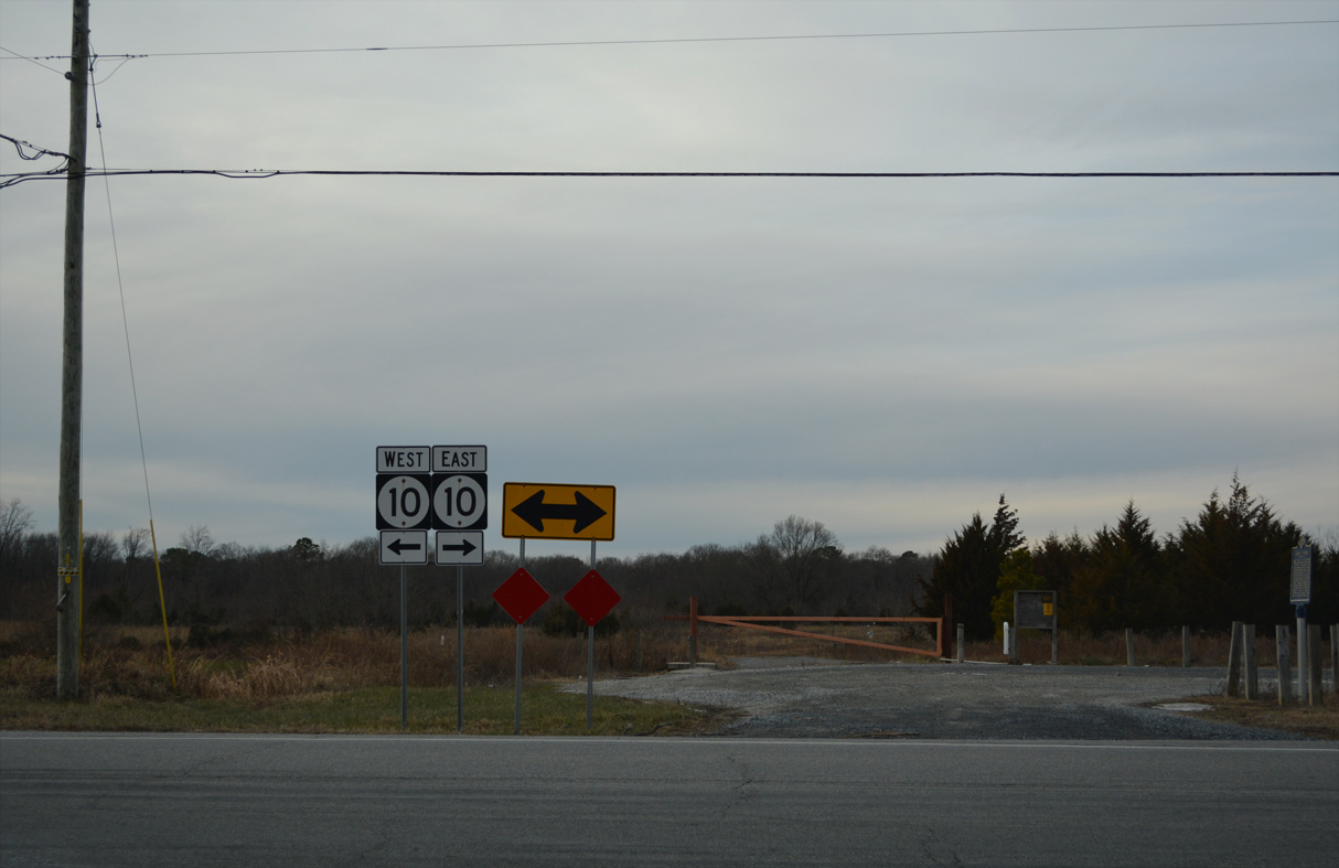
SR 10 (Willow Grove Road) travels one mile west to Petersburg and 6.2 miles to MD 287 beyond Sandtown.
12/18/20
References:
Baughn, J. (n.d.). SOUTH STATE ST over TIDBURY BRANCH. BridgeReports.com. https://bridgereports.com/1077377
Photo Credits:
- Alex Nitzman: 01/15/17, 01/16/17, 12/18/20, 12/19/20, 12/26/22, 12/23/24, 12/27/25
Connect with:
Page Updated Thursday January 08, 2026.