
State Route 30 North

 East
East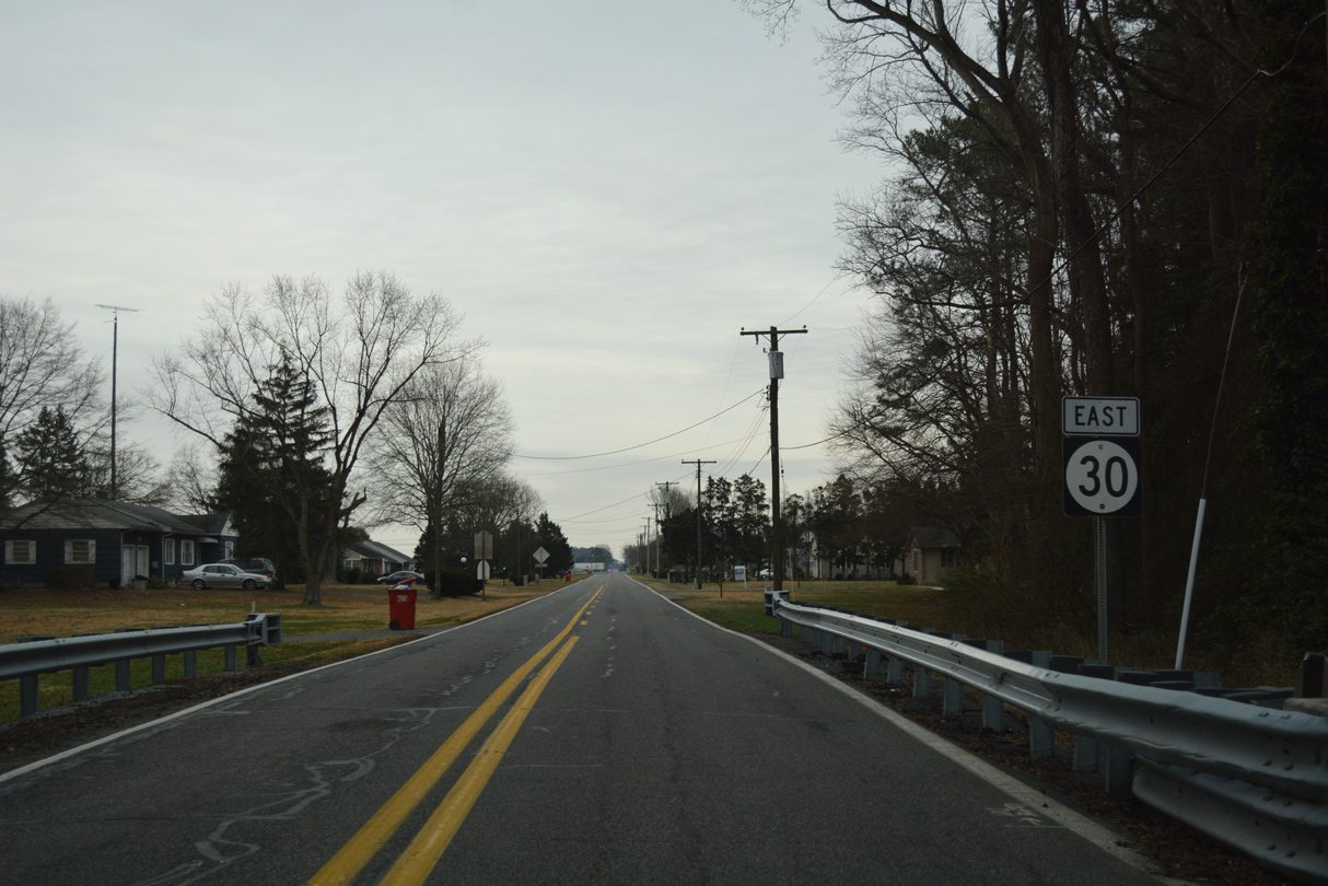
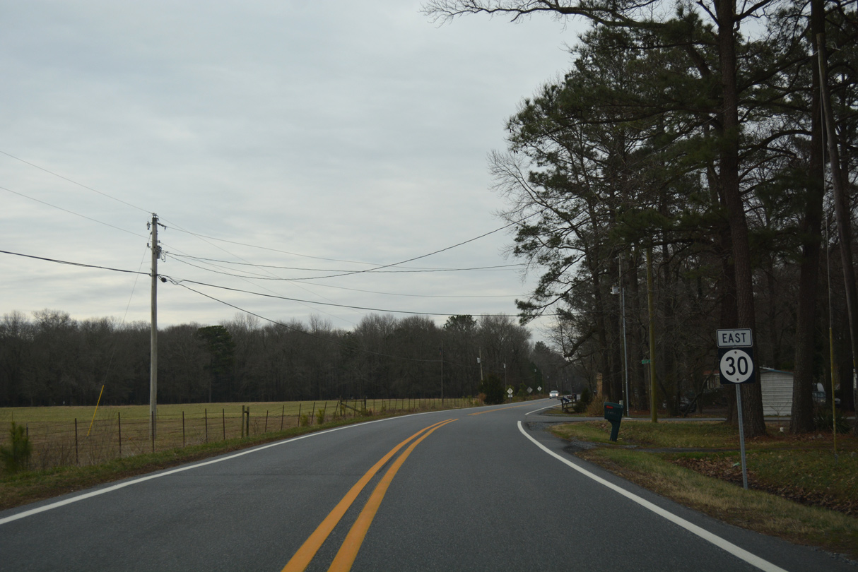
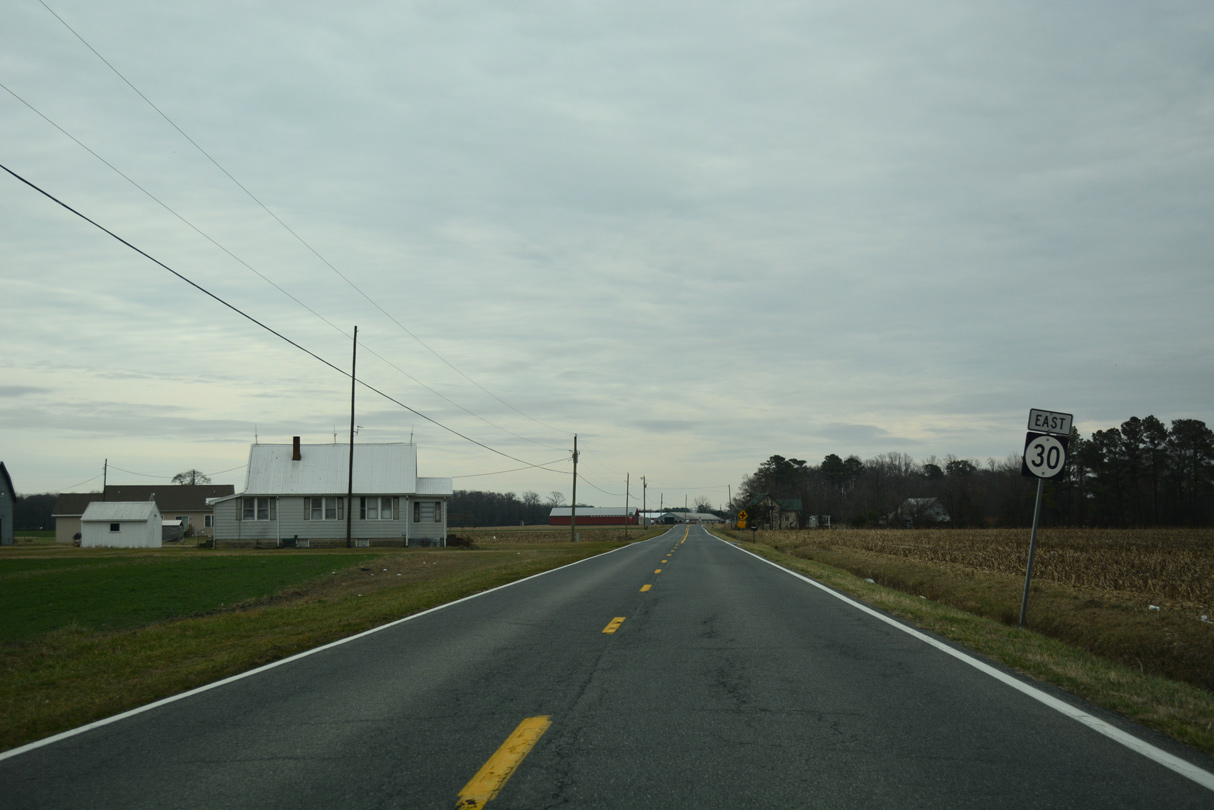
The first reassurance marker for SR 30 appeared just past Bistate Boulevard and Holly Branch along Dorothy Road east.
01/16/17
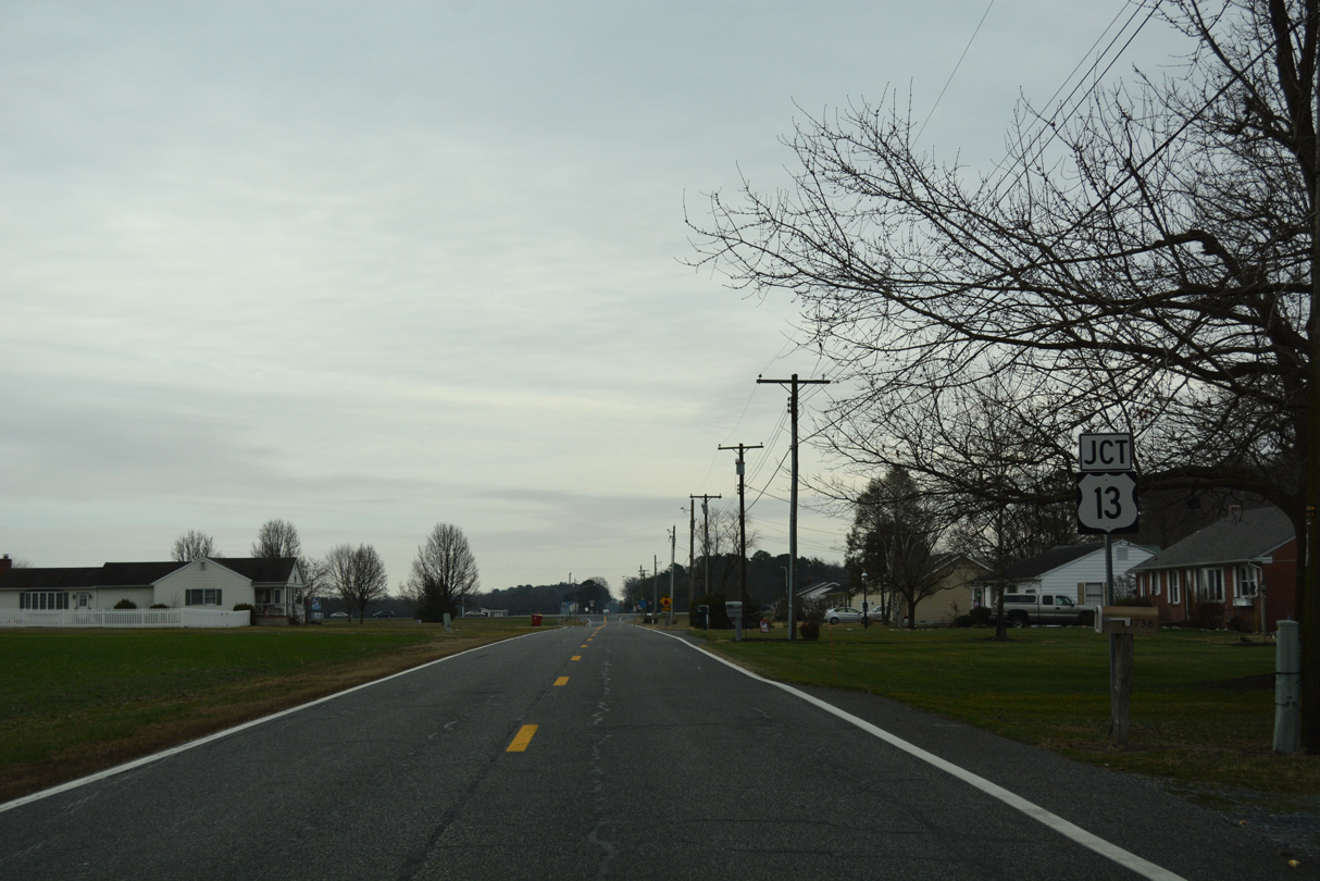
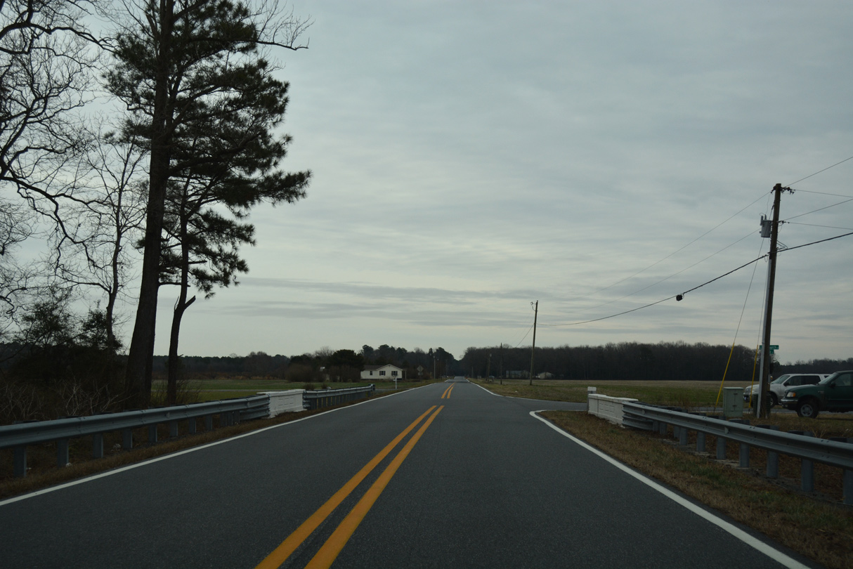
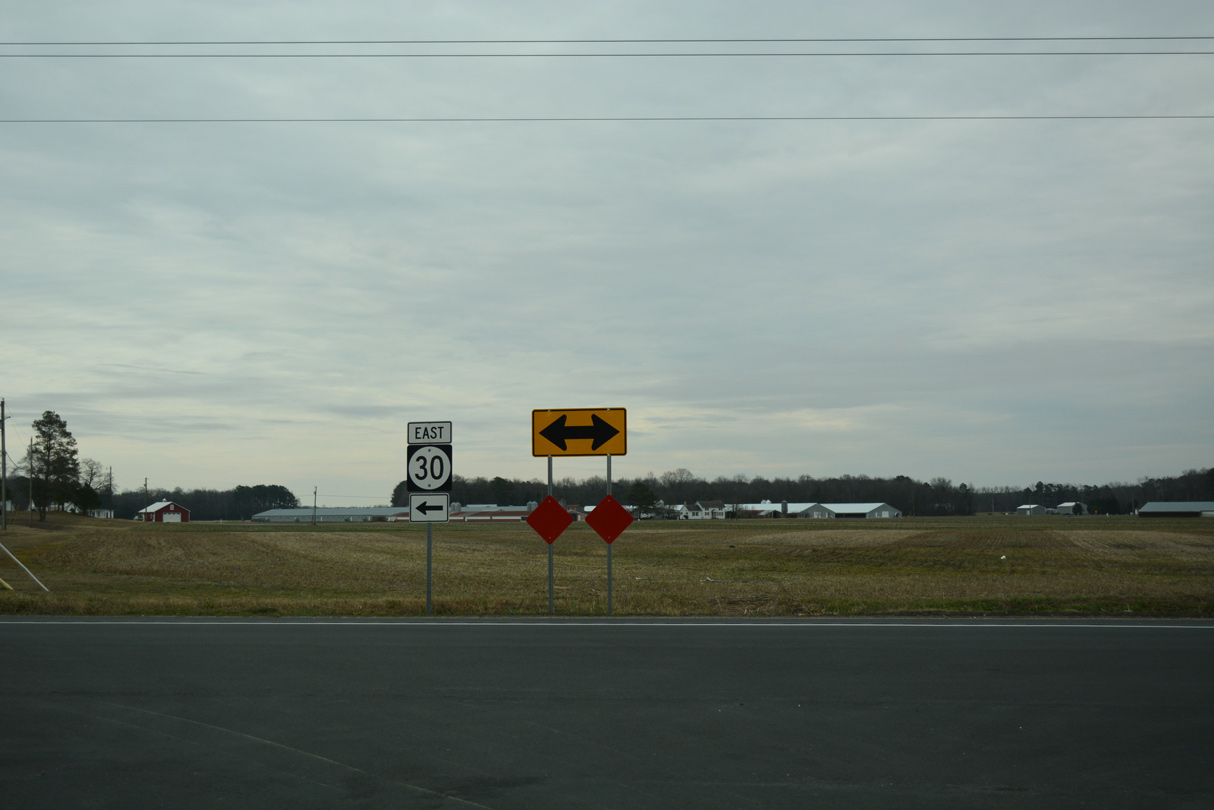
Dorothy Road lead SR 30 east from Bacons by the Little Acres neighborhood to intersect U.S. 13 at Whitesville Road. U.S. 13 (Sussex Highway) travels south to Delmar and Salisburg, Maryland and north to Laurel and Seaford.
01/16/17
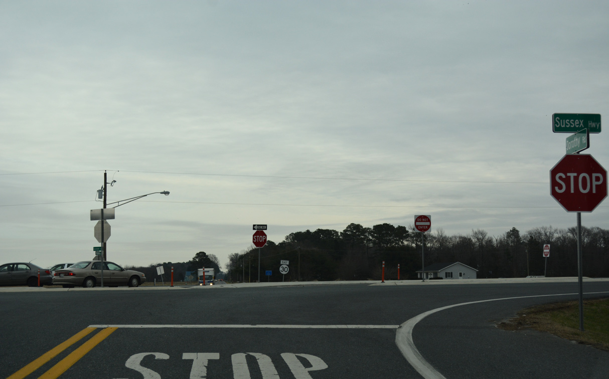
Construction between February 29, 2016 and May 19, 2016 reconfigured the conventional intersection with U.S. 13 to use J-turns.1 With cross traffic eliminated at U.S. 13, navigating along the mainline of SR 30 required drivers to use U-turns along Sussex Highway to continue east or west.
01/16/17

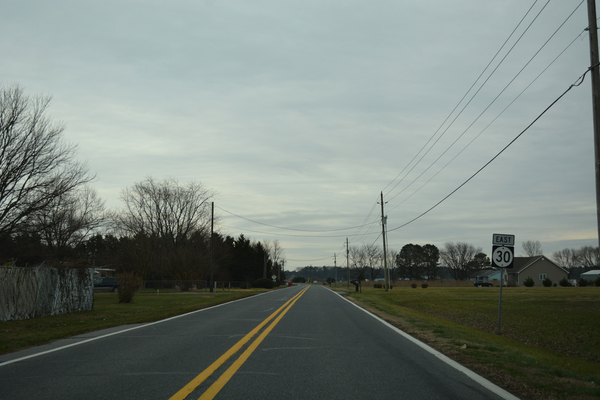
Beyond U.S. 13 (Sussex Highway), SR 30 took Whitesville Road by a hodgepodge of farm land and rural subdivisions to Smith Hill and Ward.
01/16/17
Robin Hood Road intersects Whitesville Road north from the outskirts of Delmar ahead of this former eastbound reassurance marker.
01/16/17
Old SR 30 (Whitesville Road) eastbound at Villa Park Estates and the rural community of Ward.
01/16/17
Line Church Road branches south from Whitesville Road at the crossing of Raccoon Prong to Whitesville and MSR 54 along the Maryland state line.
01/16/17
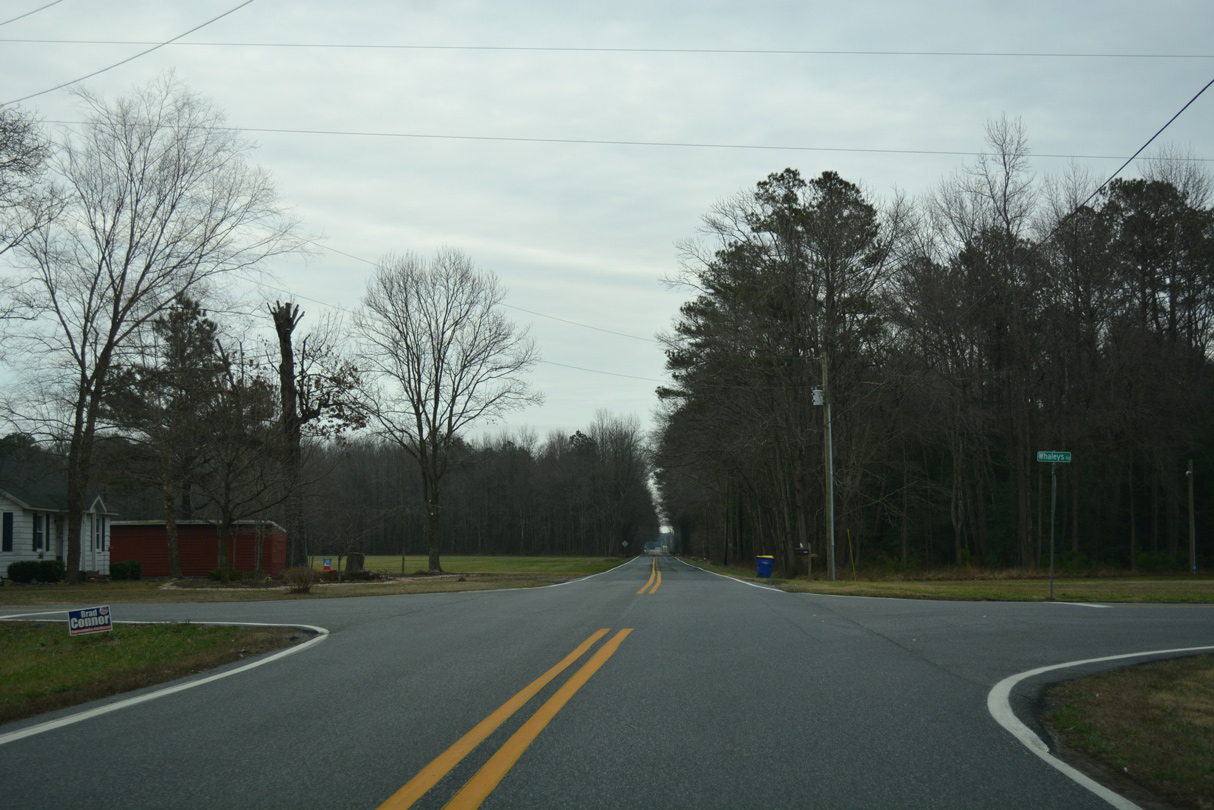
Whaleys Road heads north from Whitesville to intersect Whitesville Road en route to Trap Pond State Park.
01/16/17
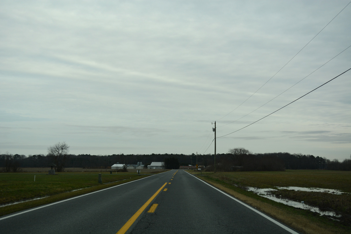
Whitesville Road (old SR 30) makes a gradual southeastern turn beyond the North Fork of Green Run to SR 26/54 (Millsboro Highway).
01/16/17
A reassurance shield for SR 30 east stood along Whitesville Road between Hastings and Lowes Roads.
01/16/17
Whitesville Road ends where SR 30 combined with the overlap taking SR 26/54 from MD 353 and the Maryland state line north of Pittsville.
01/16/17
East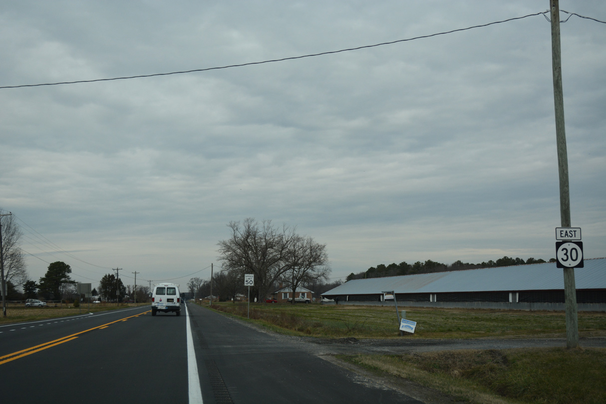
0.92 miles in length, the independent section of SR 30 along Millsboro Highway connected SR 26 with SR 24. 5,763 vehicles per day (vpd) were recorded by DelDOT on this segment of Millsboro Highway (Road 25) in 2015.
01/16/17
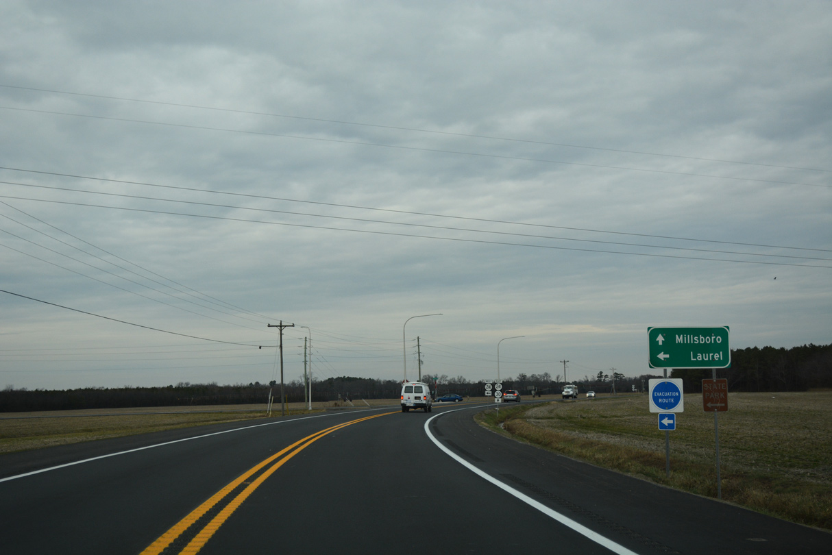
Forthcoming SR 24 follows a rural route west between Midlands Wildlife Area, Trap Pond State Park and James Branch Nature Preserve to Laurel.
01/16/17
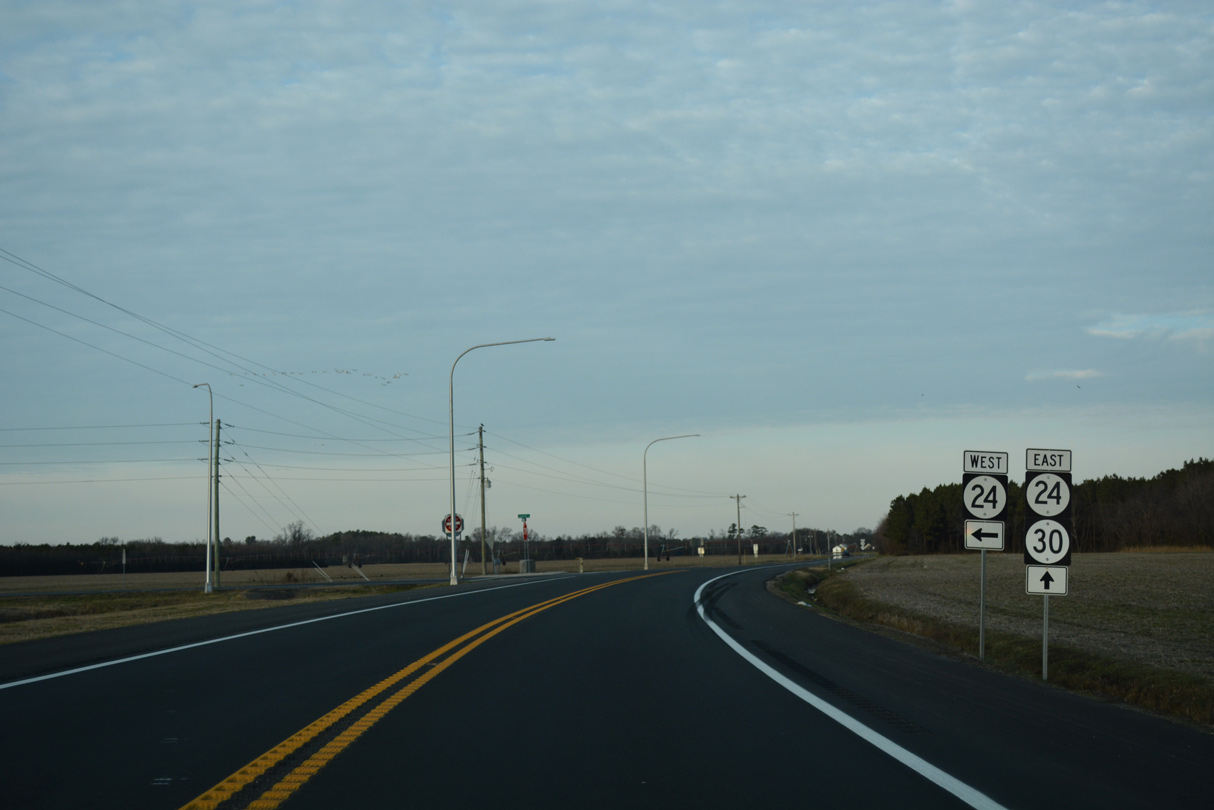
SR 24 (Laurel Road) travels 11.36 miles west through Whaleys Crossroads, Pepper and Sandy Fork to U.S. 13 (Sussex Highway) outside the town of Laurel.
01/15/17
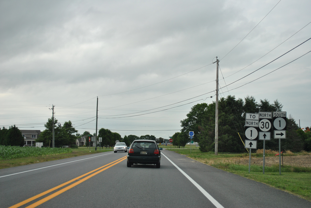
North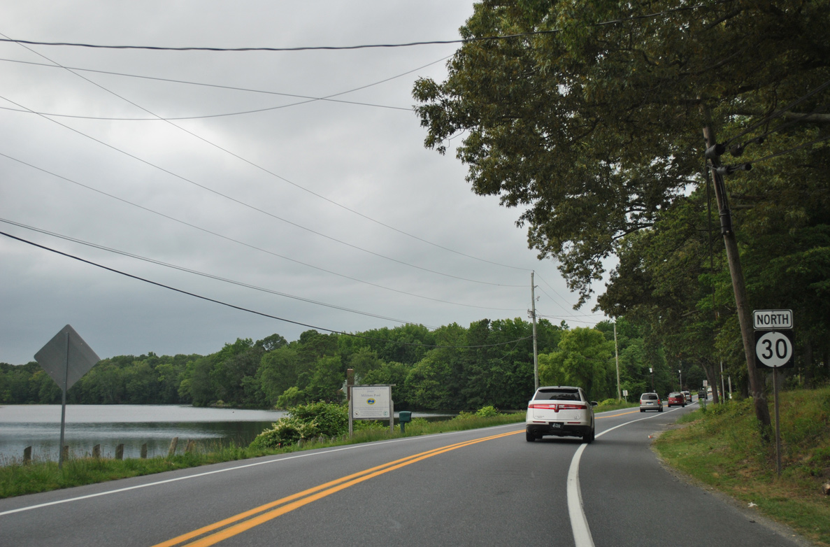
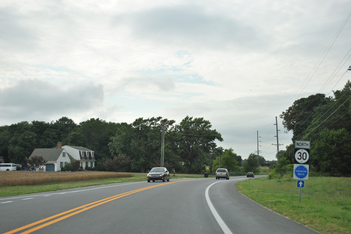
Gravel Hill Road hugs Millsboro Pond to the east as SR 30 north leads away from SR 24 to Mount Joy.
06/18/12
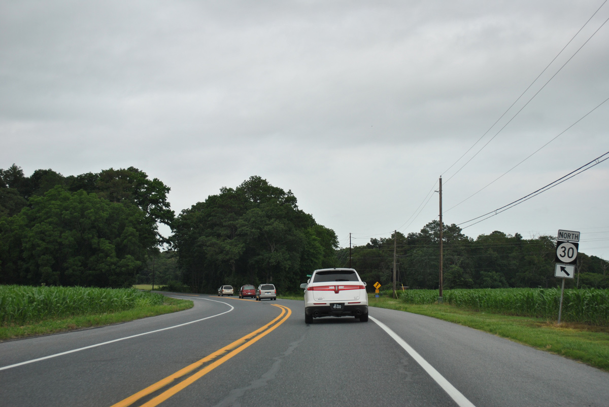
Doc Frame Road angles northeast from SR 30 (Gravel Hill Road) north to Mount Joy Road.
06/18/12
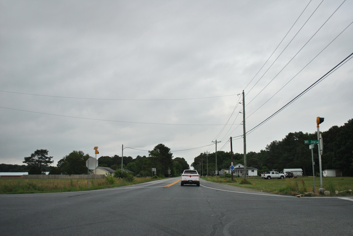
A four-way stop sign controls traffic movements between SR 30 and Mount Joy Road. Mt. Joy Road heads west to Doe Bridge Nature Preserve and Morris Hill and east to SR 5 and 23 near Oak Orchard.
06/18/12
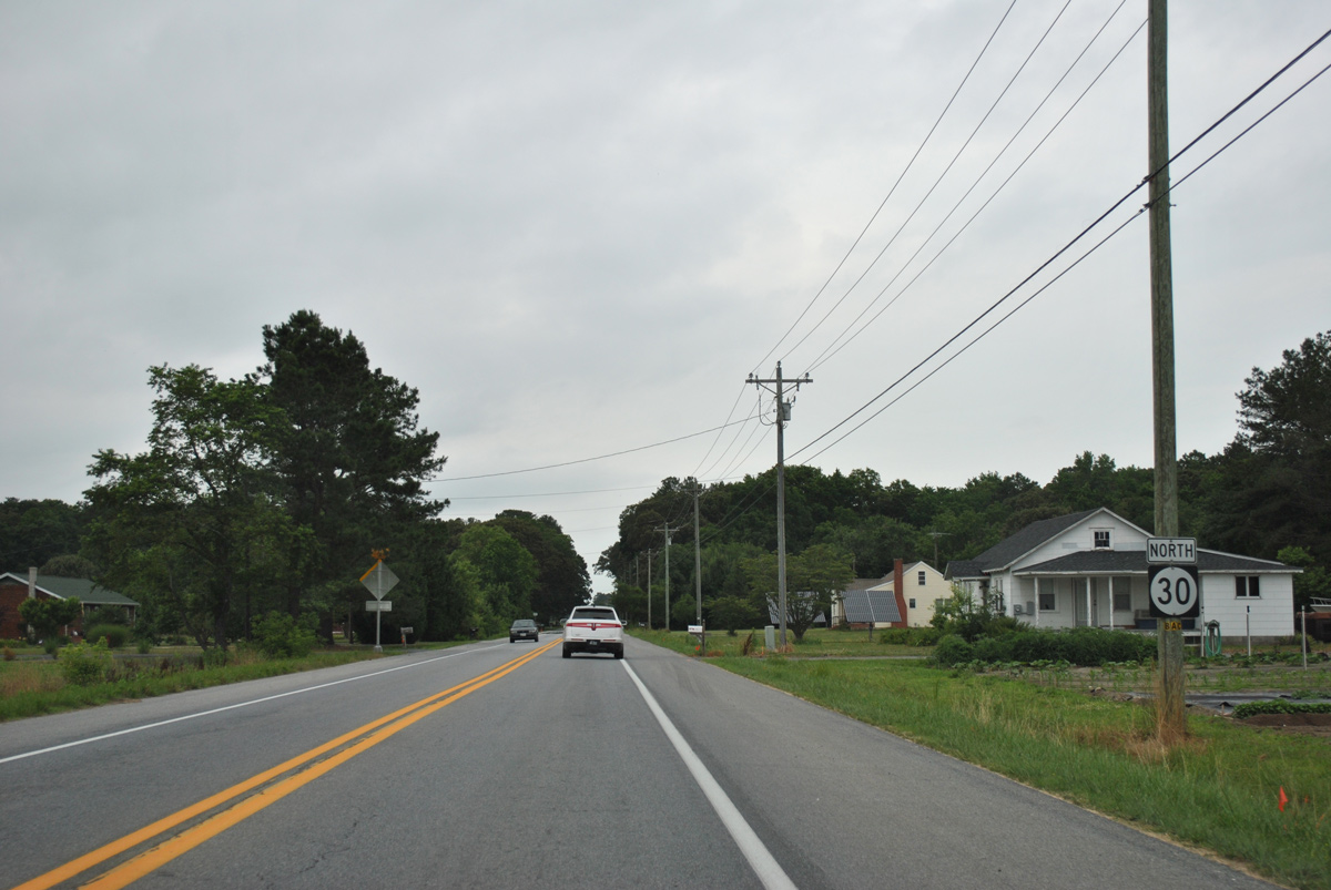
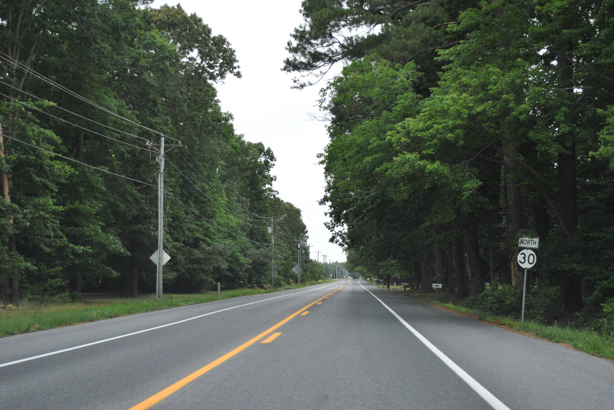
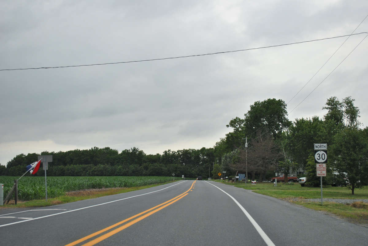
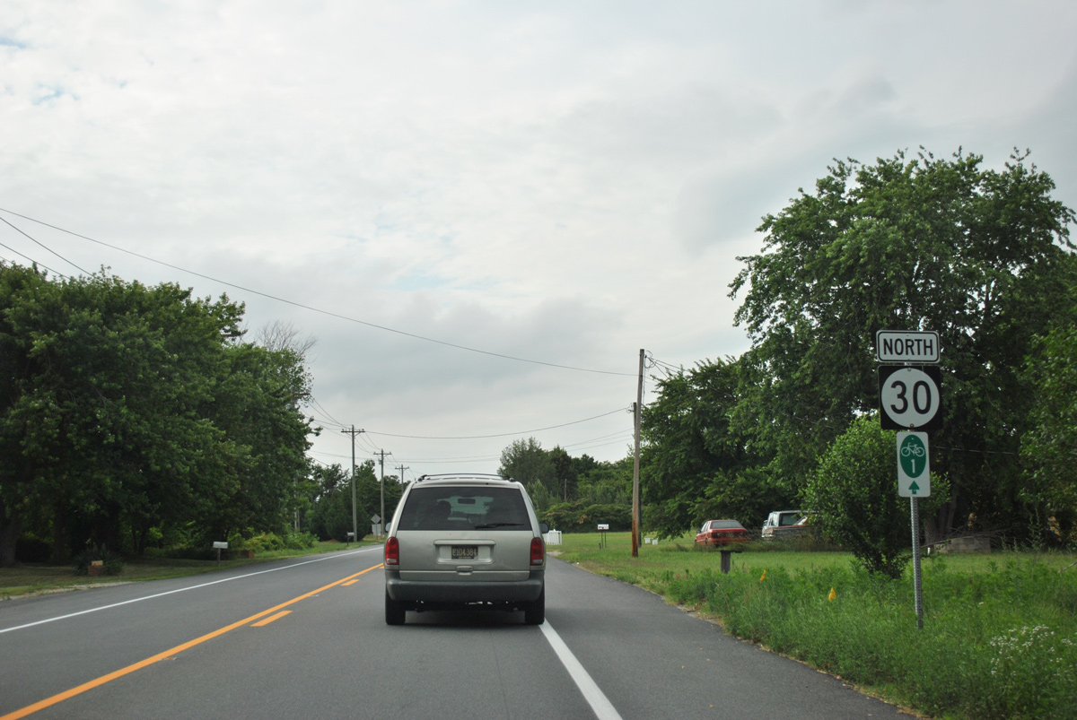
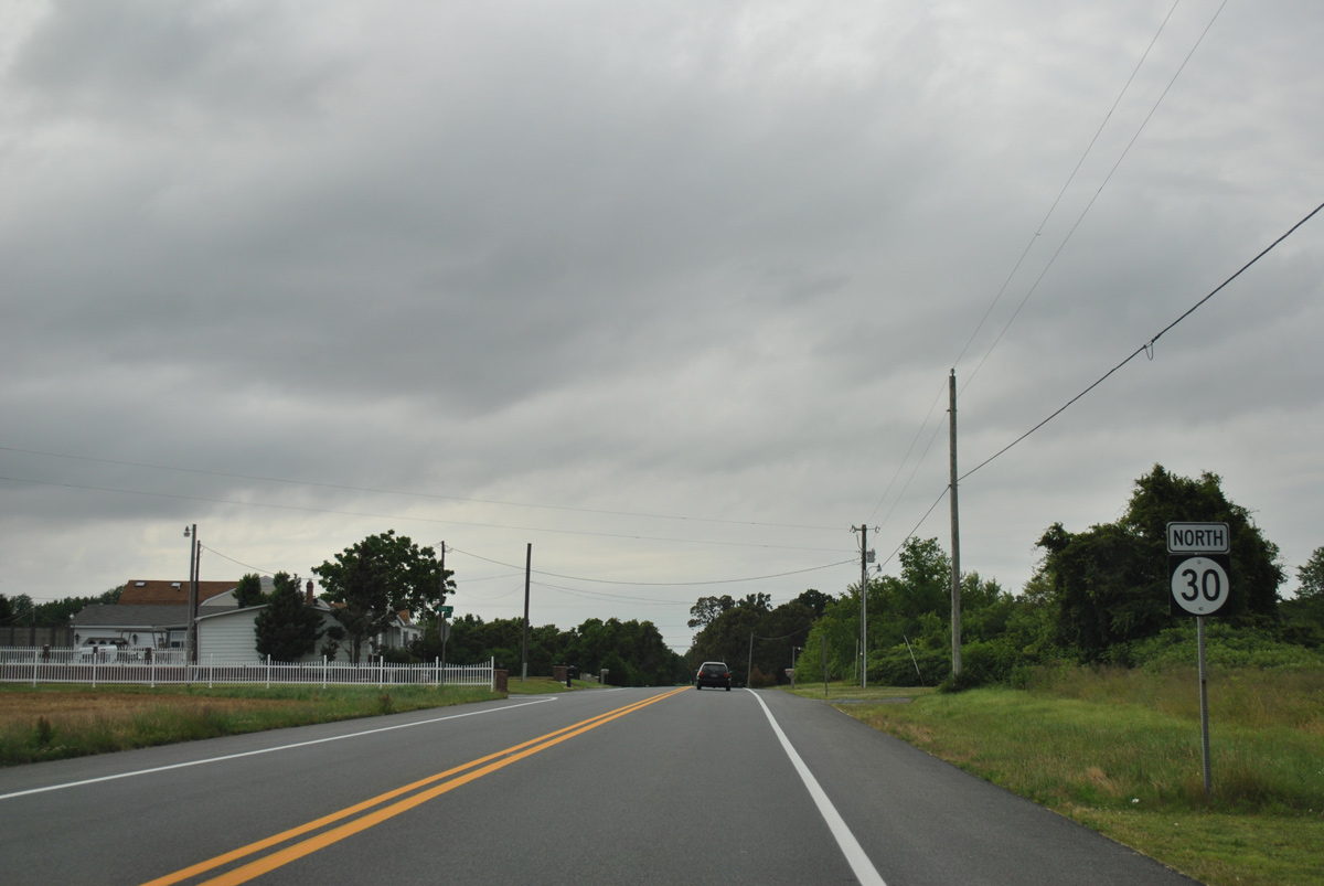
Reassurance marker posted as SR 30 advances north from Mt. Joy to Zoar.
06/18/12
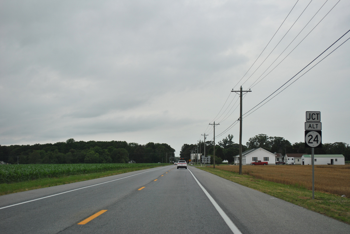
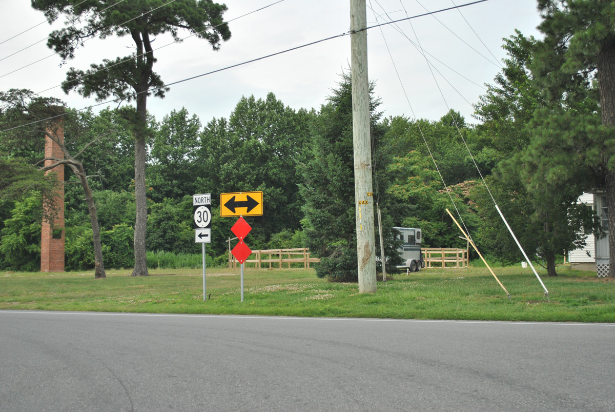
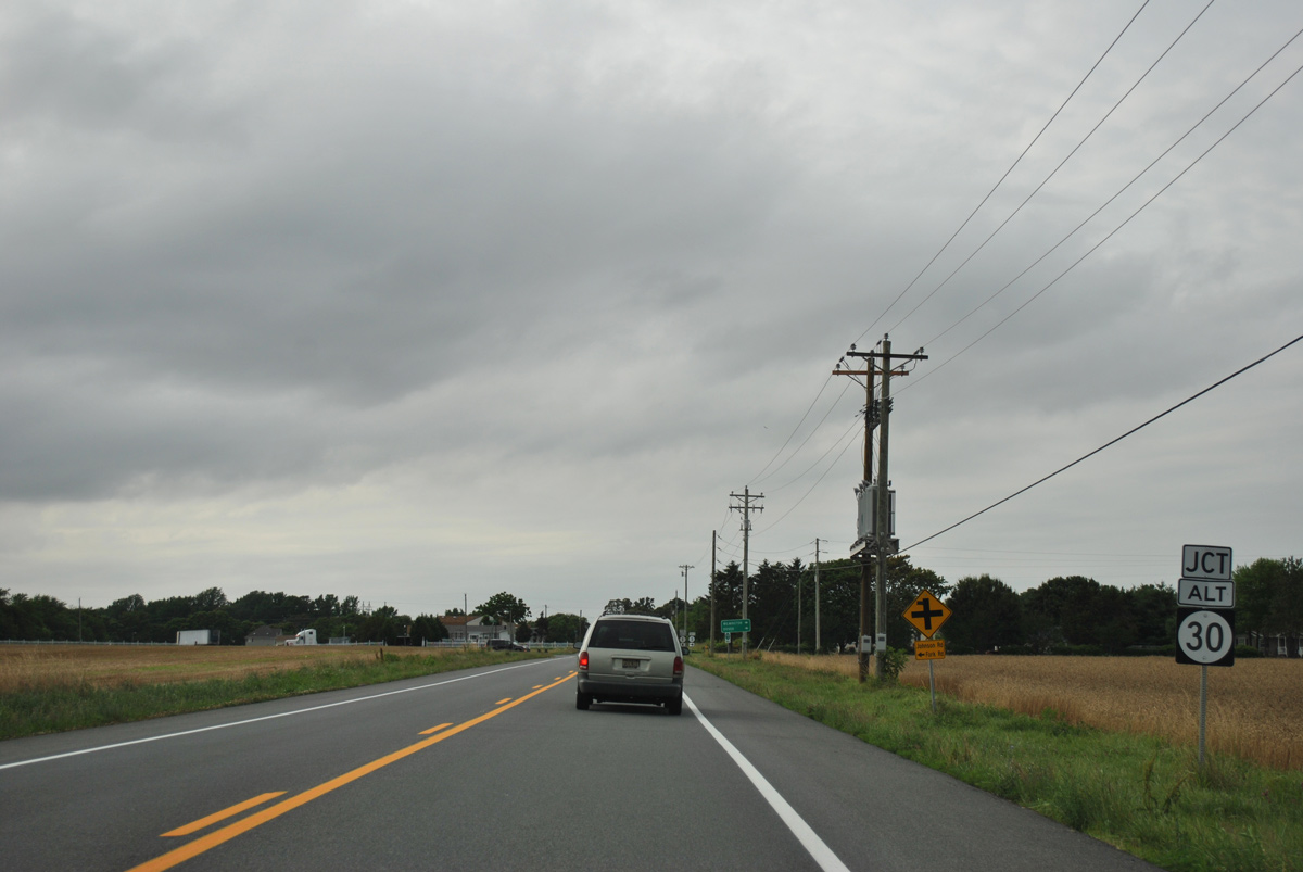
Entering the settlement of Zoar, SR 30 (Gravel Hill Road) intersects Zoar Road. Zoar Road was formerly a part of SR 24 Alternate.
06/18/12
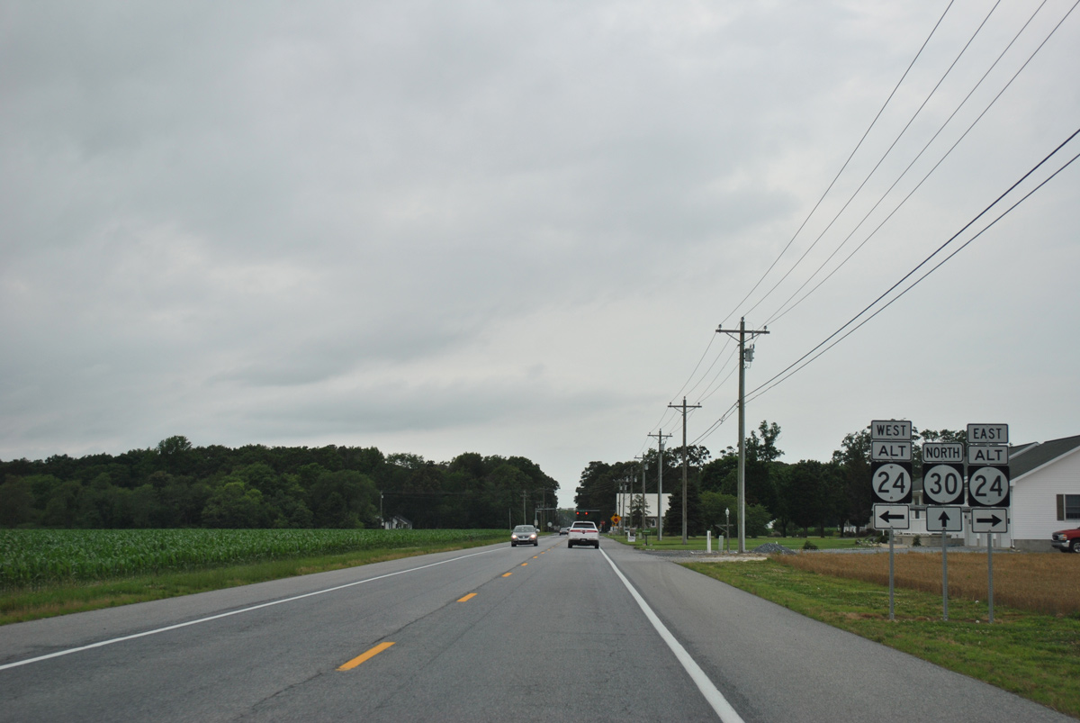
All signs for SR 24 Alt were removed west from SR 23 by January 2017. SR 24 Alt was an east-west route between U.S. 113 near Georgetown and Midway.
06/18/12
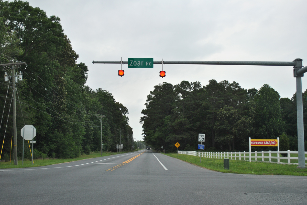
Zoar Road circles west around Morris Millpond toward rural areas ahead of Stockley. East from the four-way stop with SR 30, Zoar Road continues to Hollyville Road.
06/18/12
Several homes line SR 30 (Gravel Hill Road) north from Zoar to the wooded crossing of Deep Branch.
06/18/12

Johnson Road west and Springfield Road east from Delaware Coastal Airport (GED) come together at SR 30 and Springfield Crossroads.
06/18/12
Continuing north from Springfield Crossroads, SR 30 next reaches Gravel Hill.
06/18/12
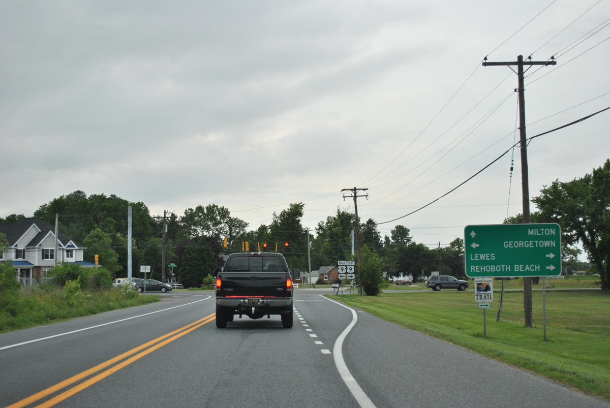
U.S. 9 crosses paths with SR 30 at Gravel Hill. The east-west route joins the county seat of Georgetown with Five Points and Lewes as part of a 31 mile route between Laurel and the Cape May-Lewes Ferry across Delaware Bay.
06/18/12
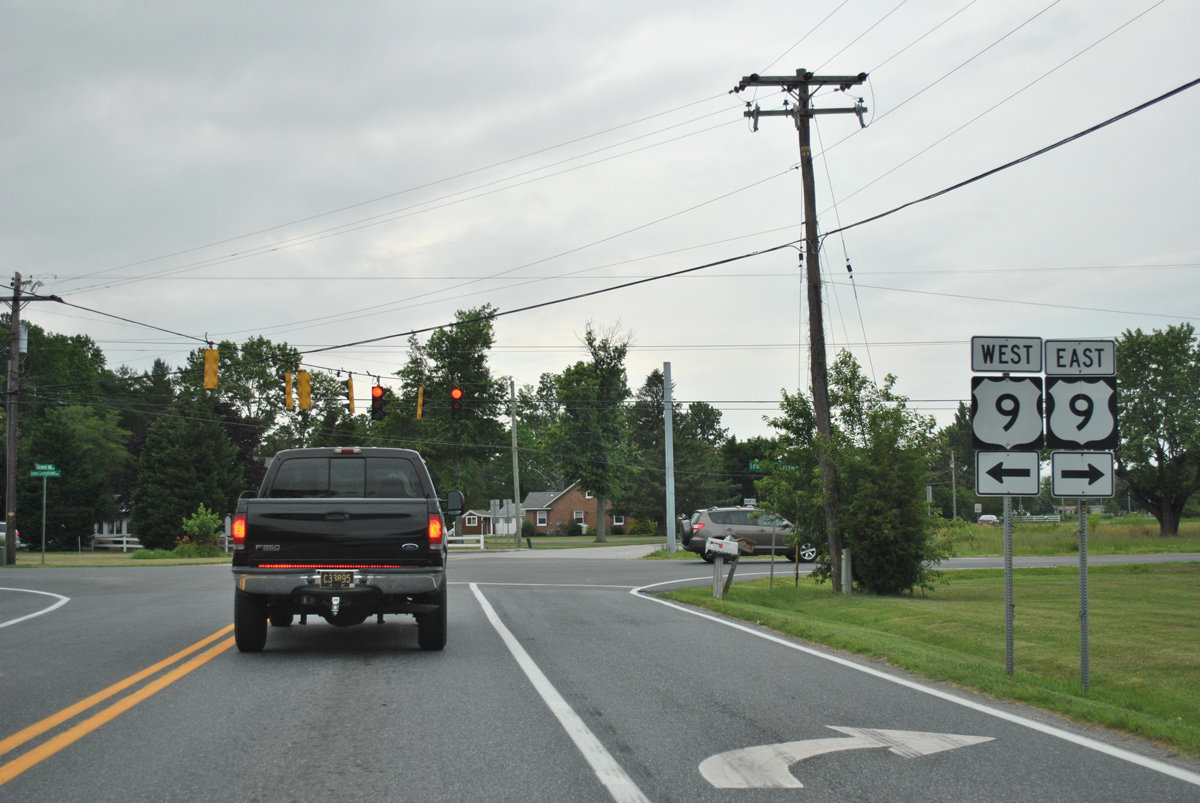
Construction in 2014-15 expanded the signalized intersection with U.S. 9 (Lewes Georgetown Highway) to include left turn lanes. U.S. 9 overlaps with SR 404 west to Downtown Georgetown and east to SR 1 at Five Points as part of a multi state route between the coastal resort area and Chesapeake Bay Bridge (U.S. 50).
06/18/12
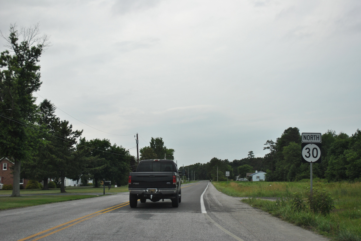
North from U.S. 9 and Gravel Hill, SR 30 resumes along the rural drive north toward Milton and Milford.
06/18/12
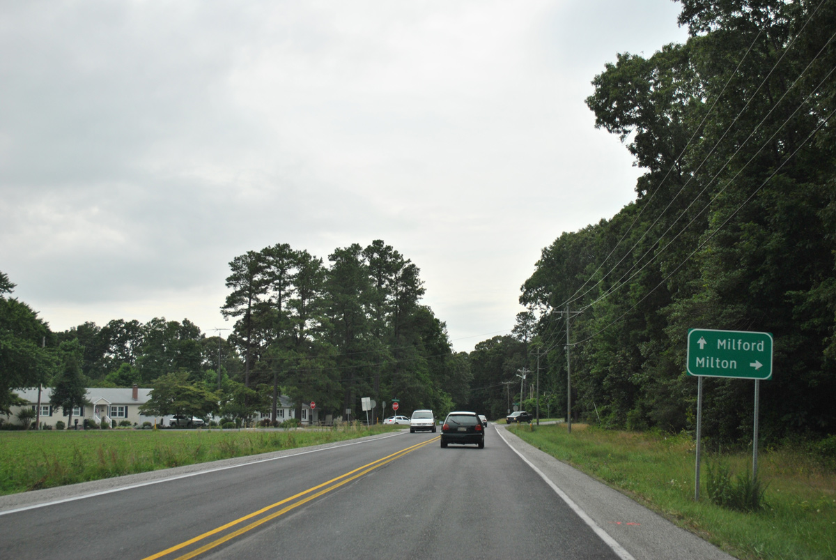
Shingle Point Road branches north from SR 30 to connect with SR 5 at the town of Milton.
06/18/12
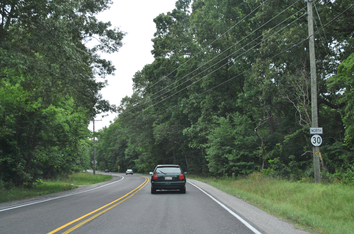
An S-curve takes SR 30 (Gravel Hill Road) west across Ingram Branch. The state route north from Shingle Point Road (old SR 30) was designated by 1971.
06/18/12
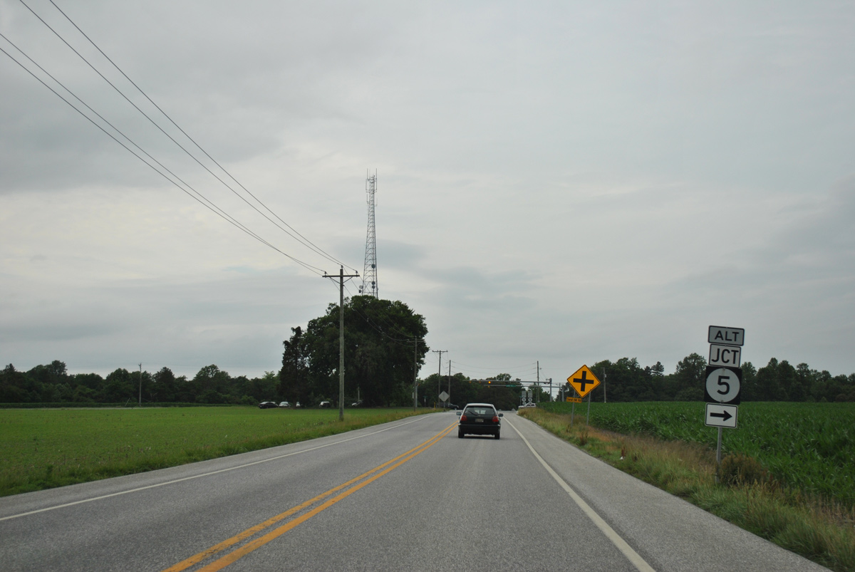
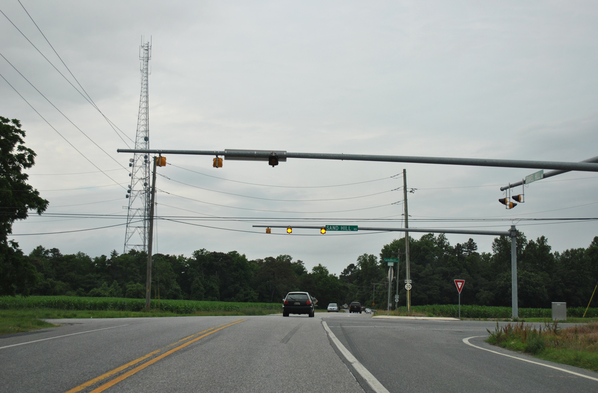
A set of flashers operate at the rural crossroads of SR 30 (Gravel Hill Road) and Sand Hill Road to the west of Milton. Sand Hill Road doubles as SR 5 Alternate to the east.
06/18/12
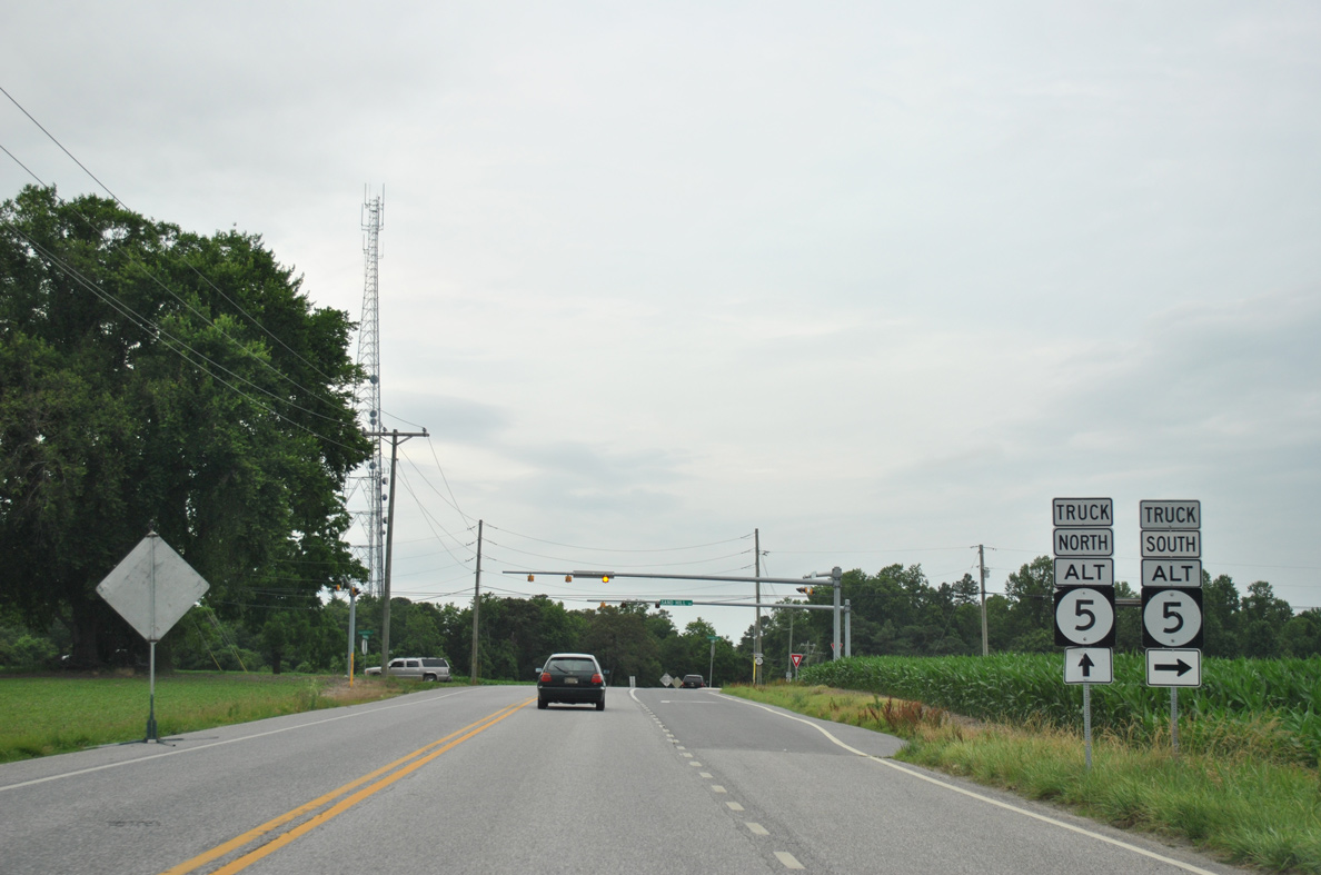
SR 5 Alternate forms a truck bypass for SR 5 around the west side of Milton. SR 5 parallels SR 30 to the east through the Milton Historic District.
06/18/12
Sand Hill Road extends west from SR 5 Alt and 30 to Burton Road and south to Sand Hill and U.S. 9 at Georgetown.
06/18/12
 North
North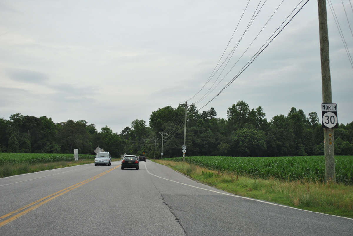
SR 30/5 Alternate overlap for 1.1 miles north along Gravel Hill Road to SR 16 (Milton Ellendale Highway).
06/18/12
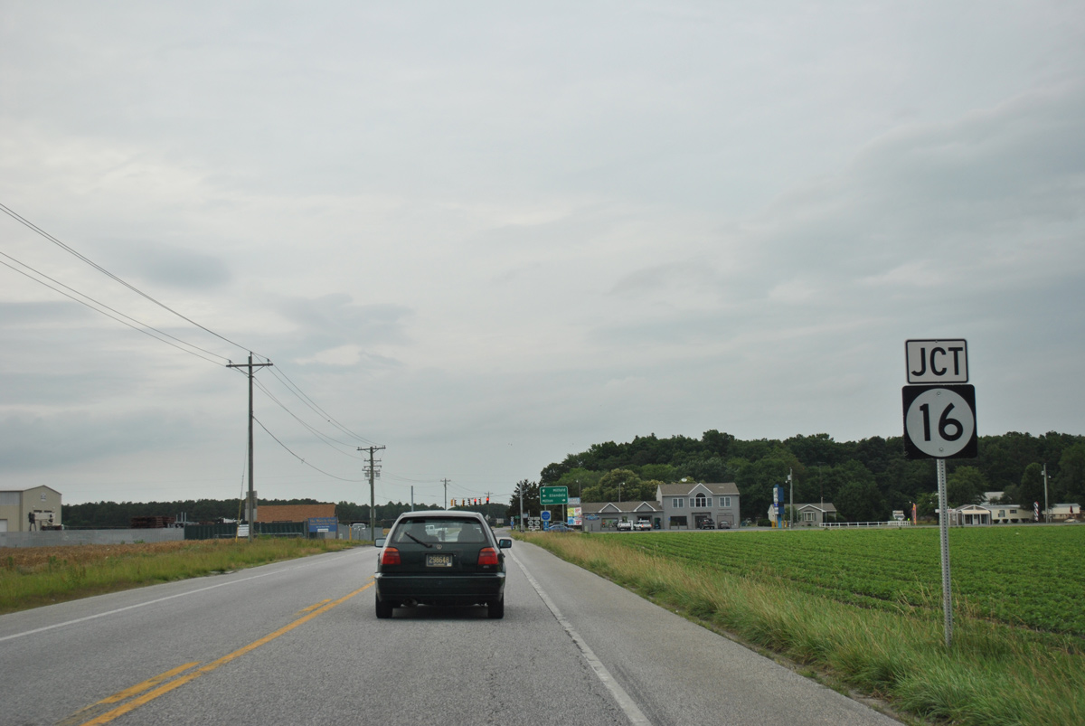
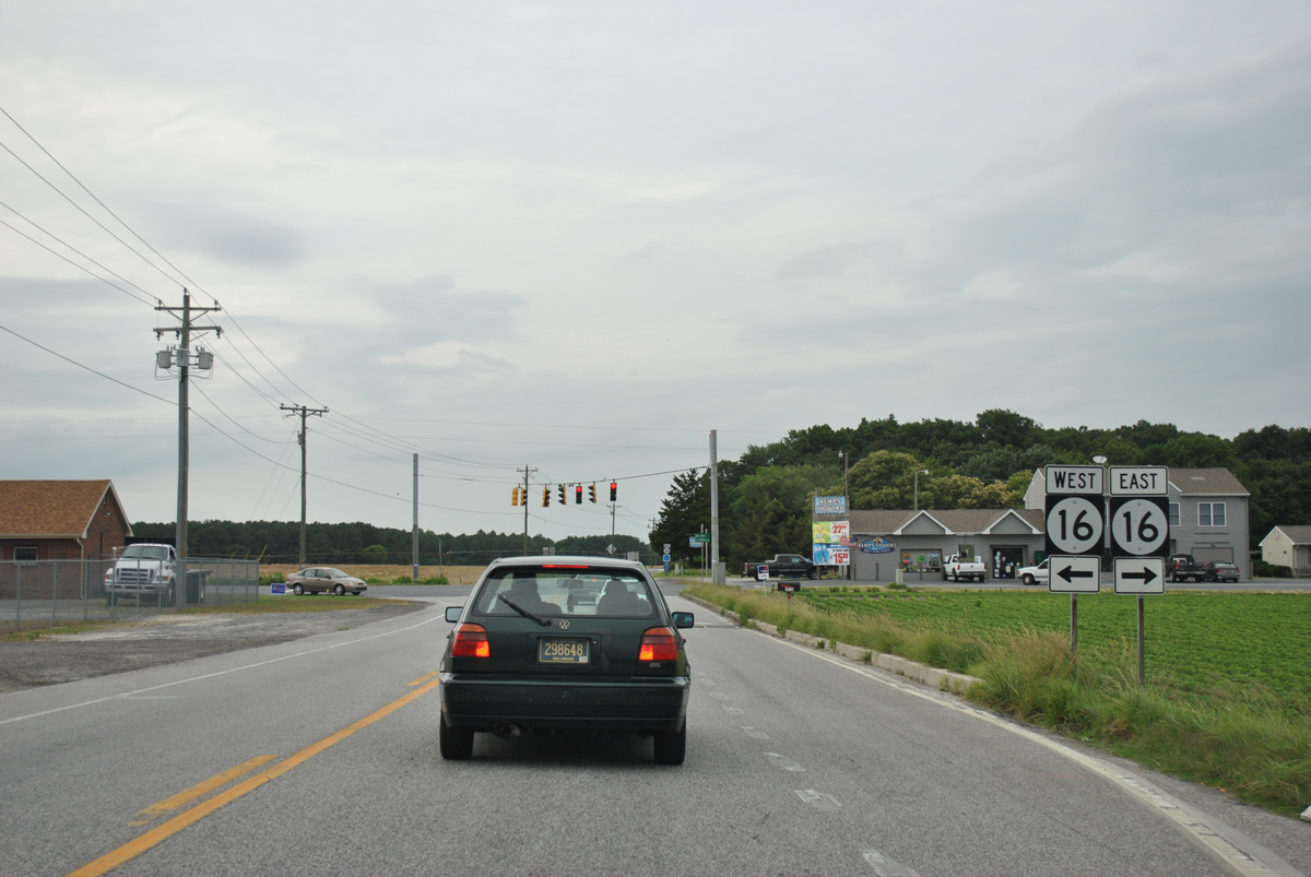
SR 16 travels west across the north side of Milton to meet SR 5 Alt/SR 30 at an upcoming traffic light. The state route crosses Sussex County west along a 30 mile route east to Broadkill Beach and west to MD 16 at Hickman.
06/18/12
SR 5 Alt returns to SR 5 (Union Street Extension) via a 1.4 mile overlap with SR 16 (Milton Ellendale Highway) east. SR 16 west leads to Ellendale and Greenwood.
06/18/12
North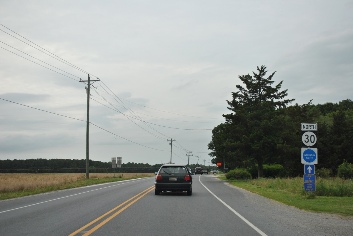
Isaacs Road carries SR 30 north from SR 16 to Reynolds Mill and Cedar Creek Road.
06/18/12
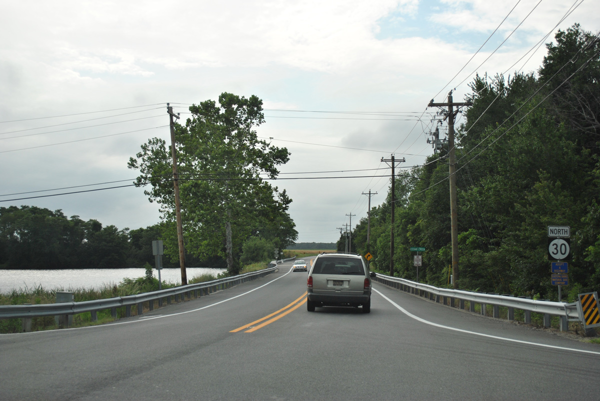
Cedar Creek Road overtakes Isaacs Road as the alignment of SR 30 north to Milford.
06/18/12
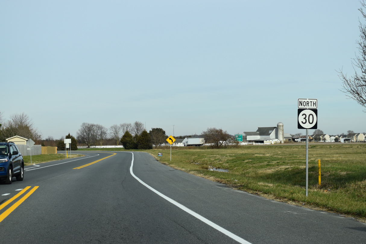
Reassurance marker posted along Cedar Creek Road north ahead of the North Prong of Primehook Creek and Jefferson Crossroads.
06/18/12
Benson Road north and south, and Neal Road west come together with SR 30 (Cedar Creek Road) at Anderson Crossroads. This shield stands north of the at a five point intersection.
06/18/12
Pine Haven Road runs 1.55 miles west from SR 1 at Argo Corners to intersect SR 30 across from Fleatown Road by Swiggetts Pond.
06/18/12
SR 30 Alternate was a short state route designated for motorists headed to SR 1 (Coastal Highway) north from SR 30 (Cedar Creek Road) north, as there was no access further north at their previous right in right out (RIRO) intersection. A full access interchange joins the two routes there now.
06/18/12
Johnson Road angles three quarters a mile northeast to end at SR 1 (Coastal Highway) southbound. This sign was removed by 2014, as the Johnson Road intersection with SR 1 was reconfigured to eliminate the left turn to SR 1 north.
06/18/12
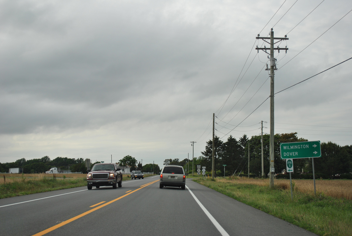
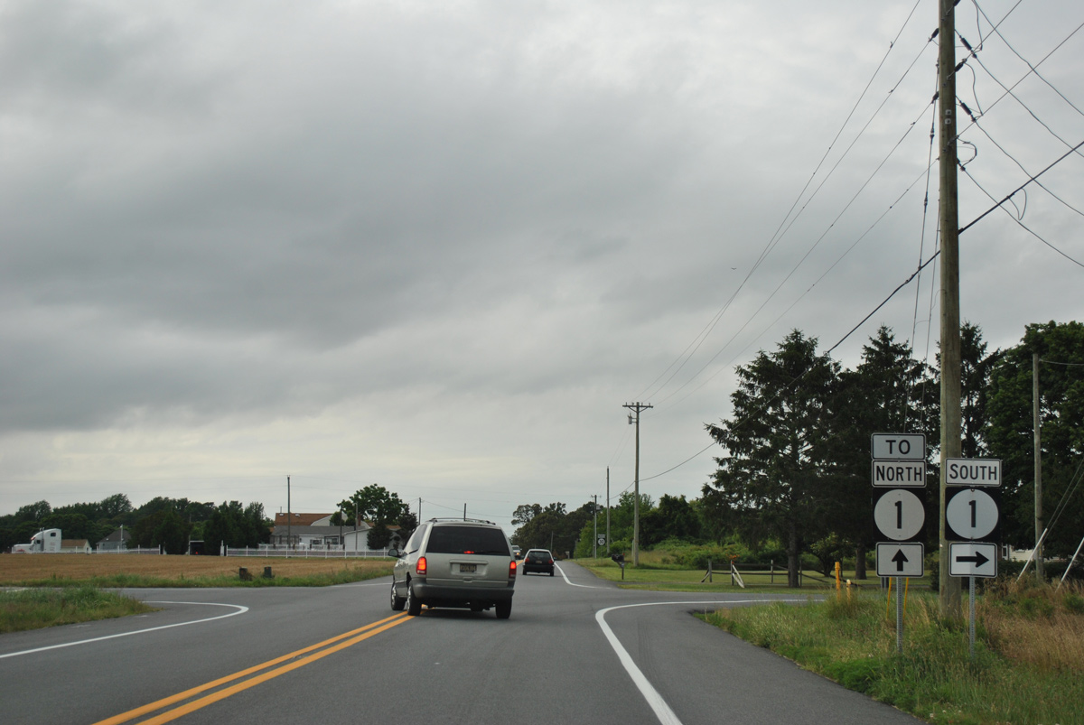
Trailblazers for SR 1 separate motorists onto Johnson Road east for SR 1 south back to the beaches and SR 30 north to Wilkins Road.
06/18/12
Cedar Creek Road advances to cross the Milford city line within the succeeding half mile north from Johnson Road (old SR 30 Alt).
06/18/12
20 months of construction starting in December 2012 added a folded diamond interchange joining SR 1 with SR 30 at Cedar Creek and Wilkins Roads. Associated work expanded SR 30 to include a center turn lane and added traffic lights at Wilkins Road.
06/18/12
SR 30 joins Rehoboth Boulevard north from Cedar Creek and Wilkins Roads to SR 1 Business through south Milford.
12/19/20
SR 1 Business north splits with SR 1 (Coastal Highway) at a wye interchange and overtakes Rehoboth Boulevard from the north end of SR 30.
12/19/20
References:
- US 13 at SR30/Dorothy Road.
https://deldot.gov/information/ projects/CompletedProjects/us13_sr30_DorothyRoad/index.shtmlDelaware Department of Transportation (DelDOT) project web site, accessed January 21, 2017.
Photo Credits:
- Alex Nitzman: 06/18/12, 01/15/17, 01/16/17, 12/19/20
Connect with:
Page Updated Tuesday November 01, 2022.