
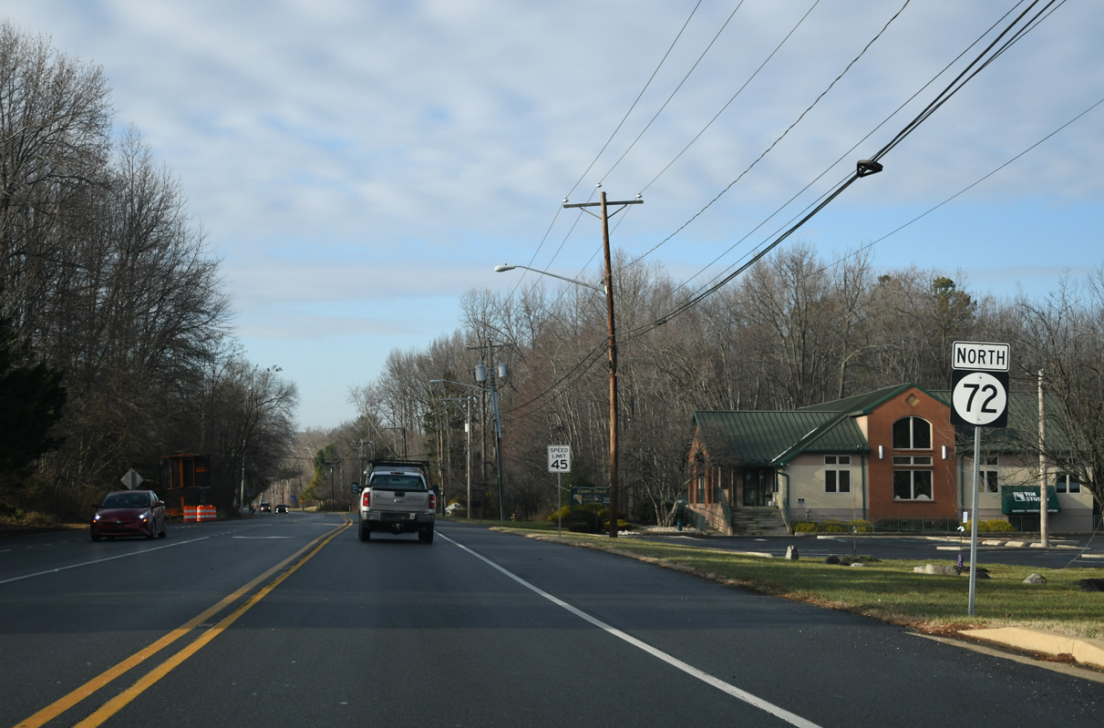
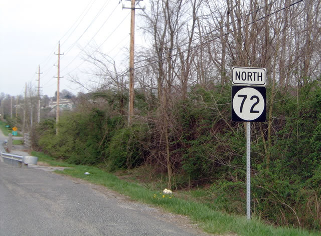
State Route 72 North

 North
North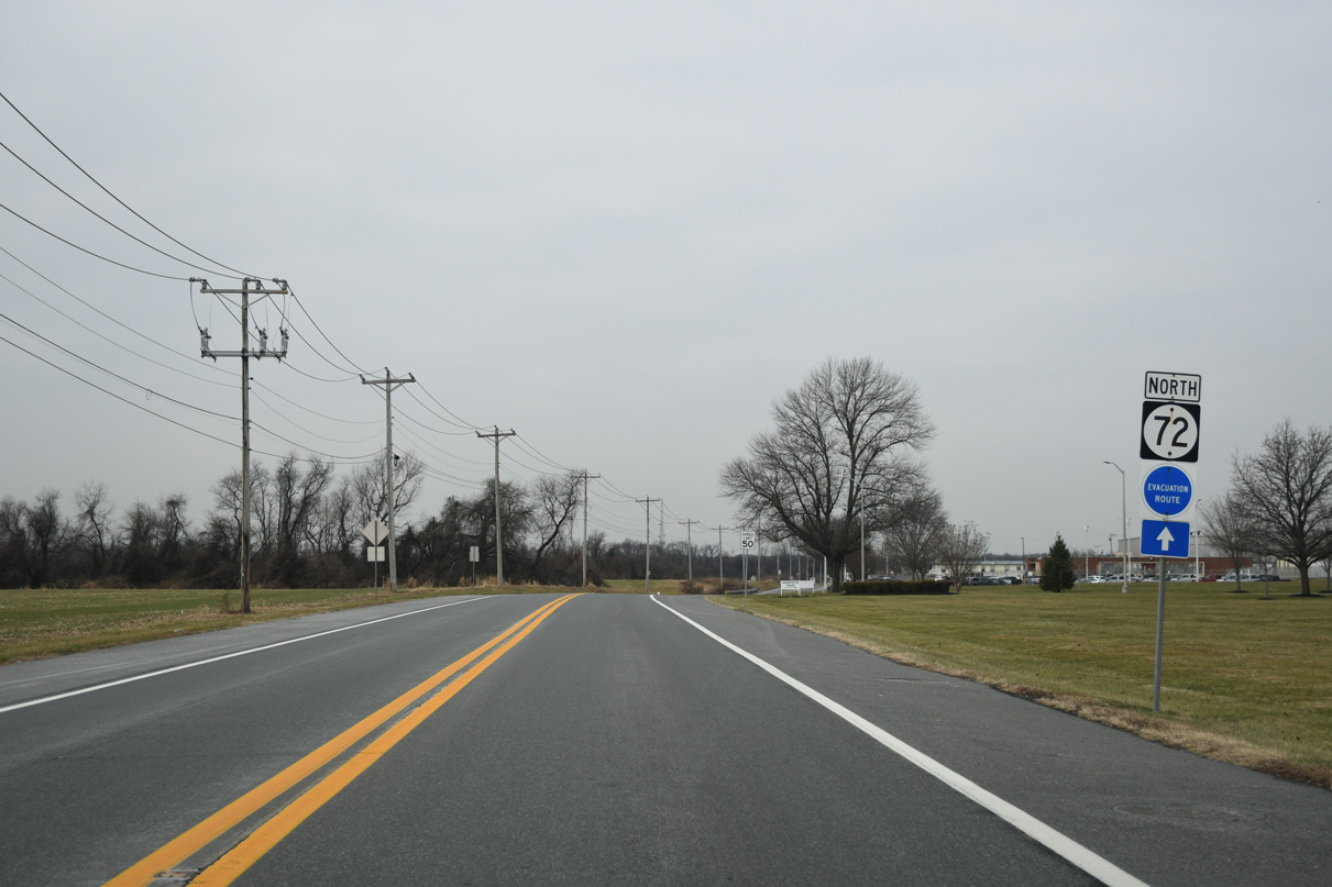
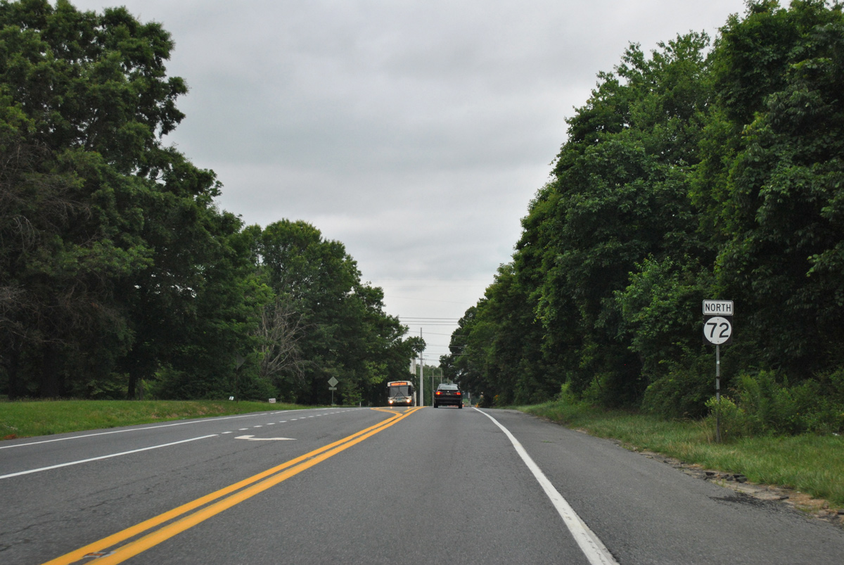
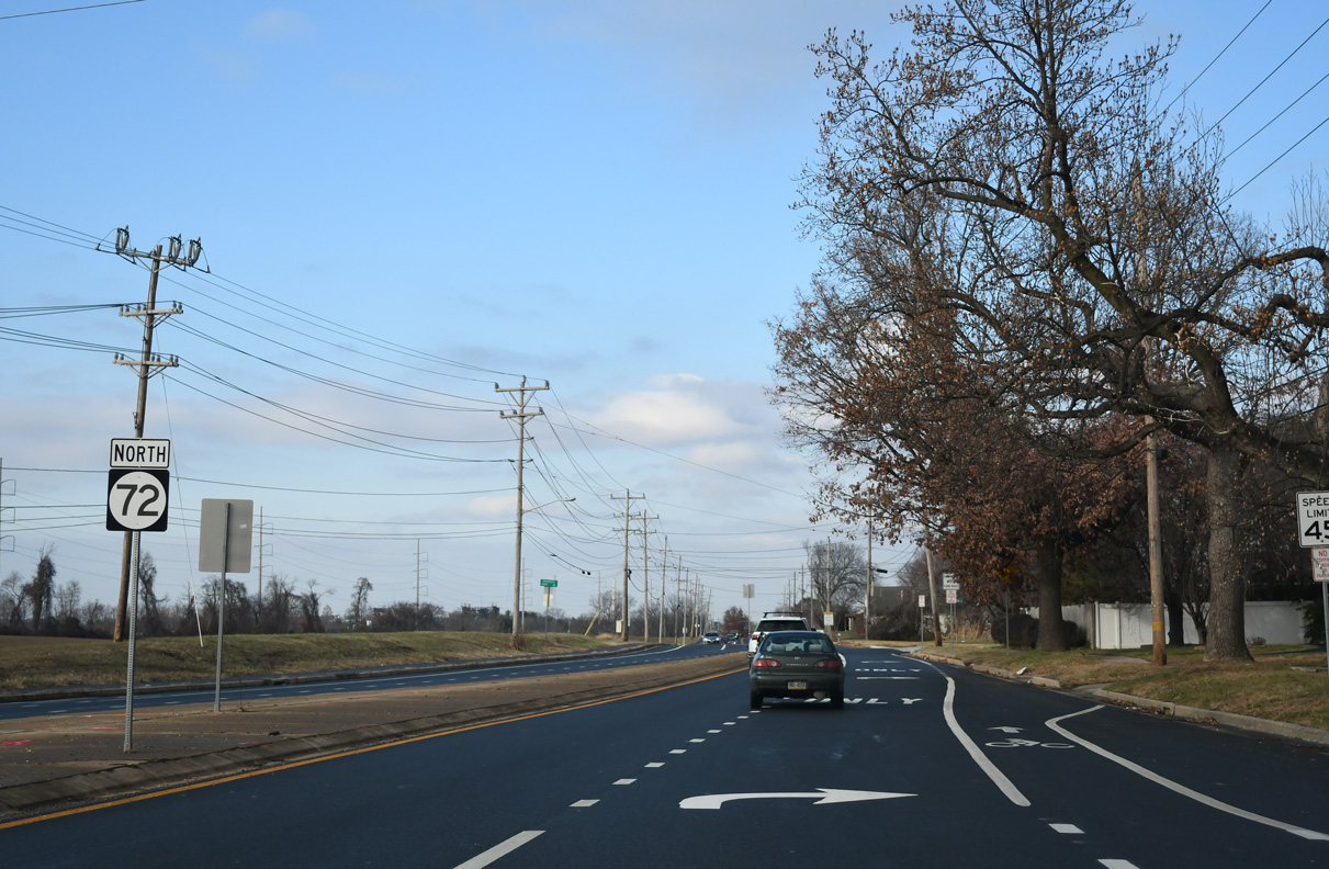
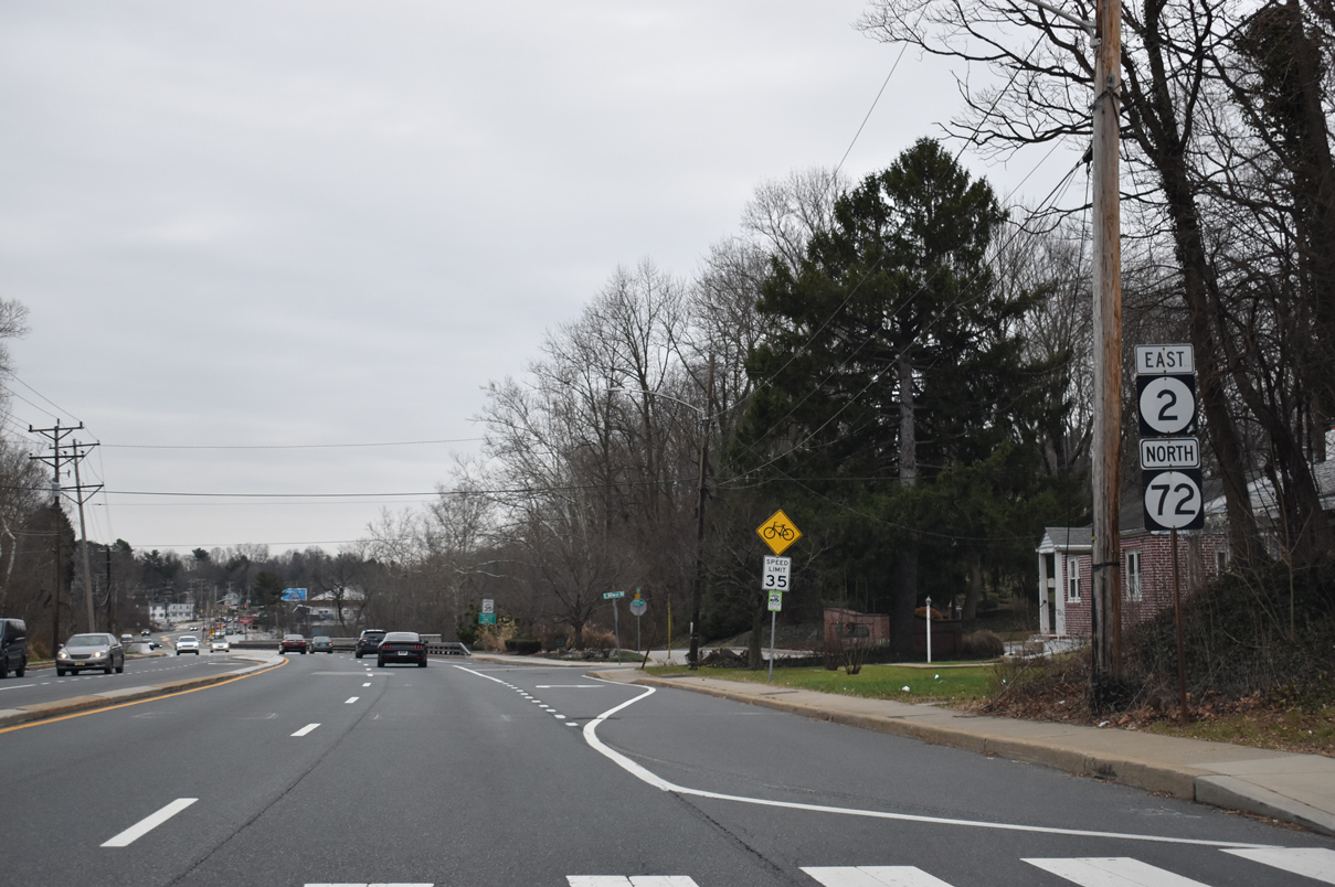
SR 72 (Wrangle Hill Road) stems west from the turn of SR 9 onto River Road by the Delaware City refinery complex toward Wrangle Hill. Pictured here is the first confirming marker for SR 72 north.
12/26/24
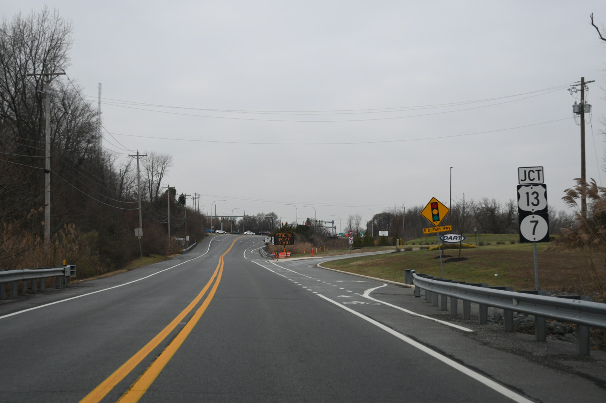
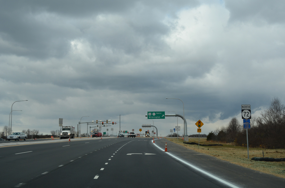
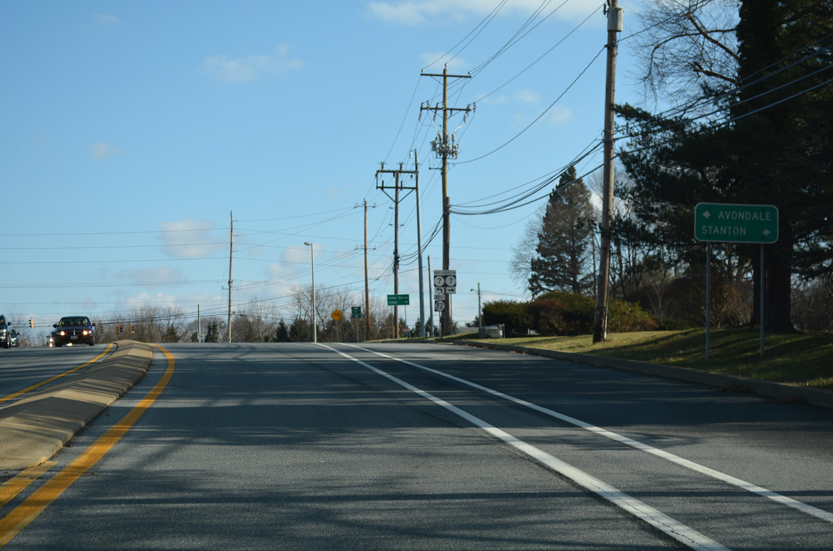
SR 72 travels west by several warehouses to meet U.S. 13 south and SR 7 (Dupont Highway) north at Wrangle Hill.
12/26/24

SR 7 follows a portion of Dupont Highway north from SR 72 to Red Lion Road. The state route travels to Bear, Christiana, Stanton and Pike Creek Valley.
12/26/24
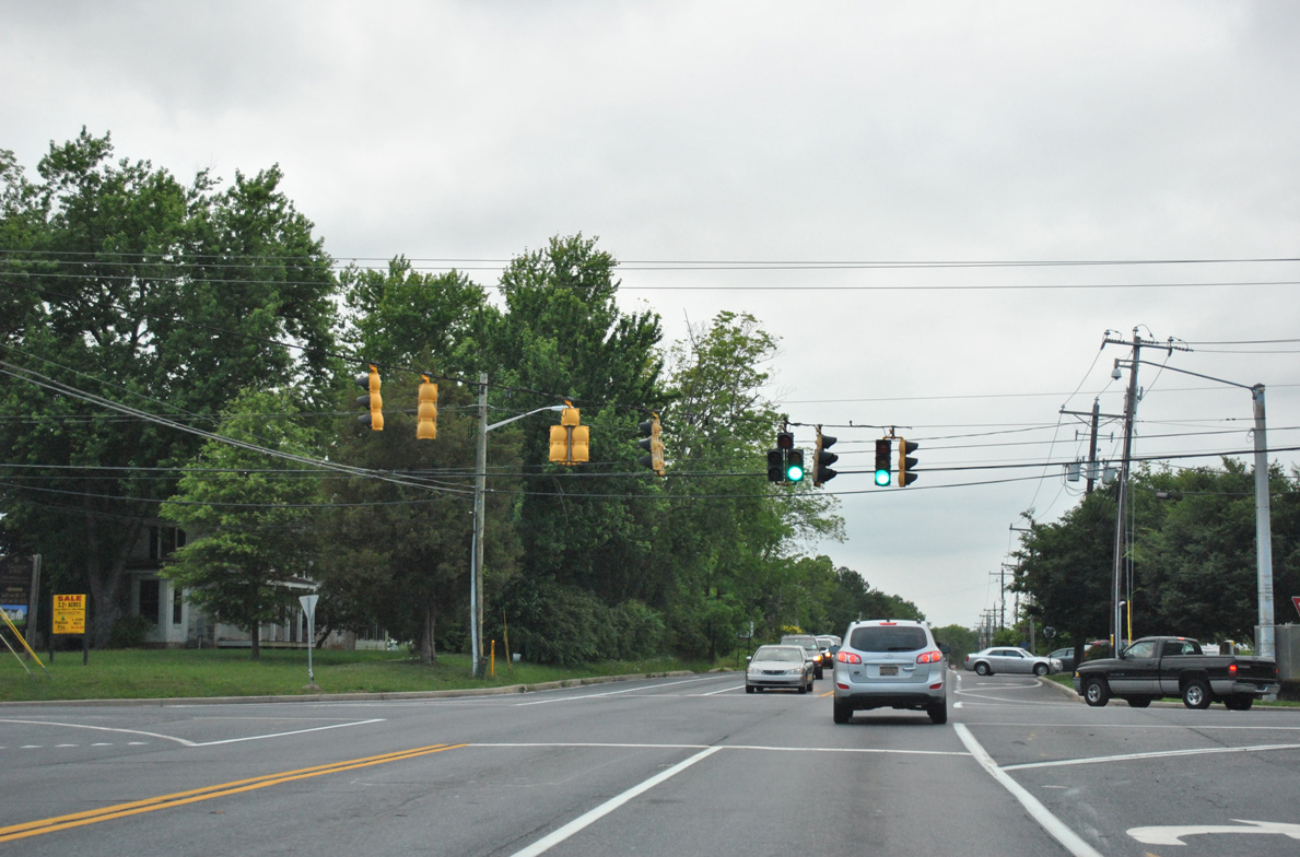
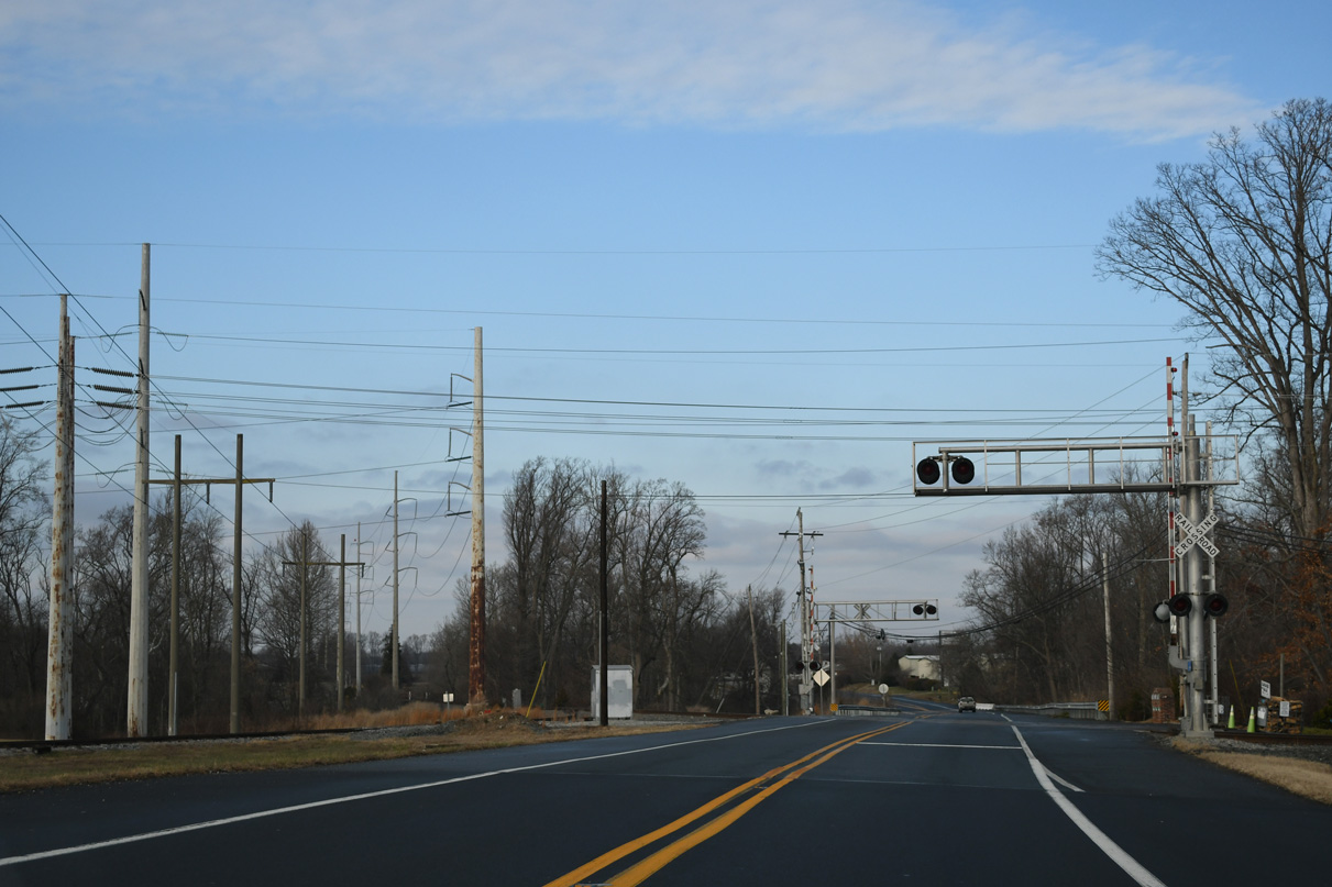
U.S. 13 rejoins Dupont Highway south from Wrangle Hill to St. Georges and Boyds Corner.
12/26/24
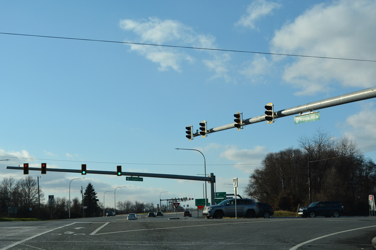
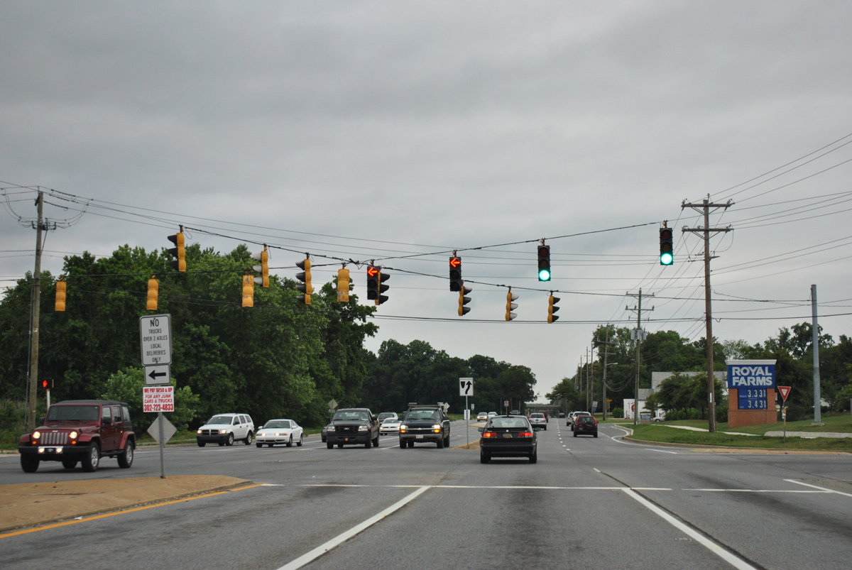
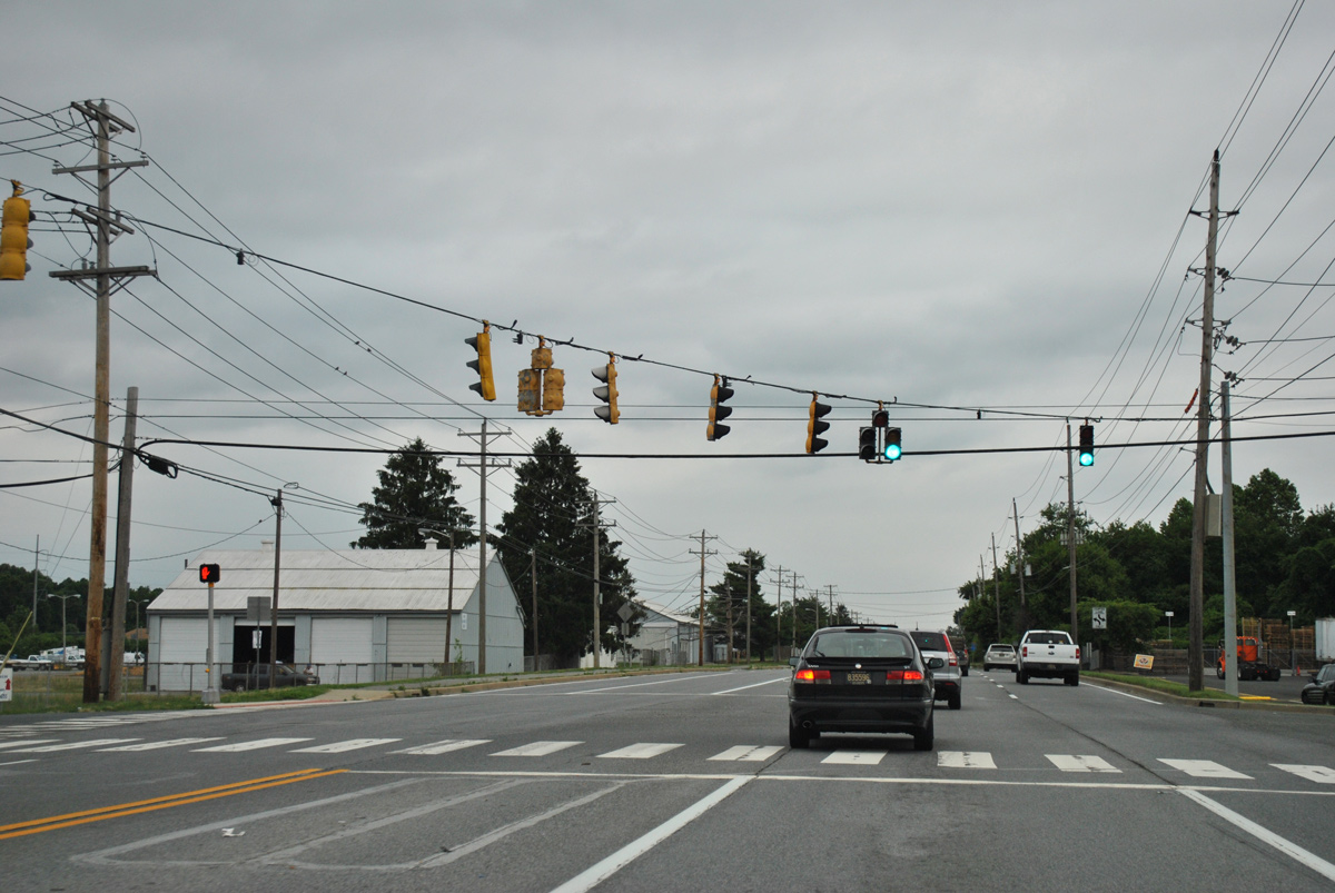
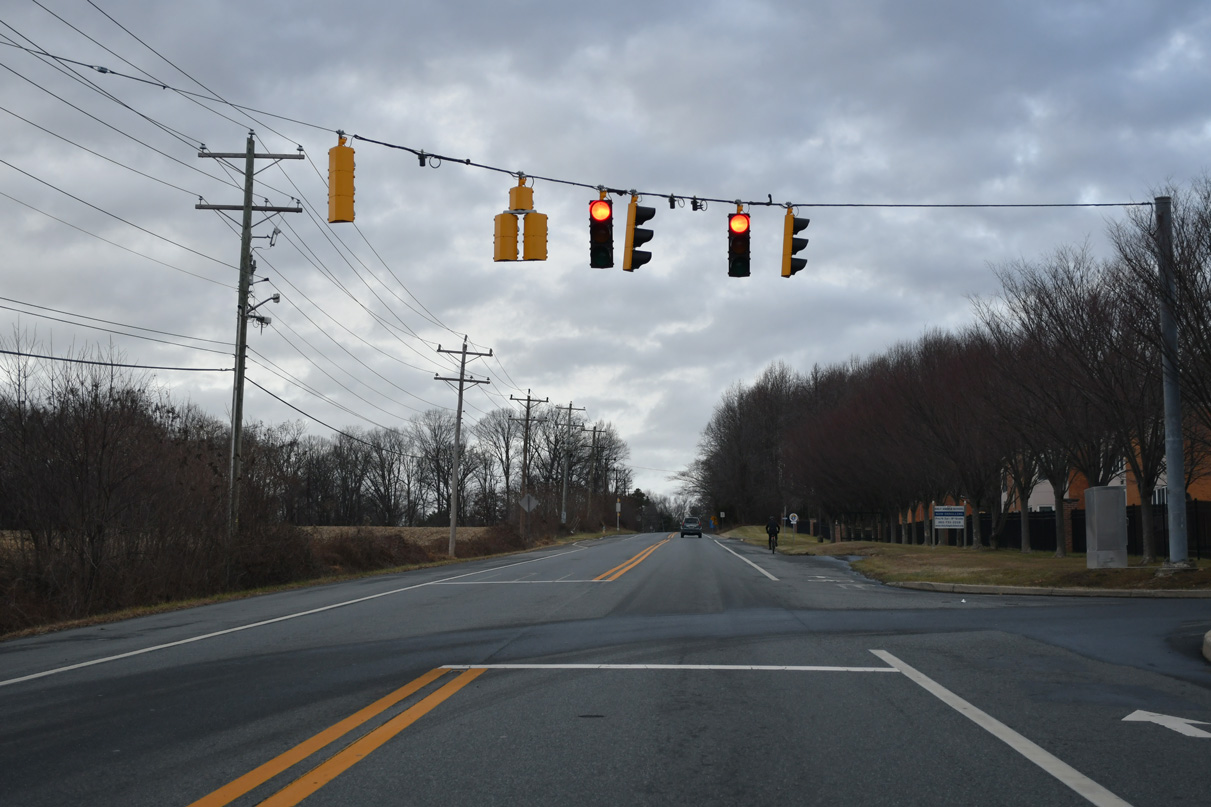
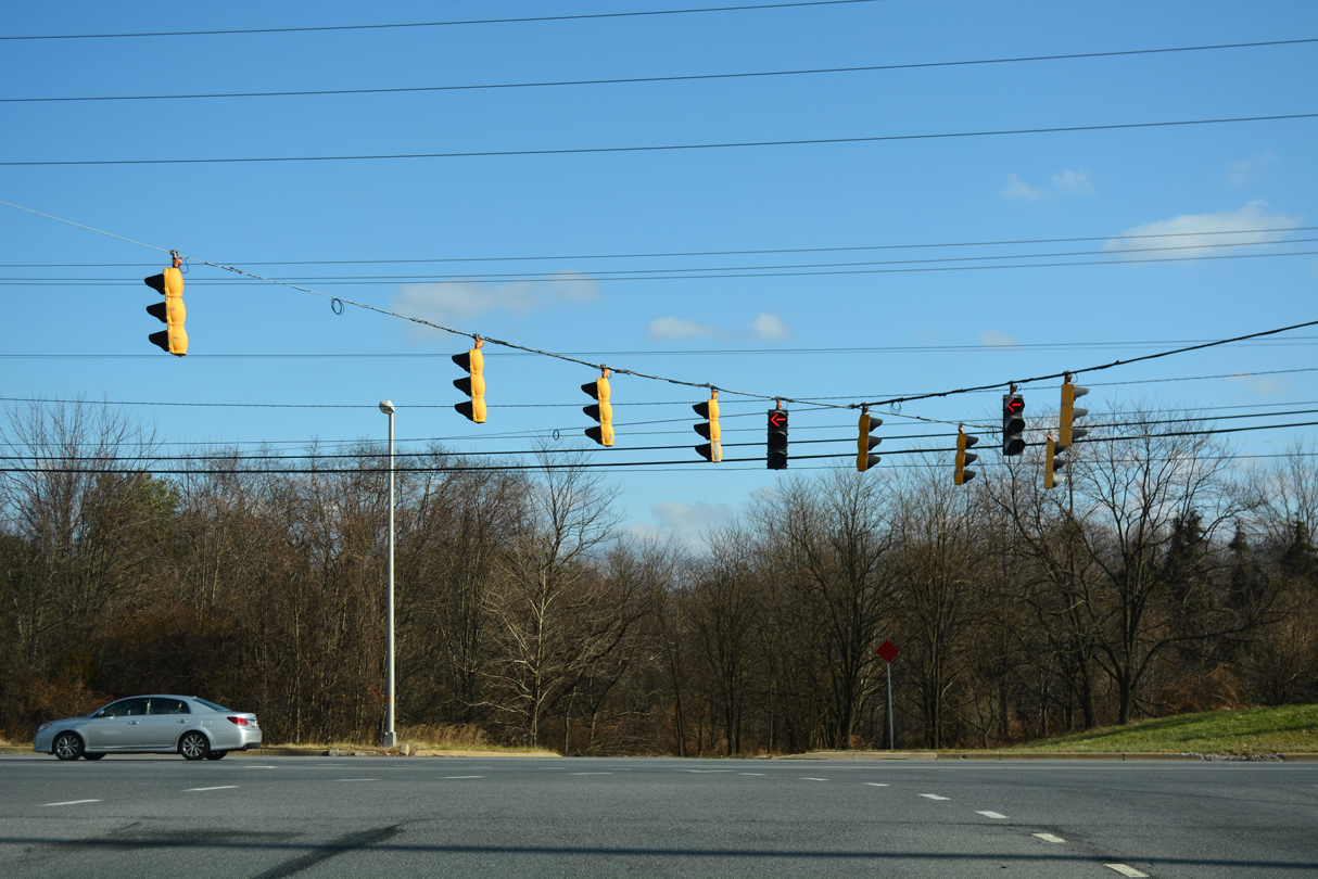
Mast arm traffic light assemblies replaced span wires at SR 7/72 and U.S. 13 by 2021.
12/23/22
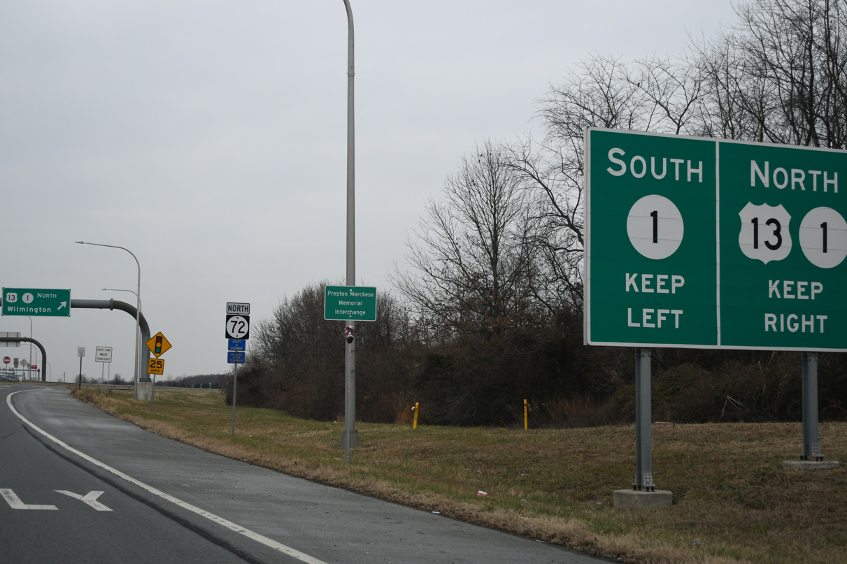
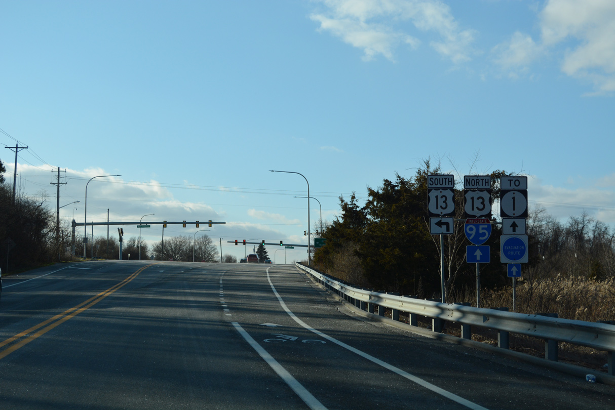
U.S. 13 briefly combines with SR 72 (Wrangle Hill Road) to connect with adjacent SR 1 north to Tybouts Corner. Construction finished at the end of 2016 converted the forthcoming exchange into a diverging diamond interchange (DDI).
12/26/24
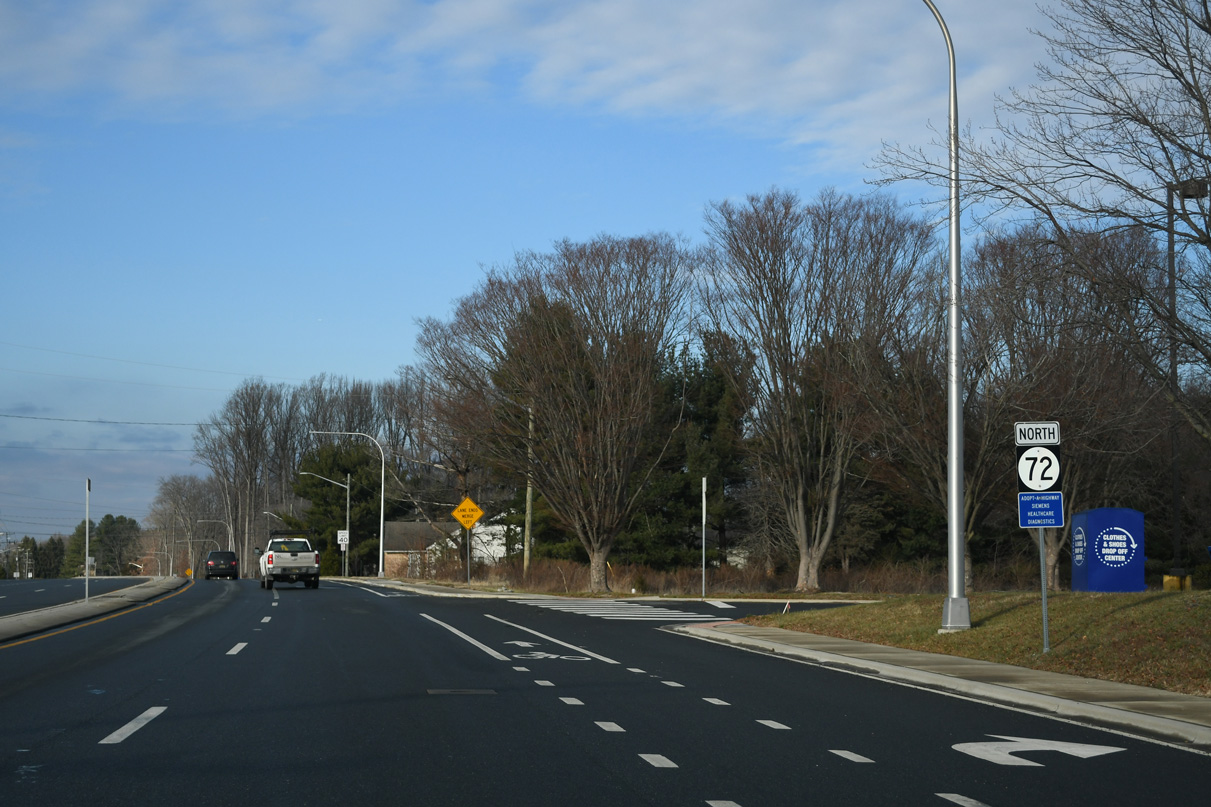
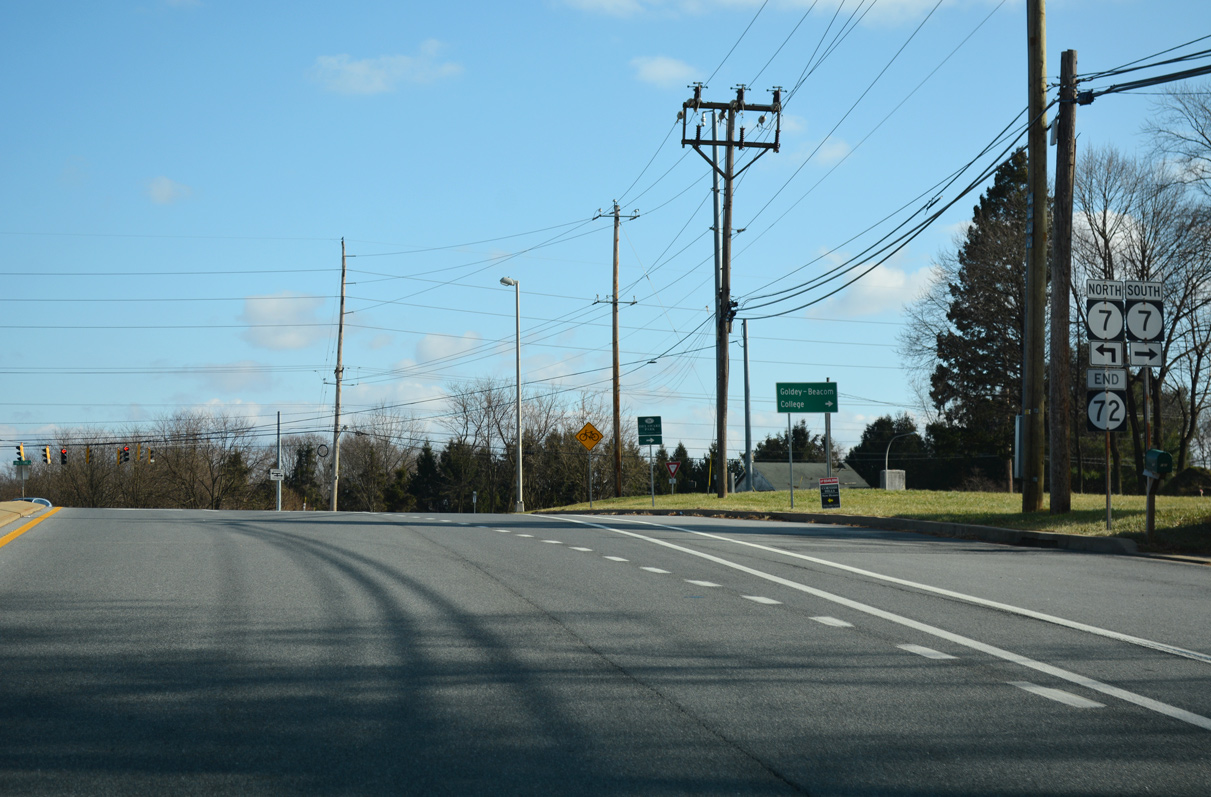
Confirming marker for SR 72 (Wrangle Hill Road) north posted after SR 7 and Dupont Highway at Wrangle Hill.
12/26/24

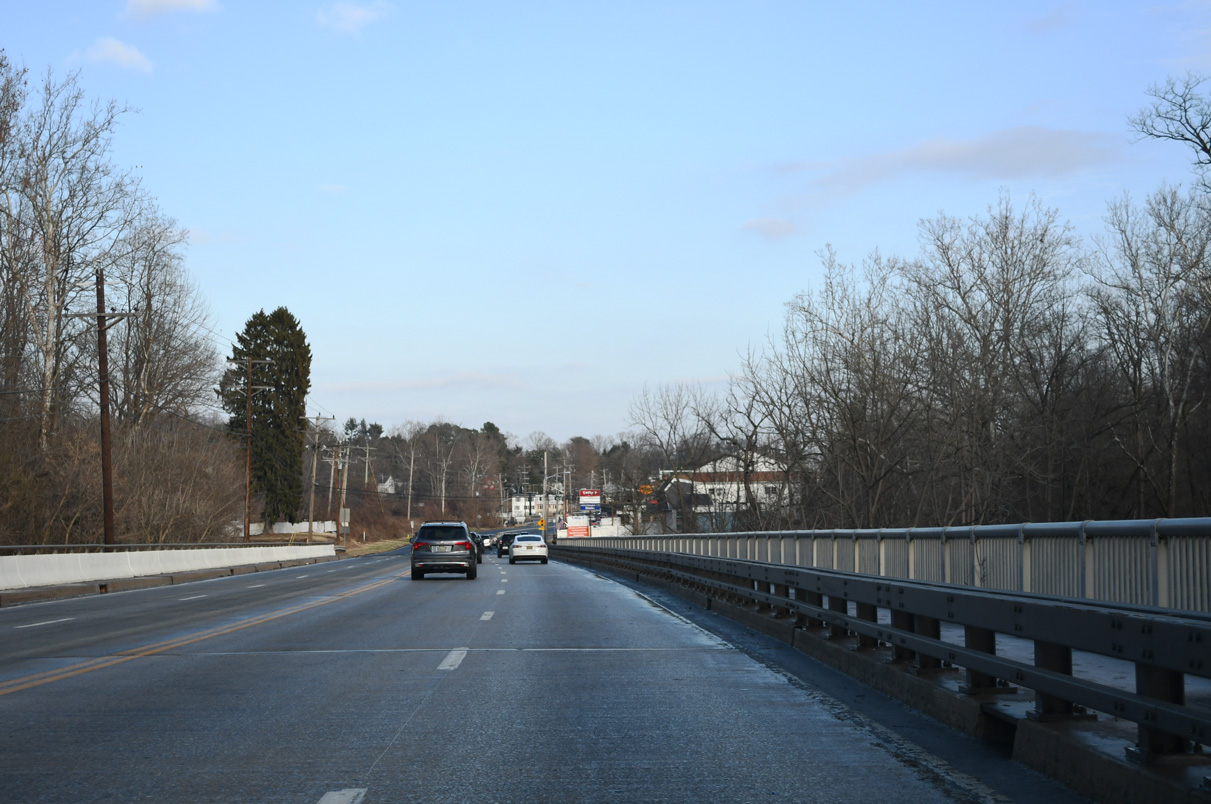
The U.S. 13 northbound mainline departs to the right for a two mile overlap with SR 1 ahead of New Castle and Wilmington.
12/26/24
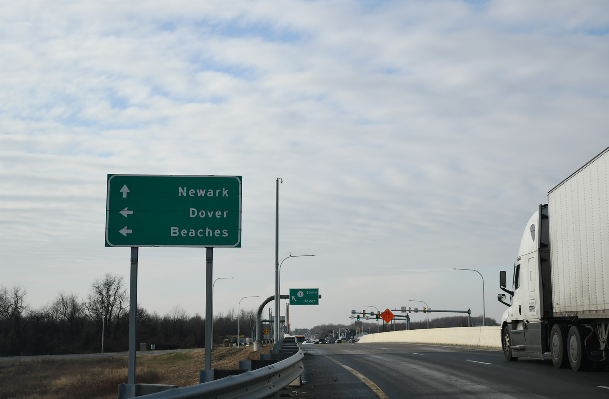
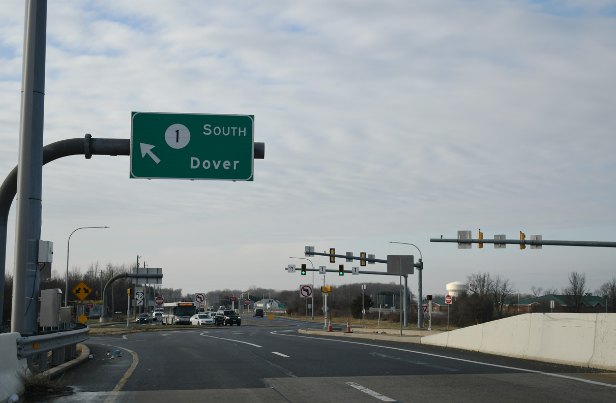
Traffic shifts to the left ahead of the southbound entrance ramp for SR 1 to Smyrna, Dover and coastal Sussex County.
12/24/24
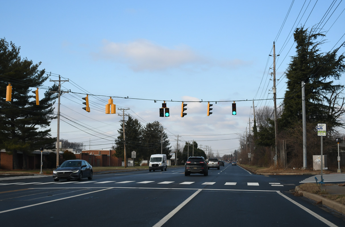
Continuing west from U.S. 13 and SR 1, SR 72 (Wrangle Hill Road) next intersects Wilson Boulevard south to the Sunset Meadows subdivision and the entrance to Kathleen H. Wilbur Elementary.
12/24/24
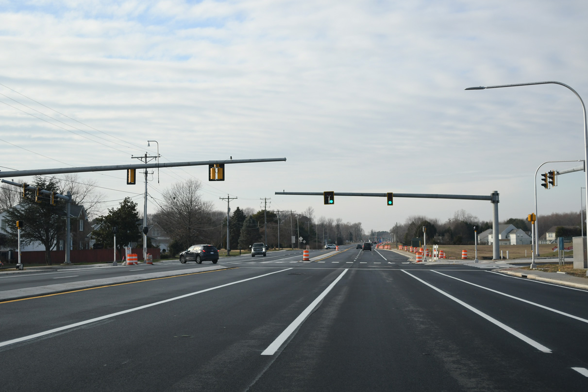
Construction of a new business park on the north side of SR 72 at Connell Drive got underway in 2019. Traffic lights were subsequently added at newly built American Boulevard.
12/24/24
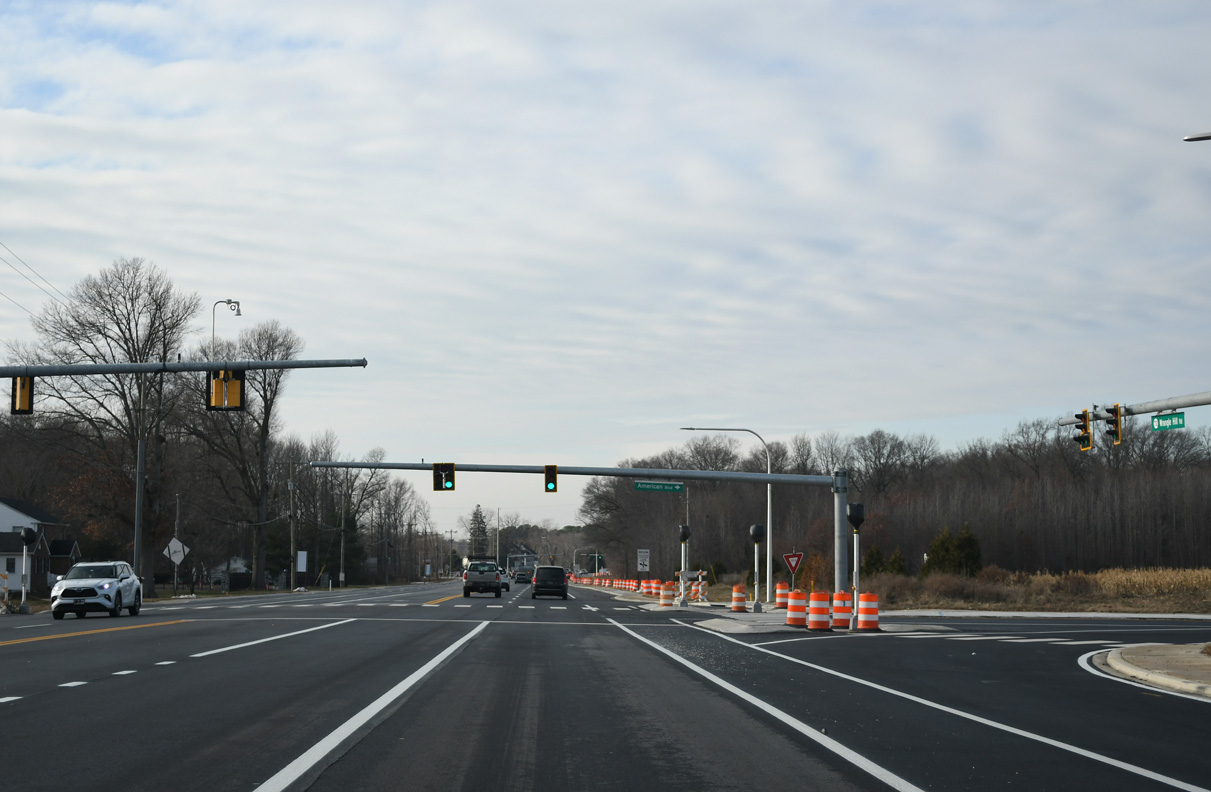
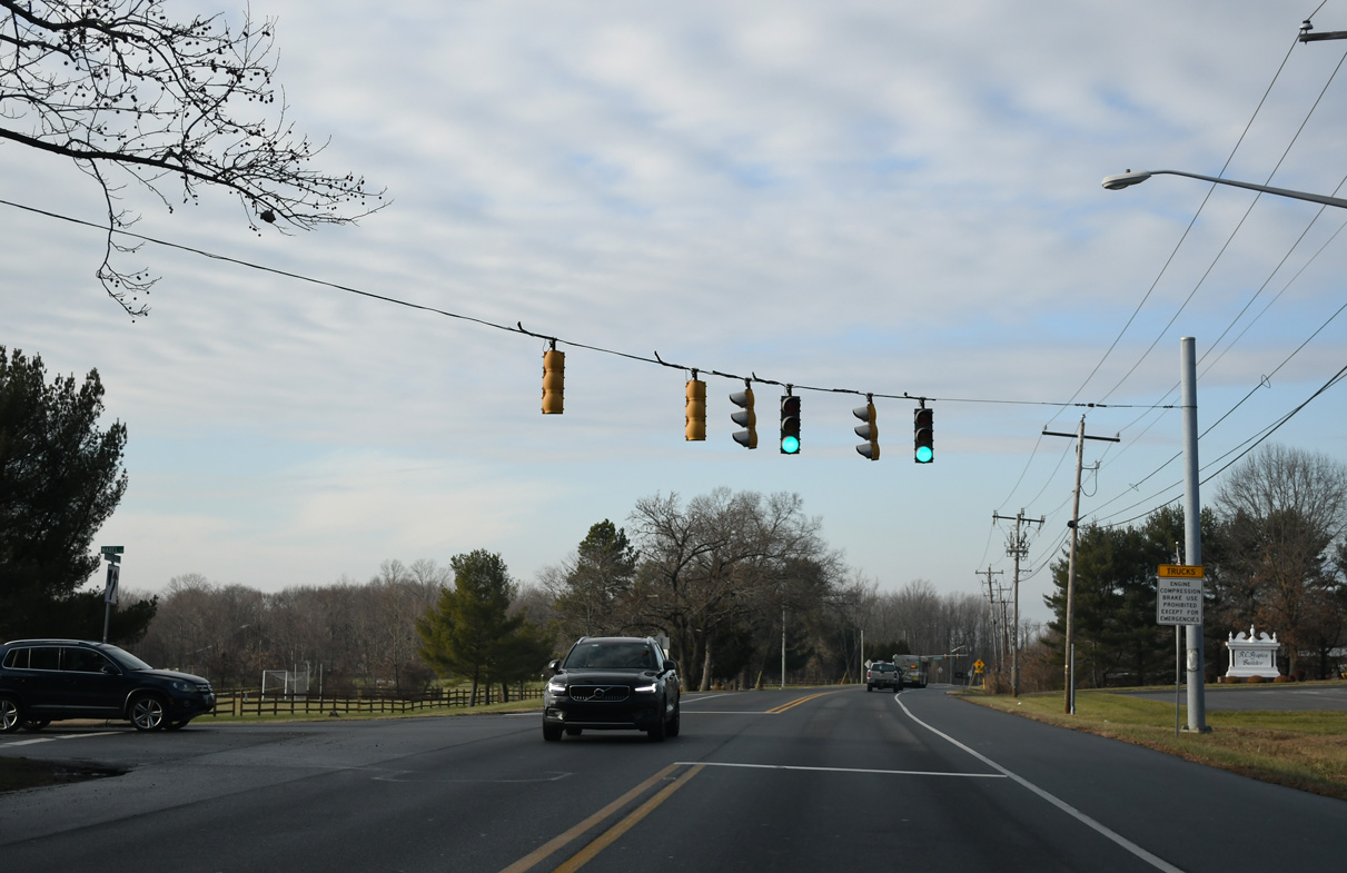
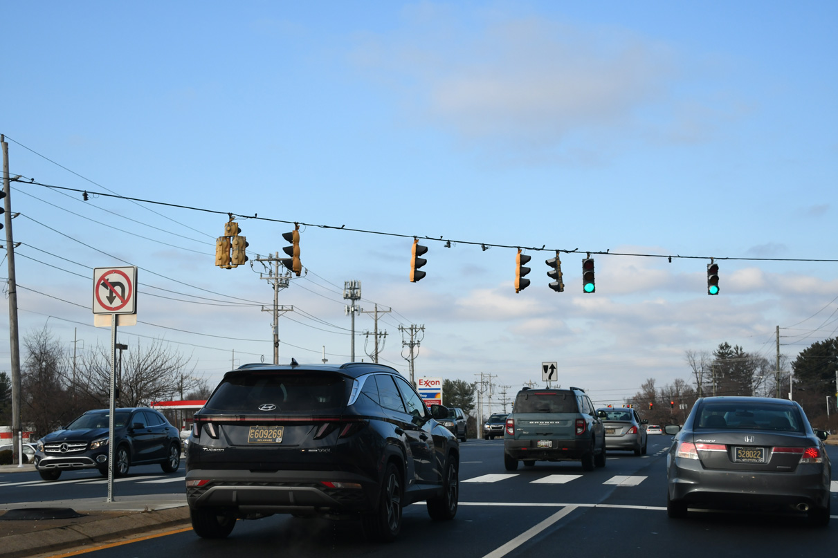
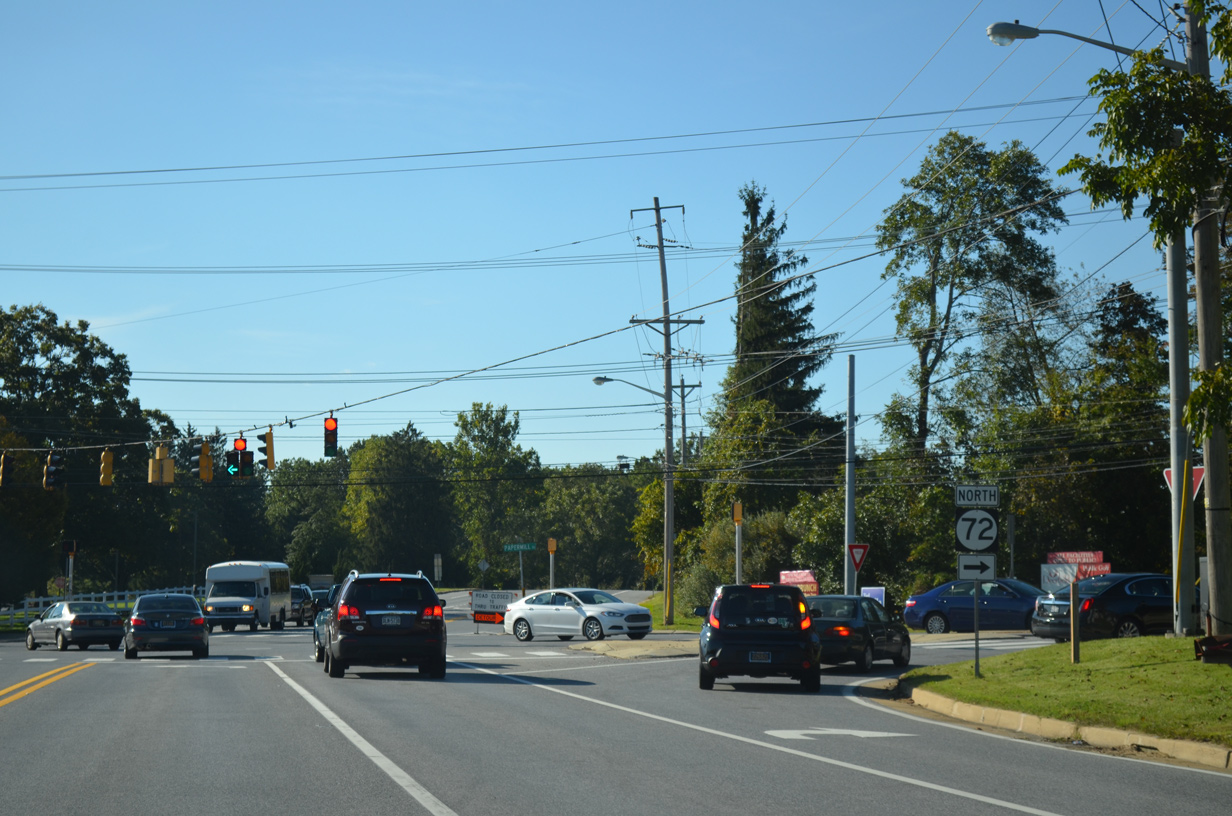
The alignment of SR 72 bends northward to the cross roads with SR 71 (Red Lion Road) at Williamsburg. SR 71angles southwest to Kirkwood and northeast to SR 7 at Red Lion and U.S. 13 at Tybouts Corner.
12/24/24
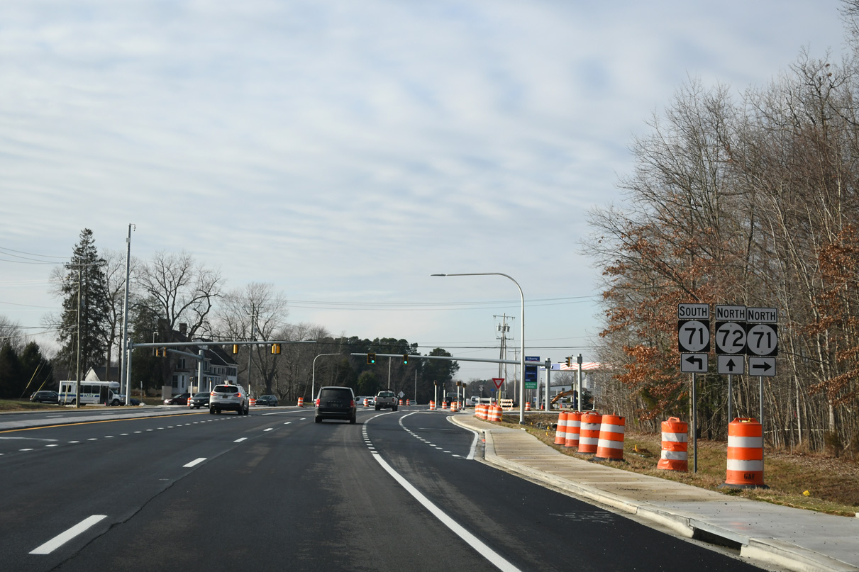
Entering the signalized intersection with SR 71 (Red Lion Road) on SR 72 (Wrangle Hill Road) north. SR 71 travels 22 miles overall, curving west from Kirkwood through Lums Pond State Park, and joining SR 896 south across the Summit Bridge toward Middletown and Townsend.
12/24/24
Wrangle Hill Road continues northwest from Willamsburg by an array of subdivisions to Frasers Corner. This scene shows the confirming marker posted after SR 71.
12/24/24

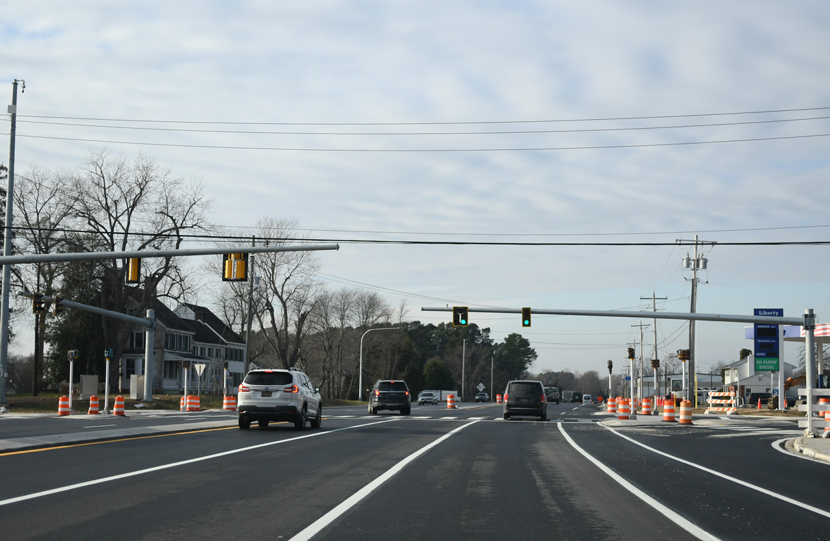
Porter Road arcs northeast from SR 72 to U.S. 40 at Bear and west to SR 896 at Glasgow.
12/24/24
Reassurance marker posted north of Porter Road (Rd 48/400).
12/24/24
Mabel Lane stems west from SR 72 to Caravel Academy and the Caravel Farms community.
12/24/24
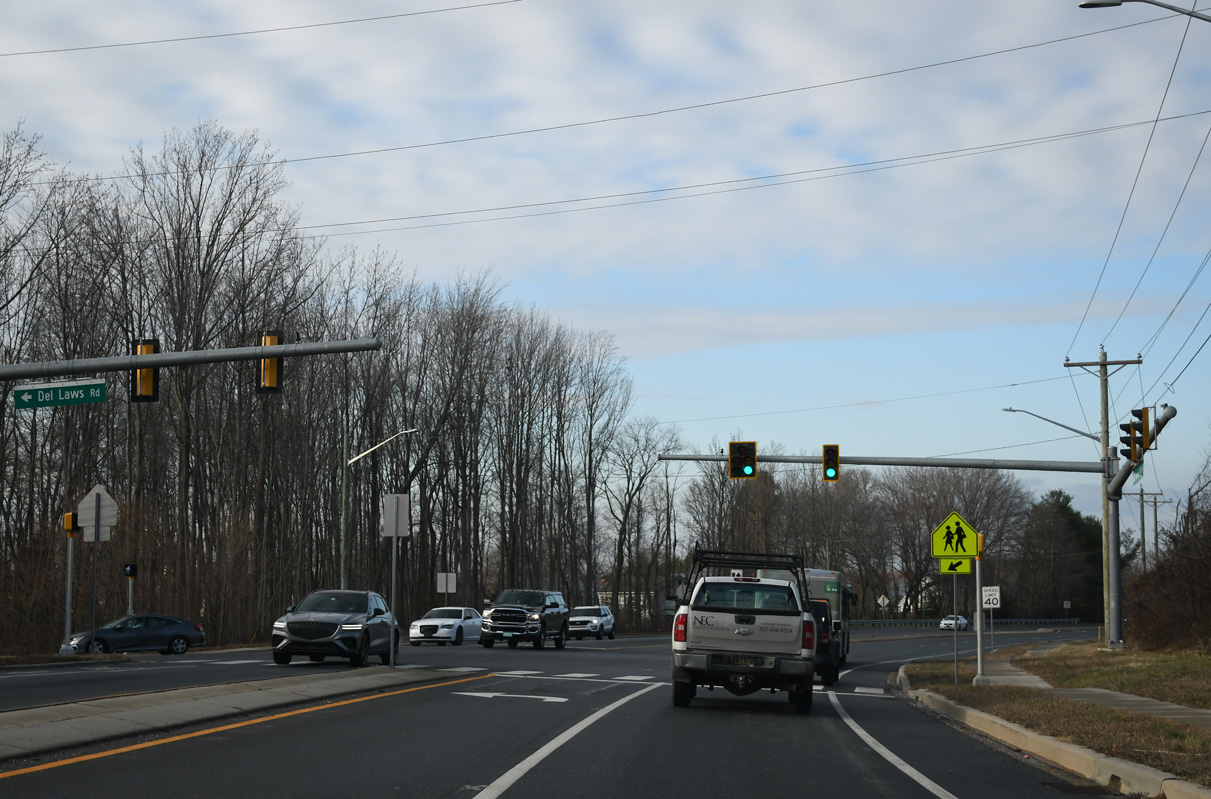
Work from Spring 2018 to Fall 2020 widened SR 72 both north and south of U.S. 40 to increase capacity, add or extend turn lanes, and install a new signal at Del Laws Road (Rd 401).
12/24/24
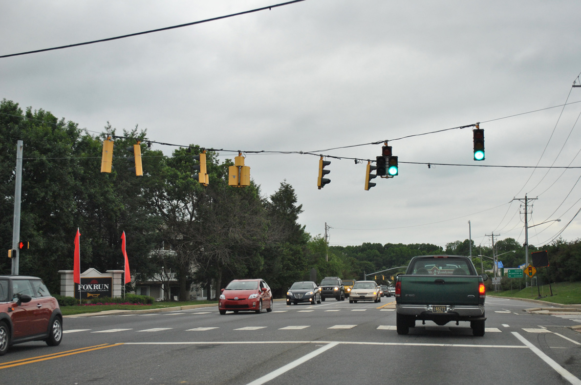
Turning more northward, SR 72 reaches Fox Run and Fox Run Shopping Center at the site of Frasers Corner. The intersection with U.S. 40 (Pulaski Highway) follows.
12/24/24
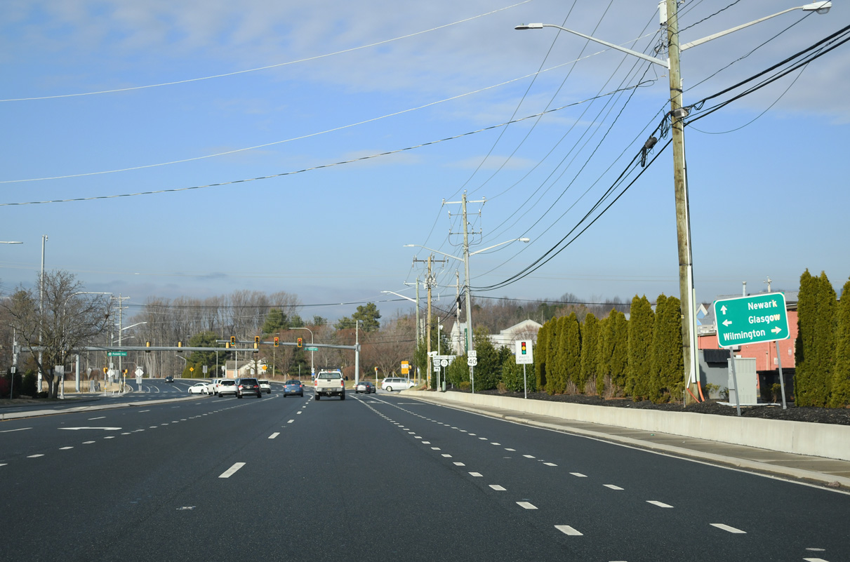
U.S. 40 constitutes a heavily traveled arterial west to Glasgow and Elkton, Maryland and east through Bear to U.S. 13 (Dupont Highway) at State Road.
12/24/24
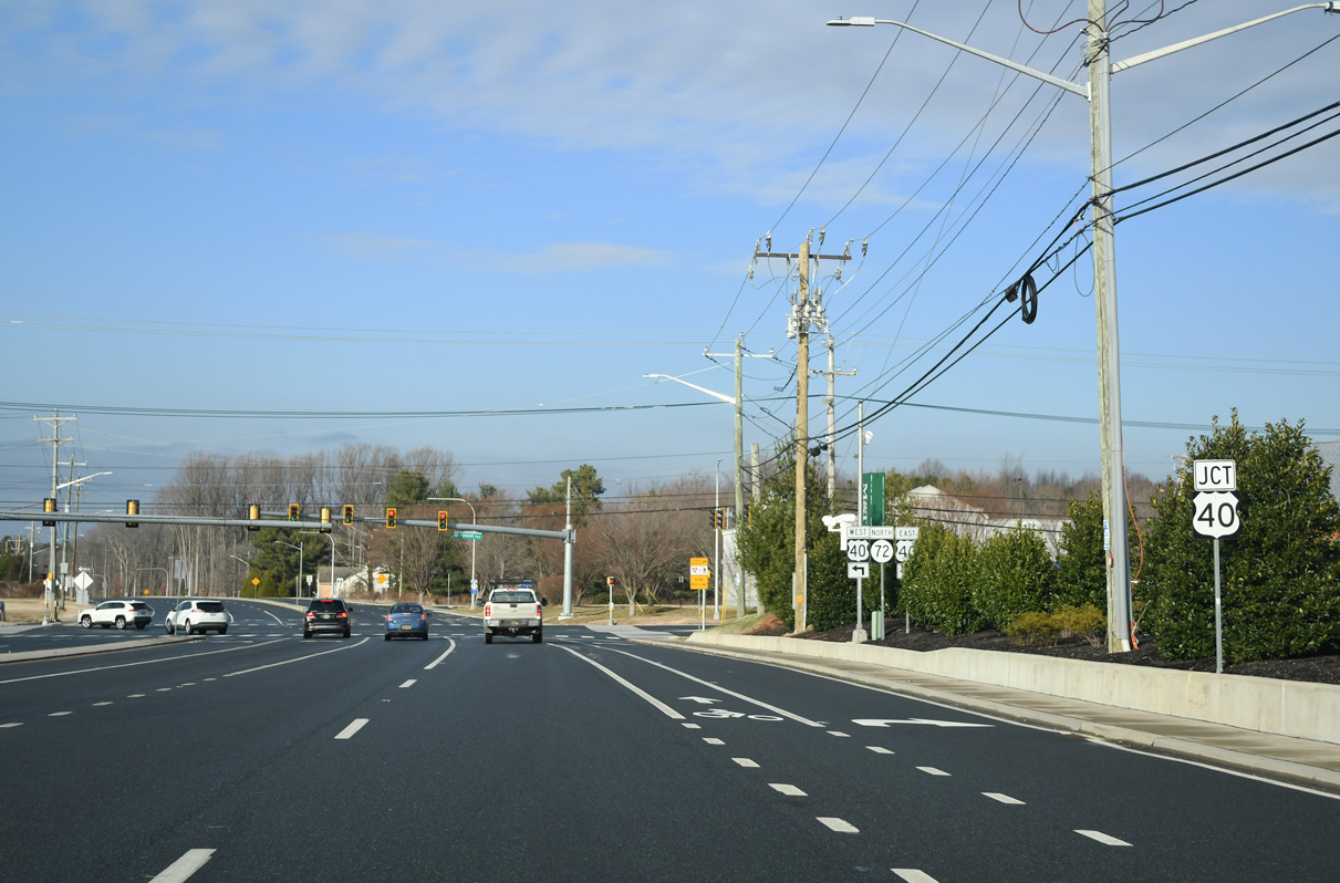
Construction in 1999-2000 improved the intersection with U.S. 40. 2018-20 work added an additional lane in both directions of SR 72 at Pulaski Highway.
12/24/24
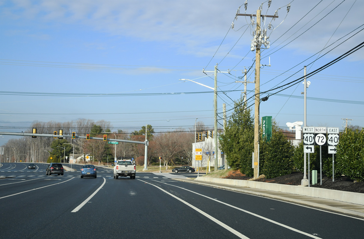
U.S. 40 generally serves local traffic between suburban areas of Glasgow and Bear. Pulaski Highway extends west to Baltimore, Maryland.
12/24/24
Confirming marker posted north of U.S. 40 and east of the Belltown Woods subdivision. Construction started here in 2018 expanded SR 72 northward to GBC Drive.
12/24/24
Advancing north from U.S. 40 (Pulaski Highway), SR 72 (Sunset Lake Road) transitions through rural areas by Glasgow Regional Park and Sunset Lake Preserve. Reybold Road links the state route with Salem Church Road to the east ahead of this reassurance marker that was removed by 2017.
06/18/12
The parallel Norfolk Southern Railroad line shifts sides with SR 72 (Sunset Lake Road) north of Reybold Road (Rd 385).
12/24/24
As identified by the 2011 Hazard Elimination Program (HEP), work scheduled for Summer 2017 improved the signalized intersection joining SR 72 (Sunset Lake Road) and Old Baltimore Pike (Rd 26) and reconstructed the medians. The suburban boulevard runs west to Iron Hill and Elkton and east to Christiana.
12/24/24
North from Old Baltimore Pike, SR 72 (S Chapel Street) continues along a four lane arterial by a series of industrial parks and below I-95 to Dawson Drive east and Bellevue Road.
12/24/24
Paralleling the Newark city limits, SR 72 next meets Blue Hen Drive west to Blue Hen Industrial Park and Scottfield Turn east into the Scottfield subdivision.
12/24/24
The succeeding signal operates at the exit of Pencader Plaza shopping center and Kenmar Drive east to Brookside Park.
12/24/24

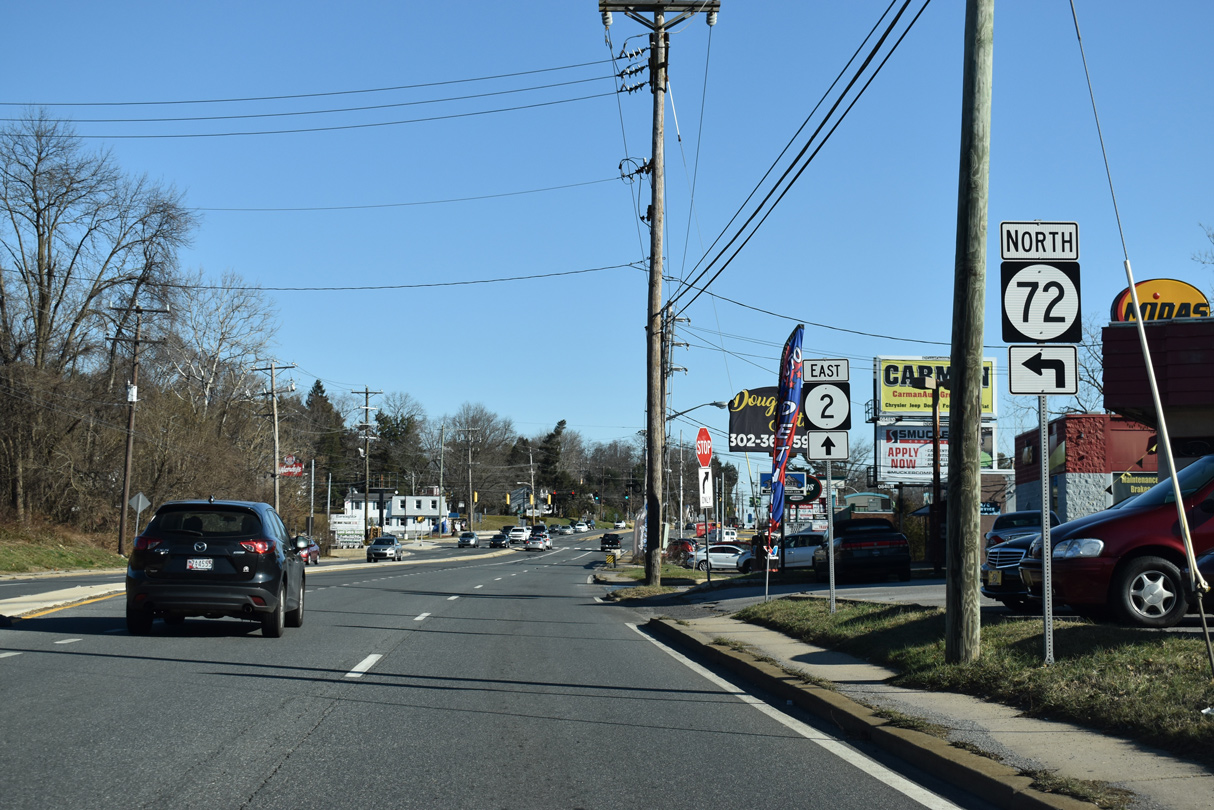
Forthcoming SR 4 (Chestnut Hill Road) encircles the south side of Newark west from SR 72 (S Chapel Street) to SR 896 (S College Avenue) and SR 279 (Elkton Road).
12/24/24
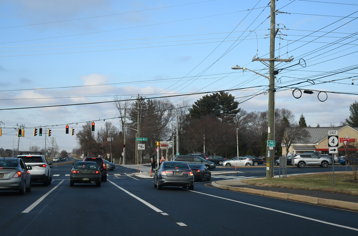
14 miles in length, SR 4 constitutes an arterial route east from Elkton Road in Newark to Ogletown, Stanton, Newport and Wilmington. Until Fall 2013, SR 2 overlapped with SR 4 west to Elkton Road and with SR 72 north to Capitol Trail as part the bypass of Downtown Newark.
12/24/24
S Chapel Street reduces to two lanes north from Brookside Park through University of Delaware (UD) agricultural areas.
12/24/24
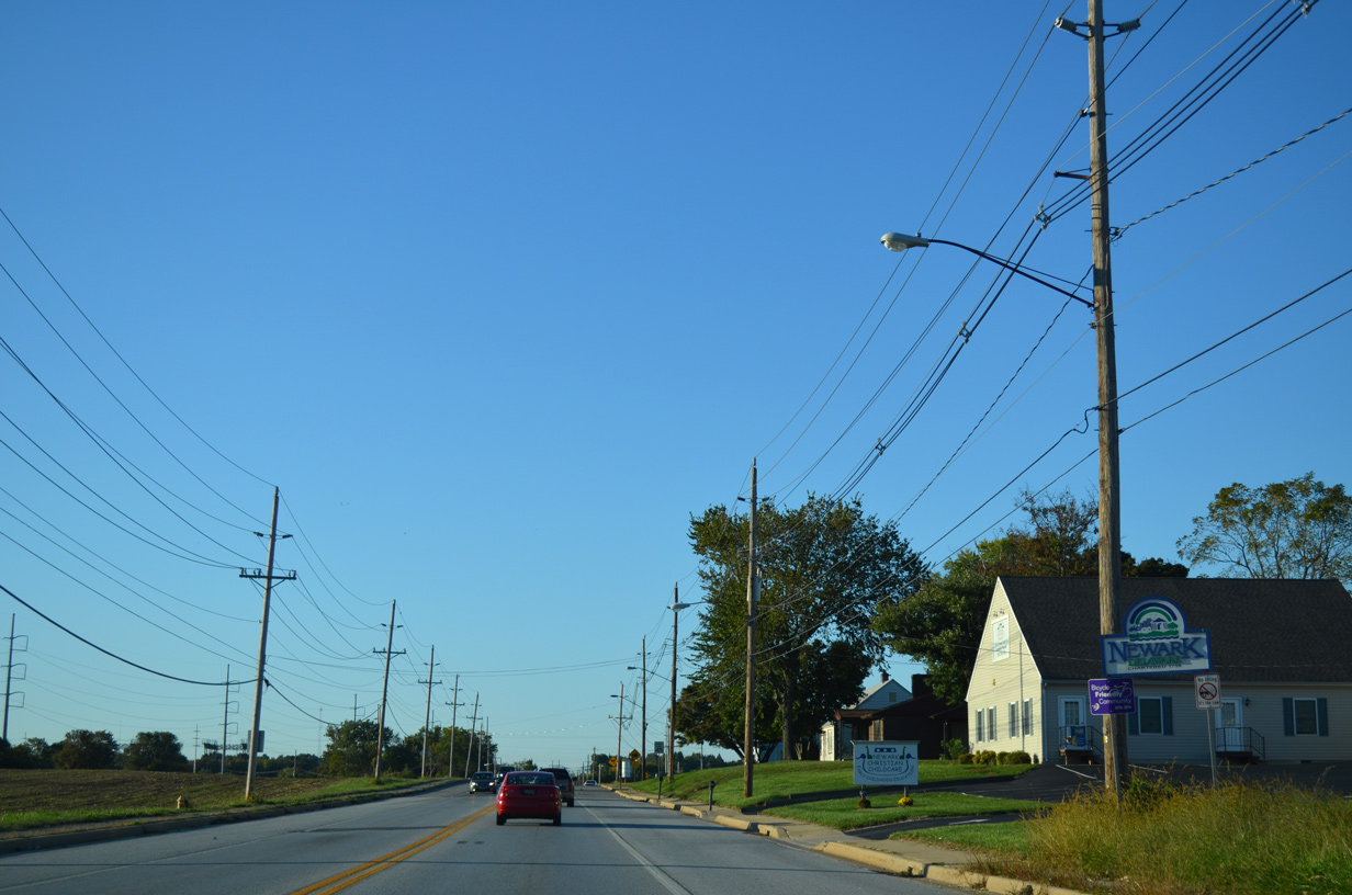
A welcome sign marks the Newark city line along SR 72 (S Chapel Street) northbound.
09/27/14
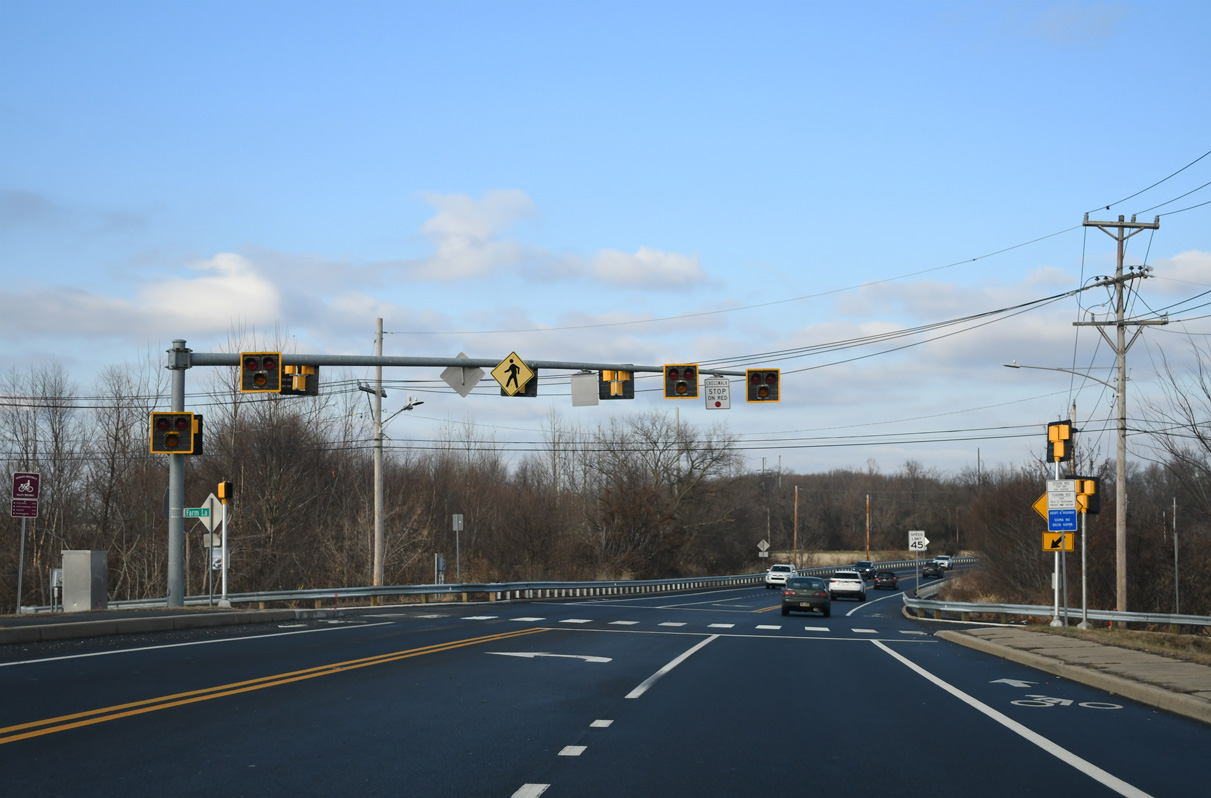
SR 72 transitions into Library Avenue at Farm Lane west and Webb Lane. Farm Lane connects Library Avenue with a disconnected section of S Chapel Street north and the University of Delaware's Webb Farm. A HAWK signal was activated here on August 6, 2010.1
12/24/24
Library Avenue ascends over the AMTRAK Northeast Corridor ahead of Wyoming Road. Wyoming Road links SR 72 with S Chapel Street (old SR 72) and Park Place west to the UD campus and Delaware Technology Park at Marrows Road to the east.
12/24/24
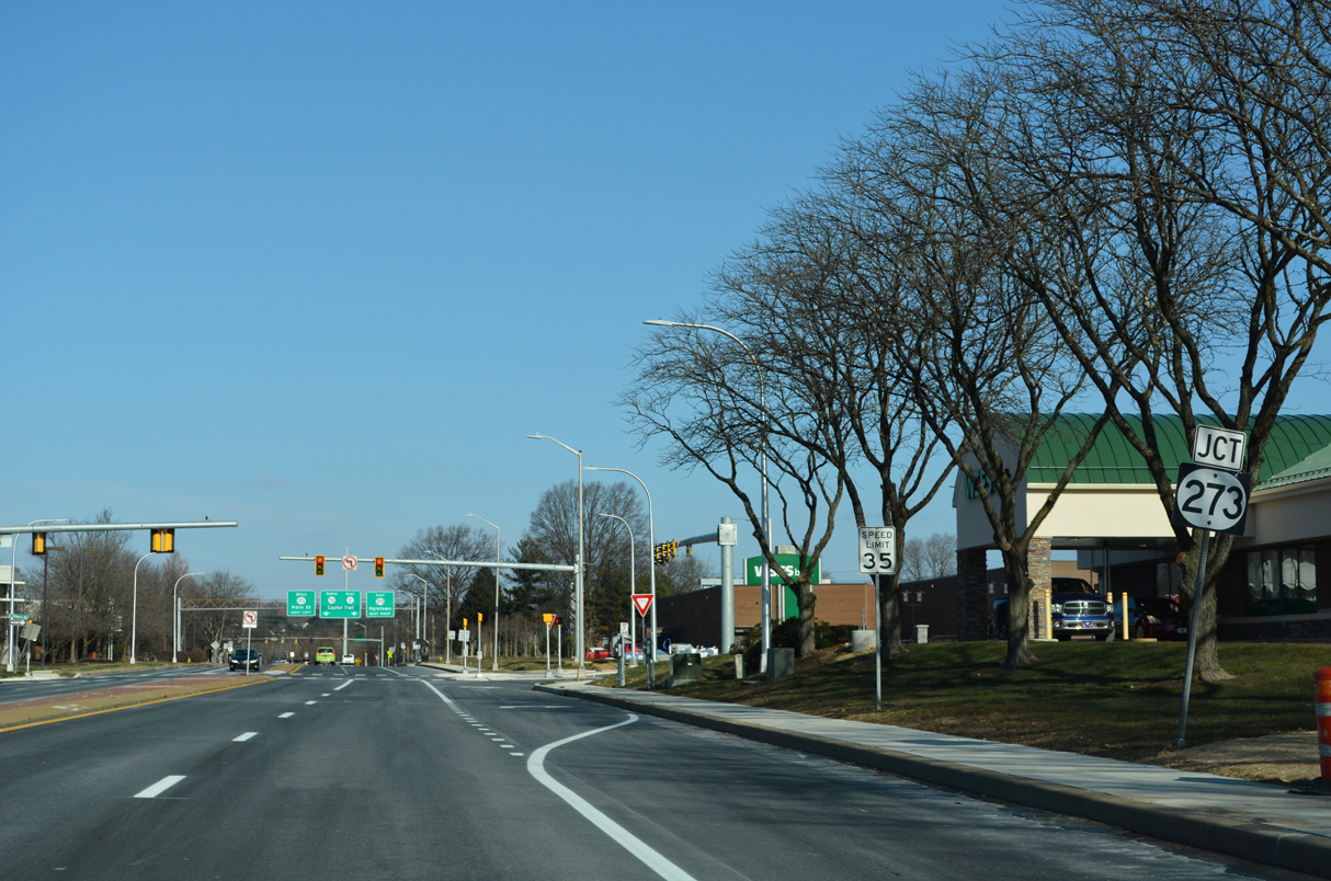
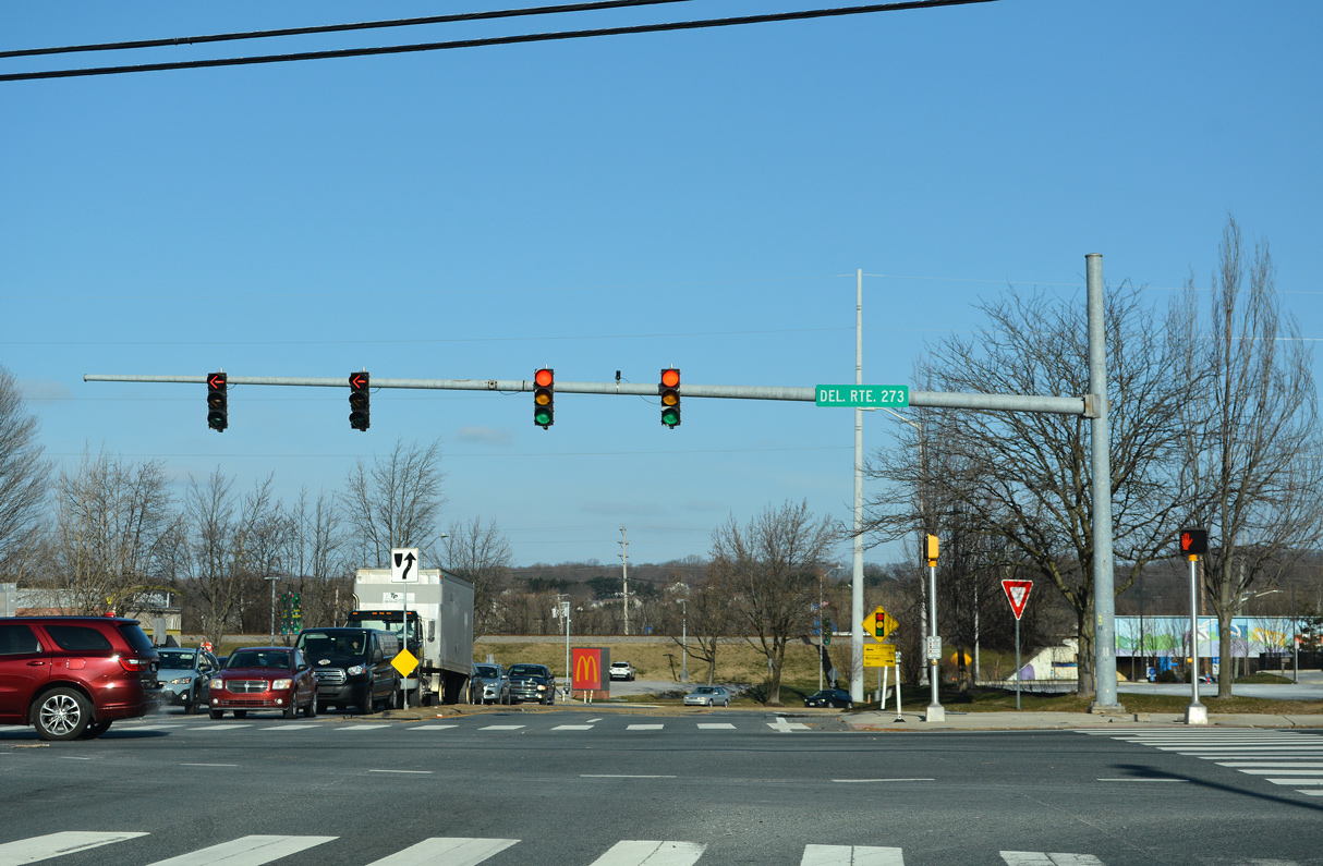
SR 72 widens into a four lane arterial northward by Newark High School and ahead of SR 273 (E Delaware Avenue) eastbound.
12/24/24
SR 273 eastbound follows Delaware Avenue from S Main Street to SR 72 (Library Avenue) north. The state route combines with SR 72 from the entrance to The Grove at Newark mixed use development to Ogletown Road.
12/24/22
North  East
East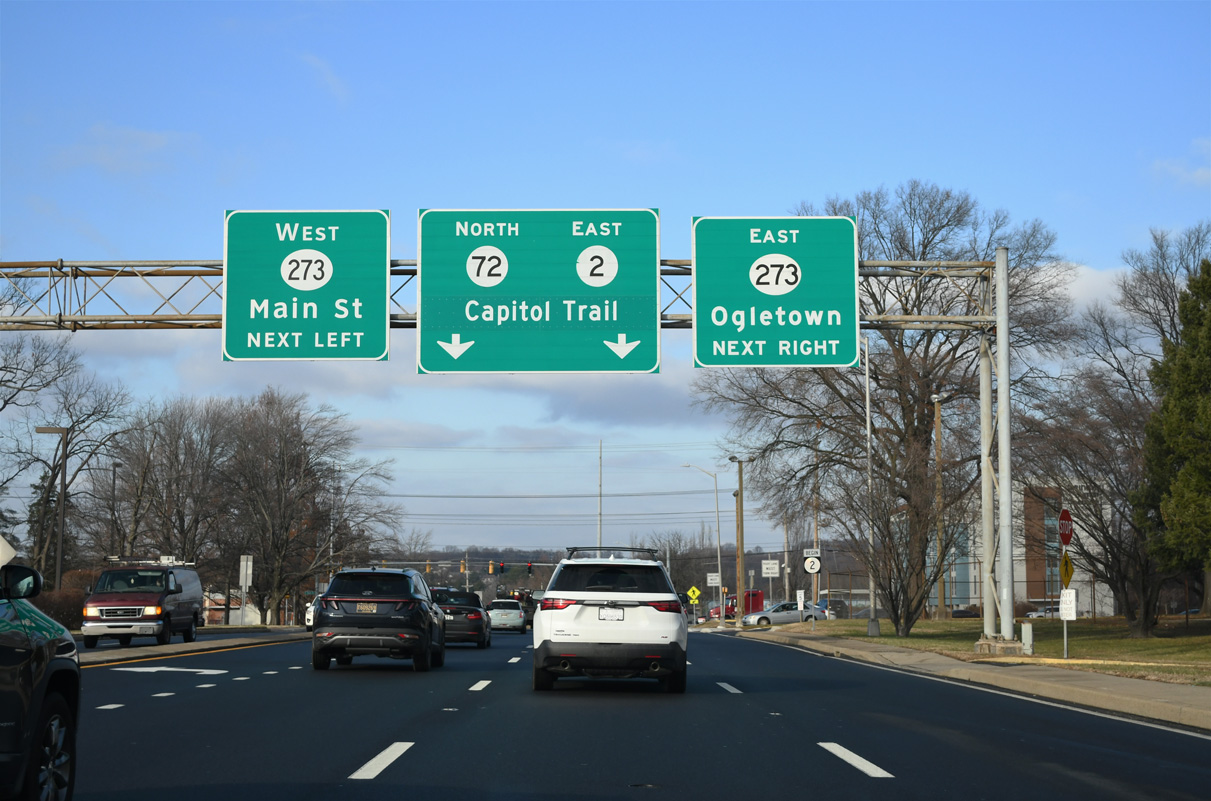
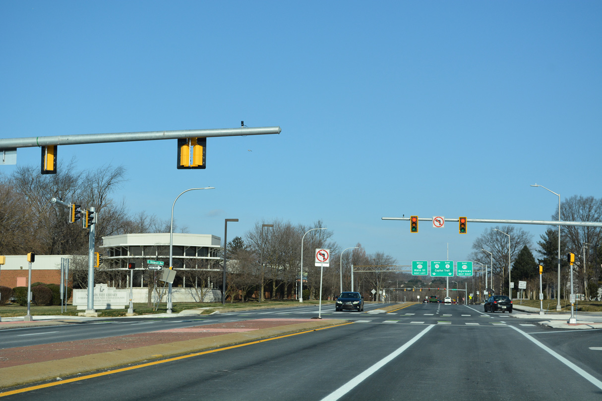
Library Avenue continues two tenths of a mile north to E Main Street and Ogletown Road. SR 273 extends east through industrial areas outside the Newark city limits to Ogletown, Christiana and New Castle. The westbound direction of SR 273 takes Main Street through Downtown Newark.
12/24/24
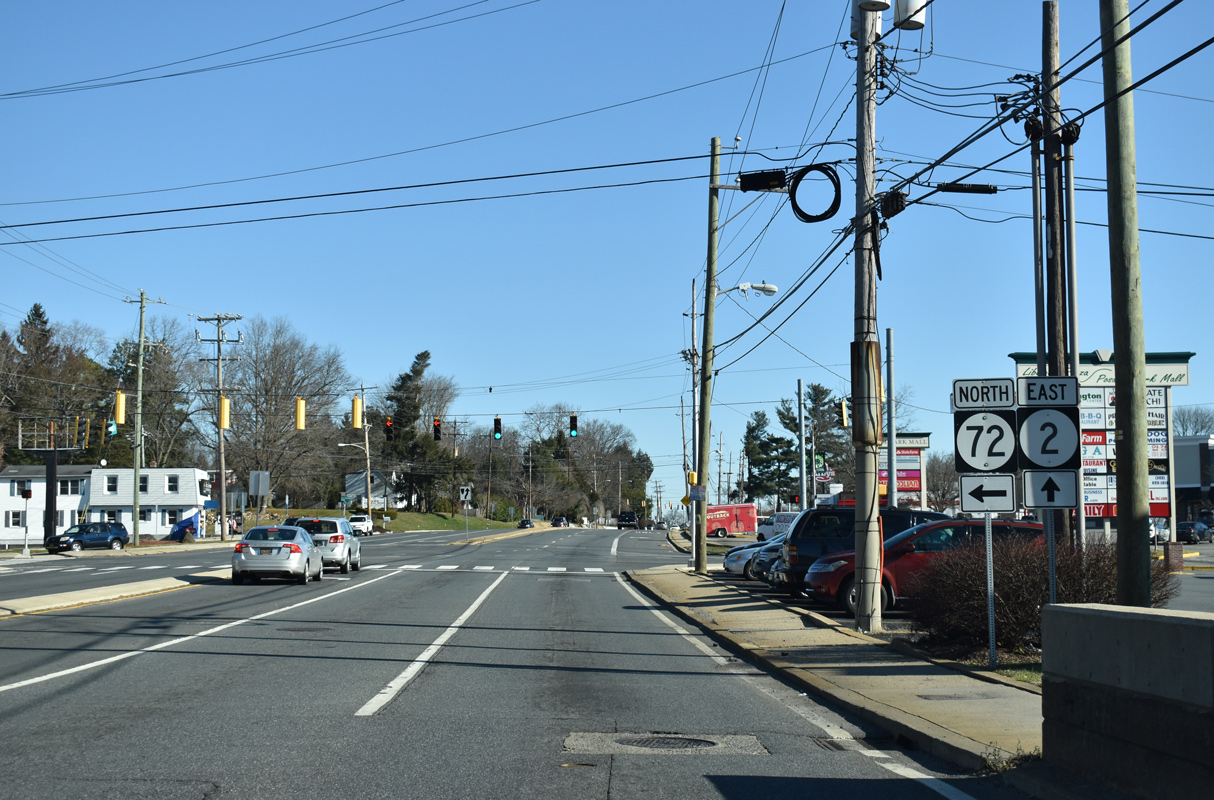
The west end of SR 2 was moved from the Maryland state line to the separation of SR 72/273 at Capitol Trail in Fall 2013. The remainder of SR 2 travels 10.81 miles east to Pike Creek Valley, Elsmere and Wilmington.
12/24/24
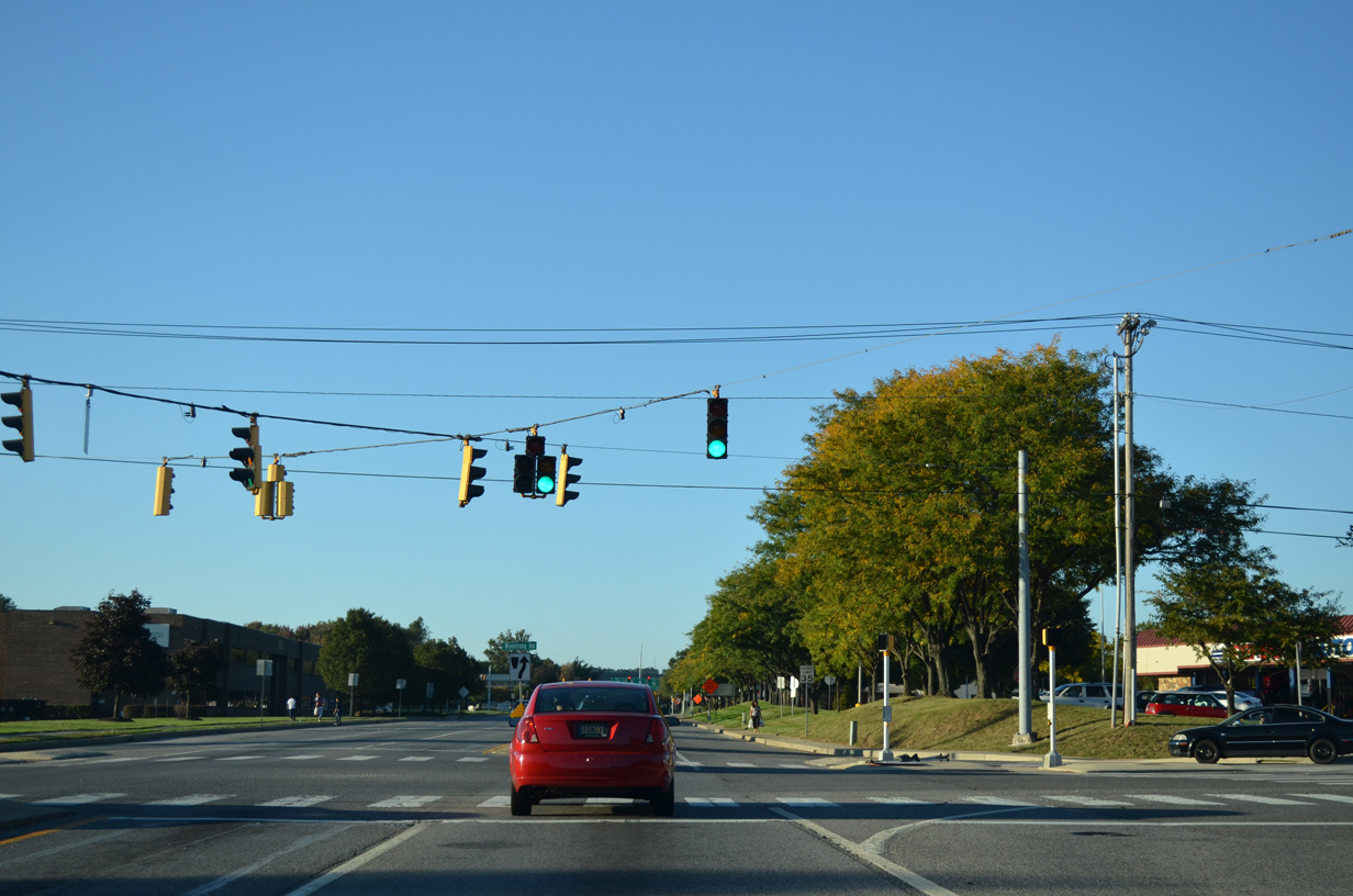
Mast arm traffic light assembly at the intersection of SR 2, SR 72 and SR 273. SR 2 Business was cosigned with SR 273 west along Main Street from 1988 to 2013.
12/24/22
 East North
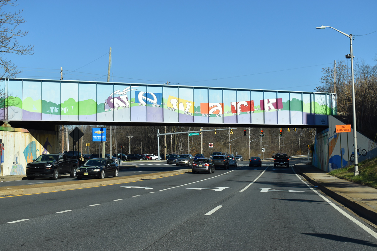
SR 2 east commences alongside SR 72 north on Capitol Trail from E Main Street to the CSX Railroad bridge preceding Cleveland Avenue (Rd 309).
12/26/20
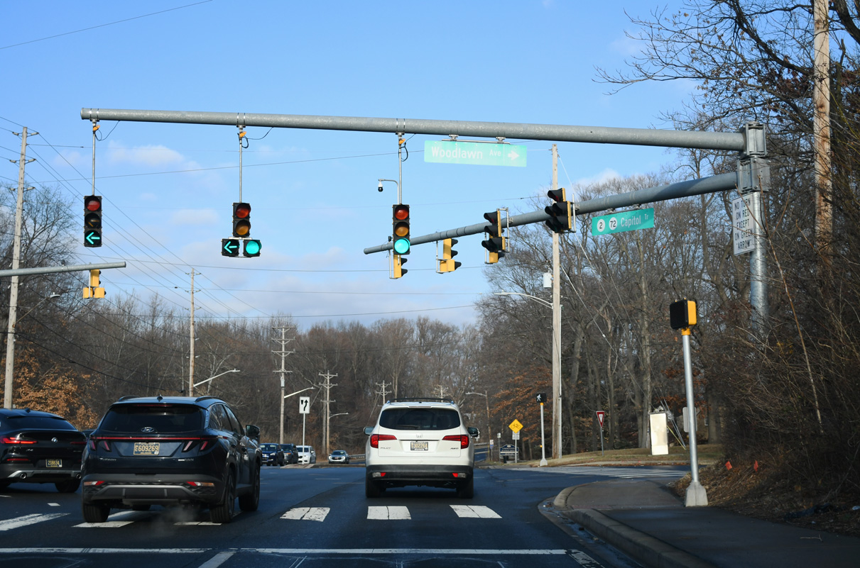
Cleveland Avenue (Rd 309) east and Woodlawn Avenue west tie into SR 2/72 (Capitol Trail) just beyond the CSX Railroad bridge. Cleveland Avenue is a minor arterial leading 1.31 miles west to SR 896 (New London Road) and SR 273 along W Main Street.
12/24/24
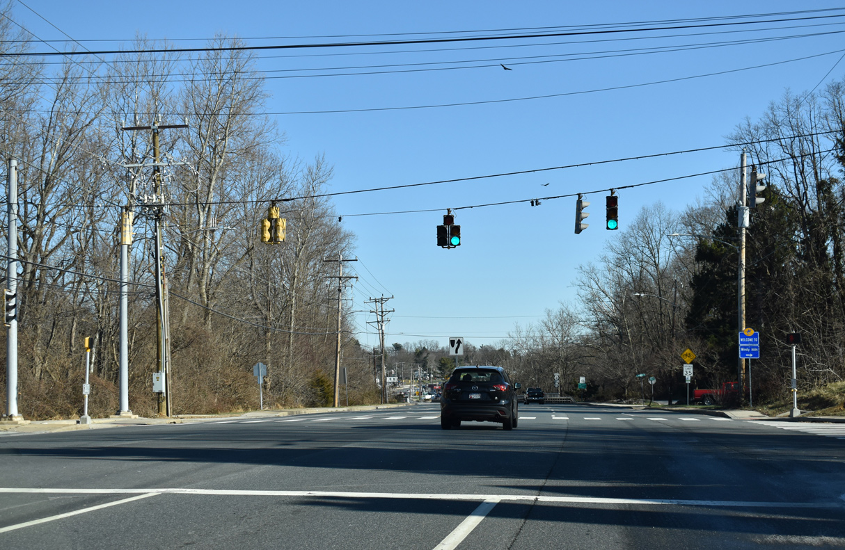
Anna Way (Rd 101) connects SR 2/72 with the Stafford and Windy Hills neighborhoods.
12/26/20
The reassurance markers for SR 2/72 posted after Anna Way were relocated further east at White Clay Creek and the Newark city line. They were subsequently removed by 2023.
01/02/19
Capitol Trail eastbound crossing White Clay Creek.
12/24/24
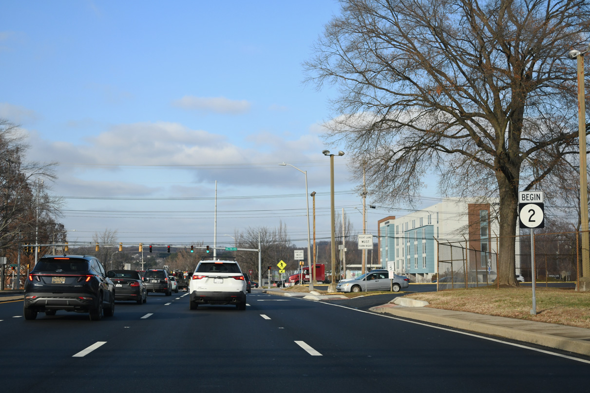
SR 72 branches north from SR 2 (Old Capitol Trail) along Possom Park Road north 1.86 miles to Milford Crossroads. SR 2 continues east to the Delaplane Manor and Roseville Park neighborhoods.
12/26/20
SR 2 travels another 9.62 miles east from SR 72 (Possom Park Road) to Prices Corner, the town of Elsmere and SR 52 (Pennsylvania Avenue) in the city of Wilmington.
12/26/20
North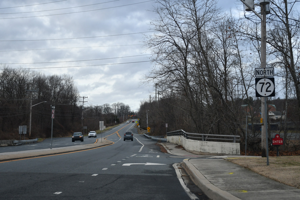
Beyond the 1.21 mile long overlap with SR 2 (Capitol Trail), SR 72 crosses a tributary of White Clay Creek along Possum Park Road north. Old Possum Park (Rd 215) parallels the route to the east.
12/29/24
The flashers along SR 72 (Possom Park Road) at the entrance to Holy Angels Roman Catholic Church were replaced with traffic lights in 2022.
12/29/24
Possum Park Road passes through suburban areas to the intersection with Thompson Station Road north and Paper Mill Road. Thompson Station Road extends the road north through White Clay Creek State Park while SR 72 turns east onto Paper Mill Road.
09/26/14
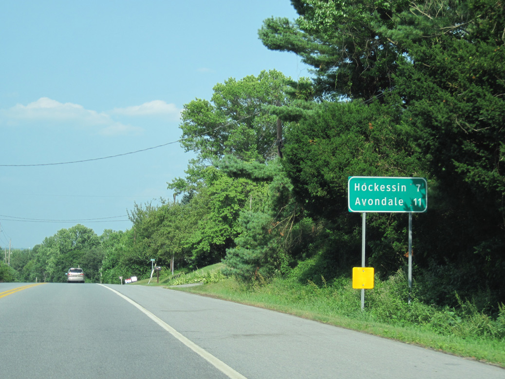
Continuing northeast between Middle Run Valley Natural Area and White Clay Creek State Park, motorists taking SR 72 will reach Hockessin in seven miles. Avondale, Pennsylvania lies 11 miles to the north via SR 7 (Limestone Road) and PA 41.
06/25/10
Crossing Pike Creek, SR 72 (Paper Mill Road) climbs 140 feet in elevation from the intersection with North Star and Upper Pike Creek Roads to SR 7 (Limestone Road).
04/17/04
SR 72 (Paper Mill Road) levels out at 346 feet above sea level to end at SR 7 (Limestone Road). SR 7 north extends 2.8 miles north to the Pennsylvania state line ahead of PA 41 and Kaolin.
12/24/18
SR 7 (Limestone Road) represents the main arterial route through the Upper Pike Creek Valley.
12/24/18
Widening of Limestone Road between 1999 and 2003 included expansion of the intersection with Paper Mill Road. The project eliminated an access road to an adjacent business on the east side of SR 7.
12/24/18
References:
- "HAWK signal swoops in." Newark Post (DE), August 13, 2010.
Photo Credits:
- Alex Nitzman: 04/17/04, 06/25/10, 06/18/12, 09/26/14, 09/27/14, 12/24/18, 01/02/19, 12/26/20, 12/23/22, 12/24/22, 12/24/24, 12/26/24, 12/29/24
Connect with:
Page Updated Tuesday January 07, 2025.