
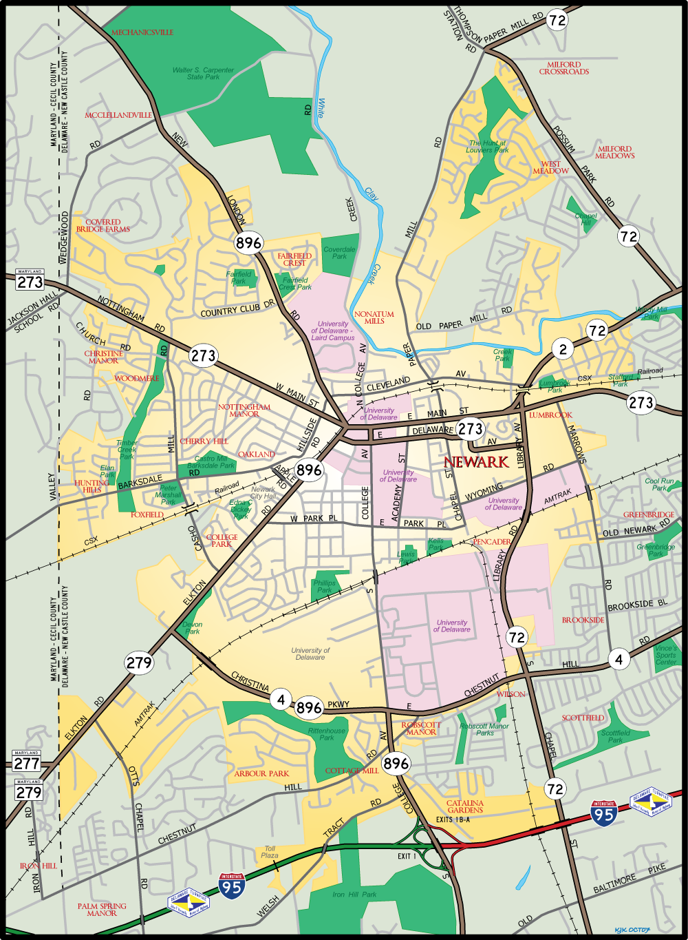
State Route 2

SR 2 constitutes a heavily traveled arterial across northern New Castle County. The state route follows Old Capitol Trail / Kirkwood Highway east from Newark to Elsmere and the couplet of Union and Lincoln Streets to Little Italy in Wilmington. Designated by the Delaware Highway Department in 1936,1 the route formerly extended west through Newark to the Maryland state line.
Delaware State Route 2 Guides
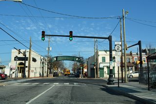
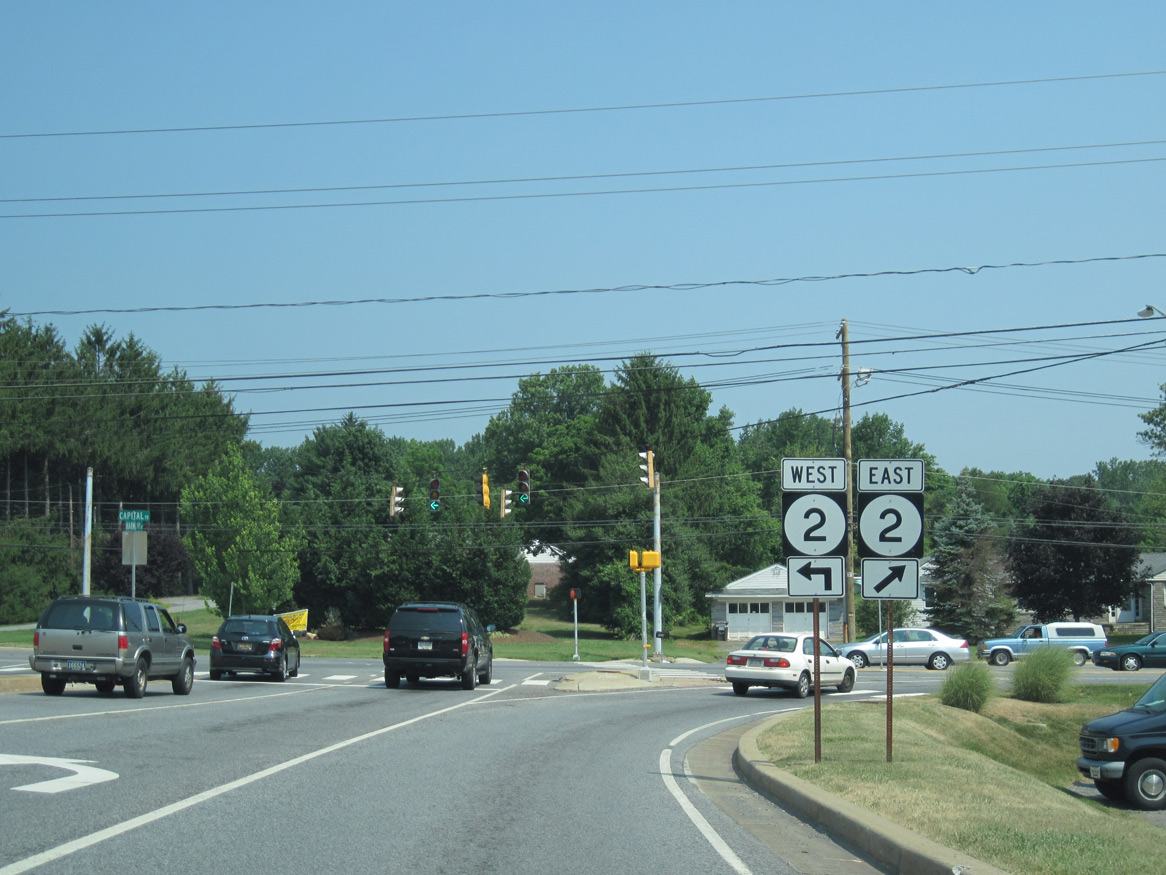
SR 2 was realigned to bypass Downtown Newark in 1988. The state route previously followed Elkton Road northeast from Christina Parkway to the one-way pair of Delaware Avenue east and Main Street west. The couplet passes through areas of the University of Delaware campus and the heart of the Newark business district. With on-street parking, several pedestrian crossings and an S-curve by Newark High School, routine congestion occurred along the route.
The new alignment took the state route east from Elkton Road via overlaps with SR 4 and 896 along Christina Parkway and Chestnut Hill Road and north to Capitol Trail along SR 72 (Library Avenue). The change was made to divert some of the through traffic off Main Street and Delaware Avenue through Downtown. SR 2 Business was posted in its place.
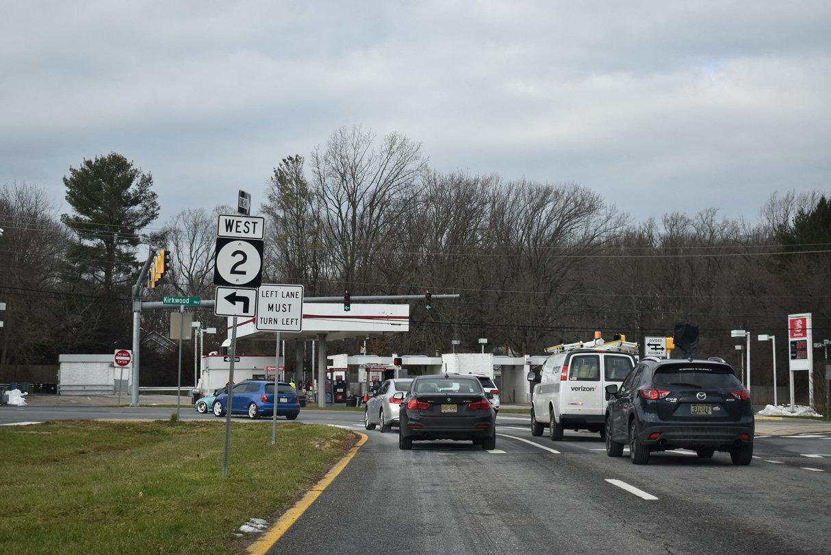
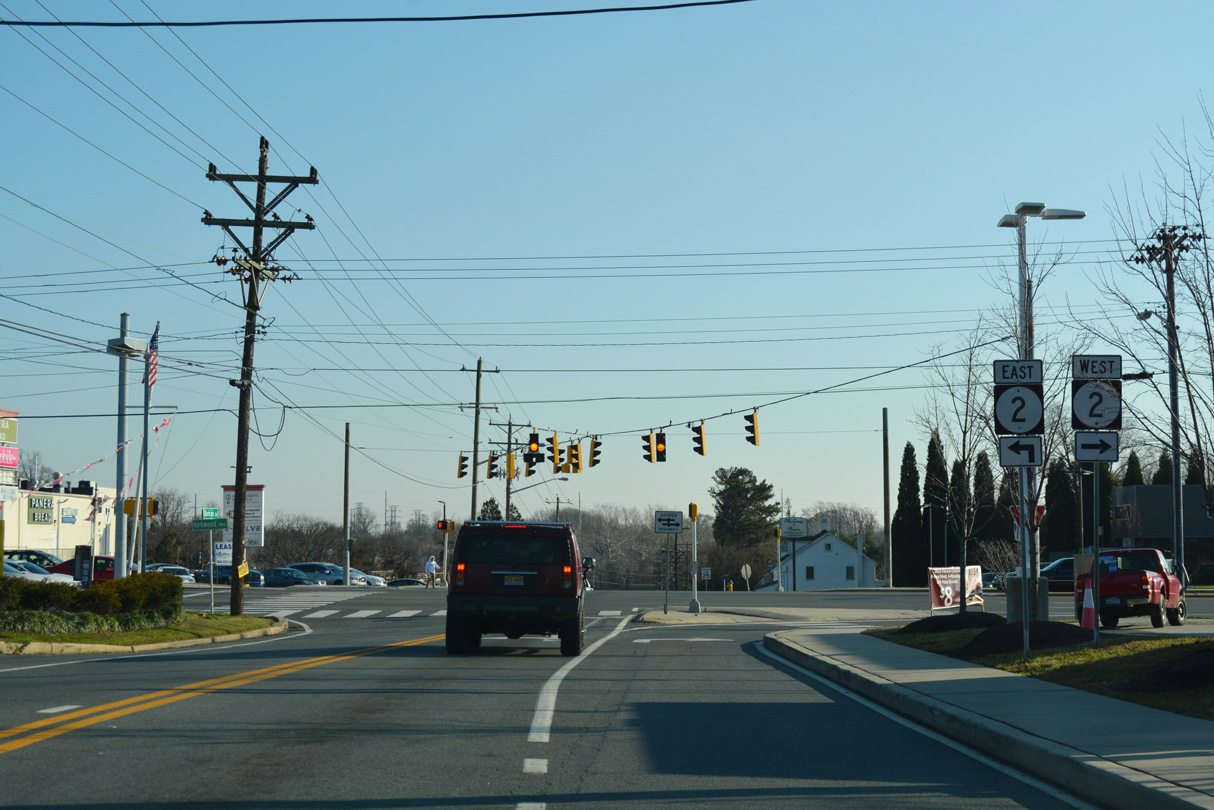
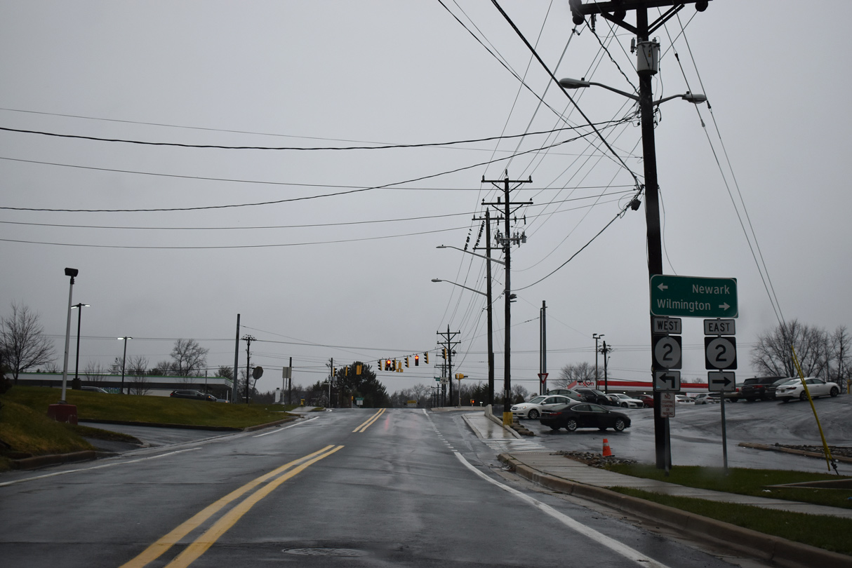
Additional changes were made in the city of Newark by Fall 2013. SR 2 was truncated east from the Maryland state line to the intersection of Library Avenue (SR 72) and East Main Street (SR 273) by College Square Shopping Center. SR 2 Business was decommissioned entirely, while Elkton Road west of Christina Parkway (SR 4) was renumbered as SR 279 to match MD 279 in Cecil County.
The renumbering of SR 2 and SR 2 Business in 2013 removed several overlaps in an effort to simplify the route system across Newark.
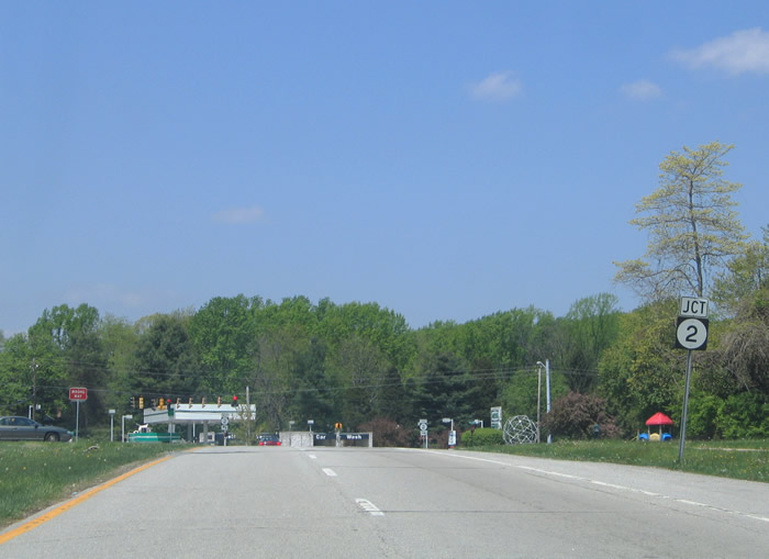
SR 2 runs concurrent with SR 72 east to Possum Park Road outside the Newark city limits. SR 72 turns north there to Milford Crossroads and the Upper Pike Creek Valley as SR 2 transitions into a commercial arterial, Kirkwood Highway, east to Elsmere.
Kirkwood Highway
Kirkwood Highway was constructed as a new alignment for Capitol Trail, a curvy two-lane alignment through Marshallton to the south, following the opening of Delaware Park in 1937. Both were designed in the early 1930s, with construction on the new dual highway underway in 1938.1
The new roadway for Capitol Trail extended west from New Road in Elsmere to bypass Marshallton. It was constructed west to Limestone Road, with the exception of a bridge over Red Clay Creek , by 1939. Portions of Capitol Trail not directly replaced by the highway were renamed Old Capitol Trail.1
The Capitol Trail bypass was finished in 1941. It was renamed by the Delaware General Assembly that year to honor Robert Kirkwood (1756-91), a native of Newark and officer in the American Revolution. The Kirkwood Highway name referenced only the new alignment for Capitol Trail. The 5.84 mile bypass portion ran from Pike Creek Road to the east end of New Road in Elsmere, where Route 2 transitioned to South Union Street in Wilmington. The remainder of Route 2 west from Pike Creek Road retained the name Capitol Trail.1 The highway was widened to the city of Newark by 1949. Kirkwood Highway is used synonymously with Capitol Trail in the Newark vicinity by locals and in street addressing today.
Almost all of the Kirkwood Highway frontage is developed with strip malls, retail shopping centers, residential subdivisions and apartment complexes. Polly Drummond Hill Road, Upper Pike Creek Road, Milltown Road, SR 7 (Limestone Road), and Duncan Road provide north-south routes from the arterial into the Pike Creek Valley suburbs.
Western reaches of Kirkwood Highway undulate over a series of hills associated with the edge of the Appalachian Piedmont. A short stretch along White Clay Creek State Park reveals the former natural beauty of the area as SR 2 trudges east as a busy commuter route to Meadowbrook.
Kirkwood Highway expands into six lanes from St. James Church Road east to Prices Corner. The added capacity serves big box stores and other retail centered around the busy intersection with SR 7 (Limestone Road) near Marshallton. East of Duncan Road, SR 2 crosses Red Clay Creek on a 1940-built bridge that was expanded to six lanes in 1988.
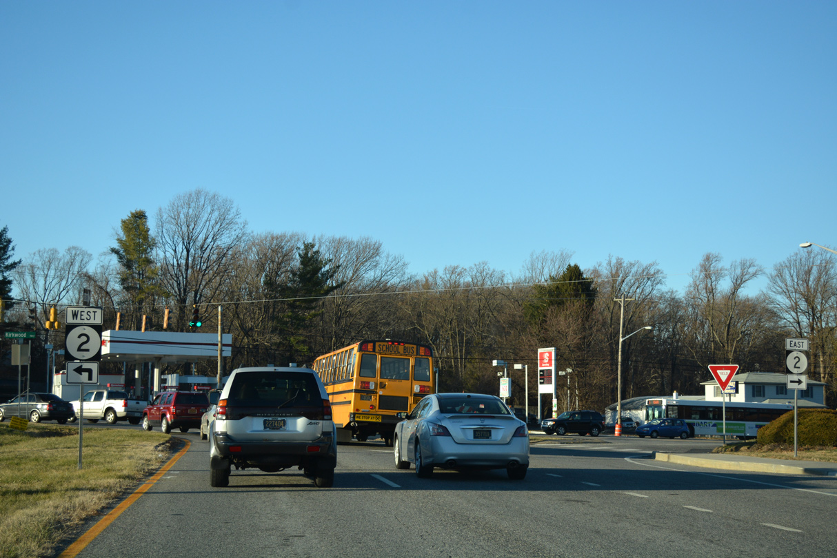
SR 41 (Newport Gap Pike) ties into Kirkwood Highway from Hockessin to the north at Prices Corner. Prior to 2015, the state route overlapped with SR 2 for a half mile east to the Newport Freeway (SR 141). The concurrency provided continuity between Newport Gap Pike and SR 141 south to I-95 and New Castle.
SR 41 previously ended at the southbound on-ramp from SR 2 (Kirkwood Highway) to SR 141 at Prices Corner. The end point was created in 1979, when the Newport Freeway was completed, and SR 41 dropped from its overlap with SR 141 south to New Castle. The exchange with SR 141 was constructed in 1972 to replace an at-grade intersection with Centerville Road (old SR 141). SR 141 follows the Newport Freeway south to Interstates 95 and 295 and Centre Road north to Greenville and Fairfax.
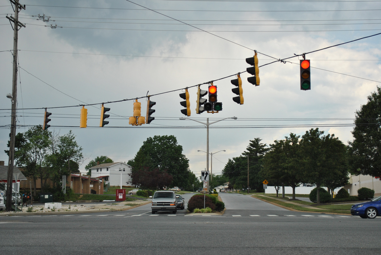
Continuing east from Prices Corner, SR 2 (Kirkwood Highway) enters the town of Elsmere and narrows to four lanes. Speed limits reduce to 35 miles per hour, and historically Elsmere garnered attention as a speed trap town. An improvement project through Elsmere during the early 2000s redesigned a portion of Kirkwood Highway into a landscaped boulevard with new planters, sidewalks, decorative signal mast arms and other landscaping.
Kirkwood Highway shifts SR 2 south from its original alignment along New Road, between Sanders Road and Rodman Road, through east Elsmere. New Road is discontinuous due to a CSX Railroad line while SR 2 passes over the tracks along a four-lane span east of SR 100 (Dupont Road). The original overpass was constructed in 1949. It was expanded to four lanes in 1985.
SR 2 enters the city of Wilmington at Canby Park as Kirkwood Highway ends. There the state route partitions into the one-way couplet of Lincoln Street (eastbound) and Union Street (westbound). Lincoln Street carries two lanes northeast to the Bayard Square and Little Italy neighborhoods to the state route end at SR 52 (Pennsylvania Avenue). Paralleling one block to the north, Union Street accommodates three lanes of traffic by the Flats and Union Park Gardens communities to Canby Park.
Delaware State Route 2 - 2015 Annual Average Daily Traffic (AADT)
- 30,038 - SR 273 to East Cleveland Avenue
- 40,489 - Newark city line to SR 72 (Possum Park Road)
- 31,821 - SR 72 (Possum Park Road) to Red Mill Road
- 29,245 - Red Mill Road to Harmony Road
- 43,435 - Henderson Road to Milltown Road
- 35,636 - Milltown Road to SR 7
- 43,544 - SR 7 to SR 41
- 48,858 - SR 41 to SR 141
- 23,882 - New Road to SR 100 (Dupont Road)
- 20,217 - Gedees Street to SR 48 (Lancaster Avenue)
- 26,269 - SR 9 (4th Street) to SR 52 (Pennsylvania Avenue)
 scenes
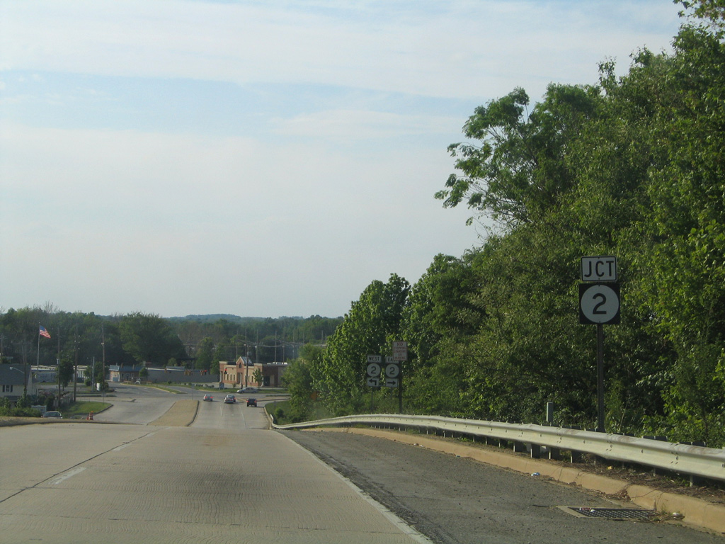
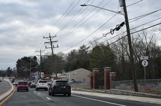
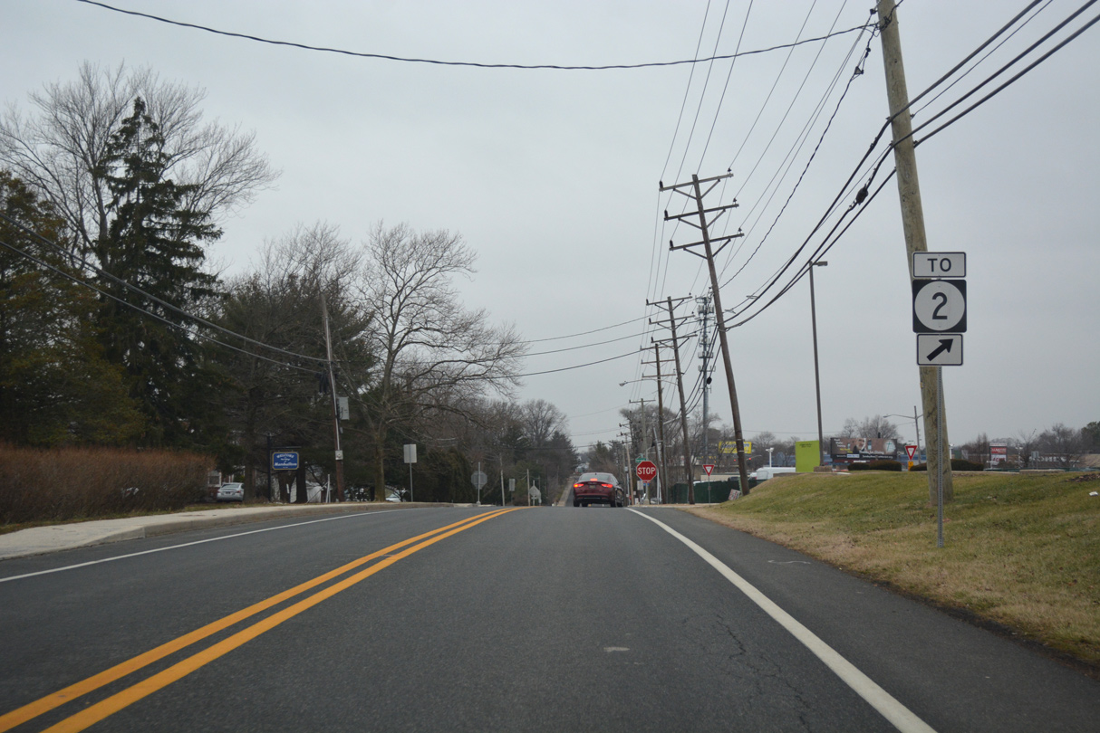
SR 2 shield assemblies posted along Otts Chapel Road north ahead of Elkton Road in Newark. These markers were taken down in 2014 when Elkton Road was renumbered as SR 279.
05/15/05
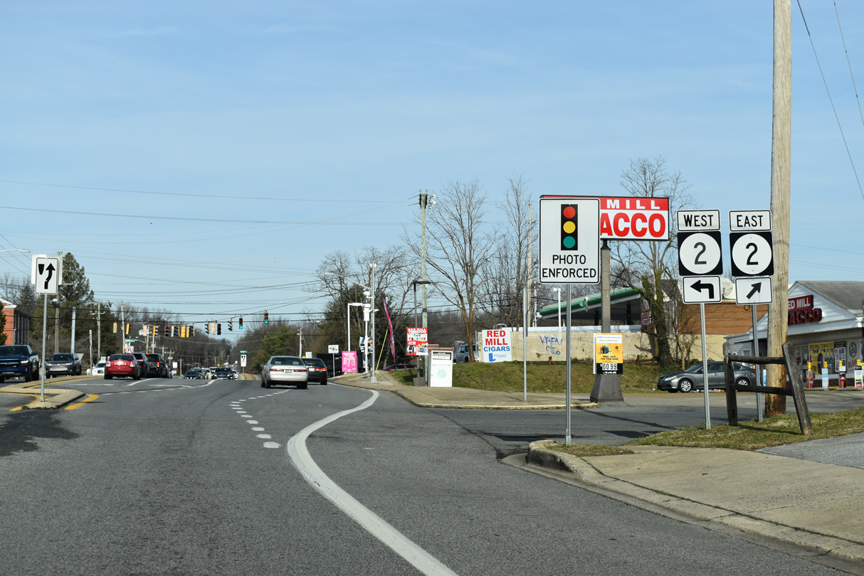
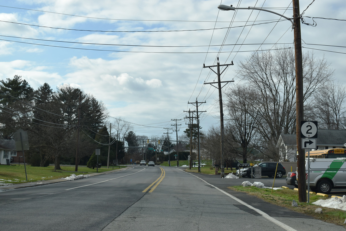
Connecting SR 273 with SR 2 (Capitol Trail), Red Mill Road (Rd 352) heads north from Ogletown.
12/23/20
Scheduled for 2022 Spring 2023-2024, the SR 2/Red Mill Road Intersection Improvements project makes safety improvements, adds a second lane north to Polly Drummond Hill Road and replaces traffic signals with mast arms.
12/23/20
Polly Drummond Hill Road descends from suburban areas of Drummond Hill through White Clay Creek State Park ahead of the intersection with SR 2 (Capitol Trail) and Red Mill Road.
06/25/10

Harmony Road (Road 355) provides a popular link from Interstate 95 and SR 273 north to SR 2 (Capitol Trail) and Pike Creek Valley. These shields precede Capitol Trail on Harmony Road north.
12/25/25
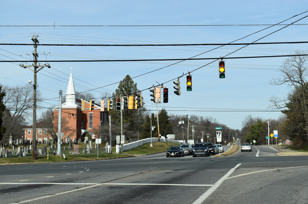
SR 2 (Capitol Trail) heads west from Harmony Road to Polly Drummond Hill Road and Newark. The arterial east lowers to cross Pike Creek ahead of the Meadowood community.
12/25/25
A span wire array with Eagle Flatback signals remained in service at Harmony Road and SR 2 until 2010.
06/26/10
Meadowood Drive north at SR 2 (Old Capitol Trail).
06/03/12
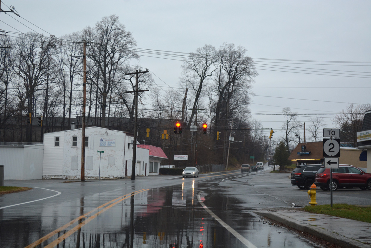
SR 2 trailblazer posted ahead of Delaware Park Drive on Old Capitol Trail west. Delaware Park Drive links the western segment of Old Capitol Trail with SR 2 (Kirkwood Highway). TO banners were removed from both assemblies on Old Capitol Trail by 2019.
12/22/20
Delaware Park Drive (Rd 11A) connects Kirkwood Highway with Old Capitol Trail west to the Eastburn Heights and Eastburn Acres subdivisions and the north entrance to Delaware Park Racetrack and Casino.
12/22/20
This junction assembly for SR 2 on Delaware Park Drive north was removed by 2015.
05/01/05
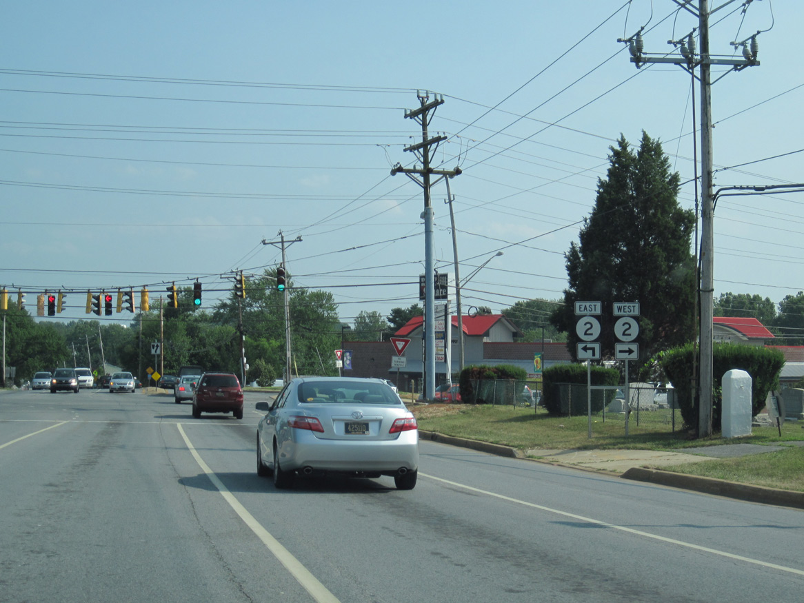
SR 2 (Kirkwood Highway) leads west from Delaware Park Drive to Meadowood and Newark and east to Prices Corner.
12/20/16
12/22/20
Farrand Drive links the eastern segment of Old Capitol Trail with SR 2 (Kirkwood Highway) at Marshallton.
01/01/19
01/14/17
Farrand Drive intersects SR 2 (Kirkwood Highway) at a commercialized intersection between Gordy Plaza and Farrand Center.
01/14/17

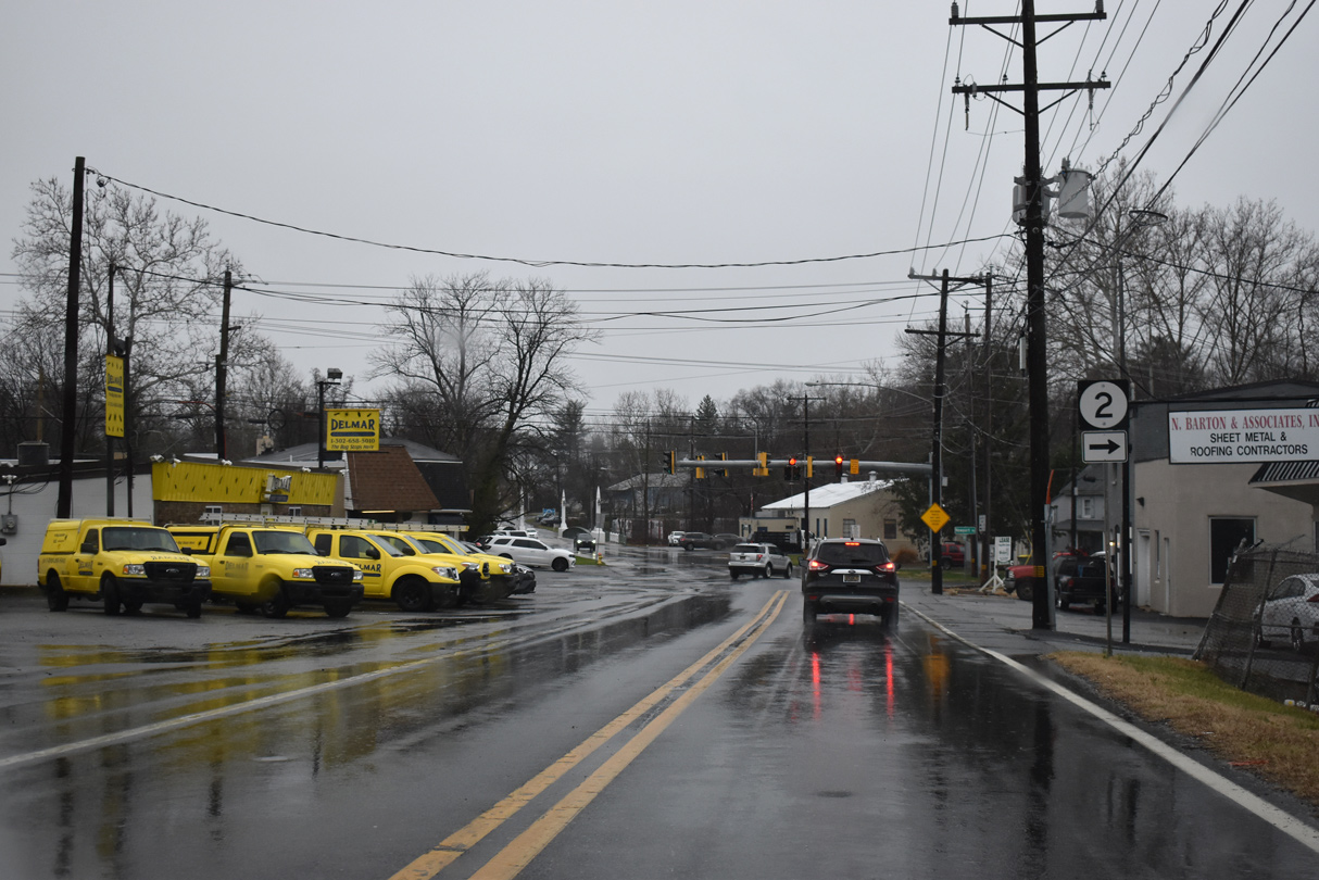
Farrand Drive extends north across Kirkwood Highway to the Kirkwood Gardens community. SR 2 west meets SR 7 (Limestone Road) just to the west.
01/14/17
Duncan Road south ahead of SR 2 (Kirkwood Highway) near Prices Corner.
12/23/18
Duncan Road leads south from McKennans Church Road and Delcastle Park toward Old Capitol Trail (Old SR 2).
12/23/18
Duncan Road intersects Kirkwood Highway just west of Red Clay Creek. South of SR 2, Duncan Road ends at Greenbank Road opposite Newport Road in Marshallton.
12/23/18
Newport Road (Road 332) heads north from Old Capitol Trail (Road 12) and Marshallton to connect with Duncan and Greenbank Roads north to SR 2 (Kirkwood Highway). Replacement of the vintage signals here in 2019 included a new SR 2 shield without a TO banner.
12/23/17
Old Capitol Trail (Road 12) west at Newport Road north to Duncan Road (Road 281) and SR 2 (Kirkwood Highway).
12/23/22
Duncan Road (Road 281) heads 0.27 miles north from Greenbank and Newport Roads to SR 2 (Kirkwood Highway).
12/23/22
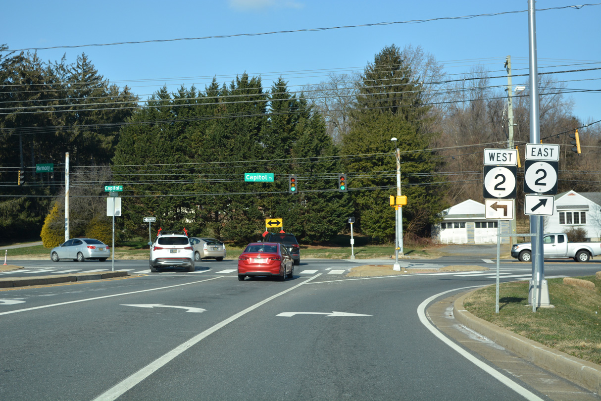
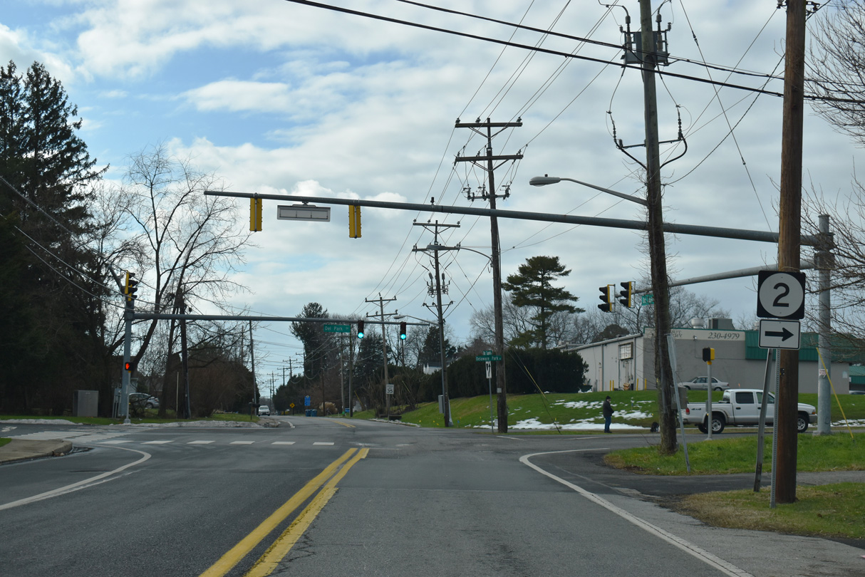
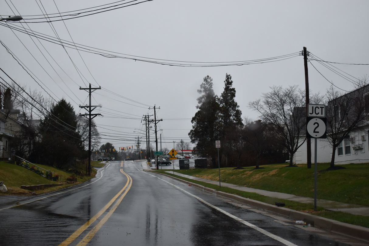
SR 2 (Kirkwood Highway) east crosses Red Clay Creek ahead of Prices Corner en route to Elsmere and Wilmington. West, SR 2 runs 6.50 miles to SR 72 (Library Avenue) and SR 273 (E Main Street) in Newark.
12/23/22
References:
- Francis, William. (2014) Images of America - Along the Kirkwood Highway. Charleston, South Carolina: Arcadia Publishing.
Photo Credits:
- Alex Nitzman, Lou Corsaro: 05/15/05
- Alex Nitzman: 05/01/05, 06/25/10, 06/26/10, 06/03/12, 12/20/16, 01/14/17, 12/23/17, 12/23/18, 01/01/19, 12/22/20, 12/23/20, 12/23/22, 12/25/25
Connect with:
Page Updated Tuesday January 06, 2026.