
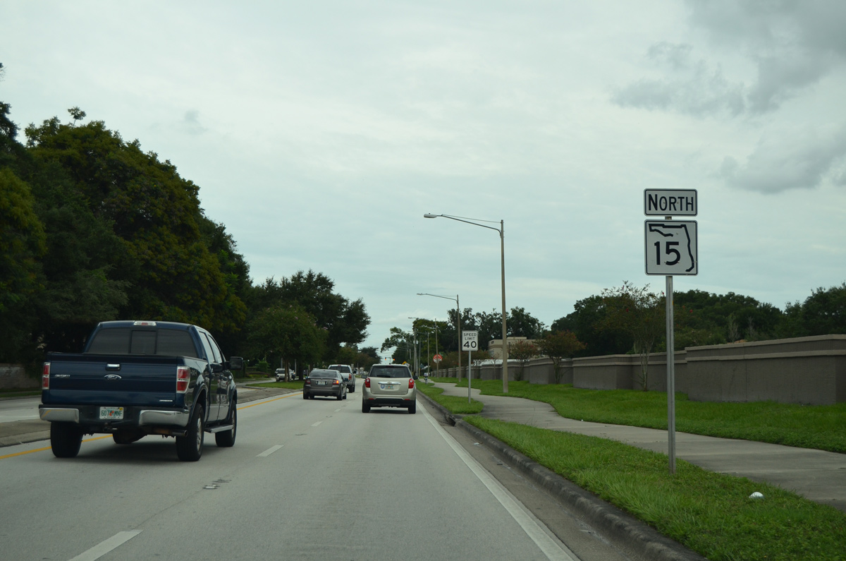
State Road 15 North - Orlando
 North
North
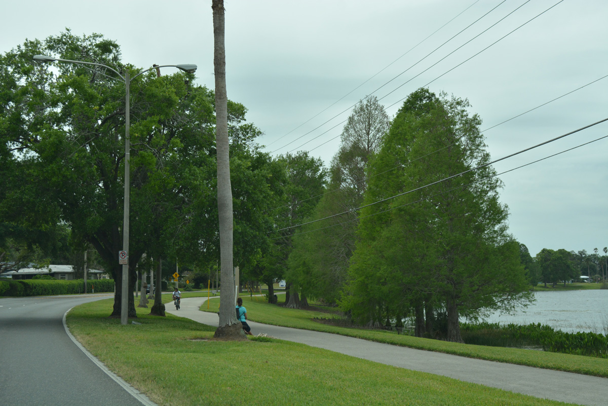
Narcoosee Road angles northwest along the Orlando city line by the Woodstone and Harbor Bend subdivisions in unincorporated Orange County to next intersect Old Goldenrod Road (SR 551). Old Goldenrod Road is formally SR 551, but not marked due to the Goldenroad Extension intersecting SR 15 nearby.
07/24/08
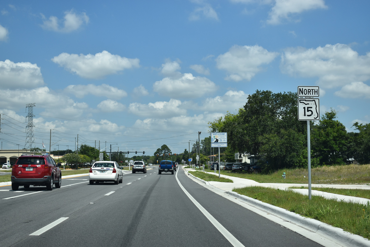
SR 15 confirming marker posted after Old Goldenrod Road (SR 551).
05/30/19
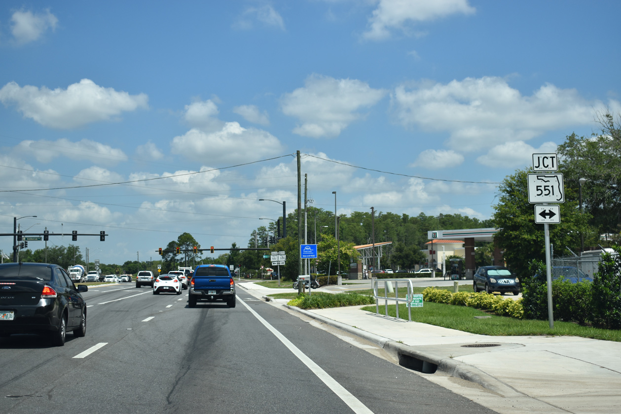
Shields along SR 15 reference Goldenrod Road as a part of SR 551. SR 551 overtakes Goldenrod Road a short distance north of SR 15 en route to Azalea Park and Goldenrod, east of the Orlando city limits.
05/30/19
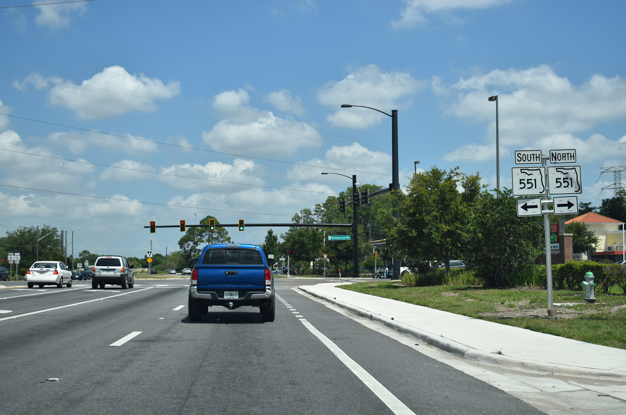
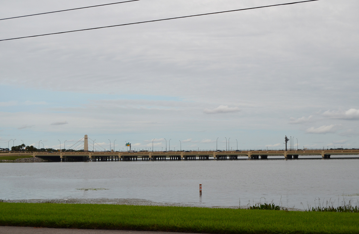
Goldenrod Road south from SR 551 and SR 15 (Hoffner Avenue) is a locally maintained arterial connecting with Heintzelman Boulevard around the east side of Orlando International Airport (MCO). The tolled extension to SR 528 (Beachline Expressway) opened to traffic in 2003.
05/30/19

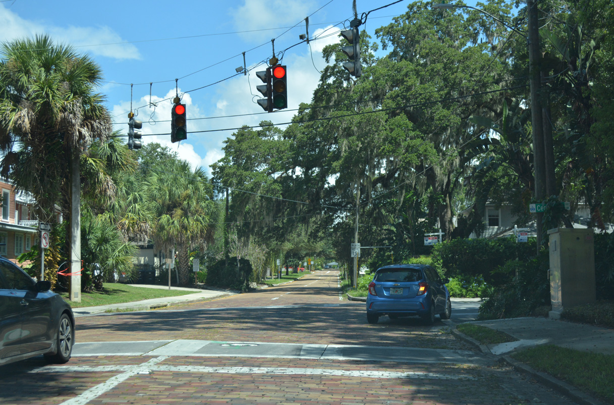
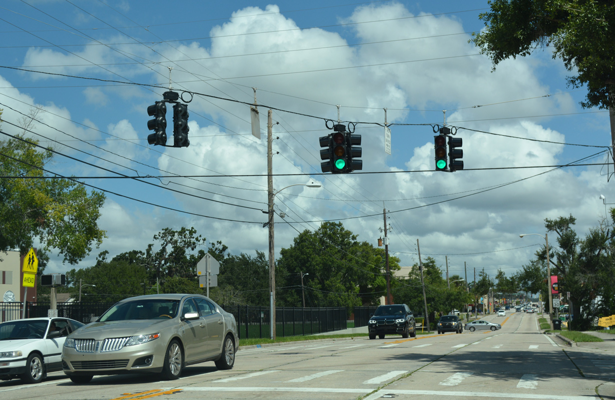
Hoffner Avenue leads SR 15 west from Old Goldenrod Road and the Three Points area to Conway Road and the city of Belle Isle. The state road intersects SR 436 (Semoran Boulevard) just inside the Orlando city limits.
05/30/19
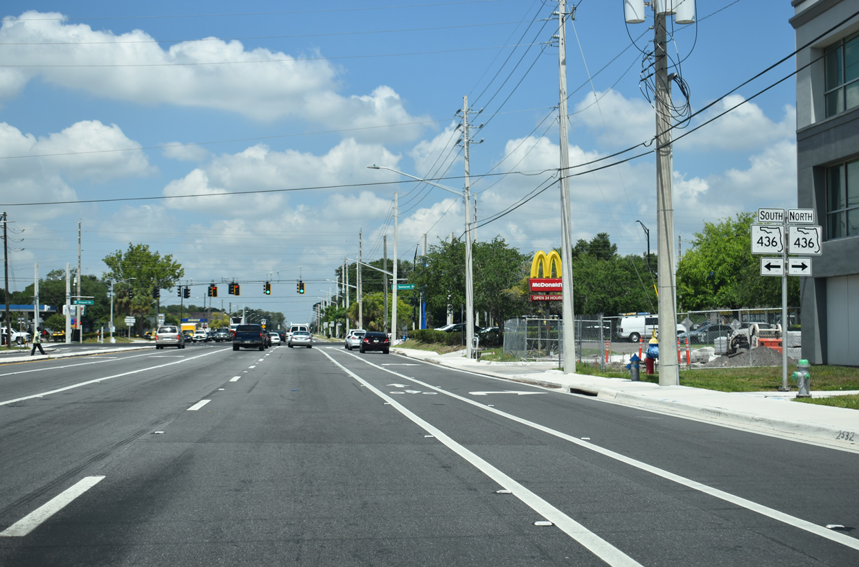
SR 436 (Semoran Boulevard) constitutes a major arterial route joining the city of Orlando with Orlando International Airport (MCO) to the south. North into Seminole County, SR 436 extends to Casselberry and Atlamonte Springs.
05/30/19

Construction through Spring 2019 widened 1.132 miles of SR 15 west from SR 436 to Conway Road. The $37.1 million project rebuilt Hoffner Avenue into a four lane divided roadway with a 22 foot wide grassed median.1
05/30/19
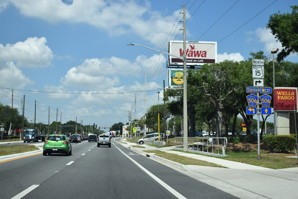
State Road 15 turns north from Hoffner Avenue onto Conway Road at the Belle Isle city line. Hoffner Avenue continues west as CR 506. CR 506 also follows Conway Road south to Judge Road.
05/30/19
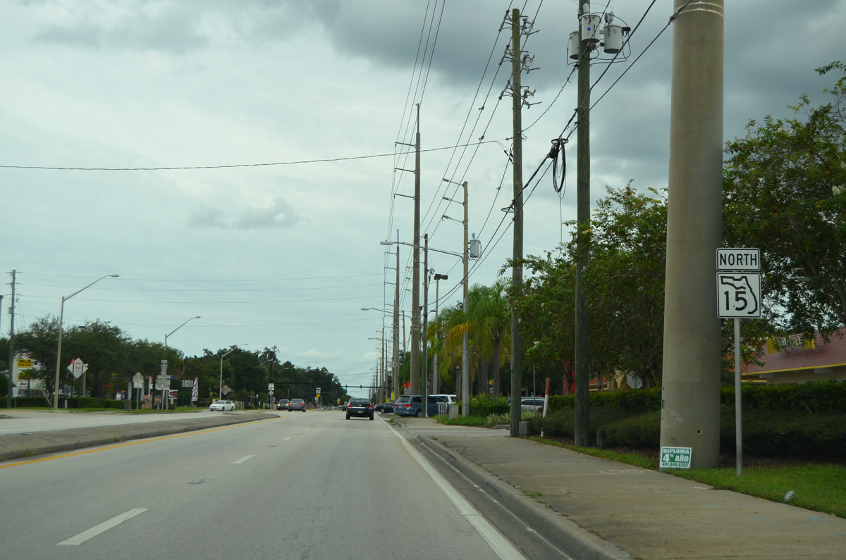
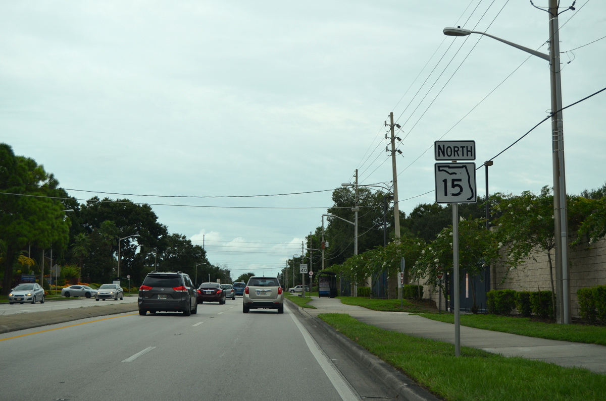
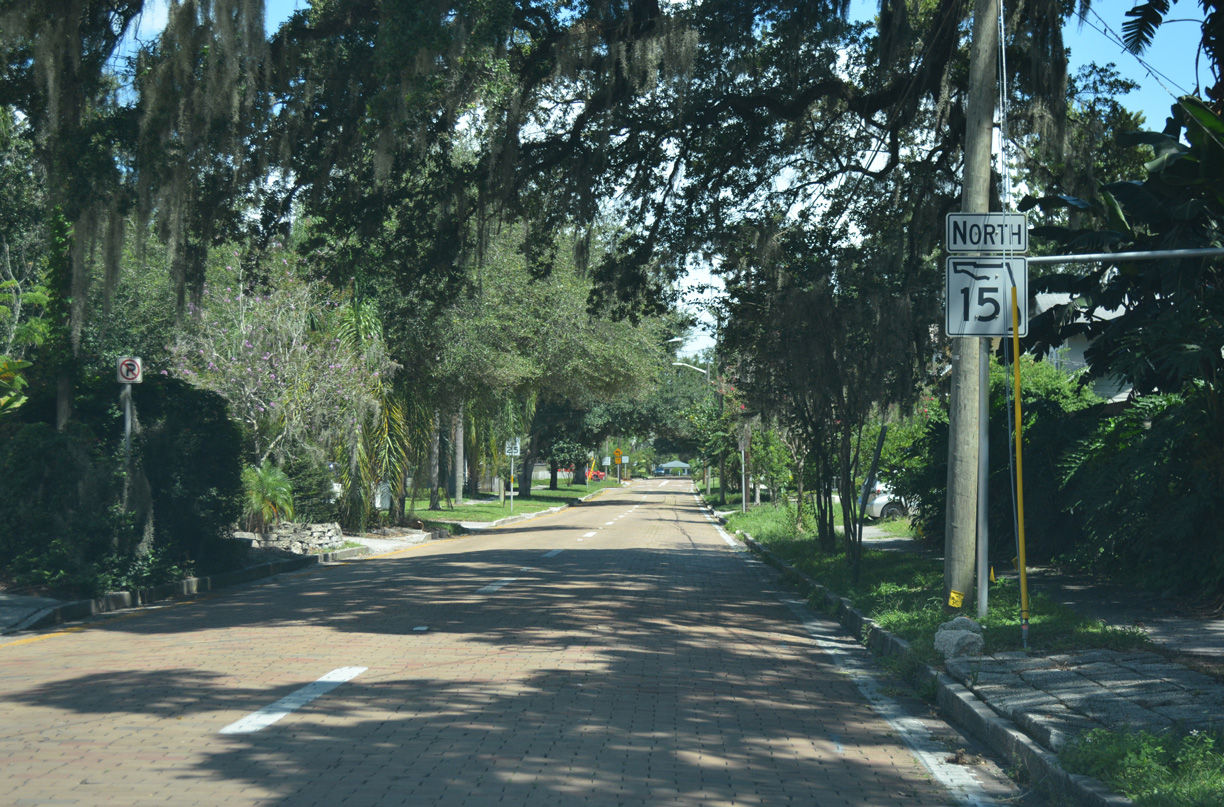
SR 15 resumes a northward course along Conway Road to Lake Underhill Road in Orlando. Prior to the 2017-19 widening of Hoffner Avenue, directional banners along SR 15 west to CR 506 referenced the state road as an east-west route.
09/03/17
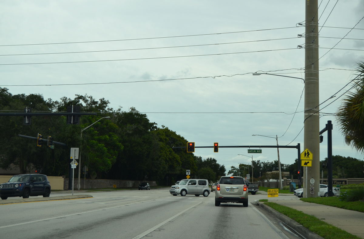
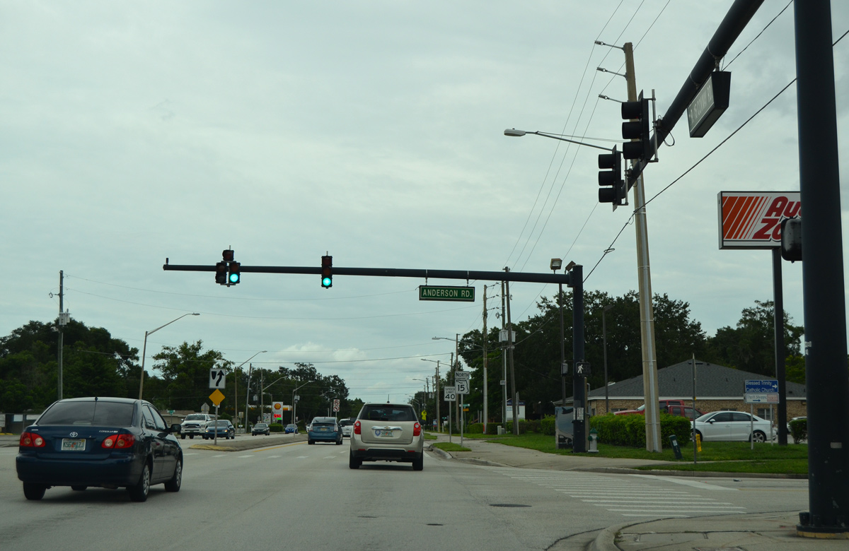
Advancing north through unincorporated Conway, SR 15 intersects Gatlin Avenue. Gatlin Avenue leads east to Barber Park in Orlando and west to Conway Gardens Road north.
09/03/17
SR 15 reassurance marker posted north of Gatlin Avenue on Conway Road.
09/03/17
The traffic light with Anderson Road serves traffic to nearby Conway Middle School.
09/03/17
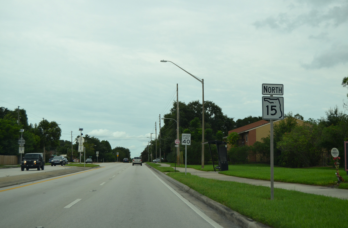
Continuing north from Anderson Road, another reassurance marker for SR 15 appears along Conway Road.
09/03/17
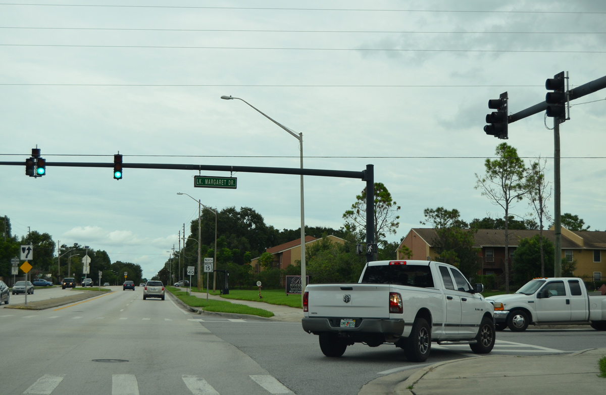
The succeeding traffic light operates along Conway Road north at Lake Margaret Drive.
09/03/17
SR 15 reenters the Orlando city limits north of Lake Margaret Drive by the Brywn Mawr neighborhood.
09/03/17
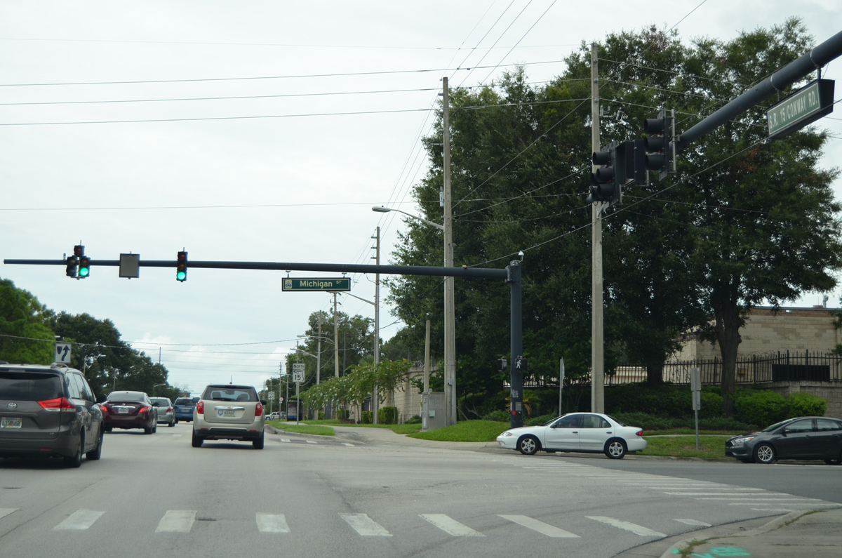
Michigan Street arcs around Lake Porter to meet SR 15 (Conway Road) at the next signal northbound.
09/03/17
An array of apartment complexes line both side of SR 15 (Conway Road) north from Michigan Street.
09/03/17
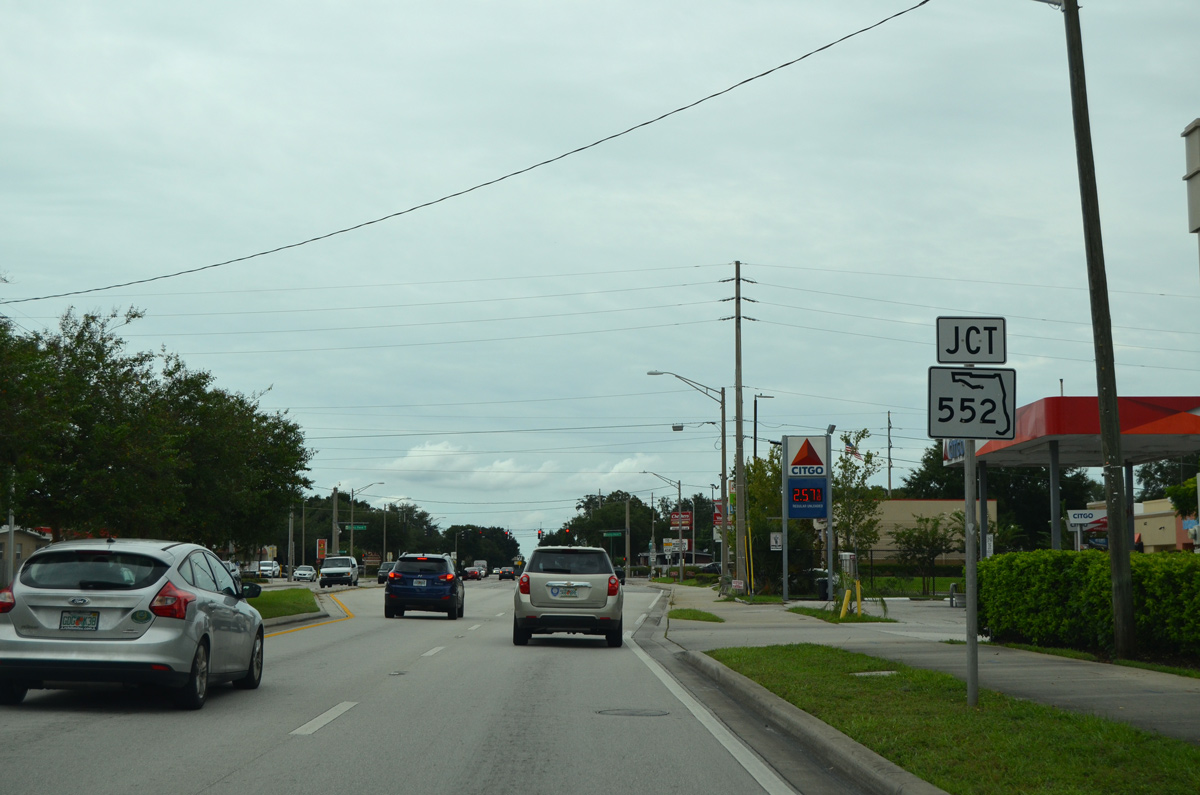
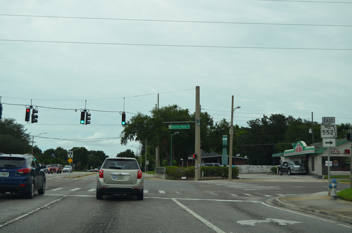
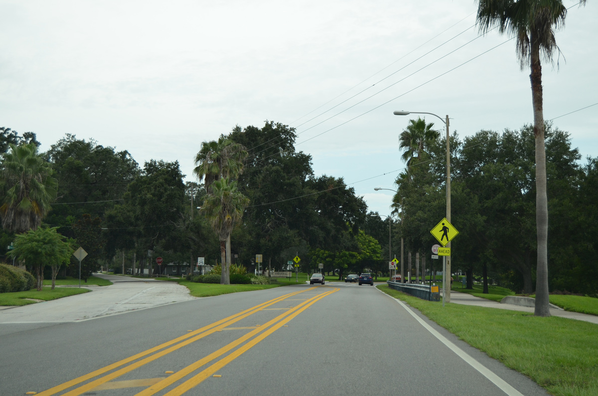
Approaching Curry Ford Road and the west end of SR 552 on SR 15 (Conway Road) northbound.
09/03/17
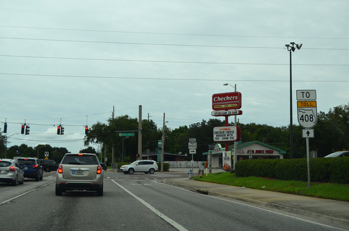
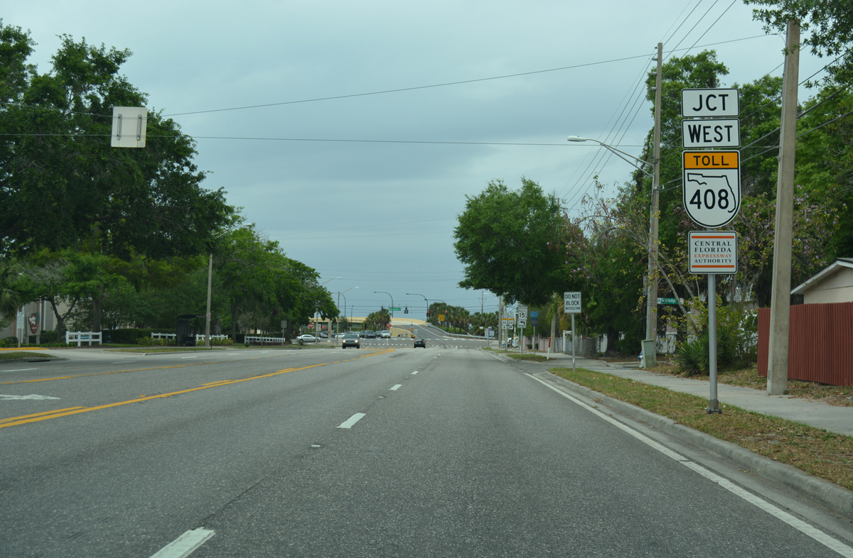
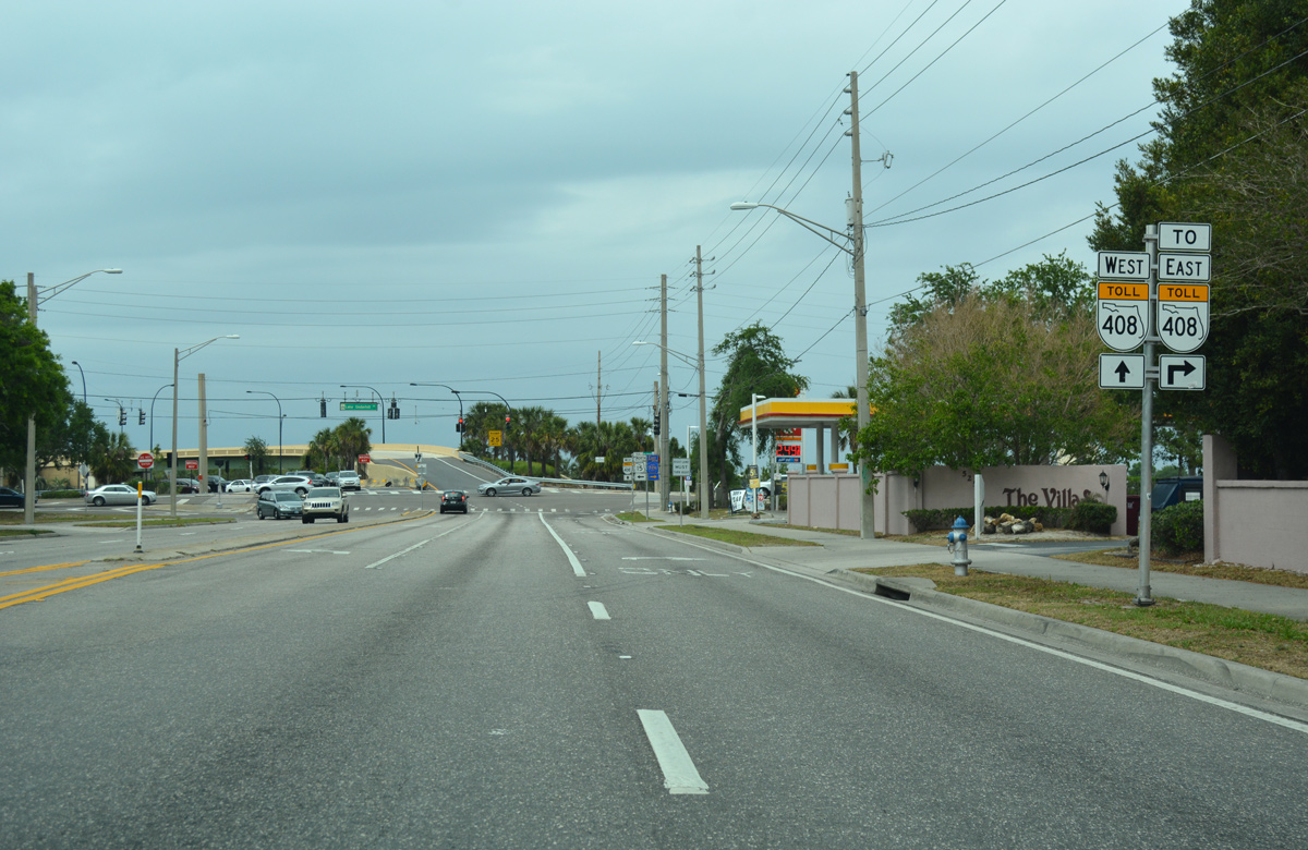
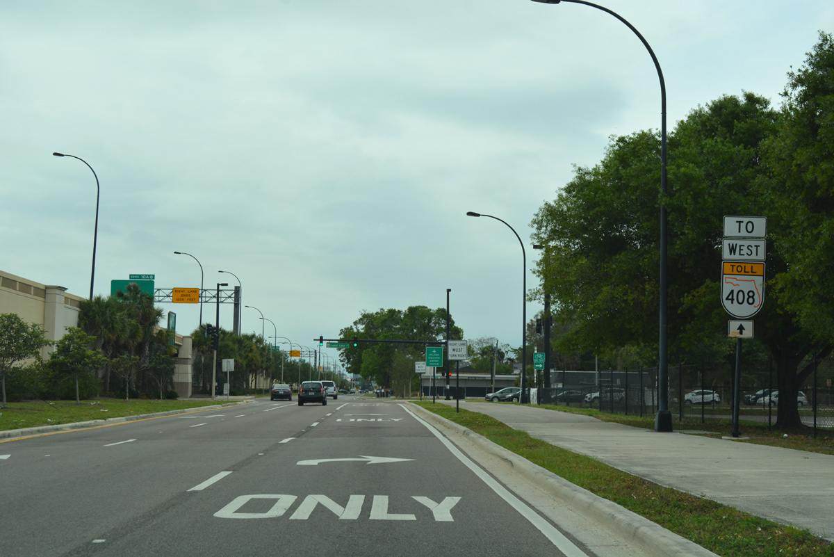
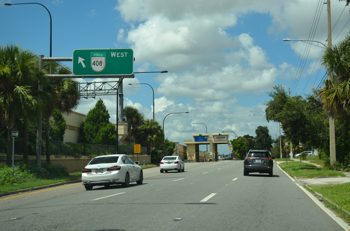
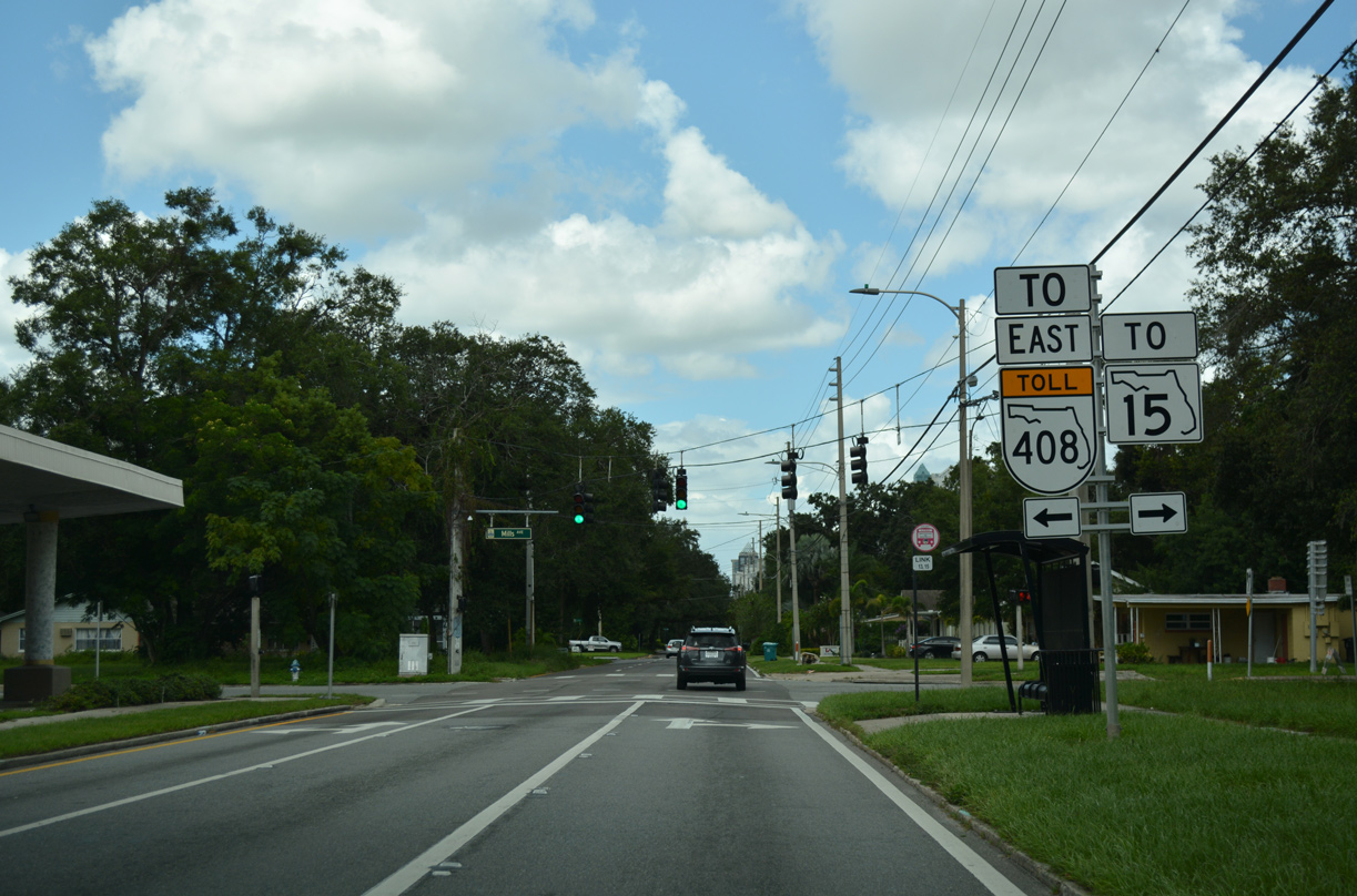
Conway Road leads less than a mile north from SR 552 (Curry Ford Road) to the East-West Expressway (SR 408).
09/03/17
SR 552 overlays 2.64 miles of Curry Ford Road east from SR 15 (Conway Road) to SR 551 (Goldenrod Road) by the Rio Pinar Lakes community.
09/03/17
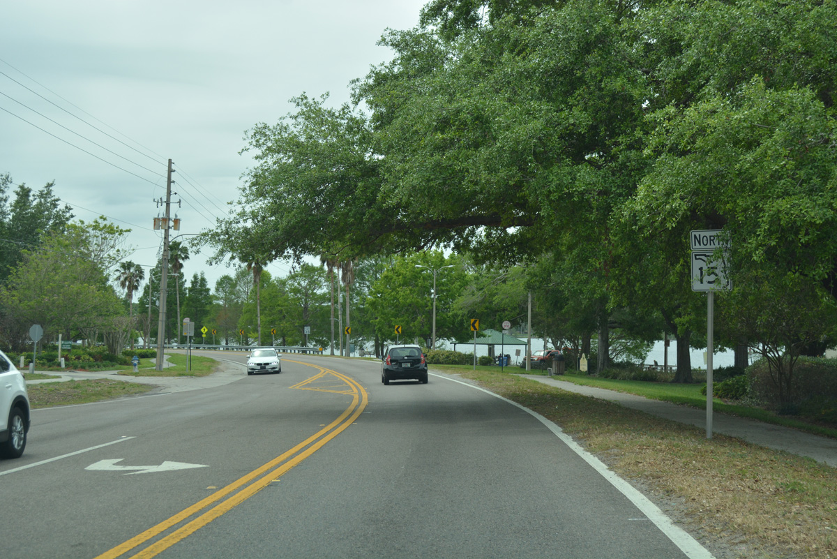
Leaving Curry Ford Road, SR 15 resumes through residential areas east of Lake Giles.
03/31/18
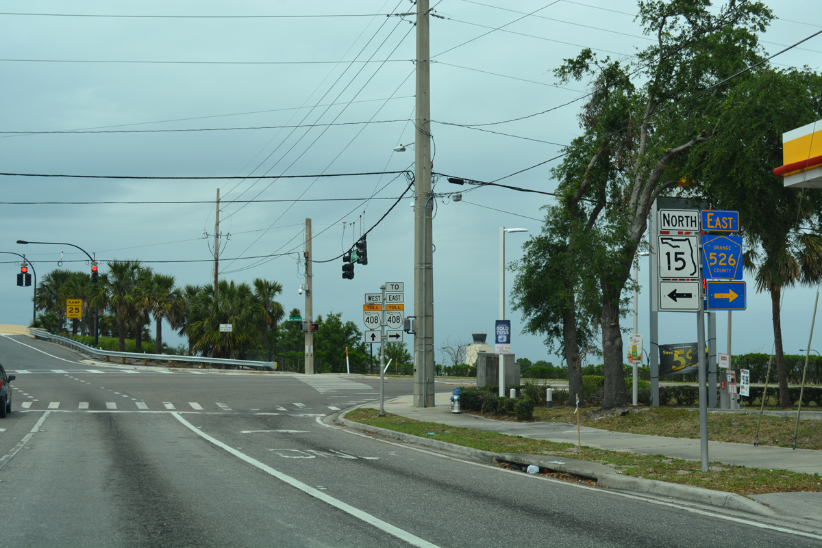
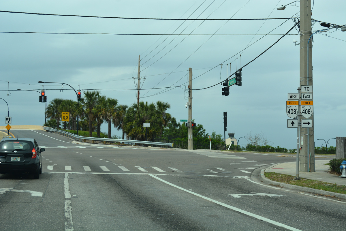
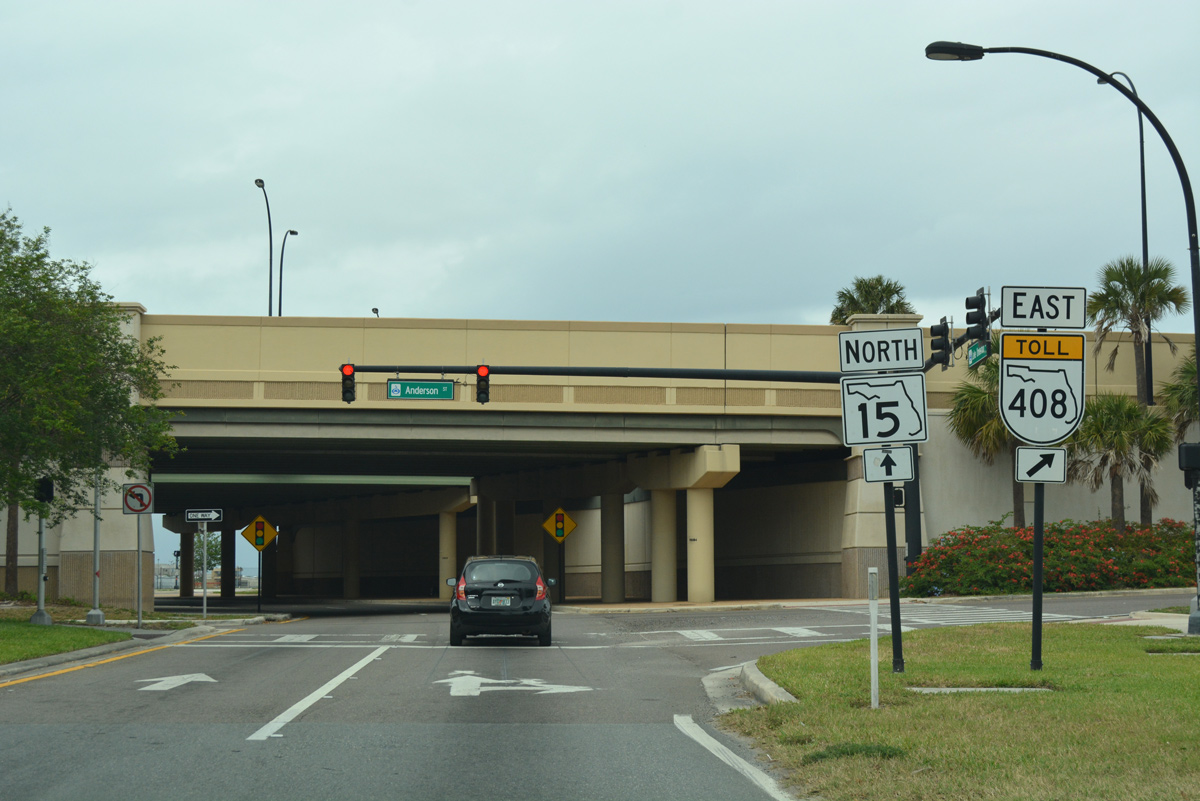
SR 15 turns west at Lake Underhill Road as Conway Road defaults into a wye interchange with SR 408 (East-West Expressway) westbound.
03/31/18
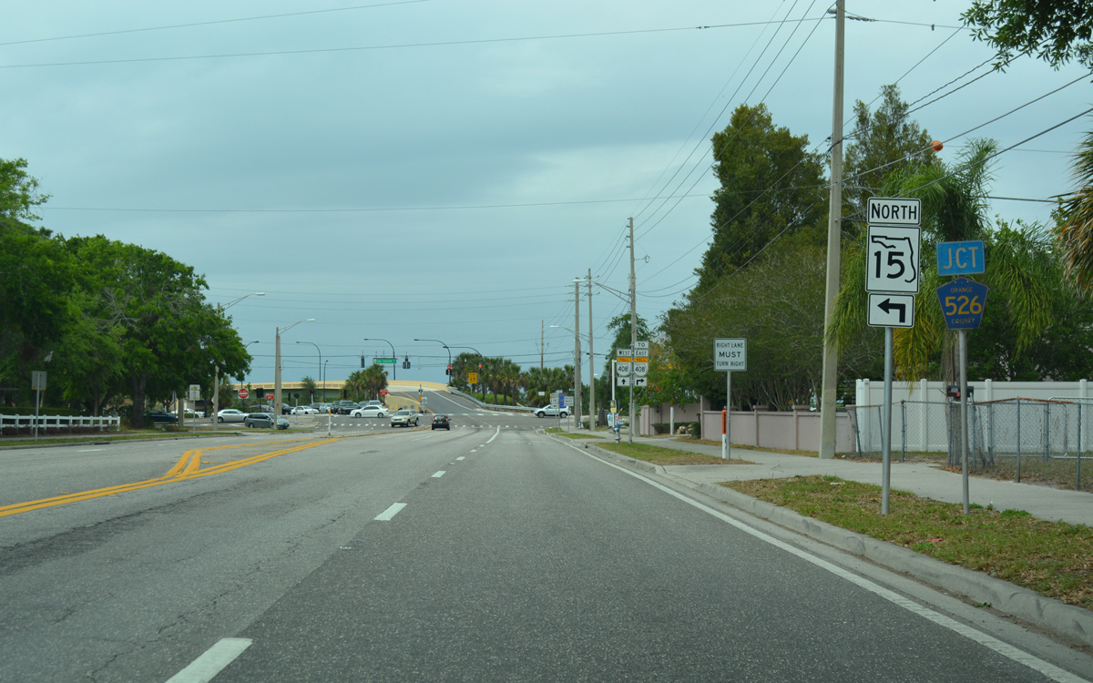
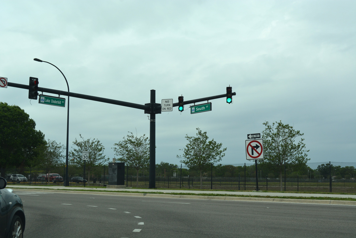
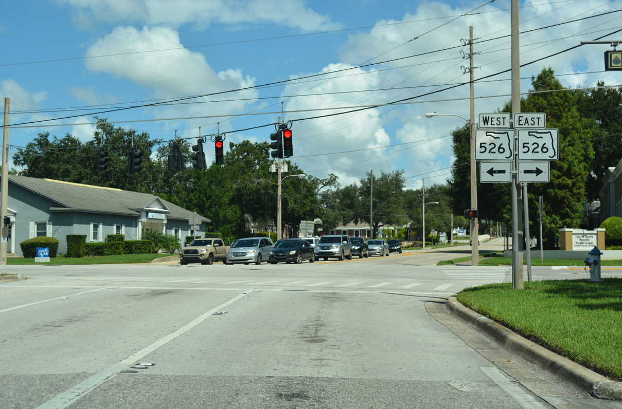
Lake Underhill Road leads SR 15 west to the couplet of Anderson and South Streets. Lake Underhill Road east continues as CR 526, although the route is only marked here on Conway Road.
03/31/18
The eastbound on-ramp for SR 408 departs from Lake Underhill Road a half mile to the east. The East-West Expressway joins Orlando with Union Park and University Park to the east.
03/31/18
SR 15 parallels the East-West Expressway from Conway Road to Mills Avenue. Lake Underhill Road (CR 526) follows the toll road closely east to SR 551 (Goldenrod Road).
03/31/18
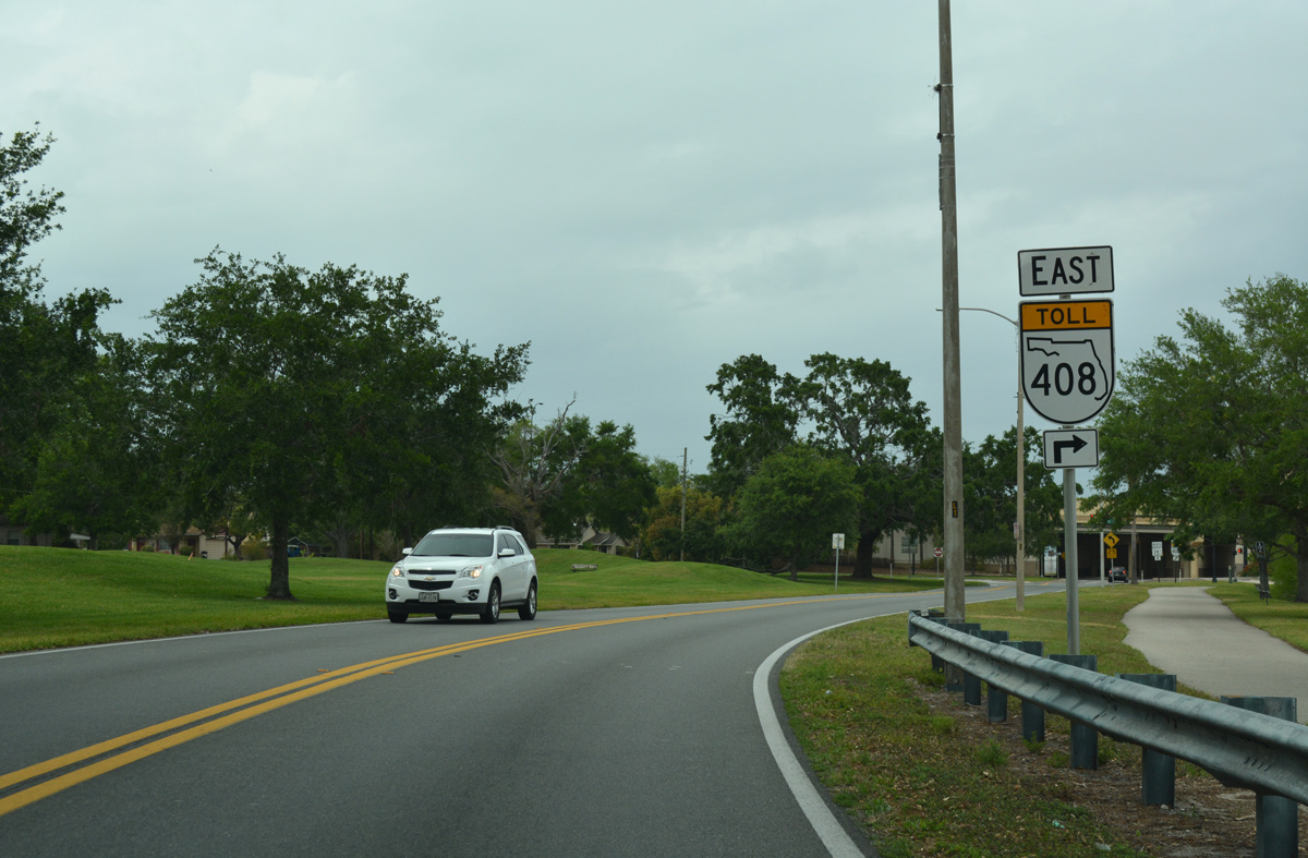
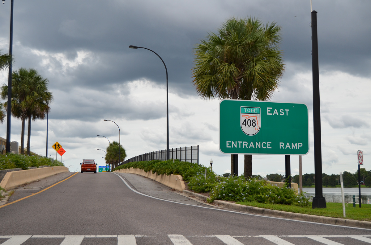
The on-ramp for SR 408 west joins the toll road across Lake Underhill. SR 408 travels west to Downtown Orlando and Ocoee.
03/31/18
SR 15 (Lake Underhill Road) winds along the south side of Lake Underhill over the ensuing 0.8 miles west of Conway Road.
03/31/18
A multi use path accompanies SR 15 west through Lake Underhill Park. SR 408 spans the lake with 12 overall lanes nearby.
03/31/18
09/03/17
Palmer Street branches west from Lake Underhill Road to Crystal Lake Drive and the Ardmore Terrace neighborhood.
09/03/17
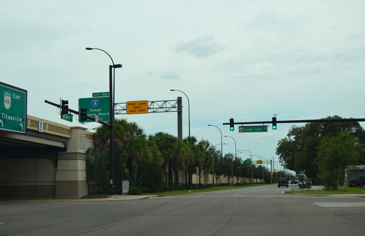
Curving northward through West Lake Underhill Park, SR 15 meets SR 408 again at the east end of a split diamond interchange.
03/31/18
09/03/17
SR 15 partitions into a one way couplet alongside the East-West Expressway. South Street carries the state road northbound while Anderson Street represents SR 15 southbound.
03/31/18
The subsequent westbound on-ramp to SR 408 departs from South Street in 0.6 miles.
03/31/18
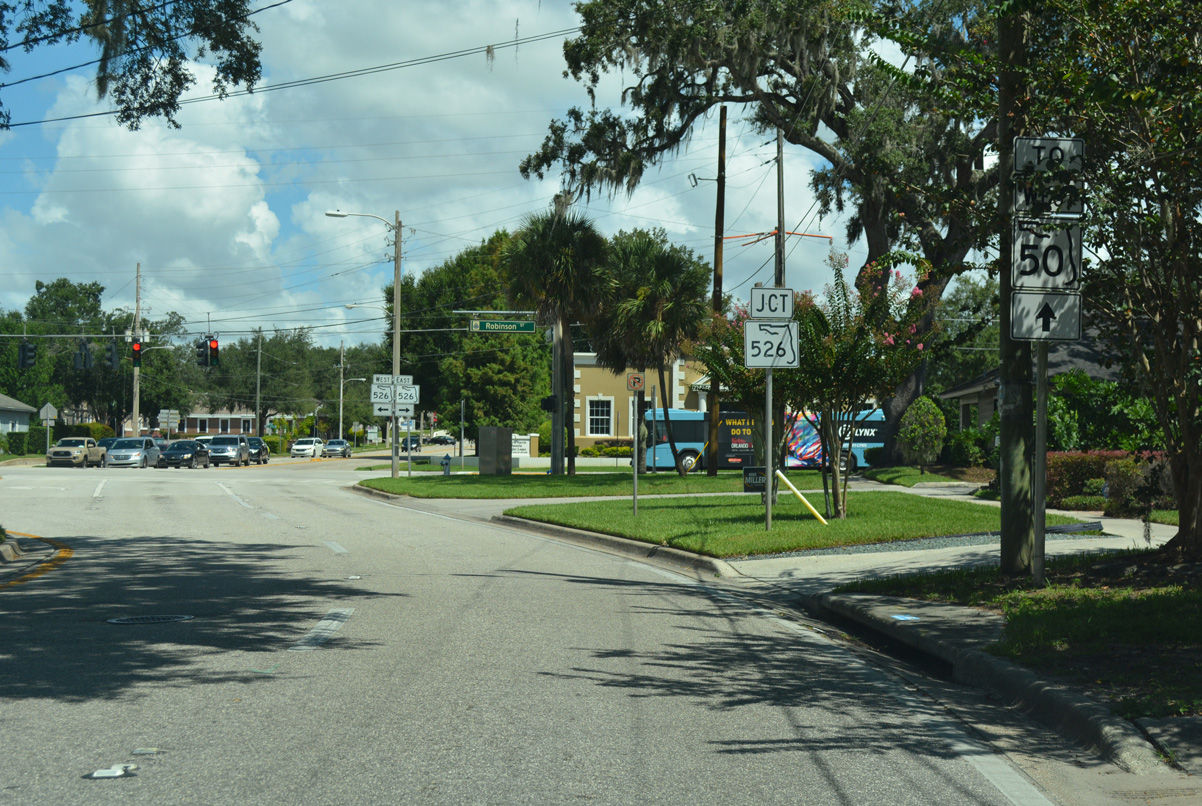
South Street intersects Crystal Lake Drive at the southwest corner of Joe Kittinger Park. Crystal Lake Drive connects SR 408 with residential areas to the south and Orlando Executive Airport (ORD) to the north. The four lane parkway north to Robinson Street was formerly the east leg of SR 526.
09/03/17
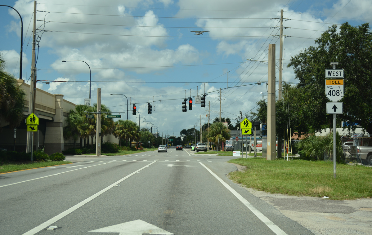
South Street west at Primrose Drive. SR 15 is unmarked westbound from Crystal Lake Drive to Mills Avenue.
09/01/18
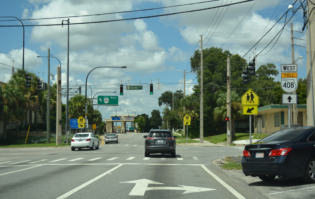
South Street continues along the East-West Expressway westbound lanes to Rosalind Avenue. The ensuing traffic light is with Bumby Avenue.
09/01/18
SR 15 northbound at the Bumby Avenue on-ramp to SR 408 westbound.
09/01/18
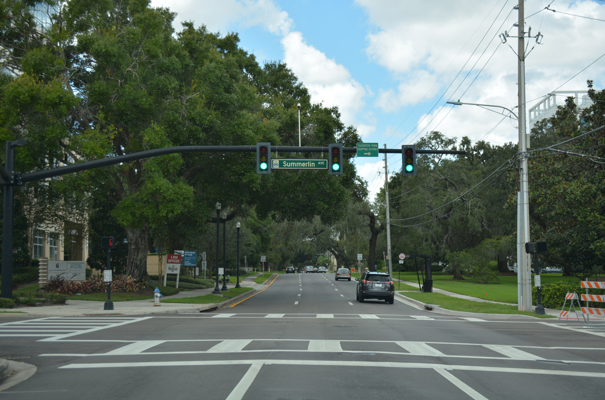
South Street continues west from SR 15 at Mills Avenue to the south side of Downtown Orlando. Summerlin Avenue crosses the westbound street at the Thornton Park neighborhood near Lake Olive.
09/01/18
The Downtown Orlando off-ramp from SR 408 westbound connects with South Street between Lake and Liberty Avenues at this traffic light.
09/08/18
North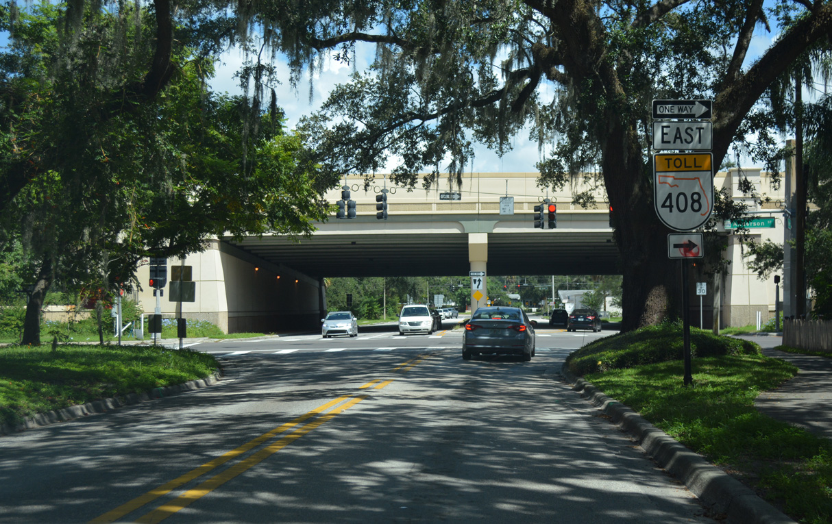
Mills Avenue north at Anderson Street (SR 15 southbound) and the East-West Expressway (SR 408). SR 15 northbound joins Mills Avenue from the succeeding traffic light.
09/01/18
Mills Avenue meets SR 408 at a three-quarter diamond interchange. SR 15 turns north from South Street en route to Lake Lawsona.
09/01/18
Confirming marker posted north of South Street. SR 15 is unmarked southbound within the vicinity of Lake Lawsona.
09/01/18
SR 15 separates into a one way couplet around Lake Lawsona. The northbound direction initially follows Jackson Street east before joining Brown Avenue north.
09/01/18
A reassurance marker for SR 15 north stands along the brick lined Brown Avenue at Church Street.
09/01/18
Traffic lights operate along Brown Avenue north at Central Boulevard. Central Boulevard runs along the north side of Lake Lawsona Park west to Lake Eola. East of SR 15, the boulevard heads to Mayor Carl Langford Park.
09/01/18
Brown Avenue enters the Eola Rose community beyond Central Boulevard.
09/01/18
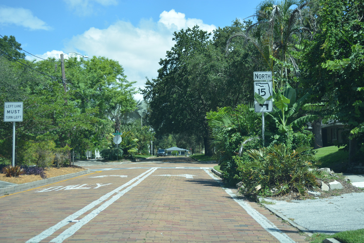
SR 15 dog legs west along Jefferson Street to reconnect with Mills Avenue north.
09/01/18
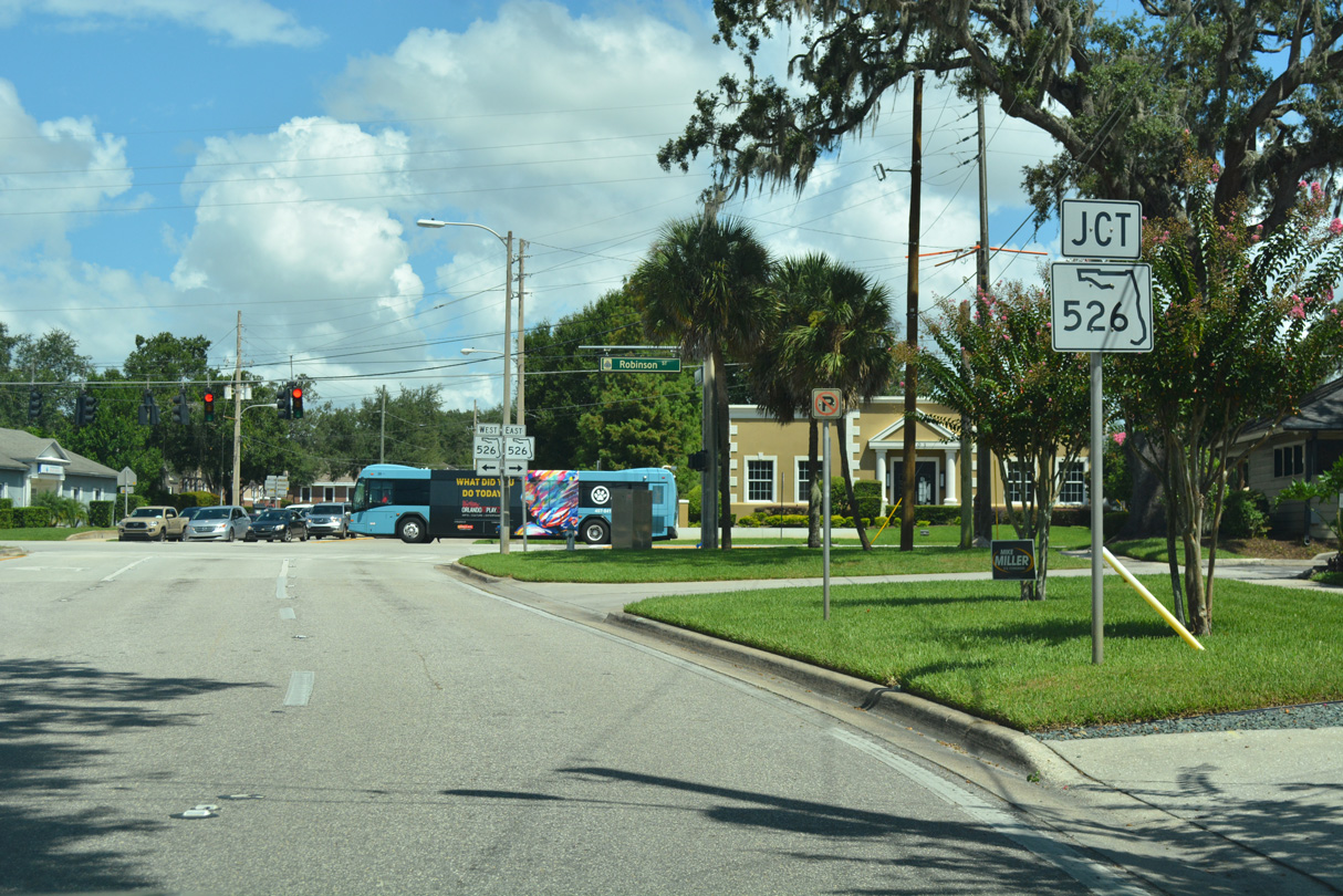
Mills Avenue flows north with two lanes, taking SR 15 from Jefferson Street to adjacent Robinson Street (SR 526).
09/01/18
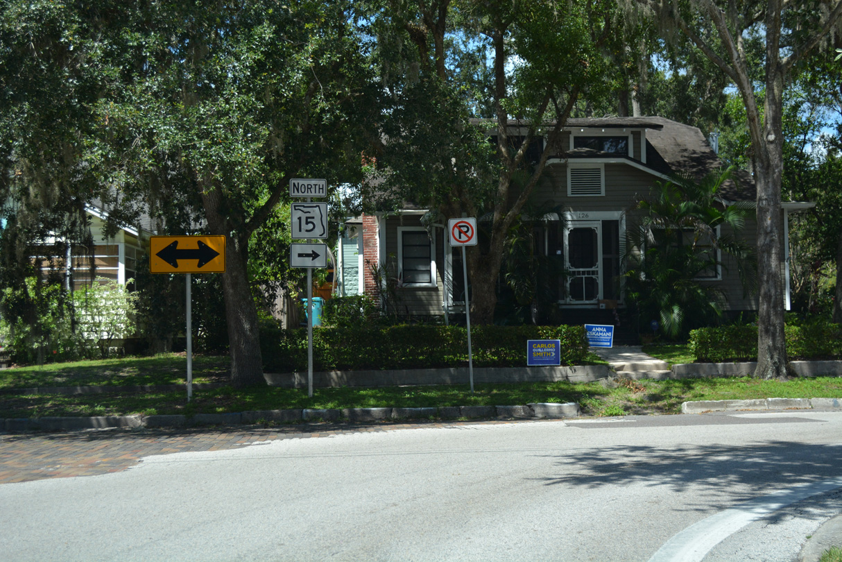
Northbound SR 15 converges with Thornton Avenue (SR 15 southbound) at SR 526 (Robinson Street). A trailblazer directs motorists to remain on SR 15 north for SR 50 west. The west banner presumably remains from when SR 527 was designated north through Downtown to Colonial Drive.
09/01/18
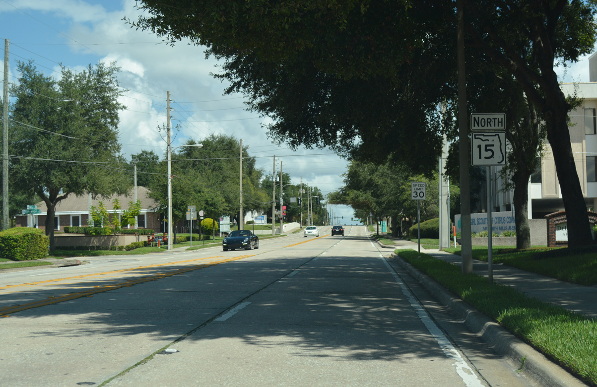
Northbound Mills Avenue at SR 526 (Robinson Street). Robinson Street carries the state road east to Crystal Lake Drive near Orlando Executive Airport (ORD), SR 526 west passes through Downtown to Parramore and an end at U.S. 17-92-441 (Orange Blossom Trail).
09/01/18
SR 15 reassurance marker north of SR 526 (Robinson Street).
09/01/18

A trailblazer for SR 50 east stands along Mills Avenue north between Ridgewood and the traffic light at Livingston Street. SR 15 meets SR 50 eight blocks north of SR 526 (Robinson Street).
09/03/17
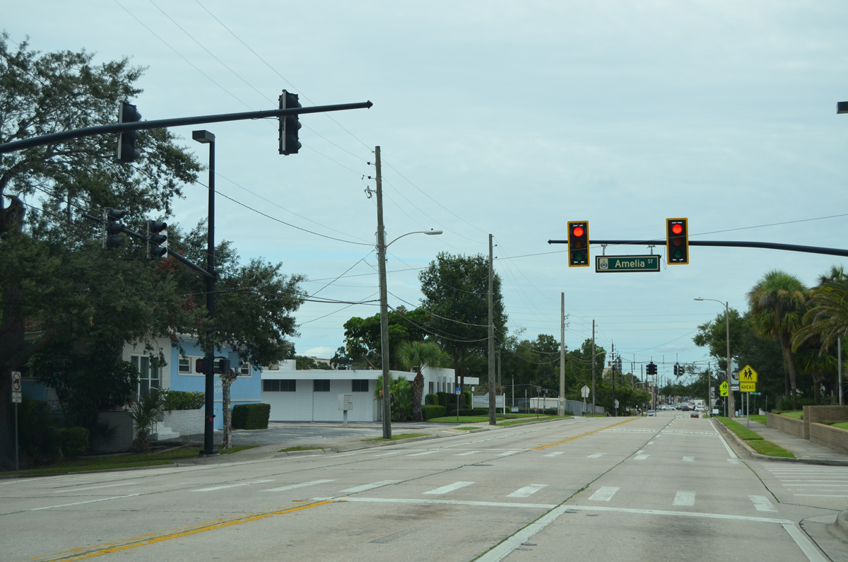
The succeeding traffic light along SR 15 (Mills Avenue) north is at Amelia Street.
09/03/17
SR 15 (Mills Avenue) advances one block north to signals at Mt. Vernon Street.
09/01/18
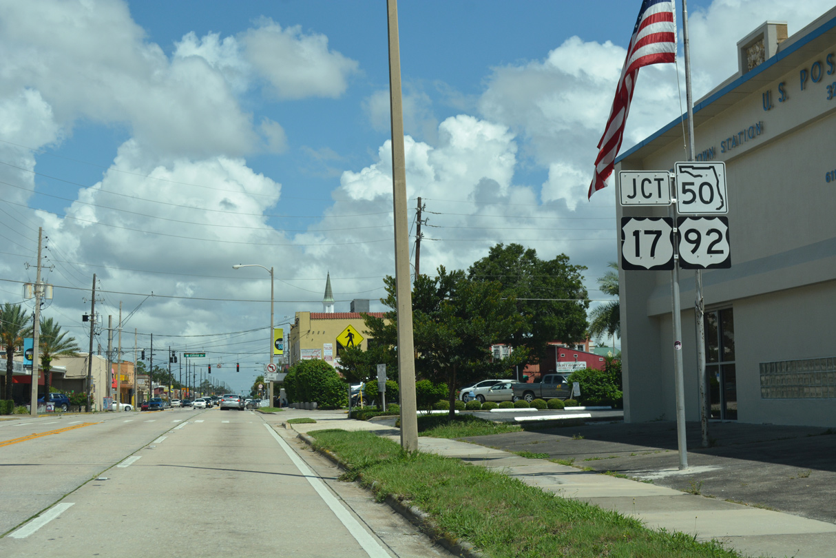
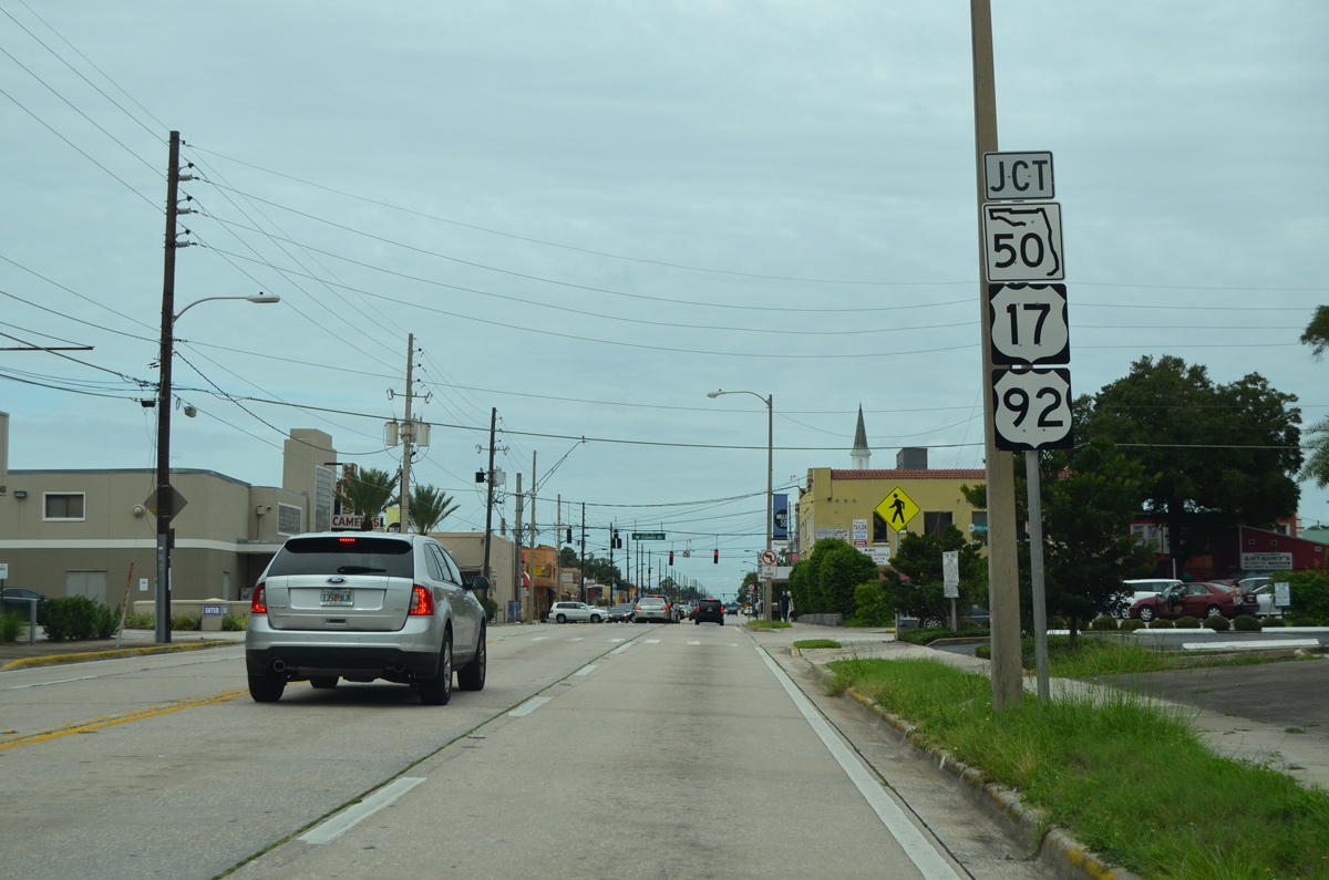
Mills Avenue intersects SR 50 (Colonial Drive) at the east split with U.S. 17/92. U.S. 17/92 accompany Colonial Drive west 1.9 miles to U.S. 441 (Orange Blossom Trail). U.S. 17/92 follow Mills Avenue north to the city of Winter Park.
09/01/18
09/03/17
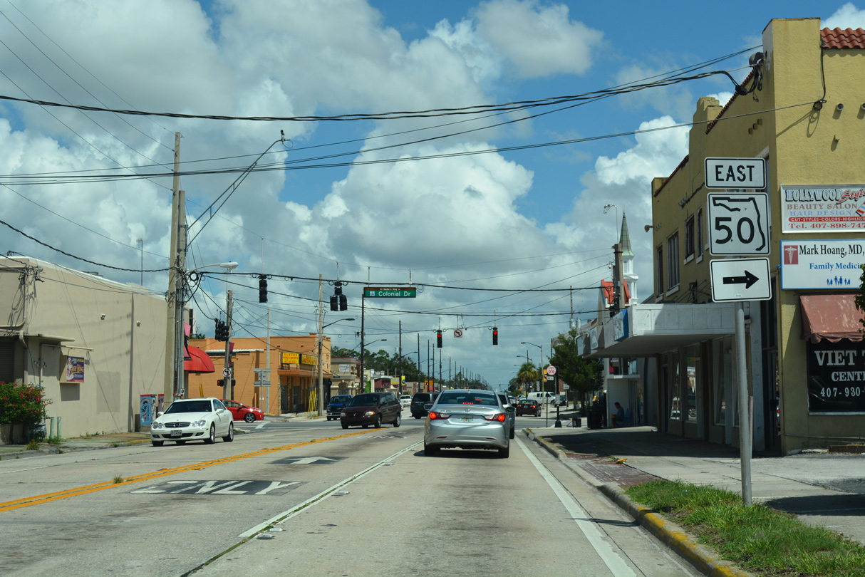
Left turns are prohibited from SR 15 (Mills Avenue) north onto U.S. 17-92/SR 50 (Colonial Drive) west. SR 50 east passes between Colonialtown, Coytown and Colonial Park en route to Azalea Park outside the Orlando city limits.
09/01/18
References:
- 239266-4 SR 15 (Hoffner Avenue) from West of SR 436 (Semoran Boulevard) to Conway Road. CFLRoads, FDOT project web site.
Photo Credits:
- Alex Nitzman: 07/24/08, 05/30/19
- ABRoads: 09/03/17, 03/31/18, 09/01/18, 09/08/18
Connect with:
Page Updated Friday May 31, 2019.