
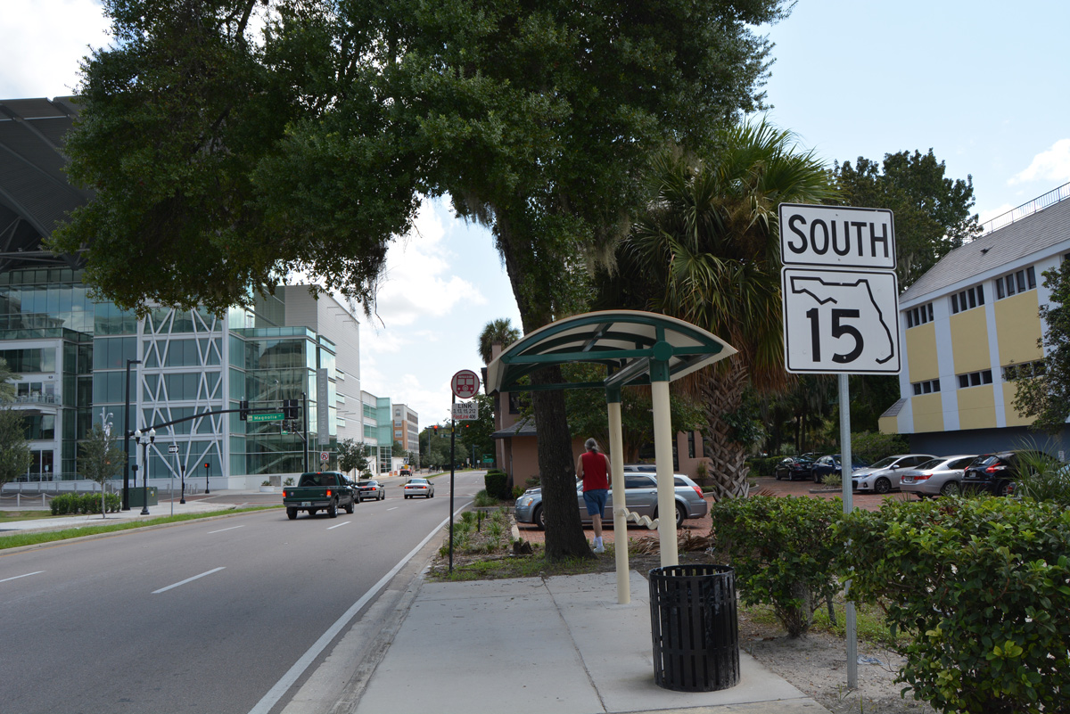
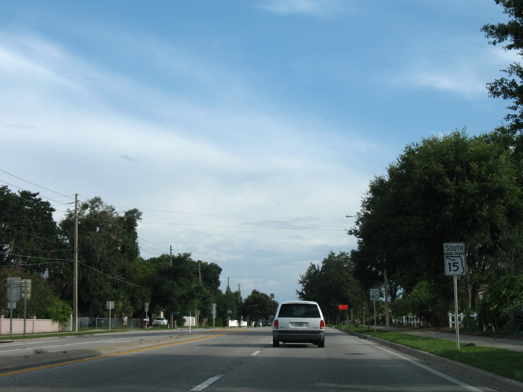
State Road 15 South - Orlando
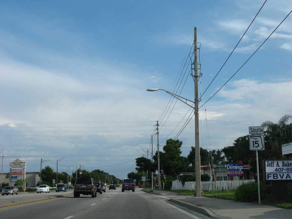
 South
South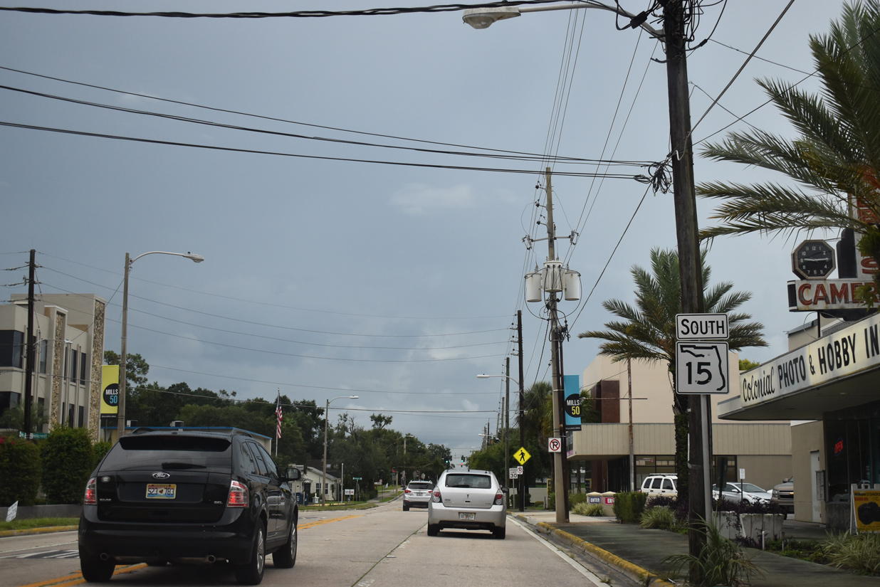
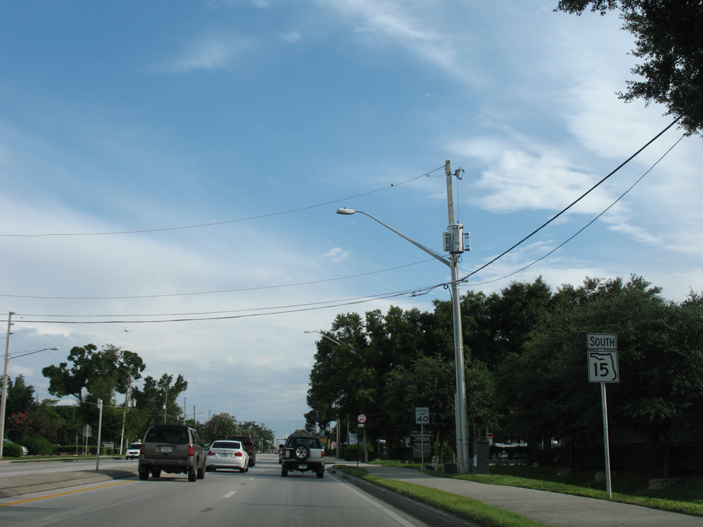
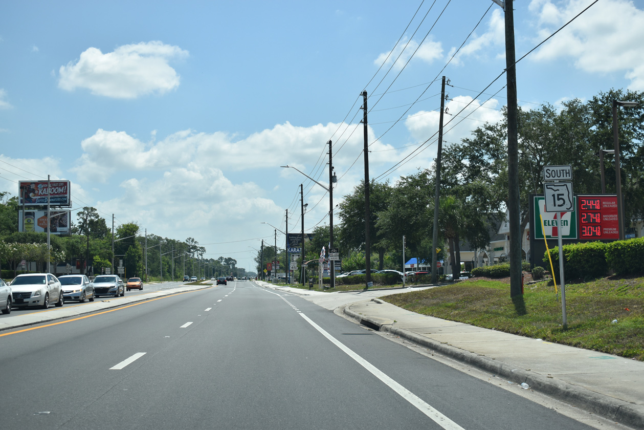
SR 15 emerges from U.S. 17/92 at SR 50 (East Colonial Drive) and continues south along Mills Avenue through Orlando's Colonial Town neighborhood.
09/08/18
Mills Avenue intersects Mt. Vernon Street at the southeast corner of Hillcrest Elementary School. A $16.4 million project completed at the school in July 2018 added a new two-story building, a 130-car parking garage and made renovations.1
09/08/18
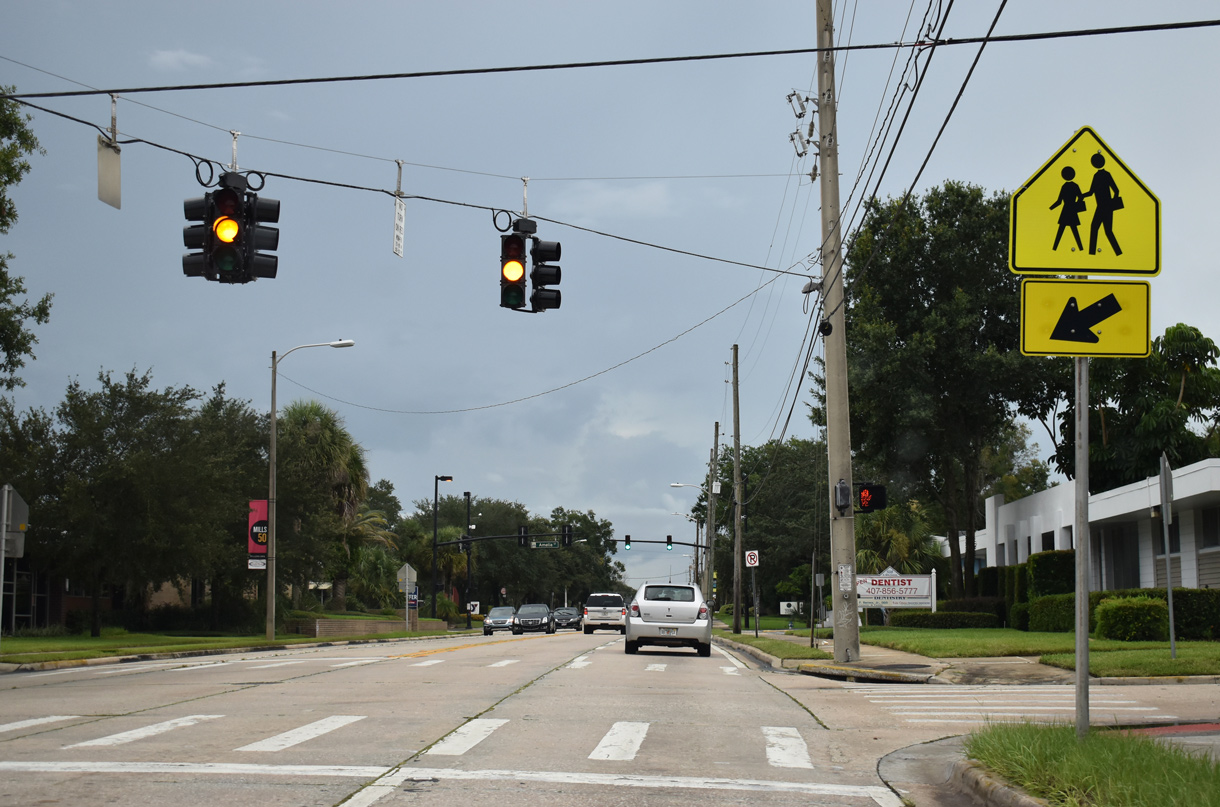
Amelia Street crosses SR 15 (Mills Avenue) east from Lake Eola Heights and west from Colonialtown South.
09/08/18
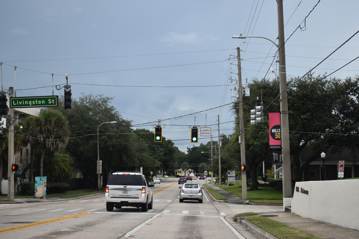
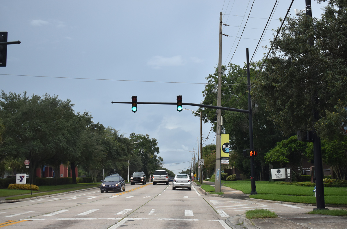
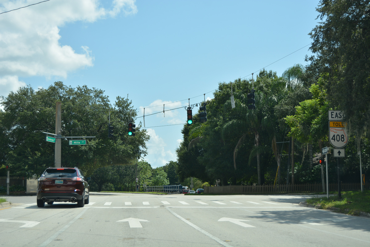
Livingston Street is a through street west to the Orange County Courthouse and east to Colonial Plaza.
09/08/18
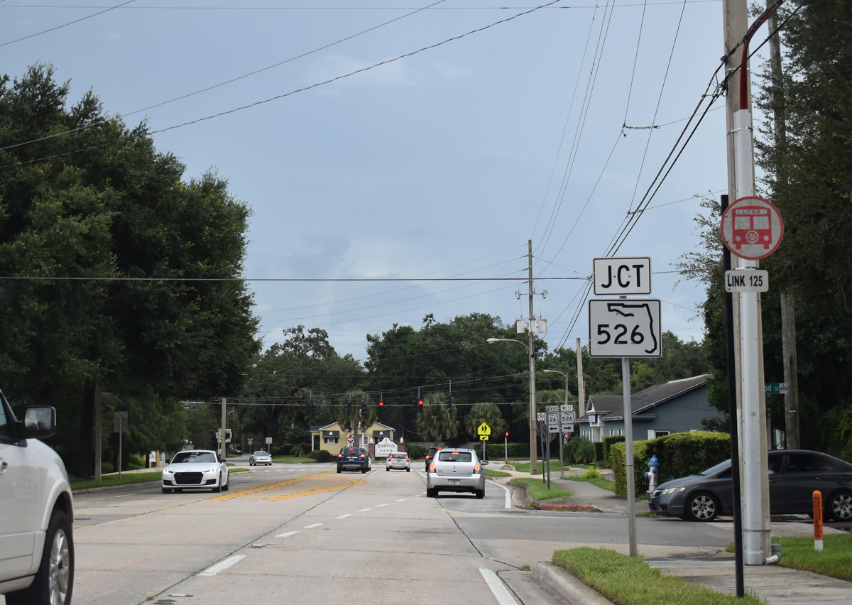
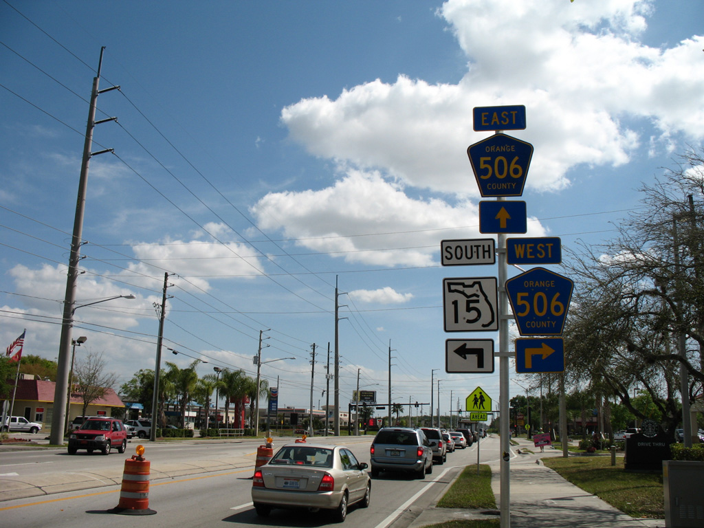
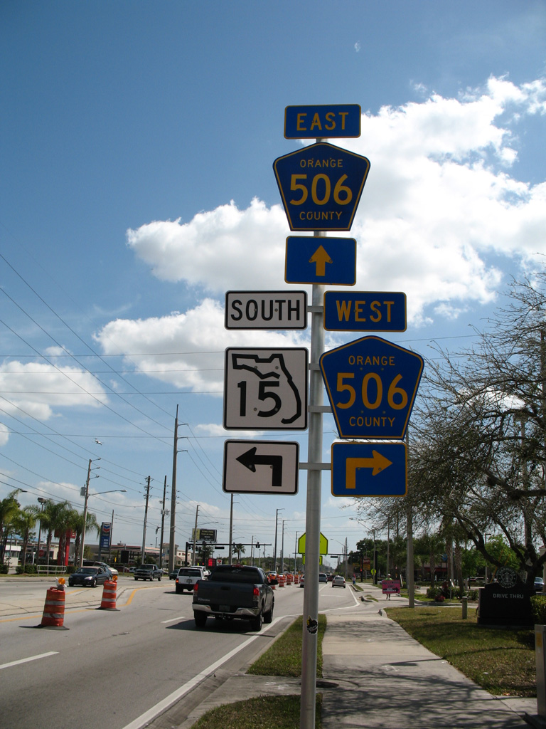
SR 15 intersects SR 526 (Robinson Street) two blocks south of Livington Street. Robinson Street is state maintained 2.3 miles west from Crystal Lake Drive at Festival Park to Downtown and Hughey Avenue at I-4.
09/08/18
The urban route of SR 526 measures just 3.3 miles between U.S. 17-92-441 (Orange Blossom Trail) at Parramore and Maguire Boulevard at Orlando Executive Airport (ORL).
09/08/18
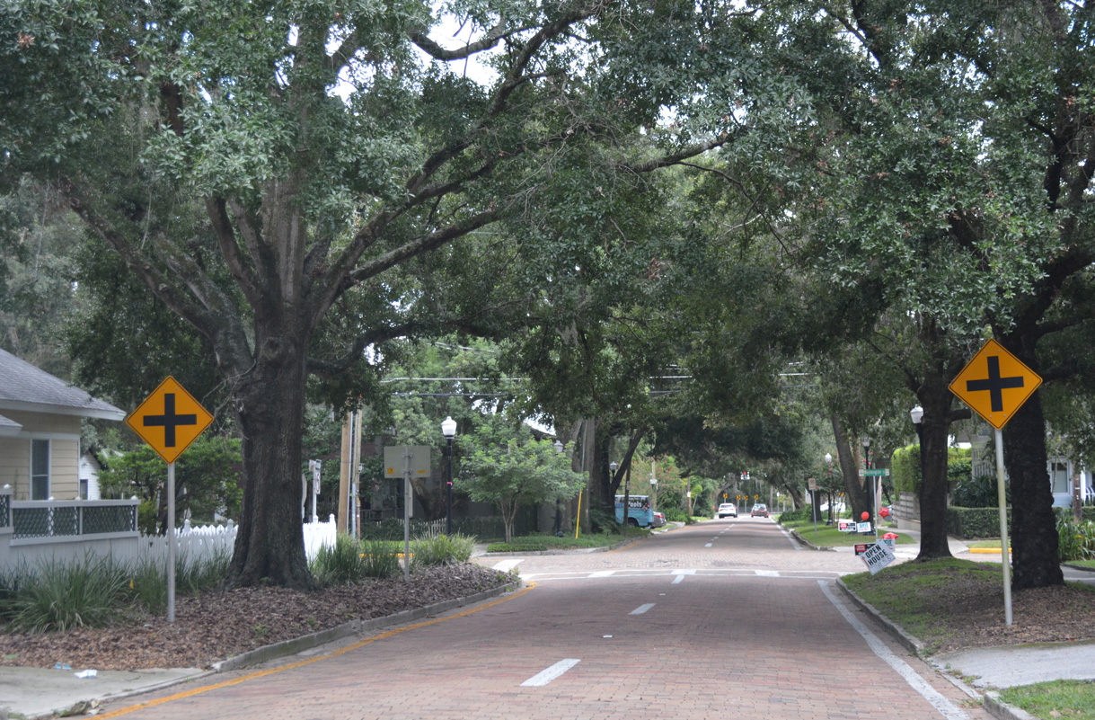
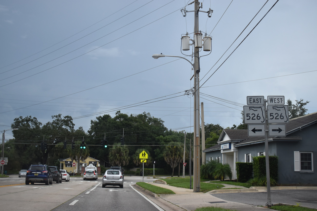
SR 15 partitions into a couplet south of SR 526 (Robinson Street). The state road southbound follows Thornton Avenue to Central Boulevard and Lake Lawsona Park.
09/01/18
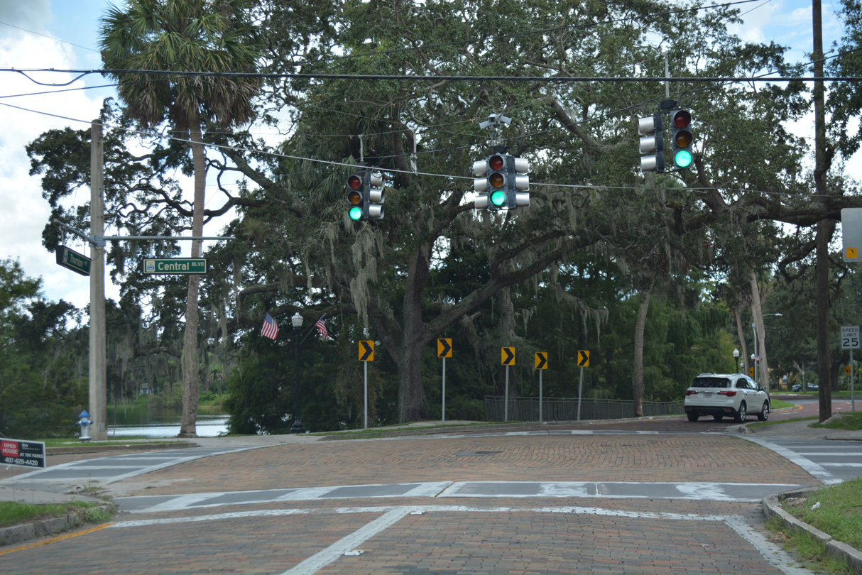
SR 15 (Thornton Avenue) south at Central Boulevard. The state road southbound is unmarked through the Thornton Park neighborhood of Orlando.
09/01/18
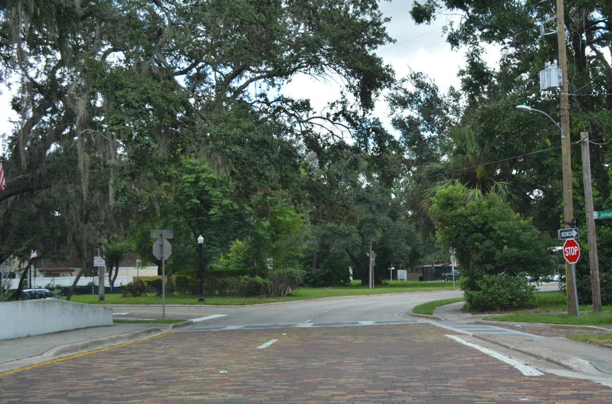
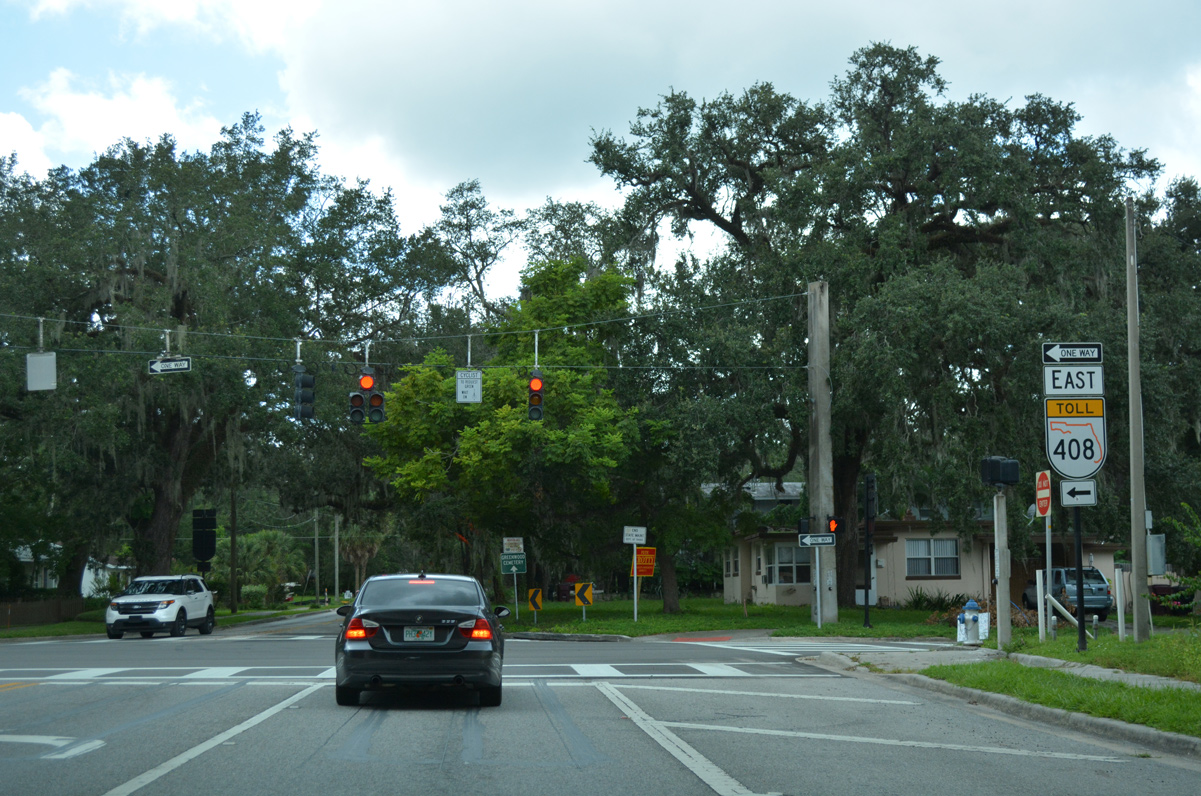
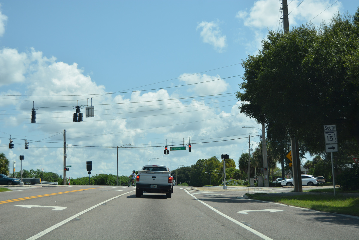
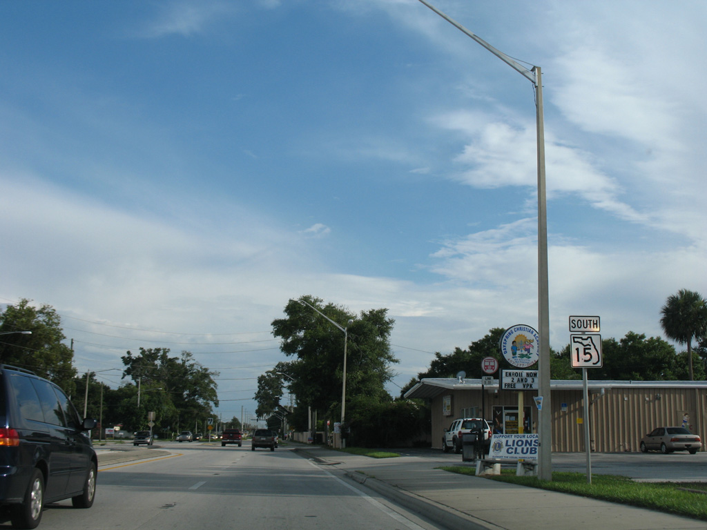
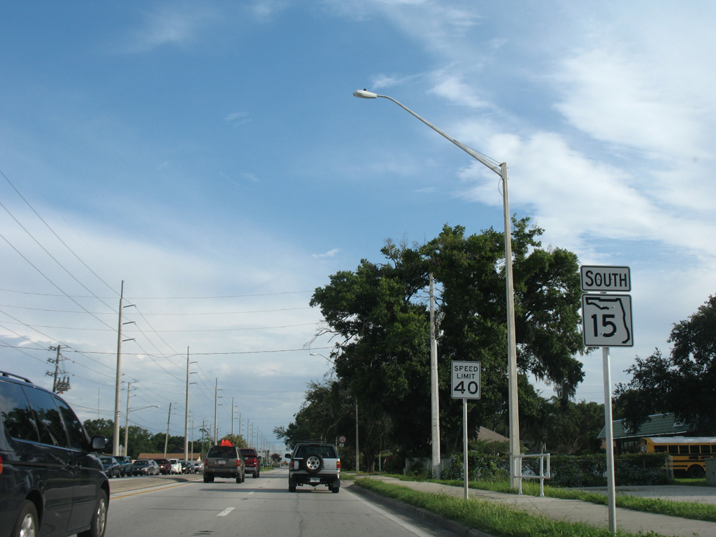
The split directions of SR 15 recombine along Mills Avenue south from Jackson Street and ahead of South Street.
09/01/18
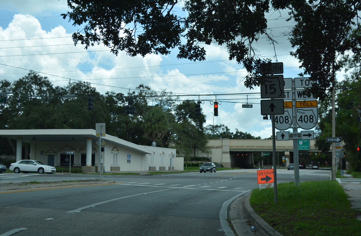
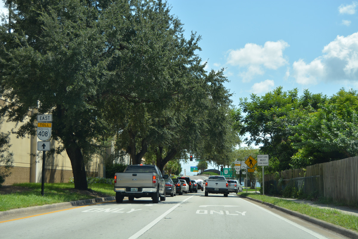
South Street comprises a north side frontage road for SR 408 (East-West Expressway) leading into Downtown Orlando. Motorists headed to the toll road westbound are directed along South Street to Orange Avenue (former SR 527) south to its on-ramp at Lake Lucerne.
09/01/18
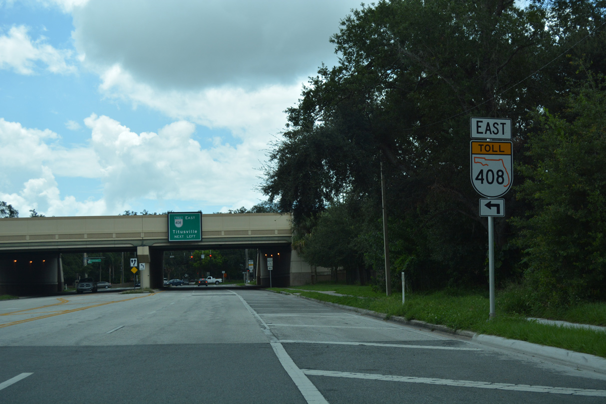
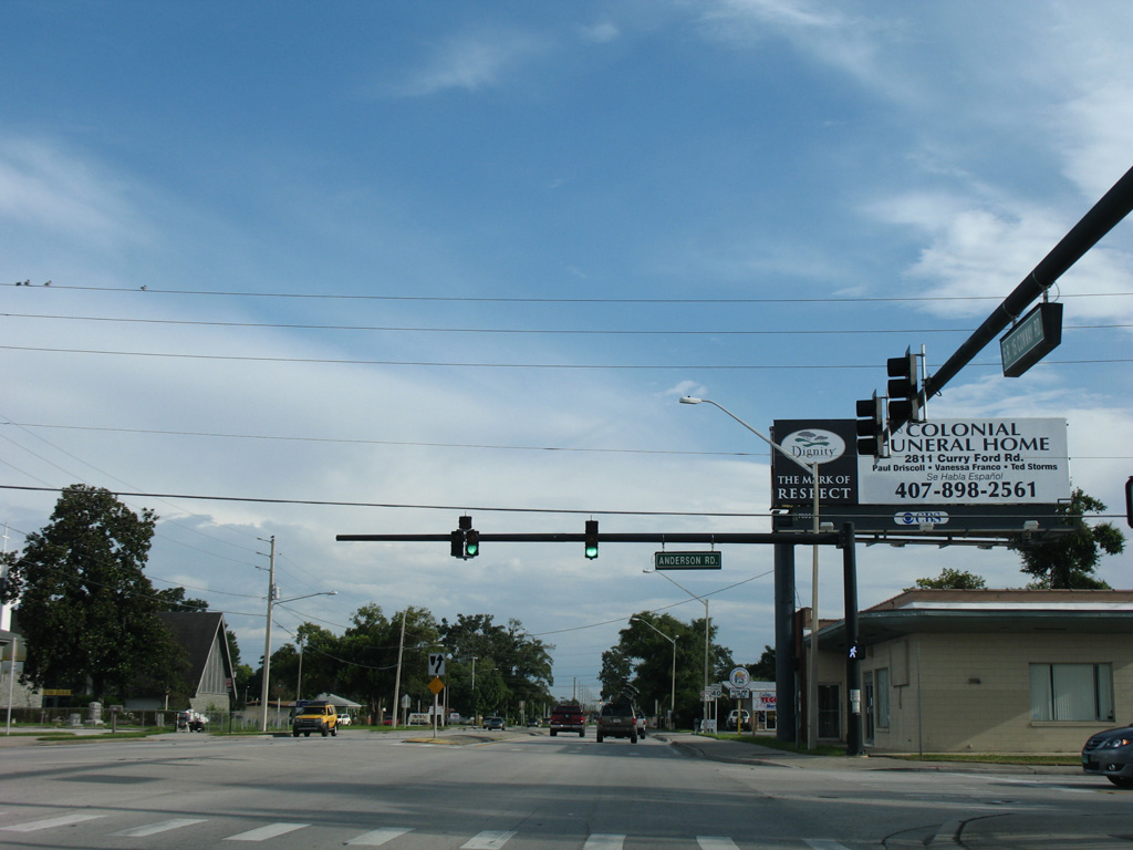
SR 15 follows Mills Avenue south below the East-West Expressway (SR 408) to connect with Anderson Street east. An on-ramp formerly joined the toll road west directly along this stretch.
09/01/18
SR 15 parallels the south side of the East-West Expressway along Anderson Street east to Lake Underhill. An on-ramp for SR 408 east to Union Park departs from nearby. Mills Avenue extends south as a residential street to Briercliff Drive near Lake Lancaster.
09/01/18
A reassurance marker for SR 15 south stands on the block of Anderson Street east between Orange Avenue (former SR 527 south) and Magnolia Avenue in Downtown Orlando. Anderson Street becomes a part of SR 15 east from Mills Avenue, 10 blocks ahead.
09/07/16
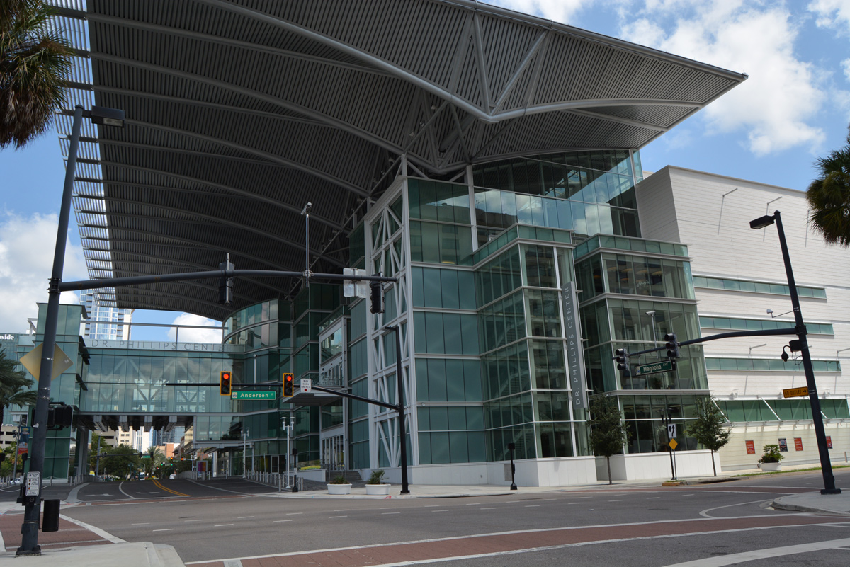
Anderson Street intersects Magnolia Avenue northbound by the Dr. Phillips Center for the Performing Arts.
09/07/16
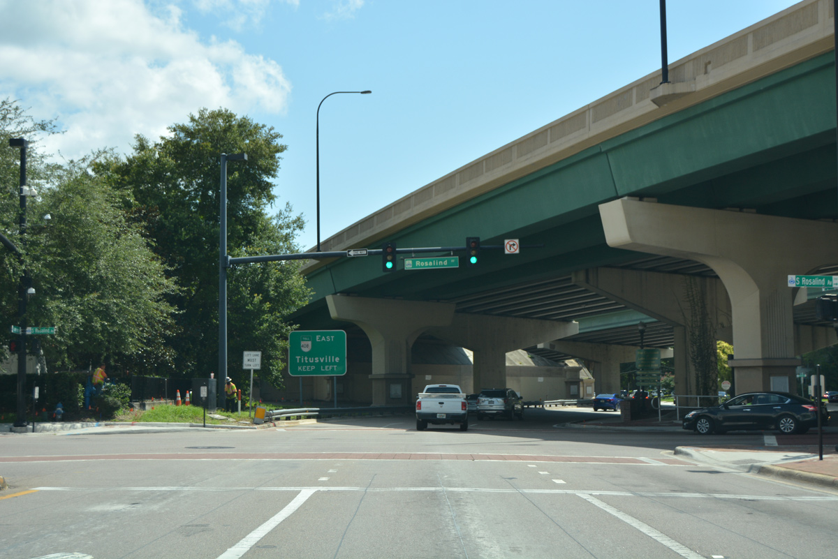
Anderson Street intersects Rosalind Avenue (former SR 527 north) as it shifts to the south side of the East-West Expressway (SR 408) viaduct.
09/07/16
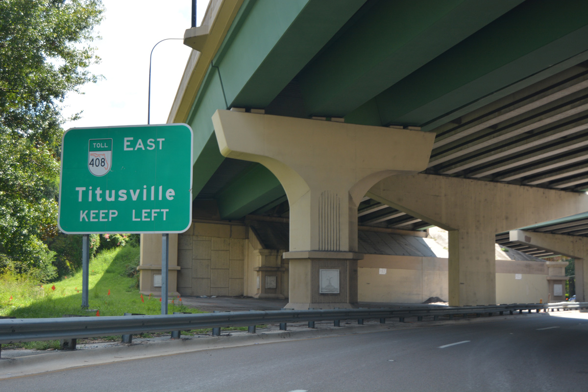
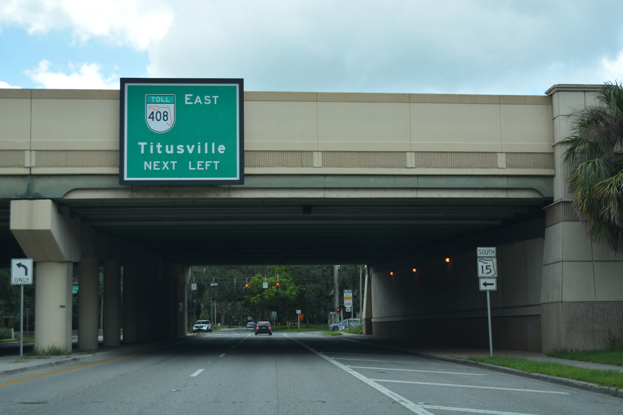
Anderson Street connects Downtown Orlando with SR 408 east to Union Park, University Park and Titusville.
09/07/16
The eastbound on-ramp for SR 408 departs from Anderson Street east of Delaney Avenue. A companion westbound off-ramp ties into South Street just to the north.
09/07/16
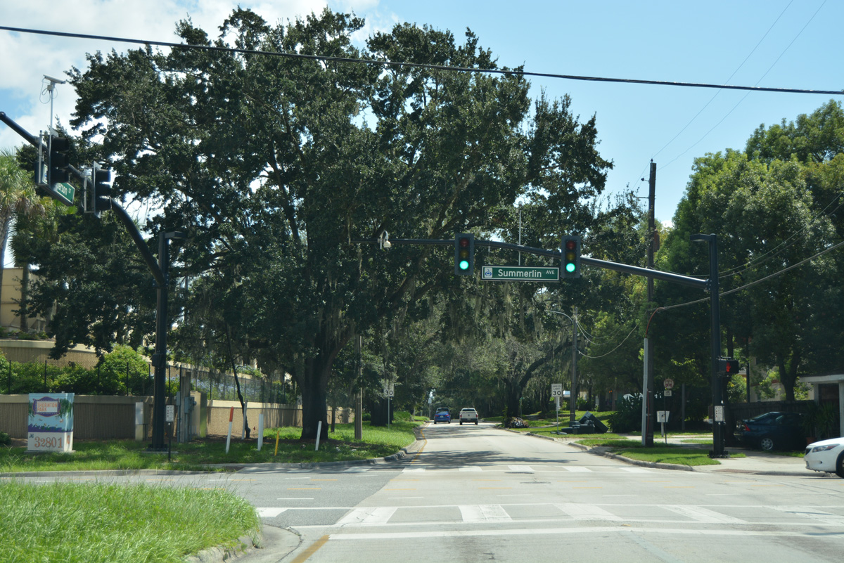
Summerlin Avenue crosses Anderson Street north from Lake Davis at the ensuing traffic light eastbound.
09/07/16
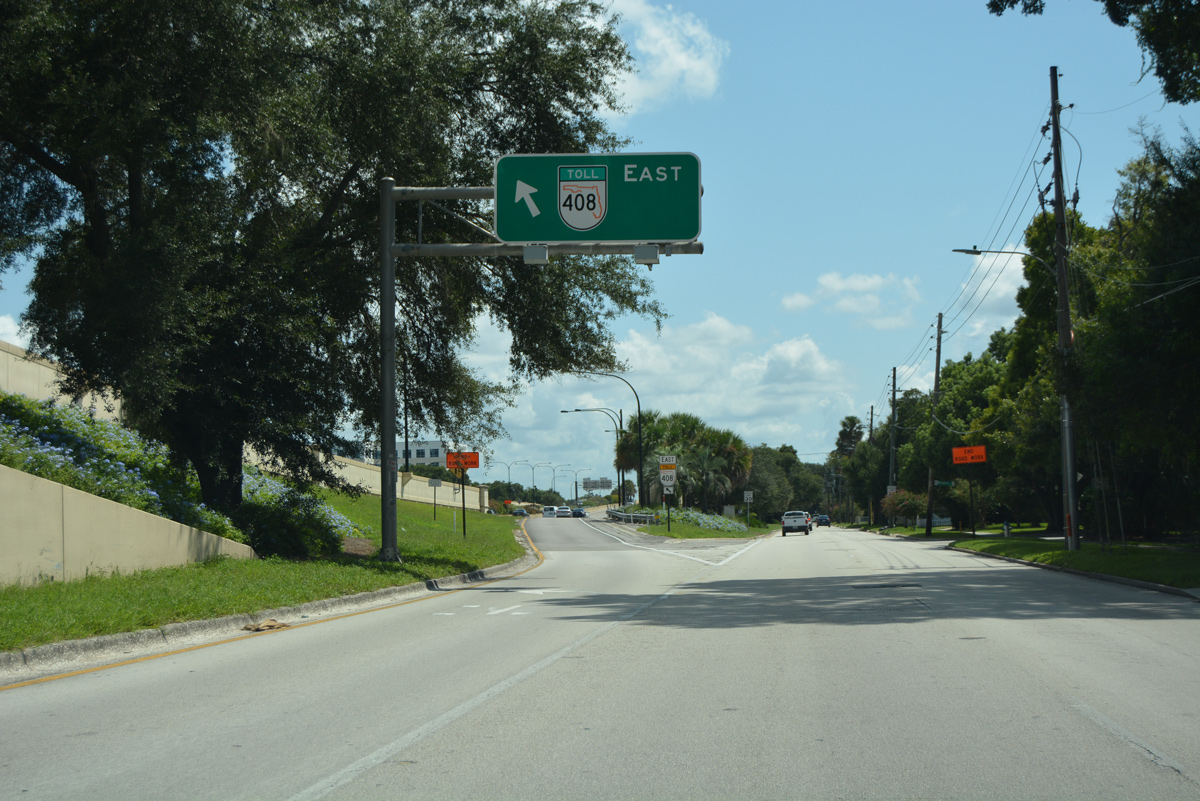
SR 15 southbound overlays Anderson Street east from Mills Avenue. A second on-ramp to SR 408 east follows nearby.
09/07/16
South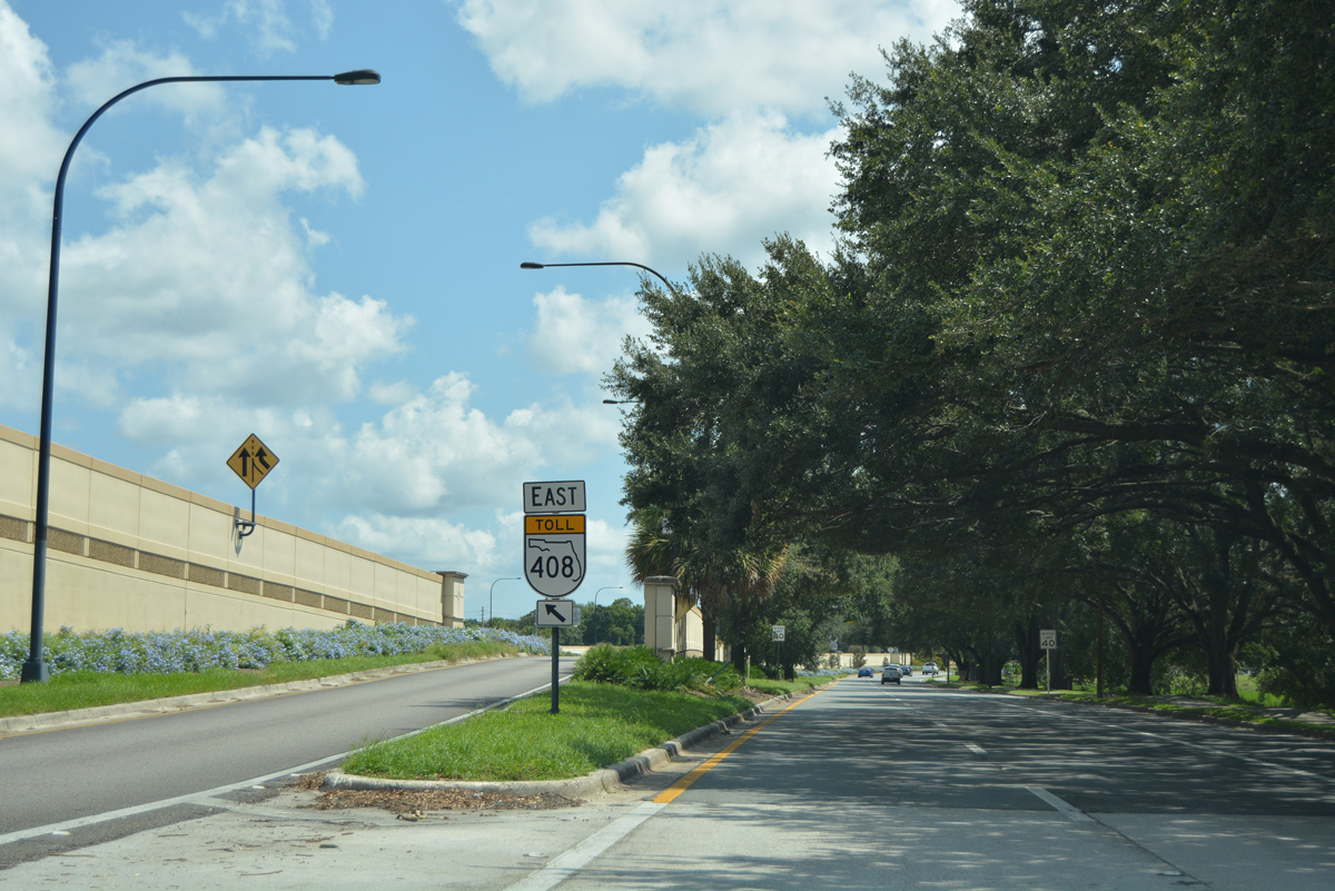
The Anderson Street on-ramp by Greenwood Urban Wetlands Park is the first of two direct connections with SR 408 eastbound from SR 15 south.
09/07/16

Continuing east on Anderson Street to the Orlando Highlands neighborhood, SR 15 enters a split diamond interchange connecting SR 408 with Bumby Avenue, Primrose Drive and Crystal Lake Drive.
09/07/16
The first SR 15 shield assembly posted after the turn from Mills Avenue onto Anderson Street stands beyond Bumby Avenue.
09/07/16
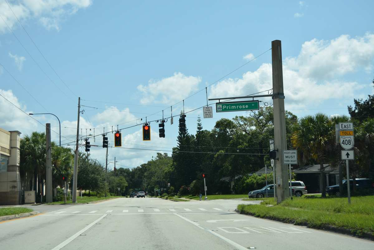
Primrose Drive connects SR 15 (Anderson / South Streets) with the Crystal Lake Terrace and Orlando Highlands neighborhoods to the south and Rolando Estates and Primrose Park to the north.
09/07/16
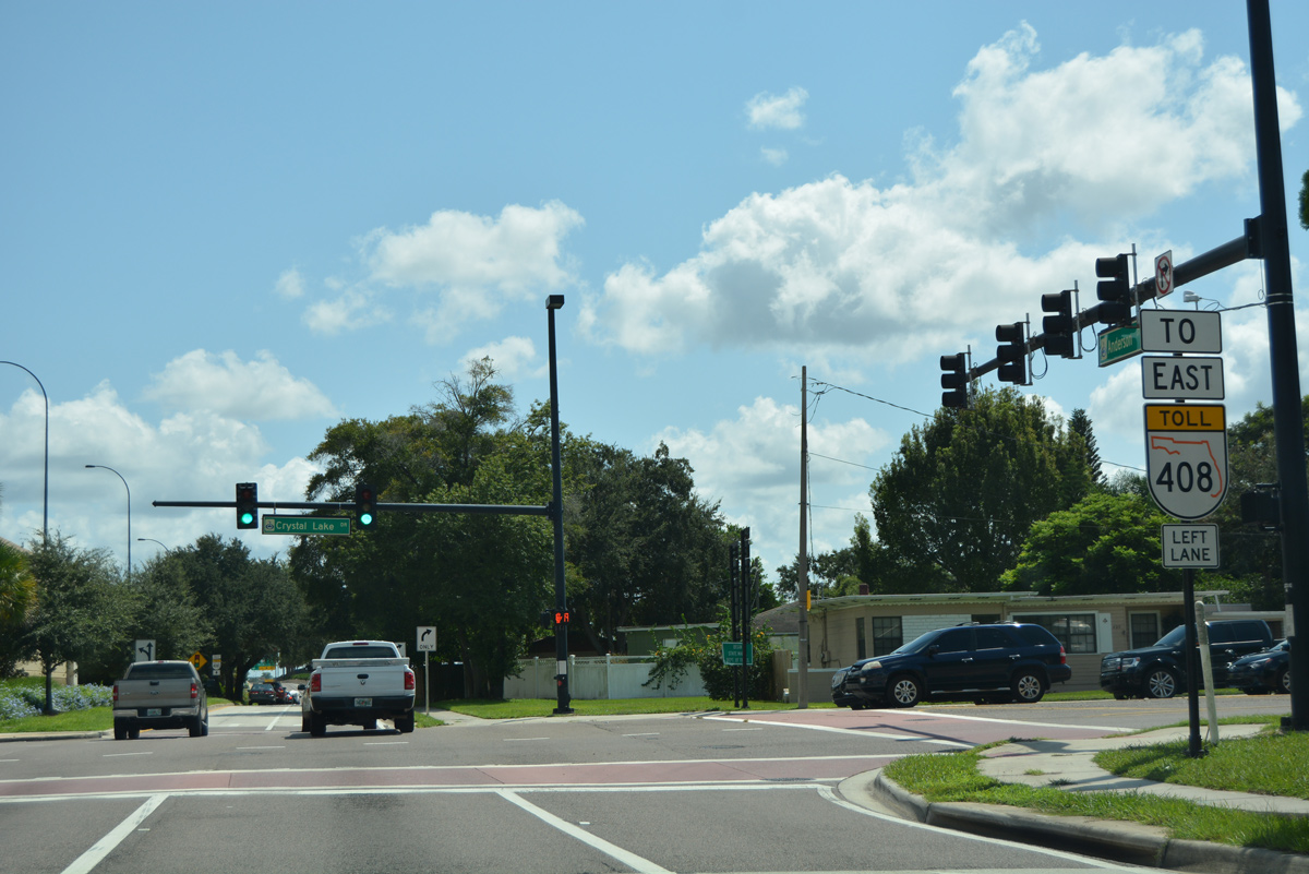
Crystal Lake Drive meets SR 15 (Anderson Street) south at the succeeding traffic light. Crystal Lake Drive north to Robinson Street and Orlando Executive Airport (ORD) was formerly a part of SR 526.
09/07/16
SR 15 turns south from Anderson Street at the forthcoming intersection with Lake Underhill Road and the eastbound on-ramp to SR 408.
09/07/16

The East-West Expressway spans Lake Underhill with 12 overall lanes as it runs along the south side of ORD Airport to Azalea Park. SR 15 circles southward around Lake Underhill Road to Conway Road.
09/07/16
SR 15 curves south through West Lake Underhill Park to the Heather Hills subdivision along a scenic drive.
09/07/16
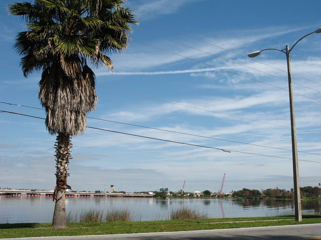
Looking north from SR 15 across Lake Underhill toward the East-West Expressway. The toll road was rebuilt across the lake in 2008.
02/08/08
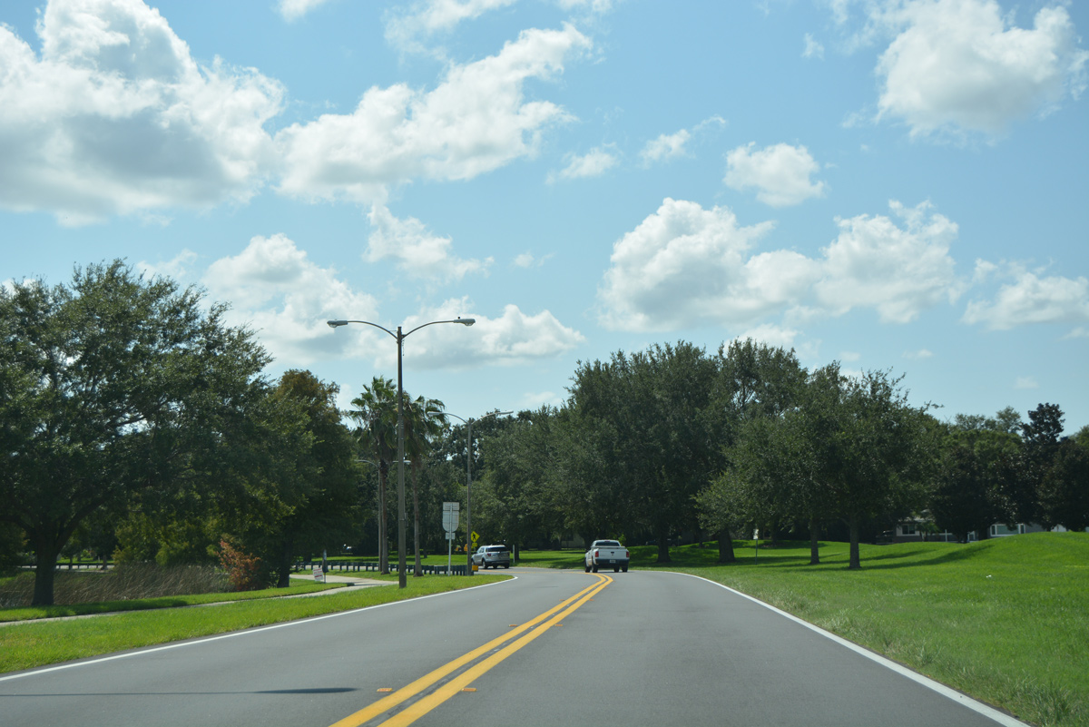
Splitting with Lake Underhill Road (CR 526) east, SR 15 joins Conway Road south from SR 408 through the Dover Shores neighborhood.
09/07/16
Confirming marker posted along Conway Road south of Lake Underhill Road (CR 526).
07/24/08
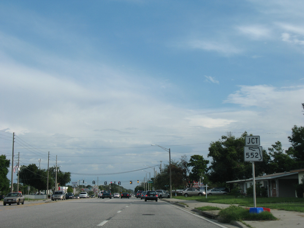
Approaching the west end of SR 552 and Curry Ford Road on SR 15 (Conway Road) south.
07/24/08
Curry Ford Road runs west along the Dover Shores neighborhood toward Fern Creek Avenue and the Lancaster Park community. SR 552 extends Curry Ford Road 2.64 miles east to SR 551 (Goldenrod Road) at Golden Acres in Orange County.
07/24/08
Continuing south from Curry Ford Road, SR 15 (Conway Road) passes by Conway Plaza shopping center.
07/24/08
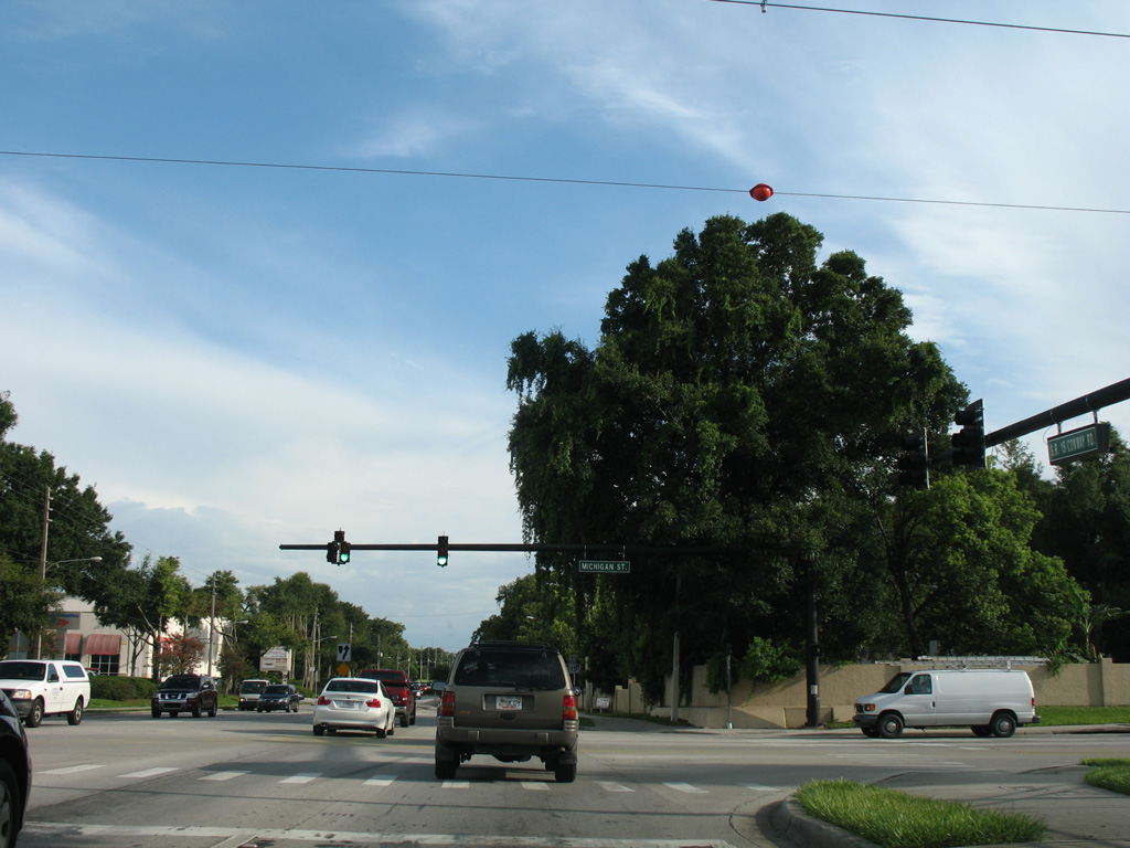
Conway Road intersects Michigan Street west of the Mariners Village community and Lake Porter.
07/24/08
Southbound reassurance marker posted along Conway Road after Michigan Street and ahead of Lake Tennessee.
07/24/08
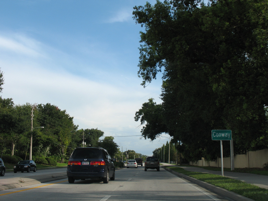
SR 15 leaves the Orlando city limits and enters the unincorporated community of Conway by the Robinsdale subdivision.
07/24/08
Lake Margaret straddles the Orlando city line east by the Bryn Mawr neighborhood en route to SR 436 (Semoran Boulevard) near Lake Frederica.
07/24/08
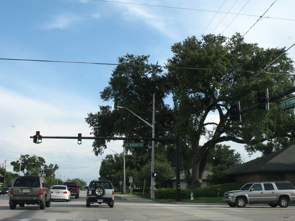
Advancing south through Conway from Lake Margaret Drive on SR 15.
07/24/08
The succeeding traffic light along Conway Road southbound serves Conway Middle School and subdivisions west of SR 15 to Crystal Lake Drive.
07/24/08
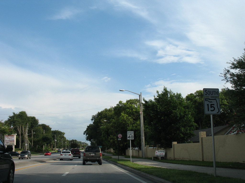
SR 15 shield posted south of Anderson Road on Conway Road.
07/24/08

Conway Gardens Road south turns east to become Gatlin Avenue by Lake Conway. Gatlin Avenue continues east across SR 15 (Conway Road) to Barber Park and SR 436 (Semoran Boulevard) in the city of Orlando.
07/24/08
South from Gatlin Avenue, SR 15 (Conway Road) travels by the Shenandoah Park and Lake Conway Woods neighborhoods east of Lake Conway.
07/24/08
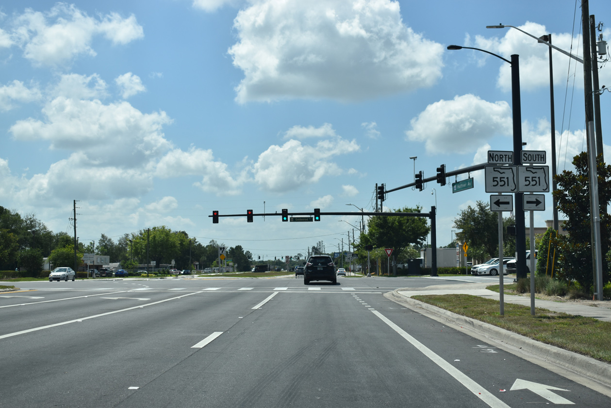
SR 15 parts ways with Conway Road at a commercialized intersection with Hoffner Avenue (County Road 506) along the Belle Isle city line. Hoffner Avenue turns SR 15 east back into Orlando while doubling as CR 506 west across Belle Isle to Pine Castle.
03/28/08
Hoffner Avenue leads due east from Belle Isle to the Conway Acres neighborhood and the Orlando city line at Semoran Boulevard. Construction through 2019 expanded this stretch of SR 15 to a four lane, divided arterial.
05/30/19

SR 436 (Semoran Boulevard) represents a major north-south arterial through east Orlando. The state road follows a linear course south to Orlando International Airport (MCO).
05/30/19
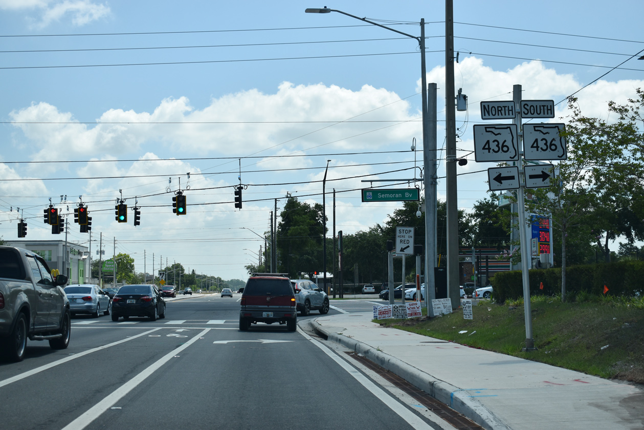
Semoran Boulevard wraps around the east side of Orlando northward to Aloma and Casselberry in Seminole County. SR 436 travels 25 miles overall from SR 528 (Beachline Expressway) to U.S. 441 (Orange Blossom Trail) at Apoka.
05/30/19

Confirming marker posted after SR 436 (Semoran Boulevard). Signs along both directions of Hoffner Avenue previously referenced this stretch of SR 15 as an east/west route.
05/30/19
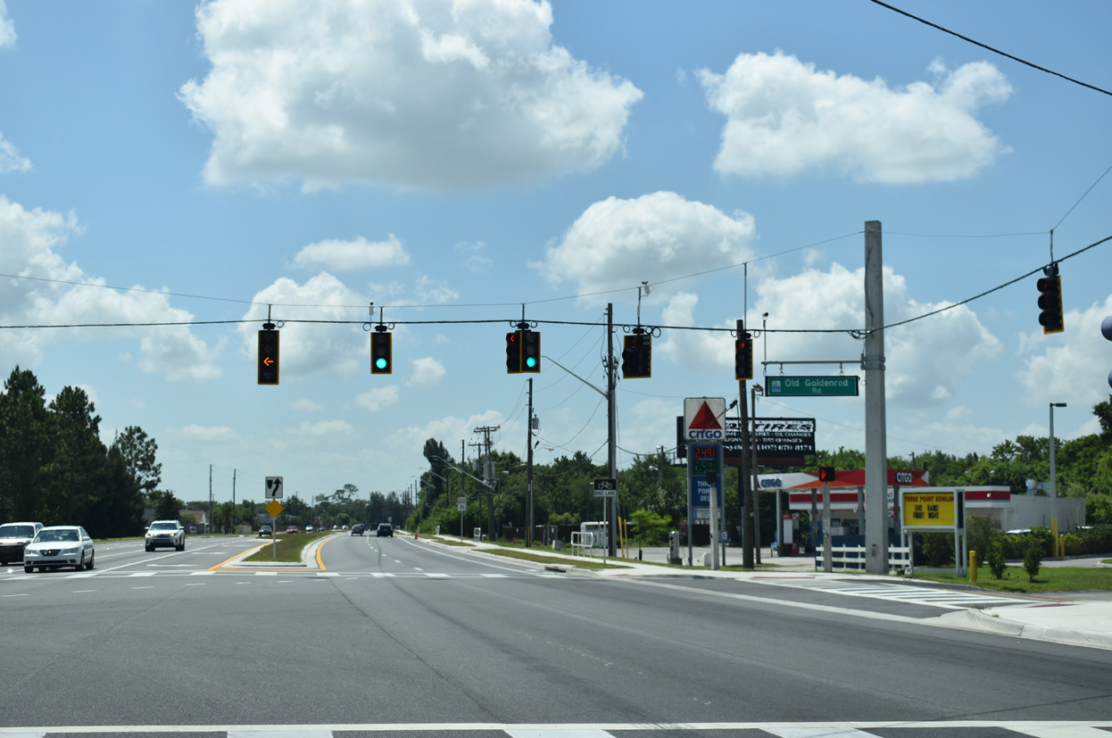
Hoffner Avenue (SR 15) angles southeast into the intersection with Goldenrod Road.
05/30/19
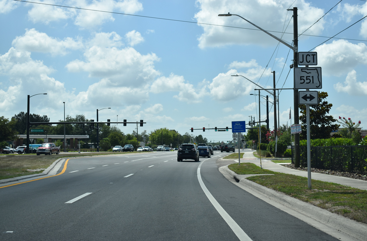
Goldenrod Road was extended south to the Beachline Expressway at Heintzelman Boulevard in 2003. The arterial north of Old Goldenrod Road to Azalea Park and Aloma is SR 551.
05/30/19
Still state maintained as SR 551, Old Goldenrod Road comprises a four lane link from SR 15 (Hoffner Avenue) north to Desoto Avenue and the continuation of SR 551 (Goldenroad Road) northbound. SR 551 follows the rest of Goldenrod Road north to SR 426 at Goldenrod.
05/30/19
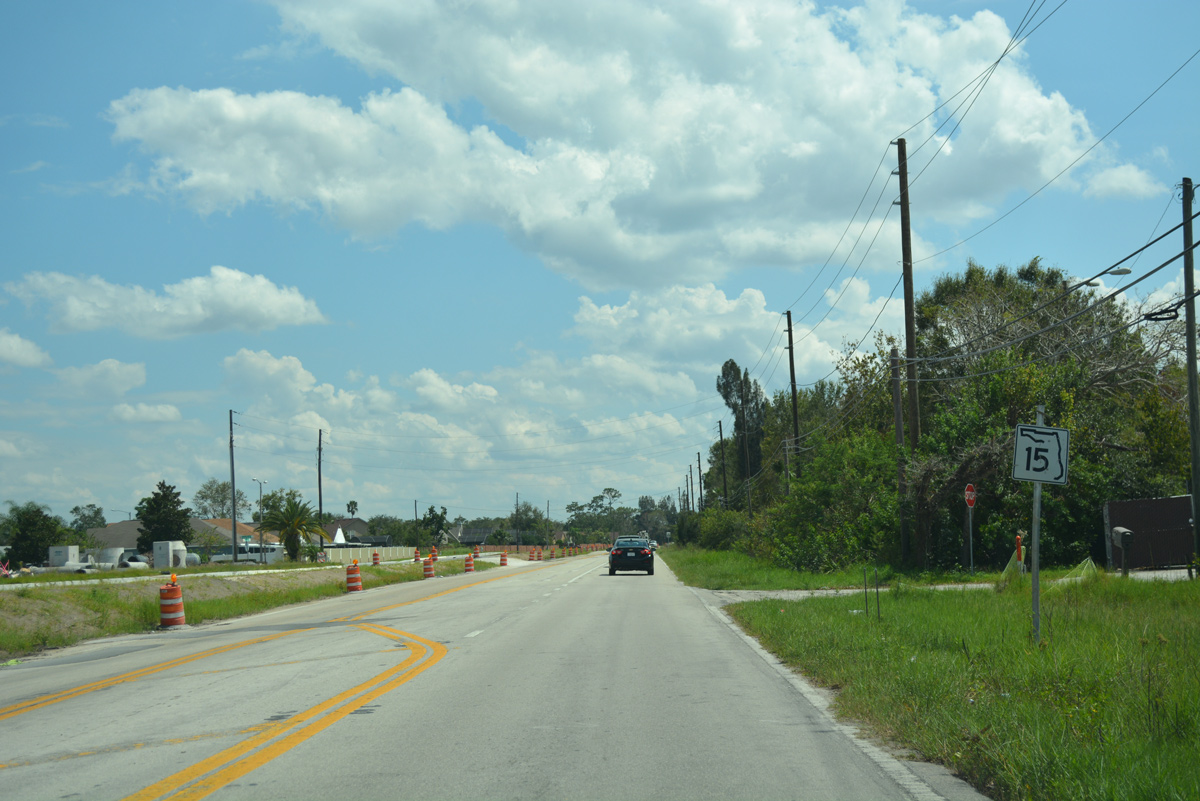
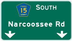
SR 15 transitions to Narcoosee Road after the south end of SR 551 (Old Goldenrod Road). $37.1 million in construction through Spring 2019 widened a 2.679 mile long section of SR 15 south to Lee Vista Road.2
09/20/17
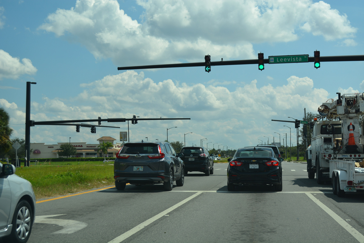
Lee Vista Boulevard is an arterial serving an array of commerce parks, apartment complexes and the Lee Vista Promenade retail area at SR 436 (Semoran Boulevard). SR 15 was truncated north to Lee Vista Boulevard in 2020.
09/20/17
 South
South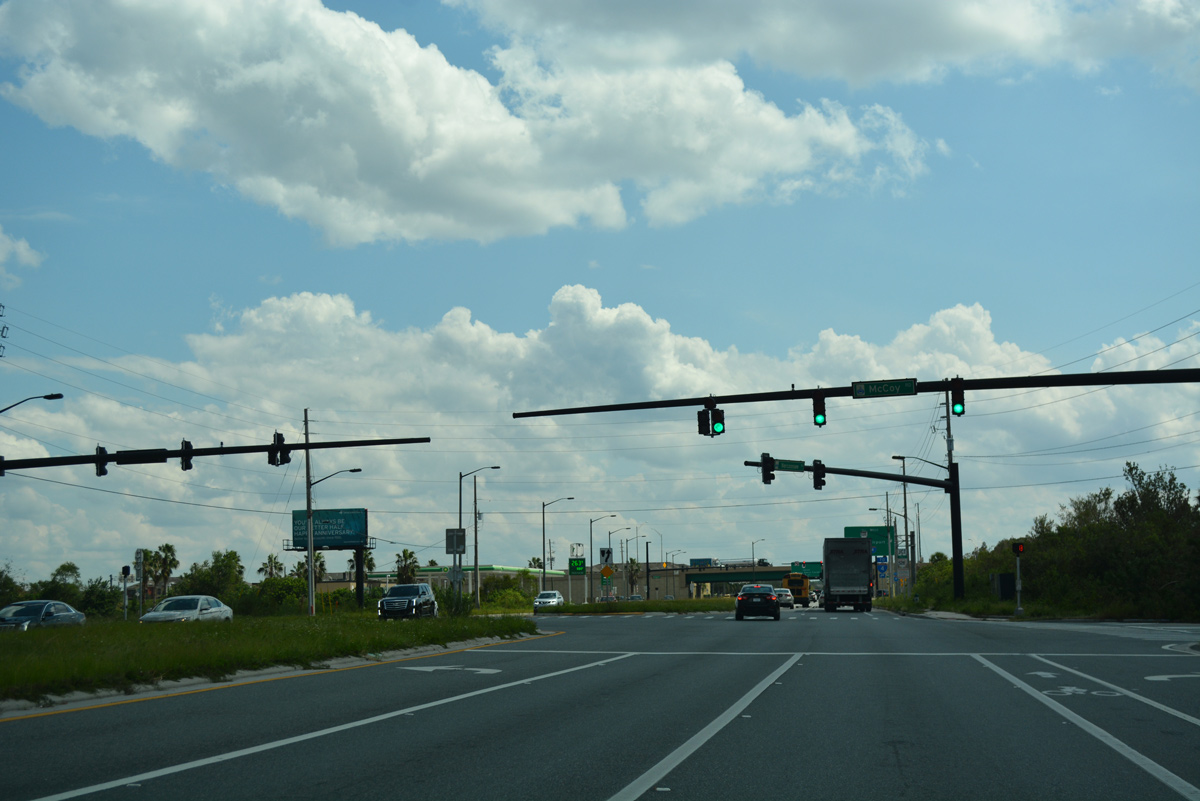
The eastern section of McCoy Road spurs west from CR 15 (Narcoossee Road) to a handful of businesses along the north side of the Beachline Expressway. The frontage road is discontinuous with subsequent sections west toward Belle Isle.
09/20/17
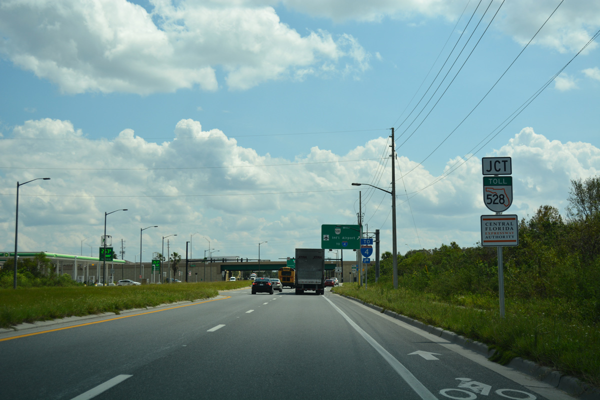
A diamond interchange with SR 528 follows McCoy Road on CR 15 (Narcoossee Road) south.
09/20/17
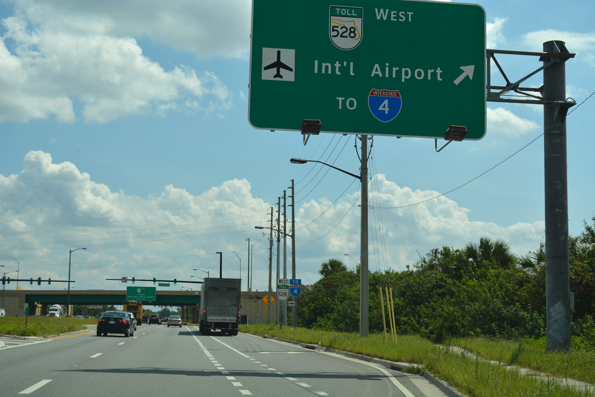
Operated jointly between the CFX and FTE, the Beachline Expressway crosses the Orlando metropolitan area west from Orlando International Airport (MCO) to Pine Castle, the International Drive Resort Area, and I-4.
09/20/17
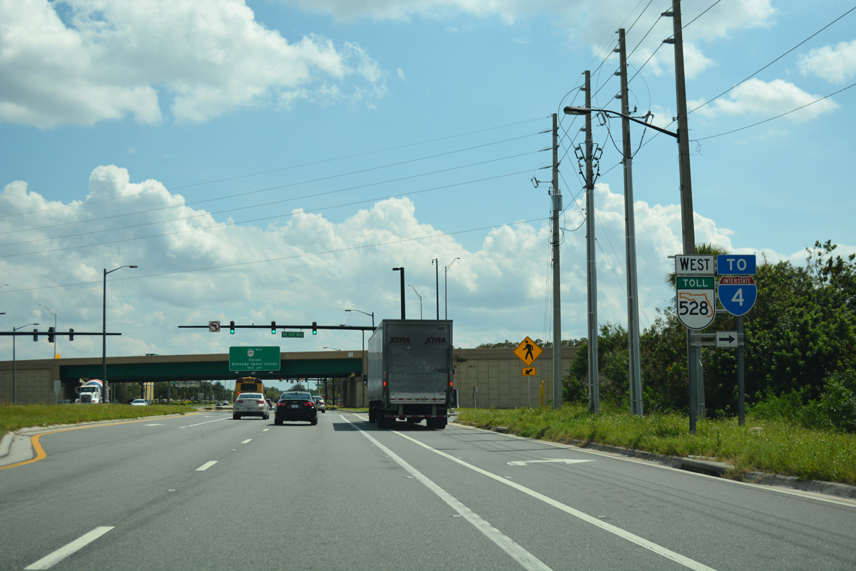
The westbound entrance ramp for SR 528 departs from Narcoossee Road south. SR 15 previously ended here, with CR 15 continuing Narcoosee Road south to Lake Nona in southeast Orlando and St. Cloud in Osceola County.
09/20/17
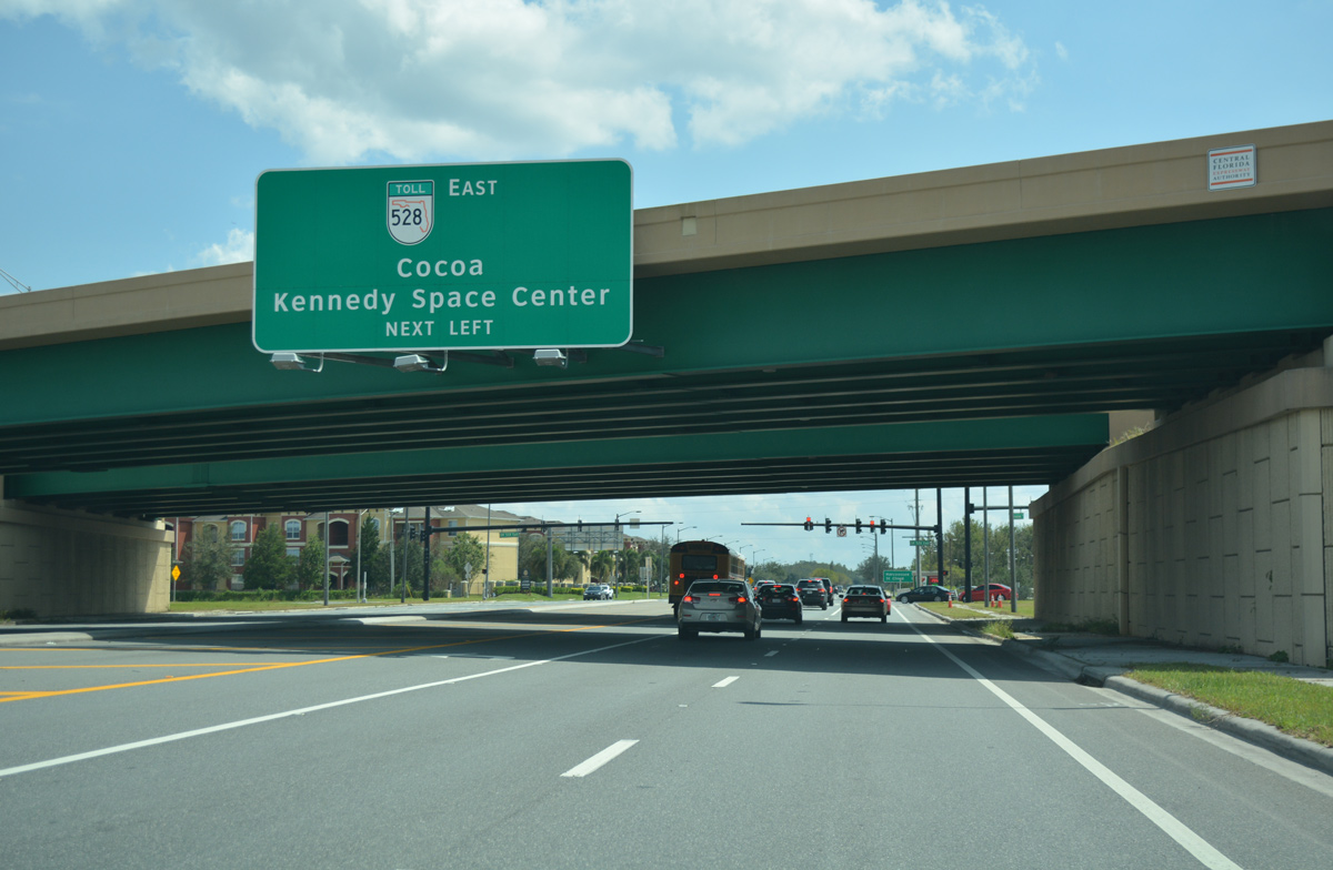
East from Narcoosee Road, the Beachline Expresssway continues to meet the Central Florida GreeneWay (SR 417) and Innovation Way. The 53 mile long toll road and freeway concludes at Cape Canaveral.
09/20/17
References:
- "Wharton-Smith Celebrates Topping Out of Hillcrest Elementary School." Wharton Smith, Inc. February 6, 2018.
- 239266-3 SR 15 (Hoffner Avenue) from North of Lee Vista Boulevard to West of SR 436 (Semoran Boulevard). CFLRoads, Florida Department of Transportation project web site.
Photo Credits:
- ABRoads: 09/20/17, 09/01/18, 09/08/18
- Alex Nitzman: 02/08/08, 03/28/08, 07/24/08, 09/07/16, 05/30/19
Connect with:
Page Updated Friday May 31, 2019.