
State Road 29 North

 North
North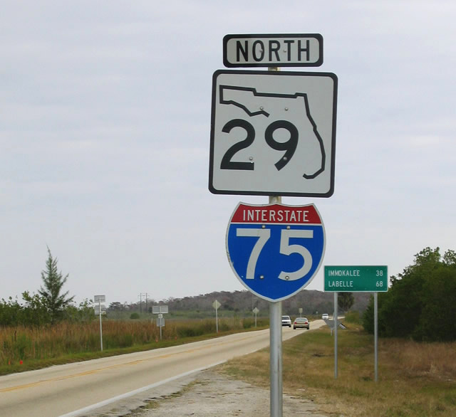
What was the first northbound reassurance marker for SR 29 was cosigned as I-75 erroneously.
12/31/03
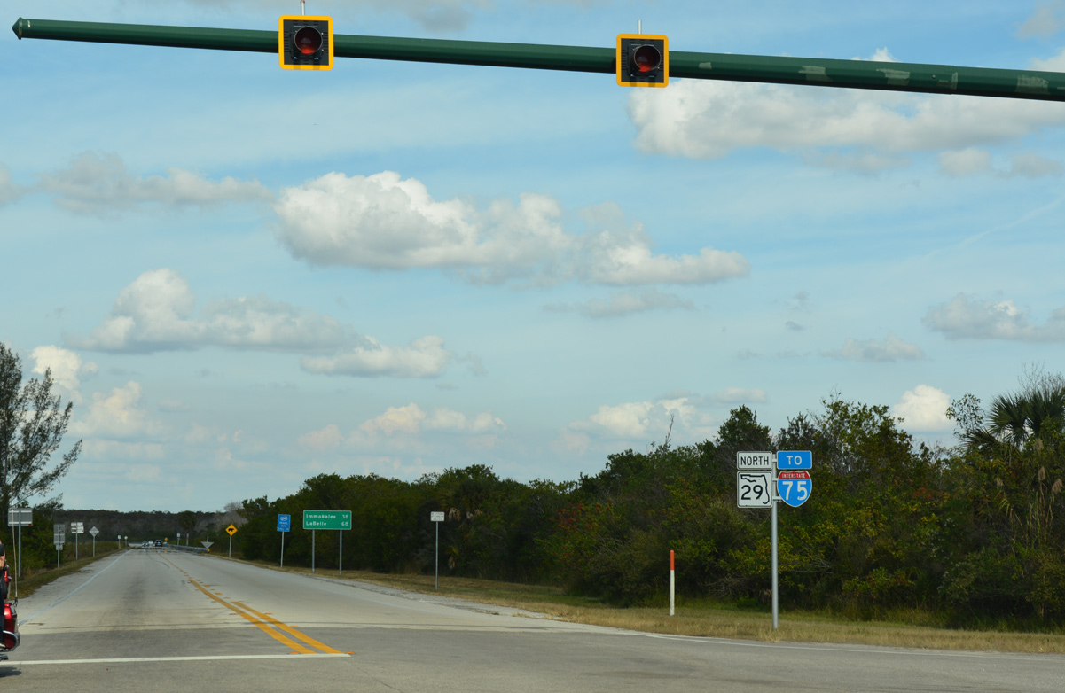
SR 29 leads north 17 miles to the western of two interchanges along Alligator Alley. Immokalee is another 21 miles from there.
11/26/16
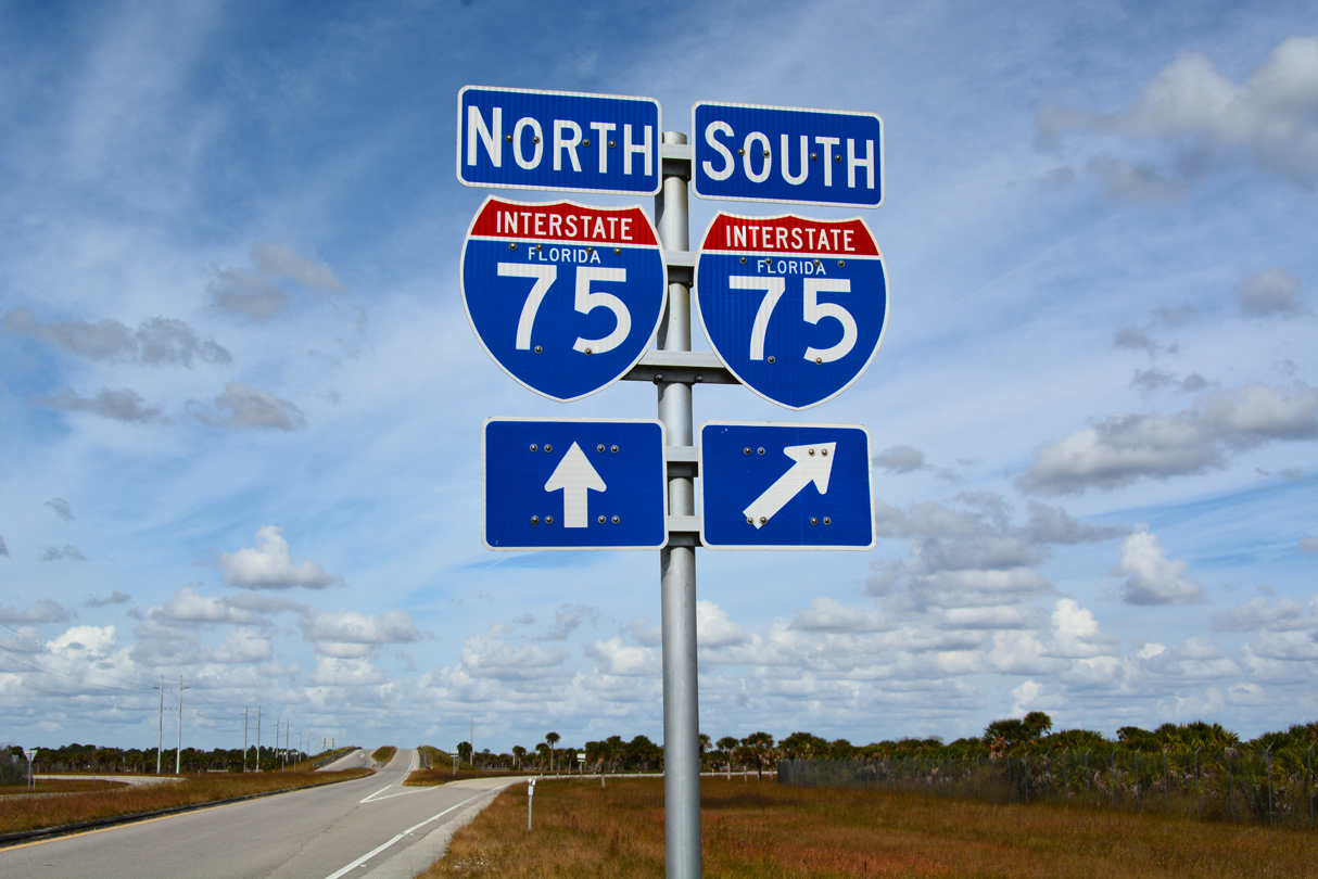
A diamond interchange joins SR 29 with Interstate 75 (Alligator Alley) at Miles City.
11/26/16
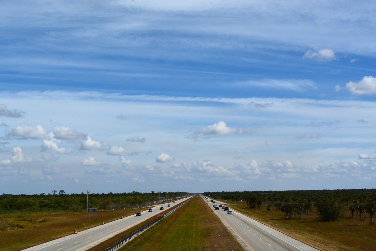
Interstate 75 (Everglades Parkway) traverses Big Cypress National Preserve to the east of SR 29.
11/26/16
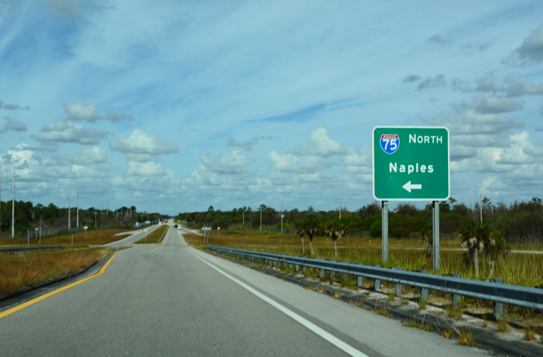
Alligator Alley leads west from SR 29 to SR 951 outside the city of Naples.
11/26/16
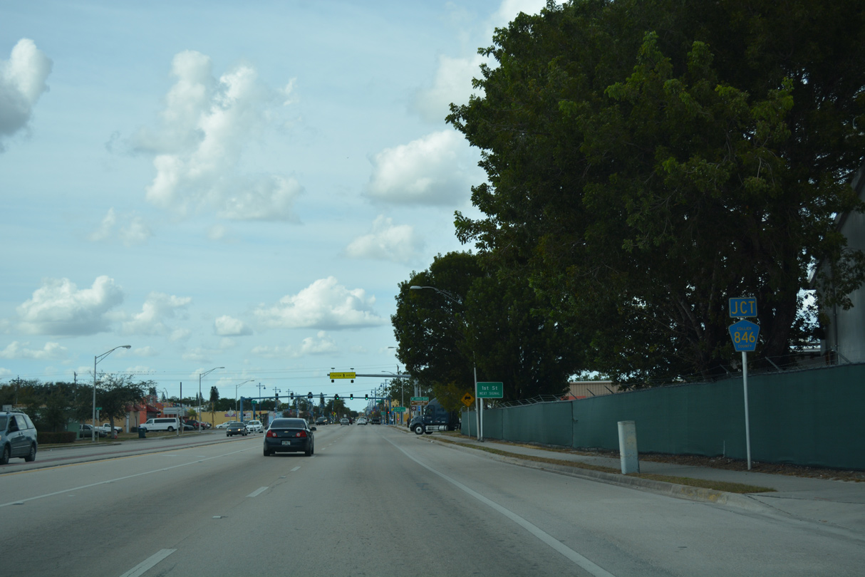
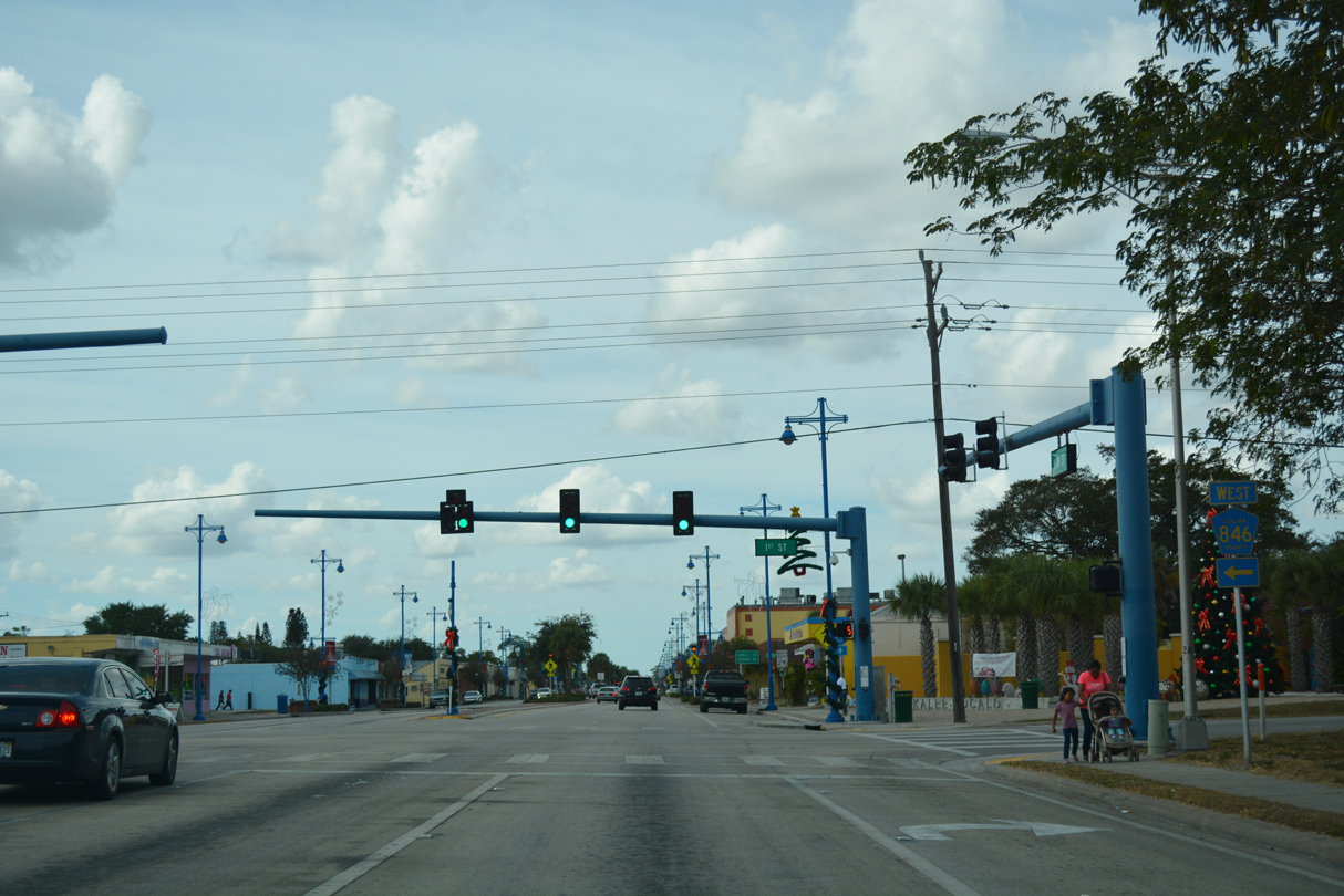
SR 29 follows Main Street west from CR 29A to the western branch of CR 846 (1st Street) in Immokalee.
11/26/16
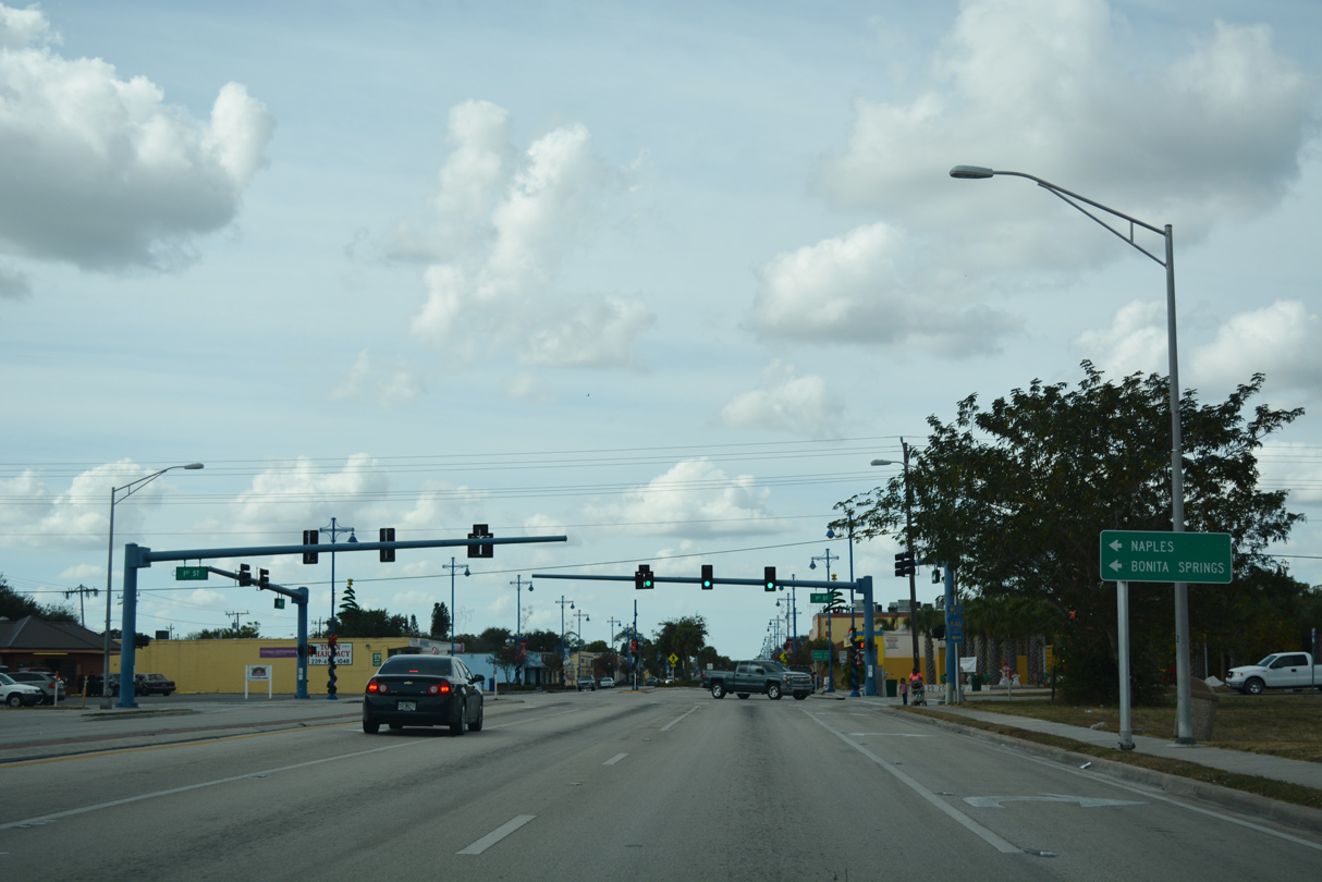
Collier County Road 846 follows a stair stepped alignment 32.92 miles from Immokalee to U.S. 41 at Naples Park.
11/26/16
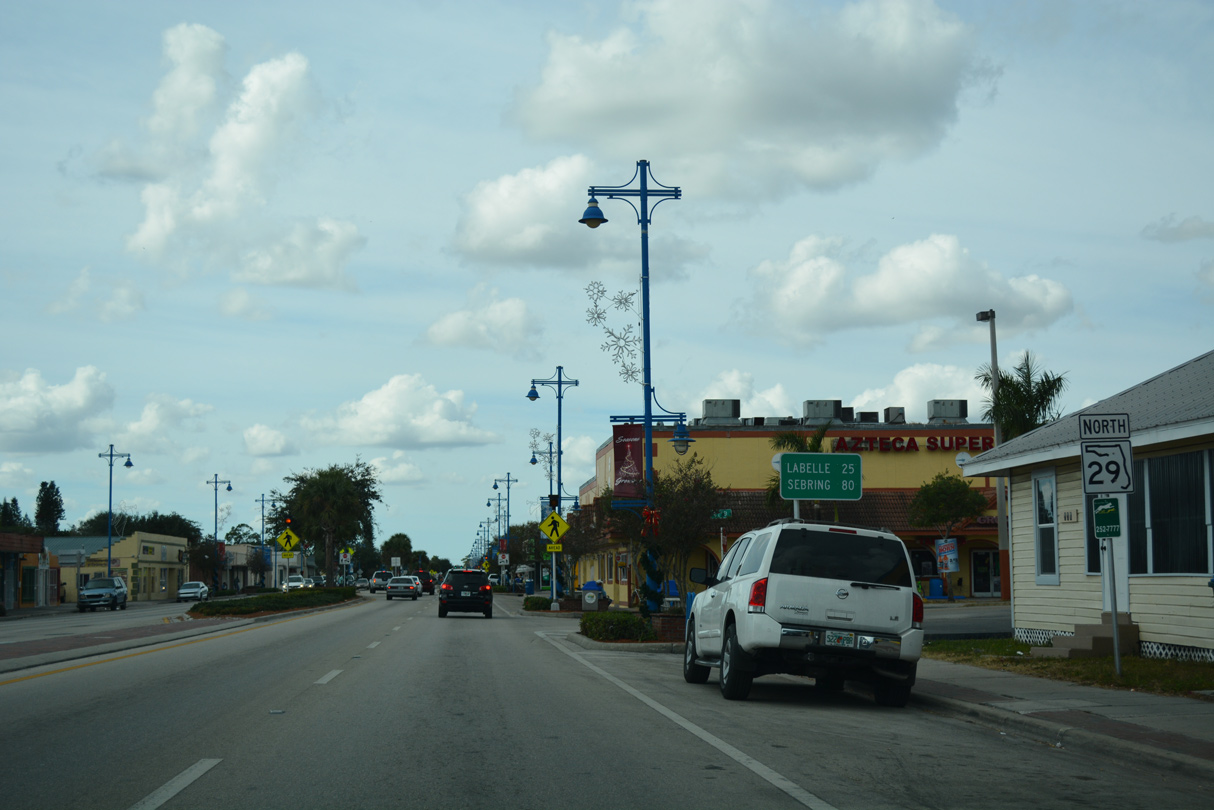
LaBelle is a 25 mile drive from CR 846 south on State Road 29 north. Sebring is located along U.S. 27 well beyond the northern end point of SR 29.
11/26/16
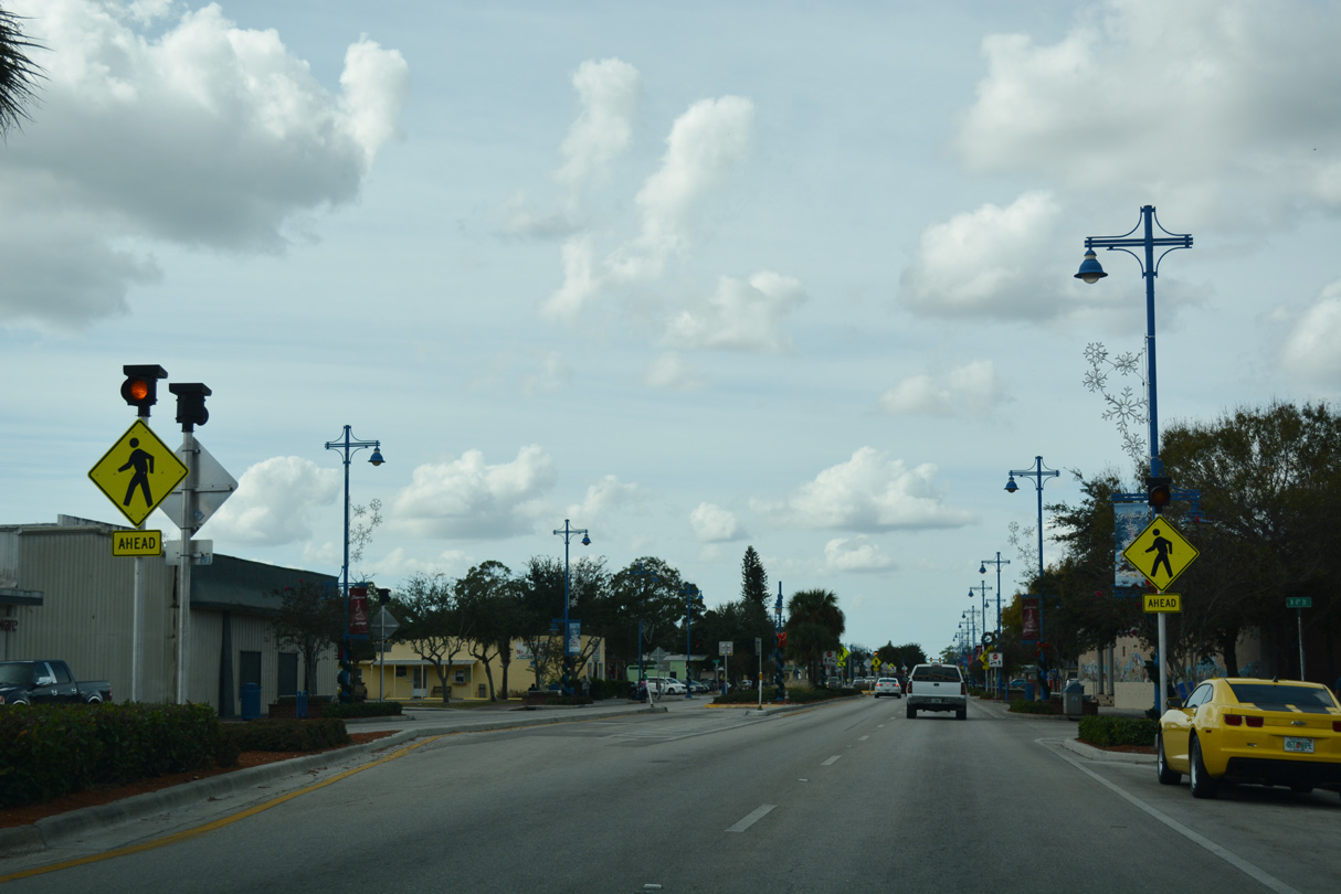
Advancing west through Immokalee at Main and 4th Streets.
11/26/16
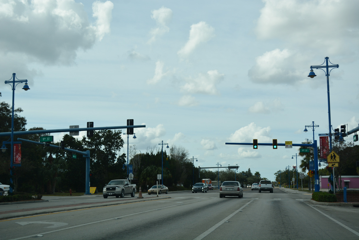
9th Street intersects SR 29 south of Immokalee High School.
11/26/16
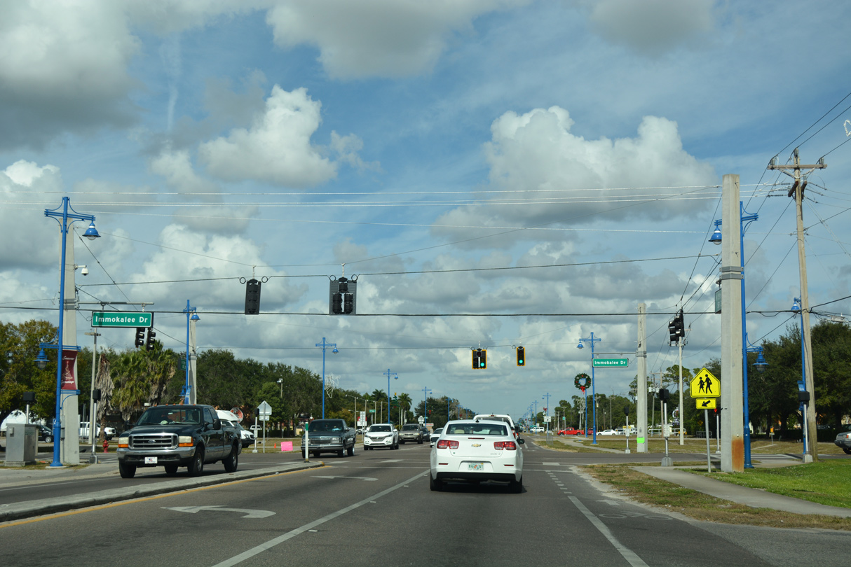
SR 29 curves northward onto 15th Street ahead of the signal at Immokalee Drive.
11/26/16
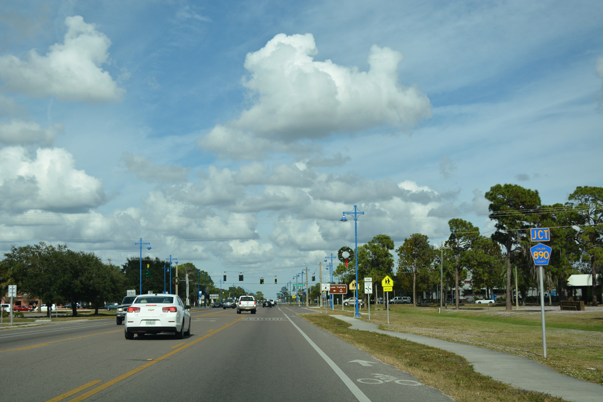
Collier County Road 890 follows Lake Trafford Road west from SR 29 (15th Street) in Immokalee.
11/26/16
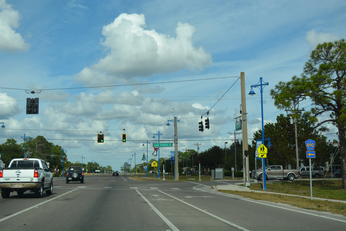
CR 890 extends 2.88 miles west to Pepper Road and Lake Trafford Park.
11/26/16
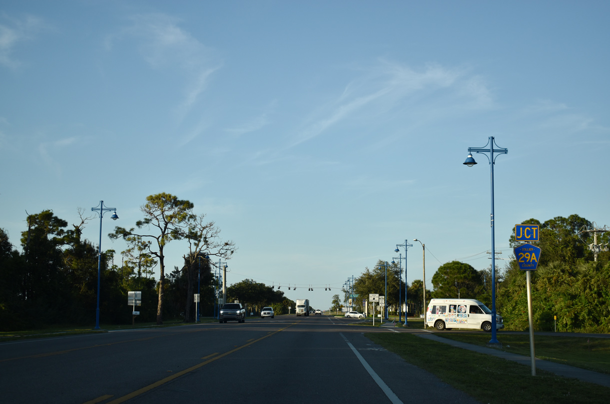
County Road 29A angles 2.14 miles southeast through Immokalee along New Market Road.
11/29/19
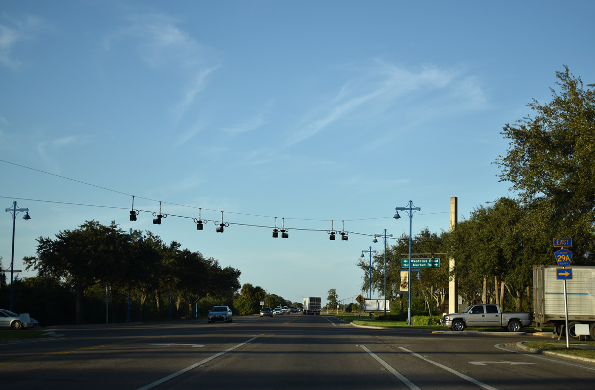
CR 29A leads southeast to SR 29 near the east branch of CR 846 and Immokalee Regional Airport (IMM). Westclox Street extends west from New Market Road to neighborhoods along Carson Road.
11/29/19
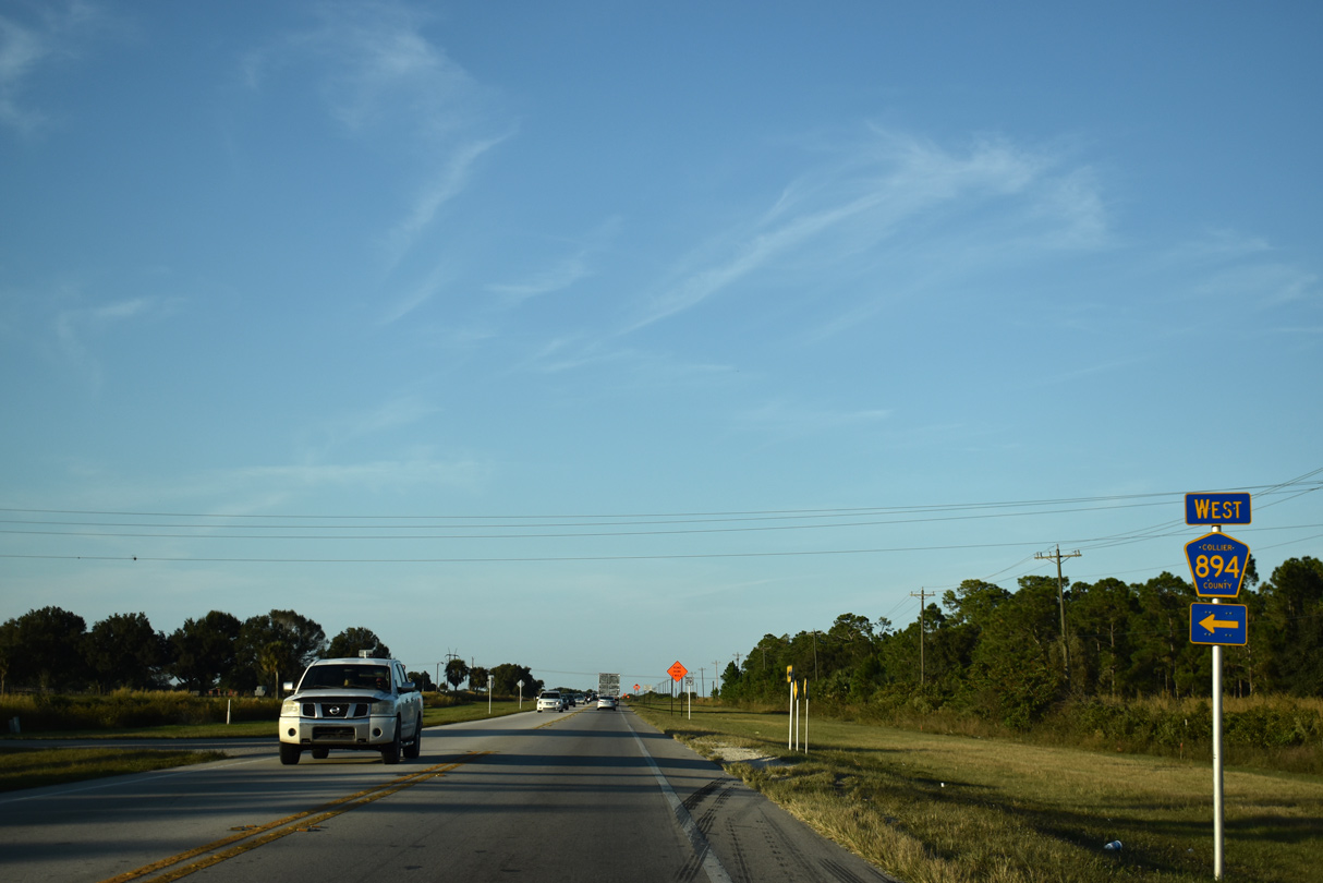
Collier County Road 894 (Experimental Road) spurs 0.3 miles west from SR 29 along the north side of the UF / IFAS - Southwest Florida Research and Education Center (SWFREC).
11/29/19
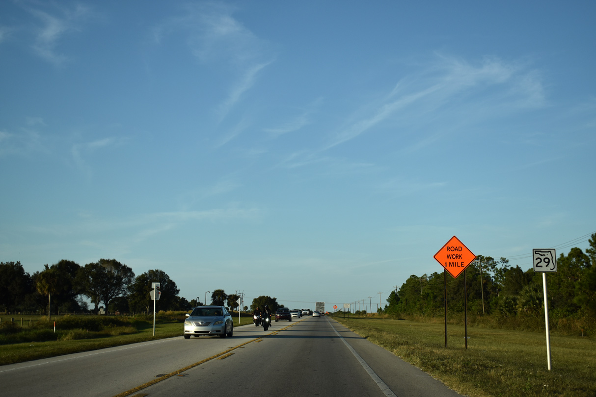
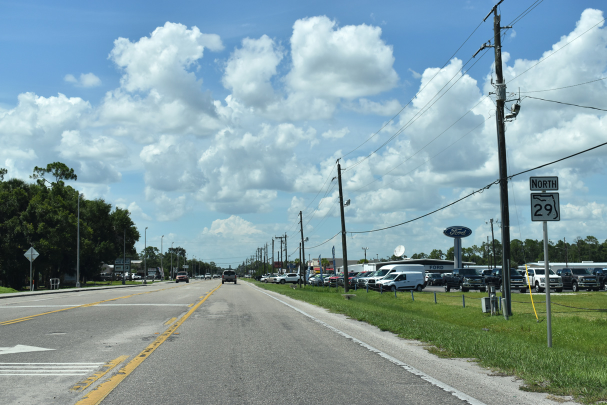
The first reassurance shield for SR 29 north of Immokalee appears after CR 894 (Experimental Road).
11/29/19
State Road 82 branches northwest from SR 29 along a 29.90 mile course to Fort Myers.
11/29/19
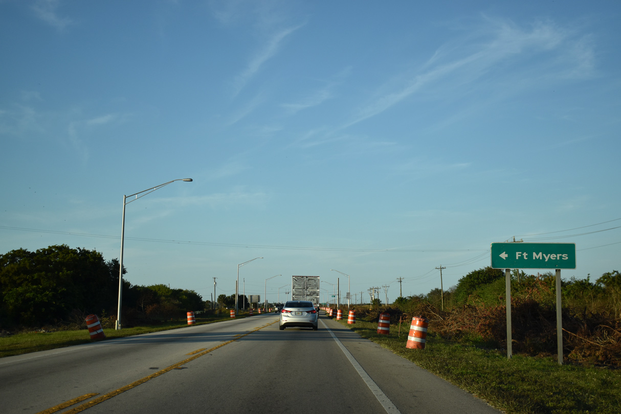
Construction underway from October 2019 to Summer 2012 widens a 3.2 mile section of SR 82 leading west from SR 29 to Gator Slough Lane. Included in the $29 million project is the addition of a multilane roundabout at the junction of SR 29 and SR 82.
11/29/19
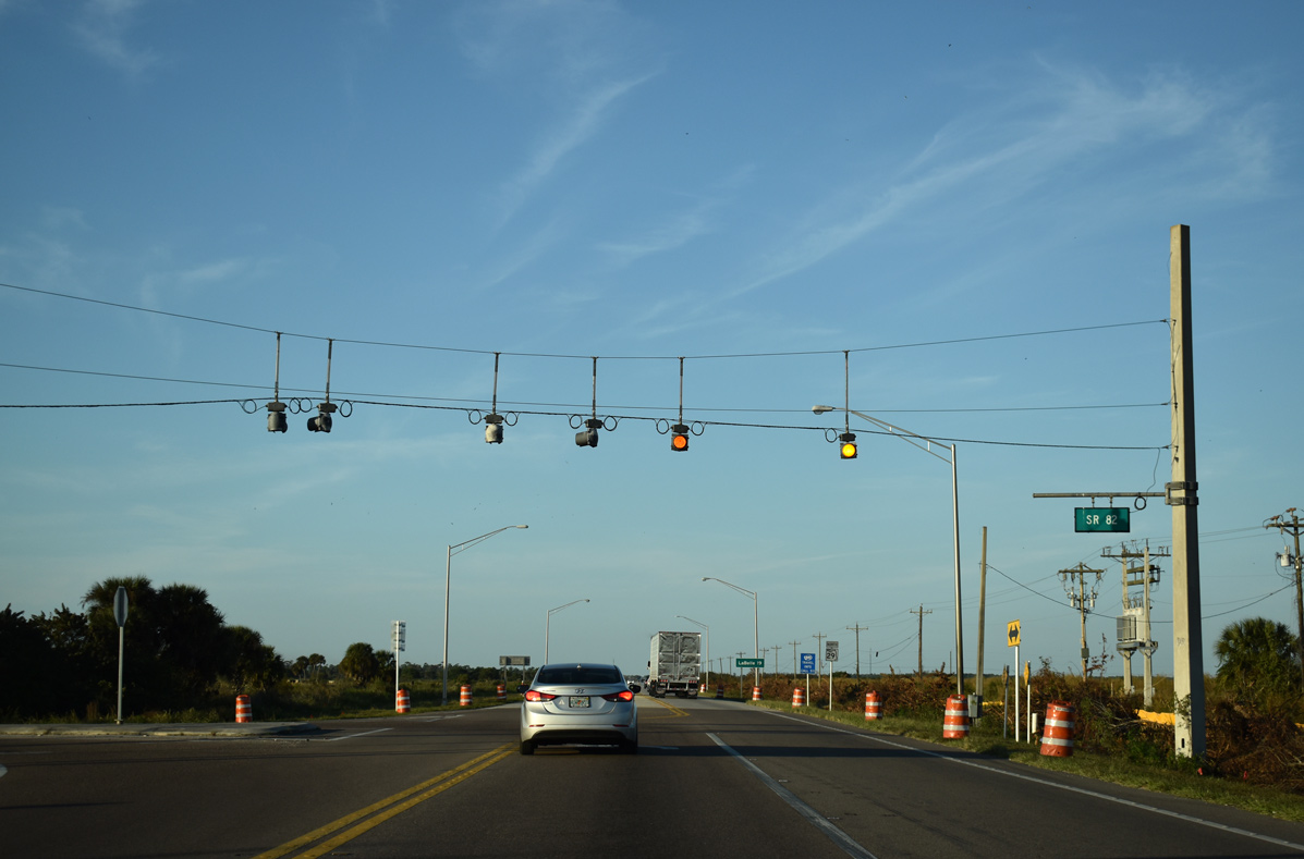
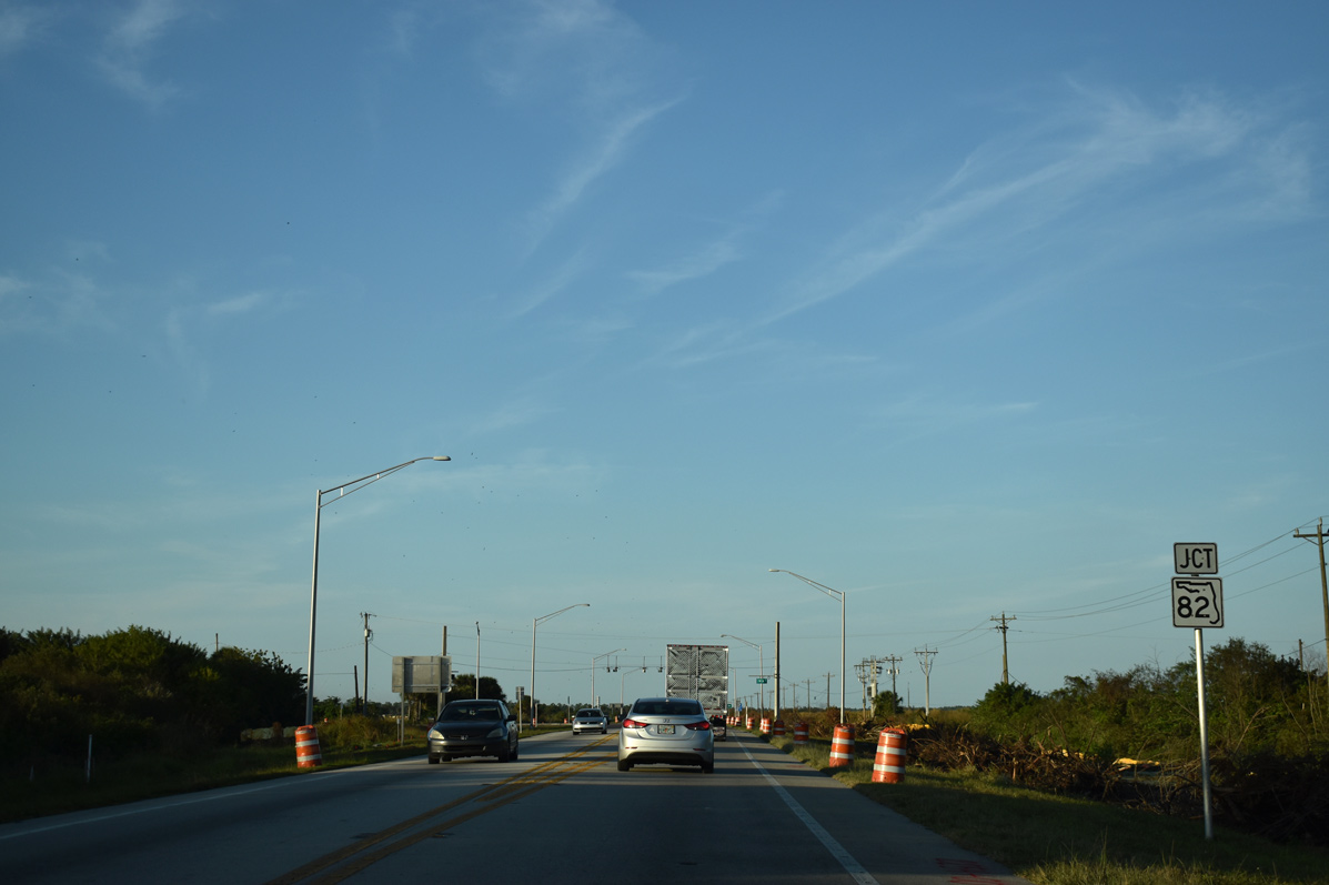
State Road 82 heads west to Lehigh Acres while SR 29 remains north to Felda.
11/29/19
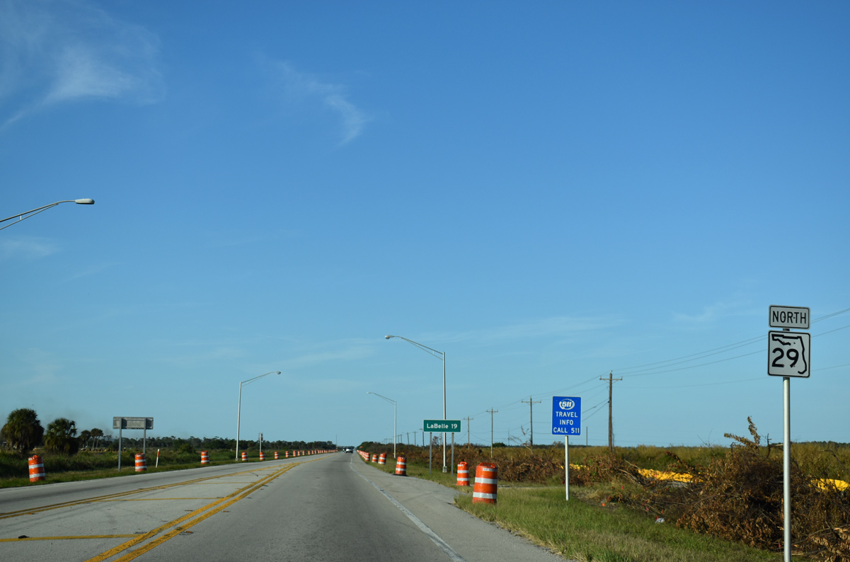
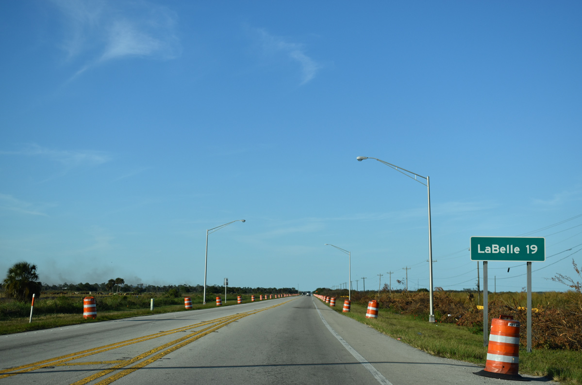
LaBelle lies 19 miles north of the east end of SR 82 via SR 29.
11/29/19
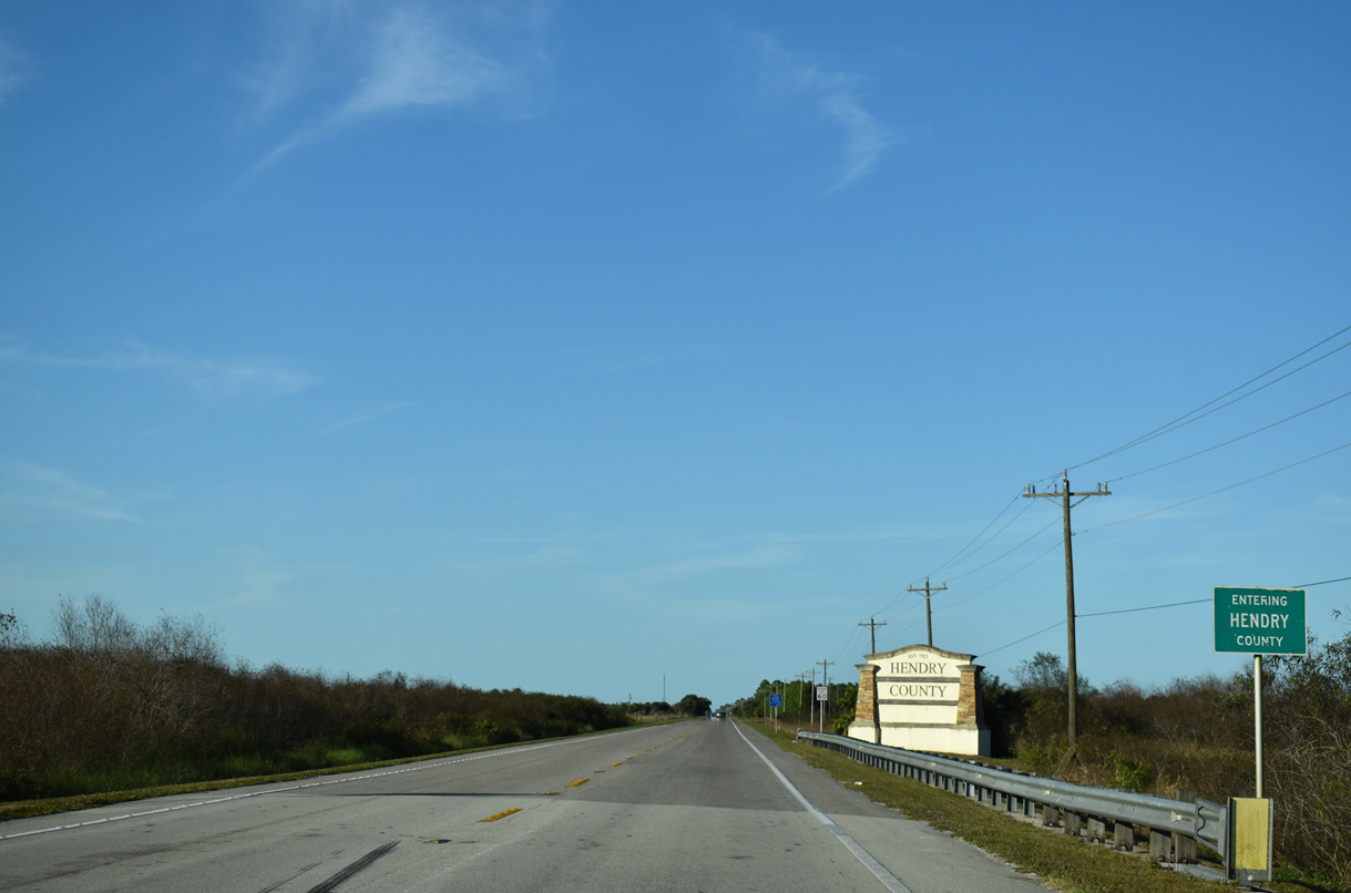
Design work for the future widening (Segment 4) of SR 29 from SR 82, two miles north to Hendry County, is underway from January 2015 to June 2021. Segment 4 is part of the overall plan to four lane all of SR 29 from Imokalee to LaBelle.
11/29/19
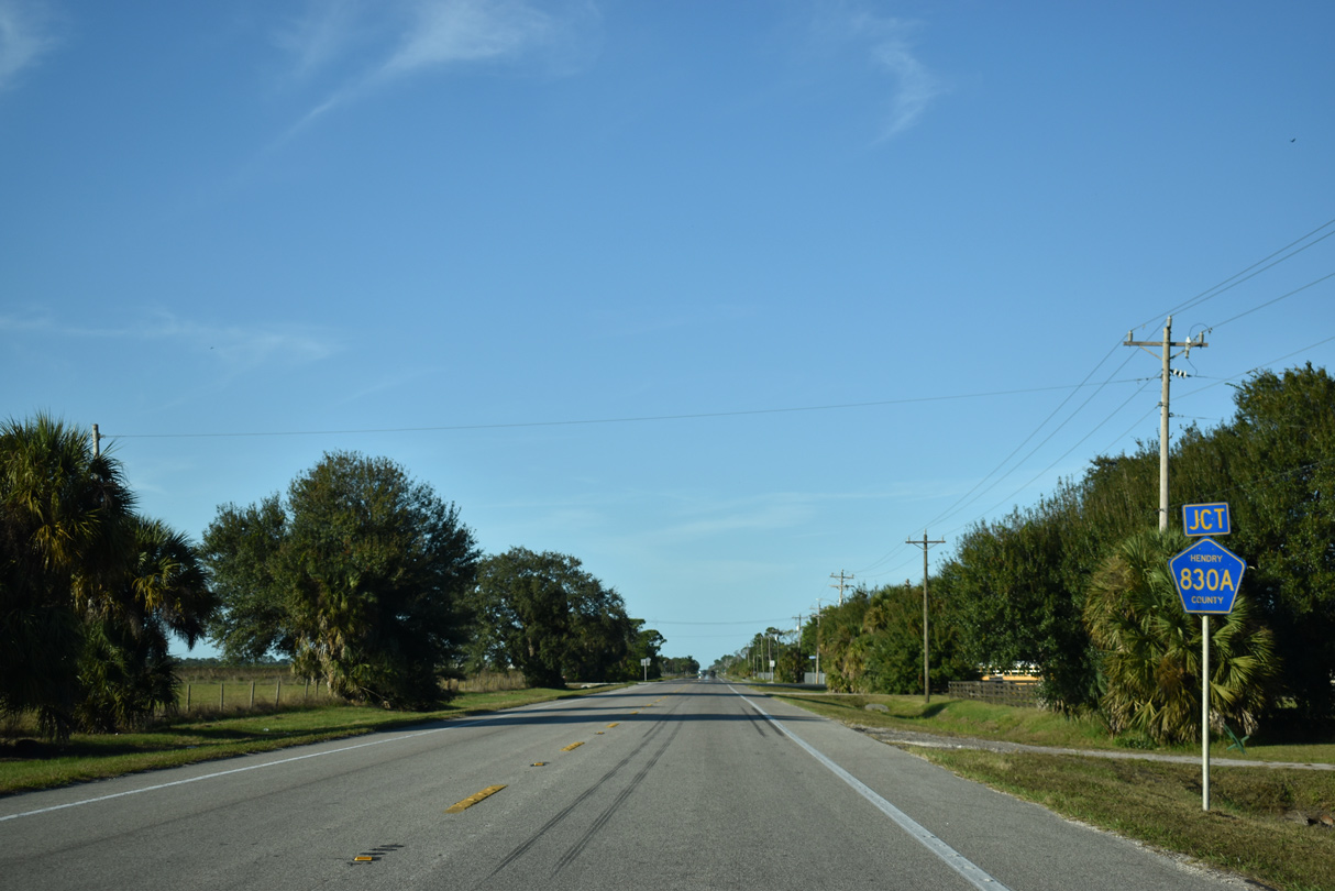
Entering the unincorporated community of Felda, SR 29 meets the west end of CR 830A. CR 830A leads 2.04 miles east to CR 830 (N Felda Loop Road).
11/29/19
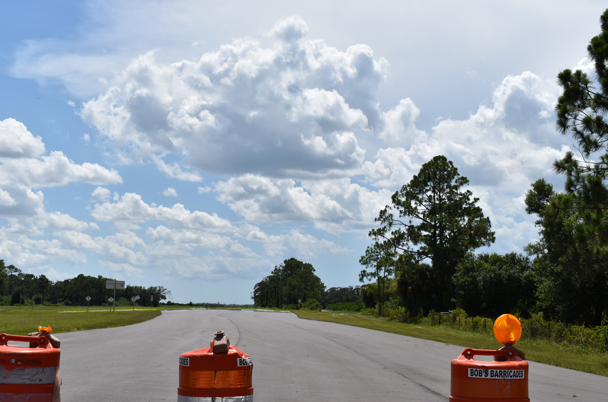
Previously anticipated to open in Spring 2019, the Helms Road Extension opened to traffic on June 30, 2020. The new roadway links SR 29 at Helms Road with SR 80 along the west side of LaBelle.1
07/02/19
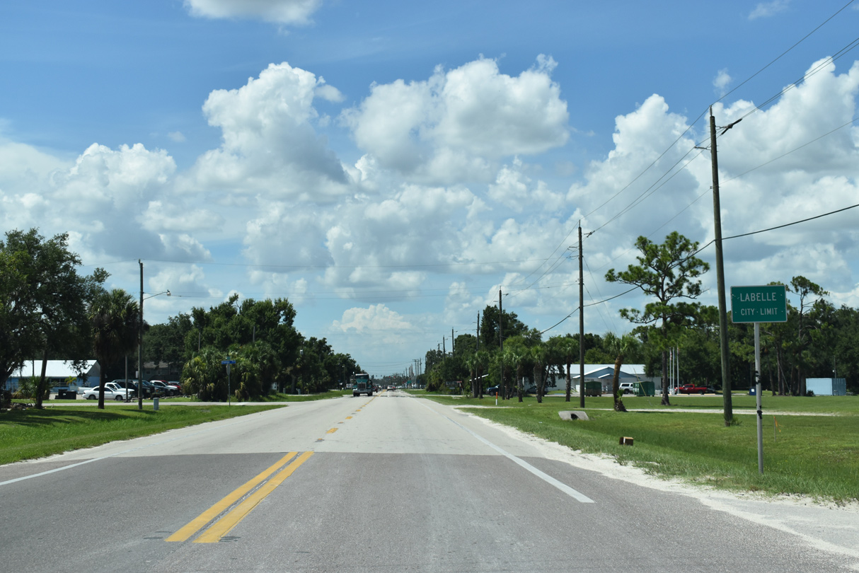
Entering the city of LaBelle, SR 29 follows S Main Street.
07/02/19
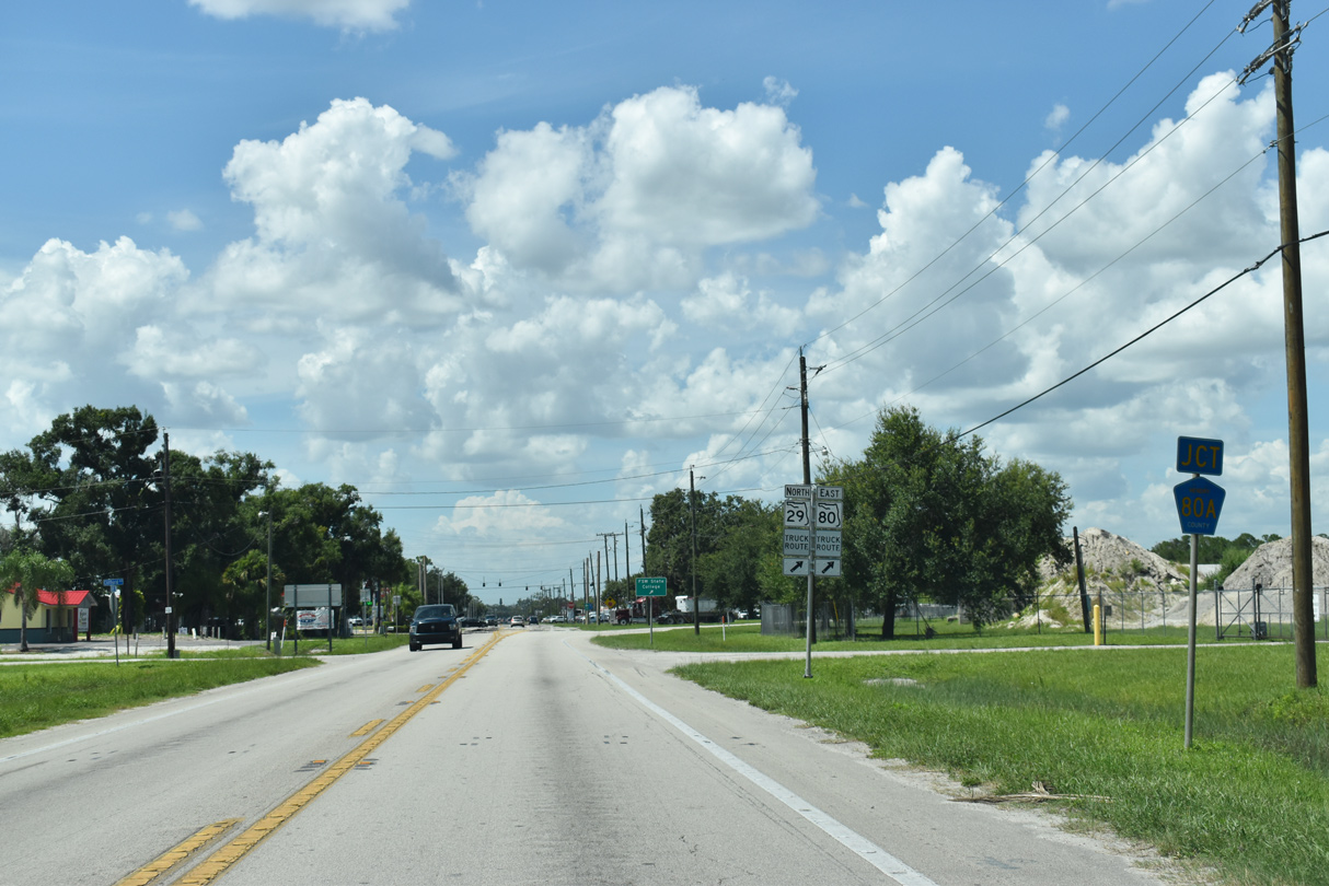
Passing west of LaBelle Municipal Airport (X14), SR 29 (Main Street) approaches County Road 80A (Cowboy Way) and the SR 29 Truck route along Bridge Street.
07/02/19
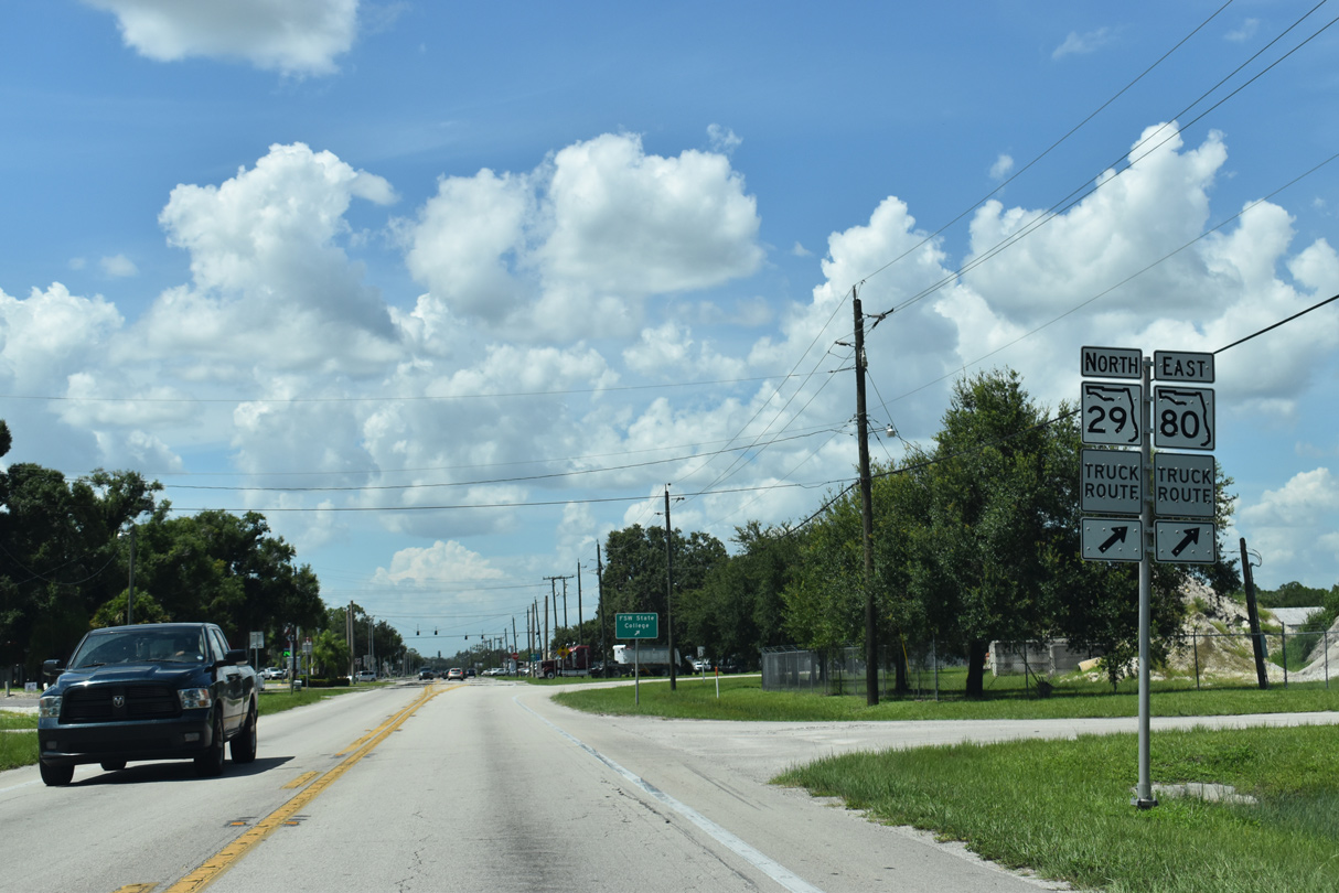
Bridge Street branches east from SR 29 (S Main Street). The SR 29 truck route parallels Main Street one block to the east, meeting SR 80 (Hickpochee Avenue) at its separation with SR 29 north.
07/02/19
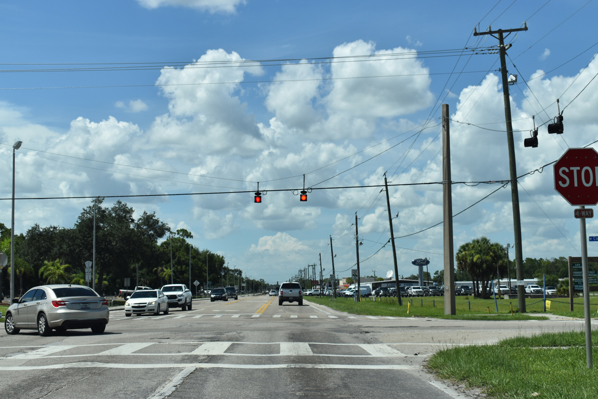
Cowboy Way leads CR 80A west to SR 80 at Fort Denaud Road and east through Port LaBelle to SR 80 at Cowgirl Way.
07/02/19
Main Street expands into a three lane commercial boulevard north from Cowboy Way (CR 80A) to SR 80 at Downtown LaBelle.
07/02/19
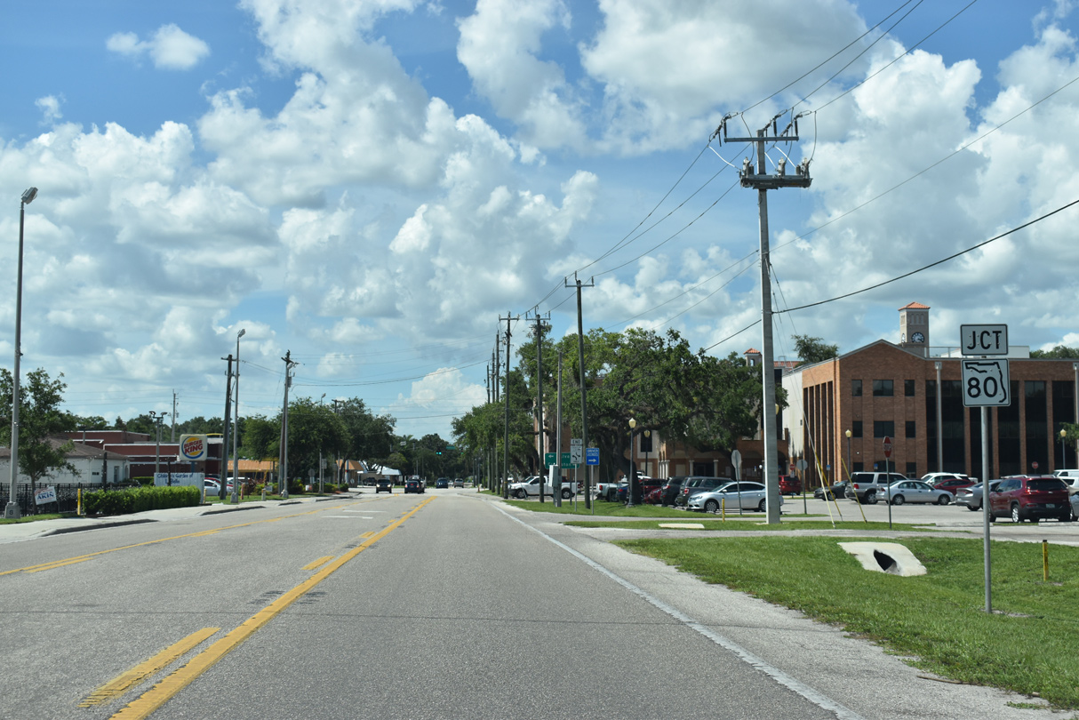
SR 29 proceeds north from Broward Avenue to combine with SR 80 (Hickpochee Avenue) east for one block at Downtown LaBelle.
07/02/19
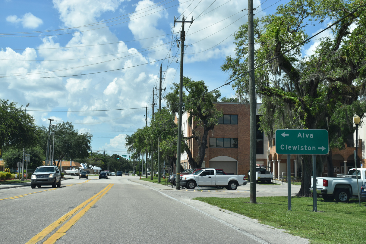
Joining Fort Myers with Palm Beach, State Road 80 comprises a transpeninsular route. More locally, SR 80 leads west to Alva and east to Clewiston alongside U.S. 27.
07/02/19
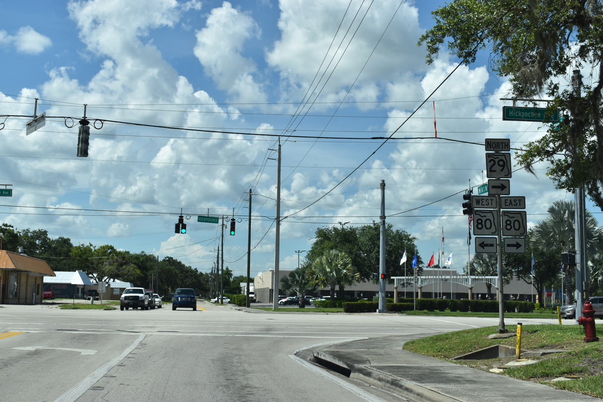
SR 29 dog legs one block east along SR 80. Main Street extends north as unsigned CR 29, 0.53 miles to DeSoto Avenue below the SR 29 bridge spanning the Caloosahatchee River.
07/02/19
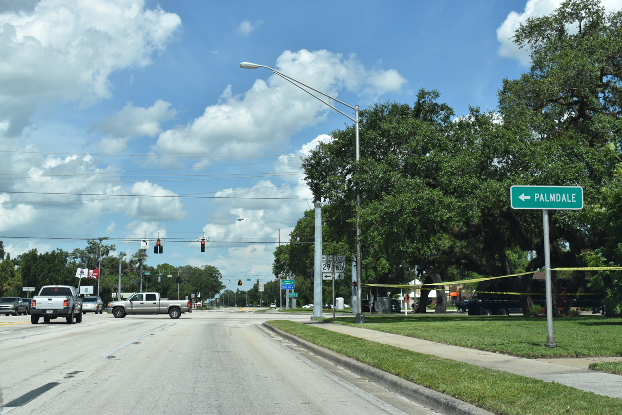
SR 29 joins Bridge Street north from SR 80 along its continuation from LeBelle toward Palmdale.
07/02/19
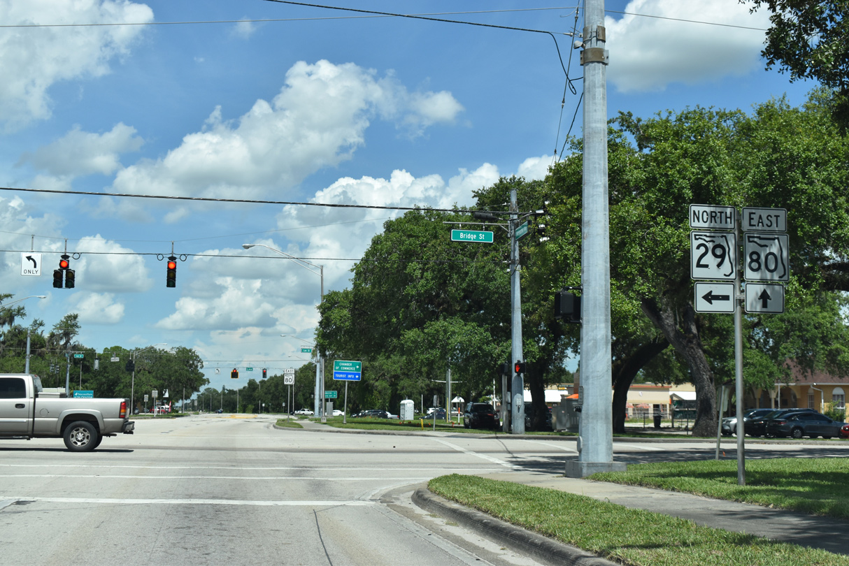
SR 29 north and SR 80 east split beside the Hendry County Courthouse. SR 80 continues 22.5 miles east to U.S. 27 at Whidden Corner.
07/02/19
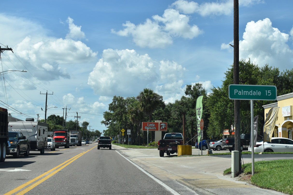
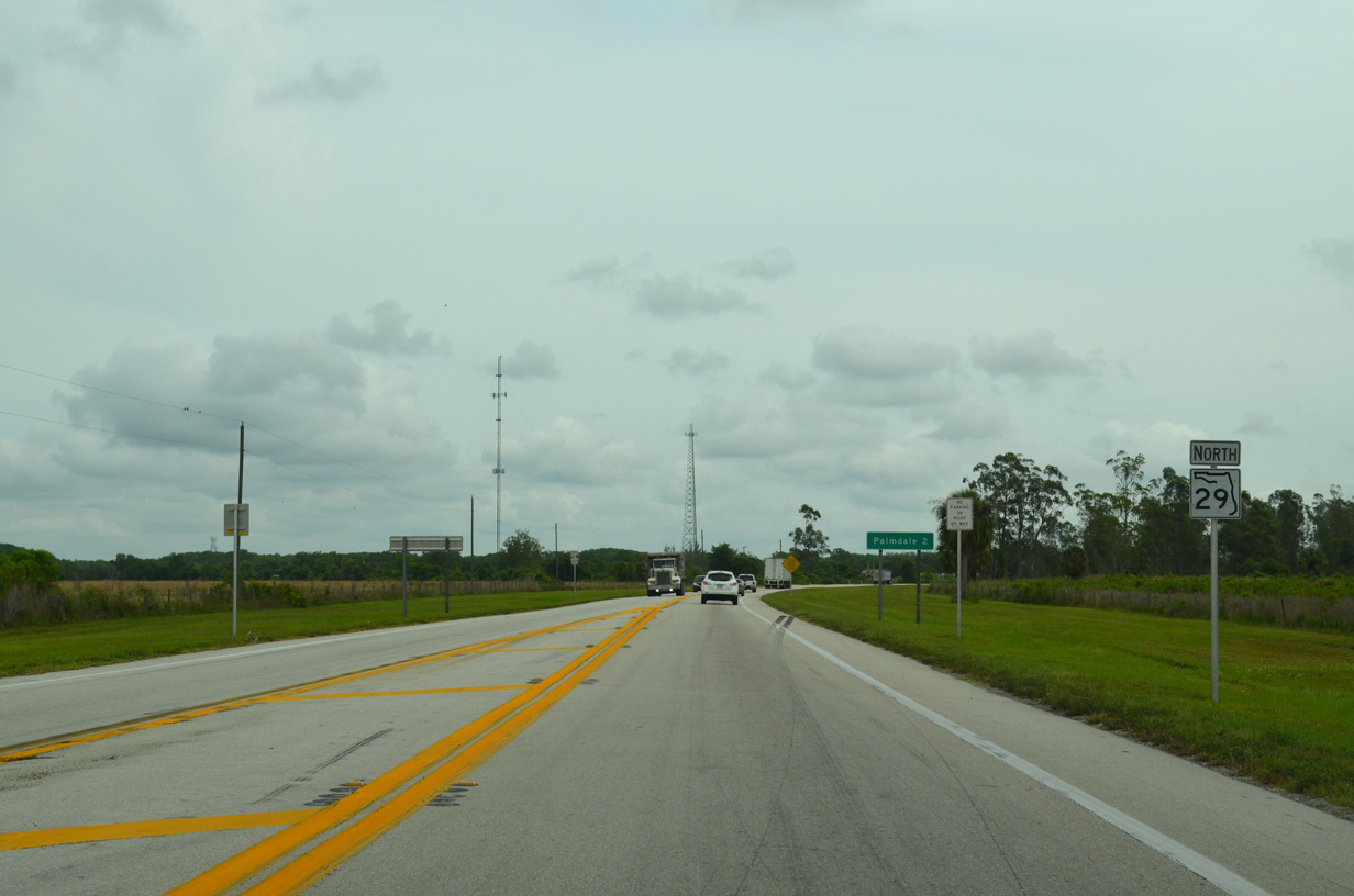
The rural settlement of Palmdale lies 15 miles north of Downtown LaBelle via SR 29 and U.S. 27.
07/02/19
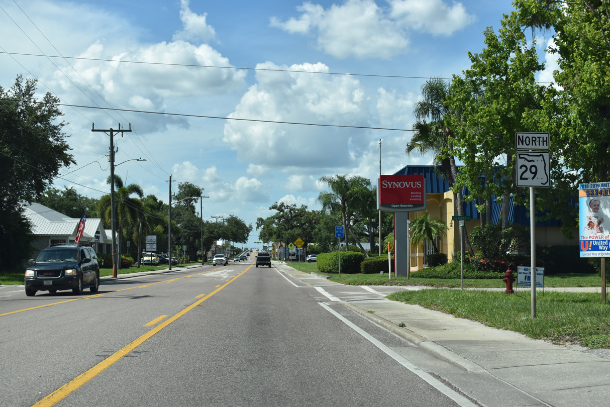
The succeeding confirming marker for State Road 29 stands northbound at Bridge Street and Oklahoma Avenue.
07/02/19
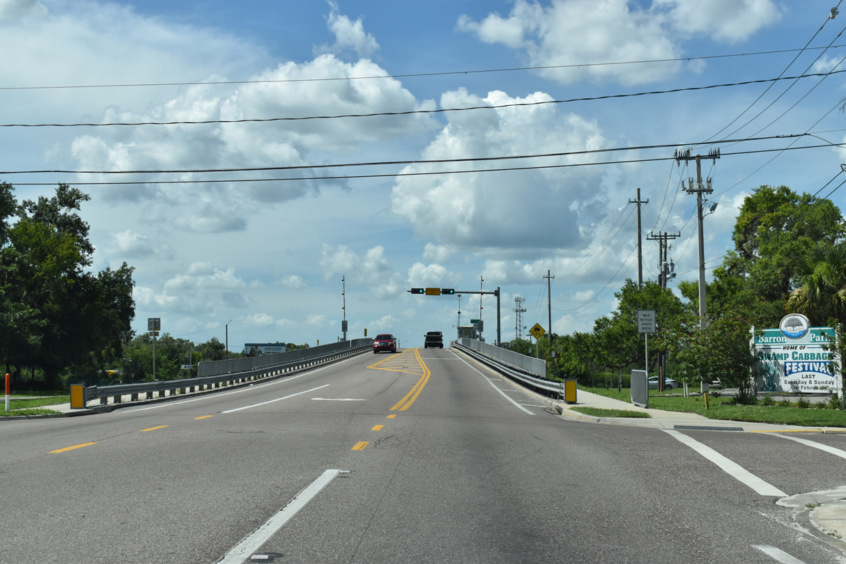
Park Avenue links SR 29 (Bridge Street) with Main Street (CR 29) and Barron Park just ahead of the Caloosahatchee River.
07/02/19
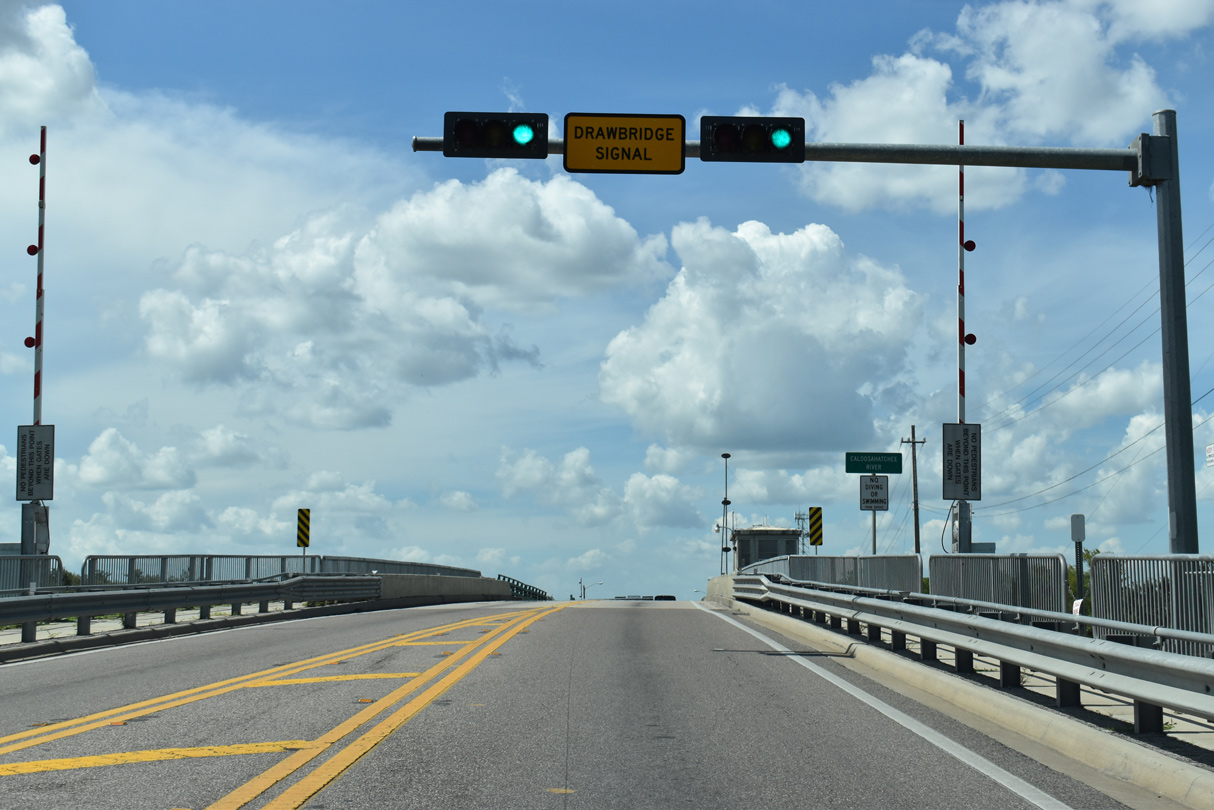
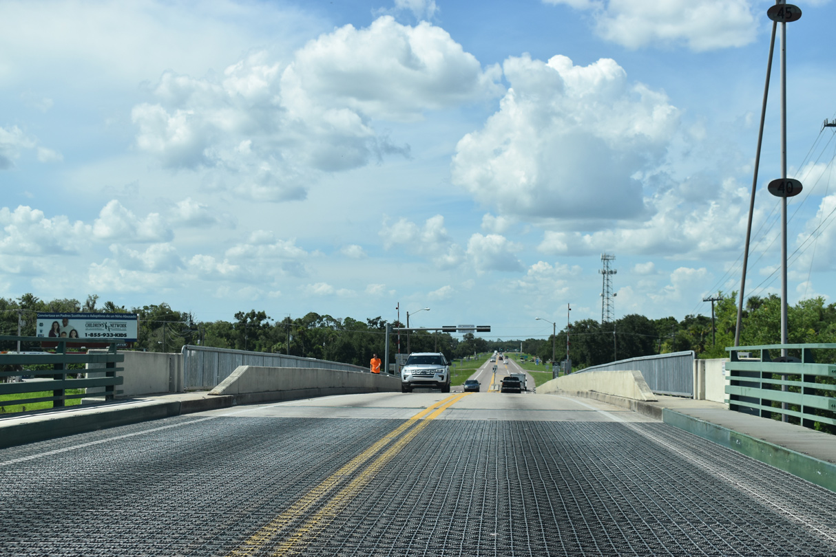
SR 29 spans the Caloosahatchee River on a double leaf bascule bridge dating back to 1959.
07/02/19
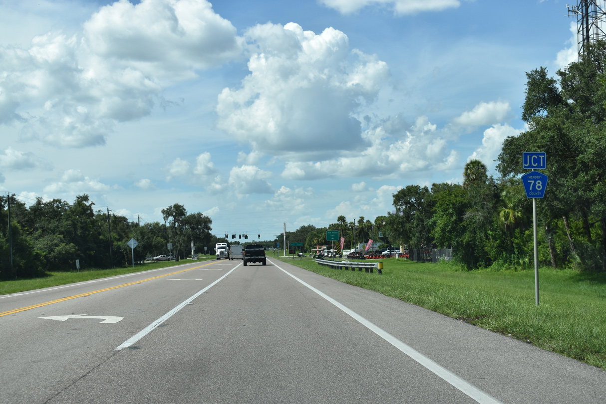
County Road 78 winds northward from Bob Mason Park and the Caloosahatchee River to meet SR 29 (Bridge Street).
07/02/19
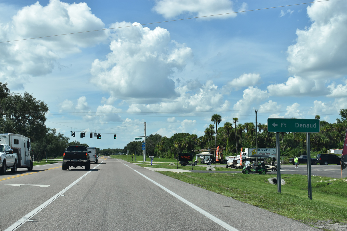
Fort Denaud lines the south side of the Caloosahatchee River. The community is accessible via CR 78 west to CR 78A south across the Fort Denaud Swing Bridge.
07/02/19
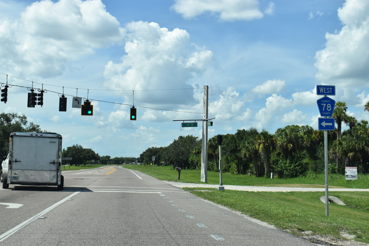
County Road 78 navigates along a stair stepped route 24.2 miles from SR 29 at LaBelle to SR 31 north of Fort Myers Shores. SR 78 extends west from SR 31 nearby to North Fort Myers.
07/02/19
A handful of residential streets tie into the west side of SR 29 as the state road departs LaBelle from CR 78.
07/02/19
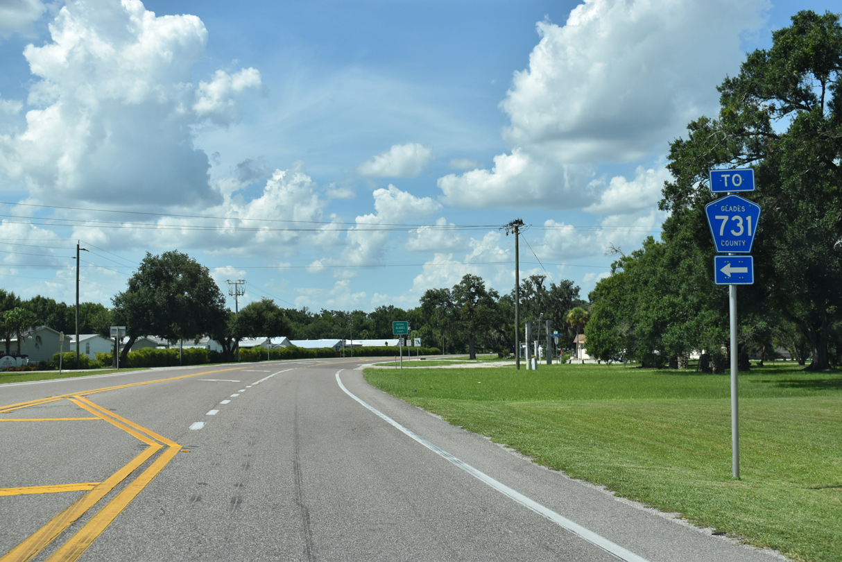
Whidden Road runs along the Hendry / Glades County line three blocks west to Fire Tower Road, which leads CR 731 north to CR 720 (Walter Greer Road) west and CR 74.
07/02/19
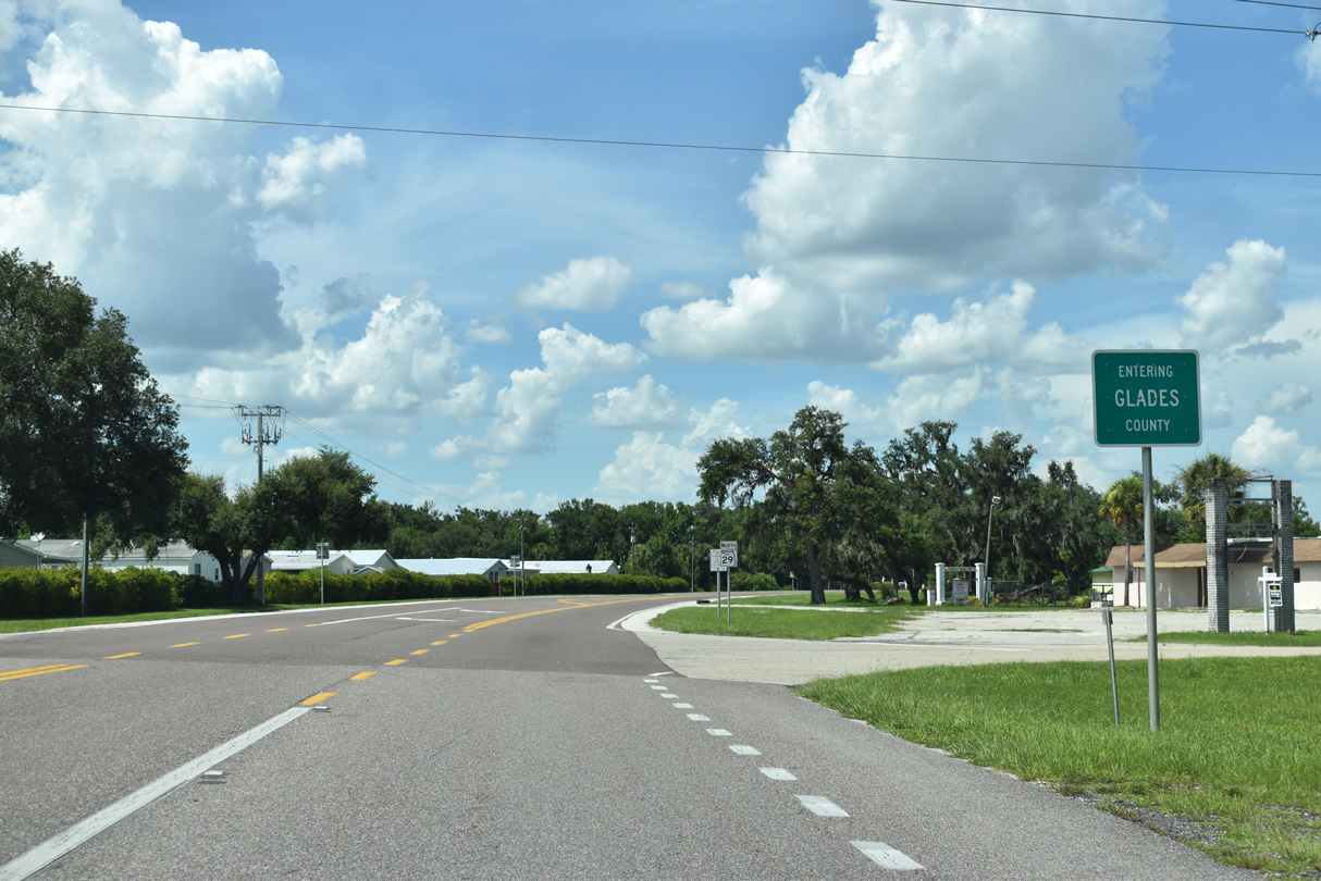
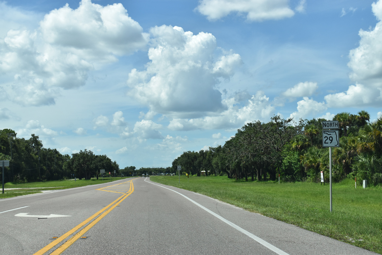
Curving eastward at Whidden Road (CR 731), SR 29 enters Glades County.
07/02/19
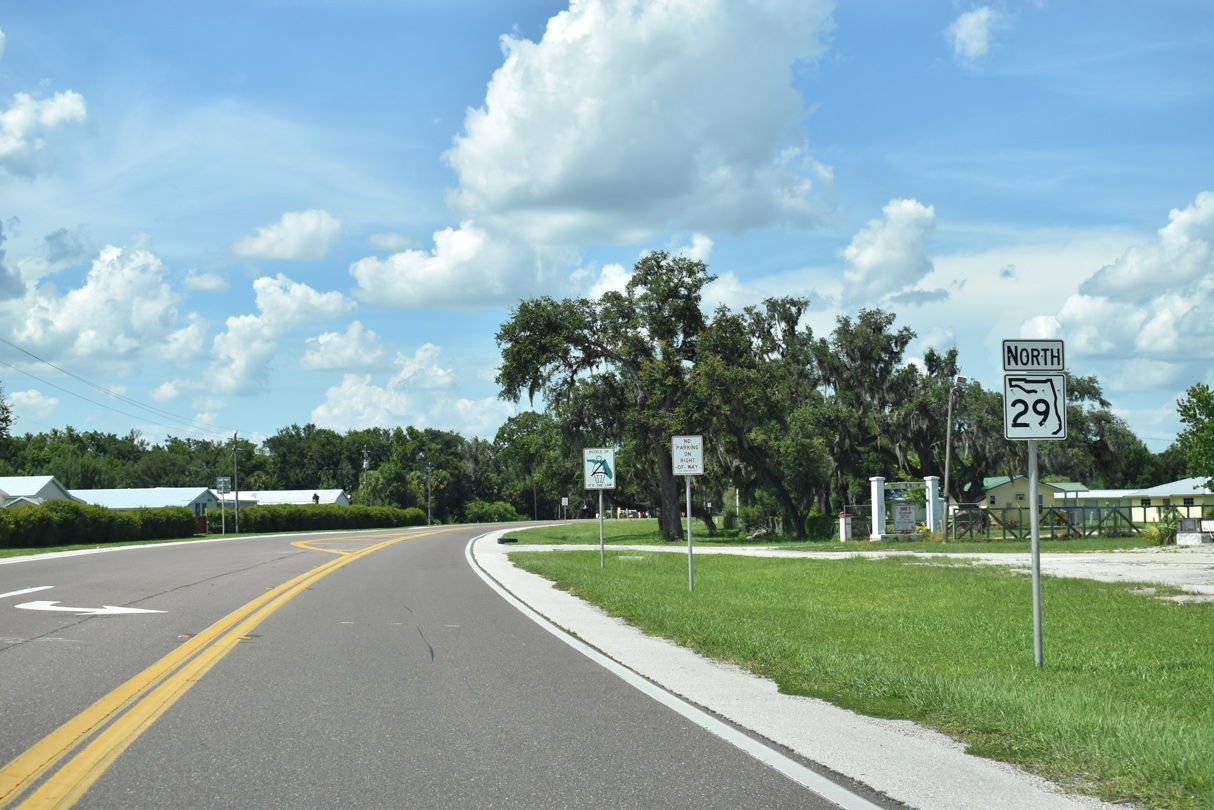
A manufactured home community and RV park line the west side of State Road 29 along the initial stretch of the 12.44 miles in Glades County.
07/02/19
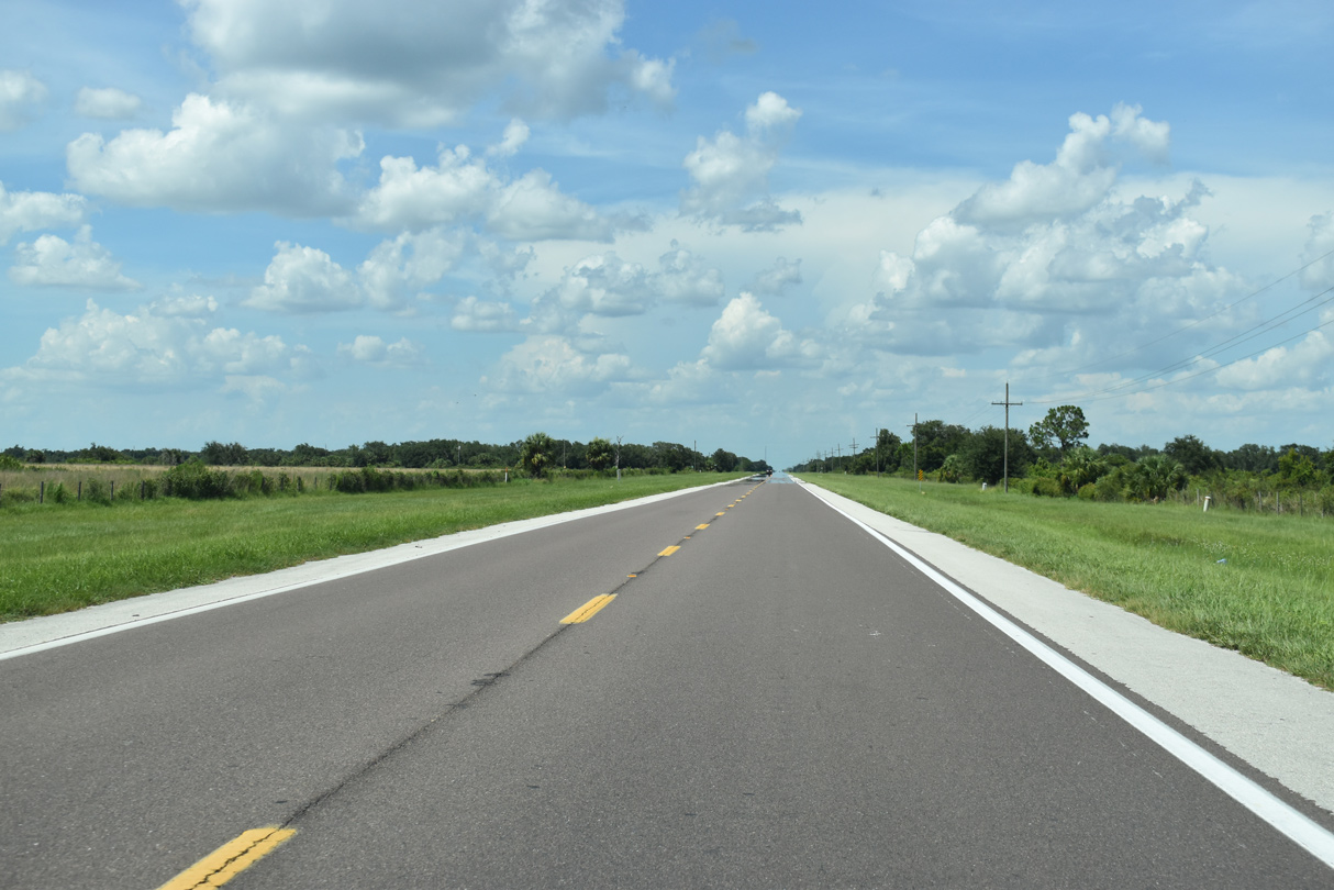
SR 29 bee lines northeast across ranchland and agricultural areas ahead of SR 78.
07/02/19
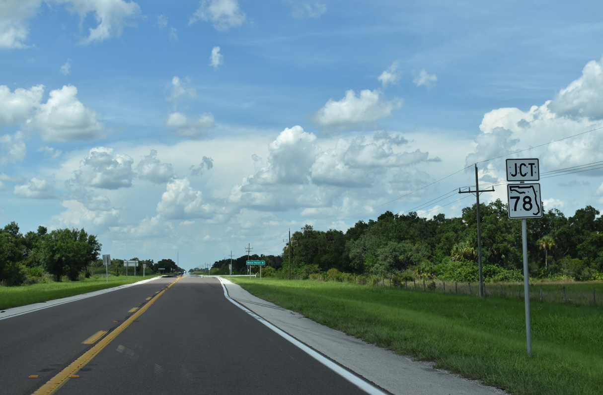
The eastern branch of State Road 78 runs 14.86 miles from SR 29 to U.S. 27 across southern Glades County.
07/02/19
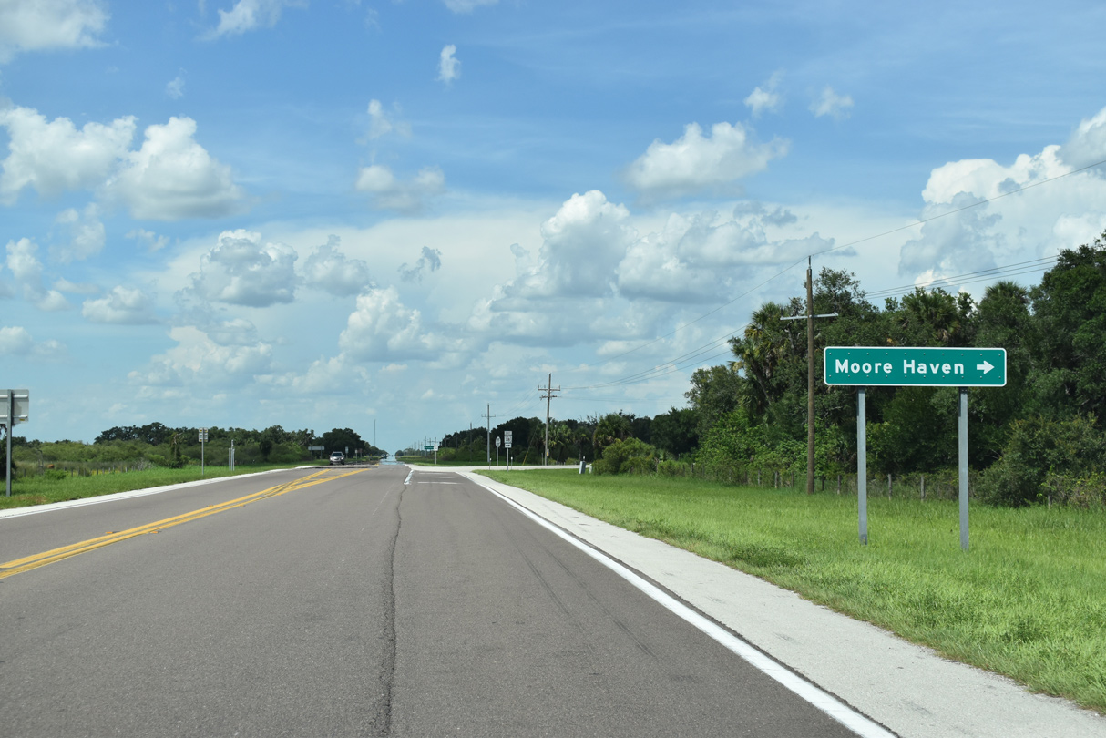
Located 20 miles to the east, SR 78 to U.S. 27 leads directly to the county seat of Moore Haven.
07/02/19
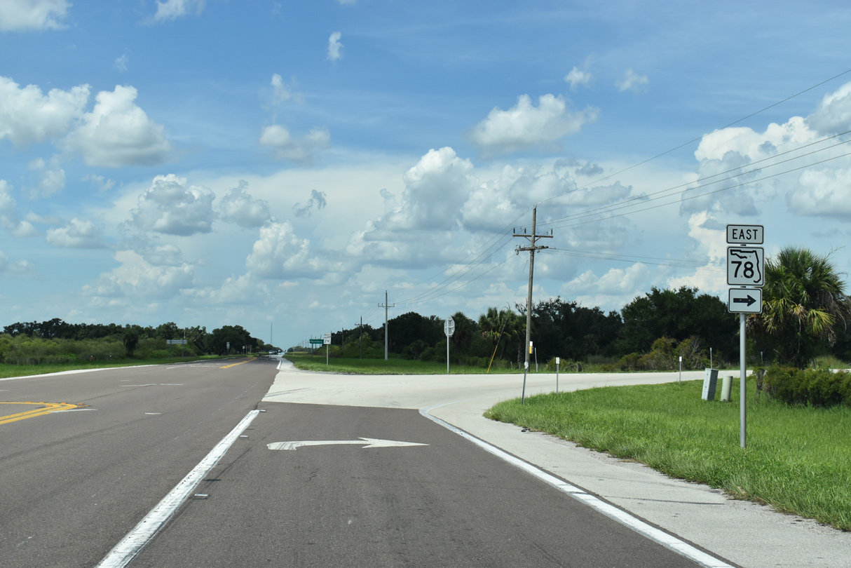
Both traversing rural areas, SR 29 remains northeast toward Hall City and U.S. 27 near Palmdale while SR 78 ventures east to Ortona and Citrus Center.
07/02/19
SR 29 converges with the east end of CR 74 in a remote area north of Halls City and south of Fisheating Creek.
04/15/16
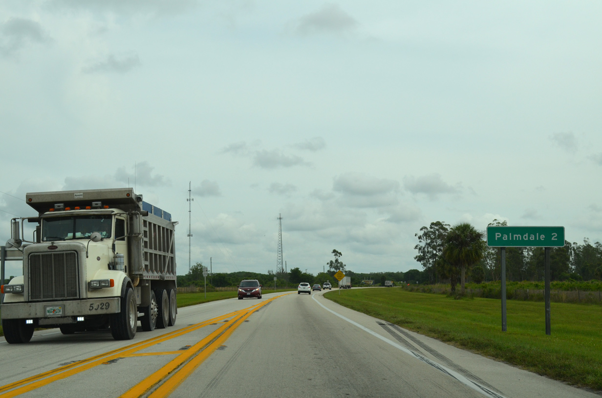
The unincorporated community of Palmdale lies 1.25 miles north of the impending junction with U.S. 27.
04/15/16
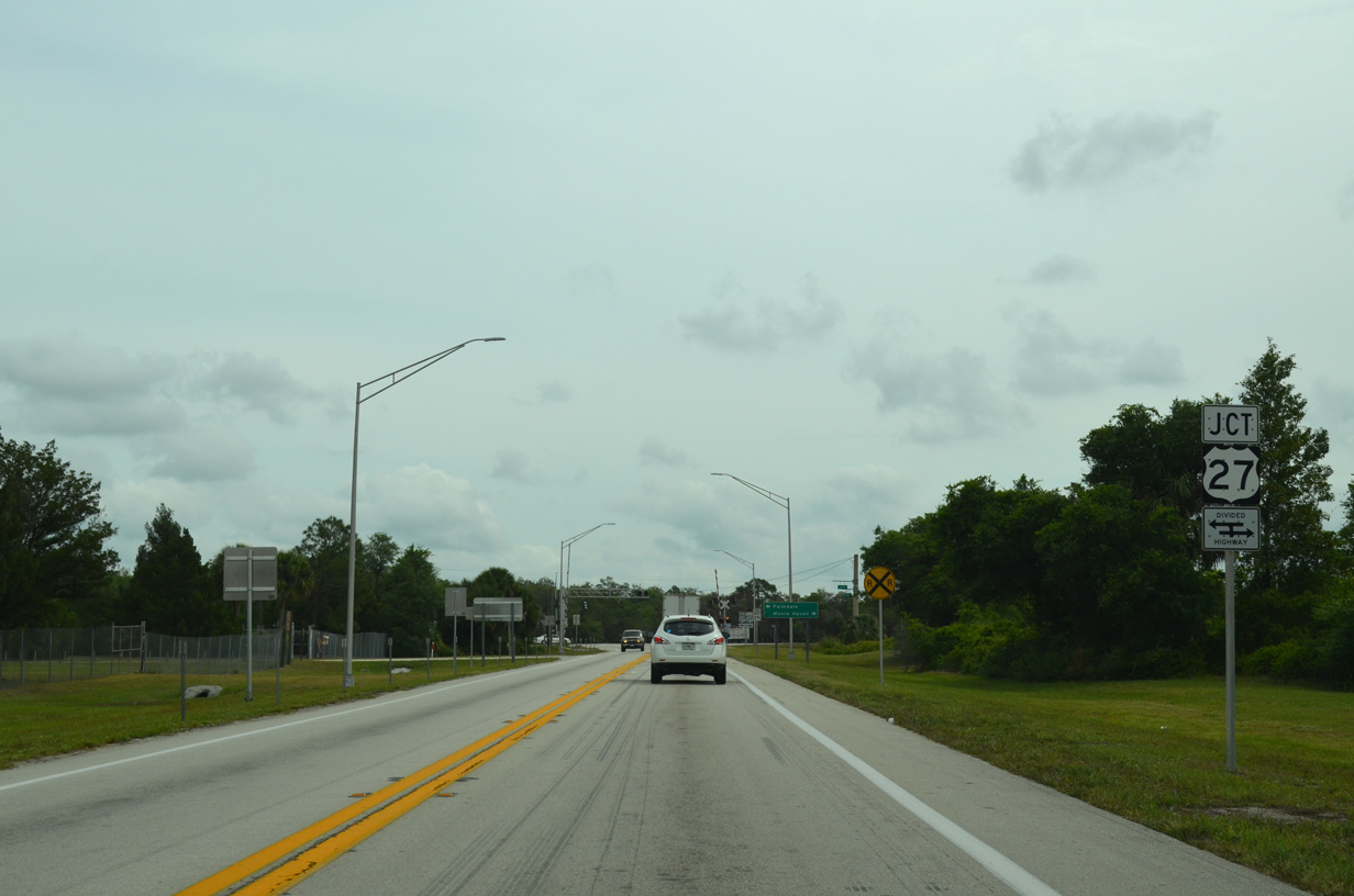
Bending eastward, SR 29 passes by an abandoned Seaboard Coast Line railroad ahead of U.S. 27.
04/15/16
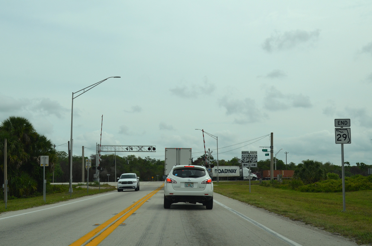
And end shield for State Road 29 precedes the at-grade crossing with the South Central Florida Railroad and U.S. 27.
04/15/16
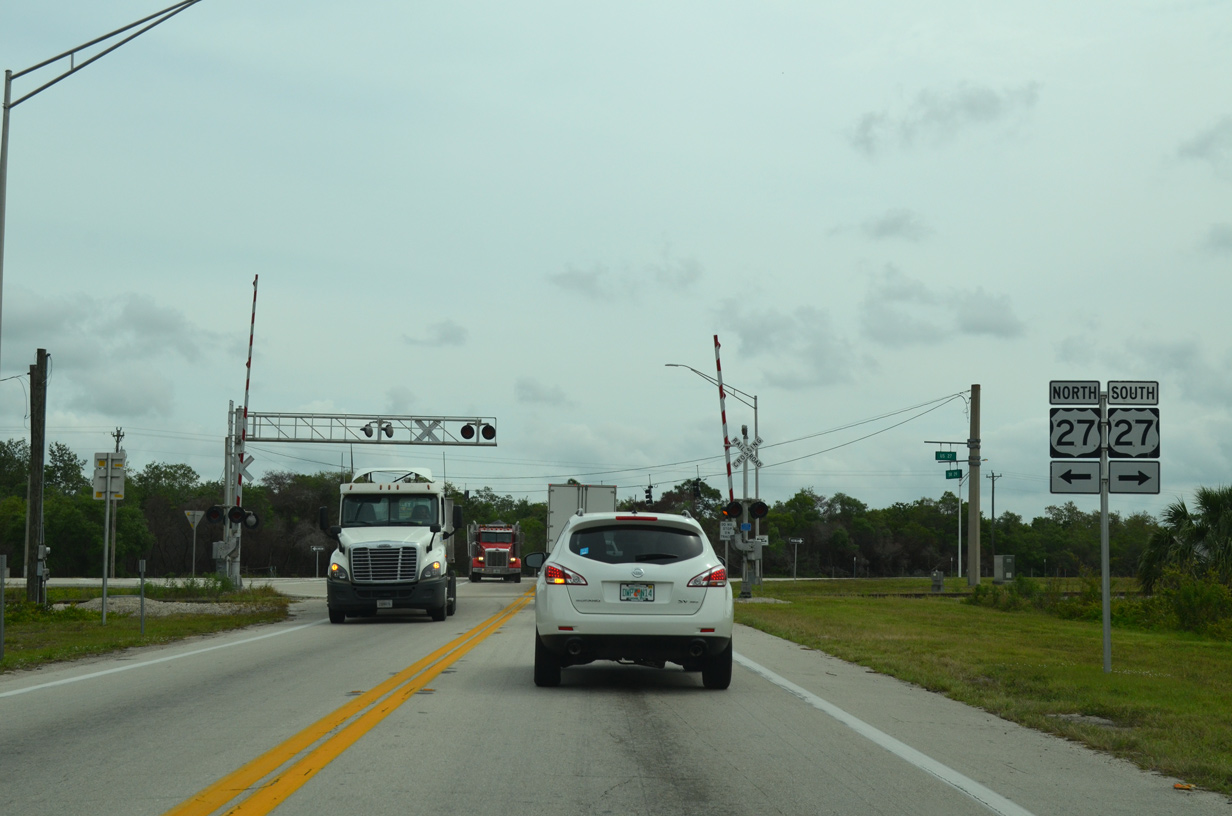
A four lane divided highway, U.S. 27 travels southeast from SR 29 to Moore Haven and Clewiston and north to Lake Placid.
04/15/16
References:
- "Notice of Opening of Helms Road Extension." https://www.southcentralfloridalife.com/stories/ notice-of-opening-of-helms-road-extension,8594 South Central Florida Life, June 30, 2020.
Photo Credits:
- Andy Field: 12/31/03
- ABRoads: 11/26/16, 11/29/19
- Alex Nitzman, JP Nasiatka: 07/02/19
- Brent Ivy: 04/15/16
Connect with:
Page Updated Tuesday December 03, 2019.