
State Road 29 South - Glades & Hendry Counties

 South
South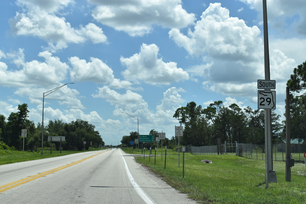
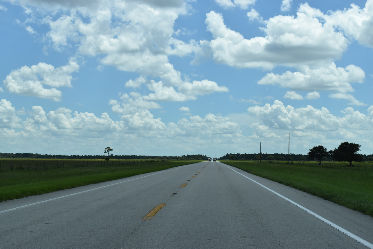
State Road 29 begins from U.S. 27 in a rural area south of Palmdale and Fisheating Creek.
07/02/19
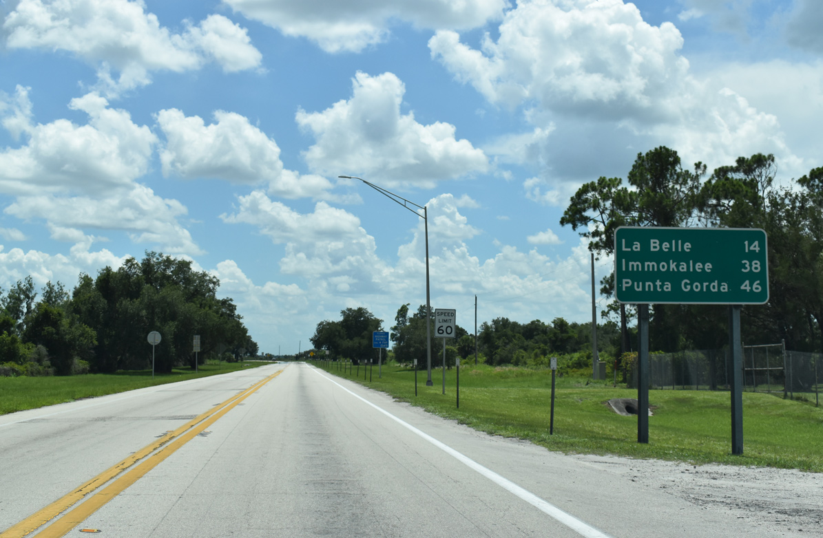
SR 29 travels 14 miles south from U.S. 27 to La Belle. CR 74 branches west from the state road nearby to connect U.S. 27 with U.S. 17 near Punta Gorda.
07/02/19
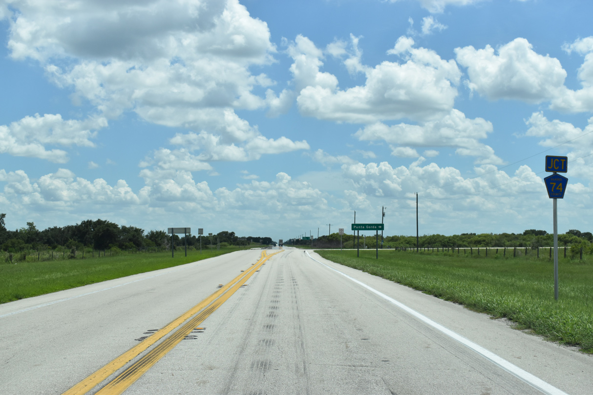
County Road 74 follows a linear route west across Glades and Charlotte Counties to U.S. 17 between Cleveland and Solana.
07/02/19
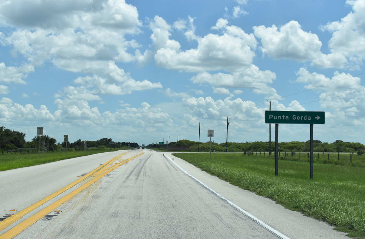
Traversing areas of open ranchland and wetlands, County Road 74 heads 27.4 miles to SR 31 at Bermont and 42.2 miles to U.S. 17 outside Punta Gorda.
07/02/19

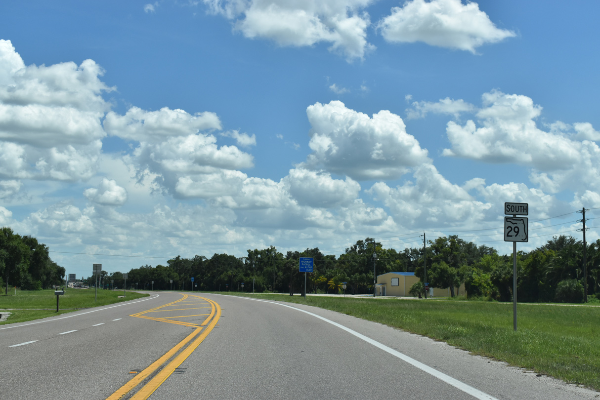
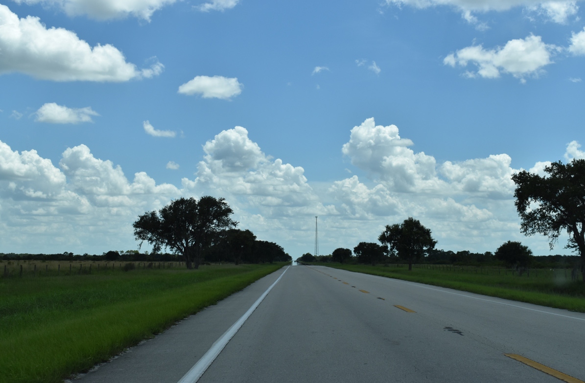
State Road 29 bee lines southwest across open ranch and pastureland through Glades County.
07/02/19
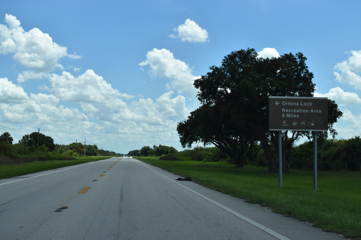
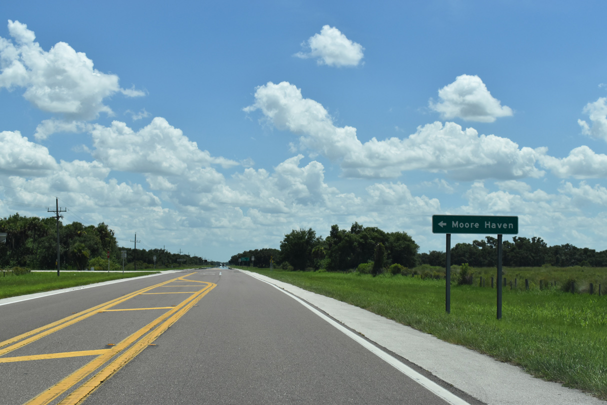
Forthcoming SR 78 leads 5.9 miles east to Ortona Road, which spurs south to Ortona Lock Recreation Area.
07/02/19
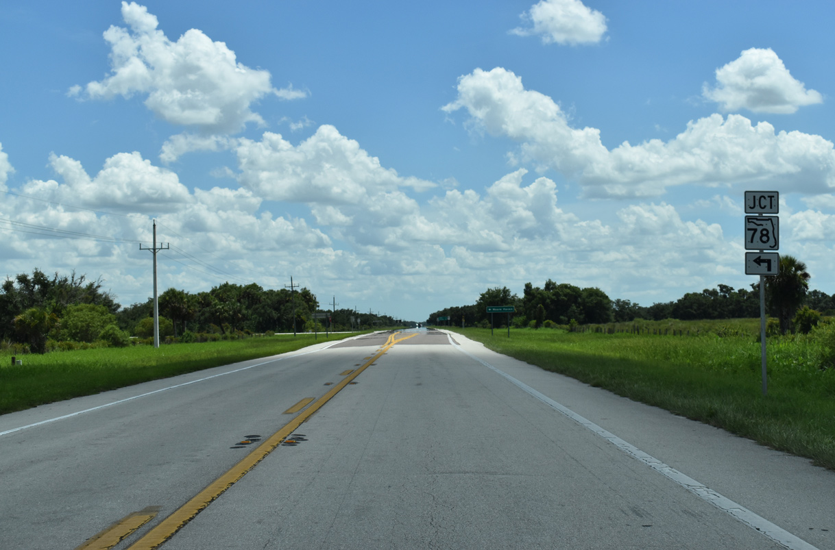
The eastern branch of SR 78 travels 14.86 miles from SR 29 to U.S. 27 near Moore Haven.
07/02/19
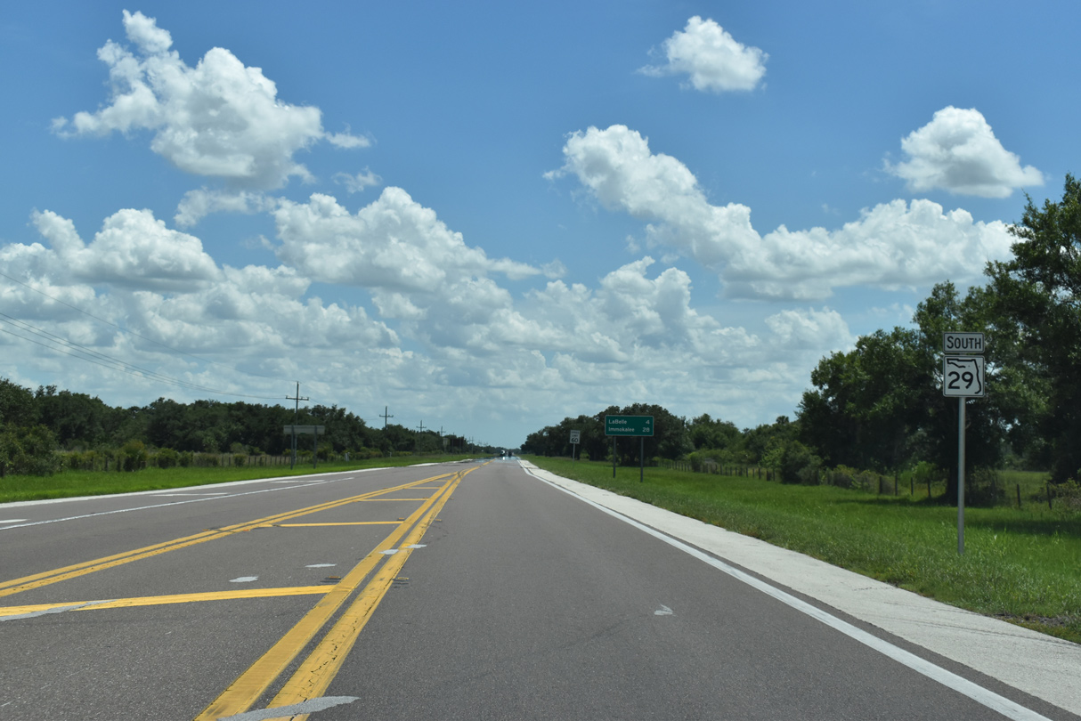
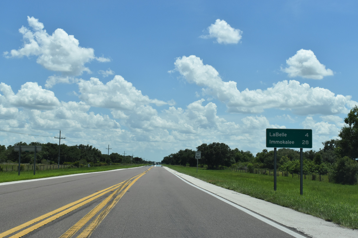
South from SR 78, SR 29 proceeds four miles to LaBelle.
07/02/19
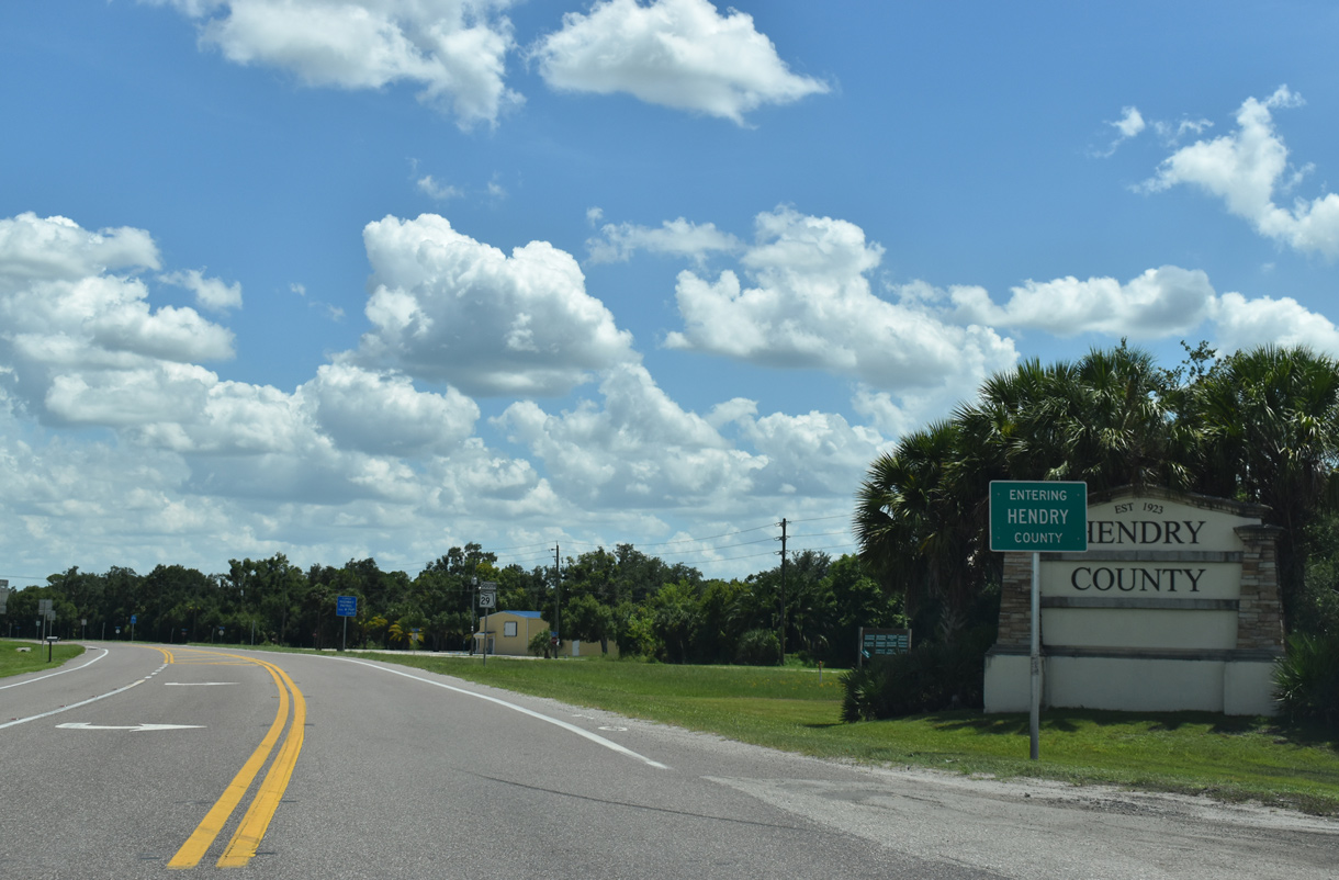
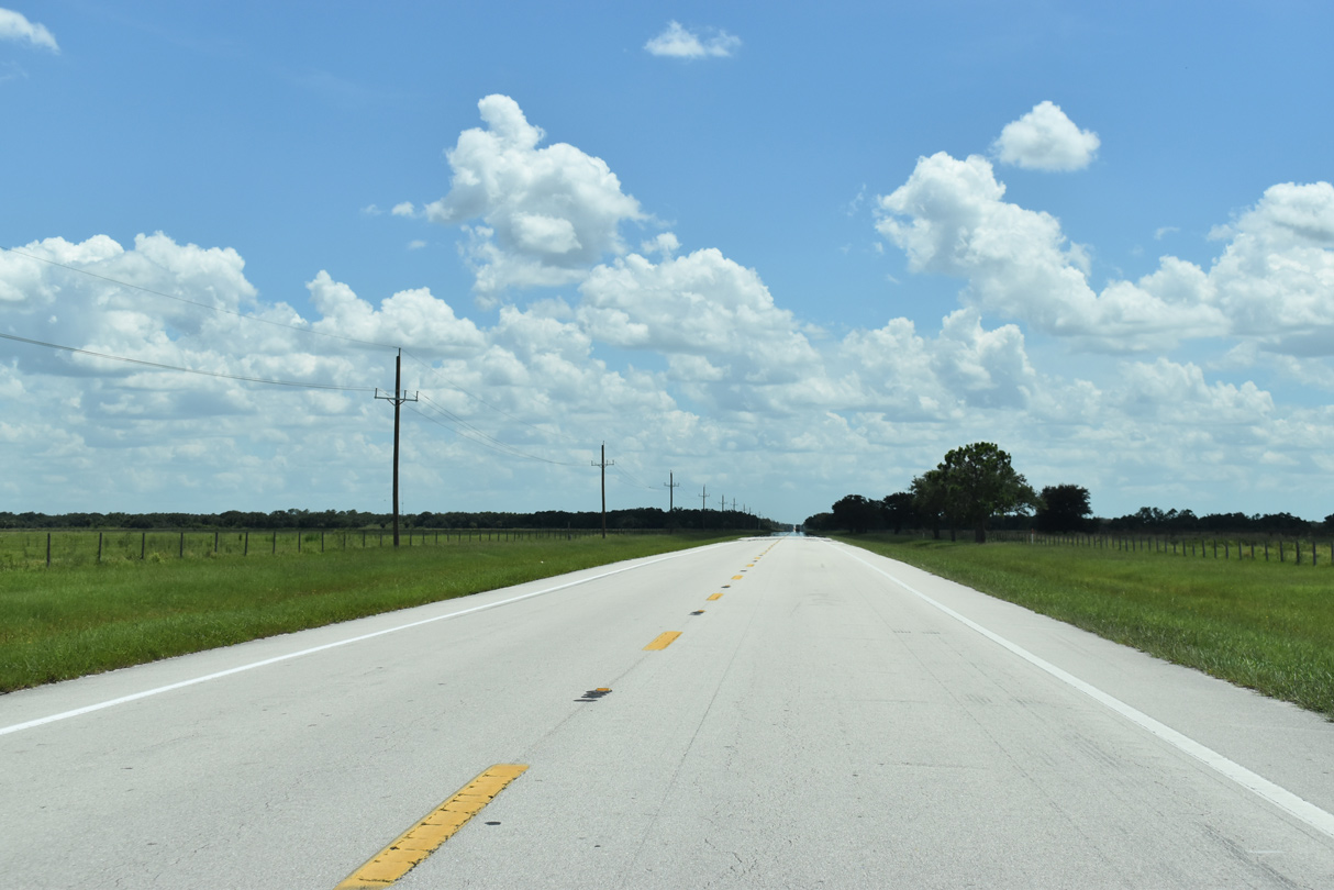
SR 29 enters northern Hendry County, 12.44 miles southwest of U.S. 27.
07/02/19
Whidden Road (CR 731) intersects SR 29 along the Hendry County line, just ahead of this reassurance marker.
07/02/19
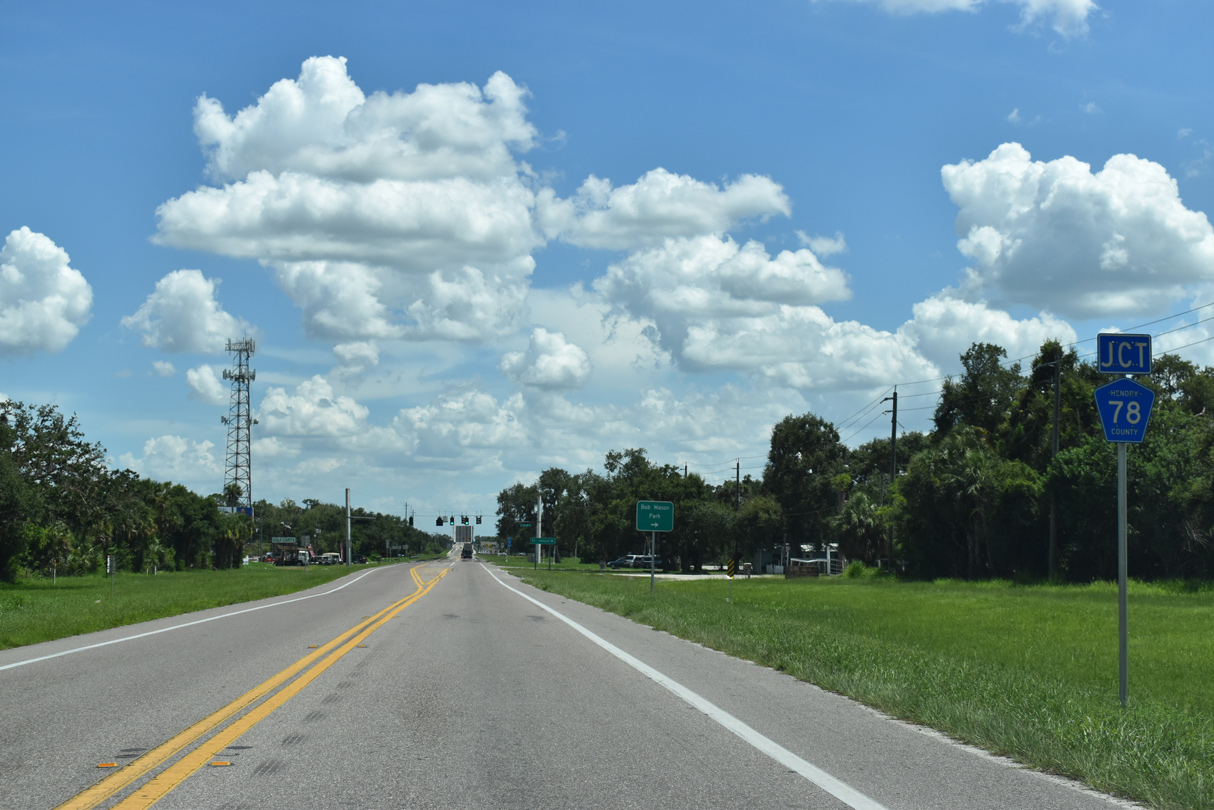
Turning southward toward LaBelle, SR 29 next meets County Road 78 west to Bob Mason Park and Alva.
07/02/19
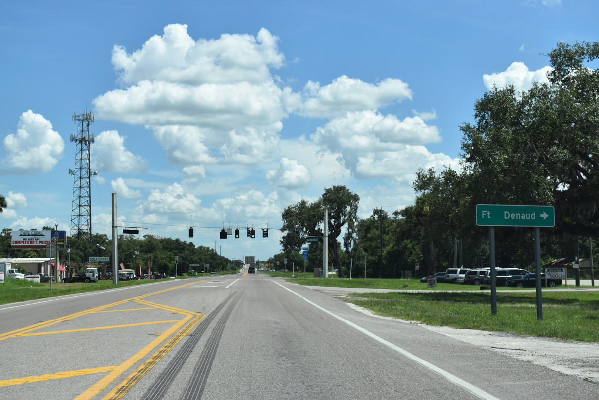
CR 78 west to Ft. Denaud Bridge Way (CR 78A) leads motorists south across the Caloosahatchee River toward the community of Fort Denaud.
07/02/19
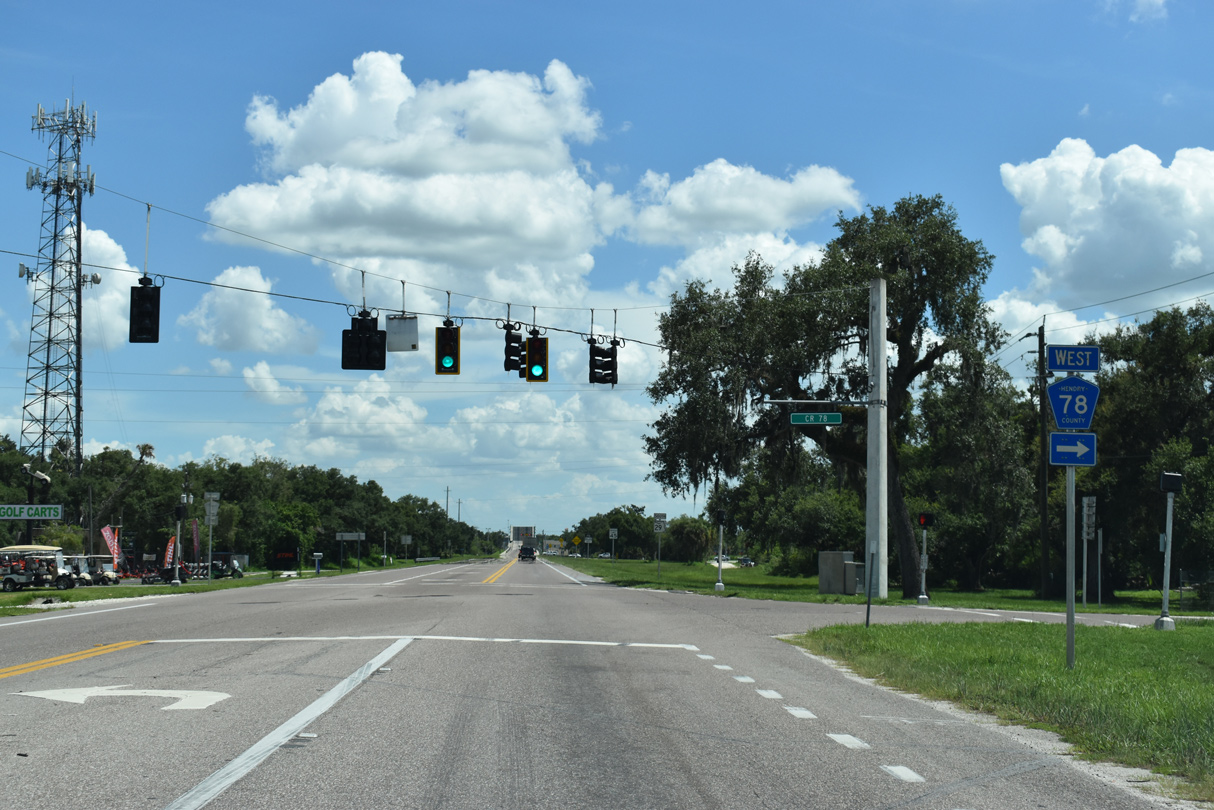
County Road 78 parallels the Caloosahatchee River 24.2 miles west to SR 31 near Fort Myers Shores. SR 78 extends west from SR 31 to North Fort Myers and Cape Coral.
07/02/19
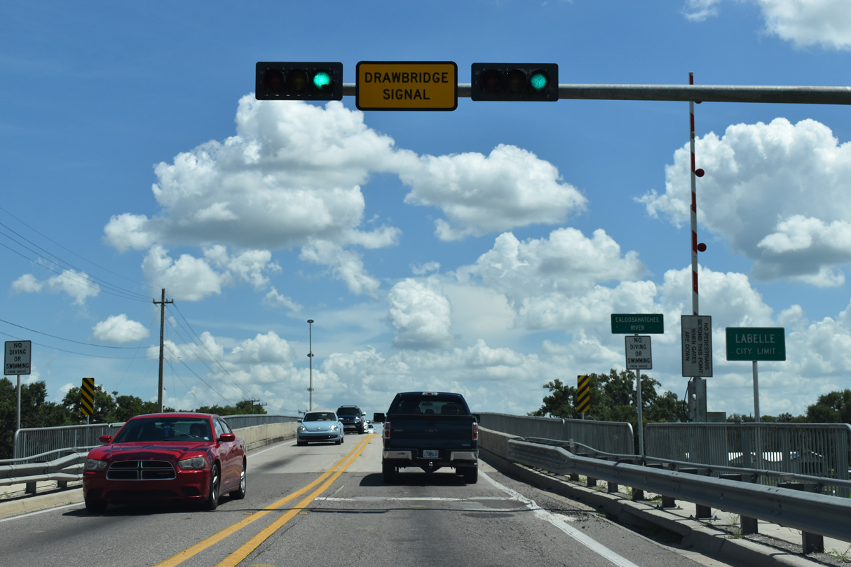
Spanning the Caloosahatchee River, SR 29 enters the city of LaBelle.
07/02/19
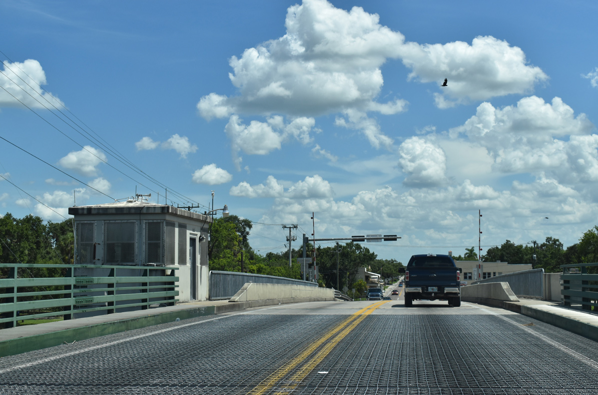
Crossing the double leaf bascule bridge over the Caloosahatchee River, SR 29 lowers onto Bridge Street ahead of Downtown LaBelle.
07/02/19

Park Avenue intersects SR 29 (Bridge Street) one block east of Main Street (unsigned CR 29) and one block south of Barron Park.
07/02/19
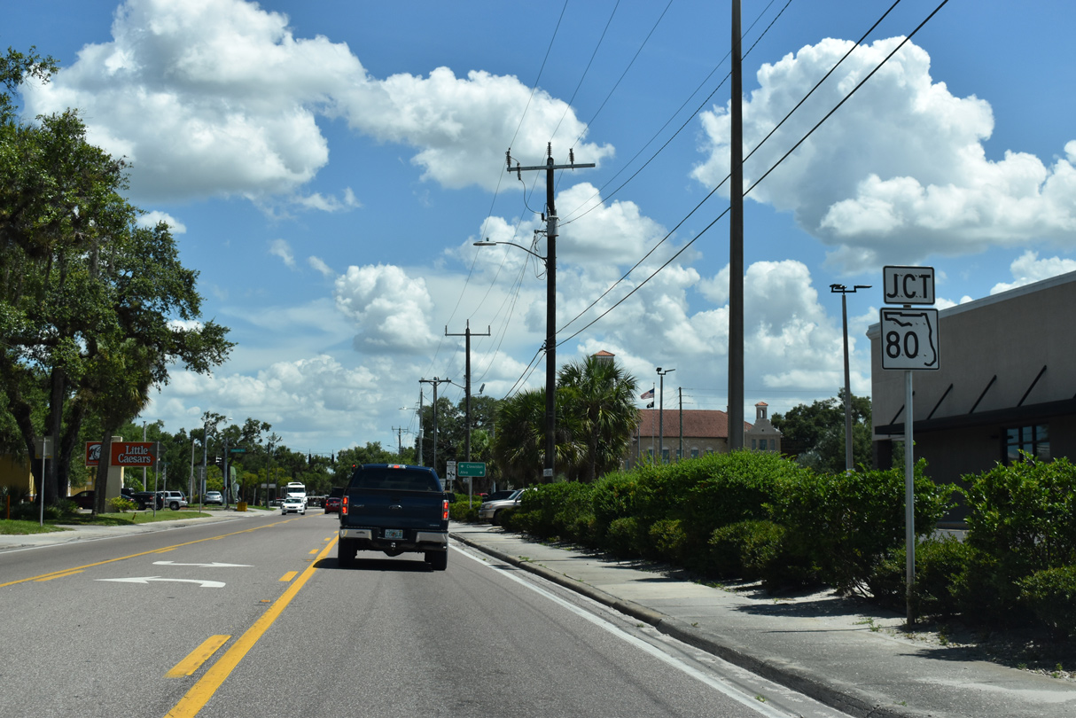
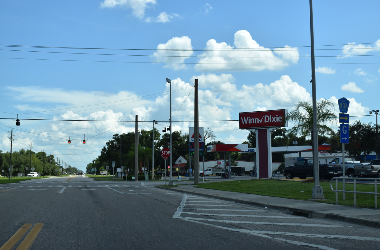
SR 29 continues five blocks south from Park Avenue to SR 80 (Hickpochee Avenue) in LaBelle.
07/02/19
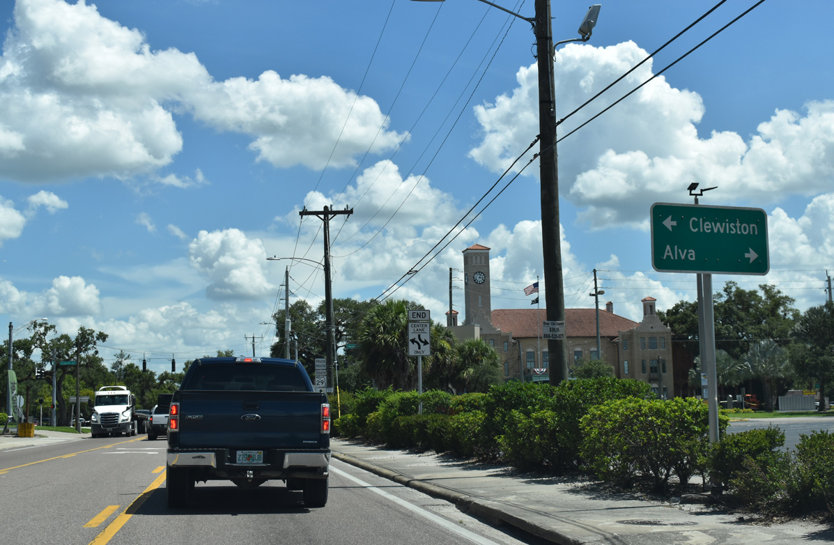
State Road 80 crosses the Florida Peninsula west to Fort Myers via Alva and east to Palm Beach via Clewiston.
07/02/19
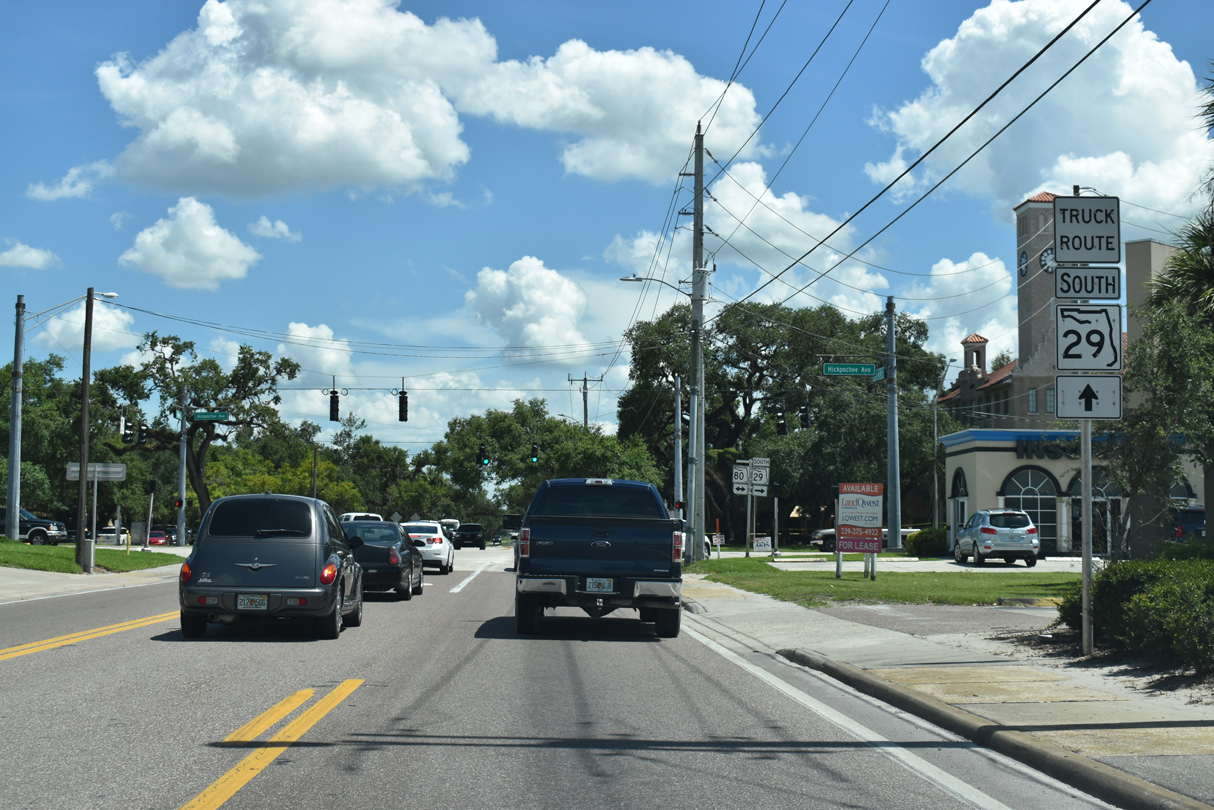
SR 29 dog legs one block west to Main Street while a posted truck route extends south along Bridge Street through Downtown LaBelle.
07/02/19

State Road 80 constitutes a multi lane arterial across the city of LaBelle and the adjacent Port LaBelle community. SR 29 overlaps with SR 80 for one block.
07/02/19
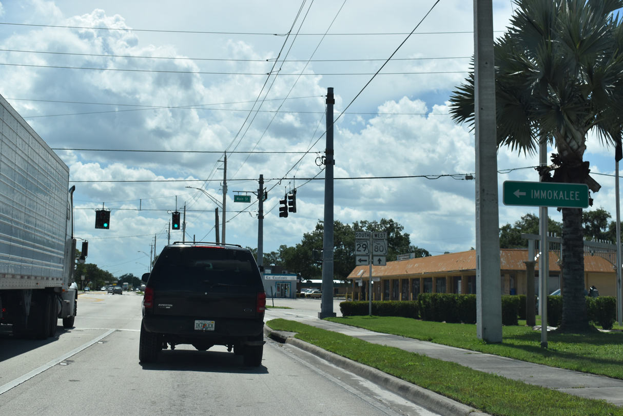
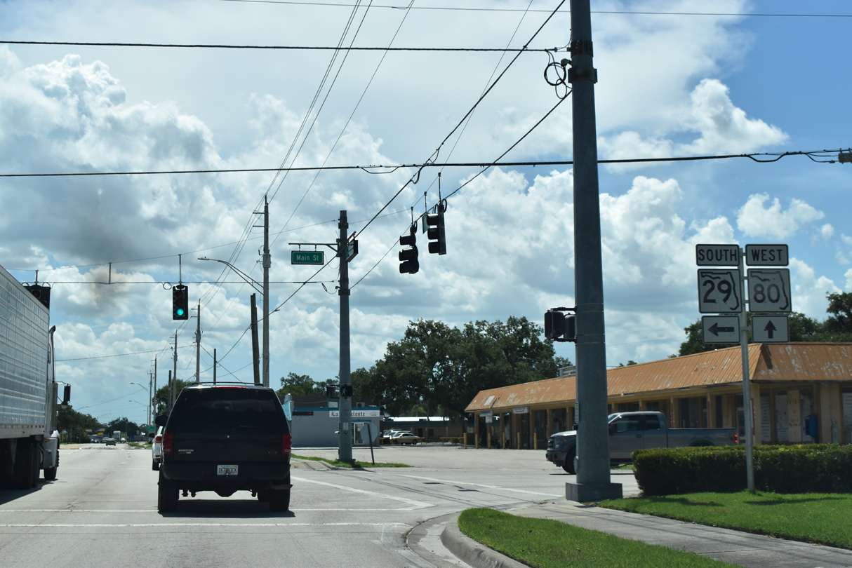
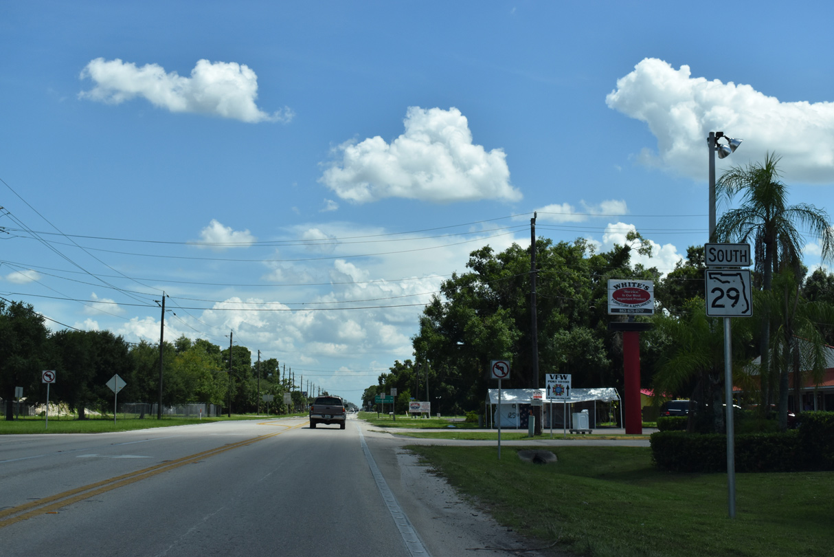
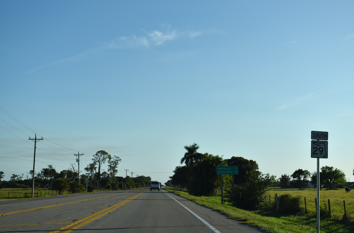
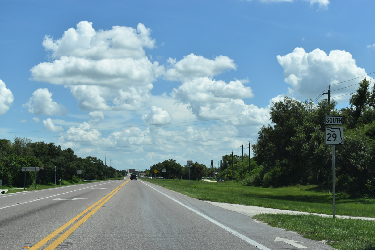
SR 29 resumes a southward course to Immokalee via Main Street from SR 80 (Hickpochee Avenue).
07/02/19
Heading west from LaBelle, SR 80 meets CR 884 south into Lehigh Acres in 11.5 miles and Interstate 75 outside Fort Myers in 24 miles.
07/02/19

Main Street comprises a three lane commercial boulevard taking SR 29 south from SR 80 to Cowboy Way (CR 80A).
11/26/16
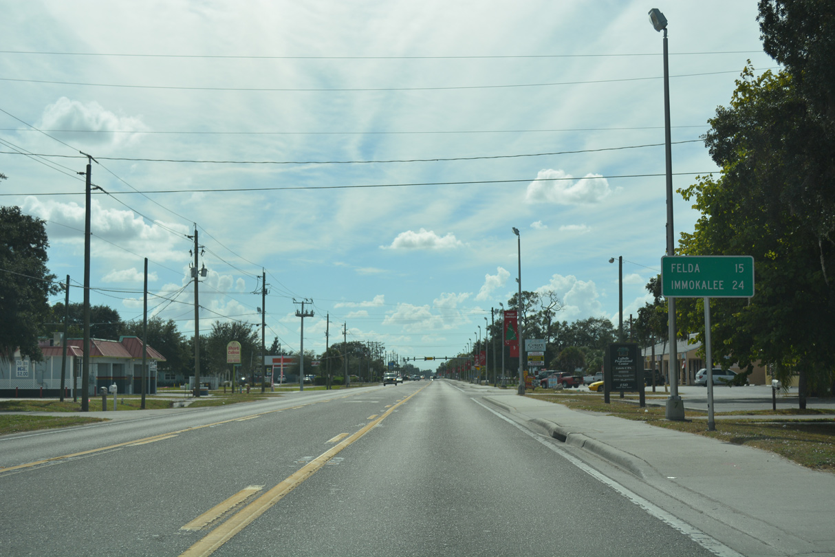
Located 15 miles ahead, the rural community of Felda is the next destination along SR 29 south from LaBelle.
11/26/16
Cowboy Way doubles as CR 80A west to SR 80 near Fort Denaud and east through Port LaBelle to SR 80 at Cowgirl Way.
07/02/19
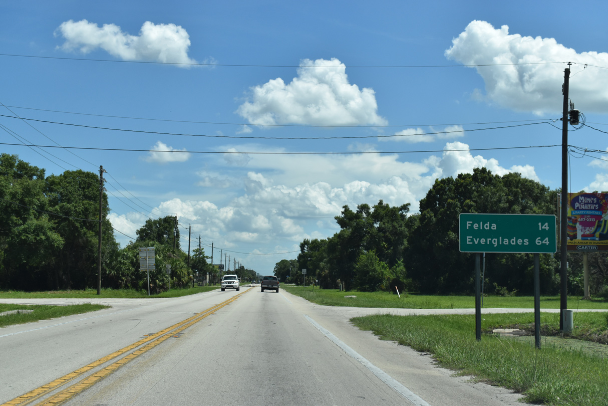
Everglades City replaces Immokalee on the distance sign posted for SR 29 south of CR 80A (Cowboy Way).
07/02/19
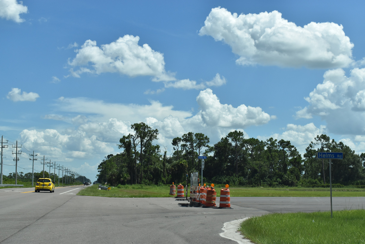
Helms Road intersects SR 29 west from Port LaBelle. An extension of the roadway west to SR 80 was constructed from 2017 to 2019.
07/02/19
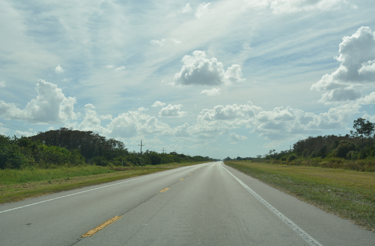
Progressing south from LaBelle toward Felda on SR 29.
11/26/16
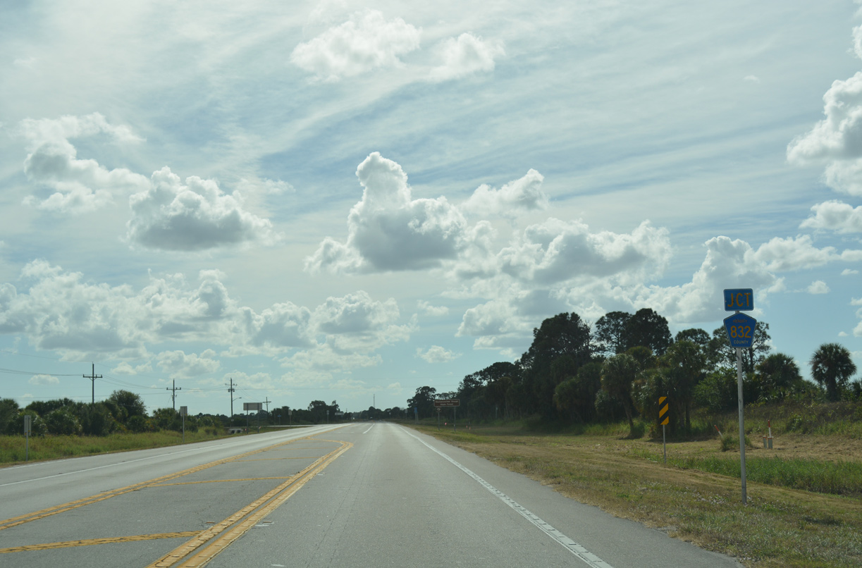
SR 29 runs alongside Spirit of the Wild Wildlife Management Area to the west end of CR 832 (Keri Road).
11/26/16
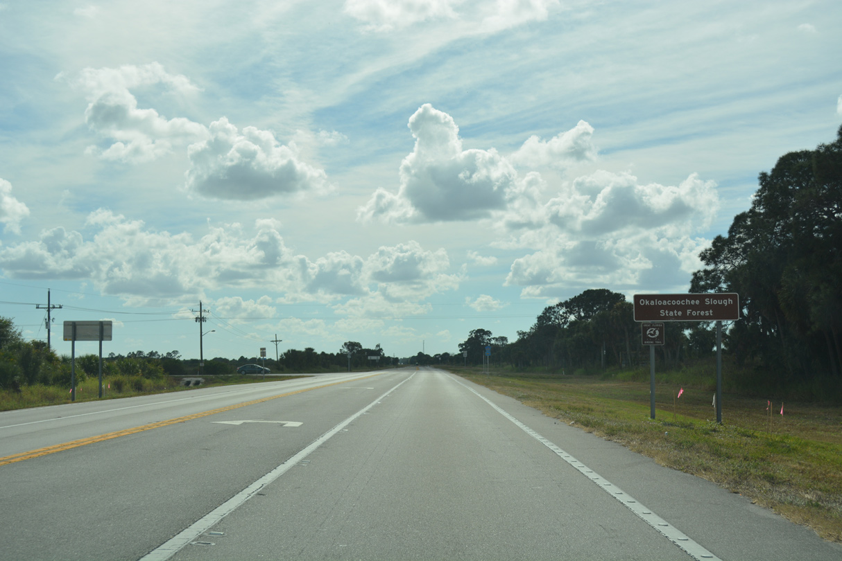
County Road 832 navigates along a winding course east from Keri through Okaloacoochee Slough State Forest.
11/26/16
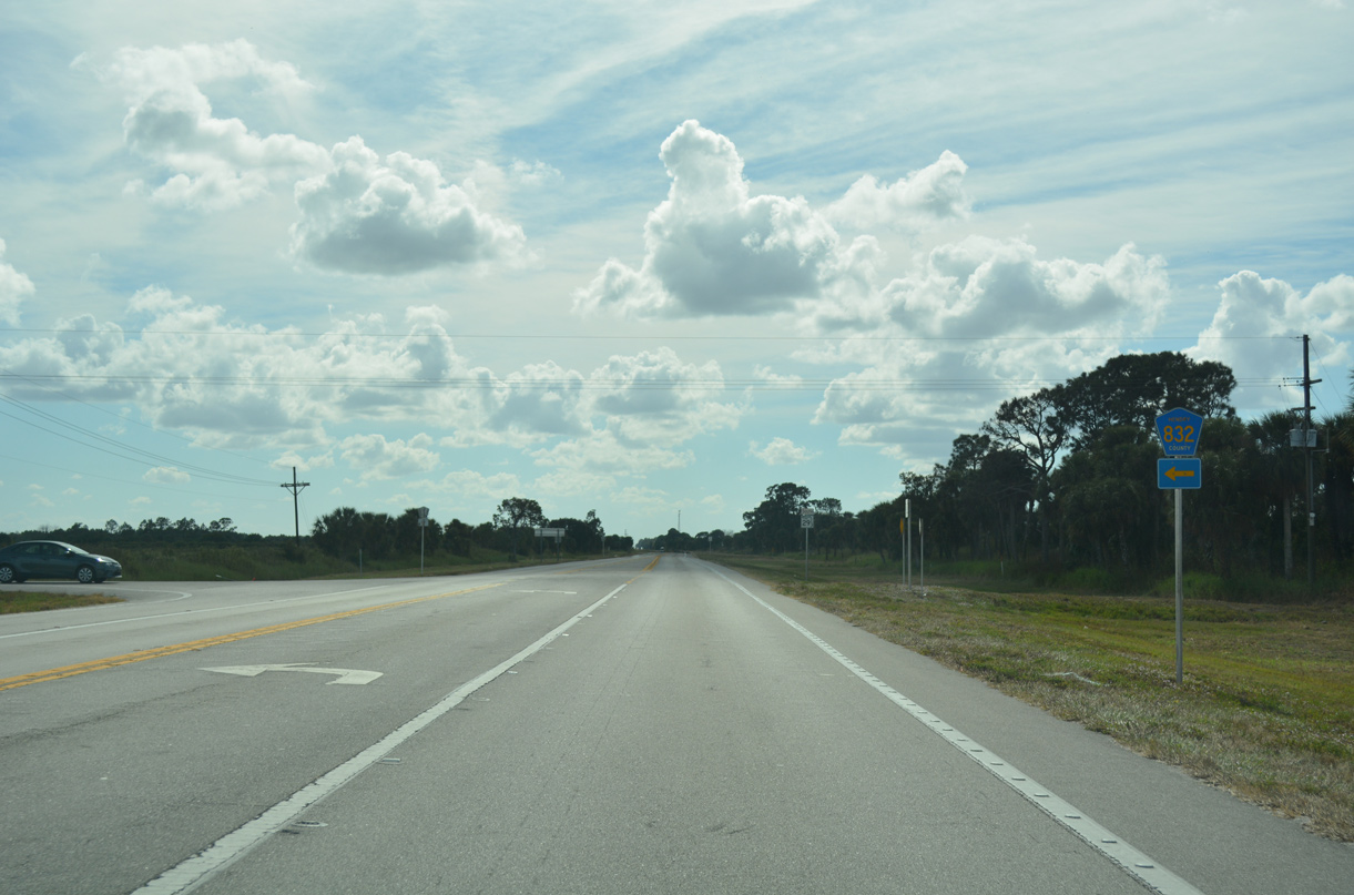
Measuring 20.12 miles overall, CR 832 extends east from SR 29 to CR 833.
11/26/16
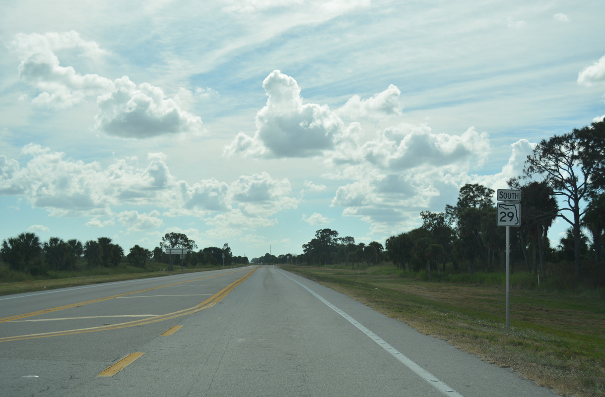
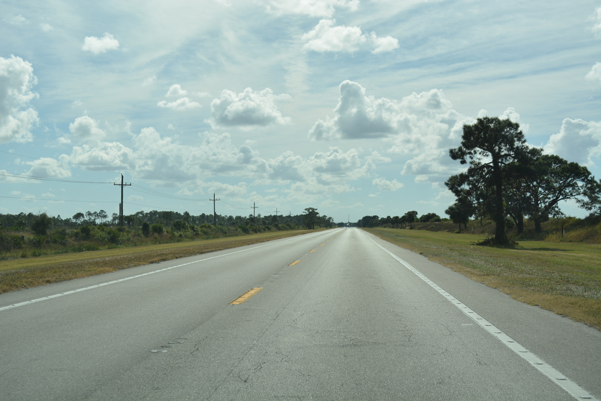
Continuing through southern Hendry County along SR 29.
11/26/16
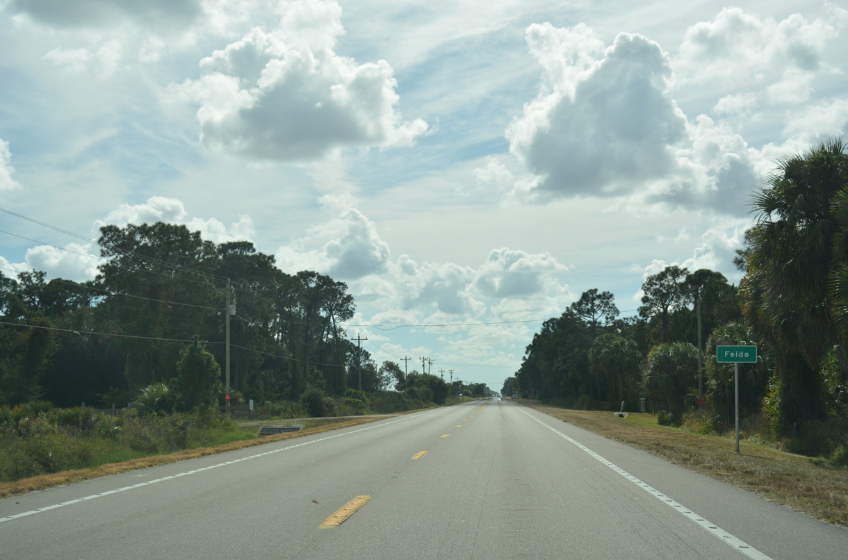
Felda lies along SR 29 south of Twelvemile Slough.
11/26/16
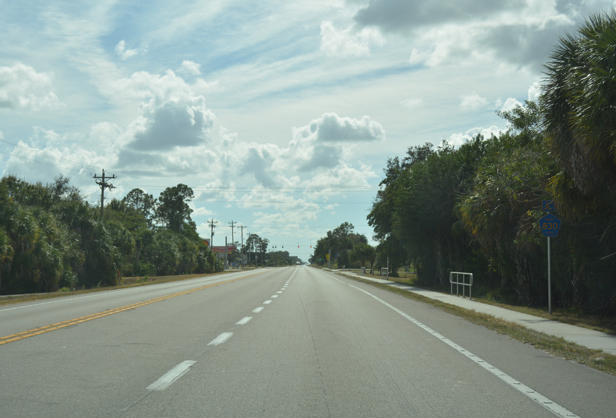
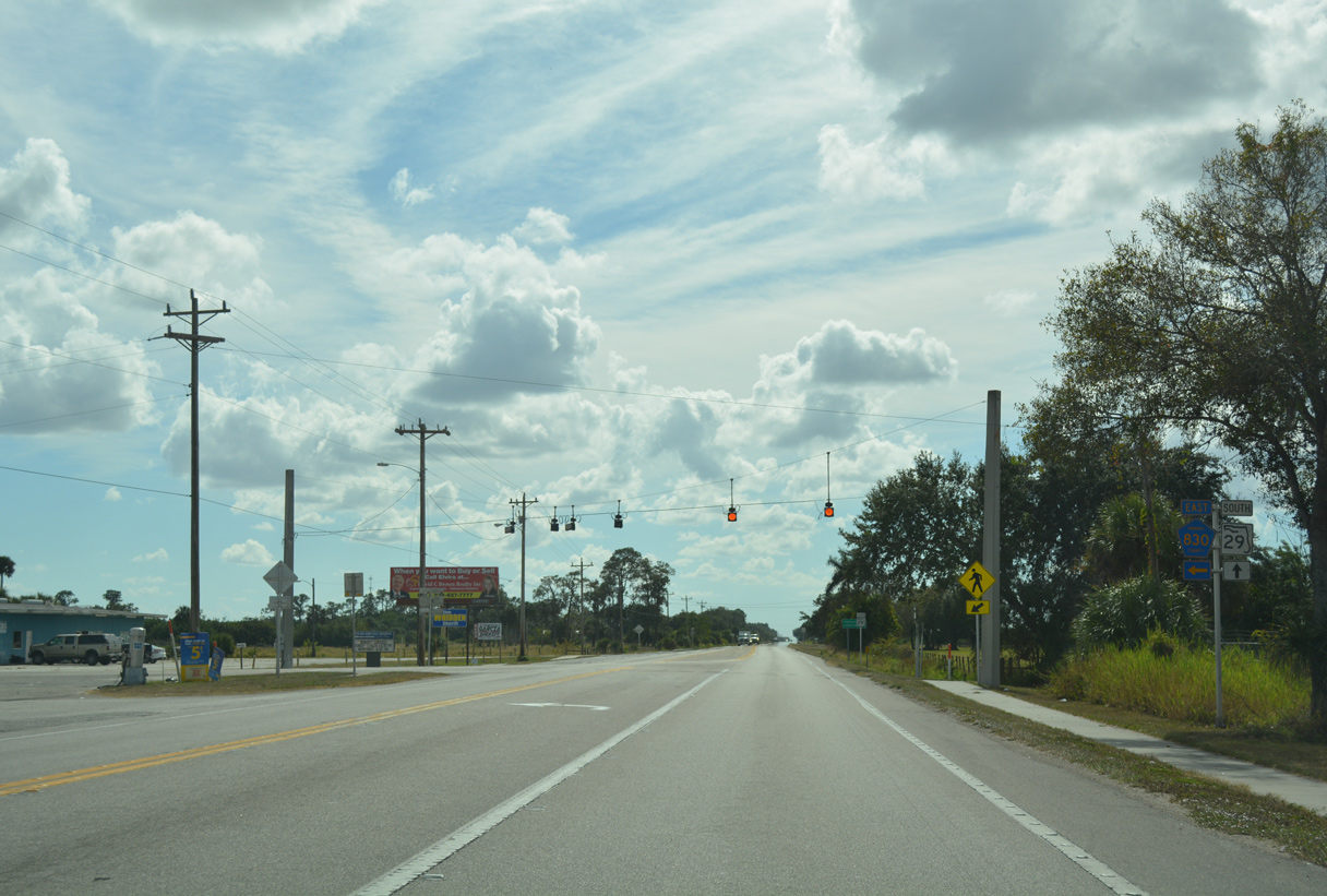
CR 830 follows N Felda Loop Road 4.38 miles southeast from SR 29 to Alico-Felda Grove Airport.
11/26/16
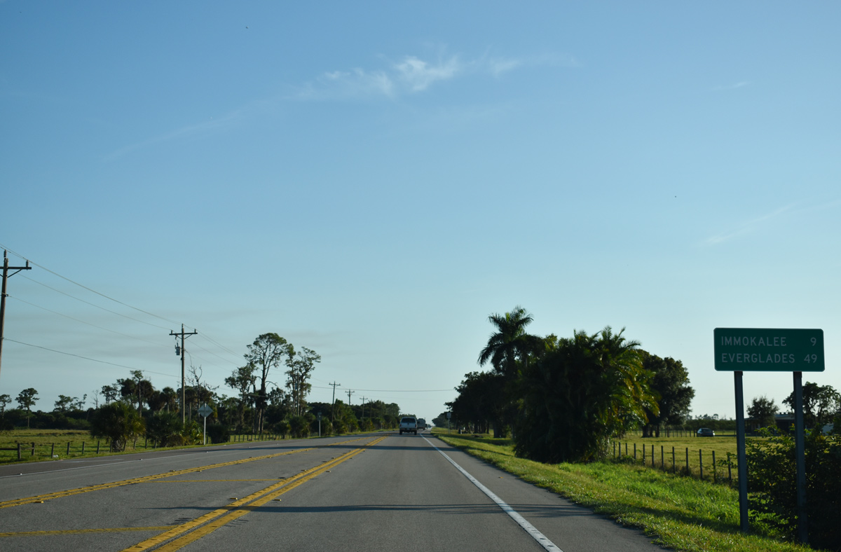
Immokalee lies nine miles south of CR 830 (N Felda Loop Road) on SR 29.
11/29/19
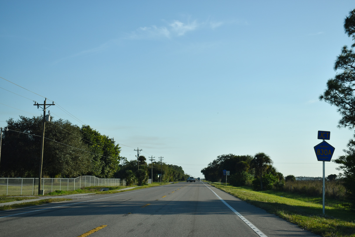
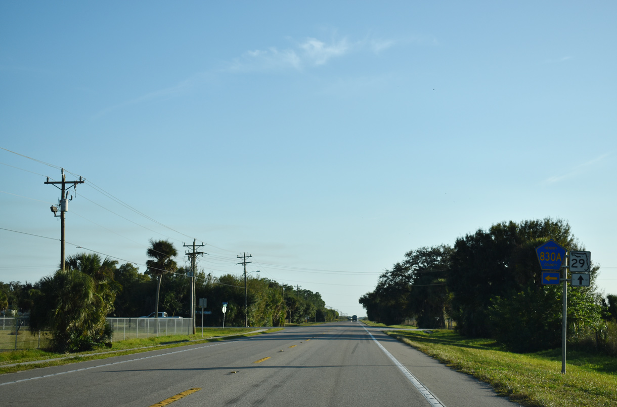
County Road 830A constitutes a 2.04 mile route east from SR 29 at Heritage Road to CR 830 (N Felda Loop Road).
11/29/19

Entering Collier County, the 18.50 mile stretch of SR 29 through Hendry County concludes east of Cow Slough.
11/26/16
Photo Credits:
- Alex Nitzman, JP Nasiatka: 07/02/19
- ABRoads: 11/26/16, 11/29/19
Connect with:
Page Updated Tuesday December 03, 2019.