
State Road 44 East - Mount Dora to DeLand
 East
East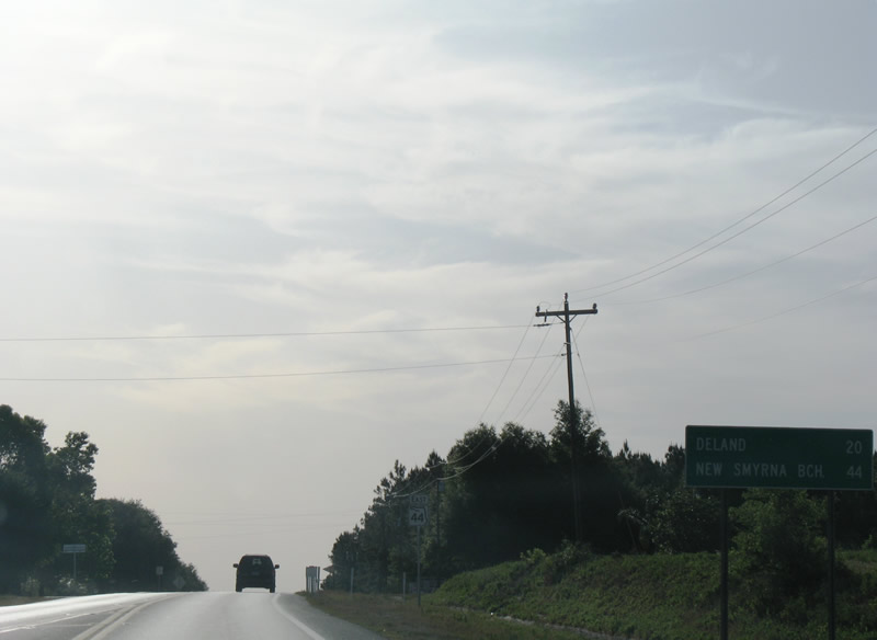
SR 44 advances east from Lake County Road 437 toward Cassia and Pine Lakes. The Volusia County seat of DeLand lies 20 miles to the northeast.
05/12/08

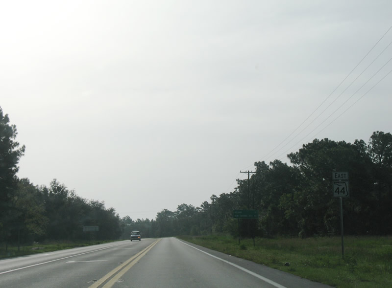
SR 44 reassurance shield posted between CR 437 and CR 46A.
05/12/08
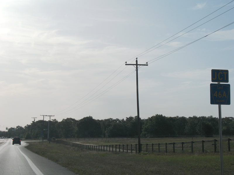
Lake County Road 46A provides a direct route from SR 44 and the Eustis area to SR 429 (Wekiva Parkway) east into Seminole County and SR 46 to Sanford.
05/12/08
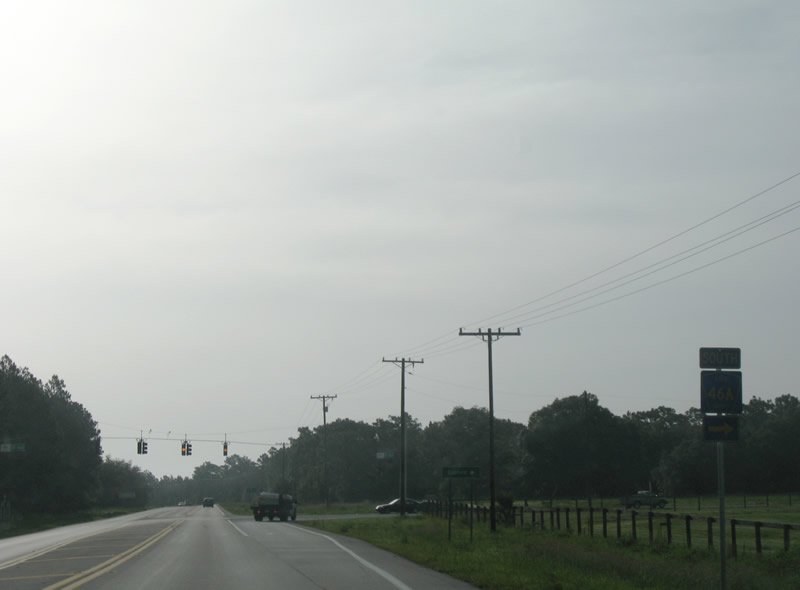
A significant portion of the eastbound traffic departs from SR 44 east onto CR 46A toward Sanford. Realigned in 2020 to meet SR 429 (Wekiva Parkway) at SR 46, CR 46A travels 2.8 miles south from SR 44 through Seminole Springs.
07/10/08
SR 44 curves northeast toward Cassia from Lake County Road 46A. The remaining drive to the Volusia County line is rural.
07/10/08

Typical scene along SR 44 northeast from the Seminole Springs area to Cassia.
07/10/08
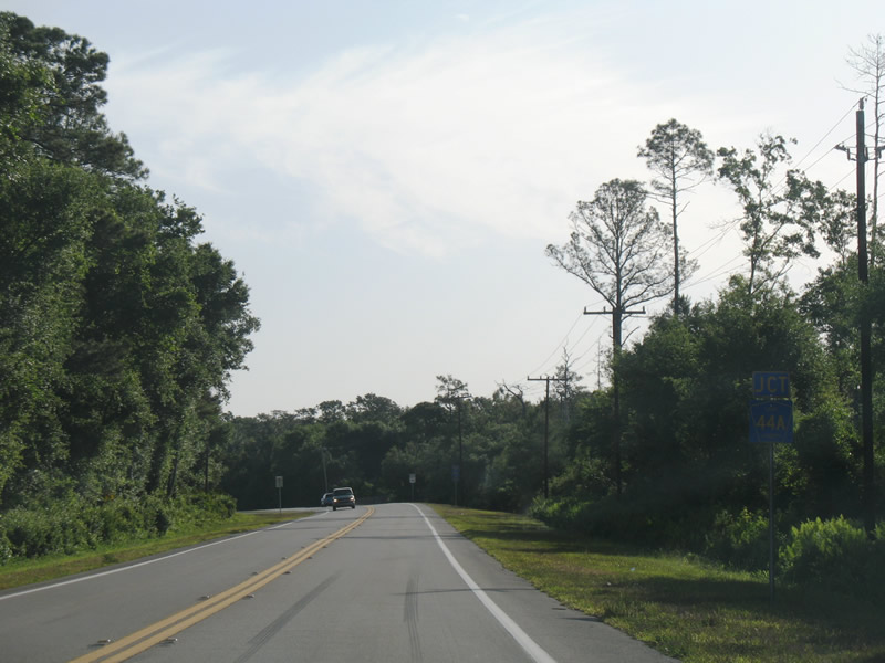
Lake County Road 44A (Burlington Avenue) ties into SR 44 east after Blackwater Creek. CR 44A provides an alternate route west to Eustis from SR 44 and DeLand.
05/12/08
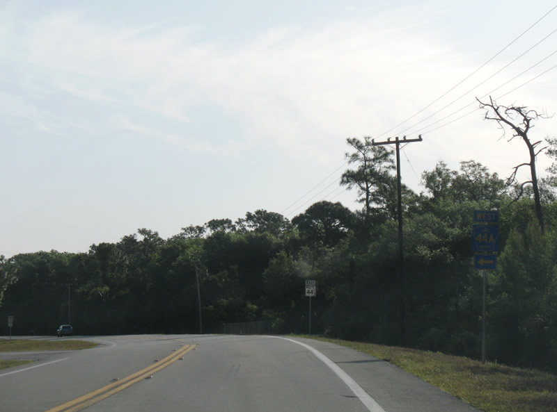
CR 44A east concludes at a wye intersection with SR 44. CR 44A (Burlington Avenue) bee lines west to the Eustis bypass (CR 44) on a parallel alignment to SR 44.
05/12/08
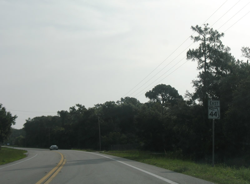
Continuing northeast from Lake County Road 44A to Cassia on SR 44 east.
07/10/08
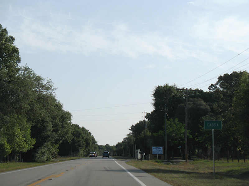
Home to a handful of houses and a small community center, Cassia is an unincorporated area along SR 44.
05/12/08
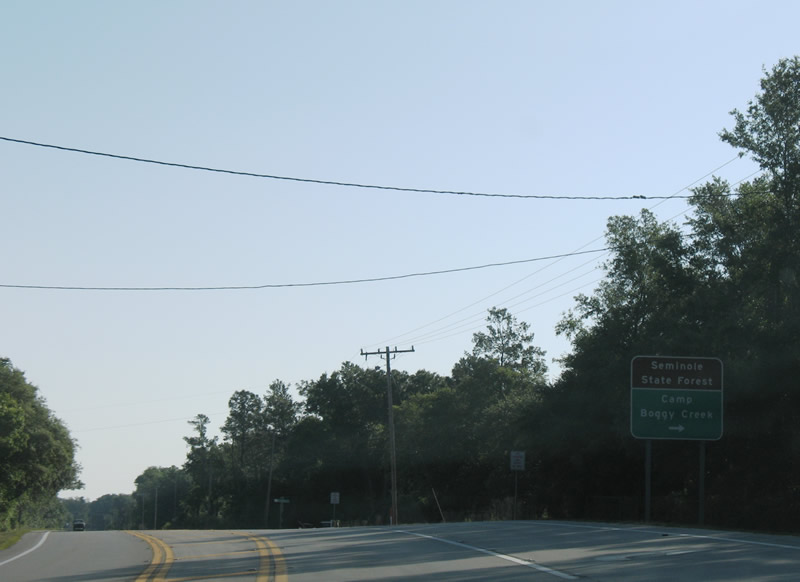
Brantley Branch Road stems east from SR 44 at Cassia to Camp Boggy Creek within Seminole State Forest. Much of the land to the southeast falls within the protected area.
05/13/08
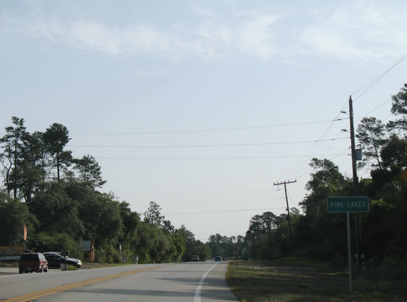
Pine Lakes follows Cassia along SR 44 northeast. The state road expands briefly with a center turn lane serving a few businesses and a cluster of homes through the rural community.
05/12/08
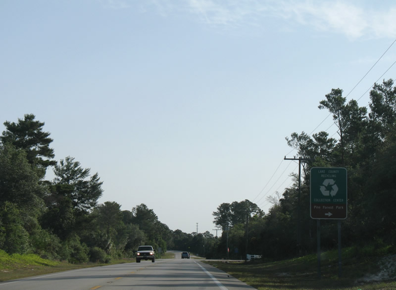
Pine Forest Park doubles as a recycling center along SR 44 eastbound within the Pine Lakes area.
05/12/08
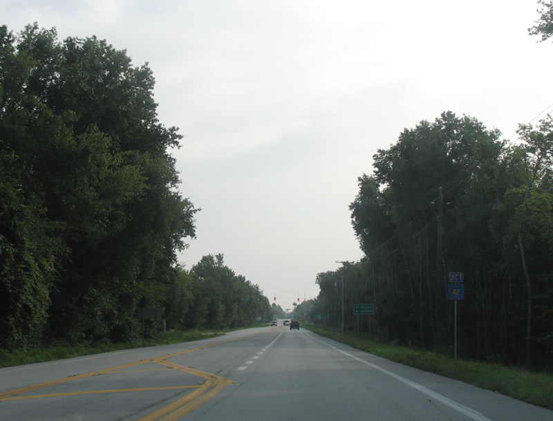
Nearing the St. Johns River, SR 44 east converges with CR 42 at Crow's Bluff.
07/10/08
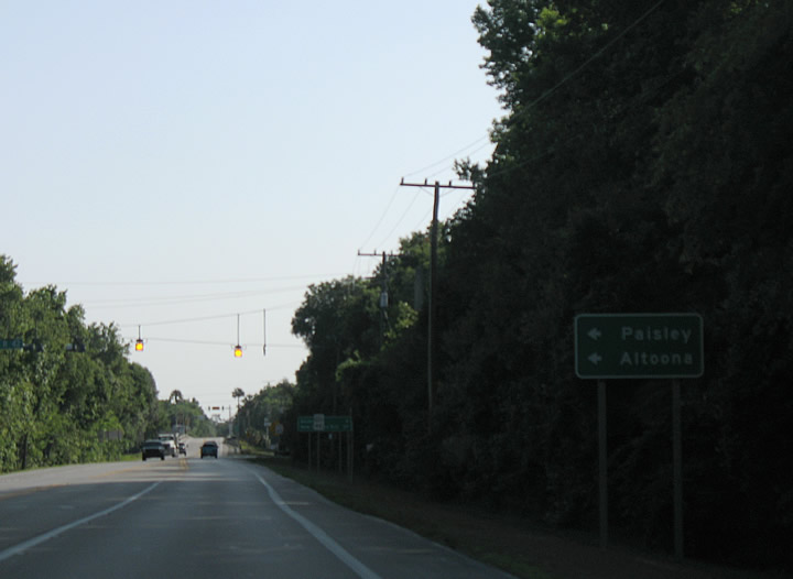
Lake County Road 42 meanders west along the boundary of Ocala National Forest to the rural communities of Fullerville and Paisley. CR 42 connects with SR 19 in 18.6 miles at Altoona.
05/12/08
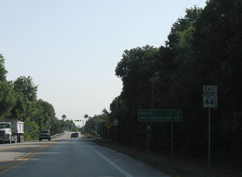
Progressing east from CR 42, SR 44 reaches Downtown DeLand in five miles.
05/12/08
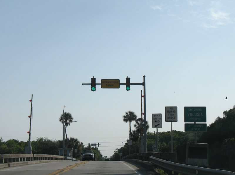
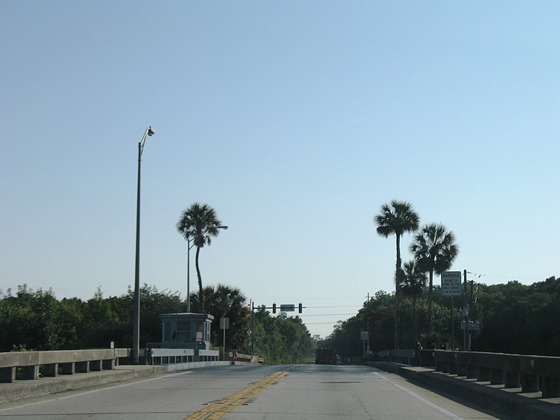
SR 44 crosses the St. Johns River into Volusia County on the Whitehair Bridge. The span dates back to 1951.
05/12/08
Over three years of construction starting in July 2020 replaces the double-leaf bascule bridge across the St. Johns River with a fixed, high-level span. Work includes adding access roads for Ed Stone Park, located along the east banks of the river.
05/13/08
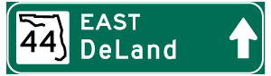

Photo Credits:
- Alex Nitzman: 05/12/08, 05/13/08, 07/10/08
Connect with:
Page Updated Wednesday March 21, 2018.