
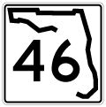
State Road 46 East - Sanford to Mims
 South
South  West
West  East
East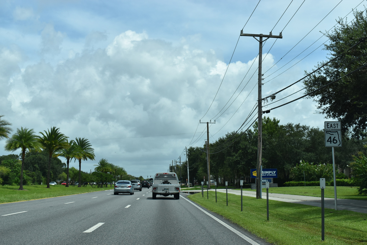
SR 46 reassurance marker posted along U.S. 17/92 east of CR 15 (Upsala Road).
09/02/19
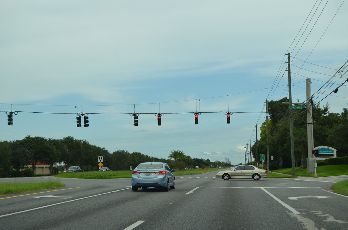
The next signal along SR 46 east is with Central Park Drive south to Sanford Central Park and an apartment entrance to the north.
09/03/17
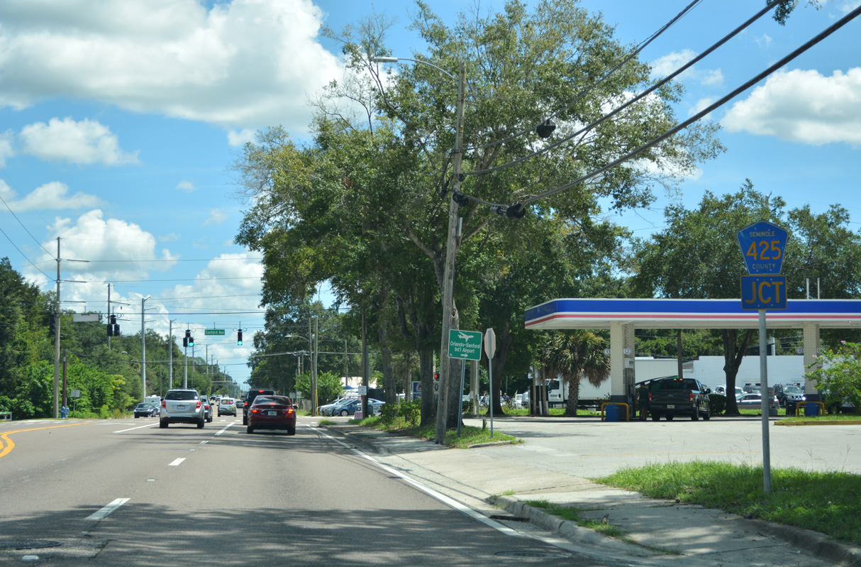
Martin Luther King, Jr. Boulevard constitutes an arterial route leading south from U.S. 17/92-SR 46 to Airport Boulevard around central Sanford. The four lane roadway replaced Bevier Road, a two lane street. It was briefly posted as County Road 425 at SR 46 after opening in 2008.
09/03/17
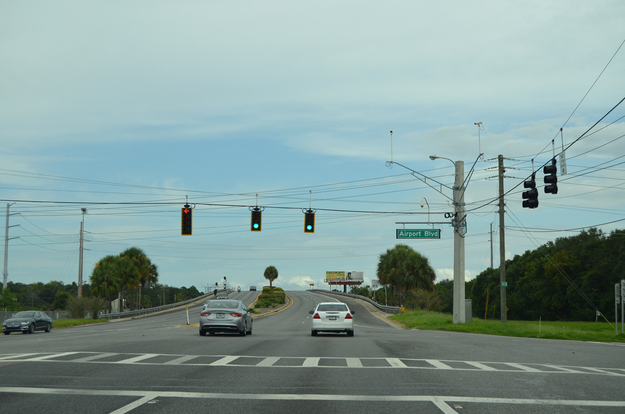
Airport Boulevard parallels Martin Luther King, Jr. Boulevard to the east as the unmarked northern section of CR 425. CR 425 extends south along the four lane portion of Airport Boulevard from MLK Boulevard to ramps with SR 417 at U.S. 17/92.
09/03/17
Airport Boulevard arcs southeast to eventually reach Orlando-Sanford International Airport (SFB). CR 425 follows the alignment to U.S. 17-92, where unsigned CR 4209 takes over eastward. A second section of CR 425 ties into SR 46 (25th Street) along Sanford Avenue.
09/03/17
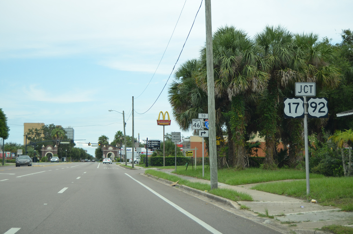
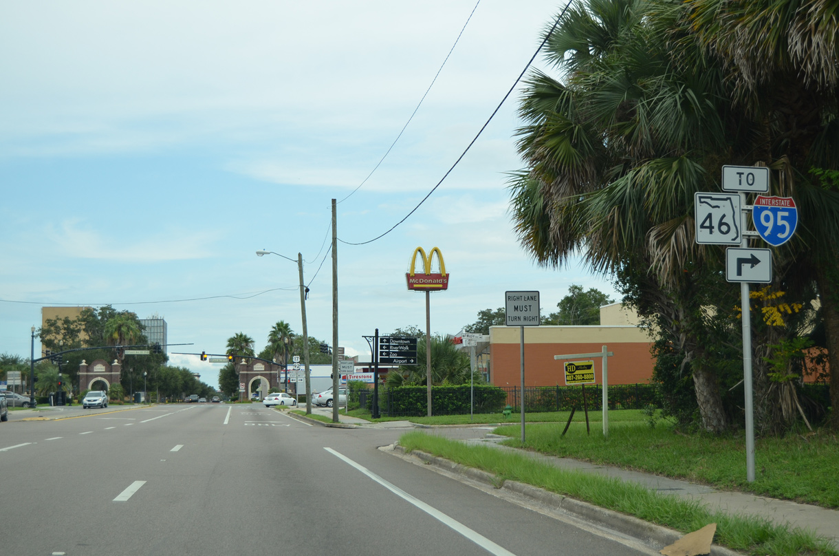
U.S. 17/92-SR 46 cross SunRail and the CSX Railroad line over the Sydney O. Chase, Jr. Overpass on the drive toward French Avenue outside Downtown Sanford. Prior to 2019, SR 46 combined with U.S. 17/92 ahead.
09/03/17
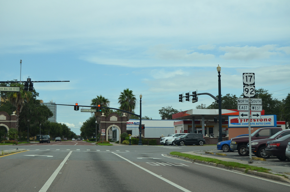
U.S. 17/92 overlap throughout the Orlando area, traveling north through DeBary to Orange City and DeLand in Volusia County. South from Sanford, the two routes continue to Longwood, Casselberry and Maitland in Orange County.
09/03/17
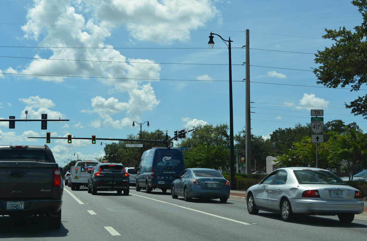
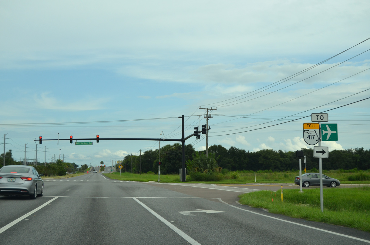
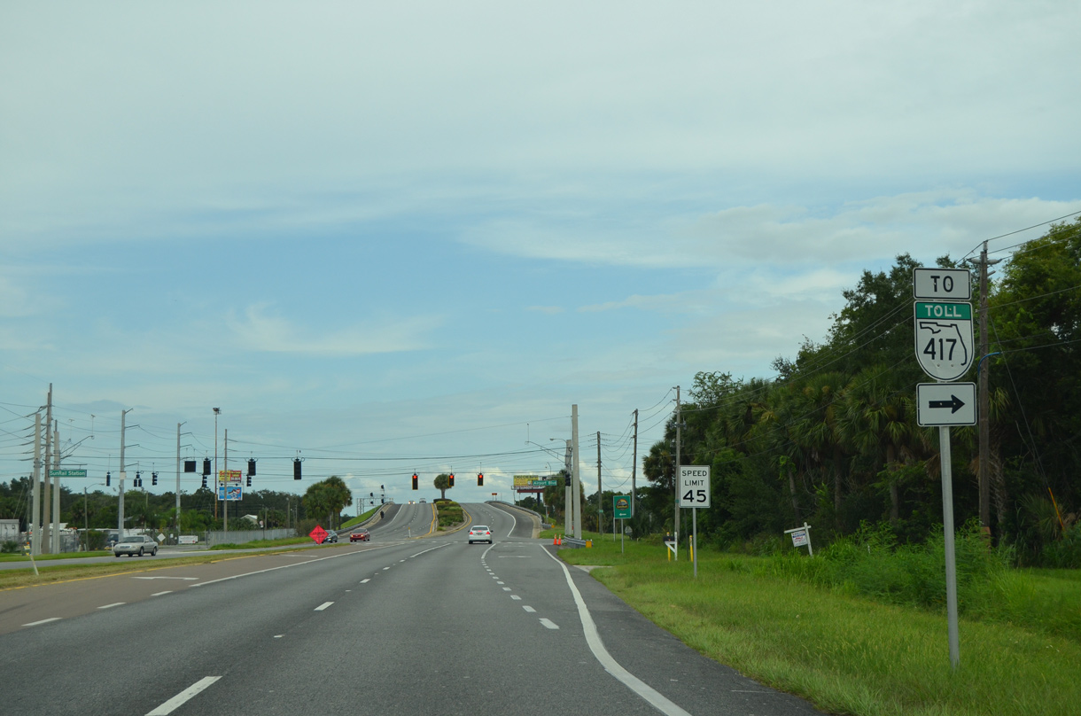
U.S. 17/92 advance 1.1 miles south from SR 46/CR 46A (25th Street) to SR 417 (Seminole Expressway).
09/12/22
East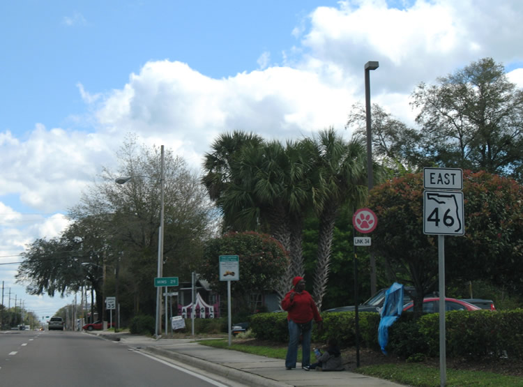
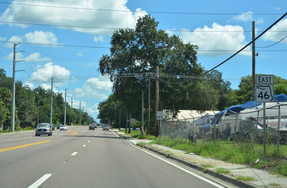
SR 46 lines 25th Street east from U.S. 17-92 (French Avenue) to Mellonville Avenue. The confirming marker posted after the separation with French Avenue was removed by 2016.
02/29/08
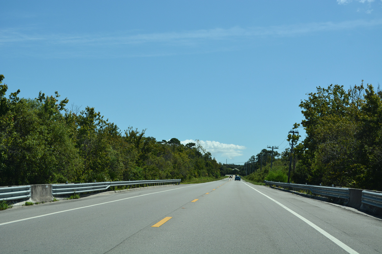
Beyond Sanford, the majority of SR 46 east to Mims traverses rural or conservation areas.
09/12/22
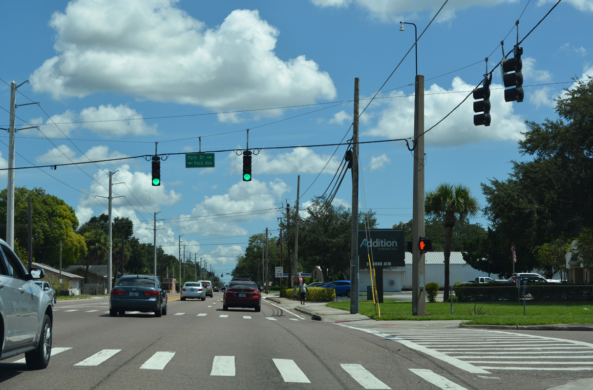
Park Avenue south and Park Drive north meet SR 46 (25th Street) at this signal. Heading northeast from U.S. 17-92 (French Avenue), Park Drive becomes Park Avenue at 25th Street en route to Historic Downtown Sanford as unmarked CR 4213.
09/12/22
SR 46 continues three blocks east from Park Avenue to meet the segment of CR 425 along Sanford Avenue.
09/12/22

CR 425 lines Sanford Avenue 1.62 miles south from SR 46 to the curve onto Ronald Reagan Boulevard. CR 427 takes over from there southwest toward Lake Mary and Longwood. A CR 425 shield posted here was removed by 2016.
09/12/22
Advancing east from Sanford Avenue, SR 46 (25th Street) continues to a CSX Railroad crossing and the northern periphery of Orlando-Sanford International Airport (SFB).
09/12/22
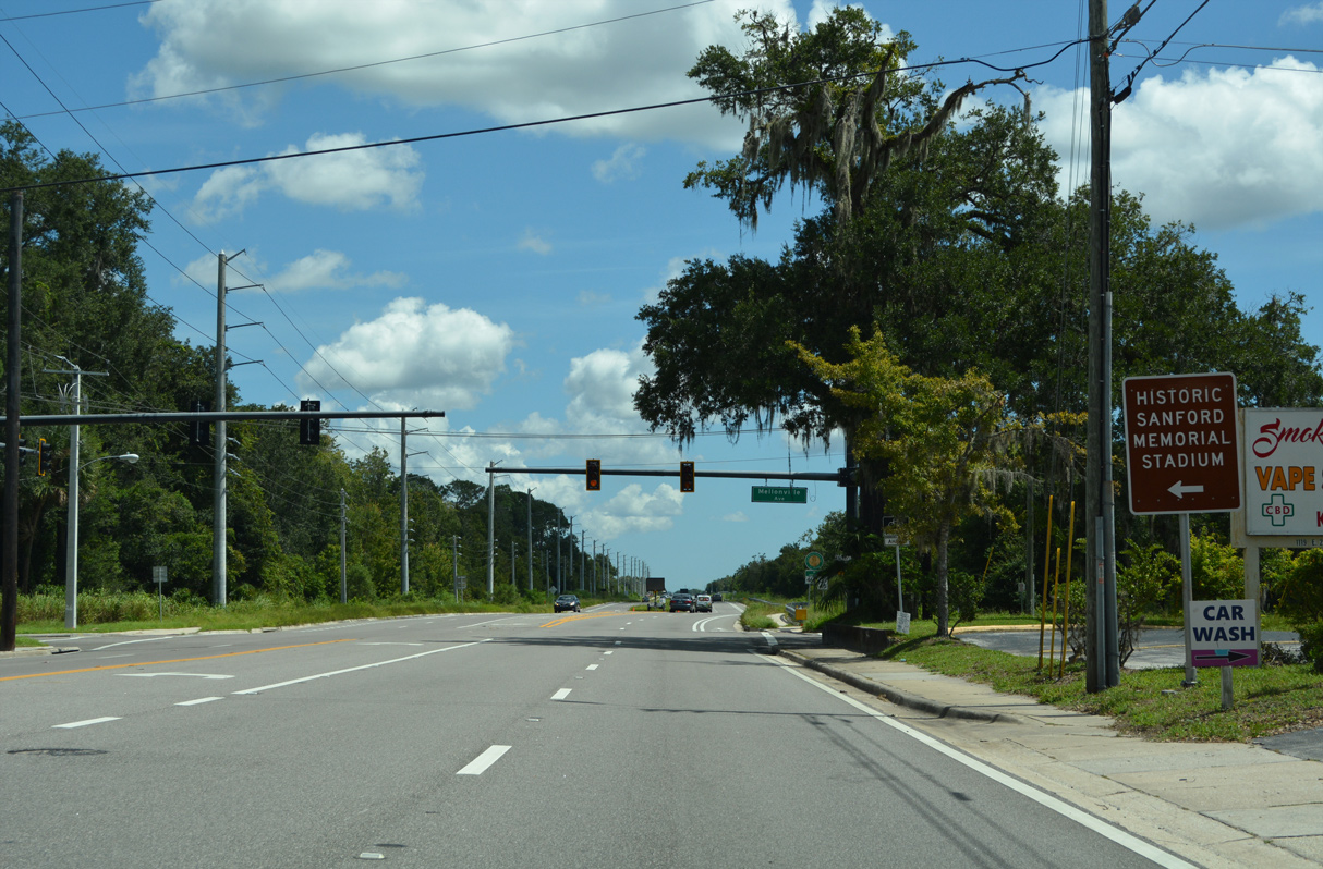
SR 46 (25th Street) previously narrowed to two lanes east of Mellonville Avenue. Mellonville Avenue (unsigned CR 4201) stems north from 25th Street to Seminole Boulevard along Lake Monroe.
09/12/22
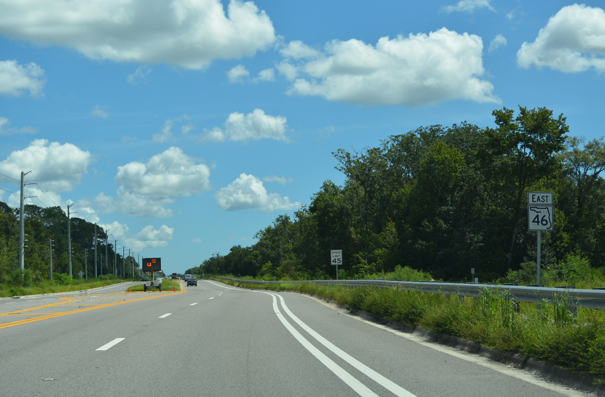
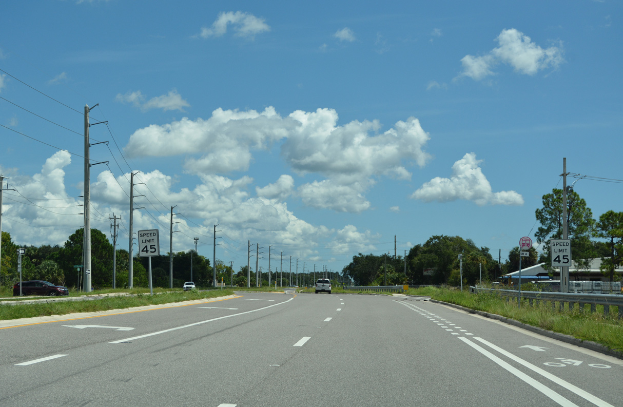
Construction underway from May 2016 to Summer 2019 widened SR 46 to four overall lanes with a 22 foot wide raised median. The $26.5 million project upgraded 2.63 miles of the state road, from Mellonville Road east to SR 415. The initial phase constructed a temporary alignment for SR 46 to the south.1
09/12/22
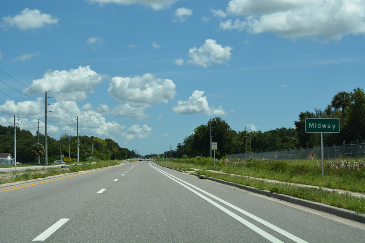
SR 46 east reaches the community of Midway east of Brisson Avenue and north of SFB Airport.
09/12/22
Beardall Avenue heads one mile north from SR 46 to the Cameron Heights development and Seminole County Road 415 (Celery Avenue).
09/12/22
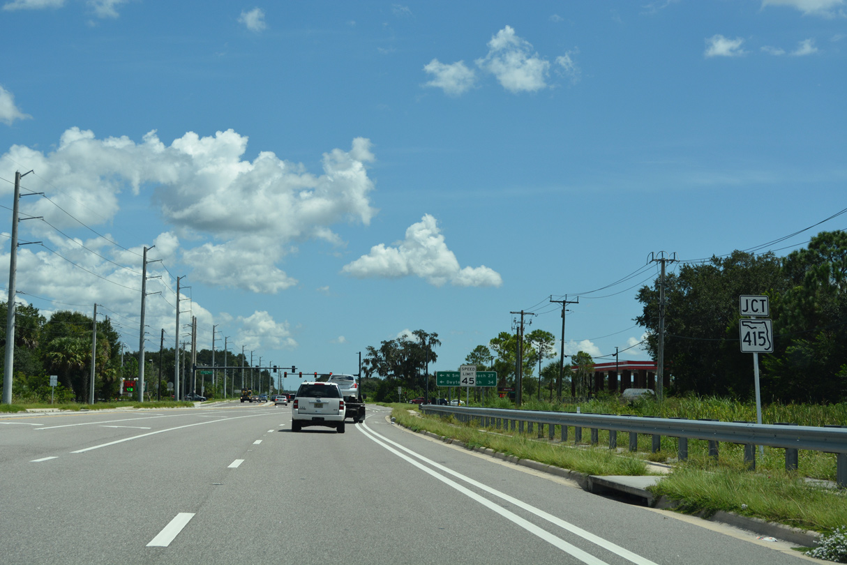
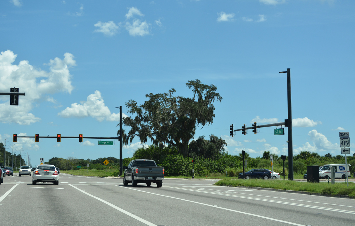
SR 415 south and East Lake Mary Boulevard north come together at the succeeding intersection along SR 46 east. Widening of SR 46 at SR 415 in 2018 added dual left turn lanes in both directions.
09/12/22
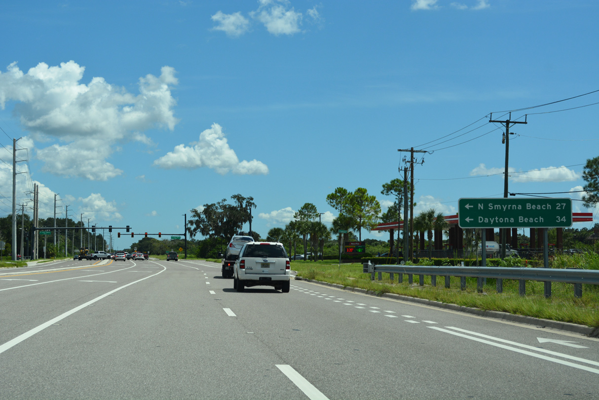
SR 415 heads northeast across the St. Johns River to Osteen and southeast Deltona within Volusia County. Connections with SR 44 and I-95 lead travelers to New Smyrna Beach and Daytona Beach.
09/12/22
Lake Mary Boulevard was extended in 2006 around Orlando-Sanford International Airport (SFB) to Cameron City and SR 415. The four lane arterial leads west across south Sanford.
09/12/22
Continuing east from Beck Hammock, SR 46 traverses areas south of Indian Mound Slough and the St. Johns River alongside the Lake Jesup Conservation Area.
02/29/08
SR 46 formerly crossed the St. Johns River over the Geneva Bridge. The vintage span was replaced by a wider bridge in 2009 and subsequently demolished. A portion of the old roadway was incorporated into Cameron Wight Park.
02/29/08
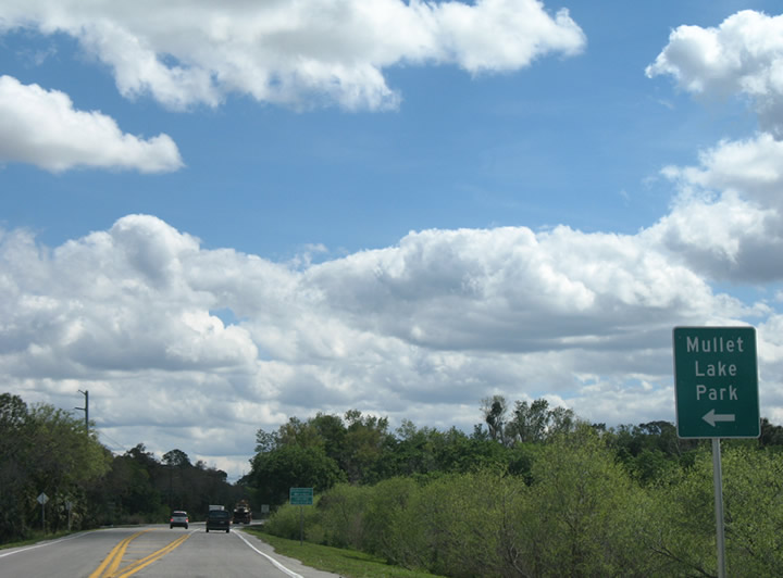
Osceola Road branches east from SR 46 and links the state road with Mullet Lake Park Road and the Seminole County Landfill, located at the abandoned site of Osceola Field.
02/29/08
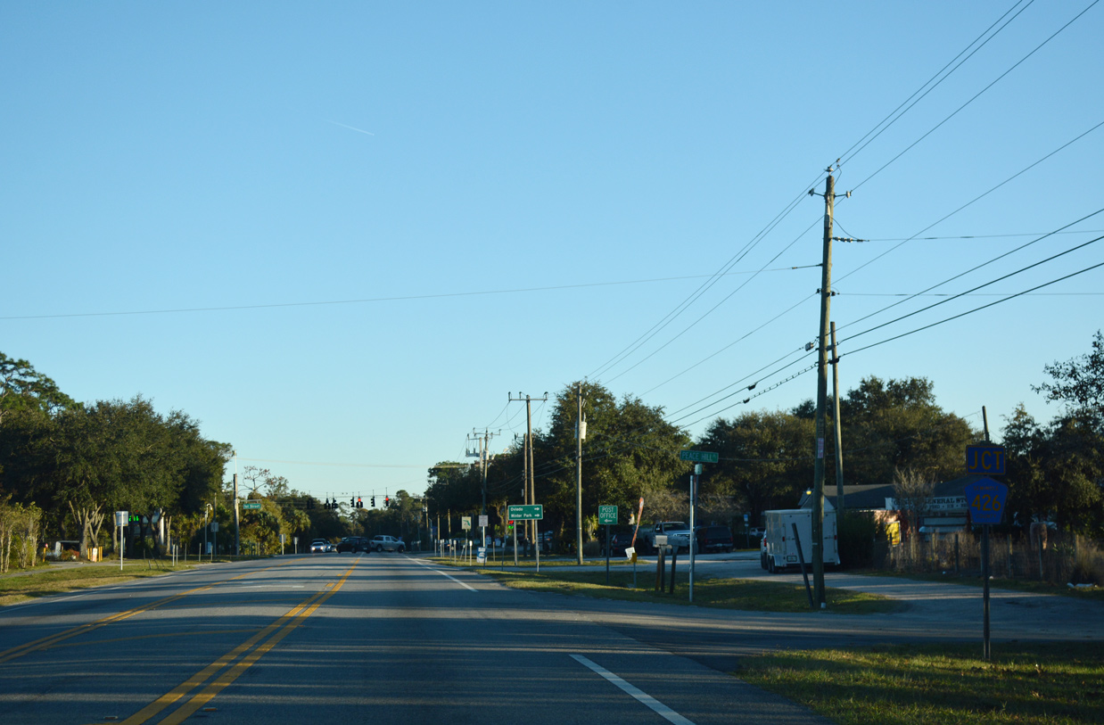
SR 46 travels southeast from Lake Jesup to the rural community of Geneva. Meeting the state road there is the east end of County Road 426 (Geneva Drive).
12/06/18
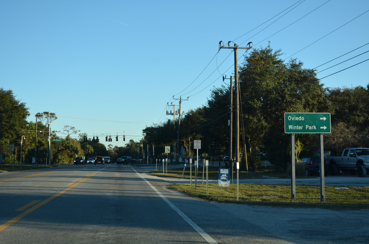
Seminole County Road 426 leads 7.78 miles southwest to Downtown Oviedo, where SR 419, SR 434 and CR 419 converge. SR 426 extends west from there to Winter Park.
12/06/18
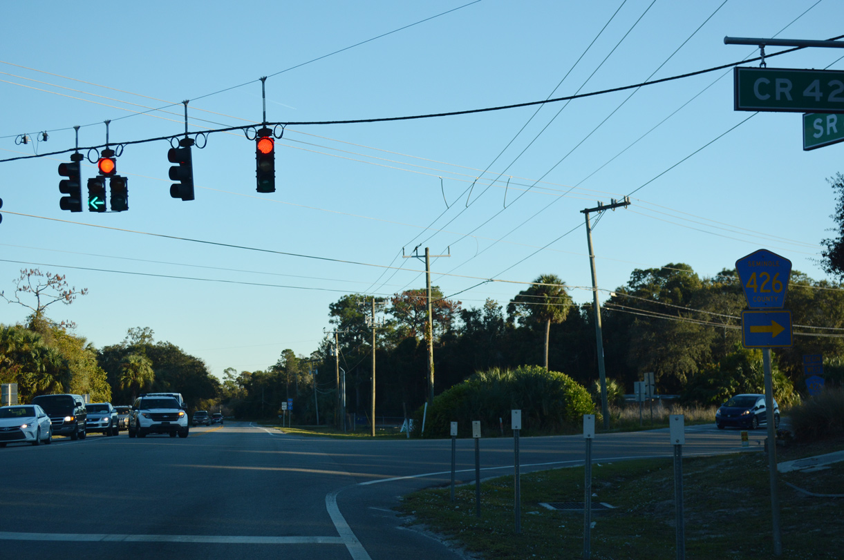
1st Street ties into the signalized intersection of SR 46 and CR 426 from the north.
12/06/18
SR 46 crosses the St. Johns River for a second time over the George C. Means Memorial Bridge by C.S. Lee Park.
09/12/22
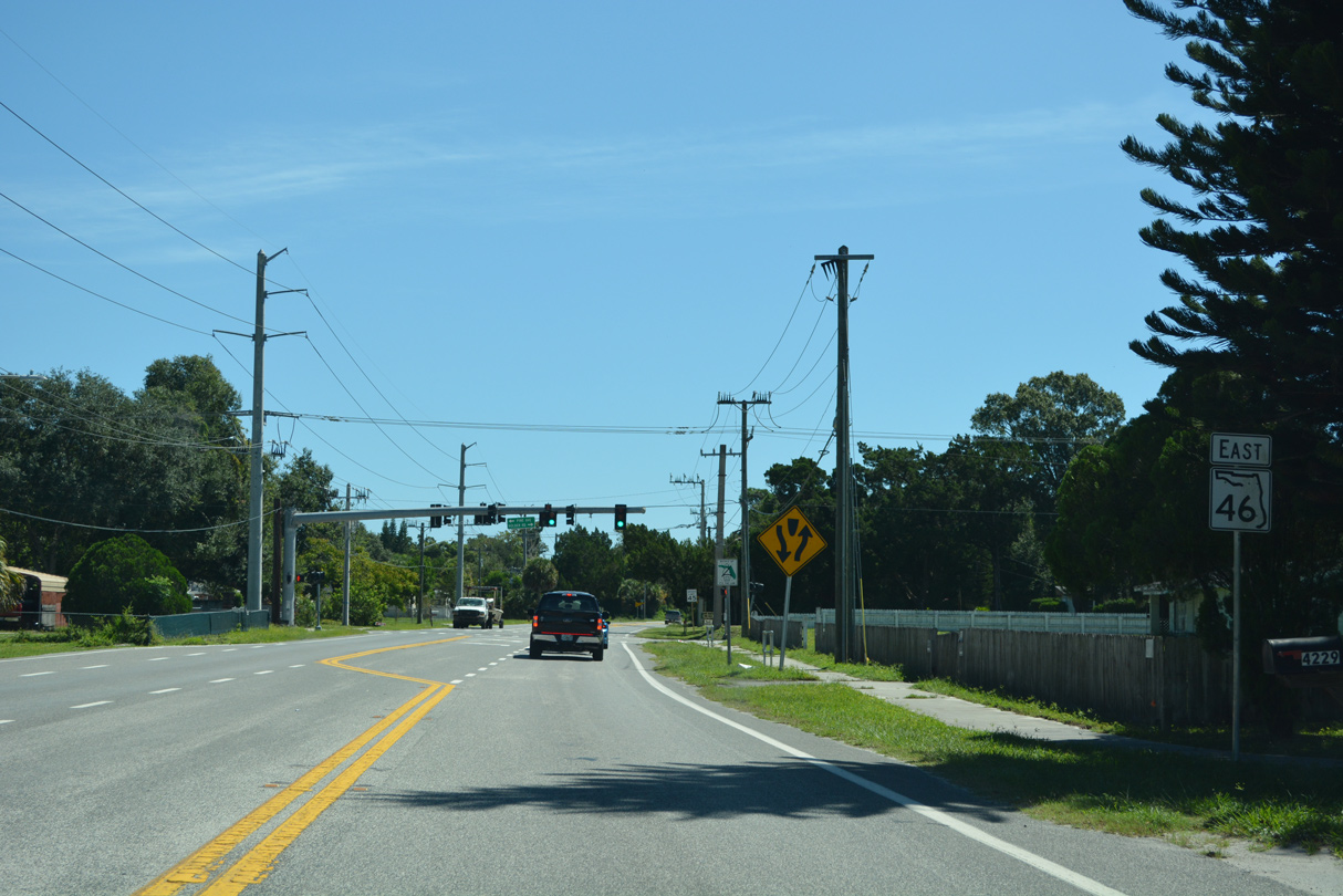
Confirming marker posted east of the diamond interchange joining SR 46 with Interstate 95 at Exit 228.
09/12/22
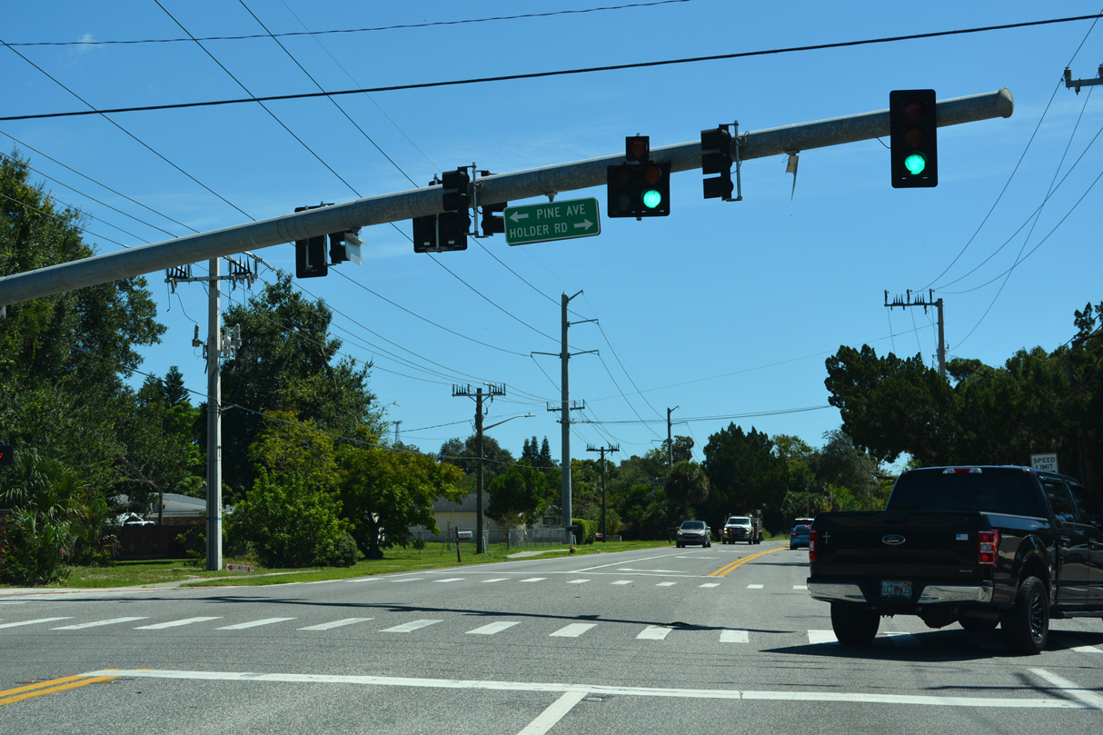
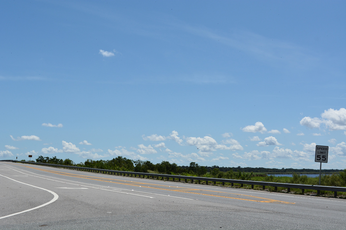
Holder Road leads south as a frontage road to Dairy Road along I-95 to several subdivisions. Pine Avenue spurs north to several residential streets.
09/12/22
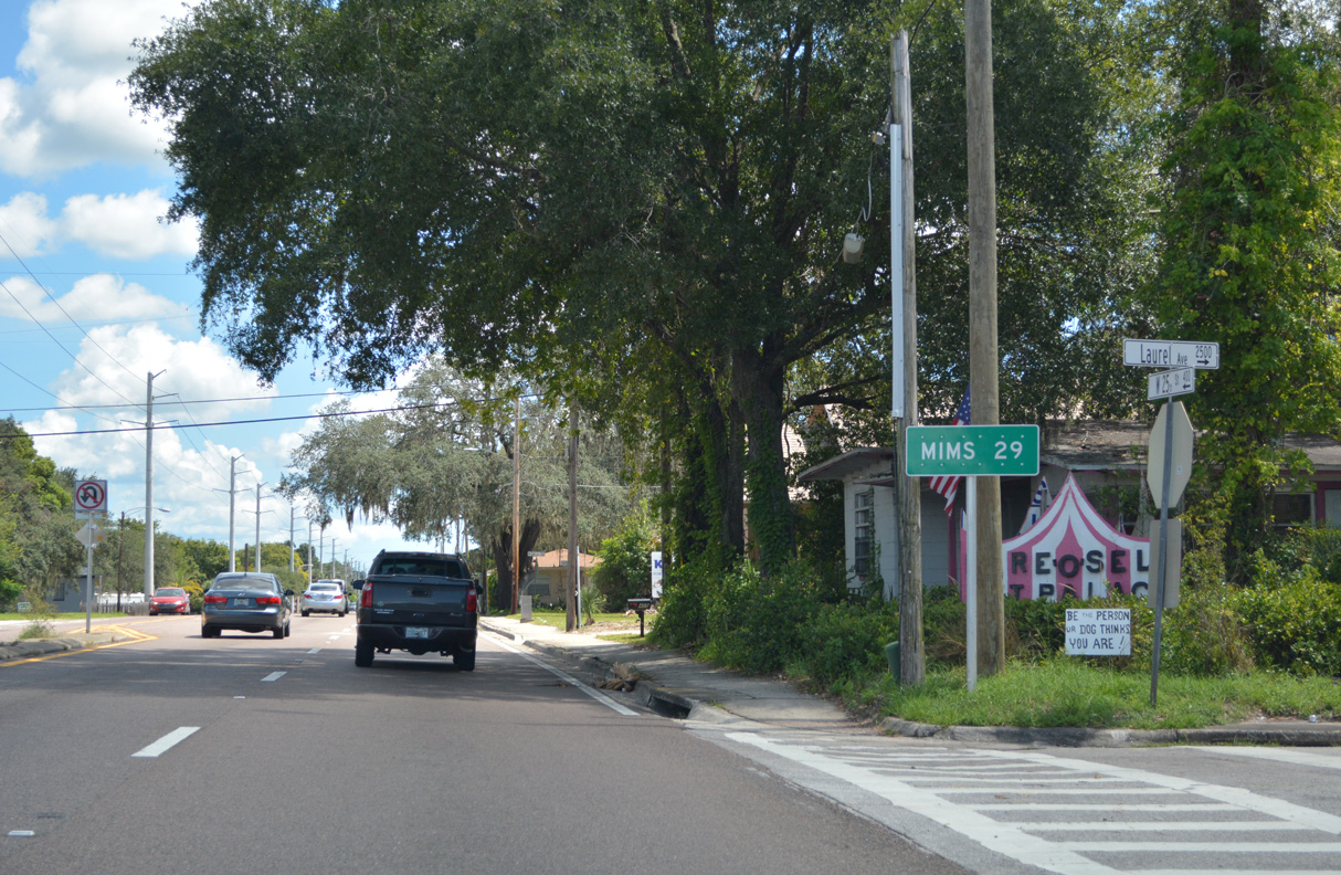
SR 46 shifts south to the unincorporated community of Mims from Palm Avenue across a swamp.
09/12/22
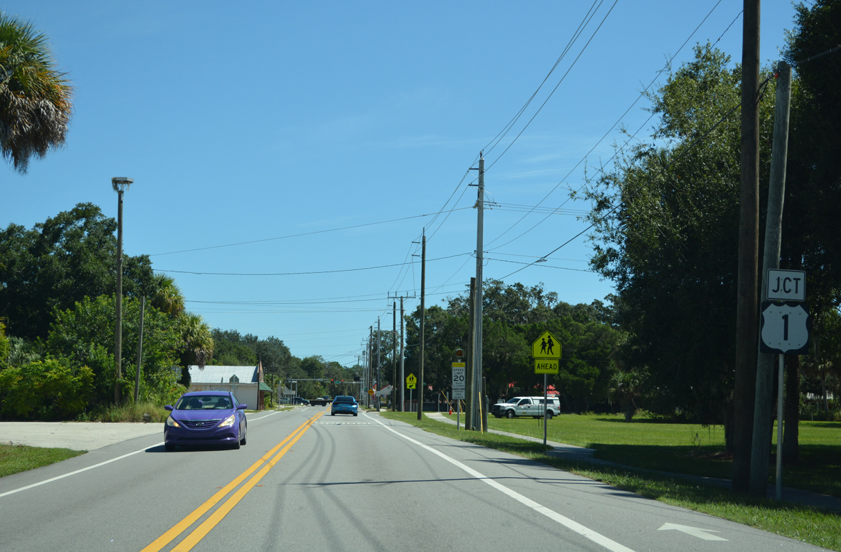
SR 46 bends northward from Singleton Avenue (unsigned CR 405) along W Main Street to U.S. 1 in Mims.
09/12/22
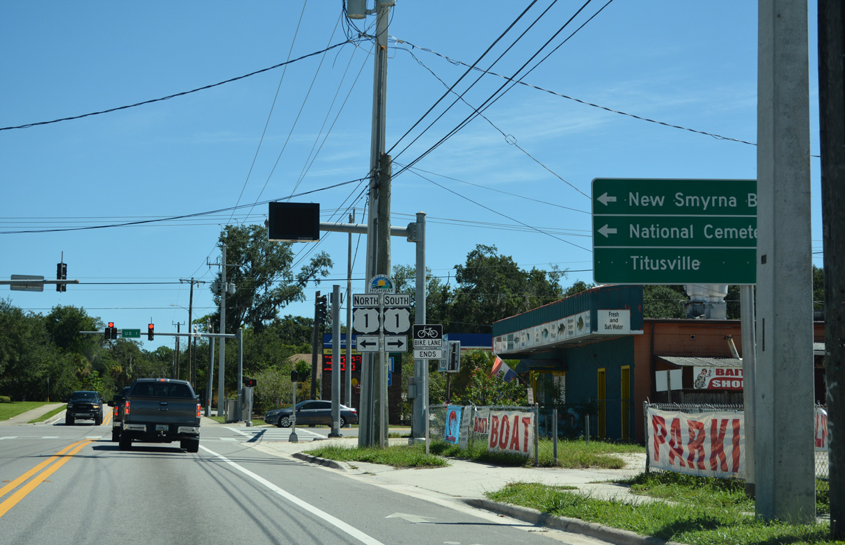
U.S. 1 constitutes a rural four lane highway north from Titusville to Scottsmoor and Oak Hill.
09/12/22
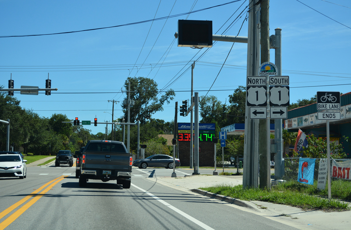
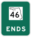
E Main Street extends beyond the end of SR 46 at U.S. 1 toward the Indian River.
09/12/22
References:
- State Road 46 From Mellonville Ave. to East of SR 415 Seminole County Financial Project ID: 240216-2-52-01. Florida Department of Transportation (District 5), Public Meeting Presentation document.
Photo Credits:
- Brent Ivy: 09/02/19
- ABRoads: 09/03/17, 12/06/18
- Alex Nitzman: 02/29/08, 09/12/22
Connect with:
Page Updated Monday November 07, 2022.