
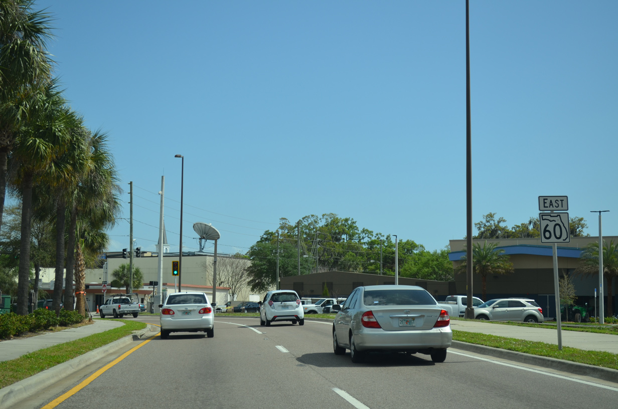
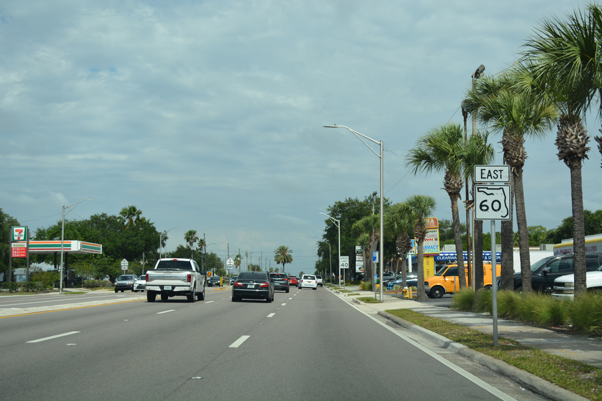
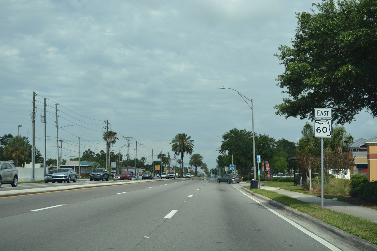
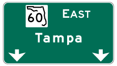
State Road 60 East - Clearwater
 East
East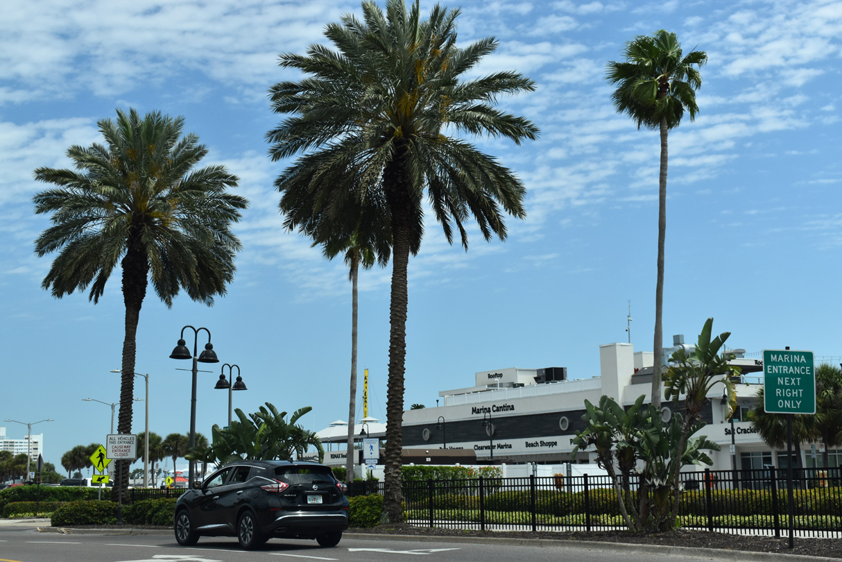
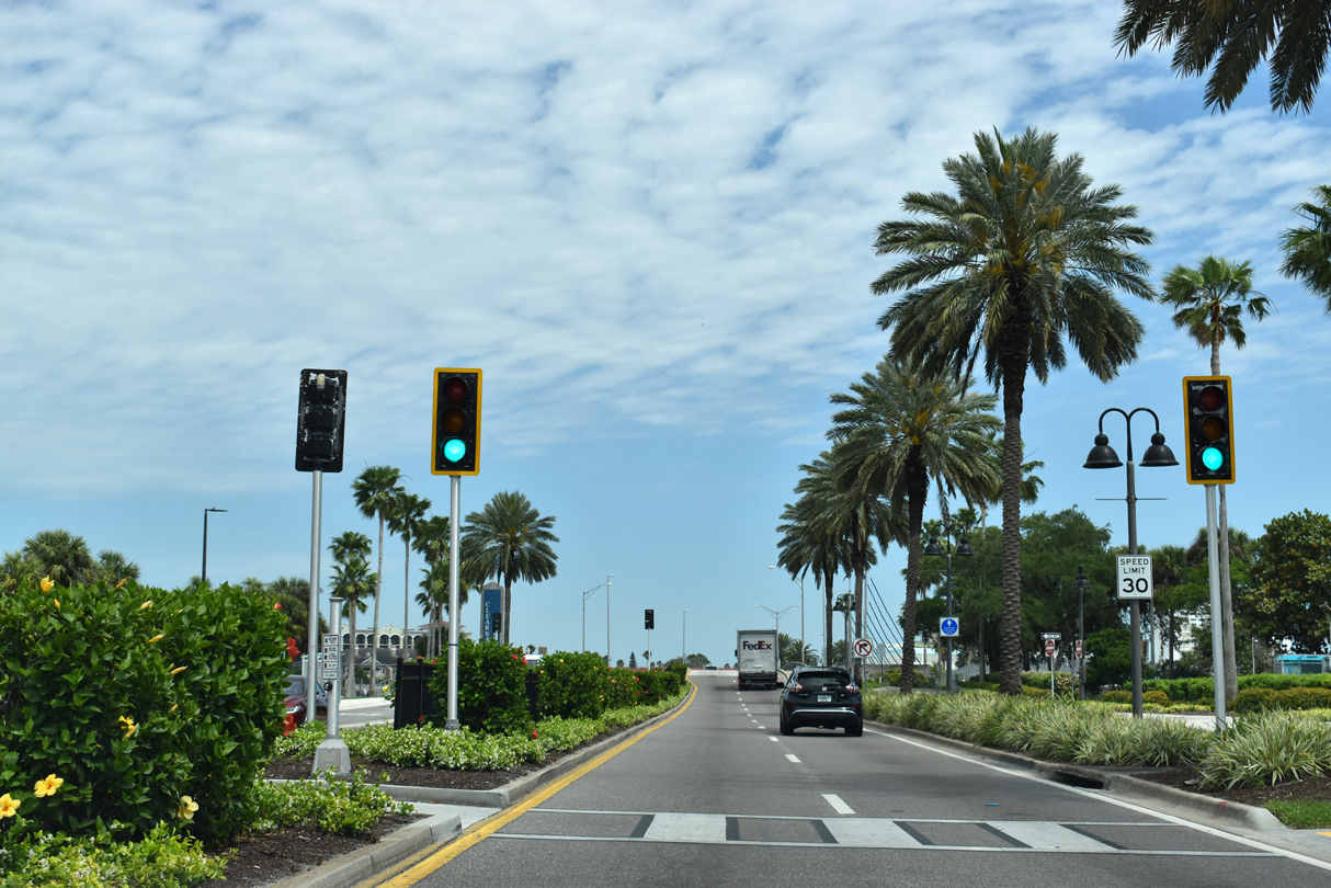
A roundabout in Clearwater Beach joins Cornado Drive north and Mandalay Avenue south with Causeway Boulevard east to State Road 60 (Clearwater Memorial Causeway).
04/03/20
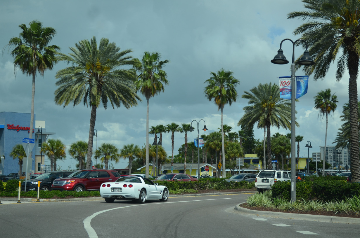
Causeway Boulevard stems east from the Clearwater Beach Roundabout to become SR 60 at the Mandalay Channel bridge.
03/11/15
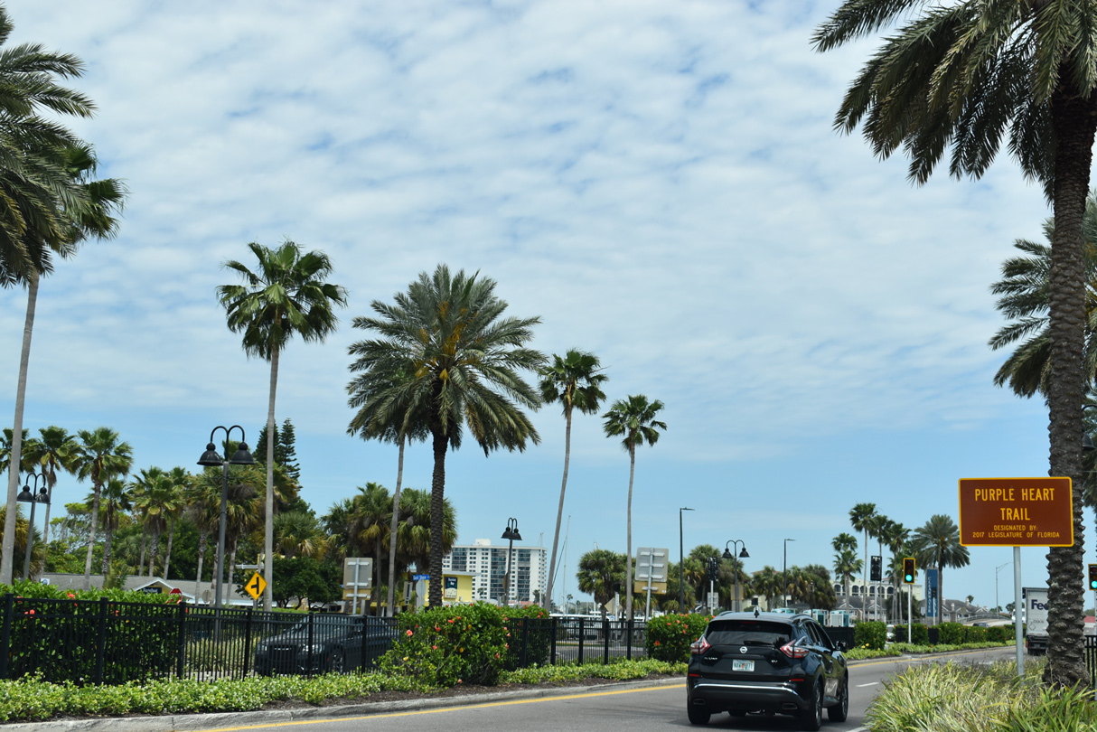
A four lane parkway, Causeway Boulevard runs by Clearwater Municipal Marina to Mandalay Channel. The westbound direction is often congested due to heavy traffic at the adjacent roundabout.
04/03/20
Pedestrian signals operate along Causeway Boulevard at E Shore Drive and the Marina Cantina retail complex.
04/03/20
SR 60 begins at the low level bridge taking Causeway Boulevard across Mandalay Channel. The span connecting with Clearwater Memorial Causeway was built in 1960.
04/03/20
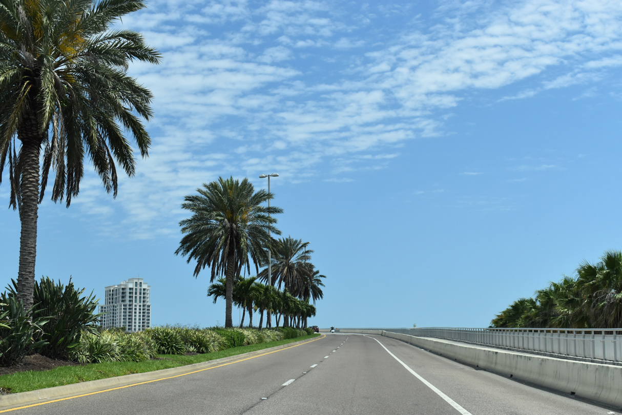
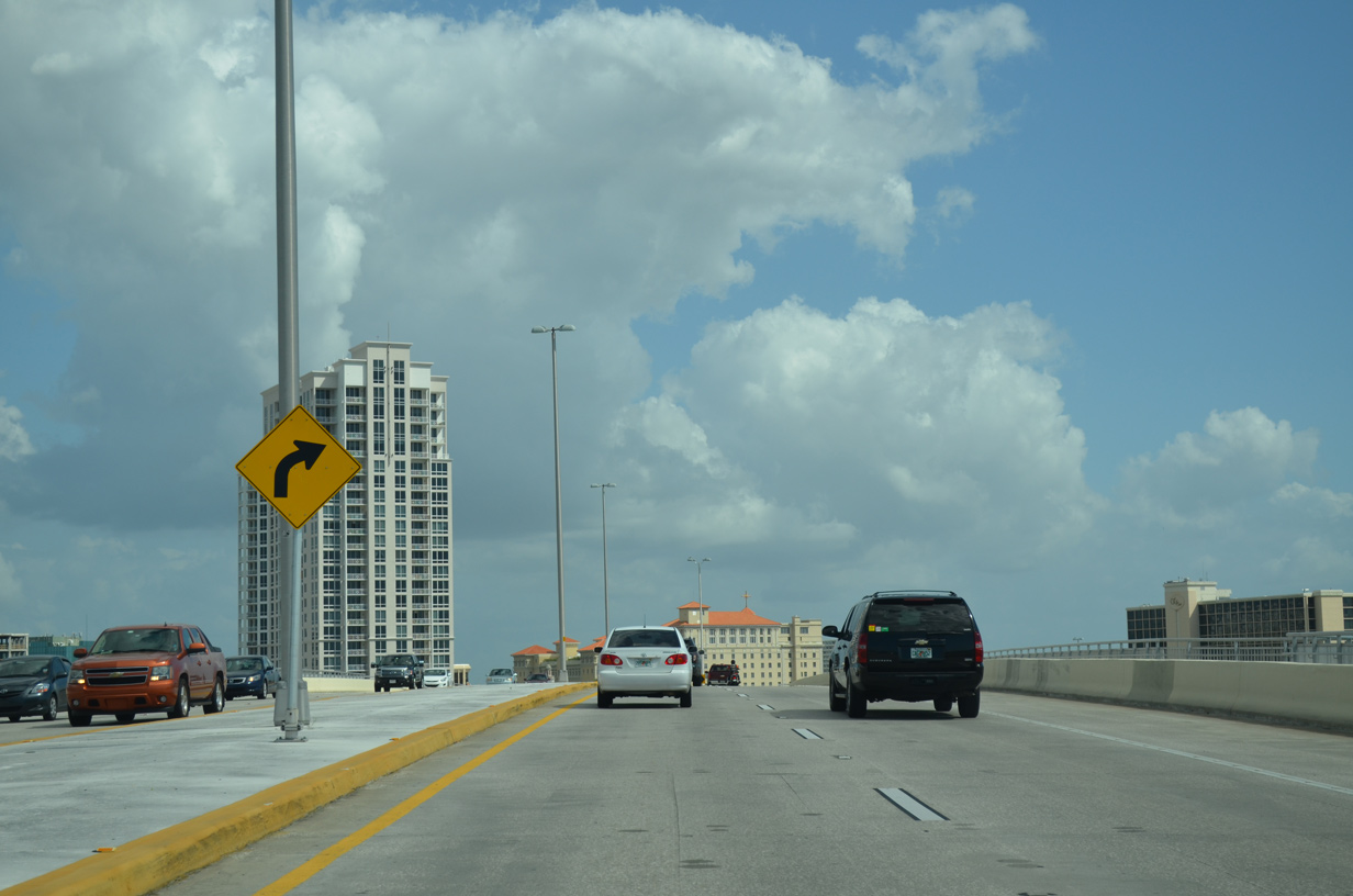
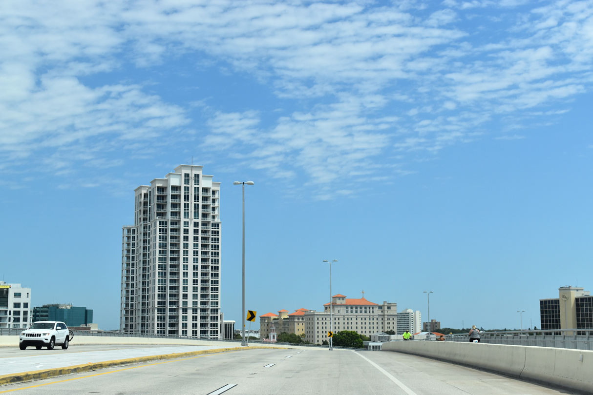
SR 60 curves southeast along a man-made island from Mandalay Channel to the Intracoastal Waterway.
03/11/15
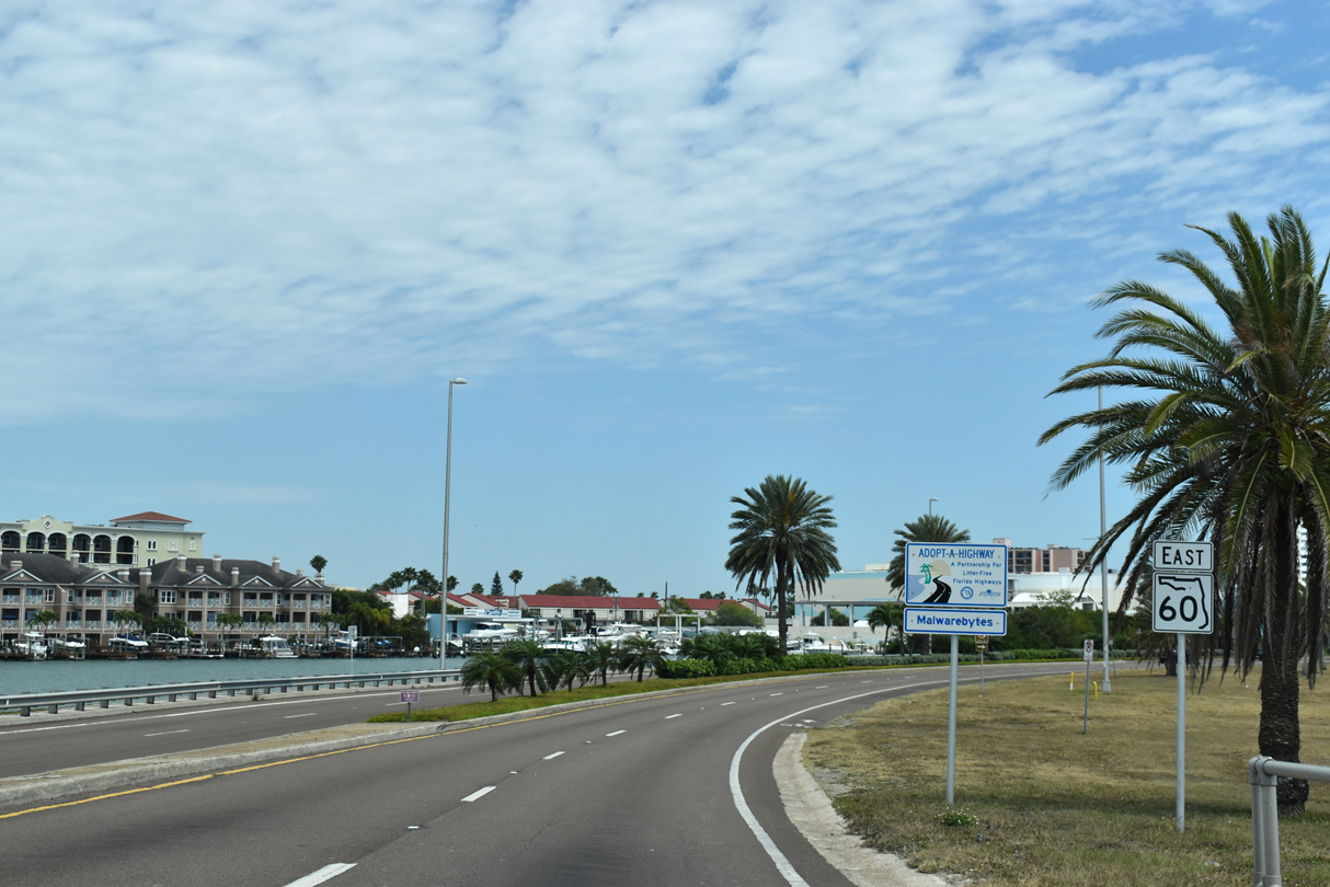
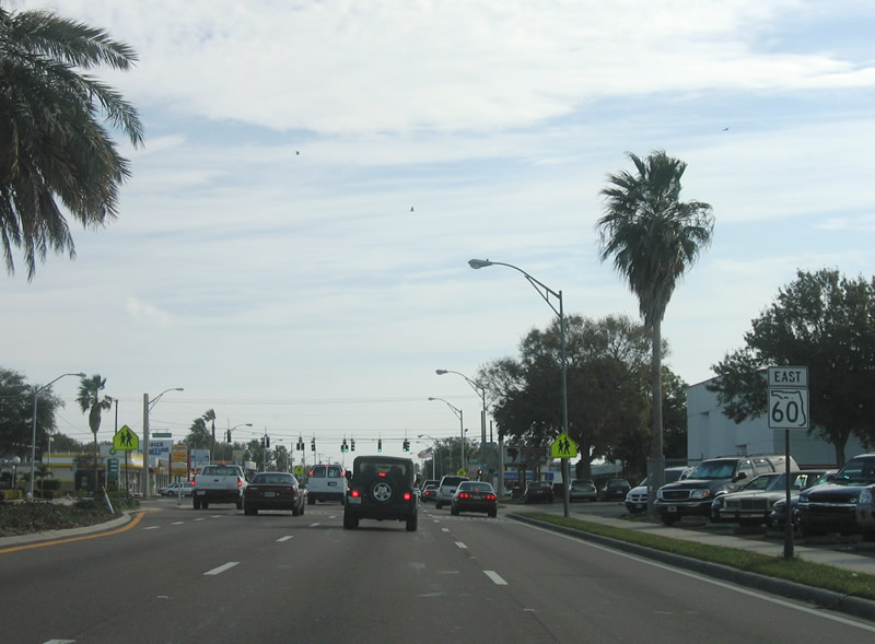
The first confirming marker for SR 60 appears just east of the Mandalay Channel bridge. Memorial Causeway expands to include a landscaped median along this stretch.
04/03/20
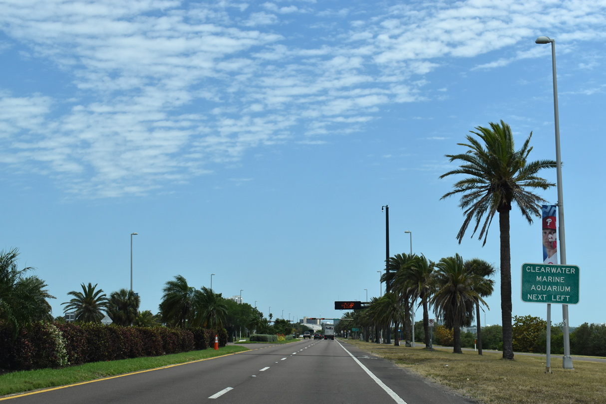
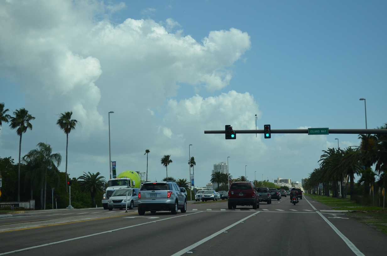
Forthcoming Island Way stems north from SR 60 (Memorial Causeway) onto Harbor Island. The island chain is home to Clearwater Marine Aquarium, which lines the waterside just to the north.
04/03/20
Island Way provides the sole connection to a series of finger like residential islands between Clearwater Harbor and Mandalay Channel.
03/11/15
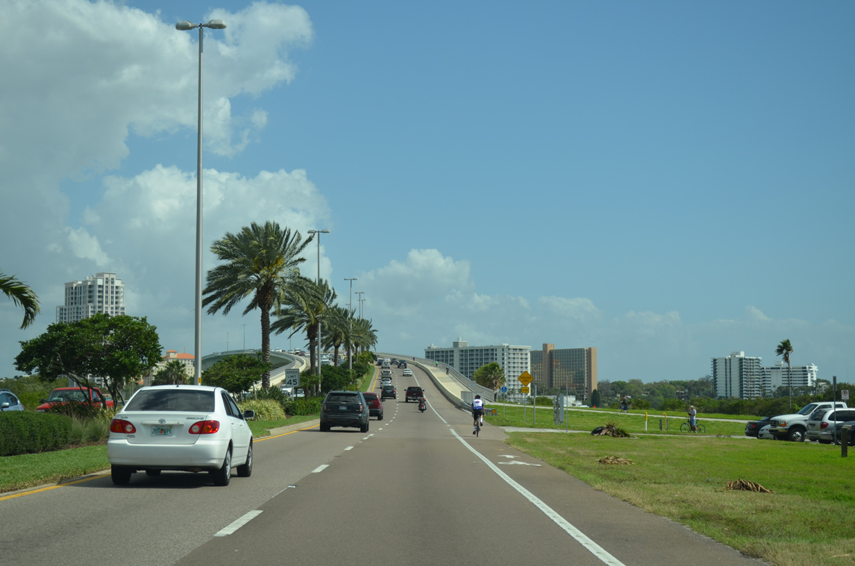
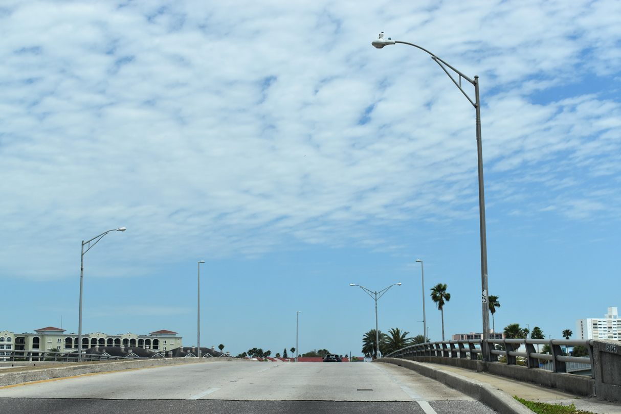
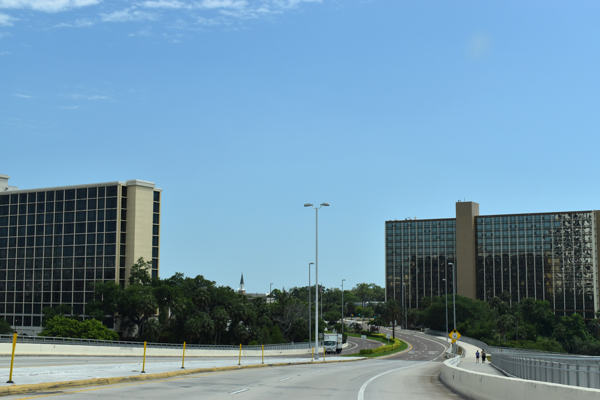
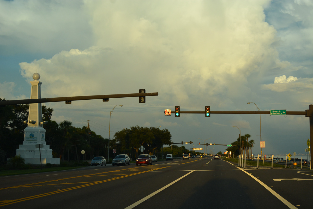
SR 60 next rises onto the Memorial Causeway Bridge spanning the Intracoastal Waterway into Downtown Clearwater.
03/11/15
The Memorial Causeway Bridge was constructed from December 2002 to August 2005. The 2,340-foot long bridge cost $69.3 million.1
04/03/20
The Memorial Causeway Bridge includes bicycle/pedestrian walkways on each side of the span while four lanes with full shoulders are provided for motorists.
03/11/15
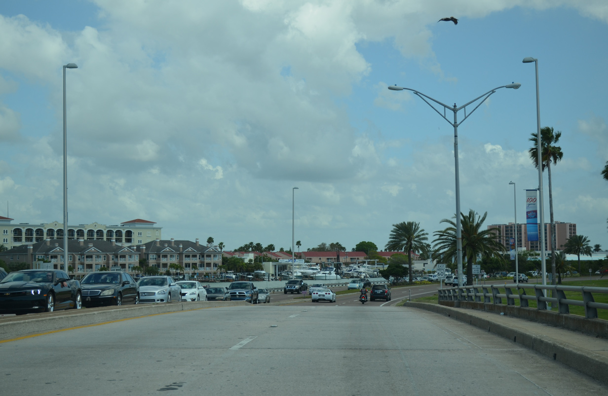
High rises from Downtown Clearwater appear prominently to the east of SR 60 as the Memorial Causeway Bridge turns south to Chestnut and Court Streets.
04/03/20
The old Memorial Causeway Bridge tied into Cleveland Street just to the east of this scene as a low rise draw bridge. It was dismantled by the end of 2006, with its debris taken to a reef 12 miles offshore in the Gulf of Mexico.1
04/03/20

SR 60 transitions from Memorial Causeway onto Chestnut Street through Downtown Clearwater. Westbound traffic utilizes Court Street one block to the north.
04/03/20
This SR 60 shield posted ahead of Oak Avenue was replaced with a new shield in 2017 and then replaced again in Summer 2019 with a 30 mile per hour speed limit sign.
03/11/15
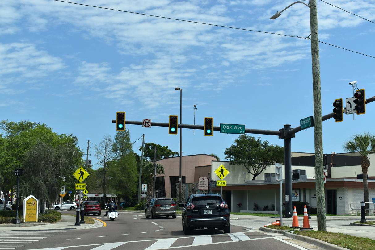
Oak Avenue intersects SR 60 (Chestnut Street) south from Court Street and the Pinellas County Parking Garage. The local street continues from SR 60 to Druid Road.
04/03/20
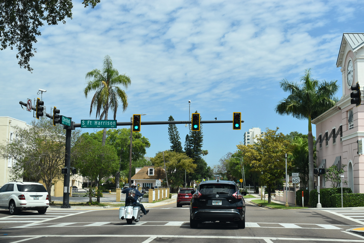
Fort Harrison Avenue meets SR 60 (Chestnut Street) east at the subsequent traffic signal. The three lane boulevard was a part of U.S. 19 Alternate until 2007, when it was realigned eastward to Missouri Avenue.
04/03/20
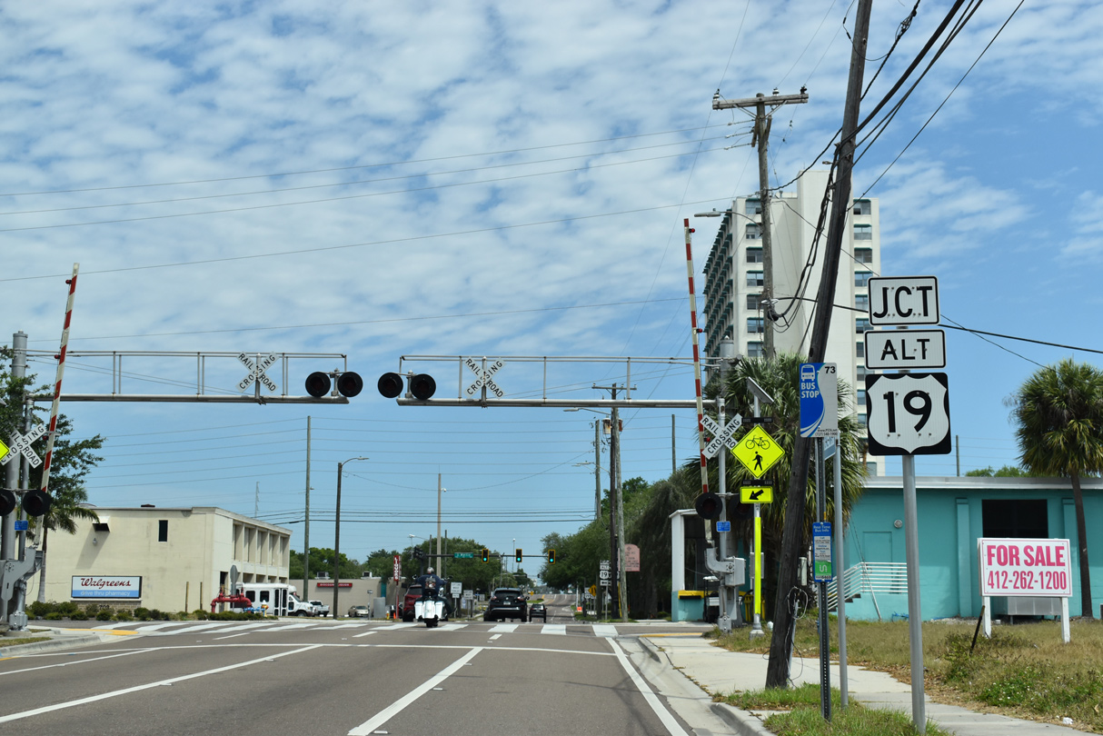
Approaching U.S. 19 Alternate (Myrtle Avenue), SR 60 crosses a CSX Railroad line that runs down the middle of East Avenue.
04/03/20
U.S. 19 Alternate follows Myrtle Avenue north from SR 60 to overtake Fort Harrison Avenue north to Edgewater Drive through Dunedin.
04/03/20
 South East
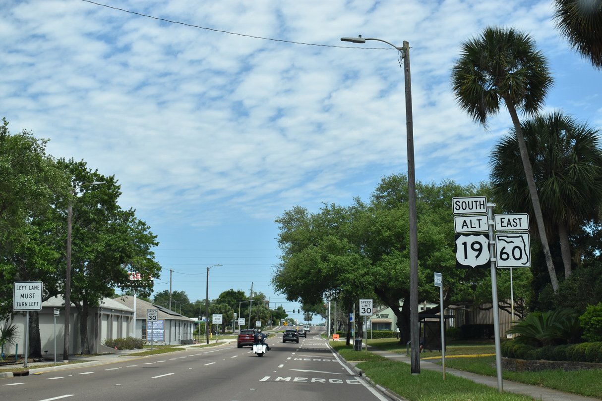
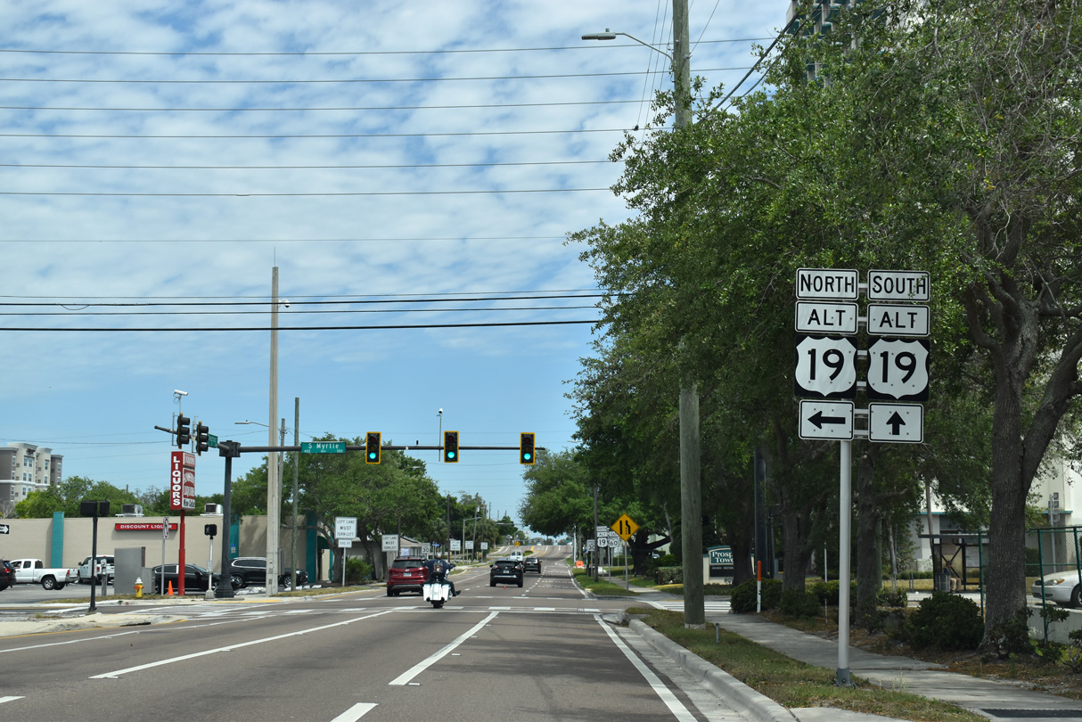
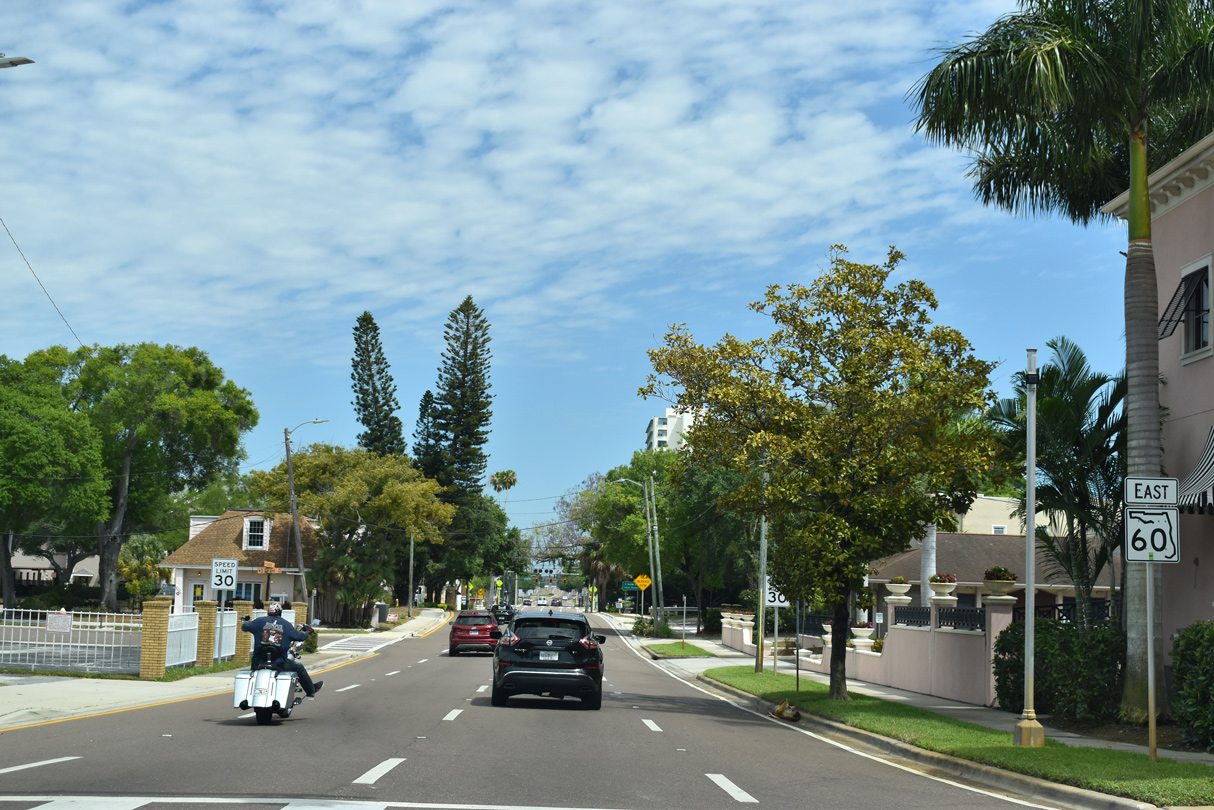
U.S. 19 Alternate/SR 60 combine east along Chestnut Street for 0.51 miles. U.S. 19 ALT was realigned in 2007 to bypass Downtown Clearwater.
04/03/20
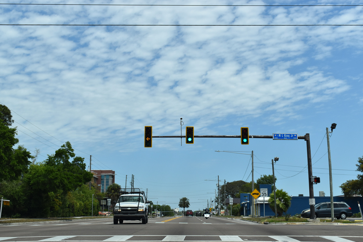
The separate roadways for U.S. 19 ALT and SR 60 along Court and Chestnut Streets converge ahead of Martin Luther King, Jr. Drive.
04/03/20

U.S. 19 ALT separates from SR 60 (Court Street) east at Missouri Avenue.
04/03/20
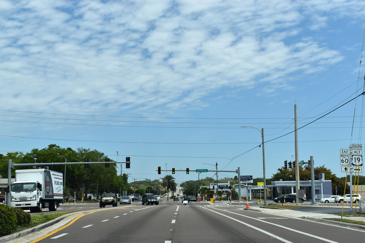
Missouri Avenue constitutes a six lane commercial arterial taking U.S. 19 ALT south to SR 686 (E Bay Drive) and Seminole Boulevard in Largo. U.S. 19 ALT continues to Seminole, Bay Pines and St. Petersburg.
04/03/20
East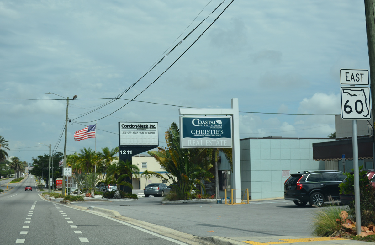
SR 60 confirming marker posted beyond the split with U.S. 19 Alternate at Missouri Avenue.
05/04/19
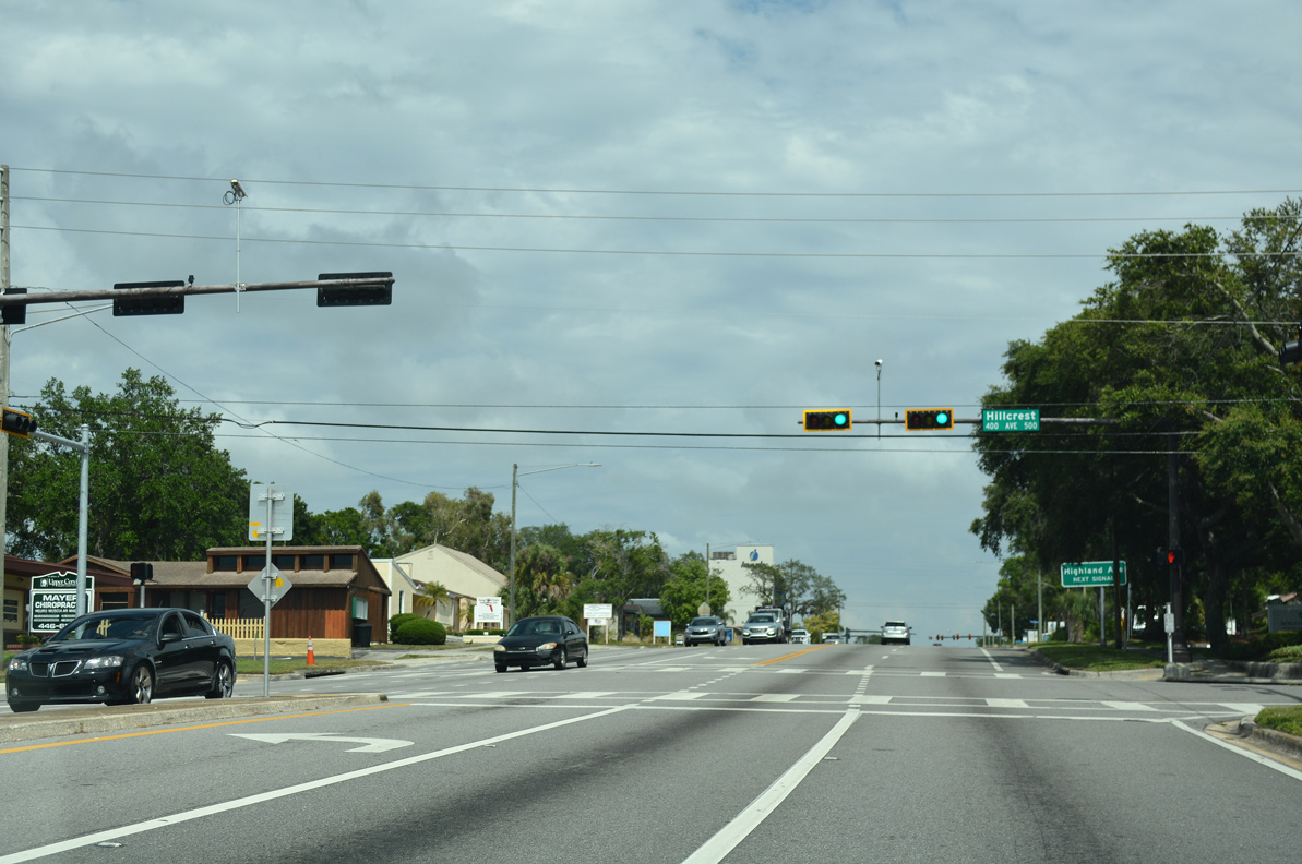
SR 60 (Court Street) east at Glen Oaks Park and Hillcrest Avenue.
05/04/19
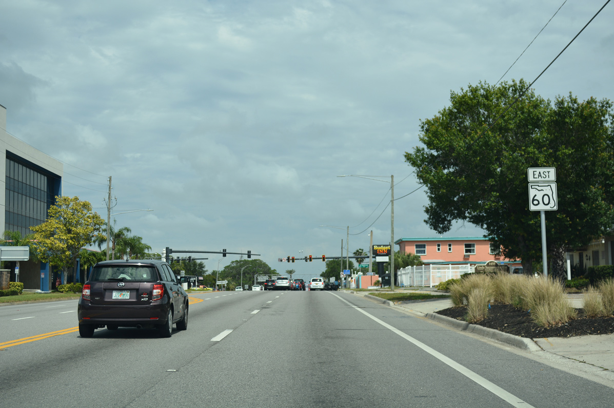
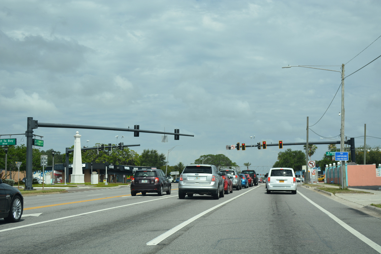
SR 60 converges with Gulf to Bay Boulevard at a five way intersection with Highland Avenue at the succeeding traffic light.
05/04/19
Gulf to Bay Boulevard angles northwest from Highland Avenue to Cleveland Street along the former alignment of SR 60.
05/04/19
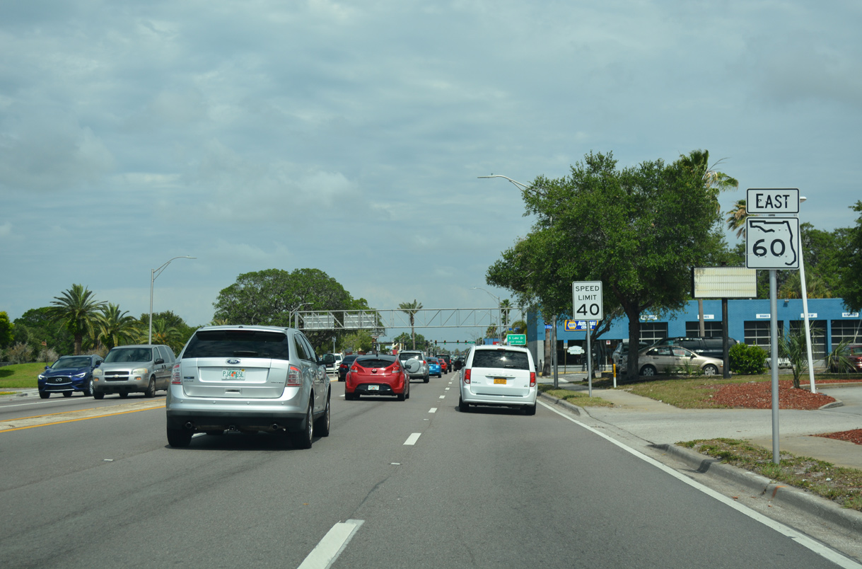
SR 60 continues east along Gulf to Bay Boulevard by Crest Lake Park.
05/04/19
SR 60 (Gulf to Bay Boulevard) east at Lake Drive. Lake Drive travels north by Crest Lake Park to SR 590 (Drew Street) and south as unsigned Pinellas County Road 385 to McMullen Road in Largo.
05/04/19
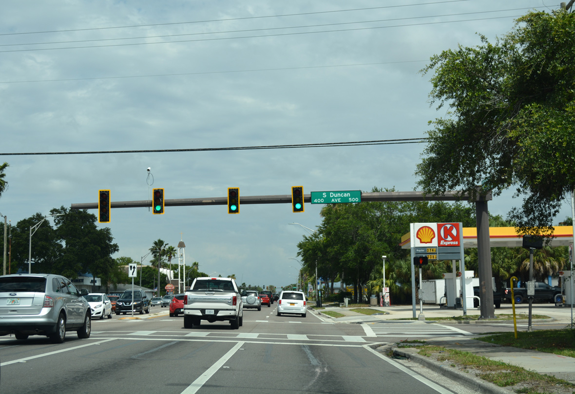
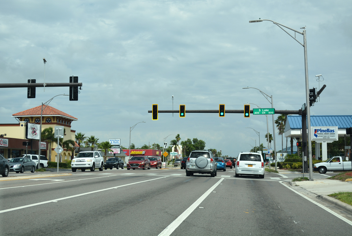
Gulf to Bay Boulevard east at Duncan Avenue.
05/04/19
Eastbound reassurance shield posted ahead of Pinellas County Road 1 (Keene Road).
01/02/06
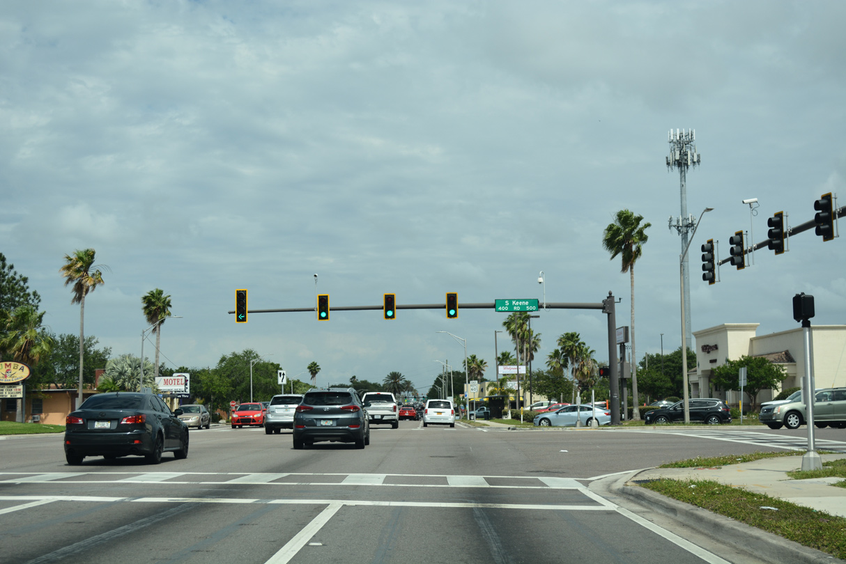
Keene Road (CR 1) constitutes a six lane arterial route leading north to Dunedin and south to Largo.
05/04/19
Confirming marker posted after County Road 1 (Keene Road).
05/04/19
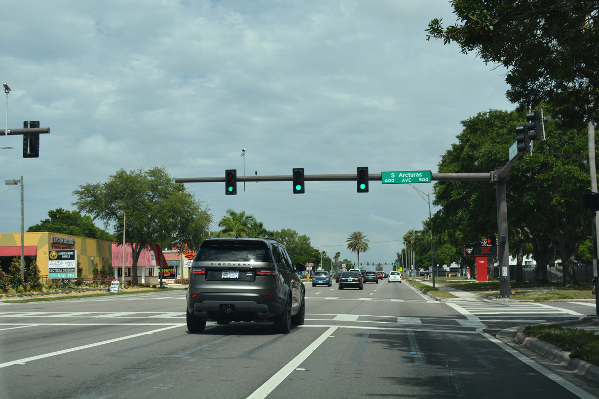
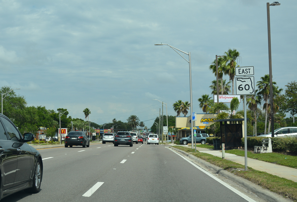
Arcturas Avenue intersects SR 60 by Clearwater High School.
05/04/19
This shield assembly preceding Hercules Avenue was removed by 2018.
01/02/06
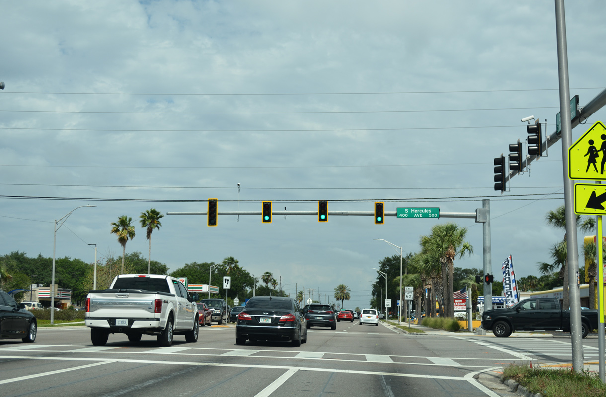
Hercules Avenue (CR 425) leads south to a subdivision beyond Lakeview Road in Clearwater and north to Greenbriar Boulevard and Belcher Road within unincorporated Pinellas County.
05/04/19
Gulf to Bay Boulevard advances east from Hercules Avenue (CR 425) through a heavily commercialized stretch.
05/04/19
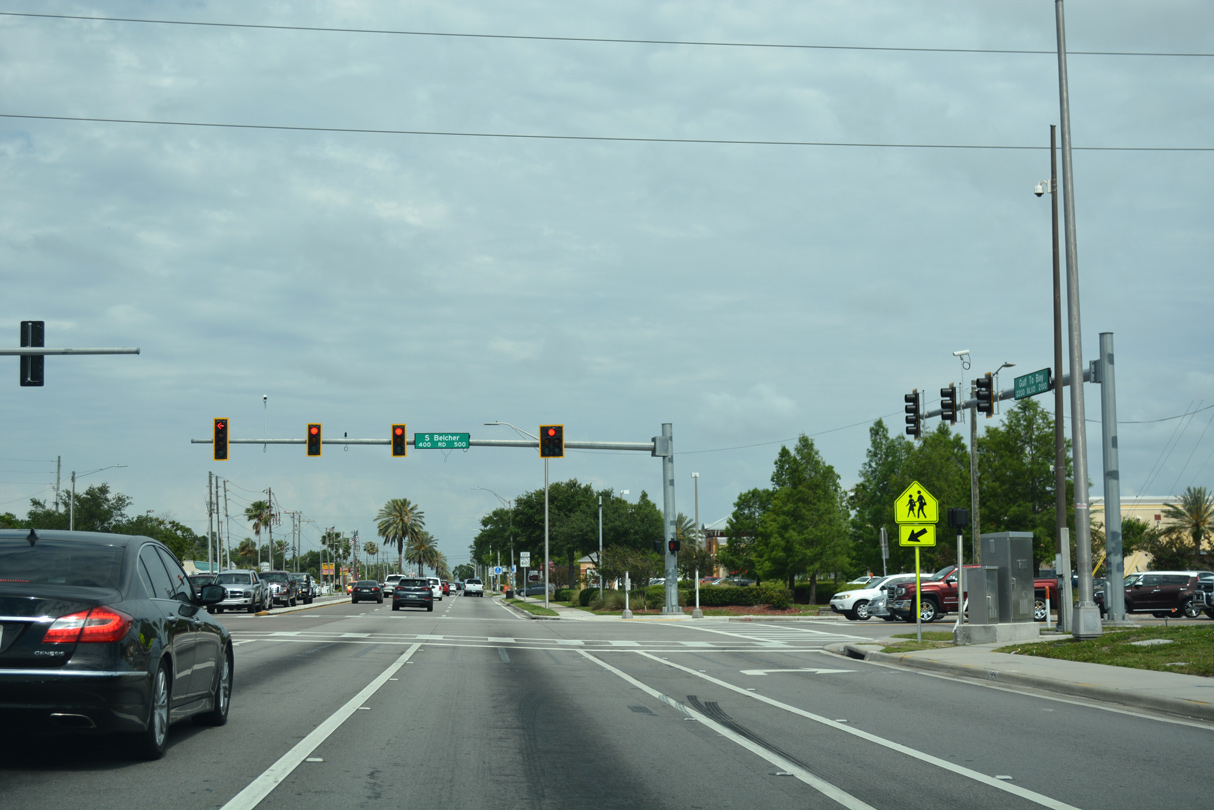
Pinellas County Road 501 follows Belcher Road, a major arterial route joining Clearwater with Largo and Pinellas Park.
05/04/19
Continuing east from Belcher Road (CR 501), SR 60 passes between several manufactured home communities.
05/04/19
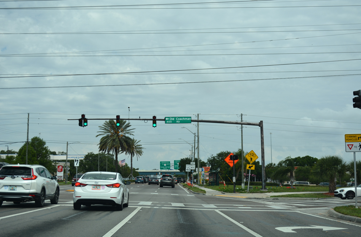
Old Coachman Road (CR 535) stems north from SR 60 (Gulf to Bay Boulevard) to St. Petersburg College - Clearwater Campus, Spectrum Field and SR 590 at Coachman.
05/04/19
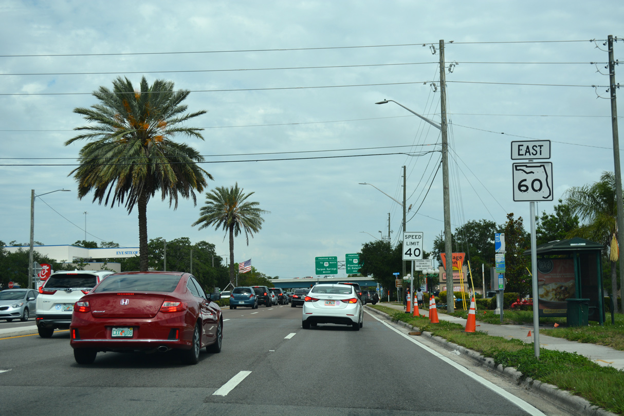
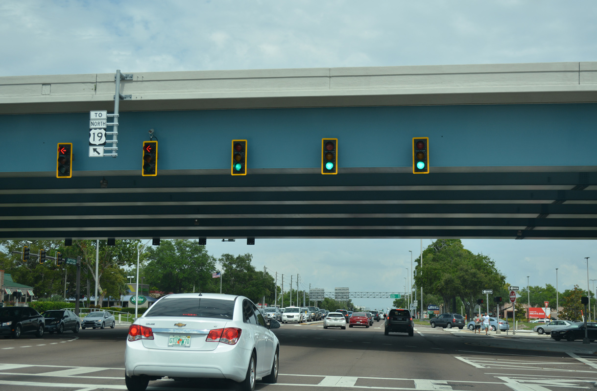
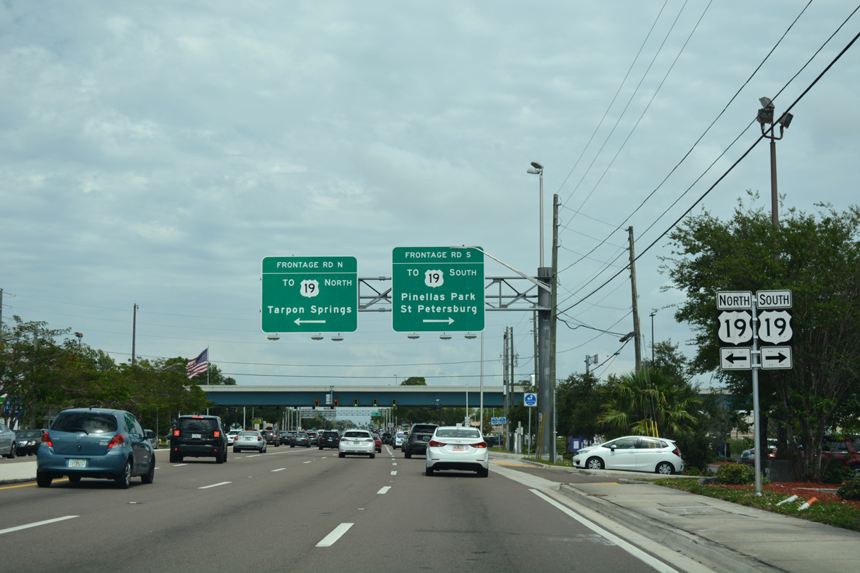
A single point urban interchange joins SR 60 with U.S. 19 just east of Old Coachman Road.
05/04/19
U.S. 19 constitutes an urban freeway north to Evans Road at Countryside and south to Pinellas County Road 611 (49th Street) in Pinellas Park. The arterial route was upgraded in stages from the mid 2000s to 2015.
05/04/19
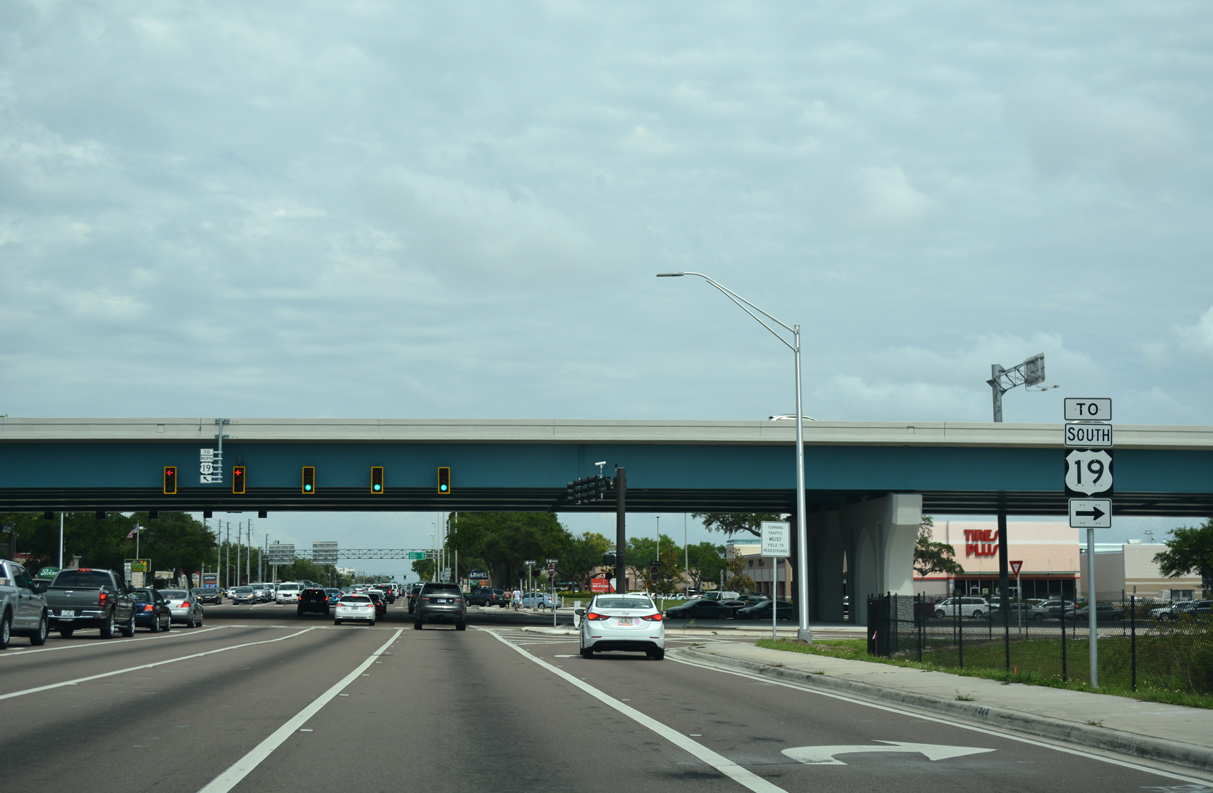
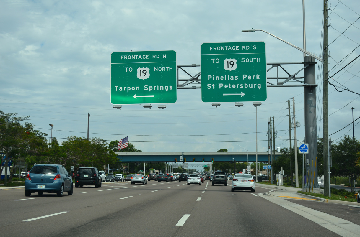
Frontage roads link traffic from SR 60 (Gulf to Bay Boulevard) to the freeway along U.S. 19. U.S. 19 leads south into east Largo and east Pinellas Park.
Road construction underway in 2011-15 rebuilt the U.S. 19 overpasses and added turn lanes from Gulf to Bay Boulevard to the freeway frontage roads.
05/04/19
U.S. 19 extends north from Countryside to Dunedin, Tarpon Springs and New Port Richey.
05/04/19
Leaving the exchange with U.S. 19, SR 60 passes by Clearwater Mall in east Clearwater.
05/04/19
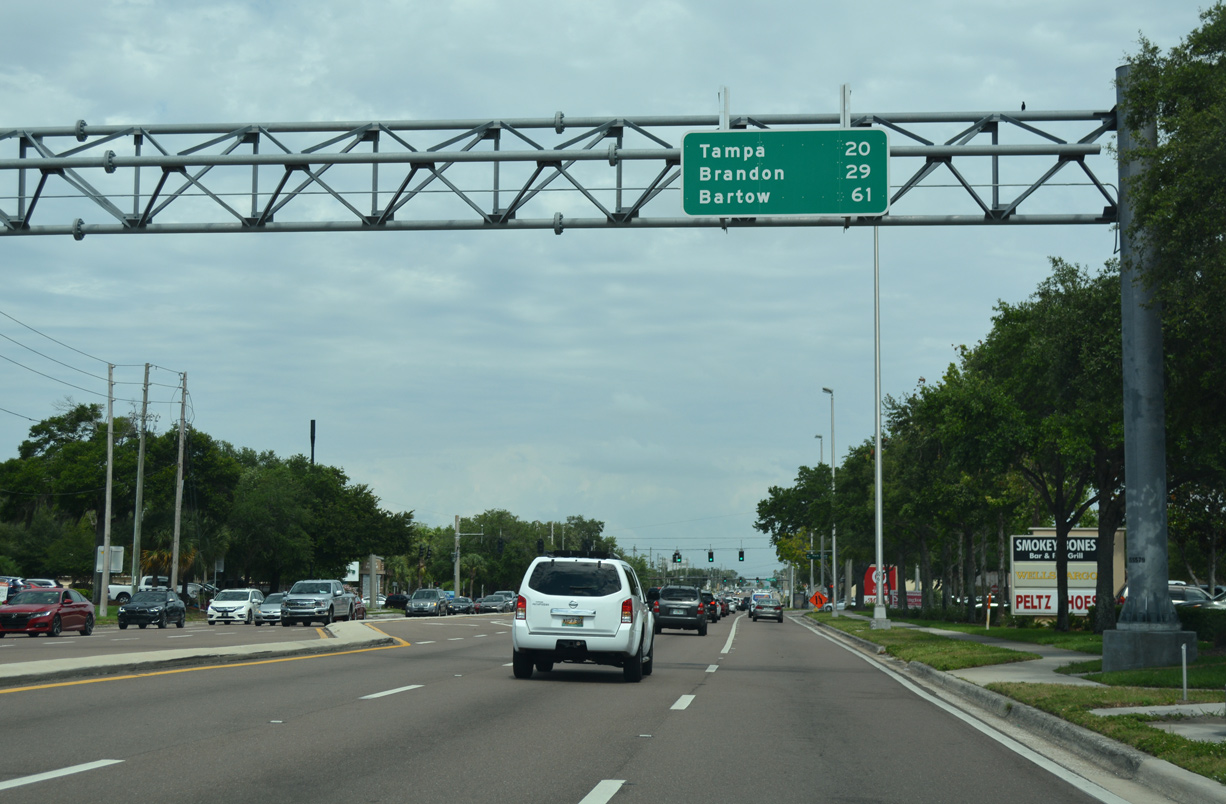
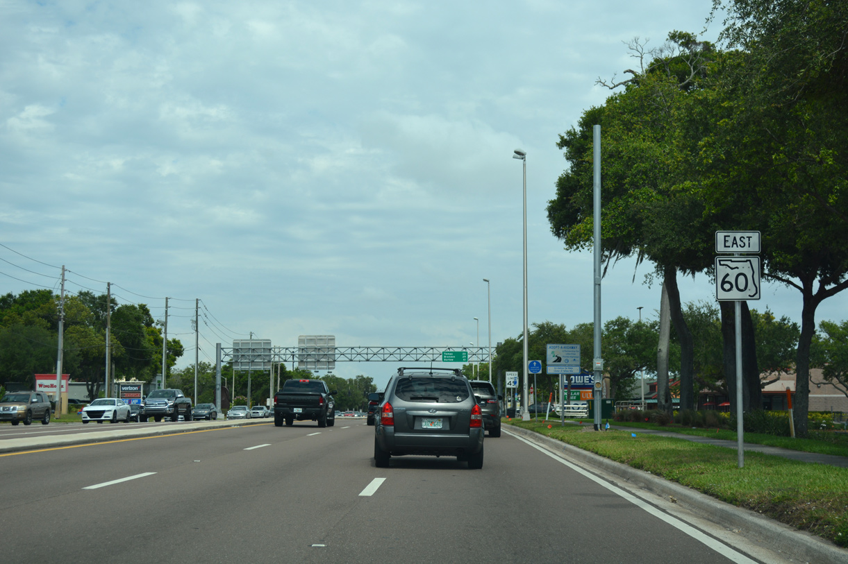
The first distance sign for SR 60 east appears by Clearwater Mall 20 miles from Downtown Tampa and 61 miles from the Polk County seat of Bartow.
05/04/19
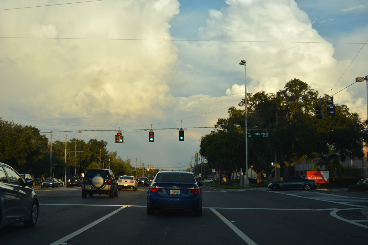
Park Place Boulevard stems north from the main entrance to Clearwater Mall as a local boulevard connecting an adjacent office park with Drew Street.
10/01/16
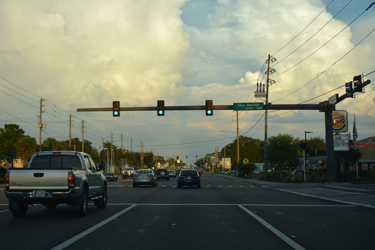
Sky Harbor Drive ties into Gulf to Bay Boulevard at the east entrance to Clearwater Mall retail center. Formerly an enclosed shopping mall, Clearwater Mall was demolished by the early 2000s. The site is now a big box store power center.
10/01/16
Hampton Road follows at the ensuing eastbound signal, leading north from SR 60 to Drew Street at an elementary school.
10/01/16
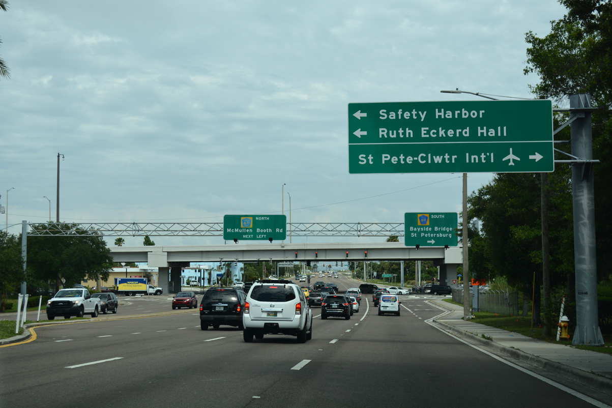
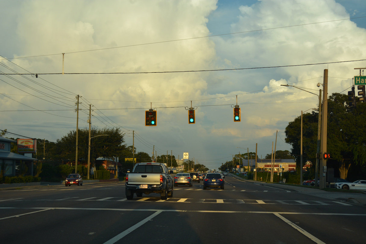
SR 60 enters an exchange with CR 611 just prior to Courtney Campbell Causeway across Old Tampa Bay. A supplemental sign outlines the connections with Ruth Excerd Hall, Clearwater's performing arts center, and St. Petersburg-Clearwater International Airport (PIE), Pinellas County's main airport.
05/04/19
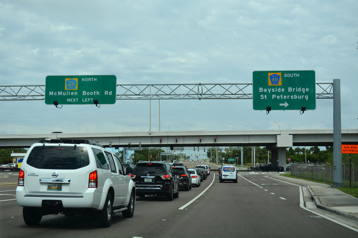
County Road 611 is a major route that extends north to Safety Harbor and East Lake and south via the Bayside Bridge to Pinellas Park. A single point urban interchange joins the north end of the Bayside Bridge freeway with SR 60 here.
05/04/19
SR 60 confirming marker posted after the SPUI with CR 611 and ahead of the traffic light with Bayshore Boulevard north.
10/01/16
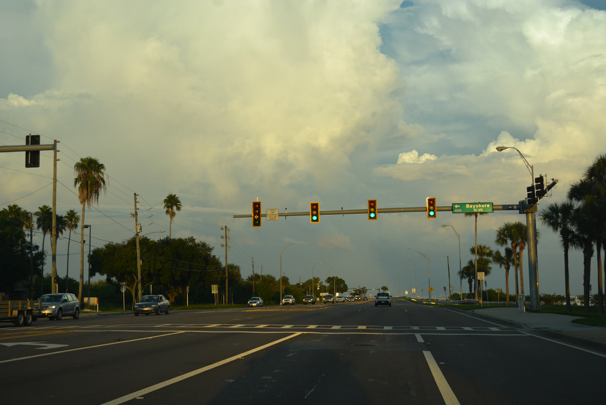
Bayshore Boulevard straddles the marshy areas of Coopers Bayou and Alligator Lake leading north to Downtown Safety Harbor.
10/01/16
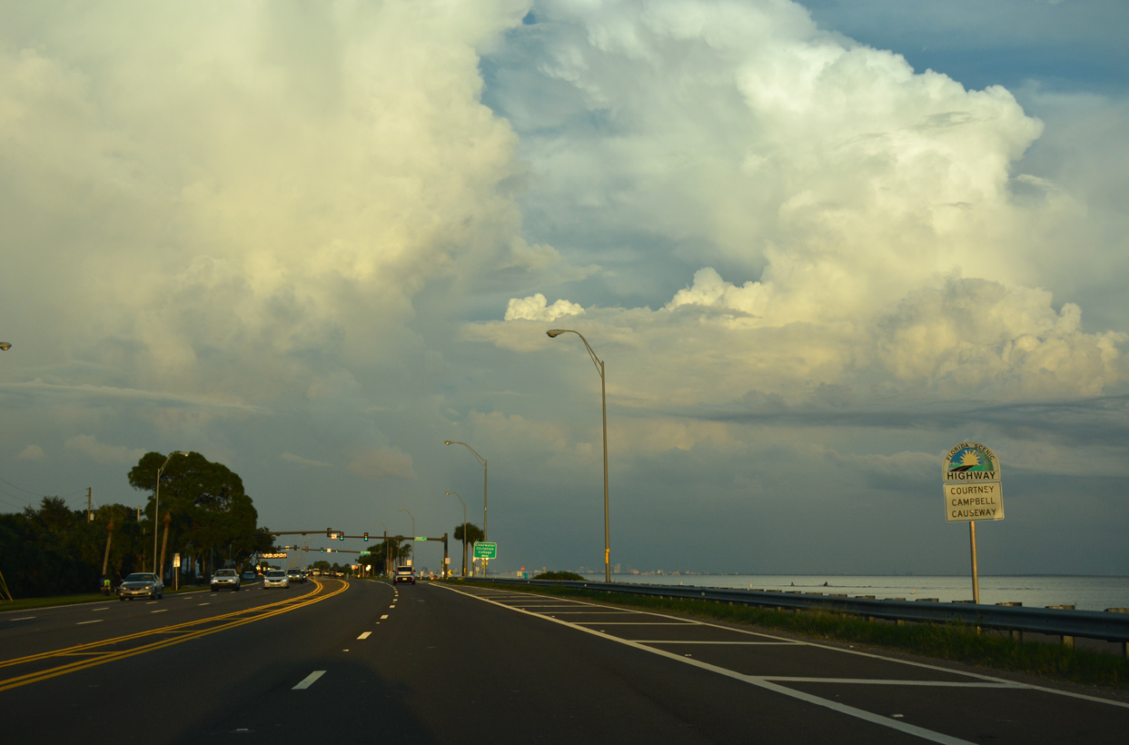
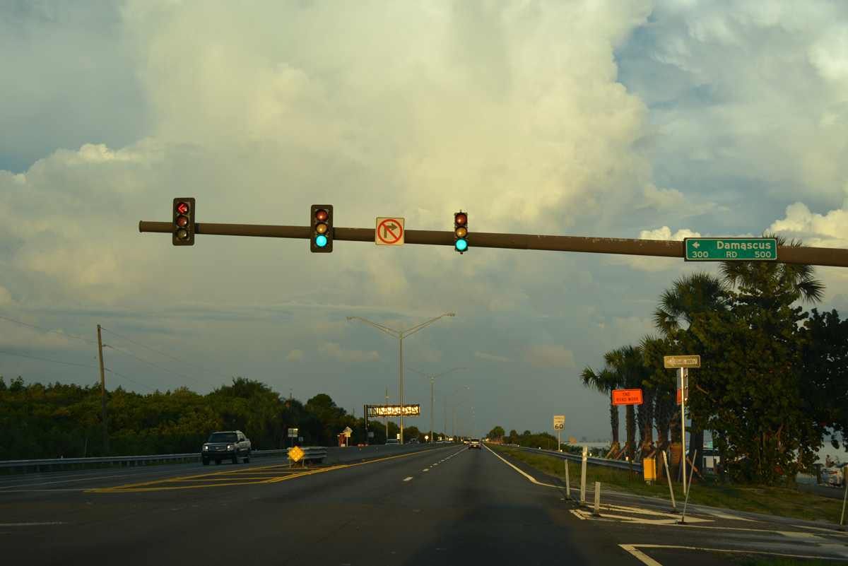
SR 60 commences across Old Tampa Bay via Courtney Campbell Causeway ahead of the traffic light with Damascus Road.
10/01/16
Separate traffic lights along SR 60 east at a beach access point and Dr. Kiran C. Patel Boulevard north to the Tampa Bay Regional Campus of Nova Southeastern University were consolidated into a single intersection in Spring 2020.
10/01/16

References:
- "New span done; old one to be torn down." St. Petersburg Times, August 20, 2005.
Photo Credits:
- ABRoads: 04/03/20
- Alex Nitzman, Chris Kalina: 03/11/15
- Alex Nitzman: 05/04/19
- AARoads: 01/02/06, 10/01/16
Connect with:
Page Updated Saturday June 06, 2020.