
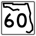
State Road 60 East - Courtney Campbell Causeway to Tampa

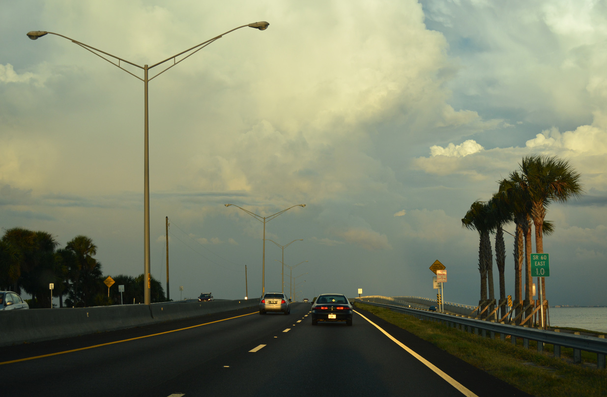
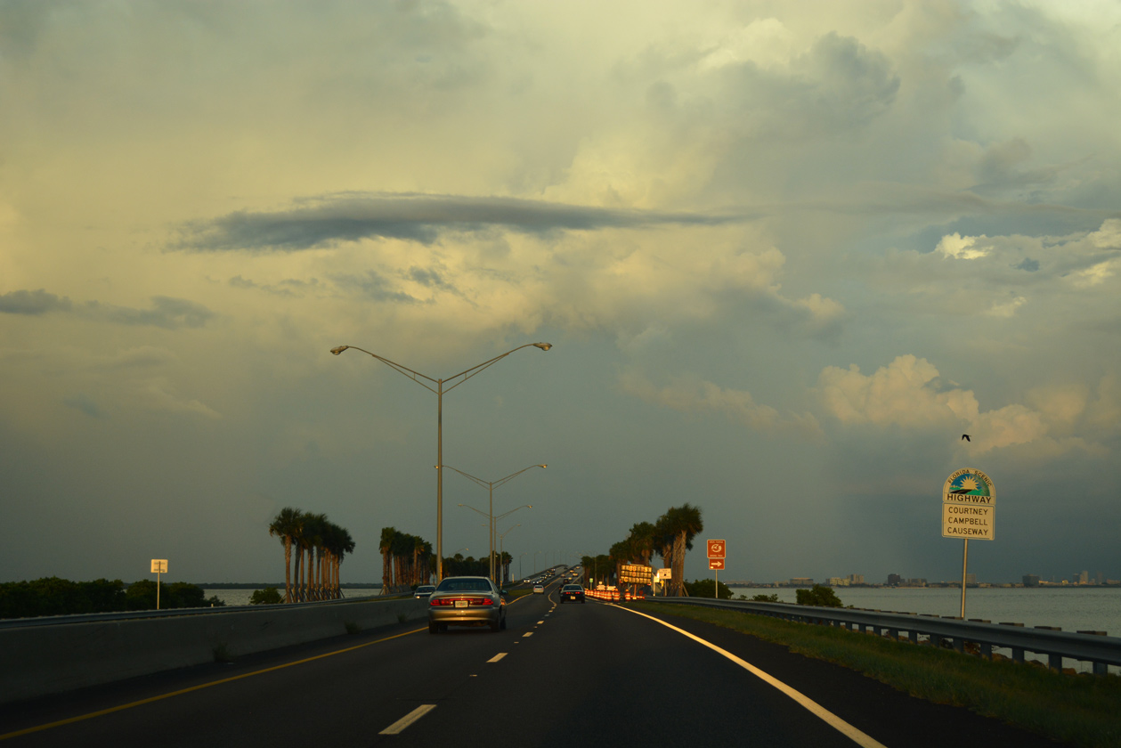
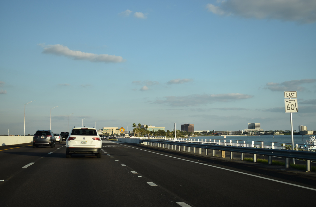
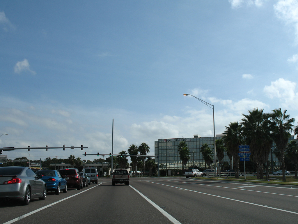
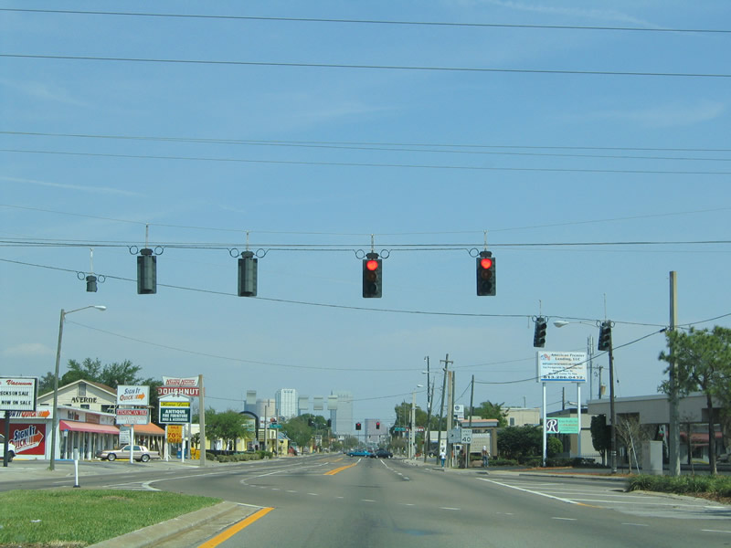
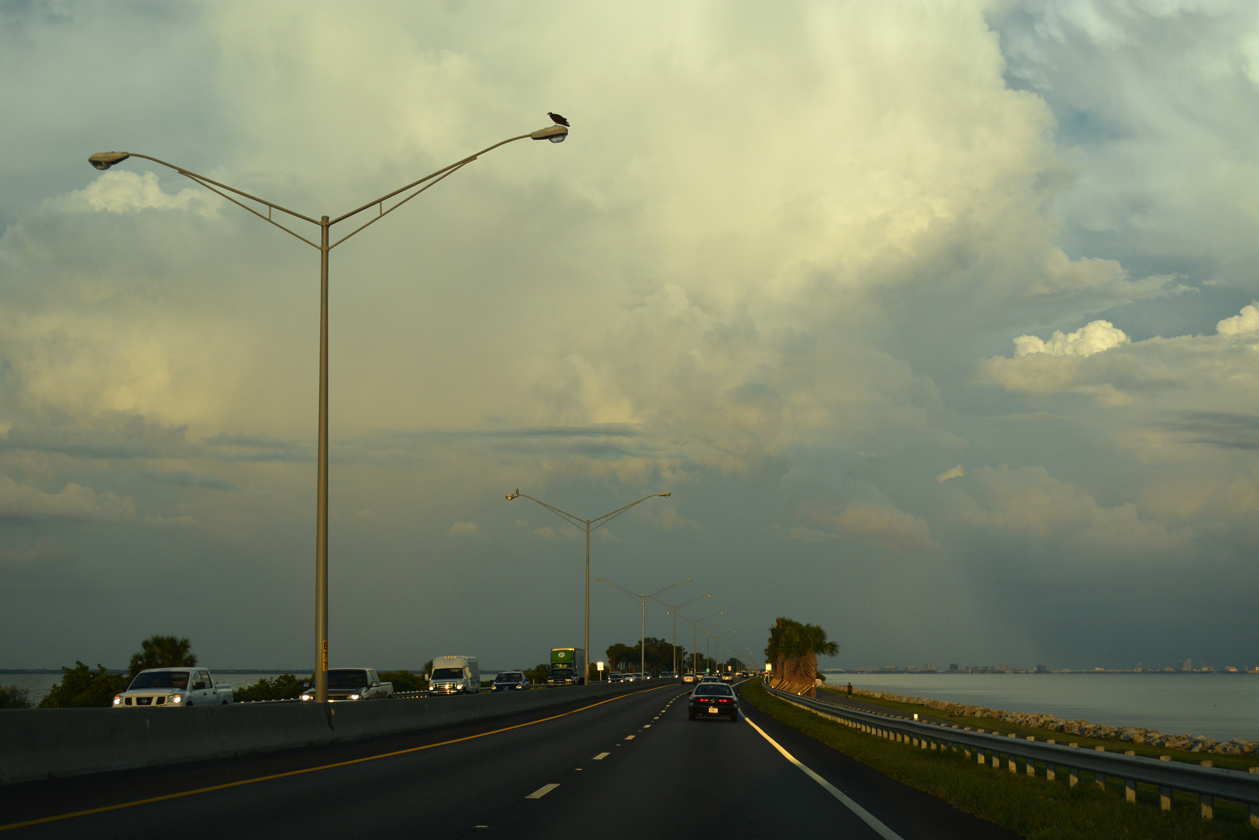
SR 60 narrows to four lanes along the Courtney Campbell Causeway (also referred to sometimes as Courtney Campbell Parkway). The four lane roadway acts as an expressway with a handful of beach access points along its eight mile course.
04/03/20
Narrow frontage roads originally lined both directions of the causeway, providing access to the water for fishing, picnicking, or swimming at Ben T. Davis Municipal Beach. The south side frontage road was replaced with Courtney Campbell Trail, a multi-use path spanning Old Tampa Bay.
10/14/22
10/01/16
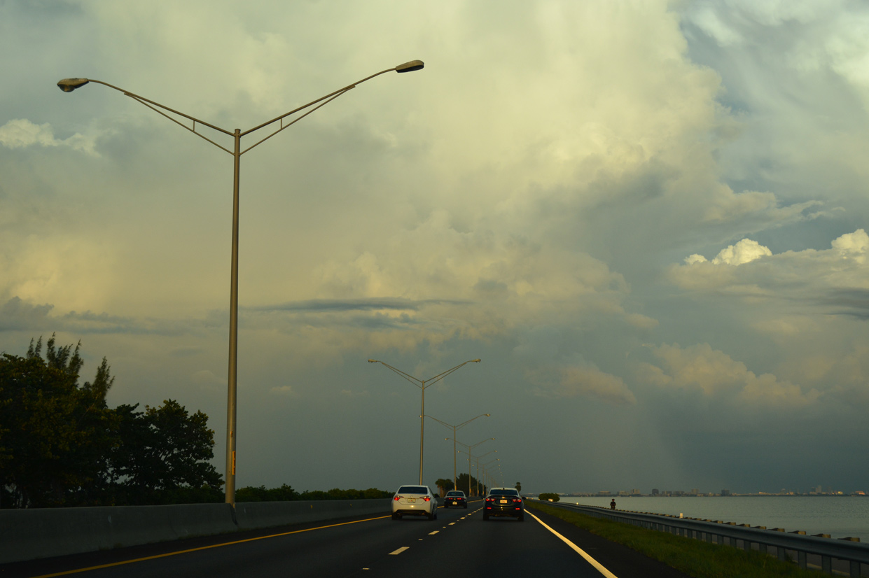
The barrier median separates traffic and allows drivers to use Courtney Campbell Causeway at higher speeds.
10/01/16
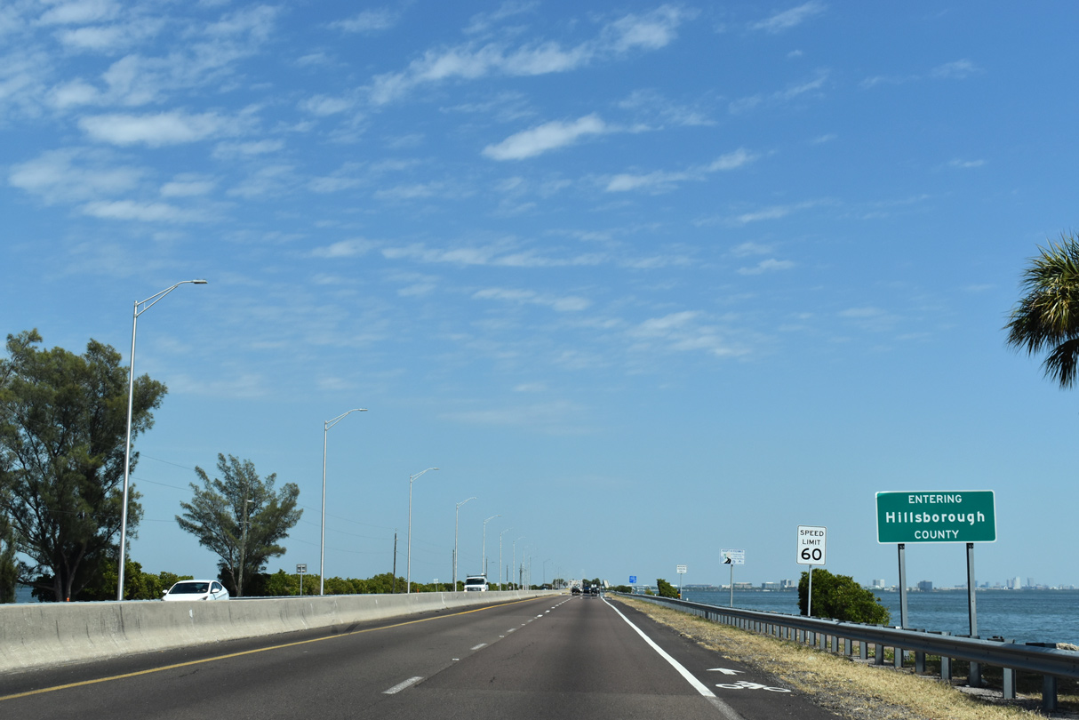
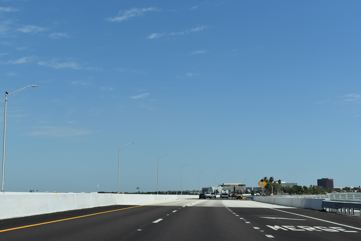
Midway across Old Tampa Bay is the Hillsborough County line.
10/14/22
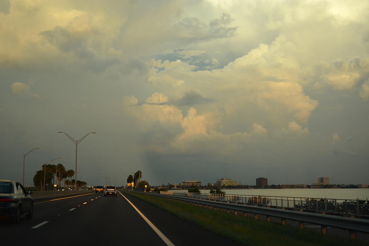
A handful of buildings rise along the eastern horizon from Rocky Point, an area of land jutting southward from Courtney Campbell Causeway in Tampa.
10/14/22
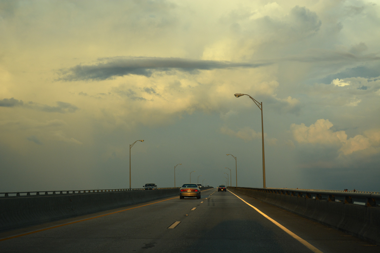
SR 60 ascends over the channel crossing of Old Tampa Bay at milepost 4.0.
10/14/22
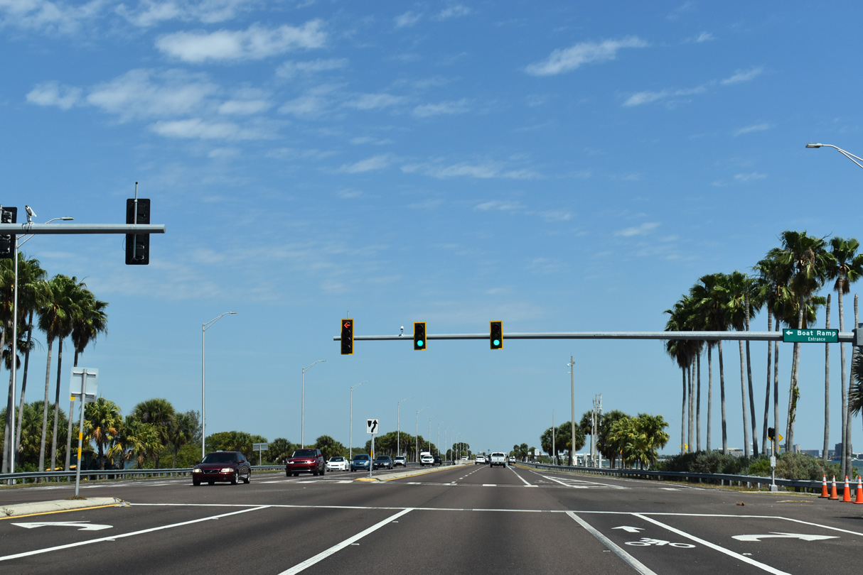
A traffic light operates at the Davis Municipal Beach parking areas adjacent to SR 60. A boat ramp, picnic pavilions and sandy beaches are available to the general public here.
10/14/22
Dedicated in 2013, Courtney Campbell Trail parallels the south side of SR 60 to Rocky Point.
10/01/16
A $12 million project constructed a bridge along SR 60 at a new a channel created across the narrow strip of land west of Rocky Point (WFLA TV-8, 2019).
10/14/22
Completed in June 2019, the project restores the tidal flow to northeastern reaches of Old Tampa Bay originally cut off by construction of Courtney Campbell Parkway (WFLA TV-8, 2019).
04/03/20
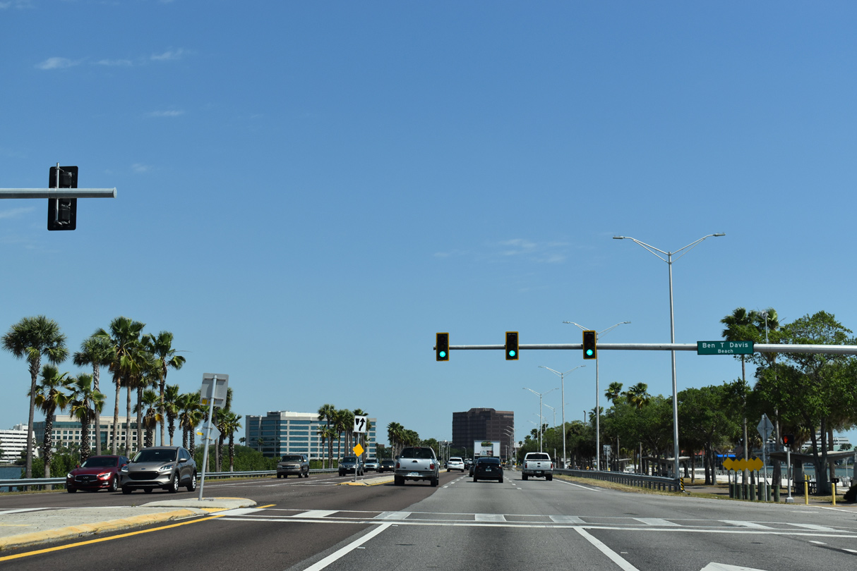
A second signalized intersection is at the east end of Ben T. Davis Municipal Beach.
10/14/22
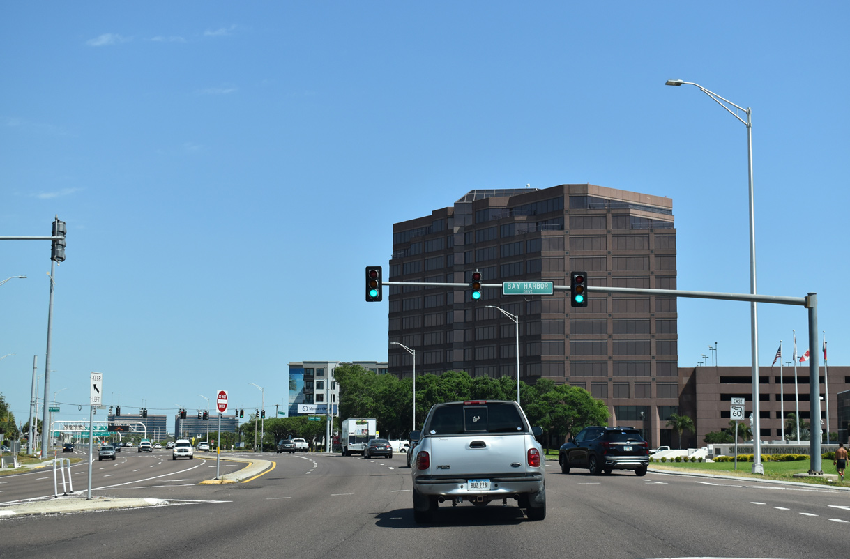
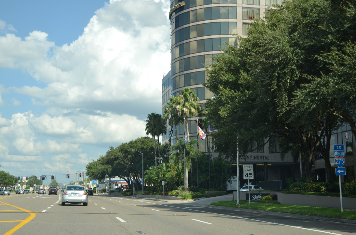
Bay Harbor Drive stems south from SR 60 (Courtney Campbell Causeway) to a hotel and restaurant.
10/14/22
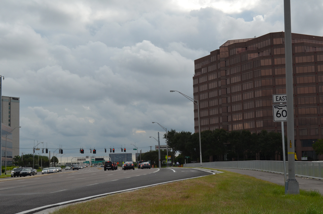
Reassurance marker for SR 60 east posted at Rocky Point.
Much of the land at Rocky Point was developed by George Steinbrenner, who was the owner of the New York Yankees baseball club.
10/14/22
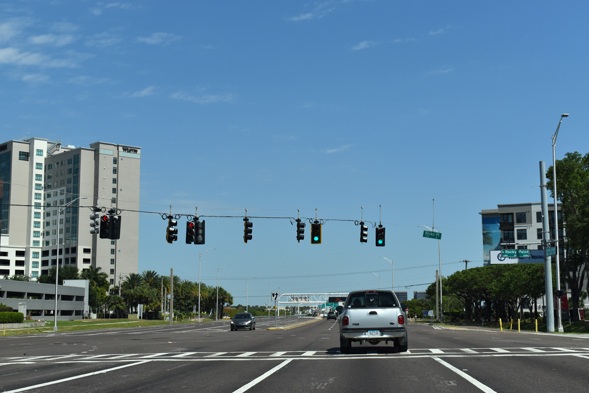
Rocky Point Drive crosses SR 60 at the second Rocky Point traffic light. This signal can cause significant traffic delays during the evening peak hours of traffic.
10/14/22
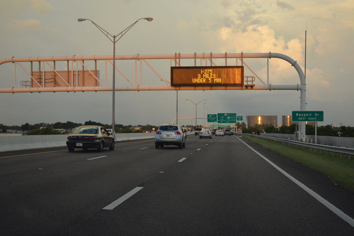
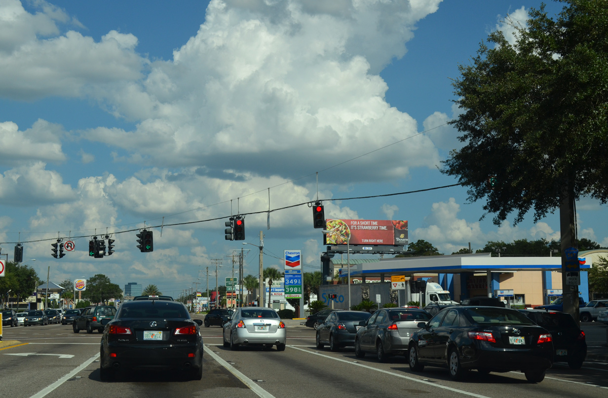
SR 60 expands to six overall lanes from Rocky Point to Memorial Highway. A folded diamond interchange is next with Bayport Drive, a local road to Bayport Plaza Business Complex.
10/14/22
Construction upgraded the east end of Courtney Campbell Causeway in conjunction with the $230 million Tampa Airport Interchanges project. The expansive work took place between August 15, 2005 and March 31, 2010 (FDOT, n.d.). It removed at-grade intersections at both Bayport Drive and Memorial Highway, where SR 60 meets the south end of Veterans Expressway (SR 589).
10/14/22
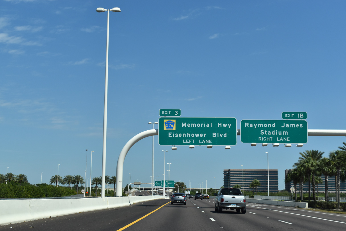
SR 60 was shifted northward to bypass the previous at-grade intersection with Bayport Drive. Continuing east, the freeway enters a directional T interchange with SR 589 (Veterans Expressway) north at Eisenhower Boulevard. Eisenhower Boulevard forms a frontage road system to the Veterans Expressway from Memorial Highway (CR 576) to Hillsborough Avenue (SR 580).
10/14/22
Reassurance marker posted ahead of the lane split for SR 589 north to Carrollwood, Northdale and Pasco County and the continuation of SR 60 east onto Memorial Highway by TPA Airport.
10/14/22
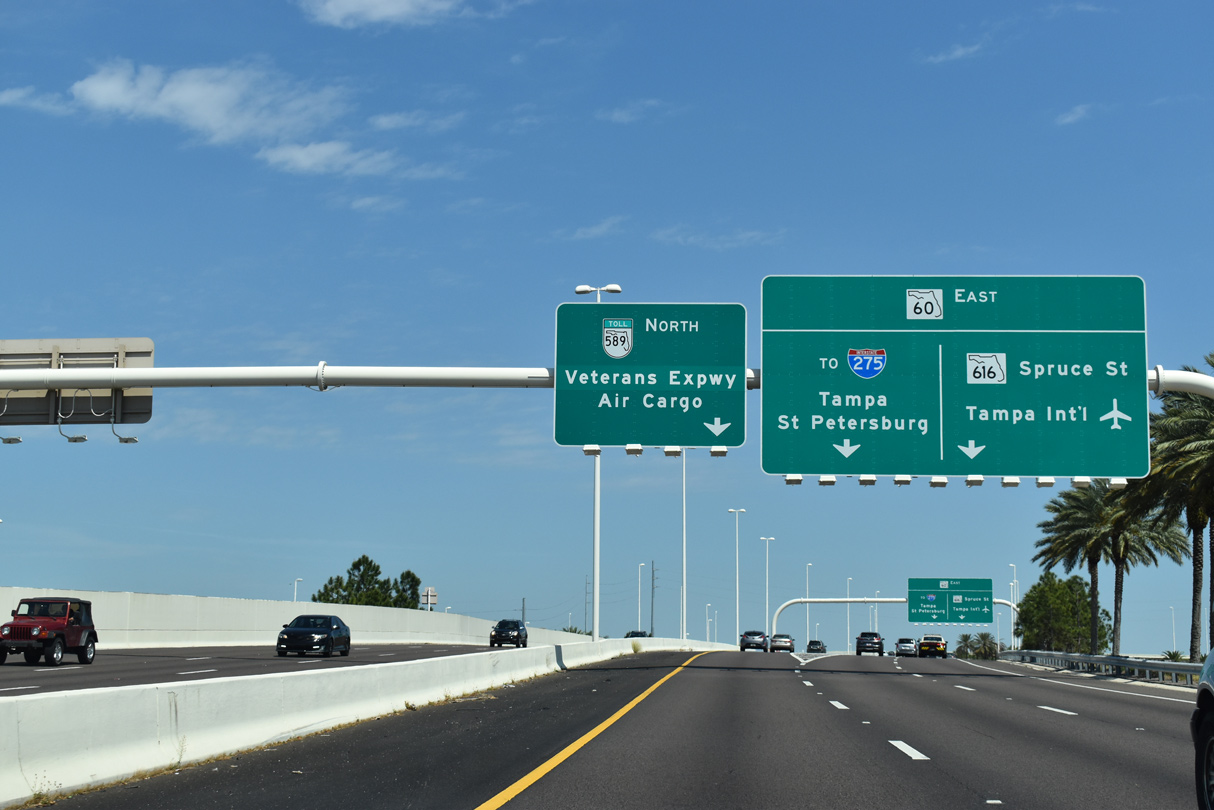
A left exit joins a collector distributor roadway to Eisenhower Boulevard north and SR 589 north. The Veterans Expressway winds northward through unincorporated suburban areas to SR 597 (Dale Mabry Highway) at Lutz. Connections with SR 580 (Hillsborough Avenue) east lead motorists to the air cargo facilities of TPA Airport.
10/14/22
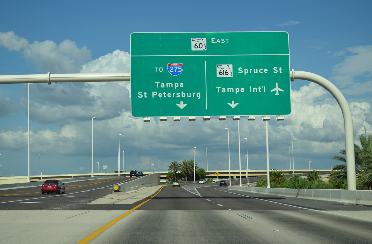
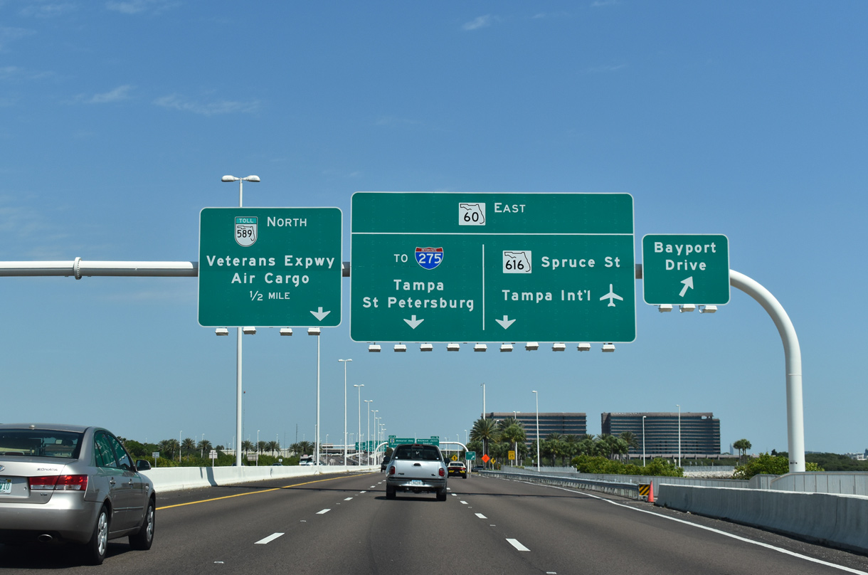
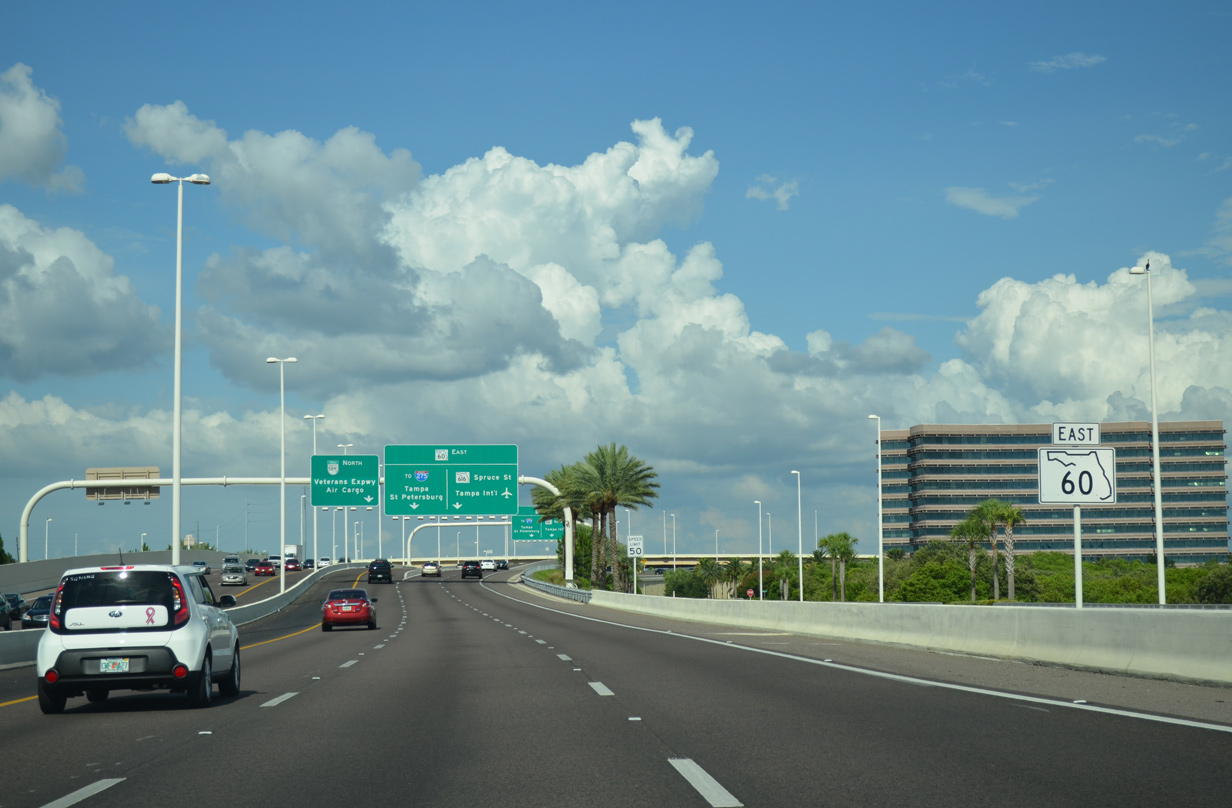
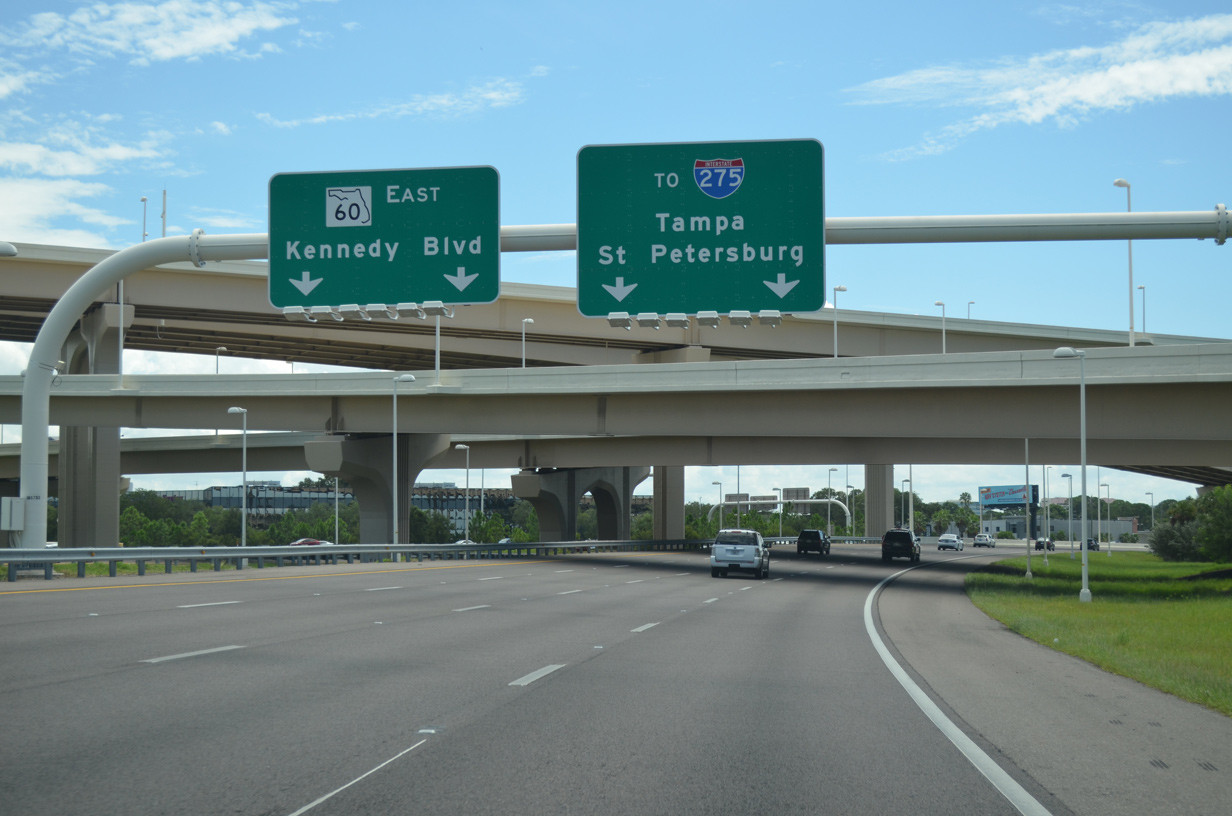
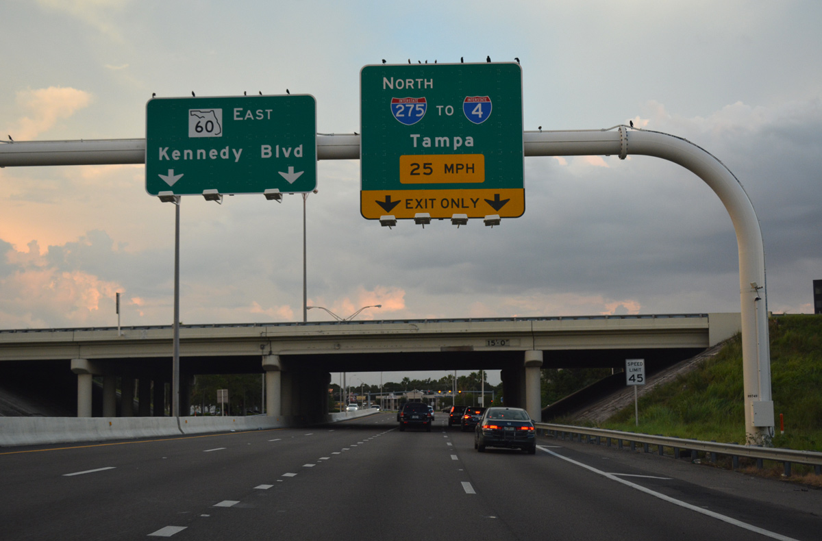
The SR 60 eastbound mainline separates into single lane ramps for the Memorial Highway freeway south to I-275 at Westshore in Tampa and the nearby ramps for both SR 616 (Spruce Street) east and George J. Bean Parkway north to Tampa International Airport (TPA).
10/14/22
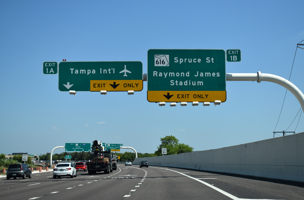
Ramps join both sides of the ending SR 589 as SR 60 overtakes Memorial Highway southeast through a four-level interchange with George J. Bean Parkway north and SR 616 (Spruce Street) east. Four lanes continue to I-275 at Westshore while three lanes depart for both Tampa International Airport (TPA) and SR 616 east to U.S. 92 (Dale Mabry Highway) near Raymond James Stadium.
03/11/26
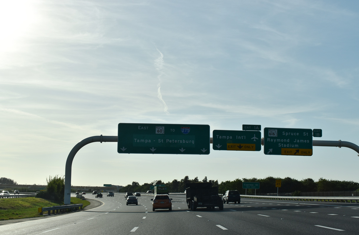
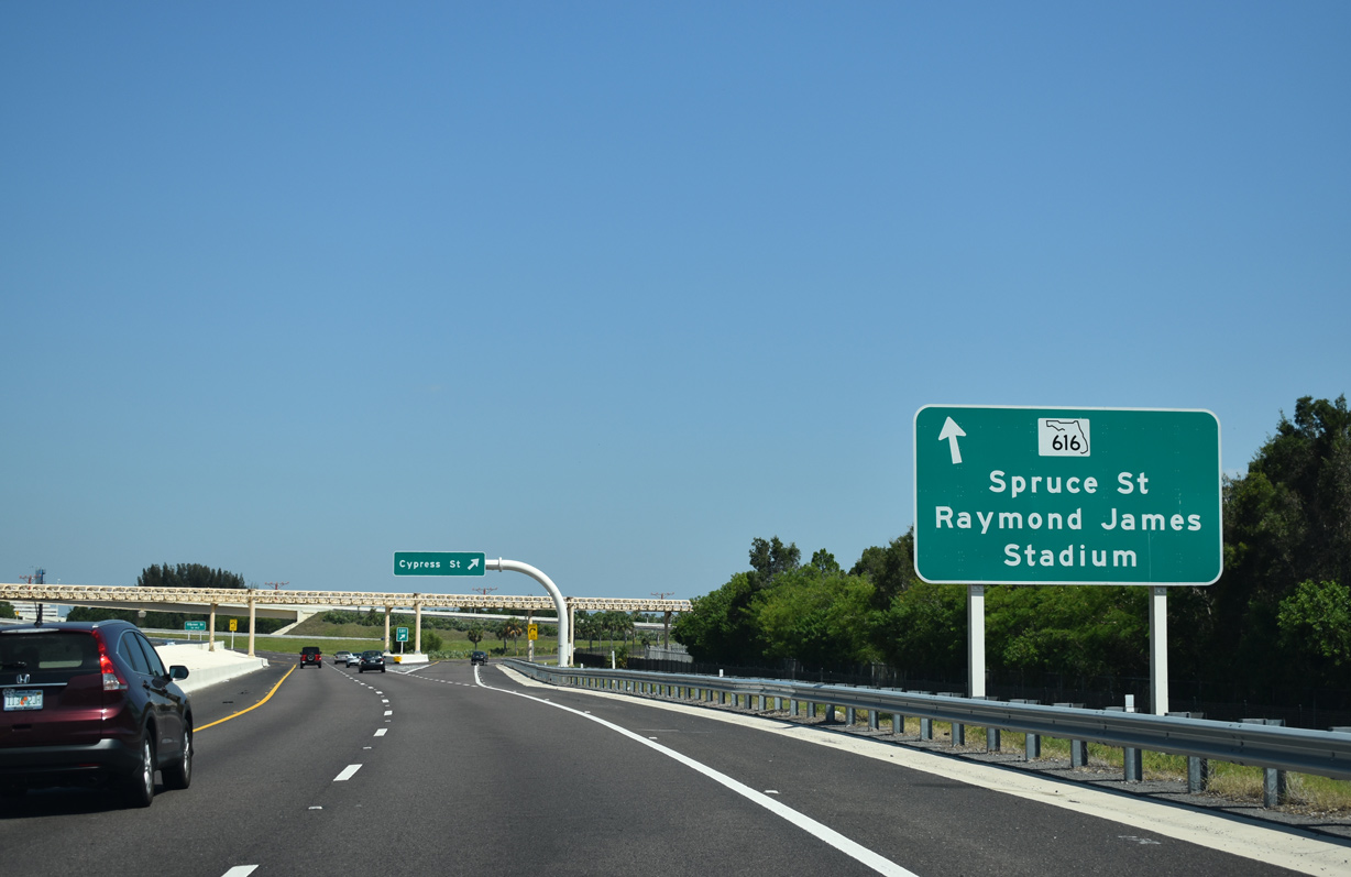
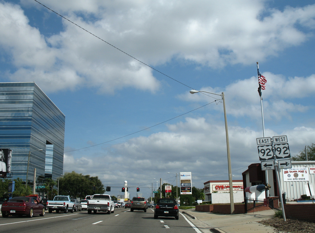
SR 616 spurs 1.79 miles east from SR 60 to International Plaza mall and U.S. 92 (Dale Mabry Highway) at Columbus Drive. The greenout for Tampa - St. Petersburg was added in Fall 2019.
03/11/26
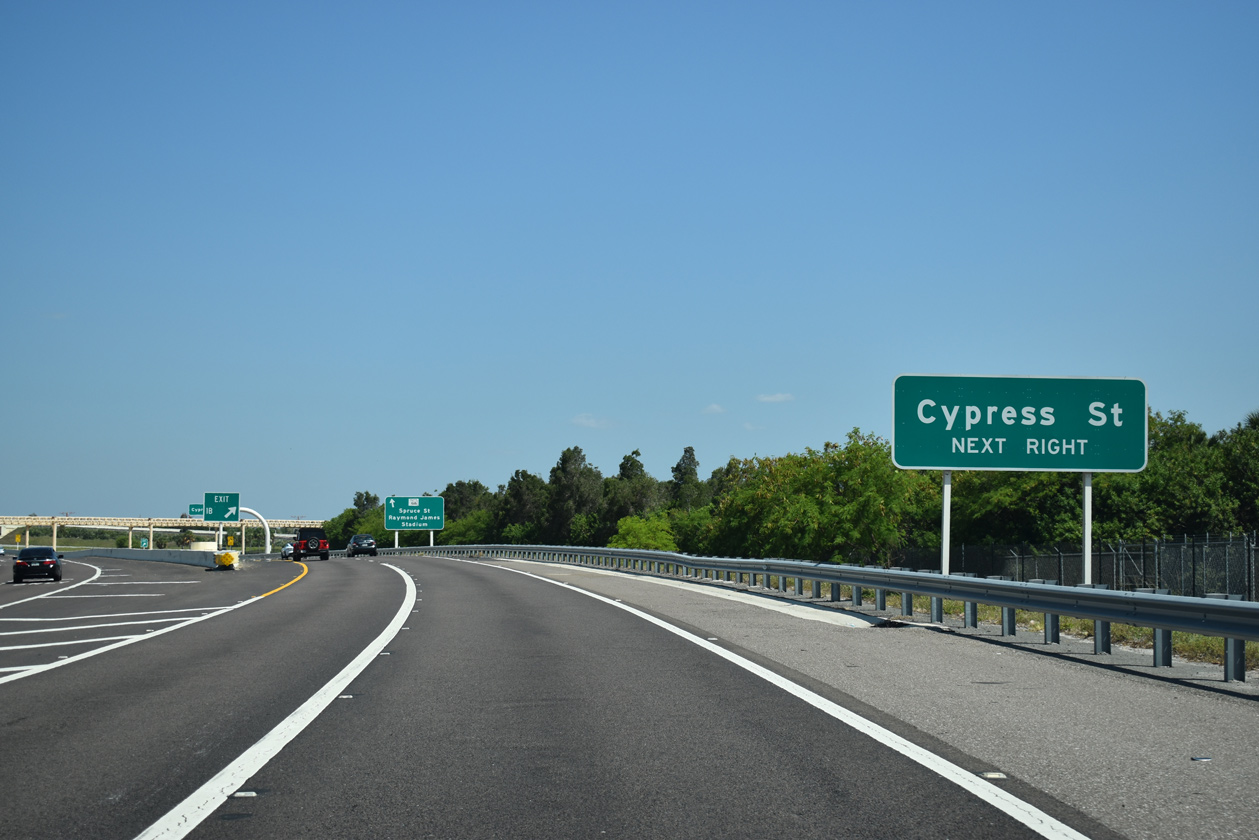
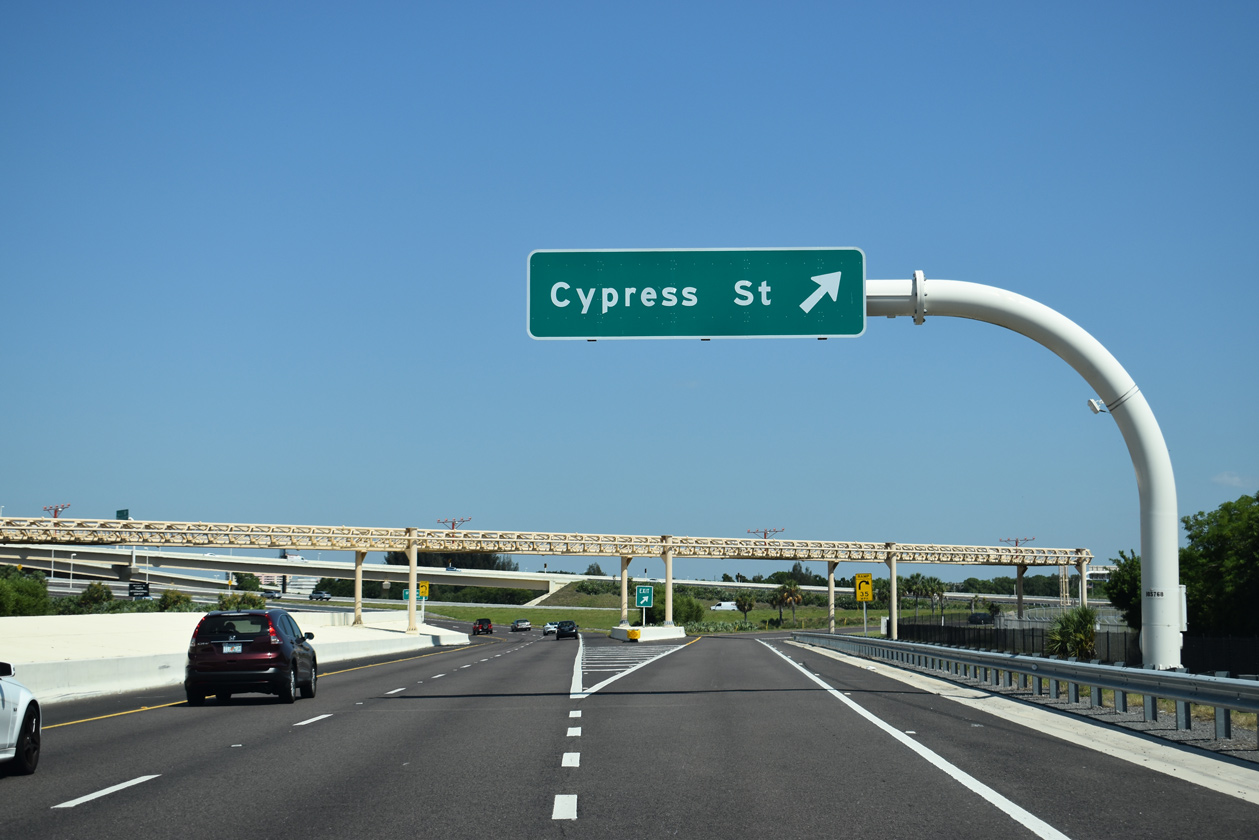
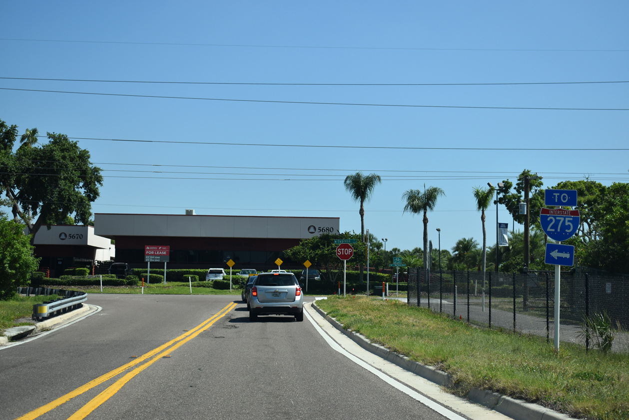
Exit 1B to SR 616 also includes access to Cypress Street at Bay West Commerce Park.
05/29/19
Spruce Street east from Memorial Highway to Dale Mabry Highway (U.S. 92) was originally a part of SR 589. SR 589 formed an L-shaped route south from Hillsborough Avenue and east to U.S. 92 until the number was used for the Veterans Expressway. This led to the designation of SR 616 for Spruce Street and Boy Scout Boulevard.
05/29/19
Cypress Street passes under the Memorial Highway freeway east to a number of office buildings and Jefferson High School.
05/29/19
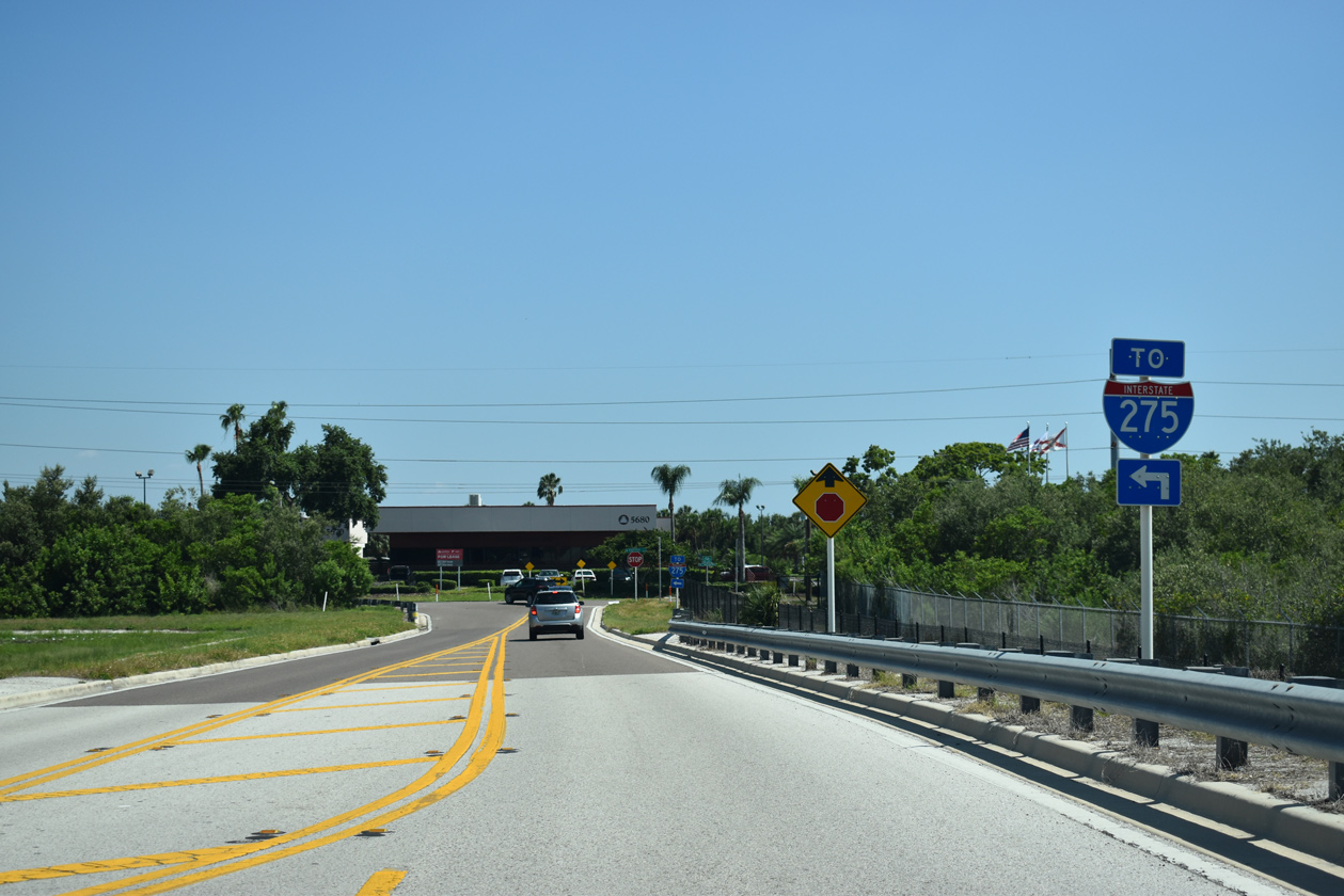
I-275 trailblazers stand at the end of the Cypress Street off-ramp from SR 60 east. Cypress Point Park lies just to the west, while an on-ramp to the east provides access to the SR 60 exit for the Howard Frankland Bridge (I-275 south).
05/29/19
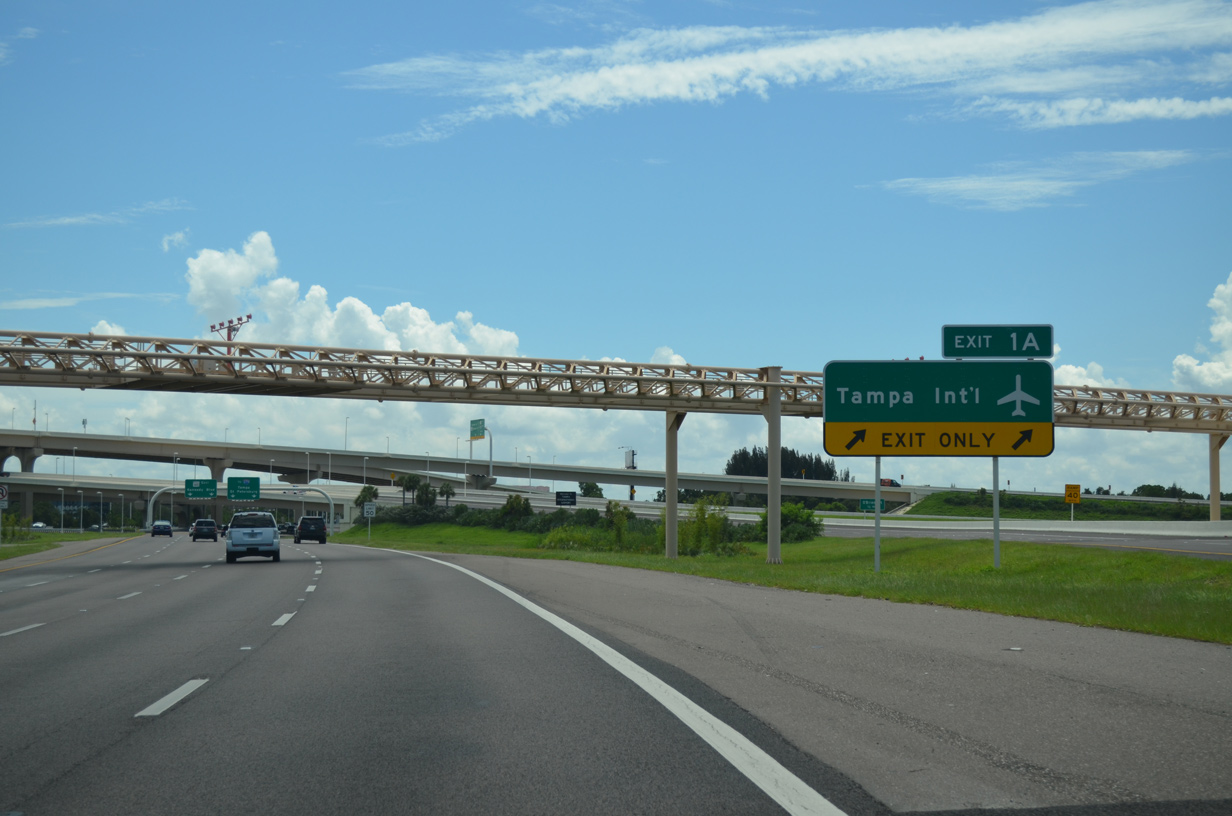
Two lanes separate from the SR 60 eastbound mainline via Exit 1A to George J. Bean Parkway north to the passenger terminal of Tampa International Airport (TPA). The laser guided navigation system for the north-south runway of TPA Airport passes over the exchange between the two roadways.
03/11/26
The high speed exchange between Memorial Highway, Spruce Street and George J. Bean Parkway replaced a three-level, directional interchange. The previous exchange involved weaving traffic patterns and was often congested during peak hour traffic.
08/15/15
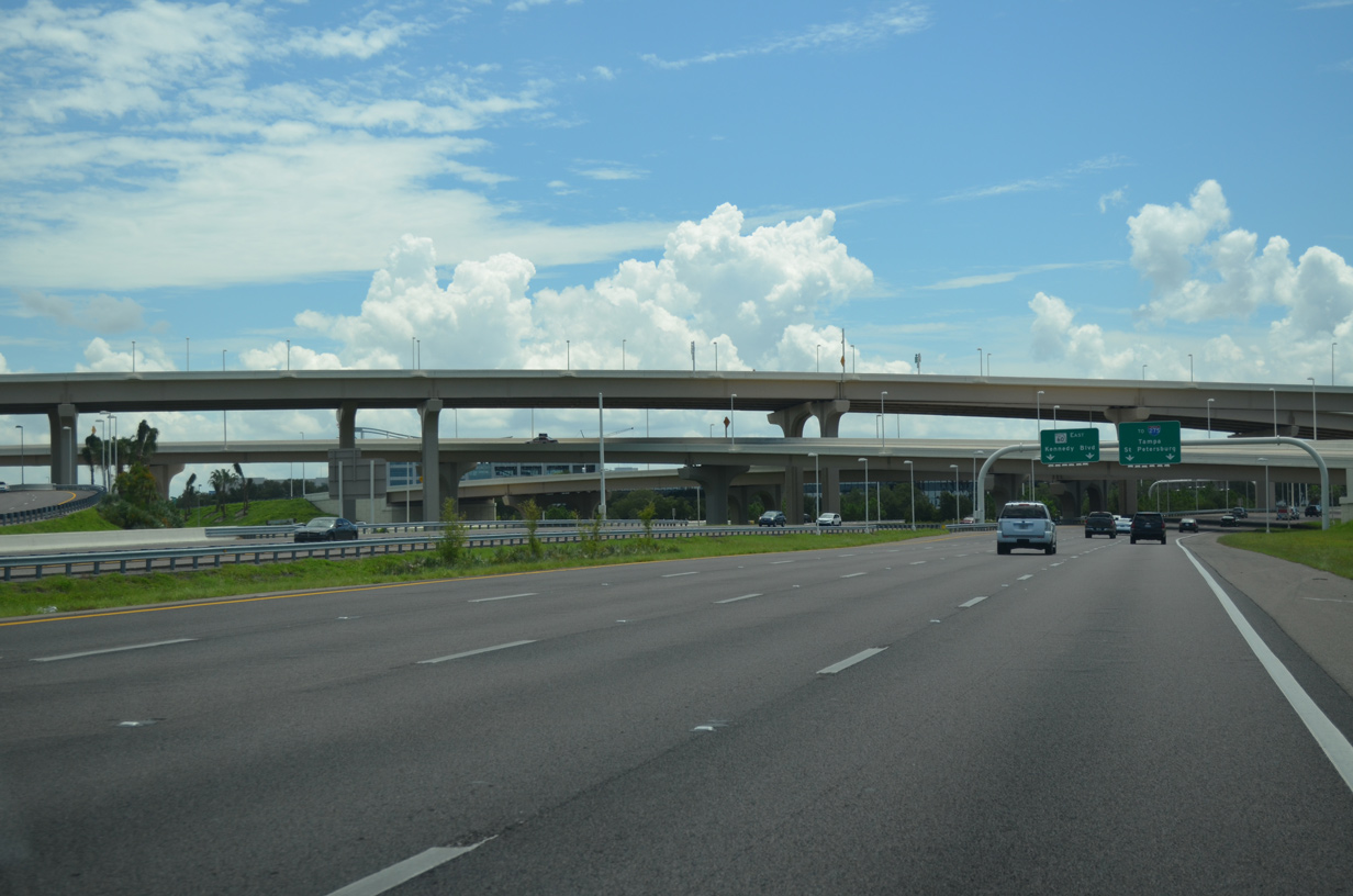
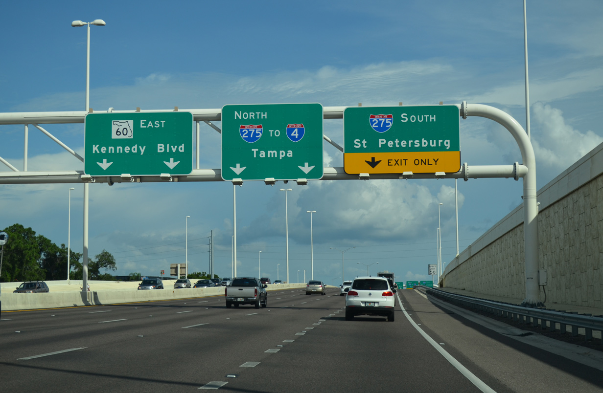
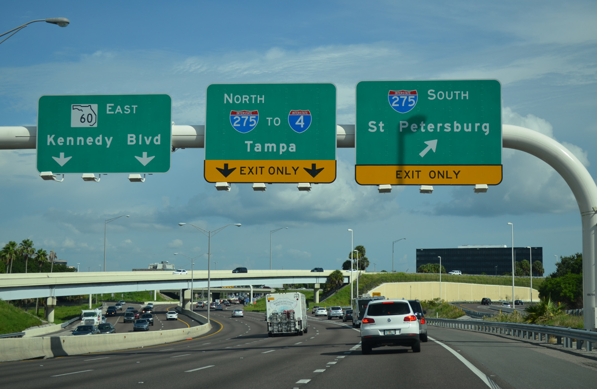
Four lanes of SR 60 (Memorial Highway) extend south from the airport interchange to Interstate 275. Two lanes depart ahead for I-275 east to Downtown Tampa and southwest across Old Tampa Bay to St. Petersburg.
03/11/26
A loop ramp from George J. Bean Parkway adds an eastbound auxiliary lane to I-275 south. The forthcoming ramp joins an adjacent ramp from the parkway to the Howard Frankland Bridge.
03/11/22
Interstate 275 leaves the Westshore area of Tampa for the Howard Frankland Bridge, a six mile system of causeway and bridges across Old Tampa Bay. The freeway reaches Downtown St. Petersburg in 16 miles.
05/18/22
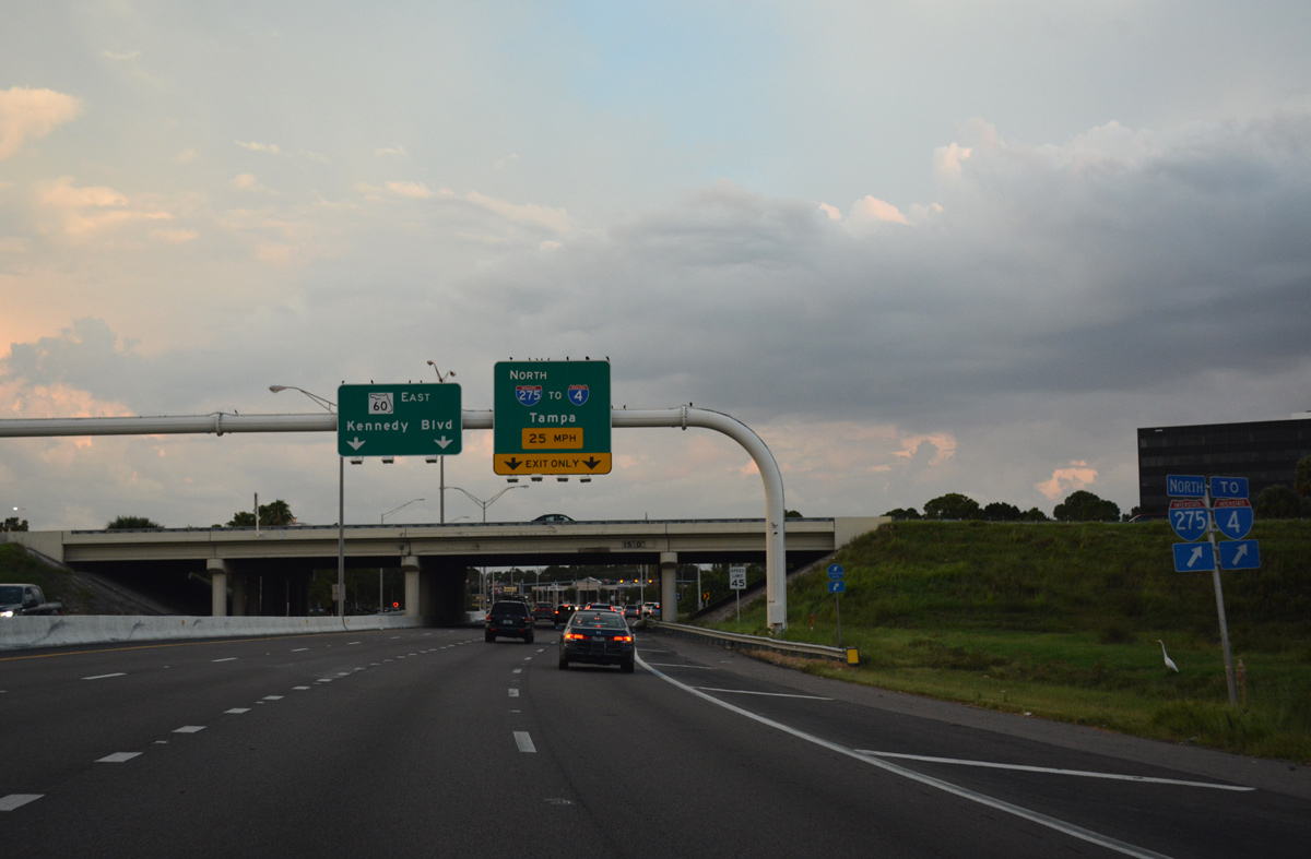
A two lane loop ramp follows onto Interstate 275 north toward Downtown Tampa. The freeway travels east six miles to the Downtown Interchange with Interstate 4.
05/18/22
03/11/26
The Memorial Highway freeway ends as SR 60 overtakes Kennedy Boulevard at the signalized entrance to WestShore Plaza mall. Kennedy Boulevard spurs west from SR 60 here to a wye interchange with I-275 south.
10/28/06
SR 60 seamlessly transitions onto Kennedy Boulevard east through the Westshore and Beach Park areas.
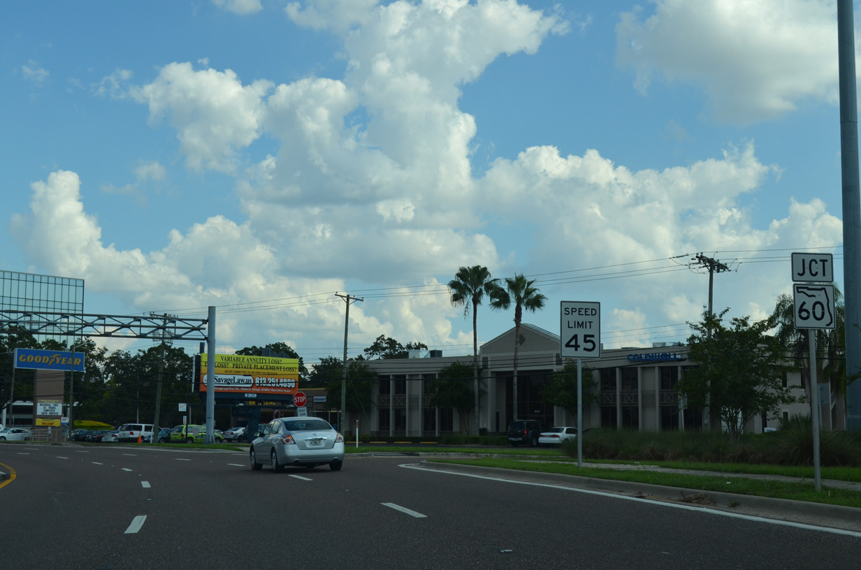
A reassurance marker posted after the Memorial Highway end was replaced by 2012 with this JCT assembly pictured here.
09/09/13
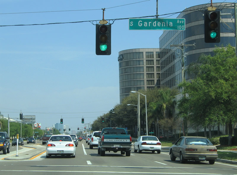
SR 60 continues from Memorial Highway to Gardena Avenue and Occident Streets, two additional access points to the adjacent Westshore Plaza Mall.
03/19/06
Kennedy Boulevard lines the south side of WestShore Plaza mall and a number of office buildings from Memorial Highway to Westshore Boulevard (CR 587). This stretch is often congested with several traffic lights in operation.
01/18/14
Beyond Occident Street is the traffic light with Westshore Boulevard (CR 587). The county road meets I-275 at a half diamond interchange nearby.
09/09/13
Hillsborough County Road 587 is mostly unsigned along its trek north along Westshore Boulevard from U.S. 92 (Gandy Boulevard) to SR 616 (Spruce Street).
09/09/13
Continuing east between the North Bon Air and Swann Estates neighborhoods, SR 60 approaches U.S. 92 (Dale Mabry Highway) at this busy intersection.
10/28/06
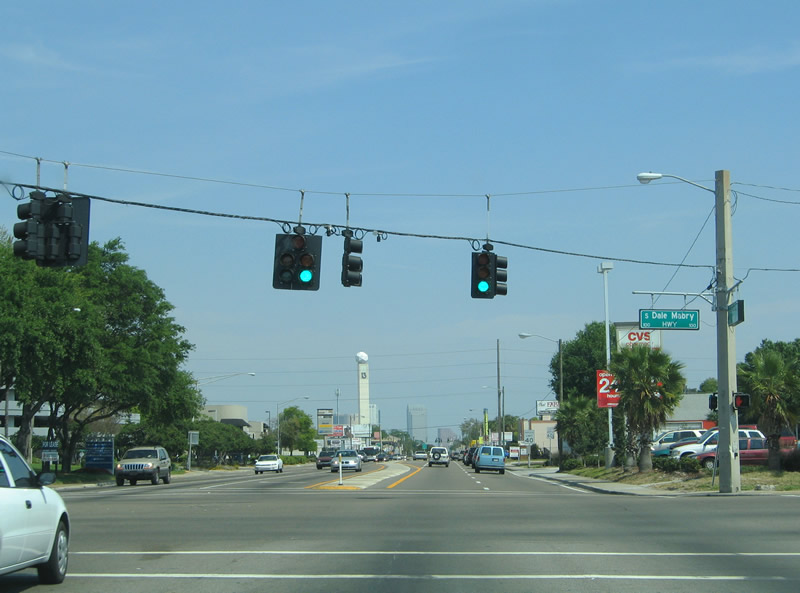
U.S. 92 travels south to Gandy Boulevard and north to Hillsborough Avenue on Dale Mabry Highway, a four to six lane commercial arterial stretching northward from Mac Dill A.F.B. to Land O' Lakes in Pasco County.
03/19/06
SR 685 (Henderson Boulevard) ties into SR 60 from the southwest at Palma Ceia Pines. SR 685 combines with SR 60 east along an unsigned overlap to Florida Avenue. There Florida Avenue takes SR 685 north as the counterpart of U.S. 41 Business toward Lutz.
03/19/06
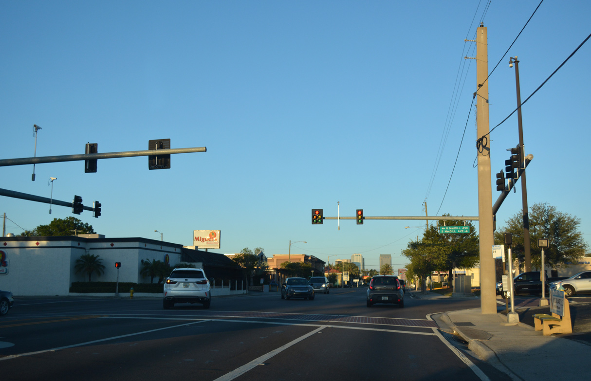
MacDill Avenue is an urban major collector originating 5.52 miles to the south of SR 60 from N Boundary Boulevard at MacDill Air Force base and Gadsden Park. MacDill Avenue extends 2.52 miles north to SR 574 (MLK Boulevard) at St. Joseph's Hospital.
05/06/17
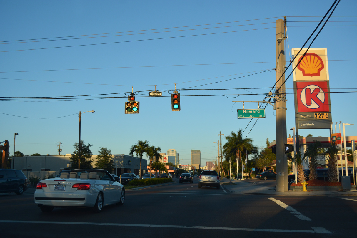
Howard Avenue north and Armenia Avenue south constitutes arterial streets between I-275 and the Hyde Park community south of SR 60.
05/06/17
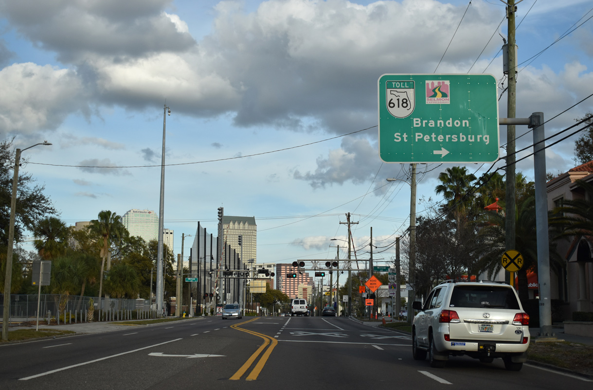
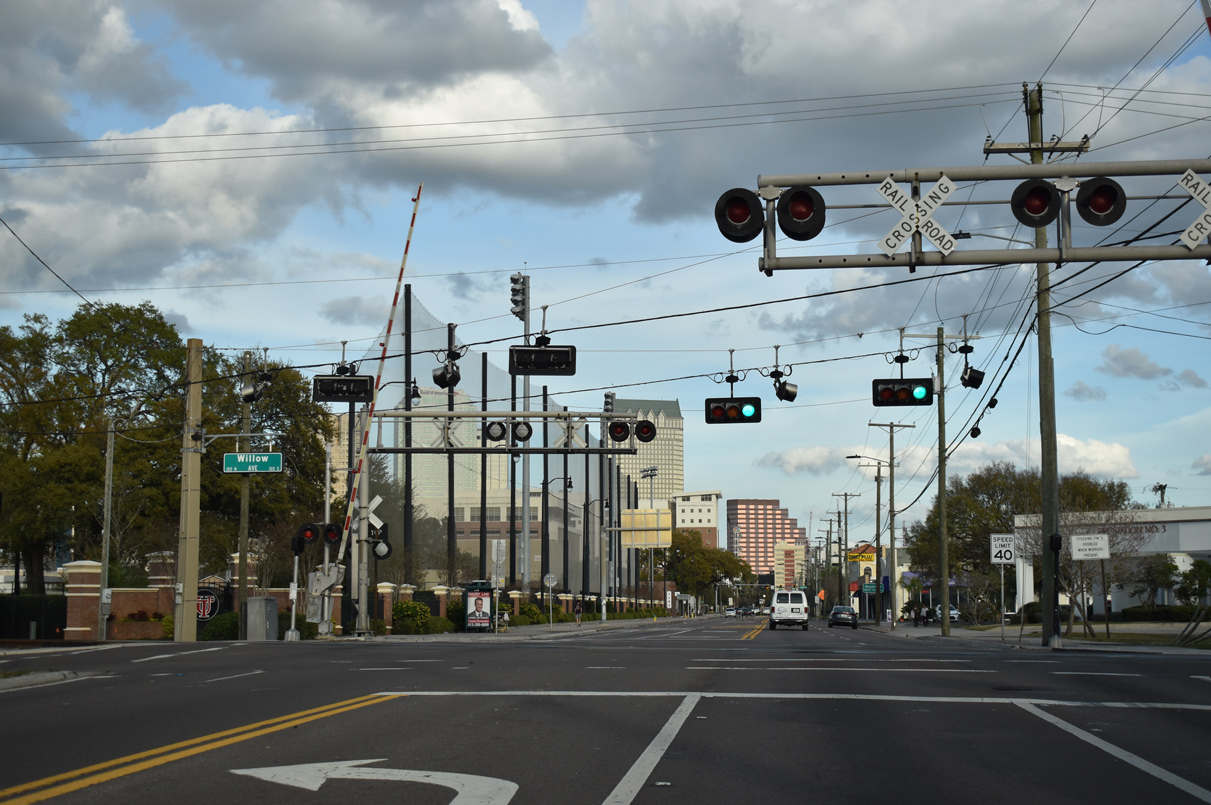
Willow Avenue joins SR 60 (Kennedy Boulevard) with the Selmon Expressway one block to the south at a diamond interchange.
02/23/20
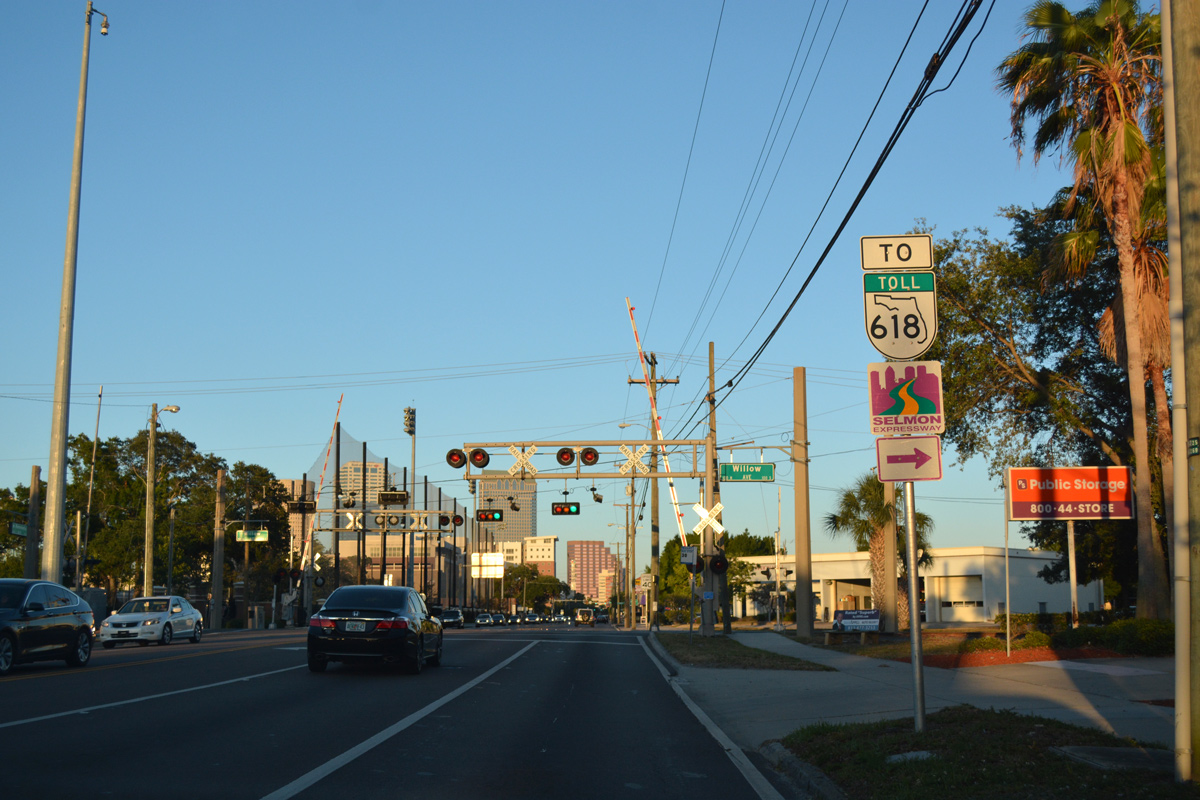
Kennedy Boulevard crosses a CSX Railroad line at grade at the intersection with Willow Avenue. Willow Avenue heads south to the Hyde Park / Spanishtown Creek area en route to Bayshore Boulevard.
05/06/17
02/23/20
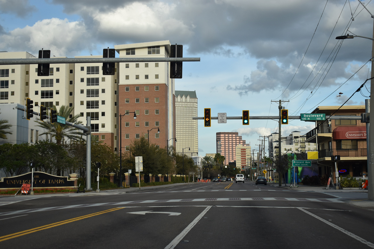
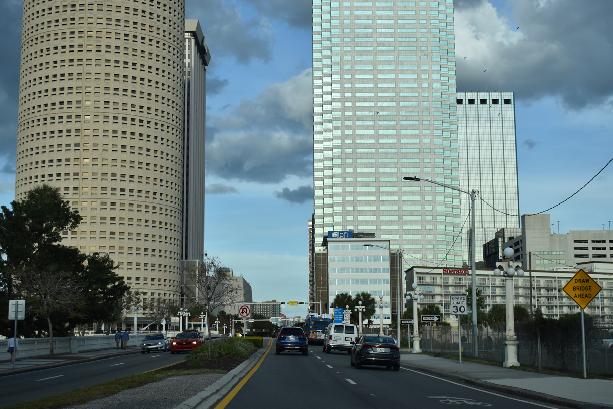
SR 60 (Kennedy Boulevard) east reaches the University of Tampa at the intersection with North / South Boulevard. Boulevard joins SR 60 with Bayshore Boulevard to the south and the Ridgewood Park and Tampa Heights area to the north.
02/23/20
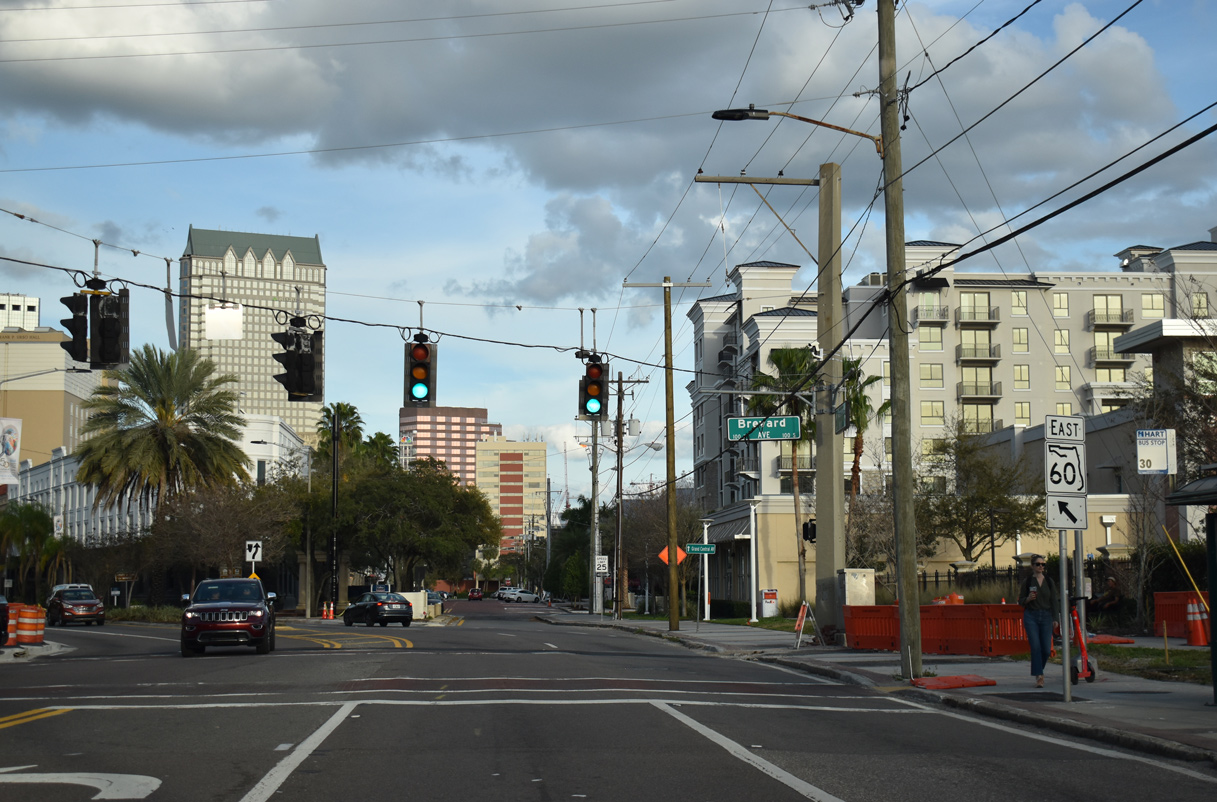
Grand Central Avenue separates from SR 60 (Kennedy Boulevard) east and extends three blocks from Brevard Street to Palm Avenue. Grand Central Avenue was the original name of Kennedy Boulevard.
02/23/20
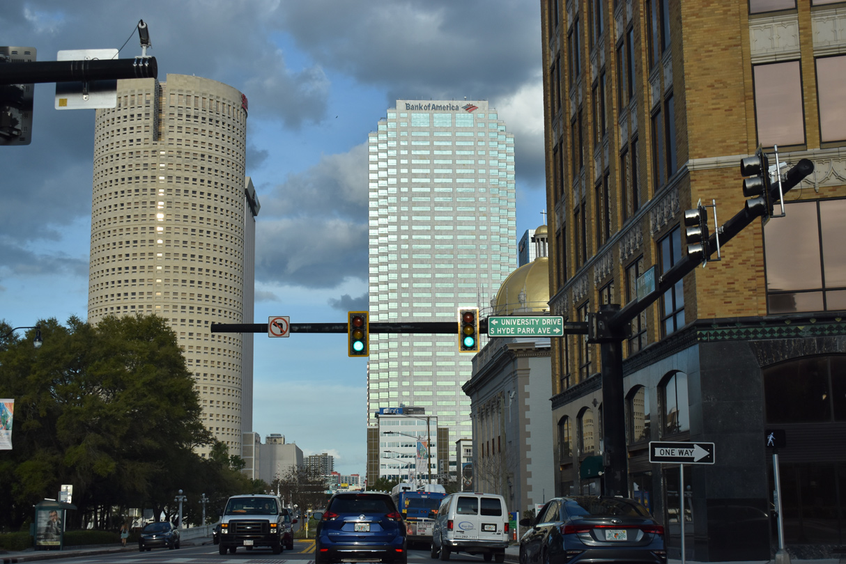
Hyde Park Avenue south and University Drive North meet SR 60 (Kennedy Boulevard) at Henry B. Plant Park. Henry B. Plant Park is home to the Henry B. Plant Museum and a river walk along the Hillsborough River.
02/23/20
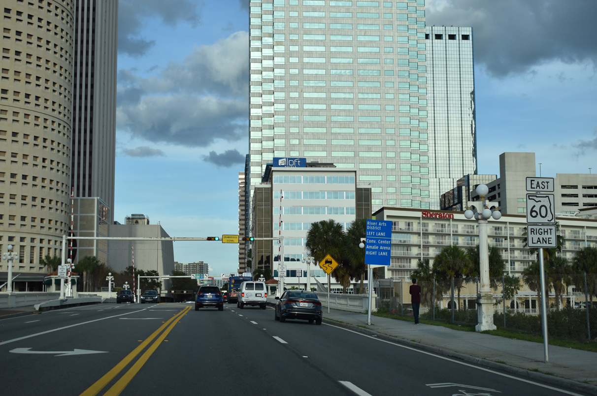
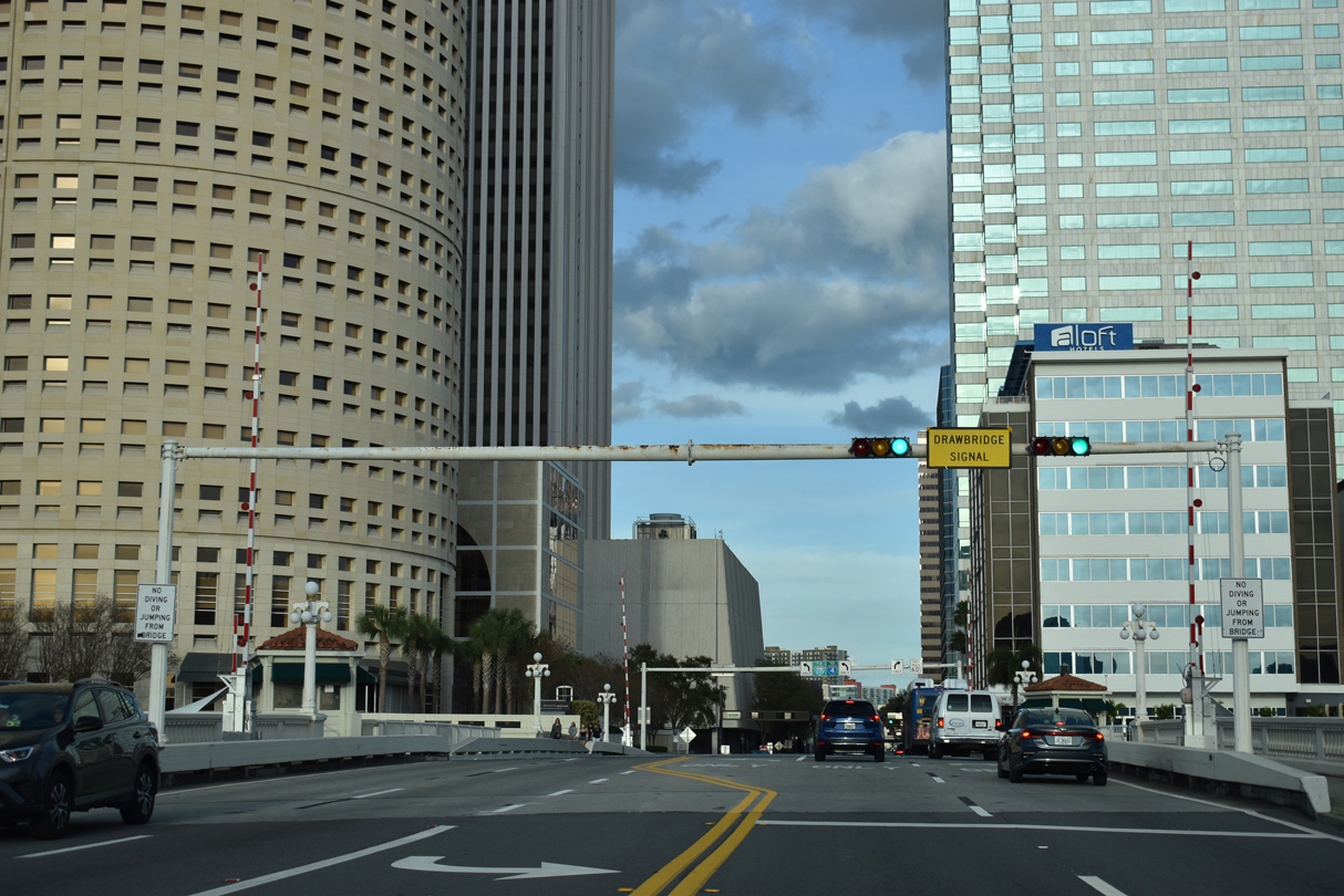
SR 60 east spans the Hillsborough River across a bascule bridge. The Kennedy Boulevard Bridge was built in 1913 and reconstructed in 1995 (Baughn, n.d.).
02/23/20
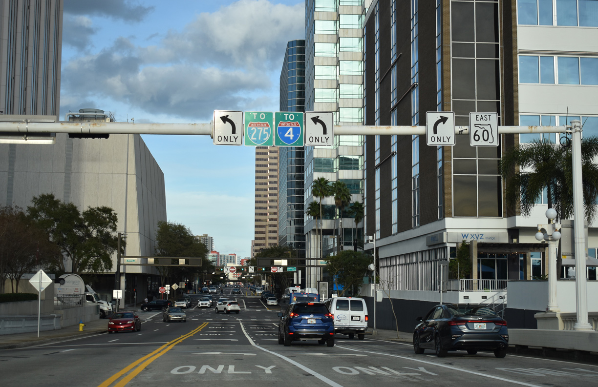
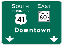
SR 60 east turns onto Ashley Drive south for one block to Jackson Street east while Kennedy Boulevard carries westbound traffic only through Downtown. Ashley Drive north continues to a trumpet interchange with Interstate 275.
02/23/20

References:
Road project along Courtney Campbell Causeway to benefit environment. (2019, February 12). WFLA TV-8.
Florida Department of Transportation (FDOT). (n.d.). Tampa Airport Interchanges -- SR 60 (completed March 2010). http://mytbi.com/projects/projectinfo.asp?projectID=72&RoadID=11
Baughn, J. (n.d.). Kennedy Boulevard Bridge. Bridgehunter.com. http://bridgehunter.com/fl/hillsborough/kennedy-blvd/
Photo Credits:
- ABRoads: 09/09/13, 02/23/20, 04/03/20, 10/14/22
- AARoads: 10/01/16, 05/06/17
- Alex Nitzman: 10/28/06, 01/18/14, 08/15/15, 05/29/19, 03/11/22, 05/18/22, 03/11/26
- Alex Nitzman, Justin Cozart: 03/19/06
Connect with:
Page Updated Thursday March 12, 2026.