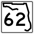
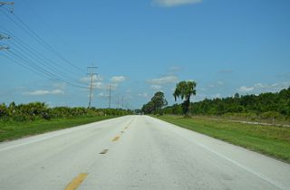
Following a fairly linear route, Florida State Road 62 bee lines 37.52 miles east from U.S. 301 at Parrish to U.S. 17 between Wauchula and Bowling Green. The rural highway across northeastern Manatee County and northwestern Hardee County services a number of phosphate mines, the Florida Power and Light (FPL) Manatee Energy Center and agricultural land. SR 62 meets SR 37 at Duette and CR 663 at Fort Green Springs.

East

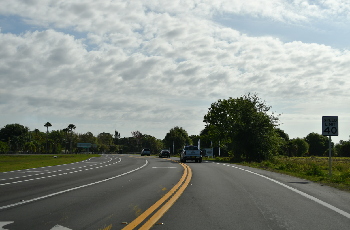
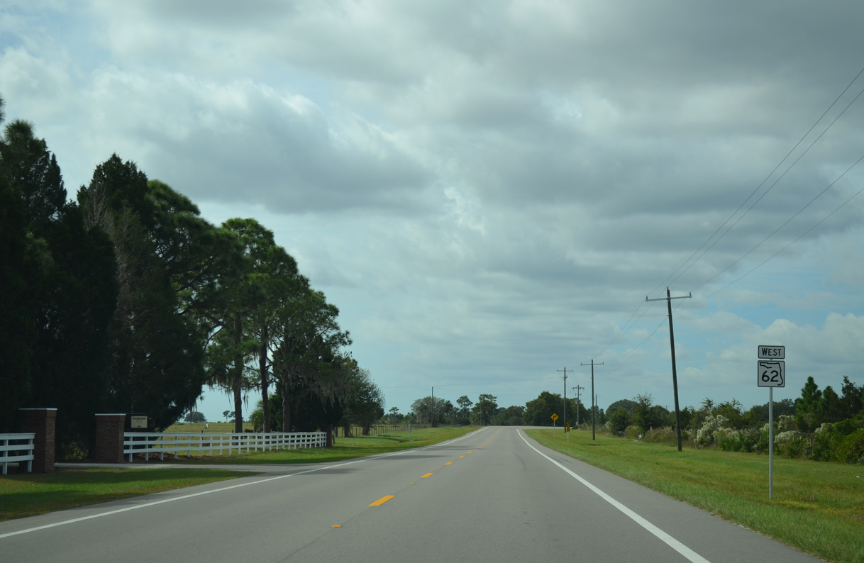
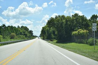
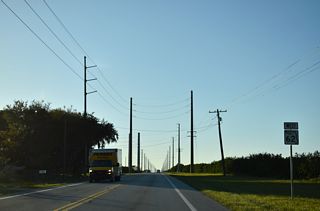
A confirming marker for SR 62 east was not posted on the 0.26 mile long new roadway constructed east from U.S. 301 at Erie Road in 2023/24. The speed limit was lowered from 60 to 40 MPH as a result of the realignment.1
03/13/24
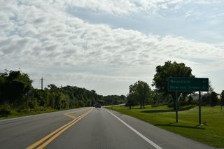
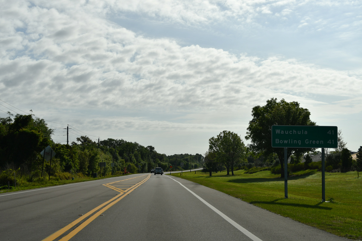
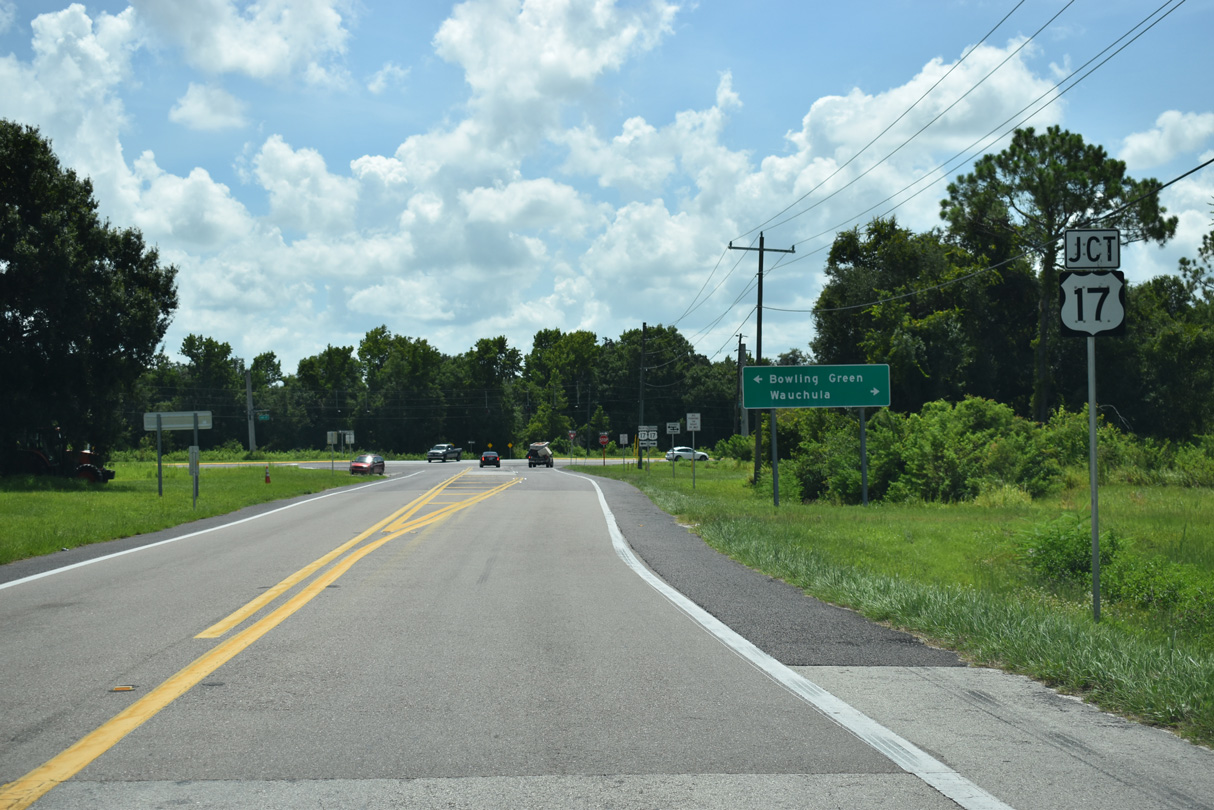
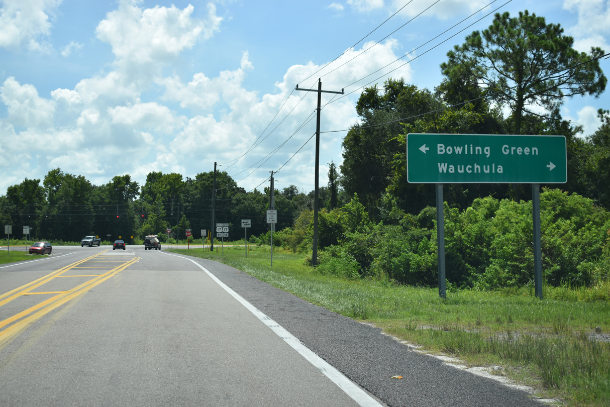
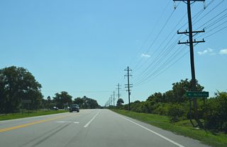
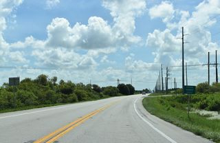
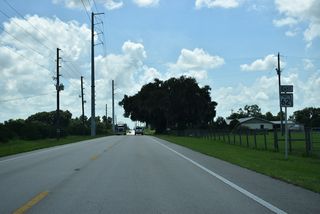
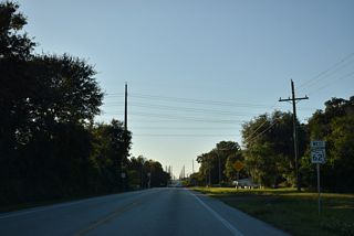
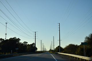
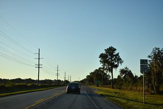
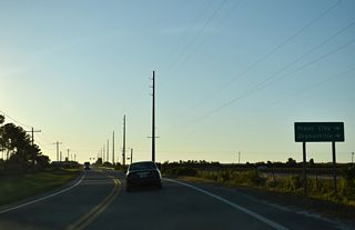
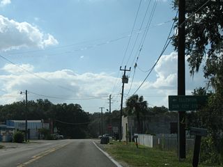
The distance sign for Wauchula and Bowling Green, cities along U.S. 17, appears east of Pioneer Boulevard, entrance for the Crosswind Point subdivision built in 2023/24.
03/13/24

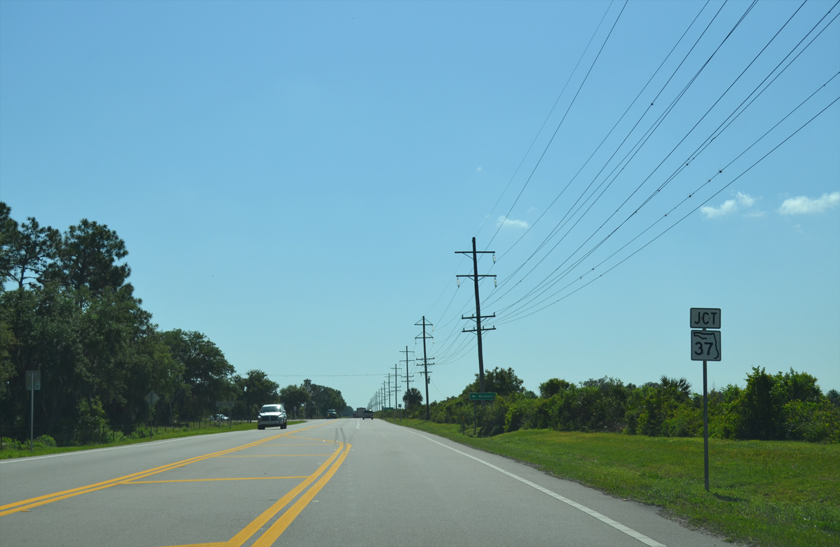
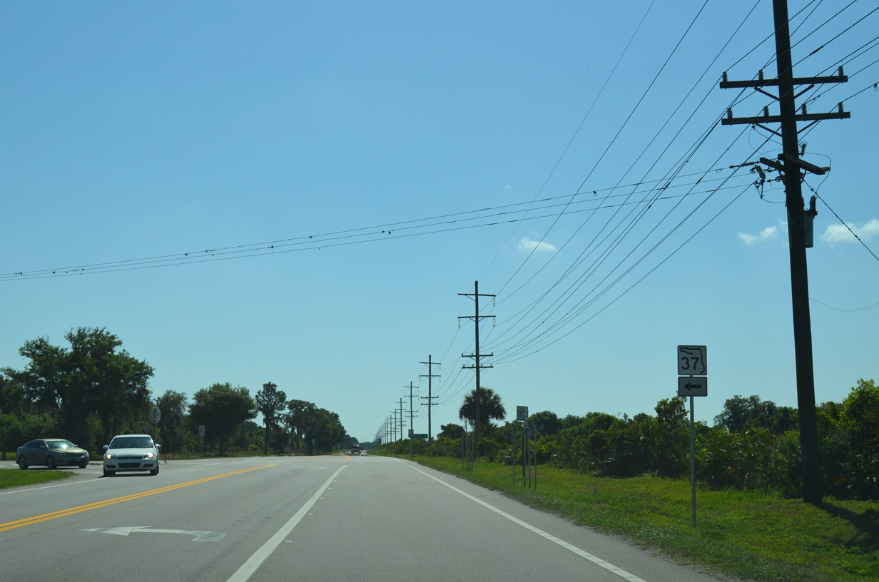
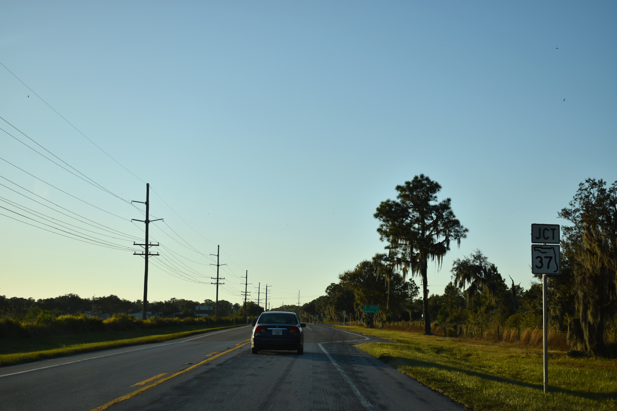
SR 37 branches northeast from SR 62 at the rural settlement of Duette in eastern Manatee County.
04/26/14
SR 37 travels 23.8 miles north to SR 60 in the city of Mulberry.
04/26/14

Overall State Road 37 extends 34.22 miles north from Duette to Lakeland.
04/26/14
07/02/19
07/02/19
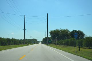
Duette Road stems south from SR 62 to the Duette Preserve and SR 64.
07/02/19
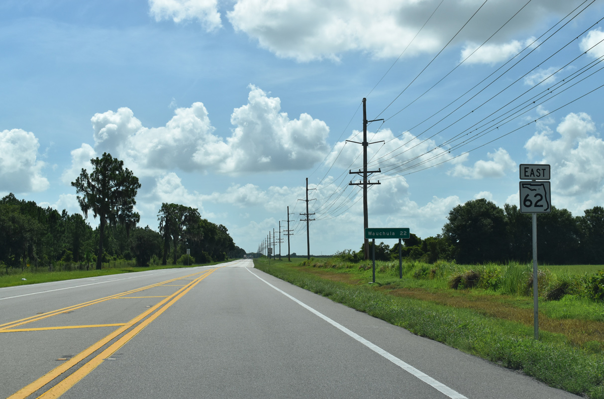
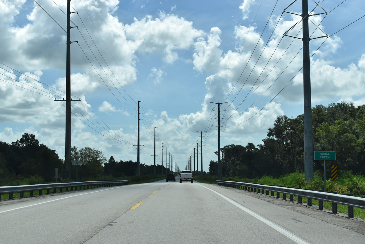
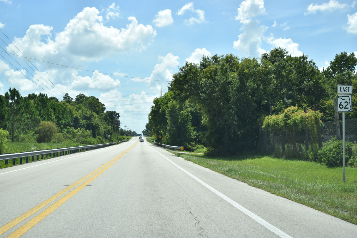
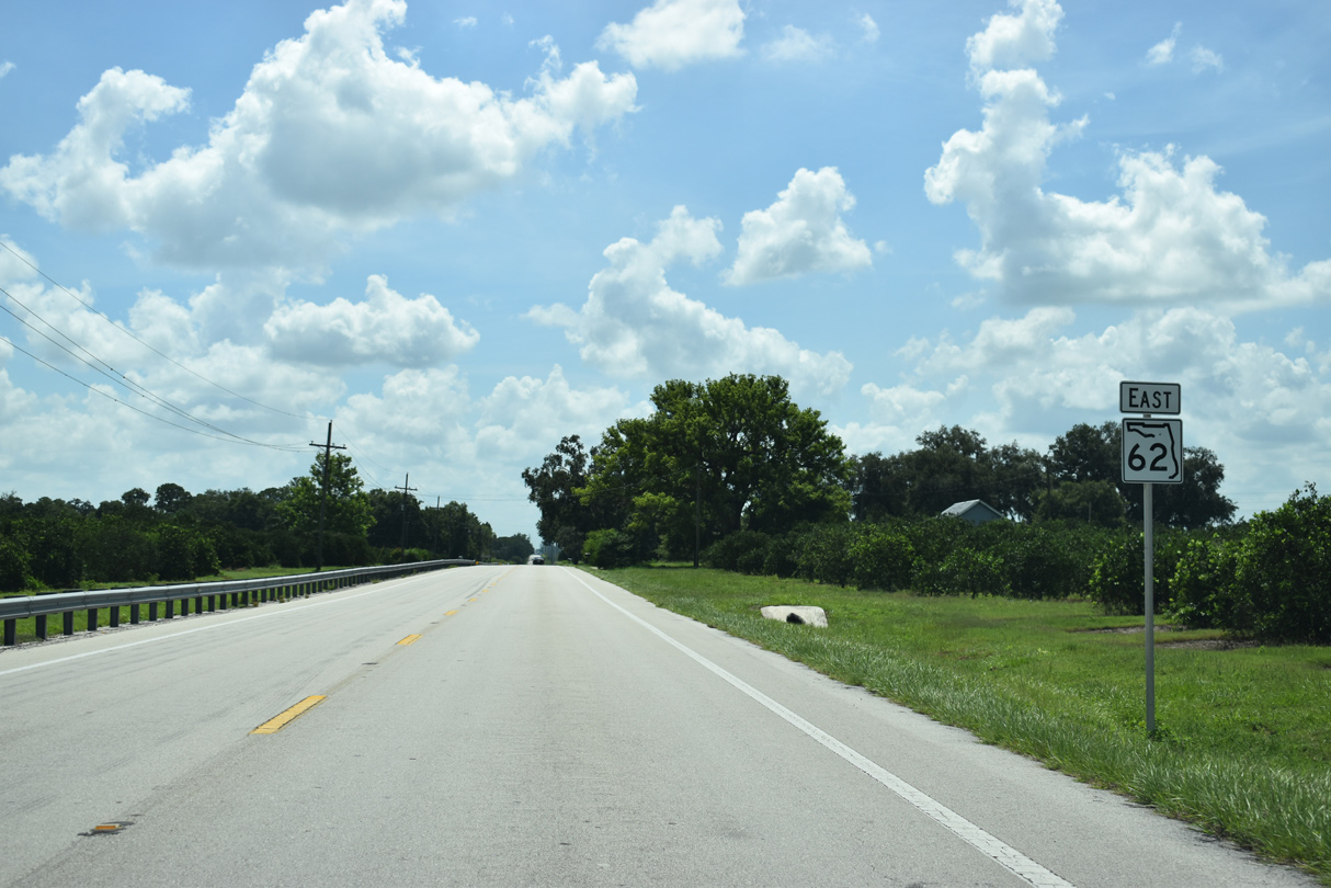
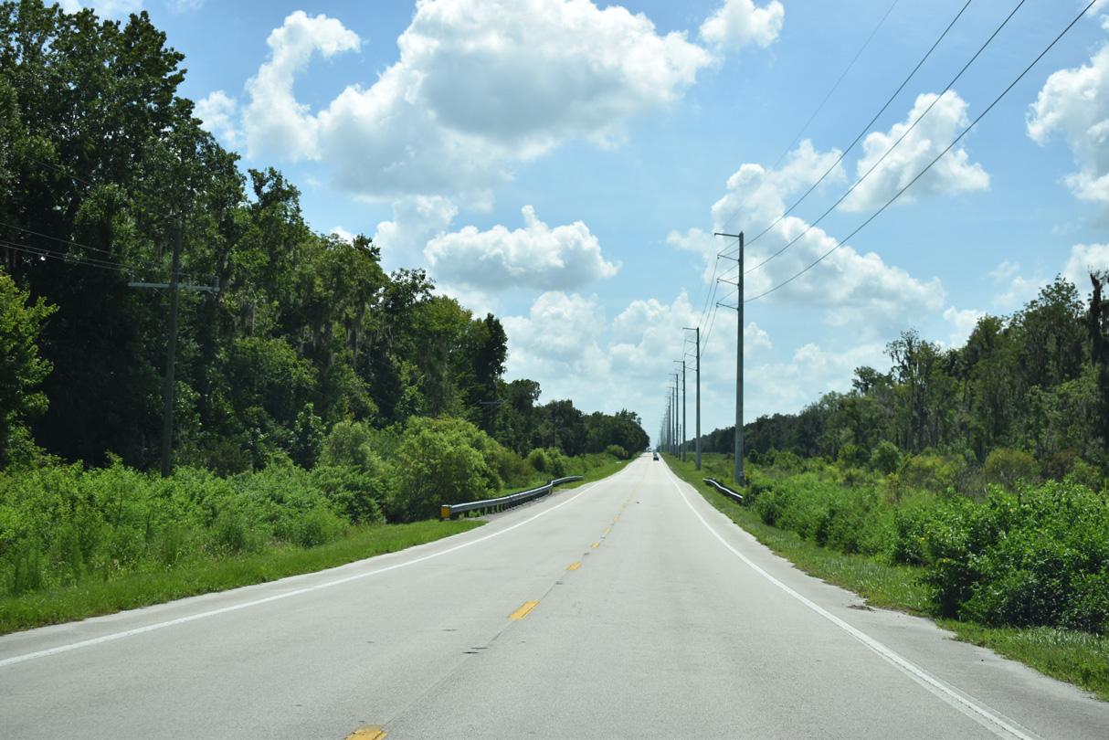
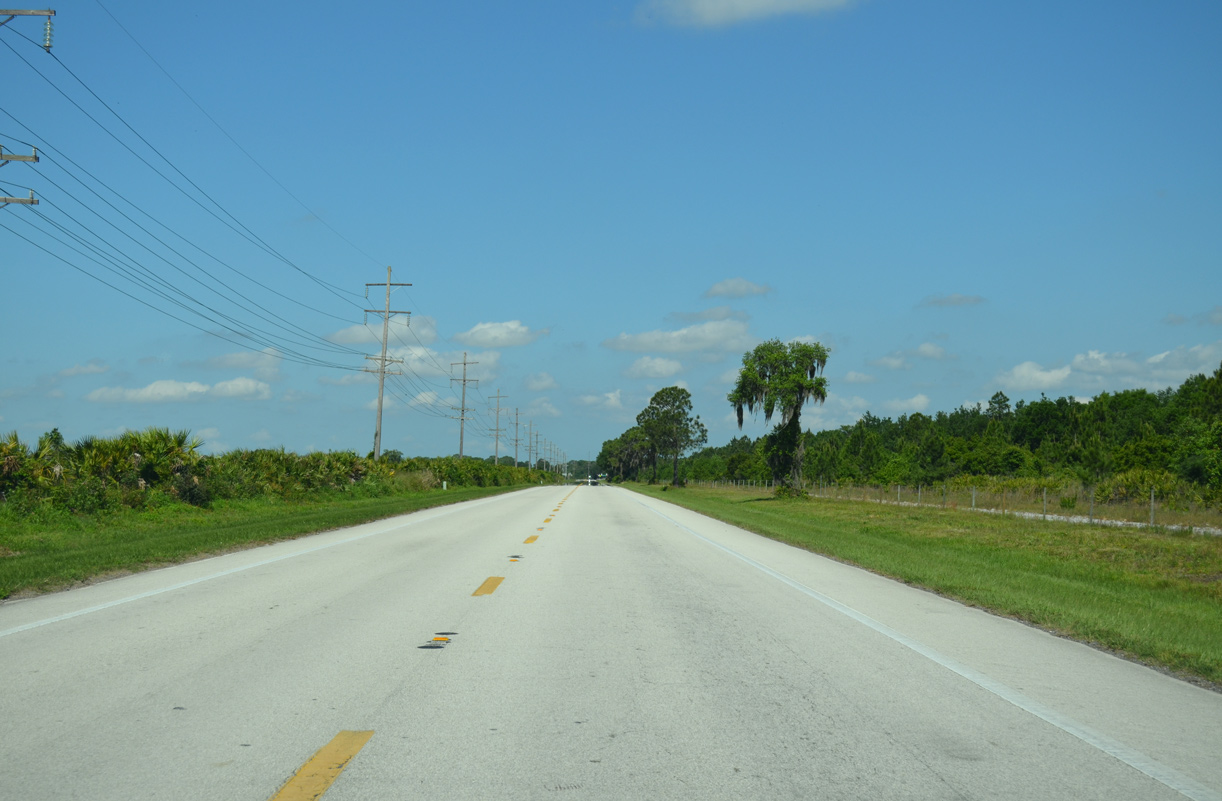
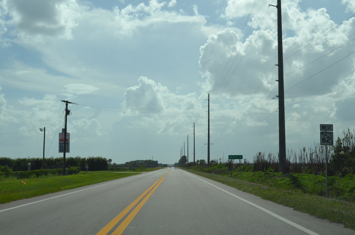
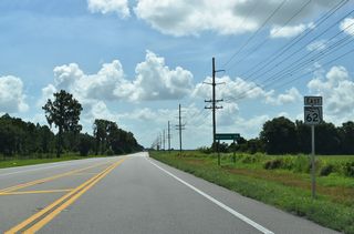
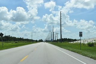
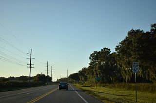
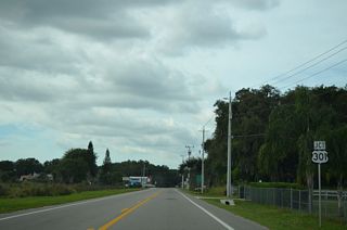
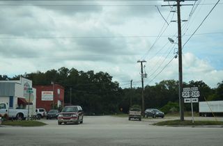
SR 62 bee lines 14.28 miles east from the Hardee County line to U.S. 17.
07/02/19
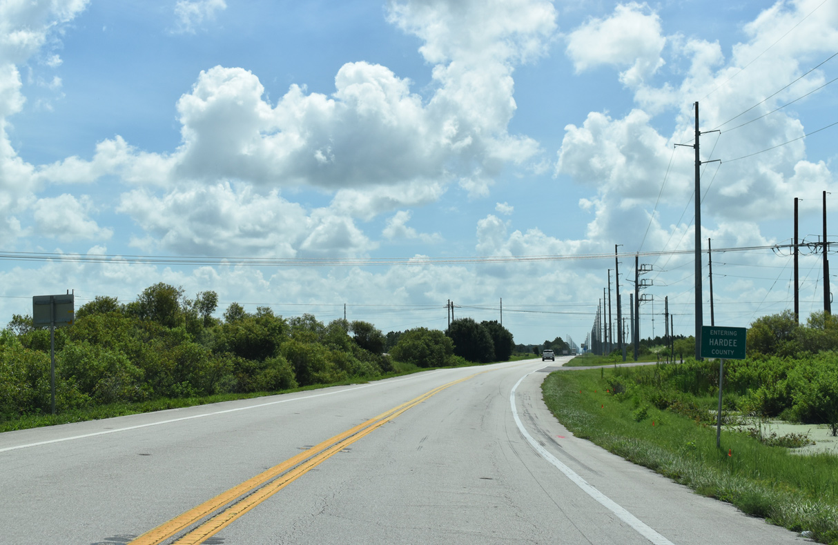
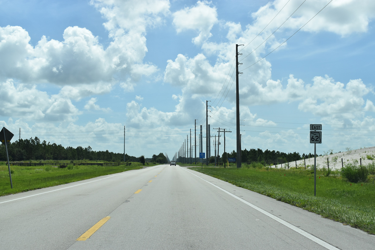
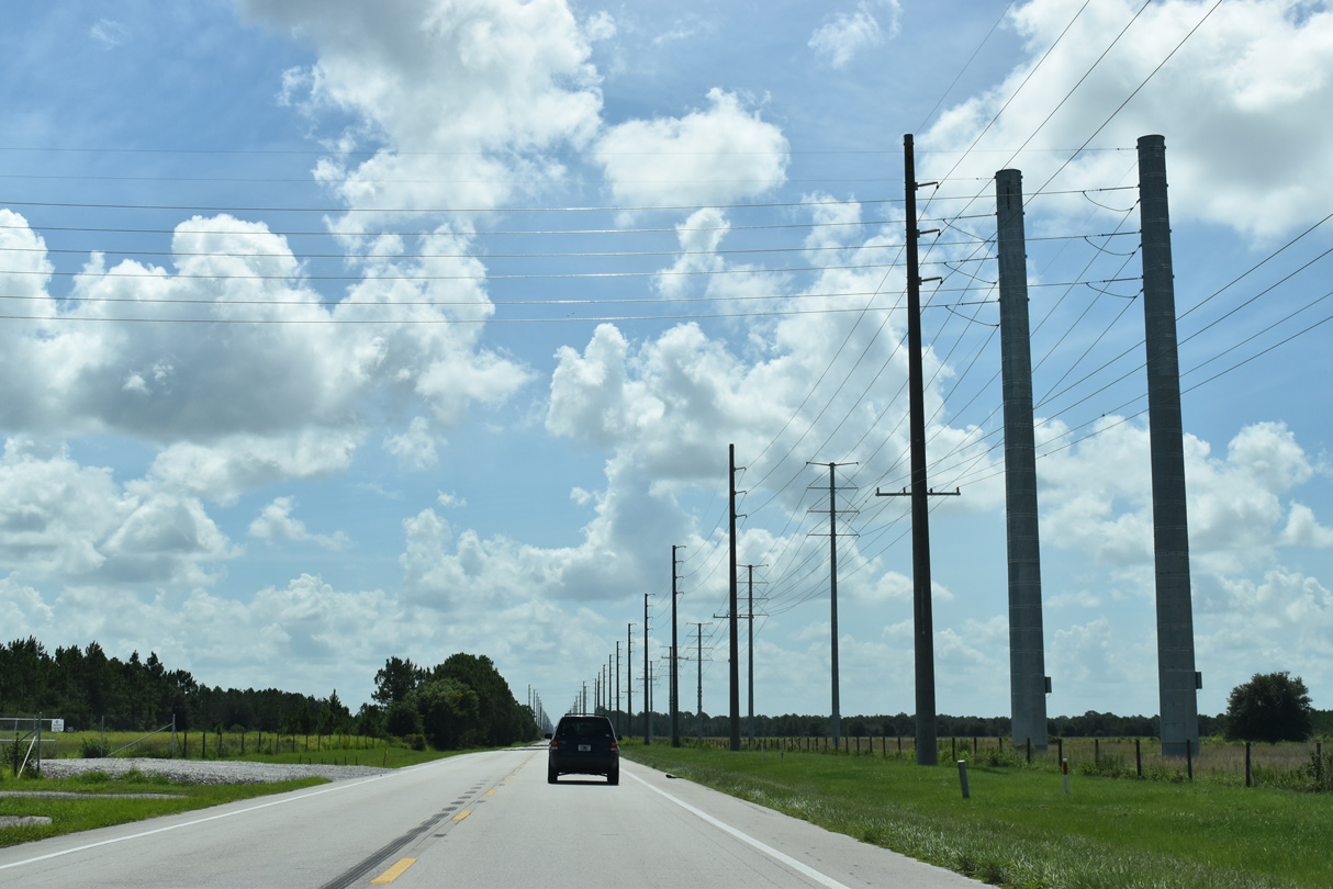
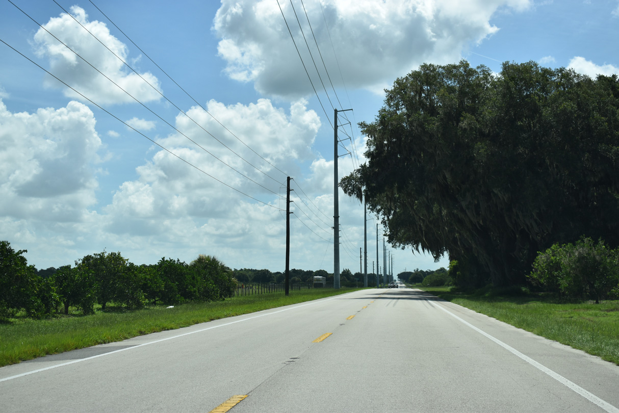
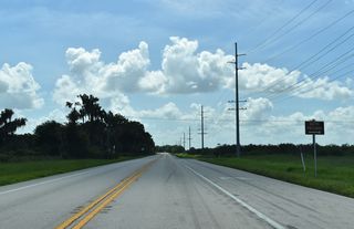
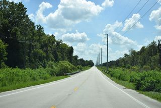
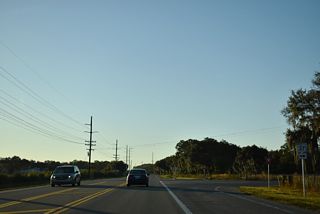
SR 62 advances past several phosphate mines in western Hardee County.
07/02/19

07/02/19

07/02/19

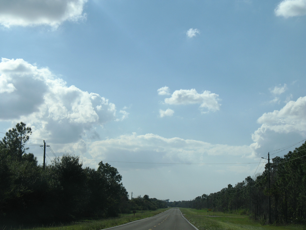
SR 62 north of Mitchell Hammock.
04/26/14
Sign replacements made by 2016 removed the junction shield for CR 663 at Fort Green Springs.
04/26/14

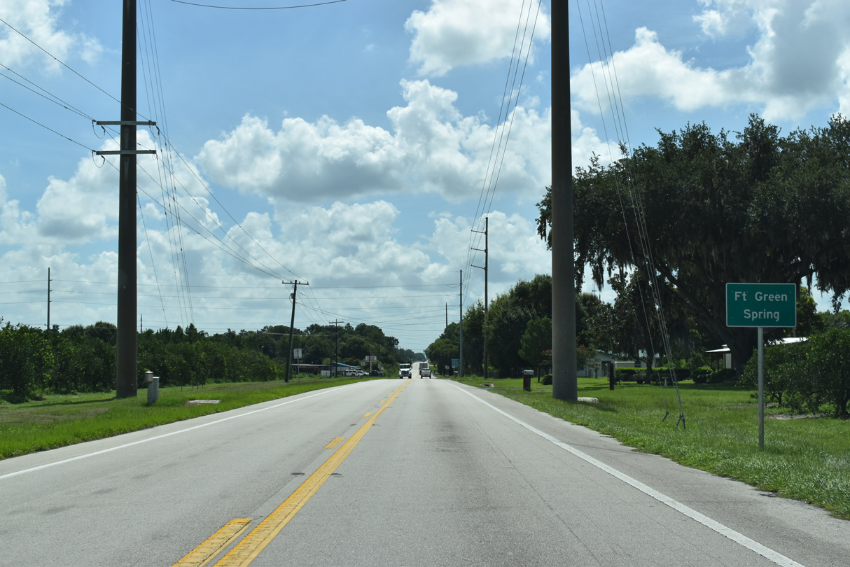
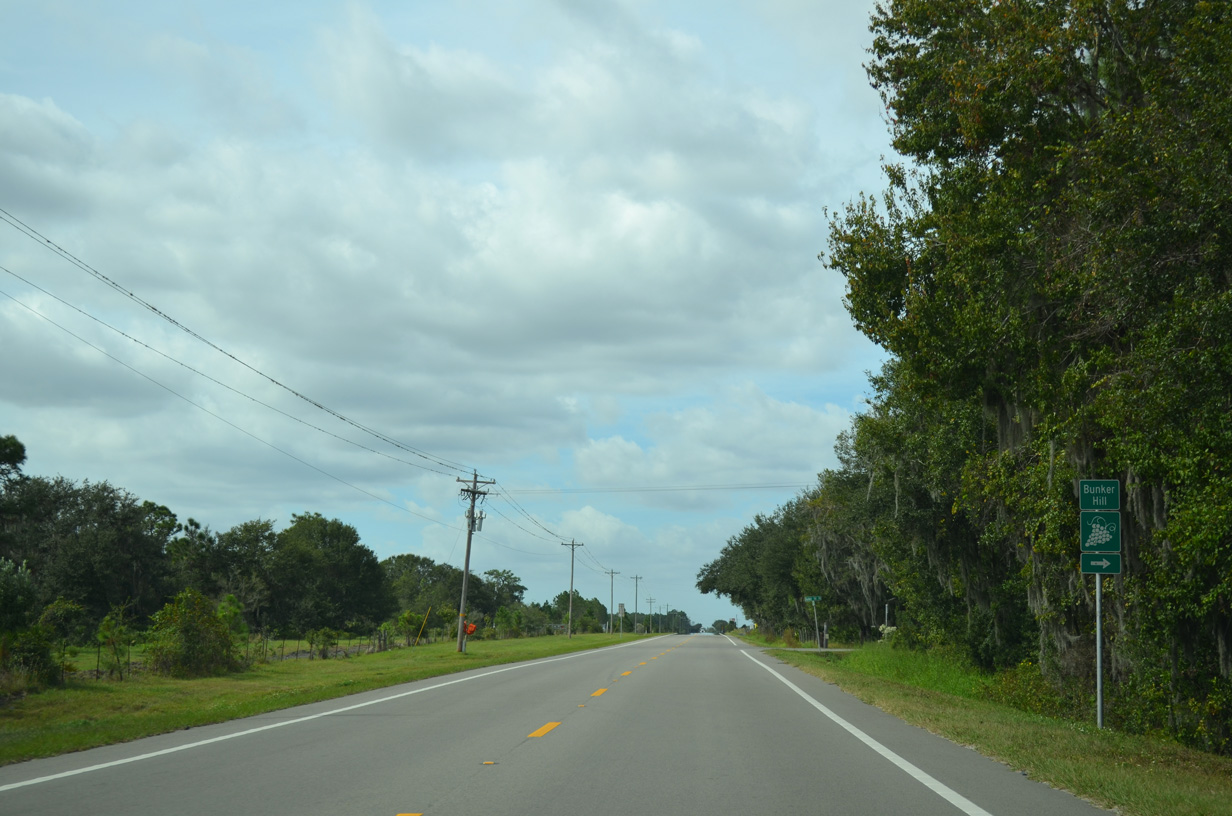
Fort Green Springs is a CSX Railroad siding adjacent to SR 62 and CR 663 south. Sign replacements continue to display Spring instead of Springs.
07/02/19
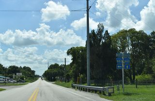
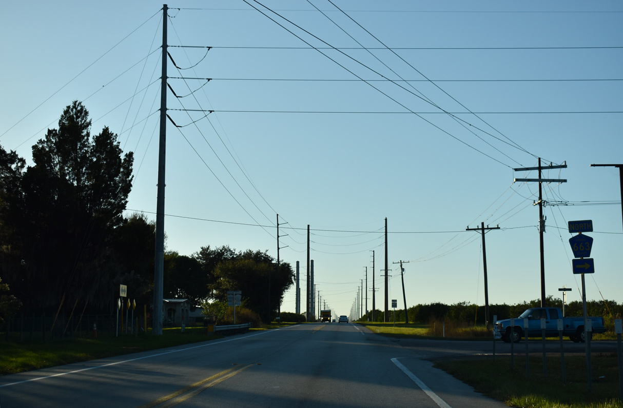
CR 663 parallels the CSX Railroad 3.58 miles north to Fort Green and Fort Green Road in Polk County.
07/02/19
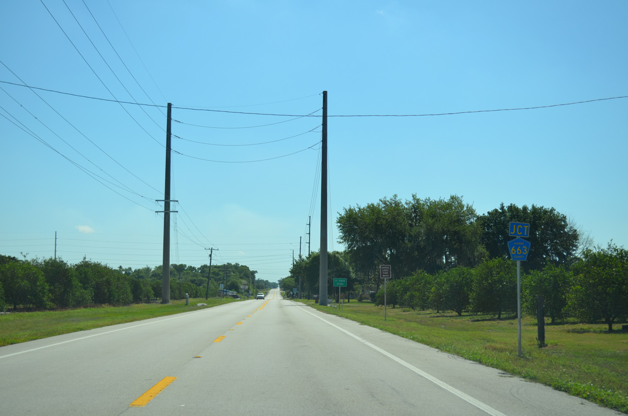
SR 62 crosses Shirttail Branch between the north and south legs of CR 663 at Fort Green Springs.
07/02/19

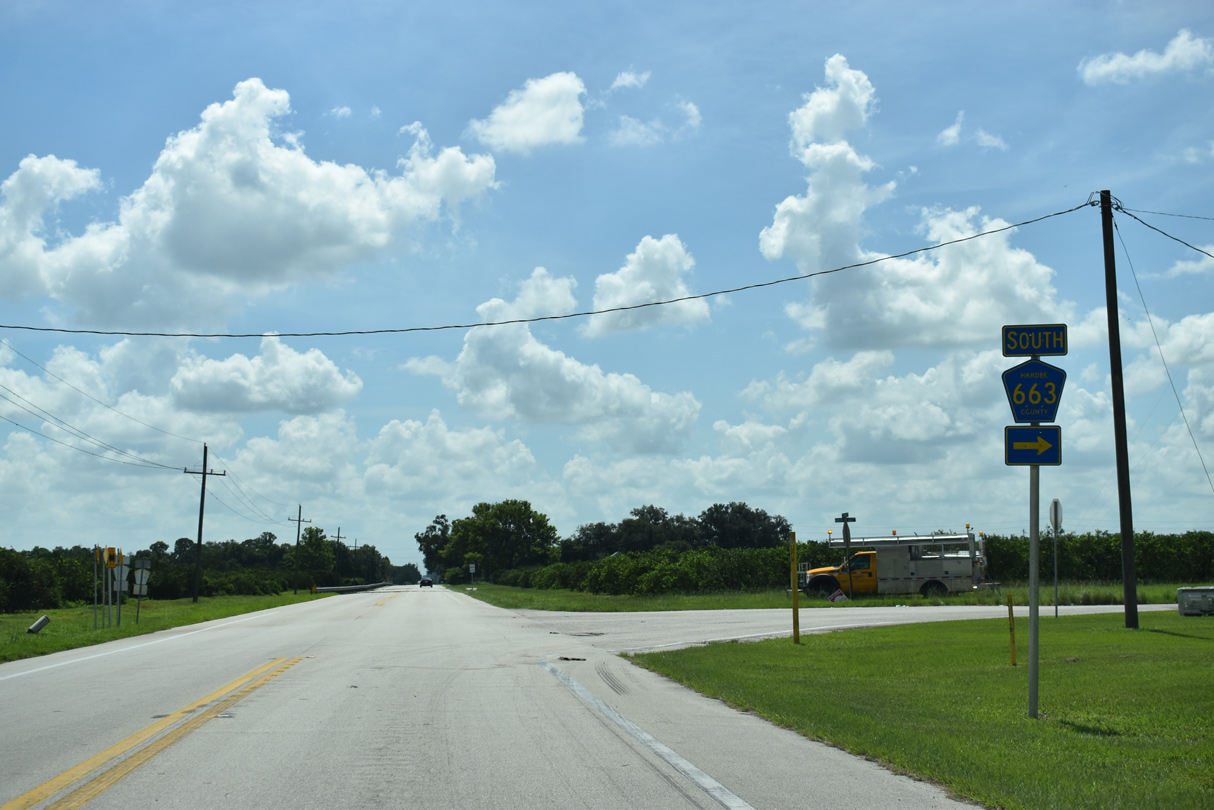
SR 663 runs 7.85 miles south along the CSX Railroad to Vandulah and SR 64 at Ona.
07/02/19

07/02/19
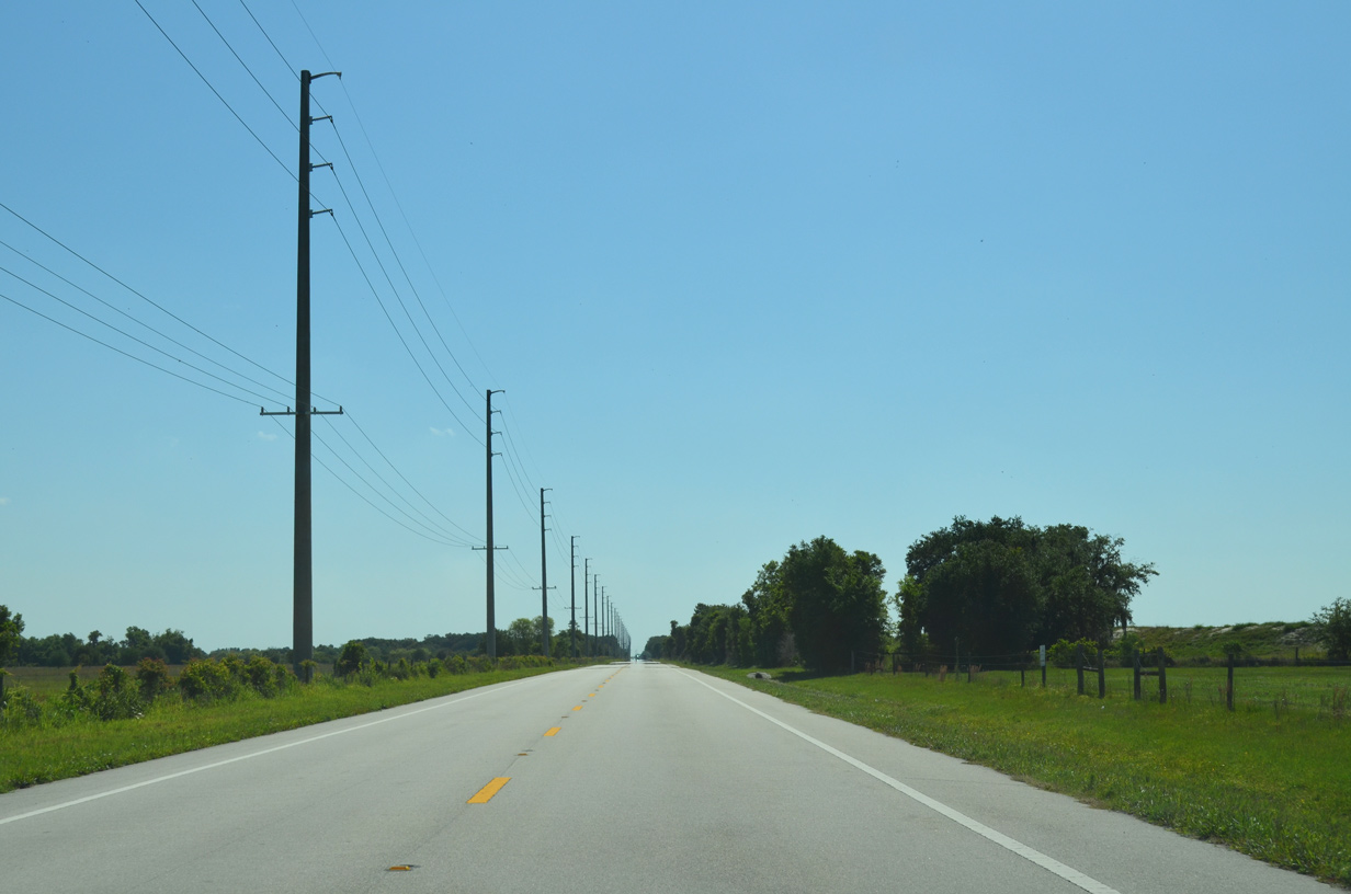
SR 62 east lowers from 100 feet above sea level to cross Doe Branch.
07/02/19

07/02/19
Reassurance marker posted ahead of Mansfield Road north on SR 62 east.
07/02/19
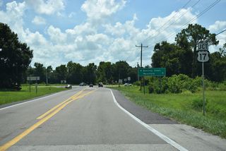
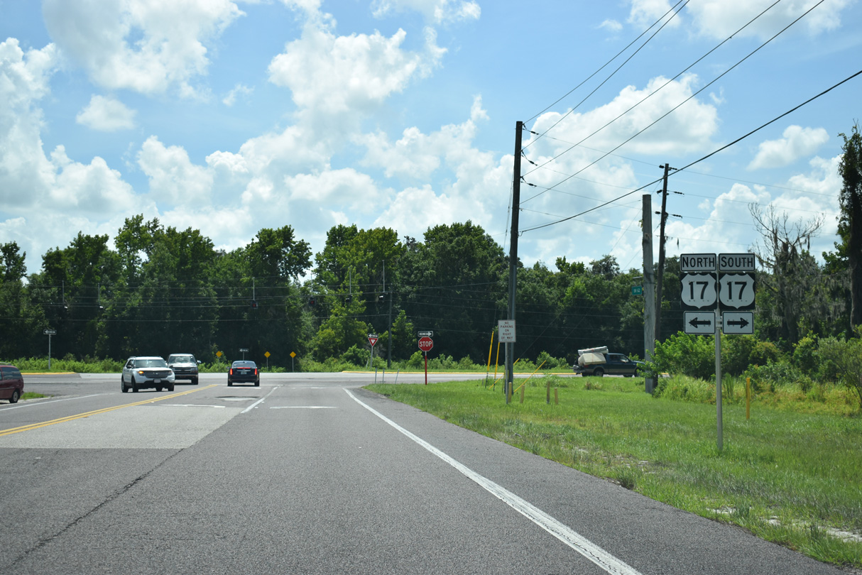
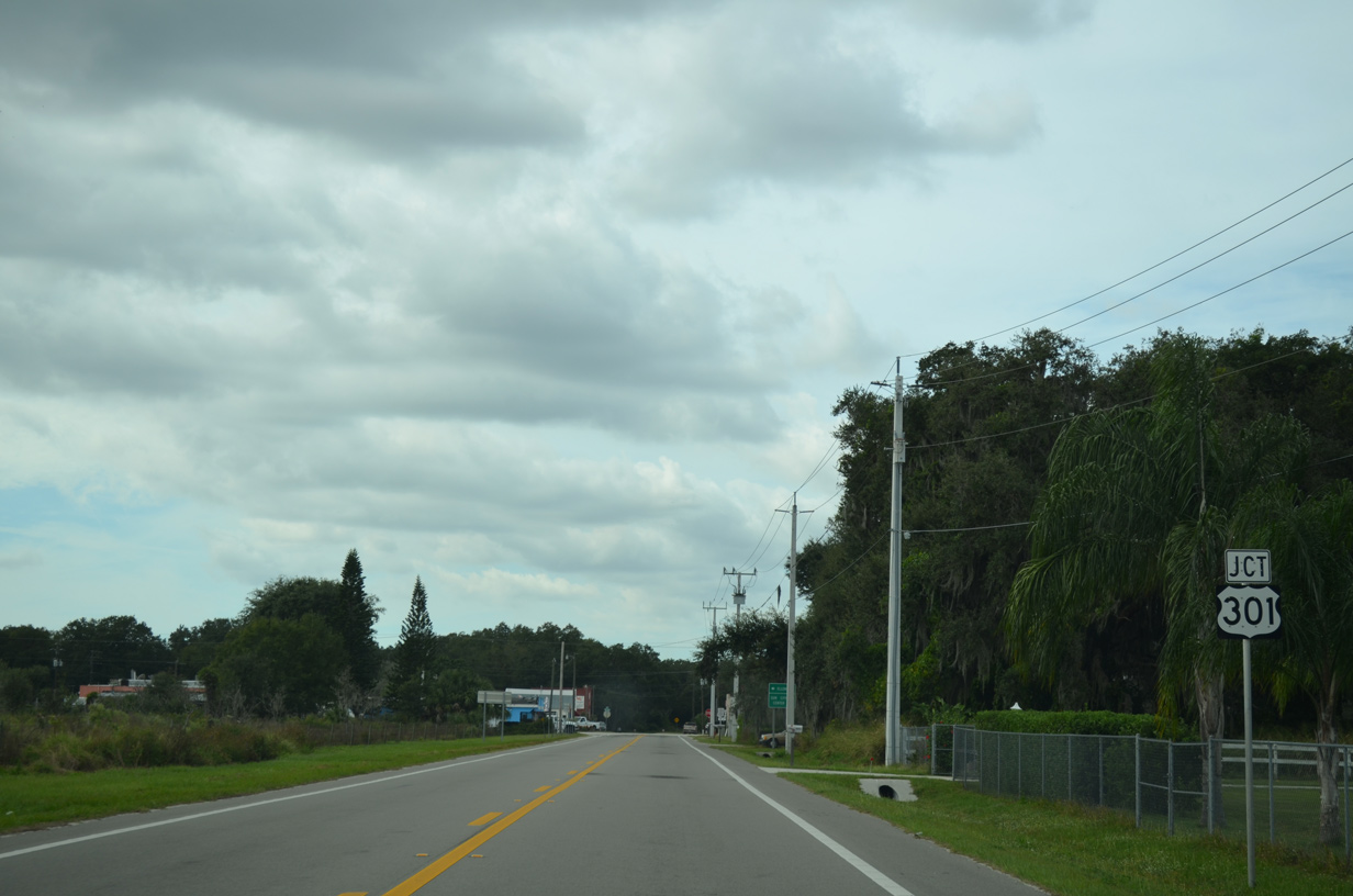
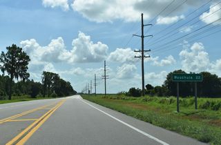
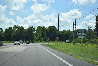
SR 62 concludes at U.S. 17 in a rural area midway between Wauchula and Bowling Green.
07/02/19

07/02/19
07/02/19
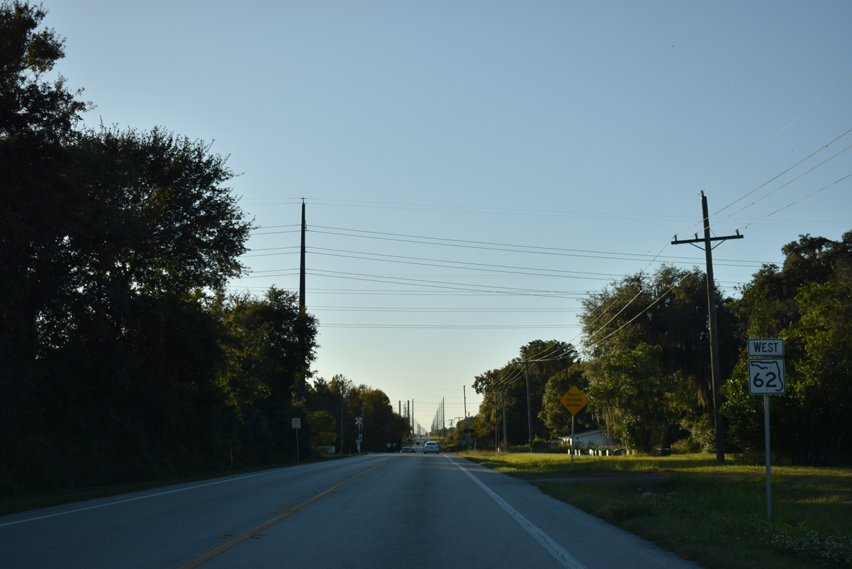
West
Confirming marker posted west between the south and north legs of CR 663 at Fort Green Springs.
12/06/19
SR 62 lowers to cross Shirttail Branch at the settlement of Fort Green Springs.
12/06/19
CR 663 continues north from SR 62 and Fort Green Springs to Fort Green and the Polk County line. Fort Green Road extends north to Streamsong Golf course and Bradley Junction.
12/06/19
12/06/19
12/06/19
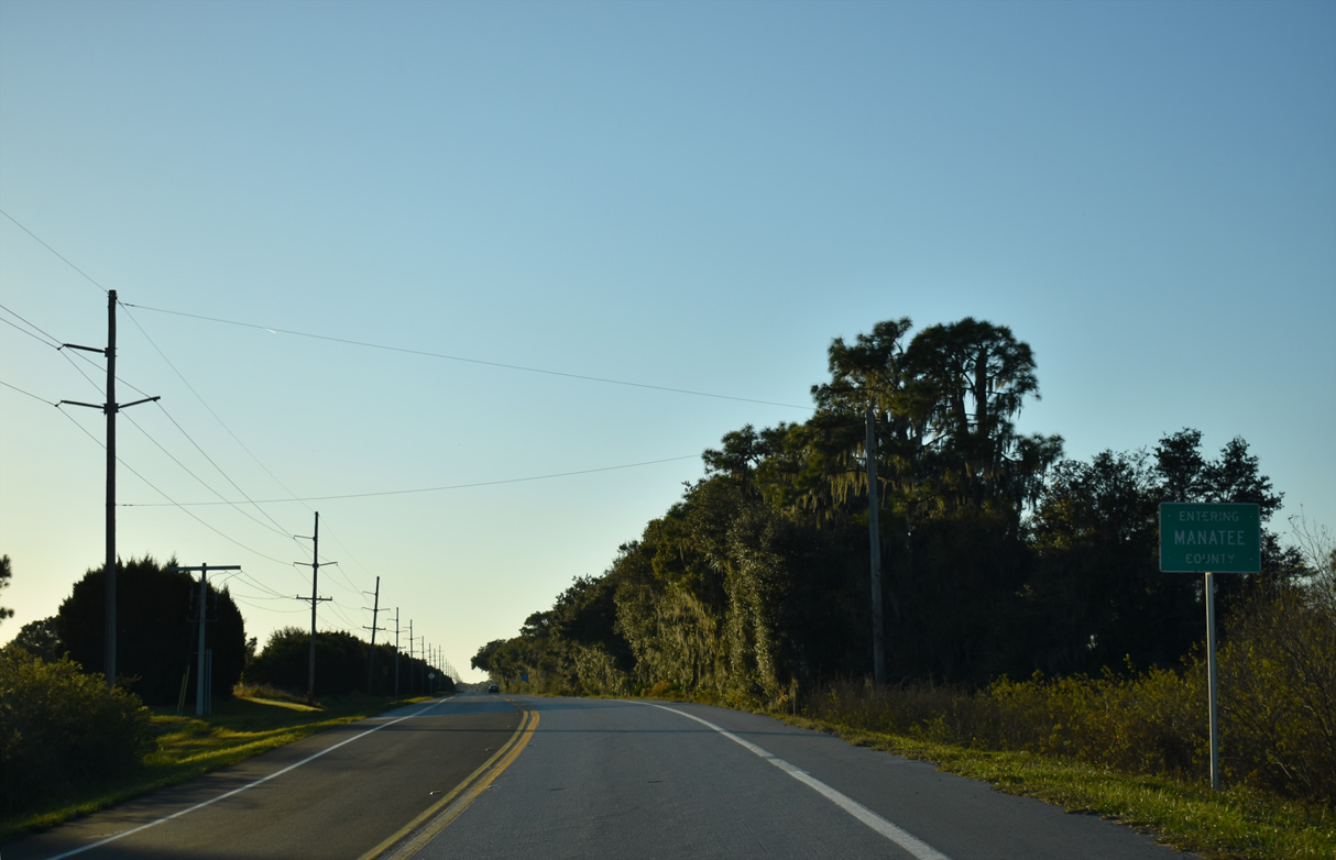
SR 62 enters Manatee County west ahead of the Duke Energy Duette Solar Farm.
12/06/19
12/06/19
SR 62 west of Duette Road.
04/26/14
SR 37 angles 5.53 miles southwest from the four corners of Hardee, Hillsborough, Manatee and Polk Counties to SR 62 at Duette.
12/06/19

SR 37 travels north to Bradley Junction, Mulberry and Lakeland in western Polk County.
12/06/19
12/06/19
12/06/19

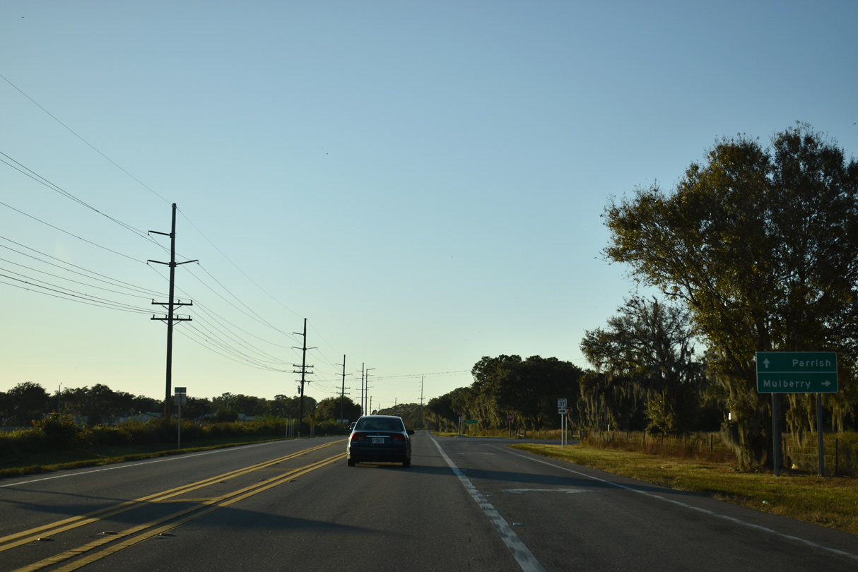
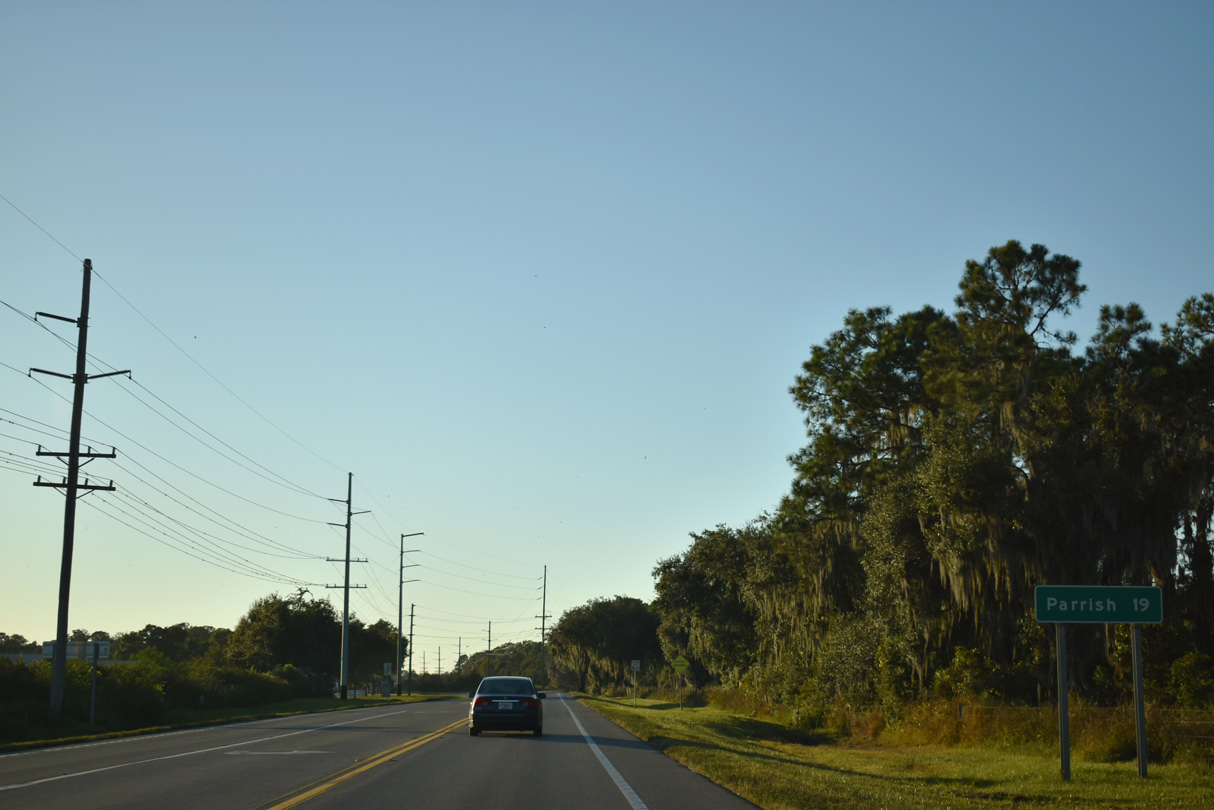
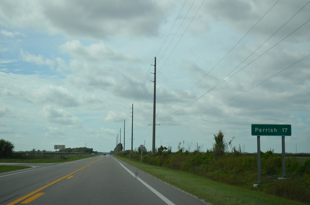
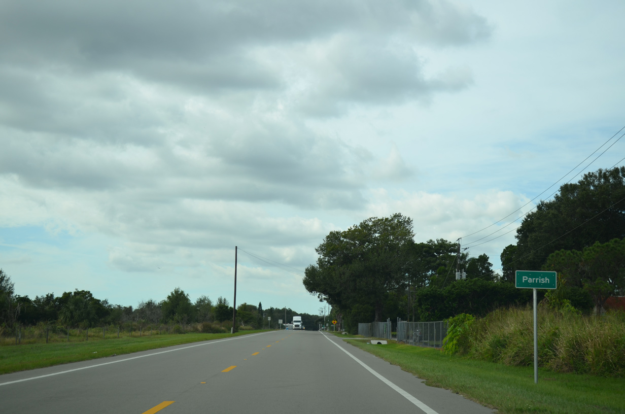
The unincorporated community of Parrish lies 19 miles west of SR 37 along U.S. 301.
12/06/19
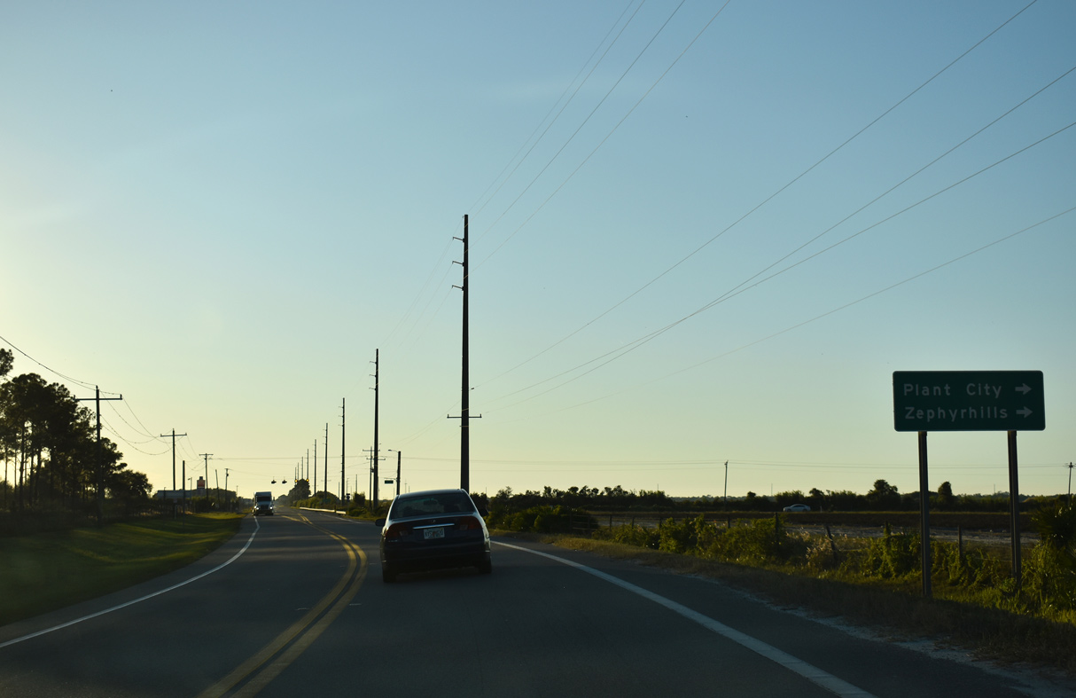
CR 39 north travels 24.61 miles north from SR 62 to SR 60 at Hopewell. SR 39 extends north from there to Plant City and Zephyrhills.
12/06/19

CR 39 is a rural highway north to SR 674 at Fort Lonesome and CR 640 at Pinecrest in eastern Hillsborough County.
12/06/19

08/10/13

11/11/13

11/11/13

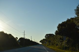
The reassurance marker posted west of Scarborough Road was removed by 2023.
11/11/13
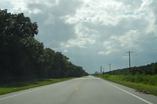
Florida Power & Light (FPL) Manatee Power Plant appears along the western horizon from SR 62 beyond Saffold Road.
08/10/23

SR 62 west at Corbett John Road and south of Sand Prairie.
10/15/07

11/11/23

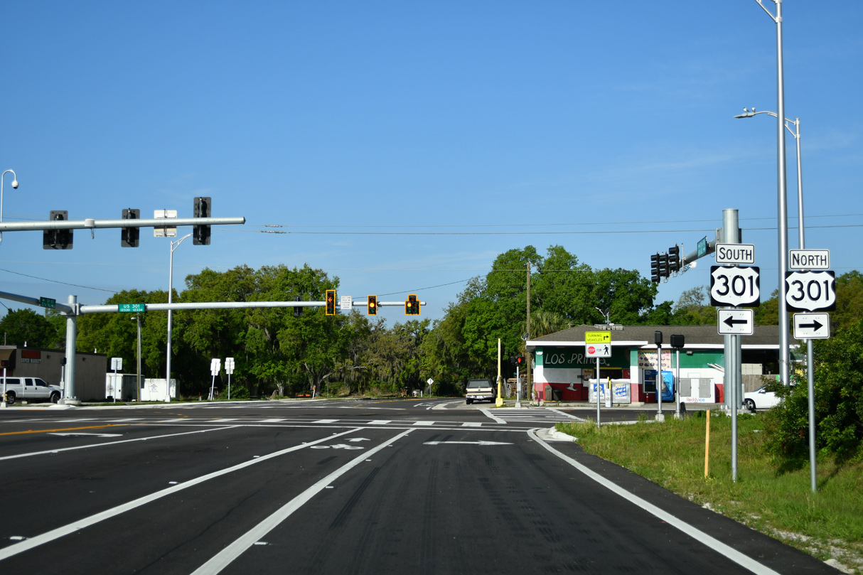
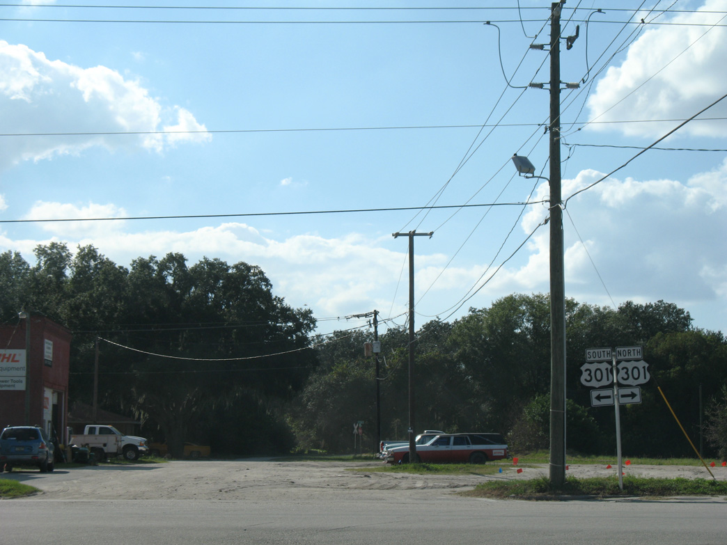
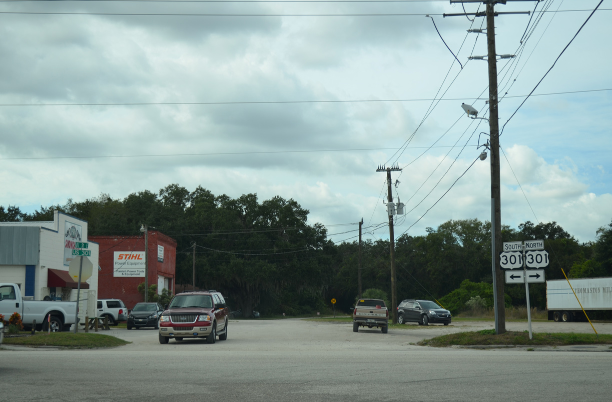
SR 62 shifts southward to U.S. 301 onto realignment constructed in 2023/24. The old alignment defaults onto U.S. 301 north.
03/13/24
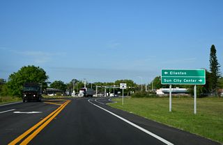
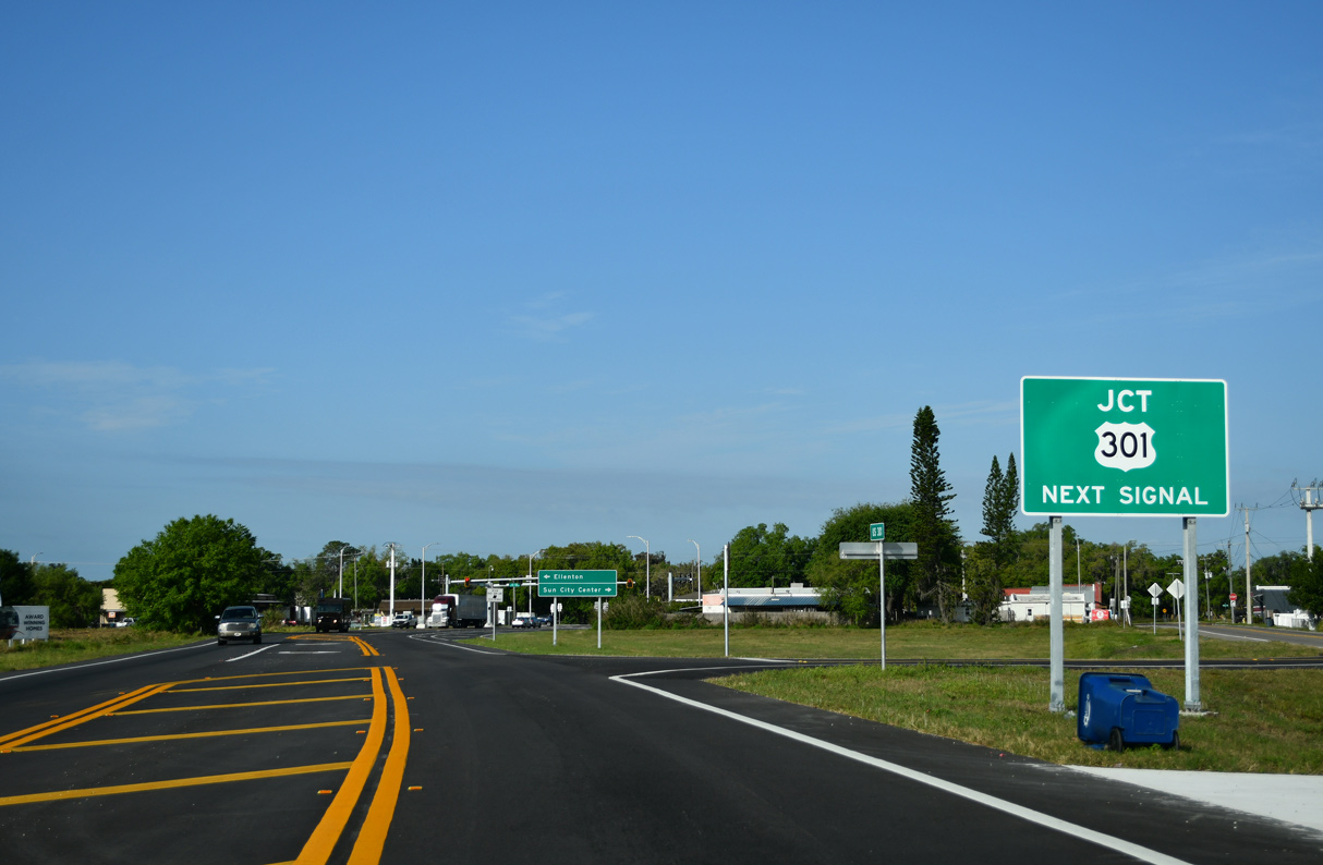
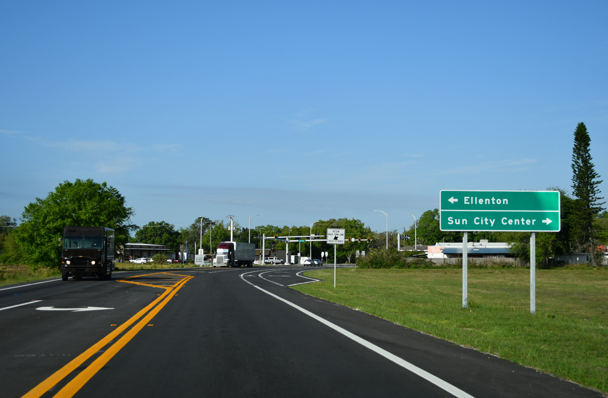
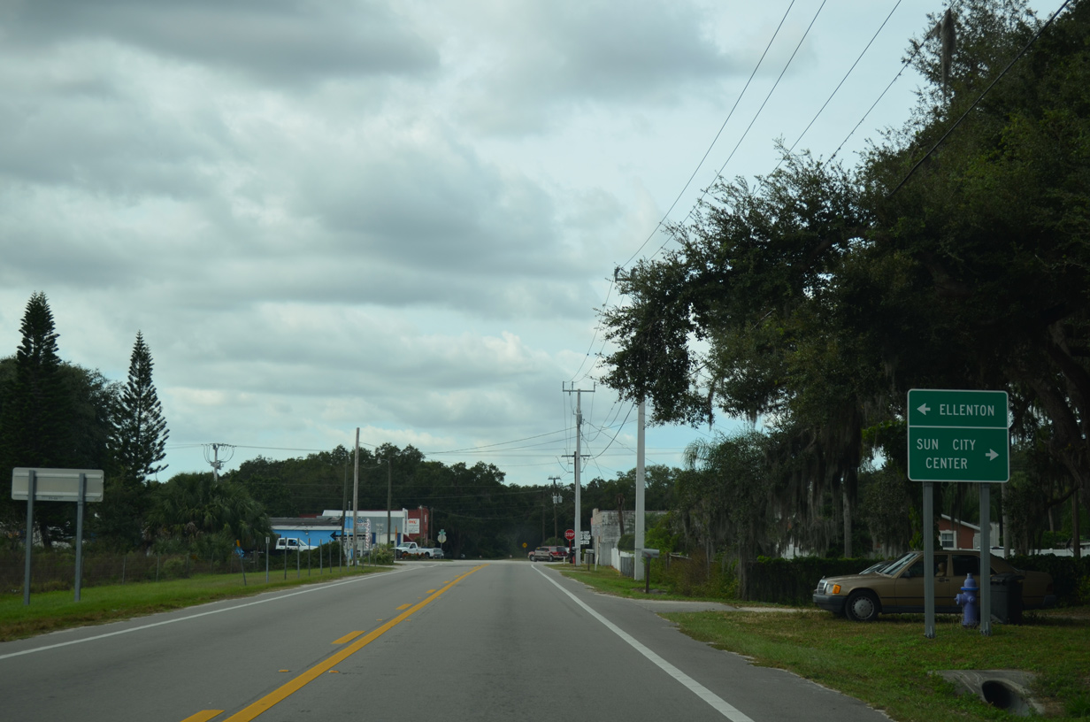
U.S. 301 is a rapidly growing suburban corridor leading southwest to Ellenton and Palmetto and north to Sun City Center and Riverview.
03/13/24

SR 62 ends across from Erie Road. Erie Road is unsigned CR 683 west to 69th Street E at Erie.
03/13/24
West - Old Alignment
SR 62 previously extended west to U.S. 301 at 81st Street E in Parrish.
11/11/13

11/11/13
10/15/07

10/15/07
11/11/23
Page Updated Monday May 13, 2024.