
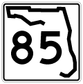
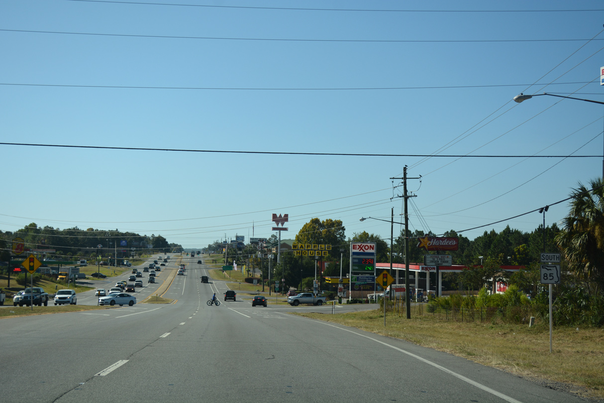
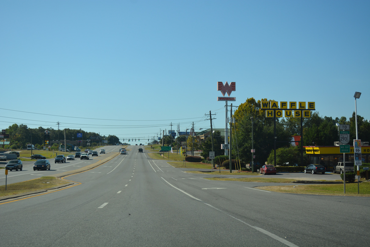
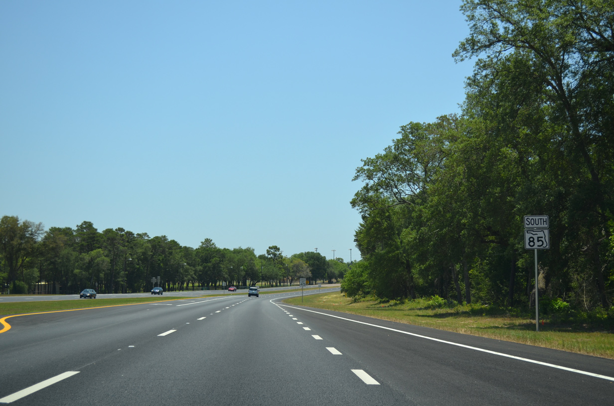
State Road 85 South - Laurel Hill to Niceville
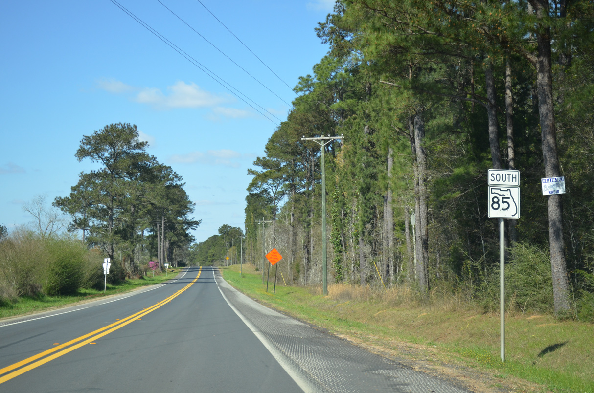
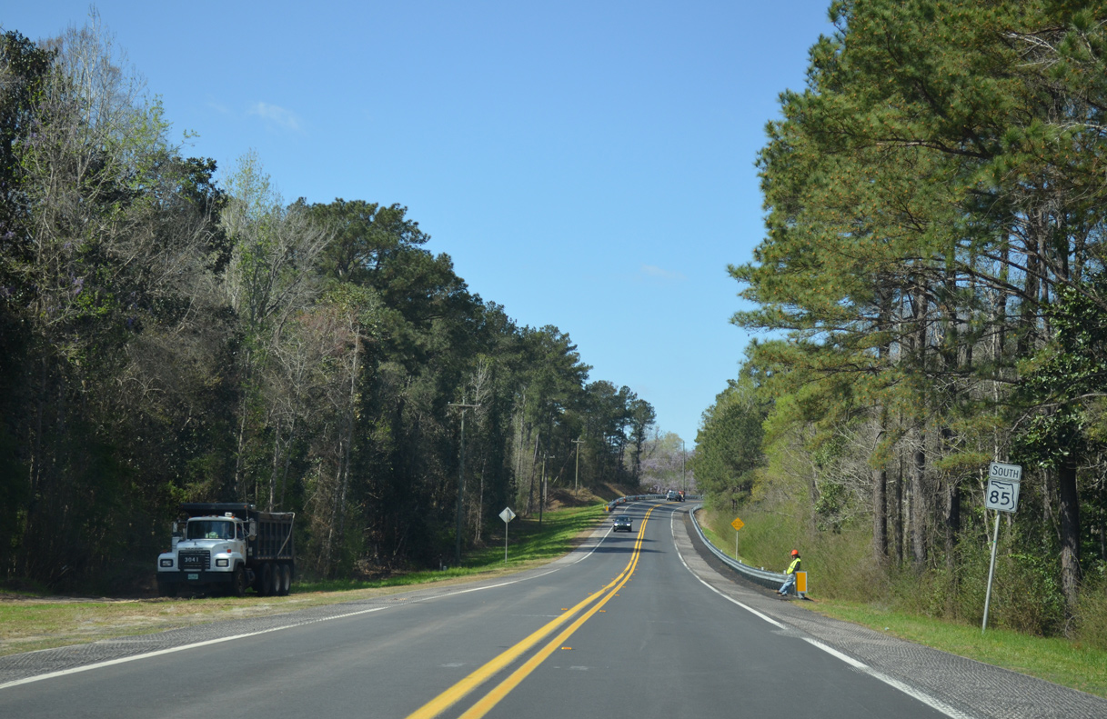
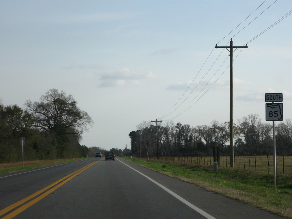
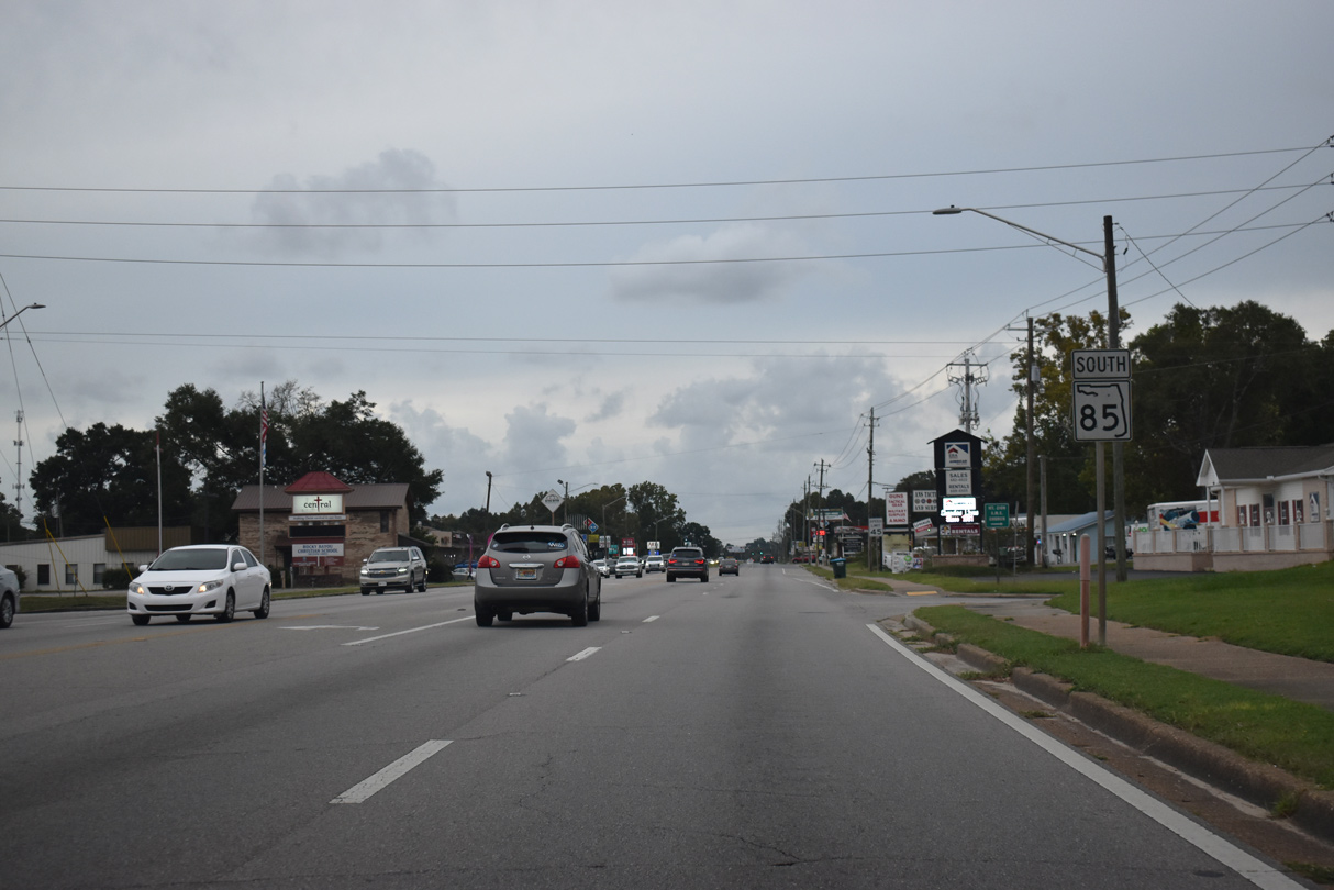
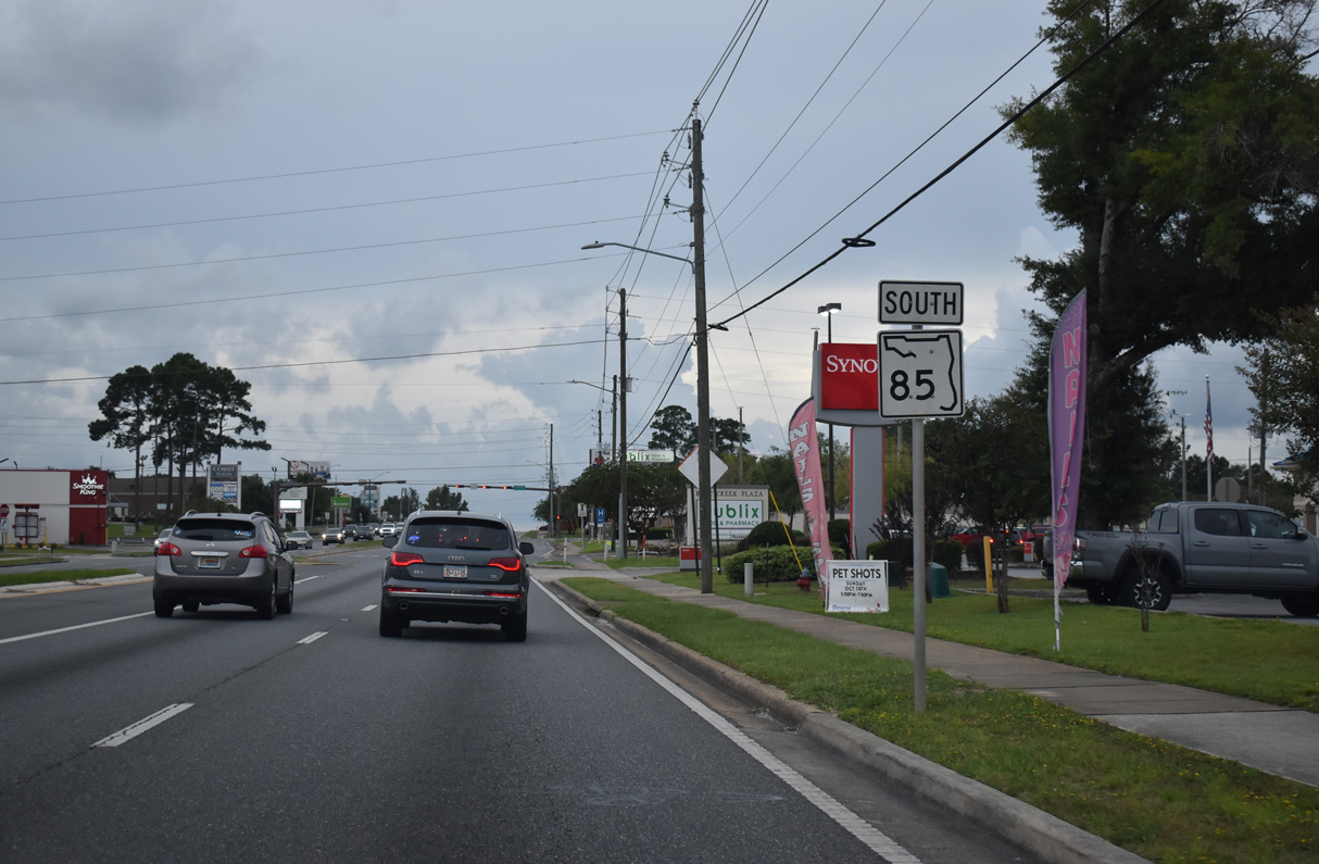
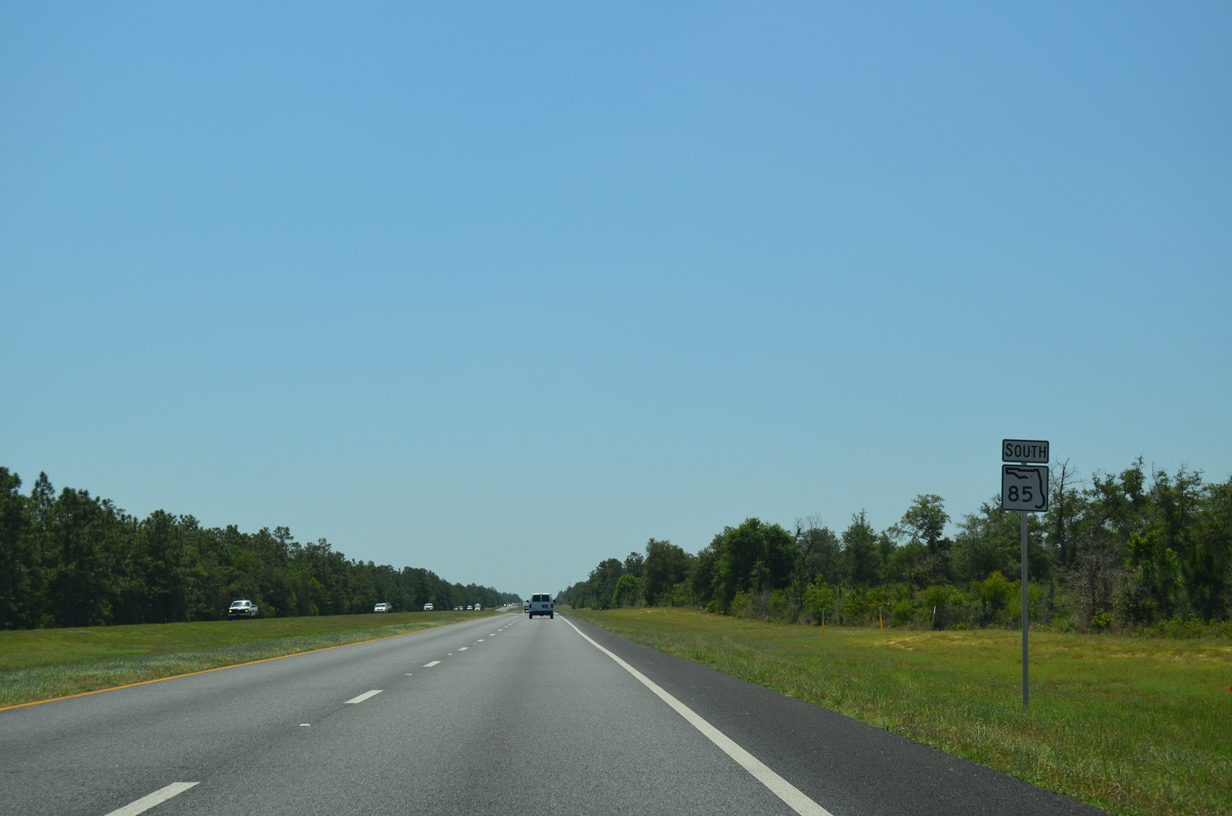
 South
South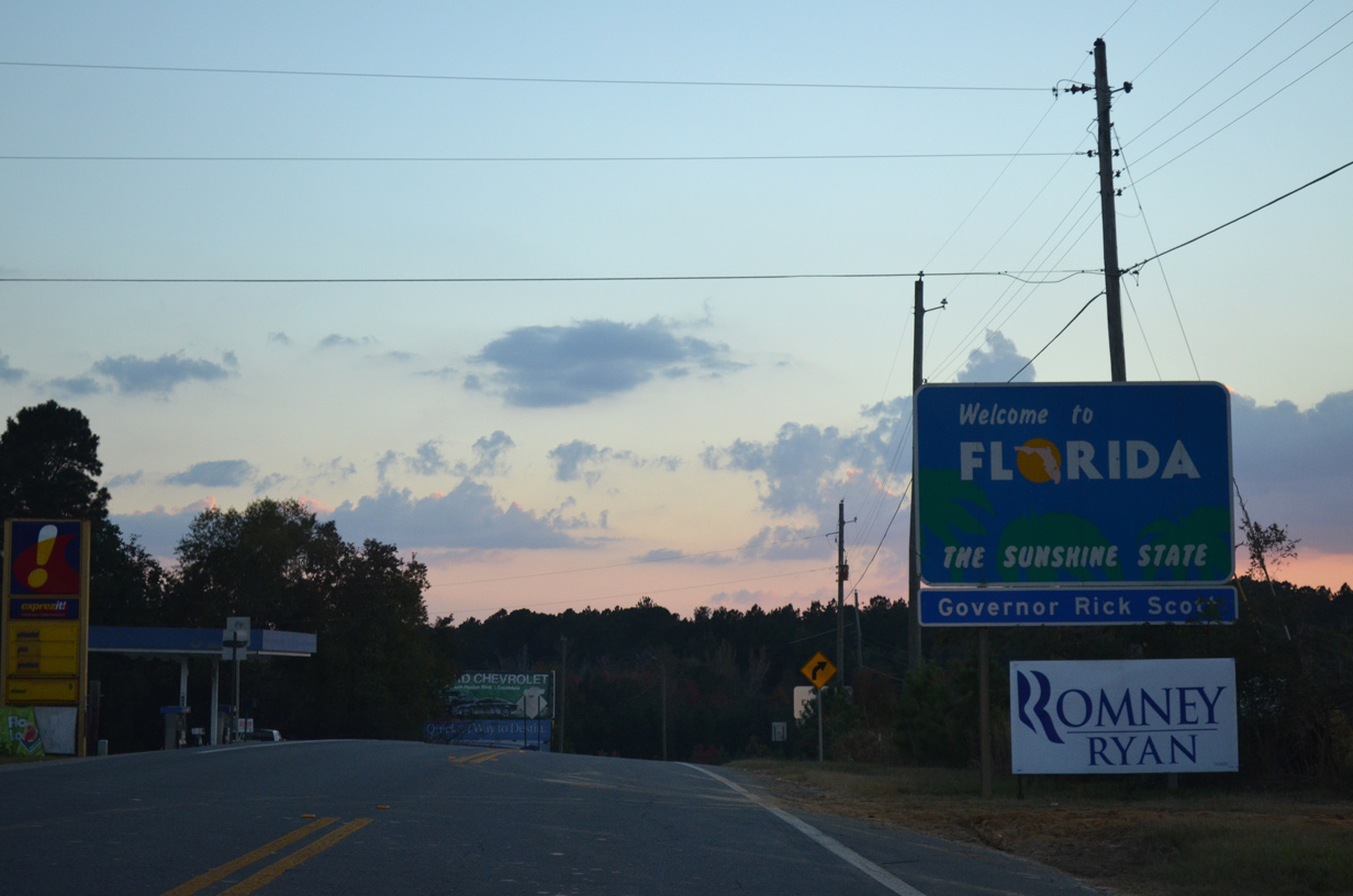
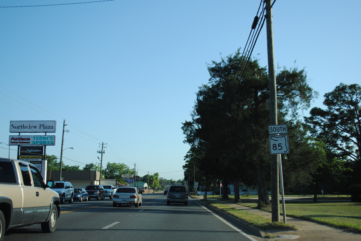
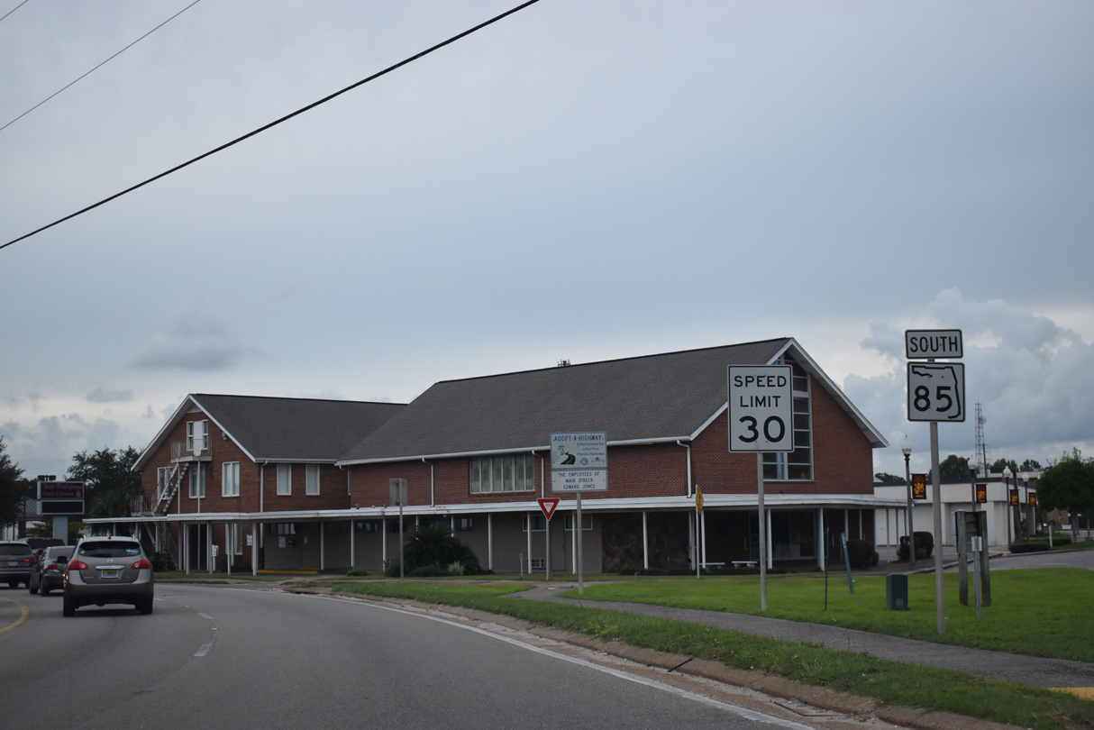
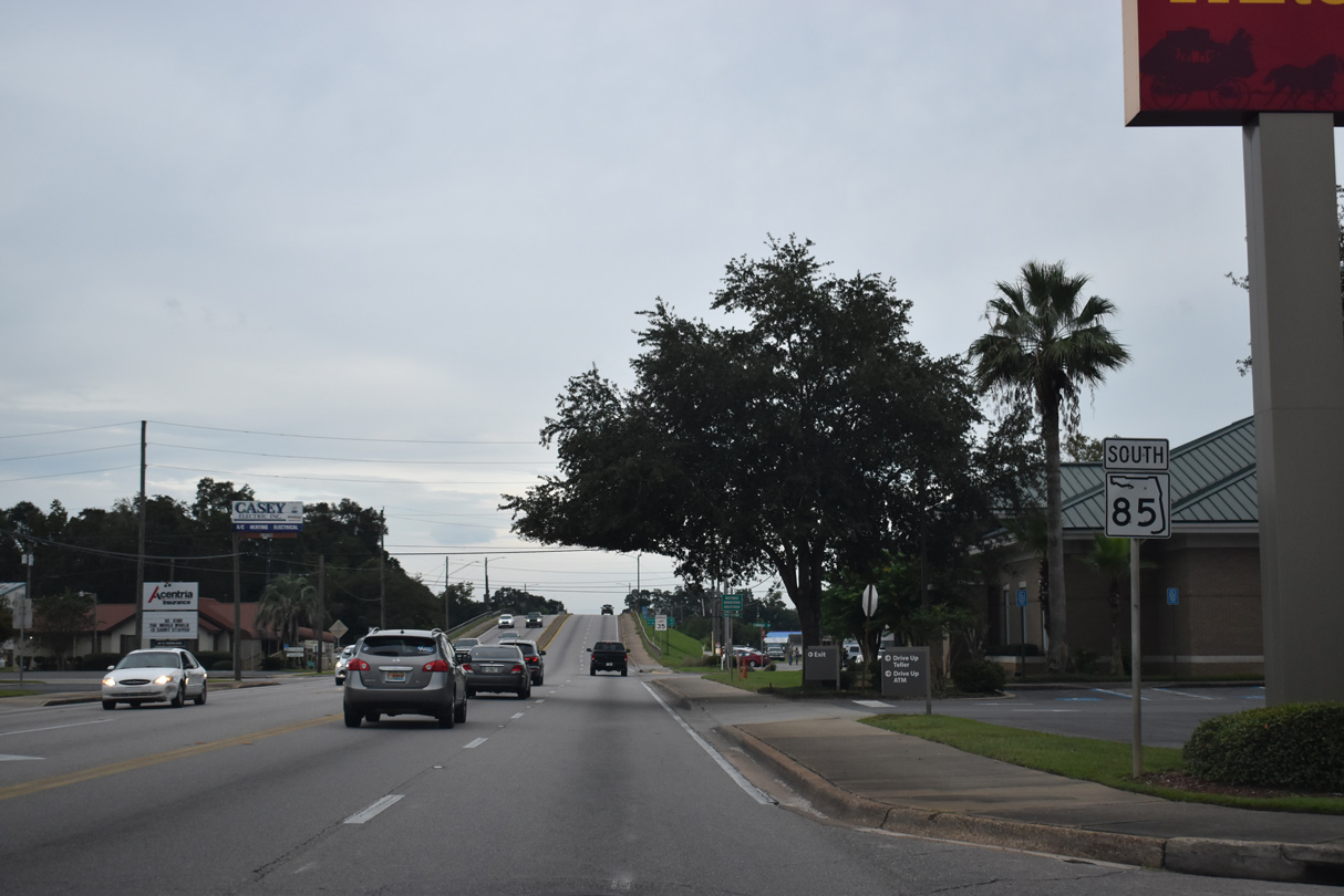
Alabama State Route 55 (3rd Street) south in Florala becomes Florida State Road 85 to the west of Lake Jackson.
11/03/12
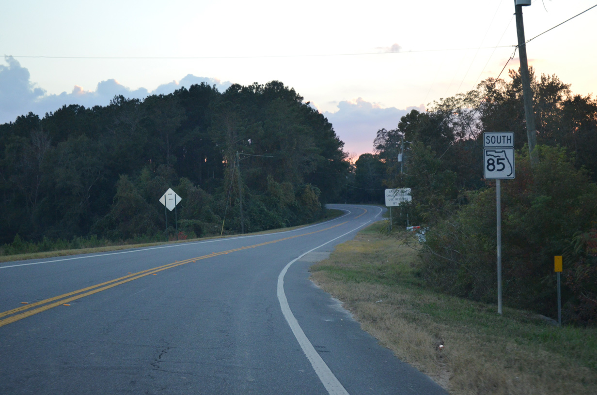
The first reassurance marker for SR 85 south precedes Double Bridge Road and the settlement of Clear Springs.
11/03/12
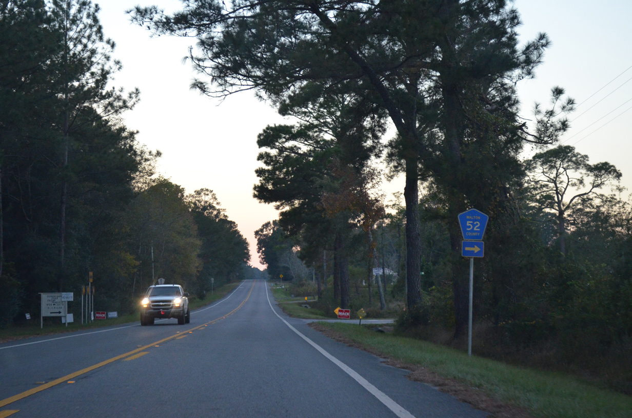
Perkins Road (CR 52) stems 1.9 miles north from SR 85 to Escambia County Route 57 at the Alabama state line.
11/03/12
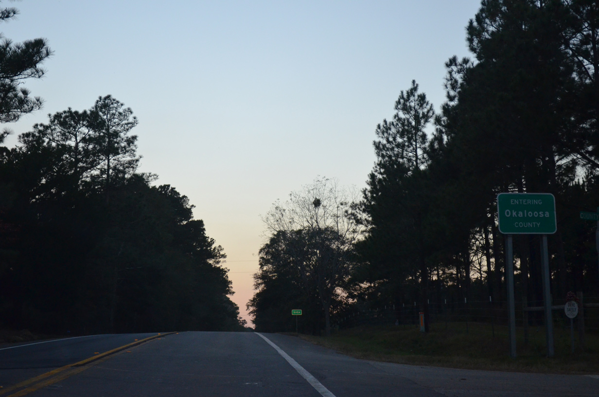
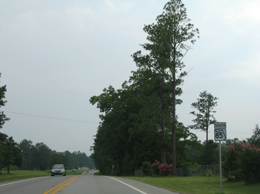
Southbound SR 85 proceeds west into Okaloosa County beyond Fleming Creek.
11/03/12
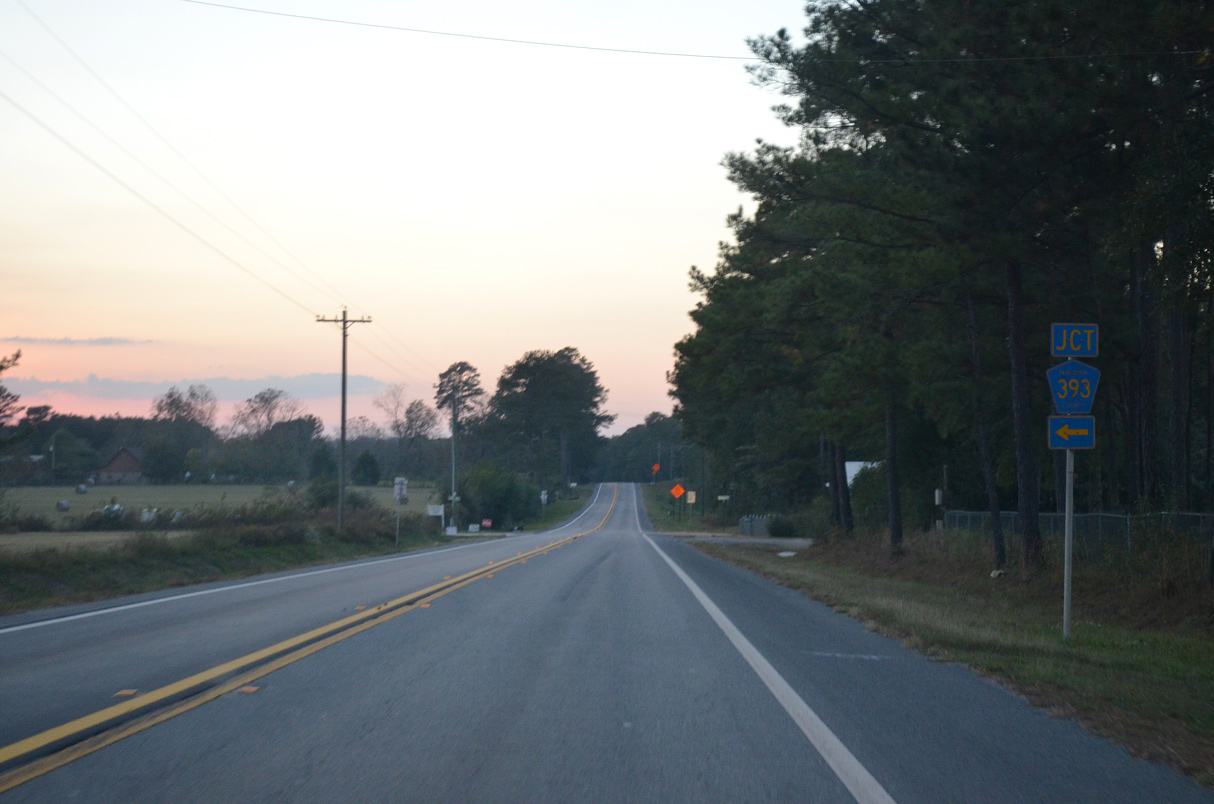
CR 393 bee lines south from SR 85 at the community of Svea 15.72 miles to U.S. 90 at Deerland.
11/03/12
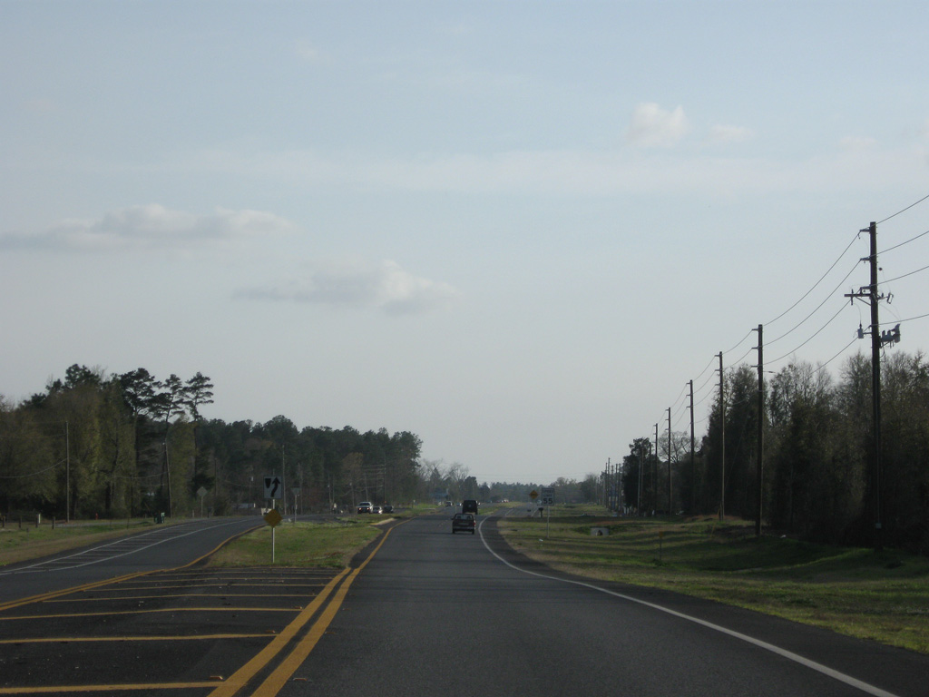
Heading west from CR 393 along SR 85 southbound at Svea.
03/26/13
The reassurance shield posted west of Horsehead Creek was removed sometime after 2016.
03/26/13
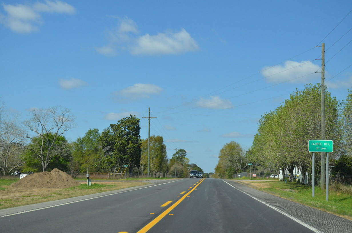
Southbound SR 85 enters the rural city of Laurel Hill just ahead of Ludlum Road.
03/26/13
CR 85A branches west from SR 85 along 2nd Avenue to the Laurel Hill city center.
03/26/13
SR 85 loops north across Laurel Hill before meeting CR 85A (2nd Avenue) again by the city center.
07/13/07
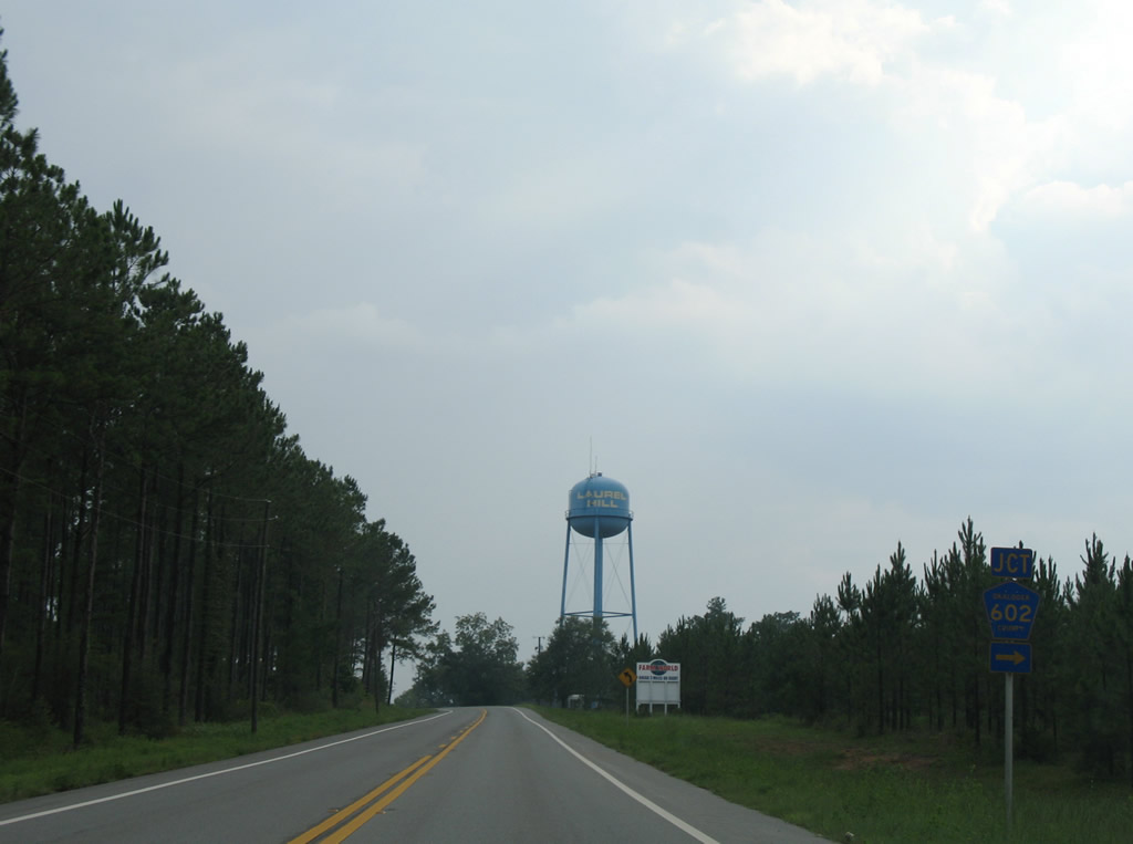
Okaloosa County Road 602 loops 5.22 miles west from SR 85 to CR 2 near Oak Grove.
07/13/07
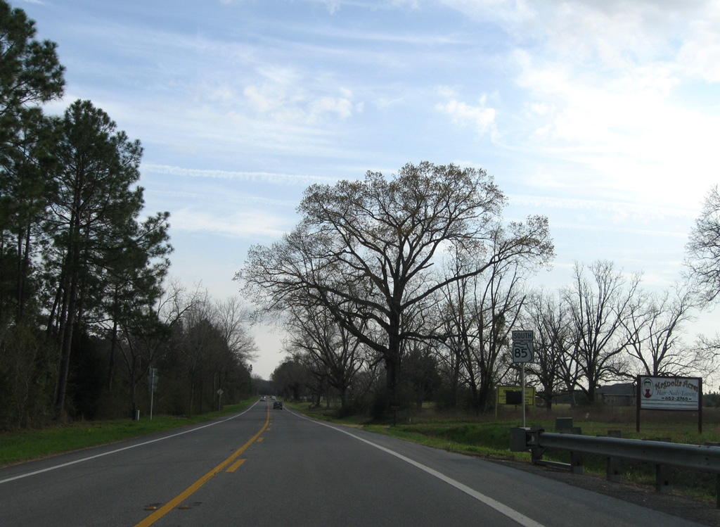
SR 85 intersects CR 602 west at 300 feet above sea level.
03/09/09
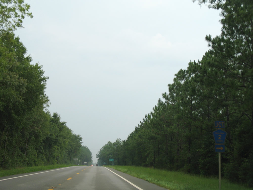
Okaloosa County Road 2 stems west from SR 85 to Oak Grove and Blackwater River State Forest.
07/13/07
The western leg of CR 2 travels 9.43 miles west from SR 85 to SR 189 at Blackman.
07/13/07
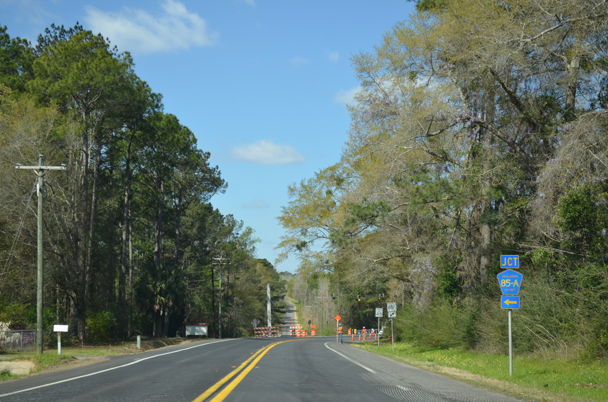
CR 85A overlays the loop along Bill Lundy Road 4.14 miles west from SR 85 to Clear Springs.
03/09/09
Confirming marker posted south of CR 85A (Bill Lundy Road) and Bradley Road.
03/09/09
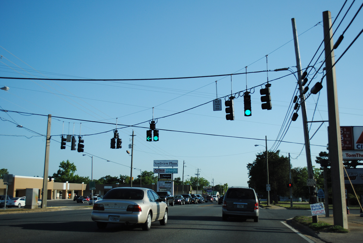
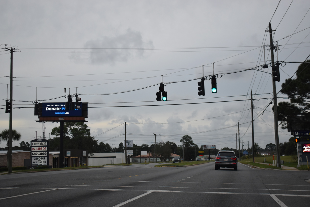
SR 85 expands to a four lane, divided highway south ahead of Auburn Road, where traffic lights were added by 2022.
03/09/09
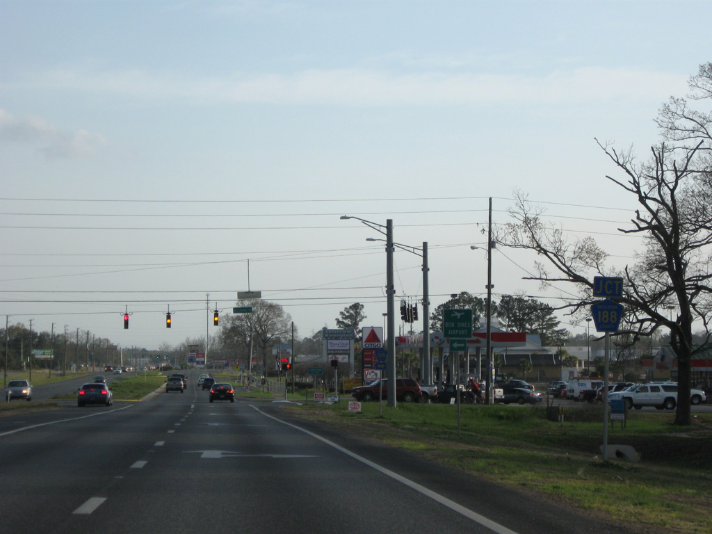
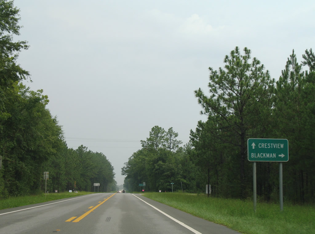
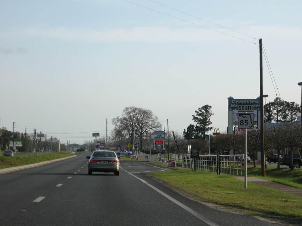
Measuring 12.39 miles in length, CR 188 loops east from SR 85 along Garden City Road and Airport Road and southwest along Old Bethel Road to U.S. 90 at the Southwest Crestview Bypass.
03/09/09
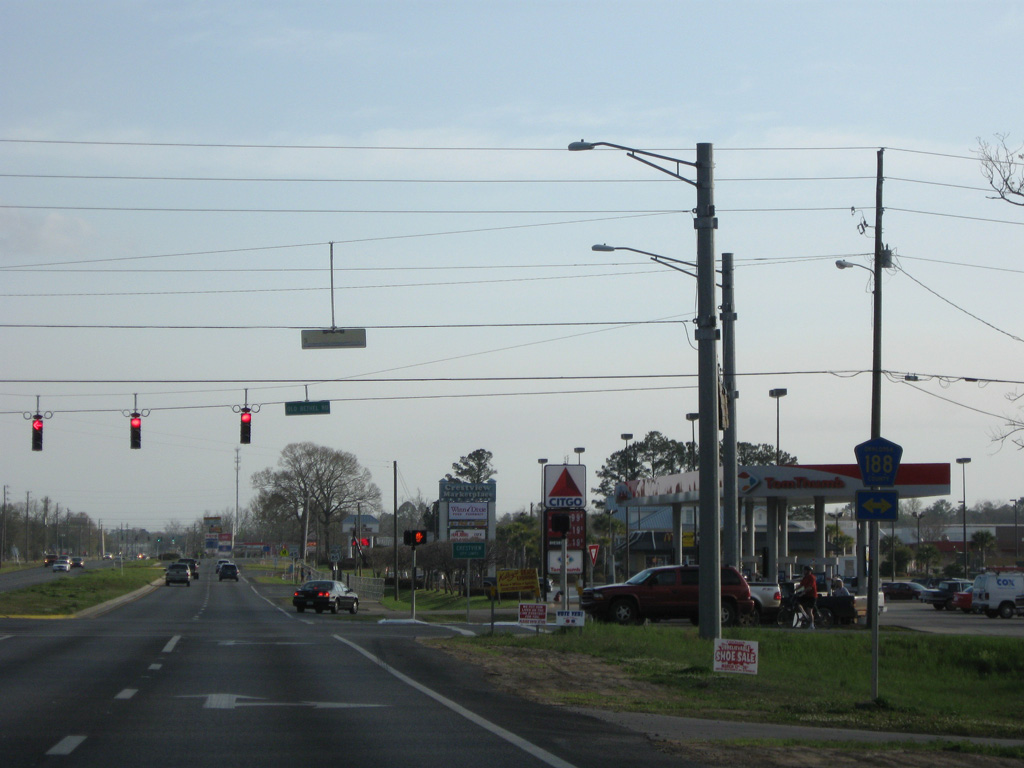
CR 188 (Airport Road) east to John Givens Road south connects SR 85 with Bob Sikes Airport (CEW).
03/09/09
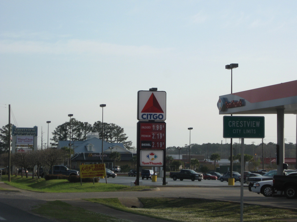
The Crestview city limits extend north along SR 85 (Ferdon Boulevard) to CR 188 (Old Bethel Road).
03/09/09
Shopping centers line both sides of SR 85 (Ferdon Boulevard) south of CR 188. Industrial Drive forms an east service road.
03/09/09
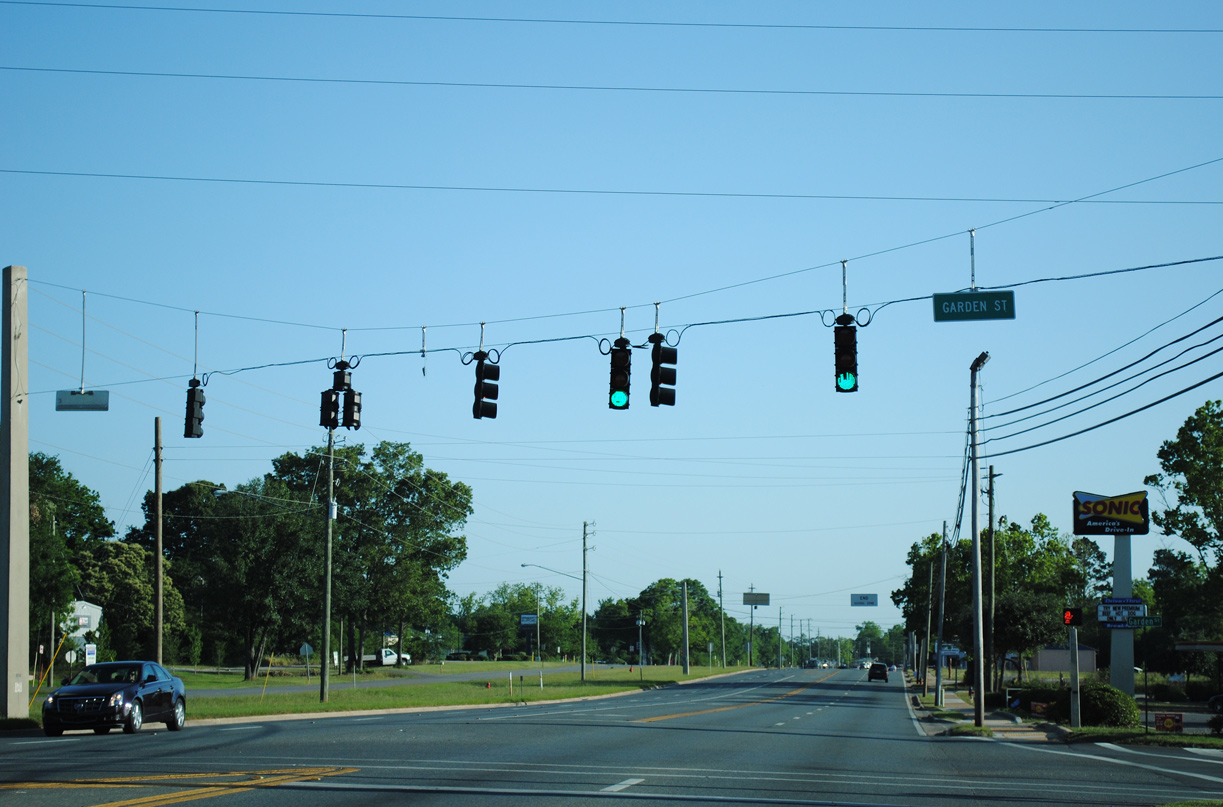
Garden Street parallels SR 85 (Ferdon Boulevard) south from Crestview High School to Jones Road in north Crestview.
04/30/11
SR 85 (Ferdon Boulevard) south between 3rd Avenue and Park Lane.
03/09/09
Stillwell Boulevard west and 8th Avenue east meet SR 85 (Ferdon Boulevard) at the succeeding traffic light southbound.
04/30/11
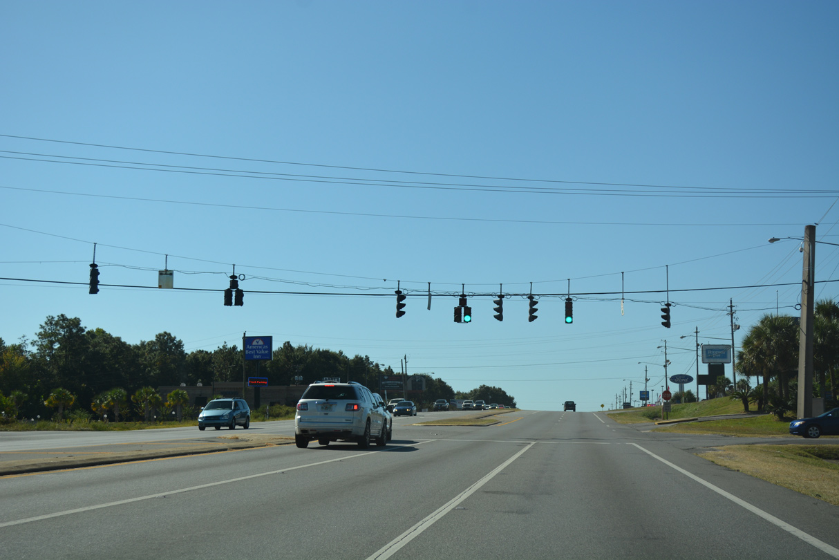
SR 85 continues south from Stillwell Boulevard along a five lane commercial boulevard.
04/30/11
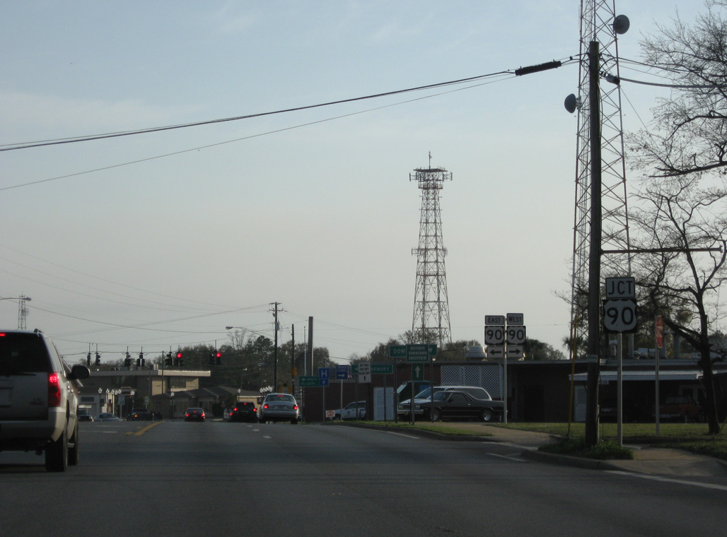
The junction shield for U.S. 90 on SR 85 (Ferdon Boulevard) south at McCaskill Street was removed by 2021.
03/09/09
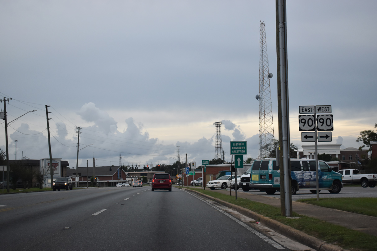
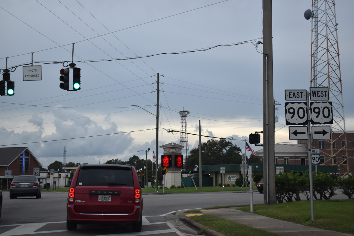
SR 85 (Ferdon Boulevard) south converges with U.S. 90 (James Lee Boulevard) ahead of Downtown Crestview.
10/02/21
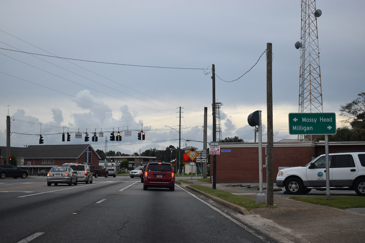
U.S. 90 (James Lee Boulevard) connects Crestview with the unincorporated community of Milligan to the west and Mossy Head in Walton County to the east.
10/02/21
Paralleling Interstate 10, U.S. 90 leads west to Milton and Pensacola. East from Crestview, U.S. 90 travels to Defuniak Springs and Chipley.
10/02/21
Ferdon Boulevard angles southeast from U.S. 90 by Downtown Crestview.
10/02/21
Ferdon Boulevard south at Beech Avenue.
10/02/21
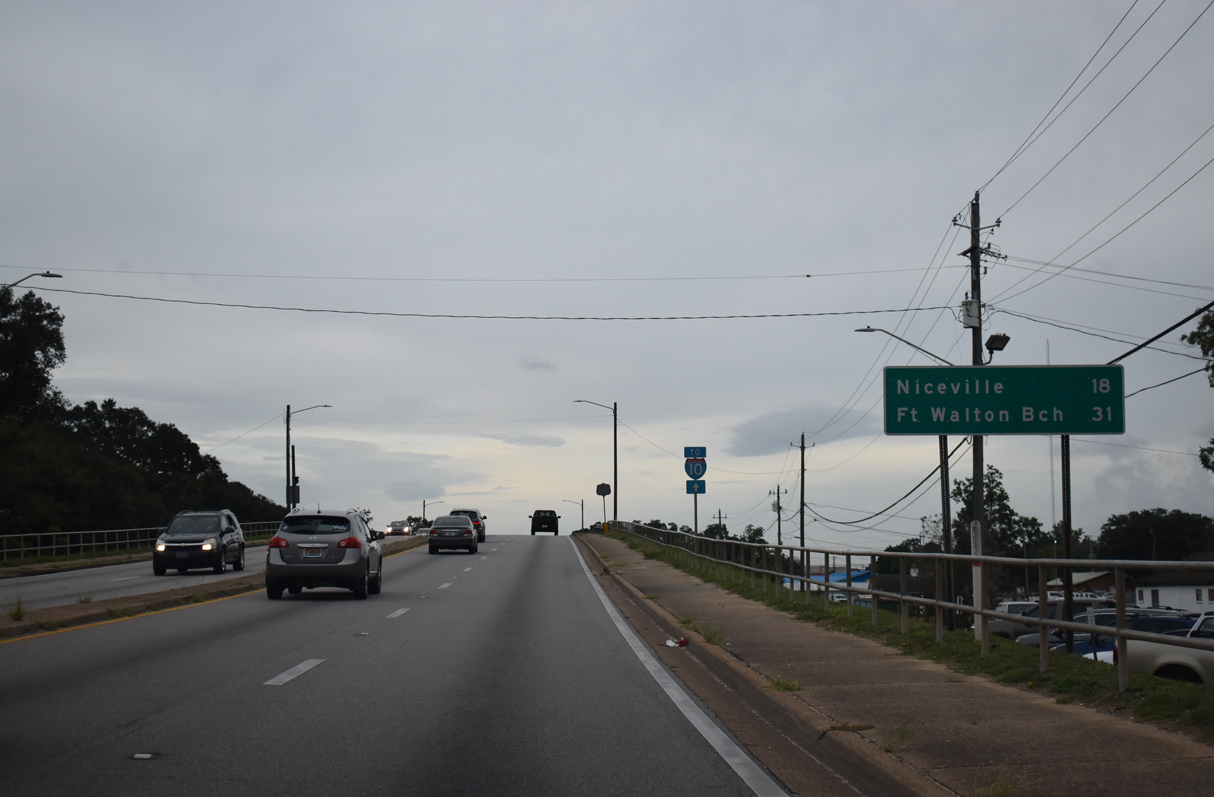
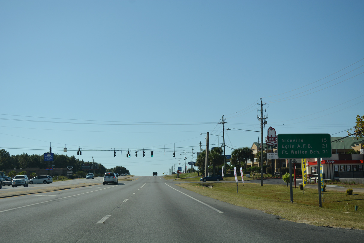
Remaining on SR 85 south through Niceville and Valparaiso leads 31 miles to Fort Walton Beach. However the coastal city is only 27 miles away via SR 85 and the bypass along SR 123 through Eglin AFB.
10/02/21
Elevated across the Hayward T. Hayes Overpass, SR 85 spans Industrial Drive by the Crestview Train Station, the CSX Railroad and Railroad Avenue (CR 280A).
10/02/21
Main Street heads southeast from Downtown Crestview to intersect SR 85 (Ferdon Boulevard) at Cane Avenue.
10/02/21
Ferdon Boulevard expands to a divided arterial south of Edney Avenue.
10/02/21
Advancing south along SR 85 (Ferdon Boulevard) at the signalized intersection with Duggan Avenue west and Aplin Road east.
10/02/21
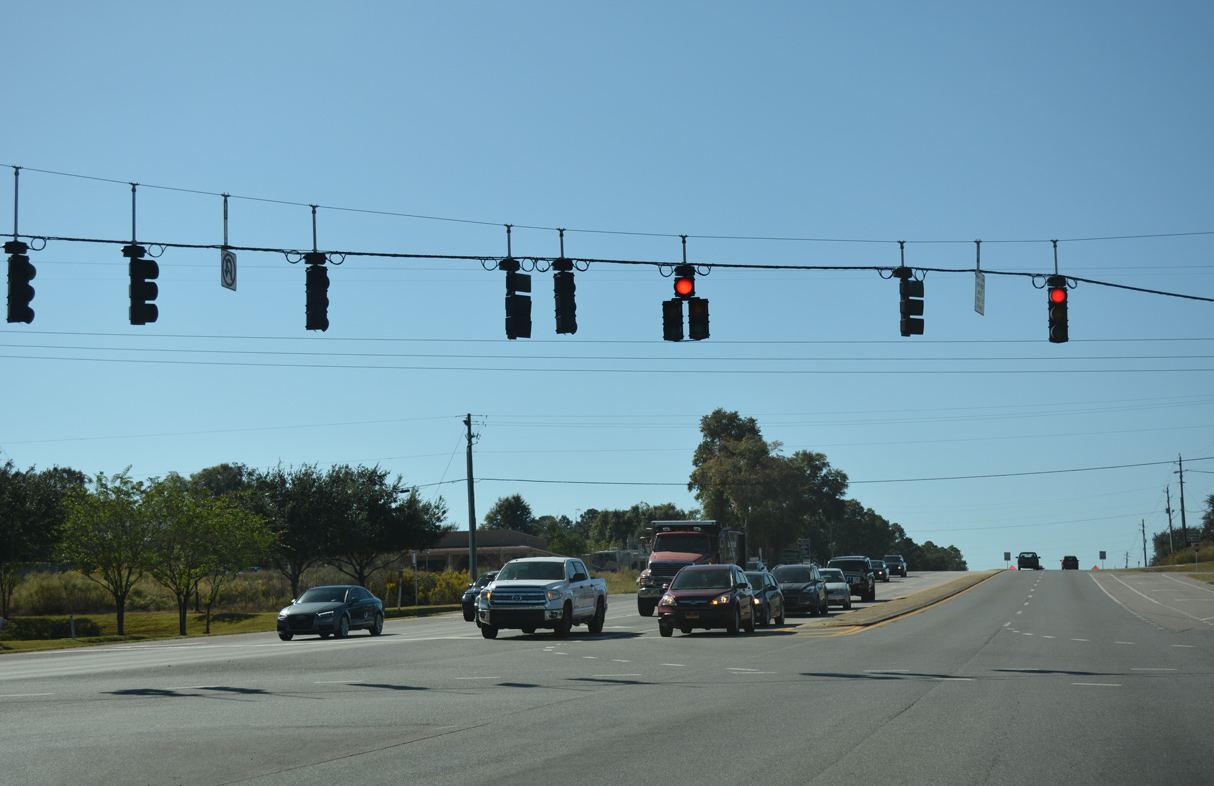
SR 85 constitutes a commercial arterial through south Crestview.
10/02/21
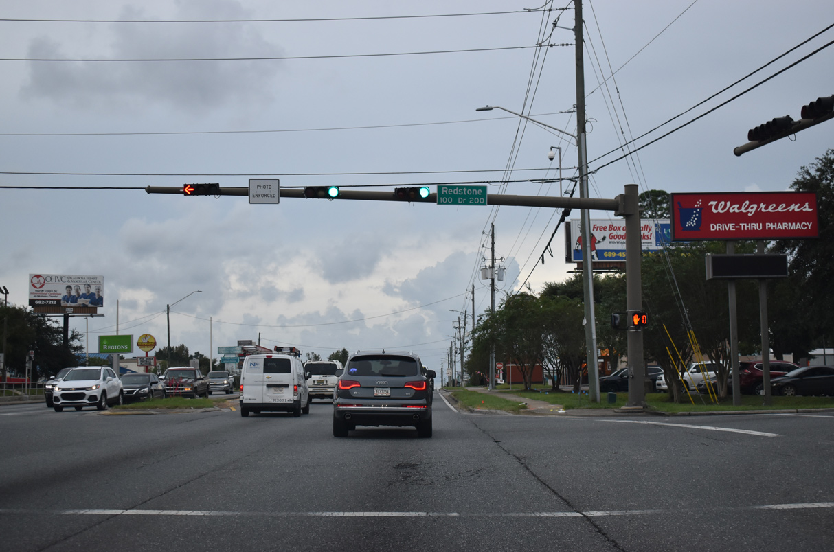
Redstone Avenue leads east from the signal at SR 85 to North Okaloosa Medical Center and the Rolling Pines neighborhood.
10/02/21
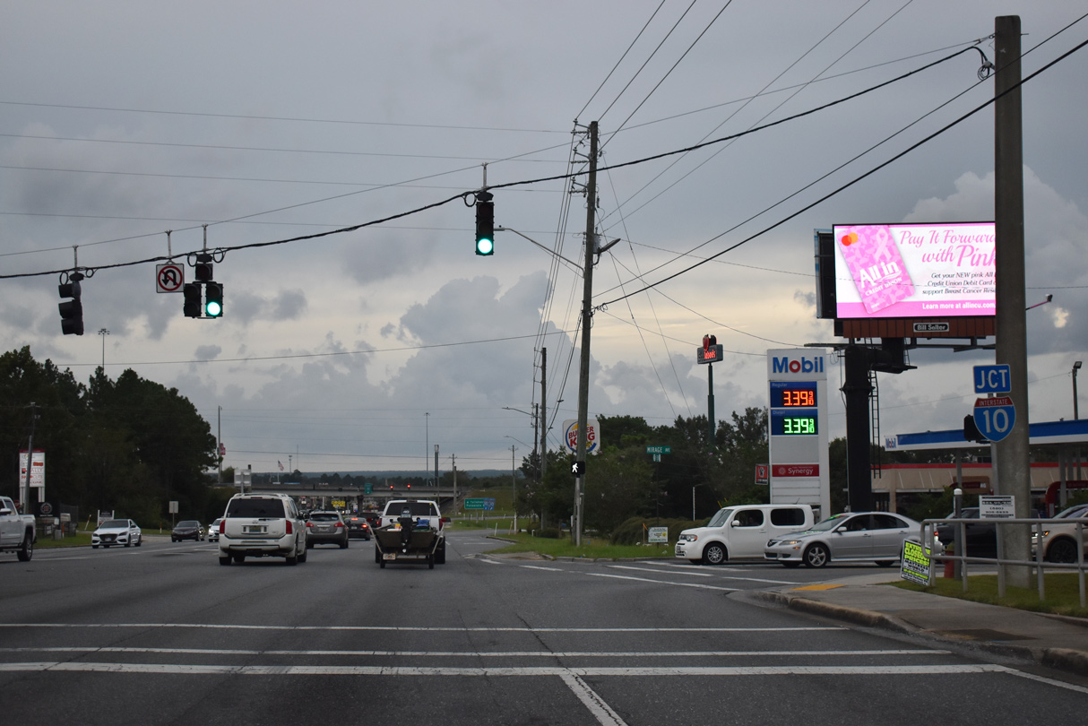
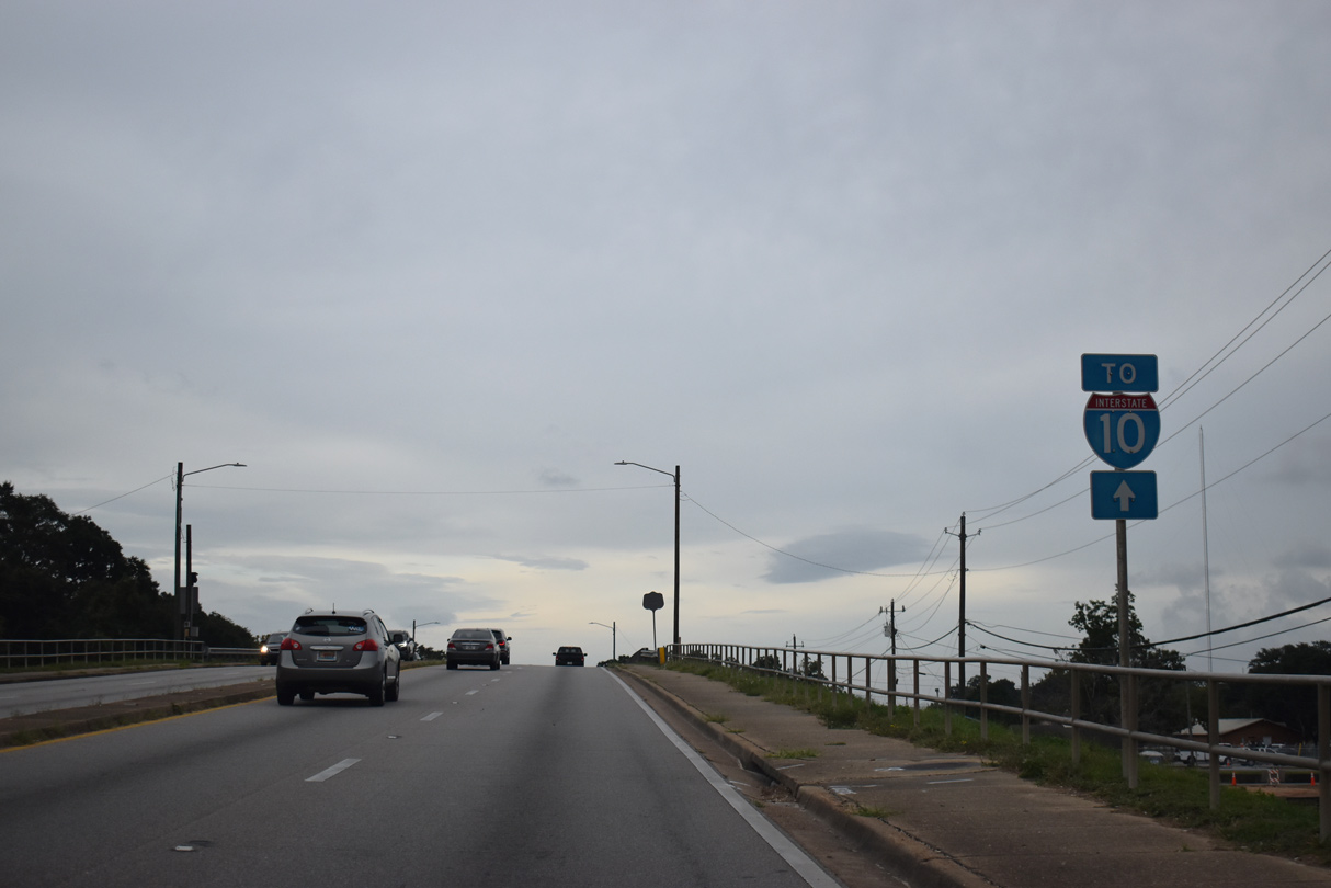
SR 85 meets Interstate 10 south of the commercialized intersection with Mirage Avenue.
10/02/21
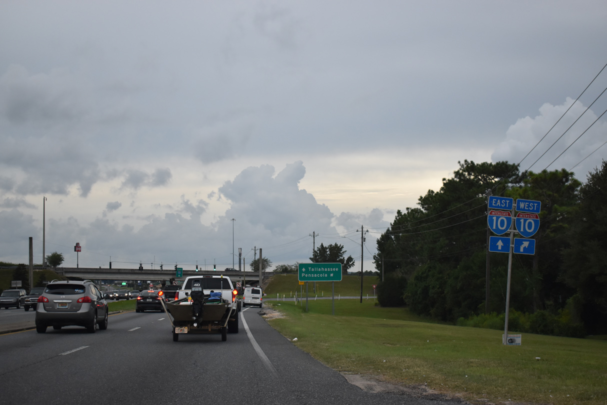
Construction expanding SR 85 (Ferdon Boulevard) to six lanes south from Interstate 10 to P.J. Adams Parkway includes reconfiguring the diamond interchange at Exit 57 into a DDI.
10/02/21
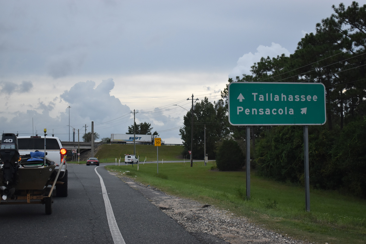
I-10 travels 44 miles west from SR 85 to Interstate 110 south for Pensacola. Capital Circle NW (SR 263) meets I-10 at Tallahassee 139 miles to the east.
10/02/21
FDOT recorded 52,000 vehicles per day along SR 85 (Ferdon Boulevard) south of Interstate 10 in 2021.
10/13/16
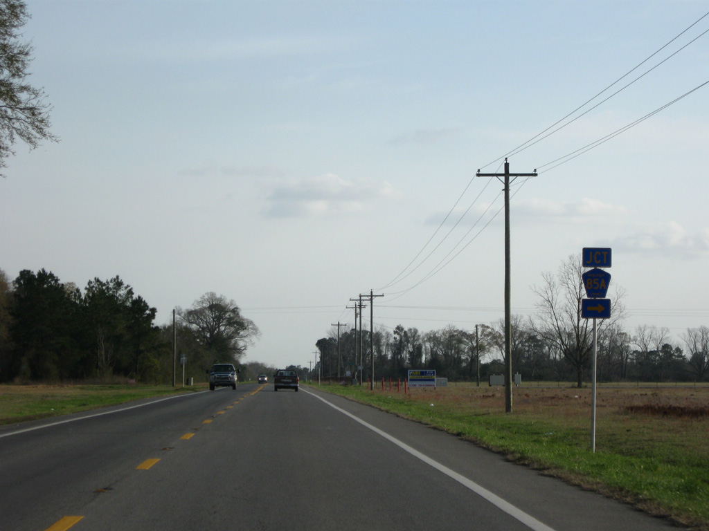
SR 293 trailblazer posted along SR 85 south at the intersection with Cracker Barrel Drive west and Southcrest Drive east.
10/13/16
Despite being posted 2.8 miles south of the previous distance sign listing Fort Walton Beach at 31 miles, the assembly ahead of John King Road still shows 31 miles.
10/13/16
John King Road heads east to an array of subdivisions beyond the commercial strip along SR 85 (Ferdon Boulevard).
10/13/16
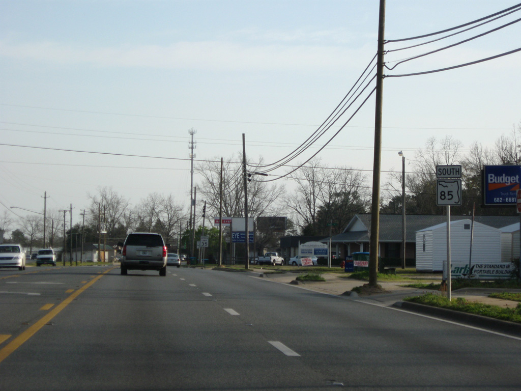
P.J. Adams Parkway forms a suburban bypass around the west side of Crestview along with Antioch Road (CR 4) north to U.S. 90.
10/13/16
Antioch Road meanders southeast from P.J. Adams Parkway along the former route of CR 4 to SR 85 across from Live Oak Church Road.
10/13/16
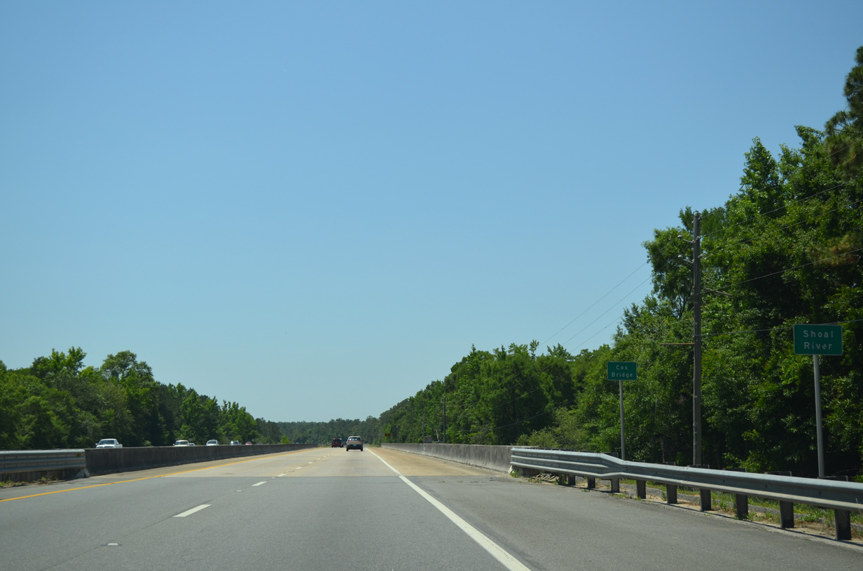
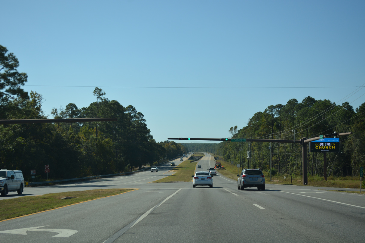
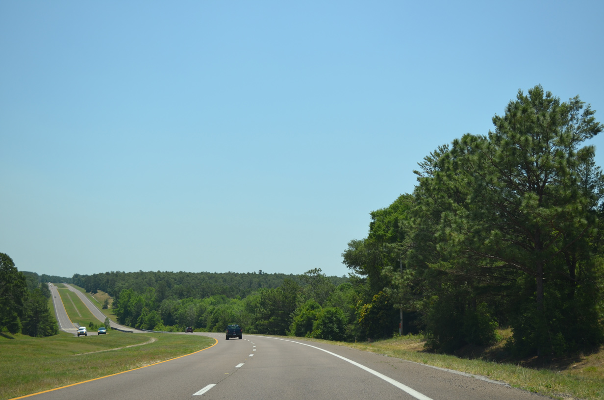
SR 85 (Ferdon Boulevard) transitions into a four lane expressway south from Crestview and the Cox River spanning the Shoal River.
05/22/14
SR 85 travels south through Eglin Air Force Base 12.4 miles to Niceville. The speed limit increases to 65 miles per hour on this stretch.
05/22/14
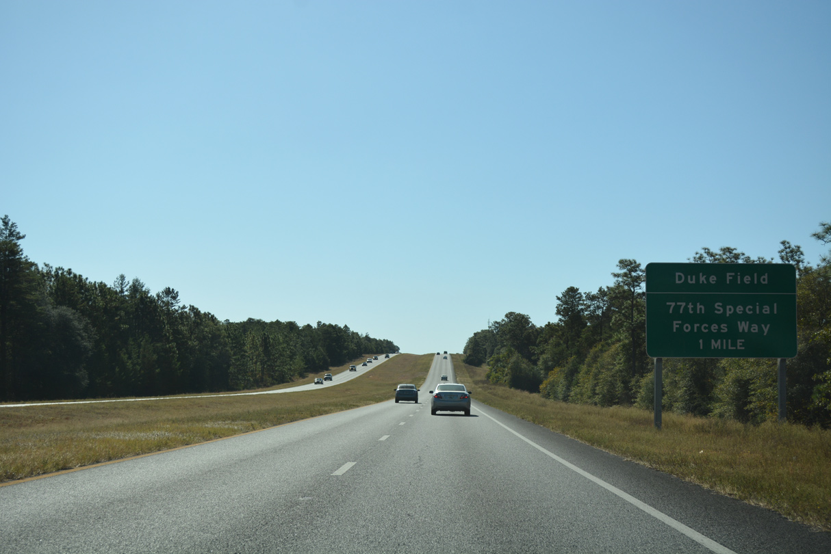
77th Special Forces Way west and McWhorter Avenue west come together at SR 85 within Eglin AFB in one mile.
10/13/16
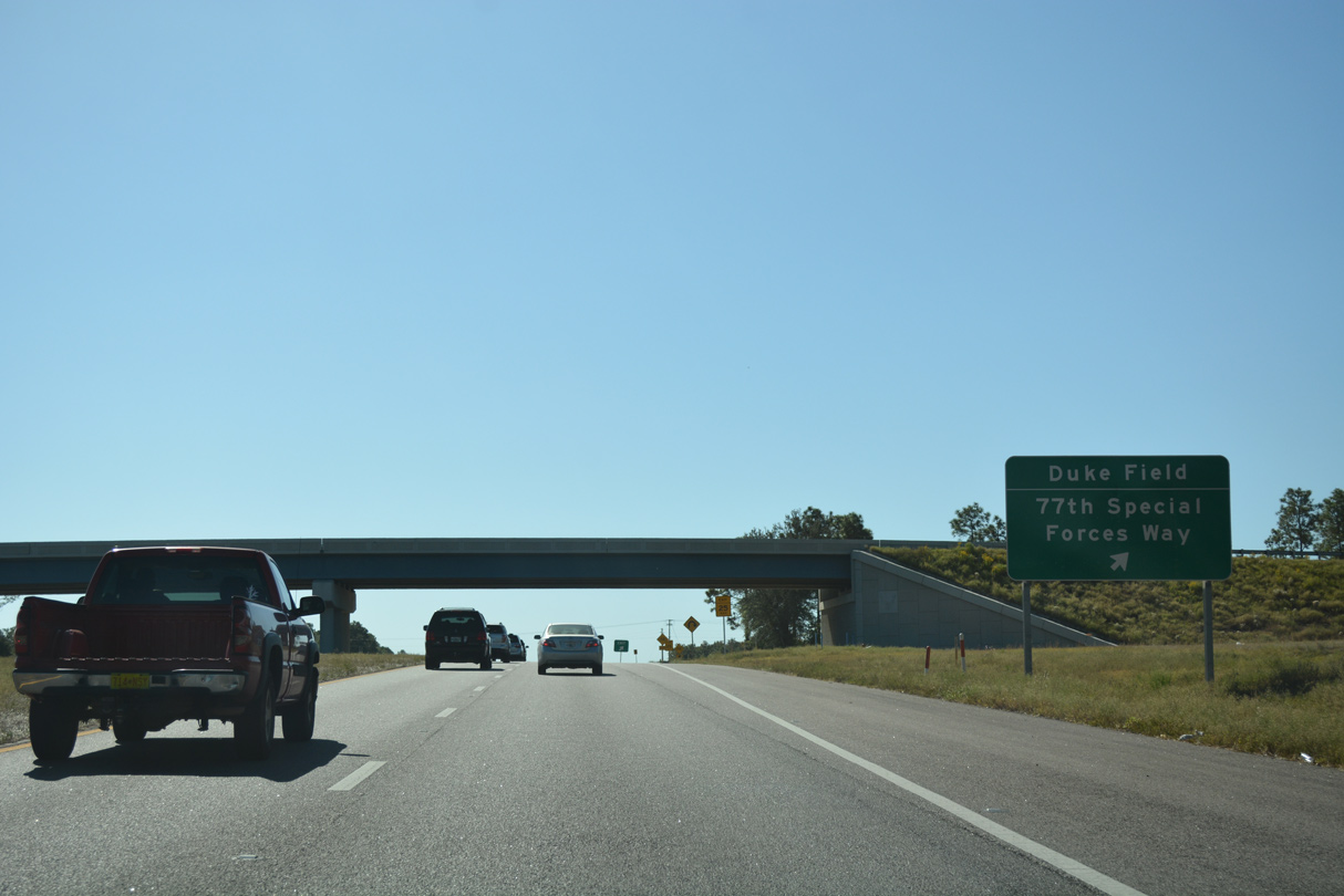
Constructed in 2012/13, the folded diamond interchange at 77th Special Forces Way / McWhorter Avenue (SR 210) replaced a signalized intersection.
10/13/16
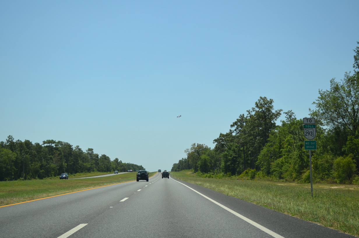
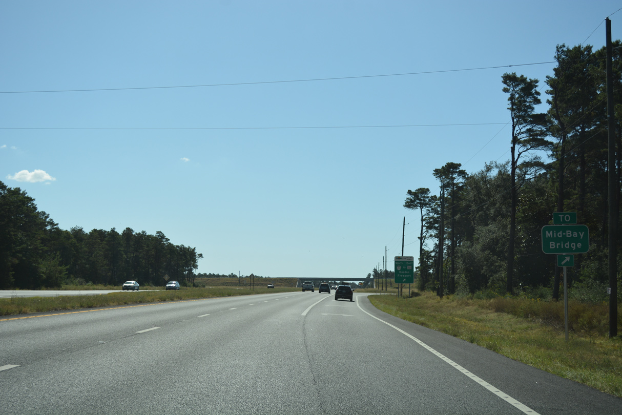
A trailblazer for SR 293 and the tolled Mid-Bay Bridge stands along SR 85 south of McWhorter Avenue.
05/22/14
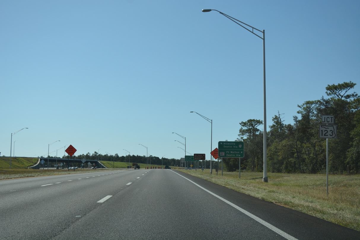
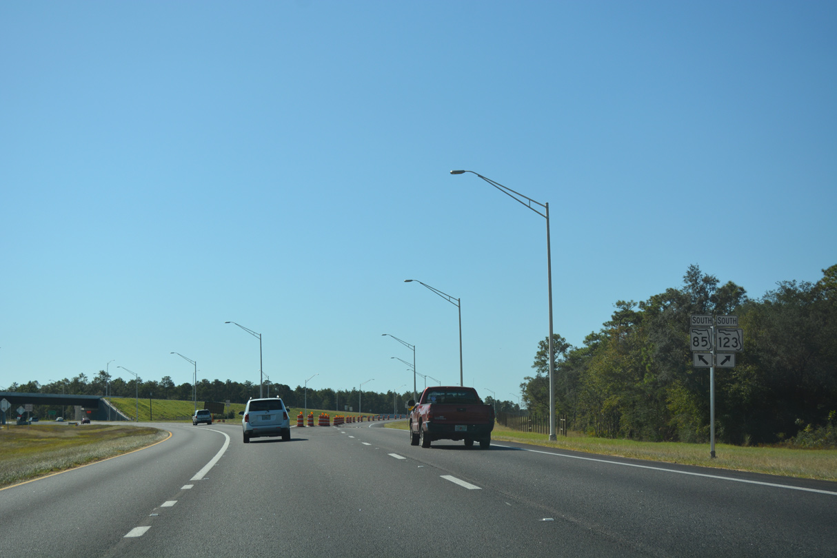
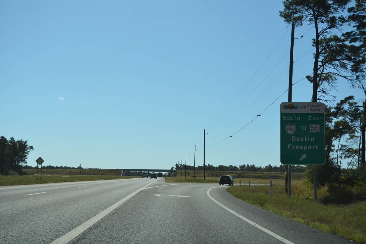
SR 123 (Roger J. Clary Highway) branches southwest from SR 85 at a wye interchange completed in August 2016.
10/13/16
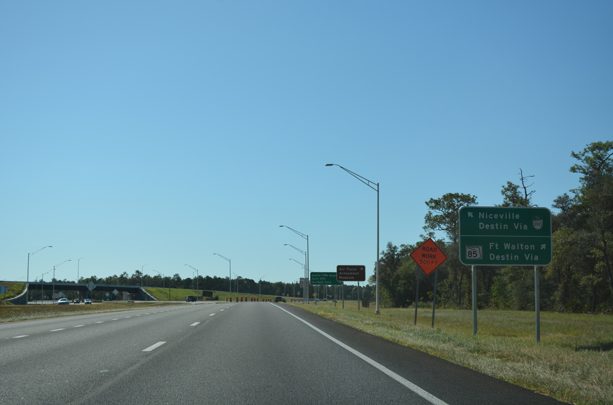
SR 123 comprises a bypass west of Niceville and Valparaiso to SR 85 by Destin-Fort Walton Beach Airport (VPS).
10/13/16
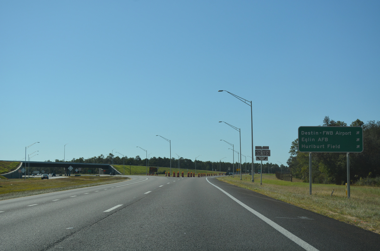
SR 123 bee lines 6.00 miles southwest to SR 85 north of the Air Armament Center at Eglin AFB.
10/13/16

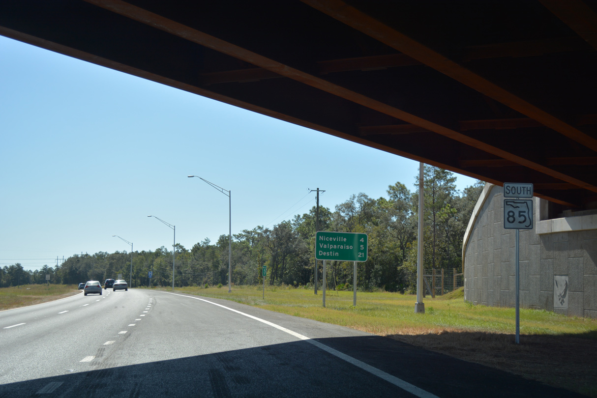
SR 85 heads southeast from SR 123 to SR 20 (John Sims Parkway) in Niceville.
10/13/16
Lowering to cross Juniper Creek along SR 85 south with Eglin AFB.
05/22/14
Opened to traffic on January 4, 2014, the tolled Mid-Bay Bridge Connector loops around Niceville to the north and east from SR 85 to the Mid-Bay Bridge south of Seminole.
10/13/16
The Mid-Bay Bridge spans Choctawhatchee Bay and the Gulf Intracoastal Waterway south to Destin at Moreno Point.
10/13/16
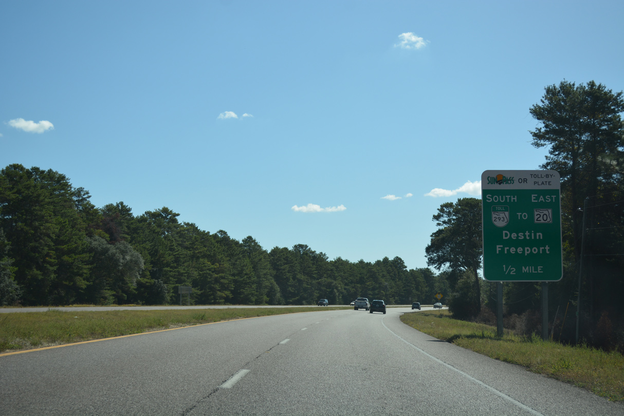
The Mid-Bay Bridge Connector is a two lane toll road southeast to Range Road, where SR 293 expands to four lanes ahead of the Mid-Bay Bridge toll plaza.
10/13/16
South from SR 293 and adjacent Twin Oaks Park, SR 85 transitions into a five lane boulevard.
05/22/14

SR 85 continues south into the city of Niceville at Twin Oaks Park and College Boulevard. College Boulevard is former CR 190 east to SR 285.
05/22/14
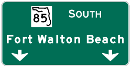

Photo Credits:
- Alex Nitzman: 07/13/07, 11/03/12, 03/26/13, 10/13/16
- Brent Ivy: 03/09/09
- ABRoads: 04/30/11, 05/22/14, 10/02/21
Connect with:
Page Updated Tuesday April 25, 2023.