
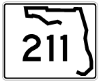
State Road 211
State Road 211 is a segmented route paralleling the St. Johns River through central Jacksonville. Beginning from SR 128 (San Juan Avenue) in the Fairfax neighborhood, SR 211 follows Herschel Street north to Big Fishweir Creek, where it shifts east onto St. Johns Avenue. St. Johns Avenue navigates through a series of S-curves through the Avondale community, straightening out at Boone Park northeast to Riverside.
Prior to 2006, SR 211 ended at the intersection of Riverside Avenue and Post Street in Riverside, Jacksonville. There U.S. 17/SR 228 took over along Riverside Avenue north into the Brooklyn community west of Downtown. With their alignment along Post and College Streets dropped from the state road system, SR 211 was extended northward along Riverside Avenue two blocks to I-95 (Fuller Warren Bridge) and Peninsular Place. The southern 3.723 mile segment of SR 211 concludes there.
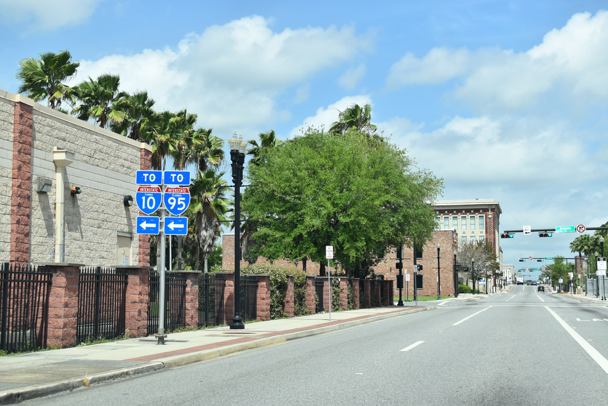
Riverside Avenue (former U.S. 17) northeast 0.641 miles from Interstate 95 to the directional T interchange with SR 13 (Acosta Bridge) is locally maintained. The 0.271 mile section of Riverside Avenue at the exchange with the Acosta Bridge is state maintained and designed as SR 211. Beyond Broad Street, U.S. 17 split with SR 228, with the former taking the couplet of Bay and Forsyth Streets between Broad Street and U.S. 1-90 (Main / Ocean Streets) and the latter lining Water Street east. State maintenance along former U.S. 17 and 228 ceases east of Broad Street and the second SR 211 segment.
 North
North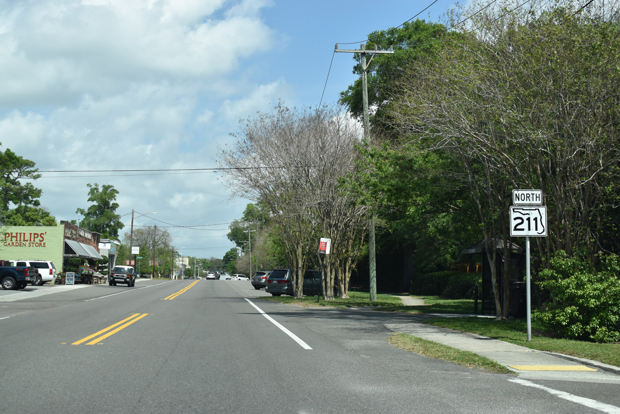
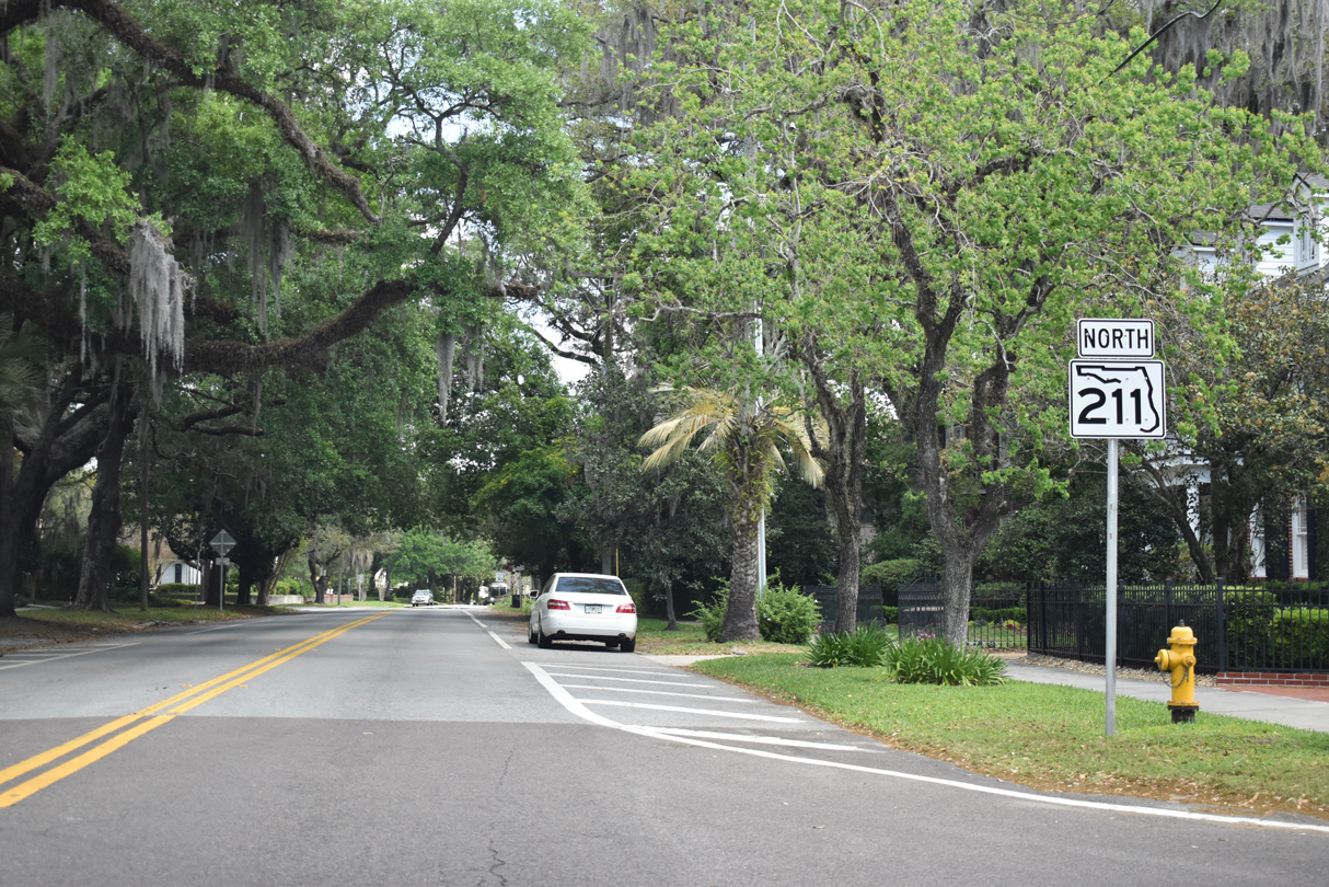
State Road 211 initially follows Herschel Street north through the Fairfax neighborhood.
03/26/20
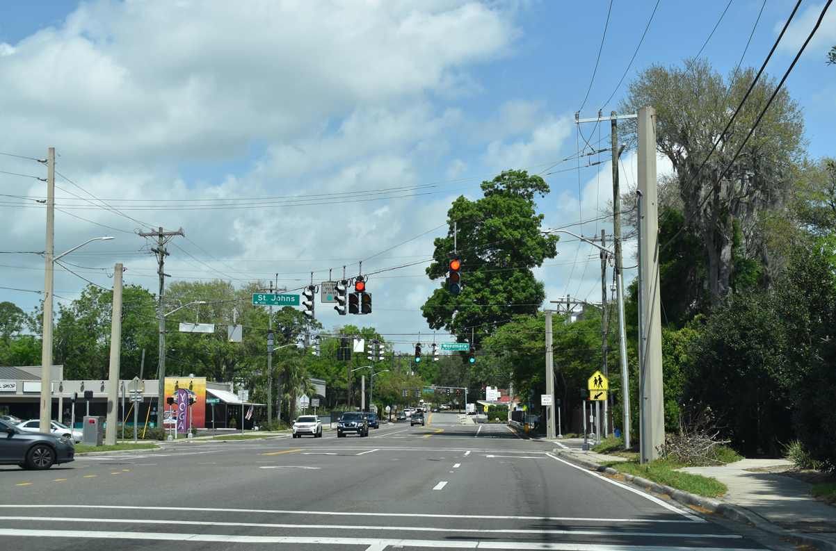
Herschel Street (SR 211) meets St. Johns Avenue and Woodmere Drive ahead of Big Fishwier Creek. St. Johns Avenue travels three blocks west to U.S. 17 (Roosevelt Boulevard).
03/26/20
SR 211 departs Herschel Street ahead along the eastern component of St. Johns Avenue. Herschel Street turns northeast to parallel SR 211 (St. Johns Avenue) through the Avondale neighborhood.
03/26/20
St. Johns Avenue (SR 211) winds on its initial stretch northeast toward Five Points.
03/26/20
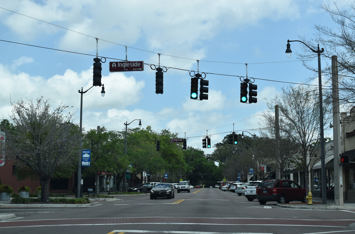
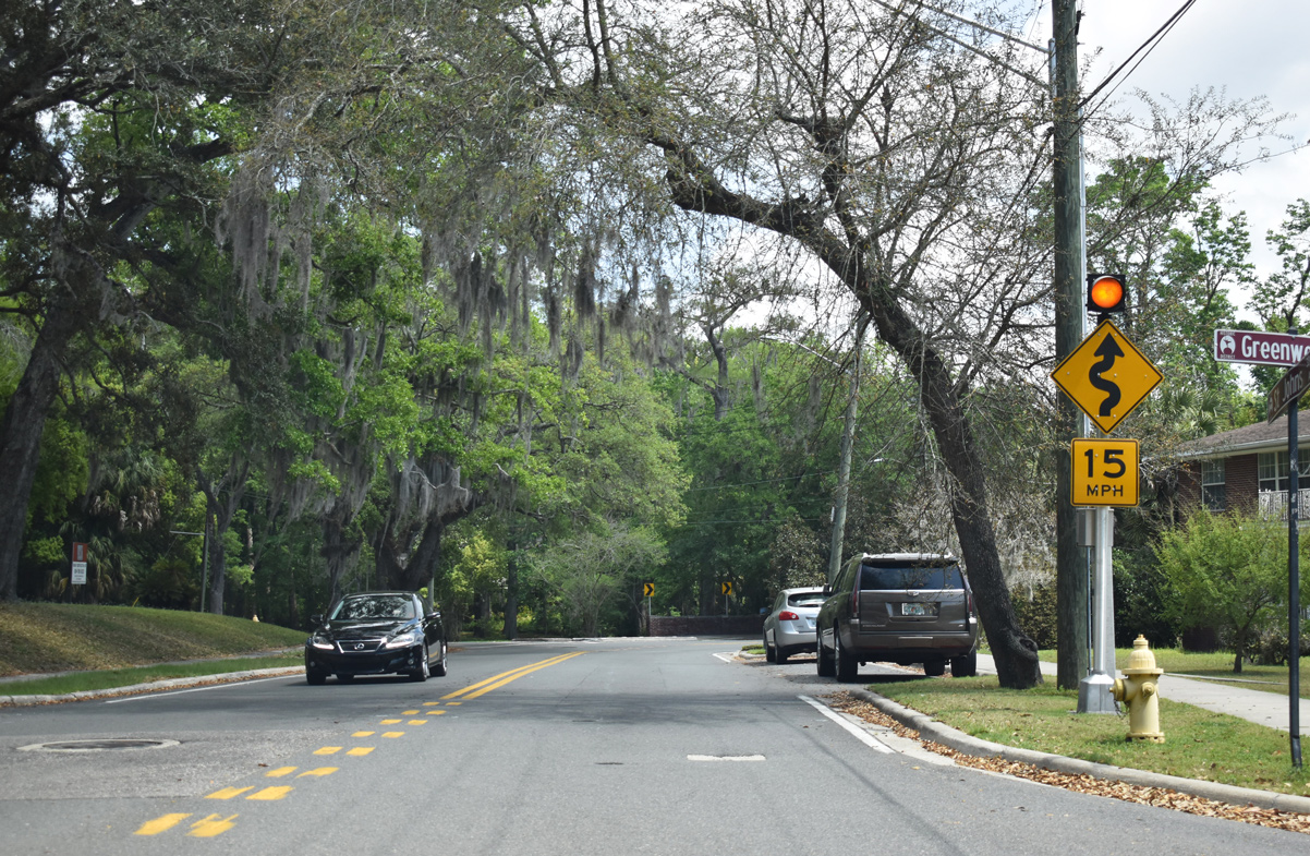
SR 211 north passes through the commercial district of Avondale at Ingleside Avenue.
03/26/20
Confirming marker posted at Talbot Avenue along SR 211 (St. Johns Avenue) north.
03/26/20
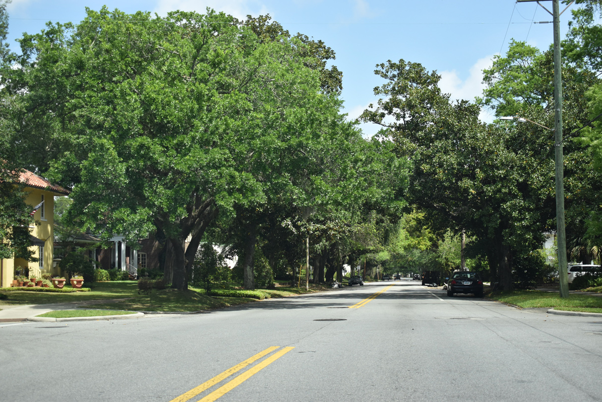
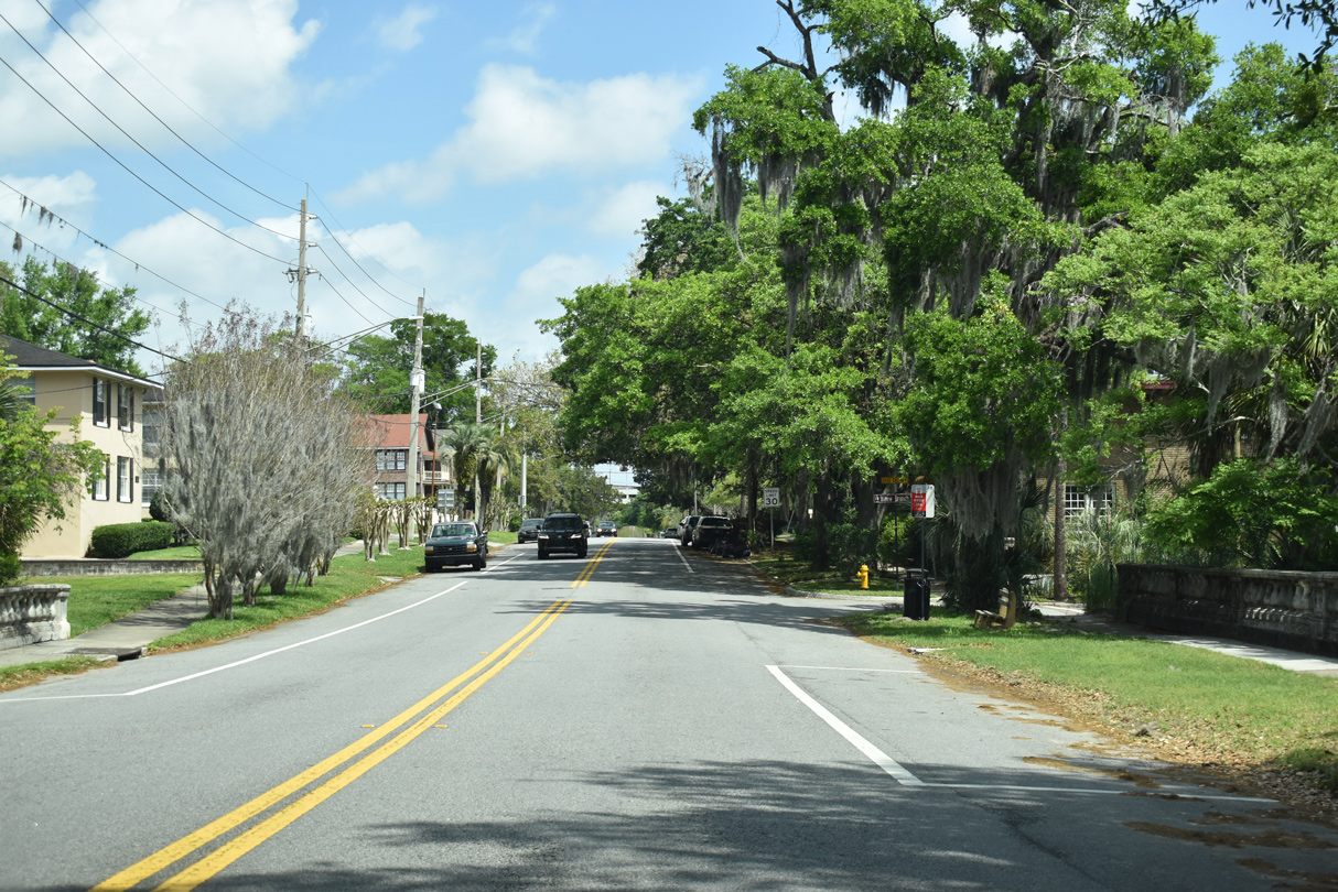
Vintage residences are located along the tree-lined St. Johns Avenue (SR 211) as it continues northeast toward the Riverside and Five Points neighborhoods.
03/26/20
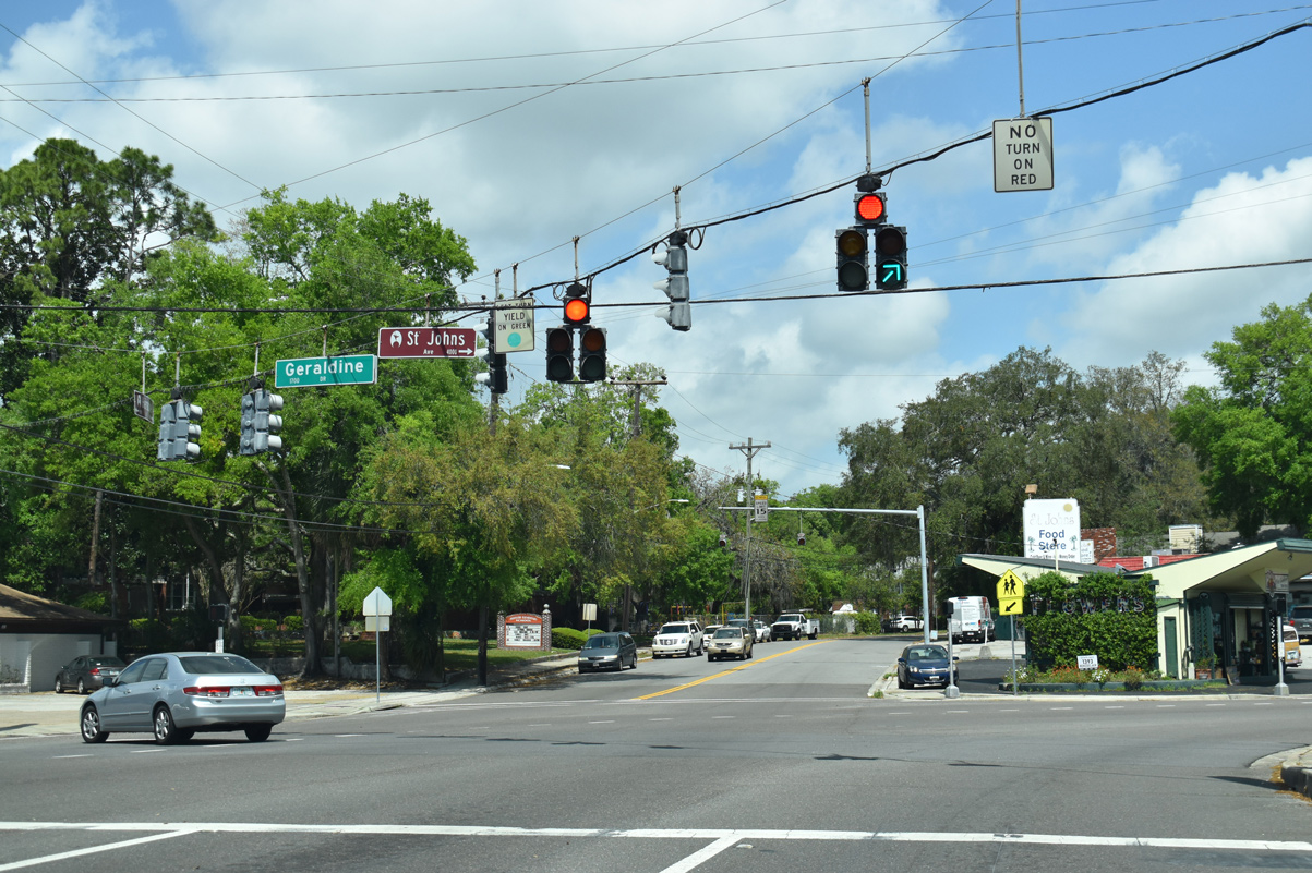
Mallory Street travels four blocks northwest from SR 211 (St. Johns Avenue) to Willowbranch Park.
03/26/20
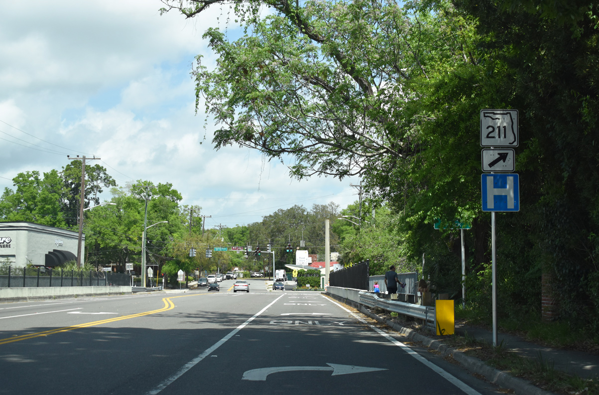
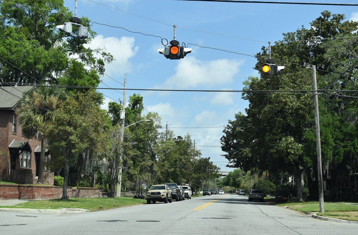
SR 211 will turn ahead along King Street in front of the St. Vincent's Riverside Hospital complex.
03/26/20
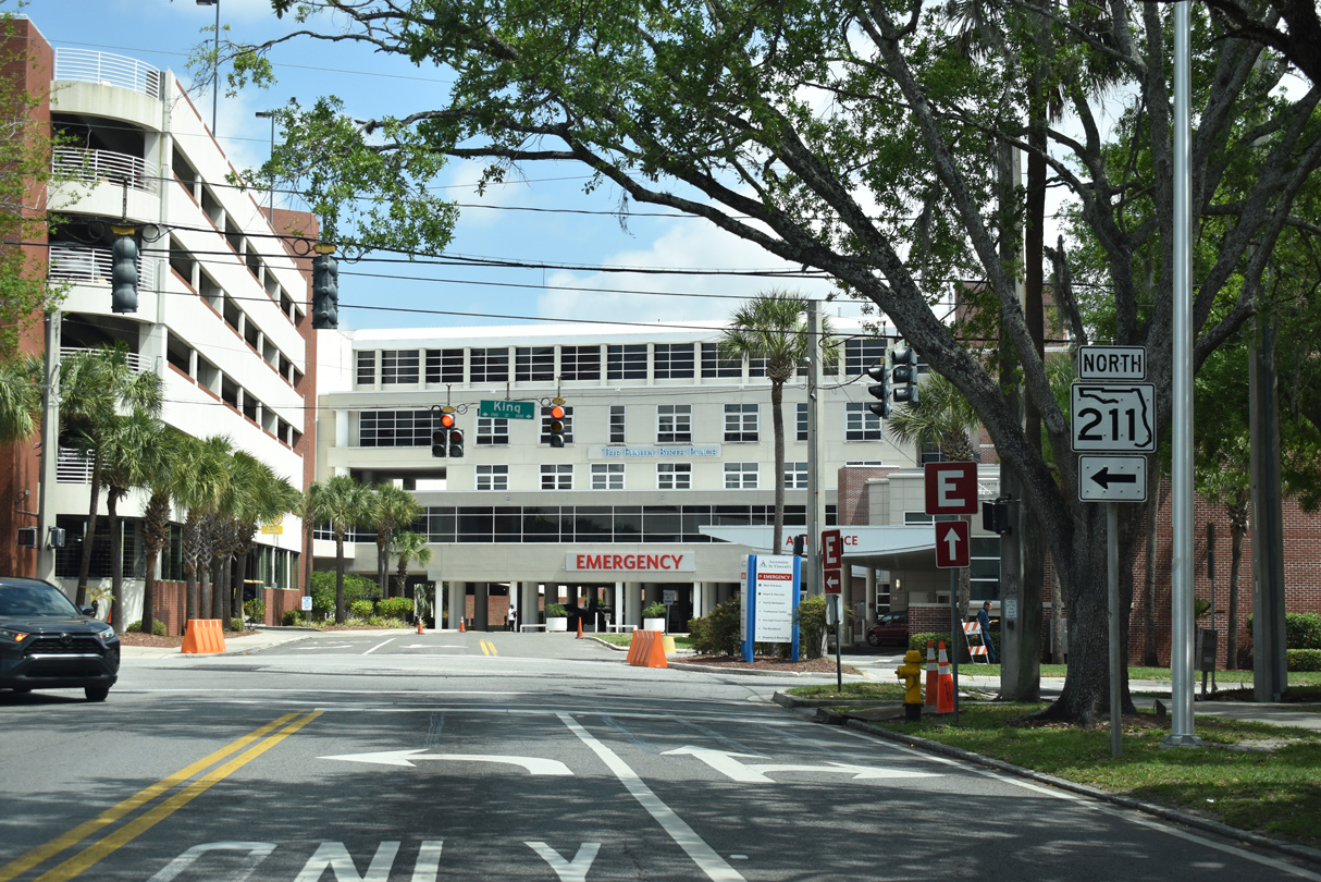
St. Johns Avenue dead ends into St. Vincent's hospital as State Road 211 overlays King Street one block north.
03/26/20
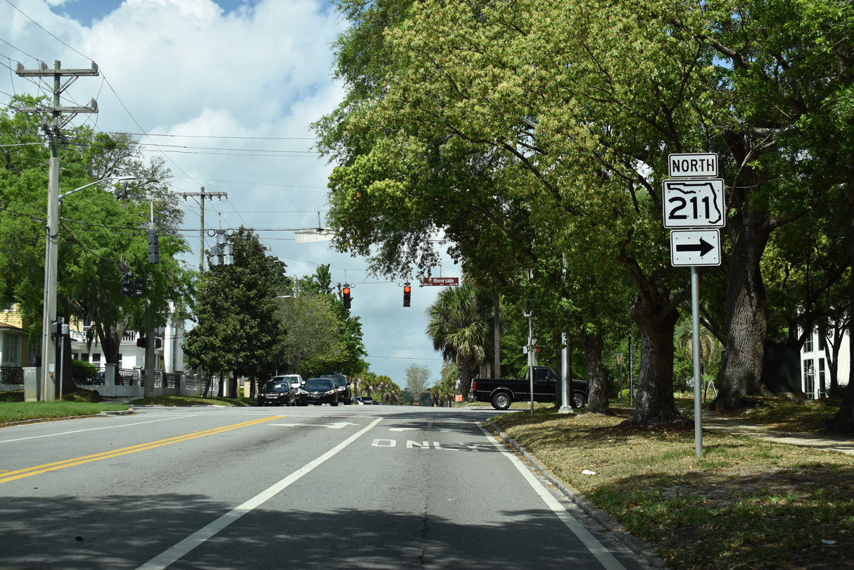
SR 211 dog legs east onto Riverside Avenue as King Street travels into the commercial district of the Riverside neighborhood.
03/26/20
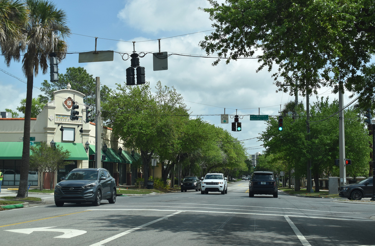
Barrs Street extends northwest from Riverside Avenue (SR 211) across from the main entrance to St. Vincent's Riverside Hospital.
03/26/20
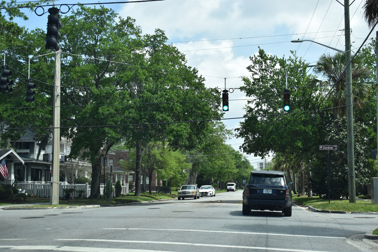
SR 211 north meets Stockton Street at this signalized intersection. Stockton Street divides the Riverside and Five Point neighborhoods.
03/26/20
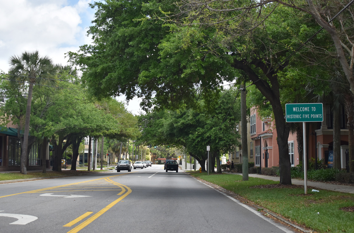
Margaret Street travels northwest into the central commercial district of the historic Five Points neighborhood.
03/26/20
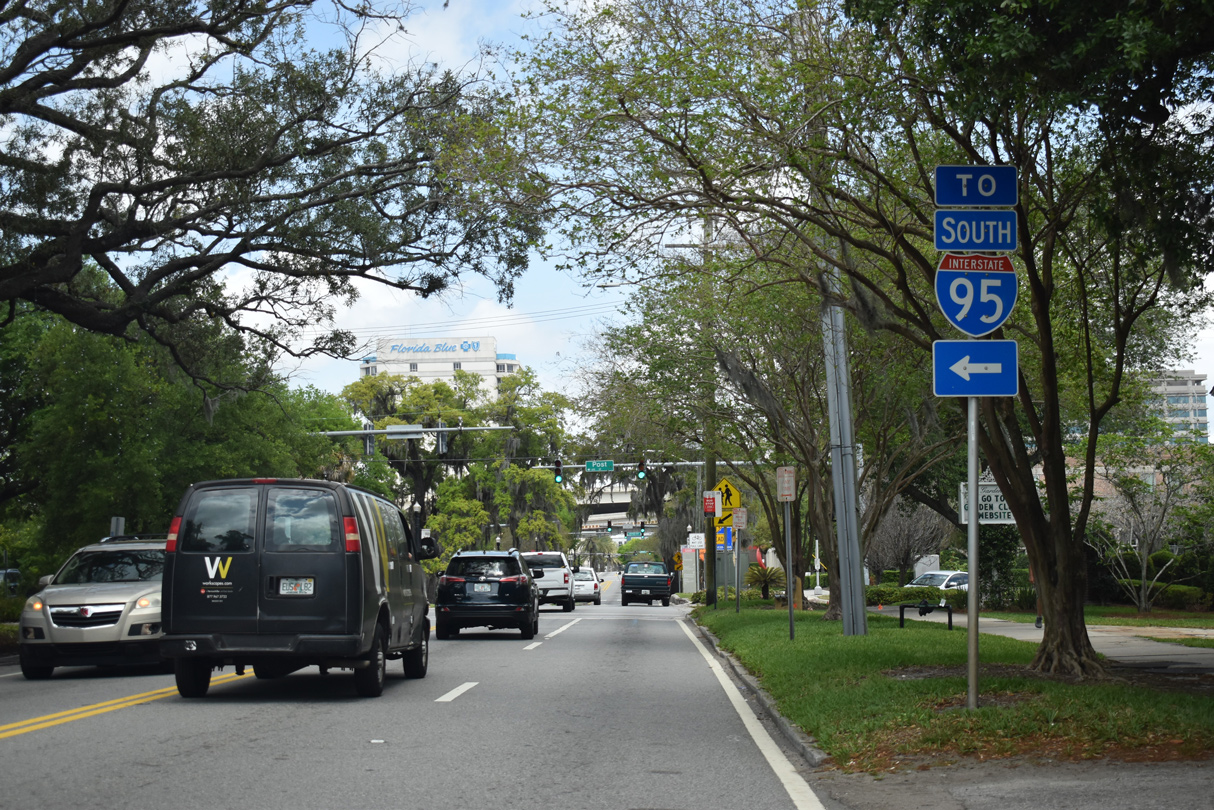
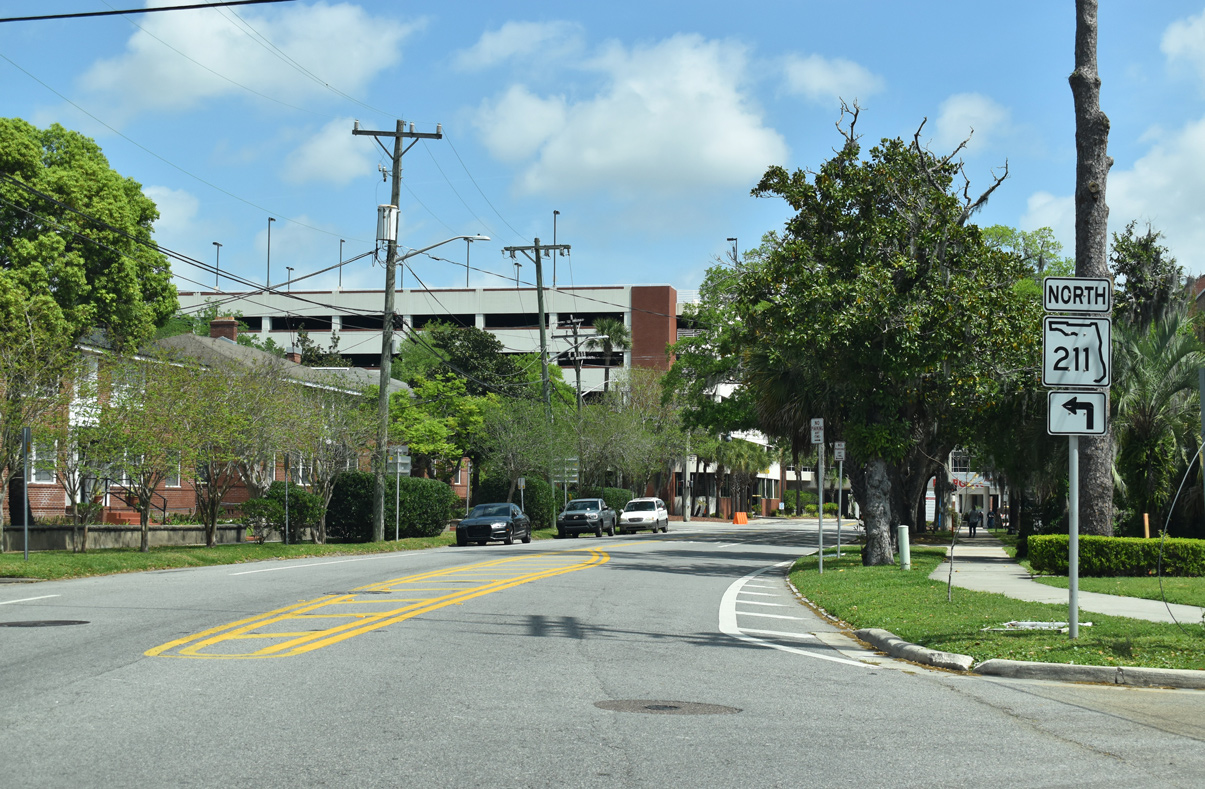
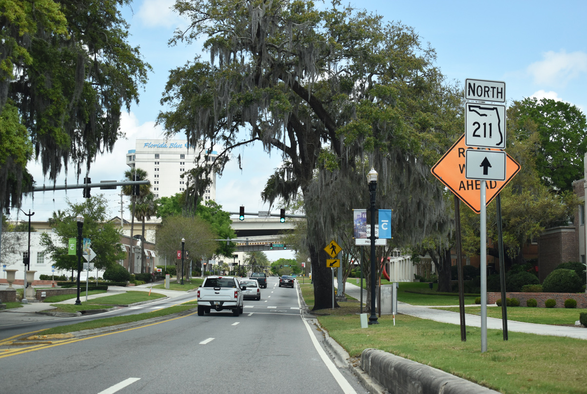
Post Street leads motorists to Interstate 95 south at the ensuing intersection along SR 211 north.
03/26/20
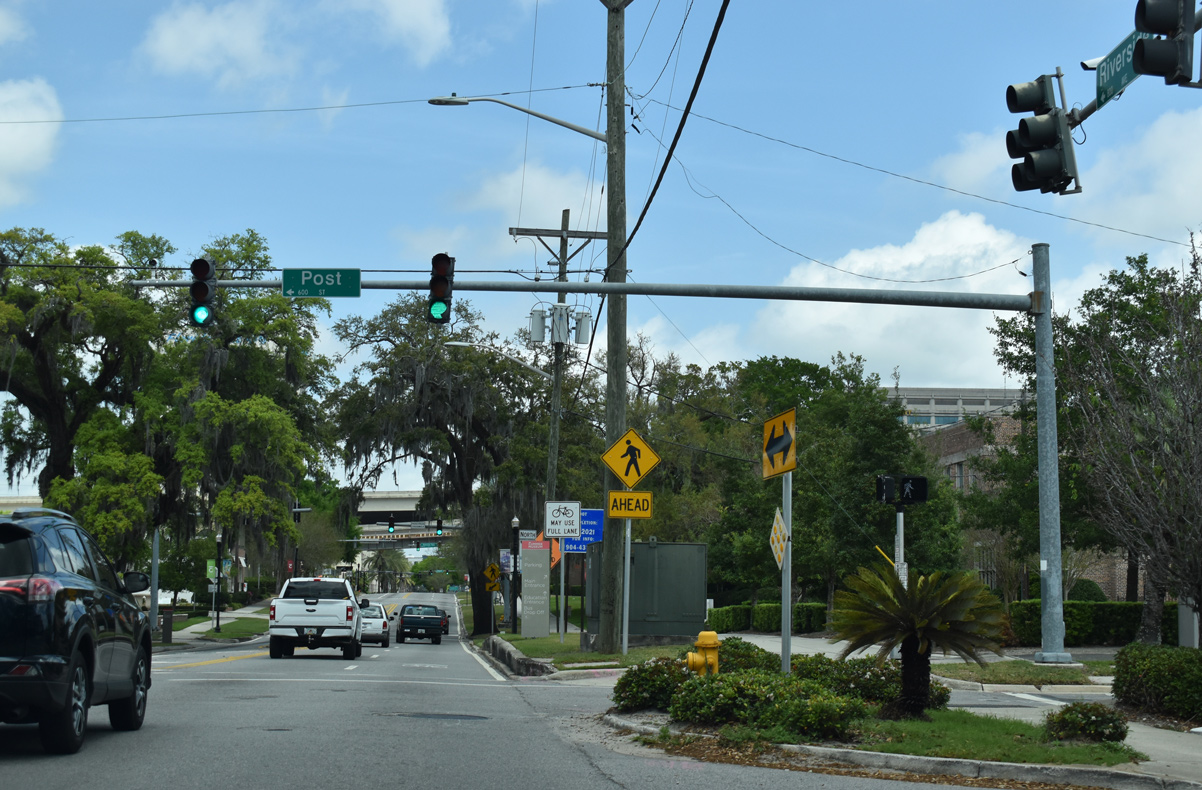
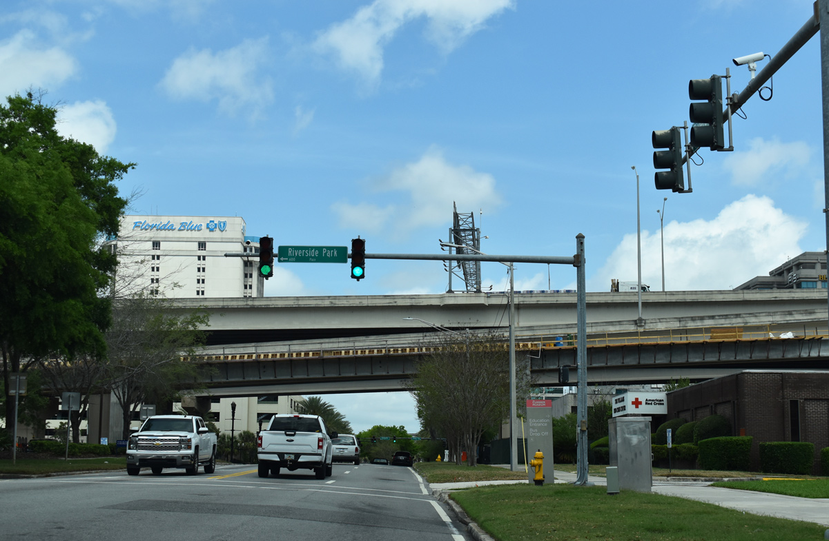
Post Street travels to Riverside Park north of the center of Five Points neighborhood. Historically, U.S. 17 and SR 228 used a portion of Post Street prior to their relocation.
03/26/20
SR 211 trailblazer posted along Riverside Avenue after the former turn of U.S. 17 north / SR 228 east from Post Street.
03/26/20
Riverside Park Place leads three blocks west from SR 211 (Riverside Avenue) to Park Street at Riverside Park.
03/26/20
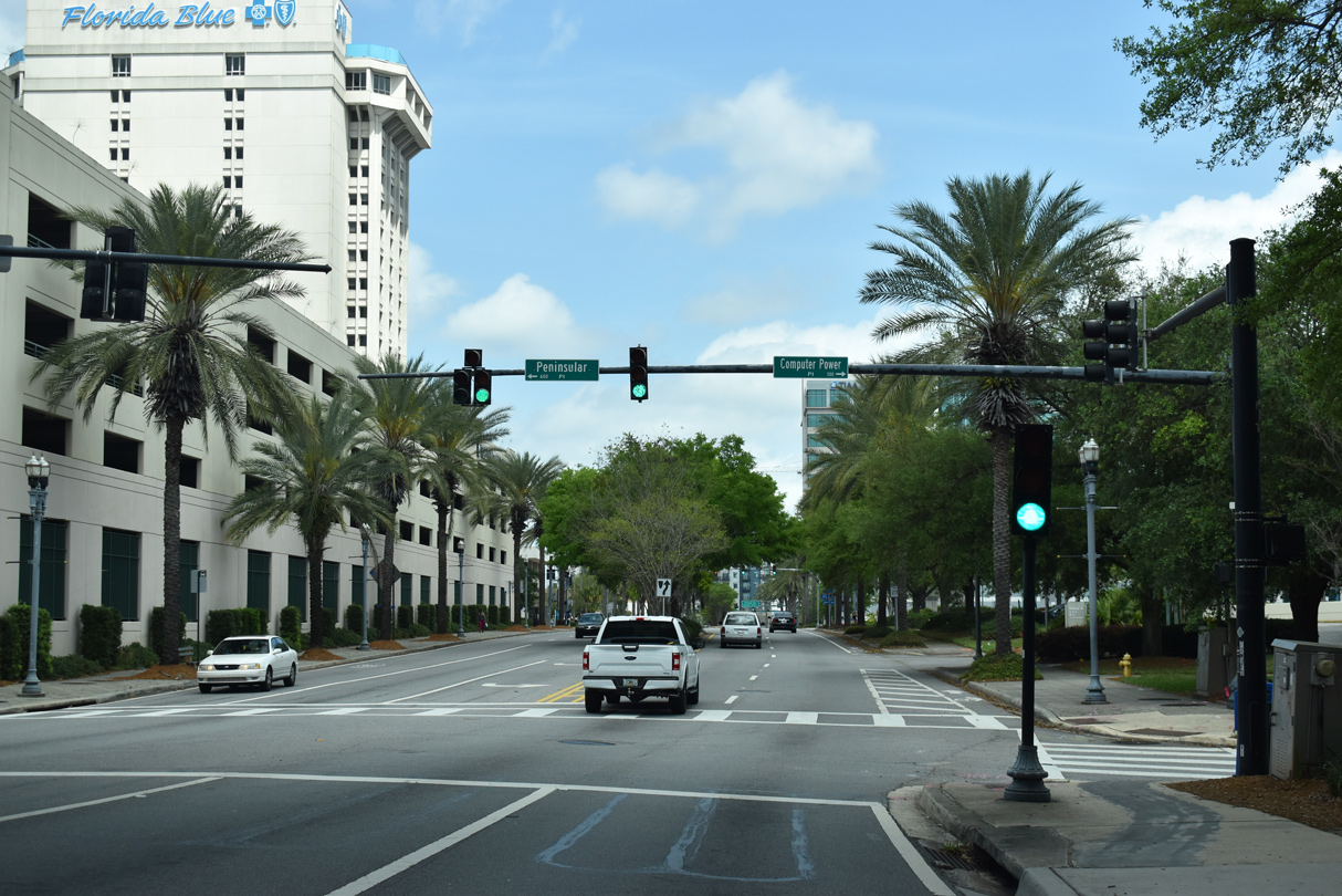
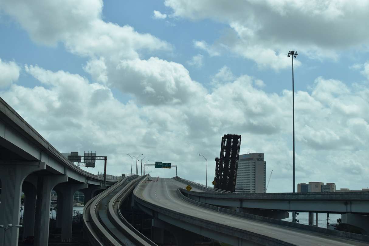
Riverside Avenue passes below the Fuller Warren Bridge and the I-95 ramps joining the span with Park Street. The southern segment of SR 211 ends here at Peninsular Place.
03/26/20
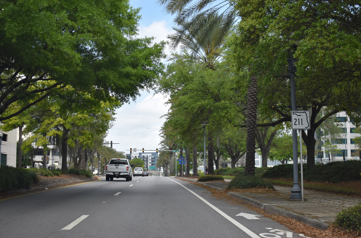
A remaining shield for SR 211 stands along Riverside Avenue north between Peninsular Place and Rosselle Street as of March 2020.
03/26/20

Rosselle Street west three blocks to Park Street leads to respective ramps for Interstate 95 and I-10 via Park and Forest Streets.
03/26/20
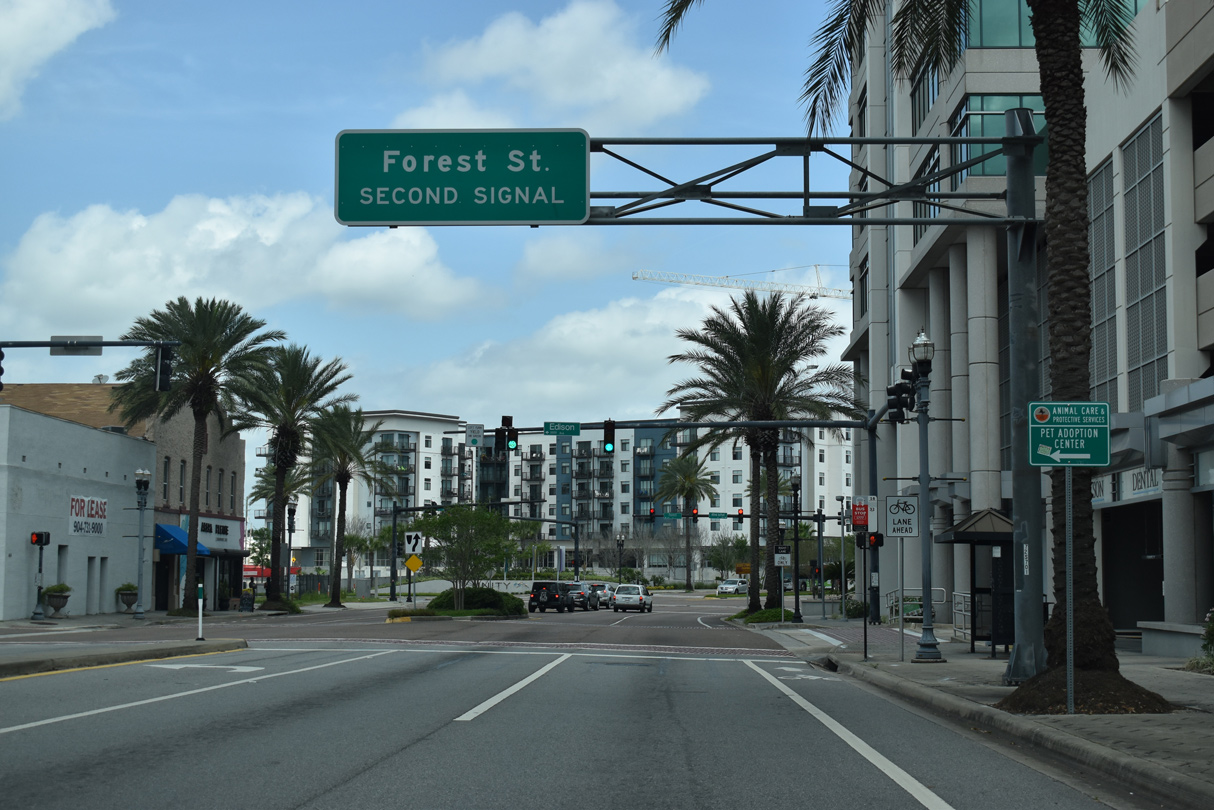
Riverside Avenue intersects Forest Street just beyond Edison Avenue west in the Brooklyn neighborhood.
03/26/20
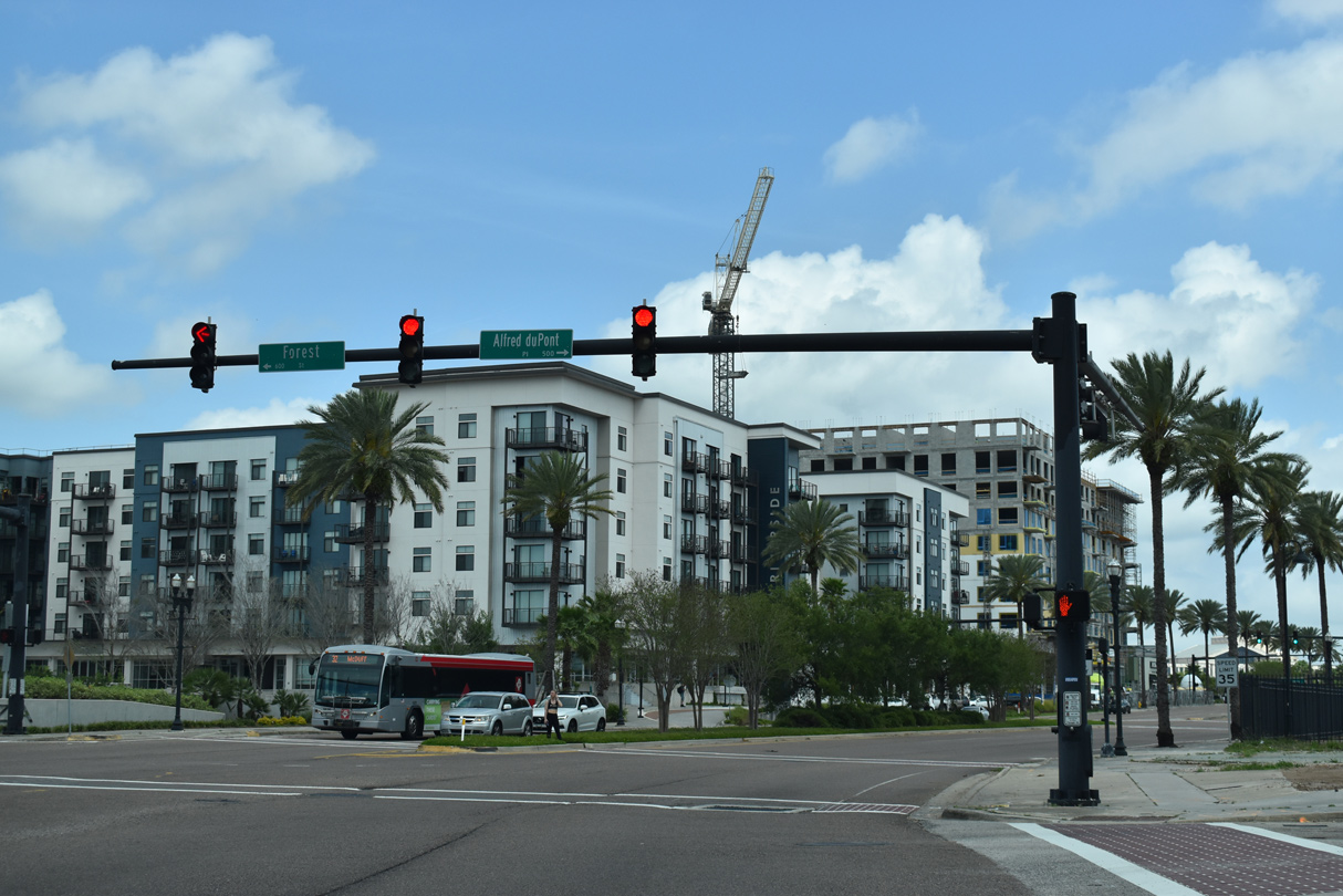
Forest Street comprises a six lane boulevard west to I-95 at the Big I Interchange adjacent to Mixon Town.
03/26/20
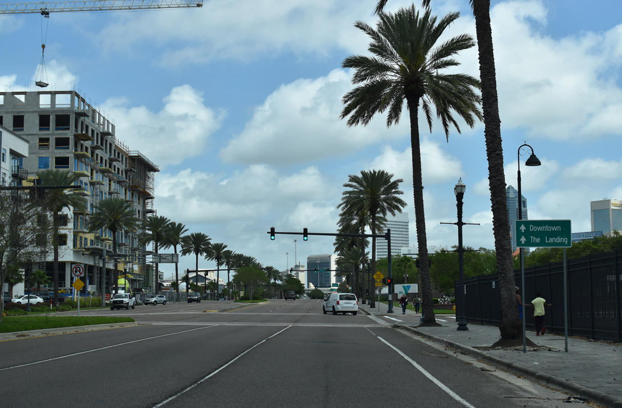
Riverside Avenue proceed northeast from Forest Street to Downtown Jacksonville.
03/26/20
The 220 Riverside and Vista Brooklyn developments rise along the north side of Riverside Avenue between Dora Street and Jackson Street.
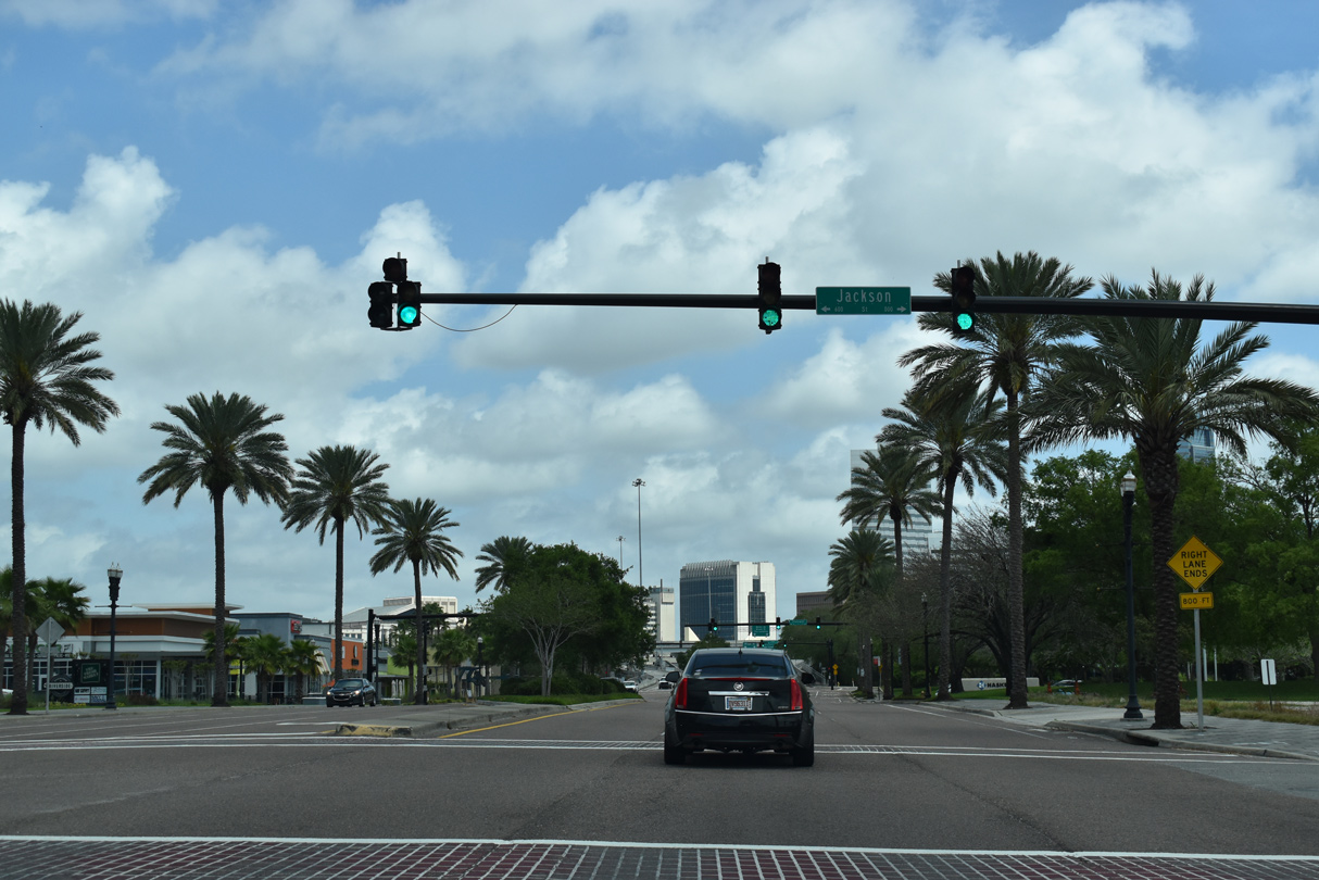
03/26/20
Riverside Avenue approaches the north end of SR 13 beyond Stonewall Street and the Brooklyn Station on Riverside retail plaza.
03/26/20
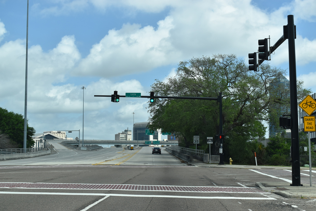
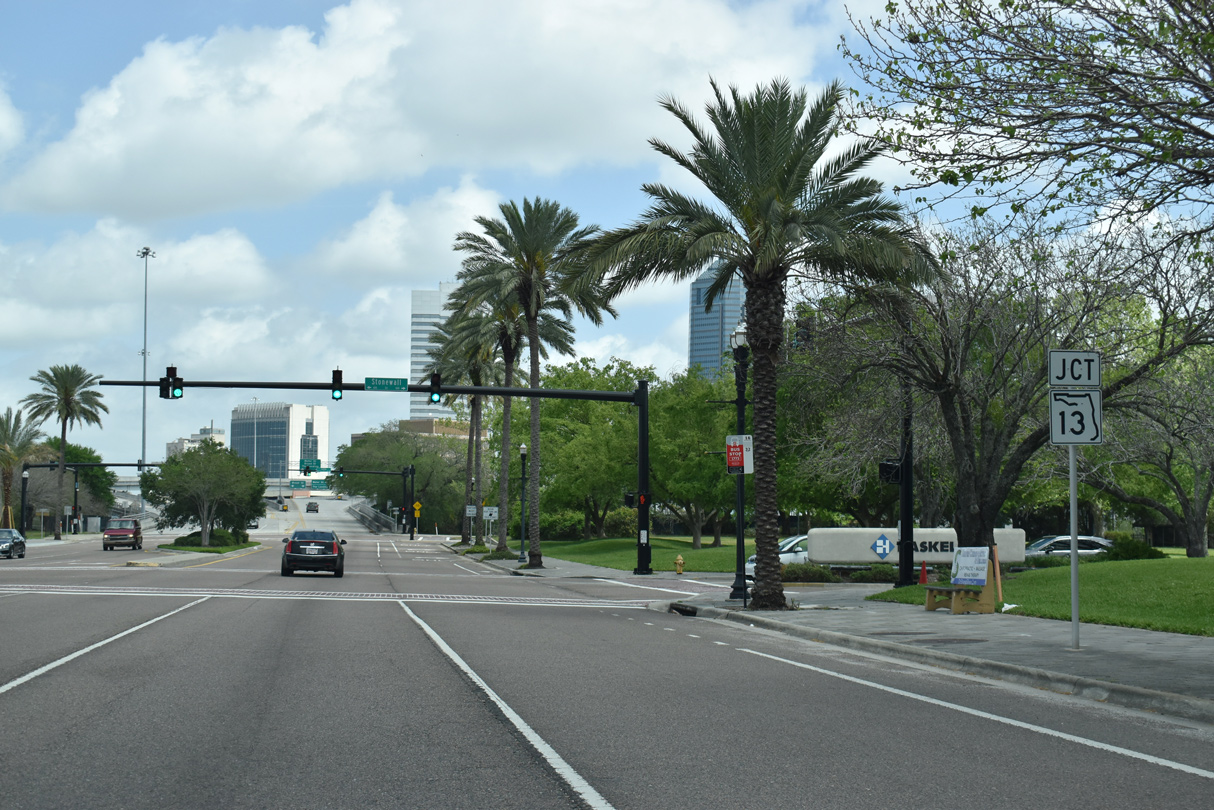
SR 211 resumes along Riverside Avenue through the exchange with SR 13 beyond Leila Street.
03/26/20
North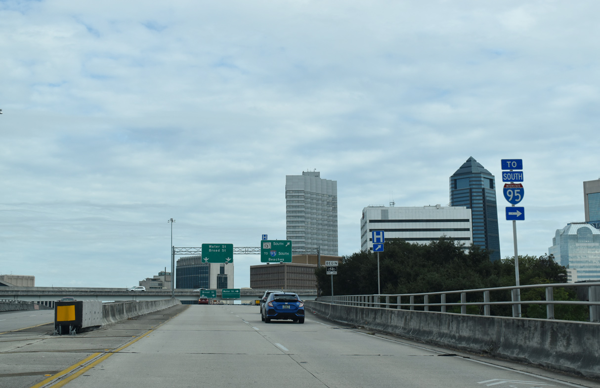
SR 13 spans the St. Johns River across the Acosta Bridge southeast to Interstate 95 at San Marco.
12/04/20
SR 13 runs through Southside and San Marco beyond the Acosta Bridge south to Mandarin in Jacksonville.
12/04/20
The 0.27 mile segment of SR 211 along Riverside Avenue concludes at Broad and Water Streets. The greenout added after March 2020 here covers The Landing.
12/04/20
A directional T interchange joins SR 211 (Riverside Avenue) with SR 13 on the Acosta Bridge.
03/26/20
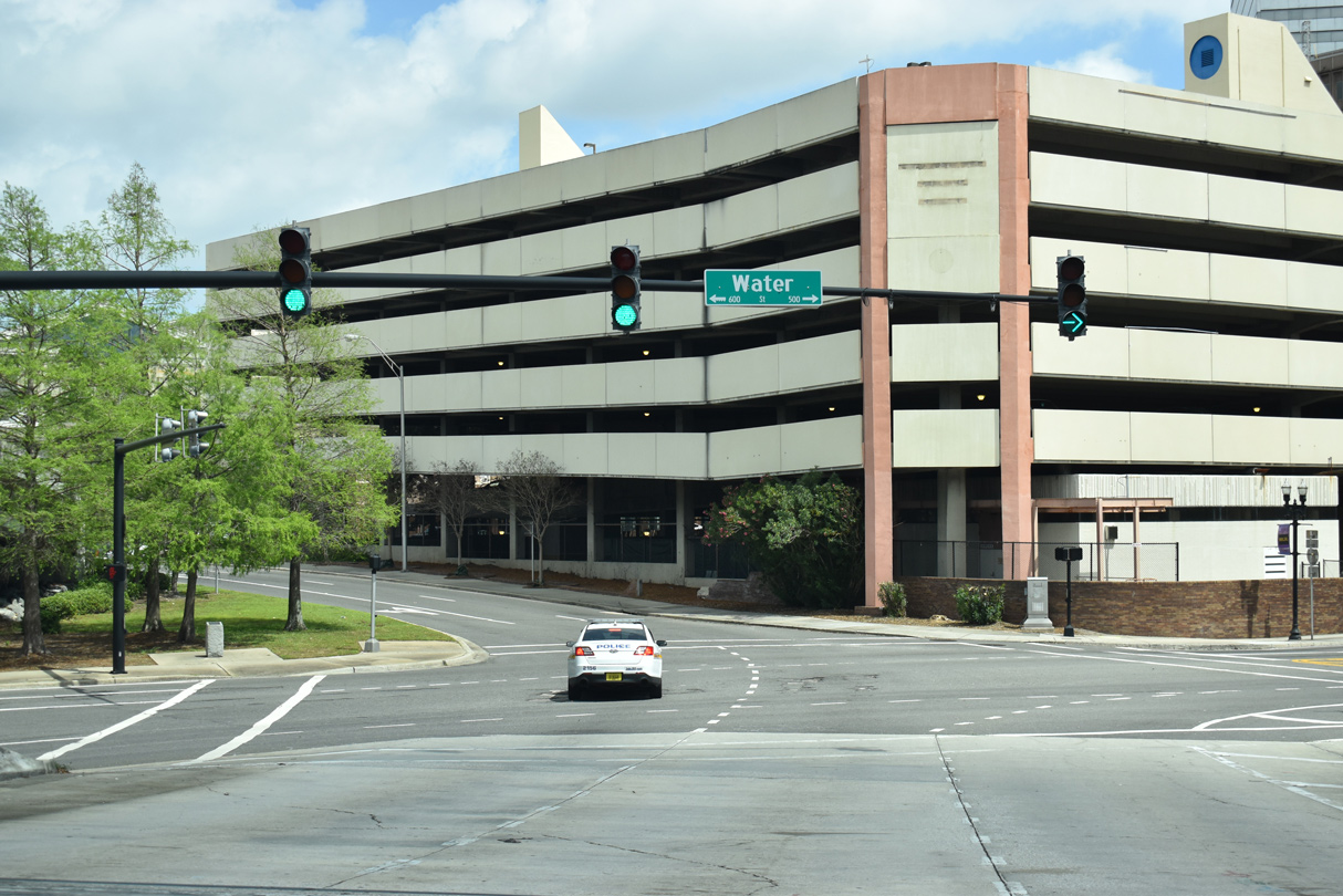
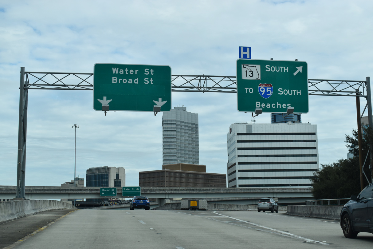
Water Street heads east to the Jacksonville Center for the Performing Arts and the former Jacksonville Landing.
03/26/20
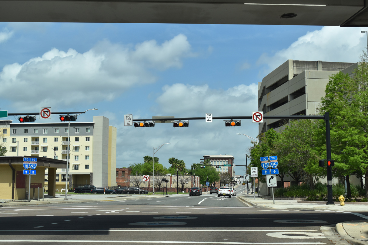
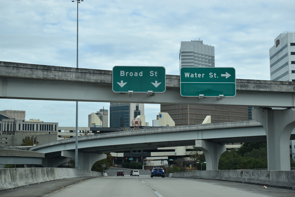
The flyover from the north end of the Acosta Bridge (SR 13) ties into Broad Street at Bay Street westbound.
03/26/20
Adams Street flows west from Broad Street by the Duval County Courthouse to entrance ramps for both directions of Interstate 95.
03/26/20
South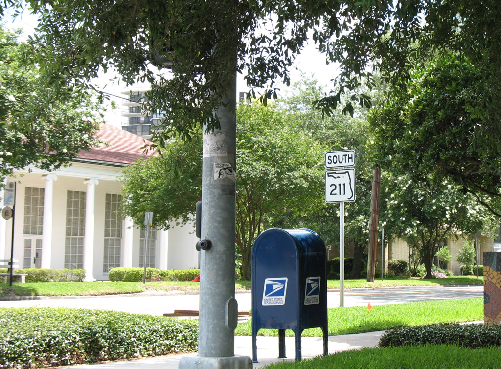
The first reassurance marker for SR 211 south stands beyond the intersection with Post Street. Post Street is where U.S. 17 south / SR 228 west originally split with Riverside Avenue, and the previous north end of SR 211.
06/14/08
Photo Credits:
- ABRoads: 03/26/20, 12/04/20
- Alex Nitzman: 06/14/08
Connect with:
Page Updated Monday December 07, 2020.