
State Road 13 / County Road 13

The Acosta Bridge takes State Road 13 across the St. Johns River between the South Bank District and LaVilla on the west side of Downtown Jacksonville. - 06/16/2016
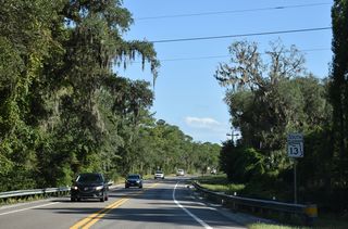
County Road 13 and Florida State Road 13 mirror the course of the St. Johns River north from near Hastings to the Acosta Bridge outside Downtown Jacksonville. The state road initially runs concurrent with SR 16 for 3.998 miles, from CR 13 near Sixmile Creek to the east end of the Shands Bridge across the St. Johns River. SR 13 takes a winding course from there 13.30 miles to the Duval County line, and 15.64 miles through Southside Jacksonville to the north end of the Acosta Bridge.
Florida State Road 13 / County Road 13 Guides
SR 13 / CR 13 North - St. Johns County - 7 photos
North - Jacksonville - 24 photos
South - Jacksonville - 58 photos
SR 13 / CR 13 South - St. Johns County - 30 photos
County Road 13 extends southward 21.96 miles from SR 16 to SR 207 at Spuds. A second branch of CR 13 runs east from SR 207 in Hastings, 13.255 miles to Old Brick Road into Flagler County. The Flagler County portion continues 12.10 miles south along Old Brick Road / Old Dixie Highway to U.S. 1 at Bunnell.
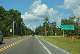
SR 13 branches northwest from SR 16 ahead of the settlement of Orangedale. Generally staying close to the east banks of the St. Johns River, the state road progresses north to Rivertown, a 4,170-acre development slated for up to 4,950 residences.1 There a roundabout was constructed between Fall 2012 and February 2013 with River Town Boulevard, the main entrance to the master planned community. A second roundabout added in the Fall of 2017, joins SR 13 with the entrance to the RiverClub, the St. Johns riverside amenity center for Rivertown.2,3
Northward from New Switzerland Point, SR 13 passes through the communities of Switzerland and Fruit Cove to the four lane span across Julington Creek. Entering Jacksonville, SR 13 follows San Jose Boulevard, a commercial boulevard leading north through the Mandarin neighborhood. San Jose Boulevard becomes Hendricks Avenue as the state road navigates through areas between the St. Johns River and U.S. 1 (Phillips Highway) to the San Marco neighborhood.
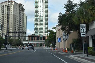
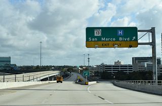
Approaching Downtown Jacksonville, State Road 13 takes a stair stepped alignment between Interstate 95 and the Acosta Bridge. Pruential Drive leads the route west from Hendricks Avenue to San Marco Boulevard, which connects north with an entrance ramp to the Acosta Expressway spanning the St. Johns River. The directional T interchange at the north end of the bridge links with Riverside Avenue (SR 211) south at Broad and Jefferson Streets, the former alignment of U.S. 17 and SR 228.
 Hastings - North
CR 13 follows Main Street north from SR 207 (Church Street) through the Hastings business district.
11/06/19
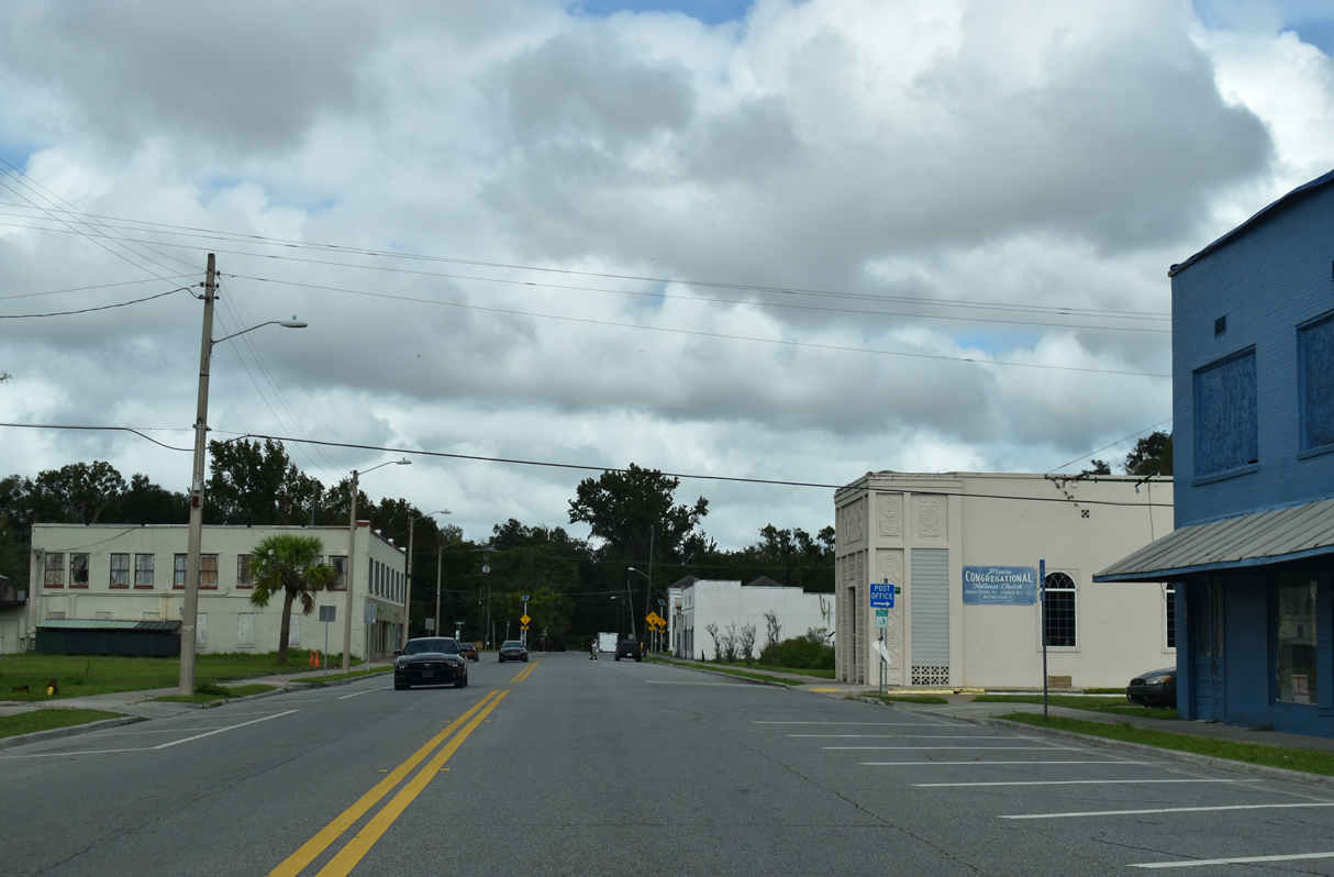
Main Street north at Cochran Avenue in Hastings.
11/06/19
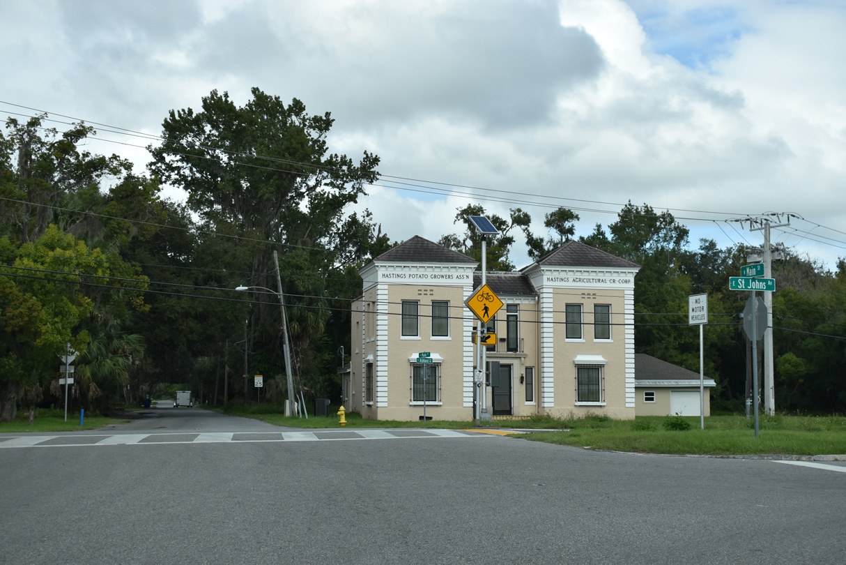
CR 13 makes an unmarked turn onto St. Johns Avenue east from Main Street north in Hastings.
11/06/19
St. Johns Avenue angles northeast alongside Palatka-to-Saint-Augustine State Trail.
11/06/19
CR 13 (St. Johns Avenue) advances east from Hastings back to SR 207.
11/06/19
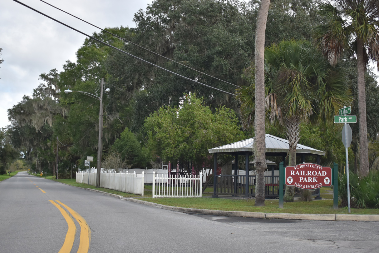
The southern leg of CR 13 ends at SR 207, 1.7 miles south from the northern branch at Spuds.
11/06/19
Hastings - South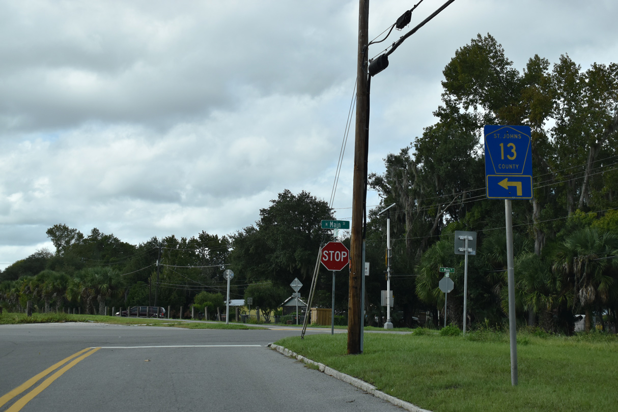
CR 13 enters Hastings along St. Johns Avenue and proceeds south to Main Street.
11/06/19
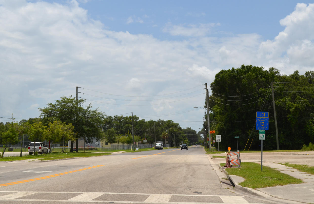
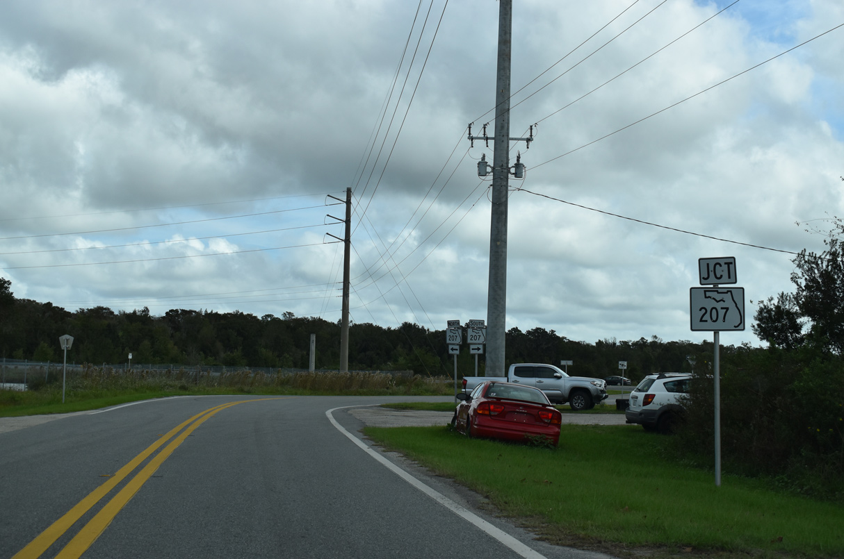
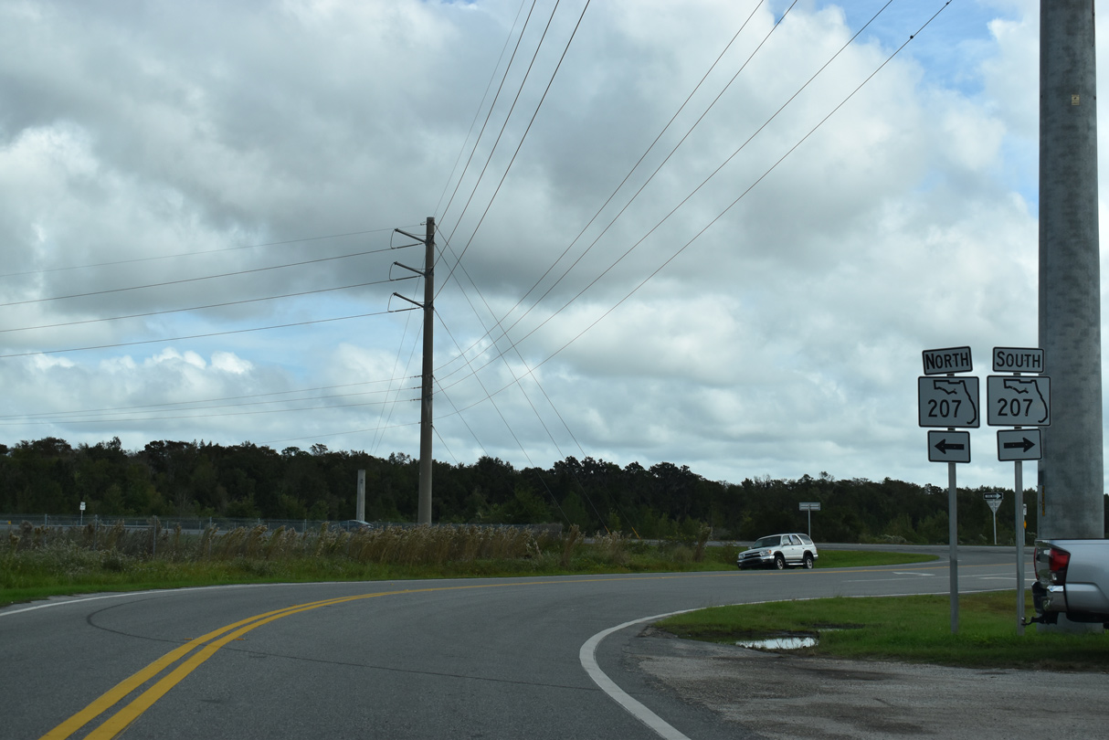
An erroneous junction shield for County Road 13 follows the Main Street intersection with SR 207 (Church Avenue) in Hastings. This should be a southbound confirming marker.
06/16/16
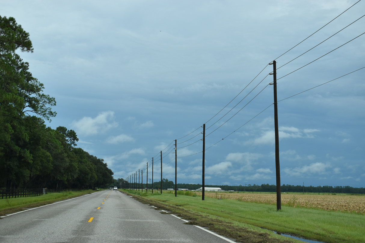
CR 13 runs east from Cowpen Branch Road across agricultural land.
09/13/22
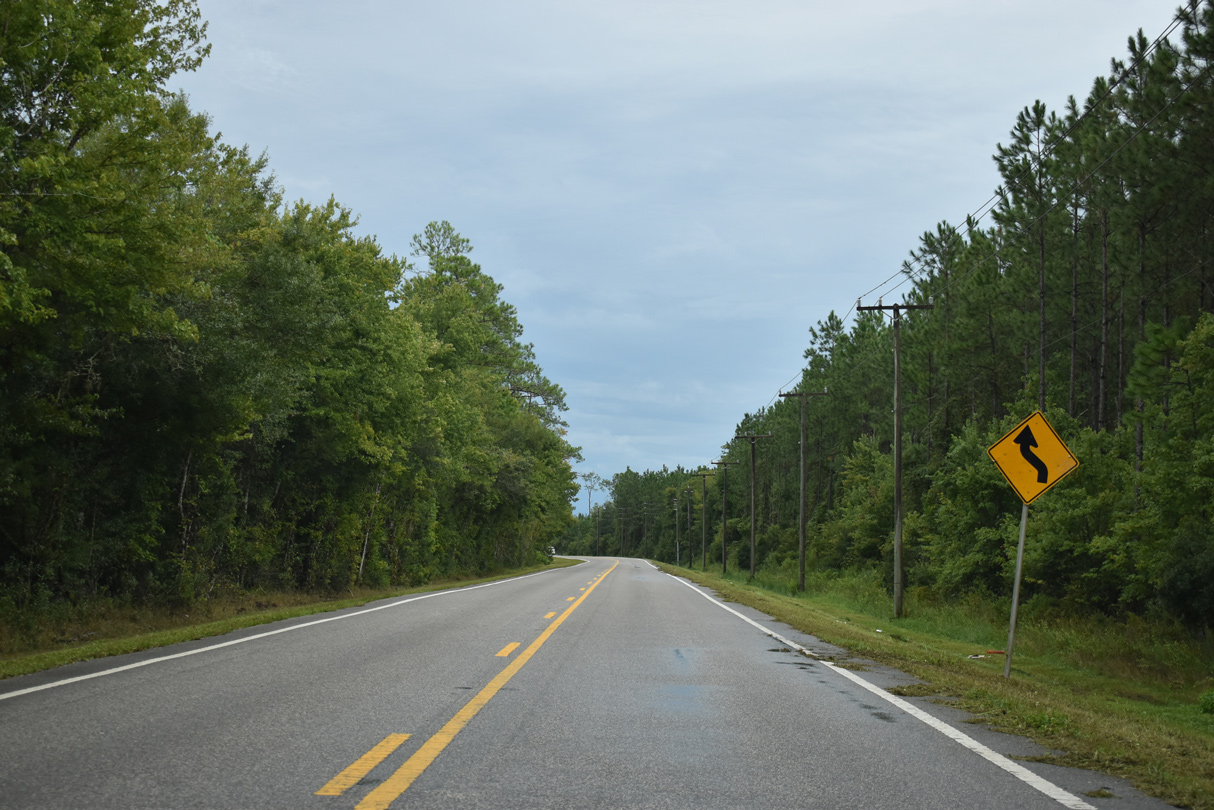
Shifting south through an S-curve, CR 13 heads to Gopher Ridge.
09/13/22
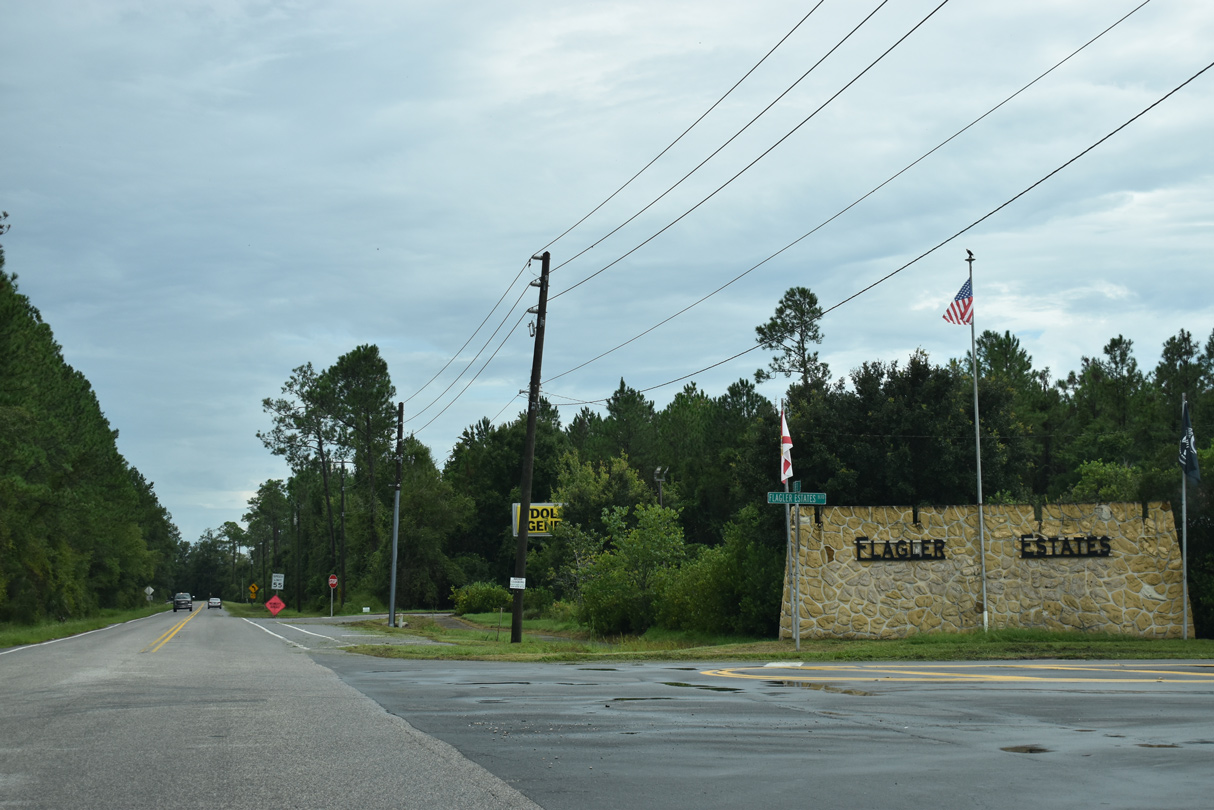
Flagler Estates Boulevard represents the main entrance into the Flagler Estates community from the east.
09/13/22
CR 13 south of Gopher Ridge.
09/13/22
CR 13 makes an unmarked turn south onto Old Brick Road toward Espanola in Flagler County.
09/13/22
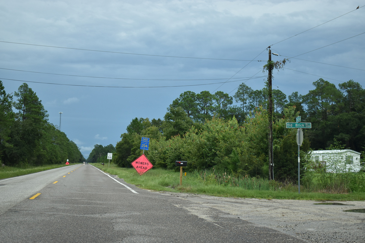
CR 13 south becomes CR 204 beyond Old Brick Road. CR 204 bee lines 5.60 miles east to U.S. 1.
09/13/22
References:
- "St. Johns County Commission OKs more changes for RiverTown." The Florida Times-Union (Jacksonville), April 20, 2017.
- "Rivertown, a Mattamy Homes Community, Honored with Silver Award in the St. Johns County Parade of Homes." Jacksonville Regional Chamber of Commerce web site. September 7, 2017.
- "St. Johns County Road & Lane Closures: Oct. 14-20." The St. Augustine Record (FL), October 14, 2017.
Photo Credits:
- Alex Nitzman, JP Nasiatka: 11/06/19
- ABRoads, JP Nasiatka: 06/16/16
- Alex Nitzman: 09/13/22
Connect with:
Page Updated Monday November 14, 2022.