
State Road 292 West / South
 South
South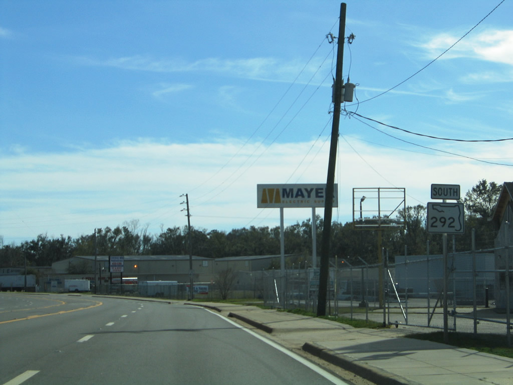
SR 292 splits from U.S. 29 (Palafox Street) and intersects Massachusetts Avenue west ahead of the first southbound shield along Pace Boulevard.
02/01/06
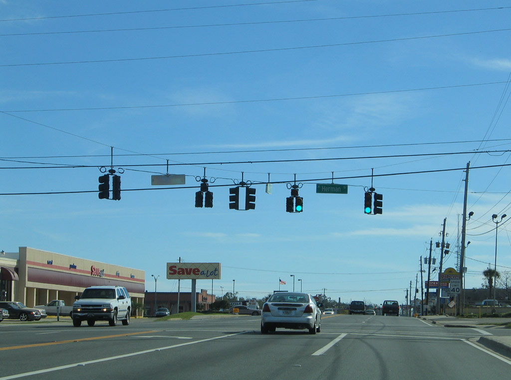
Herman Street leads west from a traffic light at SR 292 to N Street and east to U.S. 29 (Palafox Street) on the back side of Town & Country Plaza shopping center.
02/01/06
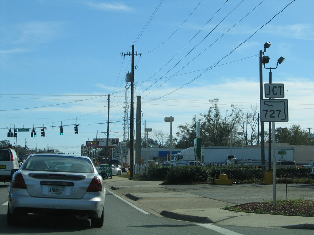
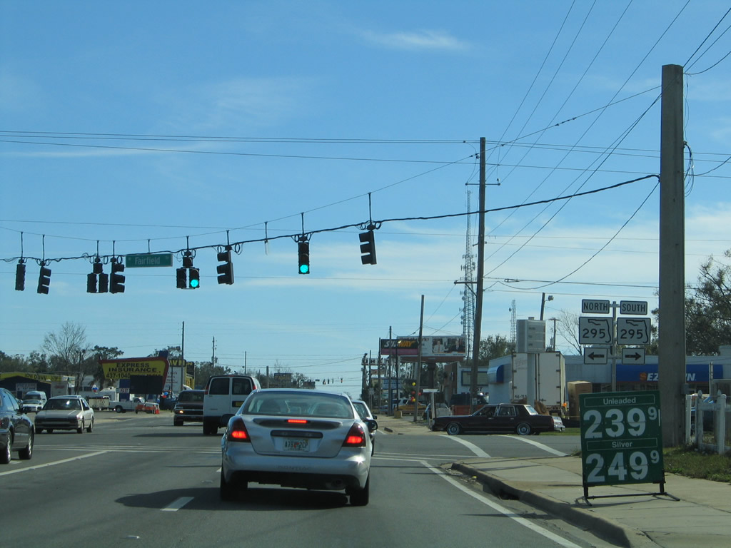
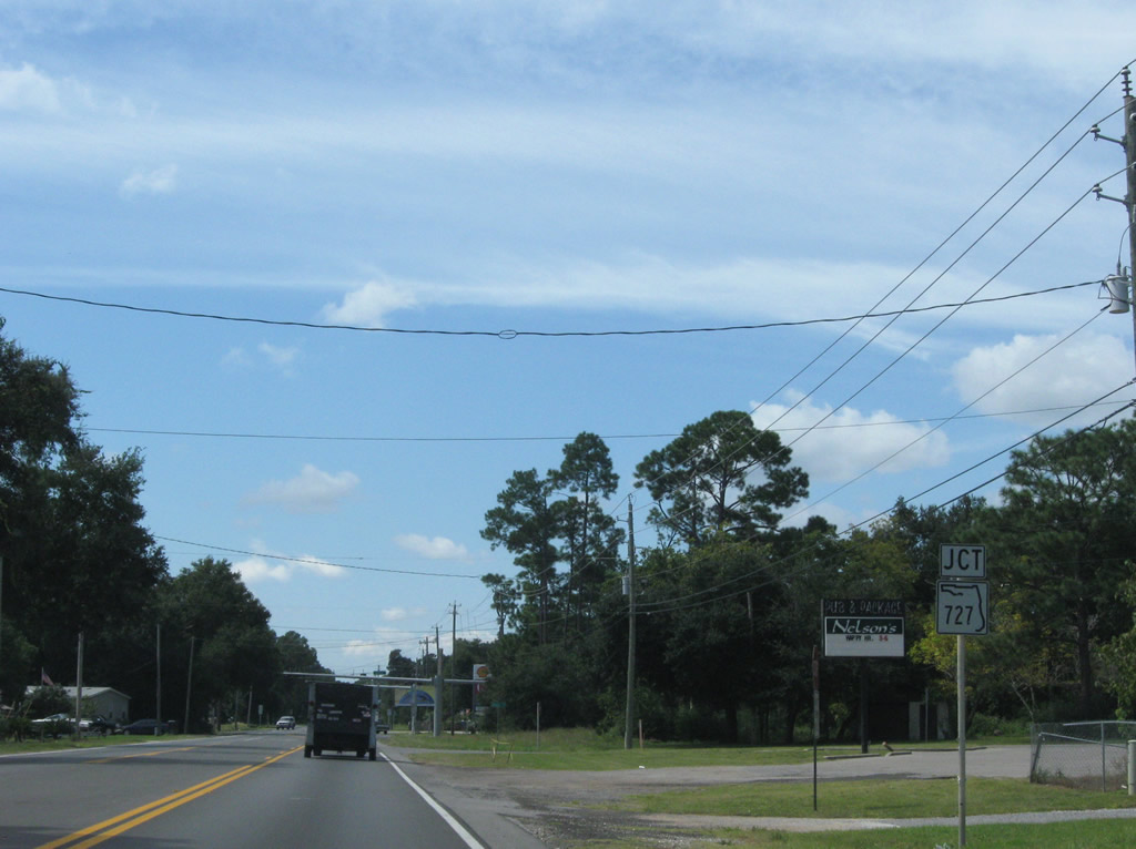
An error shield for SR 727 took the place of SR 295 for the intersection of Pace Boulevard and Fairfield Drive. Fairfield Drive is a part of SR 727 to the west, after SR 295 splits for an expressway to Warrington. Several signs were posted for SR 727 in lieu of SR 295 along the stretch of Fairfield Drive east to SR 292.
02/01/06
SR 295 constitutes an 8.23 mile loop from Pensacola Naval Air Station north to SR 289 (Ninth Avenue) in Pensacola. The entire route carries four lanes, with much of the frontage commercial in nature.
02/01/06
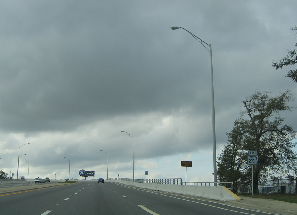
 West South
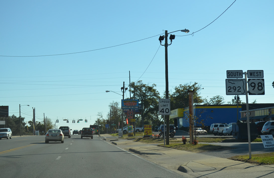
Reassurance markers posted for U.S. 98 west & SR 292 south of Cerventes Street. The two share eight blocks of Pace Boulevard.
11/17/12
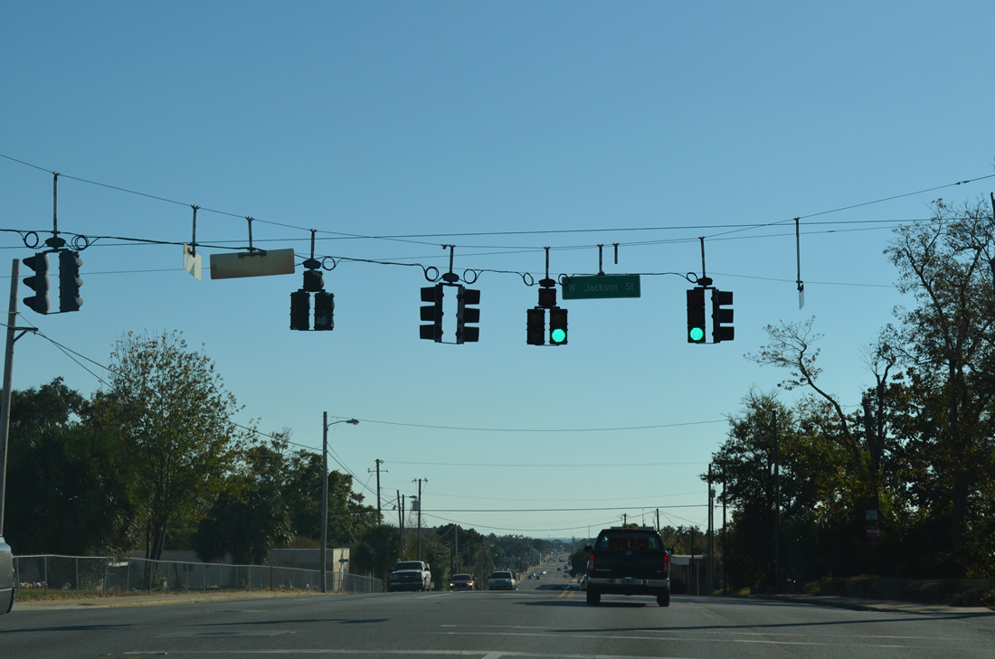
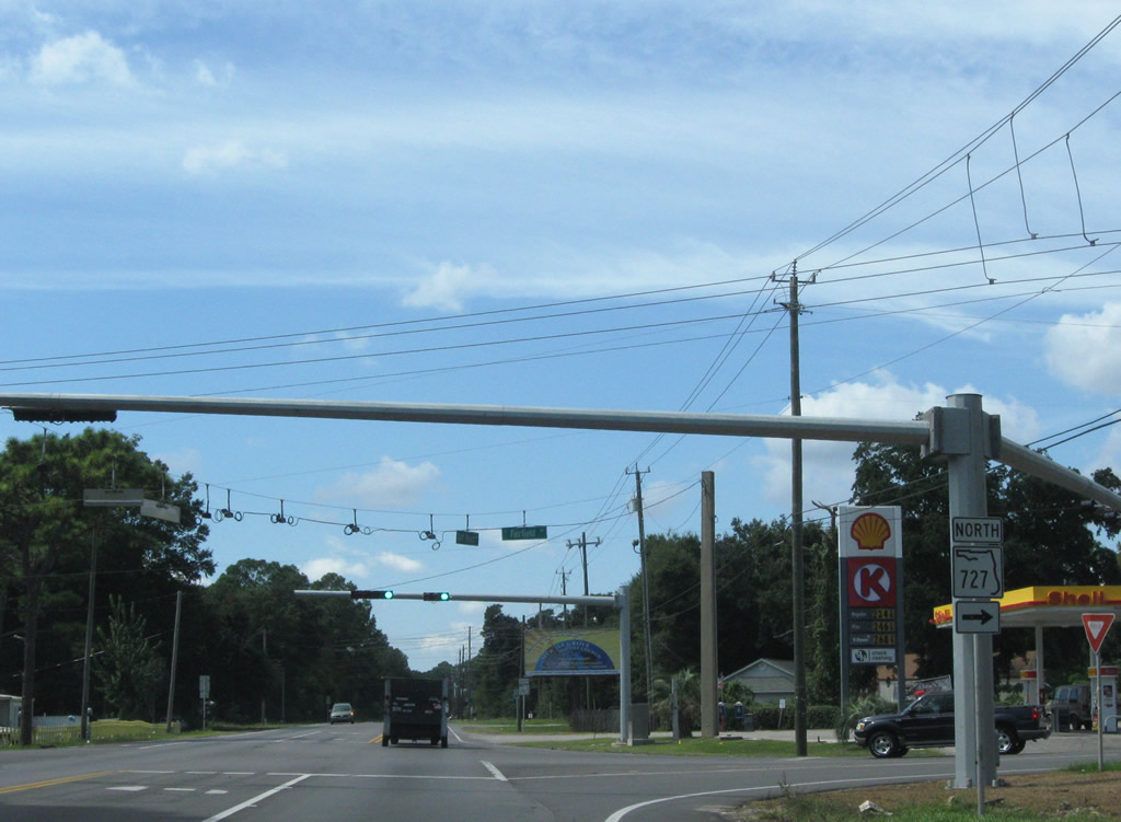
Jackson Street crosses Pace Boulevard two blocks south of U.S. 90 (Cerventes Street). The road doubles as unsigned County Road 298A west to SR 727 (Fairfield Drive) through Myrtle Grove.
11/17/12
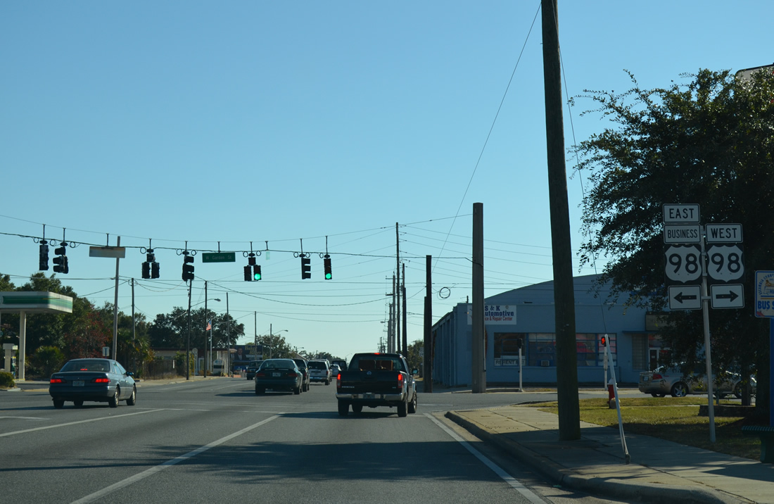
U.S. 98 resumes westward from SR 292 (Pace Boulevard) for Navy Boulevard as U.S. 98 Business returns to its parent from Garden Street east.
11/17/12
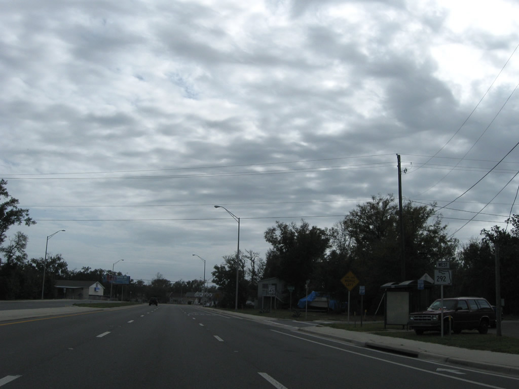
South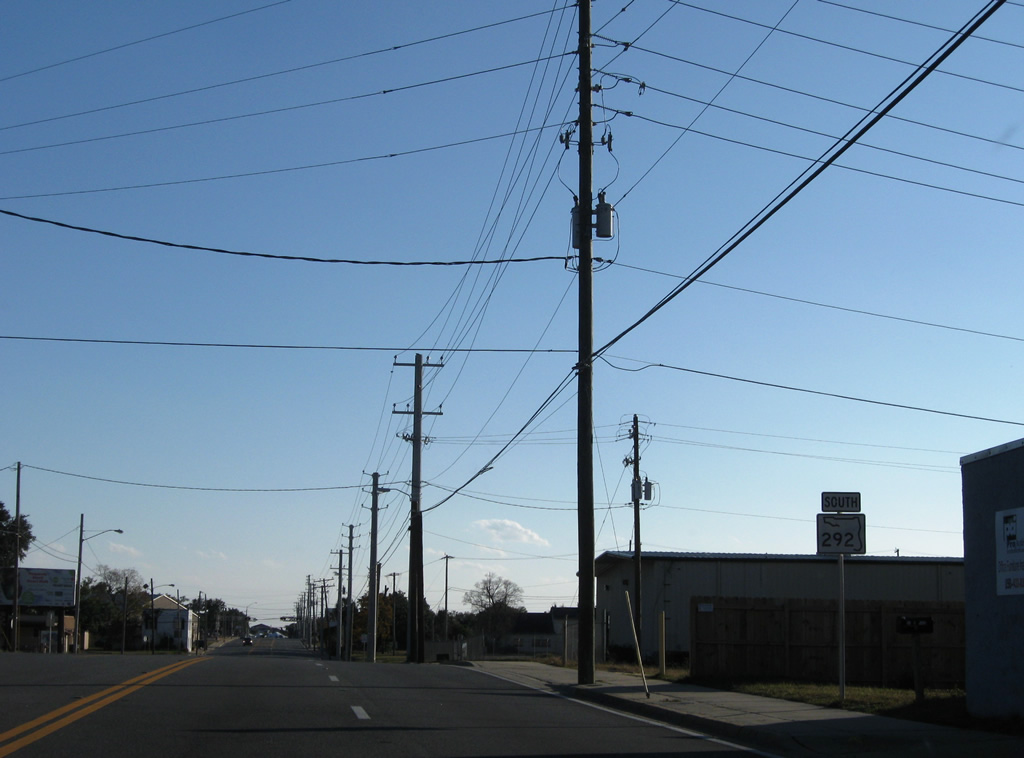
Leaving the overlap with U.S. 98 west, SR 292 continues south on Pace Boulevard another 0.6 miles to Barrancas Avenue.
11/30/08

SR 292 departs Pace Boulevard for the Bayou Chico Bridge to Warrington. Barrancas Boulevard carries the route to Navy Boulevard.
03/08/09
Constructed in 1998, the Bayou Chico Bridge carries six overall lanes with a westbound side sidewalk. The span replaced a draw bridge to the east.
Shields for SR 292 shift to an east/west orientation from Pace Boulevard to Gulf Beach Highway.
01/31/06
SR 292 touches down from the Bayou Chico Bridge at Lakewood Road in Warrington. Barrancas Avenue quickly reduces to four lanes ahead of the merge with old Barrancas Avenue.
03/08/09
Live Oak Avenue (former CR 292A) and Old Corry Field Road (unsigned CR 295A) come together at SR 292 (Barrancas Avenue) near the commercial center of Warrington. CR 295A leads north to New Warrington Road at West Pensacola. Live Oak Avenue winds southward to become Sunset Avenue (also former CR 292A) west to SR 295 (Navy Boulevard) and SR 292 along Gulf Beach Highway.
03/08/09
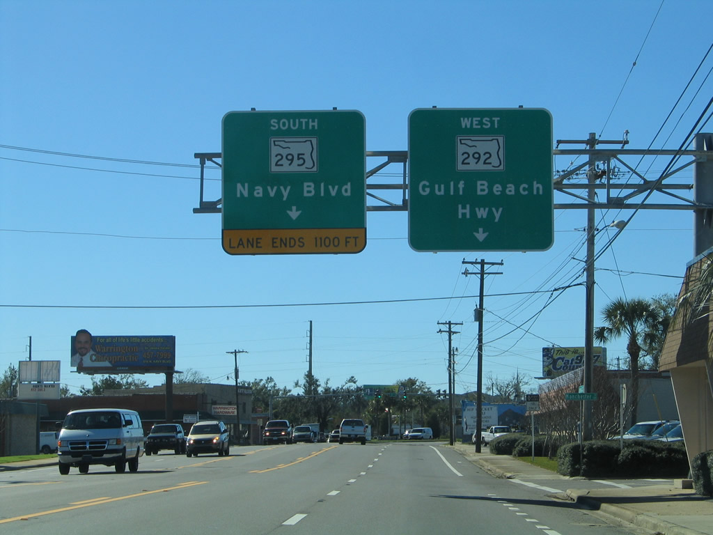
A set of guide signs precede SR 295 (Navy Boulevard). SR 295 is the main highway into Pensacola Naval Air Station to the south. Westward SR 292 becomes the Gulf Beach Highway en route to Perdido Key.
01/31/06
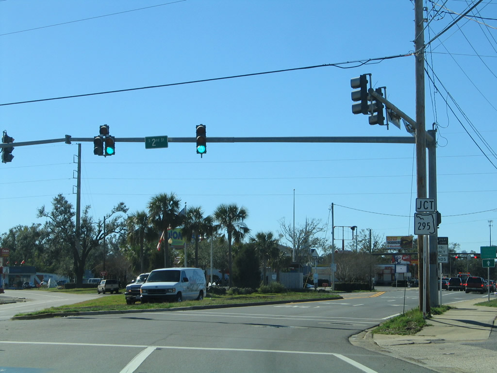
2nd Street north and the original Barrancas Avenue (now an eastbound connector from SR 295 north to SR 292 east) tie into SR 292 west at this intersection. The traffic light with SR 295 is next.
01/31/06
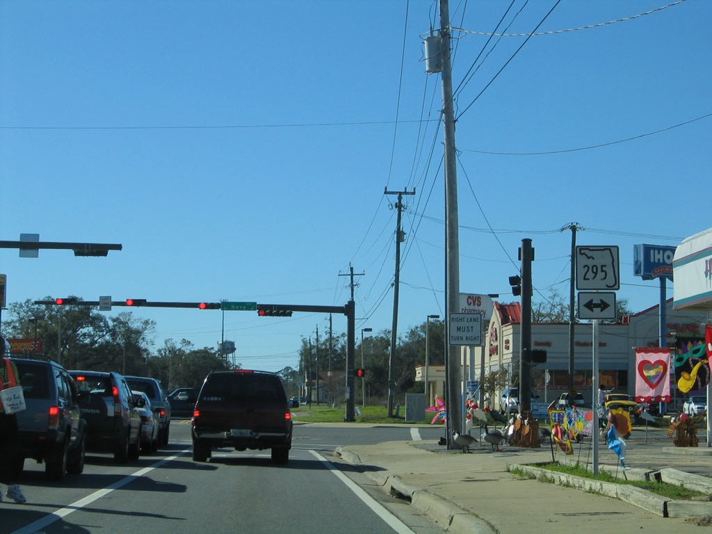
The second meeting of SR 292 and 295. SR 295 joins U.S. 98 for a 0.3 mile overlap to the north before splitting with Navy Boulevard for New Warrington Road into West Pensacola. Southward the state road concludes at the Bayou Grande bridge ahead of the Main Gate to Pensacola N.A.S.
01/31/06
Following Gulf Beach Highway, SR 292 angles southward, following the periphery of Bayou Grande to Pleasant Grove. Shields for SR 292 utilize north/south banners.
10/01/09
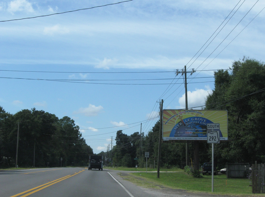
Approaching the southern end of SR 727 (Fairfield Drive) along SR 292 (Gulf Beach Highway) south. Fairfield Drive encircles the western suburbs of Pensacola between Gulf Beach Highway and Interstate 110.
10/01/09
SR 727 travels 6.52 miles north around Myrtle Grove to end at SR 295 in West Pensacola. SR 295 continues Fairfield Drive to the first meeting with SR 292 (Pace Boulevard).
10/01/09
Continuing southwest along Gulf Beach Highway, SR 292 crosses Soldiers Creek ahead.
10/01/09
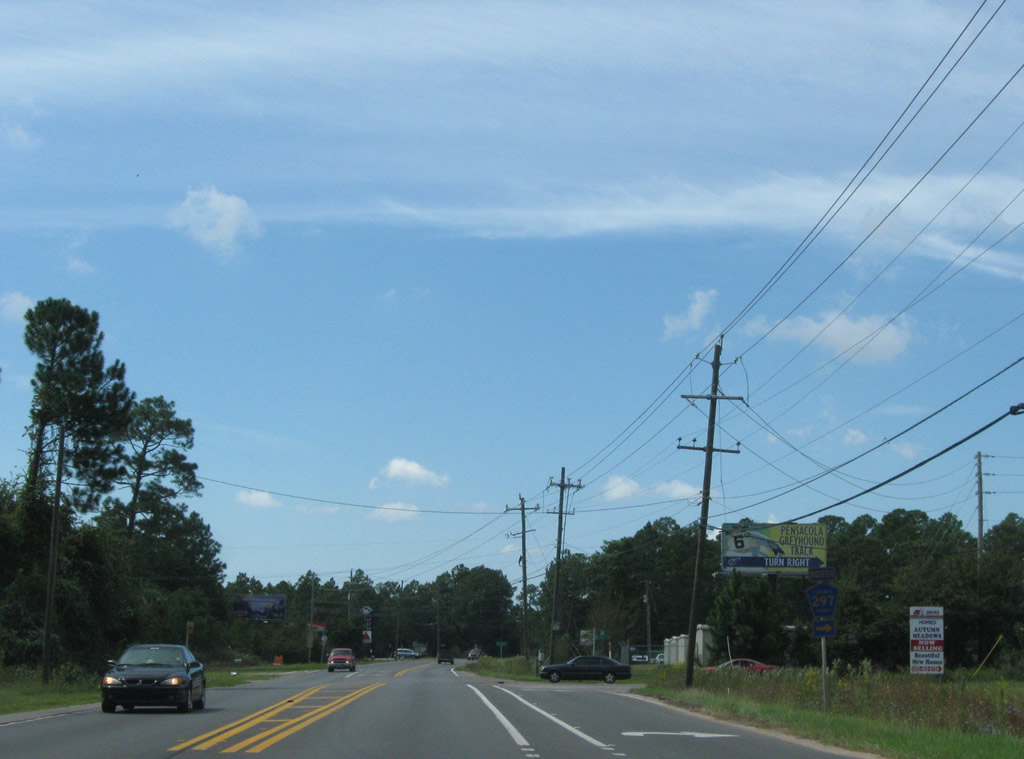
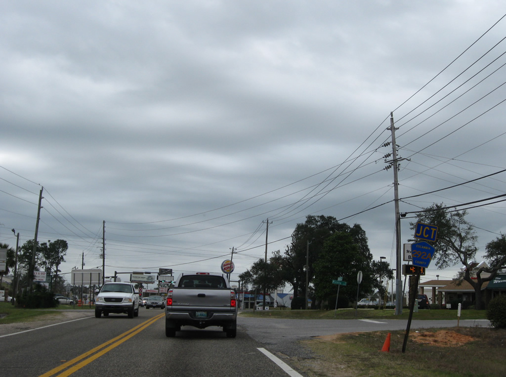
CR 297 begins at SR 292 and leads northwest to Pensacola Greyhound Track and U.S. 98 and SR 298 at Millview. SR 292 splits with Gulf Beach Highway for Sorrento Road at CR 292A nearby.
10/01/09
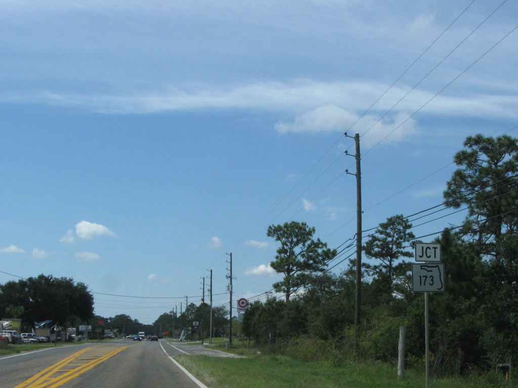
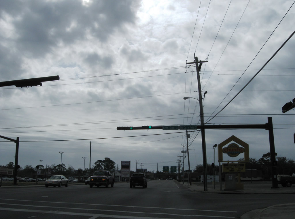
SR 292 leaves Pleasant Grove for the commercialized intersection with SR 173 (Blue Angel Parkway).
10/01/09
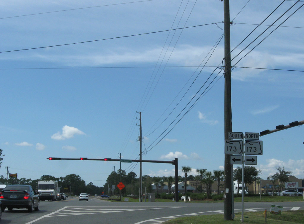
SR 173 comprises a 11.93 mile roadway linking the West Gate of Pensacola N.A.S. with Bellview and SR 297 (Pine Forest Road). Together with SR 292 and 297, the roadway provides part of a longer route linking Perdido Key with Interstate 10.
10/01/09
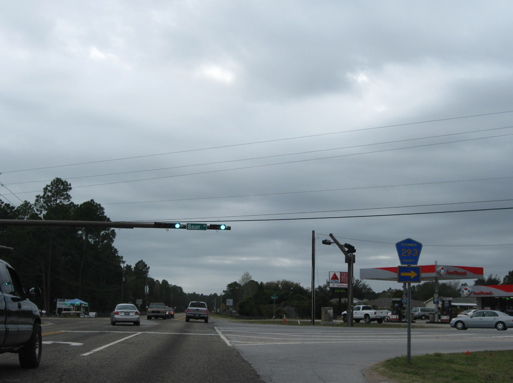
An undeveloped stretch awaits westbound drivers between SR 173 and County Road 293 (Bauer Road) through portions of Tarkiln Bayou State Park. CR 293 begins at Sorrento Road and leads north to western reaches of the park and U.S. 98 (Lillian Highway) near Paradise Beach. Bauer Road south connects SR 292 with County Road 292A (Gulf Beach Highway) at Big Lagoon State Park.
10/01/09
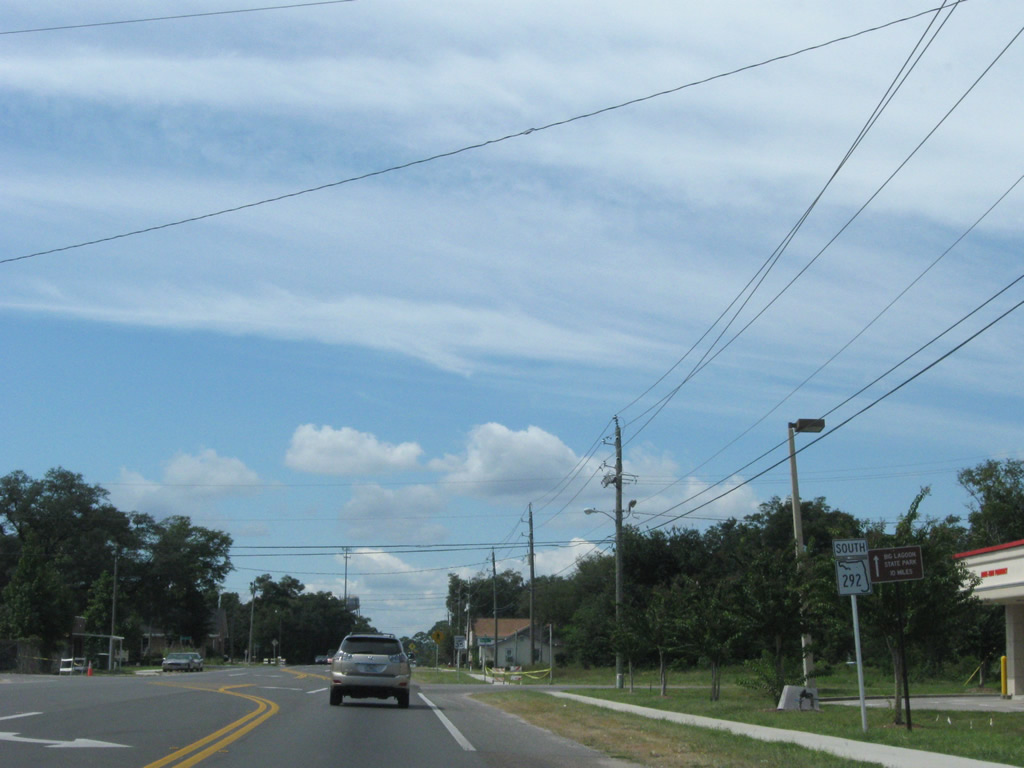
Turning southward, SR 292 (Sorrento Road) makes its final approach to Perdido Key.
03/08/09
SR 292 kinks westward by Bayou Garcon to County Road 292A (Gulf Beach Highway) east and Innerarity Point Road (former SR 293) west.
03/08/09
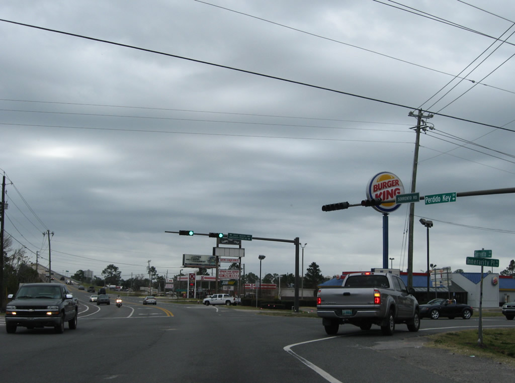
County Road 292A follows Gulf Beach Highway (former SR 292) east to Pleasant Grove. Innerarity Point Road spurs west to a number of residences along a peninsula between Perdido Bay and the Intracoastal Waterway.
03/08/09

South from Innerarity Point Road, drivers climb onto the Theo Baars Bridge high level span across the Intracoastal Waterway.
03/08/09
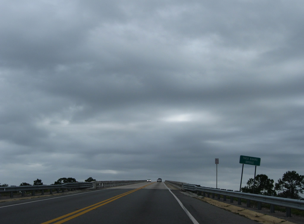
The Theo Baars Bridge arcs across the Intracoastal Waterway as one of two bridges between the mainland and Perdido Key. The other span is the Alabama 182 Perdido Pass Bridge.
03/08/09
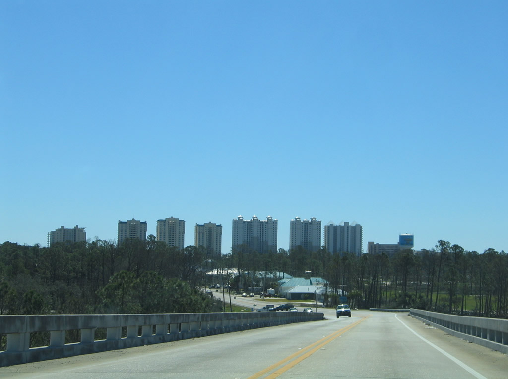
Lowering from the Theo Baars Bridge, SR 292 curves toward Johnson Beach before turning west alongside a number of condominiums.
01/31/06
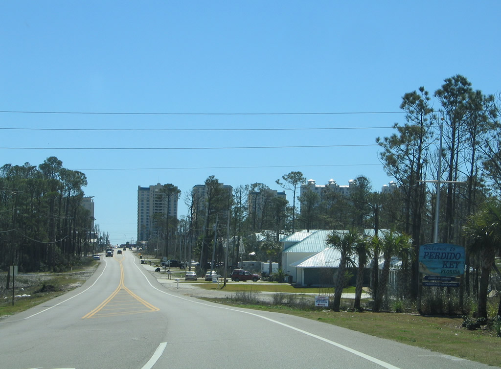
Welcome to Perdido Key sign posted as SR 292 (Perdido Key Drive) intersects Gongora Drive. The barrier island stretches east to Pensacola Bay and west to Perdido Pass in Orange Beach.
01/31/06
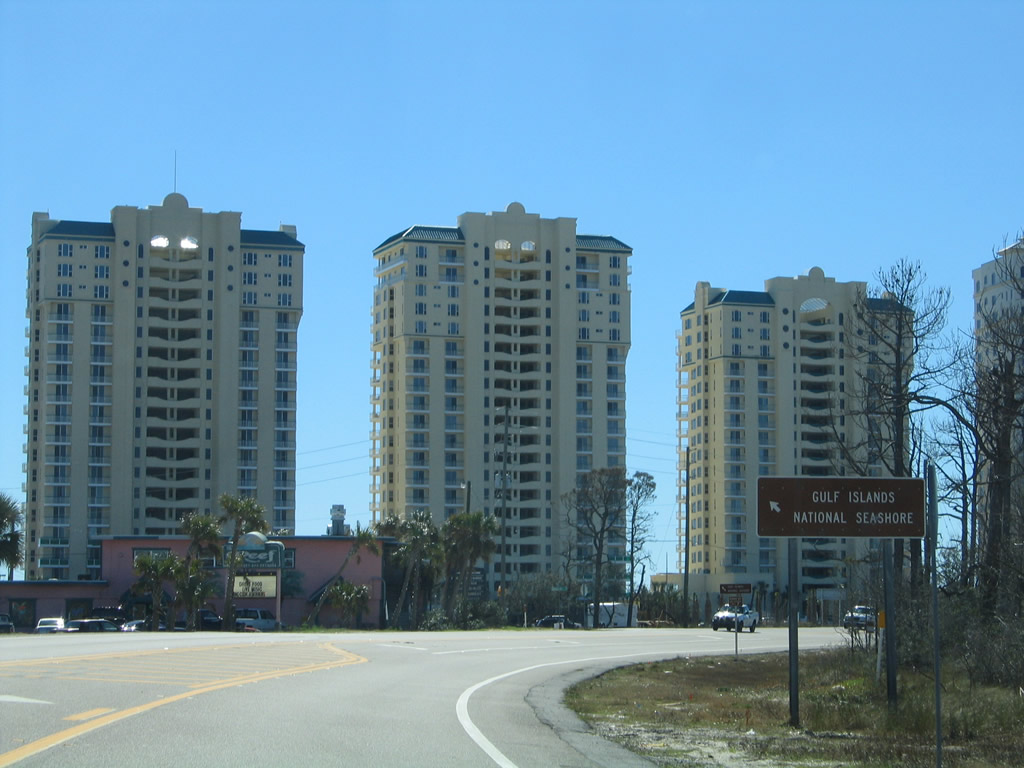
Johnson Beach Road spurs east from SR 292 to the Perdido Area of Gulf Islands National Seashore.
01/31/06
This reassurance shield, since removed, reverted SR 292 to an east/west route from Johnson Beach Road to the state line.
01/31/06
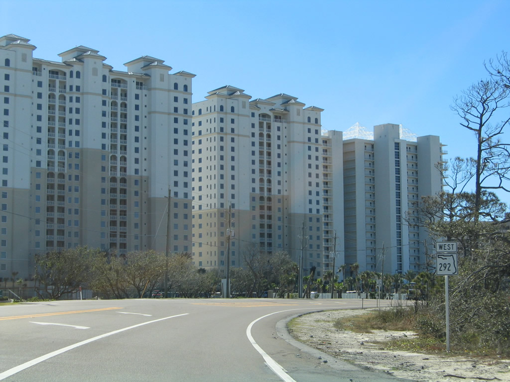
SR 292 (Perdido Key Drive) consists of a two lane highway with occasional turn lanes to Orange Beach, Alabama.
01/31/06
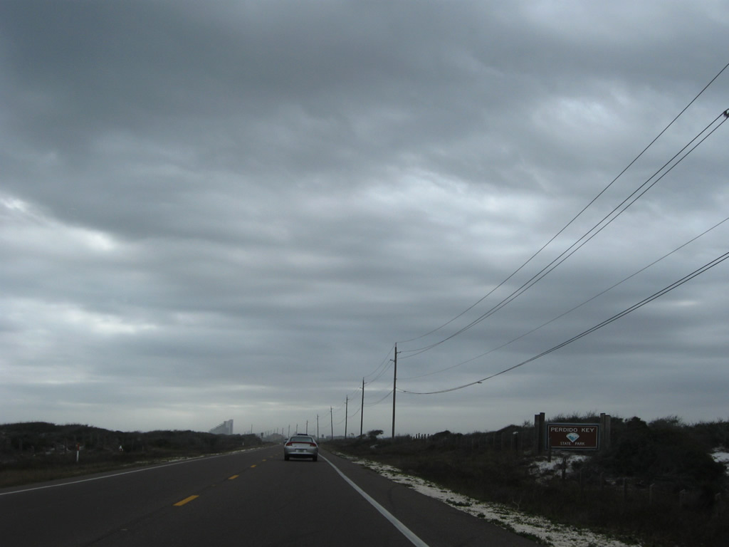
A reprieve to the beach development alongside SR 292 exists through Perdido Key State Park.
03/08/09
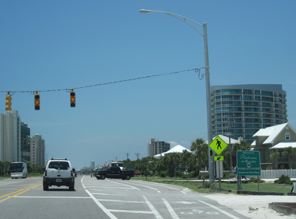
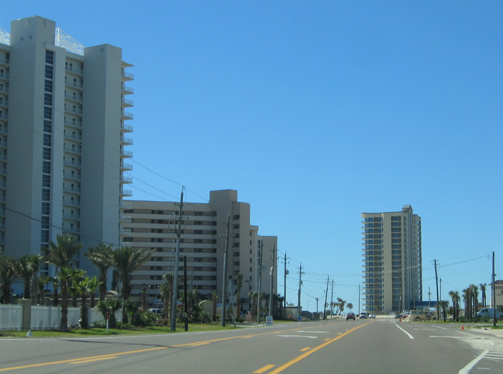
Condominium high rises again front the Gulf of Mexico between SR 292 (Perdido Key) and the beach from the state park west to the Alabama state line. Alabama 182 takes over for SR 292 and follows Perdido Beach Boulevard west from the Florabama to the Perdido Pass Bridge and Gulf Shores.
06/10/10


Photo Credits:
- Alex Nitzman: 01/31/06, 02/01/06
- ABRoads: 11/30/08, 03/08/09, 10/01/09, 11/17/12
- Alex Nitzman, Lou Corsaro: 06/10/10
Connect with:
Page Updated Saturday November 17, 2012.