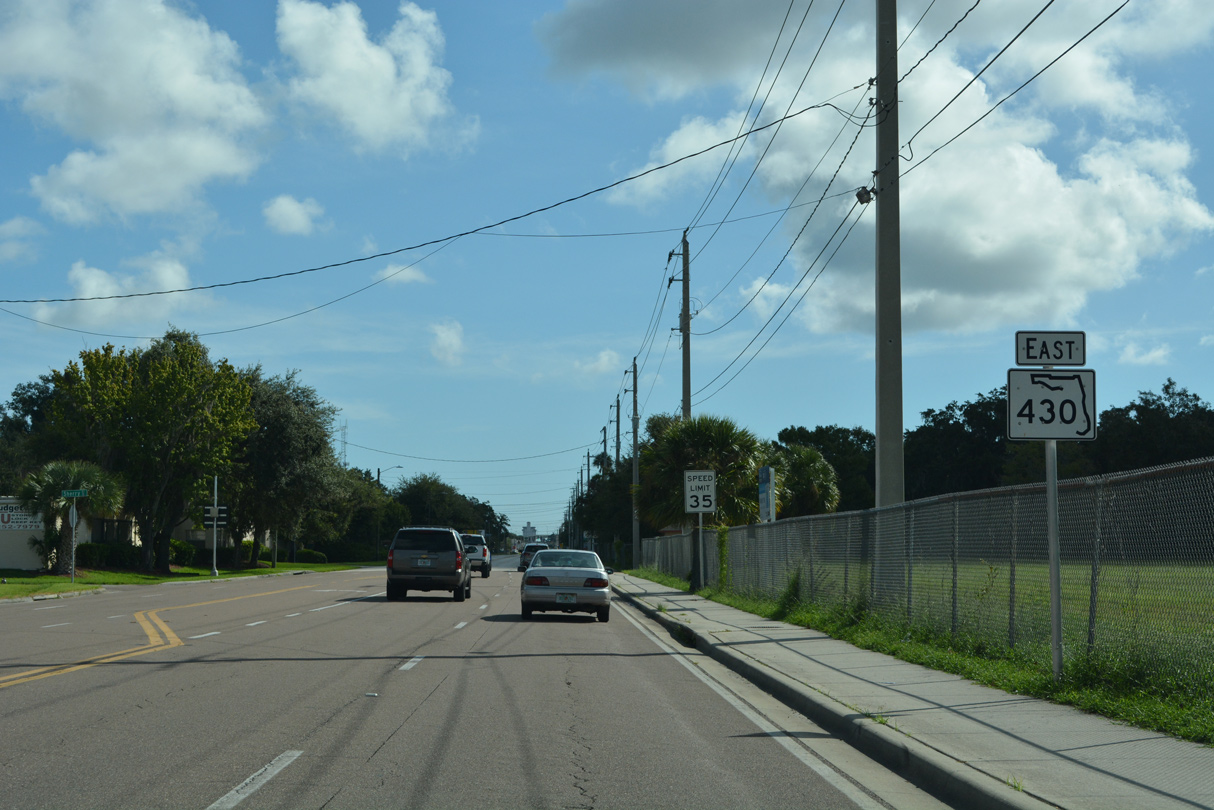
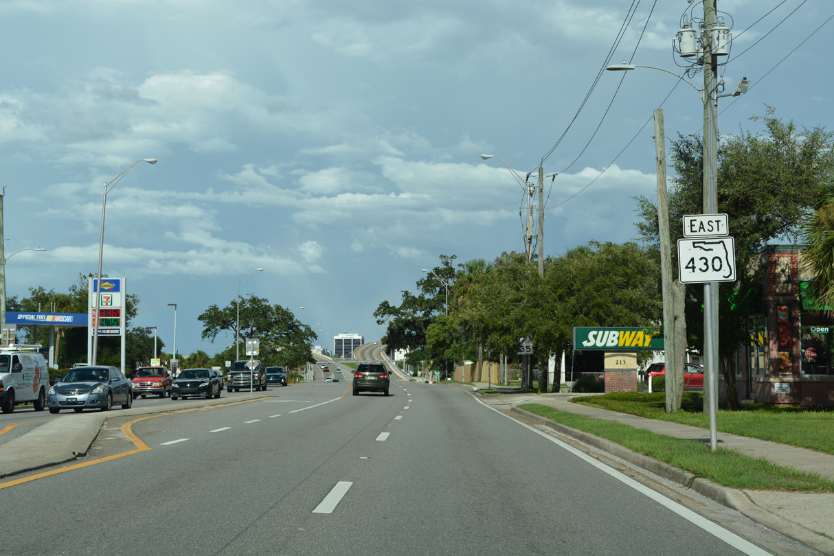
Florida State Road 430 follows Mason Avenue 2.37 miles east from SR 483 (Clyde Morris Boulevard) to U.S. 1 (Ridgewood Avenue) and Beach Street in Downtown Daytona Beach. The state road separates into a one way couplet across the Halifax River. Oakridge Boulevard carries eastbound traffic 0.983 miles from Beach Street (CR 4011) to SR A1A (Atlantic Avenue). Westbound traffic follows Seabreeze Boulevard to the north for 0.997 miles from Atlantic Avenue.
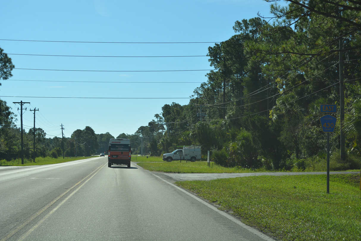
Mason Avenue extends west 1.87 miles from the end of SR 430 and SR 483 / CR 483 (Clyde Morris Boulevard) as CR 430 to Williamson Boulevard (CR 4009) and South Gateway Business Center.

East
CR 430 is unmarked along Mason Avenue east leading away from CR 4009 (Williamson Boulevard).
09/12/22
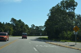
Mason Avenue proceeds east to an area of industrial parks at Fentress Boulevard.
09/12/22

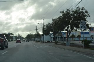
The first reassurance marker for CR 430 stands east of Fentress Boulevard.
09/12/22
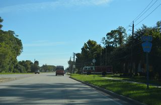
Bill France Boulevard extends north from U.S. 92 (International Speedway Boulevard) and Daytona International Speedway to CR 483 (Clyde Morris Boulevard).
09/12/22
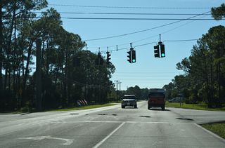
CR 430 curves northward beyond Bill France Boulevard.
09/12/22
09/12/22
09/12/22
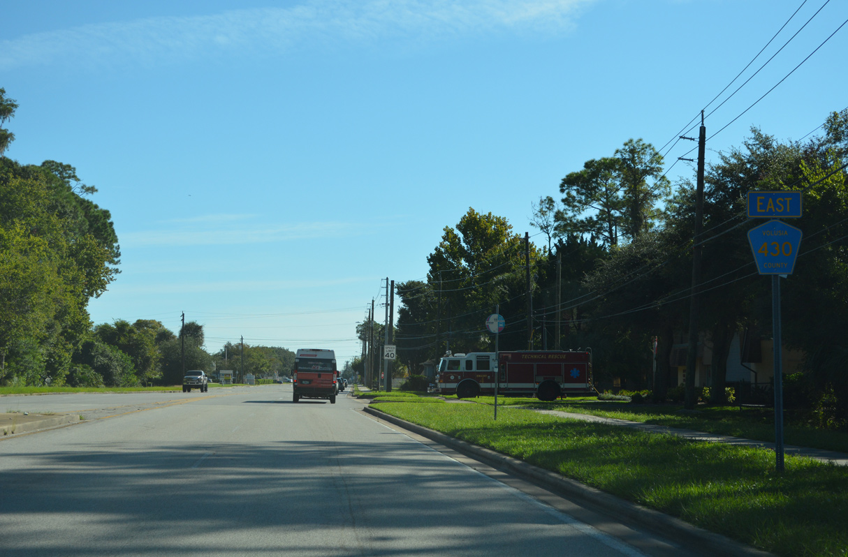
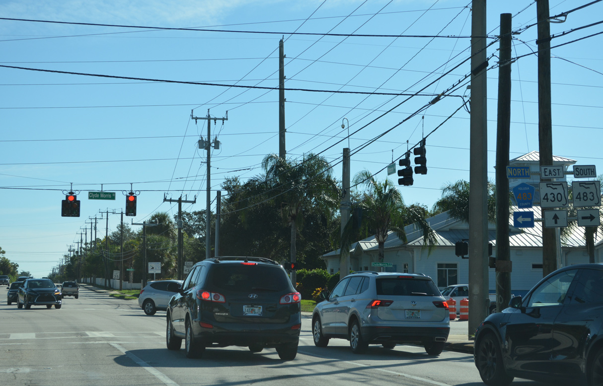
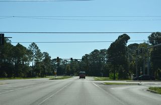
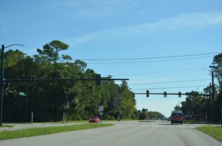
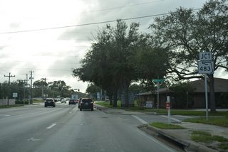
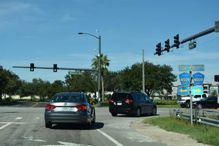
Advancing to Clyde Morris Boulevard on CR 430 (Mason Avenue) eastbound. Clyde Morris Boulevard leads north as CR 483 to Ormond Beach and south as SR 483 to U.S. 92 (International Speedway Boulevard) and Embry-Riddle Aeronautical University.
09/12/22

Clyde Morris Boulevard is a 13.5 mile long arterial running between I-95 and SR 5A (Nova Road) north to SR 40 (Granada Road) and south to Taylor Road in Port Orange. Mason Avenue becomes state maintained east of SR 483.
09/12/22
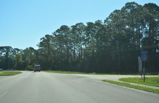
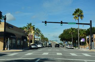
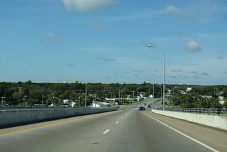
SR 430 separates into a couplet of Oakridge Boulevard east and Seabreeze Boulevard across the Halifax River.
09/12/22
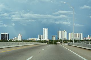
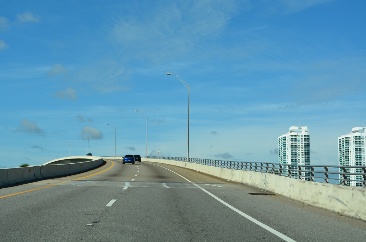
The high rise bridge over the Halifax River accommodates large vessels along the Intracoastal Waterway.
09/12/22
Beachfront condominium towers line SR A1A along the Atlantic Ocean.
09/12/22
09/12/22
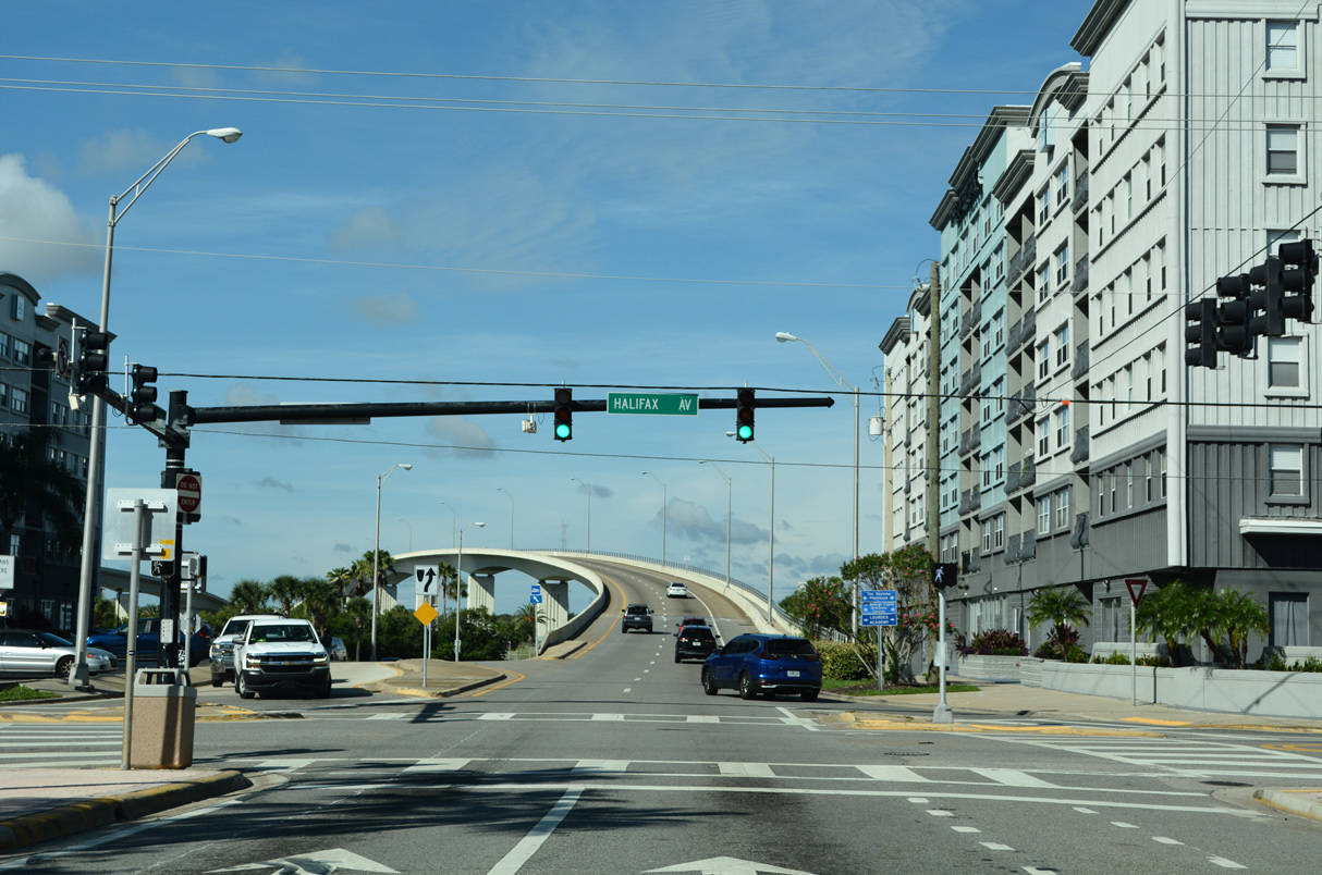
Halifax Avenue (CR 4001) parallels the east banks of the Halifax River.
09/12/22
09/12/22
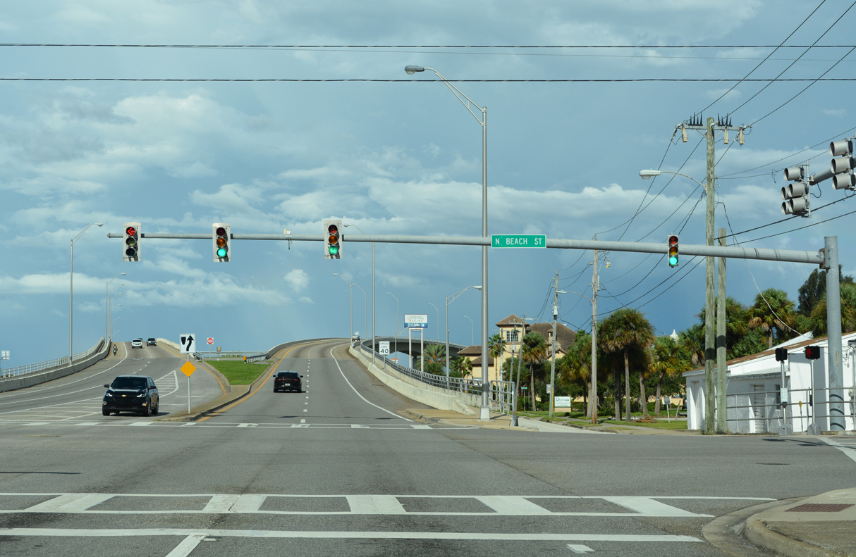
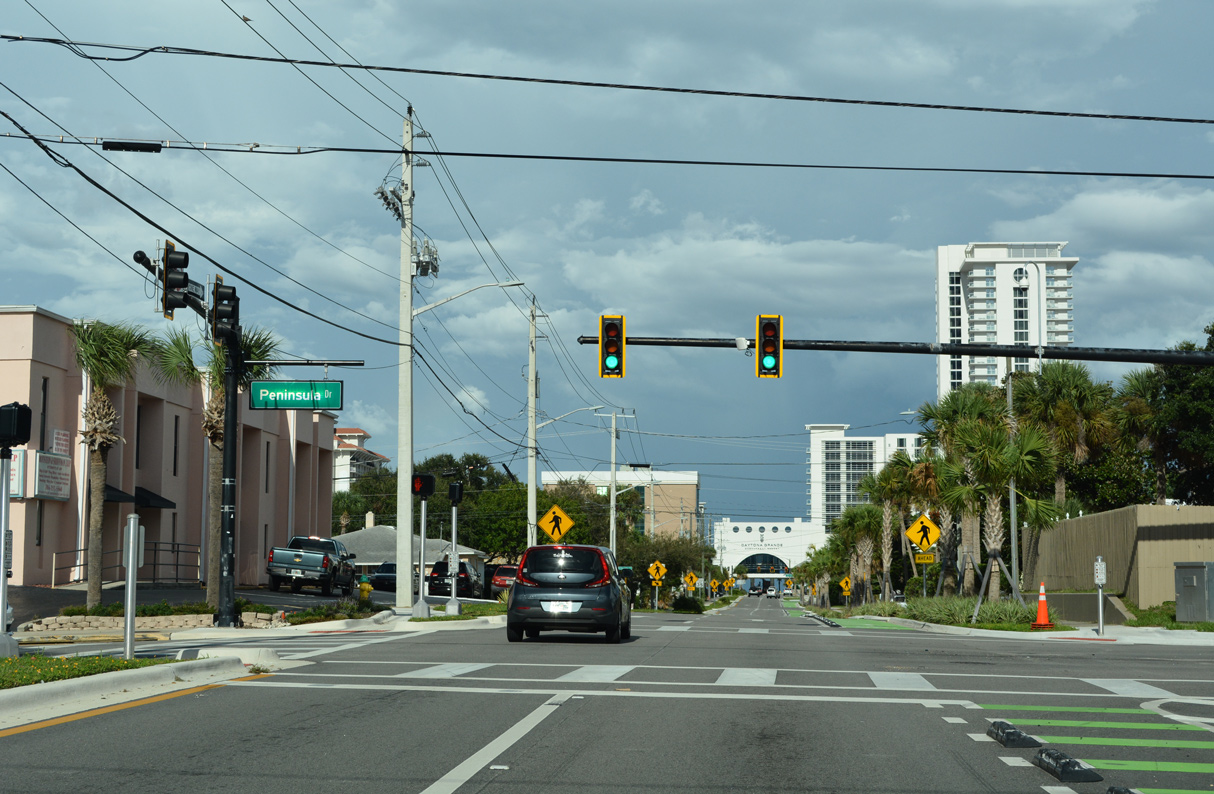
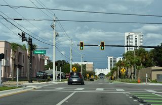
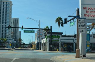
SR 430 (Oakridge Boulevard) concludes three blocks east of Peninsula Drive at SR A1A (Atlantic Avenue).
09/12/22
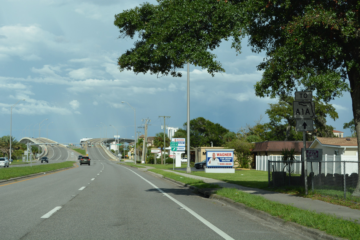
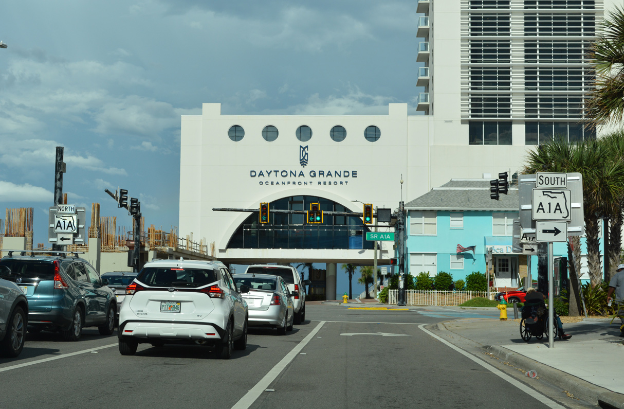
SR A1A (Atlantic Avenue) heads south to the Ocean Center and Daytona Beach Shores and north through Ormond Beach to Ormond-By-The-Sea.
09/12/22
09/12/22

West
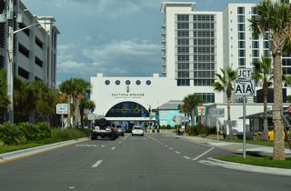
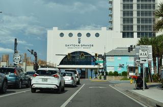
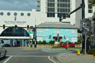
SR A1A (Atlantic Avenue) south at the westbound beginning of SR 430 (Seabreeze Boulevard) in Daytona Beach adjacent to the Atlantic Ocean.
09/13/22
SR 430 follows Seabreeze Boulevard west five blocks from SR A1A (Atlantic Avenue) to the Halifax River.
09/13/22

Confirming markers stand along both sides of Seabreeze Boulevard west beyond SR A1A (Atlantic Avenue).
09/13/22
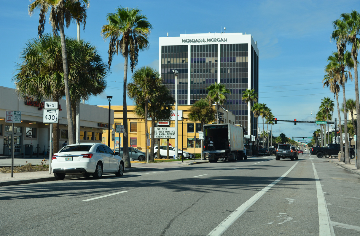
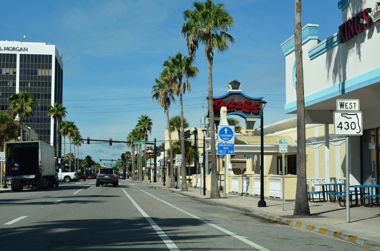
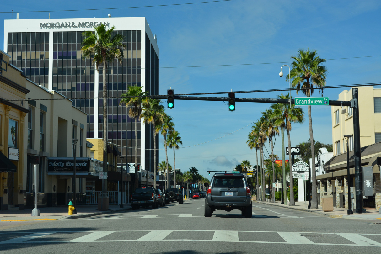
Westbound SR 430 (Seabreeze Boulevard) at Grandview Avenue.
09/13/22
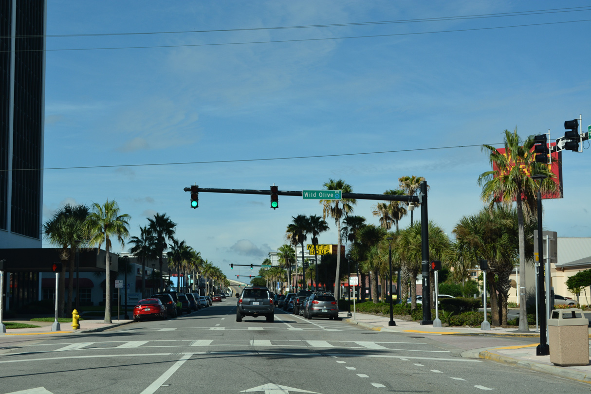
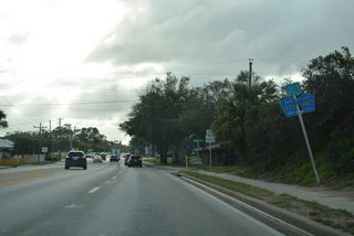
Wild Olive Avenue intersects Seabreeze Boulevard at the succeeding traffic light on SR 430 west.
09/13/22

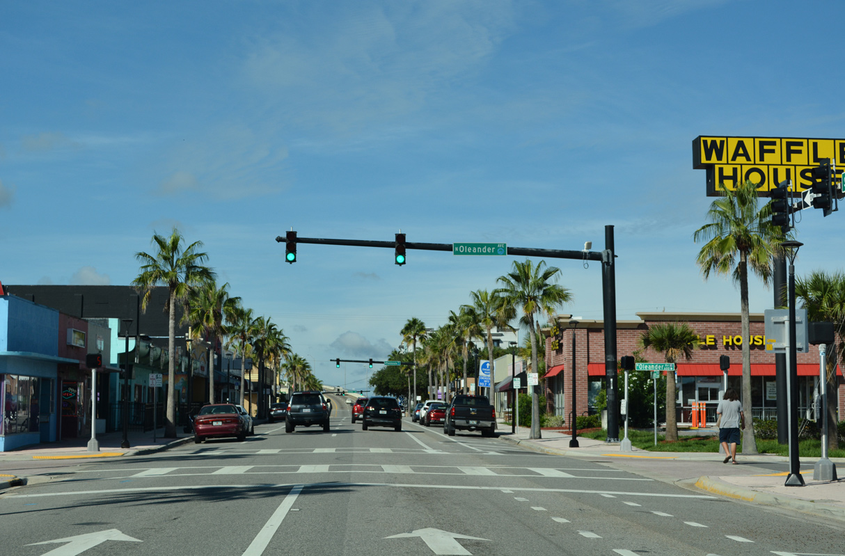
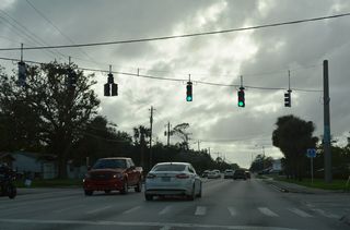
The next traffic light along SR 430 operates at Oleander Avenue.
09/13/22
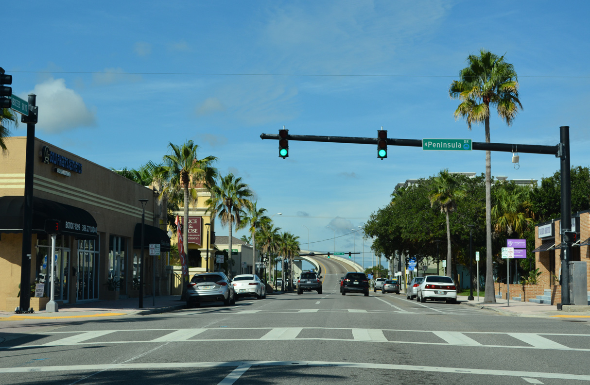
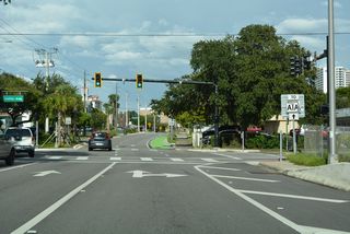
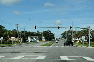
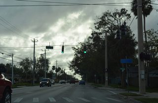
N Peninsula Drive meets SR 430 at this signal. Further south beyond U.S. 92, Peninsula Drive is a part of SR 441.
09/13/22

Halifax Avenue (CR 4001) parallels the west shore of the barrier island and crosses SR 430 (Seabreeze Boulevard) just ahead of the Halifax River bridge.
09/13/22
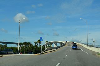
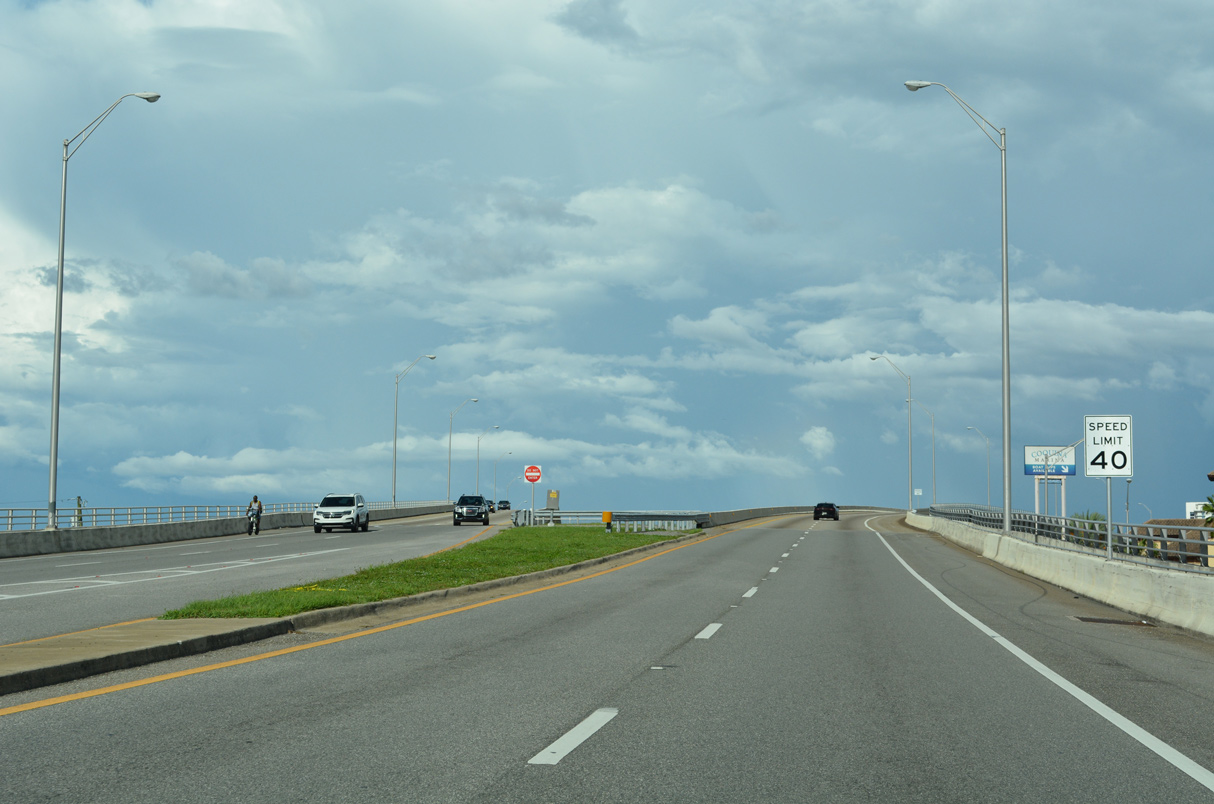
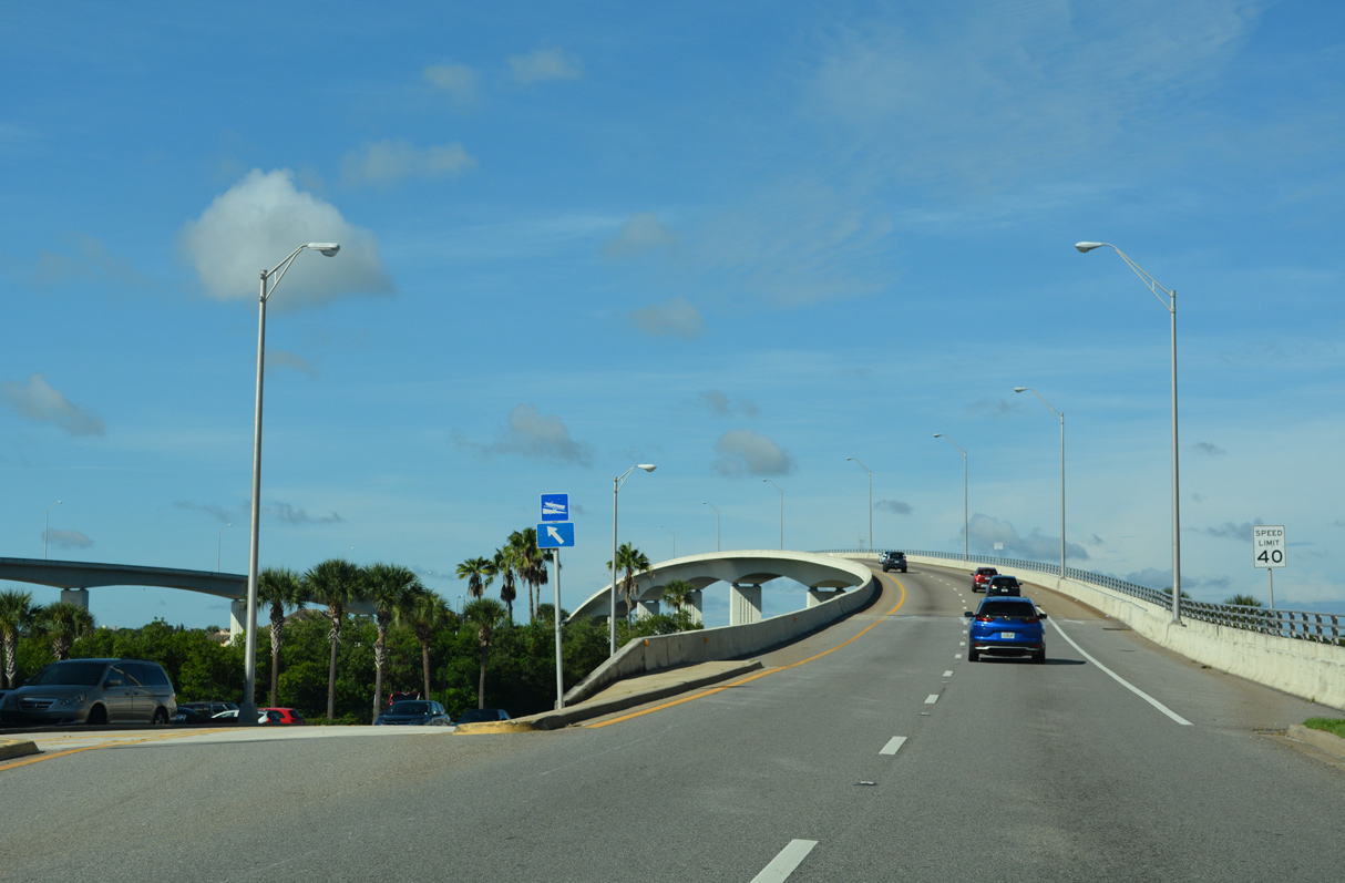
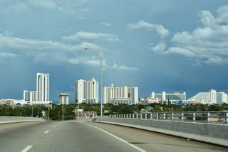
SR 430 follows a one way couplet on the barrier island of Daytona Beach with eastbound utilizing Oakridge Boulevard. The two directions coalesce over the Halifax River along separate spans.
09/13/22
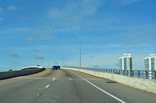
Both high rise bridges taking SR 430 across the Halifax River / Intracoastal Waterway were completed in 1997.1
09/13/22
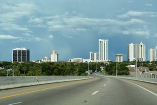
Measuring 2,322 feet in length, the Seabreeze Boulevard bridge along SR 430 westbound over the Intracoastal Waterway is 30 feet longer than the eastbound span along Oakridge Boulevard.1,2
09/13/22
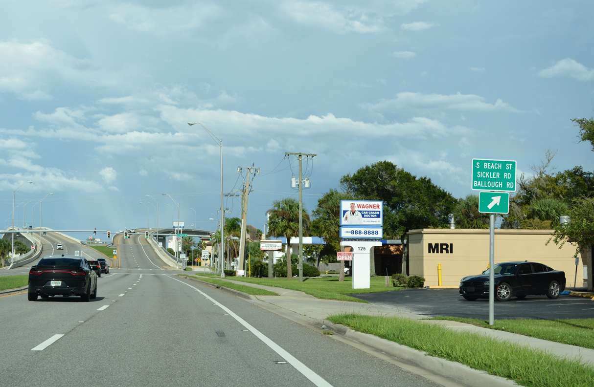
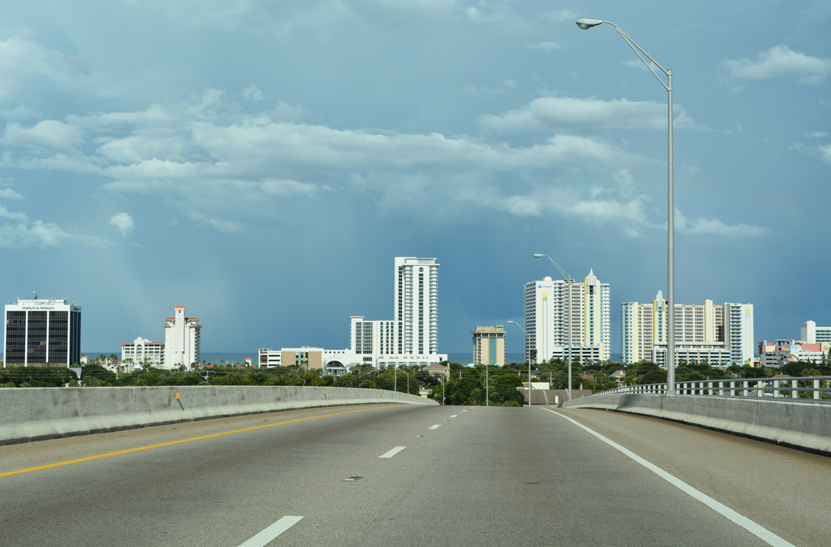
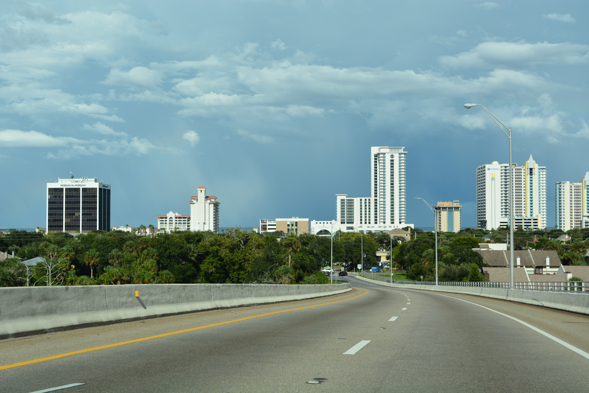
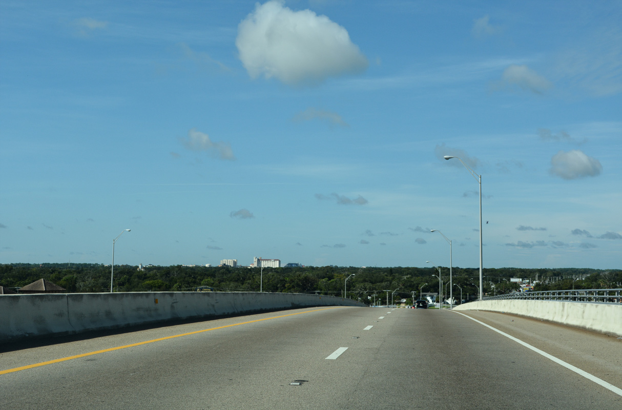
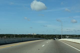
SR 430 descends into central Daytona Beach over Ballough Road, meeting Beach Street (CR 4011) at the Halifax River bridge west end.
09/13/22
Beach Street (CR 40411) leads north to Riverside Drive and Holly Hill.
09/13/22

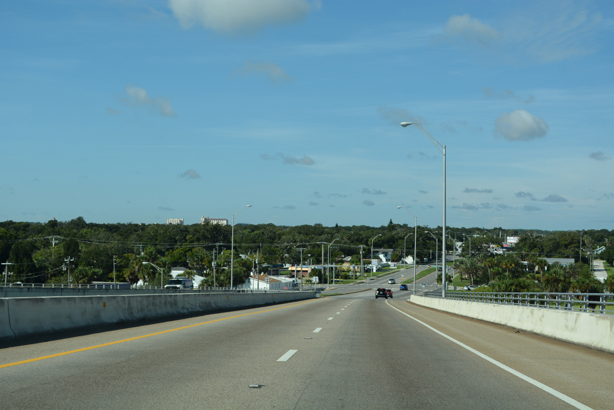
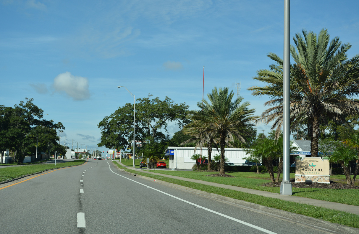
SR 430 (Mason Avenue) straddles the Holly Hill / Daytona Beach city line west from the Halifax River to the Florida East Coast (FEC) Railway.
09/13/22

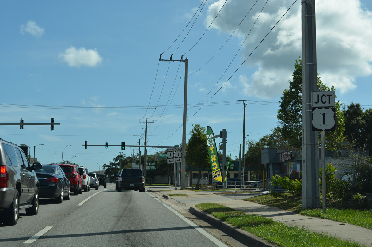
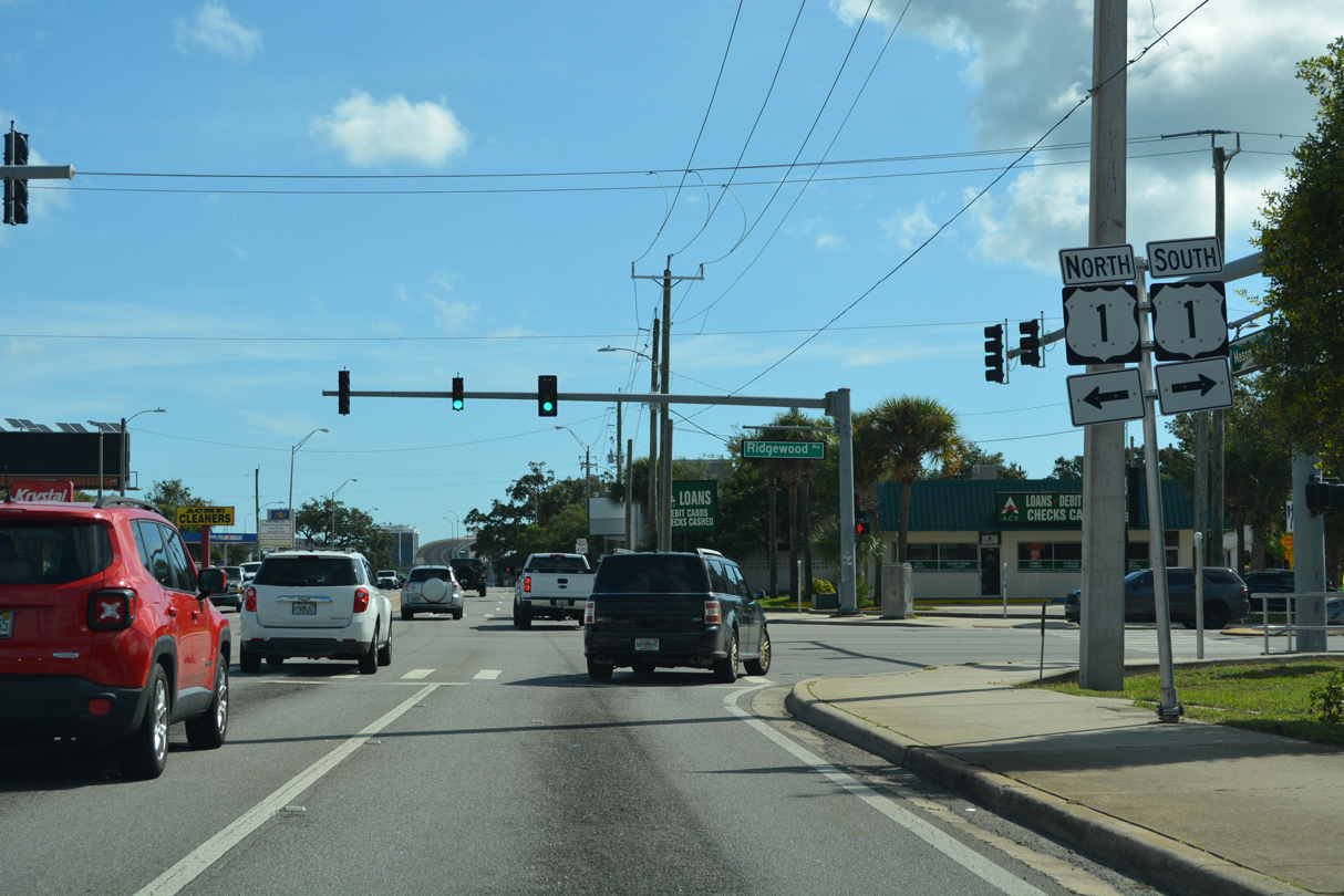
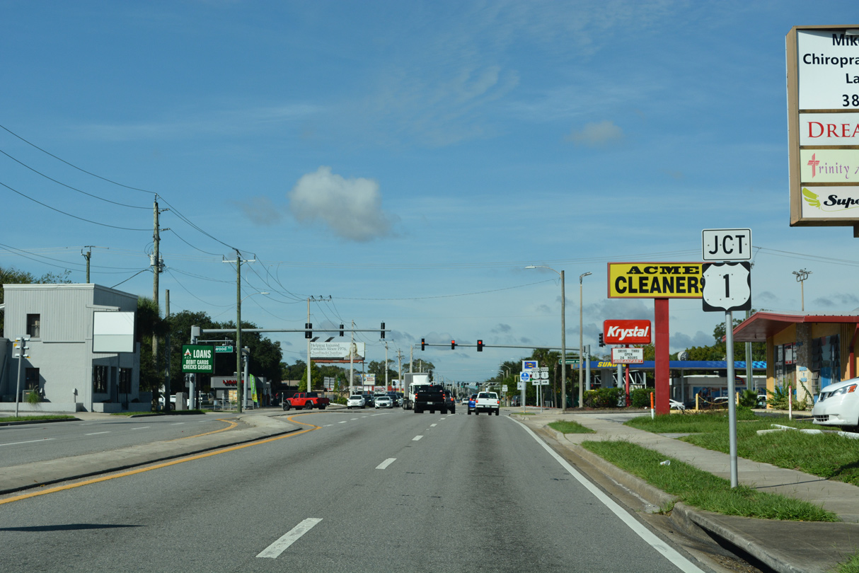
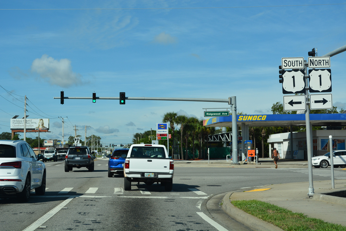
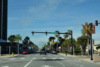
SR 430 continues west from Beach Street along Mason Avenue to U.S. 1 (Ridgewood Avenue).
06/19/08
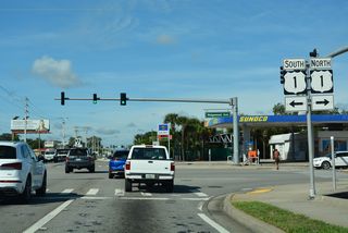
U.S. 1 carries four overall lanes northward to Holly Hill and southward to South Daytona. The urban arterial route generally serves local traffic along a commercial strip.
06/19/08
Confirming marker posted along Mason Avenue west after U.S. 1 (Ridgewood Avenue).
09/13/22
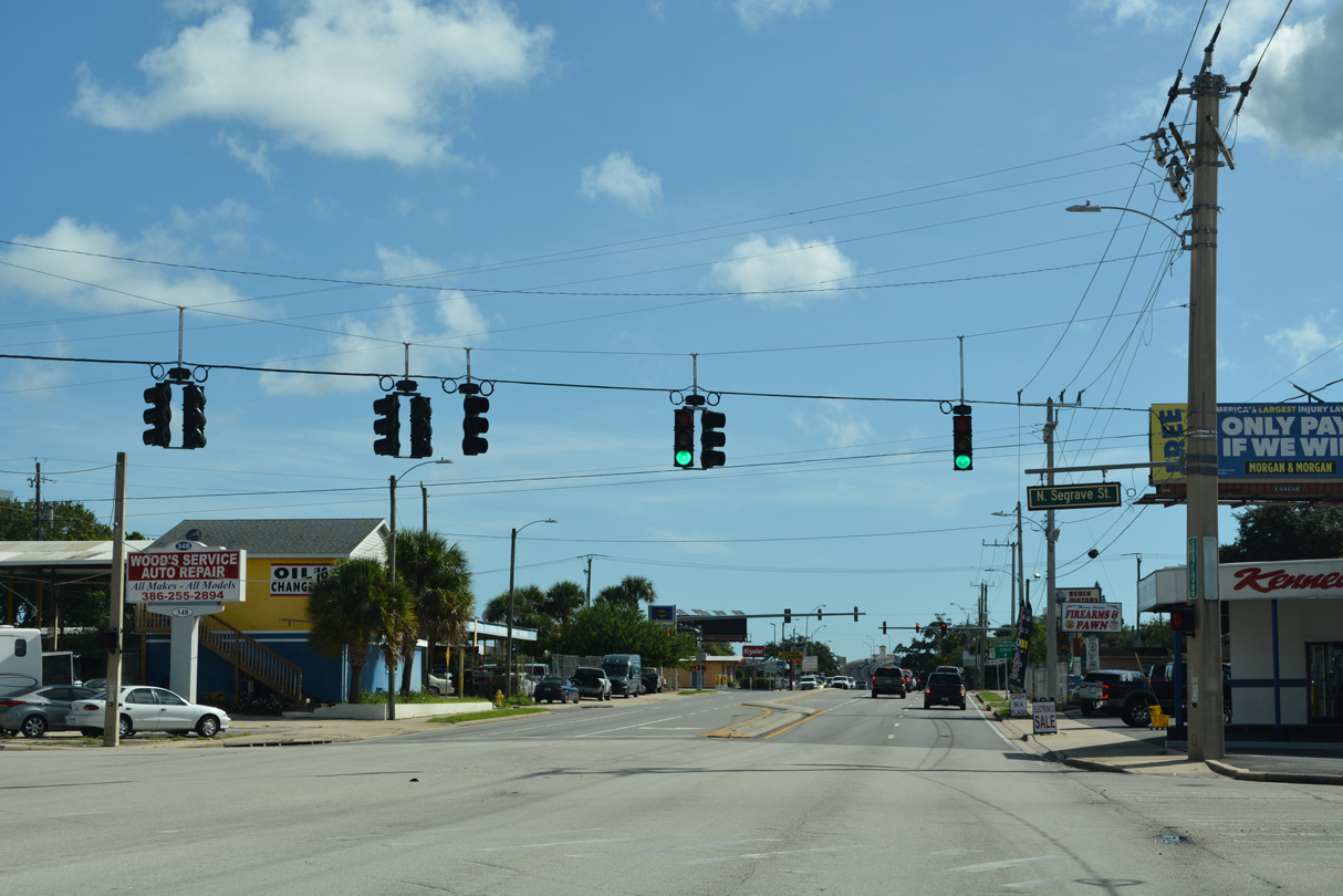
SR 430 (Mason Avenue) intersects Carswell Avenue at the ensuing westbound signal. An at-grade crossing with the Florida East Coast Railway follows.
09/13/22
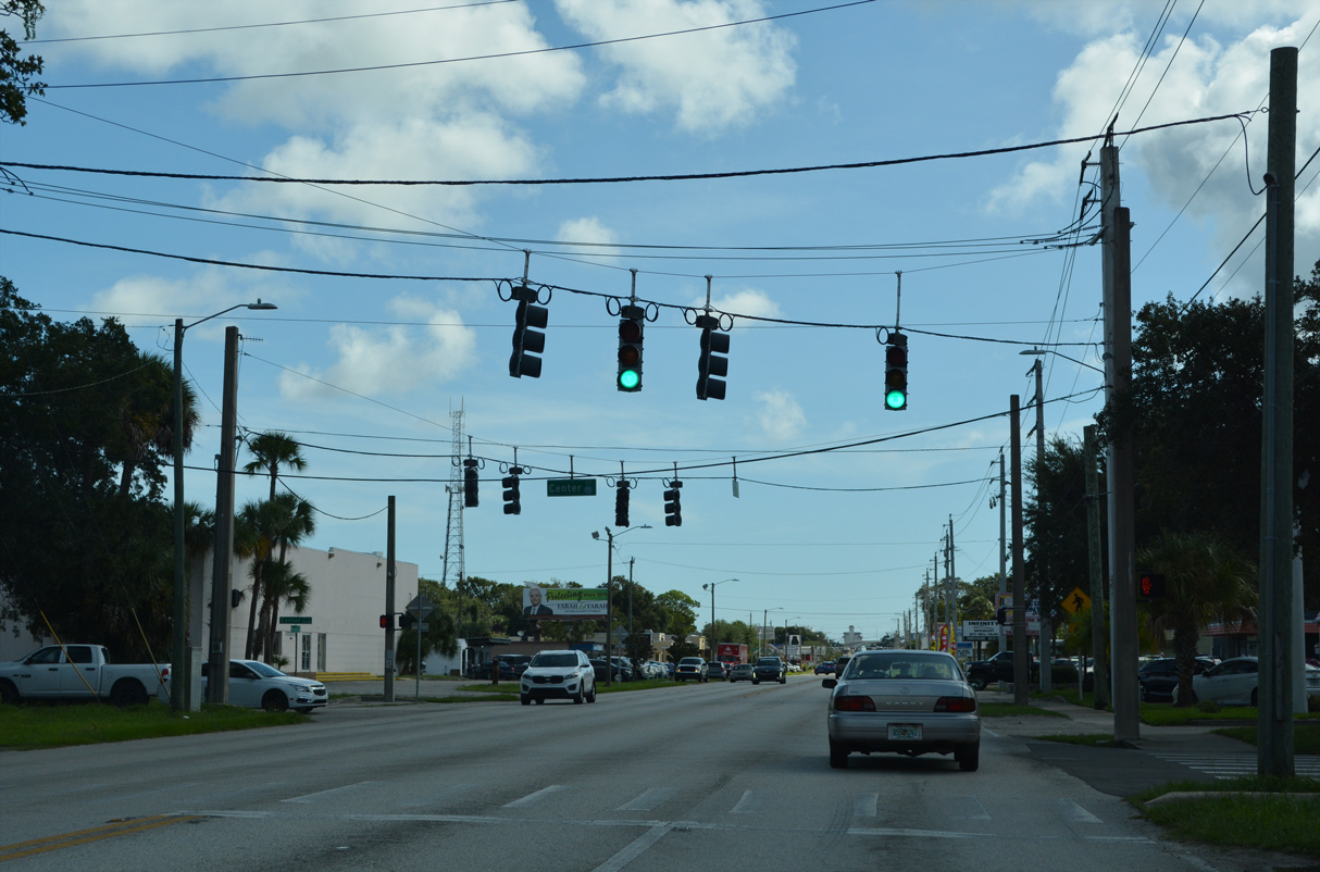
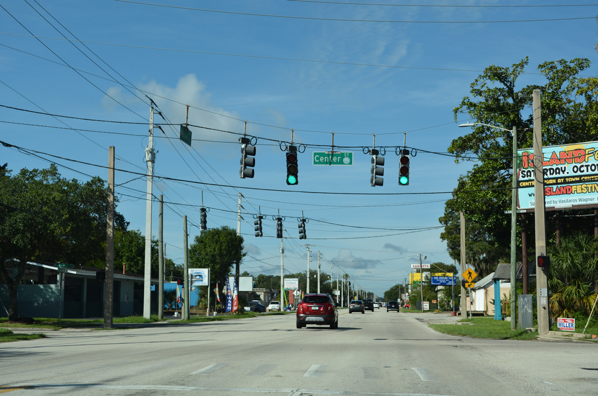
A staggered intersection joins Mason Avenue with Center Street north and Harrington Street south into adjacent neighborhoods of Daytona Beach.
09/13/22
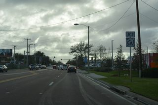
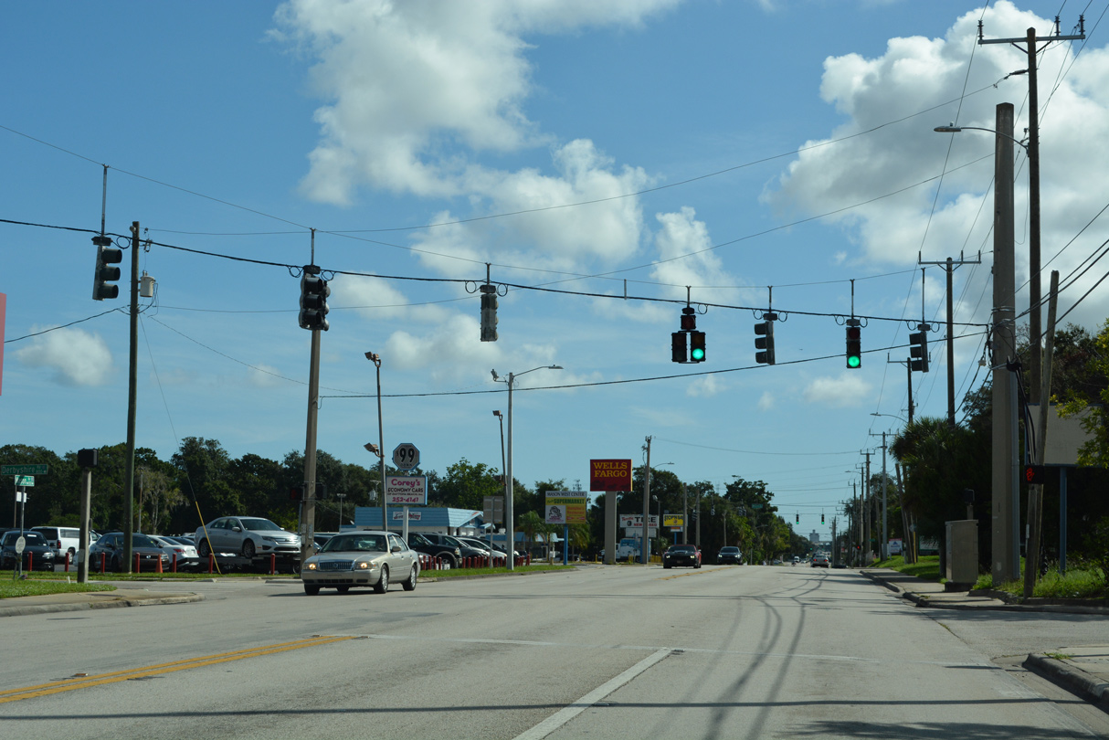
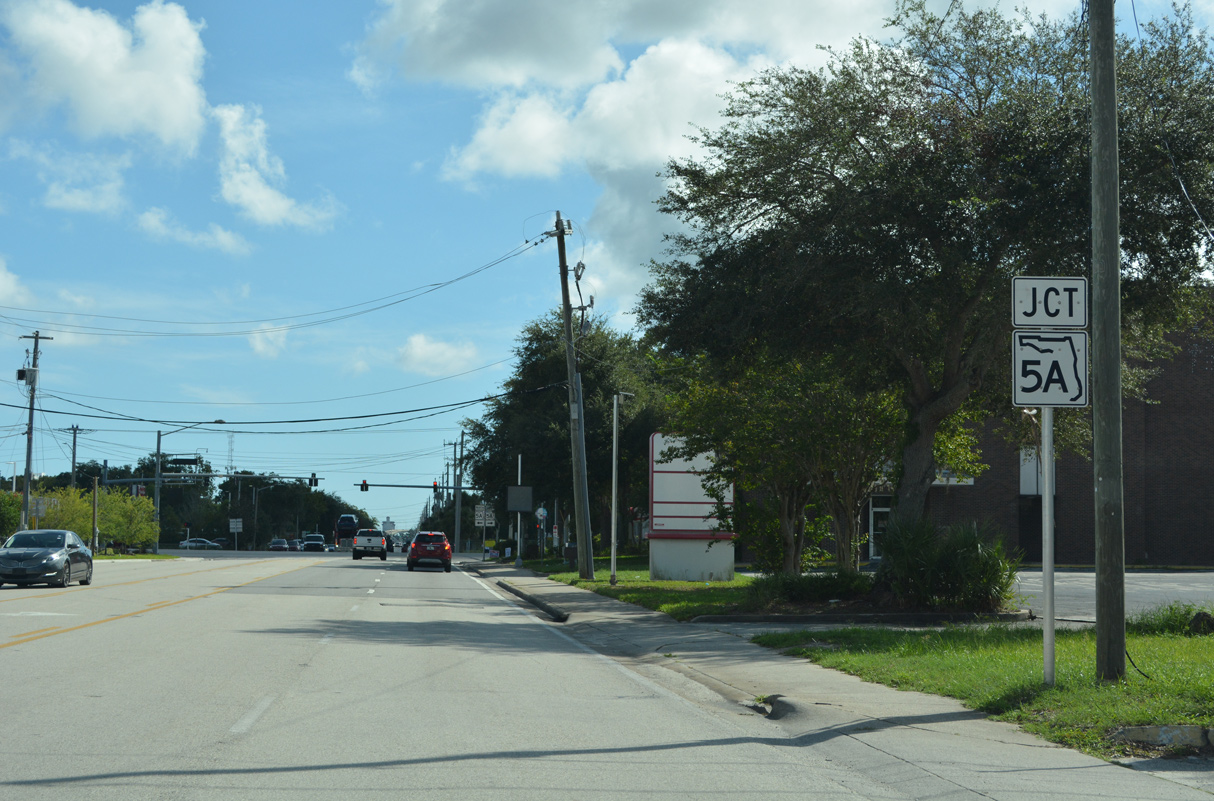
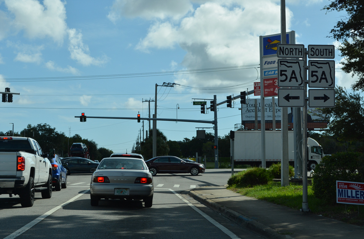
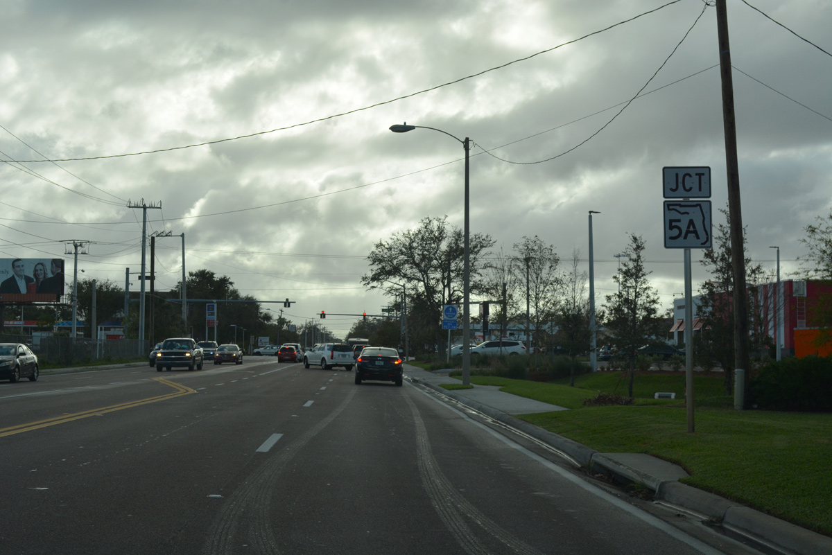
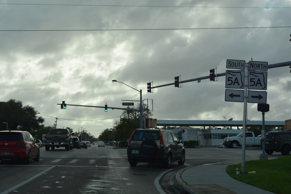
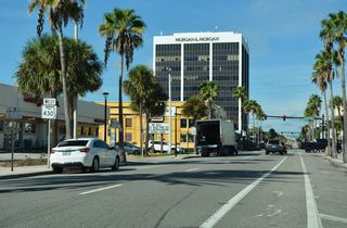
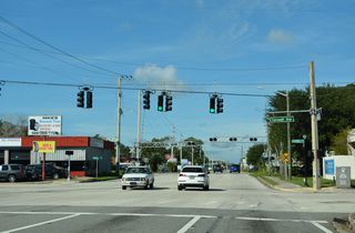
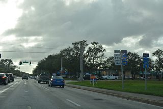
SR 5A (Nova Road) and SR 430 (Mason Avenue) west converge at a commercialized intersection by Holly Hill Plaza.
10/19/17
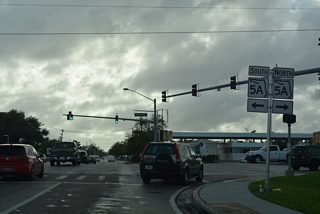
SR 5A (Nova Road) constitutes a arterial bypassing the city centers of Holly Hill, Daytona Beach and South Daytona, north and south to U.S. 1.
10/19/17
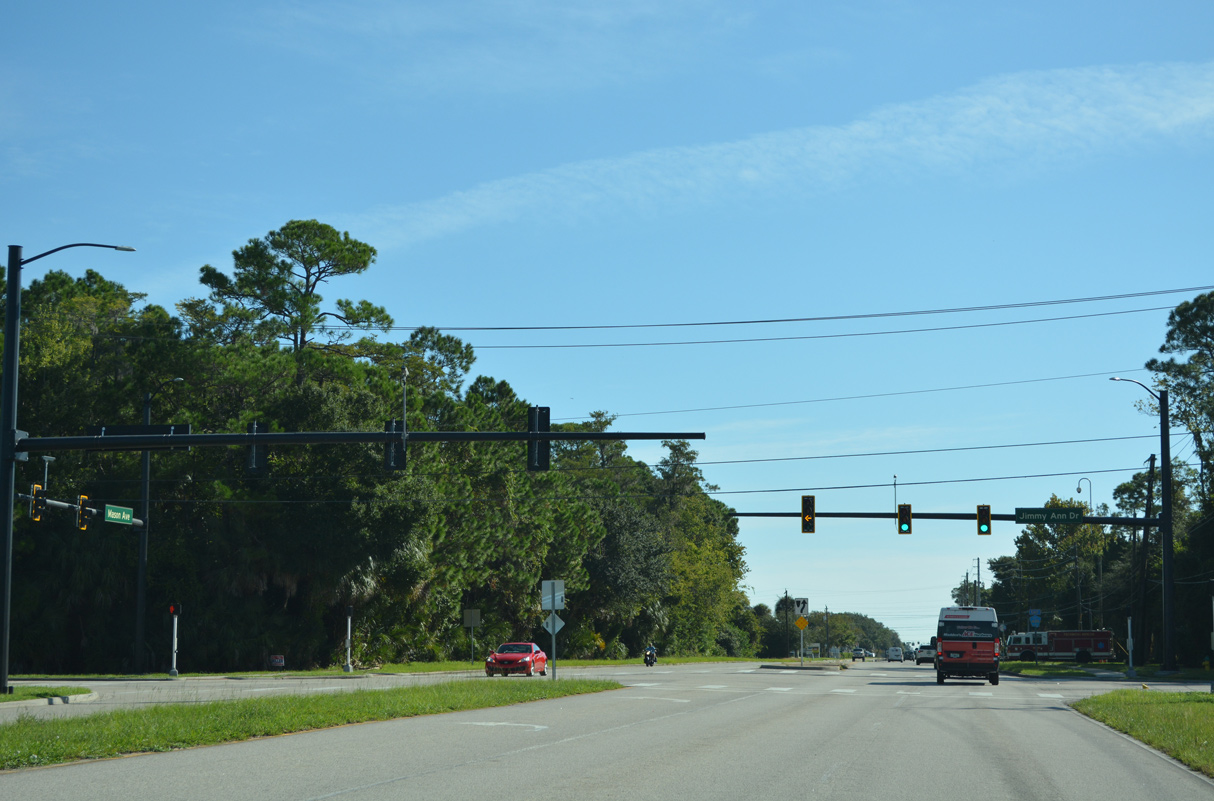
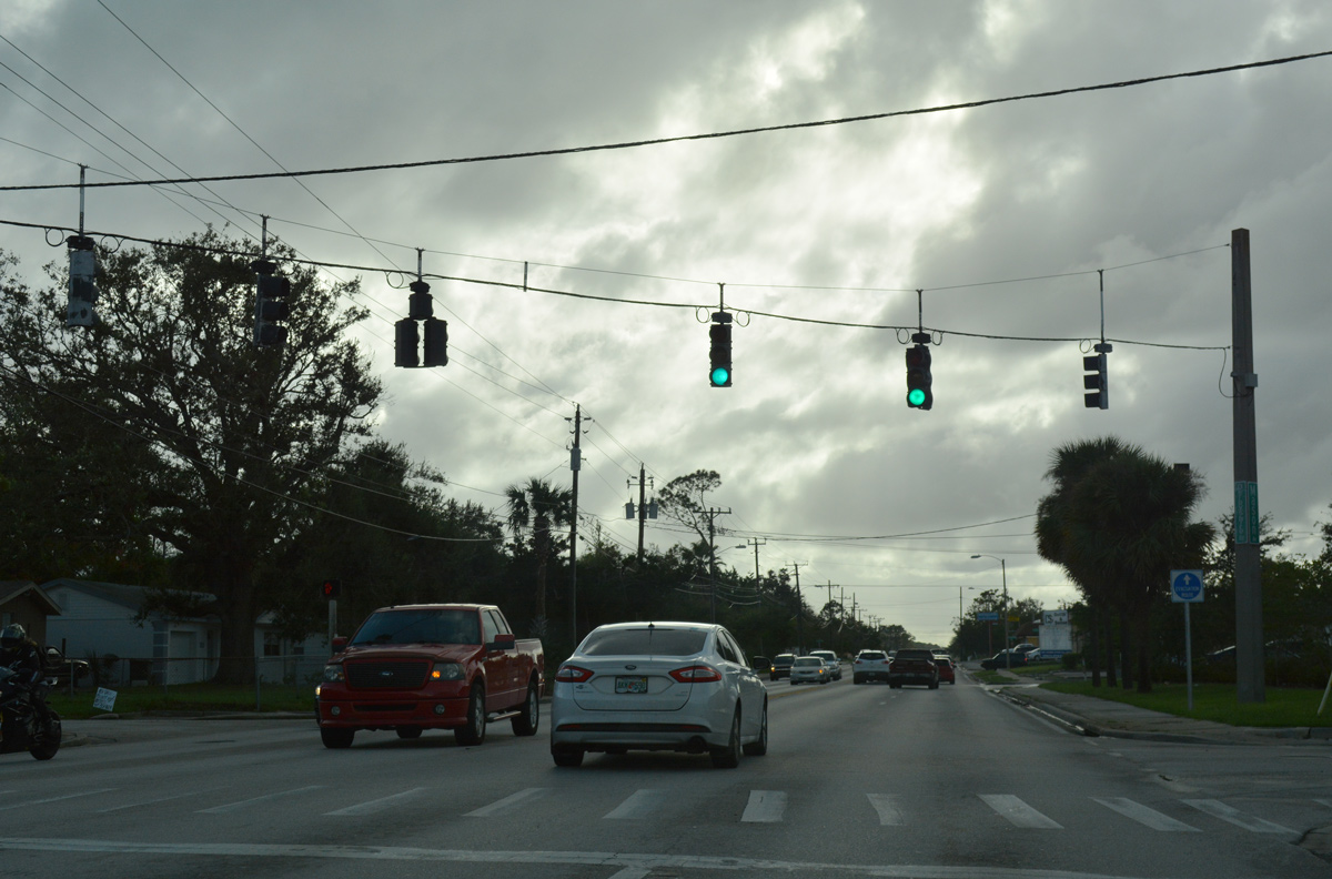
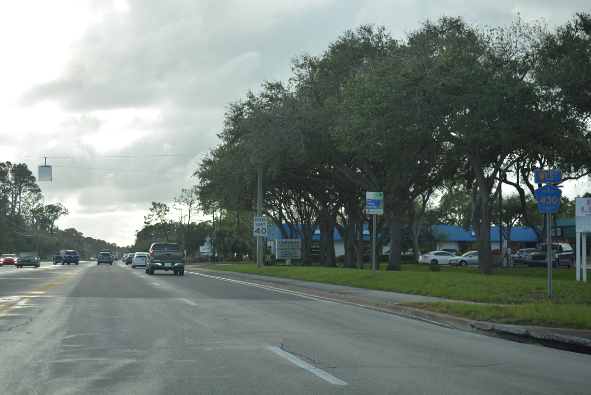
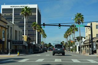
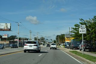
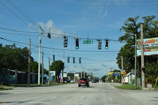
SR 430 (Mason Avenue) advances west as a five lane commercial boulevard from SR 5A (Nova Road).
10/19/17
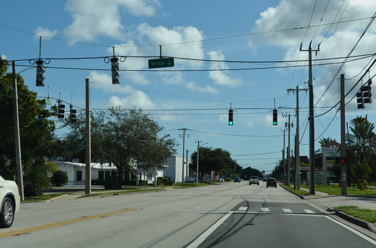
Vine Street stems north from SR 430 (Mason Avenue) and Masonova Commerce Park to the Yvonne Scarlett-Golden Cultural & Educational Center, an apartment complex and mobile home park.
10/19/17

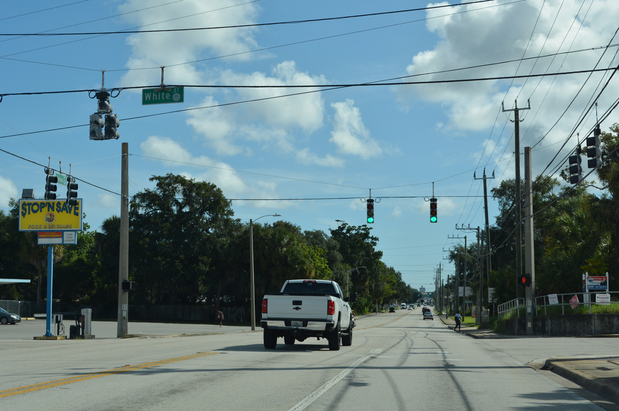
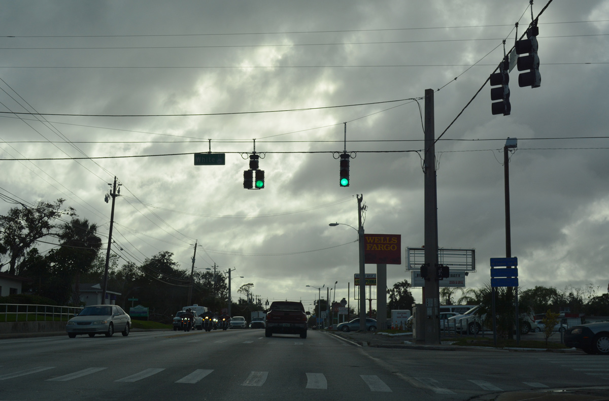
White Street intersects SR 430 (Mason Avenue) south from Brentwood Drive to UCF Daytona Beach.
10/19/17
Derbyshire Road follows in two blocks, heading north from SR 430 (Mason Avenue) to Derbyshire Park and Flomich Street as unsigned CR 4015.
10/19/17
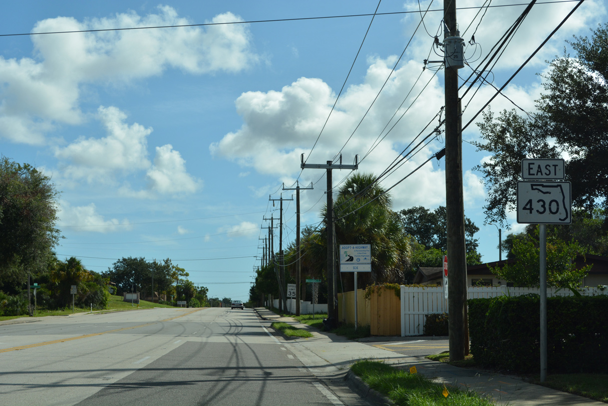
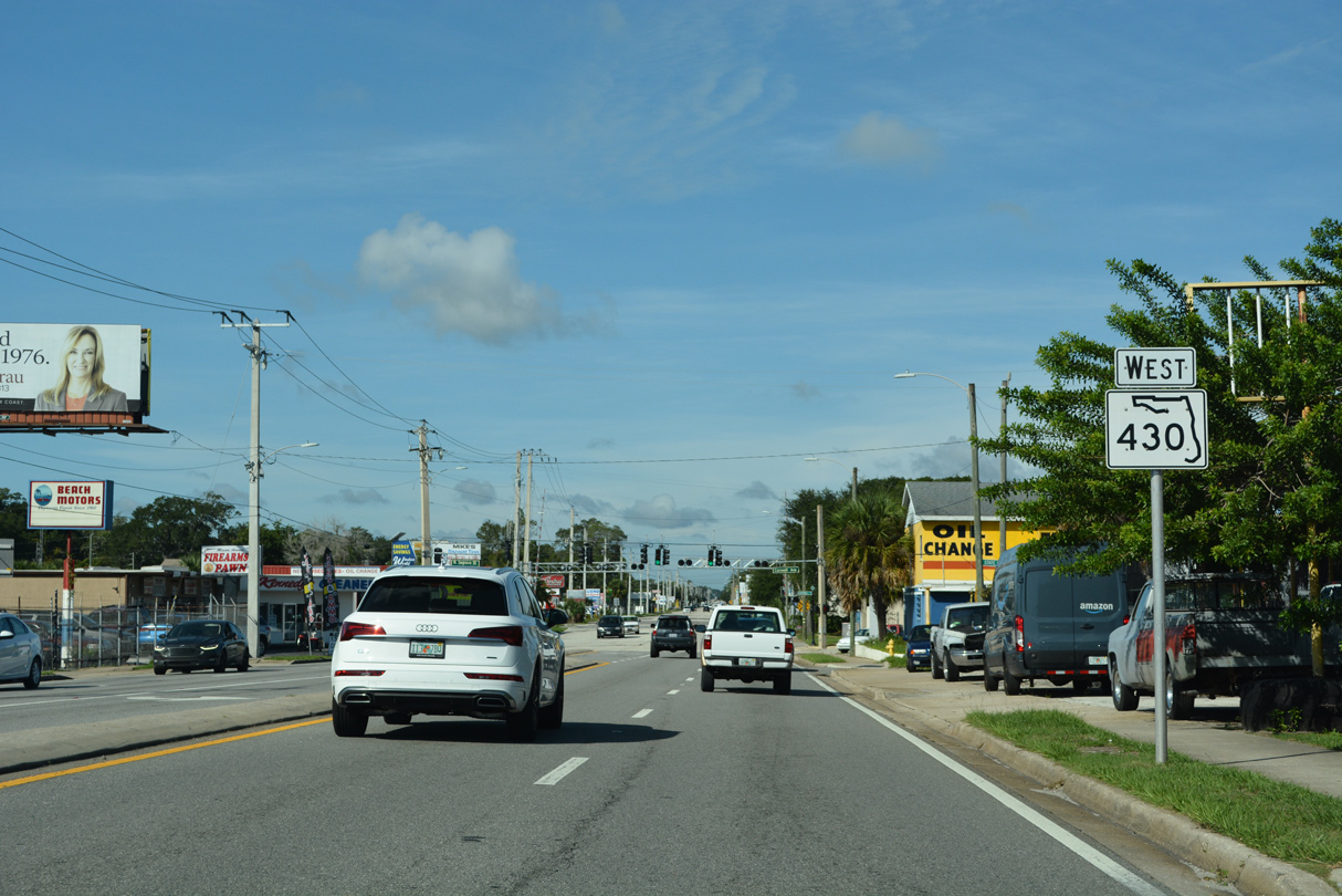
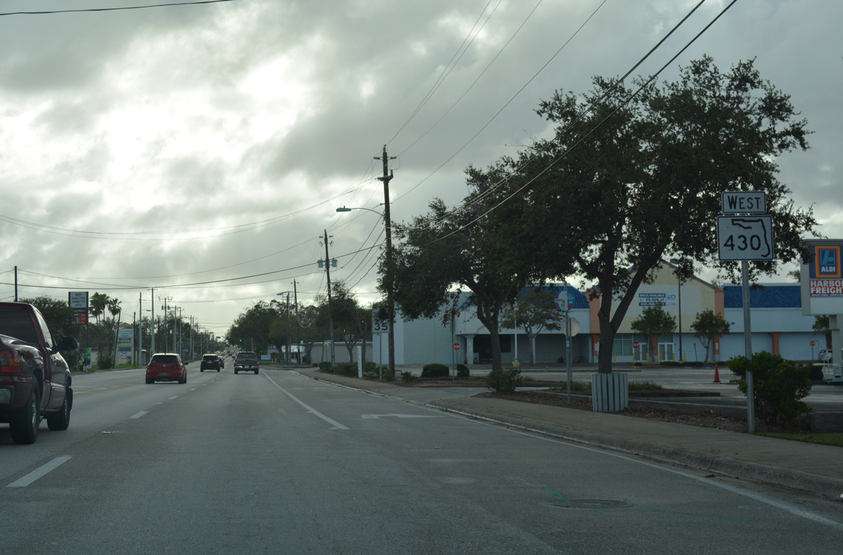
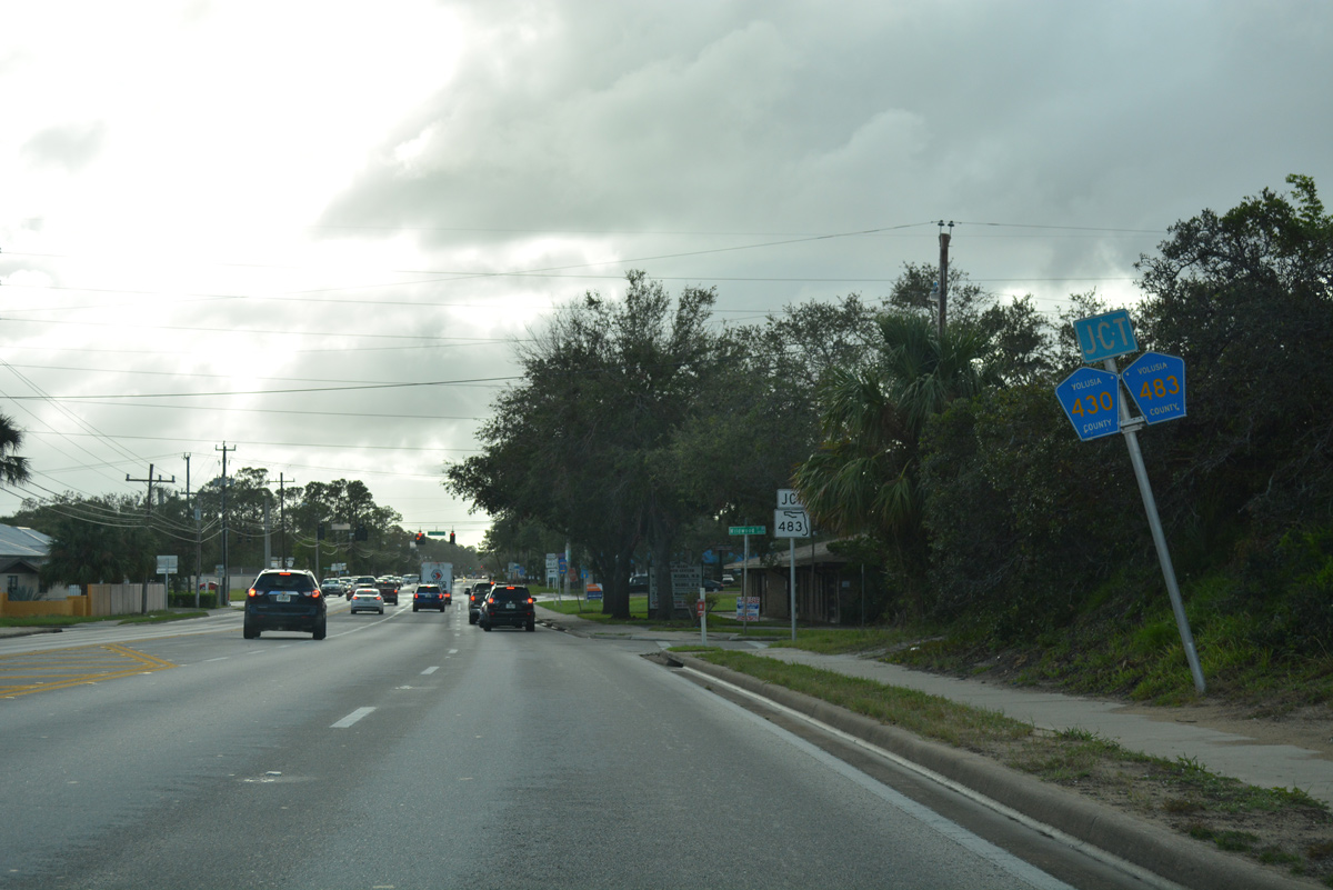
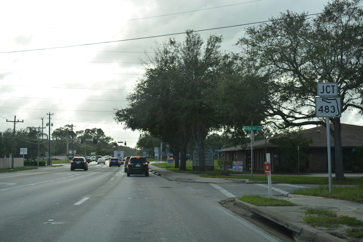
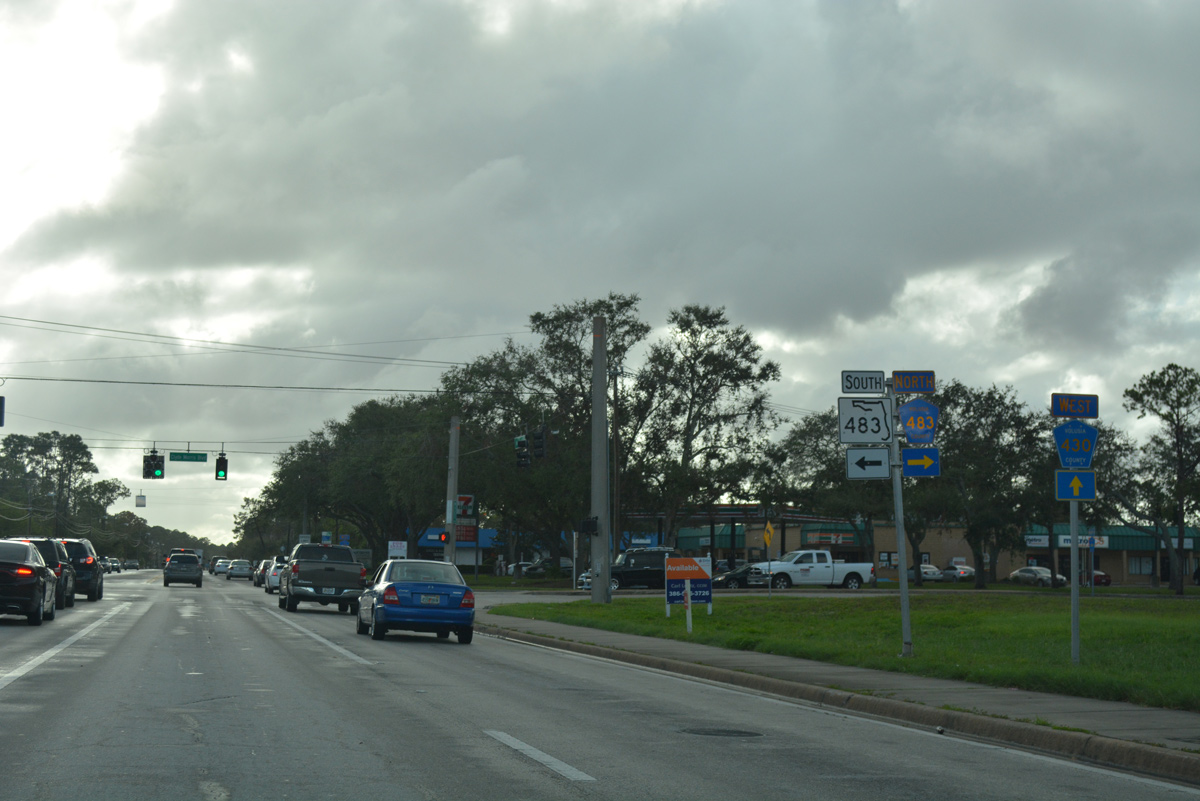
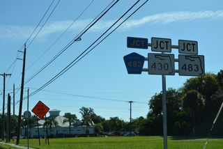
SR 430 continues 0.4 miles west from Derbyshire Road to end at SR 483 south, CR 430 west and CR 483 (Clyde Morris Boulevard) north.
10/19/17
SR 483 lines Clyde Morris Boulevard south from SR 430 (Mason Avenue) 3.38 miles to Embry-Riddle Aeronautical University and SR 400 (Beville Road).
10/19/17
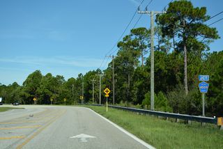
SR 430 west becomes CR 430 to CR 4009 (Williamson Boulevard). Clyde Morris Boulevard curves west and then north, doubling as CR 483, 5.30 miles to SR 40 (Granada Boulevard) in Ormond Beach.
10/19/17
West

County Road 430 extends Mason Avenue 1.88 miles west from SR 430 and SR 483 to an array of business parks and apartment complexes.
10/19/17
Mason Avenue (CR 430) curves west from Valor Boulevard to CR 4009 (Williamson Boulevard).
09/12/22
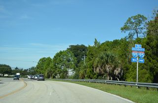
Williamson Boulevard is an arterial paralleling Interstate 95 north to Ormond Beach and south to Port Orange.
09/12/22
Mason Avenue continues as a local route south from the end of CR 430 at CR 4009 to Dunn Avenue.
09/12/22
Page Updated Monday November 07, 2022.