
State Road 5A - Nova Road
Florida State Road 5A constitutes a 15.62 mile long loop west from U.S. 1 in Volusia County. Following Nova Road, SR 5A branches west from U.S. 1 (Ridgewood Avenue) in the city of Port Orange near Rose Bay. The arterial turns northwest ahead of the commercialized intersection with SR 421 (Dunlawton Avenue) and follows a linear course into South Daytona.
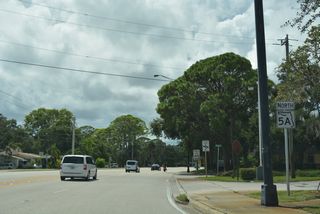
Continuing north, SR 5A (Nova Road) straddles the South Daytona and Daytona Beach city limits to SR 400 (Beville Road). Wholly entering the city nicknamed "The World's Most Famous Beach", SR 5A proceeds north by a mix of industrial parks, apartment complexes and retail west of the city center. North beyond SR 430 (Mason Avenue), Nova Road enters the city of Holly Hill.
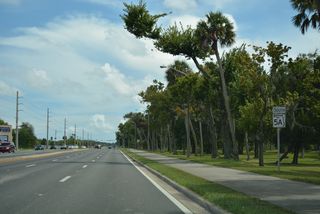
A 0.74 mile long segment of old Nova Road between 3rd Street and 10th Street along the Daytona Beach and Holly Hill city line is still state maintained and inventoried as a branch of SR 5A. Separated by a canal, SR 5A parallels this segment along a six lane arterial nearby. The arterial overtakes the old alignment northward into Ormond Beach. SR 5A returns to U.S. 1 north of SR 40, Nova Community Park and an at-grade crossing with the Florida East Coast (FEC) Railway.
Florida State Road 5A Guides
Connect with:
Page Updated Sunday November 06, 2022.